EstuaryWatch Data Portal
GMC Gellibrand River Estuary Mouth Observation Site
23 August 2009
Observation details
Overview
| Estuary | Gellibrand River Estuary |
|---|---|
| Site | Gellibrand River Estuary Mouth Observation Site |
| Observation ID | #2342 |
| Date and Time | Sunday 23rd August 2009 10:35am |
| Approved | Approved |
Notes
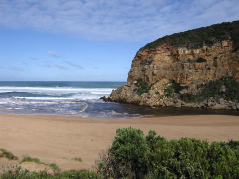
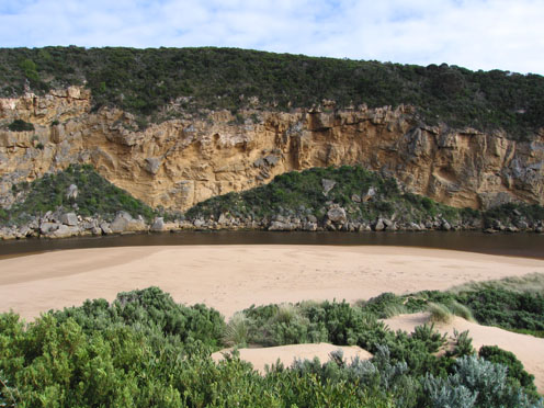
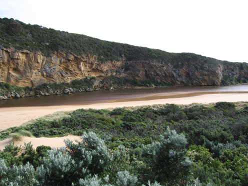
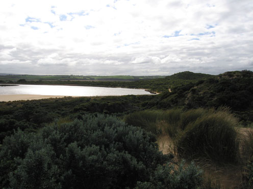
1.Flow mainly out but waves entering and travelling on east side of channel into estuary.
2.Strong north wind raising waves (10cm+) in estuary
3.Brown discharge out flow close to shoreline travelling east
4.Waves going in all directions at mouth, longshore drift from east bringing sand into channel and around rocks
5.Sand visiable in breakers 50-80m out to sea
6.Waves covering sand (11.45am)-only about 10m. of sand exposed near sand dunes opposite tunnel
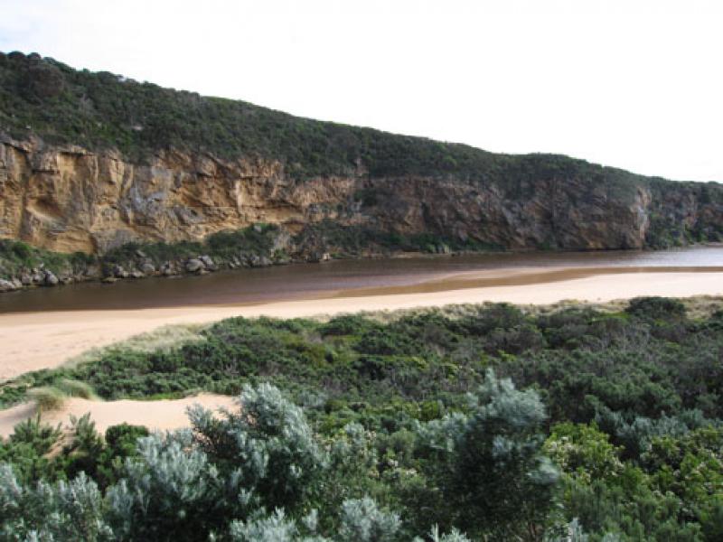
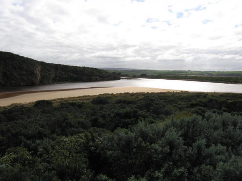
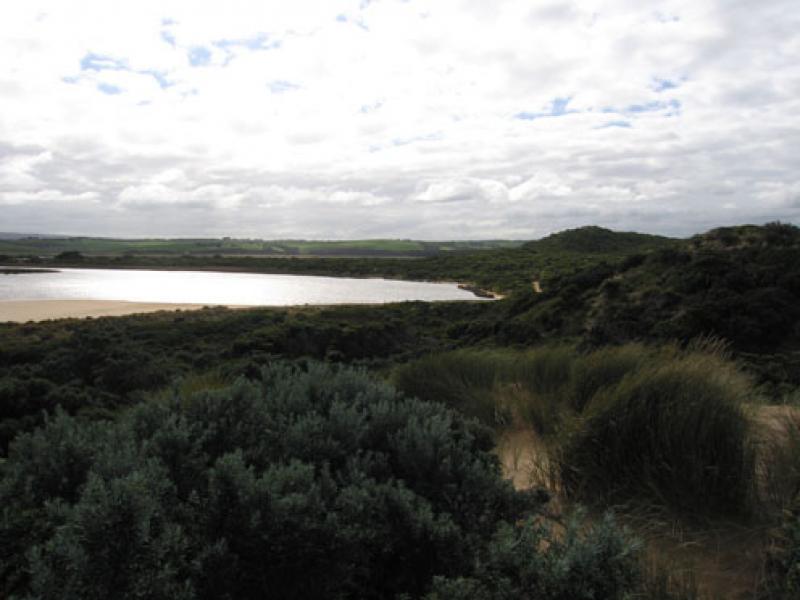
Mouth Observation
| Mouth state | Open |
|---|---|
| Previous | O O O O O O C O O O C C C C O O O O O O O O C C C C C C C C C O C O O O O O O P O O O O P P P C P P O O O O P P O O O O O O C O O O O O O O O O |
| Flow Present? | Yes |
| Previous | Y Y Y Y Y Y N Y Y Y N N Y Y Y Y Y Y Y Y Y N N N N N N N N Y N Y Y Y Y Y Y Y Y Y Y Y Y Y Y N Y Y Y Y Y Y Y Y Y Y Y Y Y Y Y Y Y Y Y Y Y Y Y Y |
| Flow Direction | Out |
| Previous | O O I O O O N O O O N N I O O O O O O O I N N N N N N N N O N O O O O O O I O O O O O I N I I O O O I I O O O O I I O I O O O O O O O O |
| Above Sea | Above Estuary | |
|---|---|---|
| Berm Height (m) | ||
| Berm Length (m) |
Physical Condition
| Current | Mode | |
|---|---|---|
| Wind Direction | North-West | North-West |
| Beaufort Scale | High wind, moderate gale, near gale | High wind, moderate gale, near gale |
| Sea State | Rough | Rough |


All content, files, data and images provided by the EstuaryWatch Data Portal and Gallery are subject to a Creative Commons Attribution License
Content is made available to be used in any way, and should always attribute EstuaryWatch and www.estuarywatch.org.au