EstuaryWatch Data Portal
GMC Gellibrand River Estuary Mouth Observation Site
28 August 2009
Observation details
Overview
| Estuary | Gellibrand River Estuary |
|---|---|
| Site | Gellibrand River Estuary Mouth Observation Site |
| Observation ID | #2407 |
| Date and Time | Friday 28th August 2009 11:40am |
| Approved | Approved |
Notes
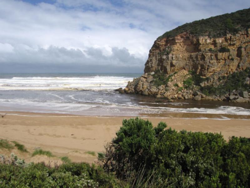
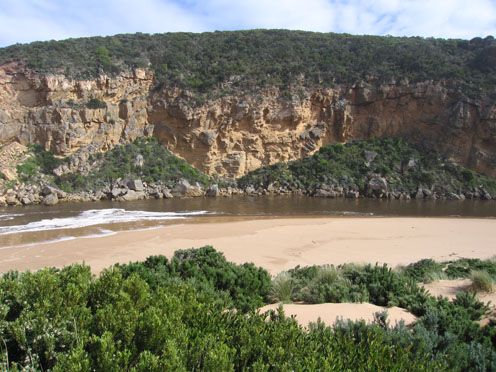
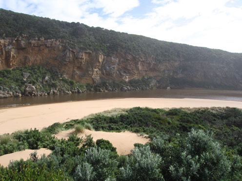
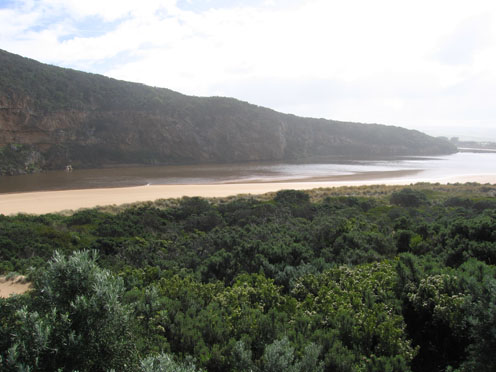
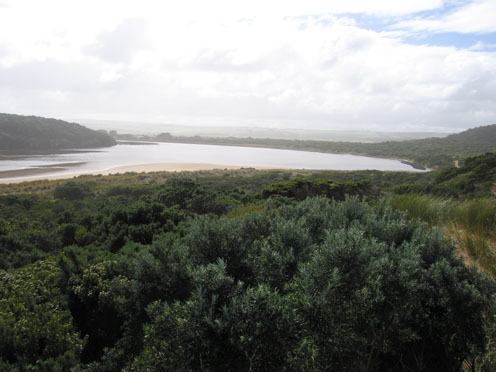
1.very strong outflow. Brown discharge seems to be going out to sea south and possibly s/w as well as along shoreline.Difficult to tell because of foam and white water.
2.Occasional wave along east side of channel into estuary
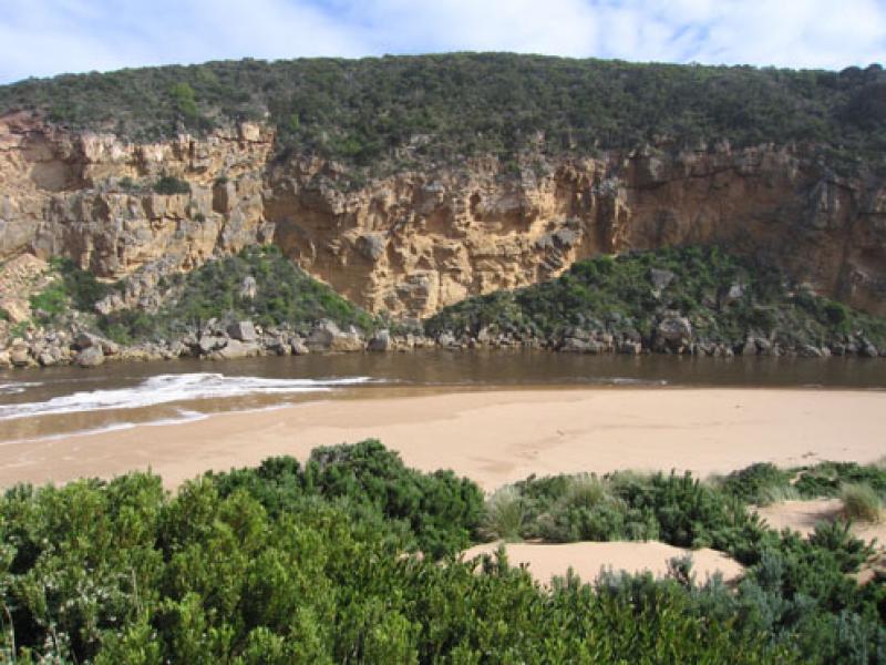
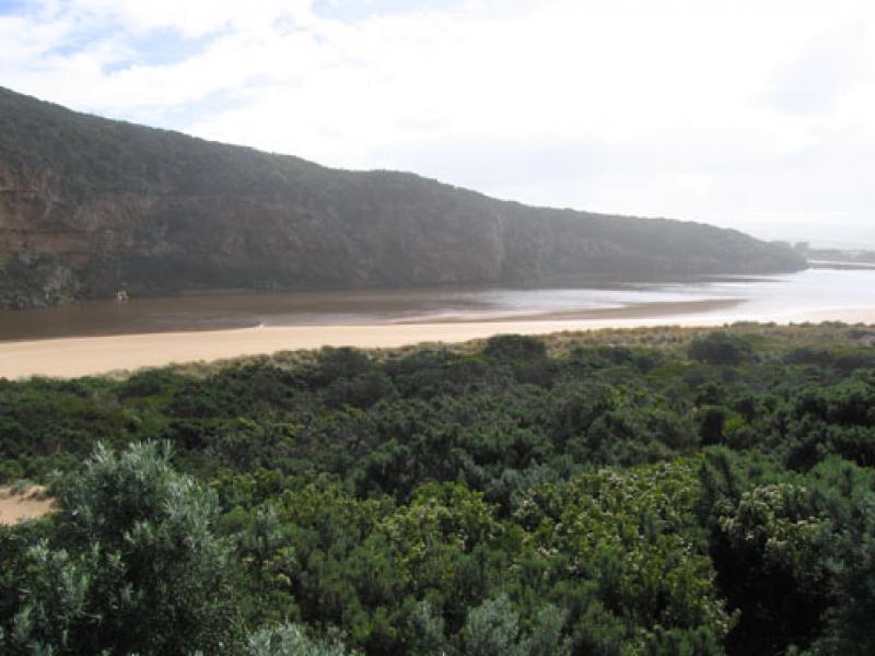
3.More sand along channel exposed, beach - gradual slope back to ocean.Rocks exposed at east end of beach
4.Water circling at entrance.
5.Huge amount of rubbish along s/e side of estuary(including a lot of plastic)
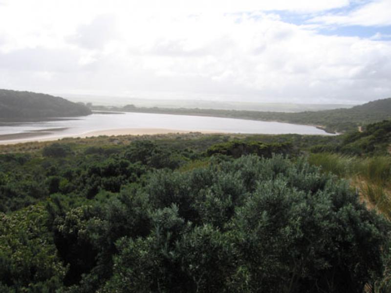
6.Some large thin fish (15cm.) in reeds e.side of estuary. Water very dirty -Dark redish brown.Turbidity between 50-60 at that area
7.Serious flooding upstream G4. No water over road between Kangaroobie and GOR.
8.AHD G6 - 3.62 at 15:15
Mouth Observation
| Mouth state | Open |
|---|---|
| Previous | O O O O O C O O O C C C C O O O O O O O O C C C C C C C C C O C O O O O O O P O O O O P P P C P P O O O O P P O O O O O O C O O O O O O O O O O O O O |
| Flow Present? | Yes |
| Previous | Y Y Y Y Y N Y Y Y N N Y Y Y Y Y Y Y Y Y N N N N N N N N Y N Y Y Y Y Y Y Y Y Y Y Y Y Y Y N Y Y Y Y Y Y Y Y Y Y Y Y Y Y Y Y Y Y Y Y Y Y Y Y Y Y Y Y |
| Flow Direction | Out |
| Previous | O I O O O N O O O N N I O O O O O O O I N N N N N N N N O N O O O O O O I O O O O O I N I I O O O I I O O O O I I O I O O O O O O O O O O O O |
| Above Sea | Above Estuary | |
|---|---|---|
| Berm Height (m) | ||
| Berm Length (m) |
Physical Condition
| Current | Mode | |
|---|---|---|
| Wind Direction | North-West | North-West |
| Beaufort Scale | Fresh breeze | High wind, moderate gale, near gale |
| Sea State | Very Rough | Very Rough |


All content, files, data and images provided by the EstuaryWatch Data Portal and Gallery are subject to a Creative Commons Attribution License
Content is made available to be used in any way, and should always attribute EstuaryWatch and www.estuarywatch.org.au