EstuaryWatch Data Portal
GMC Gellibrand River Estuary Mouth Observation Site
26 September 2009
Observation details
Overview
| Estuary | Gellibrand River Estuary |
|---|---|
| Site | Gellibrand River Estuary Mouth Observation Site |
| Observation ID | #2545 |
| Date and Time | Saturday 26th September 2009 09:40am |
| Approved | Approved |
Notes
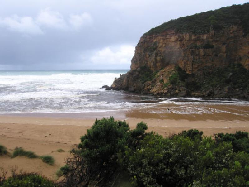
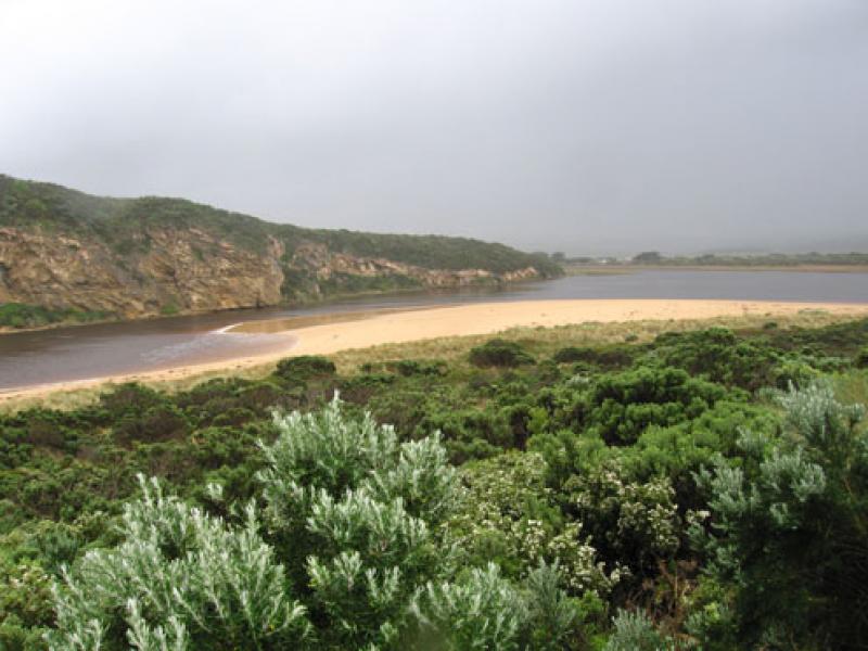
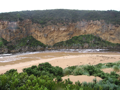
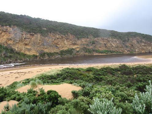
1.Strong out flow of dark water to east & south. Some waves entering estuary down east side of channel and travelling down estuary to opp. camping ground, then much reduced are continuing on to G2.
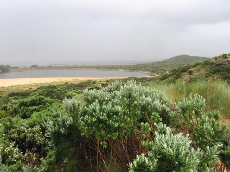
2.Waves reaching base of dunes on beach (evidence of higher water at high tide). Large sand build up at eastern end of beach. Sand visiable in sea all along coast (recent rock falls west of river)
3.Channel upstream of rocks is reduced. Longshore drift and whirlpool activity visiable
4.Large waves in all directions at mouth
Mouth Observation
| Mouth state | Open |
|---|---|
| Previous | O O O C O O O C C C C O O O O O O O O C C C C C C C C C O C O O O O O O P O O O O P P P C P P O O O O P P O O O O O O C O O O O O O O O O O O O O O O O O O |
| Flow Present? | Yes |
| Previous | Y Y Y N Y Y Y N N Y Y Y Y Y Y Y Y Y N N N N N N N N Y N Y Y Y Y Y Y Y Y Y Y Y Y Y Y N Y Y Y Y Y Y Y Y Y Y Y Y Y Y Y Y Y Y Y Y Y Y Y Y Y Y Y Y Y Y Y Y Y |
| Flow Direction | Out |
| Previous | O O O N O O O N N I O O O O O O O I N N N N N N N N O N O O O O O O I O O O O O I N I I O O O I I O O O O I I O I O O O O O O O O O O O O O O O O O |
| Above Sea | Above Estuary | |
|---|---|---|
| Berm Height (m) | ||
| Berm Length (m) |
Physical Condition
| Current | Mode | |
|---|---|---|
| Wind Direction | South-West | North-West |
| Beaufort Scale | High wind, moderate gale, near gale | Fresh breeze |
| Sea State | Very Rough | Rough |


All content, files, data and images provided by the EstuaryWatch Data Portal and Gallery are subject to a Creative Commons Attribution License
Content is made available to be used in any way, and should always attribute EstuaryWatch and www.estuarywatch.org.au