EstuaryWatch Data Portal
GMC Gellibrand River Estuary Mouth Observation Site
6 February 2010
Observation details
Overview
| Estuary | Gellibrand River Estuary |
|---|---|
| Site | Gellibrand River Estuary Mouth Observation Site |
| Observation ID | #3145 |
| Date and Time | Saturday 6th February 2010 08:13am |
| Approved | Approved |
Notes
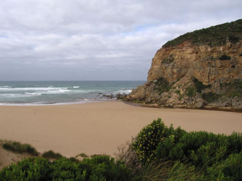
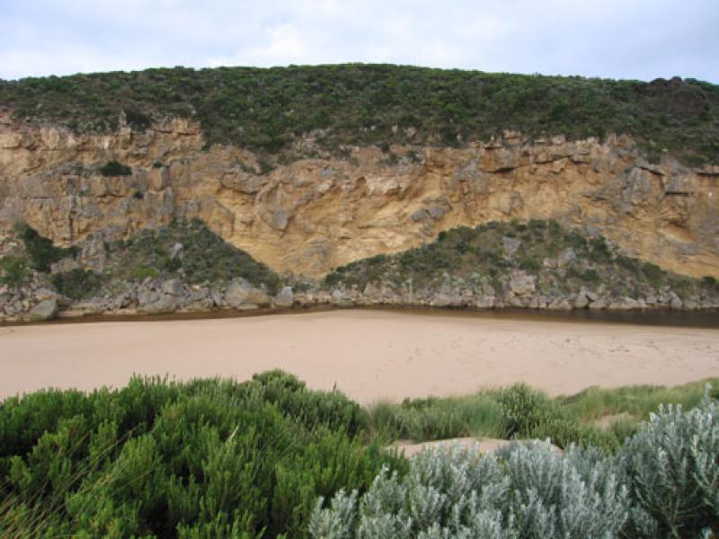
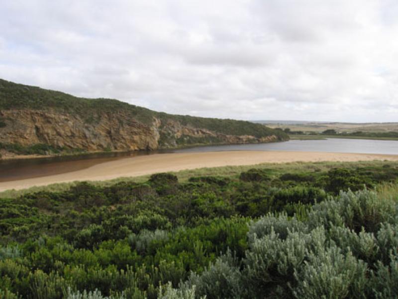
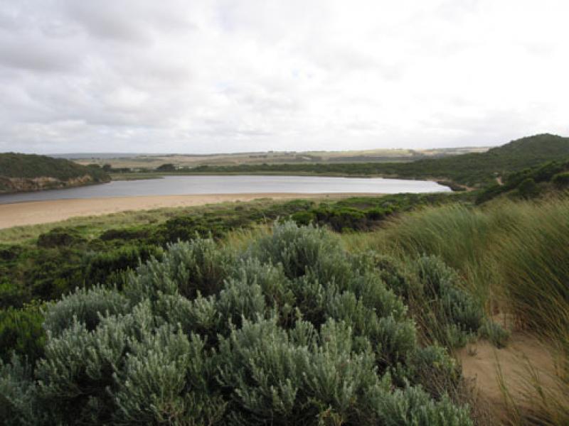
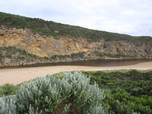
1. Mouth re-opened 05.02.10 flowing through shallow/wide entrance.
2. 06.02.10 - now flowing through a new deeper channel nearer to the cliff (west)
Narrow just infront of rocks 2-3m wide and about 5m+ through the sand at entrance.
Out flow making large 'waves' in channel, slight discolouration around mouth and slightly to the east
3. Banks of channel cut away to about 30cm. behind rocks. Channel from rocks to 1/3 upstream is still shallow
4.. Steep front to beach. Rocks at east and infront of cliff (west) fully exposed (very low tide)
5. Weather overcast and cold s. wind
6. Hooded plover sighted on beach (4) many tracks all along beach
Mouth Observation
| Mouth state | Open |
|---|---|
| Previous | C C C C C C C O C O O O O O O P O O O O P P P C P P O O O O P P O O O O O O C O O O O O O O O O O O O O O O O O O O O O O O O O O O O O O O O O O O O O O P |
| Flow Present? | Yes |
| Previous | N N N N N N N Y N Y Y Y Y Y Y Y Y Y Y Y Y Y Y N Y Y Y Y Y Y Y Y Y Y Y Y Y Y Y Y Y Y Y Y Y Y Y Y Y Y Y Y Y Y Y Y Y Y Y Y Y Y Y Y Y Y Y Y Y Y Y Y Y Y Y Y Y Y |
| Flow Direction | Out |
| Previous | N N N N N N N O N O O O O O O I O O O O O I N I I O O O I I O O O O I I O I O O O O O O O O O O O O O O O O O O O O O O O O O O O O O O O O O O O O O O |
| Above Sea | Above Estuary | |
|---|---|---|
| Berm Height (m) | ||
| Berm Length (m) |
Physical Condition
| Current | Mode | |
|---|---|---|
| Wind Direction | South | East |
| Beaufort Scale | Fresh breeze | Fresh breeze |
| Sea State | Moderate | Rough |


All content, files, data and images provided by the EstuaryWatch Data Portal and Gallery are subject to a Creative Commons Attribution License
Content is made available to be used in any way, and should always attribute EstuaryWatch and www.estuarywatch.org.au