EstuaryWatch Data Portal
GMC Gellibrand River Estuary Mouth Observation Site
19 February 2010
Observation details
Overview
| Estuary | Gellibrand River Estuary |
|---|---|
| Site | Gellibrand River Estuary Mouth Observation Site |
| Observation ID | #3179 |
| Date and Time | Friday 19th February 2010 07:45am |
| Approved | Approved |
Notes
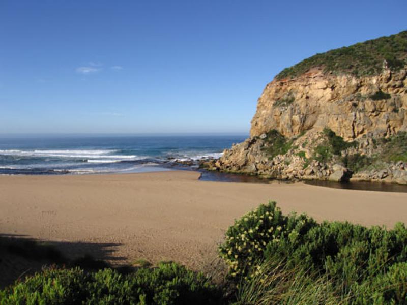
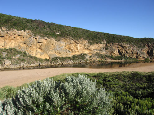
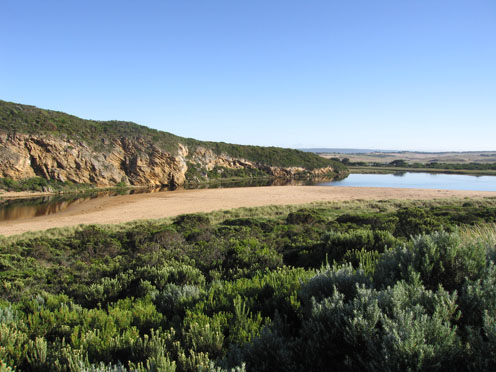
1.Out flow has increased creating a larger pool upstream of the rocks with 60cm banks on east side. The water in this pool is higher than downstream of rocks. Water is cascading over rocks in channel between large rocks and cliff (4-5m wide)
2. water downstream of rocks is sweeping strongly around the curve(east side) then through a deeper channel (close to cliff) across the sand build up at the mouth. The flow is very turbulent. Longshore drift is still bringing sand back into channel and the high edge (50cm +) constantly dropping into the flow.
3.The redish brown discharge is mainly around the mouth and slightly to east. A lot of sand is visiable in the breakers south of the entrance
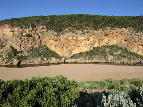
4. Beach front has a more gradual slope to ocean and rocks at east end are exposed
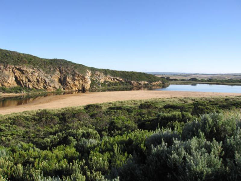
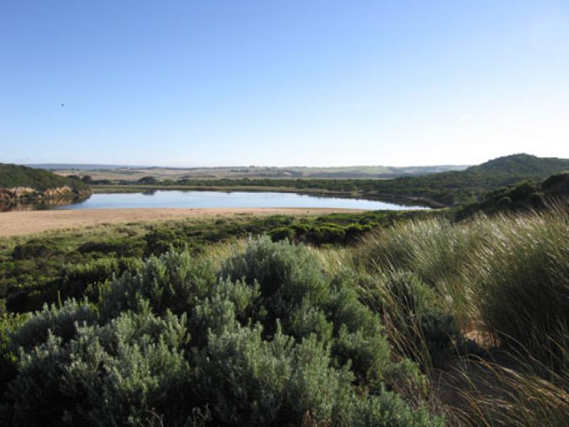
5.Water level in estuary is higher
Mouth Observation
| Mouth state | Open |
|---|---|
| Previous | C C C C C O C O O O O O O P O O O O P P P C P P O O O O P P O O O O O O C O O O O O O O O O O O O O O O O O O O O O O O O O O O O O O O O O O O O O O P O O O |
| Flow Present? | Yes |
| Previous | N N N N N Y N Y Y Y Y Y Y Y Y Y Y Y Y Y Y N Y Y Y Y Y Y Y Y Y Y Y Y Y Y Y Y Y Y Y Y Y Y Y Y Y Y Y Y Y Y Y Y Y Y Y Y Y Y Y Y Y Y Y Y Y Y Y Y Y Y Y Y Y Y Y Y Y |
| Flow Direction | Out |
| Previous | N N N N N O N O O O O O O I O O O O O I N I I O O O I I O O O O I I O I O O O O O O O O O O O O O O O O O O O O O O O O O O O O O O O O O O O O O O O O O |
| Above Sea | Above Estuary | |
|---|---|---|
| Berm Height (m) | ||
| Berm Length (m) |
Physical Condition
| Current | Mode | |
|---|---|---|
| Wind Direction | North-East | South-East |
| Beaufort Scale | Light Breeze | Fresh breeze |
| Sea State | Moderate | Moderate |


All content, files, data and images provided by the EstuaryWatch Data Portal and Gallery are subject to a Creative Commons Attribution License
Content is made available to be used in any way, and should always attribute EstuaryWatch and www.estuarywatch.org.au