EstuaryWatch Data Portal
GMC Gellibrand River Estuary Mouth Observation Site
17 April 2010
Observation details
Overview
| Estuary | Gellibrand River Estuary |
|---|---|
| Site | Gellibrand River Estuary Mouth Observation Site |
| Observation ID | #3423 |
| Date and Time | Saturday 17th April 2010 12:32pm |
| Approved | Approved |
Notes
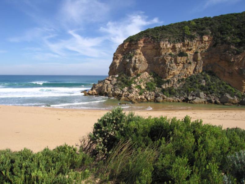
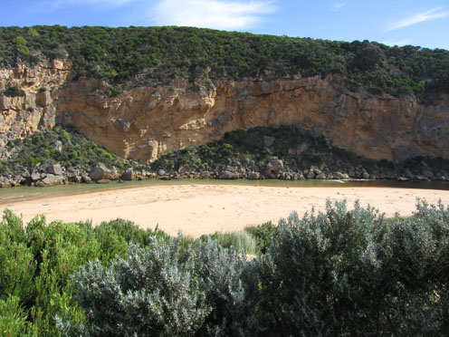
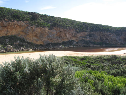
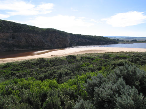
1. waves in all directions entering mouth and travelling up the channel. Only salt return flowing out.
2. Salt/fresh divide clearly visiable just upstream from tunnel(constantly moving)
3.Longshore drift continues to bring more sand into channel. Height and steepness of beach front reducing.
Mouth very shallow
3.Tide has been high on beach in estuary
4.
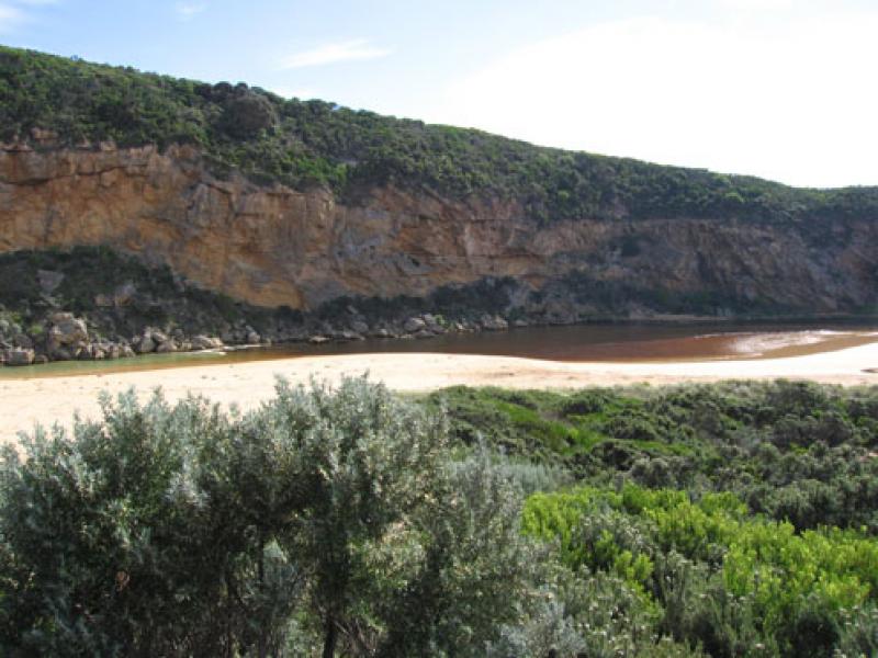
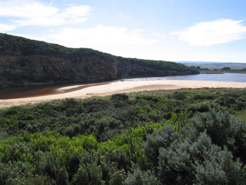
Mouth Observation
| Mouth state | Open |
|---|---|
| Previous | P C P P O O O O P P O O O O O O C O O O O O O O O O O O O O O O O O O O O O O O O O O O O O O O O O O O O O O P O O O O O O O O O O O O |
| Flow Present? | Yes |
| Previous | Y N Y Y Y Y Y Y Y Y Y Y Y Y Y Y Y Y Y Y Y Y Y Y Y Y Y Y Y Y Y Y Y Y Y Y Y Y Y Y Y Y Y Y Y Y Y Y Y Y Y Y Y Y Y Y Y Y Y Y Y Y Y Y Y Y Y Y |
| Flow Direction | Out |
| Previous | I N I I O O O I I O O O O I I O I O O O O O O O O O O O O O O O O O O O O O O O O O O O O O O O O O O O O O O O O O O O O O O I O O I |
| Above Sea | Above Estuary | |
|---|---|---|
| Berm Height (m) | ||
| Berm Length (m) |
Physical Condition
| Current | Mode | |
|---|---|---|
| Wind Direction | North | South-West |
| Beaufort Scale | Fresh breeze | Moderate breeze |
| Sea State | Moderate | Moderate |


All content, files, data and images provided by the EstuaryWatch Data Portal and Gallery are subject to a Creative Commons Attribution License
Content is made available to be used in any way, and should always attribute EstuaryWatch and www.estuarywatch.org.au