EstuaryWatch Data Portal
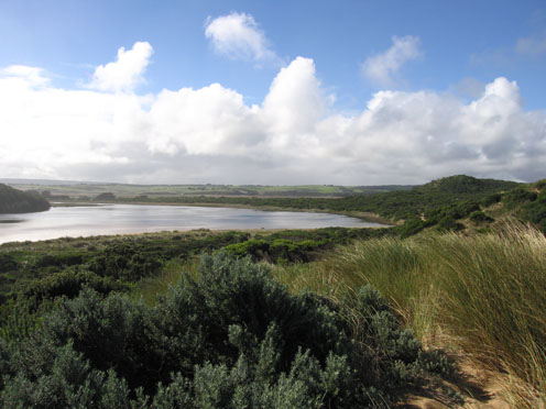
GMC Gellibrand River Estuary Mouth Observation Site
30 April 2010
Observation details
Overview
| Estuary | Gellibrand River Estuary |
|---|---|
| Site | Gellibrand River Estuary Mouth Observation Site |
| Observation ID | #3481 |
| Date and Time | Friday 30th April 2010 13:10pm |
| Approved | Approved |
Notes
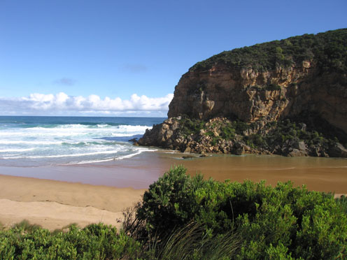
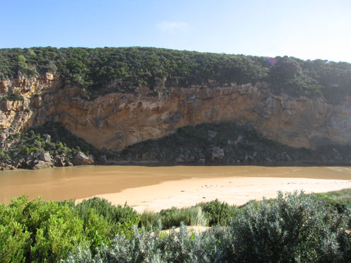
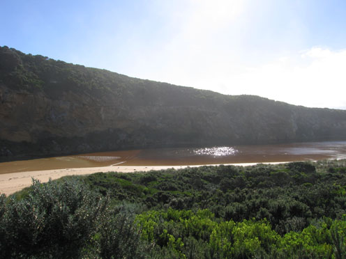
1.Bar has formed from mouth (wide area) to near tunnel. Waves are entering past tunnel into estuary (hi tide).Salt return flowing back to sea
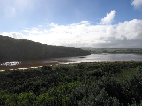
2.Hi tide mark is nearly up to the dunes in the estuary and along beach. Eastern end of beach has been scoured out.
3.Beach has now a long wide gradual slope to sea
4.Lot of 'jelly' on beach
5.Water is over low track around estuary
Mouth Observation
| Mouth state | Perched |
|---|---|
| Previous | O O O P P O O O O O O C O O O O O O O O O O O O O O O O O O O O O O O O O O O O O O O O O O O O O O P O O O O O O O O O O O O O O |
| Flow Present? | Yes |
| Previous | Y Y Y Y Y Y Y Y Y Y Y Y Y Y Y Y Y Y Y Y Y Y Y Y Y Y Y Y Y Y Y Y Y Y Y Y Y Y Y Y Y Y Y Y Y Y Y Y Y Y Y Y Y Y Y Y Y Y Y Y Y Y Y Y Y |
| Flow Direction | In |
| Previous | O O I I O O O O I I O I O O O O O O O O O O O O O O O O O O O O O O O O O O O O O O O O O O O O O O O O O O O O O O I O O I O O |
| Above Sea | Above Estuary | |
|---|---|---|
| Berm Height (m) | ||
| Berm Length (m) |
Physical Condition
| Current | Mode | |
|---|---|---|
| Wind Direction | South | West |
| Beaufort Scale | Moderate breeze | Strong breeze |
| Sea State | Rough | Rough |


All content, files, data and images provided by the EstuaryWatch Data Portal and Gallery are subject to a Creative Commons Attribution License
Content is made available to be used in any way, and should always attribute EstuaryWatch and www.estuarywatch.org.au