EstuaryWatch Data Portal
GMC Gellibrand River Estuary Mouth Observation Site
21 May 2010
Observation details
Overview
| Estuary | Gellibrand River Estuary |
|---|---|
| Site | Gellibrand River Estuary Mouth Observation Site |
| Observation ID | #3601 |
| Date and Time | Friday 21st May 2010 10:05am |
| Approved | Approved |
Notes
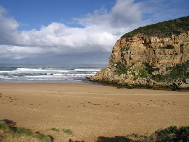
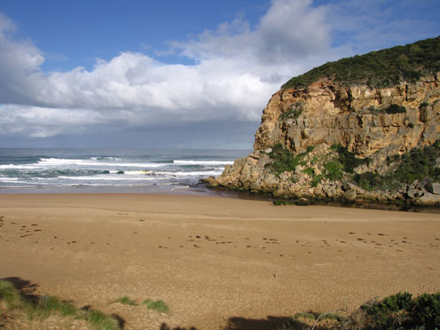
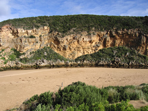
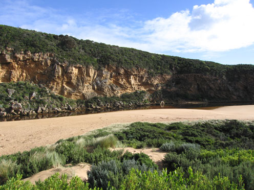
1. Greatly reduced shallow out flow across large sand build up at mouth. Channel flowing only between rocks and cliff.
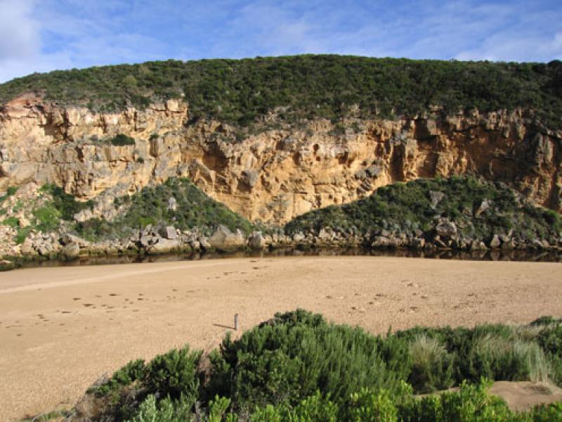
2.Channel has been nearly filled with sand up stream to tunnel - depth only from 30cm - 50 cm.
Deeper water neat tunnel entrance has very large no. of fish 10 -25 cm
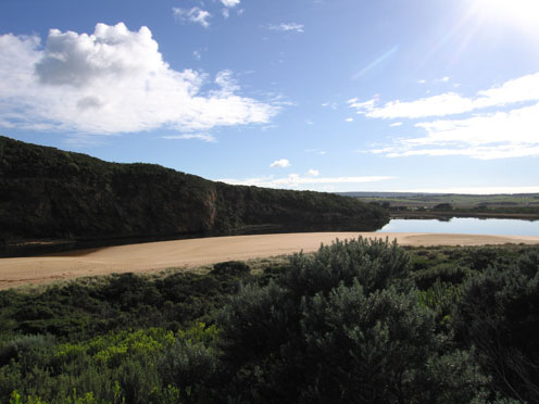
3. Beach wide with gradual slope, hi tide has reached about half way to dunes
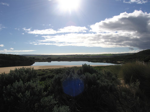
4.Water in estuary very still - scum forming.
A white deposit is on vegetation along the sides of the estuary. More intense on s/e side
5.Large white egret s/e side of estuary
6.More boards off entrance to tunnel
Mouth Observation
| Mouth state | Open |
|---|---|
| Previous | O O O O O O C O O O O O O O O O O O O O O O O O O O O O O O O O O O O O O O O O O O O O O P O O O O O O O O O O O O O O P O O O |
| Flow Present? | Yes |
| Previous | Y Y Y Y Y Y Y Y Y Y Y Y Y Y Y Y Y Y Y Y Y Y Y Y Y Y Y Y Y Y Y Y Y Y Y Y Y Y Y Y Y Y Y Y Y Y Y Y Y Y Y Y Y Y Y Y Y Y Y Y Y Y Y Y |
| Flow Direction | Out |
| Previous | O O O I I O I O O O O O O O O O O O O O O O O O O O O O O O O O O O O O O O O O O O O O O O O O O O O O O I O O I O O I O O O |
| Above Sea | Above Estuary | |
|---|---|---|
| Berm Height (m) | ||
| Berm Length (m) |
Physical Condition
| Current | Mode | |
|---|---|---|
| Wind Direction | South | North-West |
| Beaufort Scale | Light Air | Gentle breeze |
| Sea State | Moderate | Moderate |


All content, files, data and images provided by the EstuaryWatch Data Portal and Gallery are subject to a Creative Commons Attribution License
Content is made available to be used in any way, and should always attribute EstuaryWatch and www.estuarywatch.org.au