EstuaryWatch Data Portal
GMC Gellibrand River Estuary Mouth Observation Site
5 November 2010
Observation details
Overview
| Estuary | Gellibrand River Estuary |
|---|---|
| Site | Gellibrand River Estuary Mouth Observation Site |
| Observation ID | #4647 |
| Date and Time | Friday 5th November 2010 09:55am |
| Approved | Approved |
Notes
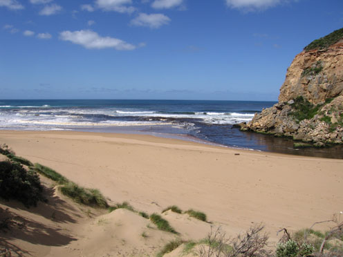
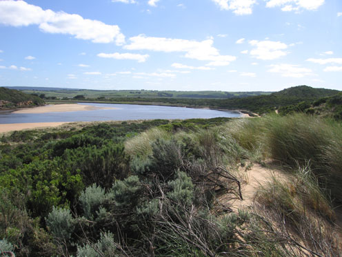
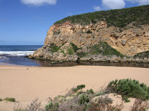
1. Strong dark discharge around mouth and along foreshore, also straight out to sea for a considerable distance
2.Longshore drift bringing more sand back to entrance
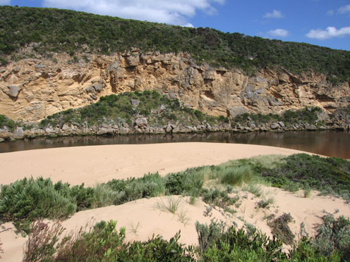
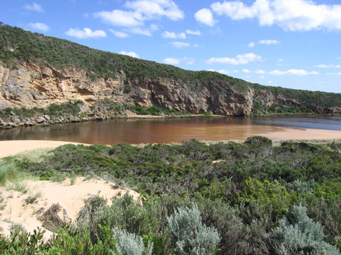
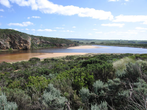
3.Steep side to channel upstream of rocks (1m.) possibly caused by strong flow from recent heavy rain
4. Increase of sand on east side of channel opposite tunnel
5.Seagrass in estuary greatly reduced some areas covered by sand from recent re-configuration of east side
6. Huge increase of Senecio elegans
7.Dark sand and turbidity deposits on ocean beach
8. Hooded plover prints on ocean beach (these were crossed by fox prints)
8.Shearwaters 70 found dead on beach. (Parks reported 74 on Gibsons beach & and fishermen reported many more on beaches between Princetown & Moonlight Head
Mouth Observation
| Mouth state | Open |
|---|---|
| Previous | O O O O O O O O O O O O O O P O O O O O O O O O O O O O O P O O O O O O P O O O O O O O O O O O O O O O O O O O O O O O O |
| Flow Present? | Yes |
| Previous | Y Y Y Y Y Y Y Y Y Y Y Y Y Y Y Y Y Y Y Y Y Y Y Y Y Y Y Y Y Y Y Y Y Y Y Y Y Y Y Y Y Y Y Y Y Y Y Y Y Y Y Y Y Y Y Y Y Y Y Y Y |
| Flow Direction | Out |
| Previous | O O O O O O O O O O O O O O O O O O O O O O O I O O I O O I O O O O I O I O I O O I O O O O O O O O O O O O O O O O O O O |
| Above Sea | Above Estuary | |
|---|---|---|
| Berm Height (m) | ||
| Berm Length (m) |
Physical Condition
| Current | Mode | |
|---|---|---|
| Wind Direction | North-East | |
| Beaufort Scale | Moderate breeze | |
| Sea State | Moderate |


All content, files, data and images provided by the EstuaryWatch Data Portal and Gallery are subject to a Creative Commons Attribution License
Content is made available to be used in any way, and should always attribute EstuaryWatch and www.estuarywatch.org.au