EstuaryWatch Data Portal
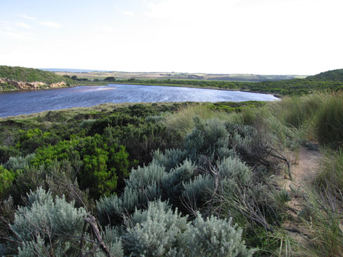
GMC Gellibrand River Estuary Mouth Observation Site
31 December 2010
Observation details
Overview
| Estuary | Gellibrand River Estuary |
|---|---|
| Site | Gellibrand River Estuary Mouth Observation Site |
| Observation ID | #4961 |
| Date and Time | Friday 31st December 2010 08:00am |
| Approved | Approved |
Notes
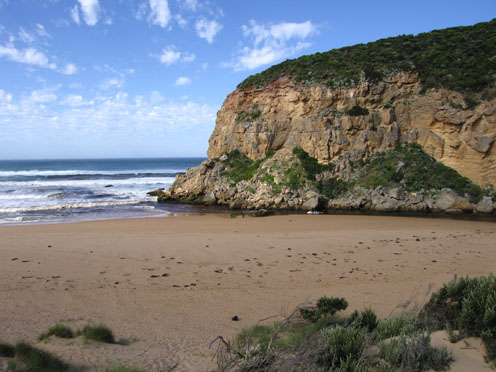
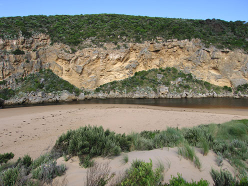
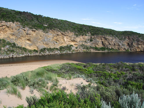
- Channel width greatly reduced.
- Flow from upstream decreasing.
- Water only in channel between rocks and cliff.
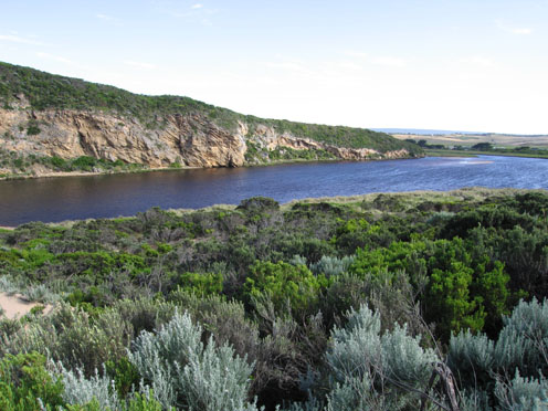
- Higher water level in estuary (water up to dunes).
- Hooded plovers nesting at east end of beach, many human, fox and dog prints in that area.
- Two dead penguins east end of beach plus one estuary perch.
Mouth Observation
| Mouth state | Open |
|---|---|
| Previous | O O O O O O P O O O O O O O O O O O O O O P O O O O O O P O O O O O O O O O O O O O O O O O O O O O O O O O O O O O O O O |
| Flow Present? | Yes |
| Previous | Y Y Y Y Y Y Y Y Y Y Y Y Y Y Y Y Y Y Y Y Y Y Y Y Y Y Y Y Y Y Y Y Y Y Y Y Y Y Y Y Y Y Y Y Y Y Y Y Y Y Y Y Y Y Y Y Y Y Y Y Y |
| Flow Direction | Out |
| Previous | O O O O O O O O O O O O O O O I O O I O O I O O O O I O I O I O O I O O O O O O O O O O O O O O O O O O O O O O O O O O O |
| Above Sea | Above Estuary | |
|---|---|---|
| Berm Height (m) | ||
| Berm Length (m) |
Physical Condition
| Current | Mode | |
|---|---|---|
| Wind Direction | North | |
| Beaufort Scale | High wind, moderate gale, near gale | |
| Sea State | Moderate |


All content, files, data and images provided by the EstuaryWatch Data Portal and Gallery are subject to a Creative Commons Attribution License
Content is made available to be used in any way, and should always attribute EstuaryWatch and www.estuarywatch.org.au