EstuaryWatch Data Portal
GMC Gellibrand River Estuary Mouth Observation Site
15 January 2011
Observation details
Overview
| Estuary | Gellibrand River Estuary |
|---|---|
| Site | Gellibrand River Estuary Mouth Observation Site |
| Observation ID | #4986 |
| Date and Time | Saturday 15th January 2011 12:47pm |
| Approved | Approved |
Notes
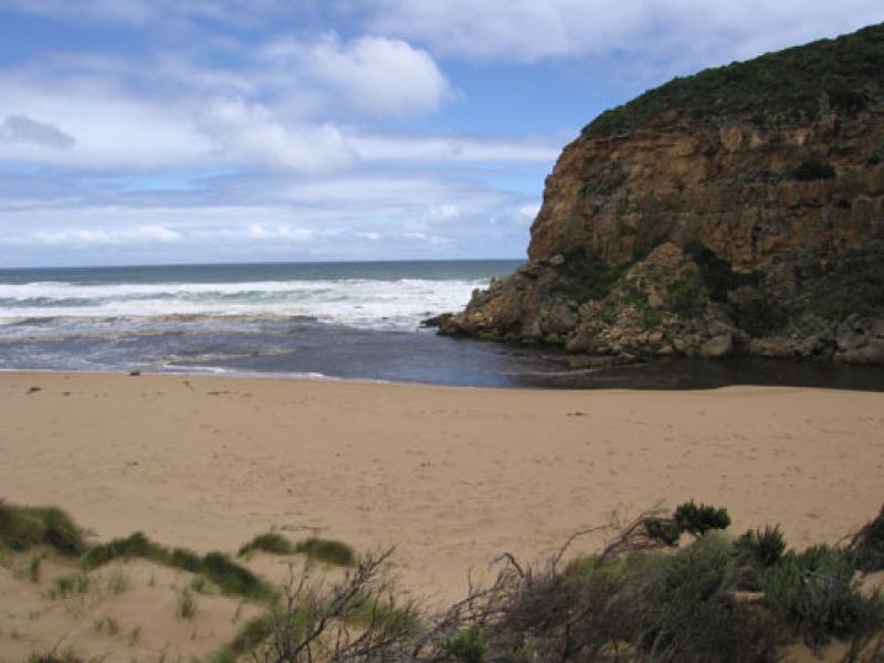
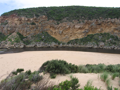
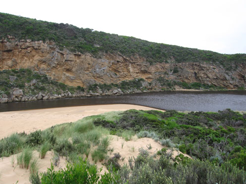
1. mouth increased in width & flow, Waves entering estuary
2.Ocean beach - high slope to water, large areas covered with brown foam & silt. Foam up to 70cm high
3.Some logs from the estuary are now on ocean beach
4.Considerable longshore drift travelling back to mouth
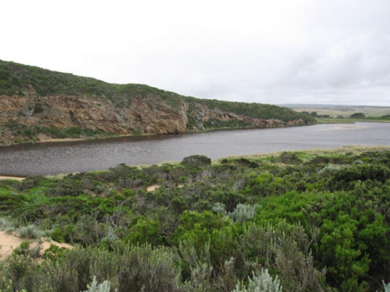
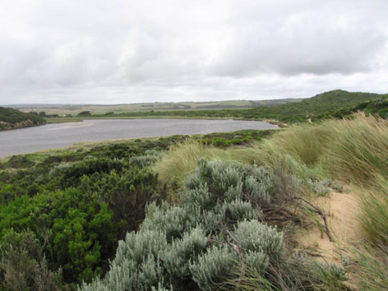
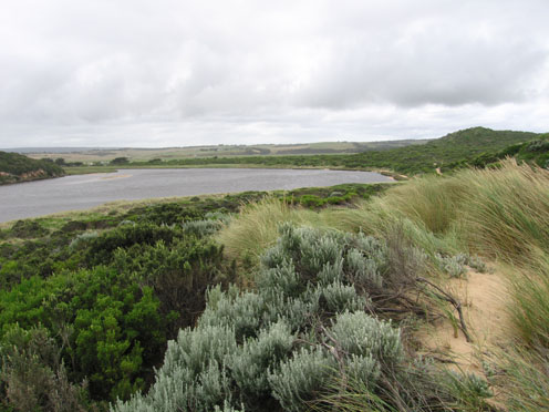
5. Flood levels still increasing at G6
6.Increase of water birds & large no. of Ravens all along the river
7. Water just over bearer at G4, Rivernook flooded and water covering flats downstream . No water over O.O.R.
Mouth Observation
| Mouth state | Open |
|---|---|
| Previous | O O O P O O O O O O O O O O O O O O P O O O O O O P O O O O O O O O O O O O O O O O O O O O O O O O O O O O O O O O O O O |
| Flow Present? | Yes |
| Previous | Y Y Y Y Y Y Y Y Y Y Y Y Y Y Y Y Y Y Y Y Y Y Y Y Y Y Y Y Y Y Y Y Y Y Y Y Y Y Y Y Y Y Y Y Y Y Y Y Y Y Y Y Y Y Y Y Y Y Y Y Y |
| Flow Direction | Out |
| Previous | O O O O O O O O O O O O I O O I O O I O O O O I O I O I O O I O O O O O O O O O O O O O O O O O O O O O O O O O O O O O O |
| Above Sea | Above Estuary | |
|---|---|---|
| Berm Height (m) | ||
| Berm Length (m) |
Physical Condition
| Current | Mode | |
|---|---|---|
| Wind Direction | South | |
| Beaufort Scale | High wind, moderate gale, near gale | |
| Sea State | Moderate |


All content, files, data and images provided by the EstuaryWatch Data Portal and Gallery are subject to a Creative Commons Attribution License
Content is made available to be used in any way, and should always attribute EstuaryWatch and www.estuarywatch.org.au