EstuaryWatch Data Portal
GMC Gellibrand River Estuary Mouth Observation Site
11 February 2011
Observation details
Overview
| Estuary | Gellibrand River Estuary |
|---|---|
| Site | Gellibrand River Estuary Mouth Observation Site |
| Observation ID | #5123 |
| Date and Time | Friday 11th February 2011 08:35am |
| Approved | Approved |
Notes
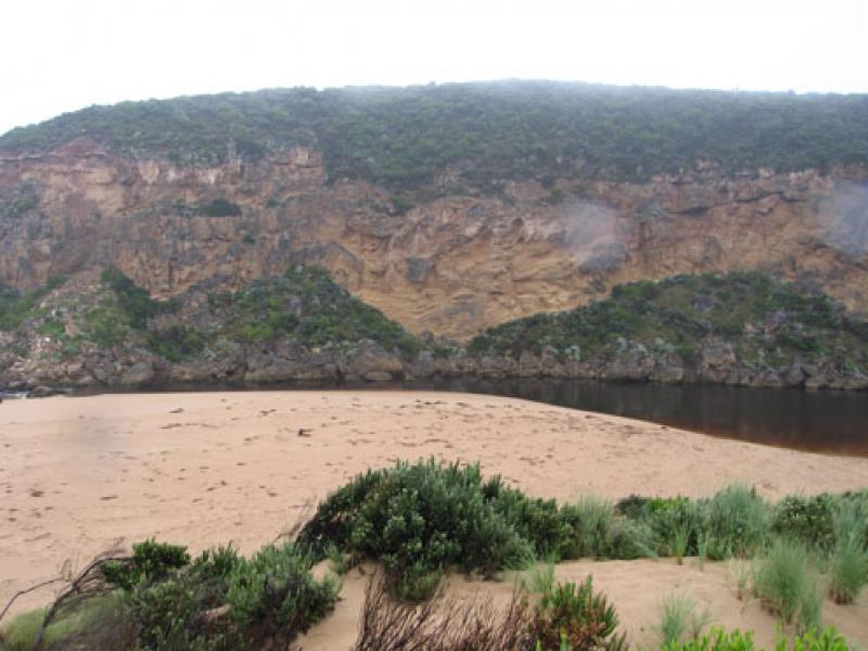
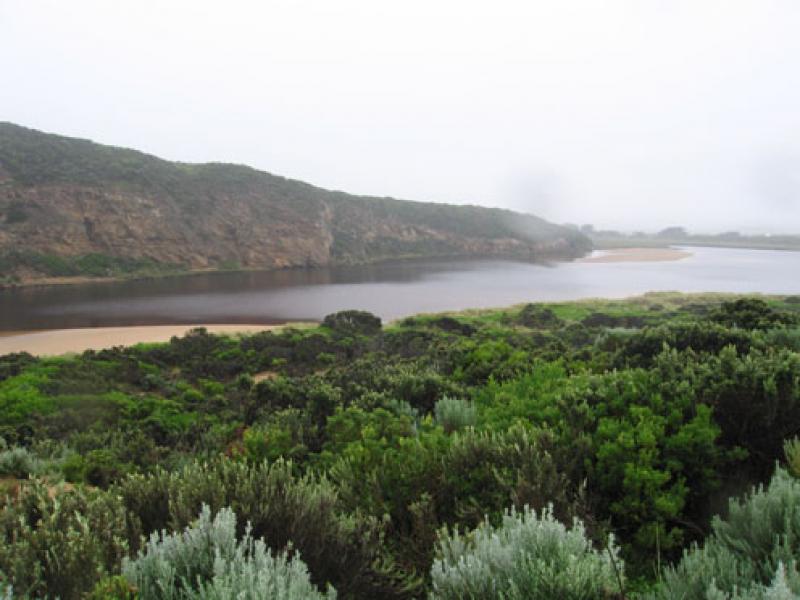
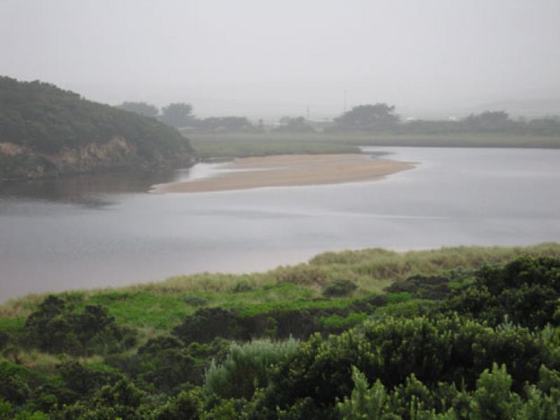
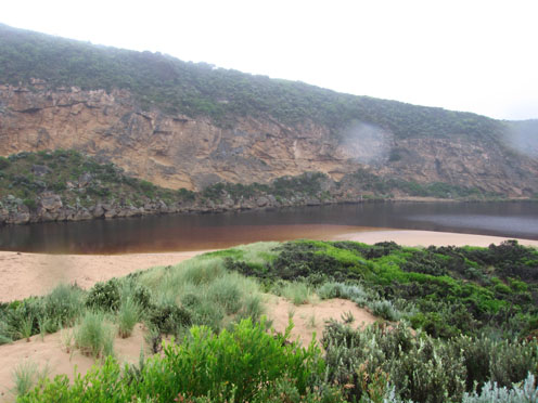
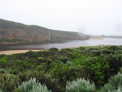
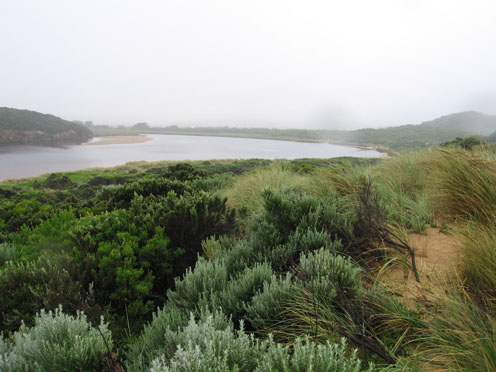
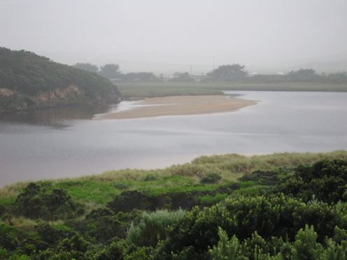
1. Reduced outflow, discharge around mouth
2.Large area of sand exposed at mouth (low tide)
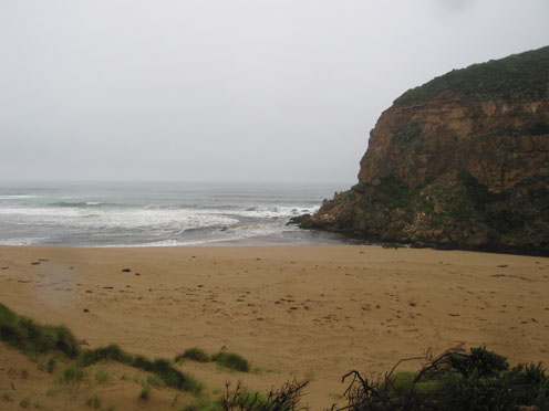
3.Channel flowing only between rocks and cliff, small 'whirlpool' carved out behind rocks (upstream)
4. Ocean beach shaped into 2 'bays', long gradual slope to water
5. logs (5) from ocean beach have been returned to east side of estuary and retained behind reeds
Mouth Observation
| Mouth state | Open |
|---|---|
| Previous | O O O O O O O O O O O O O P O O O O O O P O O O O O O O O O O O O O O O O O O O O O O O O O O O O O O O O O O O O O O O O O |
| Flow Present? | Yes |
| Previous | Y Y Y Y Y Y Y Y Y Y Y Y Y Y Y Y Y Y Y Y Y Y Y Y Y Y Y Y Y Y Y Y Y Y Y Y Y Y Y Y Y Y Y Y Y Y Y Y Y Y Y Y Y Y Y Y Y Y Y Y Y Y |
| Flow Direction | Out |
| Previous | O O O O O O O I O O I O O I O O O O I O I O I O O I O O O O O O O O O O O O O O O O O O O O O O O O O O O O O O O O O O O O |
| Above Sea | Above Estuary | |
|---|---|---|
| Berm Height (m) | ||
| Berm Length (m) |
Physical Condition
| Current | Mode | |
|---|---|---|
| Wind Direction | South | |
| Beaufort Scale | Gentle breeze | |
| Sea State | Slight |


All content, files, data and images provided by the EstuaryWatch Data Portal and Gallery are subject to a Creative Commons Attribution License
Content is made available to be used in any way, and should always attribute EstuaryWatch and www.estuarywatch.org.au