Observation details

Overview

Estuary Wild Dog Creek Estuary
Site Wild Dog Observation Site
Observation ID #5962
Date and Time Saturday 16th July 2011 13:30pm
Approved Approved

Notes

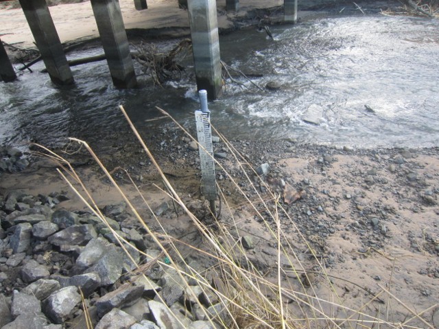
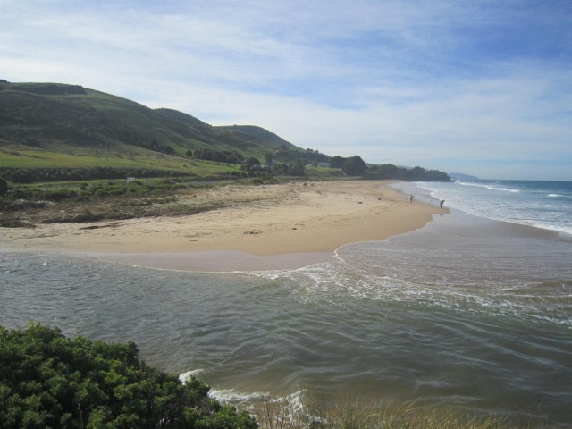
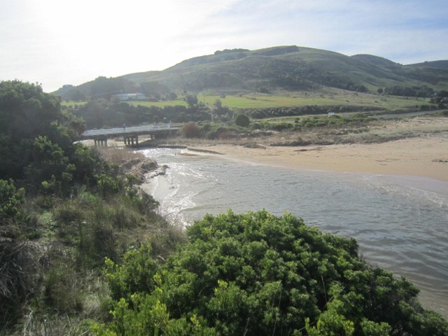
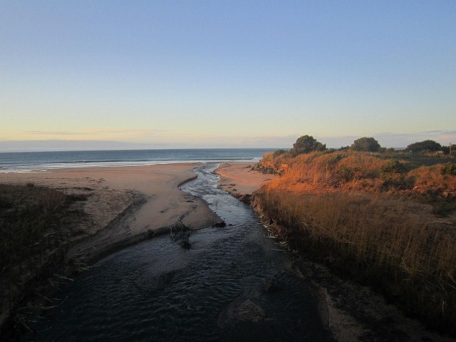
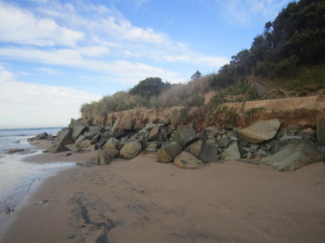
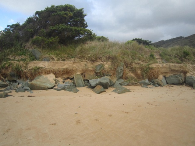
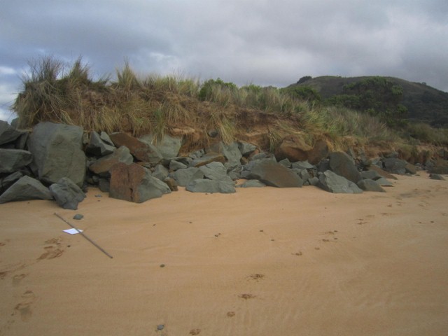
On weekend of 9/10 July high wind at high tide caused major erosion of the beach especially the western groin. Afterwards the beach was completel flat and the river flowed straight out to sea. The river level was very high but by 16th the level is about 0.5 metres below the bottom scale on the AHD post

Mouth Observation

Mouth state Open
Previous O O O O O O O
Flow Present? Yes
Previous Y Y Y Y Y Y Y
Flow Direction Out
Previous O O O O O O O
Above Sea Above Estuary
Berm Height (m)
Berm Length (m)

Physical Condition

Current Mode
Wind Direction East
Beaufort Scale Gentle breeze
Sea State Moderate

Water Levels and Tides

Water Level Start Finish
Height (m) -0.50m
Time (hh:mm) 13:30
Tidal influence Yes
Tidal Range Time Height
High 13:28 1.580
Low 18:42 0.790

Observation Documents

Link Date File name Description

Download
16-07-2011 13:30 Other AHD guage

Download
16-07-2011 13:30 Photopoint PP1

Download
16-07-2011 13:30 Photopoint PP2

Download
16-07-2011 13:30 Photopoint PP3

Download
16-07-2011 13:30 Other Wall damage

Download
16-07-2011 13:30 Other Wall damage

Download
16-07-2011 13:30 Other Wall damage
AHD guage
PP1
PP2
PP3
Wall damage
Wall damage
Wall damage
Creative Commons CC BY
All content, files, data and images provided by the EstuaryWatch Data Portal and Gallery are subject to a Creative Commons Attribution License

Content is made available to be used in any way, and should always attribute EstuaryWatch and www.estuarywatch.org.au