EstuaryWatch Data Portal
GMC Gellibrand River Estuary Mouth Observation Site
3 September 2011
Observation details
Overview
| Estuary | Gellibrand River Estuary |
|---|---|
| Site | Gellibrand River Estuary Mouth Observation Site |
| Observation ID | #6041 |
| Date and Time | Saturday 3rd September 2011 07:50am |
| Approved | Approved |
Notes
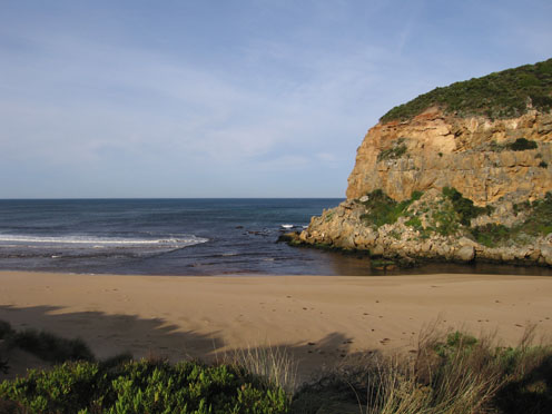
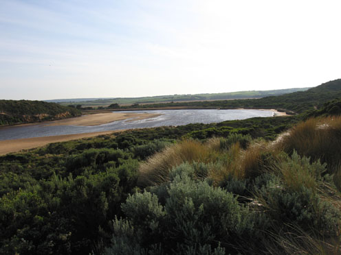
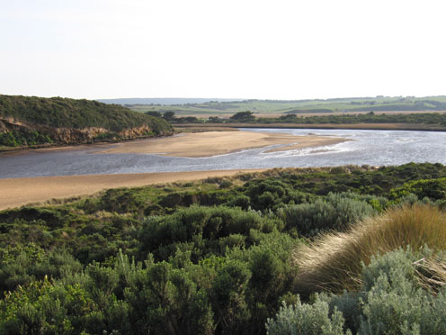
1.Weaker out flow, dark discharge out around mouth, out to sea & toward east end of beach
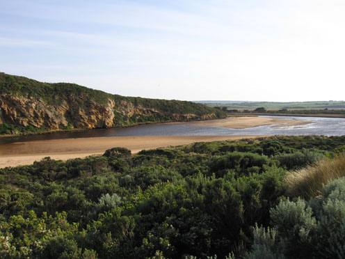
2..Mouth smaller but water flowing on both sides of rocks
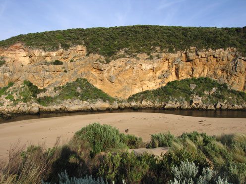
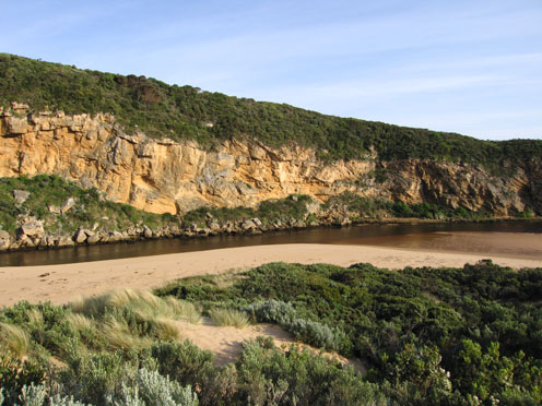
3.Beach wide with gradual slope, rocks at both ends exposed (Low tide)
4.More erosion to south & east sides of estuary from last weeks rough seas. (More logs close to car park)
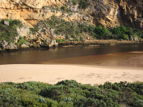
5. Large area of sand exposed opposite of tunnel & sandbar
6.Channel between rocks & tunnel -east bank up to 1.5m. above water in some areas (very steep sides)
7. Dead Rail on track to car park (run over)
Mouth Observation
| Mouth state | Open |
|---|---|
| Previous | O O O O O O O O O O O O O O O O O O O O O O O O O O O O O O O O O O O O O O O O O O O O O O O O O O O O O O O O |
| Flow Present? | Yes |
| Previous | Y Y Y Y Y Y Y Y Y Y Y Y Y Y Y Y Y Y Y Y Y Y Y Y Y Y Y Y Y Y Y Y Y Y Y Y Y Y Y Y Y Y Y Y Y Y Y Y Y Y Y Y Y Y Y Y |
| Flow Direction | Out |
| Previous | O O O O O O O O O O O O O O O O O O O O O O O O O O O O O O O O O O O O O O I O I O I O I O O O O O O O O O O |
| Above Sea | Above Estuary | |
|---|---|---|
| Berm Height (m) | ||
| Berm Length (m) |
Physical Condition
| Current | Mode | |
|---|---|---|
| Wind Direction | North-East | |
| Beaufort Scale | Fresh breeze | |
| Sea State | Slight |


All content, files, data and images provided by the EstuaryWatch Data Portal and Gallery are subject to a Creative Commons Attribution License
Content is made available to be used in any way, and should always attribute EstuaryWatch and www.estuarywatch.org.au