EstuaryWatch Data Portal
GMC Gellibrand River Estuary Mouth Observation Site
21 October 2011
Observation details
Overview
| Estuary | Gellibrand River Estuary |
|---|---|
| Site | Gellibrand River Estuary Mouth Observation Site |
| Observation ID | #6241 |
| Date and Time | Friday 21st October 2011 08:20am |
| Approved | Approved |
Notes
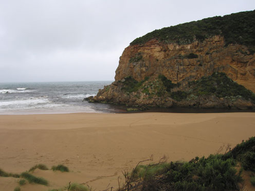
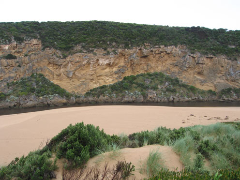
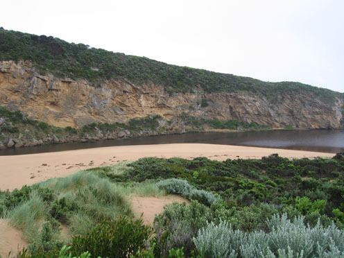
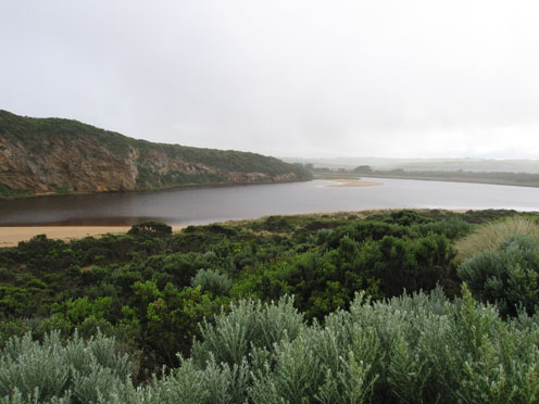
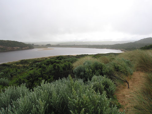
1.reduced outflow, sand building up around mouth & rocks, greatly reduced on east side of rocks -main flow close to cliff
2.Width of channel 5-6m at narrowest point upstream of rocks
3.Sea has been up to base of dunes at last hi tide
4. Continuing damage to south & east side of estuary. More saw logs from ocean beach in estuary
5.Flow from upstream reducing
Birds
Large black comorants 4- (mob of about 50 sighted during week),w/h herons 4, white egrets 2,
There has been large increase of White necked herons, White headed herons, White egrets, Spoon bills & comorants especially around G5
Mouth Observation
| Mouth state | Open |
|---|---|
| Previous | O O O O O O O O O O O O O O O O O O O O O O O O O O O O O O O O O O O O O O O O O O O O O O O O O O O O O O O O |
| Flow Present? | Yes |
| Previous | Y Y Y Y Y Y Y Y Y Y Y Y Y Y Y Y Y Y Y Y Y Y Y Y Y Y Y Y Y Y Y Y Y Y Y Y Y Y Y Y Y Y Y Y Y Y Y Y Y Y Y Y Y Y Y Y |
| Flow Direction | Out |
| Previous | O O O O O O O O O O O O O O O O O O O O O O O O O O O O O O O I O I O I O I O O O O O O O O O O O O O O O O O |
| Above Sea | Above Estuary | |
|---|---|---|
| Berm Height (m) | ||
| Berm Length (m) |
Physical Condition
| Current | Mode | |
|---|---|---|
| Wind Direction | South | |
| Beaufort Scale | Fresh breeze | |
| Sea State | Moderate |


All content, files, data and images provided by the EstuaryWatch Data Portal and Gallery are subject to a Creative Commons Attribution License
Content is made available to be used in any way, and should always attribute EstuaryWatch and www.estuarywatch.org.au