Observation details

Overview

Estuary Wild Dog Creek Estuary
Site Wild Dog Observation Site
Observation ID #6345
Date and Time Friday 21st October 2011 16:00pm
Approved Approved

Notes

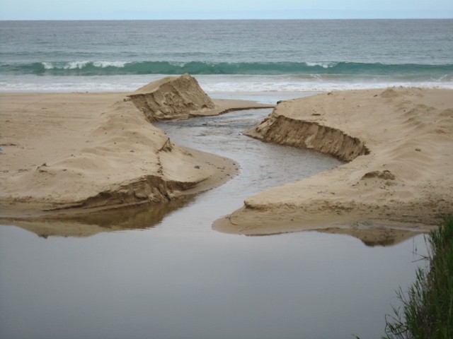
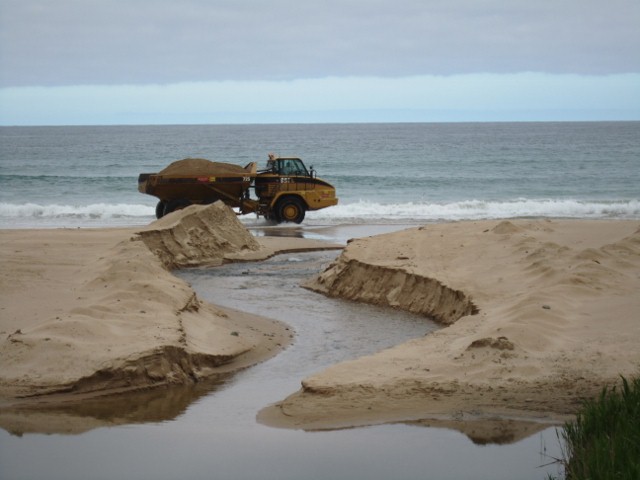
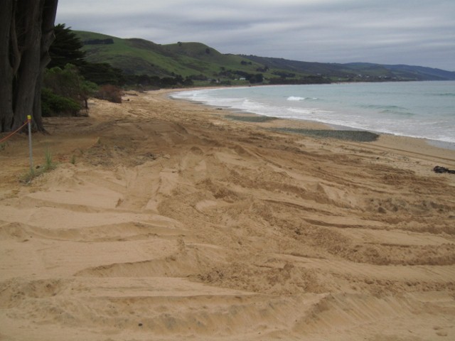
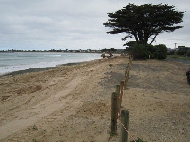
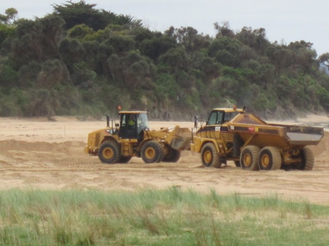
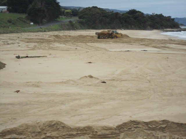
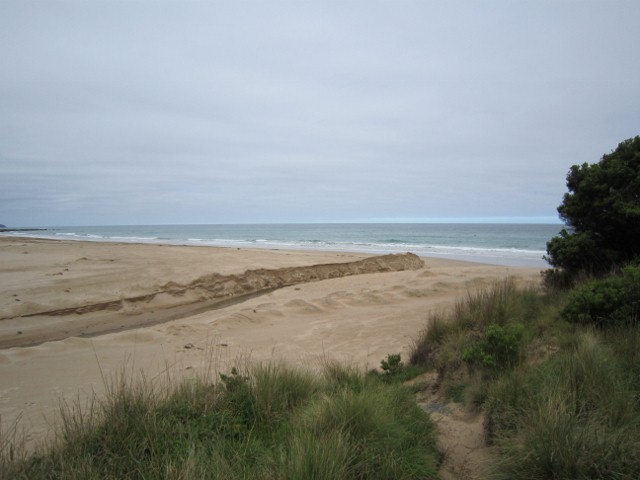
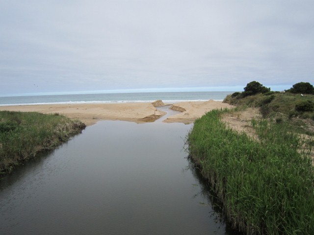
On 17/10/11 Contractors cut a channel straight out to sea and for 5 days moved sand from the middle of the Wild Dog beach to the town beach near end of Marriners Rd finishing on 21/10/11. The depth of the channel was 1m near shore and 1.6 near sea.

Mouth Observation

Mouth state Open
Previous O O O O O O O
Flow Present? Yes
Previous Y Y Y Y Y Y Y
Flow Direction Out
Previous O O O O O O O
Above Sea Above Estuary
Berm Height (m)
Berm Length (m)

Physical Condition

Current Mode
Wind Direction South
Beaufort Scale Light Breeze
Sea State Moderate

Water Levels and Tides

Water Level Start Finish
Height (m) 0.95m
Time (hh:mm) 15:00
Tidal influence Yes
Tidal Range Time Height
High 18:00 1.270
Low 11:40 0.600

Observation Documents

Link Date File name Description

Download
21-10-2011 16:00 Other Channel out to sea

Download
21-10-2011 16:00 Other Lorry passing cutting

Download
21-10-2011 16:00 Other Sand dumped at Marriner's Rd

Download
21-10-2011 16:00 Other Sand dumped at Marriner's Rd

Download
21-10-2011 16:00 Other Taking sand from beach

Download
21-10-2011 16:00 Other Taking sand from beach

Download
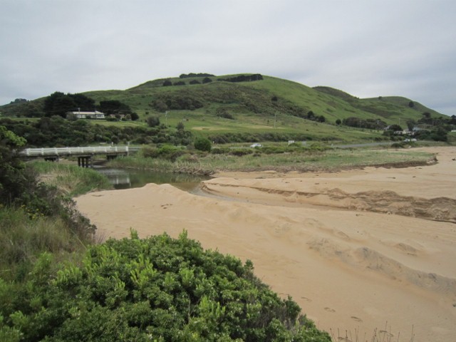
21-10-2011 16:00 Photopoint Wp1

Download
21-10-2011 16:00 Photopoint Wp2

Download
21-10-2011 16:00 Photopoint Wp4
Channel out to sea
Lorry passing cutting
Sand dumped at Marriner's Rd
Taking sand from beach
Wp1
Wp2
Wp4
Creative Commons CC BY
All content, files, data and images provided by the EstuaryWatch Data Portal and Gallery are subject to a Creative Commons Attribution License

Content is made available to be used in any way, and should always attribute EstuaryWatch and www.estuarywatch.org.au