EstuaryWatch Data Portal
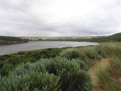
GMC Gellibrand River Estuary Mouth Observation Site
13 January 2012
Observation details
Overview
| Estuary | Gellibrand River Estuary |
|---|---|
| Site | Gellibrand River Estuary Mouth Observation Site |
| Observation ID | #6566 |
| Date and Time | Friday 13th January 2012 07:35am |
| Approved | Approved |
Notes
1. AHD at G6 1.41 at 07:17
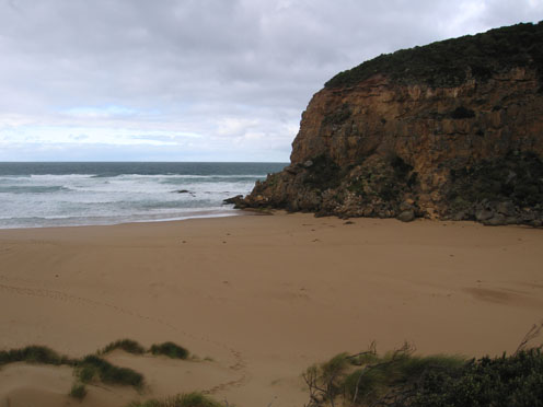
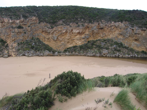
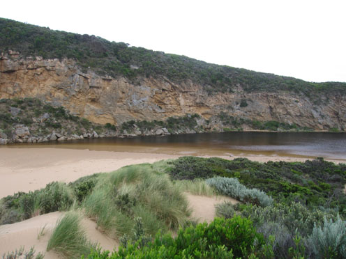
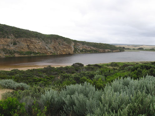
2. Mouth closed on 12/01/12 .
3.Waves have been over at last hi tide, width of berm at present about 40m. River about 1m higher than sea level. Signs of waves entering channel up to 60m
4.Rocks just showing above sand.
5.Bouy barnicles 100's of them all along beach & some in river
6.Sand mid beach has been reduced by wave action
7.Small rock fall near rocka
8. Dead Albatross east end of beach
Mouth Observation
| Mouth state | Closed |
|---|---|
| Previous | O O O O O O O O O O O O O O O O O O O O O O O O O O O O O O O O O O O O O O O O O O O O O O O O O O O O O O O O |
| Flow Present? | No |
| Previous | Y Y Y Y Y Y Y Y Y Y Y Y Y Y Y Y Y Y Y Y Y Y Y Y Y Y Y Y Y Y Y Y Y Y Y Y Y Y Y Y Y Y Y Y Y Y Y Y Y Y Y Y Y Y Y Y |
| Flow Direction | N/A |
| Previous | O O O O O O O O O O O O O O O O O O O I O I O I O I O O O O O O O O O O O O O O O O O O O O O O O O O O O O |
| Above Sea | Above Estuary | |
|---|---|---|
| Berm Height (m) | ||
| Berm Length (m) |
Physical Condition
| Current | Mode | |
|---|---|---|
| Wind Direction | South | |
| Beaufort Scale | Fresh breeze | |
| Sea State | Moderate |


All content, files, data and images provided by the EstuaryWatch Data Portal and Gallery are subject to a Creative Commons Attribution License
Content is made available to be used in any way, and should always attribute EstuaryWatch and www.estuarywatch.org.au