EstuaryWatch Data Portal
GMC Gellibrand River Estuary Mouth Observation Site
20 April 2012
Observation details
Overview
| Estuary | Gellibrand River Estuary |
|---|---|
| Site | Gellibrand River Estuary Mouth Observation Site |
| Observation ID | #7082 |
| Date and Time | Friday 20th April 2012 08:50am |
| Approved | Approved |
Notes
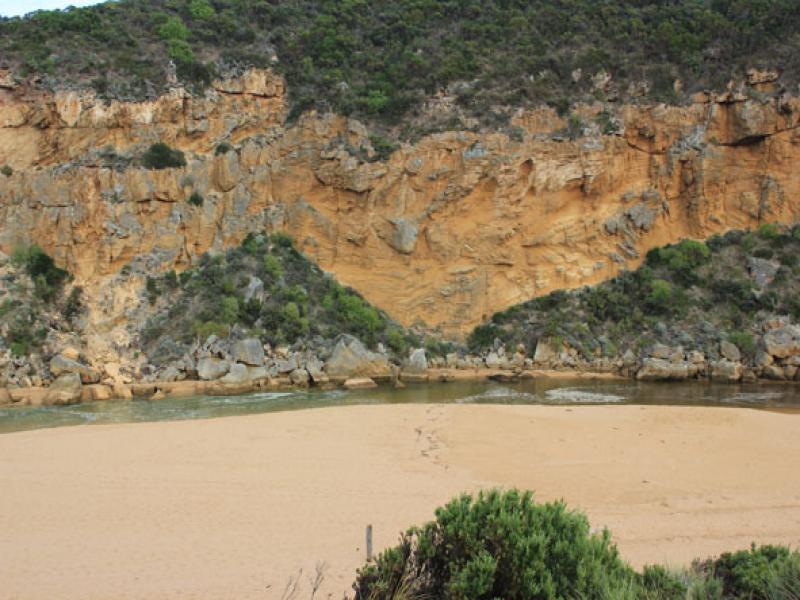
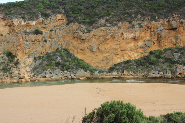
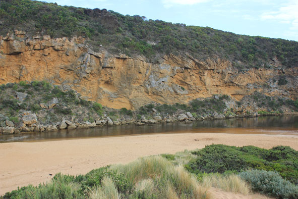
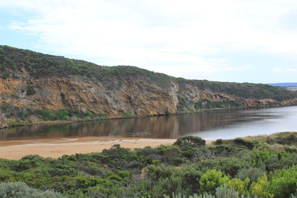
1.Artificial opening 13/04/12
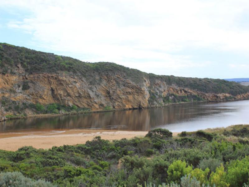
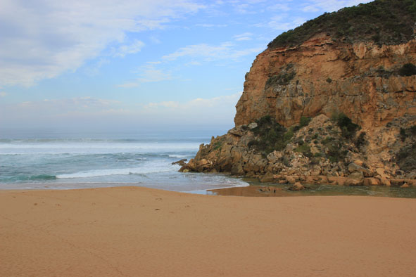
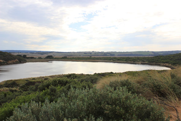
2.Mouth open -salt/waves entering channel & estuary. (water about 20m across mouth at times) Some salt return along a narrow 4-5m wide/shallow channel against rocks
3.Salt water visiable in channel -up to half way between mouth & tunnel
4.Sheer sided bank to channel reaching 1.50m at mouth (from artificial opening)
5.Sea rough -waves hi up on beach & in all directions at mouth -longshore drift bringing back more sand.
6.Beach gradual slope but rises much higher near mouth
4
Mouth Observation
| Mouth state | Open |
|---|---|
| Previous | O O O O O O O O O O O O O O O O O O O O O O O O O O O O O O O O O O O O O O O C O O O C O O O O O P P P C |
| Flow Present? | Yes |
| Previous | Y Y Y Y Y Y Y Y Y Y Y Y Y Y Y Y Y Y Y Y Y Y Y Y Y Y Y Y Y Y Y Y Y Y Y Y Y Y Y N Y Y Y N Y Y Y Y Y Y N N N |
| Flow Direction | In |
| Previous | O O I O I O I O I O O O O O O O O O O O O O O O O O O O O O O O O O O O O N O O O N O O O O O I N N N |
| Above Sea | Above Estuary | |
|---|---|---|
| Berm Height (m) | ||
| Berm Length (m) |
Physical Condition
| Current | Mode | |
|---|---|---|
| Wind Direction | East | |
| Beaufort Scale | Light Air | |
| Sea State | Rough |


All content, files, data and images provided by the EstuaryWatch Data Portal and Gallery are subject to a Creative Commons Attribution License
Content is made available to be used in any way, and should always attribute EstuaryWatch and www.estuarywatch.org.au