EstuaryWatch Data Portal
GMC Gellibrand River Estuary Mouth Observation Site
6 March 2013
Observation details
Overview
| Estuary | Gellibrand River Estuary |
|---|---|
| Site | Gellibrand River Estuary Mouth Observation Site |
| Observation ID | #8143 |
| Date and Time | Wednesday 6th March 2013 10:50am |
| Approved | Approved |
Notes
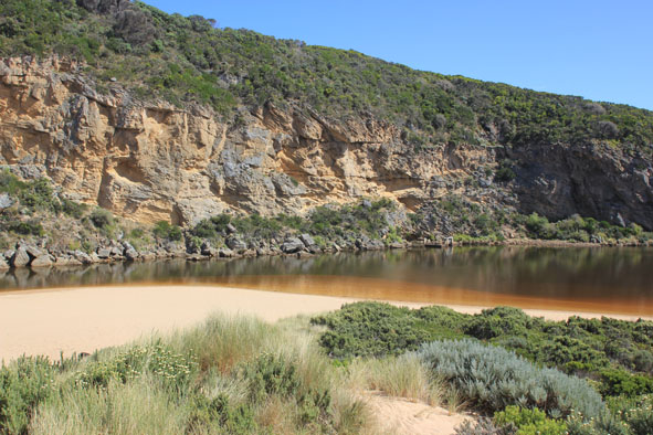
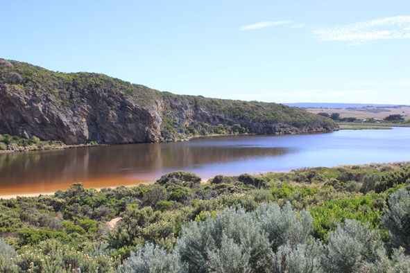
- Dead fish now under water, very few on sand.
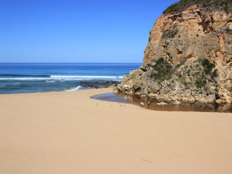
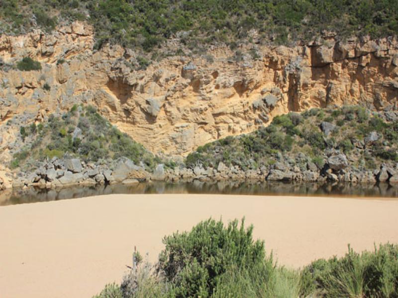
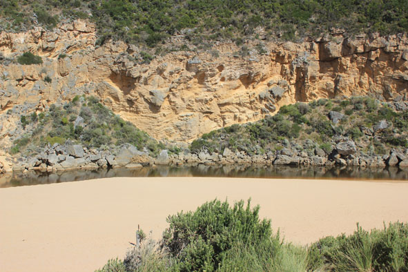
- Mouth of the estuary is barred again.
- Berm length from estuary to the top of the berm has decreased since 4.03.2013
- Beach wide and sloping.
- Waves have come over berm .
- Sand still visible about 20-30m out (near estuary mouth), in area where longshore drift cuts across S/W waves.
- 46cm dead and decomposing water rat east of channel near tunnel.
- About 50 + coots feeding along cliff base, west side of estuary. Nearly all other birds have gone.
- Sandy beach , south side of estuary covered by water.
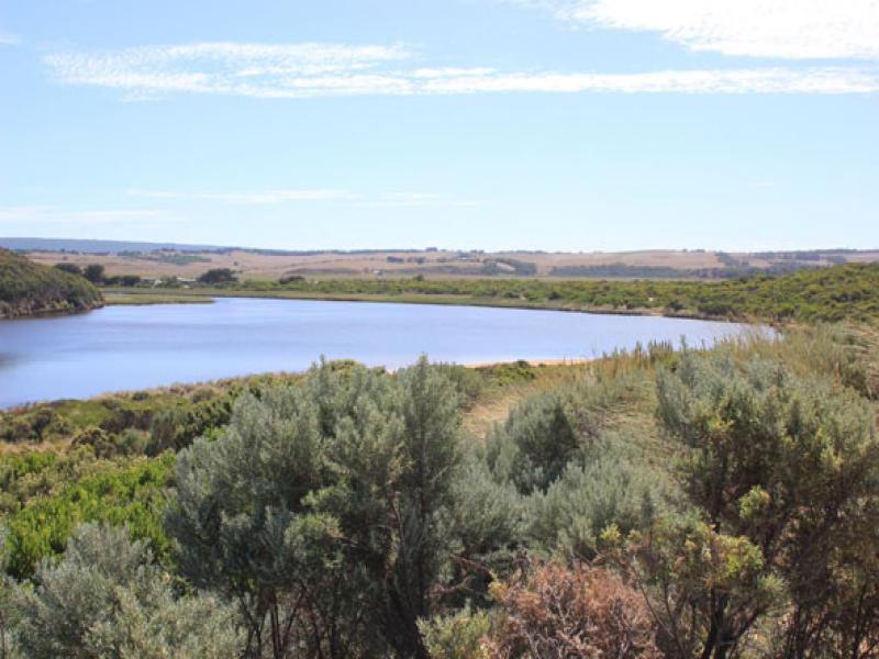
- Large area of lower track under water.
- Many 1-3cm fish in deep areas.
Mouth Observation
| Mouth state | Closed |
|---|---|
| Previous | O O P P P C O P O O O P O O O O O O O O O O O O O O O O O O O O O O O O O O O O O O C C C C C C C C C C C O O O O O O C |
| Flow Present? | No |
| Previous | Y Y Y N N N Y N Y Y Y Y Y Y Y Y Y Y Y Y Y Y Y Y Y Y Y Y Y Y Y Y Y Y Y Y Y Y Y Y Y Y N N N N N N N N Y N N Y Y Y Y Y Y N |
| Flow Direction | N/A |
| Previous | O O I N N N I N I I O I O O O O O O O O O O O O O O O O O O O O O O O O O O O O O O N N N N N N N N N N O O I O O N |
| Above Sea | Above Estuary | |
|---|---|---|
| Berm Height (m) | 1.0m | 0.5m |
| Berm Length (m) |
Physical Condition
| Current | Mode | |
|---|---|---|
| Wind Direction | North-West | |
| Beaufort Scale | Light Air | |
| Sea State | Slight |


All content, files, data and images provided by the EstuaryWatch Data Portal and Gallery are subject to a Creative Commons Attribution License
Content is made available to be used in any way, and should always attribute EstuaryWatch and www.estuarywatch.org.au