EstuaryWatch Data Portal
GMC Gellibrand River Estuary Mouth Observation Site
11 March 2013
Observation details
Overview
| Estuary | Gellibrand River Estuary |
|---|---|
| Site | Gellibrand River Estuary Mouth Observation Site |
| Observation ID | #8147 |
| Date and Time | Monday 11th March 2013 10:35am |
| Approved | Approved |
Notes
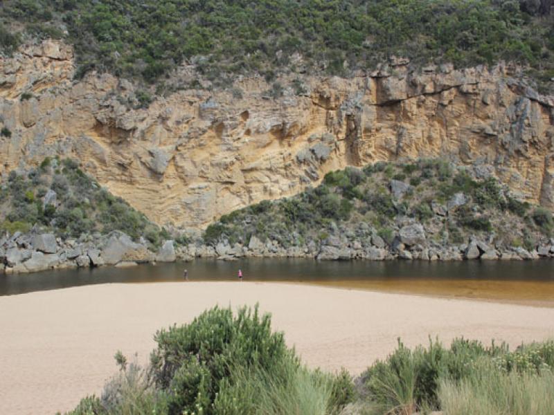
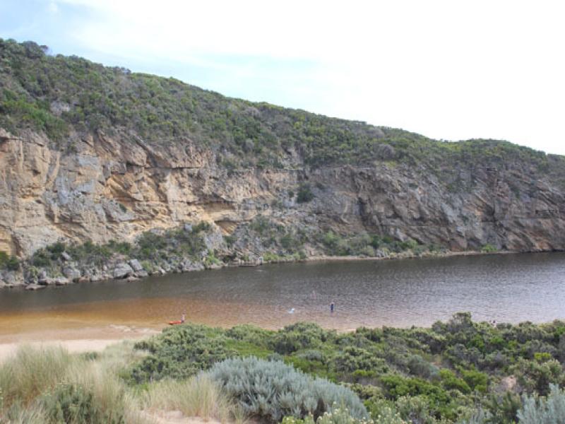
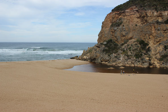
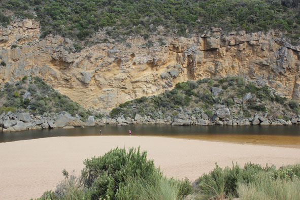
- Waves continuous along beach, intermittently washing over the top of the berm.
- Berm is lower near the cliffs.
- Longshore drift still crossing S/W swell about 30m out to sea.
- Water over track to fishing area south of camping ground. OCR only damp.
- no water over any other areas.
- huge number of people, no birds.
- no vsible sign of dead fish.
Mouth Observation
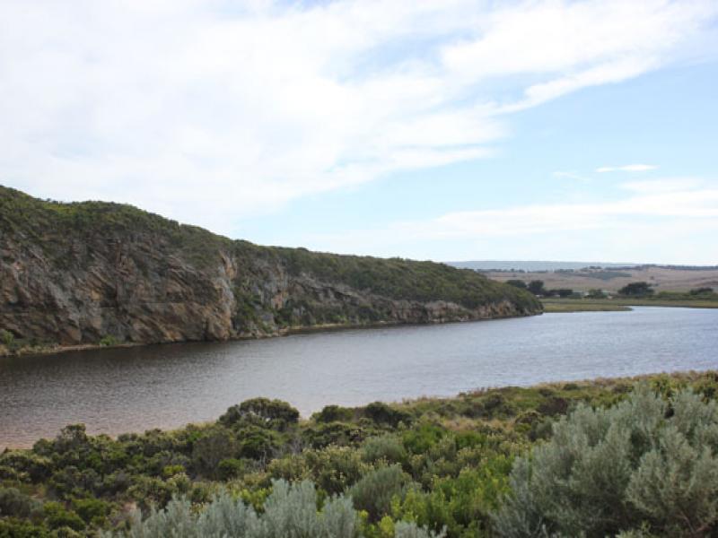
| Mouth state | Closed |
|---|---|
| Previous | O P P P C O P O O O P O O O O O O O O O O O O O O O O O O O O O O O O O O O O O O C C C C C C C C C C C O O O O O O C C C |
| Flow Present? | No |
| Previous | Y Y N N N Y N Y Y Y Y Y Y Y Y Y Y Y Y Y Y Y Y Y Y Y Y Y Y Y Y Y Y Y Y Y Y Y Y Y Y N N N N N N N N Y N N Y Y Y Y Y Y N N N |
| Flow Direction | N/A |
| Previous | O I N N N I N I I O I O O O O O O O O O O O O O O O O O O O O O O O O O O O O O O N N N N N N N N N N O O I O O N N N |
| Above Sea | Above Estuary | |
|---|---|---|
| Berm Height (m) | 0.6m | 0.6m |
| Berm Length (m) |
Physical Condition
| Current | Mode | |
|---|---|---|
| Wind Direction | North-East | |
| Beaufort Scale | Gentle breeze | |
| Sea State | Moderate |


All content, files, data and images provided by the EstuaryWatch Data Portal and Gallery are subject to a Creative Commons Attribution License
Content is made available to be used in any way, and should always attribute EstuaryWatch and www.estuarywatch.org.au