EstuaryWatch Data Portal
GMC Gellibrand River Estuary Mouth Observation Site
23 March 2013
Observation details
Overview
| Estuary | Gellibrand River Estuary |
|---|---|
| Site | Gellibrand River Estuary Mouth Observation Site |
| Observation ID | #8191 |
| Date and Time | Saturday 23rd March 2013 10:15am |
| Approved | Approved |
Notes
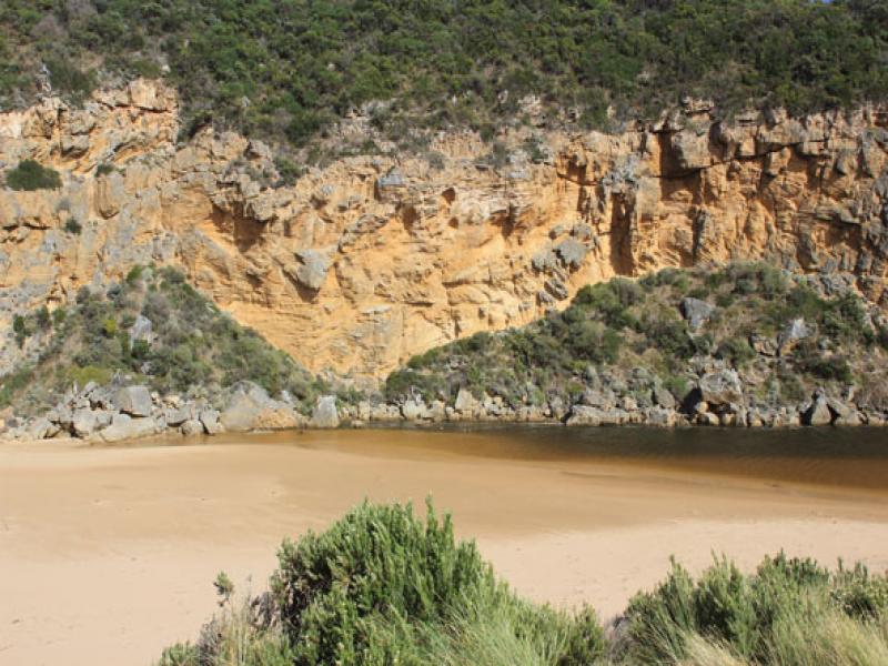
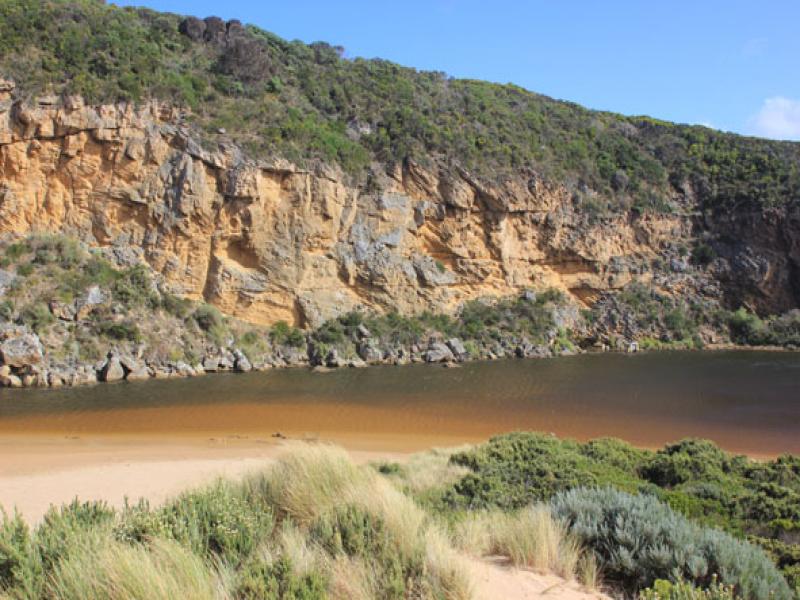
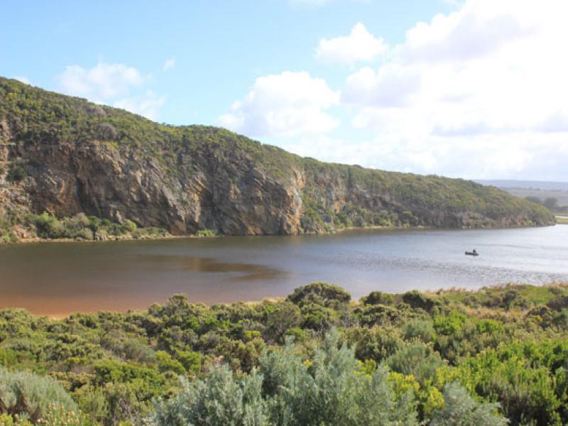
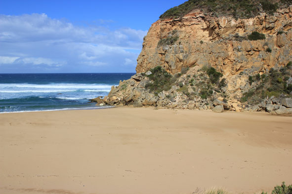
- Mouth closed but waves entering at hi tide acros a wide area
- Estuary has more sand across front but a narrow 'amr' extends closer to sea at base of cliff
- Beach - horseshoe shaped with higher sand east of entrance. Area closest to cliff is lower
- Long shore drift out to sea not as active
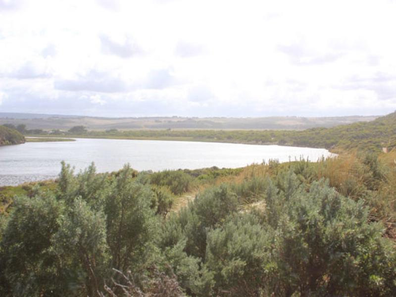
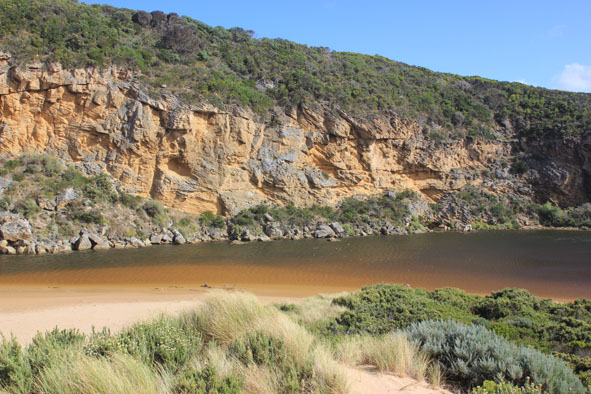
- Water in large depression (OCR)south of camp. ground & over low track but not visiable on any other roads
Mouth Observation
| Mouth state | Closed |
|---|---|
| Previous | P P P C O P O O O P O O O O O O O O O O O O O O O O O O O O O O O O O O O O O O C C C C C C C C C C C O O O O O O C C C C O C |
| Flow Present? | No |
| Previous | Y N N N Y N Y Y Y Y Y Y Y Y Y Y Y Y Y Y Y Y Y Y Y Y Y Y Y Y Y Y Y Y Y Y Y Y Y Y N N N N N N N N Y N N Y Y Y Y Y Y N N N N Y N |
| Flow Direction | N/A |
| Previous | I N N N I N I I O I O O O O O O O O O O O O O O O O O O O O O O O O O O O O O O N N N N N N N N N N O O I O O N N N N I N |
| Above Sea | Above Estuary | |
|---|---|---|
| Berm Height (m) | 0.5m | 0.4m |
| Berm Length (m) |
Physical Condition
| Current | Mode | |
|---|---|---|
| Wind Direction | North | |
| Beaufort Scale | Moderate breeze | |
| Sea State | Rough |


All content, files, data and images provided by the EstuaryWatch Data Portal and Gallery are subject to a Creative Commons Attribution License
Content is made available to be used in any way, and should always attribute EstuaryWatch and www.estuarywatch.org.au