EstuaryWatch Data Portal
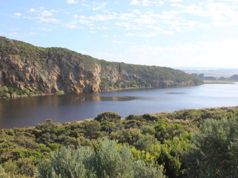
GMC Gellibrand River Estuary Mouth Observation Site
7 April 2013
Observation details
Overview
| Estuary | Gellibrand River Estuary |
|---|---|
| Site | Gellibrand River Estuary Mouth Observation Site |
| Observation ID | #8212 |
| Date and Time | Sunday 7th April 2013 07:55am |
| Approved | Approved |
Notes
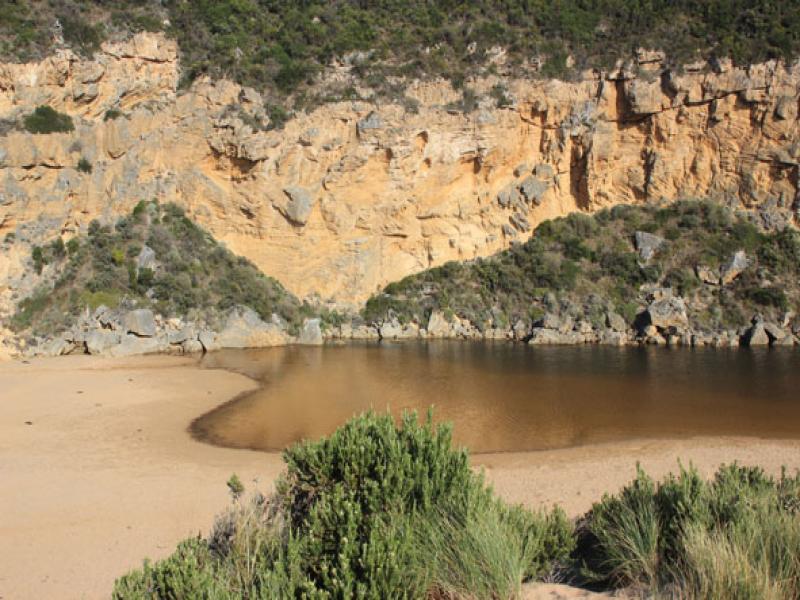
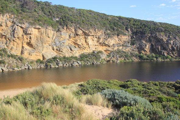
- illegal opening attempted but mouth still closed
- Water flowing out from estuary but going underground about half way along trench
- Beach changing shape -undulations from north to south appearing but highest point is still east of entrance. Sand cliff starting east end
- Berm is lower against cliff
- Many small fish in flooded vegetation along side of estuary
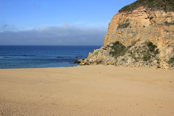
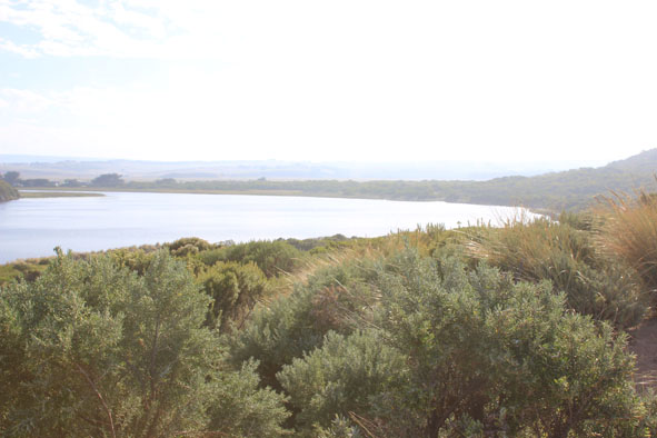
Mouth Observation
| Mouth state | Closed |
|---|---|
| Previous | C O P O O O P O O O O O O O O O O O O O O O O O O O O O O O O O O O O O O C C C C C C C C C C C O O O O O O C C C C O C C C C C |
| Flow Present? | No |
| Previous | N Y N Y Y Y Y Y Y Y Y Y Y Y Y Y Y Y Y Y Y Y Y Y Y Y Y Y Y Y Y Y Y Y Y Y Y N N N N N N N N Y N N Y Y Y Y Y Y N N N N Y N N N N |
| Flow Direction | N/A |
| Previous | N I N I I O I O O O O O O O O O O O O O O O O O O O O O O O O O O O O O O N N N N N N N N N N O O I O O N N N N I N N N N |
| Above Sea | Above Estuary | |
|---|---|---|
| Berm Height (m) | 0.7m | 0.3m |
| Berm Length (m) |
Physical Condition
| Current | Mode | |
|---|---|---|
| Wind Direction | North-East | |
| Beaufort Scale | Light Breeze | |
| Sea State | Slight |


All content, files, data and images provided by the EstuaryWatch Data Portal and Gallery are subject to a Creative Commons Attribution License
Content is made available to be used in any way, and should always attribute EstuaryWatch and www.estuarywatch.org.au