EstuaryWatch Data Portal
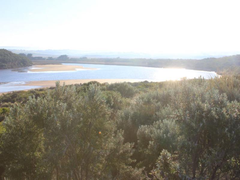
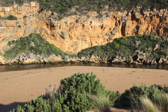
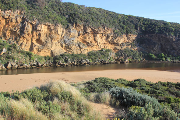
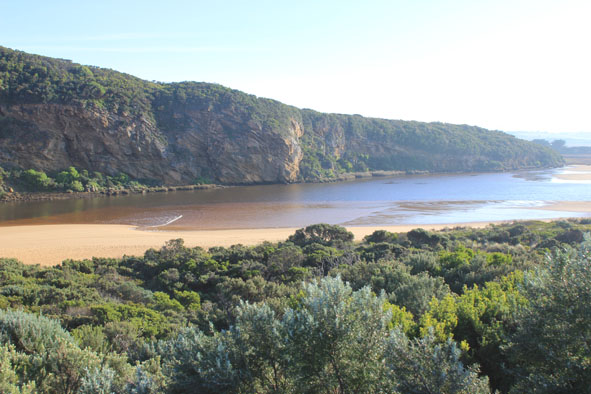
GMC Gellibrand River Estuary Mouth Observation Site
12 July 2013
Observation details
Overview
| Estuary | Gellibrand River Estuary |
|---|---|
| Site | Gellibrand River Estuary Mouth Observation Site |
| Observation ID | #8373 |
| Date and Time | Friday 12th July 2013 10:35am |
| Approved | Approved |
Notes
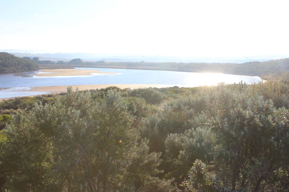
- Dark discharge out only around mouth
- Signs of recent release -sheer side(1-1.5m.) to east side of channel
- low water level in estuary & river - sand bar & east side well exposed
- Waves entering mouth & channel -long shore drift active along shore line to mouth
- Increased erosion east side of estuary from recent rough seas - waves up to dunes on ocean beach
Mouth Observation
| Mouth state | Open |
|---|---|
| Previous | O O O O O O O O O O O O O O O O O O O O O O O O O C C C C C C C C C C C O O O O O O C C C C O C C C C C C C O O O O P O O O O O O O O O O O |
| Flow Present? | Yes |
| Previous | Y Y Y Y Y Y Y Y Y Y Y Y Y Y Y Y Y Y Y Y Y Y Y Y Y N N N N N N N N Y N N Y Y Y Y Y Y N N N N Y N N N N N N Y Y Y Y Y Y Y Y Y Y Y Y Y Y Y Y |
| Flow Direction | Out |
| Previous | O O O O O O O O O O O O O O O O O O O O O O O O O N N N N N N N N N N O O I O O N N N N I N N N N N N O O O I I O O O O O O I O O I I |
| Above Sea | Above Estuary | |
|---|---|---|
| Berm Height (m) | ||
| Berm Length (m) |
Physical Condition
| Current | Mode | |
|---|---|---|
| Wind Direction | North | |
| Beaufort Scale | Gentle breeze | |
| Sea State | Rough |


All content, files, data and images provided by the EstuaryWatch Data Portal and Gallery are subject to a Creative Commons Attribution License
Content is made available to be used in any way, and should always attribute EstuaryWatch and www.estuarywatch.org.au