EstuaryWatch Data Portal
GMC Gellibrand River Estuary Mouth Observation Site
19 August 2013
Observation details
Overview
| Estuary | Gellibrand River Estuary |
|---|---|
| Site | Gellibrand River Estuary Mouth Observation Site |
| Observation ID | #8461 |
| Date and Time | Monday 19th August 2013 10:35am |
| Approved | Approved |
Notes
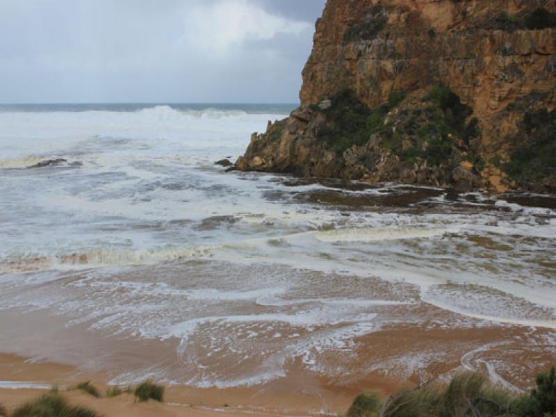
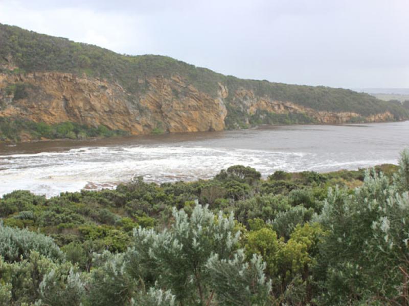
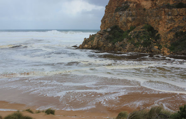
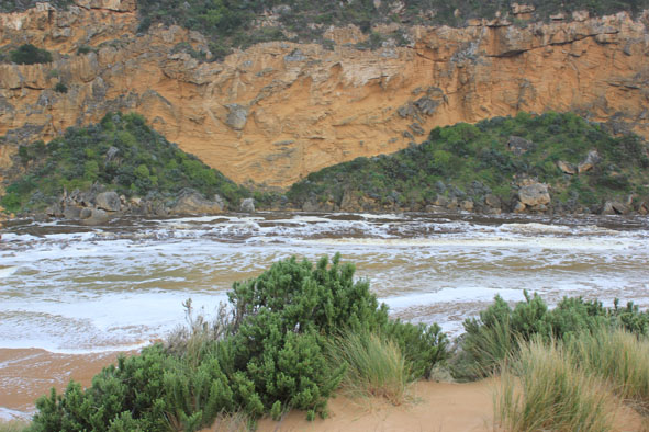
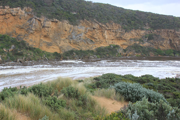
- High sea entering & very strong outflow completely across entrance, waves in all directions in channel then turning east into estuary where they impacting on south & south east sides where much damage has occurred from recent even higher sea & tides
- Dunes east side of channel & south side of estuary greatly reduced
- Waves up to dunes on ocean beach which is covered with foam
- Water very deep over low track & up to car park
- No water over roads but some run off from heavy rain is running in 2 channels cut across the OOR previously
but levels at G4 are lower than at17/08/13
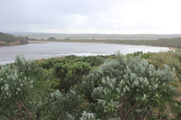
Mouth Observation
| Mouth state | Open |
|---|---|
| Previous | O O O O O O O O O O O O O O O O O O O C C C C C C C C C C C O O O O O O C C C C O C C C C C C C O O O O P O O O O O O O O O O O O O O O O |
| Flow Present? | Yes |
| Previous | Y Y Y Y Y Y Y Y Y Y Y Y Y Y Y Y Y Y Y N N N N N N N N Y N N Y Y Y Y Y Y N N N N Y N N N N N N Y Y Y Y Y Y Y Y Y Y Y Y Y Y Y Y Y Y Y Y Y |
| Flow Direction | Out |
| Previous | O O O O O O O O O O O O O O O O O O O N N N N N N N N N N O O I O O N N N N I N N N N N N O O O I I O O O O O O I O O I I O O O O O |
| Above Sea | Above Estuary | |
|---|---|---|
| Berm Height (m) | ||
| Berm Length (m) |
Physical Condition
| Current | Mode | |
|---|---|---|
| Wind Direction | North-East | |
| Beaufort Scale | Fresh breeze | |
| Sea State | High |


All content, files, data and images provided by the EstuaryWatch Data Portal and Gallery are subject to a Creative Commons Attribution License
Content is made available to be used in any way, and should always attribute EstuaryWatch and www.estuarywatch.org.au