EstuaryWatch Data Portal
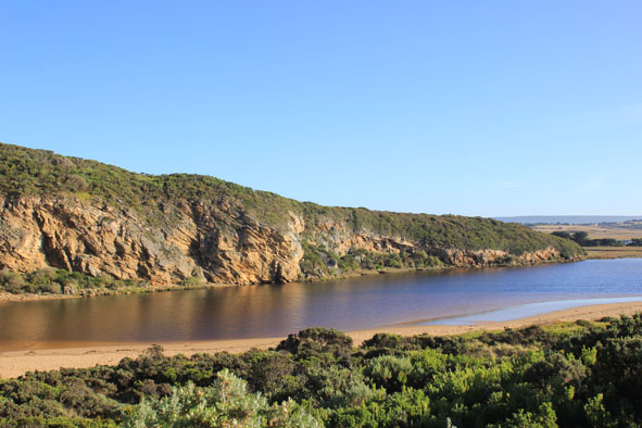
GMC Gellibrand River Estuary Mouth Observation Site
14 March 2014
Observation details
Overview
| Estuary | Gellibrand River Estuary |
|---|---|
| Site | Gellibrand River Estuary Mouth Observation Site |
| Observation ID | #8778 |
| Date and Time | Friday 14th March 2014 08:19am |
| Approved | Approved |
Notes
- Water level on AHD board rising as watched
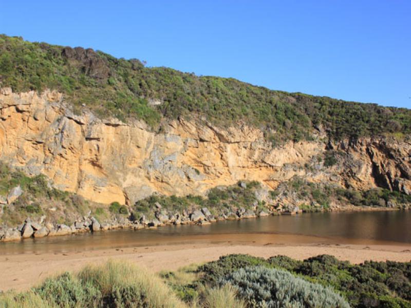
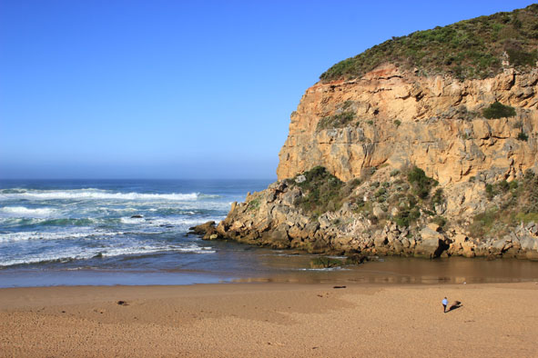
- Rough sea entering mouth over a wide area, longshore drift active
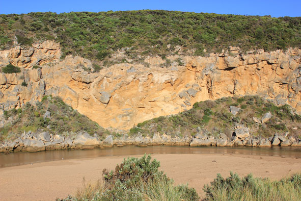
- Waves going over high sand build up & on into estuary where sand bar is covered
- Only very slight outflow of returning salt water
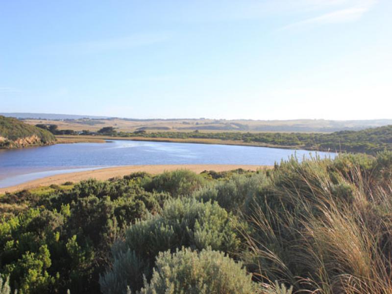
- Water & salt levels rising upstream
- Beach still horseshoe shaped - higher near mouth
- Swans &, Black duck 7 in estuary
Mouth Observation
| Mouth state | Open |
|---|---|
| Previous | O C C C C C C C O O O O P O O O O O O O O O O O O O O O O O O O O O O O O O O O O O O O O O O O O O O O O O O O O O |
| Flow Present? | Yes |
| Previous | Y N N N N N N Y Y Y Y Y Y Y Y Y Y Y Y Y Y Y Y Y Y Y Y Y Y Y Y Y Y Y Y Y Y Y Y Y Y Y Y Y Y Y Y Y Y Y Y Y Y Y Y Y Y |
| Flow Direction | Out |
| Previous | I N N N N N N O O O I I O O O O O O I O O I I O O O O O O O O O O O O O O O O O O O O O O O O O O O O O O O O O O |
| Above Sea | Above Estuary | |
|---|---|---|
| Berm Height (m) | ||
| Berm Length (m) |
Physical Condition
| Current | Mode | |
|---|---|---|
| Wind Direction | North | |
| Beaufort Scale | Gentle breeze | |
| Sea State | Rough |


All content, files, data and images provided by the EstuaryWatch Data Portal and Gallery are subject to a Creative Commons Attribution License
Content is made available to be used in any way, and should always attribute EstuaryWatch and www.estuarywatch.org.au