EstuaryWatch Data Portal
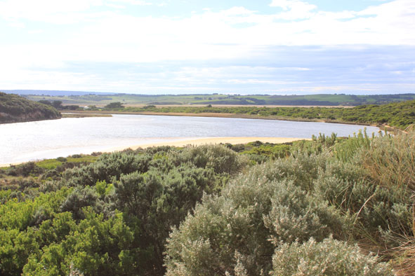
GMC Gellibrand River Estuary Mouth Observation Site
17 May 2014
Observation details
Overview
| Estuary | Gellibrand River Estuary |
|---|---|
| Site | Gellibrand River Estuary Mouth Observation Site |
| Observation ID | #8876 |
| Date and Time | Saturday 17th May 2014 11:35am |
| Approved | Approved |
Notes
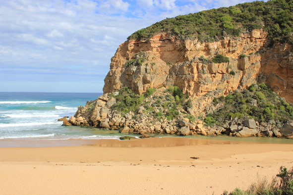
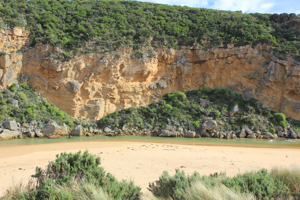
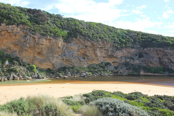
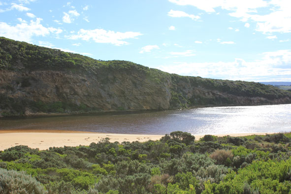
- Salt water only entering mouth, travelling down channel into estuary. Entering darker water near tunnel entrance
- Wave surge strong down channel continuing north over sand bar
- Wind driven waves from north travelling toward mouth along east side of estuary
- Waves in all directions at mouth around rocks
- Strong long shore drift
- Waves on angle along beach
- Hoary headed grebe(1), Swamp harriers (2) Peregrine falcon (1)
Mouth Observation
| Mouth state | Open |
|---|---|
| Previous | O O O O O O O O O O O O O O O O O O O O O O O O O O O O O O O O O O O O O O O O O O O C C C P C C O O |
| Flow Present? | Yes |
| Previous | Y Y Y Y Y Y Y Y Y Y Y Y Y Y Y Y Y Y Y Y Y Y Y Y Y Y Y Y Y Y Y Y Y Y Y Y Y Y Y Y Y Y Y N N N Y N N Y Y |
| Flow Direction | In |
| Previous | O O O I O O I I O O O O O O O O O O O O O O O O O O O O O O O O O O O O O O O O O O O N N N I N N O O |
| Above Sea | Above Estuary | |
|---|---|---|
| Berm Height (m) | ||
| Berm Length (m) |
Physical Condition
| Current | Mode | |
|---|---|---|
| Wind Direction | North | |
| Beaufort Scale | Moderate breeze | |
| Sea State | Rough |


All content, files, data and images provided by the EstuaryWatch Data Portal and Gallery are subject to a Creative Commons Attribution License
Content is made available to be used in any way, and should always attribute EstuaryWatch and www.estuarywatch.org.au