EstuaryWatch Data Portal
GMC Gellibrand River Estuary Mouth Observation Site
19 July 2014
Observation details
Overview
| Estuary | Gellibrand River Estuary |
|---|---|
| Site | Gellibrand River Estuary Mouth Observation Site |
| Observation ID | #9015 |
| Date and Time | Saturday 19th July 2014 11:30am |
| Approved | Approved |
Notes
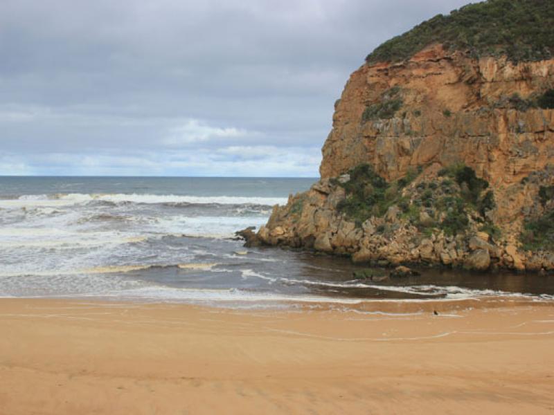
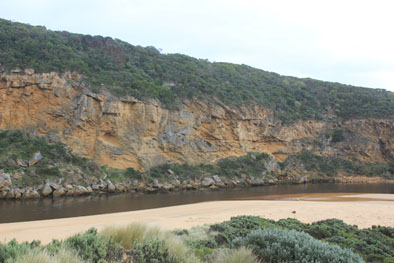
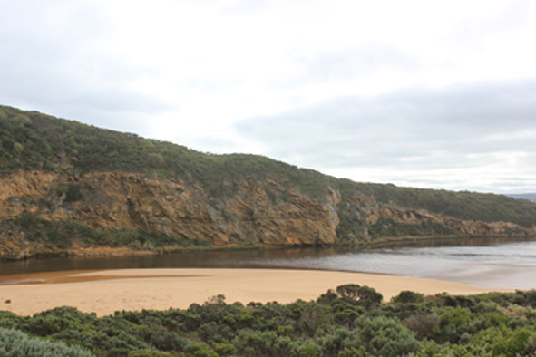
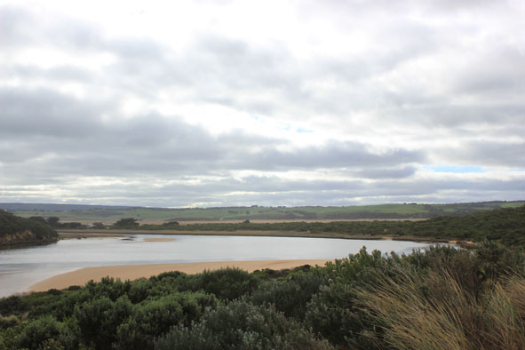
- Strong flowing dark discharge out over wide entrance, mainly around entrance but difficult to tell because of waves & foam
- Strong longshore drift, occasional small waves entering channel & estuary
- Ocean beach wide, level & covered with silt & foam (especially at east end
- Waves have been up to base of dunes during recent storm/rough sea (17/07/14)
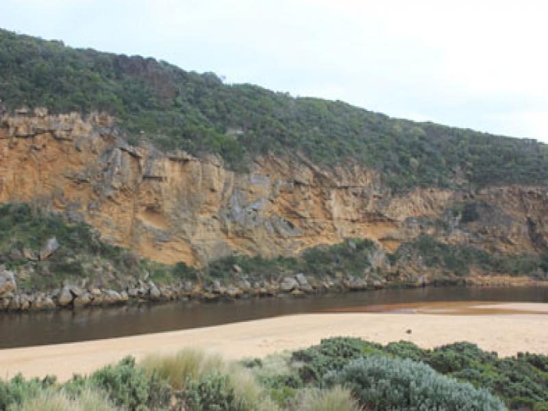
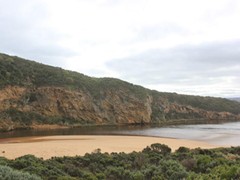
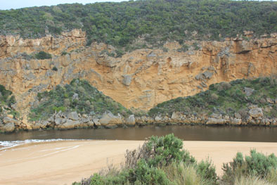
- Sand spit at north end of channel has further extended into estuary
- Sand bar exposed & low track clear of water
Mouth Observation
| Mouth state | Open |
|---|---|
| Previous | O O O O O O O O O O O O O O O O O O O O O O O O O O O O O O O O O O C C C P C C O O O O O O O O O O O O |
| Flow Present? | Yes |
| Previous | Y Y Y Y Y Y Y Y Y Y Y Y Y Y Y Y Y Y Y Y Y Y Y Y Y Y Y Y Y Y Y Y Y Y N N N Y N N Y Y Y Y Y Y Y Y Y Y Y Y |
| Flow Direction | Out |
| Previous | O O O O O O O O O O O O O O O O O O O O O O O O O O O O O O O O O O N N N I N N O O I O I I O I O O O O |
| Above Sea | Above Estuary | |
|---|---|---|
| Berm Height (m) | ||
| Berm Length (m) |
Physical Condition
| Current | Mode | |
|---|---|---|
| Wind Direction | South | |
| Beaufort Scale | Gentle breeze | |
| Sea State | Rough |


All content, files, data and images provided by the EstuaryWatch Data Portal and Gallery are subject to a Creative Commons Attribution License
Content is made available to be used in any way, and should always attribute EstuaryWatch and www.estuarywatch.org.au