EstuaryWatch Data Portal
GMC Gellibrand River Estuary Mouth Observation Site
12 September 2014
Observation details
Overview
| Estuary | Gellibrand River Estuary |
|---|---|
| Site | Gellibrand River Estuary Mouth Observation Site |
| Observation ID | #9103 |
| Date and Time | Friday 12th September 2014 10:30am |
| Approved | Approved |
Notes
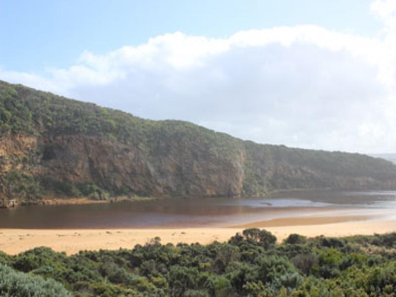
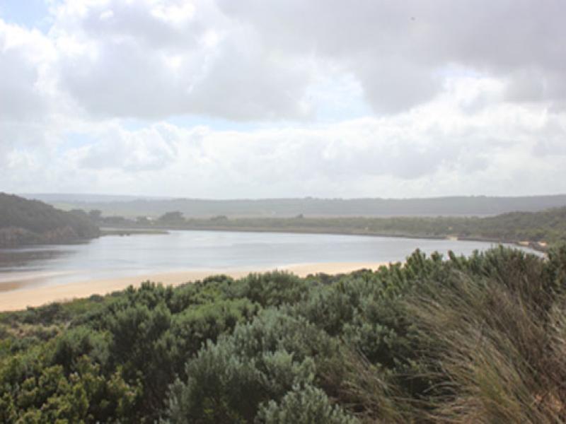
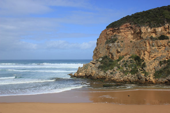
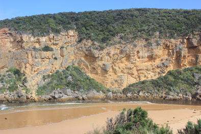
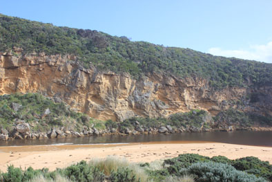
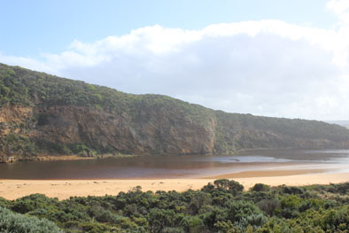
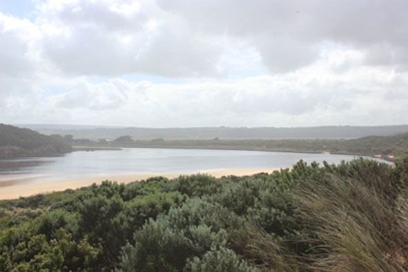
- Only pale discharge around mouth, green water just starting to enter
- Rough sea- waves high up on beach & entering over a wide shallow area. Longshore drift active. Beach highest at east end
- Small waves entering estuary
- Area around rocks shallow & channel width has reduced
- Large amount of seaweed & debris along swash line on ocean beach, down east side of channel & on south side of estuary
- Increased erosion along east side of estuary from high sea (11/09/14)
Mouth Observation
| Mouth state | Open |
|---|---|
| Previous | O O O O O O O O O O O O O O O O O O O O O O O O O O C C C P C C O O O O O O O O O O O O O O O O O O O O |
| Flow Present? | Yes |
| Previous | Y Y Y Y Y Y Y Y Y Y Y Y Y Y Y Y Y Y Y Y Y Y Y Y Y Y N N N Y N N Y Y Y Y Y Y Y Y Y Y Y Y Y Y Y Y Y Y Y Y |
| Flow Direction | N/A |
| Previous | O O O O O O O O O O O O O O O O O O O O O O O O O O N N N I N N O O I O I I O I O O O O O O I O O O O O |
| Above Sea | Above Estuary | |
|---|---|---|
| Berm Height (m) | ||
| Berm Length (m) |
Physical Condition
| Current | Mode | |
|---|---|---|
| Wind Direction | North | |
| Beaufort Scale | Light Breeze | |
| Sea State | Rough |


All content, files, data and images provided by the EstuaryWatch Data Portal and Gallery are subject to a Creative Commons Attribution License
Content is made available to be used in any way, and should always attribute EstuaryWatch and www.estuarywatch.org.au