EstuaryWatch Data Portal
GMC Gellibrand River Estuary Mouth Observation Site
17 October 2014
Observation details
Overview
| Estuary | Gellibrand River Estuary |
|---|---|
| Site | Gellibrand River Estuary Mouth Observation Site |
| Observation ID | #9171 |
| Date and Time | Friday 17th October 2014 10:30am |
| Approved | Approved |
Notes
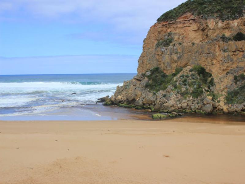
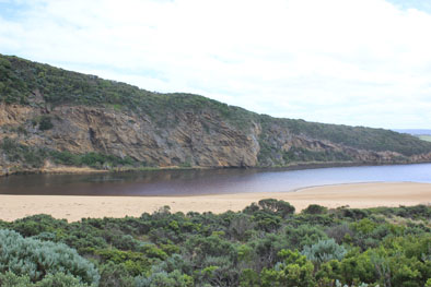
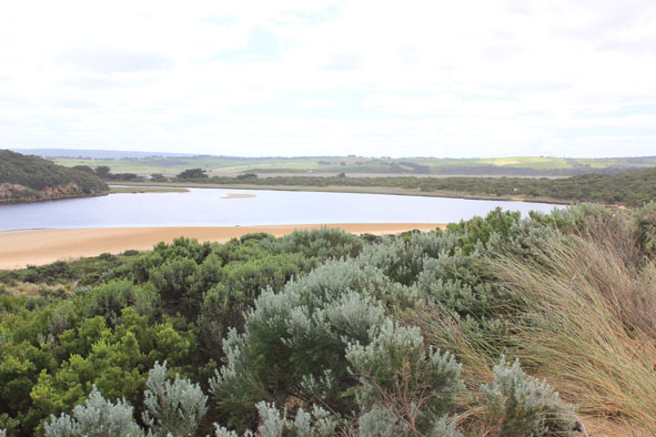
- Only very slight discharge at mouth
- Waves in all directions at mouth with strong longshore drift. Occasional waves entering both sides of rocks
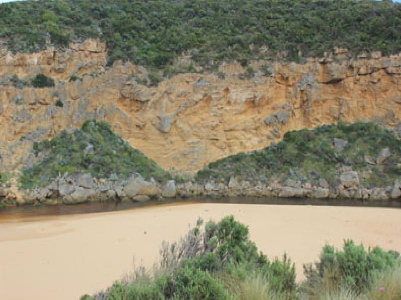
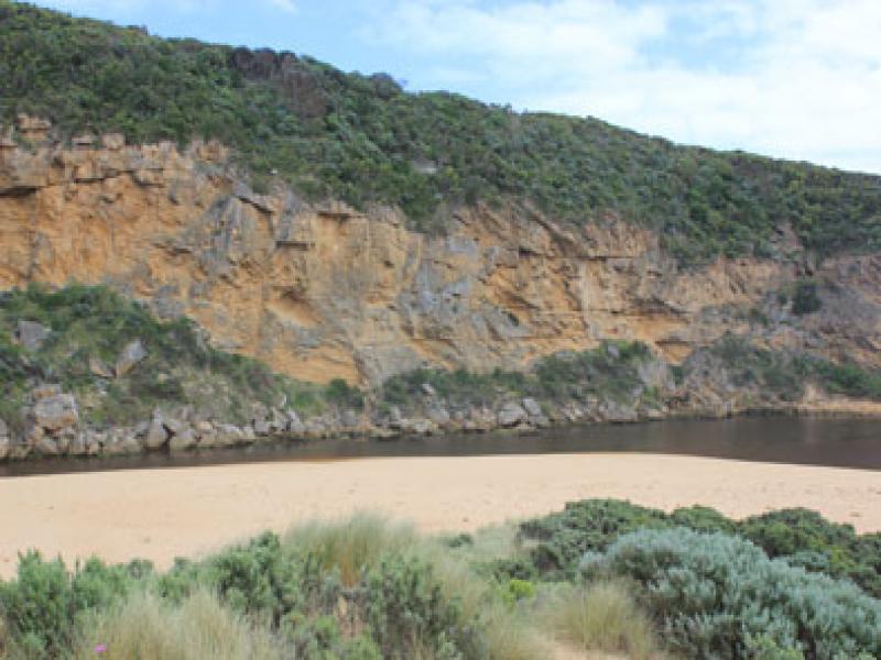
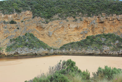
- Sand build up has increased around mouth & in channel
- The path of last weeks longshore drift entry around mouth & upstream of rocks has been cut away -there is now a sheer east side to channel (60-80cm high)
- Ocean beach still horseshoe shaped with steep slope to ocean, sand cliff at east end remains
Mouth Observation
| Mouth state | Open |
|---|---|
| Previous | O O O O O O O O O O O O O O O O O O O O O C C C P C C O O O O O O O O O O O O O O O O O O O O O O O O O |
| Flow Present? | Yes |
| Previous | Y Y Y Y Y Y Y Y Y Y Y Y Y Y Y Y Y Y Y Y Y N N N Y N N Y Y Y Y Y Y Y Y Y Y Y Y Y Y Y Y Y Y Y Y Y Y Y Y Y |
| Flow Direction | Out |
| Previous | O O O O O O O O O O O O O O O O O O O O O N N N I N N O O I O I I O I O O O O O O I O O O O O O O O O |
| Above Sea | Above Estuary | |
|---|---|---|
| Berm Height (m) | ||
| Berm Length (m) |
Physical Condition
| Current | Mode | |
|---|---|---|
| Wind Direction | South | |
| Beaufort Scale | Gentle breeze | |
| Sea State | Rough |


All content, files, data and images provided by the EstuaryWatch Data Portal and Gallery are subject to a Creative Commons Attribution License
Content is made available to be used in any way, and should always attribute EstuaryWatch and www.estuarywatch.org.au