EstuaryWatch Data Portal
GMC Gellibrand River Estuary Mouth Observation Site
27 December 2014
Observation details
Overview
| Estuary | Gellibrand River Estuary |
|---|---|
| Site | Gellibrand River Estuary Mouth Observation Site |
| Observation ID | #9287 |
| Date and Time | Saturday 27th December 2014 09:15am |
| Approved | Approved |
Notes
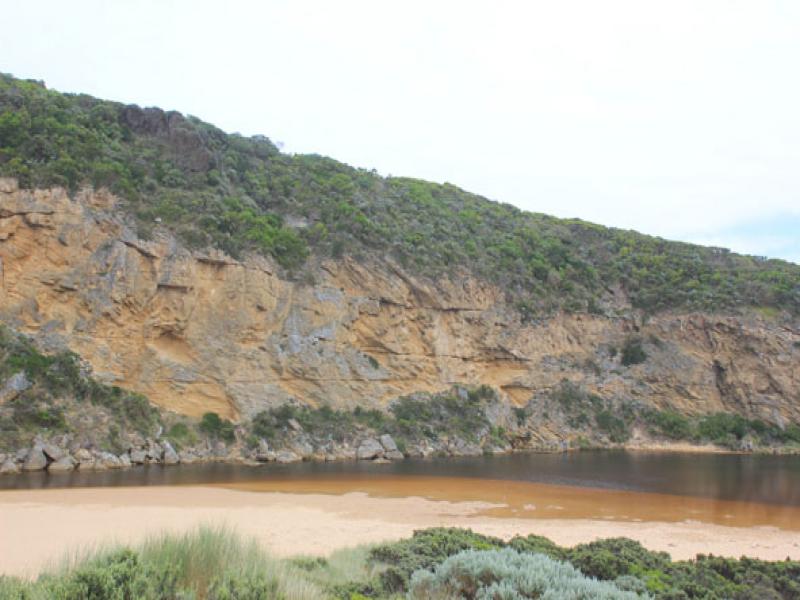
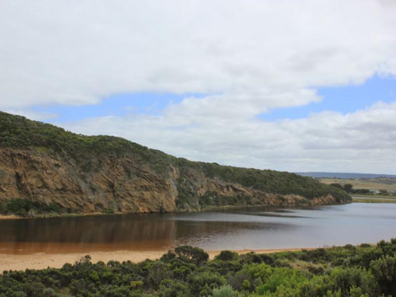
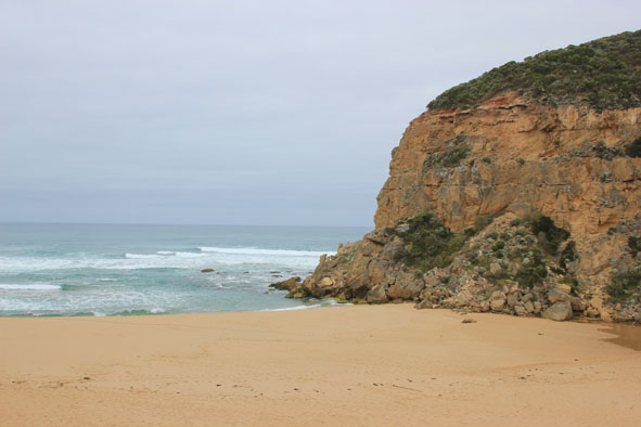
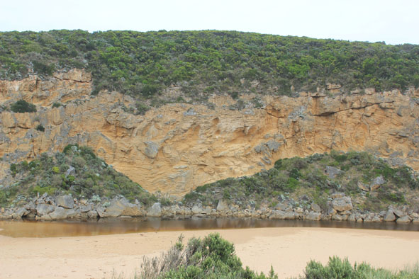
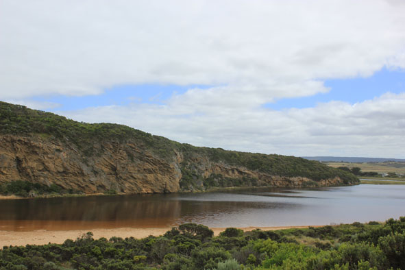
- Mouth closed, no flow but swash line indicates waves have been high on beach then travelled west behind berm into channel
- Berm higher, highest point about 20-40m. east of mouth (lower across mouth)
- 2nd. rock in channel nearly covered with sand
- Beach horseshoe shaped lowest area mid beach
- Large slip has occurred along cliff at next beach to east, much sand being eroded
- Dead White faced Petrol
Mouth Observation
| Mouth state | Closed |
|---|---|
| Previous | O O O O O O O O O O O O C C C P C C O O O O O O O O O O O O O O O O O O O O O O O O O O O O O O O O O O C |
| Flow Present? | No |
| Previous | Y Y Y Y Y Y Y Y Y Y Y Y N N N Y N N Y Y Y Y Y Y Y Y Y Y Y Y Y Y Y Y Y Y Y Y Y Y Y Y Y Y Y Y Y Y Y Y Y Y N |
| Flow Direction | N/A |
| Previous | O O O O O O O O O O O O N N N I N N O O I O I I O I O O O O O O I O O O O O O O O O O O O O O O O O N |
| Above Sea | Above Estuary | |
|---|---|---|
| Berm Height (m) | 0.6m | 0.4m |
| Berm Length (m) |
Physical Condition
| Current | Mode | |
|---|---|---|
| Wind Direction | North | |
| Beaufort Scale | Gentle breeze | |
| Sea State | Moderate |


All content, files, data and images provided by the EstuaryWatch Data Portal and Gallery are subject to a Creative Commons Attribution License
Content is made available to be used in any way, and should always attribute EstuaryWatch and www.estuarywatch.org.au