EstuaryWatch Data Portal
GMC Gellibrand River Estuary Mouth Observation Site
9 January 2015
Observation details
Overview
| Estuary | Gellibrand River Estuary |
|---|---|
| Site | Gellibrand River Estuary Mouth Observation Site |
| Observation ID | #9313 |
| Date and Time | Friday 9th January 2015 10:45am |
| Approved | Approved |
Notes
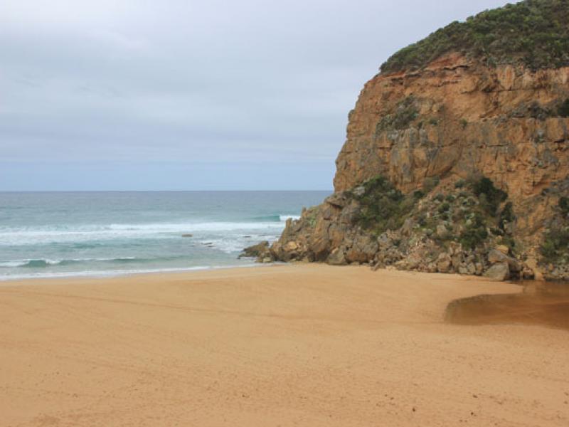
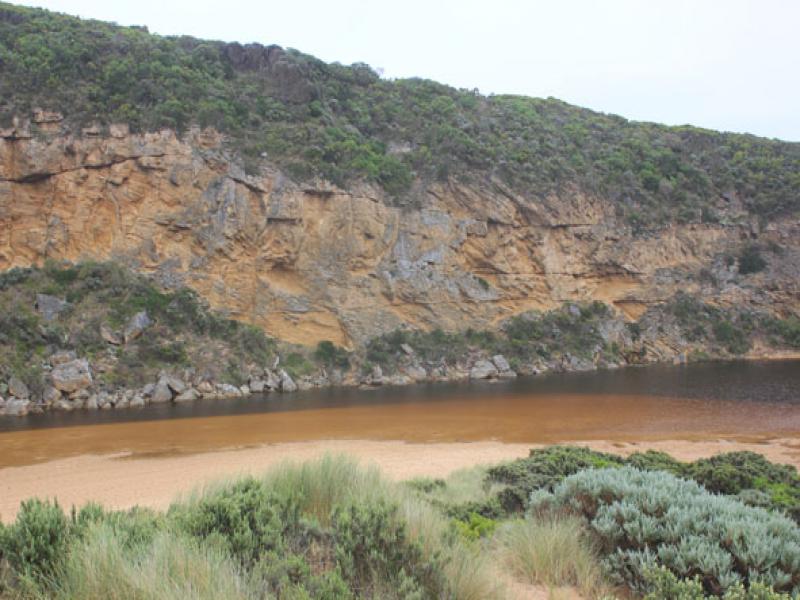
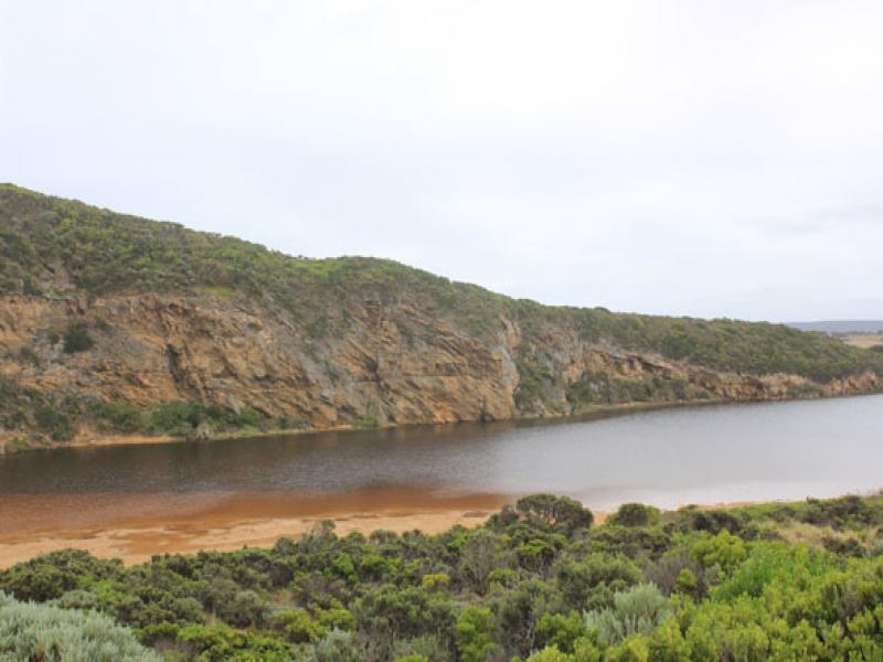
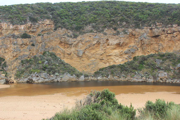
- Mouth closed no waves over at last hi tide
- Berm higher with more sand on ocean side
- Rock almost completely covered by sand
- Beach horseshoe shaped, very wide & gently sloping
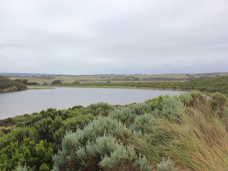
- Deep water across low track ( shallow near car park) but only at edge of top track. Some puddles & damp areas in camp ground
- Bad smell noted from wetlands after hot/humid conditions (over 40c. temp. days)
Mouth Observation
| Mouth state | Closed |
|---|---|
| Previous | O O O O O O O O O O C C C P C C O O O O O O O O O O O O O O O O O O O O O O O O O O O O O O O O O O C C C |
| Flow Present? | No |
| Previous | Y Y Y Y Y Y Y Y Y Y N N N Y N N Y Y Y Y Y Y Y Y Y Y Y Y Y Y Y Y Y Y Y Y Y Y Y Y Y Y Y Y Y Y Y Y Y Y N N N |
| Flow Direction | N/A |
| Previous | O O O O O O O O O O N N N I N N O O I O I I O I O O O O O O I O O O O O O O O O O O O O O O O O N N N |
| Above Sea | Above Estuary | |
|---|---|---|
| Berm Height (m) | 0.8m | 0.4m |
| Berm Length (m) |
Physical Condition
| Current | Mode | |
|---|---|---|
| Wind Direction | South | |
| Beaufort Scale | Gentle breeze | |
| Sea State | Moderate |


All content, files, data and images provided by the EstuaryWatch Data Portal and Gallery are subject to a Creative Commons Attribution License
Content is made available to be used in any way, and should always attribute EstuaryWatch and www.estuarywatch.org.au