EstuaryWatch Data Portal
GMC Gellibrand River Estuary Mouth Observation Site
27 March 2015
Observation details
Overview
| Estuary | Gellibrand River Estuary |
|---|---|
| Site | Gellibrand River Estuary Mouth Observation Site |
| Observation ID | #9472 |
| Date and Time | Friday 27th March 2015 10:10am |
| Approved | Approved |
Notes
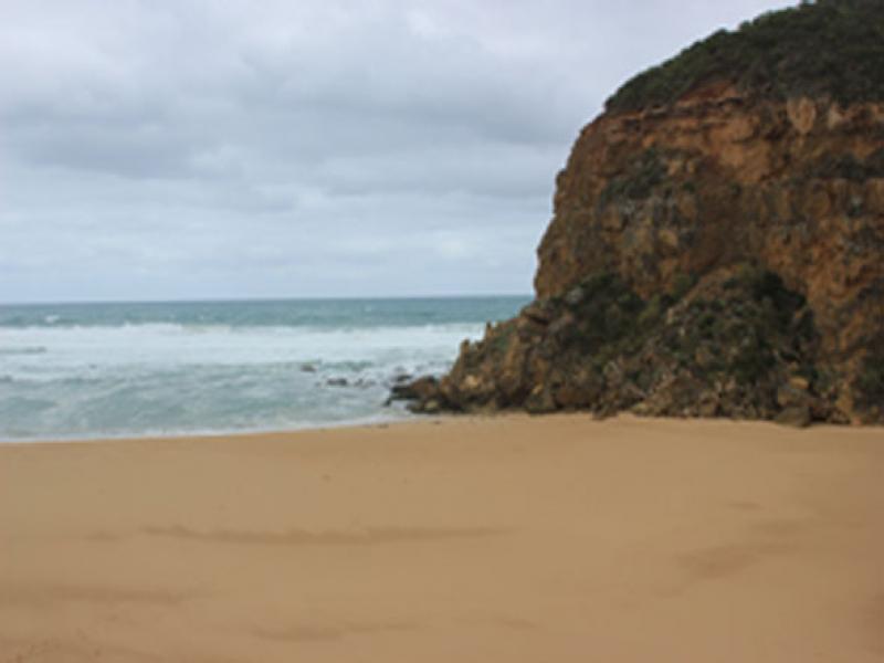
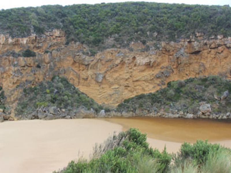
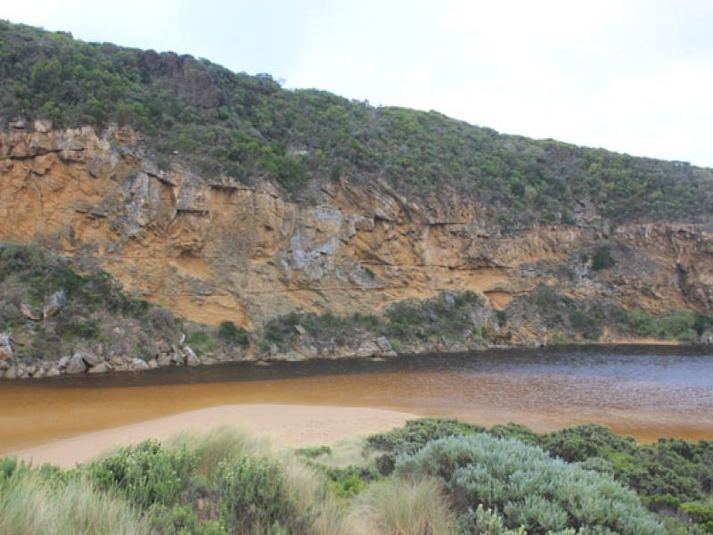
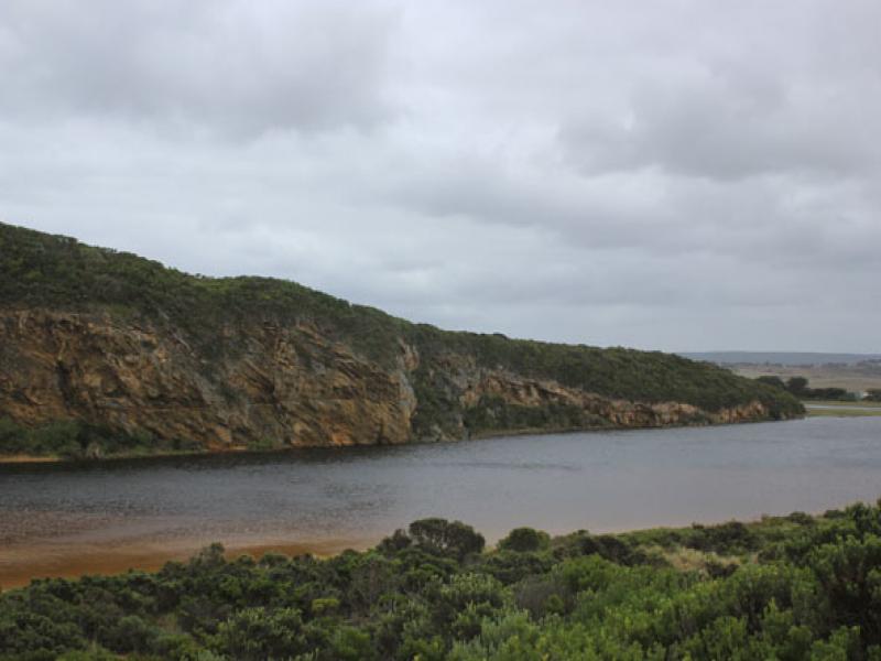
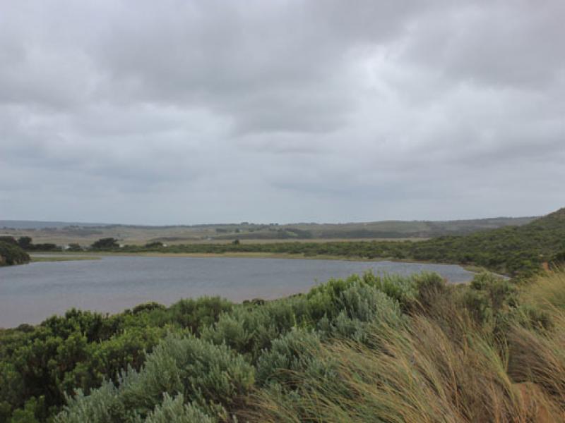
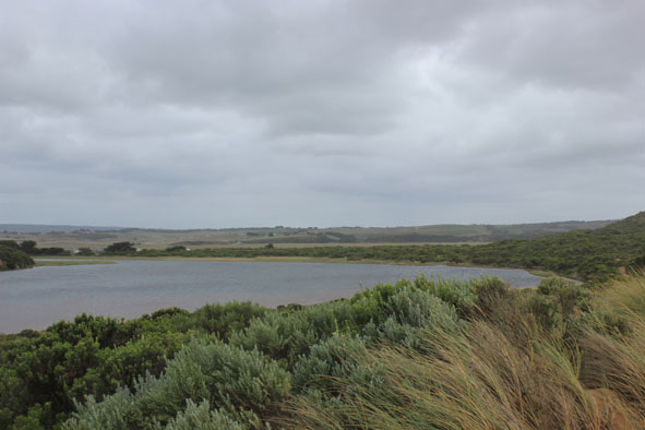
- Mouth barred but occasional waves have been over reaching the estuary at hi tide with V.rough sea
- Berm now has gentle slope down to sea. Beach horseshoe shaped, lower at east end
- Sand higher near mouth
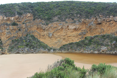
- Rocks in channel now completely covered by sand
- Estuary front where it meets berm is wider
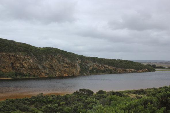
- S.W. waves at east end are turning back travelling toward mouth
- Wind blowing sand into estuary
- No water over OCR but to the edge of OOR at flood markers
Mouth Observation
| Mouth state | Closed |
|---|---|
| Previous | C P C C O O O O O O O O O O O O O O O O O O O O O O O O O O O O O O O O O O C C C C O O P C C O O O C C C |
| Flow Present? | No |
| Previous | N Y N N Y Y Y Y Y Y Y Y Y Y Y Y Y Y Y Y Y Y Y Y Y Y Y Y Y Y Y Y Y Y Y Y Y Y N N N N Y Y Y N N Y Y Y N N N |
| Flow Direction | N/A |
| Previous | N I N N O O I O I I O I O O O O O O I O O O O O O O O O O O O O O O O O N N N N O O I N N O I O N N N |
| Above Sea | Above Estuary | |
|---|---|---|
| Berm Height (m) | 0.7m | 0.3m |
| Berm Length (m) |
Physical Condition
| Current | Mode | |
|---|---|---|
| Wind Direction | South | |
| Beaufort Scale | Fresh breeze | |
| Sea State | Very Rough |


All content, files, data and images provided by the EstuaryWatch Data Portal and Gallery are subject to a Creative Commons Attribution License
Content is made available to be used in any way, and should always attribute EstuaryWatch and www.estuarywatch.org.au