EstuaryWatch Data Portal
GMC Gellibrand River Estuary Mouth Observation Site
2 April 2015
Observation details
Overview
| Estuary | Gellibrand River Estuary |
|---|---|
| Site | Gellibrand River Estuary Mouth Observation Site |
| Observation ID | #9497 |
| Date and Time | Thursday 2nd April 2015 07:35am |
| Approved | Approved |
Notes
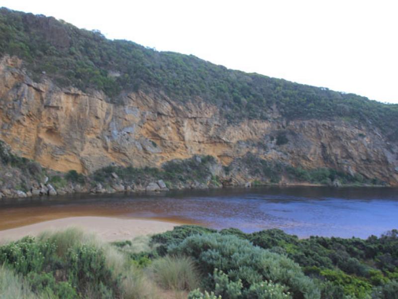
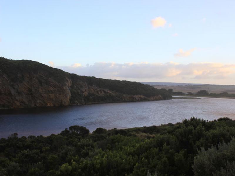
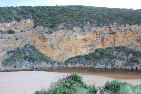
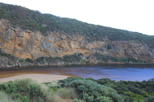
- Strong dark flow from mouth (about 15m wide) then to east along shoreline
- Out flow cascading down cataract between rocks & cliff face
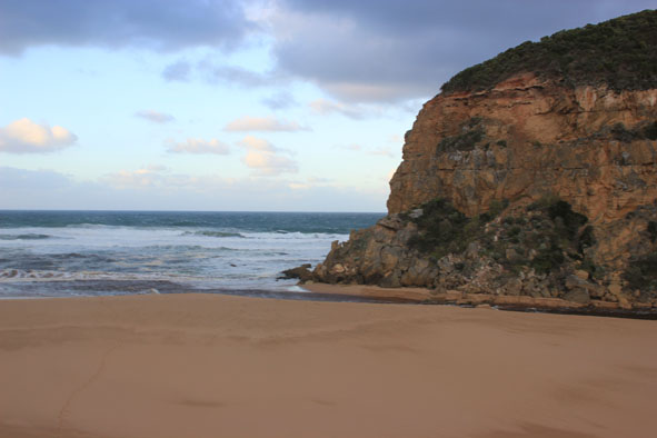
- Very strong longshore drift meeting waves from south mixing with strong outflow creating whirlpools around rocks & upstream. Also waves entering causing more whirlpools further upstream
- Sheer sides cut to the channel -over 3m. at entrance receding as progresses upstream
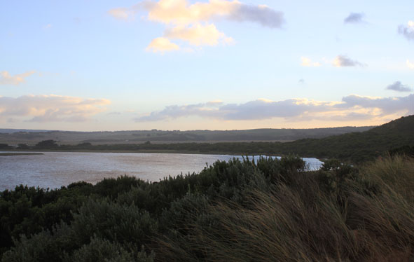
0, then flowing to east along shoreline
Mouth Observation
| Mouth state | Open |
|---|---|
| Previous | P C C O O O O O O O O O O O O O O O O O O O O O O O O O O O O O O O O O O C C C C O O P C C O O O C C C C C C |
| Flow Present? | Yes |
| Previous | Y N N Y Y Y Y Y Y Y Y Y Y Y Y Y Y Y Y Y Y Y Y Y Y Y Y Y Y Y Y Y Y Y Y Y Y N N N N Y Y Y N N Y Y Y N N N N N N |
| Flow Direction | Out |
| Previous | I N N O O I O I I O I O O O O O O I O O O O O O O O O O O O O O O O O N N N N O O I N N O I O N N N N N N |
| Above Sea | Above Estuary | |
|---|---|---|
| Berm Height (m) | ||
| Berm Length (m) |
Physical Condition
| Current | Mode | |
|---|---|---|
| Wind Direction | South-East | |
| Beaufort Scale | Fresh breeze | |
| Sea State | Moderate |


All content, files, data and images provided by the EstuaryWatch Data Portal and Gallery are subject to a Creative Commons Attribution License
Content is made available to be used in any way, and should always attribute EstuaryWatch and www.estuarywatch.org.au