EstuaryWatch Data Portal
GMC Gellibrand River Estuary Mouth Observation Site
5 June 2015
Observation details
Overview
| Estuary | Gellibrand River Estuary |
|---|---|
| Site | Gellibrand River Estuary Mouth Observation Site |
| Observation ID | #9650 |
| Date and Time | Friday 5th June 2015 11:25am |
| Approved | Approved |
Notes
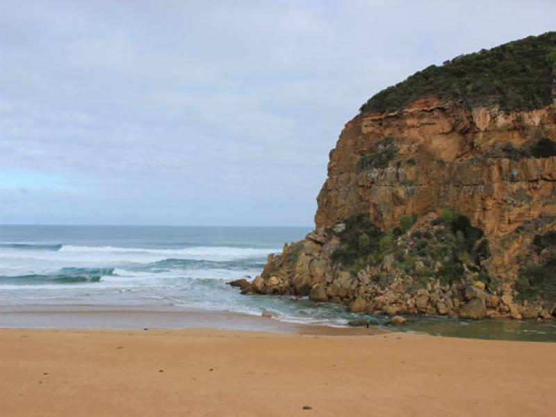
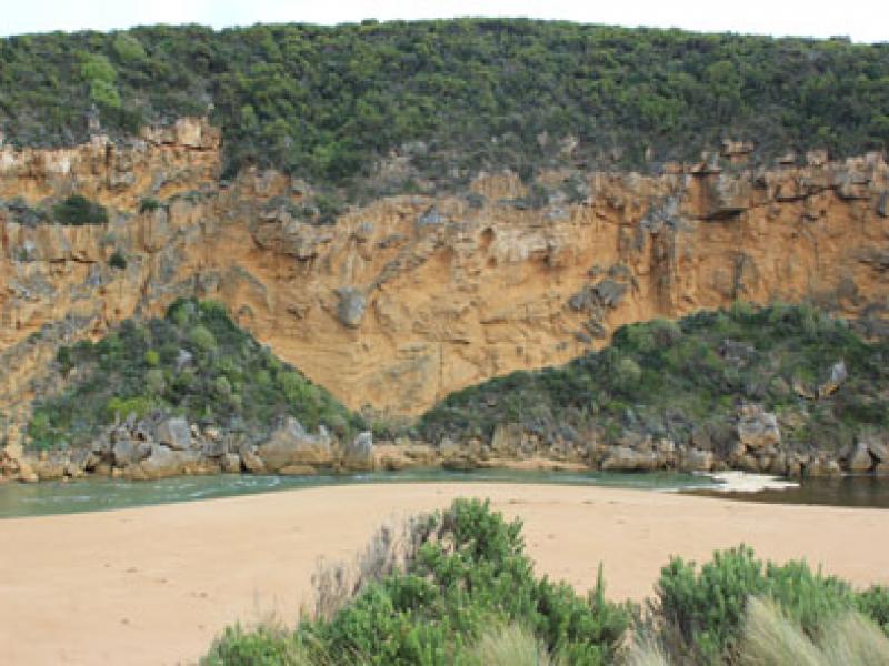
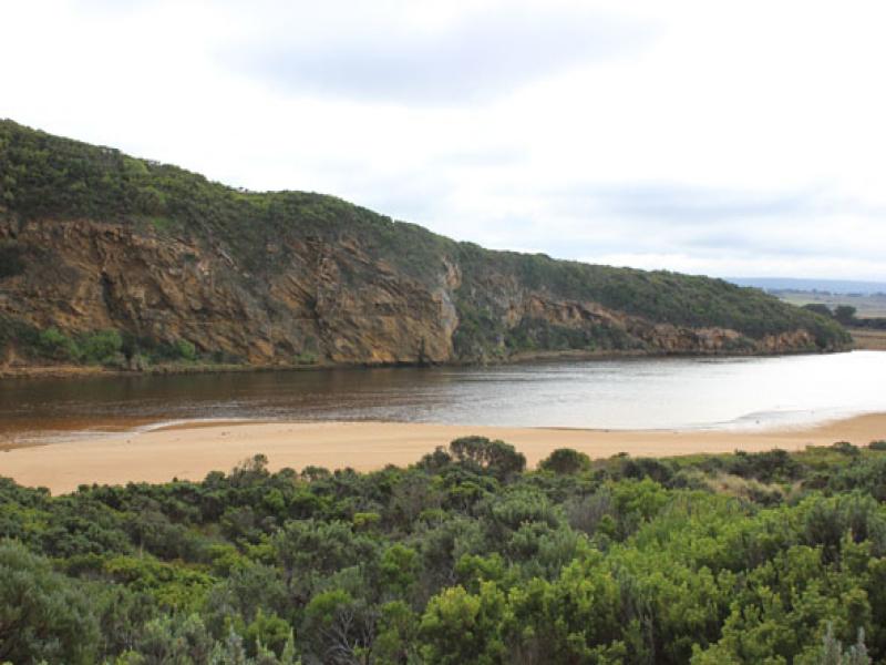
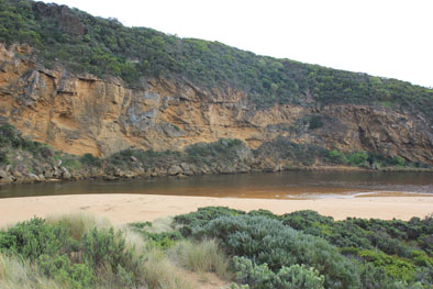
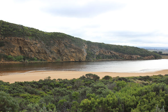
- salt water entering, meeting fresh between rocks & tunnel entrance
- Waves sometimes high up over sand build up near mouth
- Wave swell from W/SW still impacting on dunes at east end of beach
- Longshore drift crossing over mouth to cliff dragging /rolling sand into channel in front of rocks & also taking it up stream
- East side of channel has steep side -scoured out by release on 2/6/15 & 3/6/15
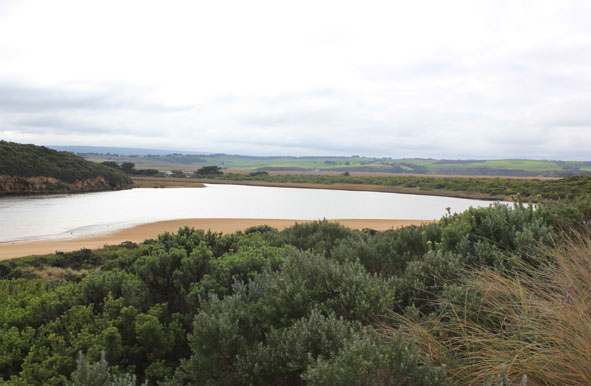
Mouth Observation
| Mouth state | Open |
|---|---|
| Previous | O O O O O O O O O O O O O O O O O O O O O O O O O O O O O C C C C O O P C C O O O C C C C C C O O O P C O O O P O O O O O O |
| Flow Present? | Yes |
| Previous | Y Y Y Y Y Y Y Y Y Y Y Y Y Y Y Y Y Y Y Y Y Y Y Y Y Y Y Y Y N N N N Y Y Y N N Y Y Y N N N N N N Y Y Y Y N Y Y Y N Y Y Y Y Y Y |
| Flow Direction | In |
| Previous | I O I O O O O O O I O O O O O O O O O O O O O O O O O N N N N O O I N N O I O N N N N N N O O O I N O O O N O O O O O O |
| Above Sea | Above Estuary | |
|---|---|---|
| Berm Height (m) | ||
| Berm Length (m) |
Physical Condition
| Current | Mode | |
|---|---|---|
| Wind Direction | North | |
| Beaufort Scale | Gentle breeze | |
| Sea State | Rough |


All content, files, data and images provided by the EstuaryWatch Data Portal and Gallery are subject to a Creative Commons Attribution License
Content is made available to be used in any way, and should always attribute EstuaryWatch and www.estuarywatch.org.au