EstuaryWatch Data Portal
GMC Gellibrand River Estuary Mouth Observation Site
20 June 2015
Observation details
Overview
| Estuary | Gellibrand River Estuary |
|---|---|
| Site | Gellibrand River Estuary Mouth Observation Site |
| Observation ID | #9686 |
| Date and Time | Saturday 20th June 2015 09:40am |
| Approved | Approved |
Notes
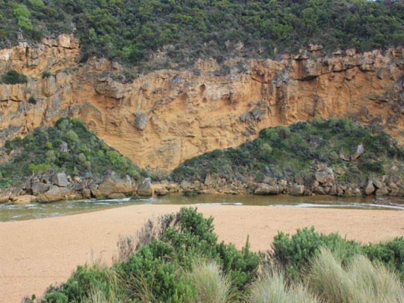
- Flow was out at start of monitoring but salt water (green)had reached tunnel entrance & flow upstream at G2 was noted at 12:10
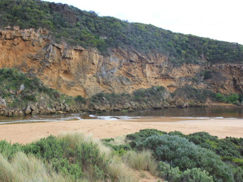
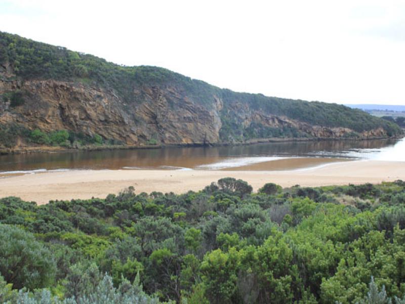
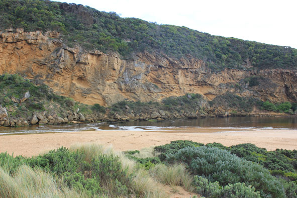
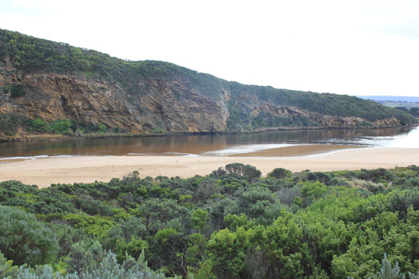
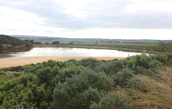
- Water level very low at start, seagrass/sandbar exposed & steep side(1m.+) along channel to mouth
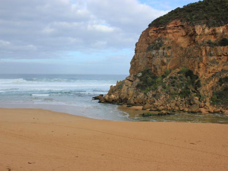
- High sand build up around mouth, higher & projecting out to sea slightly further east
- Beach very wide.
- Waves in all directions along whole of beachfront, strong longshore drift across mouth.
- Salt water entering & sending high wave 'clusters' up channel in front of salt/fresh divide
- Large amount of sand visible in turbulent water around rocks
Mouth Observation
| Mouth state | Open |
|---|---|
| Previous | O O O O O O O O O O O O O O O O O O O O O O O O O O O O C C C C O O P C C O O O C C C C C C O O O P C O O O P O O O O O O O O |
| Flow Present? | No |
| Previous | Y Y Y Y Y Y Y Y Y Y Y Y Y Y Y Y Y Y Y Y Y Y Y Y Y Y Y Y N N N N Y Y Y N N Y Y Y N N N N N N Y Y Y Y N Y Y Y N Y Y Y Y Y Y Y Y |
| Flow Direction | N/A |
| Previous | O I O O O O O O I O O O O O O O O O O O O O O O O O N N N N O O I N N O I O N N N N N N O O O I N O O O N O O O O O O I O |
| Above Sea | Above Estuary | |
|---|---|---|
| Berm Height (m) | ||
| Berm Length (m) |
Physical Condition
| Current | Mode | |
|---|---|---|
| Wind Direction | North-East | |
| Beaufort Scale | Light Air | |
| Sea State | Rough |


All content, files, data and images provided by the EstuaryWatch Data Portal and Gallery are subject to a Creative Commons Attribution License
Content is made available to be used in any way, and should always attribute EstuaryWatch and www.estuarywatch.org.au