EstuaryWatch Data Portal
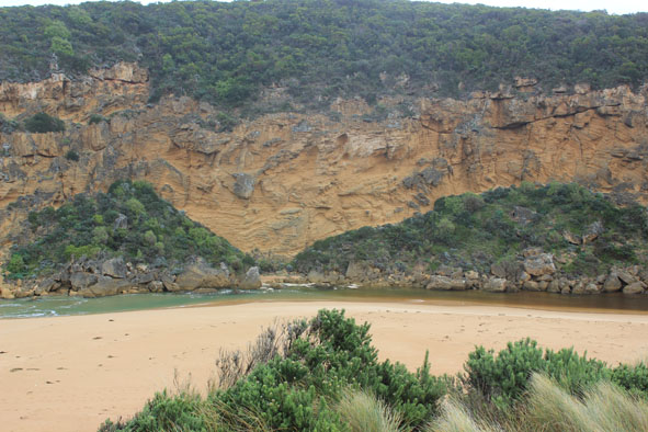
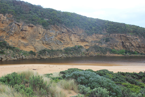
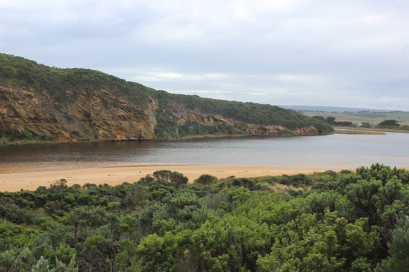
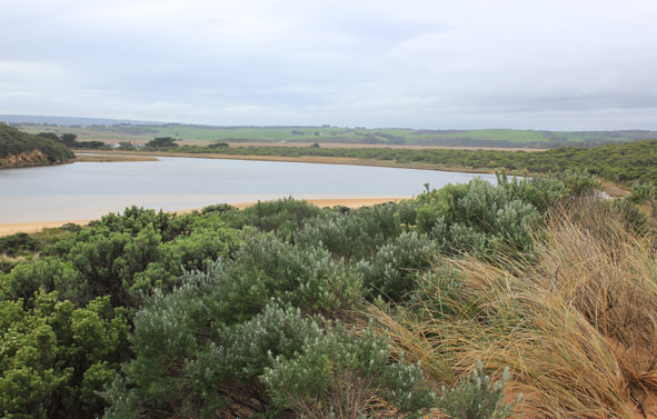
GMC Gellibrand River Estuary Mouth Observation Site
4 July 2015
CAUTION: This observation has not yet been reviewed by an EstuaryWatch coordinator.
Observation details
Overview
| Estuary | Gellibrand River Estuary |
|---|---|
| Site | Gellibrand River Estuary Mouth Observation Site |
| Observation ID | #9698 |
| Date and Time | Saturday 4th July 2015 12:05pm |
| Approved | Pending |
Notes
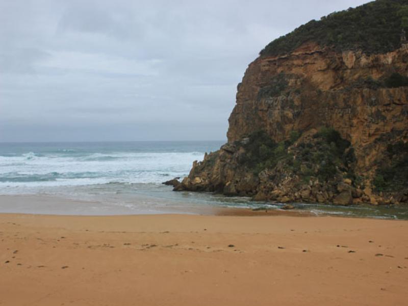
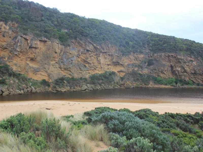
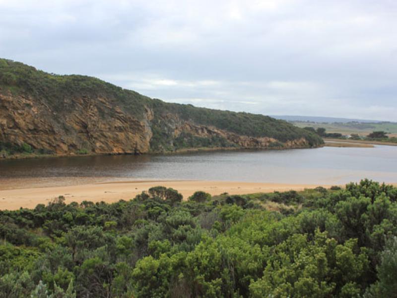
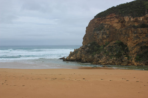
- Salt water entering, rough sea with strong longshore drift across mouth over increasing sand build up around rocks & in channel
- East end of ocean beach- increased erosion of dunes, debris washing up over high sand build up mid beach & travelling west to mouth
- Small particles of pumice in swash line near mouth
Mouth Observation
| Mouth state | Open |
|---|---|
| Previous | O O O O O O O O O O O O O O O O O O O O O O O O C C C C O O P C C O O O C C C C C C O O O P C O O O P O O O O O O O O O O |
| Flow Present? | Yes |
| Previous | Y Y Y Y Y Y Y Y Y Y Y Y Y Y Y Y Y Y Y Y Y Y Y Y N N N N Y Y Y N N Y Y Y N N N N N N Y Y Y Y N Y Y Y N Y Y Y Y Y Y Y Y Y |
| Flow Direction | In |
| Previous | O O O O I O O O O O O O O O O O O O O O O O N N N N O O I N N O I O N N N N N N O O O I N O O O N O O O O O O I O |
| Above Sea | Above Estuary | |
|---|---|---|
| Berm Height (m) | ||
| Berm Length (m) |
Physical Condition
| Current | Mode | |
|---|---|---|
| Wind Direction | North-West | |
| Beaufort Scale | Gentle breeze | |
| Sea State | Rough |


All content, files, data and images provided by the EstuaryWatch Data Portal and Gallery are subject to a Creative Commons Attribution License
Content is made available to be used in any way, and should always attribute EstuaryWatch and www.estuarywatch.org.au