EstuaryWatch Data Portal
GMC Gellibrand River Estuary Mouth Observation Site
16 October 2015
Observation details
Overview
| Estuary | Gellibrand River Estuary |
|---|---|
| Site | Gellibrand River Estuary Mouth Observation Site |
| Observation ID | #9895 |
| Date and Time | Friday 16th October 2015 12:00pm |
| Approved | Approved |
Notes
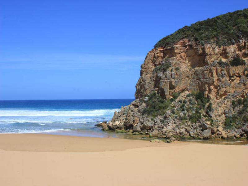
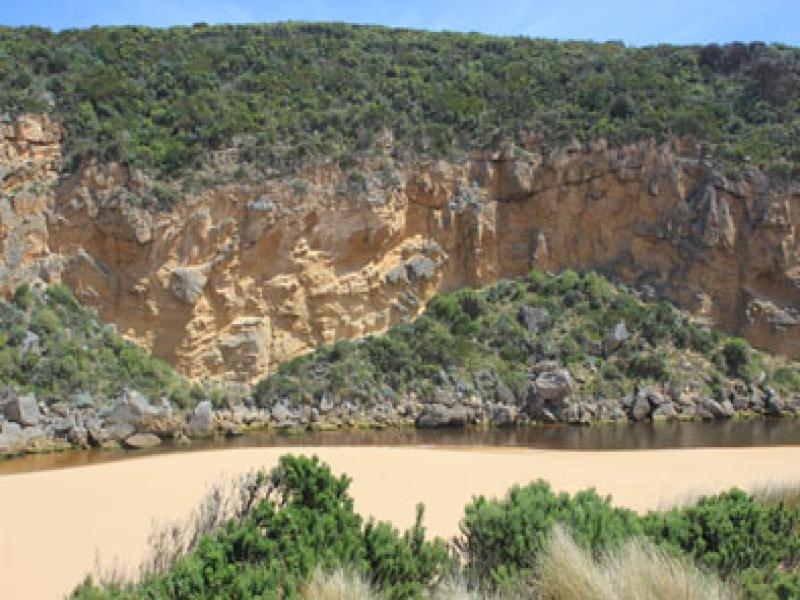
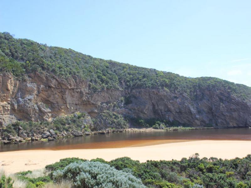
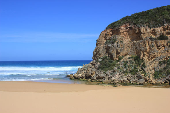
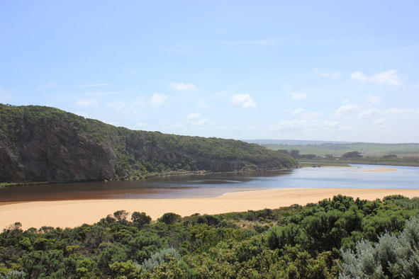
- Reduced outflow only very slight exchange at mouth- mainly returning salt water from small waves entering
- Strong longshore drift across mouth
- large amount of sand visible in breakers
- Beach horseshoe shaped at east end but highest just east of mouth then projecting out to sea on east side of channel
- large amount of sand around rocks -flow only against cliff face
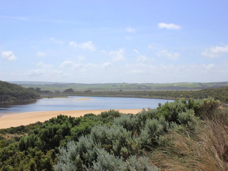
- Channel very shallow & narrow
Mouth Observation
| Mouth state | Open |
|---|---|
| Previous | O O O O O O O O O C C C C O O P C C O O O C C C C C C O O O P C O O O P O O O O O O O O O O O O O O O O O O O O O O O |
| Flow Present? | Yes |
| Previous | Y Y Y Y Y Y Y Y Y N N N N Y Y Y N N Y Y Y N N N N N N Y Y Y Y N Y Y Y N Y Y Y Y Y Y Y Y Y Y Y Y Y Y Y Y Y Y Y Y Y Y |
| Flow Direction | Out |
| Previous | O O O O O O O O N N N N O O I N N O I O N N N N N N O O O I N O O O N O O O O O O I O I O O I O O O O O O O O |
| Above Sea | Above Estuary | |
|---|---|---|
| Berm Height (m) | ||
| Berm Length (m) |
Physical Condition
| Current | Mode | |
|---|---|---|
| Wind Direction | South | |
| Beaufort Scale | Gentle breeze | |
| Sea State | Moderate |


All content, files, data and images provided by the EstuaryWatch Data Portal and Gallery are subject to a Creative Commons Attribution License
Content is made available to be used in any way, and should always attribute EstuaryWatch and www.estuarywatch.org.au