EstuaryWatch Data Portal
GMC Gellibrand River Estuary Mouth Observation Site
7 November 2015
CAUTION: This observation has not yet been reviewed by an EstuaryWatch coordinator.
Observation details
Overview
| Estuary | Gellibrand River Estuary |
|---|---|
| Site | Gellibrand River Estuary Mouth Observation Site |
| Observation ID | #9938 |
| Date and Time | Saturday 7th November 2015 10:20am |
| Approved | Pending |
Notes
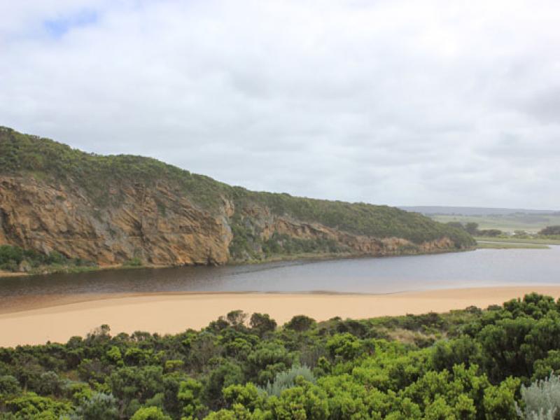
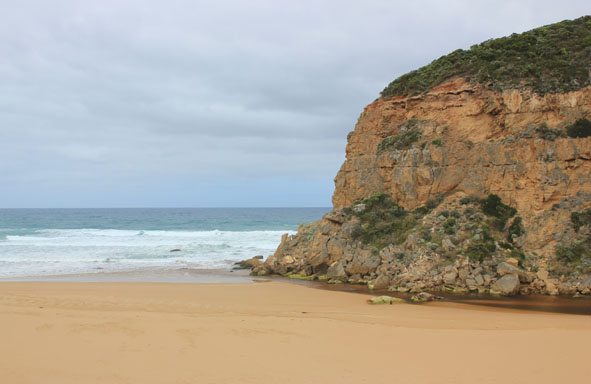
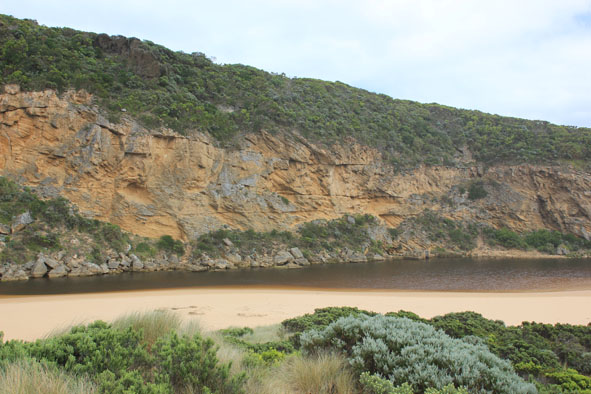
- Slight pale coloured discharge only around mouth & part way along foreshore, strong longshore drift across mouth. Sand visible in breakers directly out from mouth
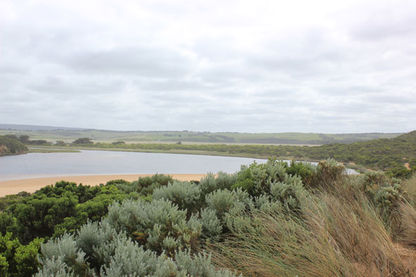
- Increased sand build up in channel & entrance (low flow)
- Last hi tide well up on beach & over high front at mid beach
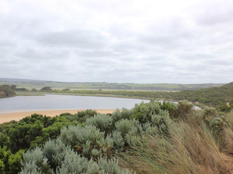
- Water level in estuary higher, some water over small areas on low track where there are many small fish(3-5cm.)
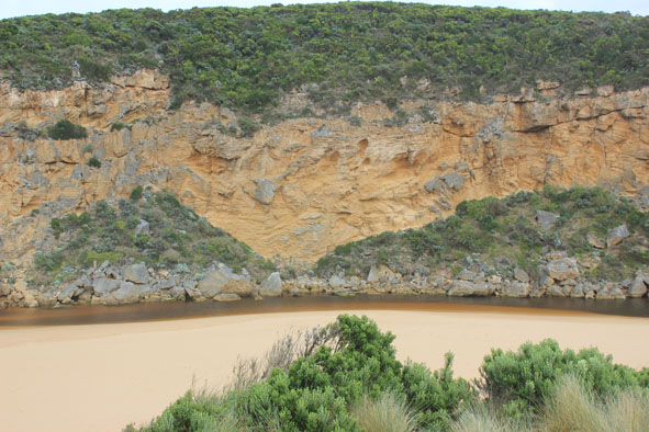
- Large 'floats' of algae have been forced into lower narrow restricted areas also across shallow submerged sand bar & along south side of estuary where it has been partly buried by sand
- East end of beach has more sand & sand cliffs increased in length
- 1000's of millipedes on sand south side of estuary
- Many battered dead moths in swash line along ocean beach(some had 'ladybirds' attached to abdomen under wings)
- 7 Straw necked Ibis, 14 WN Herons, 20WH Herons, 3 Black winged Stilts. Also numerous Swans with young & ducks on wetlands
- Whiskered Terns, Glossy Ibis also observed over past weeks
- Rainfall to 08Nov. 16ml.
- AHD G6 0.84 @ 09:19 (Higher total rain recorded up stream)
Mouth Observation
| Mouth state | Open |
|---|---|
| Previous | O O O O O O C C C C O O P C C O O O C C C C C C O O O P C O O O P O O O O O O O O O O O O O O O O O O O O O O O O O O |
| Flow Present? | Yes |
| Previous | Y Y Y Y Y Y N N N N Y Y Y N N Y Y Y N N N N N N Y Y Y Y N Y Y Y N Y Y Y Y Y Y Y Y Y Y Y Y Y Y Y Y Y Y Y Y Y Y Y Y Y |
| Flow Direction | Out |
| Previous | O O O O O N N N N O O I N N O I O N N N N N N O O O I N O O O N O O O O O O I O I O O I O O O O O O O O O O O |
| Above Sea | Above Estuary | |
|---|---|---|
| Berm Height (m) | ||
| Berm Length (m) |
Physical Condition
| Current | Mode | |
|---|---|---|
| Wind Direction | South | |
| Beaufort Scale | Moderate breeze | |
| Sea State | Rough |


All content, files, data and images provided by the EstuaryWatch Data Portal and Gallery are subject to a Creative Commons Attribution License
Content is made available to be used in any way, and should always attribute EstuaryWatch and www.estuarywatch.org.au