EstuaryWatch Data Portal
Overview
| Estuary name | Powlett River Estuary |
|---|---|
| CMA | West Gippsland CMA |
| Description |
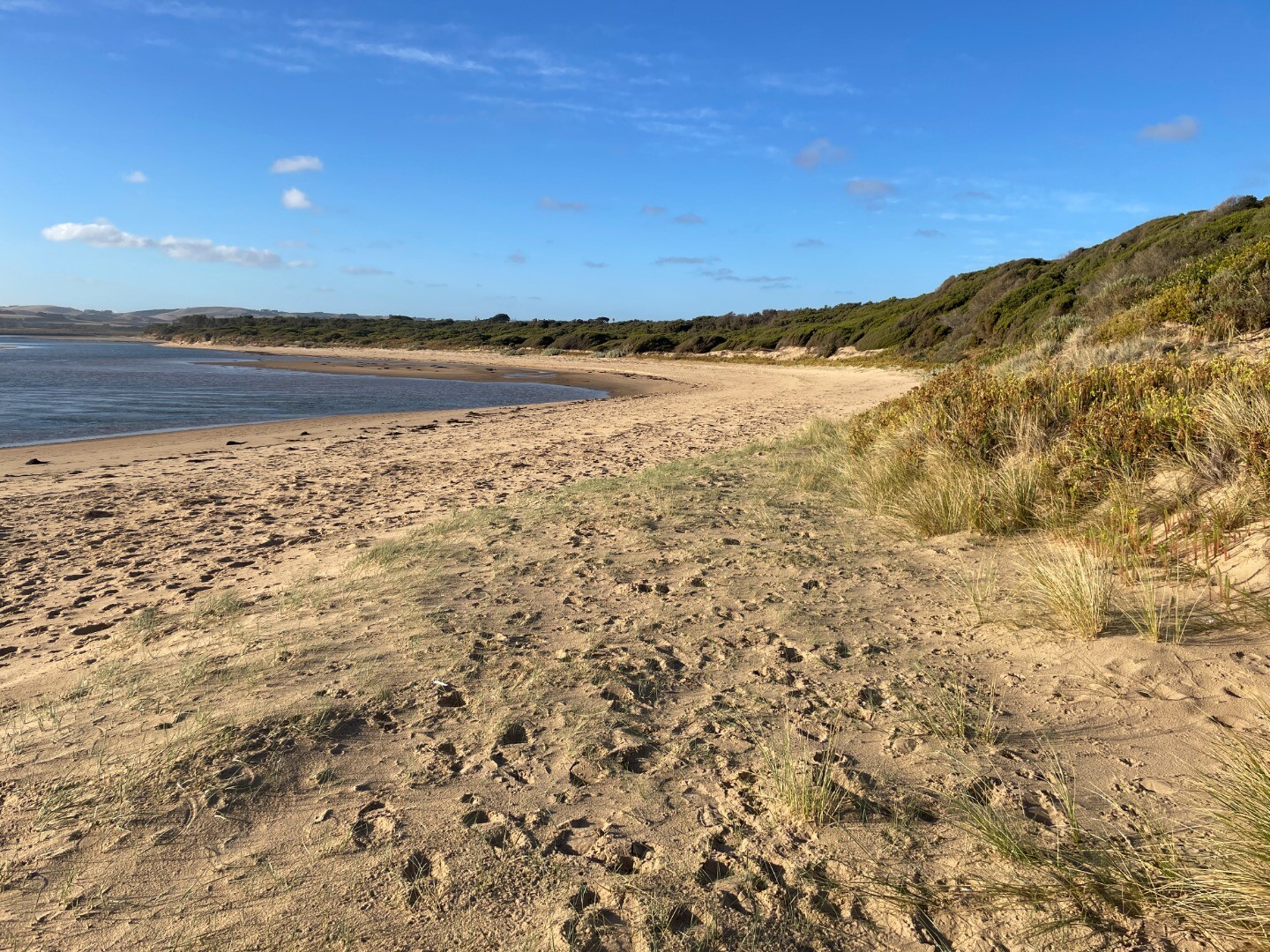
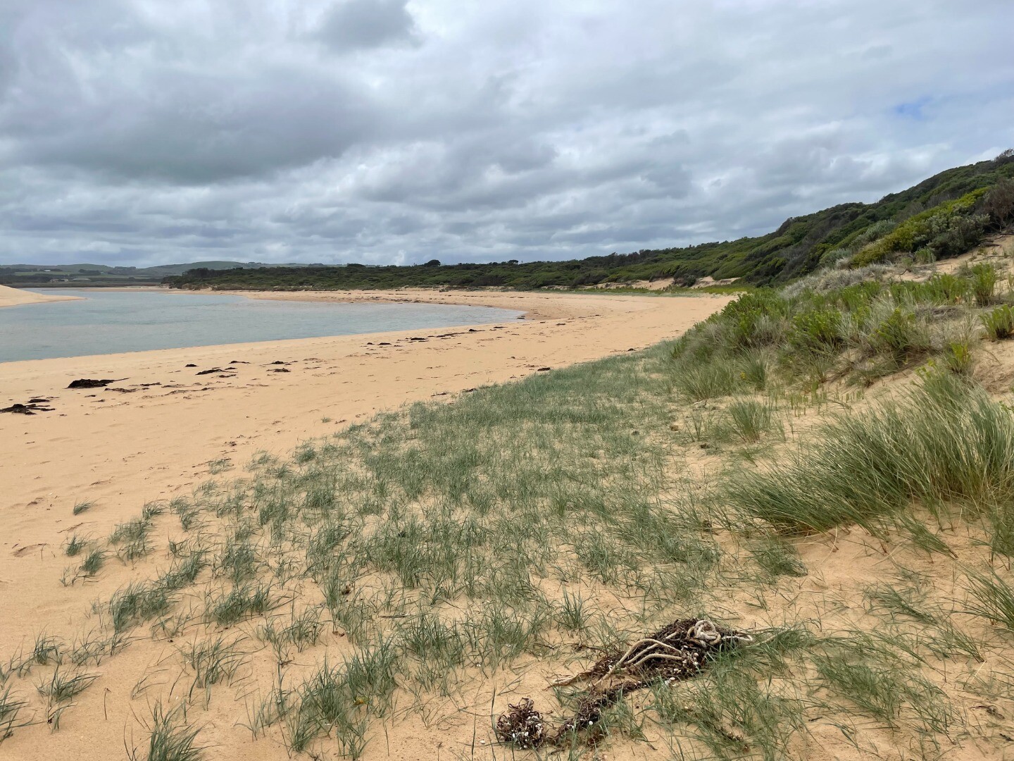
The Powlett River Estuary is approximately 8km in length with a catchment area of 67.77km2. There are a number of bridges, roads and carparks in the area, that provide access to the estuary. |
| Estuary Values |
|
| Estuary Threats |
|
| Data | Site observations |
| Status | Active |
| Monitor group | |
| Document | Powlett_River_EMP_section1.pdf |
| Document | Powlett_River_EMP_section2.pdf |
| Document | WGCMA_PowlettRiver_EMP_summary.pdf |
| Document | WGCMA_PowlettRiver_Threats.pdf |
| Document | WGCMA_PowlettRiver_Values.pdf |
Sites
| Site details | Options |
|---|---|
Po1 Site one (Estuary Mouth)Inactive Physico-Chemical 31-03-2010 - 09-06-2013Middle of the estuary directly opposite the Powlett River Caravan Park and Mouth of the Powlett Carpark (site accessed in kayak). |
Observations 5 |
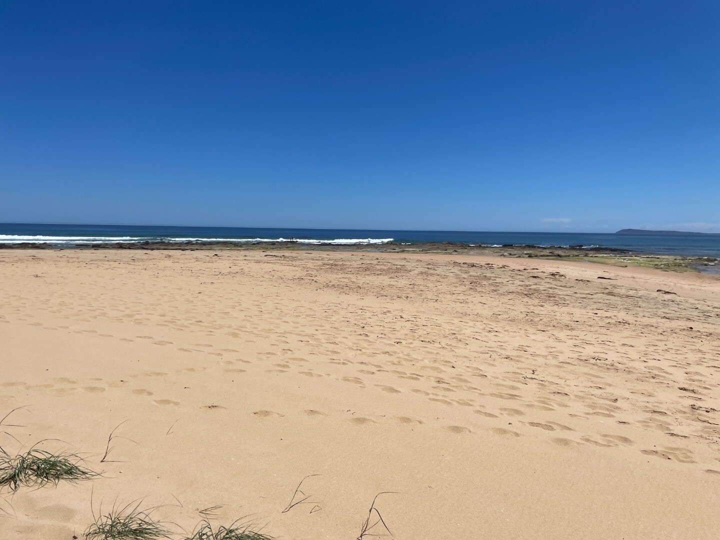
Po2 Site two (Mouth of Powlett Road Bridge)Active Physico-Chemical 13-03-2010 - 27-03-2024Ocean side of Mouth of Powlett Road Bridge, in between the 6th and 7th reflector when coming from the Kilcunda side of bridge (approx halfway). |
Observations 225 |
Po3 Site three (Bridge Creek)Inactive Physico-Chemical 31-03-2010 - 14-04-2012Monitoring is conducted from a kayak at the point where Bridge Creek (tributary) meets the Powlett River. |
Observations 13 |
Po4 Site four (Old Town Drain)Inactive Physico-Chemical 29-11-2010 - 14-04-2012Site located in the middle of the river, directly opposite the old fence found on the upstream side of the old town drain. |
Observations 8 |
Po5 Site five (Daly Bridge)Active Physico-Chemical 01-04-2010 - 27-03-2024Pedestrian bridge located at the end of Daly Street. This bridge crosses the Powlett River, and is part of the Kilcunda Rail Trail. |
Observations 172 |
Po6 Site six (Fishing Hole)Inactive Physico-Chemical 05-04-2010 - 01-07-2014Second bend in river inland of Bass Hwy Bridge. |
Observations 32 |
PoGB Powlett River Water Level Gauge BoardActive Gauge BoardThis sites water level monitoring gauge board is located on the western river bank beside the Mouth of Powlett Road Bridge (downstream side). |
|
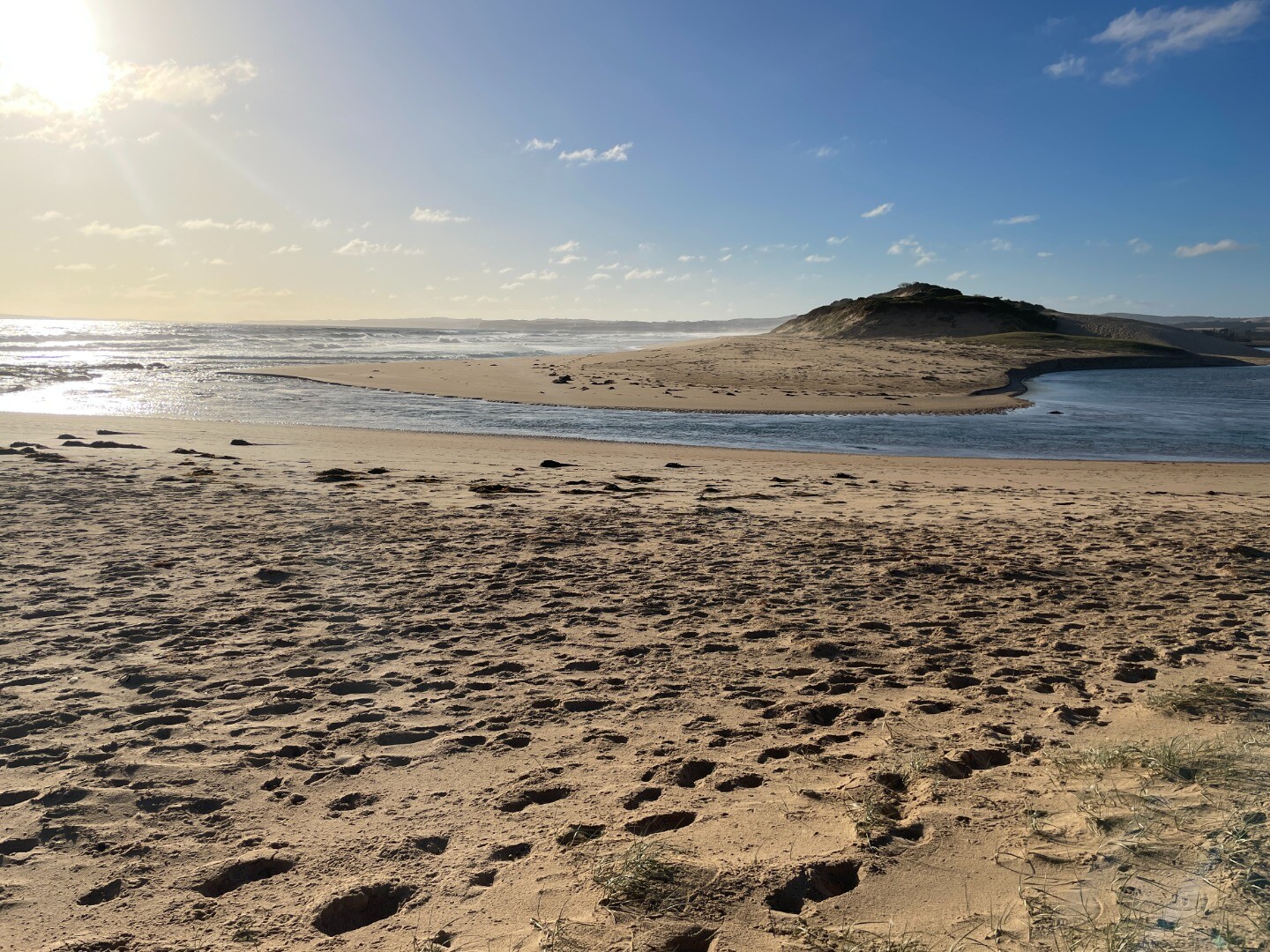
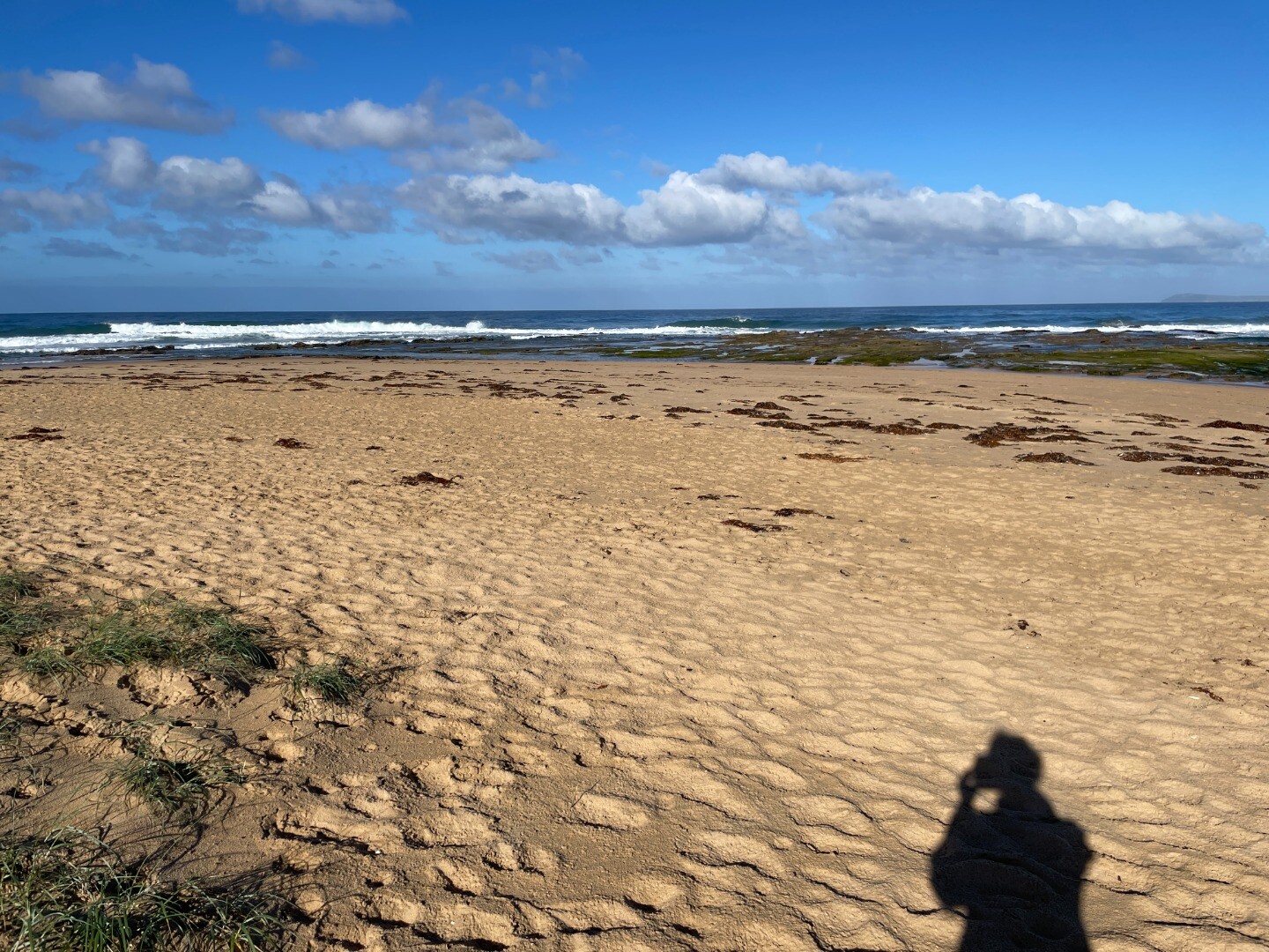
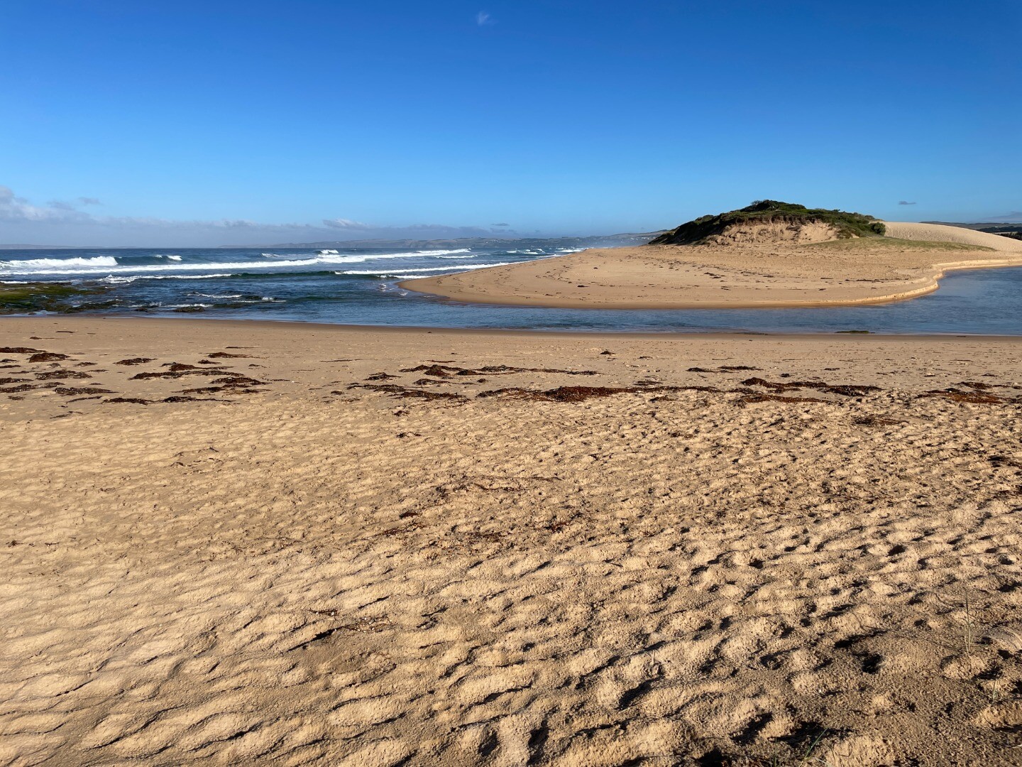
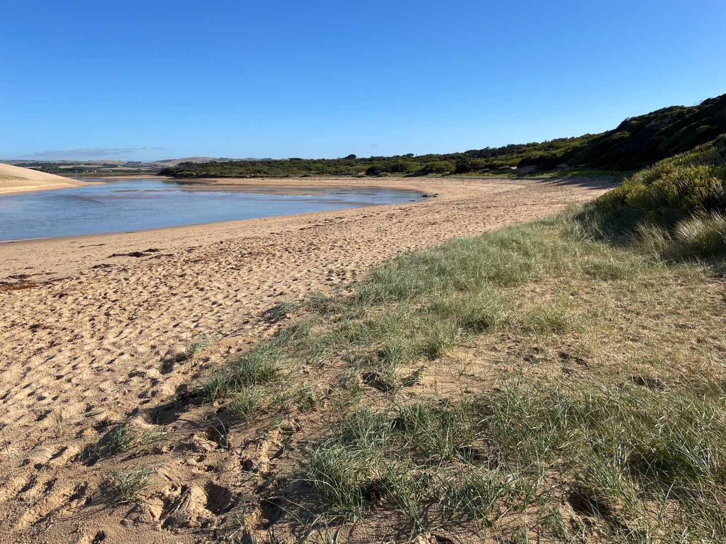
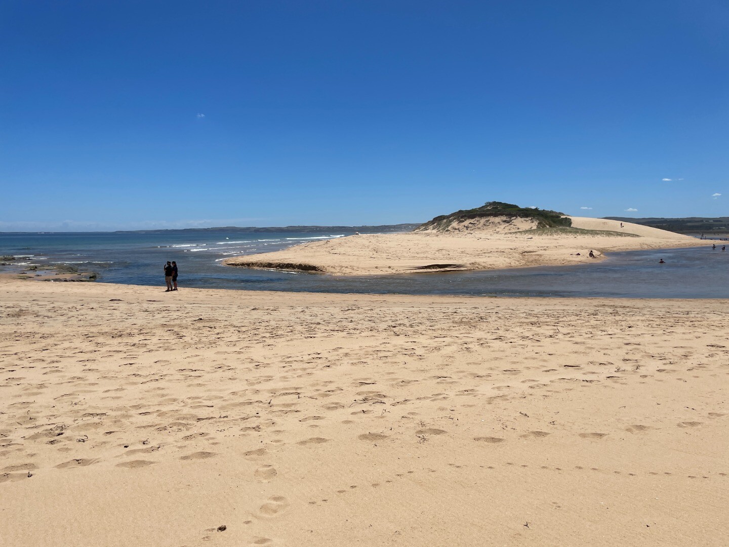
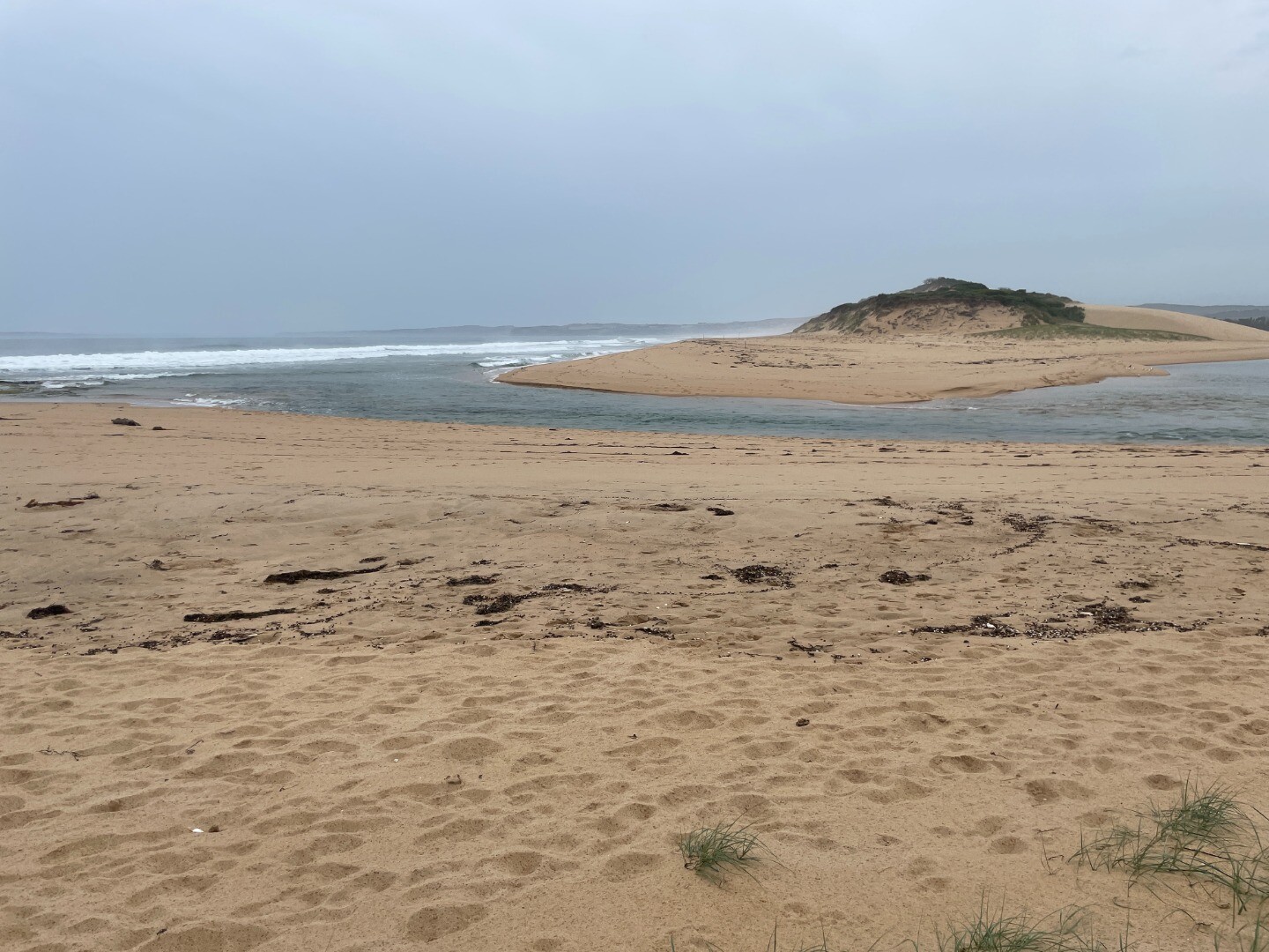
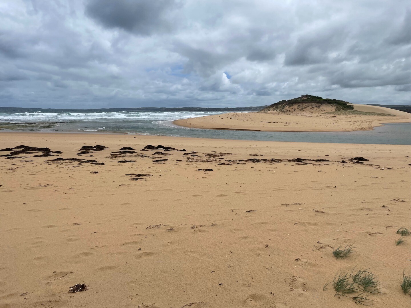
PoMC Powlett River Mouth Condition Observation SiteActive Mouth Condition 13-03-2010 - 12-04-2024Rocky platform located on eastern side of the river mouth. |
Observations 255 |
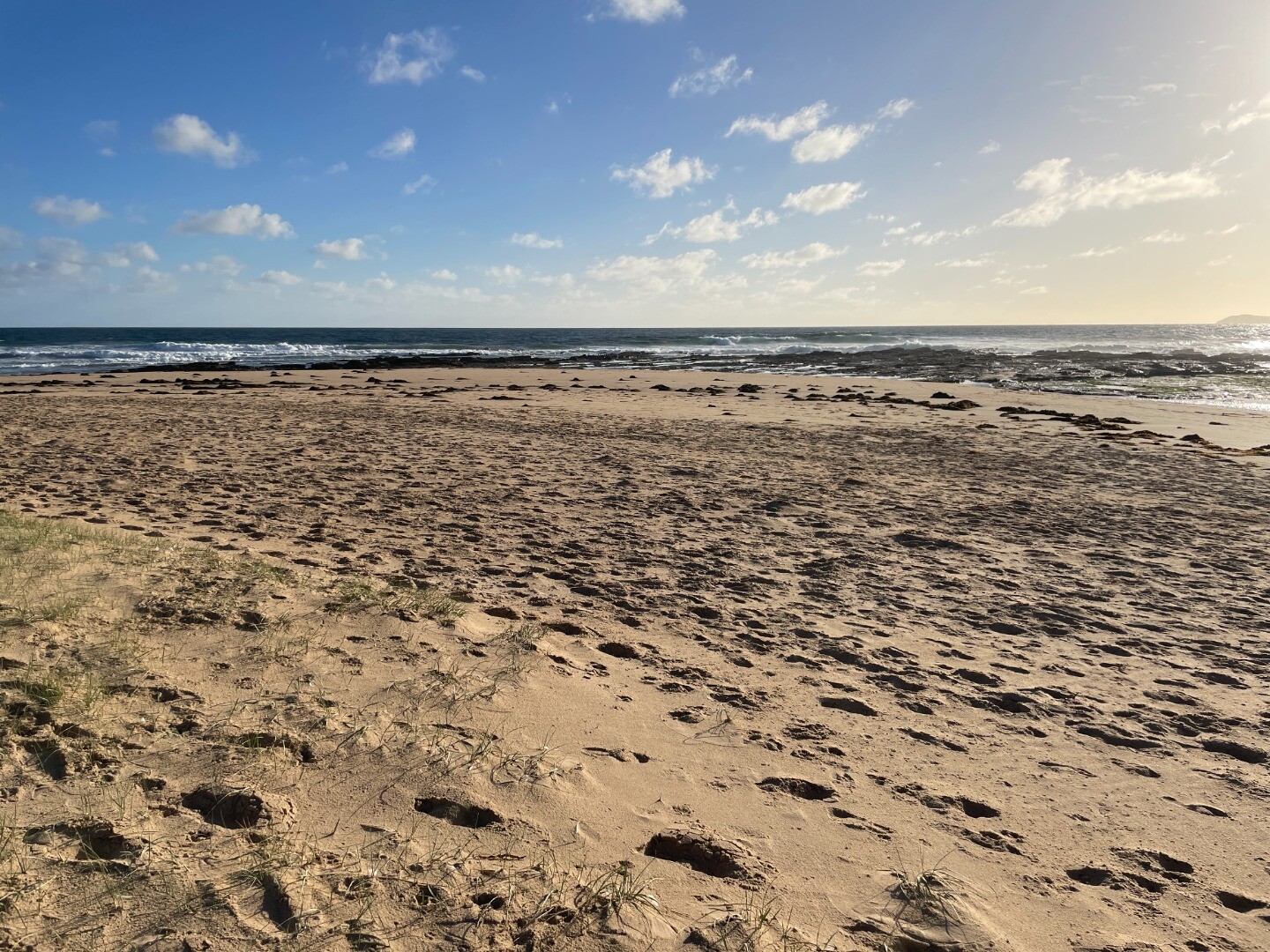
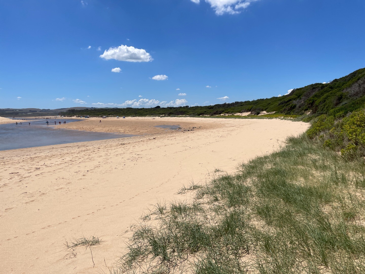
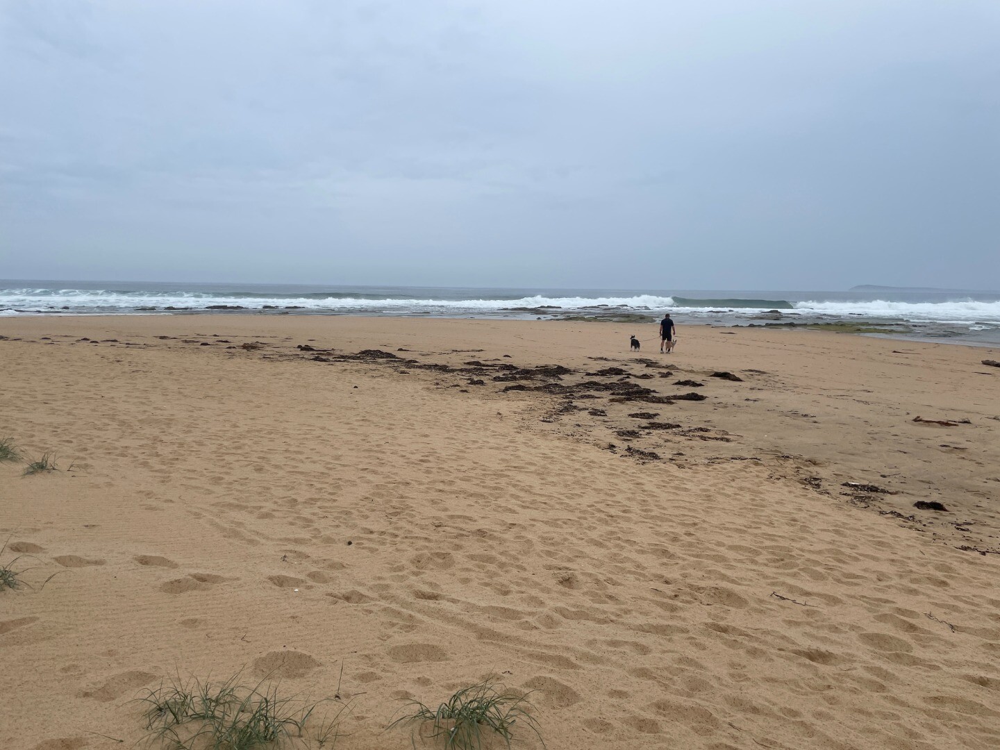
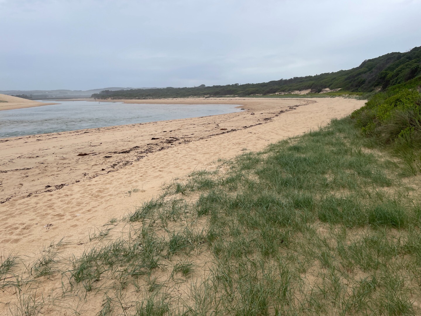
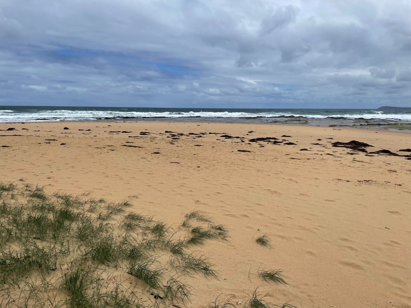
Pop1 Powlett River Photopoint Site OneActive Photopoint 16-12-2012 - 18-04-2024Sand dune located on the eastern side of the river, approx 70 metres from ocean waters edge. |
Photos 745 |
Estuary Snapshots
The EstuaryWatch snapshots provide a summary of estuary condition on a particular day. For all EstuaryWatch Snapshots, photopoint photos and a longitudinal water quality profile from the estuary mouth to the inland extent is displayed. Read more
Autumn 2024
Summer 2024
Spring 2023
Winter 2023
Autumn 2023

All content, files, data and images provided by the EstuaryWatch Data Portal and Gallery are subject to a Creative Commons Attribution License
Content is made available to be used in any way, and should always attribute EstuaryWatch and www.estuarywatch.org.au