EstuaryWatch Data Portal
Overview
| Estuary name | Powlett River Estuary |
|---|---|
| CMA | West Gippsland CMA |
| Description |
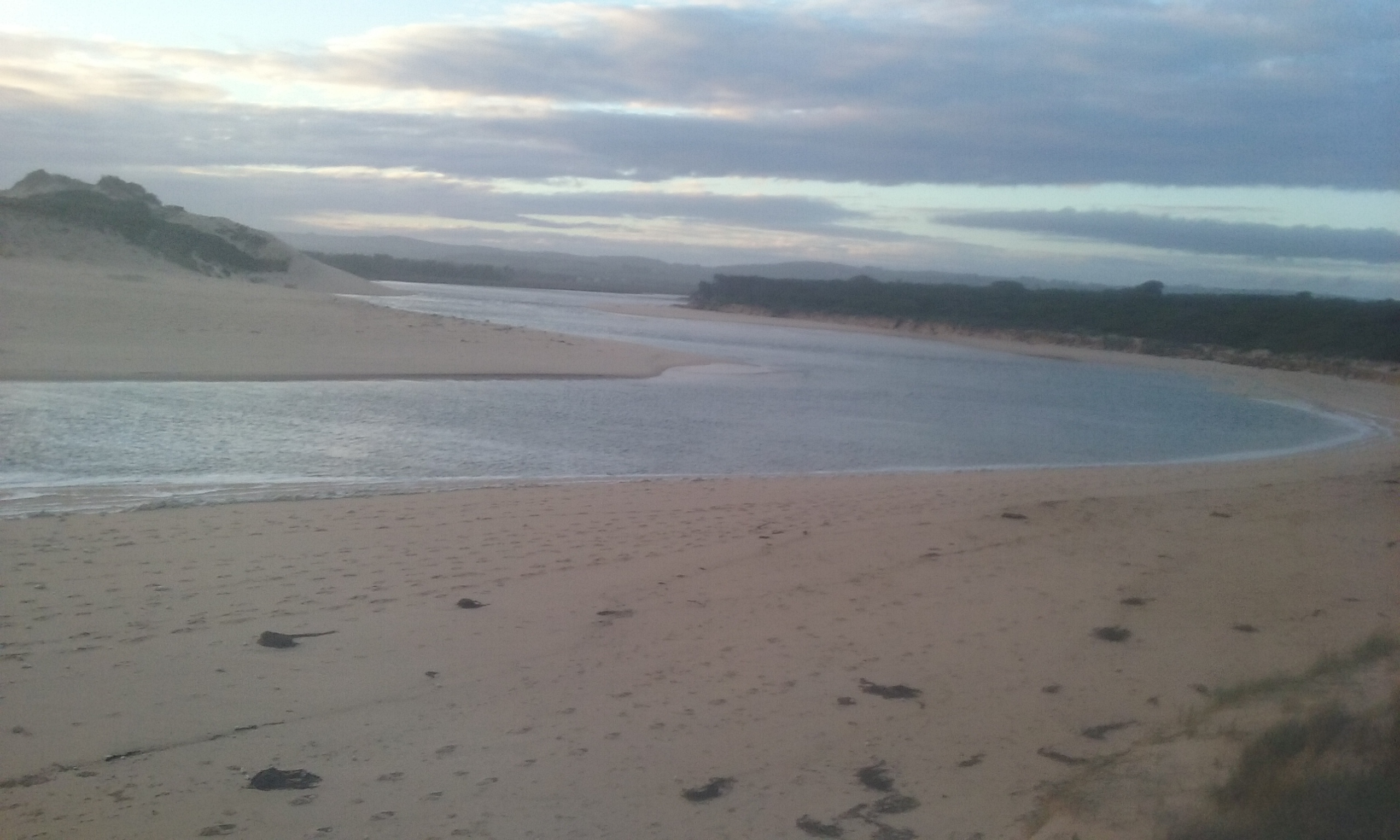
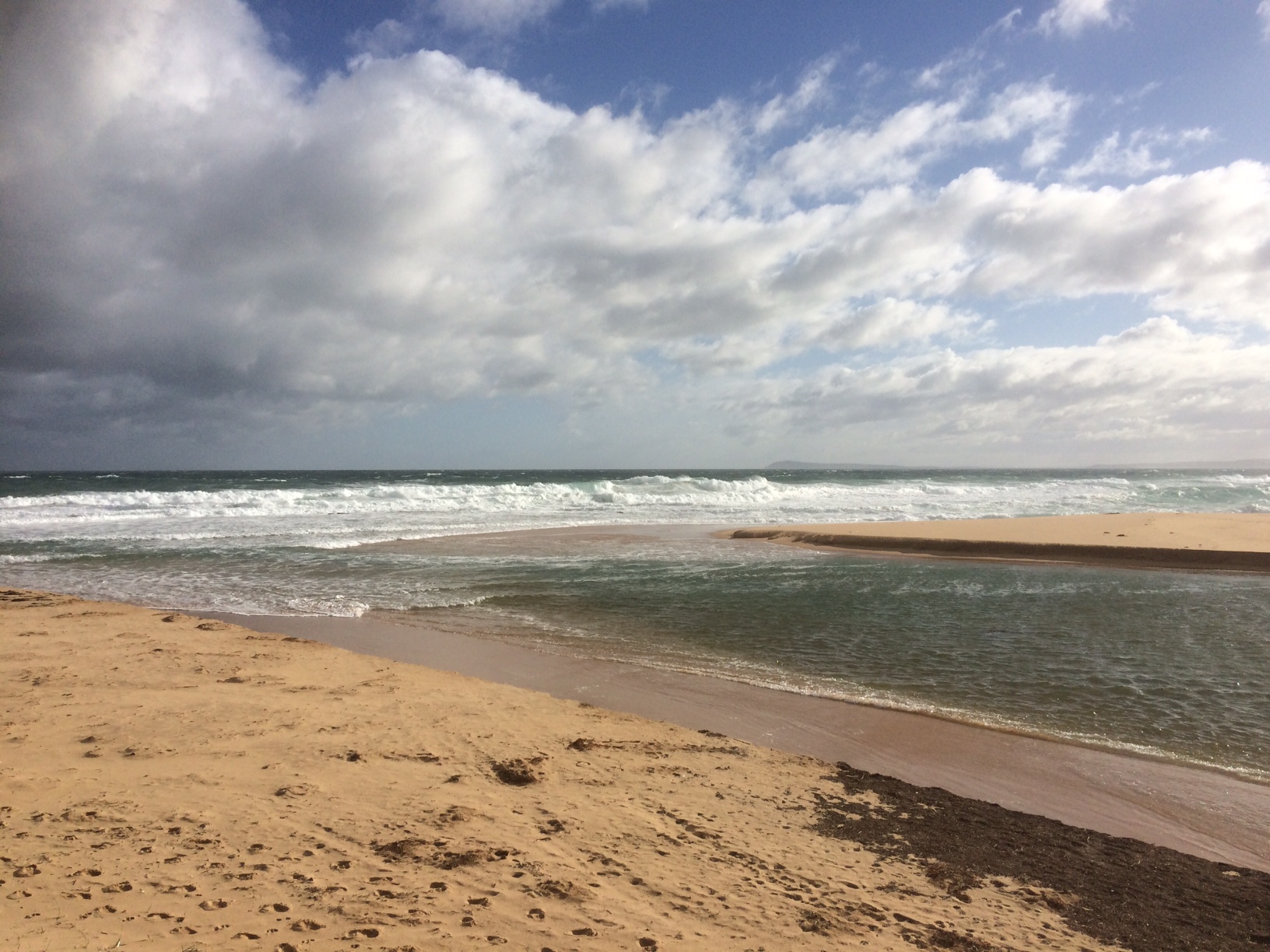
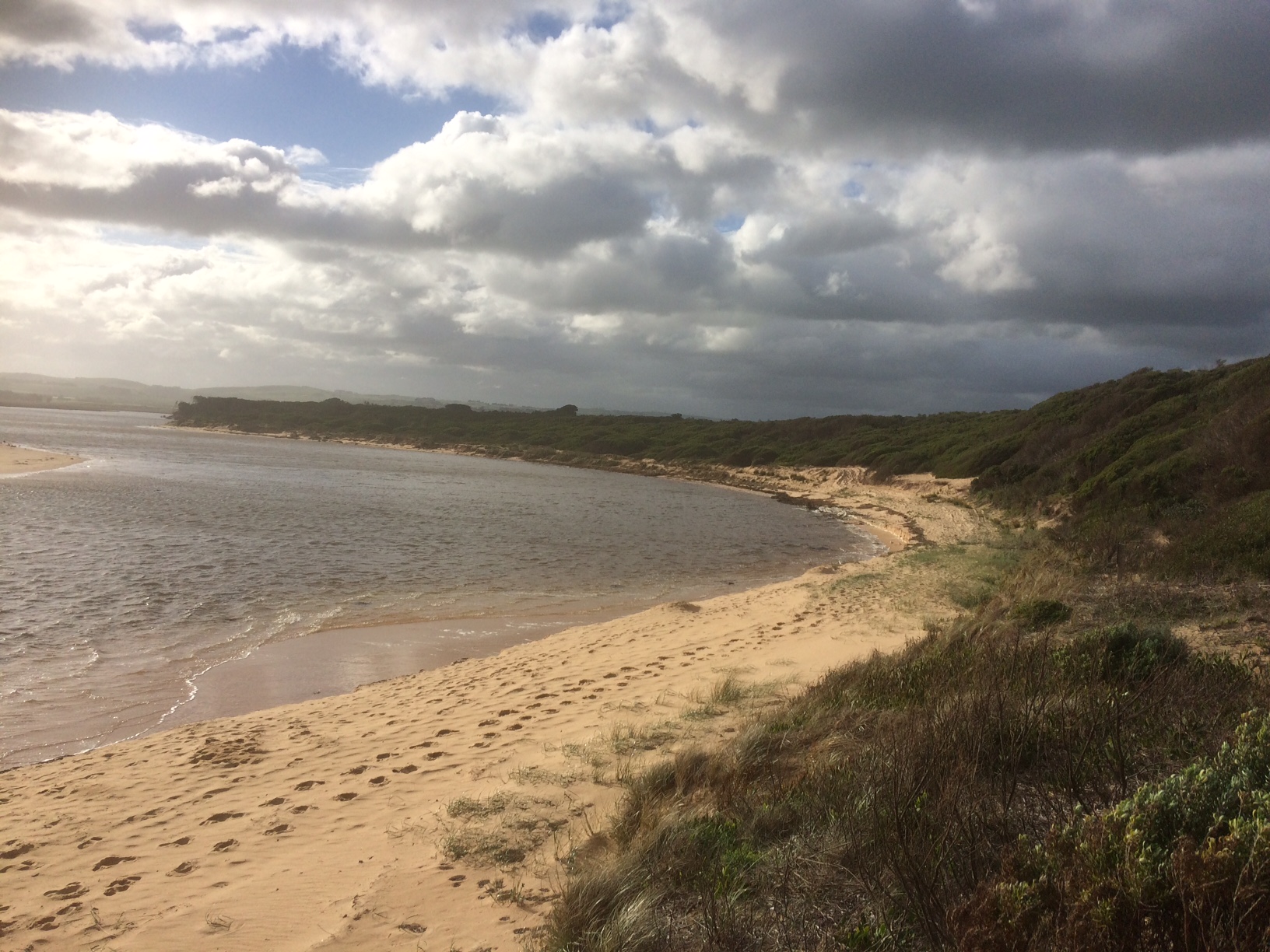
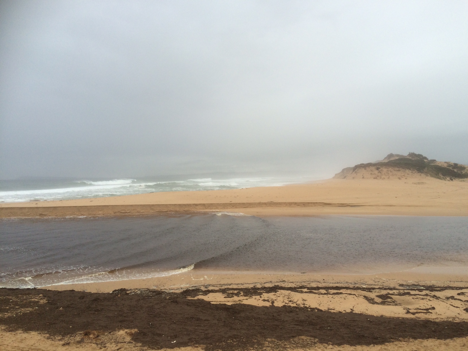
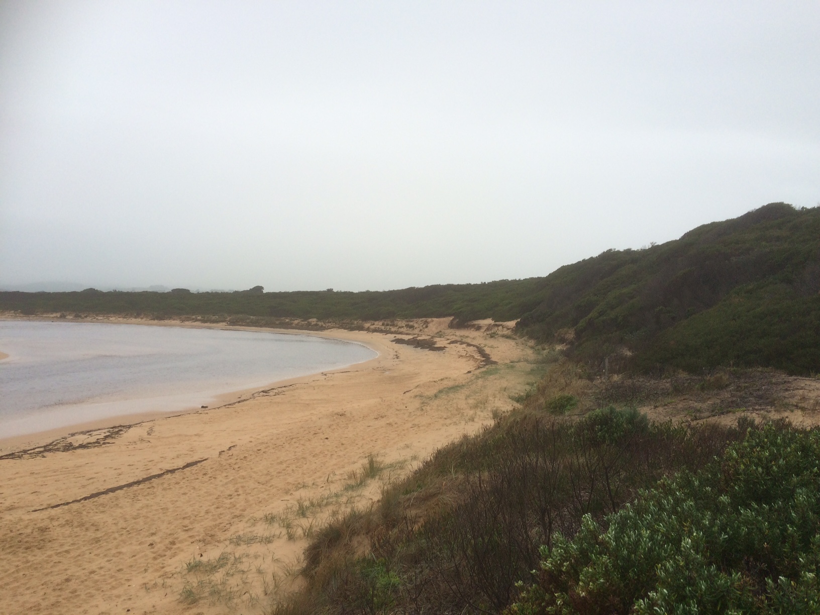
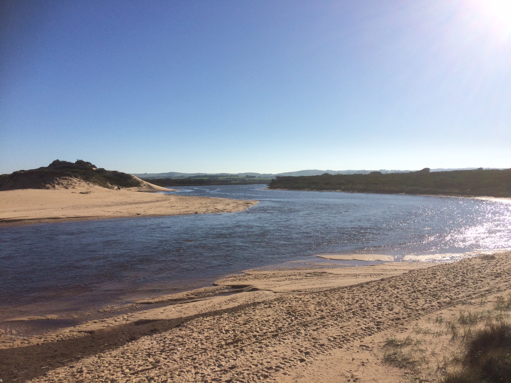
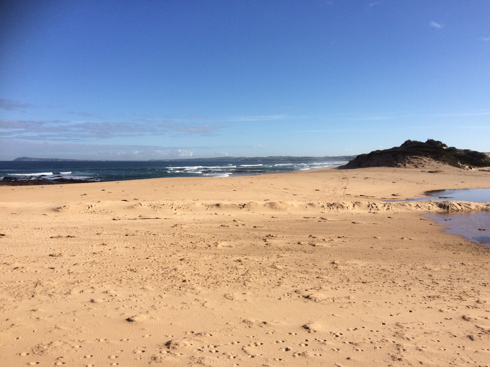
The Powlett River Estuary is approximately 8km in length with a catchment area of 67.77km2. There are a number of bridges, roads and carparks in the area, that provide access to the estuary. |
| Estuary Values |
|
| Estuary Threats |
|
| Data | Site observations |
| Status | Active |
| Monitor group | |
| Document | Powlett_River_EMP_section1.pdf |
| Document | Powlett_River_EMP_section2.pdf |
| Document | WGCMA_PowlettRiver_EMP_summary.pdf |
| Document | WGCMA_PowlettRiver_Threats.pdf |
| Document | WGCMA_PowlettRiver_Values.pdf |
Sites
| Site details | Options |
|---|---|
Po1 Site one (Estuary Mouth)Inactive Physico-Chemical 31-03-2010 - 09-06-2013Middle of the estuary directly opposite the Powlett River Caravan Park and Mouth of the Powlett Carpark (site accessed in kayak). |
Observations 5 |
Po2 Site two (Mouth of Powlett Road Bridge)Active Physico-Chemical 13-03-2010 - 27-03-2024Ocean side of Mouth of Powlett Road Bridge, in between the 6th and 7th reflector when coming from the Kilcunda side of bridge (approx halfway). |
Observations 225 |
Po3 Site three (Bridge Creek)Inactive Physico-Chemical 31-03-2010 - 14-04-2012Monitoring is conducted from a kayak at the point where Bridge Creek (tributary) meets the Powlett River. |
Observations 13 |
Po4 Site four (Old Town Drain)Inactive Physico-Chemical 29-11-2010 - 14-04-2012Site located in the middle of the river, directly opposite the old fence found on the upstream side of the old town drain. |
Observations 8 |
Po5 Site five (Daly Bridge)Active Physico-Chemical 01-04-2010 - 27-03-2024Pedestrian bridge located at the end of Daly Street. This bridge crosses the Powlett River, and is part of the Kilcunda Rail Trail. |
Observations 172 |
Po6 Site six (Fishing Hole)Inactive Physico-Chemical 05-04-2010 - 01-07-2014Second bend in river inland of Bass Hwy Bridge. |
Observations 32 |
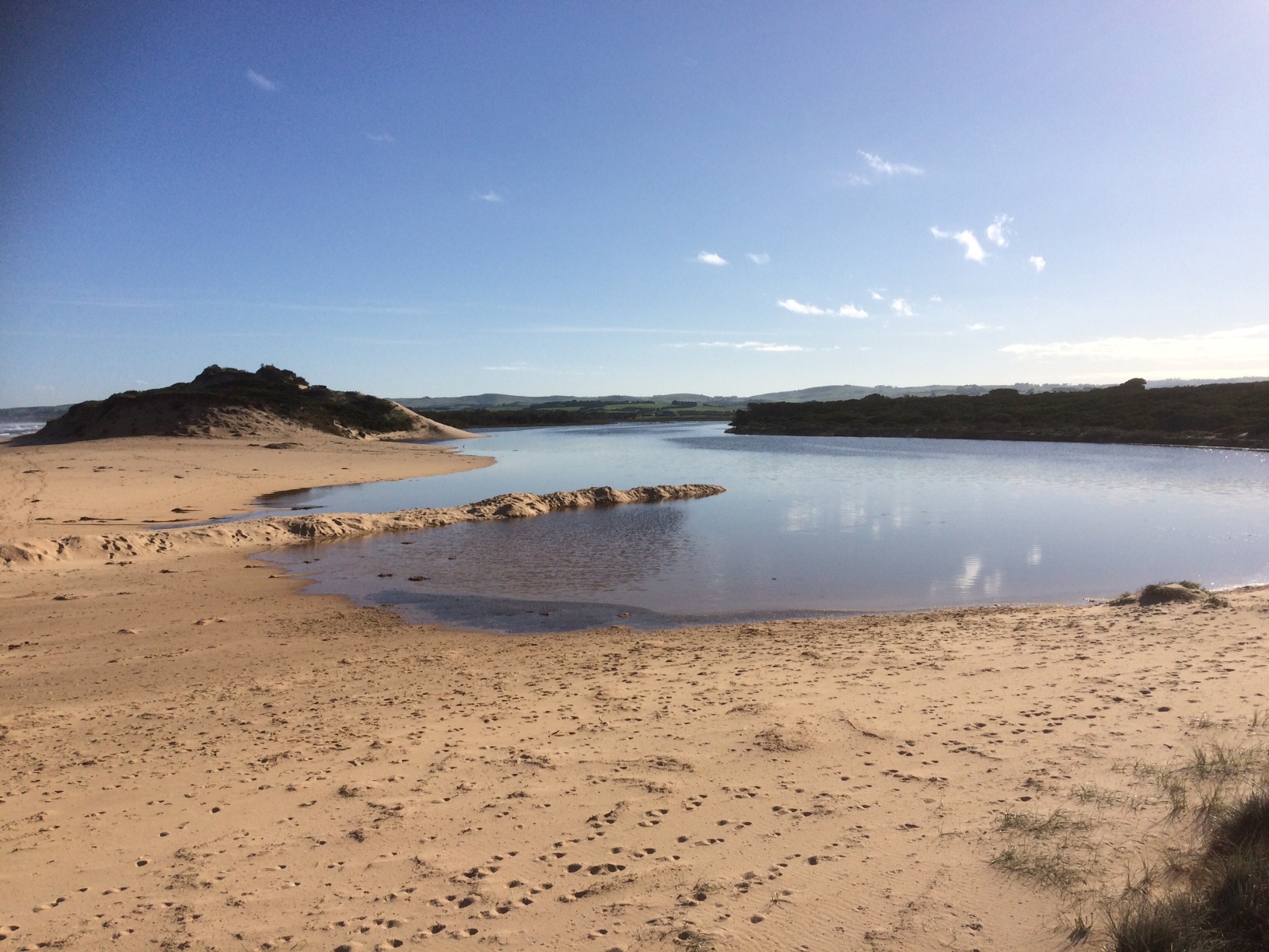
PoGB Powlett River Water Level Gauge BoardActive Gauge BoardThis sites water level monitoring gauge board is located on the western river bank beside the Mouth of Powlett Road Bridge (downstream side). |
|
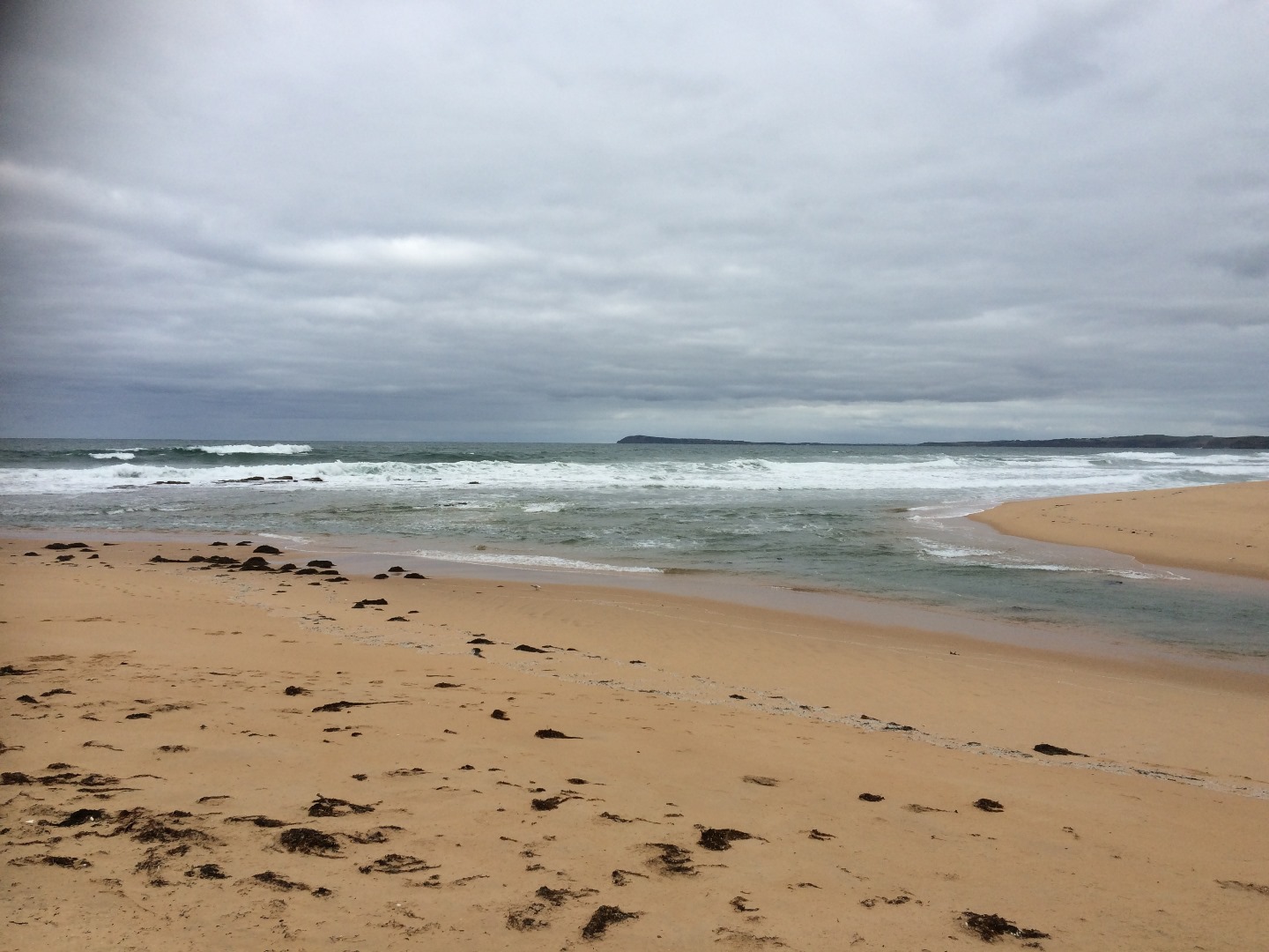
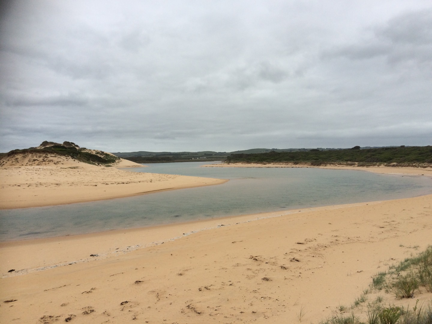
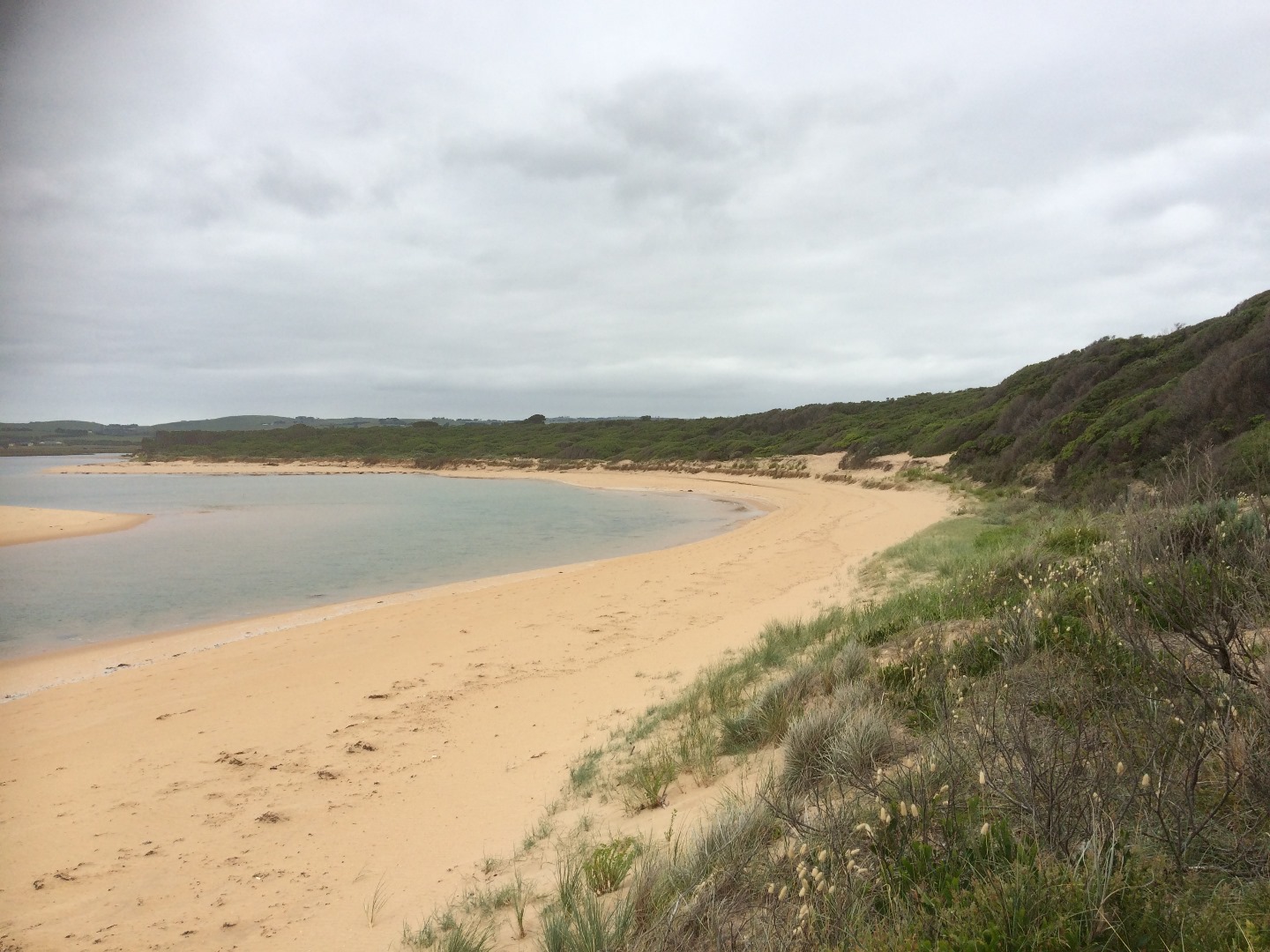
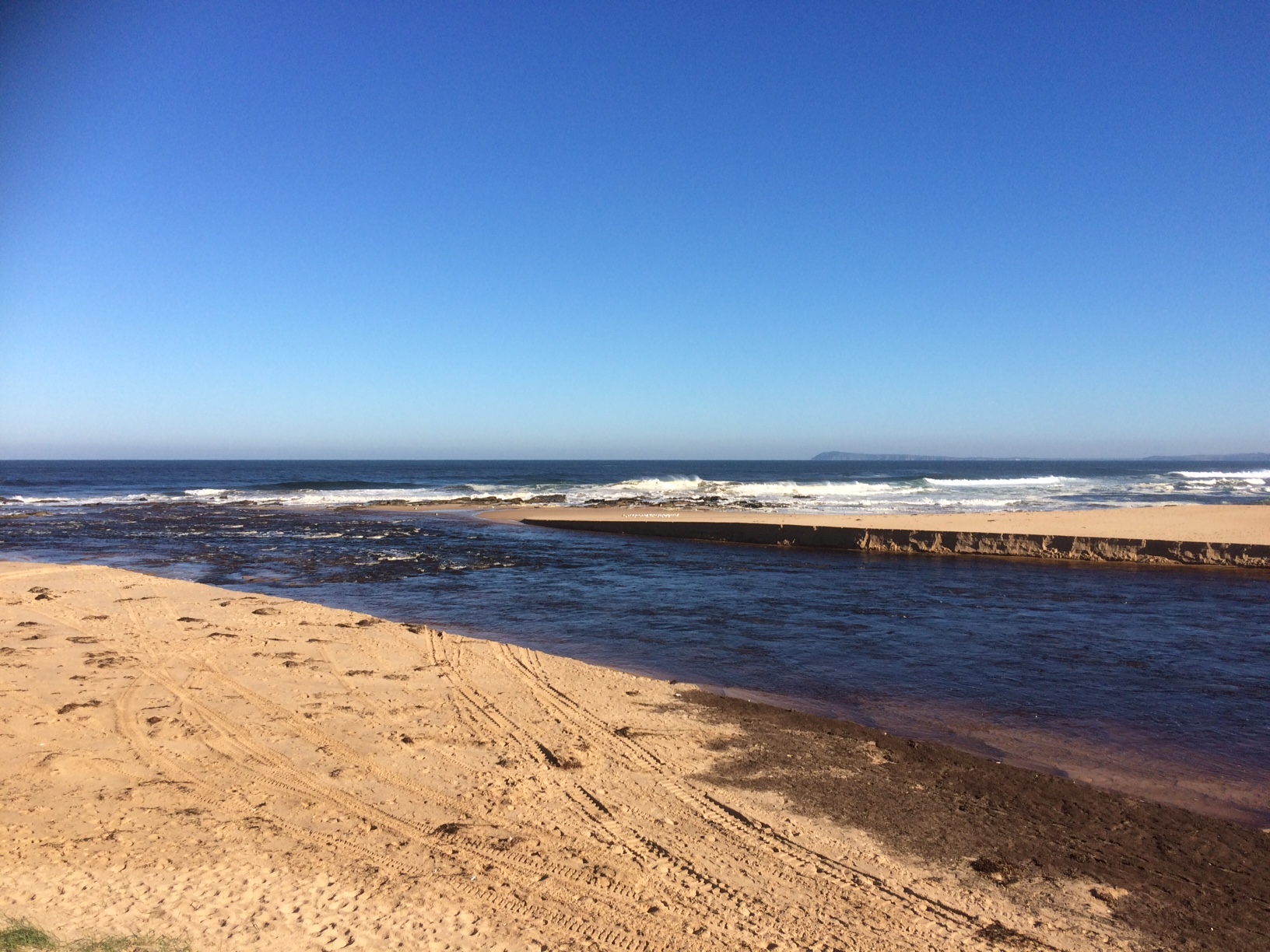
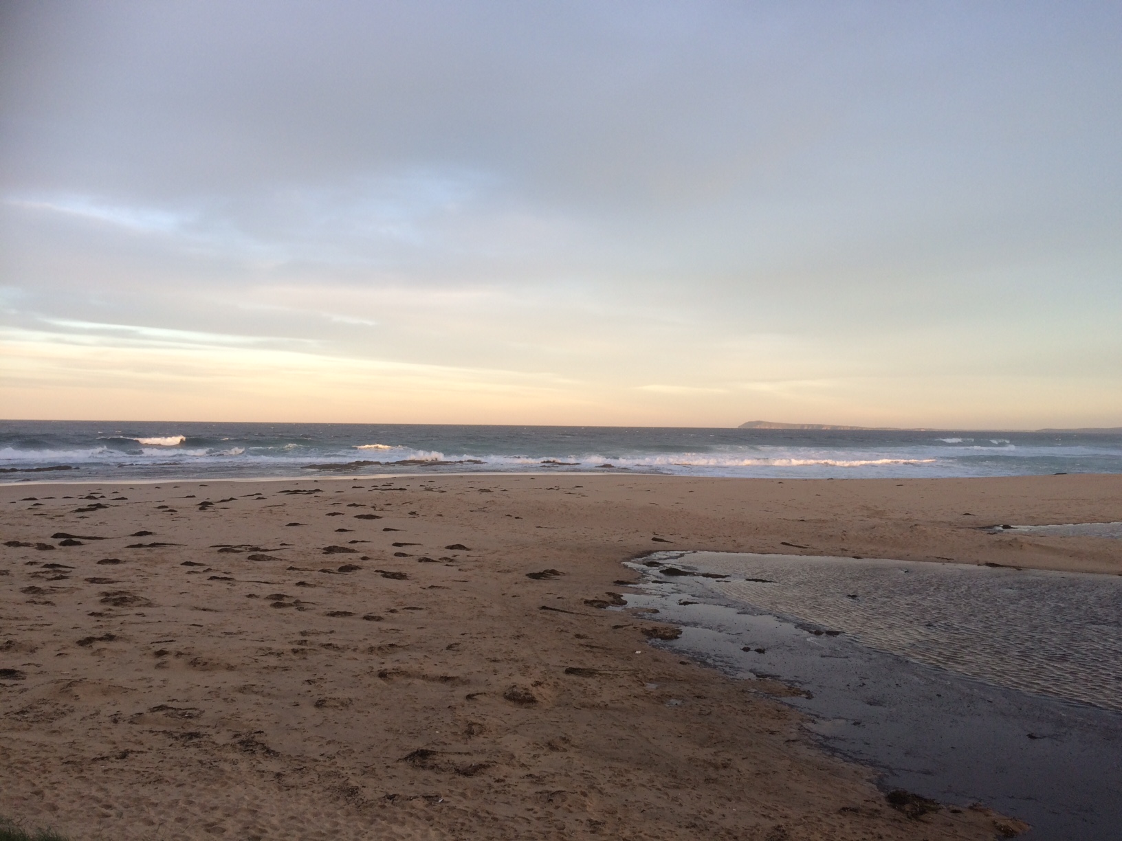
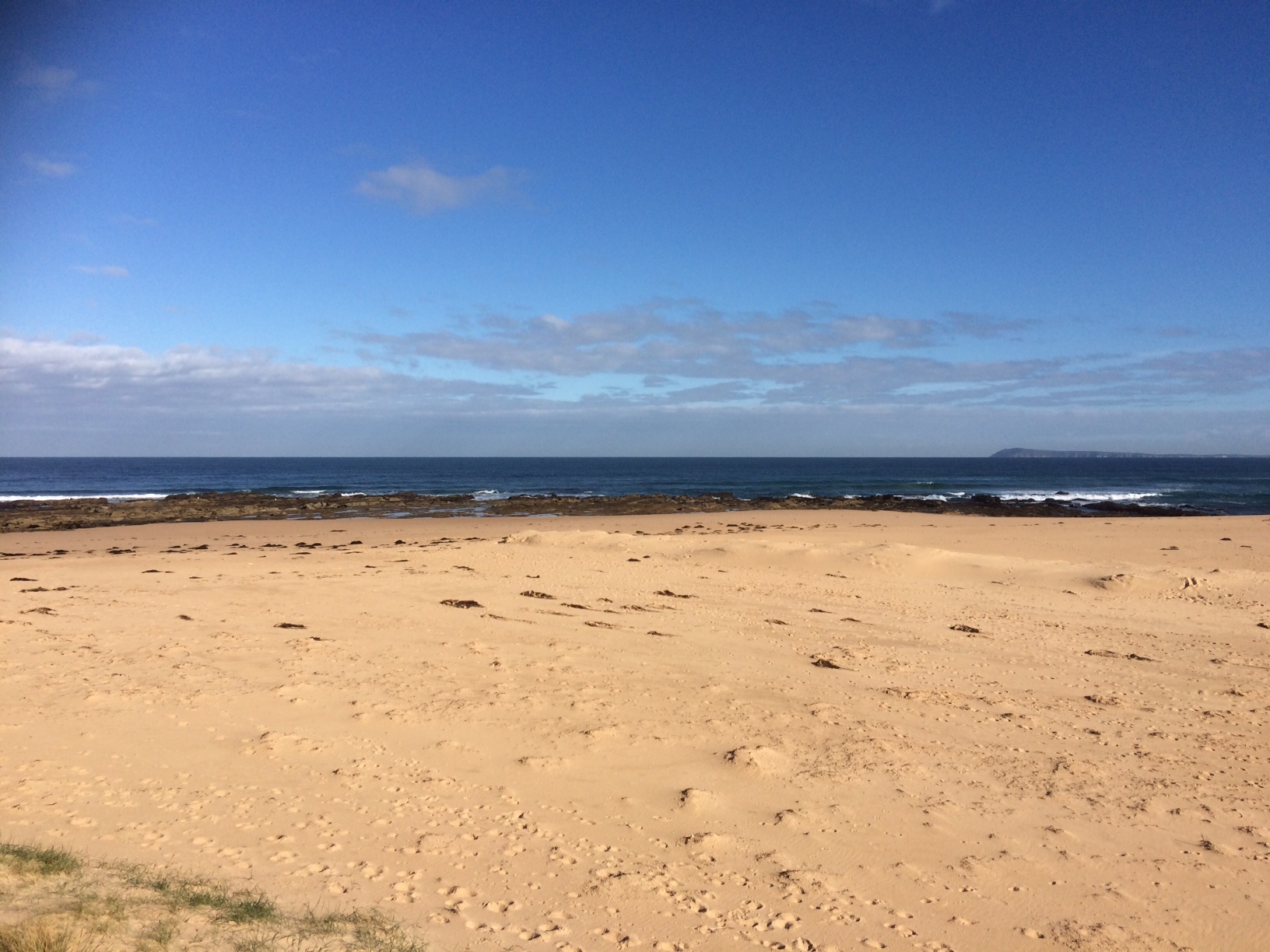
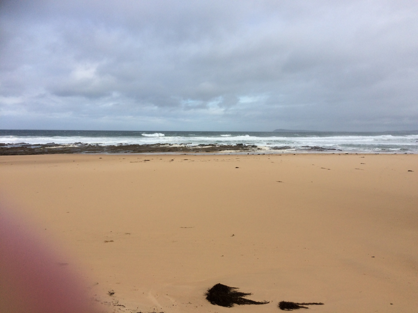
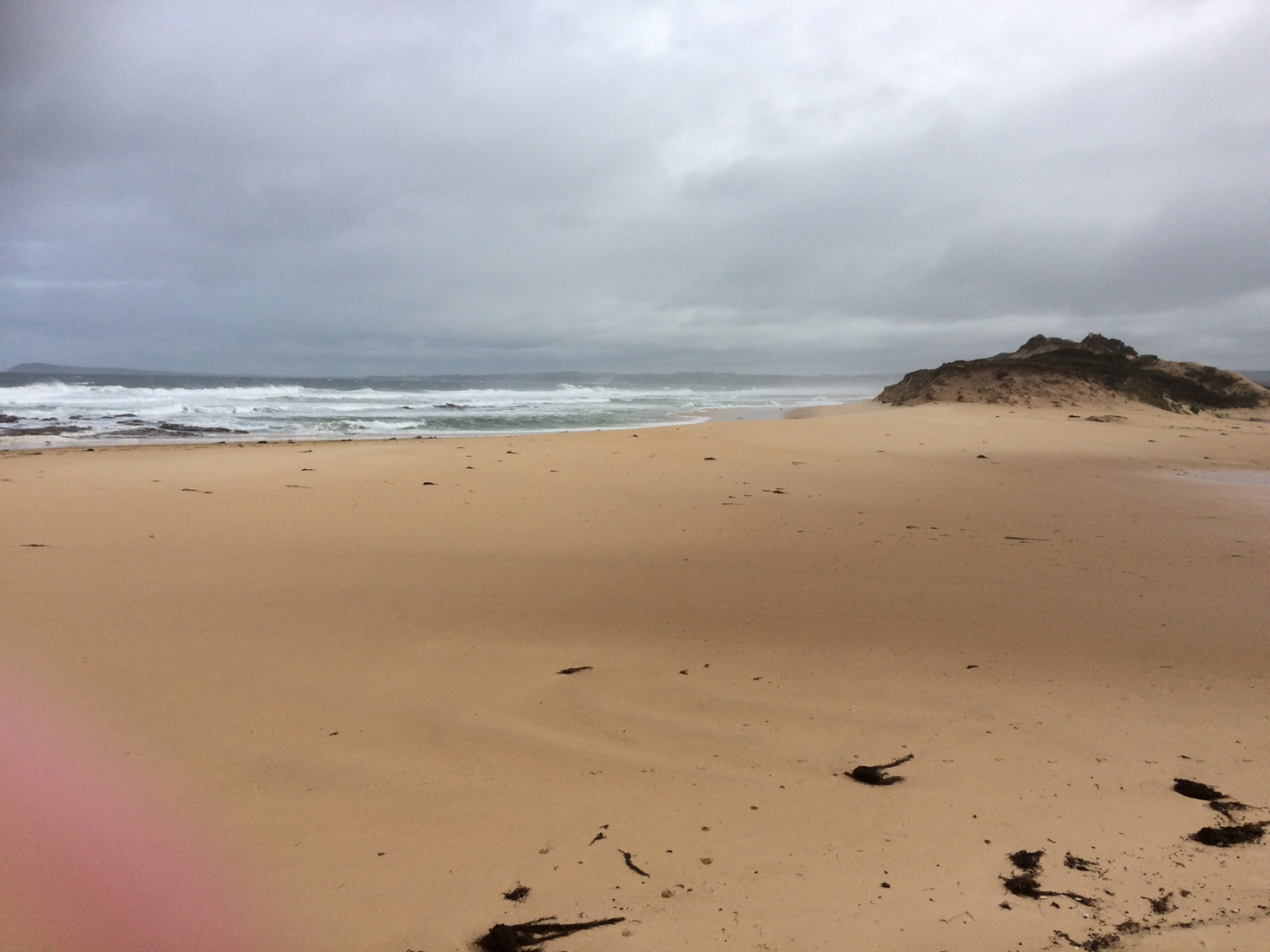
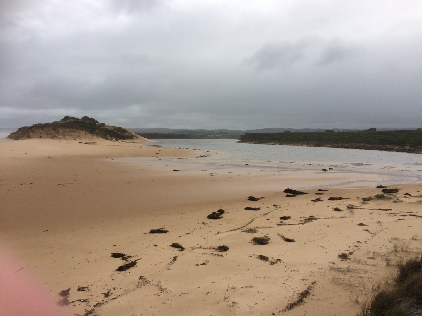
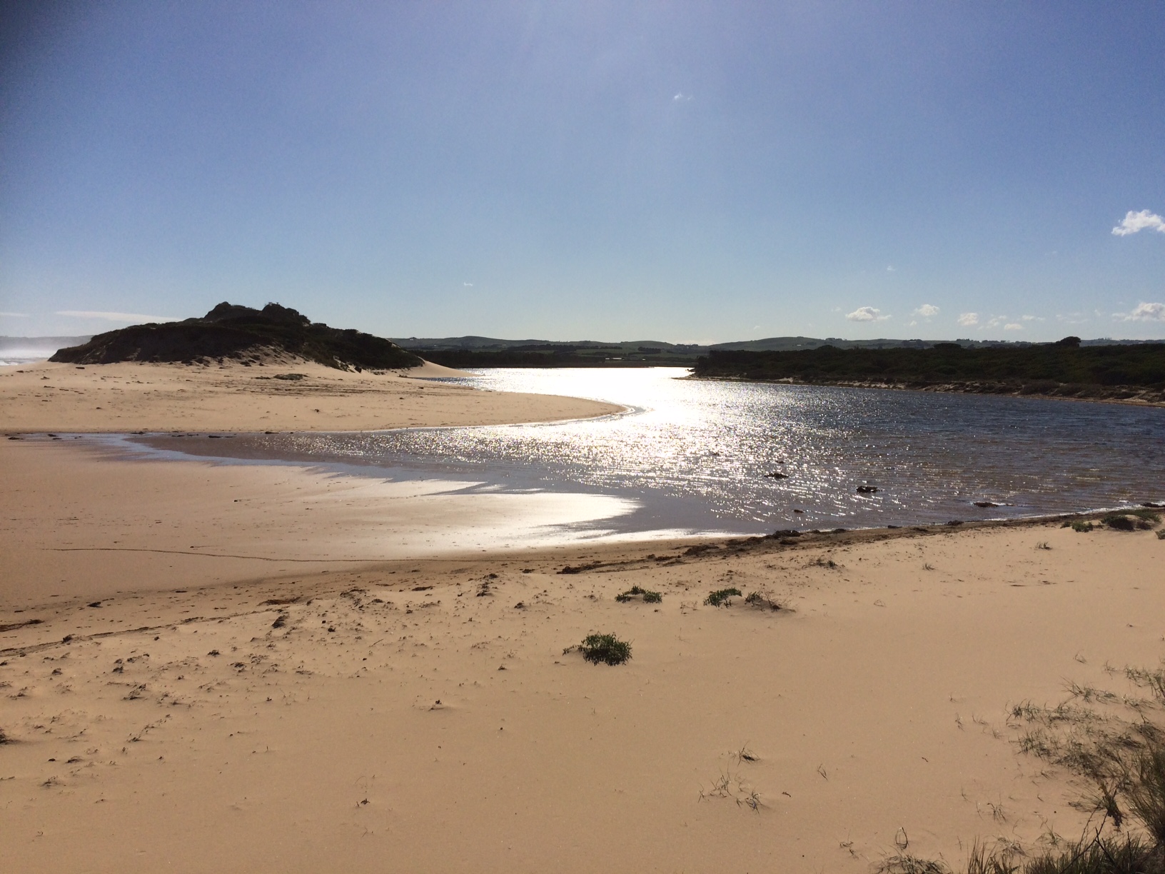
PoMC Powlett River Mouth Condition Observation SiteActive Mouth Condition 13-03-2010 - 30-04-2024Rocky platform located on eastern side of the river mouth. |
Observations 256 |
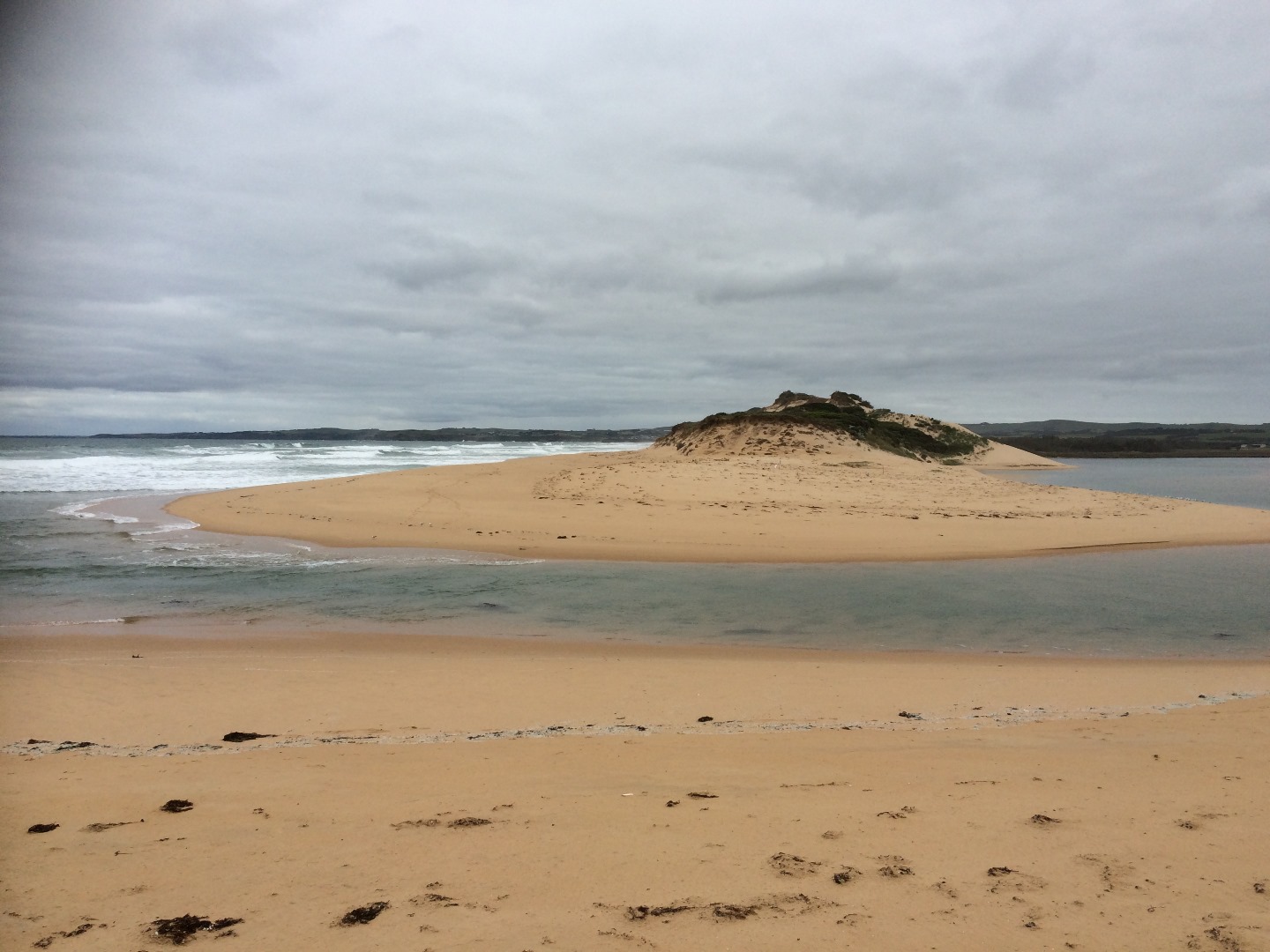
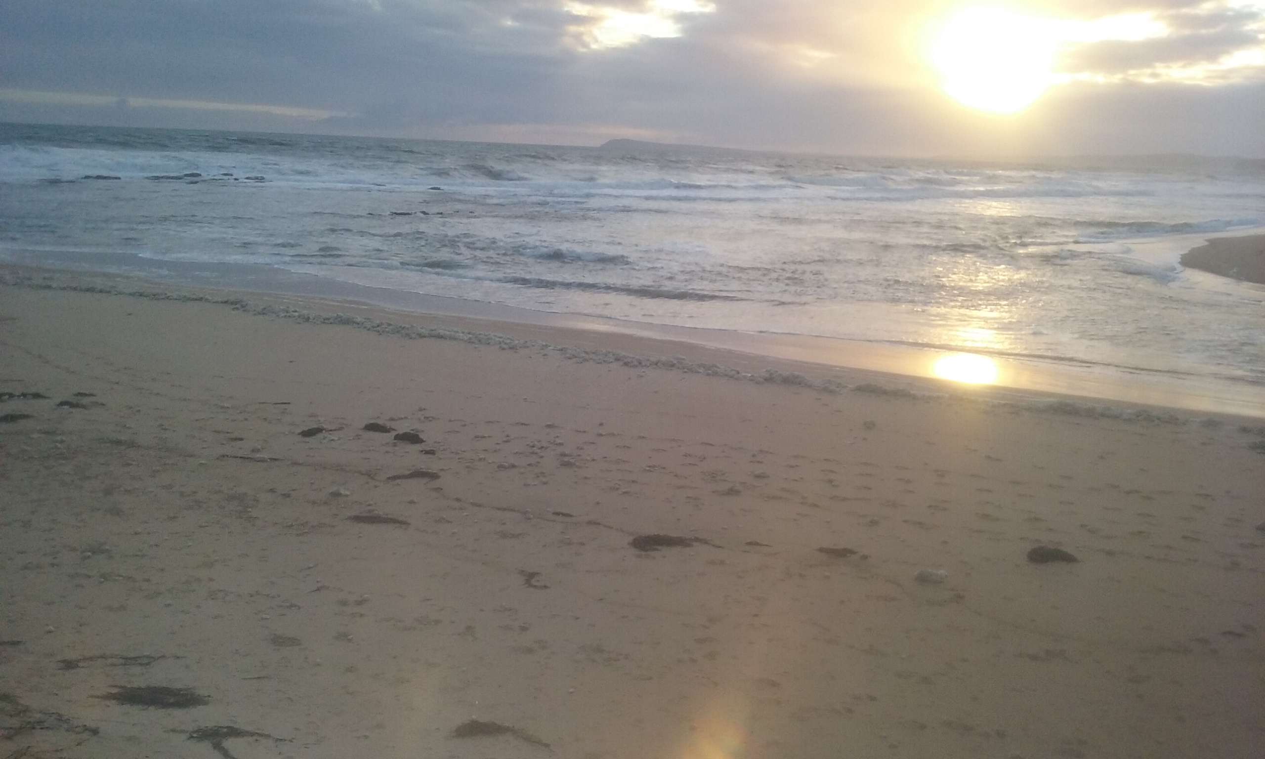
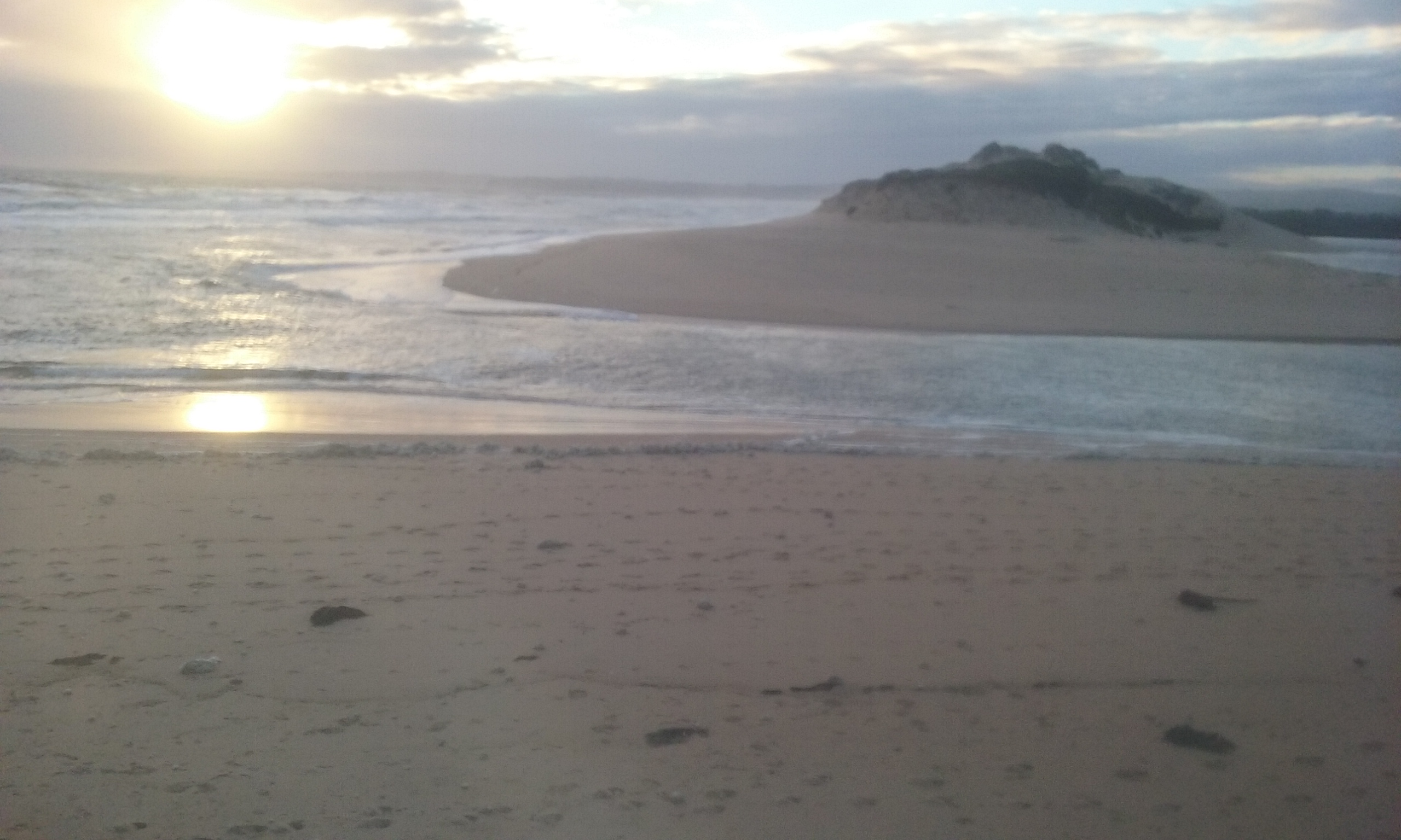
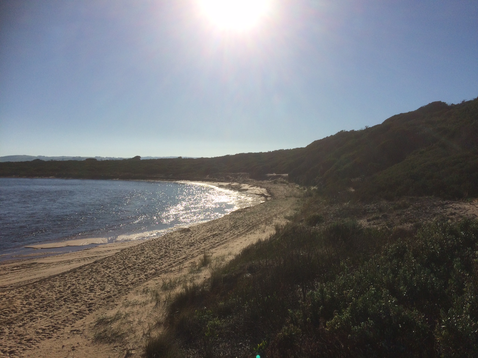
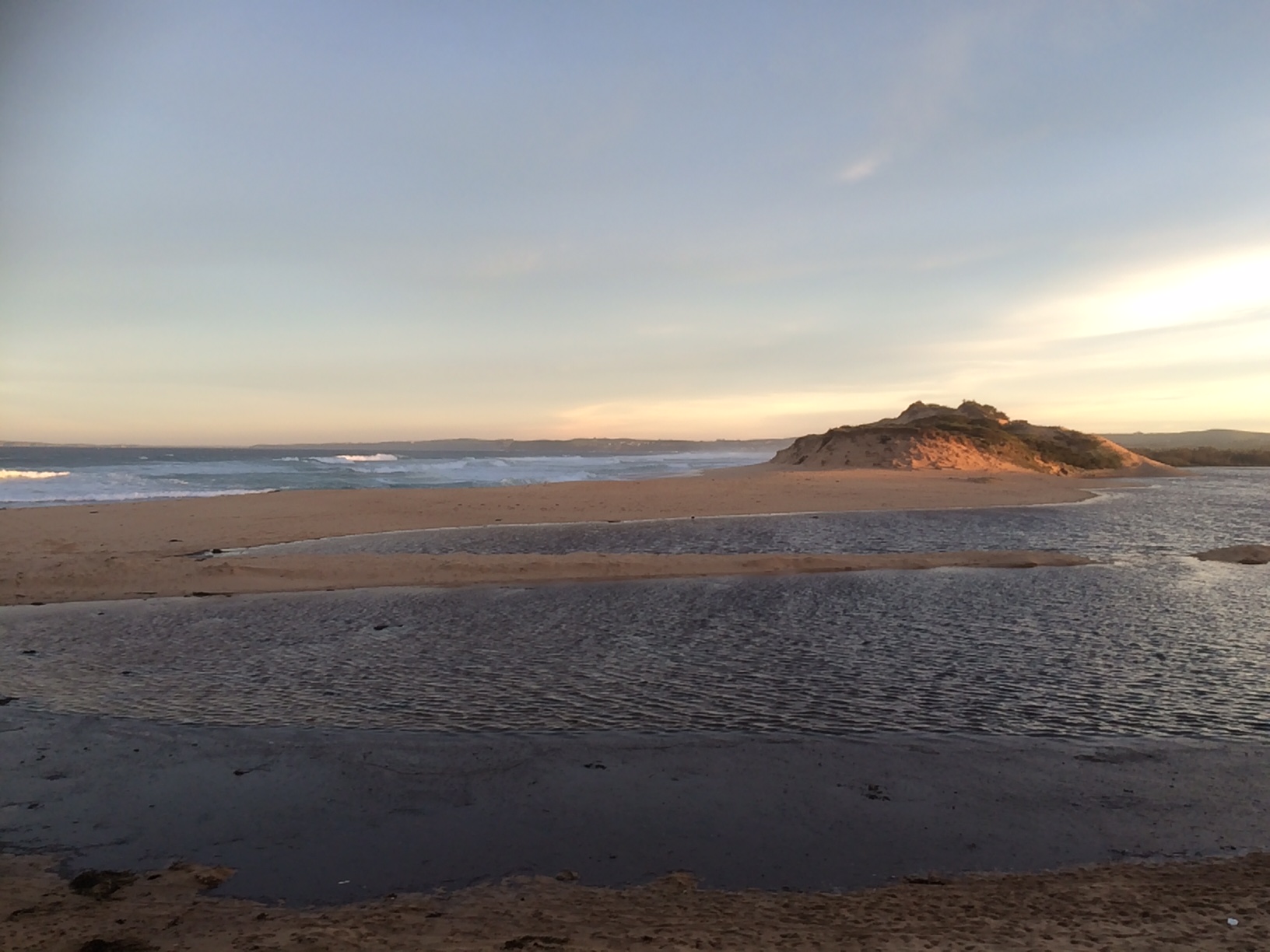
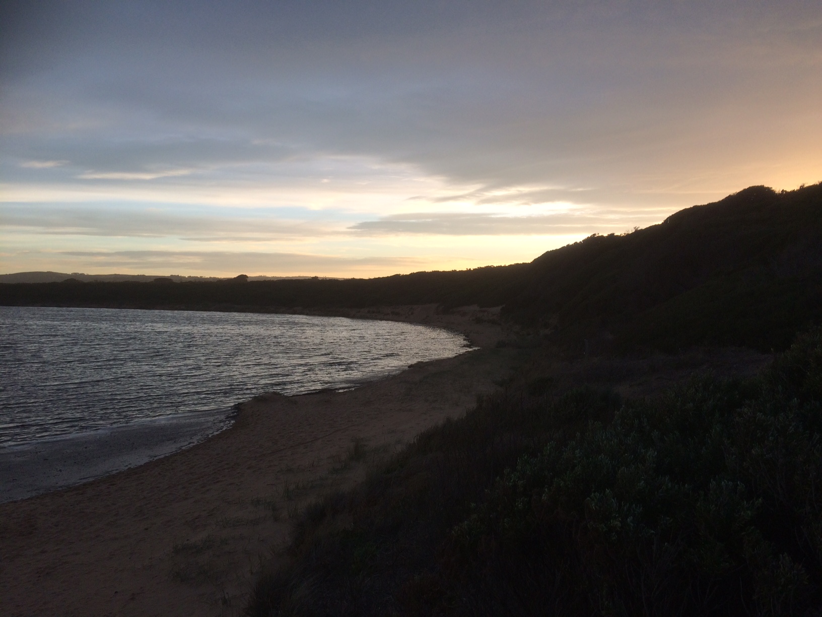
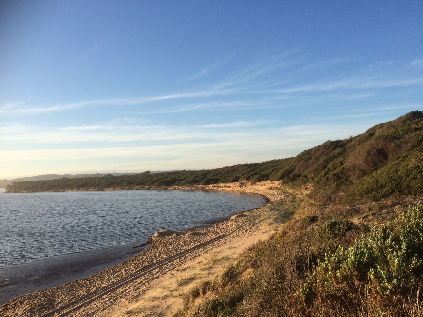
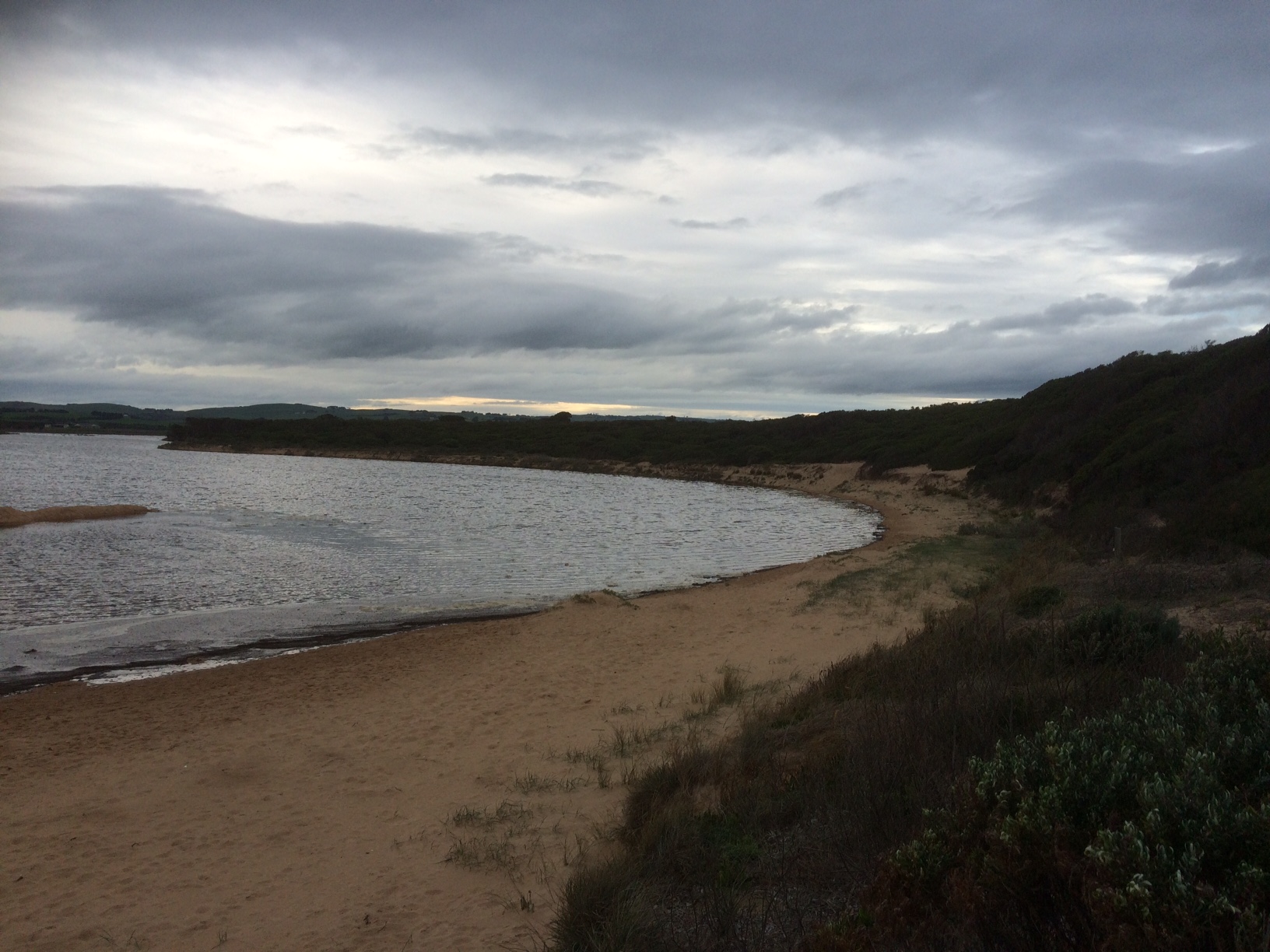
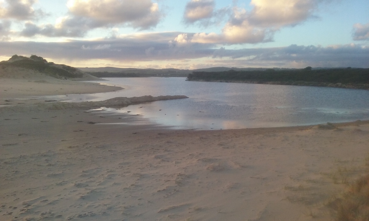
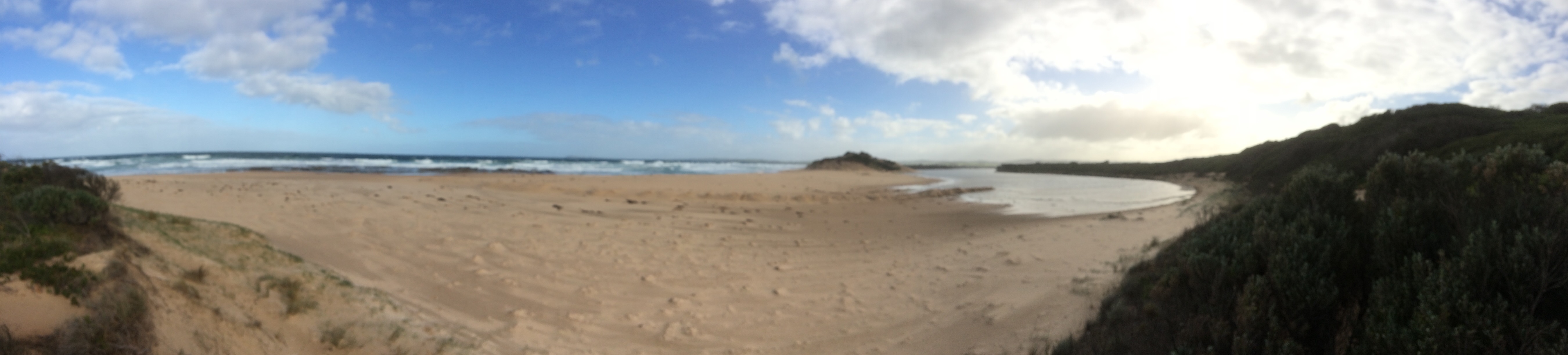
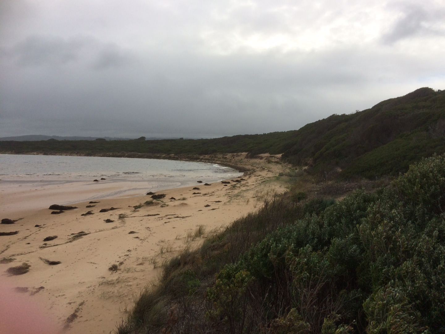
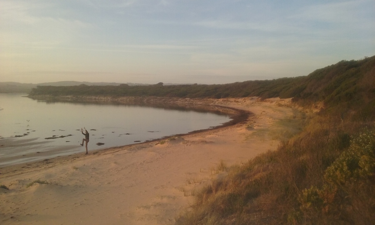
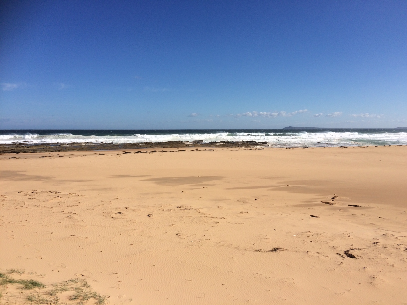
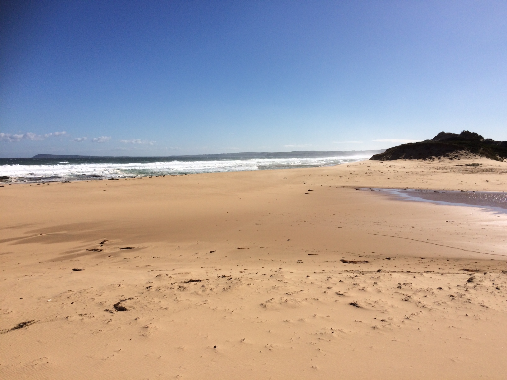
Pop1 Powlett River Photopoint Site OneActive Photopoint 16-12-2012 - 02-05-2024Sand dune located on the eastern side of the river, approx 70 metres from ocean waters edge. |
Photos 748 |
Recent Events
| Event Details |
|---|
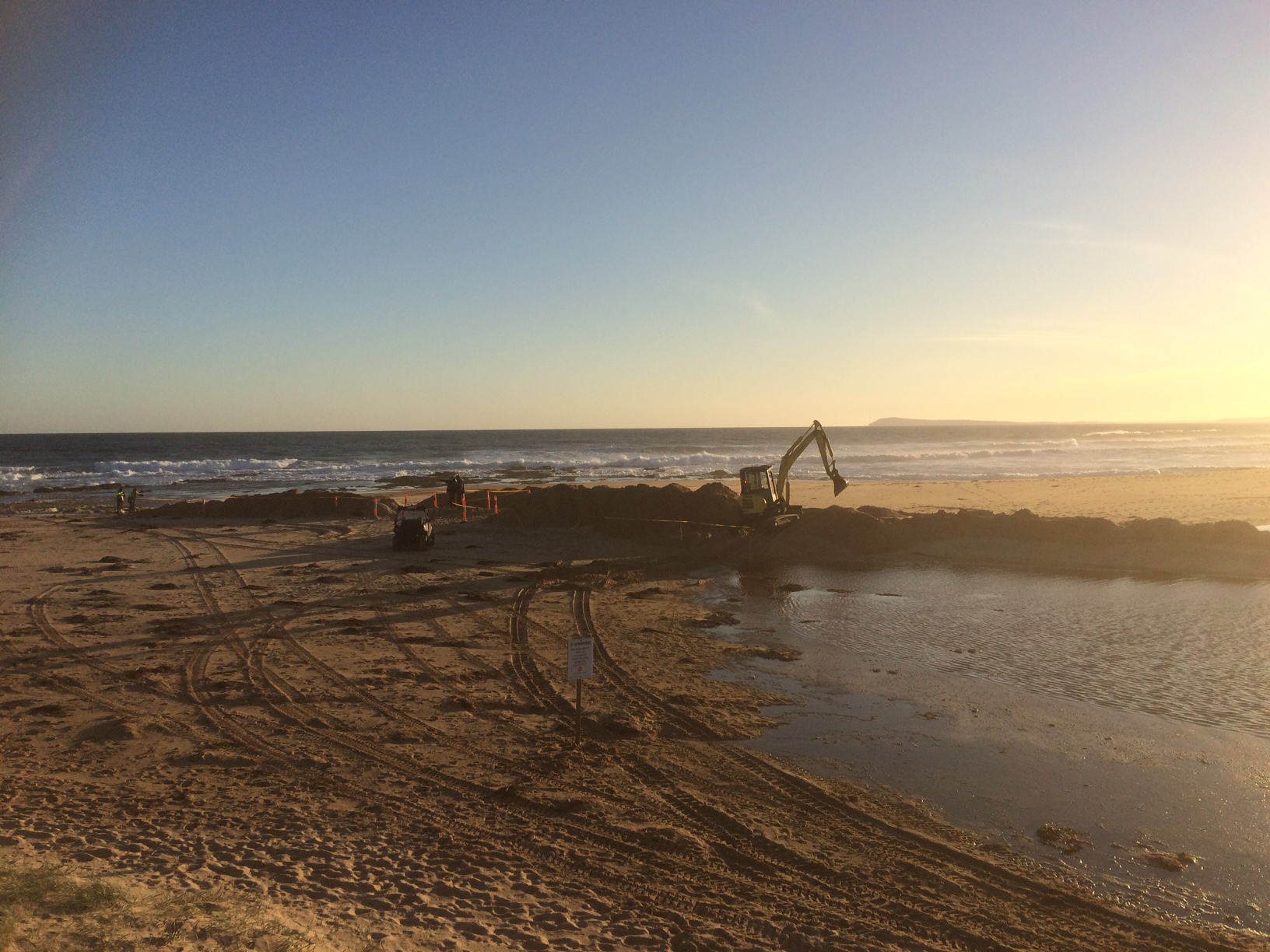
| 29-03-2017 Estuary Entrance Closure The Powlett Estuary Mouth closed on this date. The closure was likely to have occurred in the early hours of the morning. 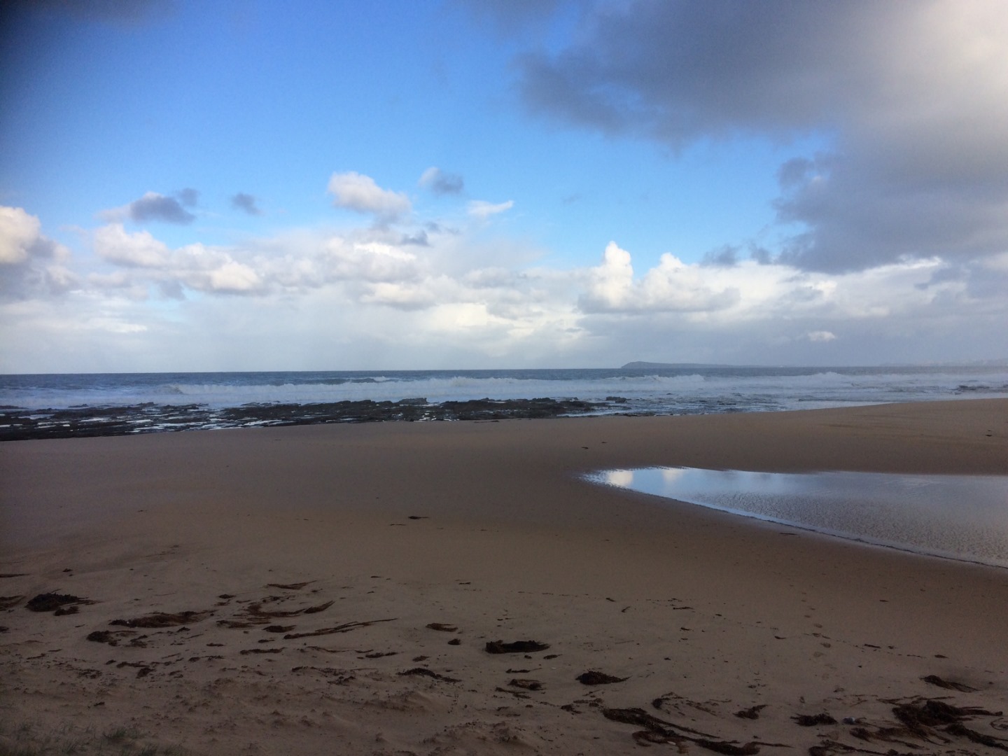
|
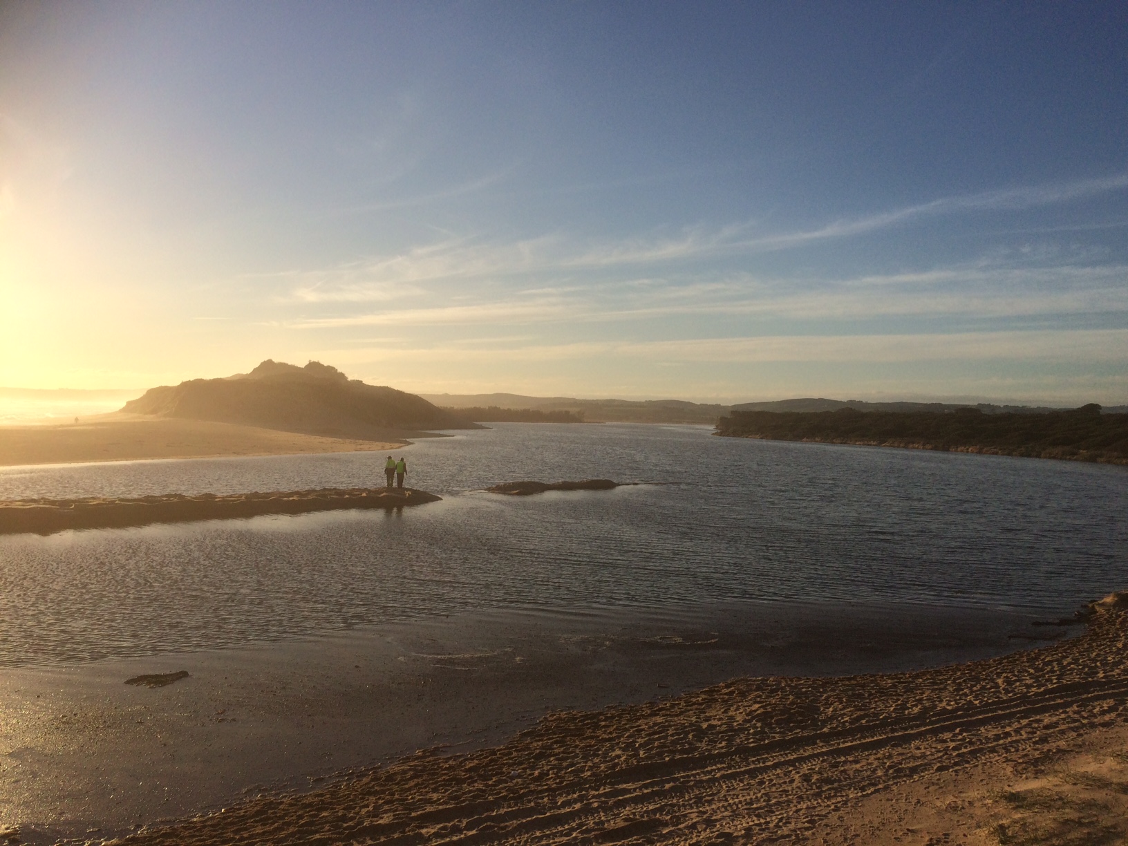
| 14-06-2016 Estuary Entrance Opening Estuary mouth artificially opened at 2.63m AHD, with peak flow of 663.74 mega litres per day on the 12th of June at Foster Creek Junction gauge. |
| 02-06-2016 Estuary Entrance Closure The Powlett is still closed, with the water level sitting at 2.34m AHD. At this height the gravel section of the Mouth of Powlett Road is only mildly inundated (see image attached). This is different to previous years, where at this height this section of road would have been completely inundated. This is thanks to the Bass Coast Shire Council who lifted this section of road following the 2015 estuary closure event. 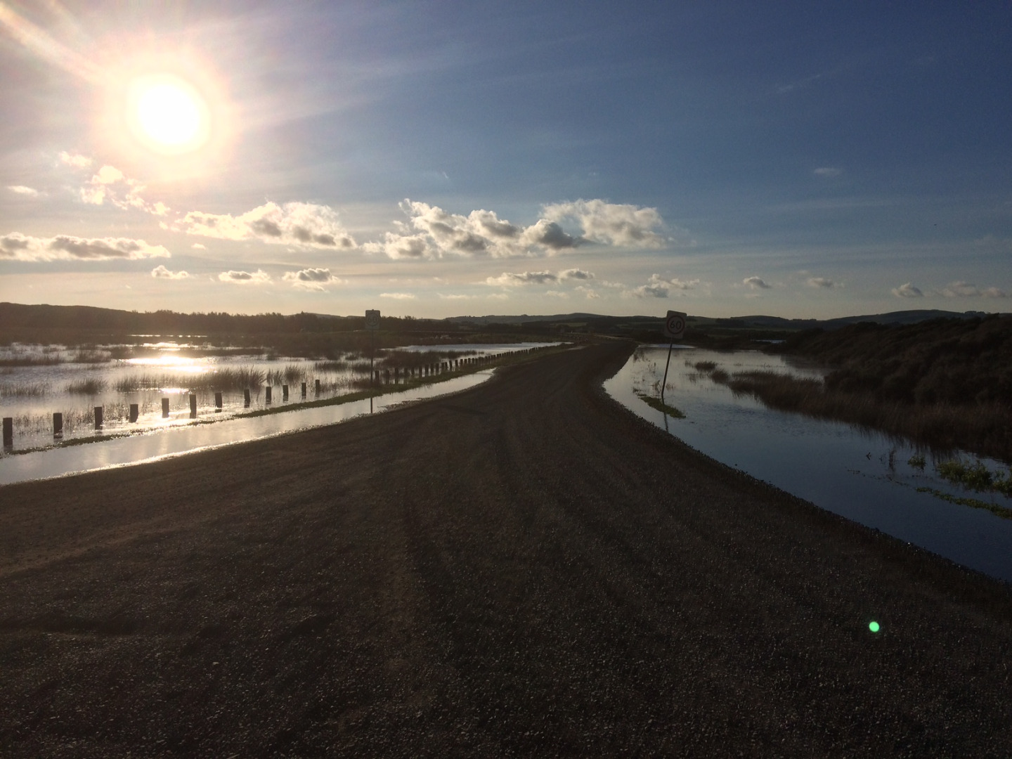
|
| 14-05-2016 Estuary Entrance Closure The estuary opening conducted on the 13th of May was unsuccessful. The opening began early in the day and works continued into the night. With a lack of water level height @ 2.01m AHD, and river flows (100mg/l per day), the large seas (2 to 3 metres) and large high tides (1.6 to 1.7m) there just wasn't enough water in the estuary to prevent the ocean from reclosing the mouth. 
|
| 13-05-2016 Estuary Entrance Opening Powlett Estuary Artificially opened at 2.01m AHD, with a flow of 90 to 100mg/l per day, a 2 to 3 metre ocean swell and a 1.6 to 1.7m high tide. |
Estuary Snapshots
The EstuaryWatch snapshots provide a summary of estuary condition on a particular day. For all EstuaryWatch Snapshots, photopoint photos and a longitudinal water quality profile from the estuary mouth to the inland extent is displayed. Read more
Autumn 2017
Summer 2017
Spring 2016
Winter 2016


Autumn 2016

All content, files, data and images provided by the EstuaryWatch Data Portal and Gallery are subject to a Creative Commons Attribution License
Content is made available to be used in any way, and should always attribute EstuaryWatch and www.estuarywatch.org.au