EstuaryWatch Data Portal
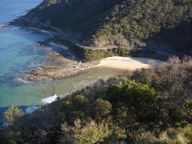
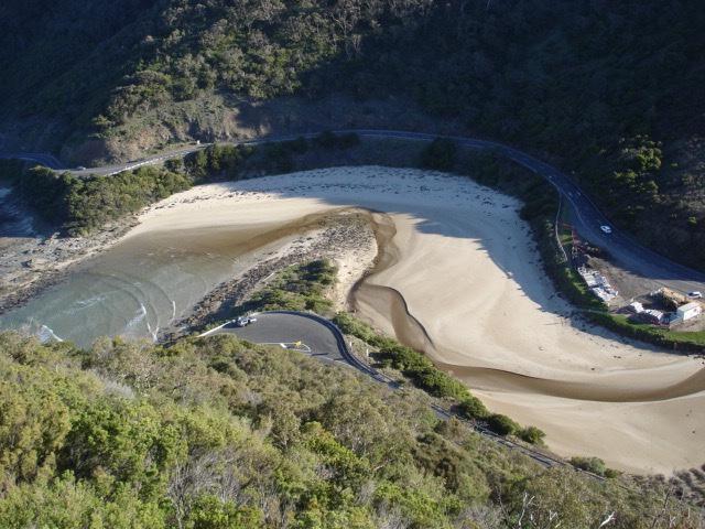
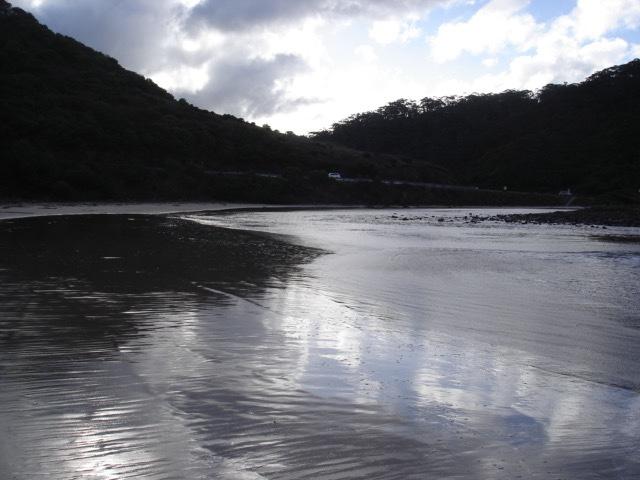
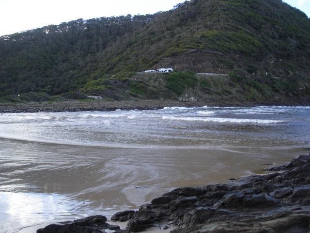
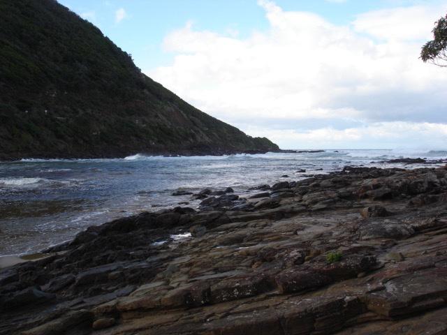
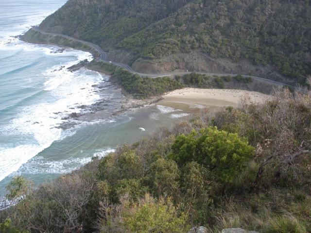
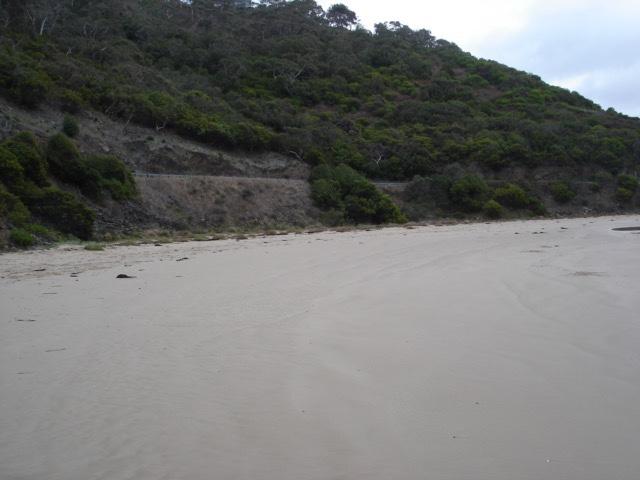
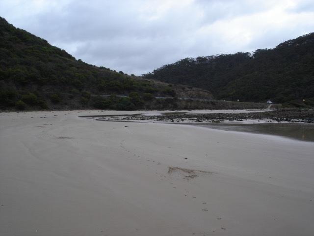
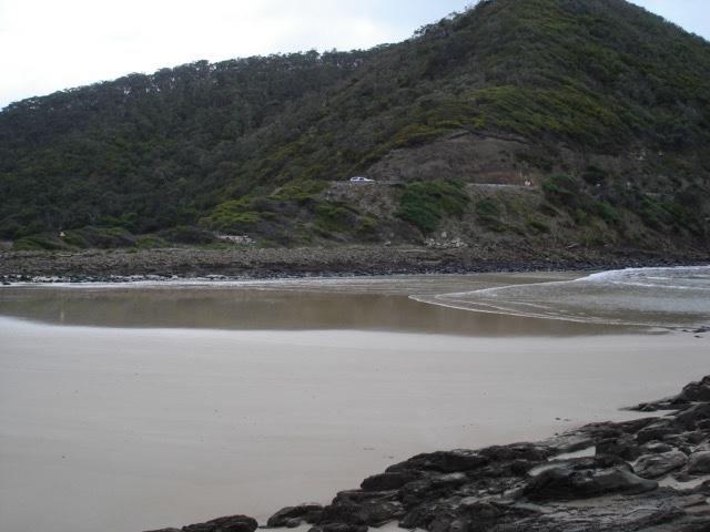
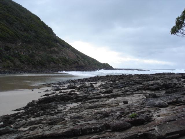
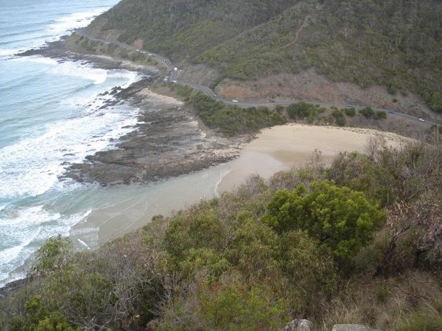
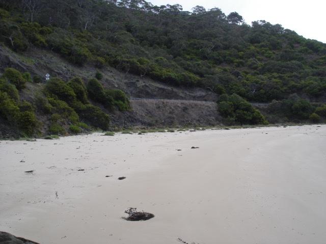
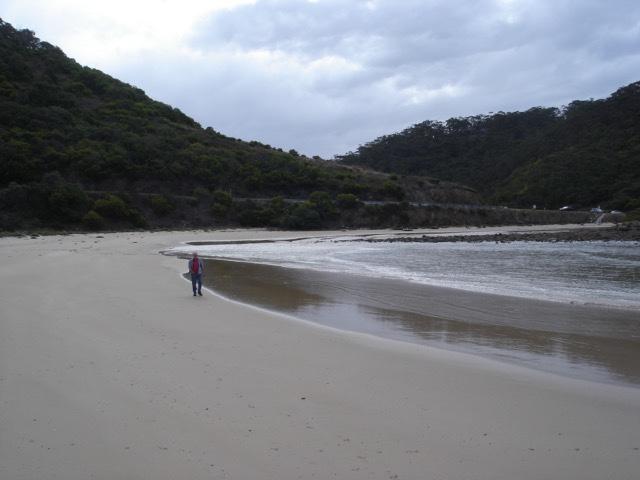
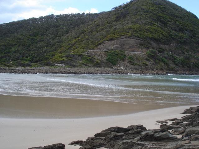
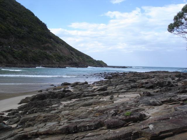
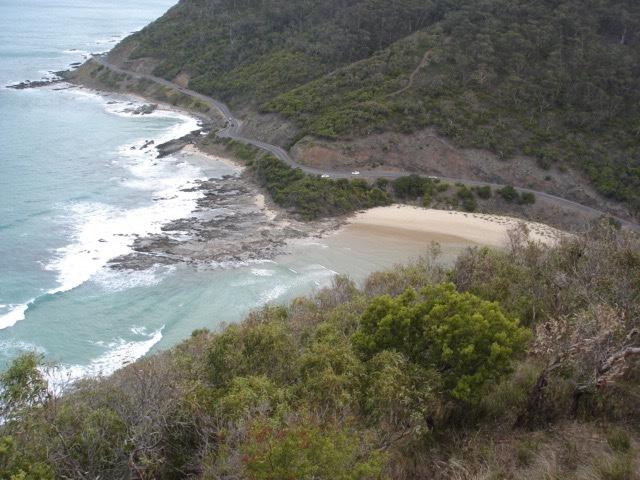
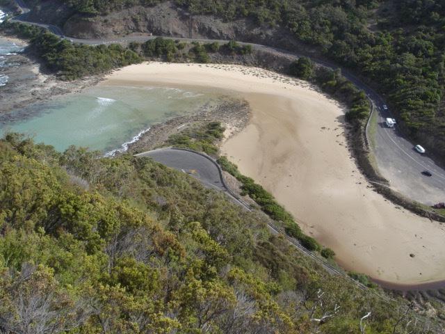
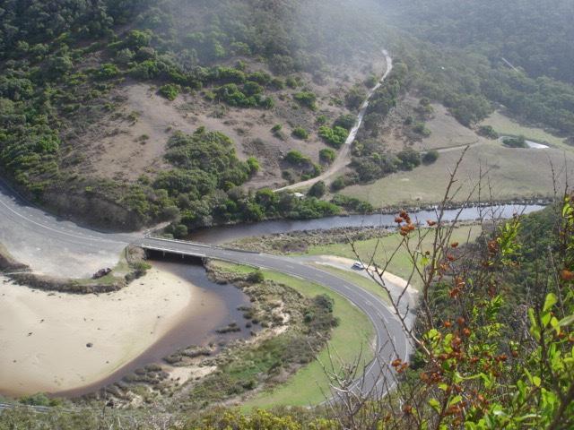
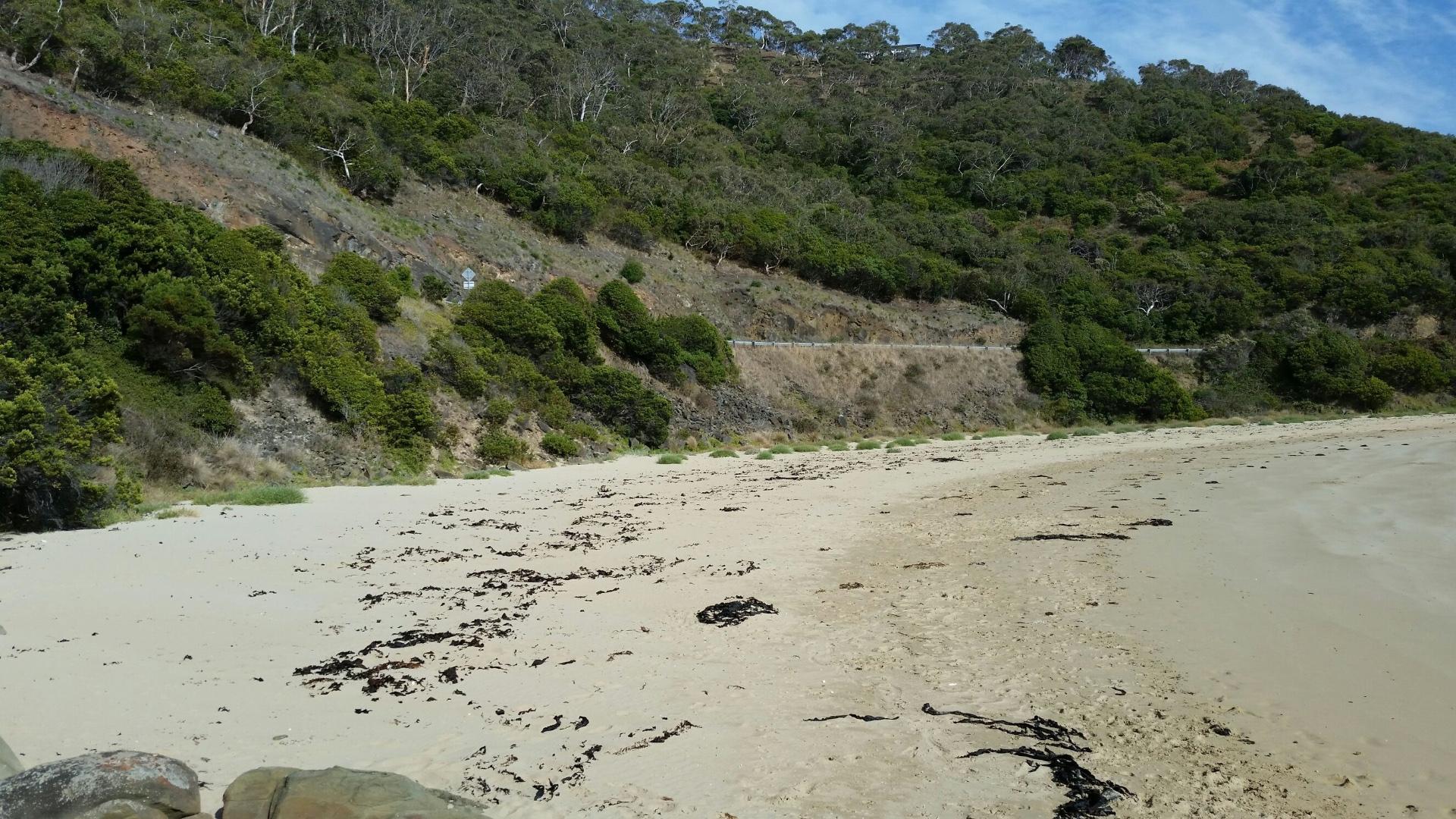
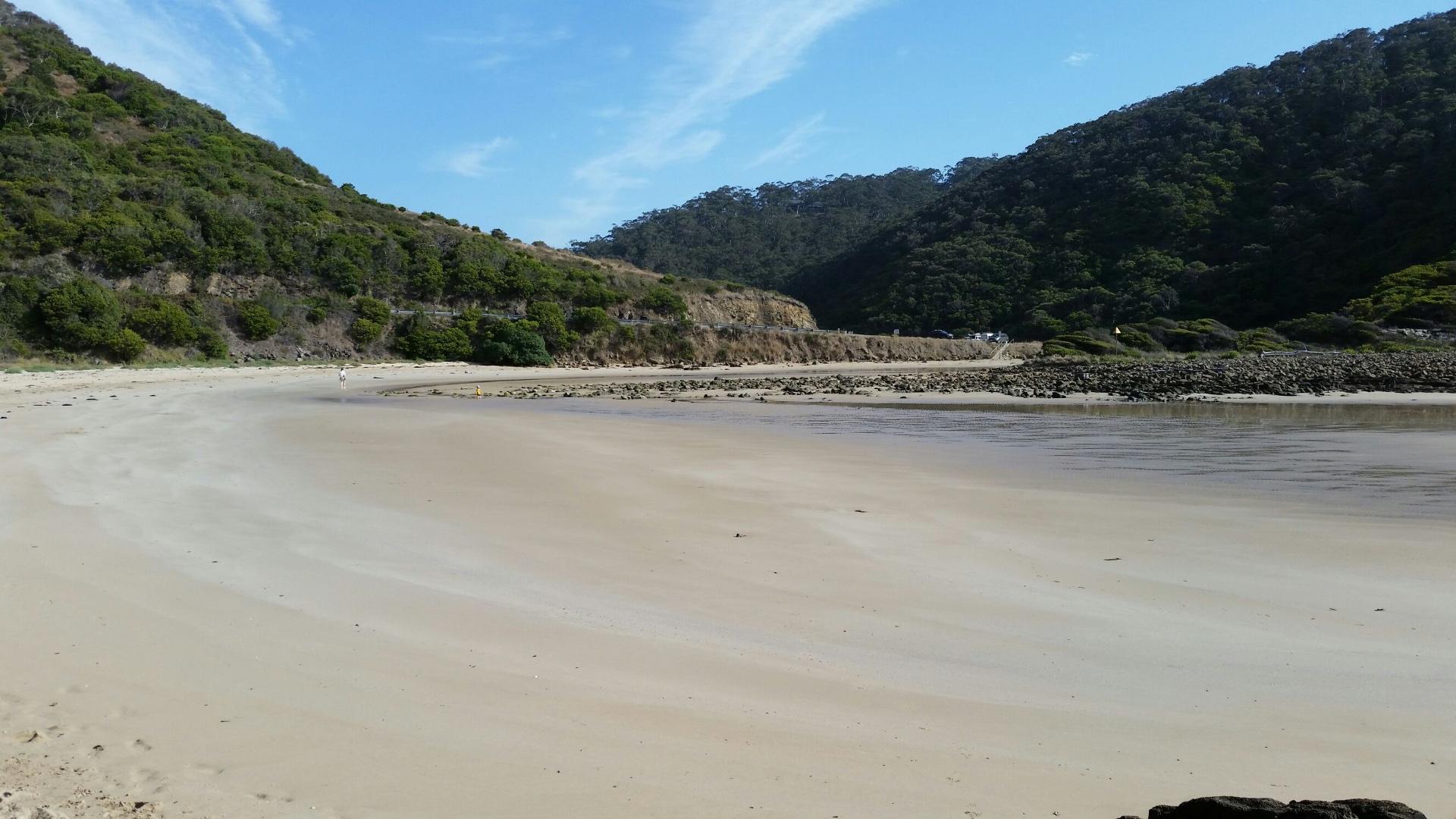
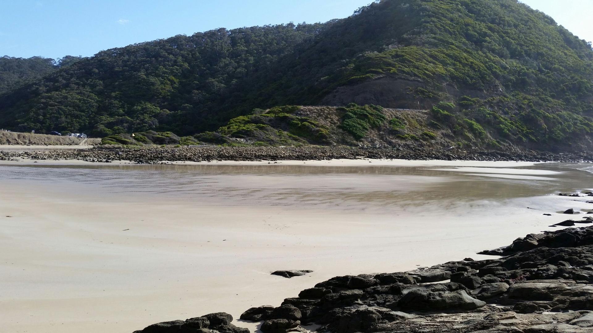
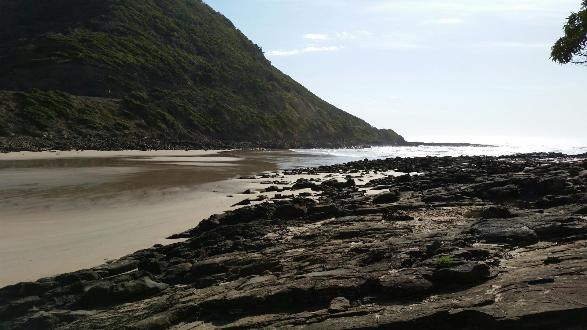
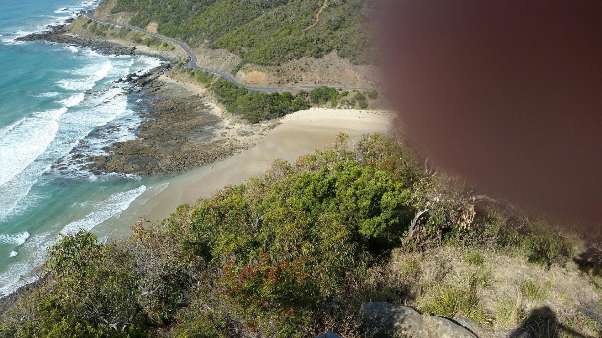
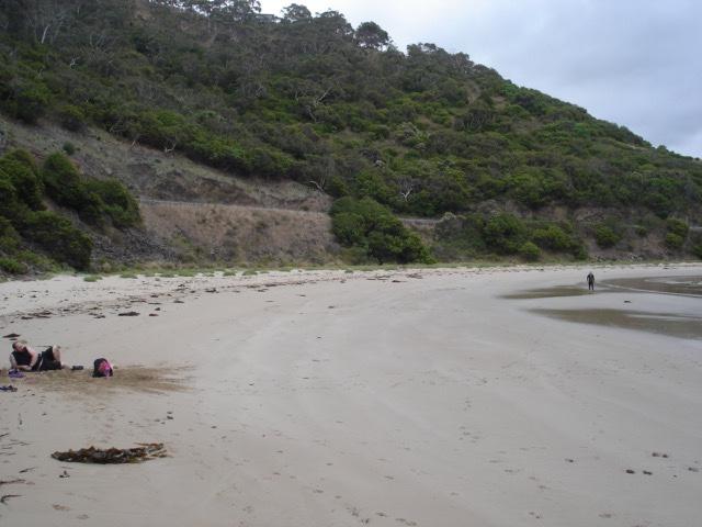
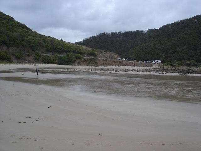
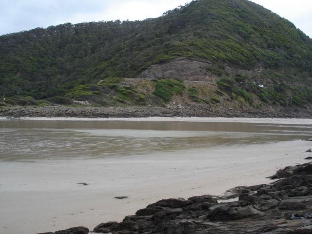
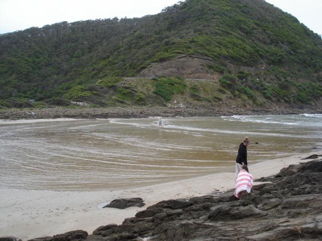
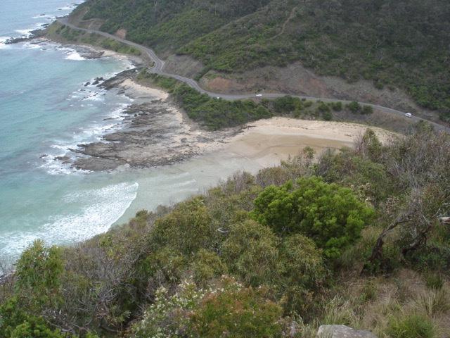
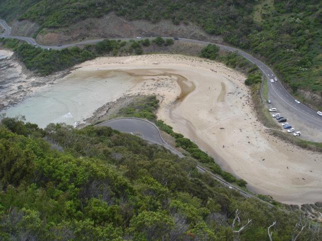
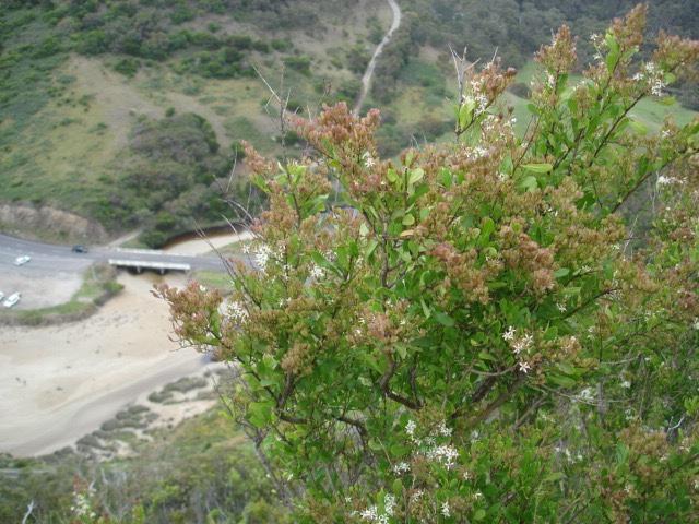
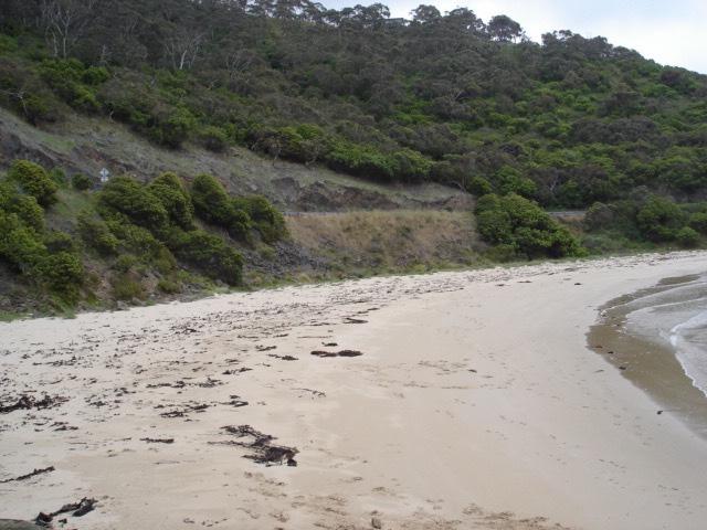
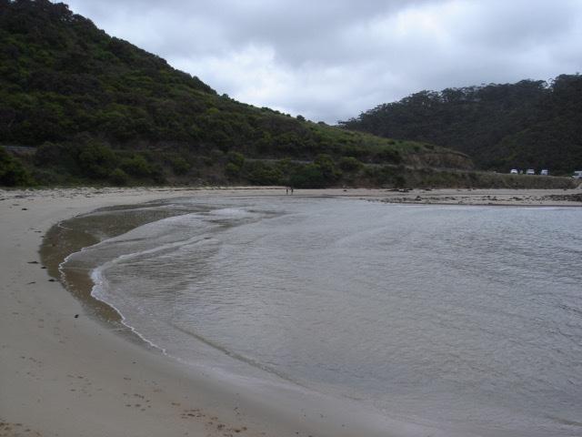
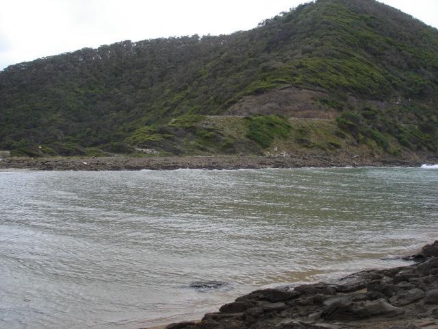
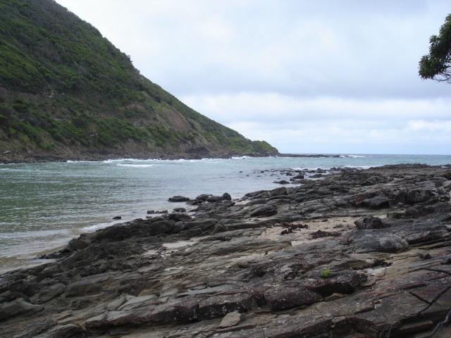
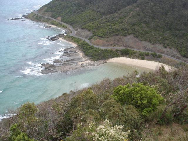
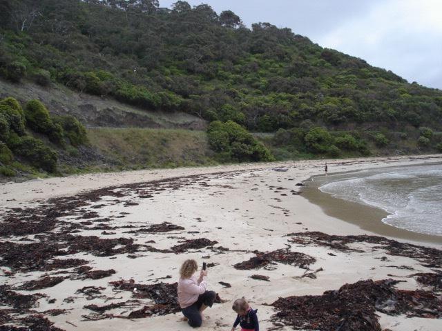
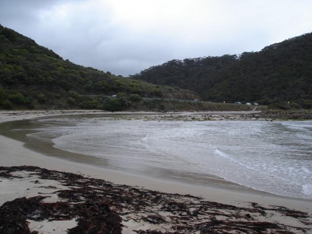
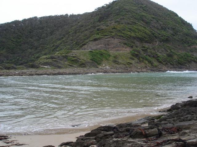
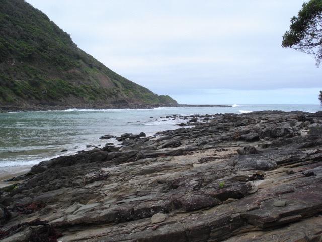
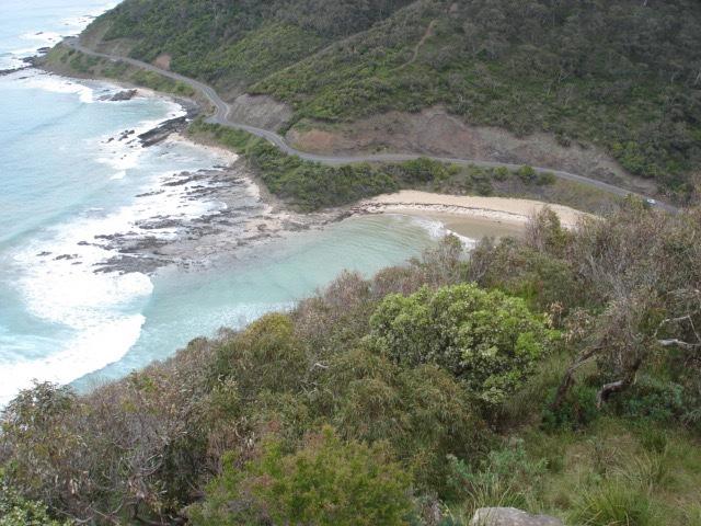
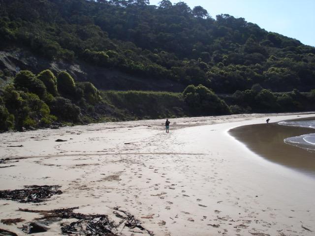
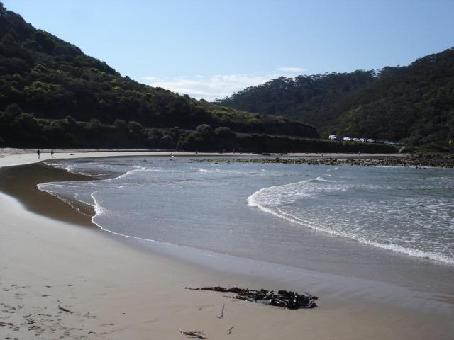
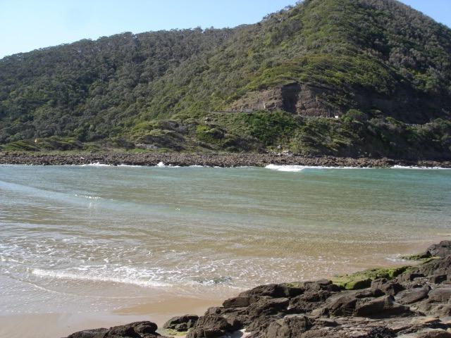
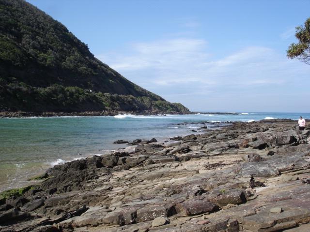
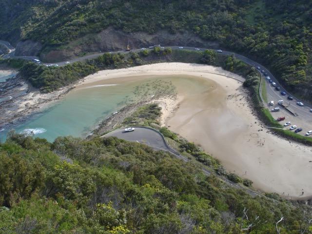
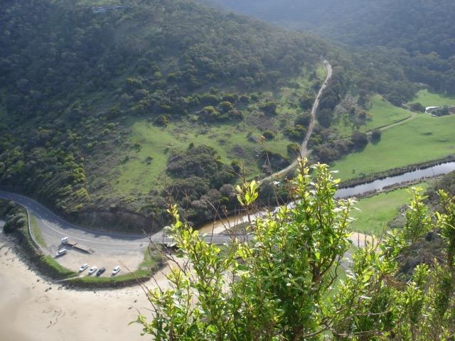
STMC St George Estuary Mouth Observation Site
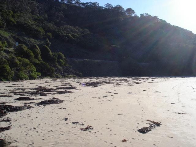
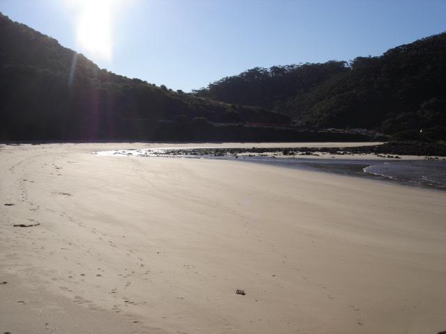
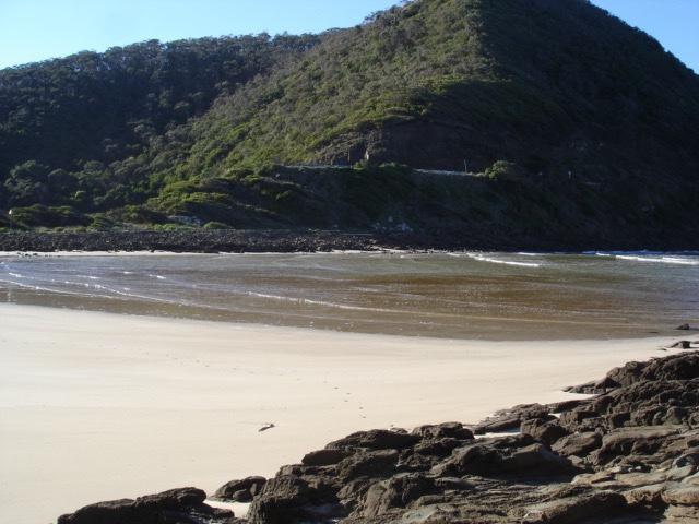
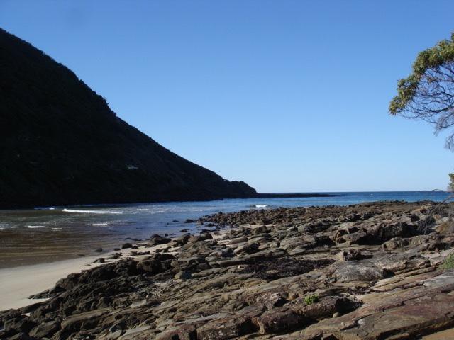
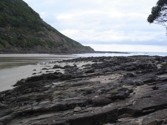
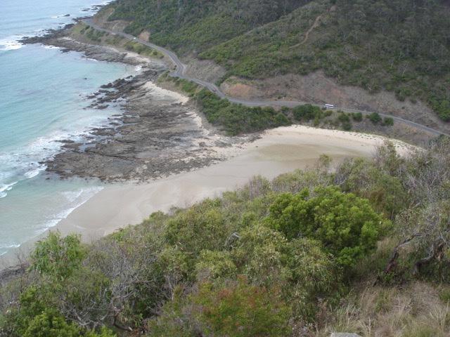
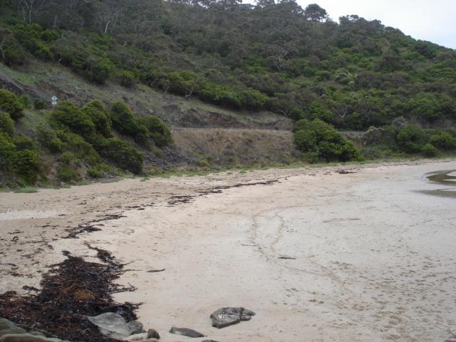
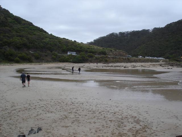
Active Mouth Condition 05-01-2008 - 07-03-2020St George River Estuary
| ID | Date | Status | Details | |
|---|---|---|---|---|
| #13173 | 27 Jun 2019 | Approved |
Notes:
River now entering sea on north side of estuary. Wind at Teddys N scale 2. |
|
| #13099 | 28 May 2019 | Approved |
Notes:
River splits into two streams on ocean side of bridge for a short distance. Wind at Teddys WNW scale 4. |
|
| #12892 | 28 Apr 2019 | Approved |
Notes:
River full to overflowing banks spilling slowly in small stream sometimes spread out over sand. Wind at Teddys is S,scale3. |
|
| #12888 | 29 Mar 2019 | Approved |
Notes:
Estuary appears closed in that no flow appears to be entering from river.River filled up to top of banks and beyond in some spots.Clumps of seaweed washed up river beyond bridge.Wind at Teddys S/W scale 5. |
|
| #12737 | 28 Feb 2019 | Approved |
Notes:
River has very little flow. Only just reaching the sea in trickles. |
|
| #12672 | 26 Jan 2019 | Approved |
Notes:
River has no defined pathway in lower part of estuary. It is spread out with a few trickling places. Wind at Teddys is SSE scale 3. |
|
| #12664 | 30 Dec 2018 | Approved |
Notes:
River's path through sand now on north side of estuary. Wind at Teddys lookout SSE scale 4. |
|
| #12553 | 28 Nov 2018 | Approved |
Notes:
Very little flow coming down river. Wind at Teddys lookout S, scale 4 |
|
| #12477 | 31 Oct 2018 | Approved |
Notes:
Large deposits of seaweed in estuary.River's path through sand almost blocked half way between mouth and GOR bridge. Minimum flow coming down river. Wind at Teddys, E. |
|
| #12432 | 2 Oct 2018 | Approved |
Notes:
River's path through sand not well defined. Little flow coming downstream. |
|


All content, files, data and images provided by the EstuaryWatch Data Portal and Gallery are subject to a Creative Commons Attribution License
Content is made available to be used in any way, and should always attribute EstuaryWatch and www.estuarywatch.org.au