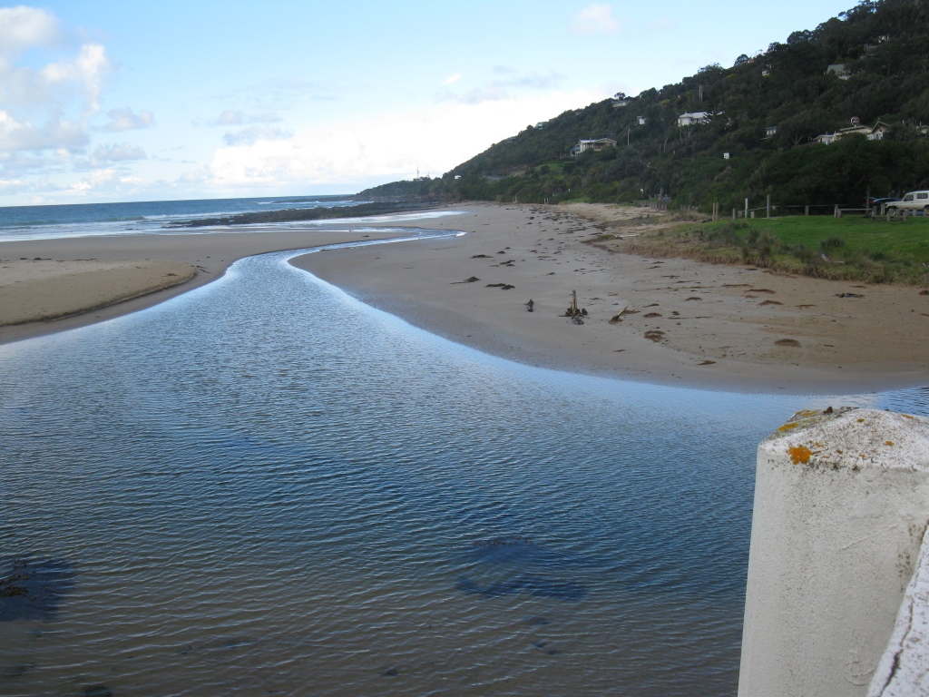
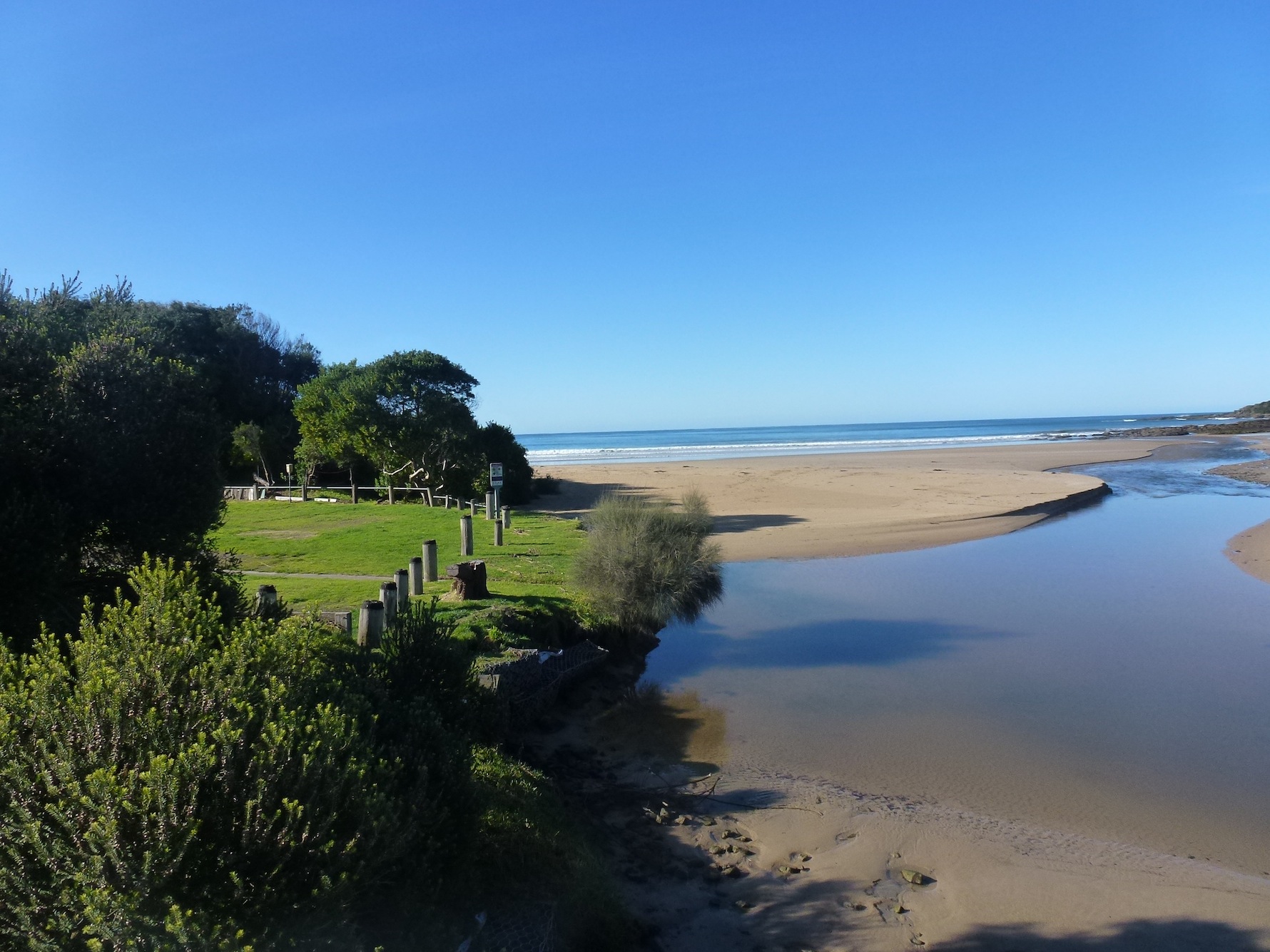
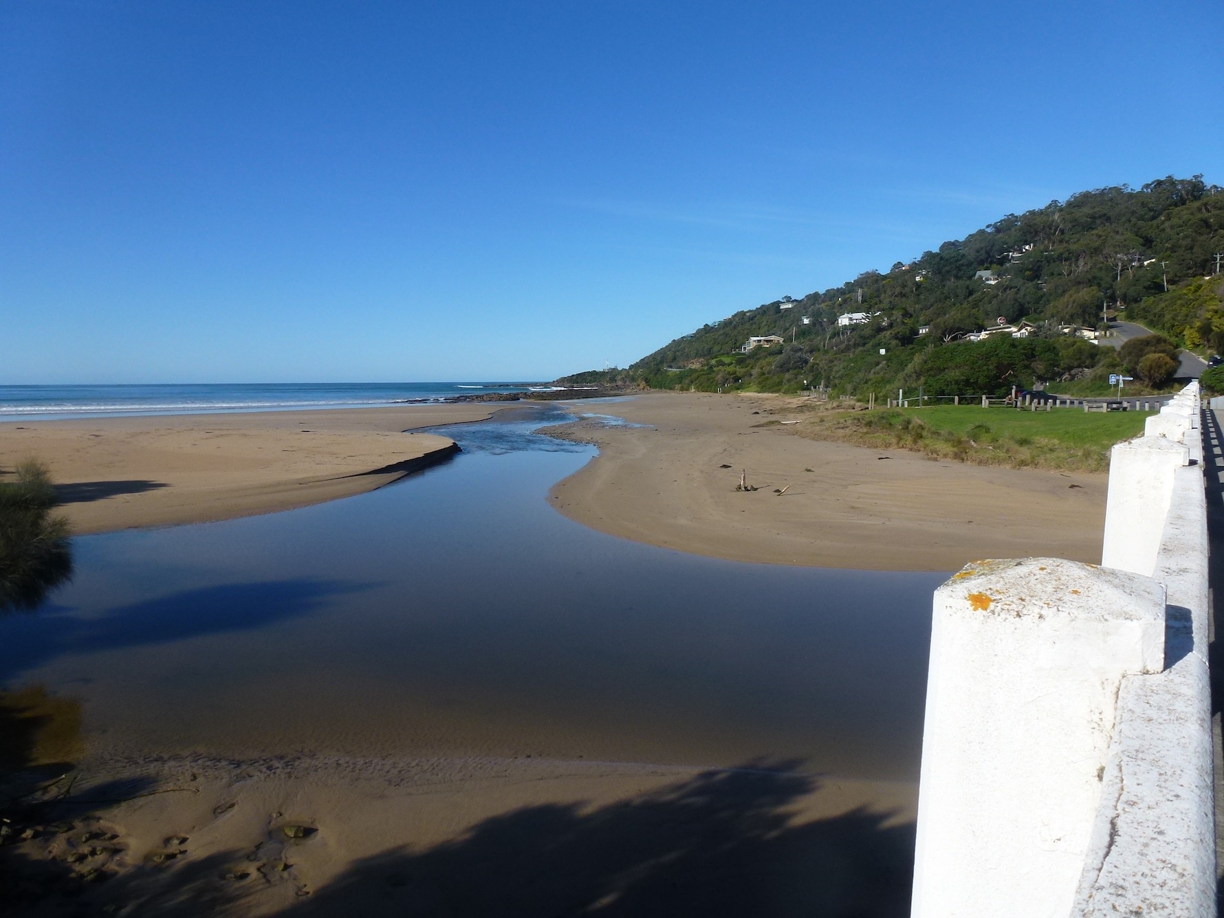
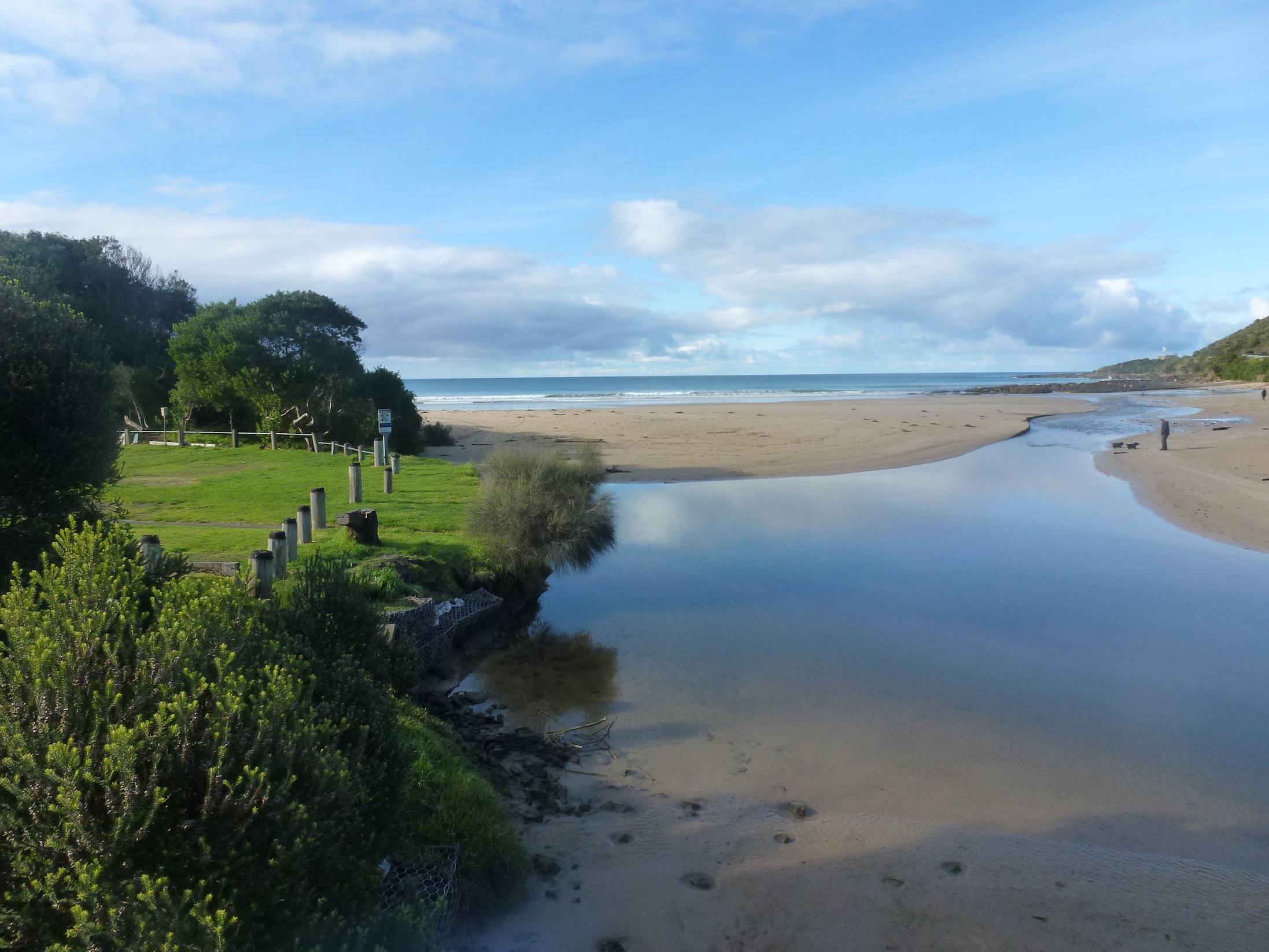
EstuaryWatch Data Portal
WyMC Wye River Mouth Condition
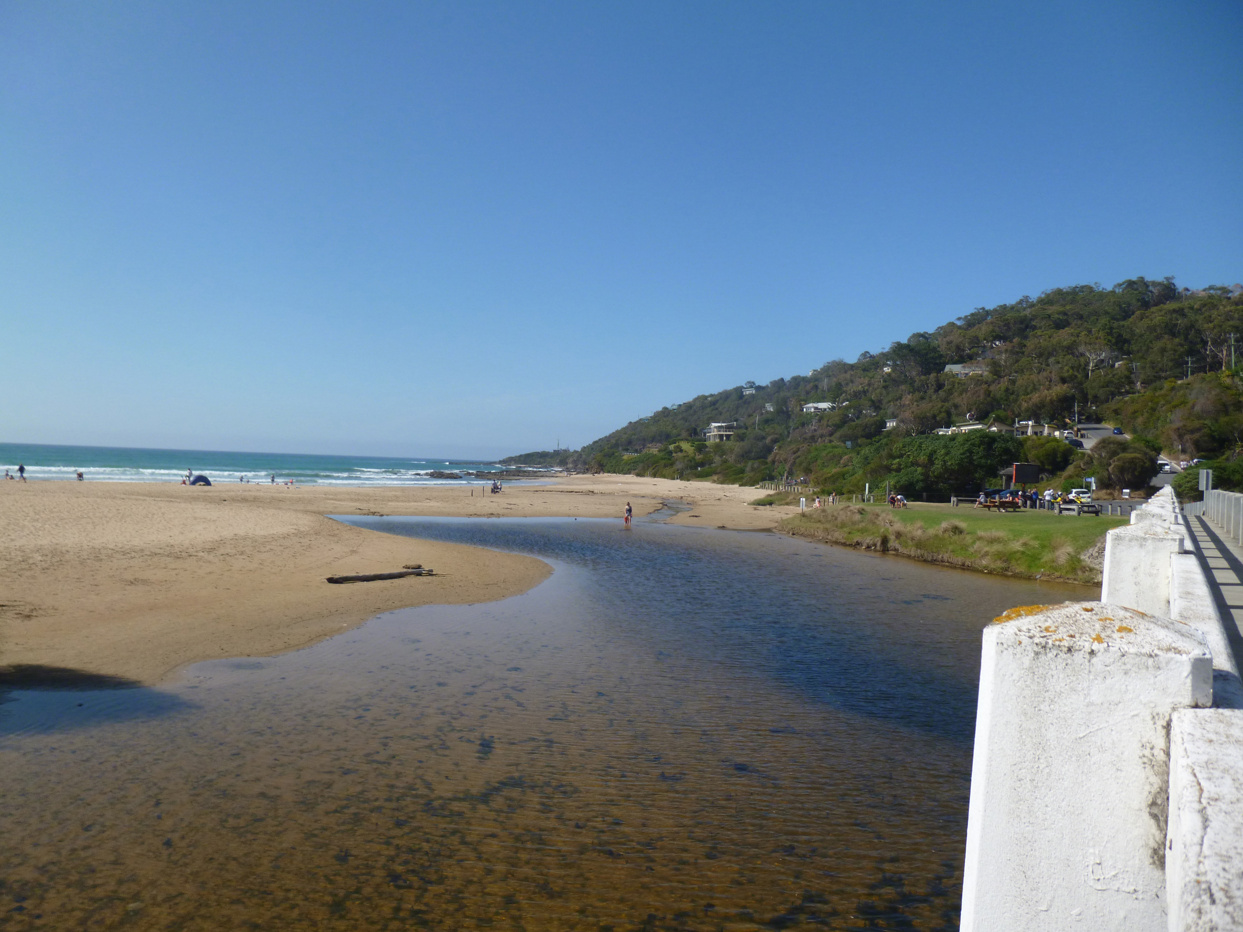
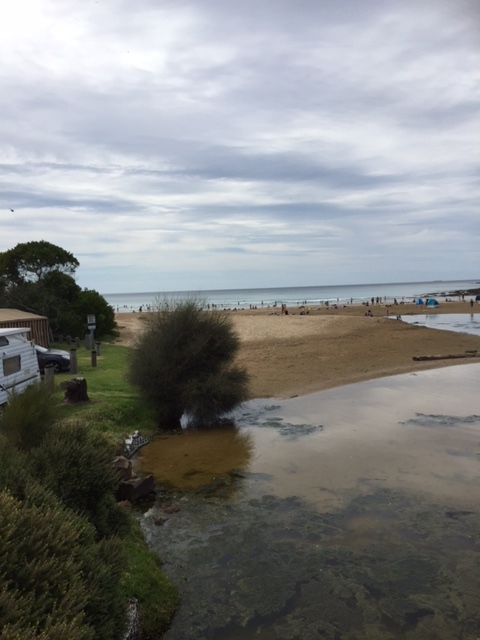
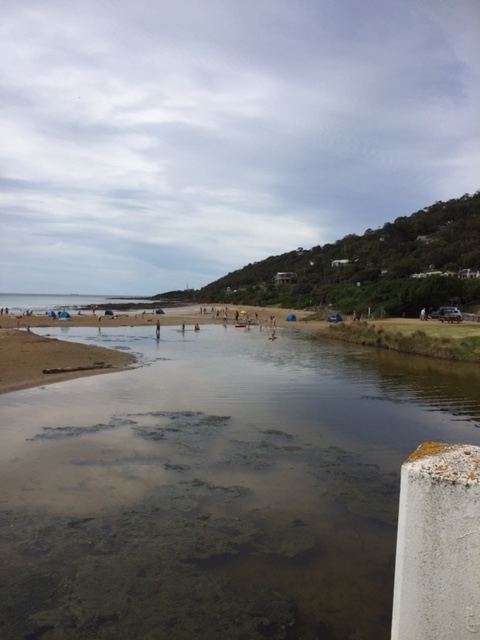
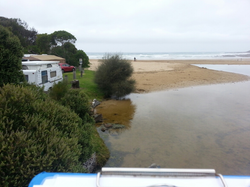
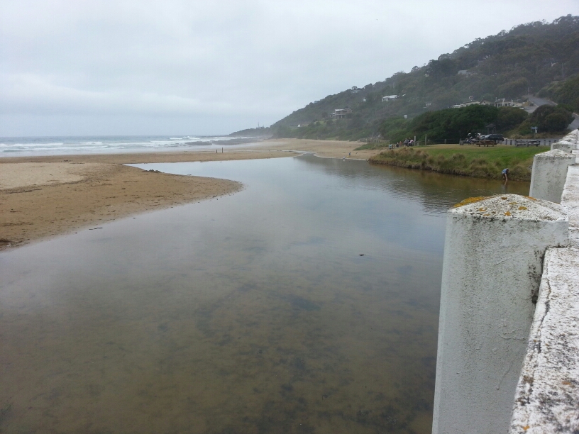
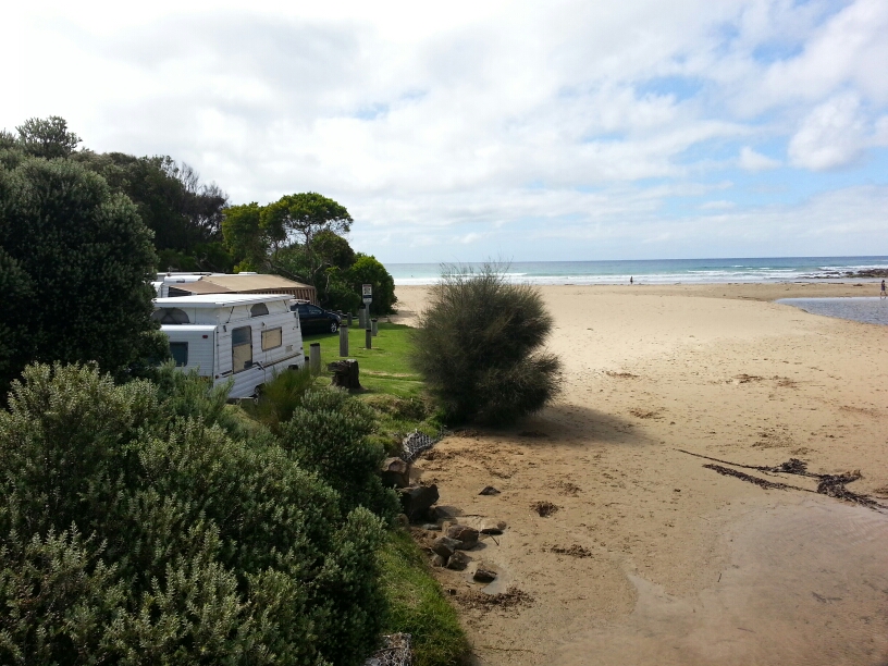
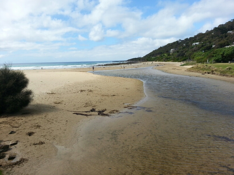
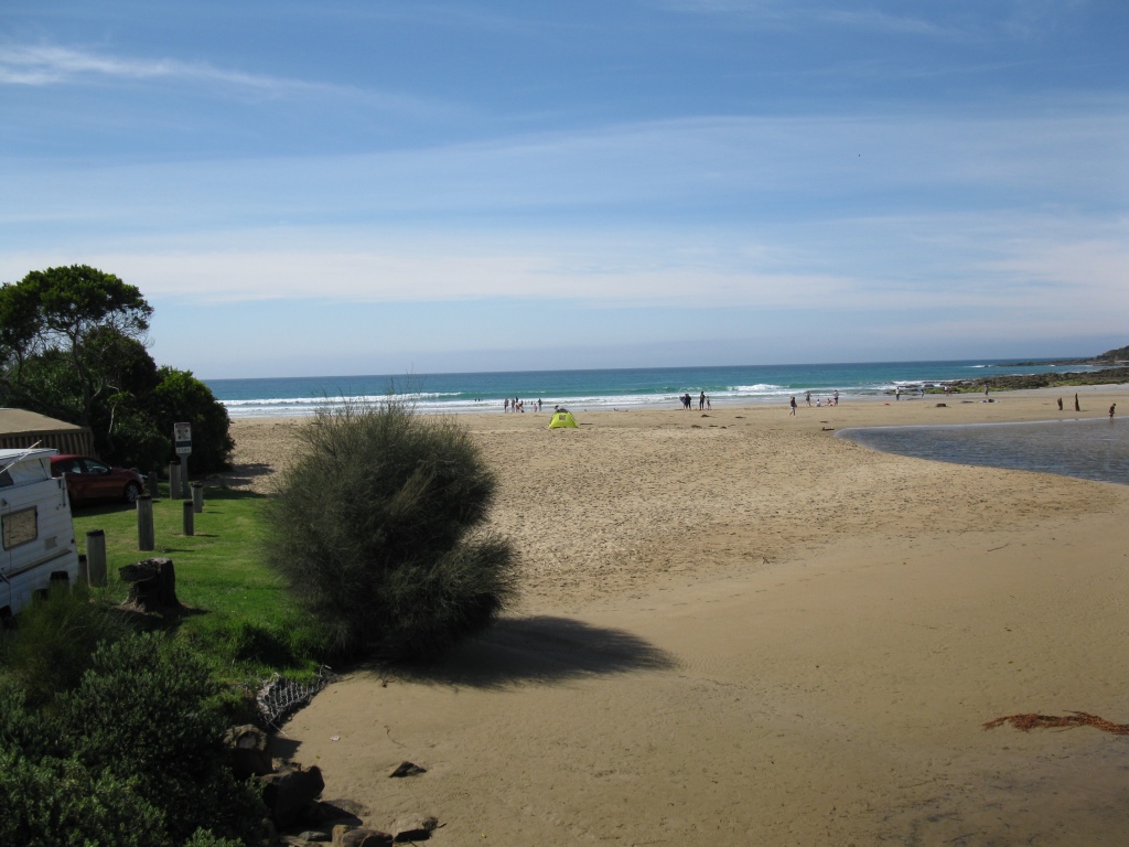
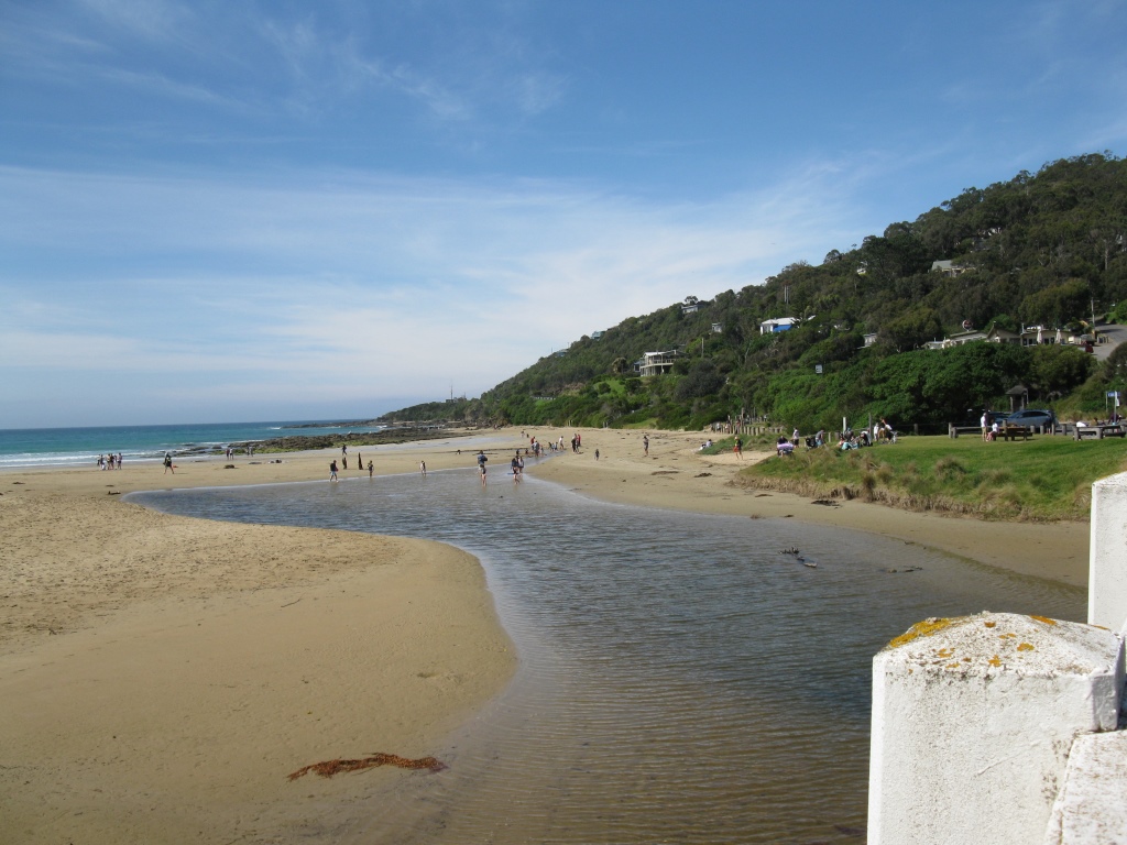
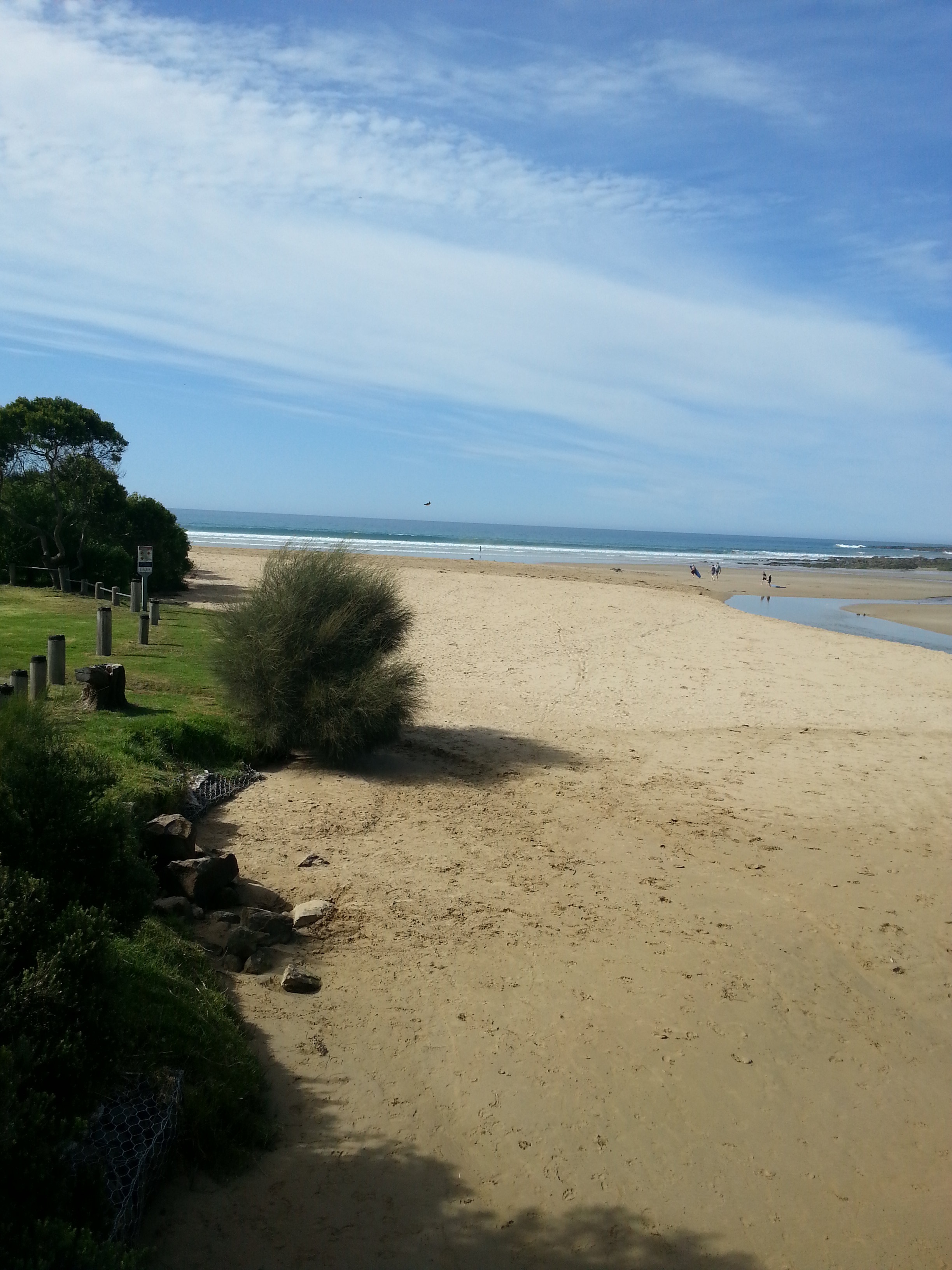
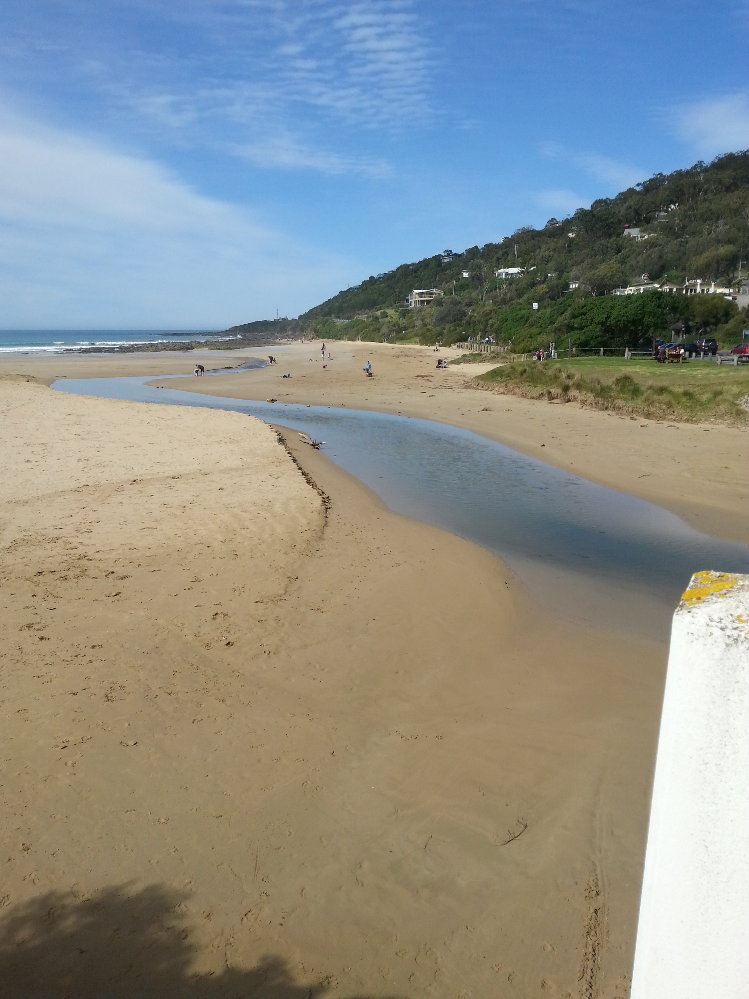
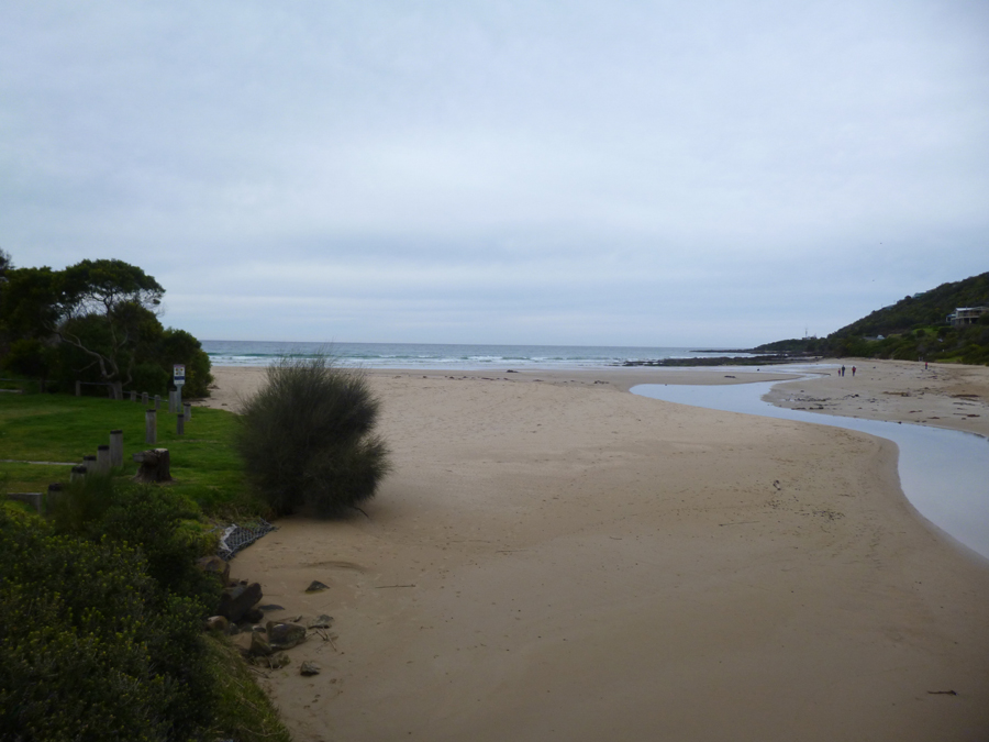
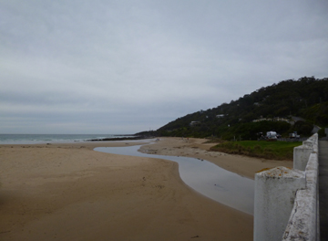
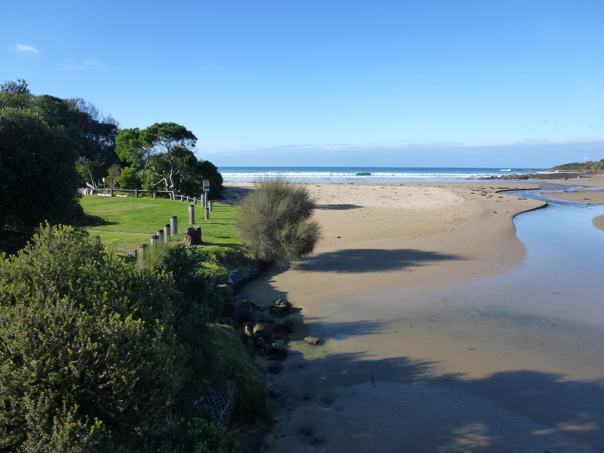
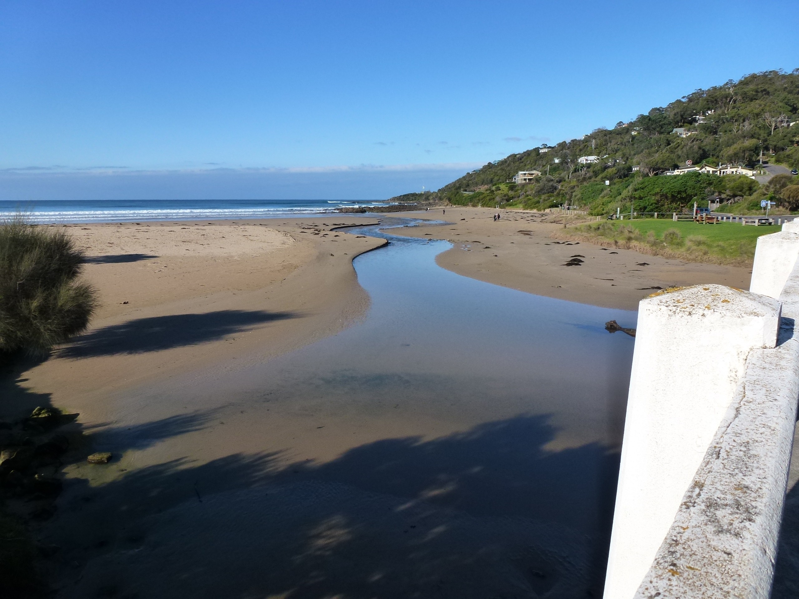
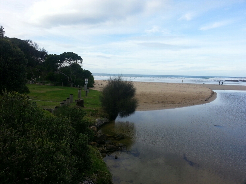
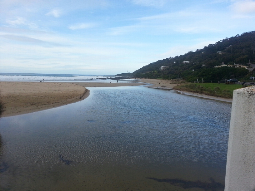
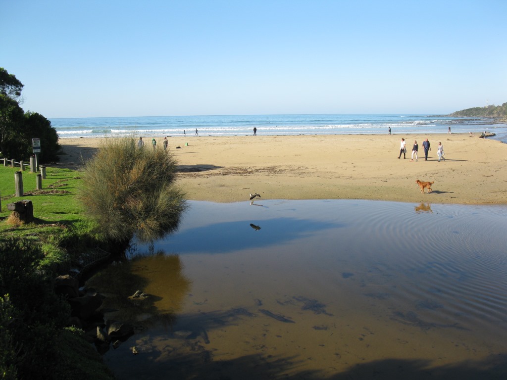
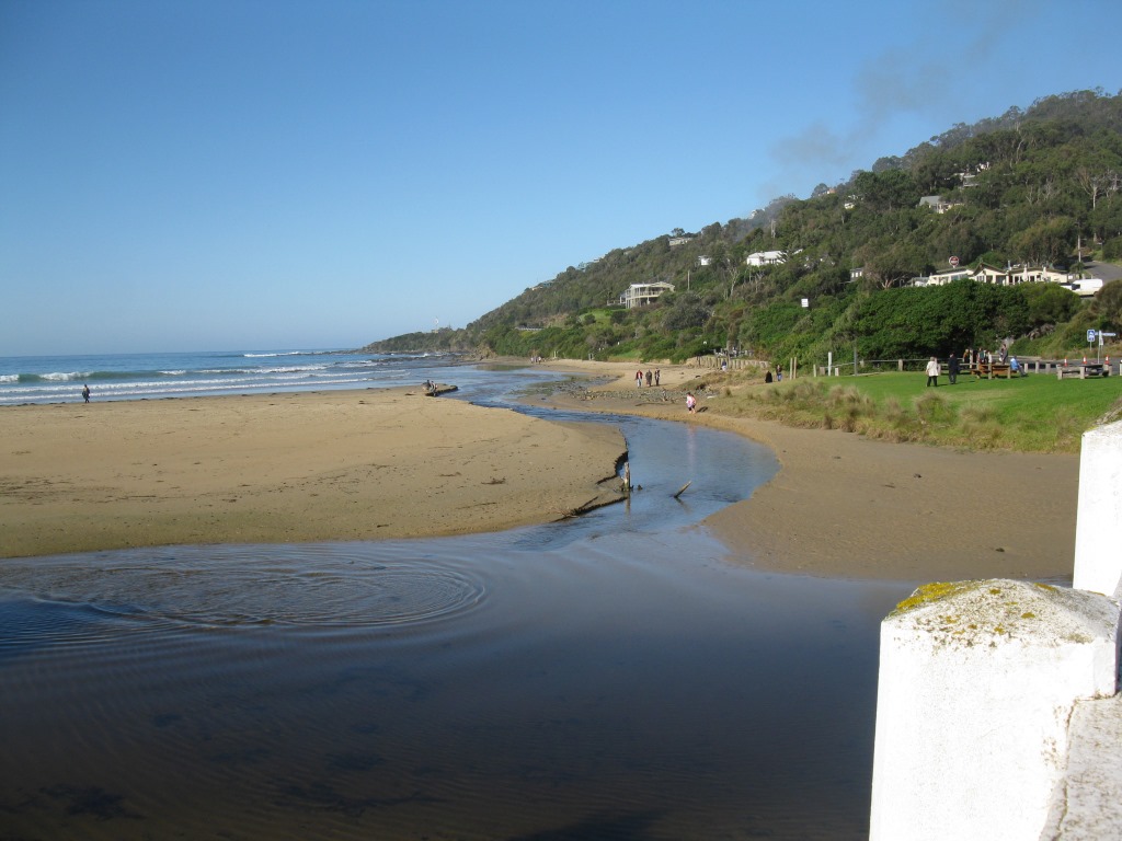
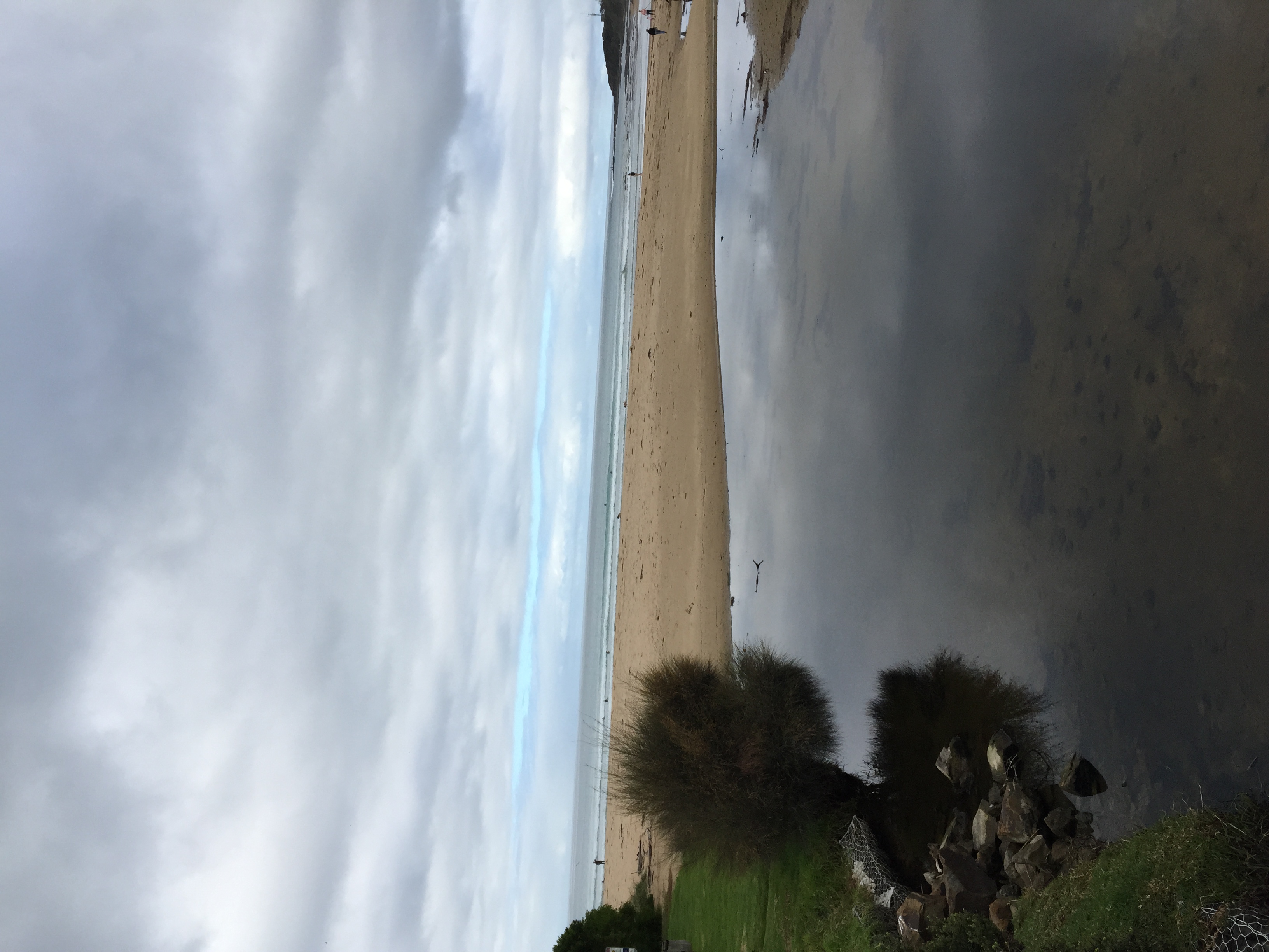
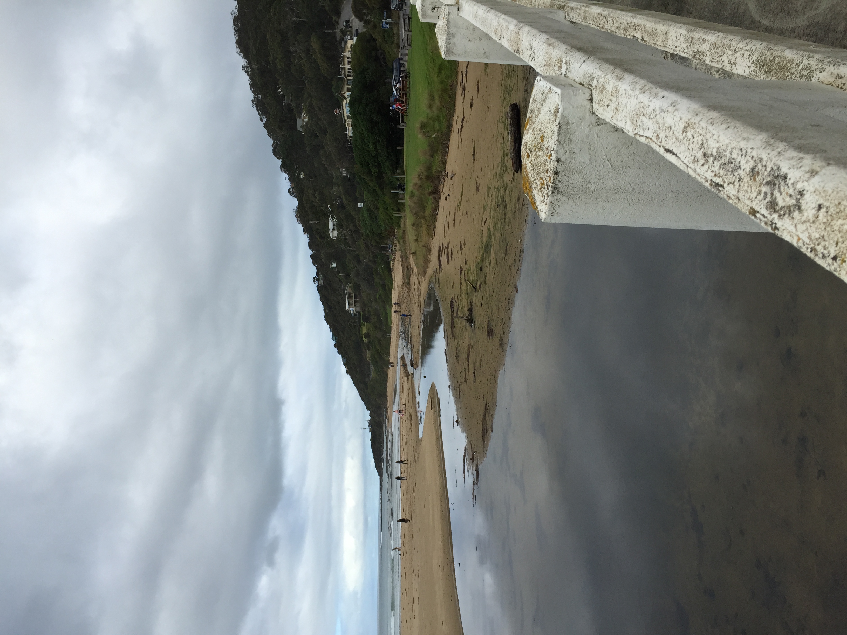
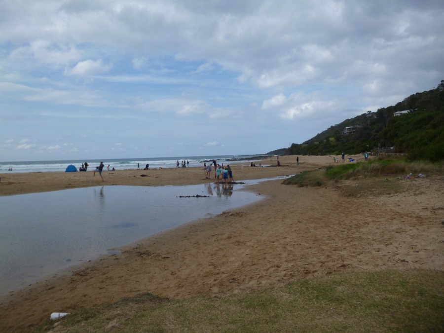
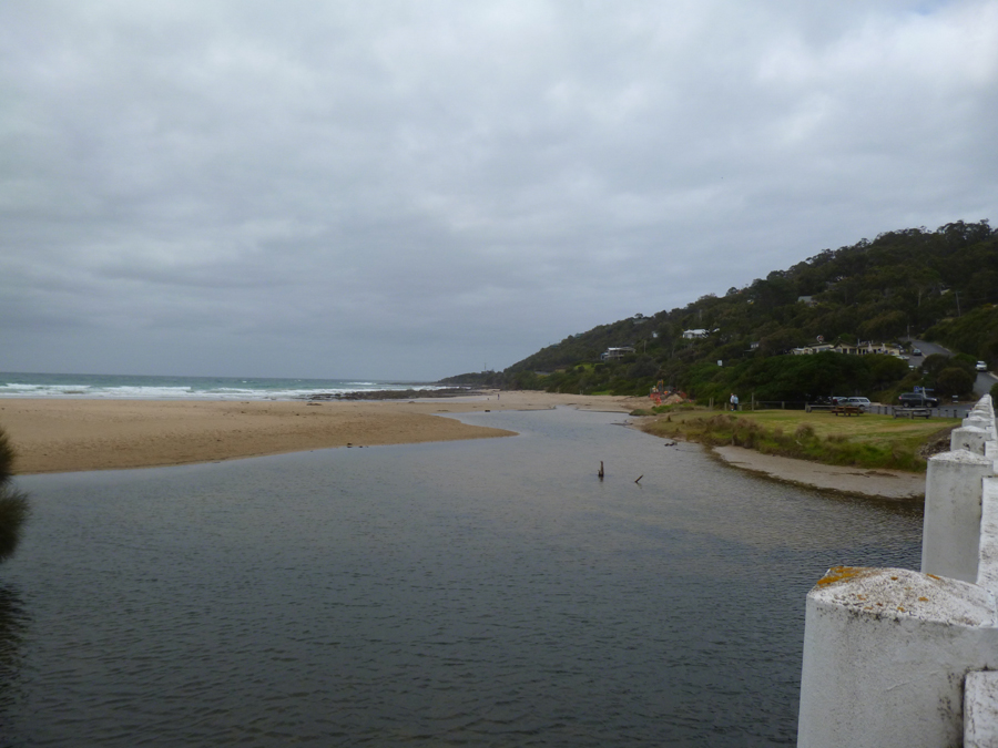
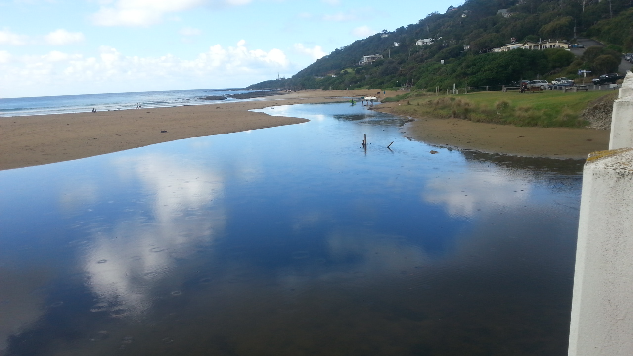
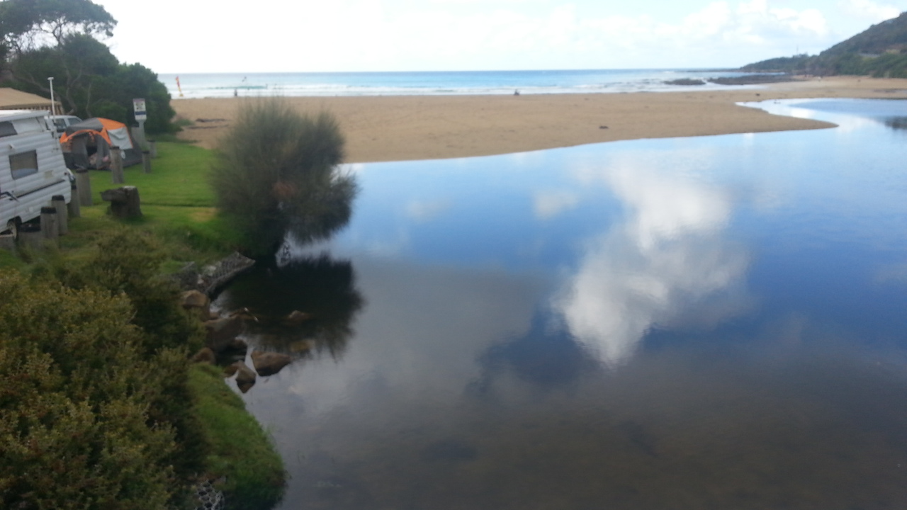
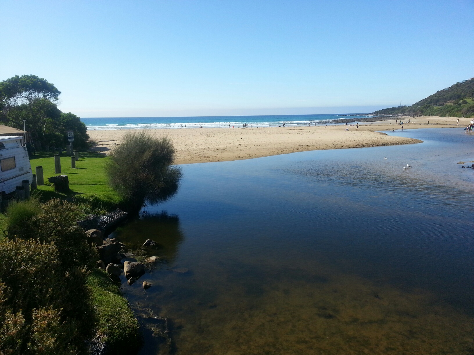
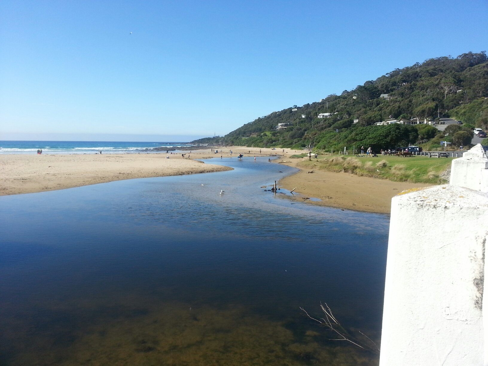
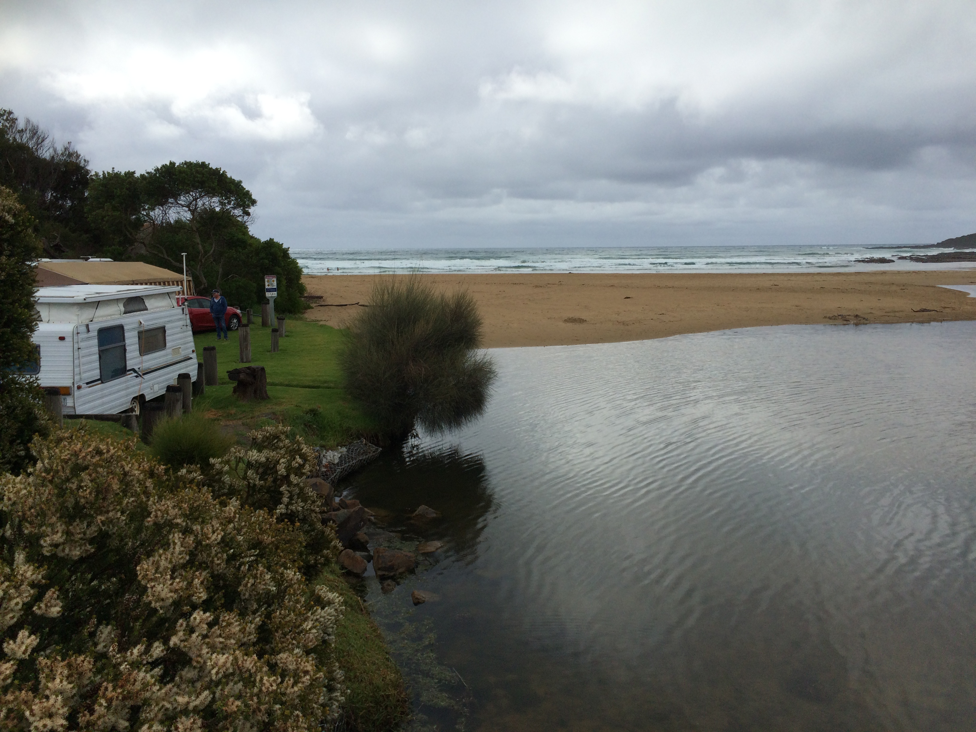
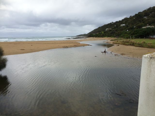
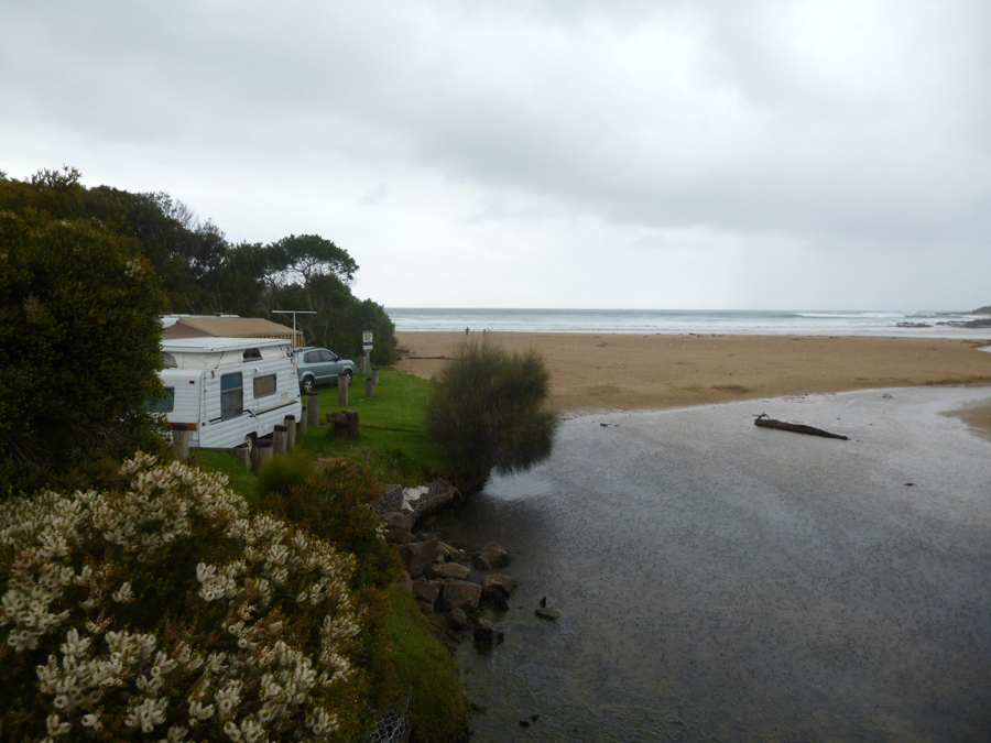
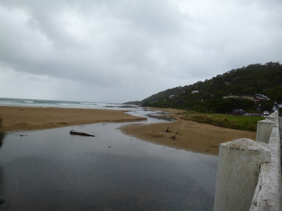
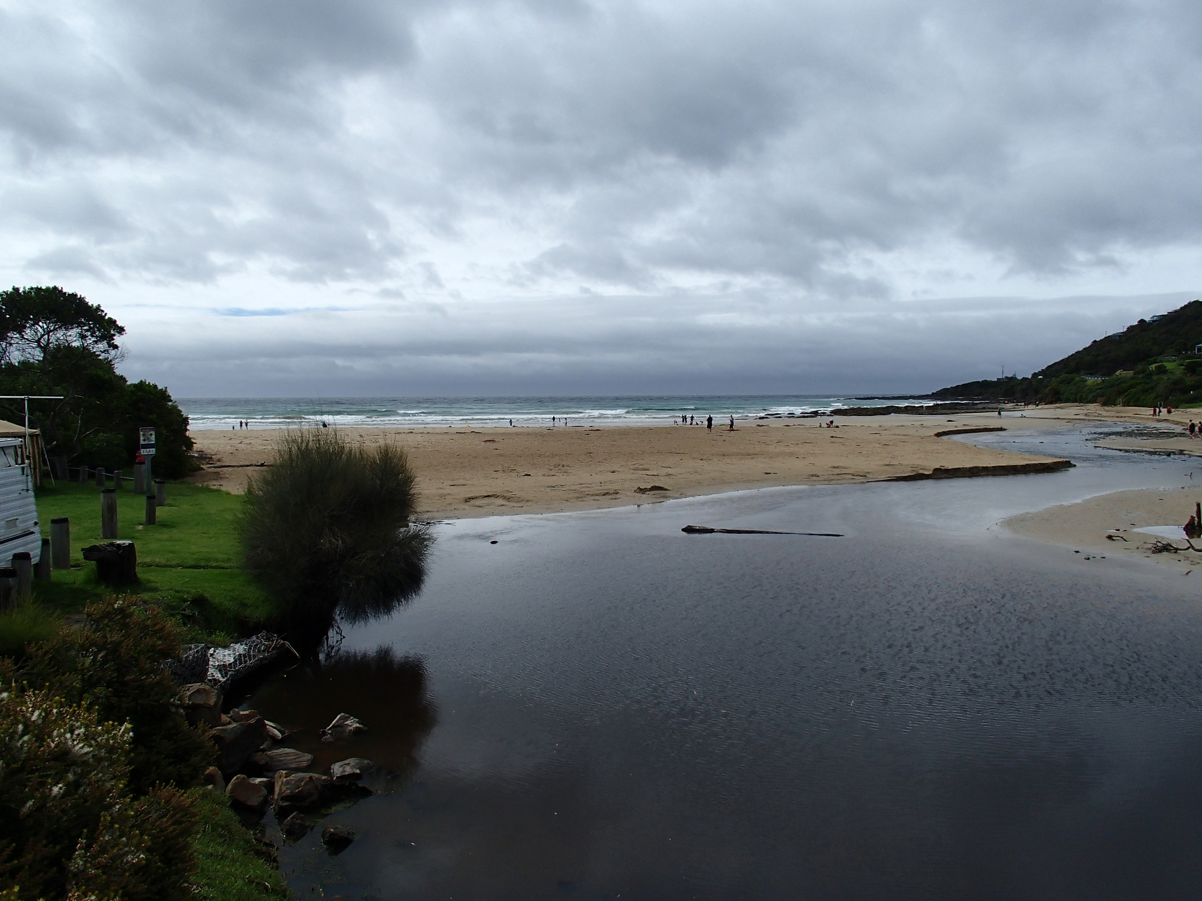
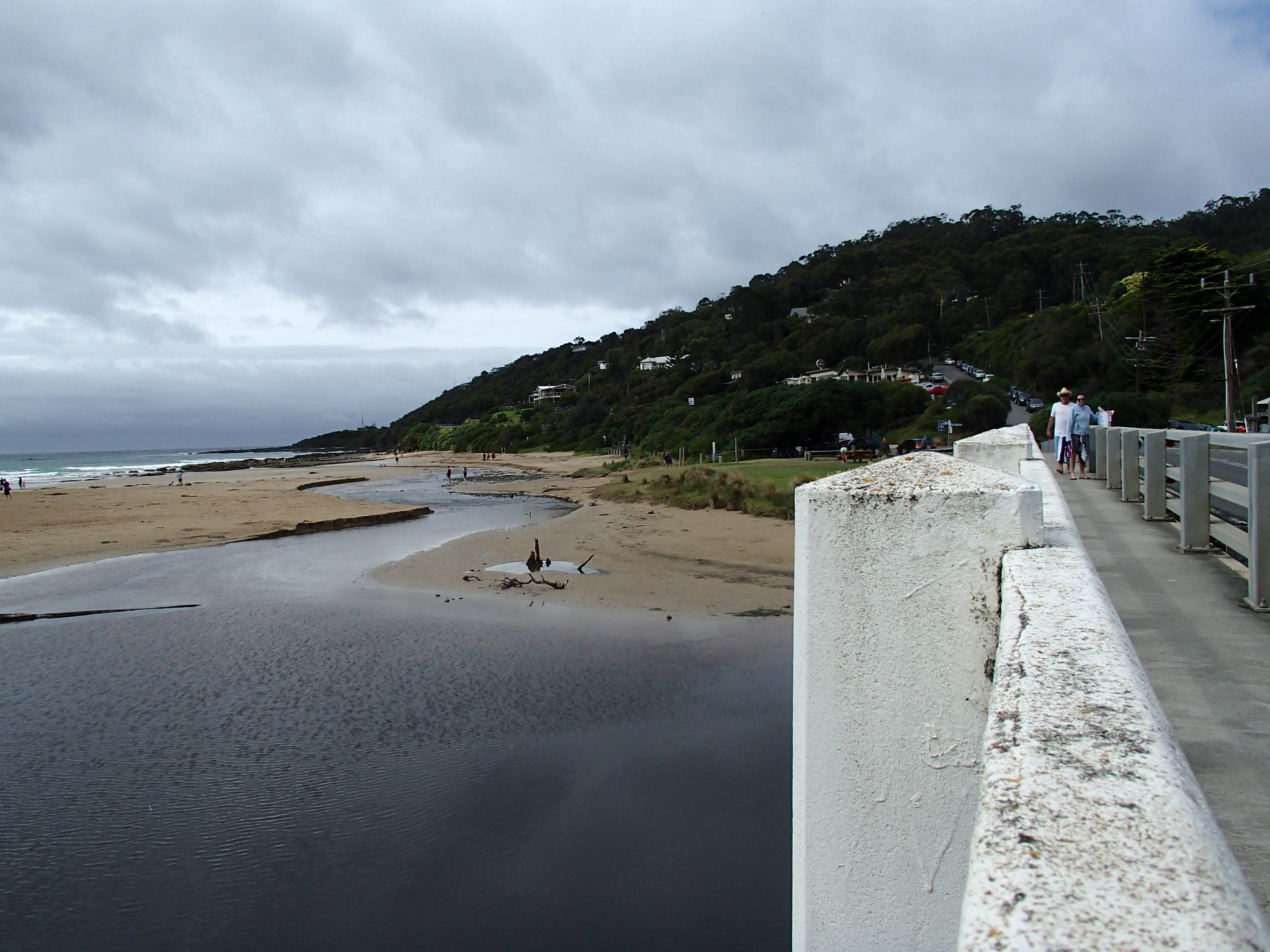
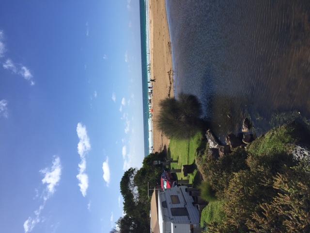
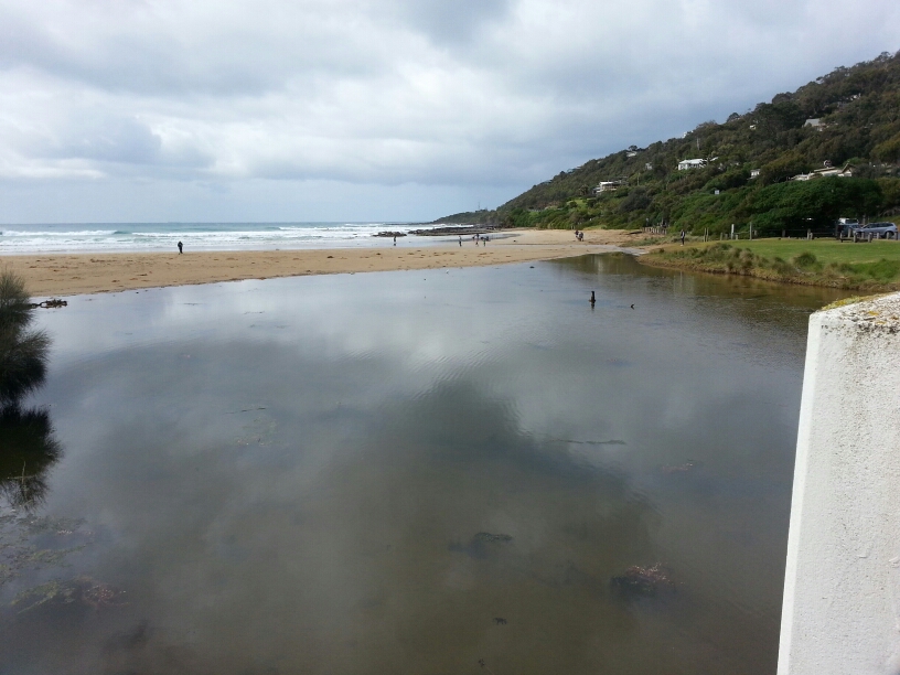
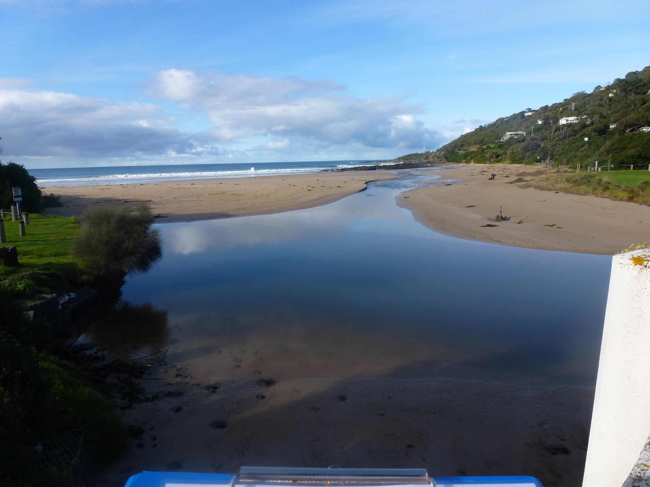
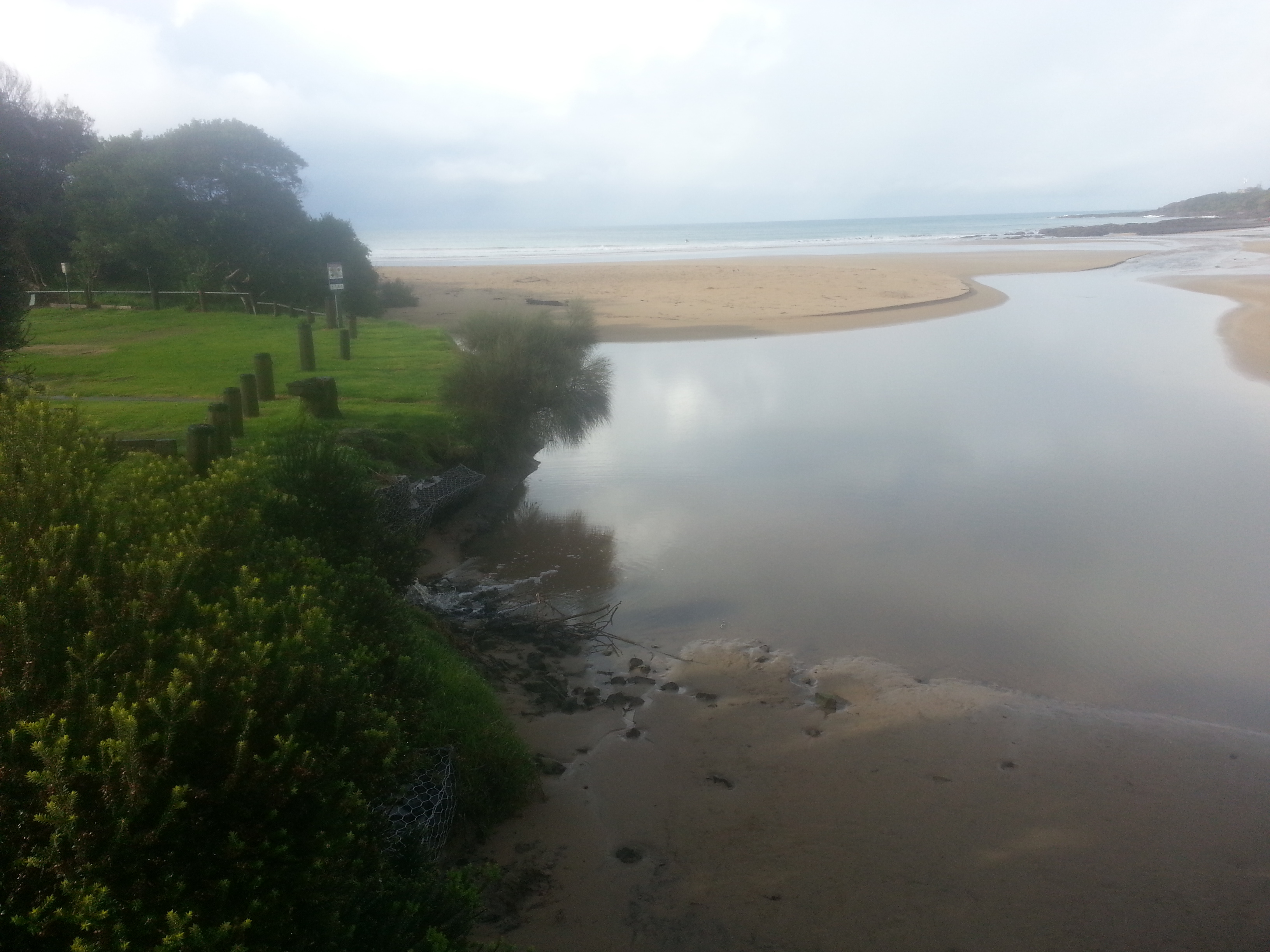
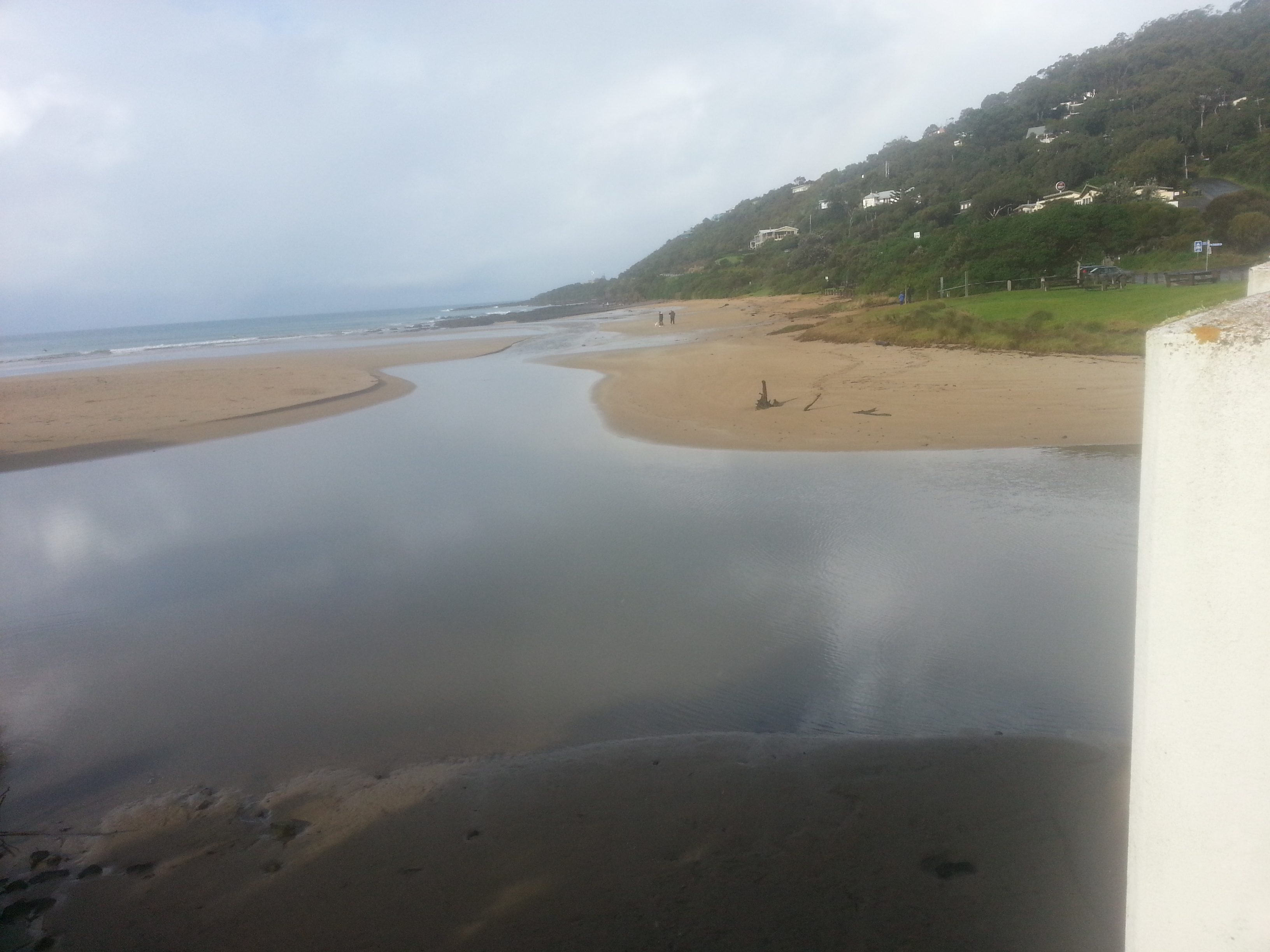
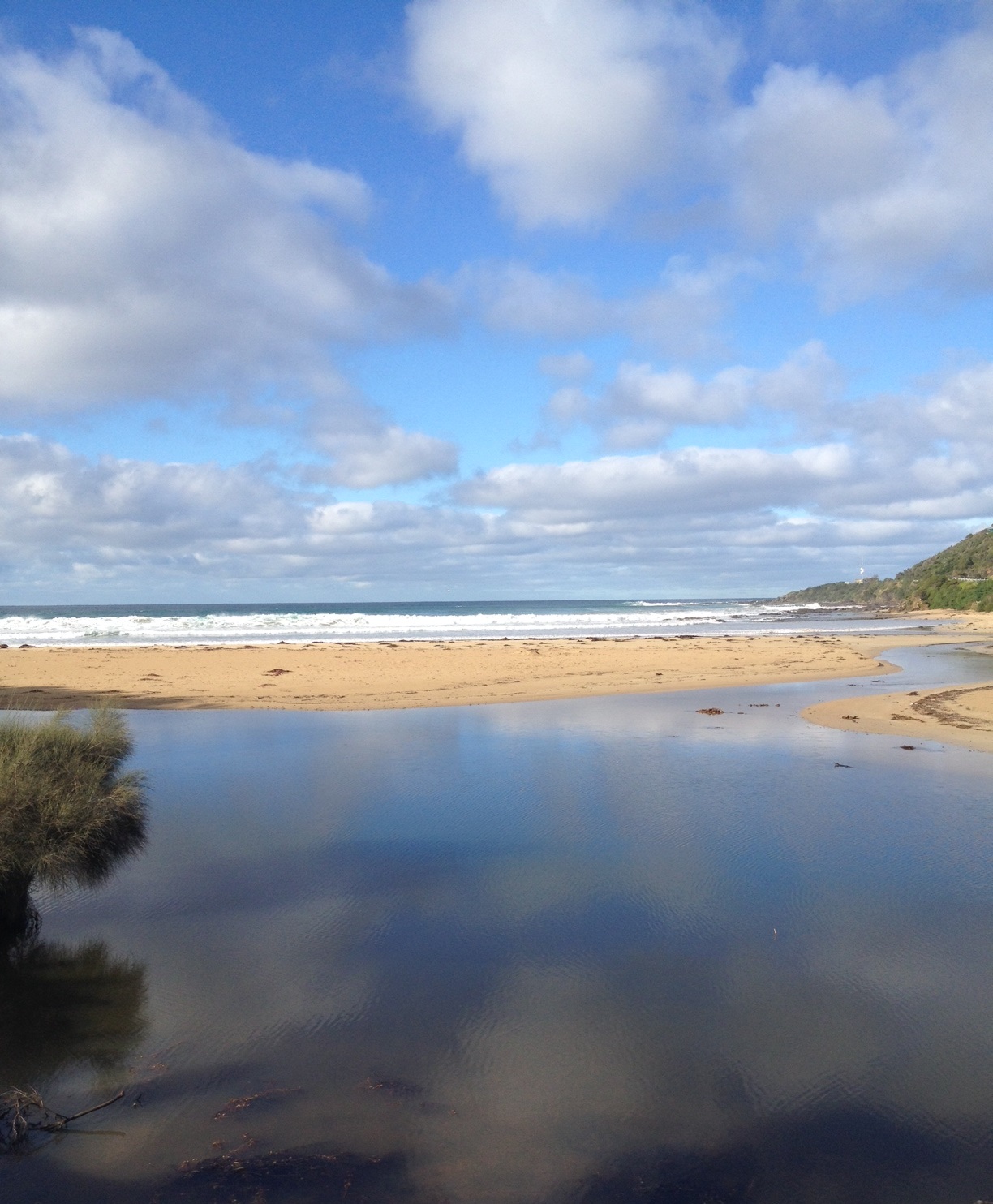
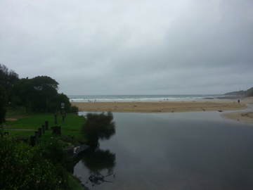
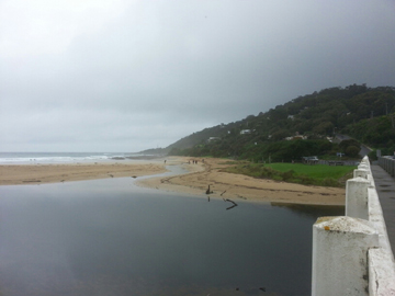
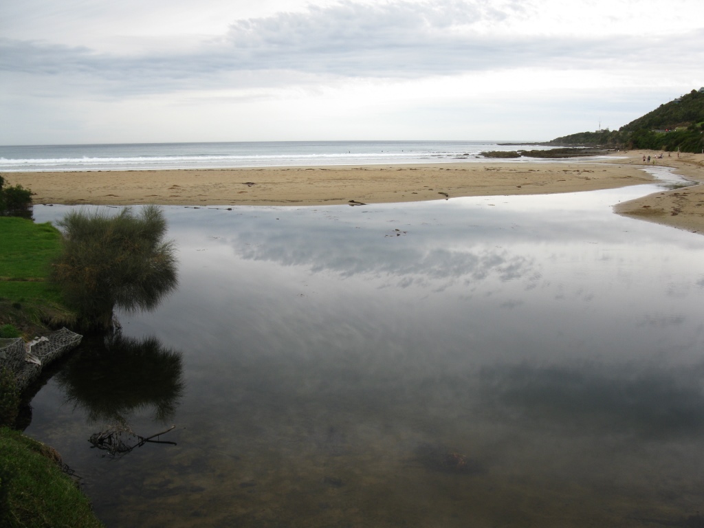
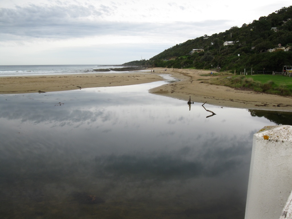
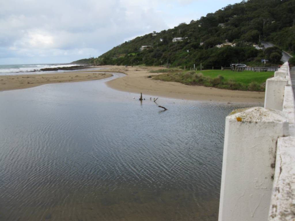
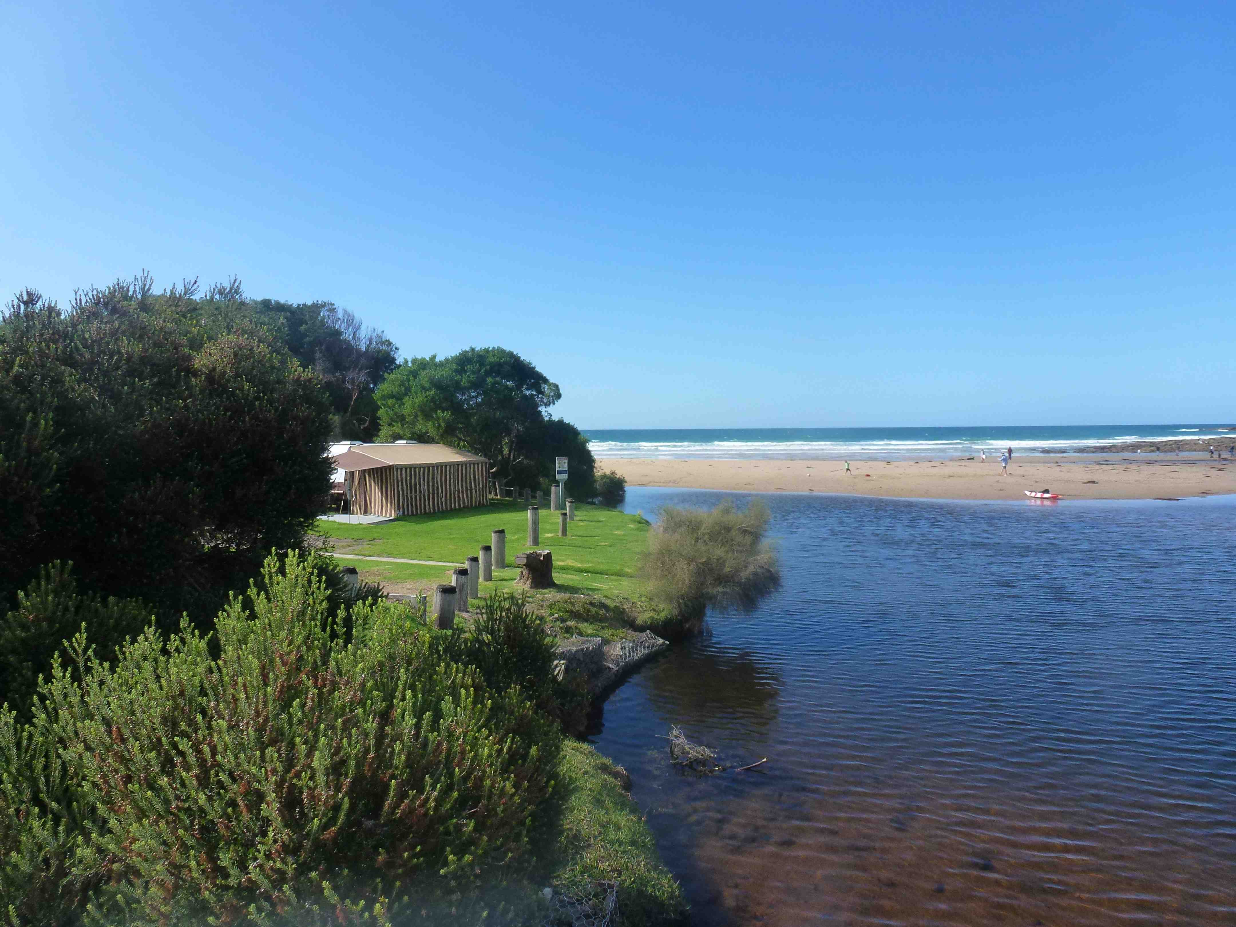
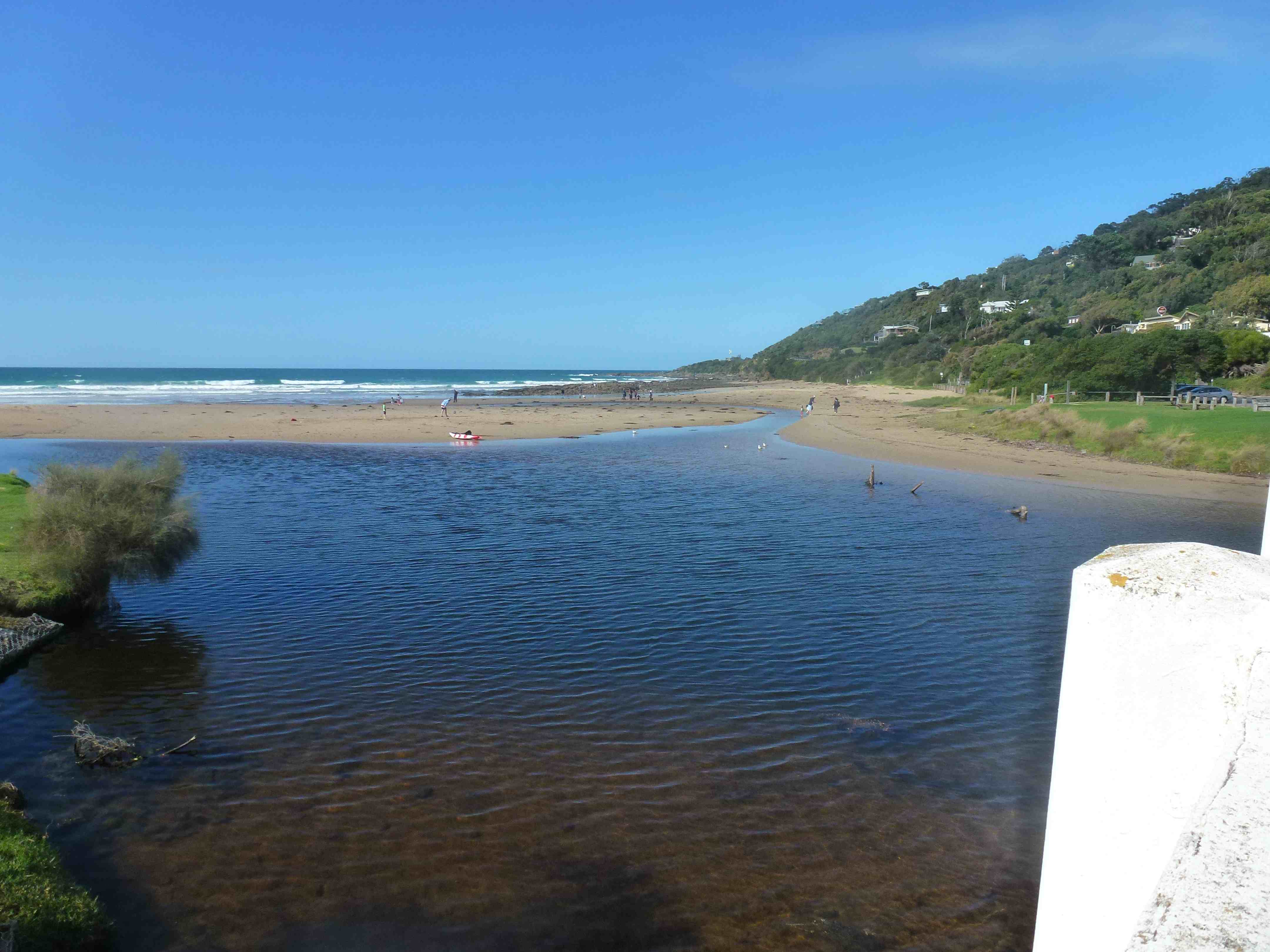
Active Mouth Condition 20-01-2007 - 21-04-2024Wye River Estuary
280 results found (Displaying 201 - 250)
| ID | Date | Status | Details | |
|---|---|---|---|---|
| #10133 | 7 Feb 2016 | Approved | ||
| #10119 | 16 Jan 2016 | Approved |
Notes:
The Lagoon or "pond" is closed for recreation due to high bacteria levels this advice has been given by Colac Shire council. Deidre Murphy, Corangamite Waterwatch, joined the sampling.  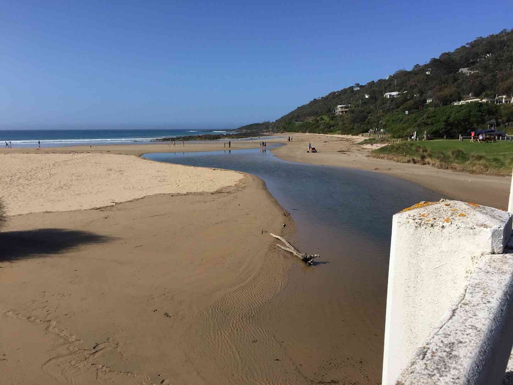 |
|
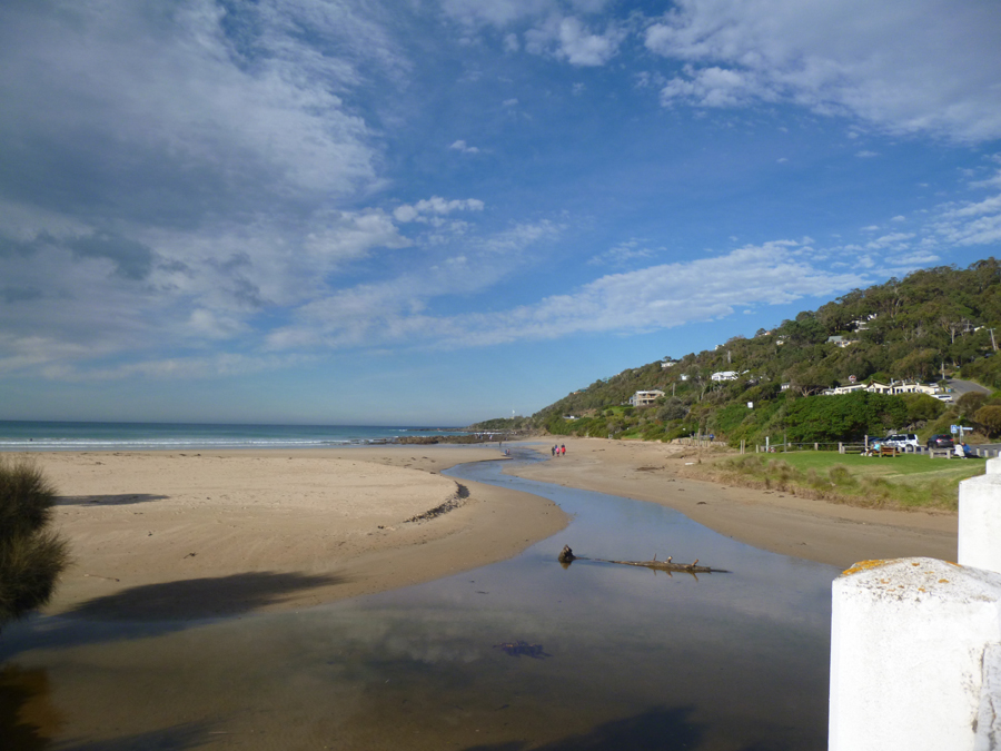
| #10022 | 20 Dec 2015 | Approved | Notes: This weekend the weather fire rating scale has been Extreme. it has been hot and windy. The storm last night has given us very little rain - but lightening strikes have caused fires round us. The river has formed a large pond on the sea side of the bridge. it has big clumps of yucky vegetation floating in it. the river is still flowing into the sea although holiday makers are constantly trying to dam it. | |
| #9981 | 6 Dec 2015 | Approved | Notes: The lagoon is getting bigger and wider, with all the sand under the bridge now submerged. Flow out was quite low. | |
| #9953 | 15 Nov 2015 | Approved | Notes: Windspeed picked up during our observation - by the time we had finished it was more like Beaufort 4. Still a lot of sand under the bridge and around measuring scale. | |
| #9924 | 1 Nov 2015 | Approved | ||
| #9905 | 18 Oct 2015 | Approved | ||
| #9870 | 4 Oct 2015 | Approved |
Notes:
Daylight saving began today Main walkway to beach- Gap between the pedestrian ramp and the sand is about 50 cm- making it a very large step There is a seaweed sculpture on the beach- made by kids. There is a lot of sand up in the mouth of the river ,up -under the bridge. |
|
| #10023 | 20 Sep 2015 | Approved | ||
| #9828 | 6 Sep 2015 | Approved | Notes: A very calm morning - surprisingly no wind | |
| #9787 | 16 Aug 2015 | Approved | ||
| #9758 | 2 Aug 2015 | Approved | ||
| #9739 | 19 Jul 2015 | Approved | ||
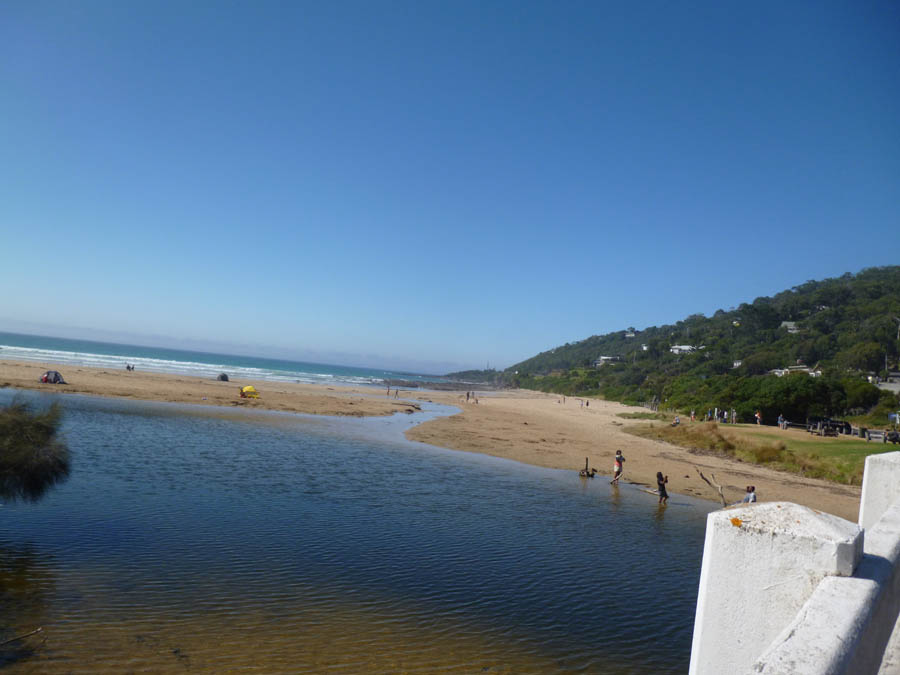
| #9700 | 5 Jul 2015 | Approved | Notes: Water was very clear following high tides and storms | |
| #9670 | 21 Jun 2015 | Pending |
Notes:
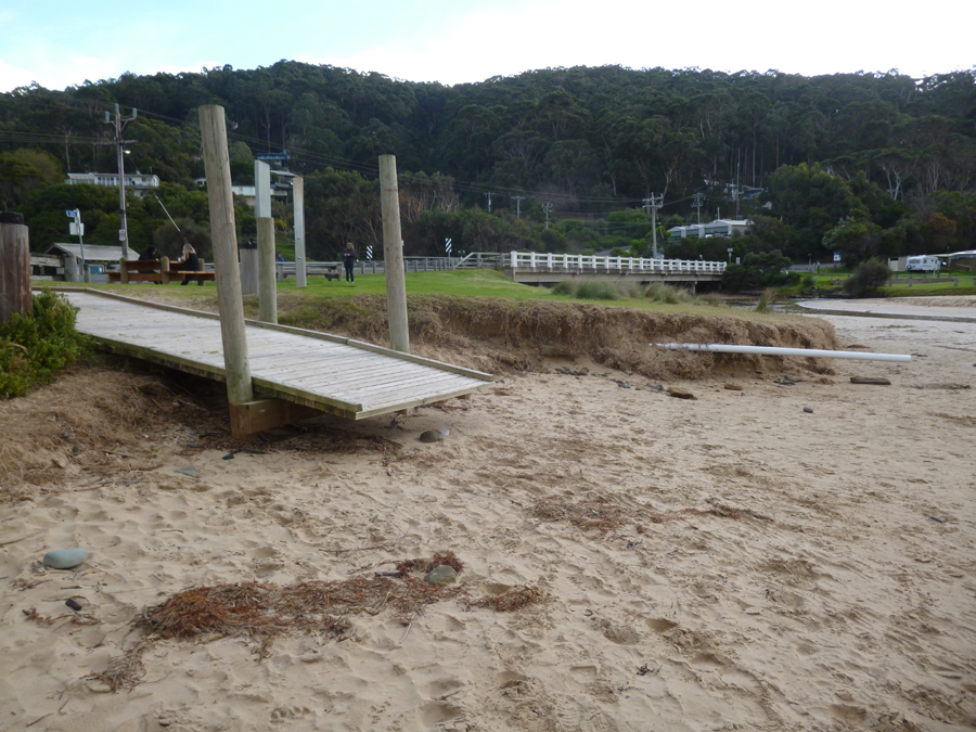
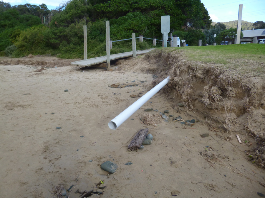
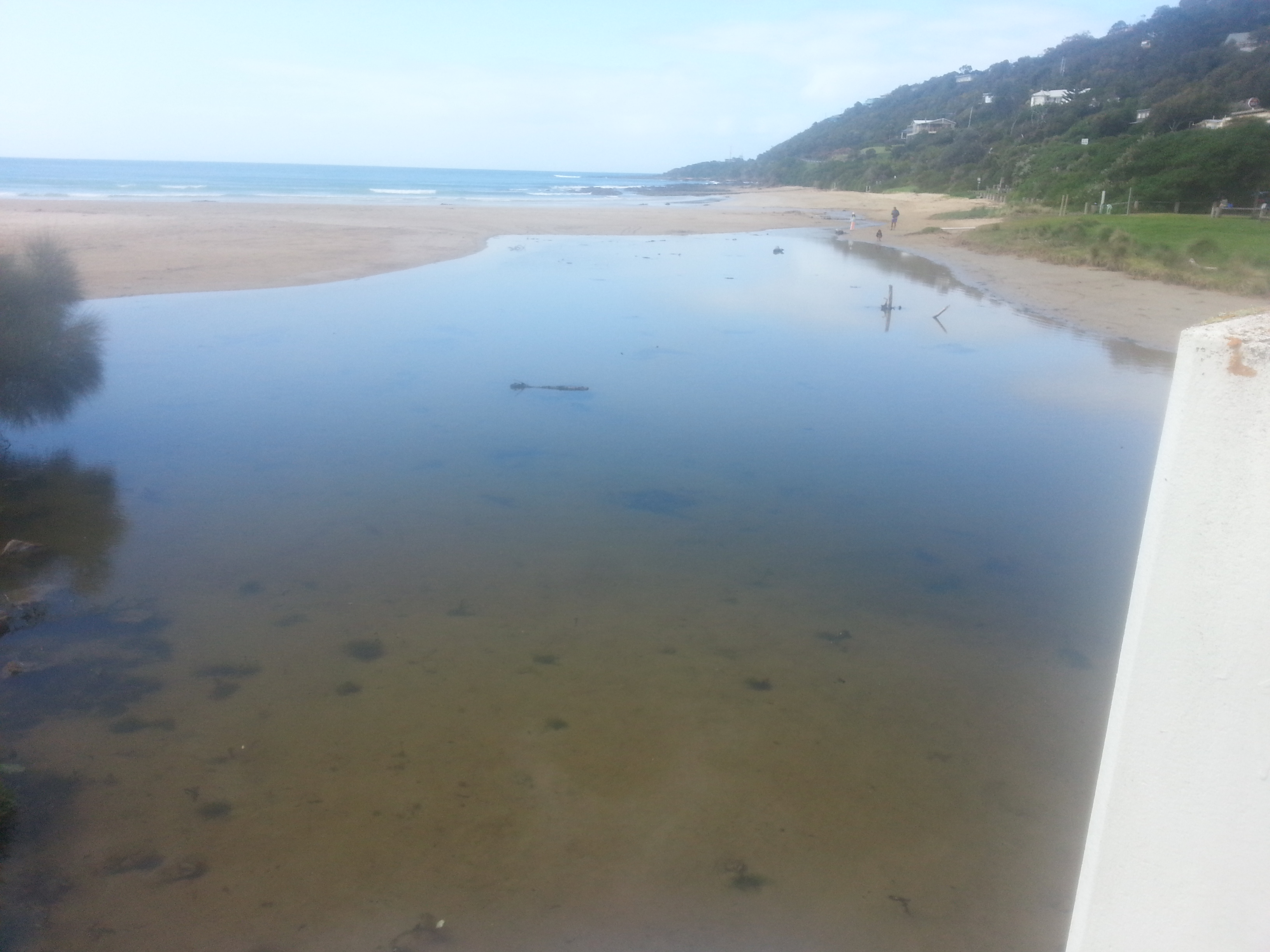
.Shortest day of the year .20/6/15 very high tide at 14.38pm , waves upstream of bridge .erosion under beach access .stones exposed in river bed .white pipe on beach broken off and exposed .river from bridge looked very clear ..not very deep |
|
| #9649 | 7 Jun 2015 | Approved | Notes: Recent storm damage observed around entry ramp to the beach and erosion of the bank- photos attached. Also photo of exposed bank and sand below the Wye bridge photopoint site. | |
| #9608 | 17 May 2015 | Approved | ||
| #9587 | 3 May 2015 | Approved | Notes: some grading work has been done in the past two weeks near opening of large drain. Have taken photos. | |
| #9522 | 19 Apr 2015 | Approved | Notes: High rainfall and wind overnight | |
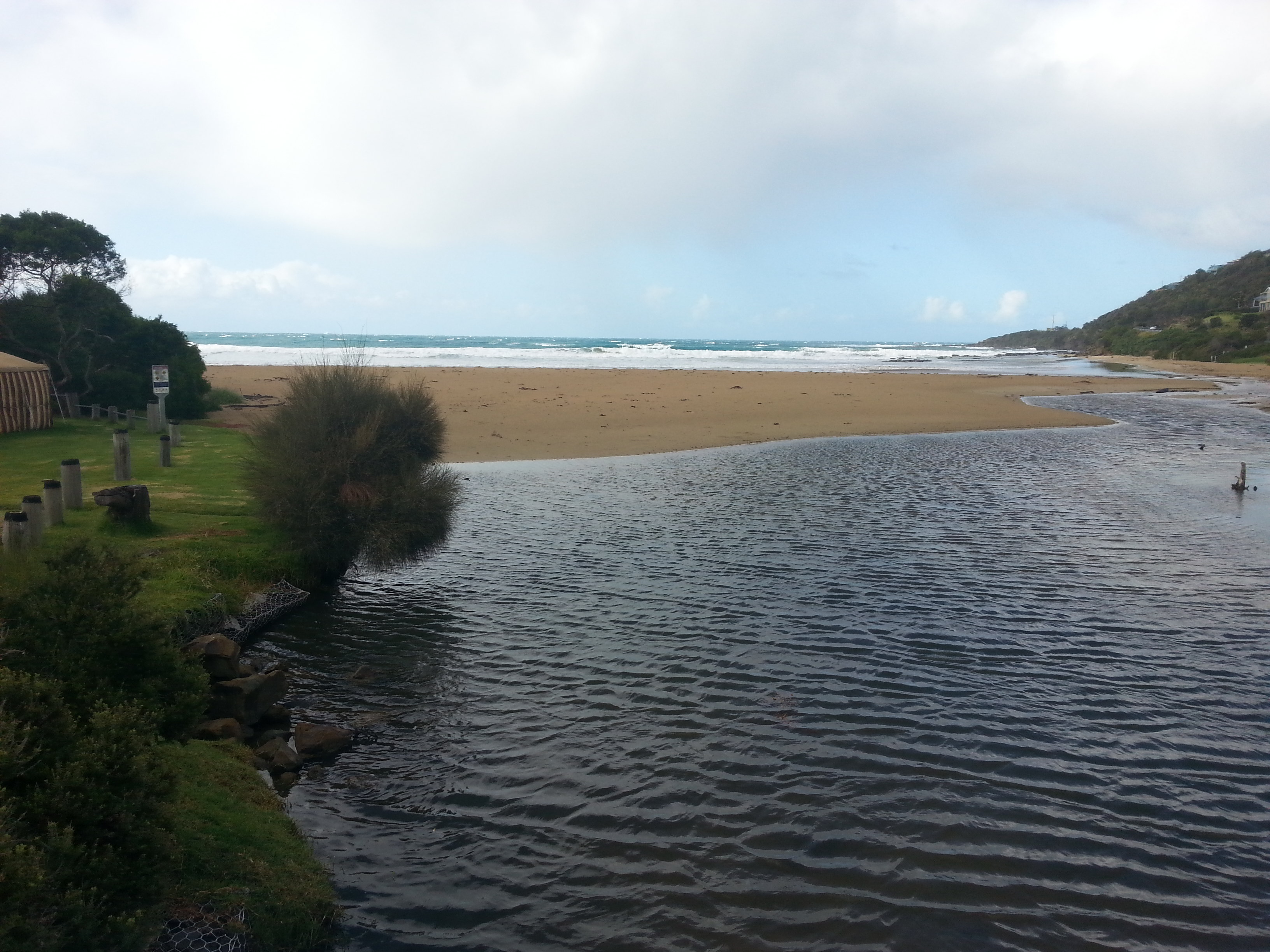
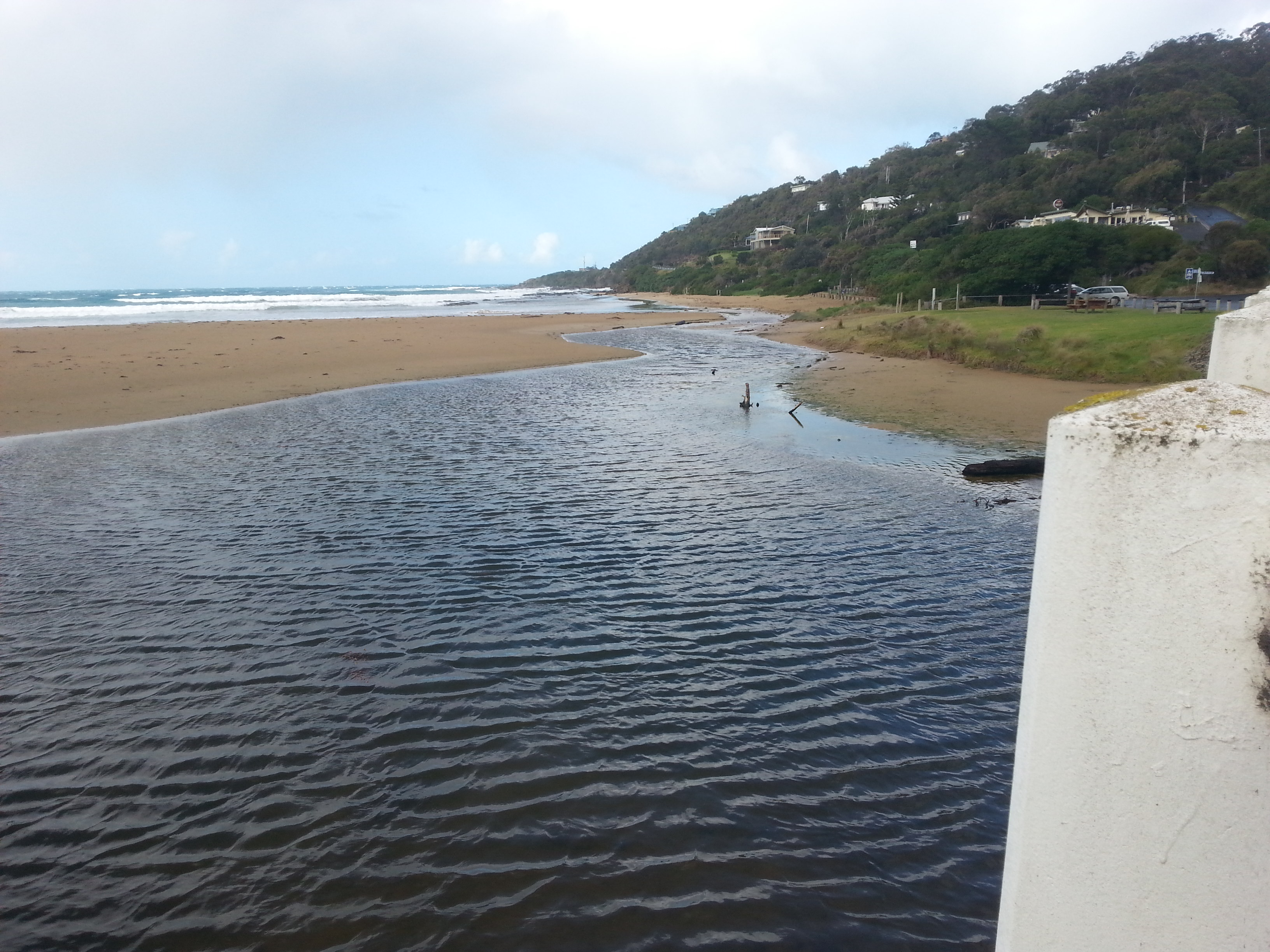
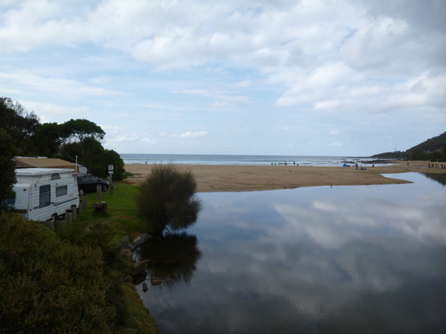
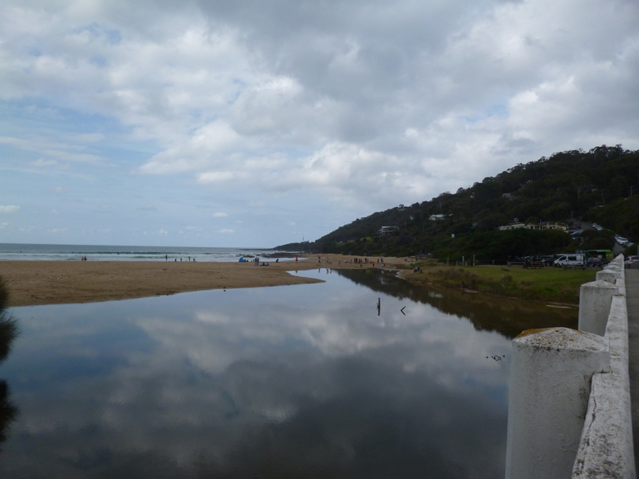
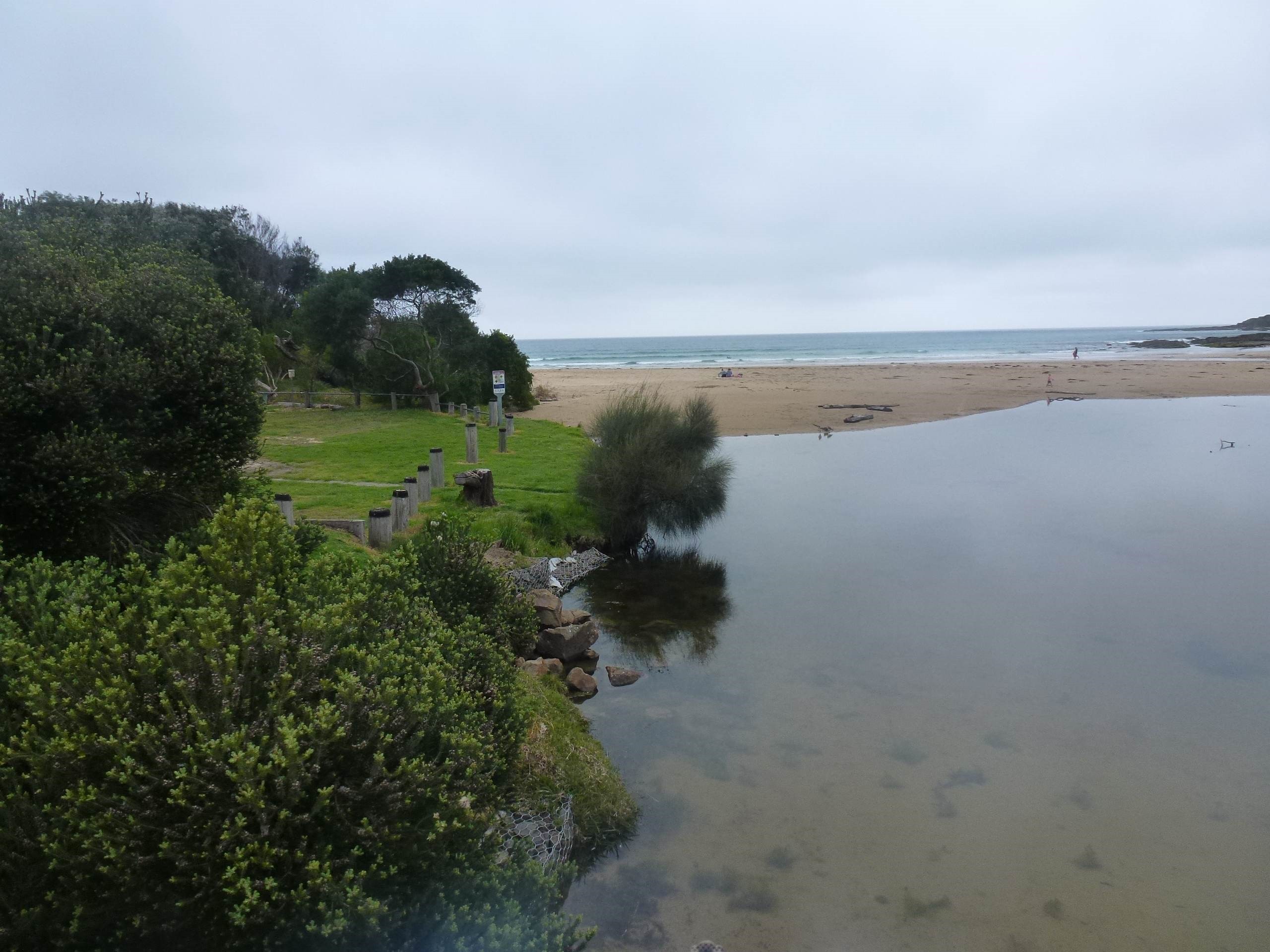
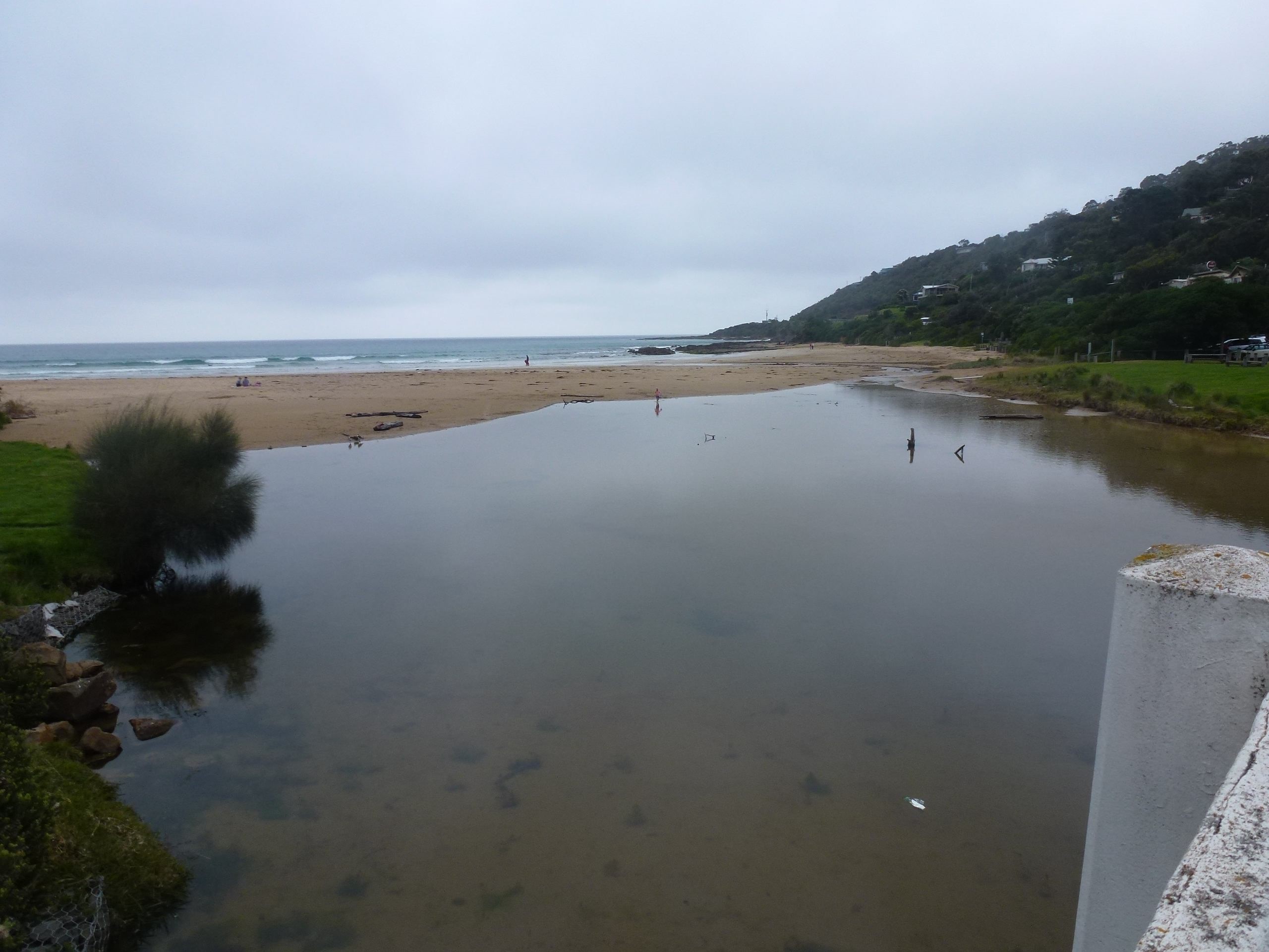
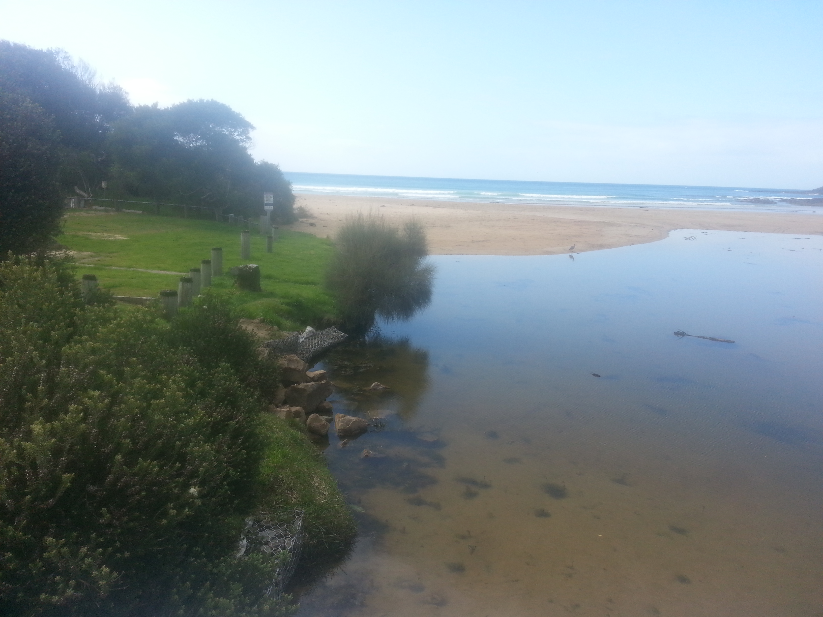
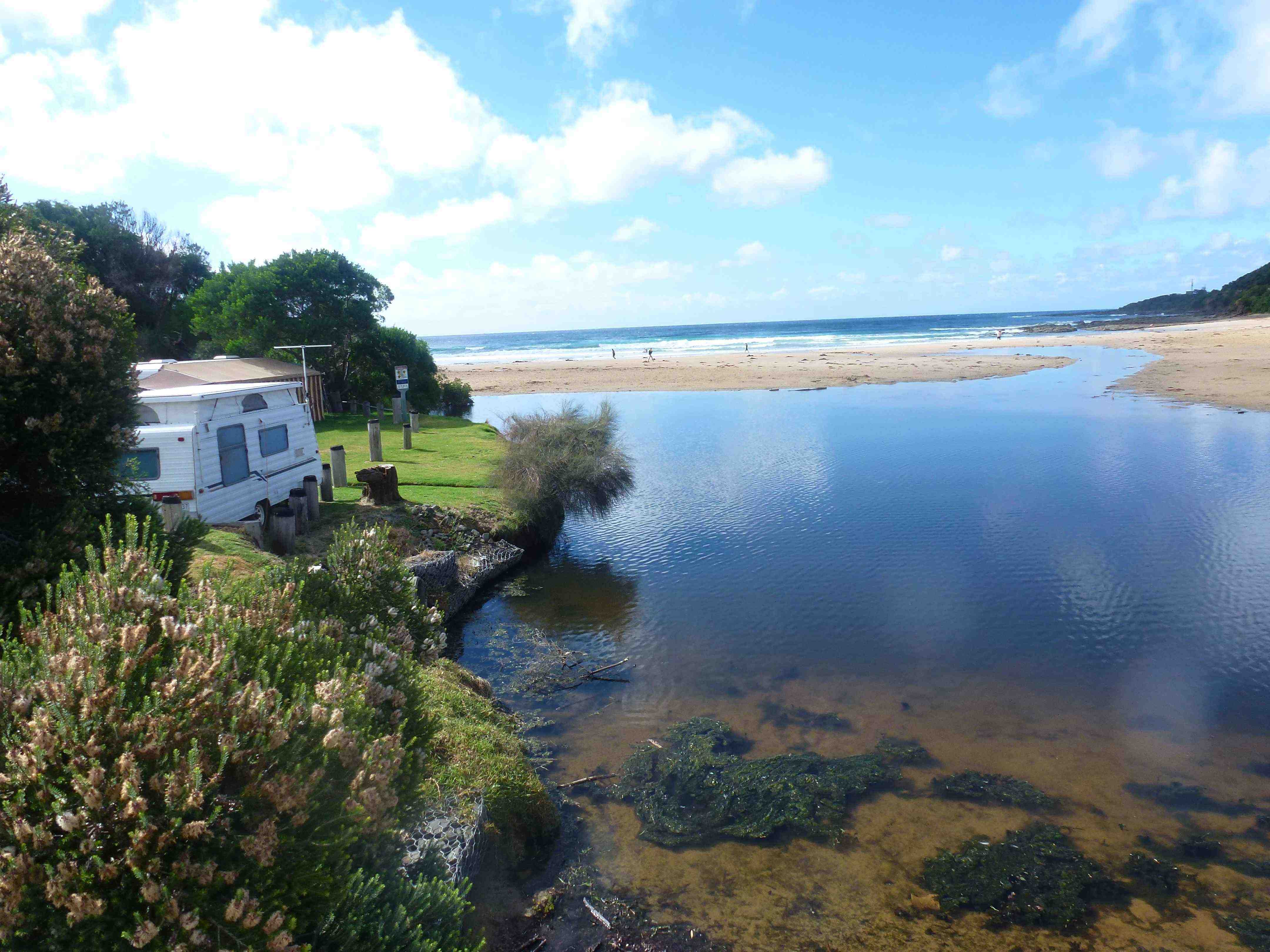
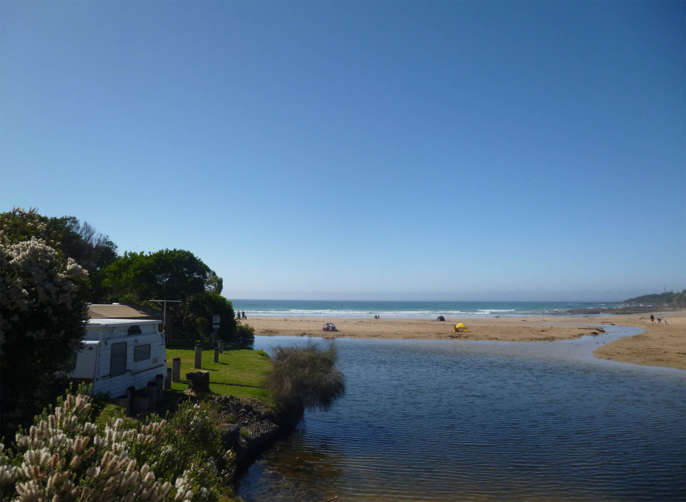
| #9474 | 5 Apr 2015 | Approved | Notes: Pond area of Wye River is narrowing near the mouth - children often block the flow with 'play' constructions, see photo attached. | |
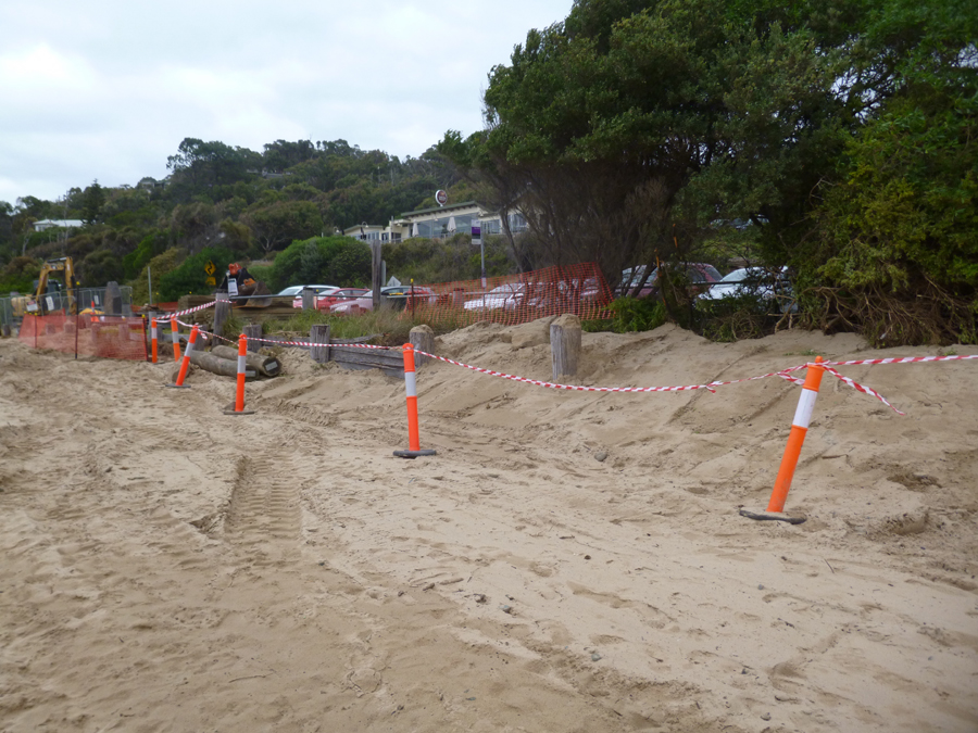
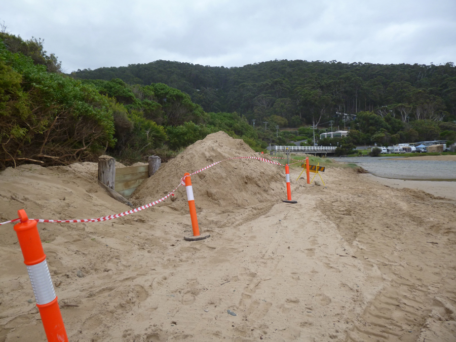
| #9444 | 15 Mar 2015 | Approved | Notes: Otway Coast Council is replacing the old retaining wall which appears to be red-gum, with what looks like treated pine. Sand movement obvious - photos attached. | |
| #9428 | 1 Mar 2015 | Approved | Notes: thunderstorm evening of 28/2 , lagoon beach side of bridge different shape to usual | |
| #9410 | 15 Feb 2015 | Approved |
Notes:
Water height 1.3m on pole by bridge 13mm rain on Friday night but flow still low, not enough to modify lagoon |
|
| #9352 | 1 Feb 2015 | Approved |
Notes:
very grey previous couple of days with showers. river pool on sea side of bridge very calm and large. river really winding its way over the beach. The Level of the water was at 1.35 on the pole. the water was just touching the pole. |
|
| #9334 | 18 Jan 2015 | Approved | ||
| #9347 | 14 Jan 2015 | Approved | Notes: Rocks exposed at mouth of estuary. High rainfall in the past 24 hours. | |
| #9304 | 4 Jan 2015 | Approved |
Notes:
water level was 1.4 m : outflow wide and slow 10 mls of rain in one hour recorded the day before ( 03/01/15) |
|
| #9280 | 21 Dec 2014 | Approved |
Notes:
Water level marker -in sand - covered, by sand up to 1.3 metres mark. The algae that was prevalent last months is noticeably les, but still present near banks. There is more sand under the bridge- with water channel width reduced at this point, compared to previous months. |
|
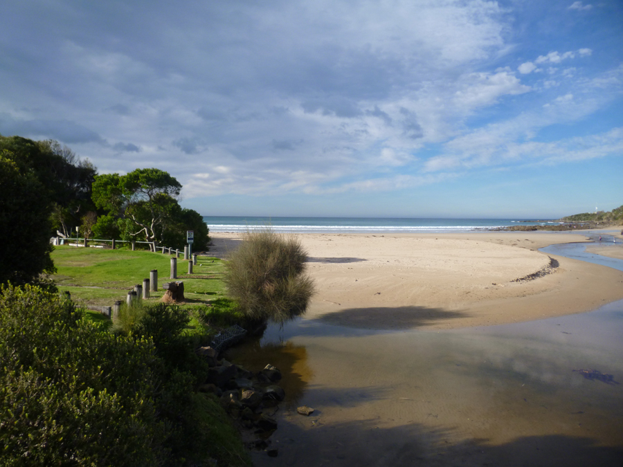
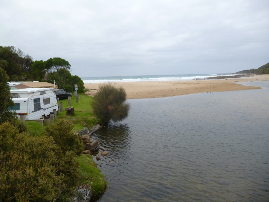
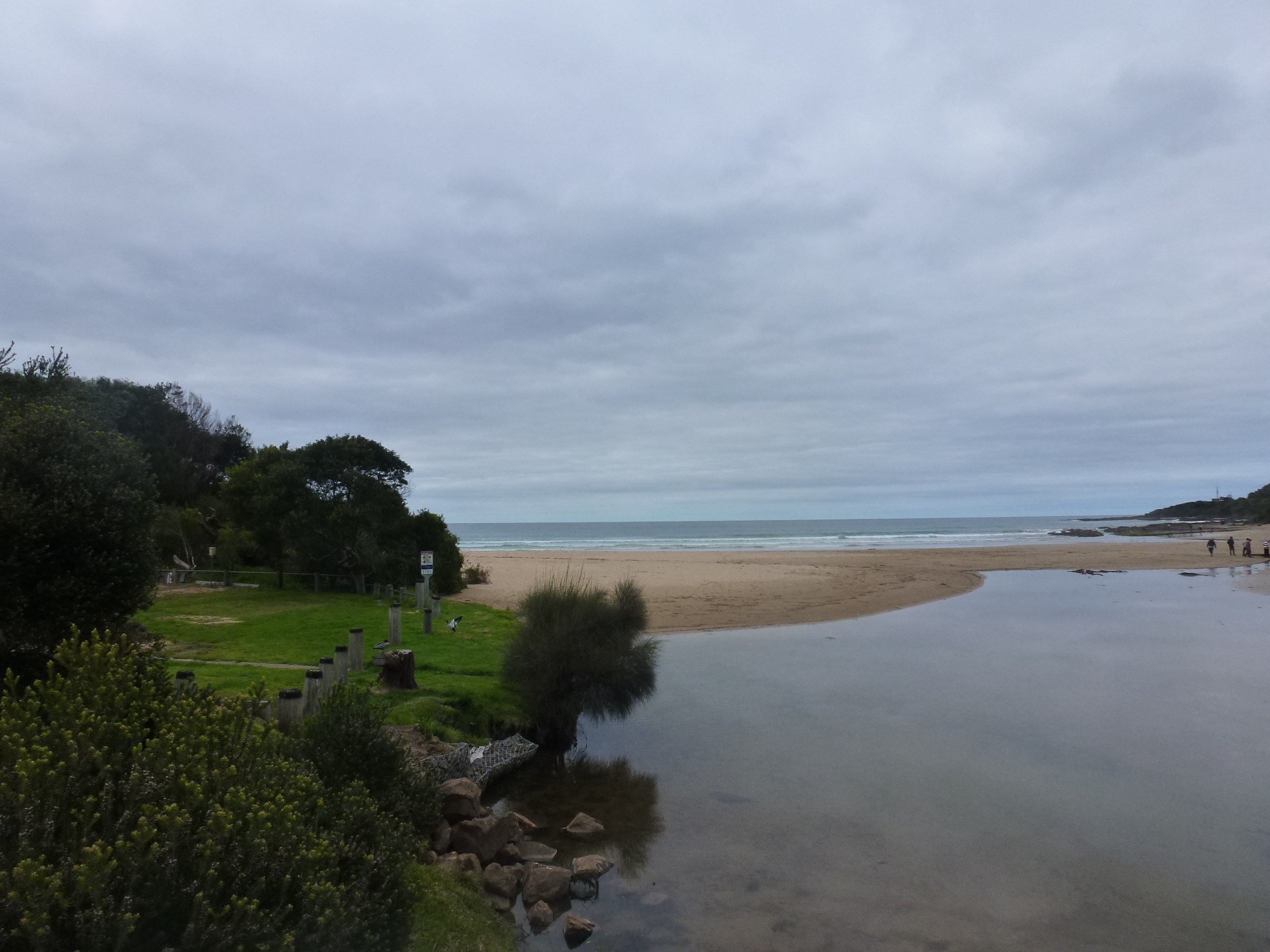
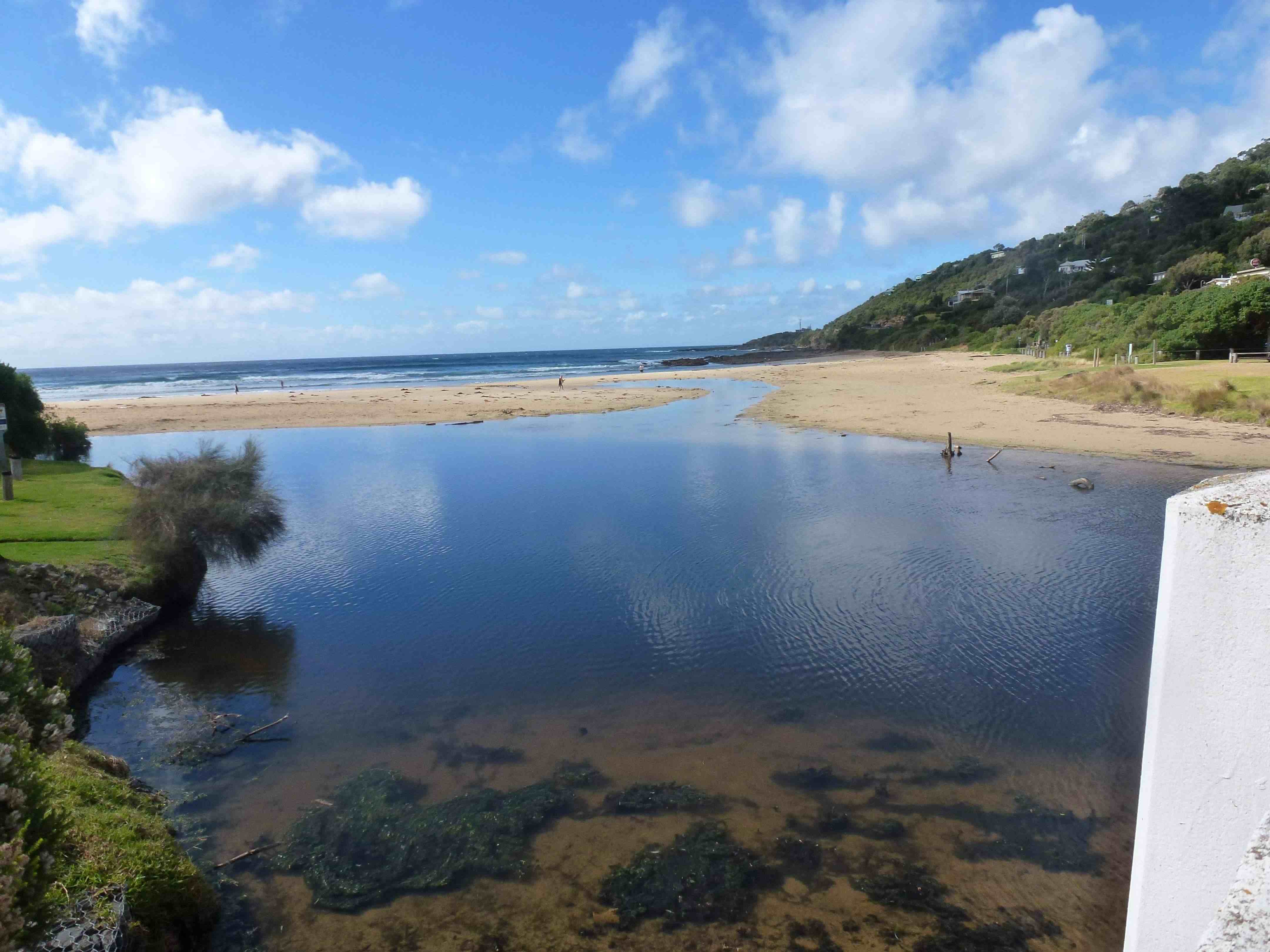
| #9248 | 7 Dec 2014 | Approved | Notes: River mouth the widest we have seen for a long time. | |
| #9218 | 16 Nov 2014 | Approved |
Notes:
White PVC drainage pipe has at last been cut back! it will be a very low tide at 12:18 as very low now. lots of green algae in river. water level was aprox. 1.5 on river gauge.(clear reading obscured by green algae) no rain all week until saturday evening then 13 mil. "Pond" (river on sea side of bridge by caravan park) very big with very narrow shallow opening to sea. |
|
| #9238 | 2 Nov 2014 | Approved | Notes: Pipe now underwater. Water in lagoon very high. Heavy showers in past few days but opening still very narrow. | |
| #9177 | 19 Oct 2014 | Approved |
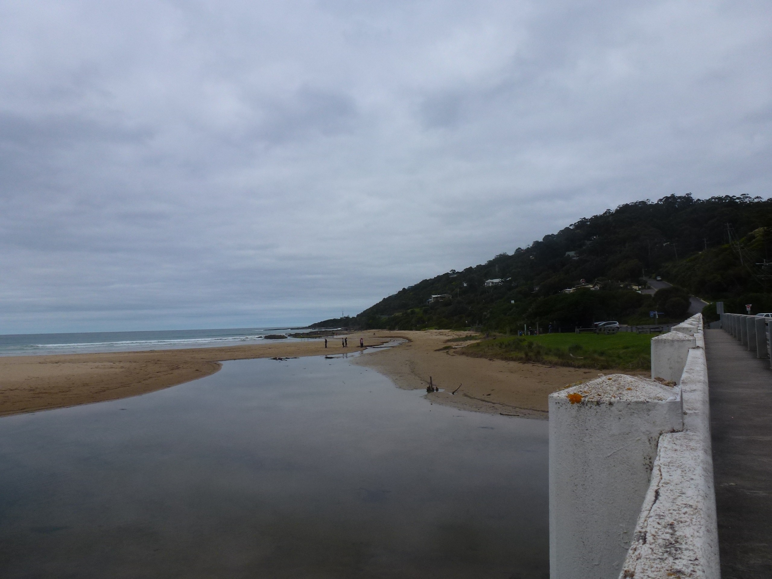
Notes:
Large lagoon with high water level - 1.5m on pole under bridge. Water pipe still exposed on beach, river right up next to it, no remedial action yet by OCC Mullet seen from bridge |
|
| #9172 | 5 Oct 2014 | Approved | ||
| #9144 | 21 Sep 2014 | Approved | ||
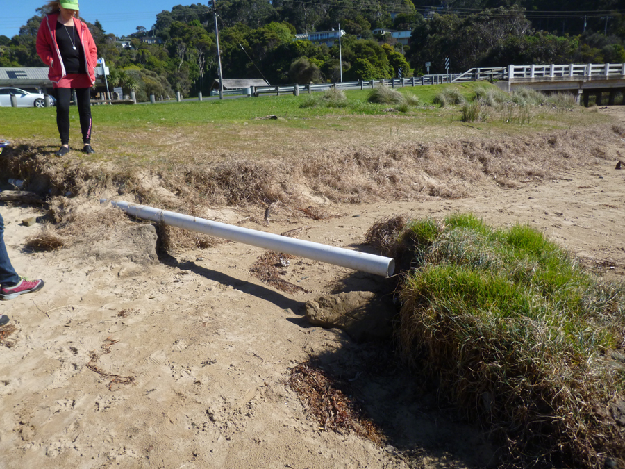
| #9101 | 7 Sep 2014 | Approved |
Notes:
*Exposed PVC drain pipe on the beach between sand and grass bank- OCC to be informed- photo taken. * North-side banks of river collapsing- OCC to be notified-photo taken * Tree stumps firmly embedded in river sand bar- photo taken |
|
| #9151 | 17 Aug 2014 | Approved | ||
| #9043 | 3 Aug 2014 | Approved | ||
| #9024 | 20 Jul 2014 | Approved | ||
| #9021 | 6 Jul 2014 | Approved | Notes: Very high rainfall over last week. | |
| #8946 | 15 Jun 2014 | Approved | Notes: height measure is the river next to the bridge was noted. It is normally high and dry: today measured 1.2 | |
| #8896 | 1 Jun 2014 | Approved | ||
| #8866 | 18 May 2014 | Approved | ||
| #8850 | 4 May 2014 | Approved | ||
| #8836 | 20 Apr 2014 | Approved |
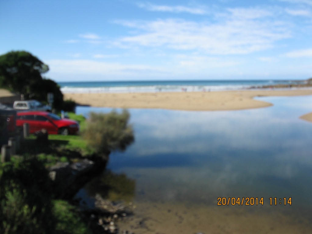 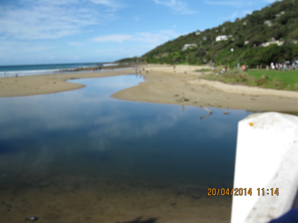 |
|
| #8814 | 6 Apr 2014 | Approved | ||
| #8784 | 16 Mar 2014 | Approved | ||
| #8757 | 2 Mar 2014 | Approved | ||
| #8748 | 16 Feb 2014 | Approved | ||
| #8702 | 2 Feb 2014 | Approved |
Notes:
* No rain over last two weeks * Numerous attempts at damming the river by kids - however river still flows, finds its way through as its always done. |
|
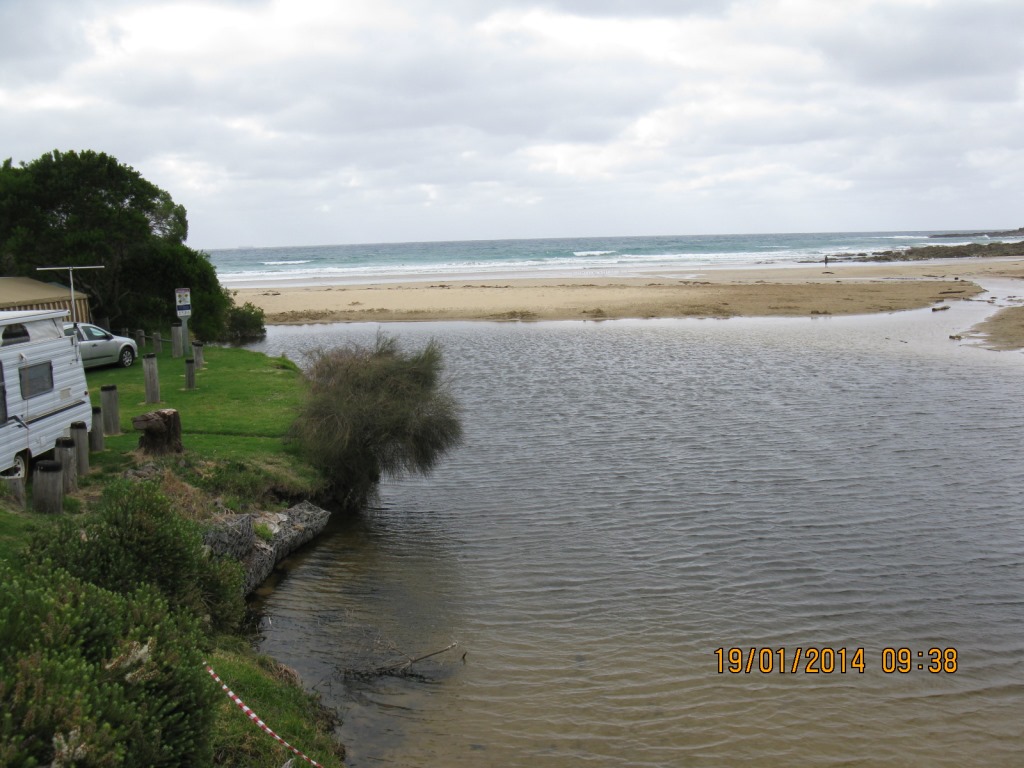
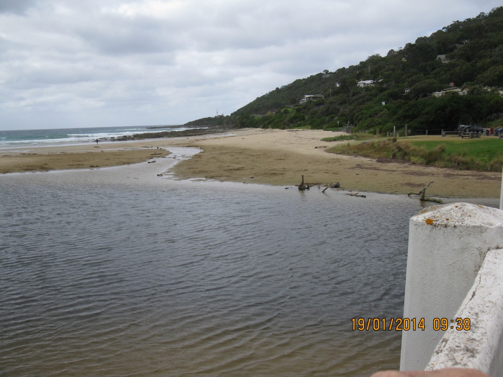
| #8694 | 19 Jan 2014 | Approved | ||


All content, files, data and images provided by the EstuaryWatch Data Portal and Gallery are subject to a Creative Commons Attribution License
Content is made available to be used in any way, and should always attribute EstuaryWatch and www.estuarywatch.org.au