EstuaryWatch Data Portal
GMC Gellibrand River Estuary Mouth Observation Site
14 March 2018
Observation details
Overview
| Estuary | Gellibrand River Estuary |
|---|---|
| Site | Gellibrand River Estuary Mouth Observation Site |
| Observation ID | #11915 |
| Date and Time | Wednesday 14th March 2018 13:50pm |
| Approved | Approved |
Notes
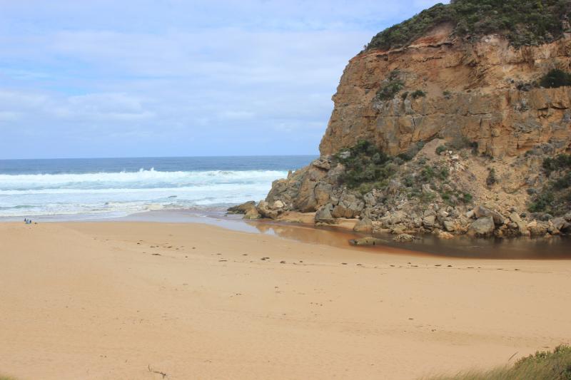
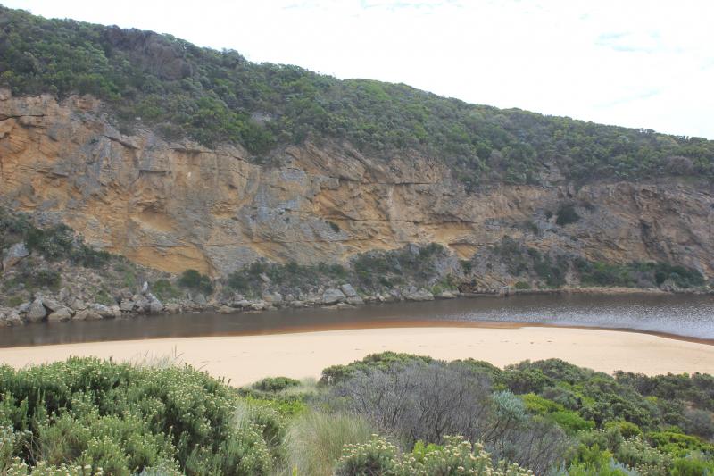
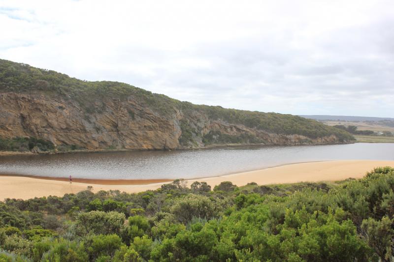
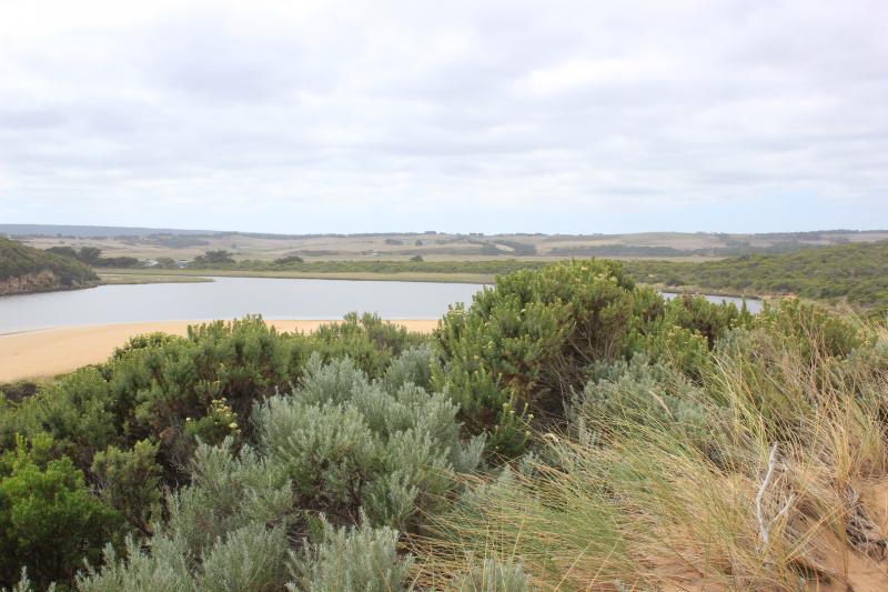
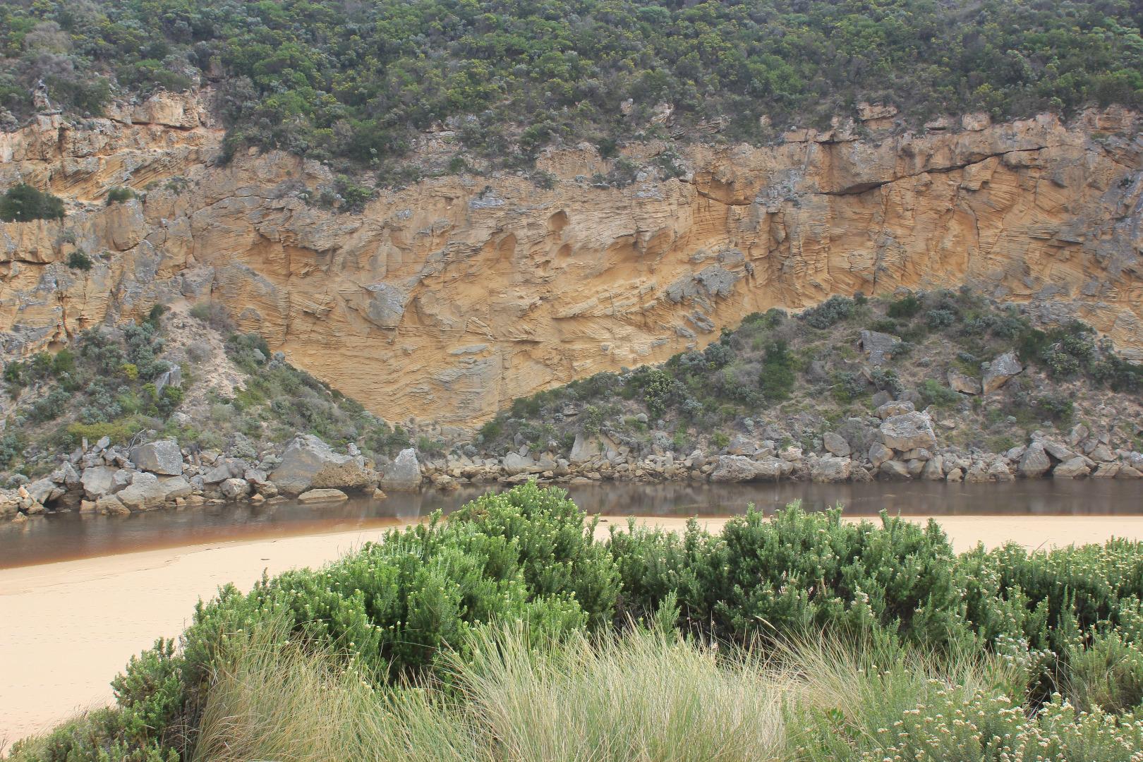
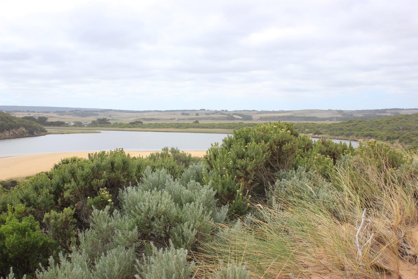
Observations taken close to low tide
Slight very pale discharge along foreshore for about 30m., sand built up almost completely across entrance, only narrow channel against cliff face but wider up stream of rocks. Occasional wave entering over a wide area from rough sea. Extremely strong longshore drift across entrance
Small sand cliffs forming at beach face east end of beach
Mouth Observation
| Mouth state | Open |
|---|---|
| Previous | O O C O C C C O O O O O C O O O O O O O O O O O O O O O O O O O O O O O O O O O P C C C C C C C O O O |
| Flow Present? | Yes |
| Previous | Y Y N N N N N Y Y Y Y Y N Y Y Y N Y Y Y Y Y Y Y Y Y Y Y Y Y Y Y Y Y Y Y Y Y Y Y N N N N N N N N Y Y Y |
| Flow Direction | Out |
| Previous | O O N N N N N O O O O O N O O O N O O O O O O O O O O O O O O O O O O O O O O O N N N N N N N N O I O |
| Above Sea | Above Estuary | |
|---|---|---|
| Berm Height (m) | ||
| Berm Length (m) |
Physical Condition
| Current | Mode | |
|---|---|---|
| Wind Direction | South | |
| Beaufort Scale | Gentle breeze | |
| Sea State | Rough |


All content, files, data and images provided by the EstuaryWatch Data Portal and Gallery are subject to a Creative Commons Attribution License
Content is made available to be used in any way, and should always attribute EstuaryWatch and www.estuarywatch.org.au