EstuaryWatch Data Portal
Observation details
Overview
| Estuary | Curdies River Estuary |
|---|---|
| Site | Curdies Mouth Condition |
| Observation ID | #13346 |
| Date and Time | Tuesday 1st October 2019 09:15am |
| Approved | Approved |
Notes
We used the last of our chemicals to calibrate the multi-function meter, and will be unable to re-calibrate this meter until more chemicals are provided. When we attended at Simpson recently, we were promised that our chemicals would be replenished, and we gave all our spare bottles to staff at the function for refilling
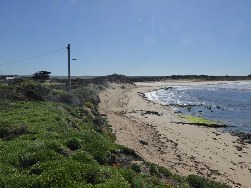
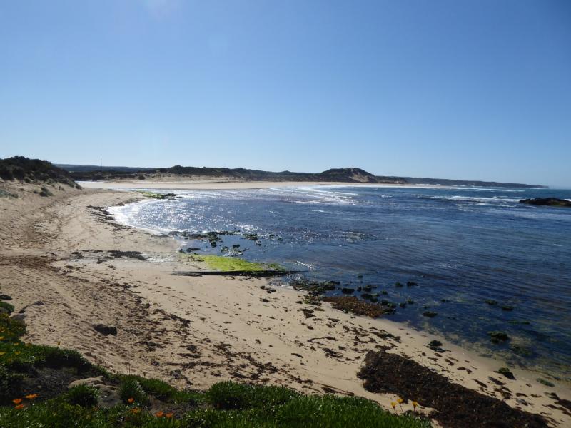
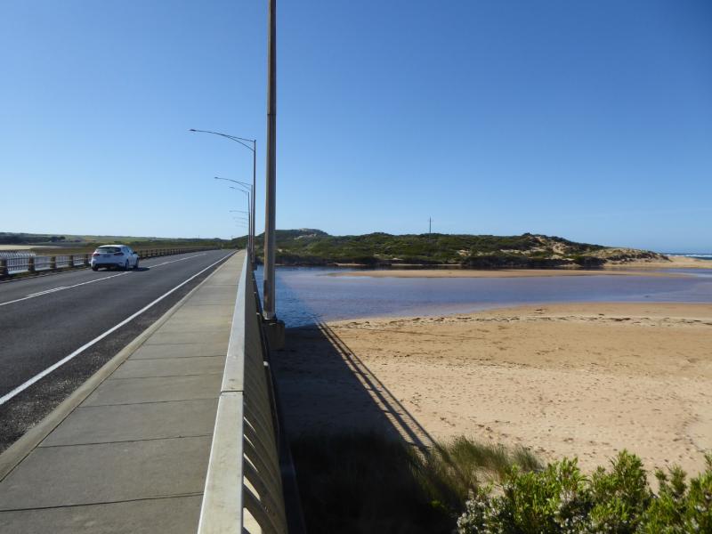
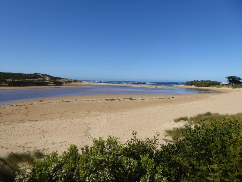
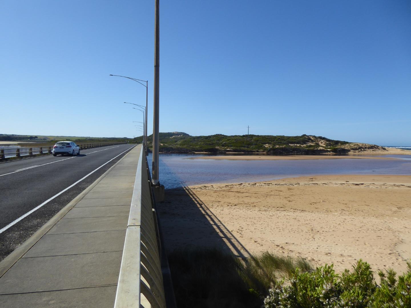
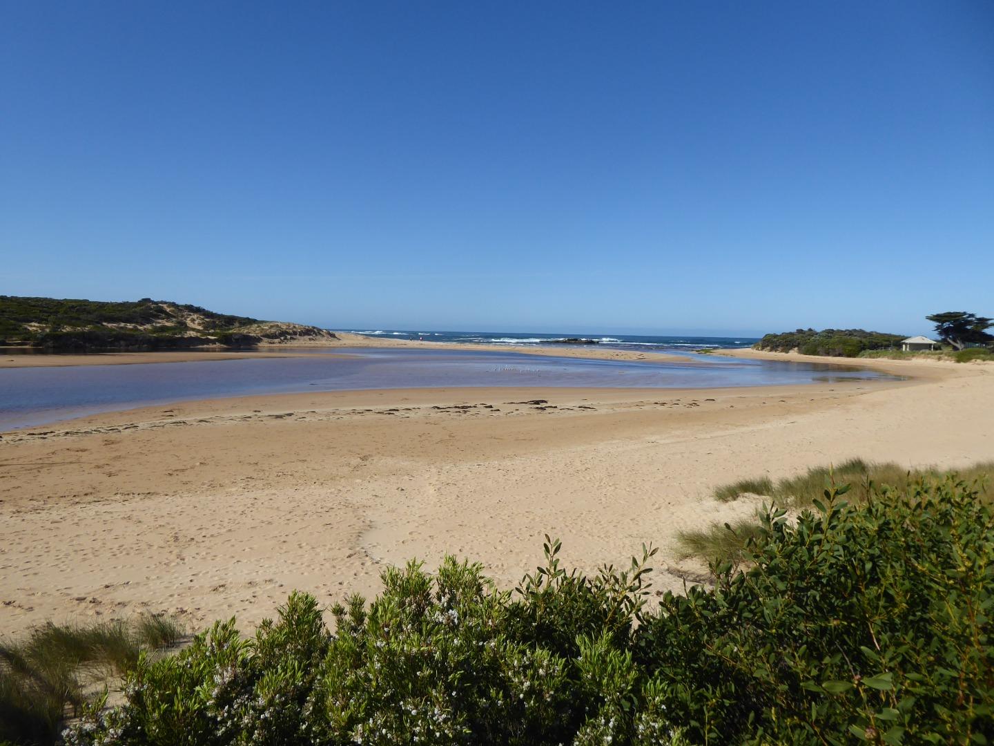
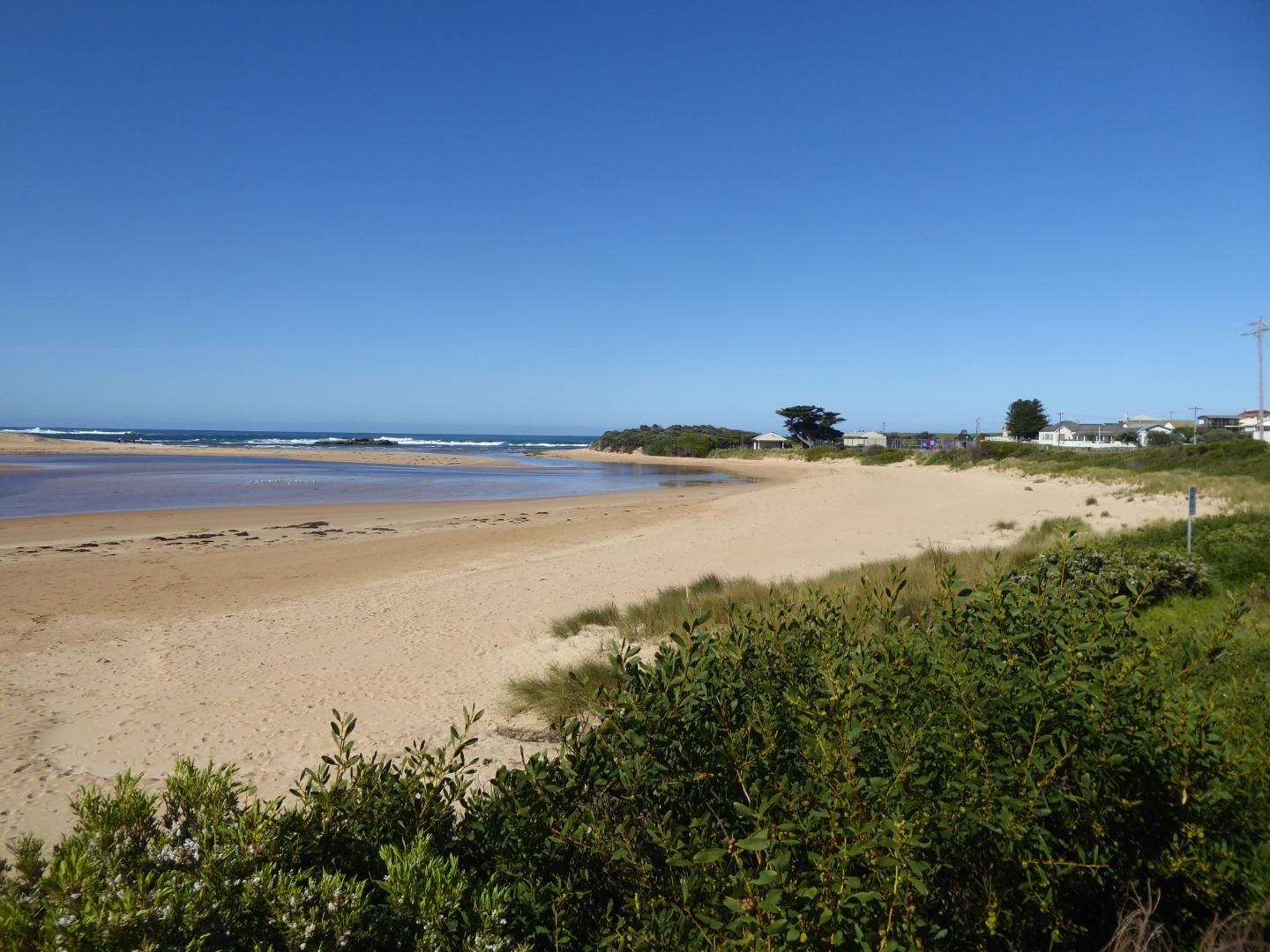
Mouth Observation
| Mouth state | Open |
|---|---|
| Previous | O O C C C C C C C C O O O O O O |
| Flow Present? | Yes |
| Previous | Y Y N N N N N N N N Y Y Y Y Y Y |
| Flow Direction | Out |
| Previous | O I N N N N N N N N O O O O O O |
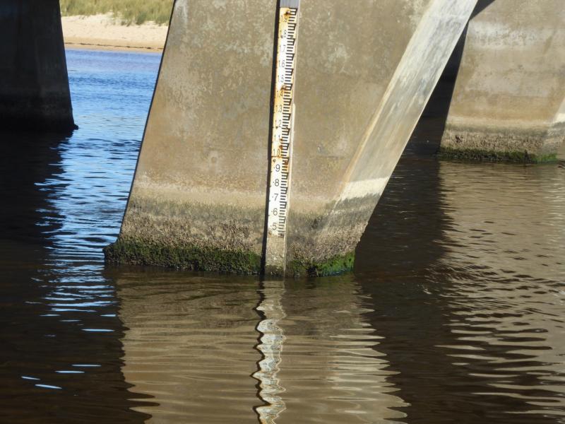
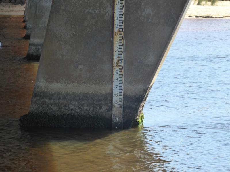
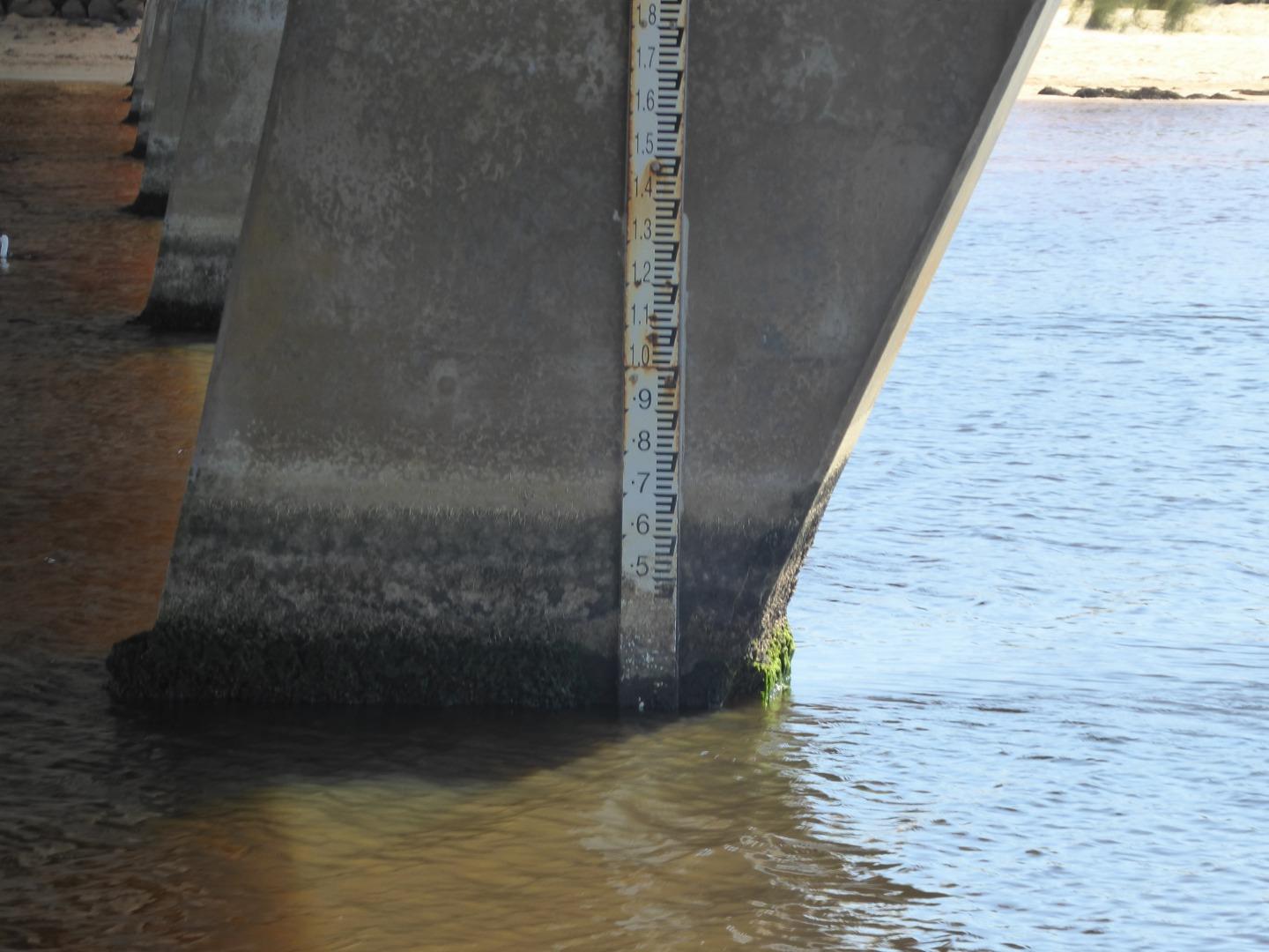
| Above Sea | Above Estuary | |
|---|---|---|
| Berm Height (m) | ||
| Berm Length (m) |
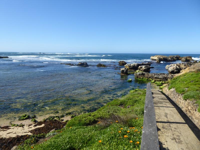
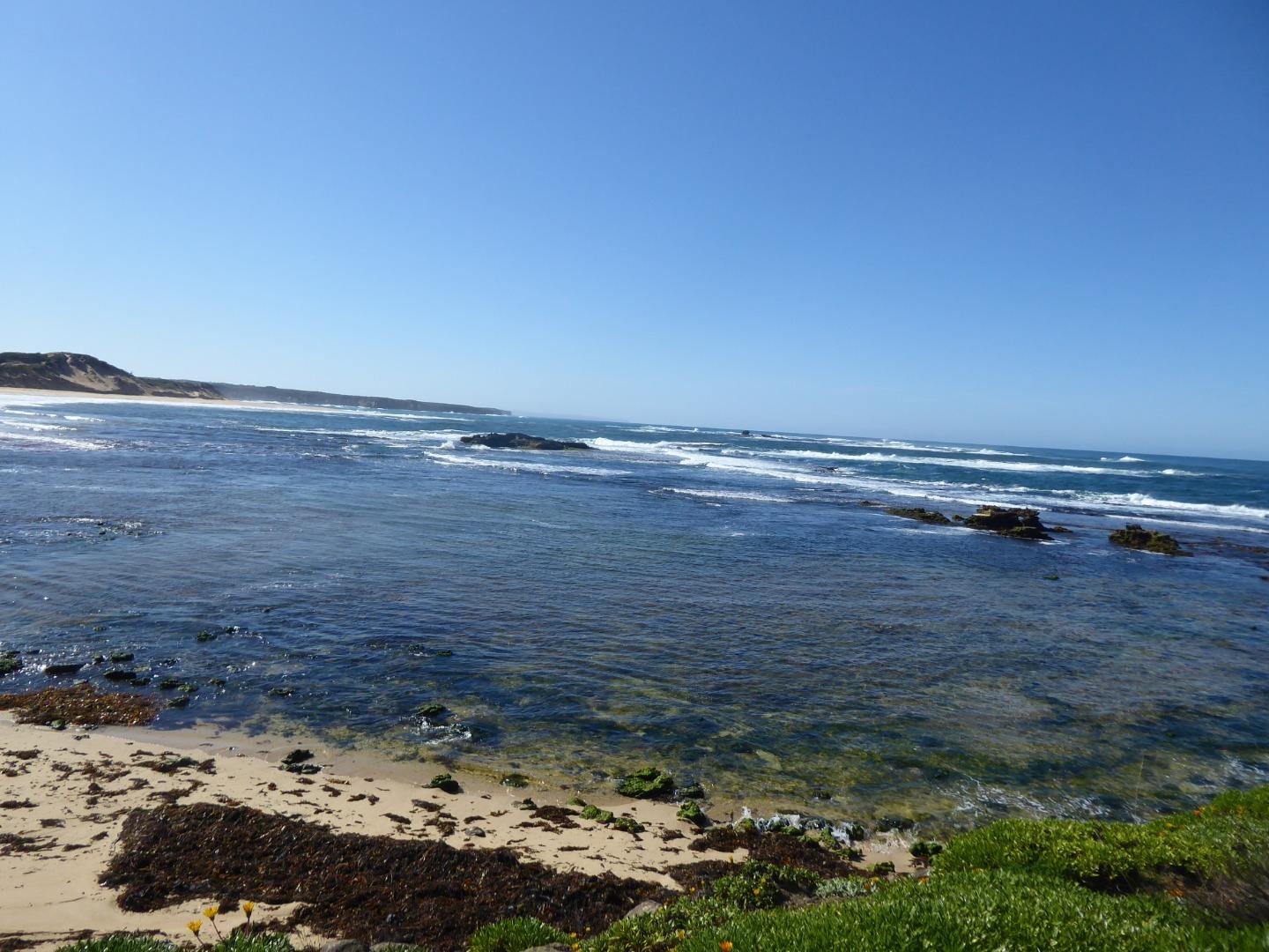
Physical Condition
| Current | Mode | |
|---|---|---|
| Wind Direction | North-East | South-West |
| Beaufort Scale | Light Breeze | Gentle breeze |
| Sea State | Moderate | Moderate |


All content, files, data and images provided by the EstuaryWatch Data Portal and Gallery are subject to a Creative Commons Attribution License
Content is made available to be used in any way, and should always attribute EstuaryWatch and www.estuarywatch.org.au