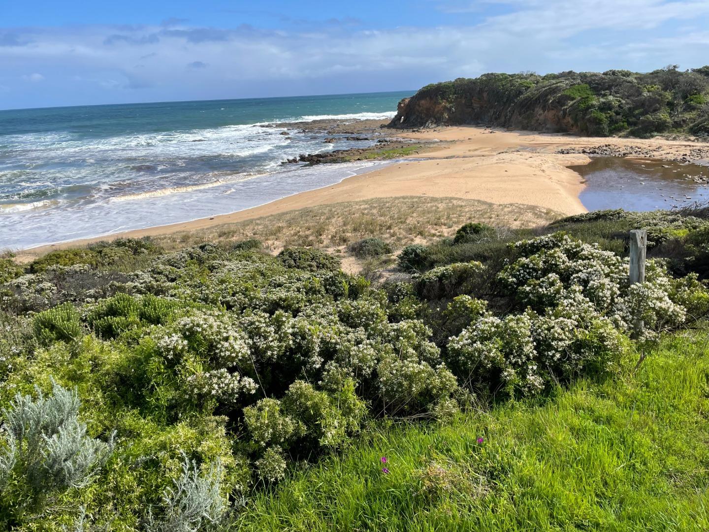
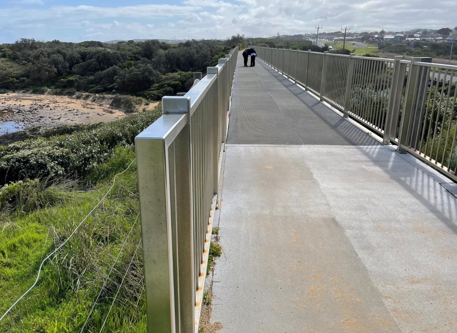
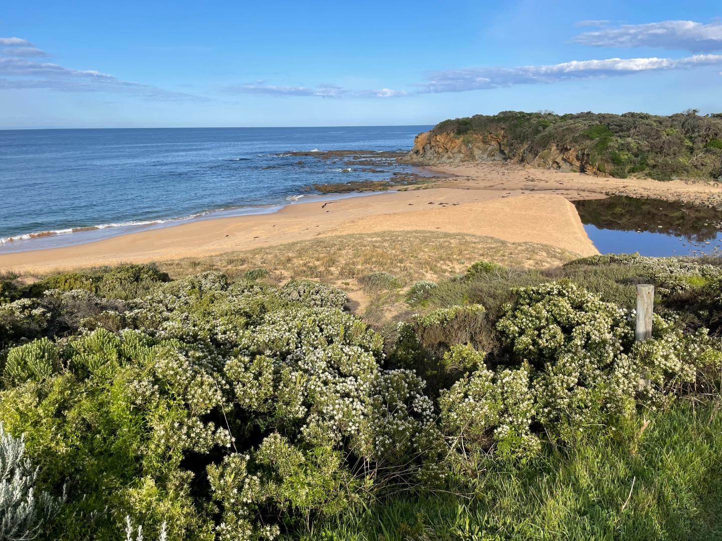
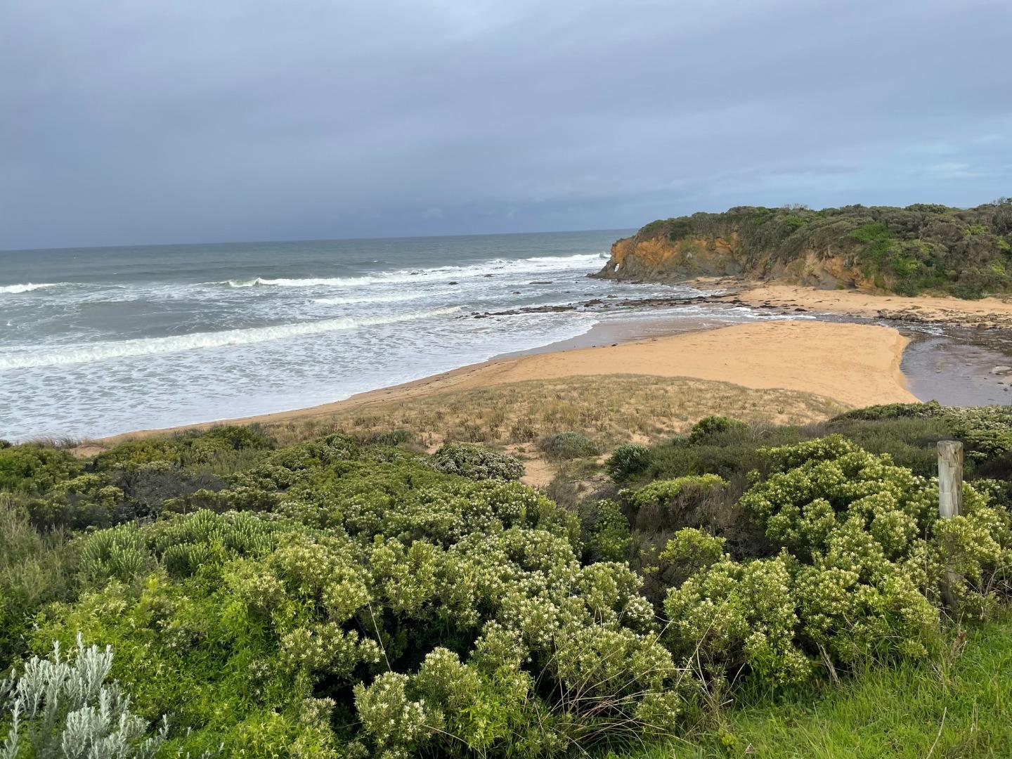
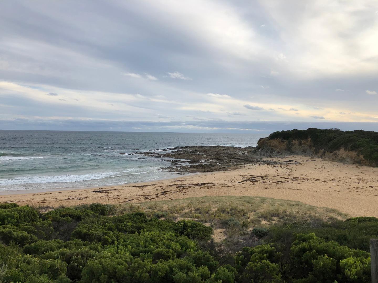
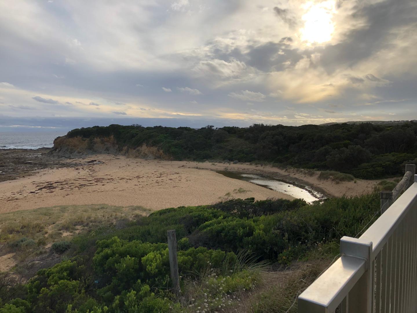
EstuaryWatch Data Portal
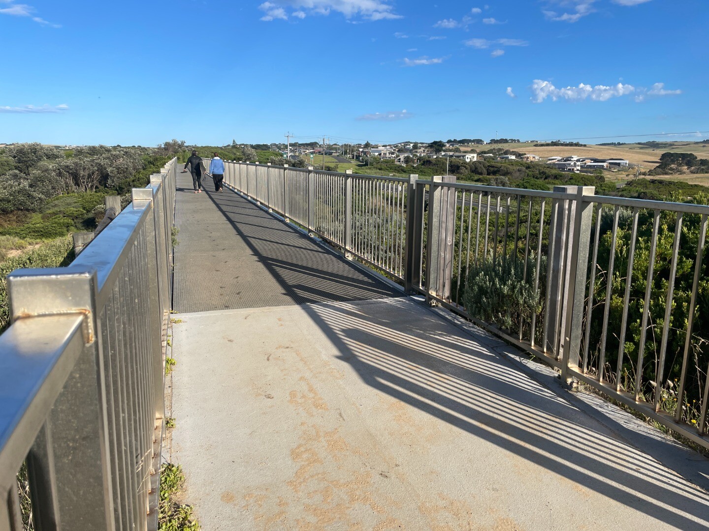
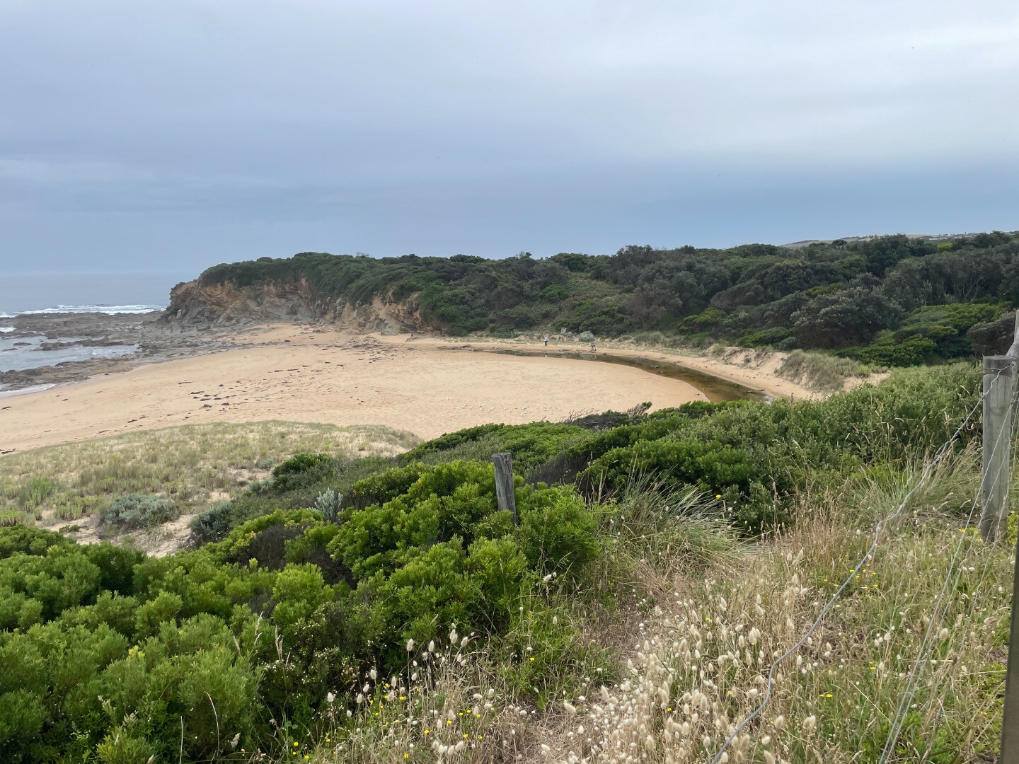
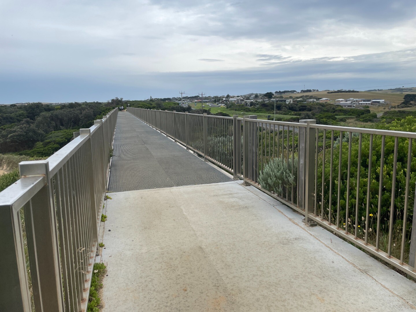
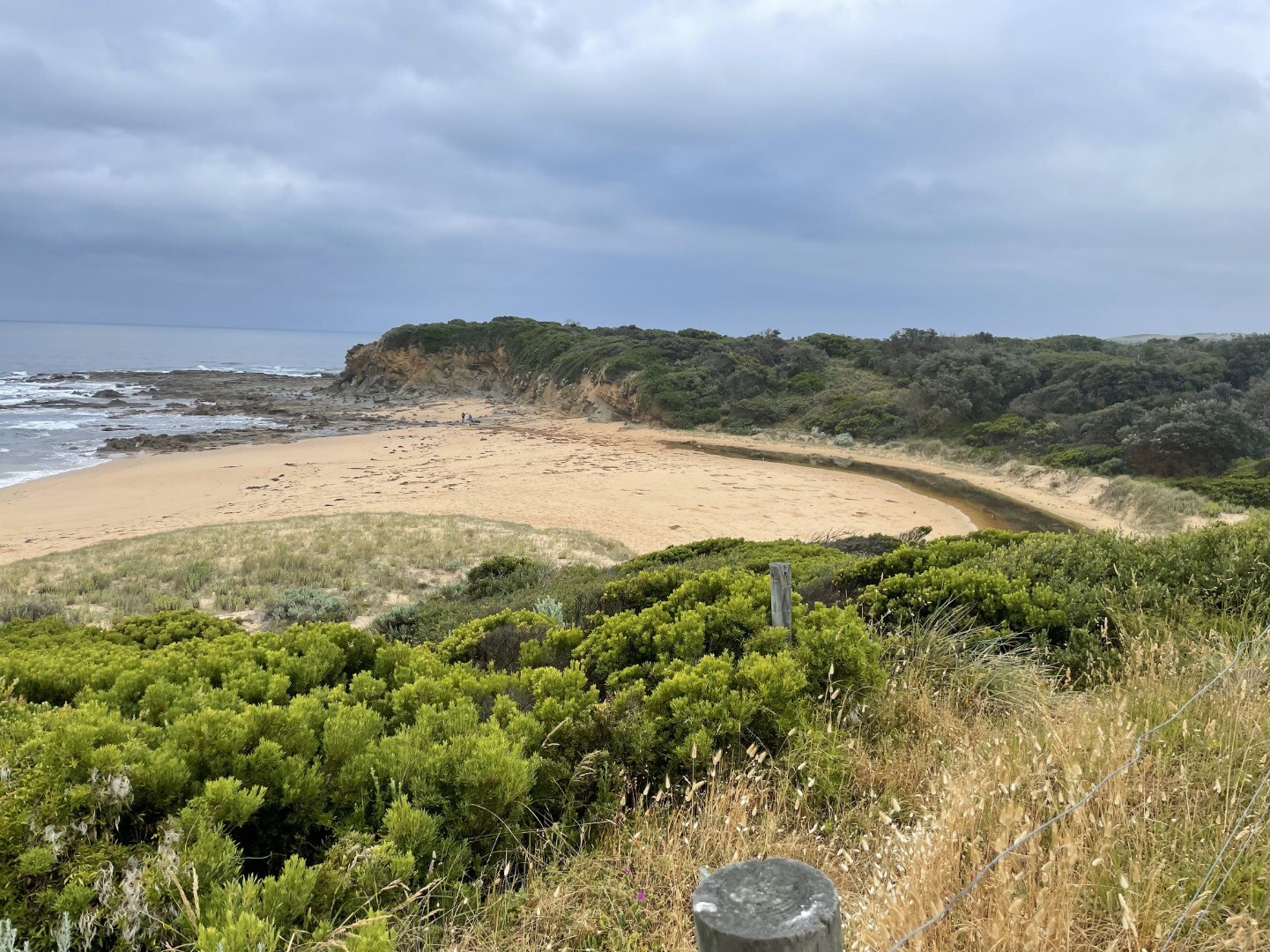
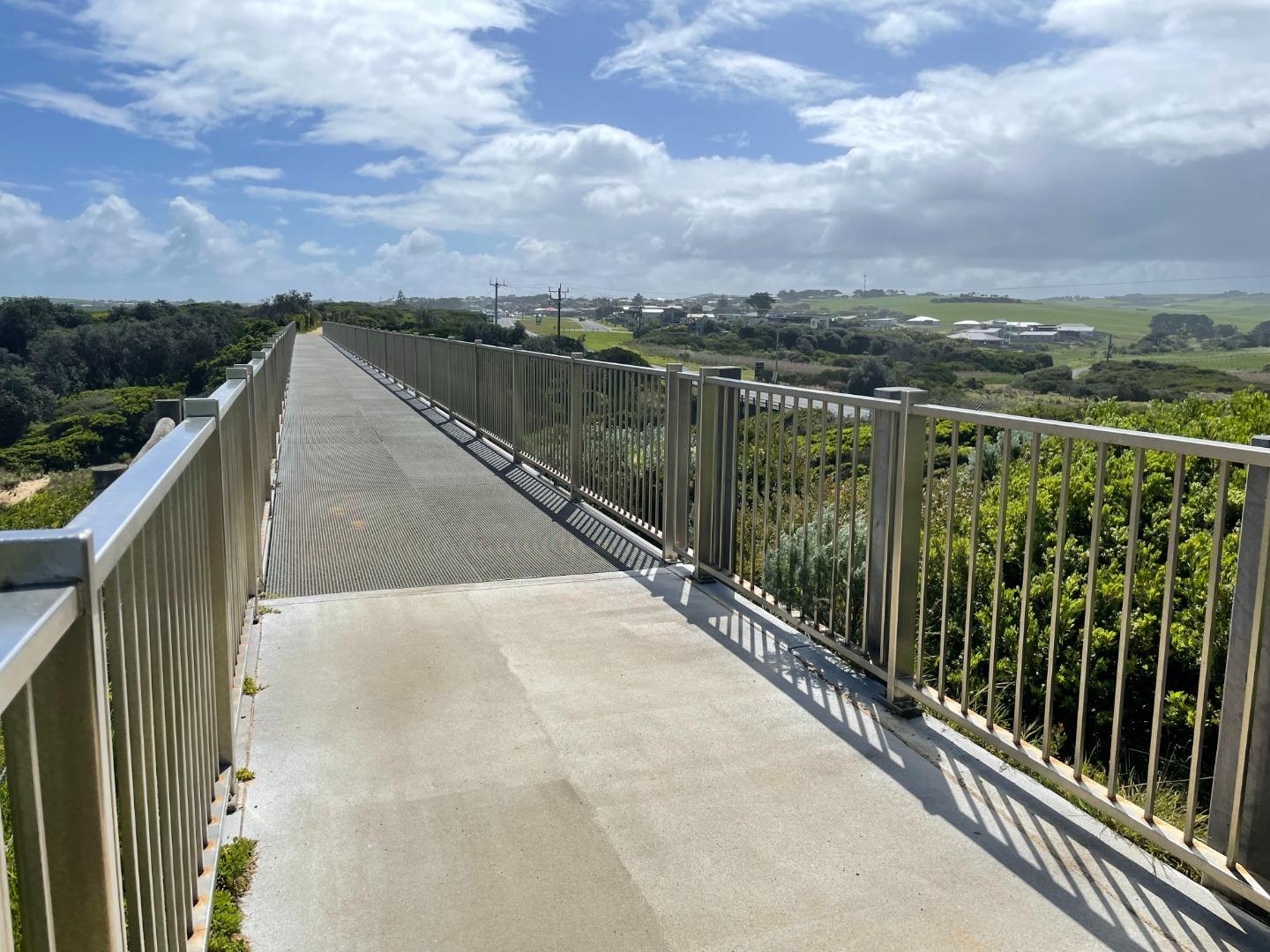
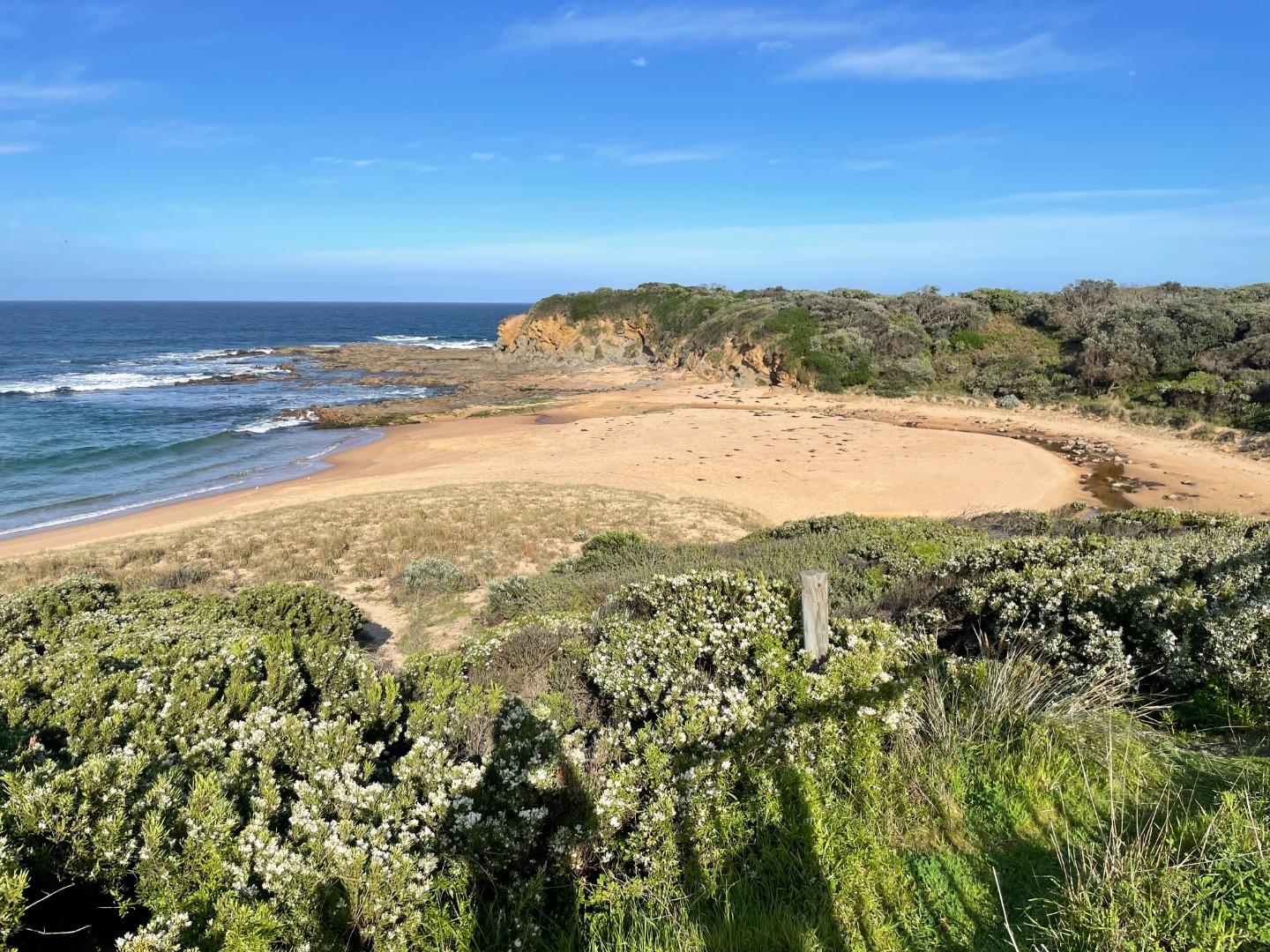
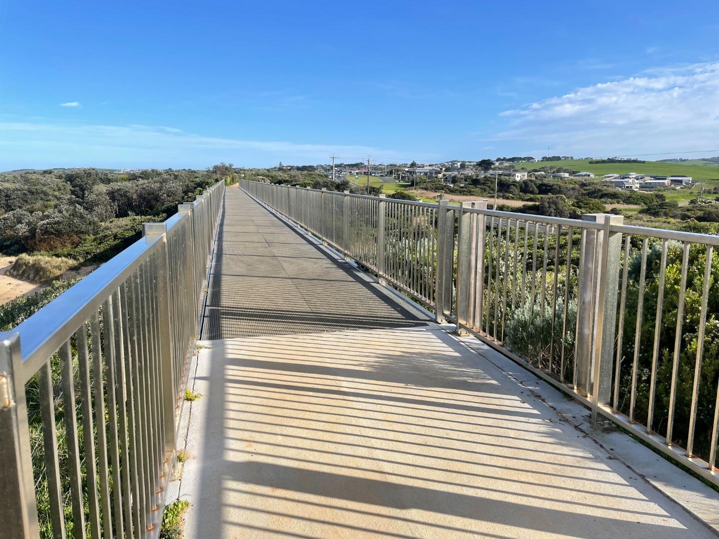
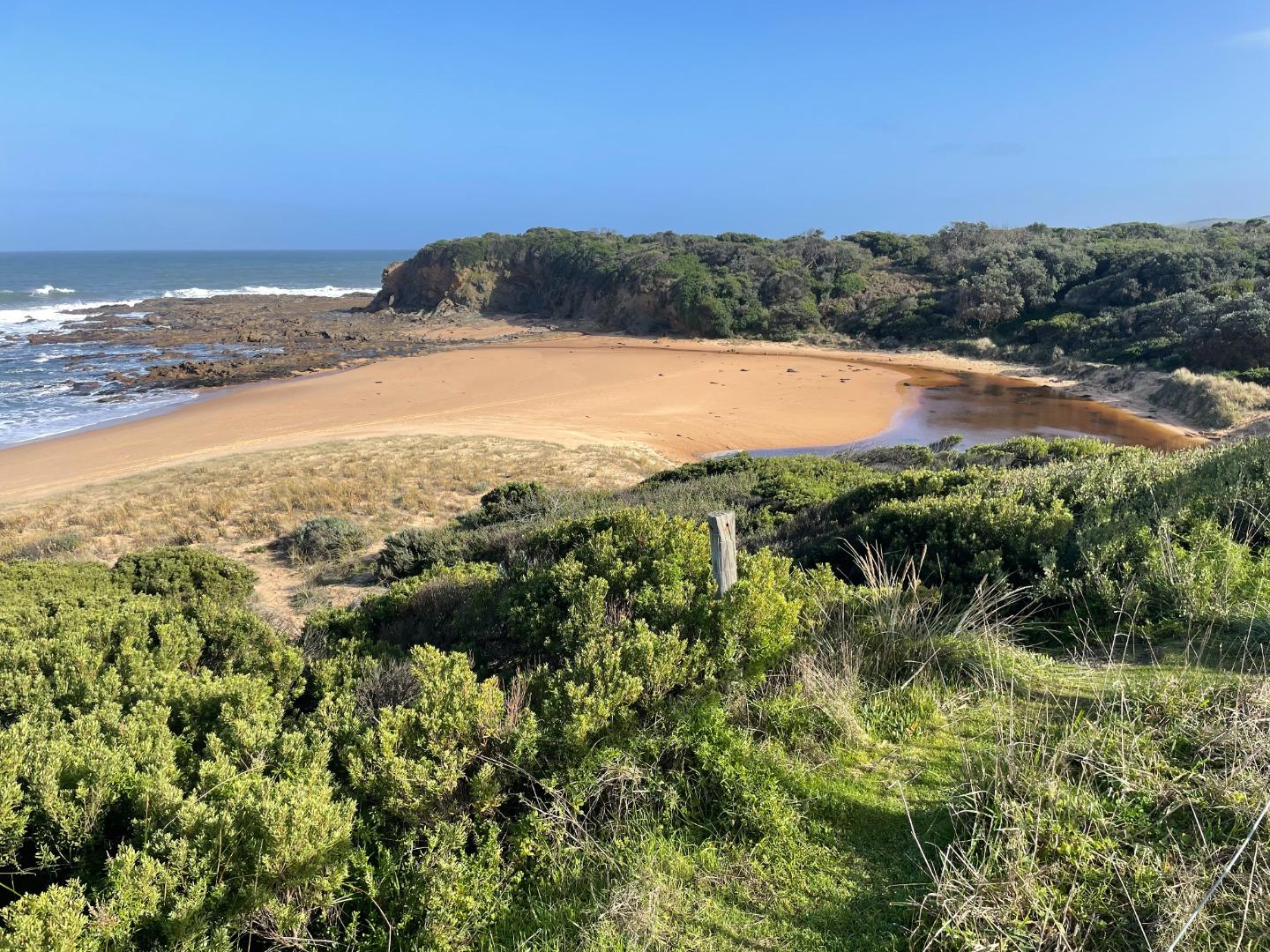
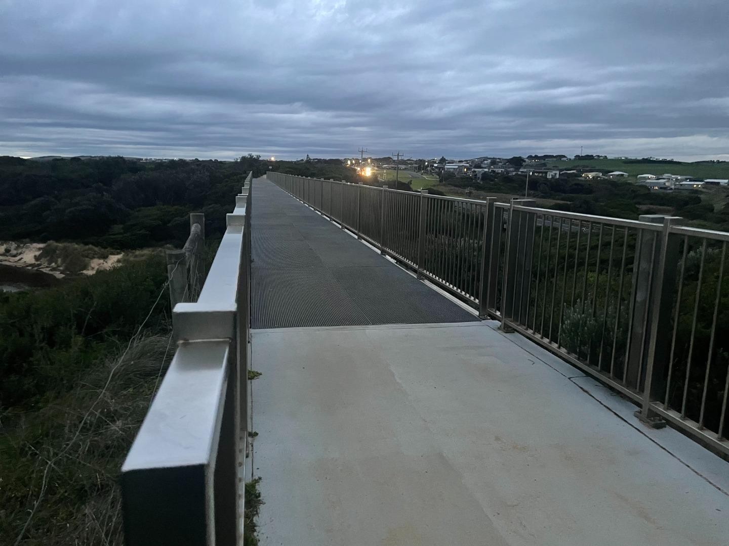
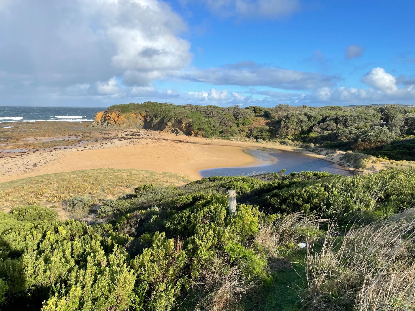
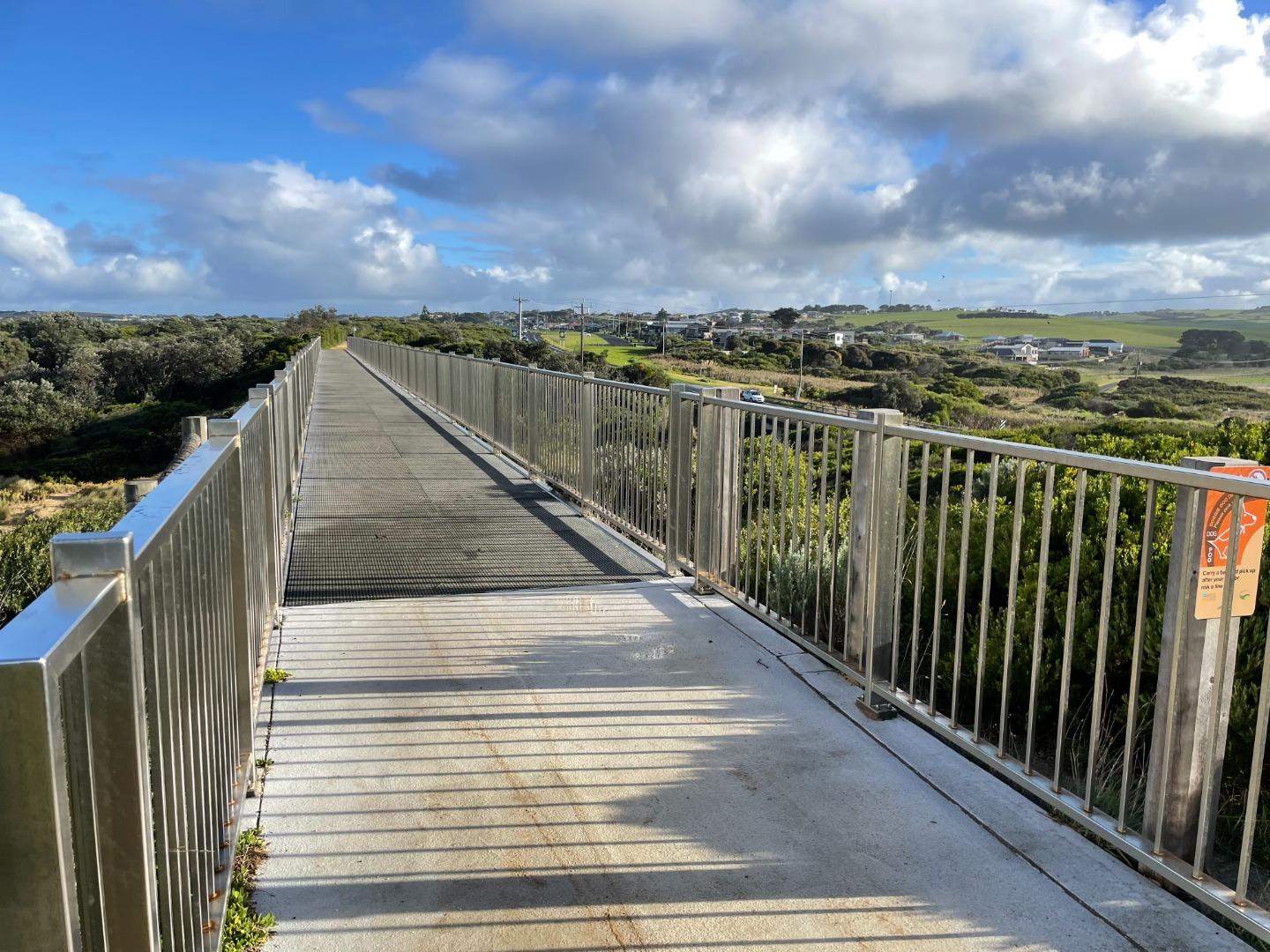
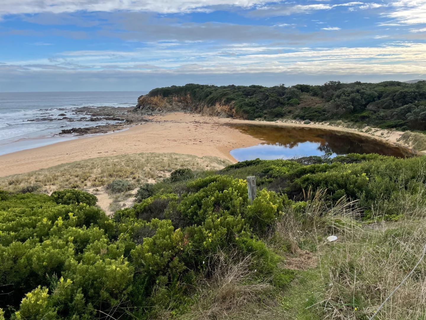
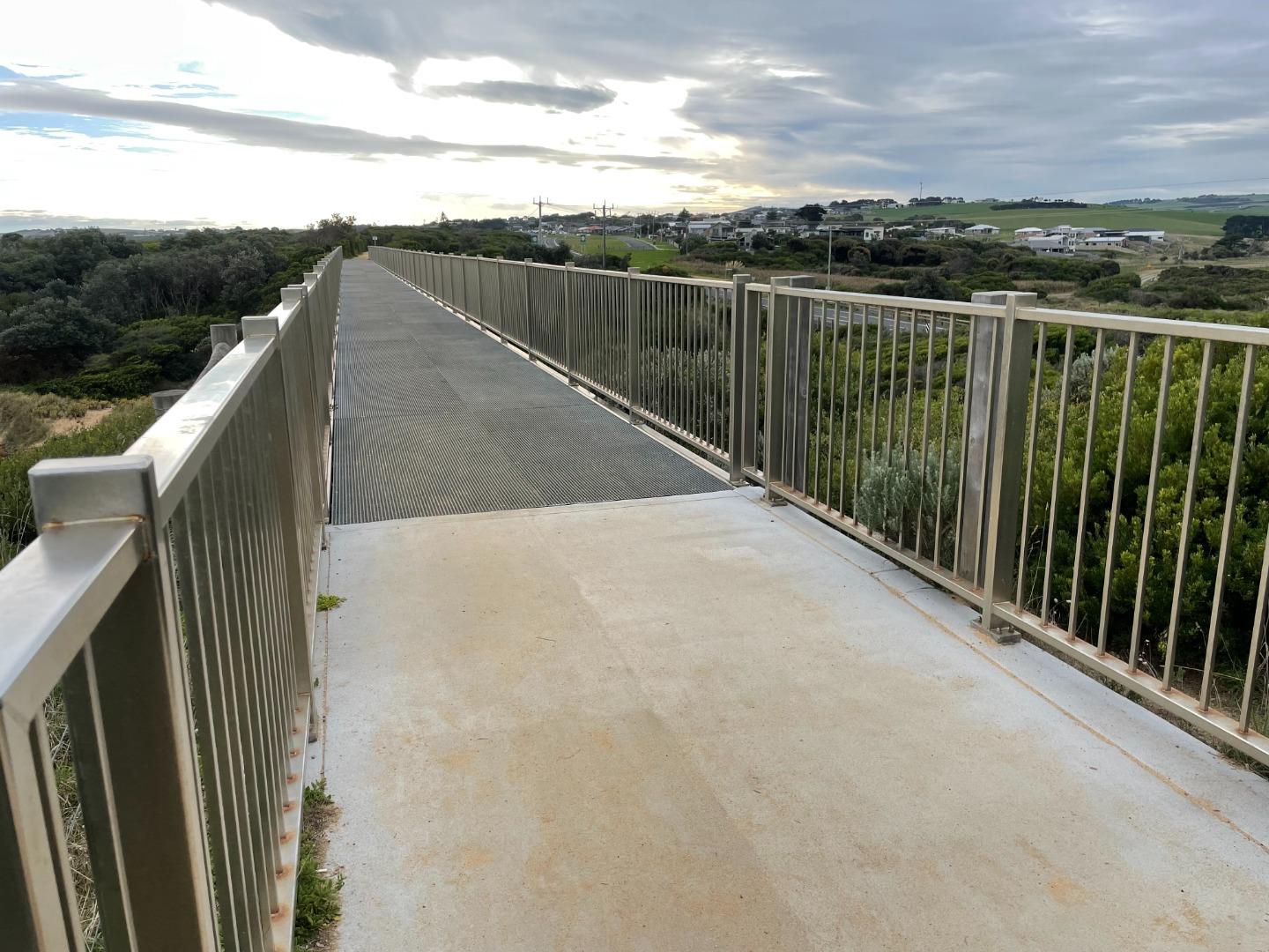
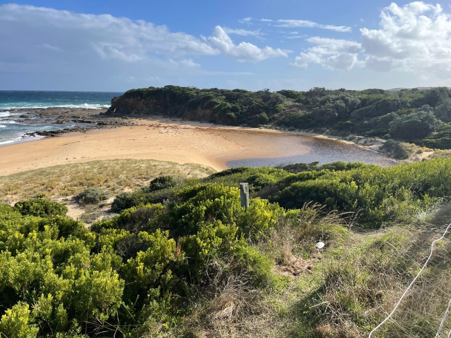
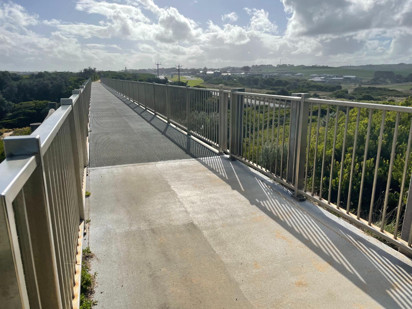
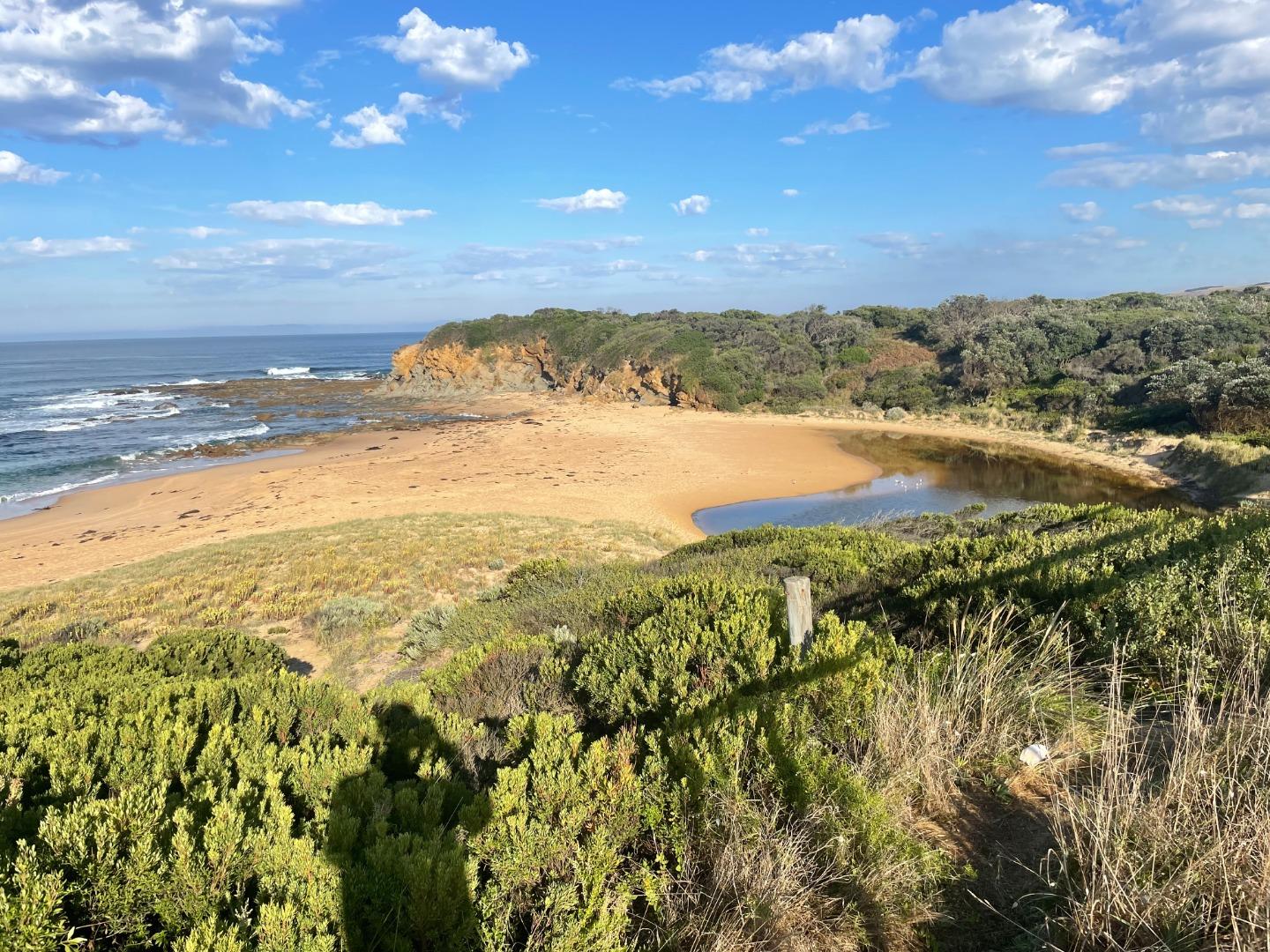
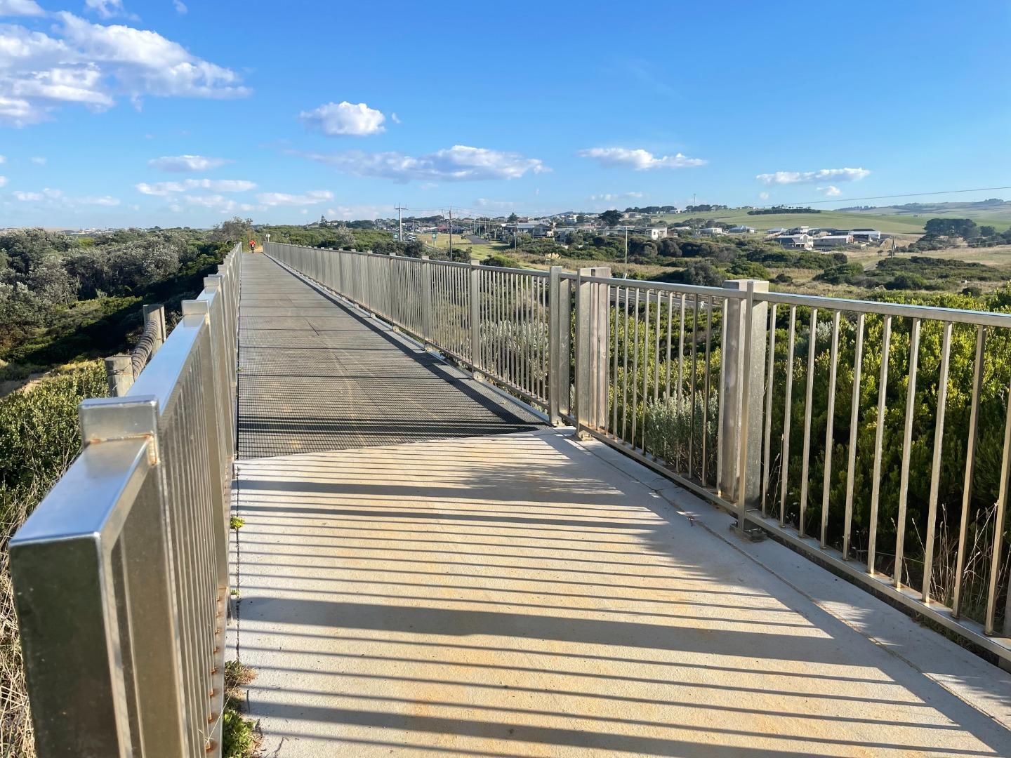
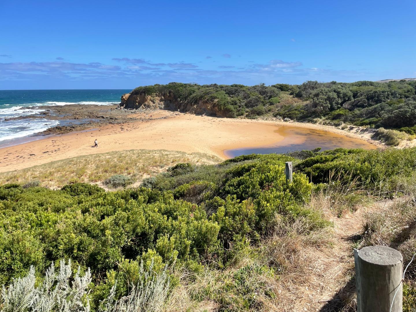
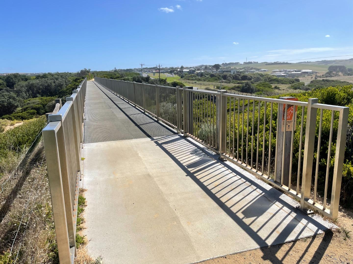
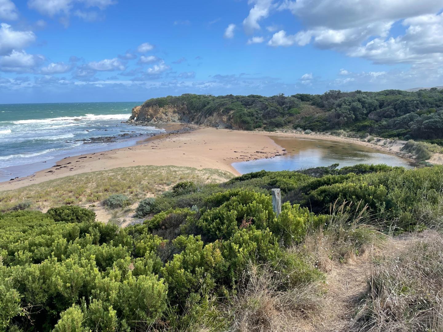
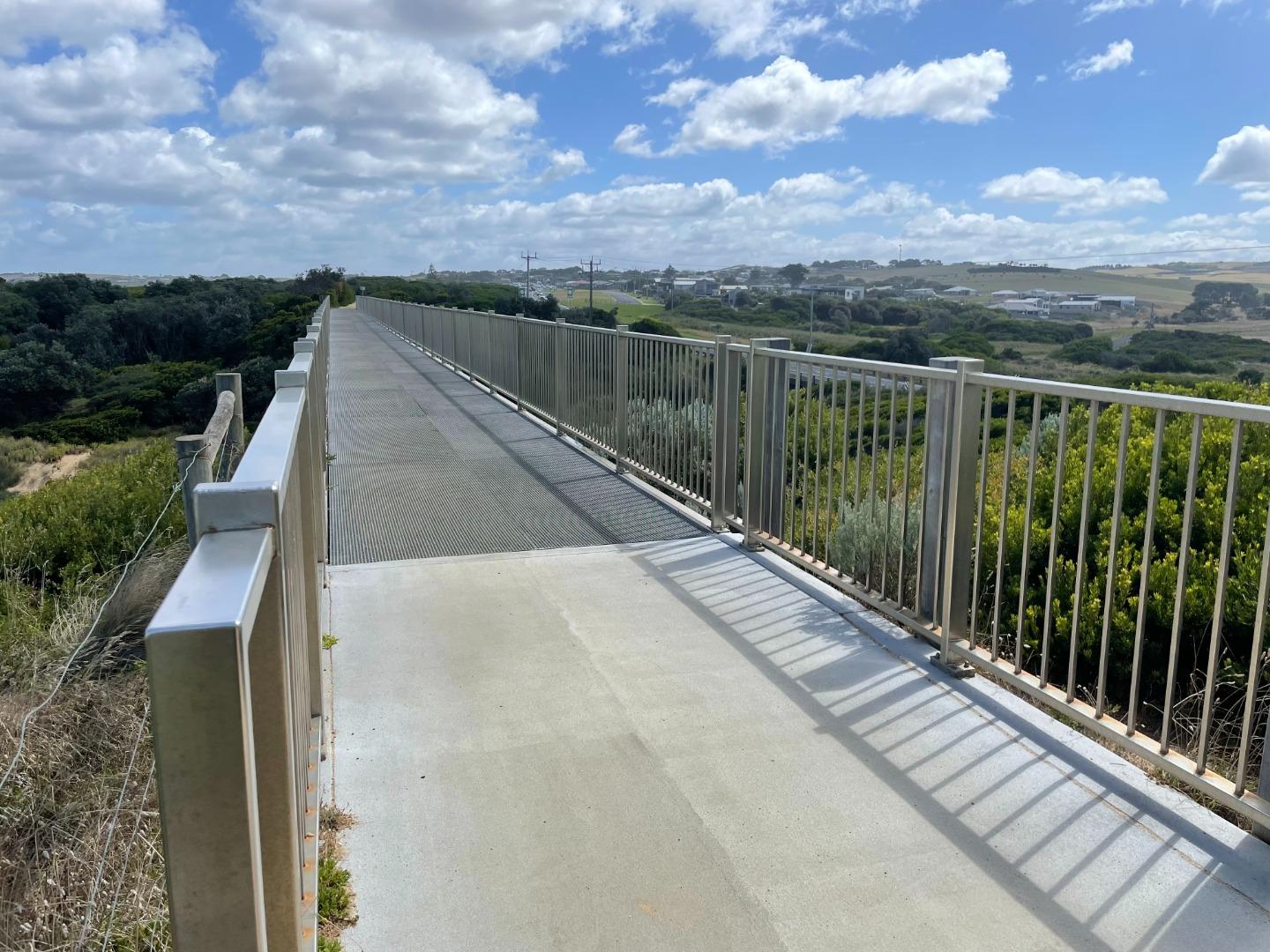
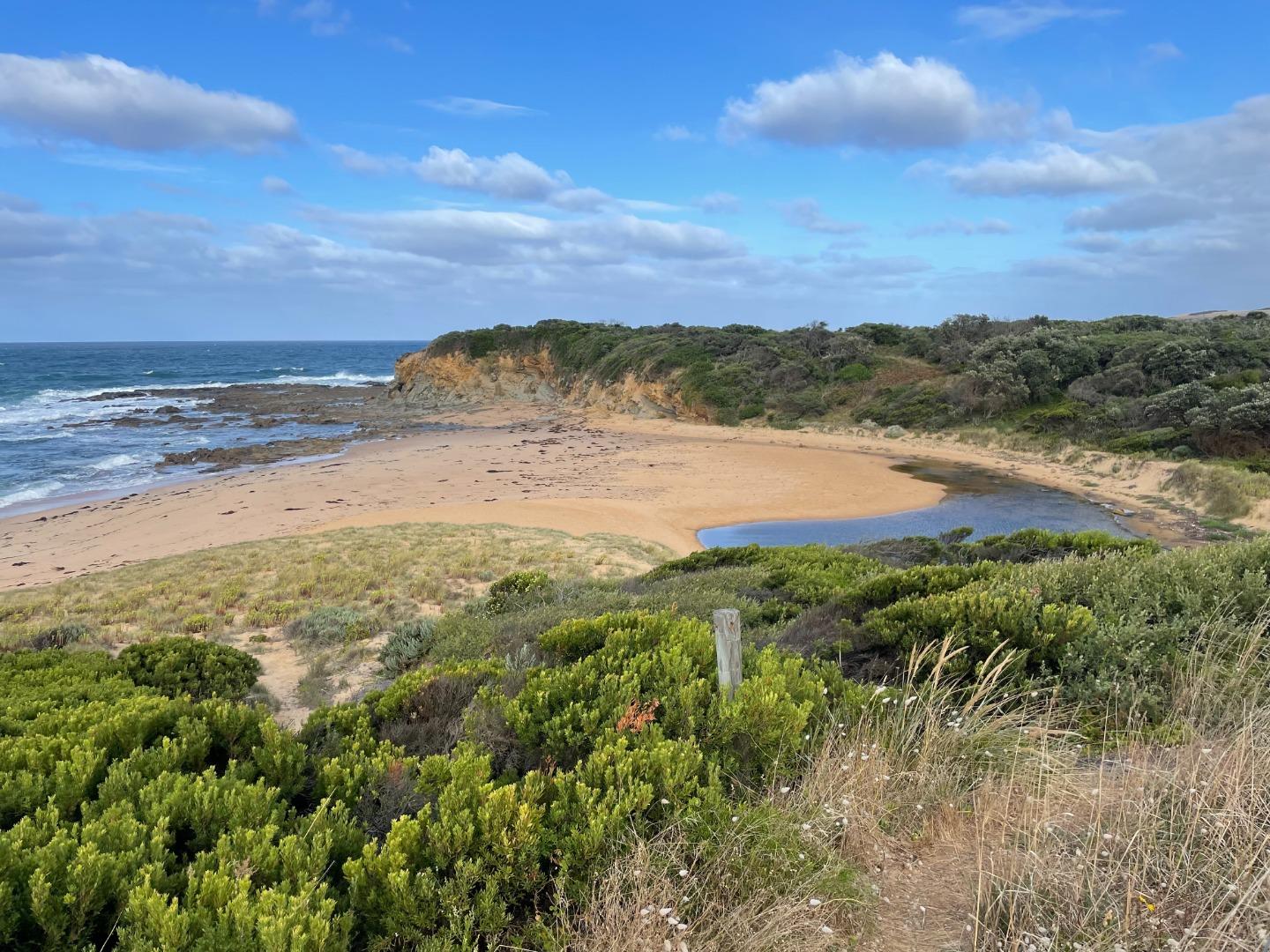
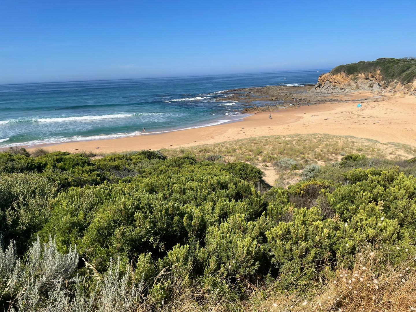
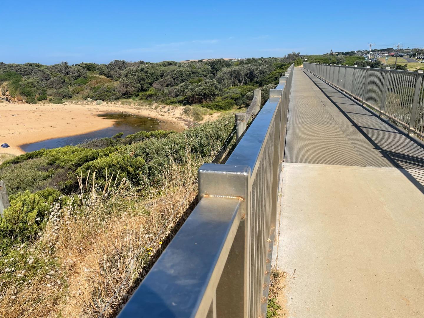
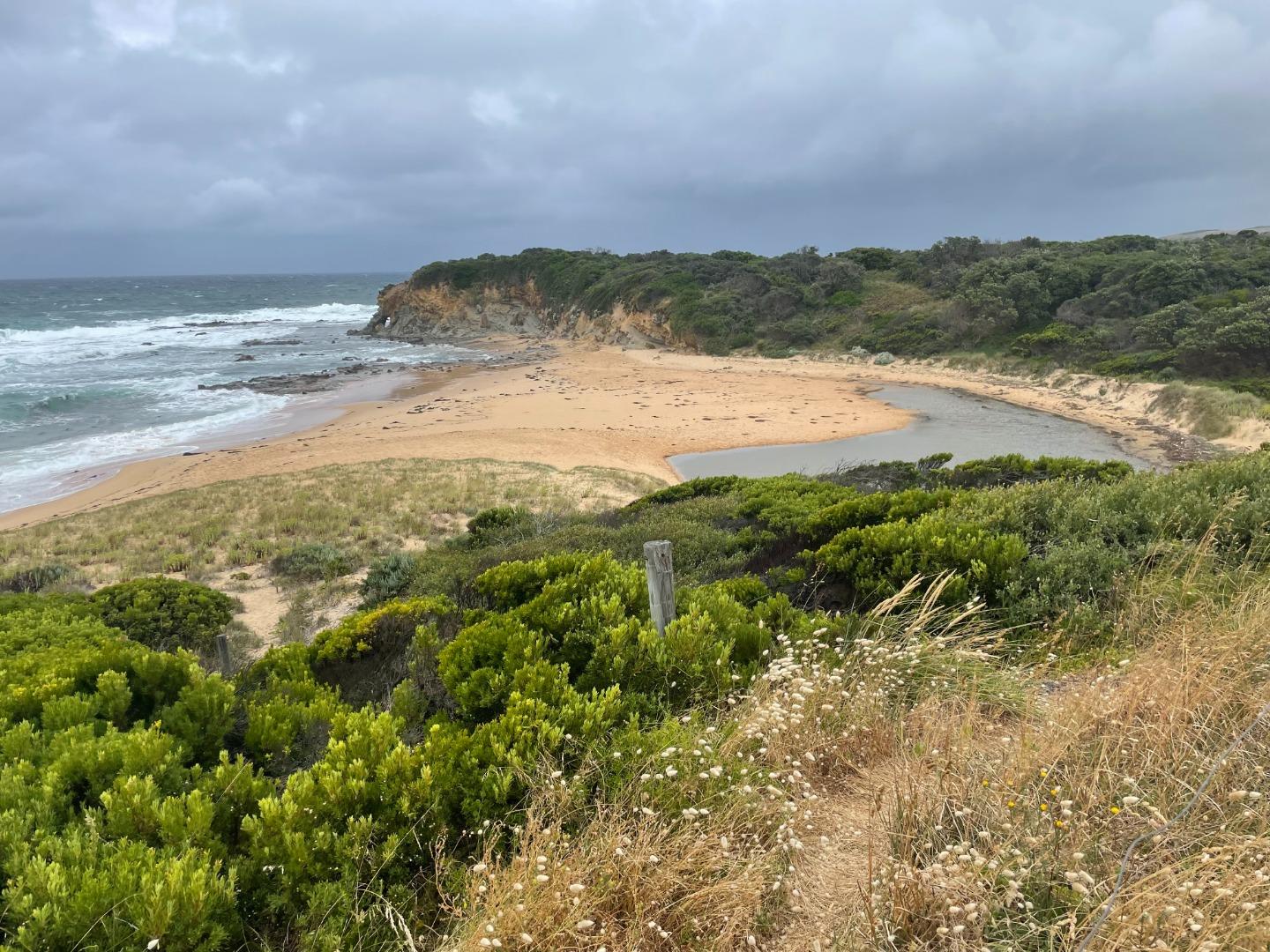
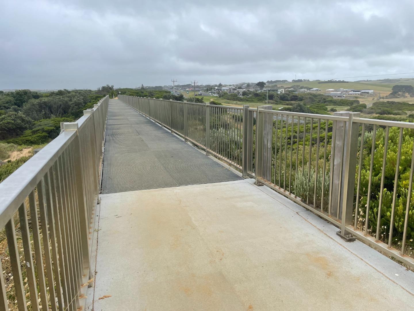
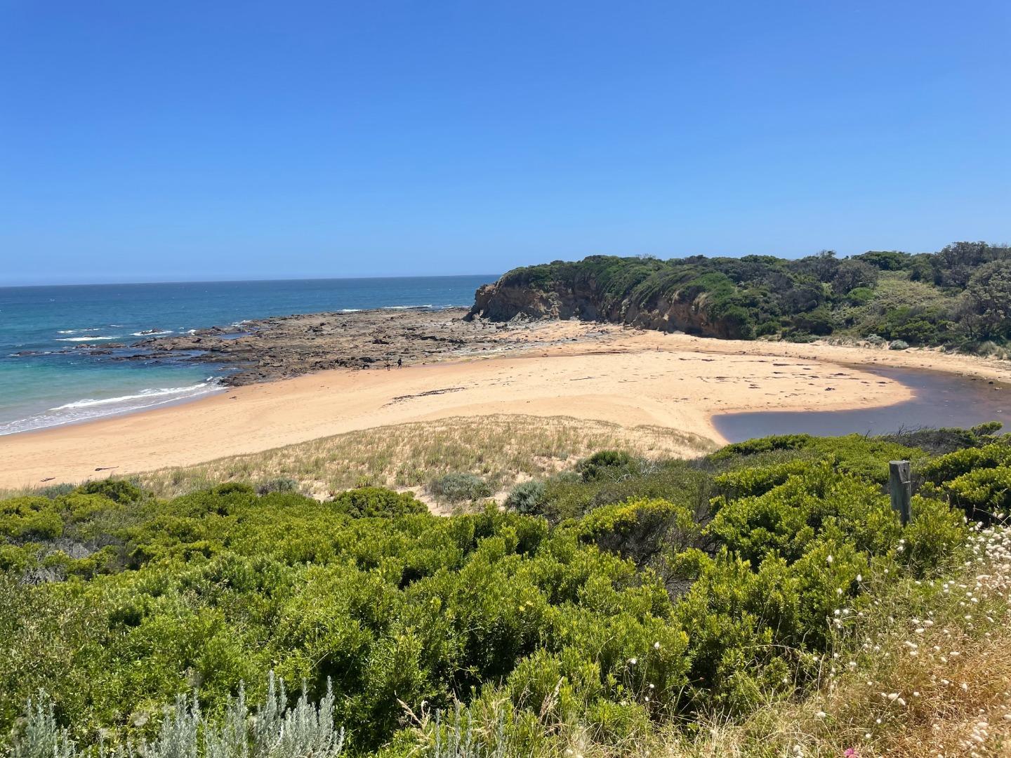
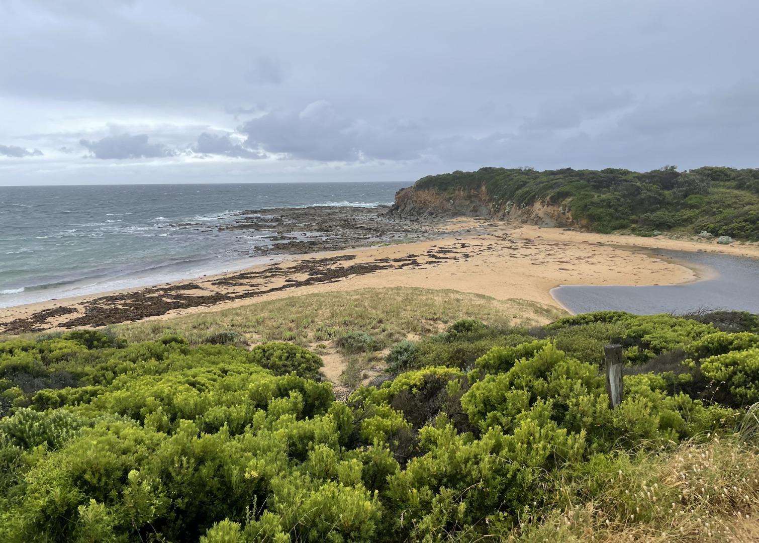
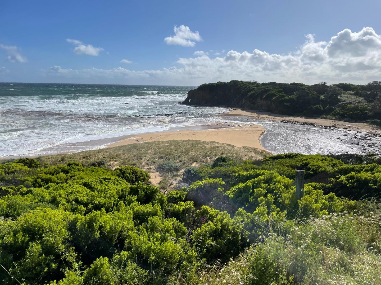
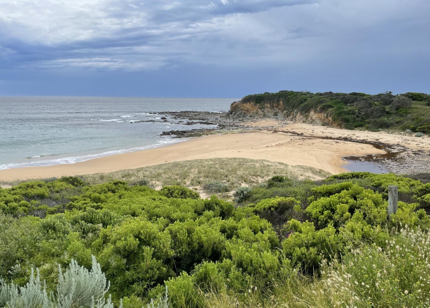
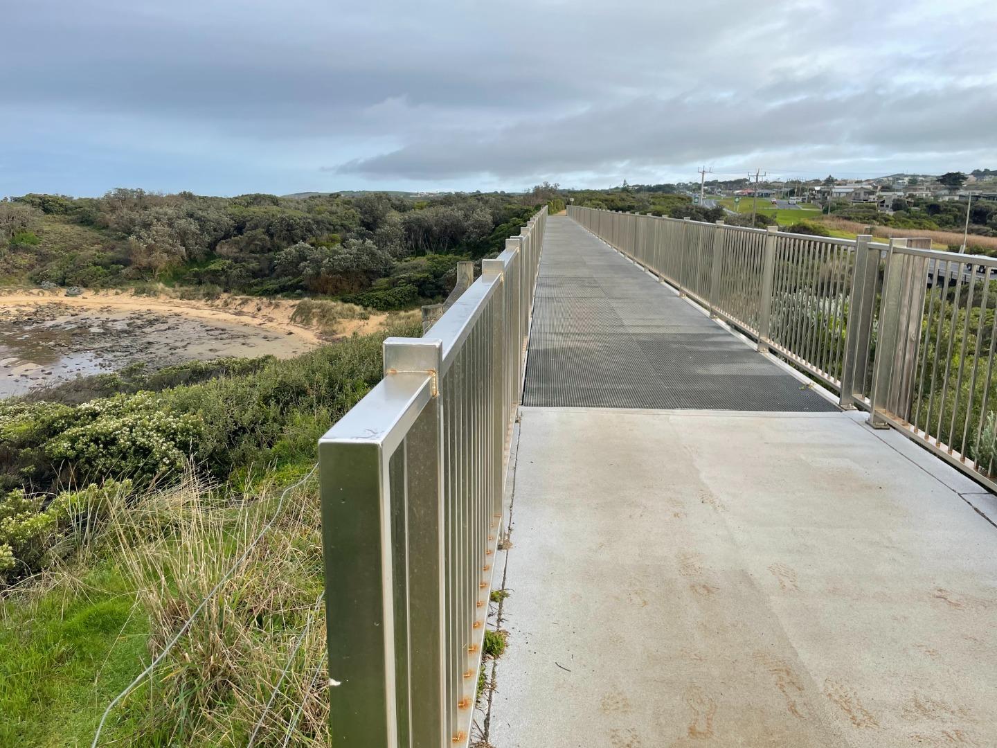
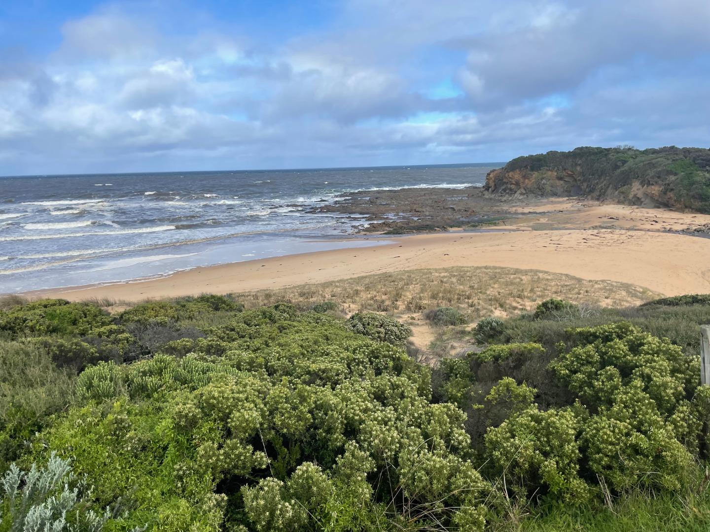
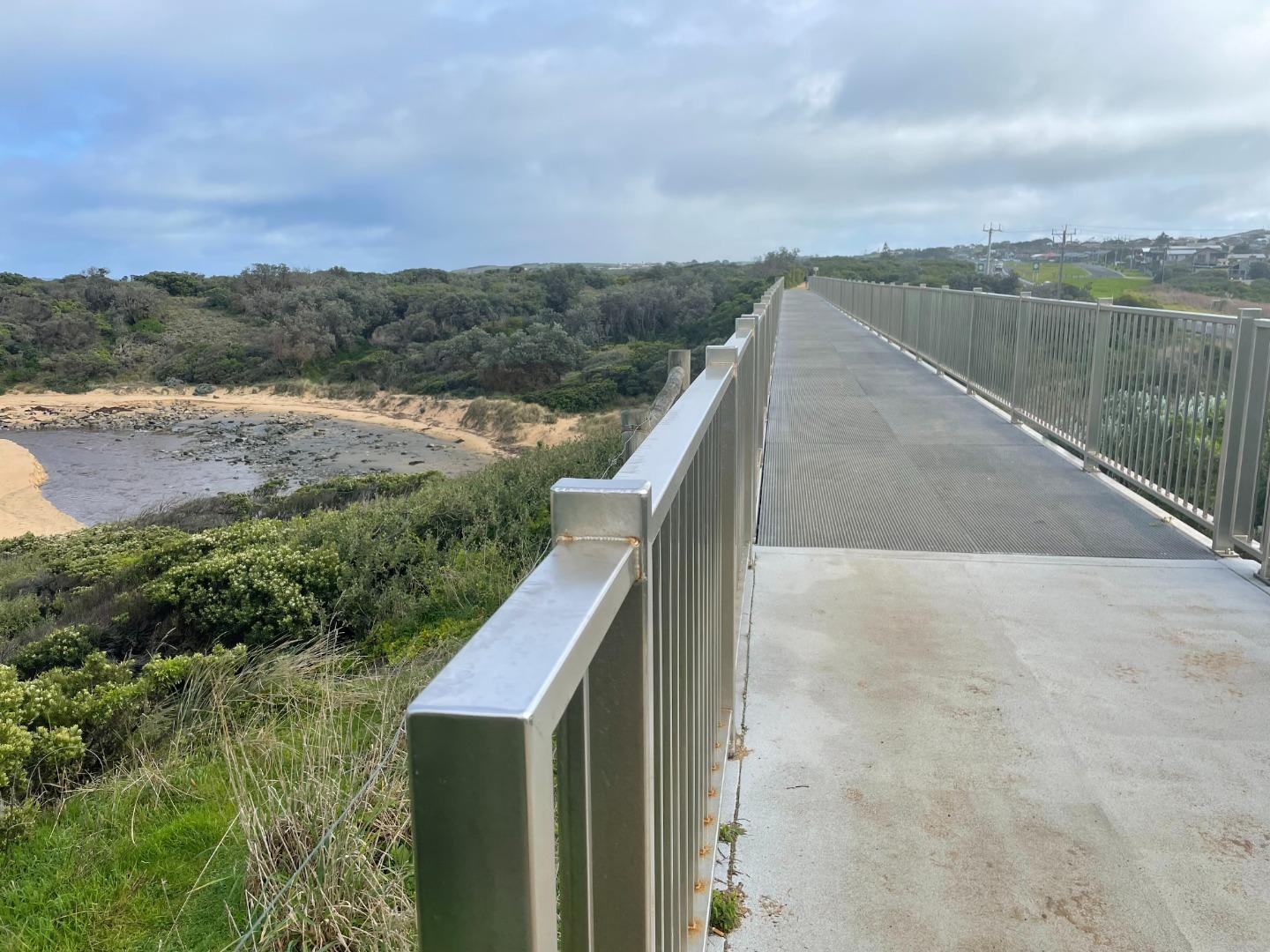
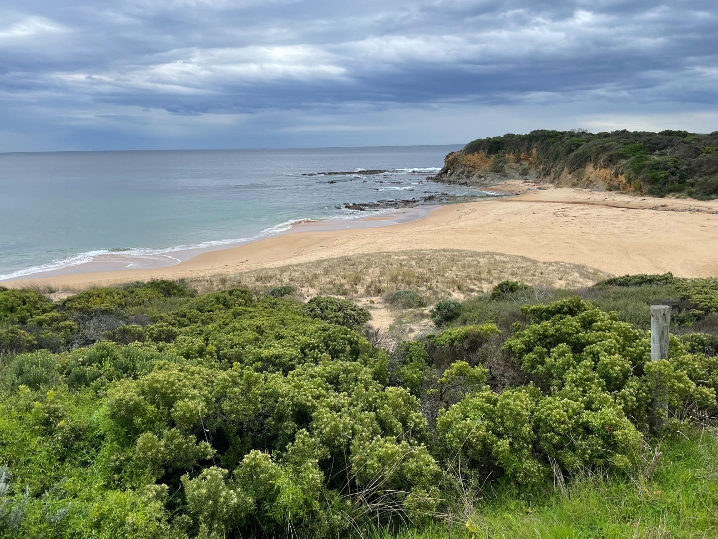
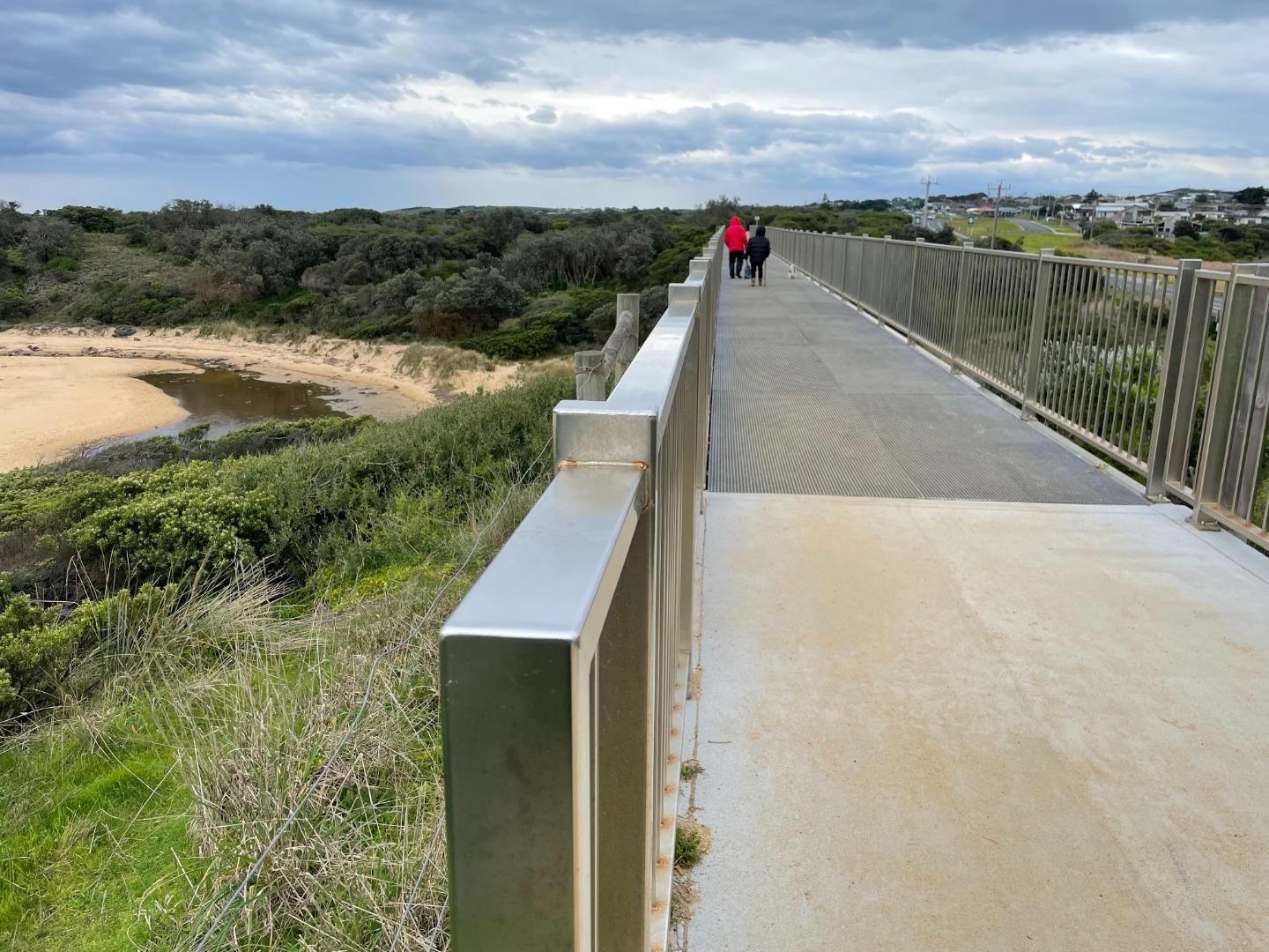
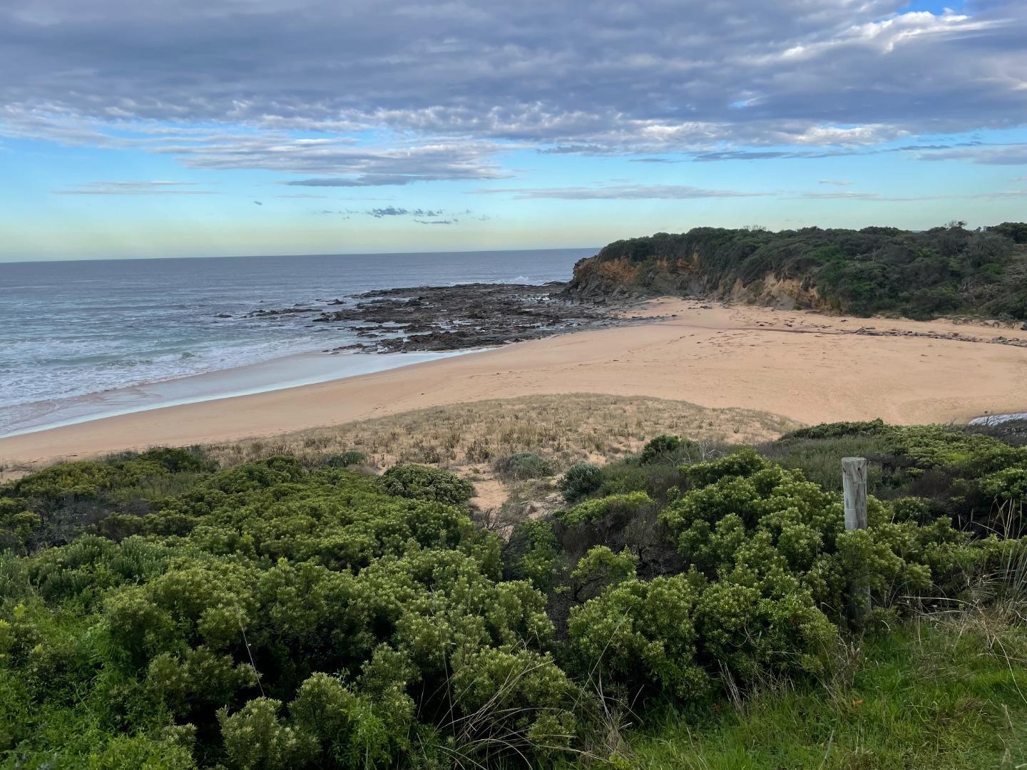
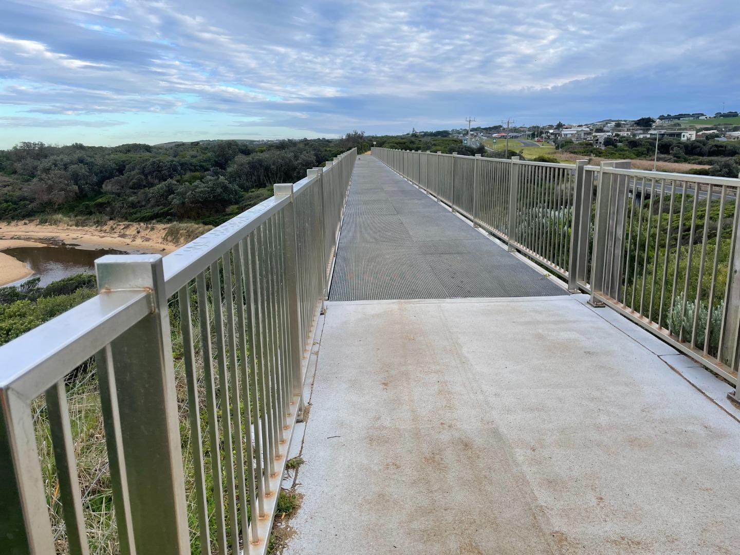
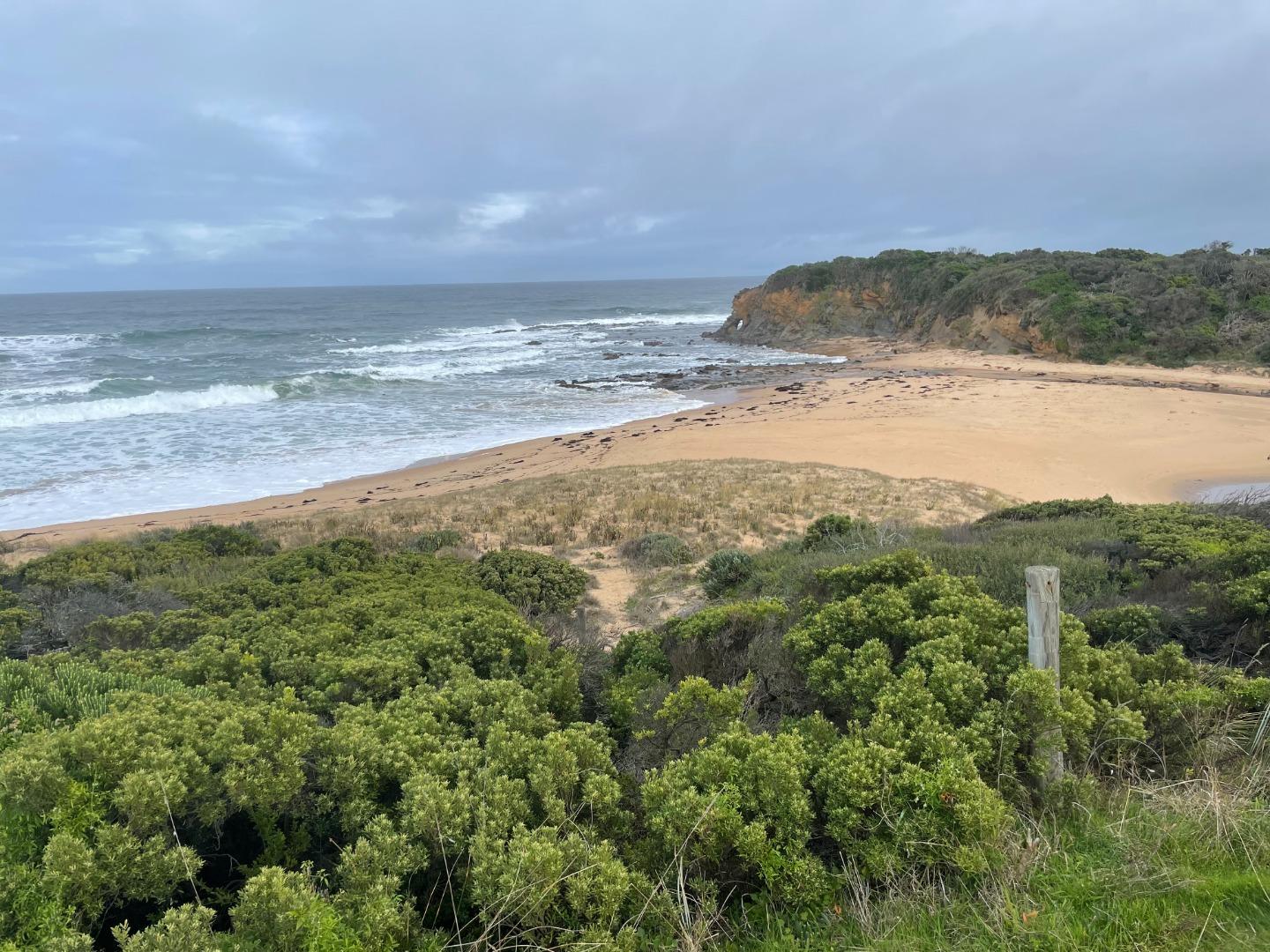
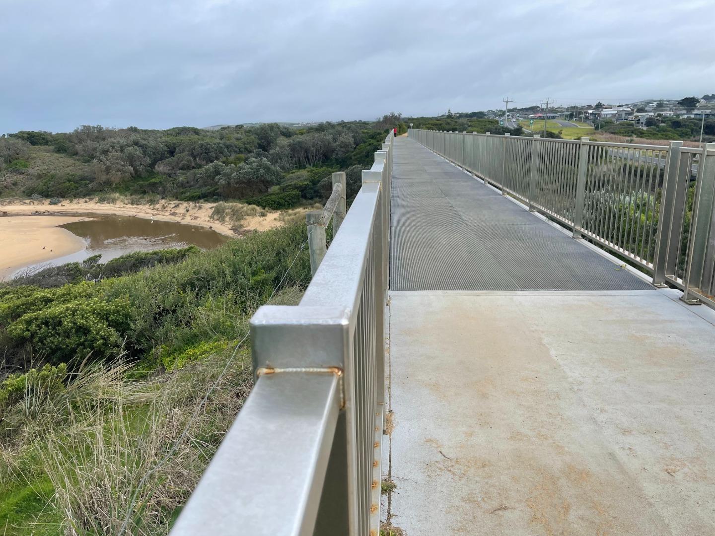
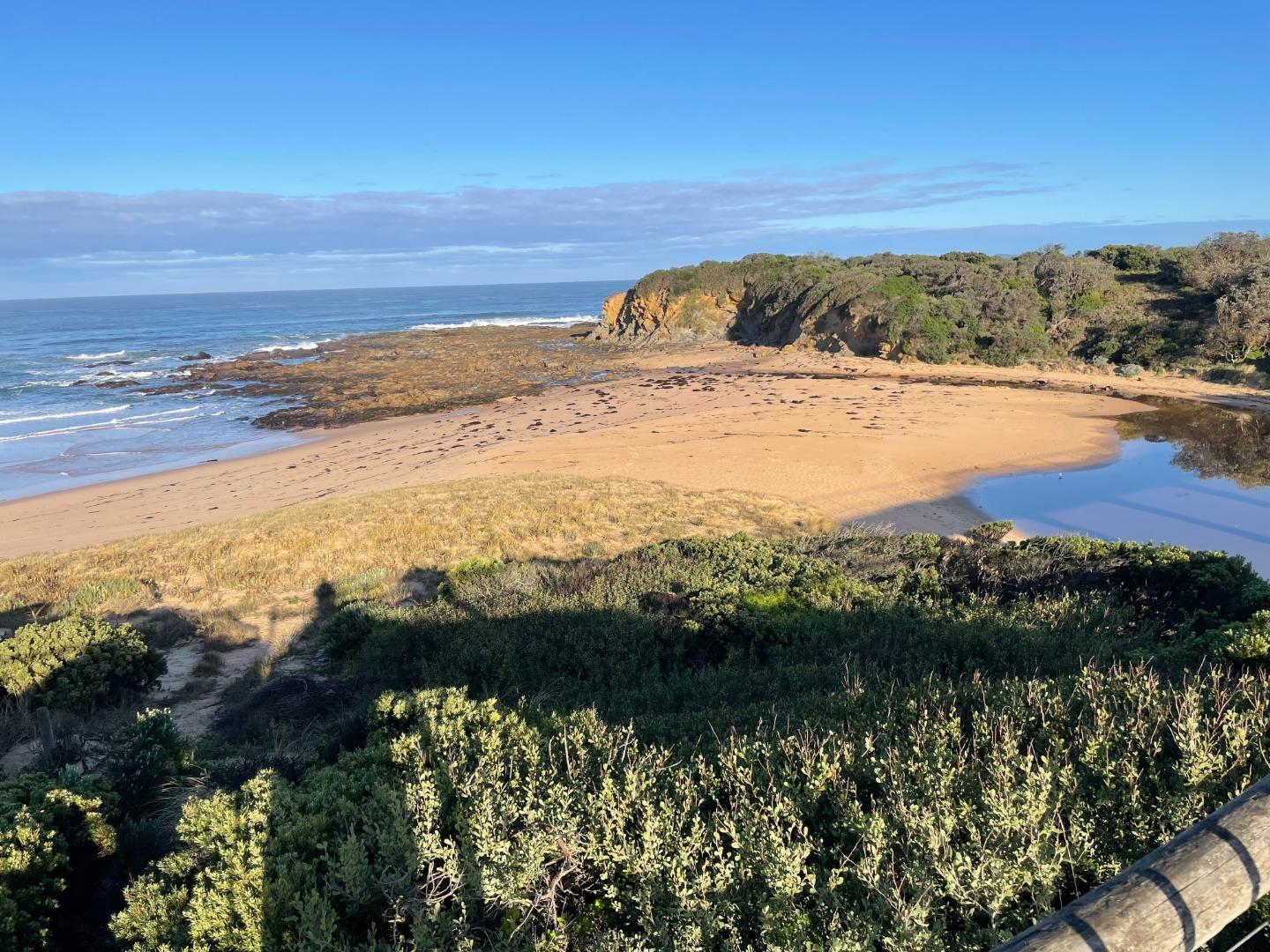
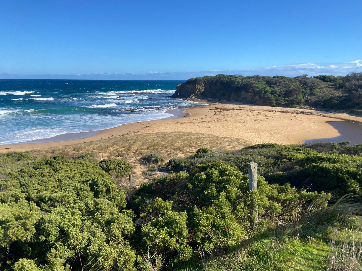
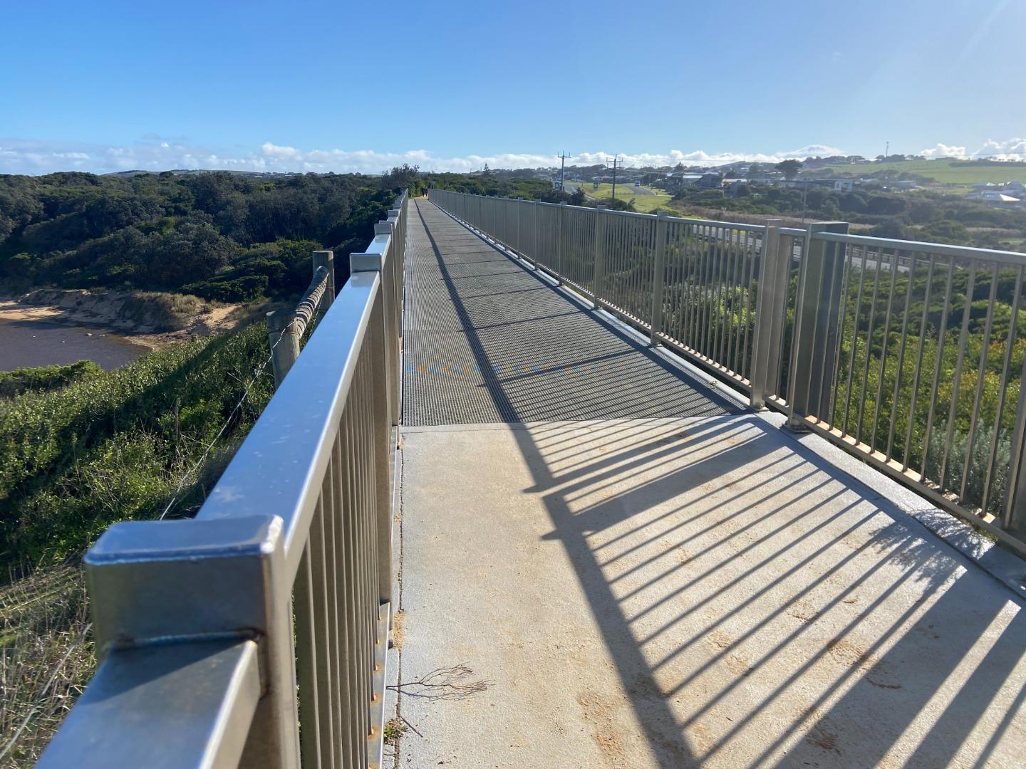
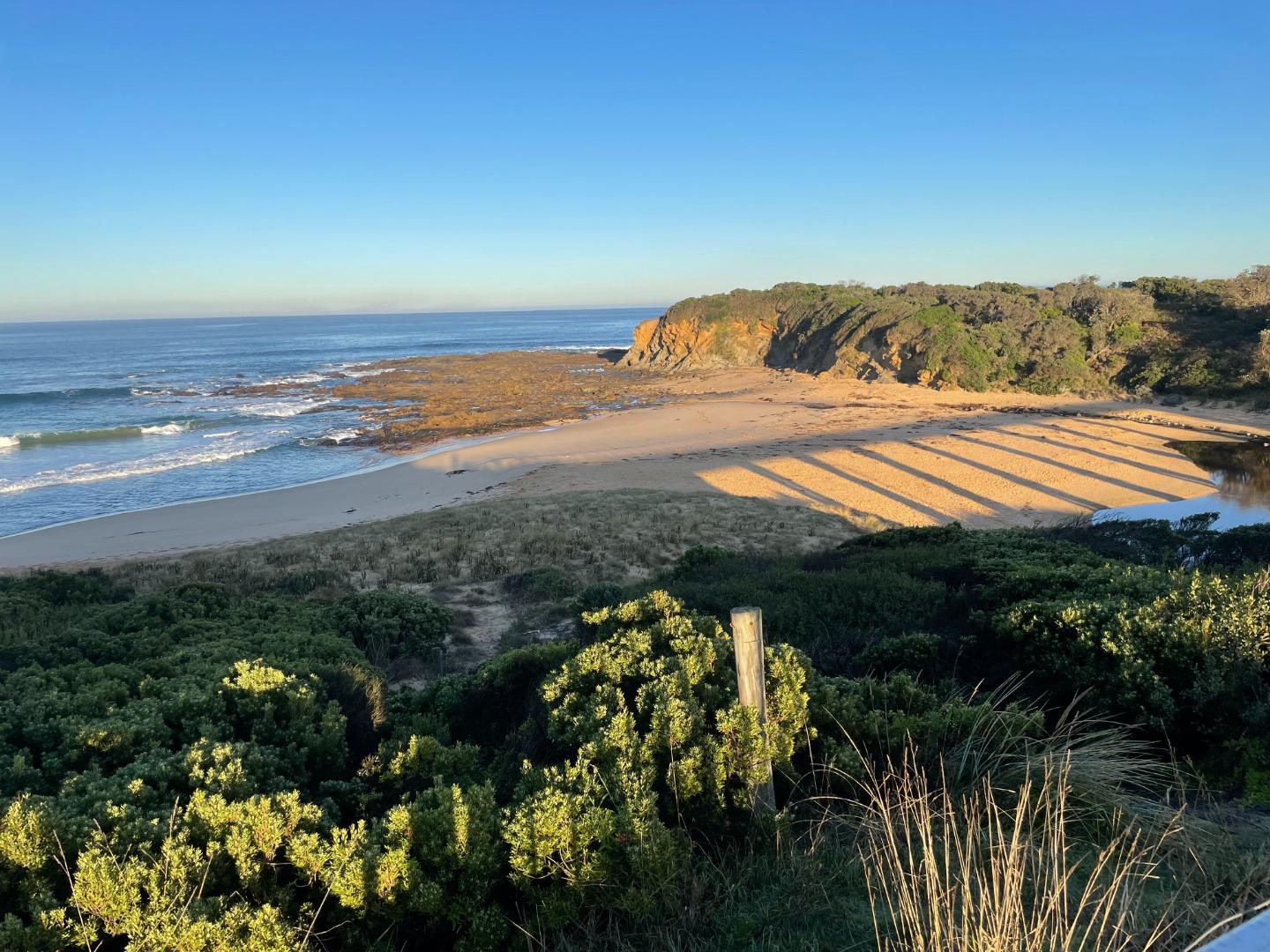
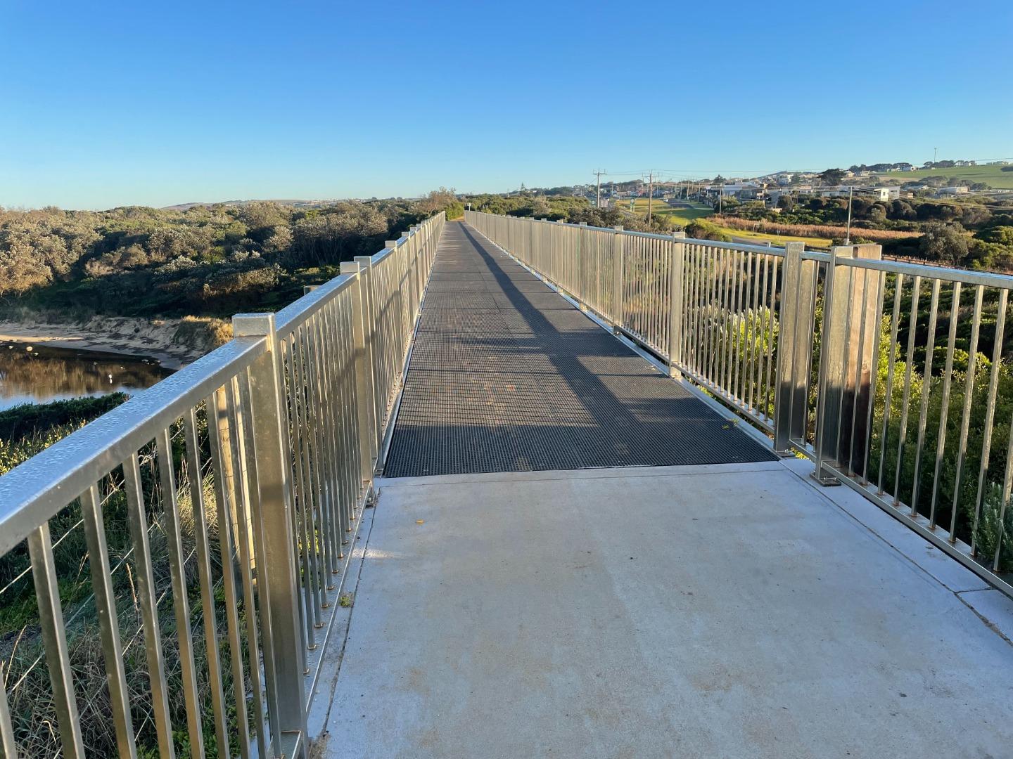
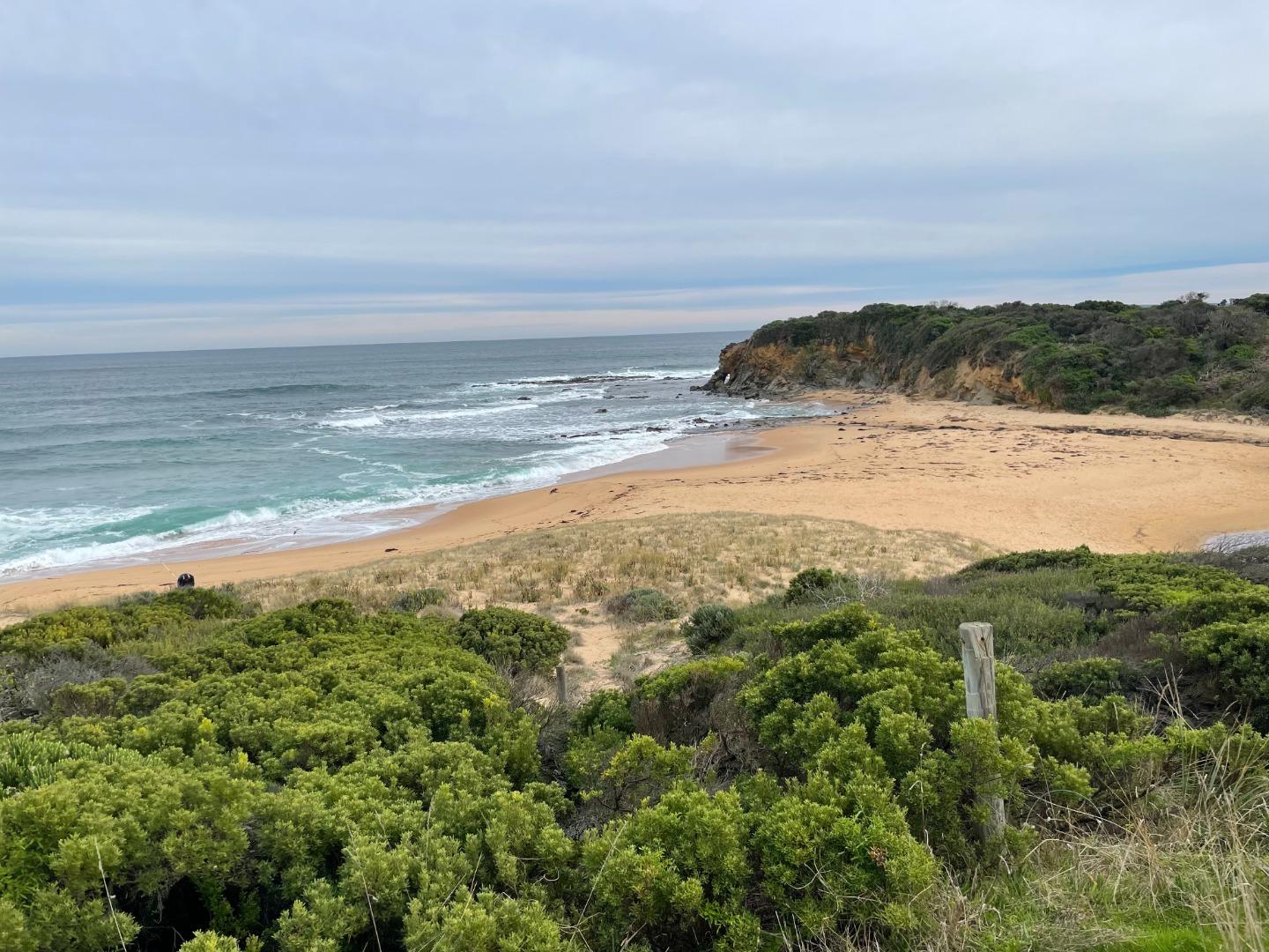
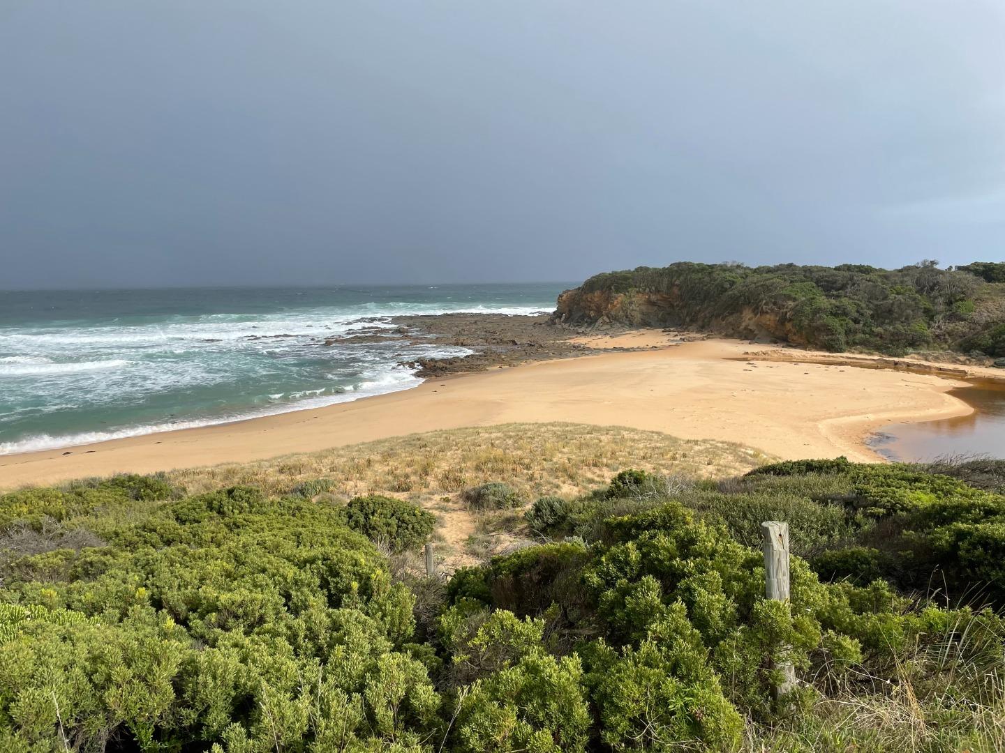
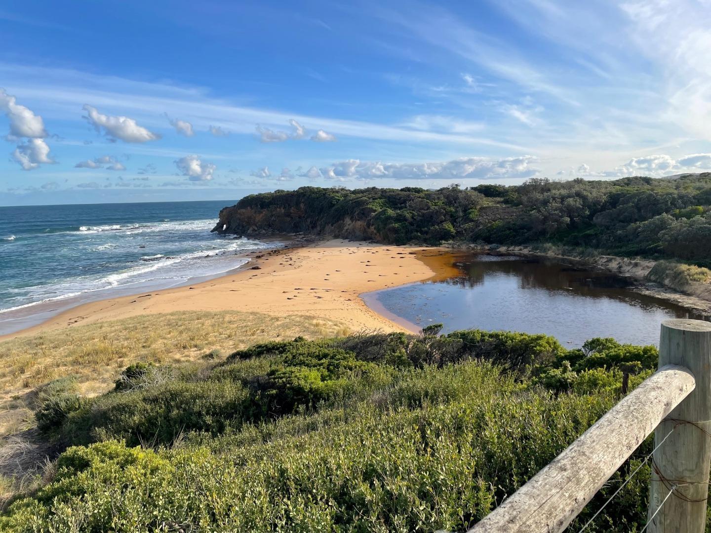
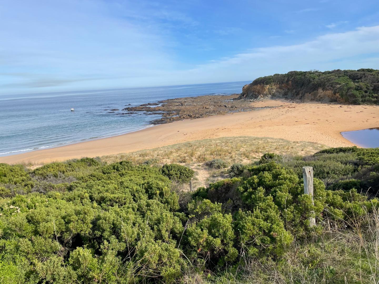
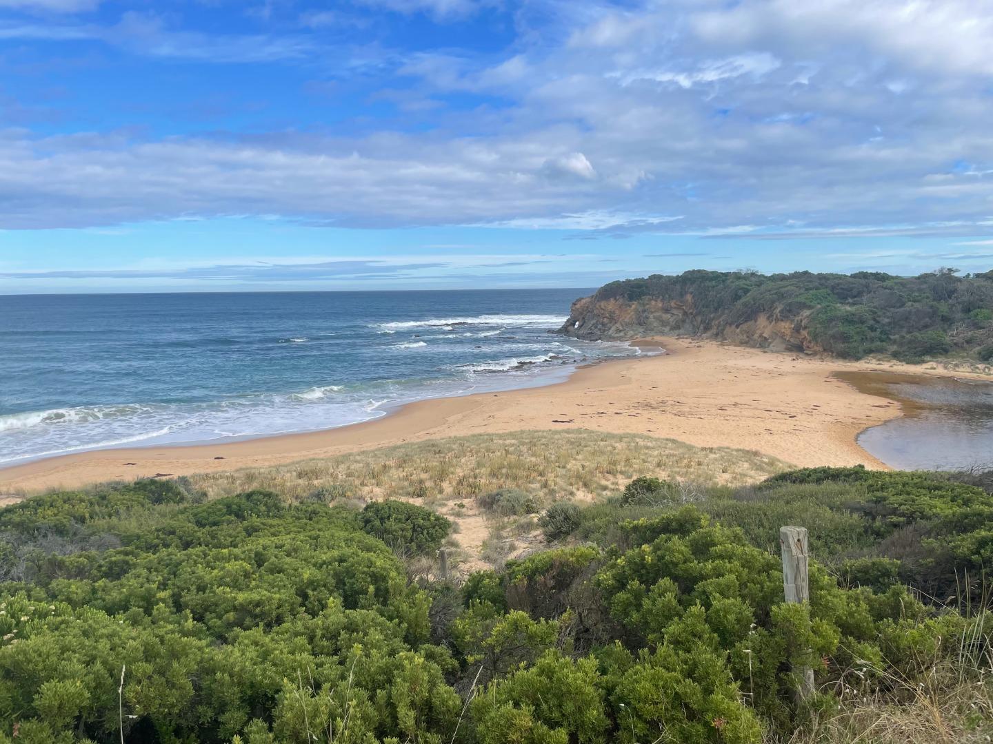
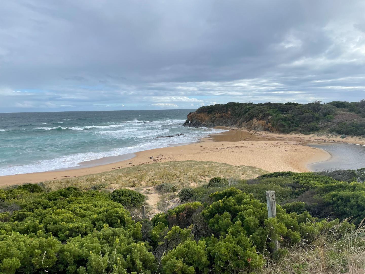
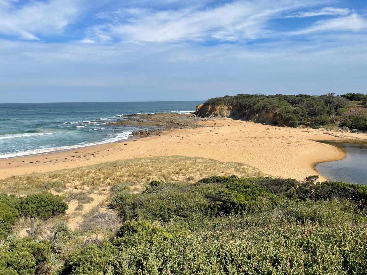
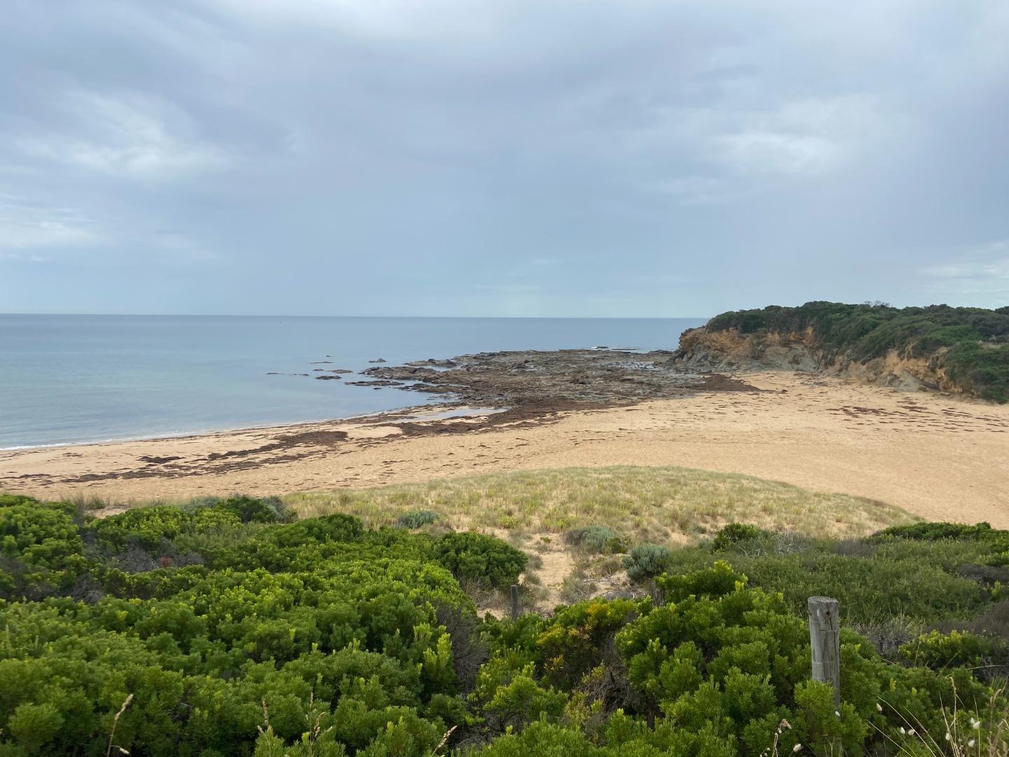
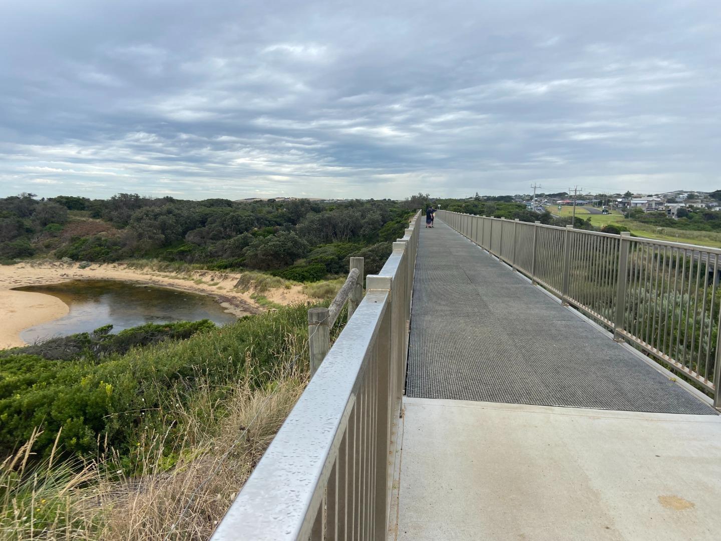
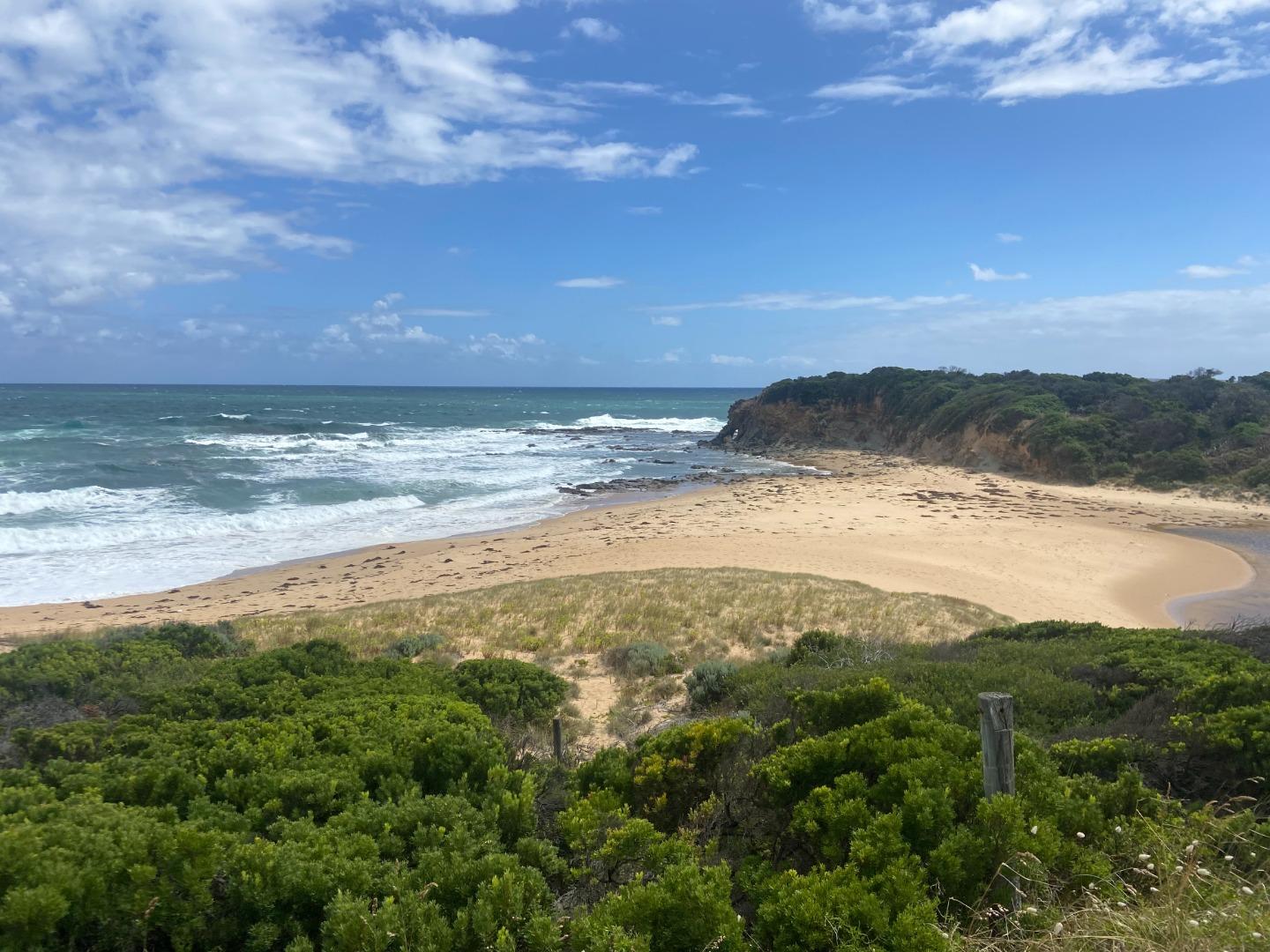
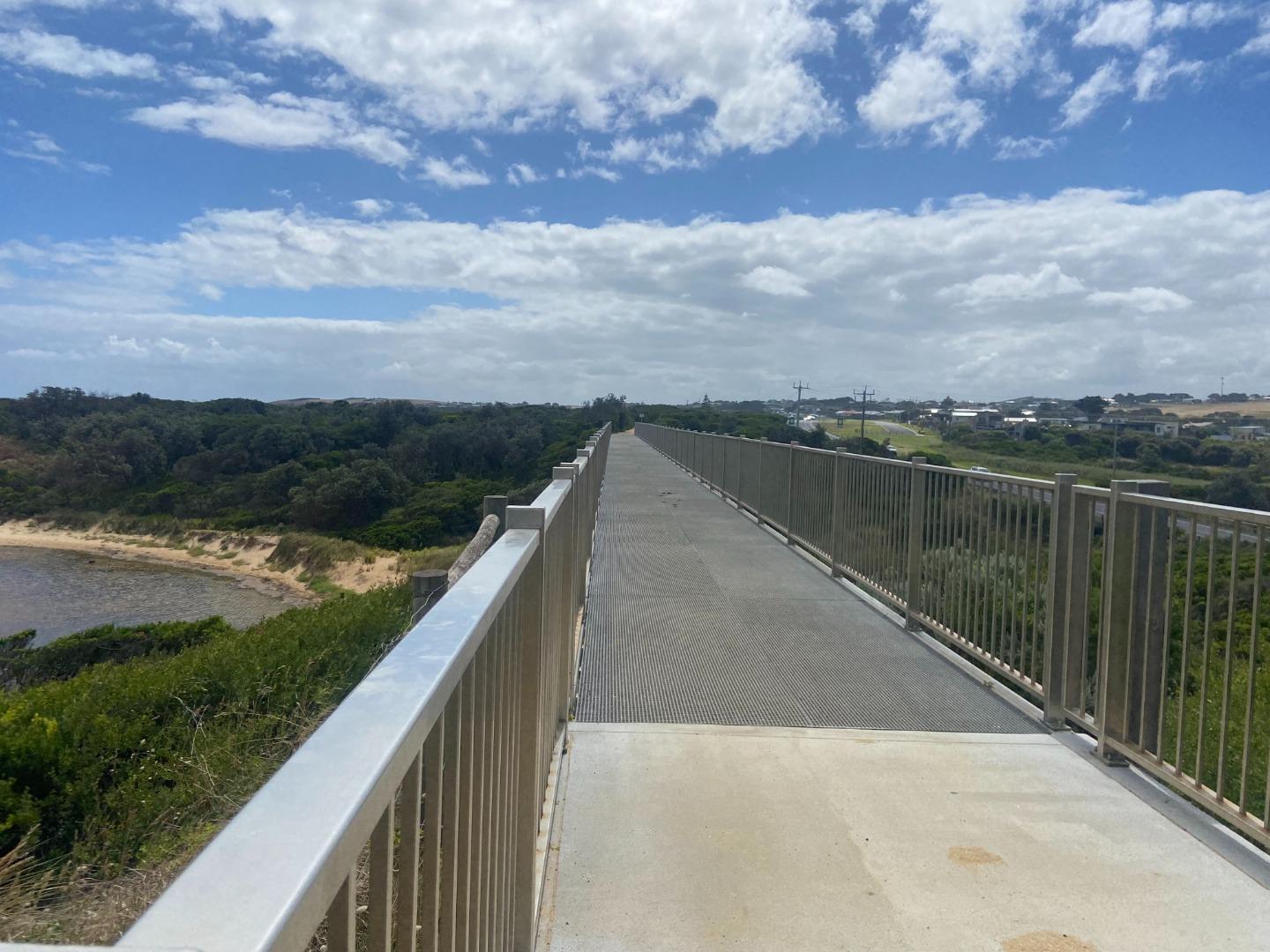
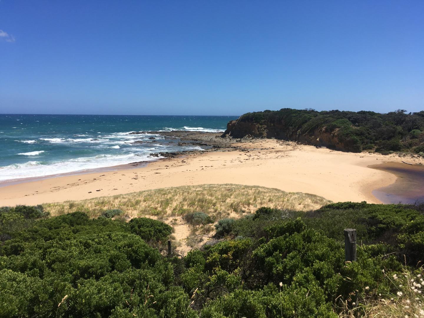
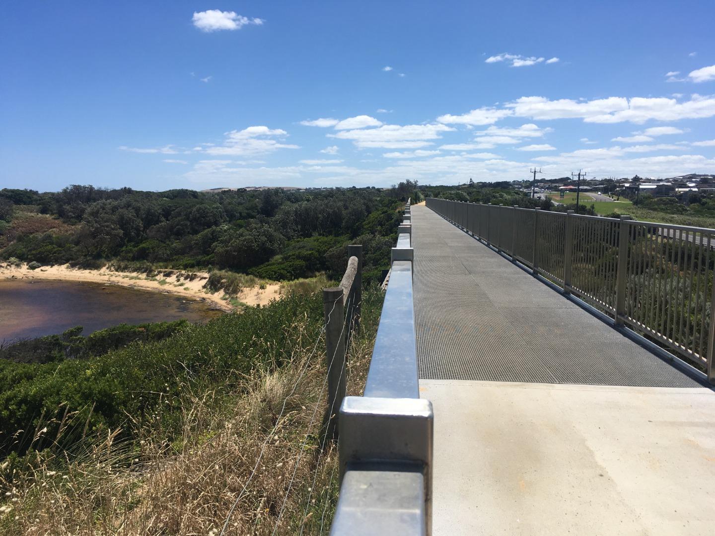
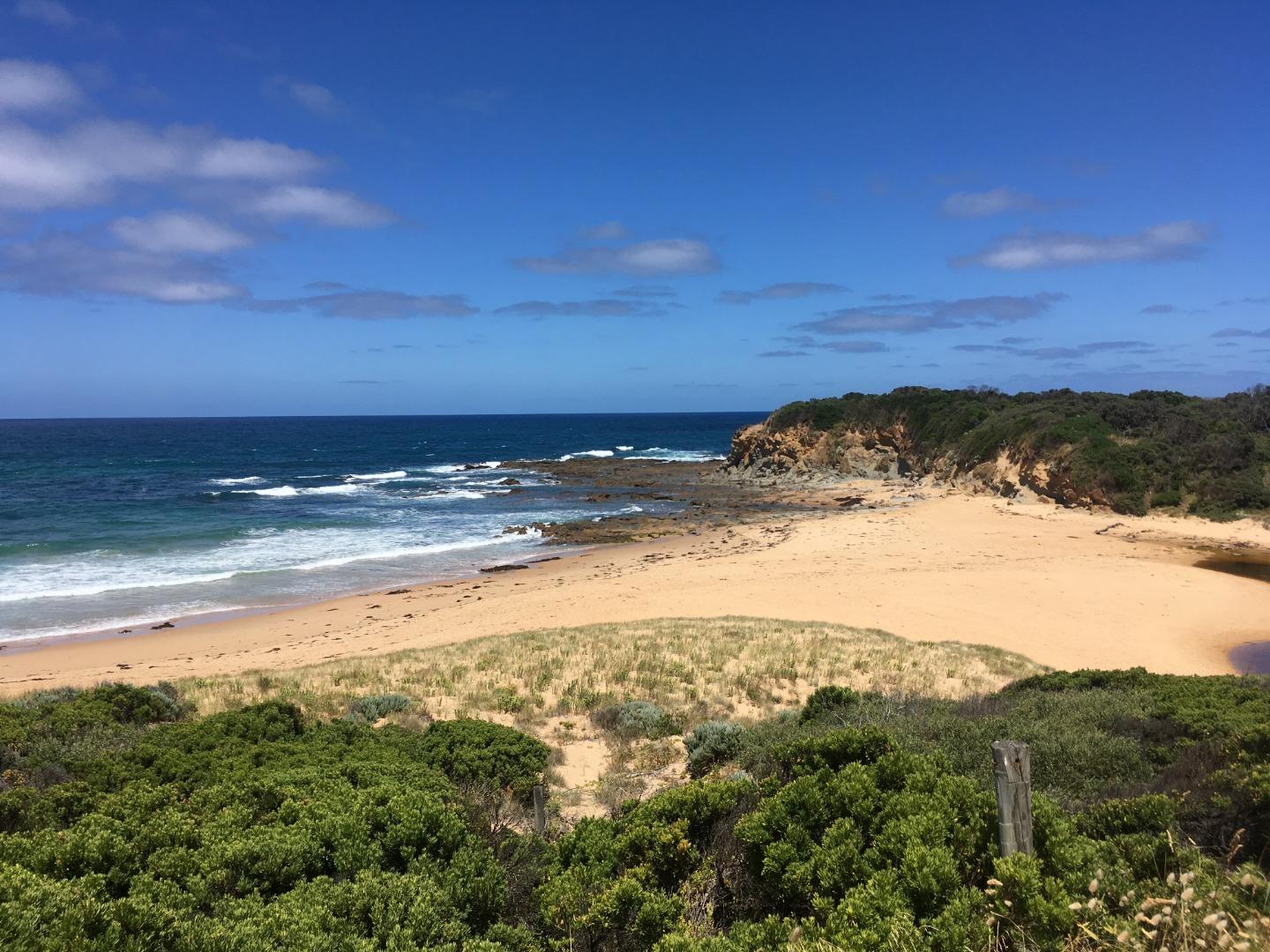
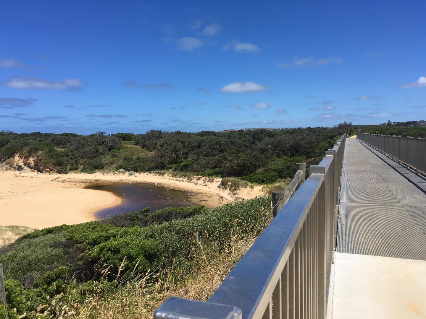
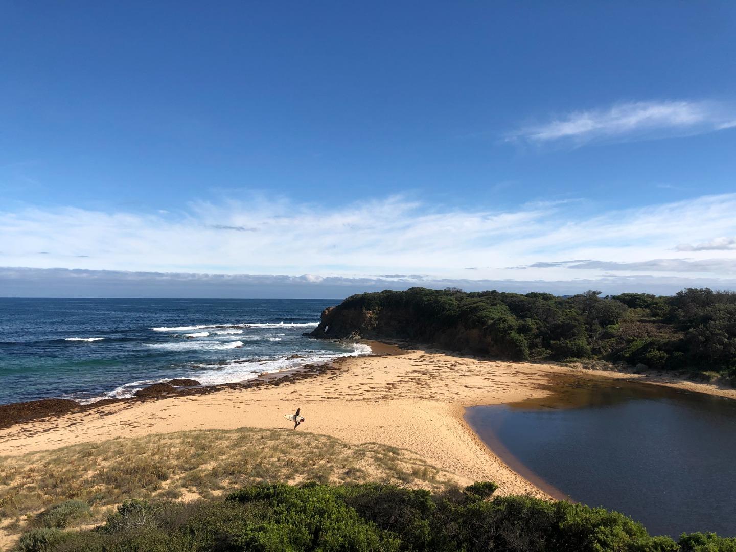
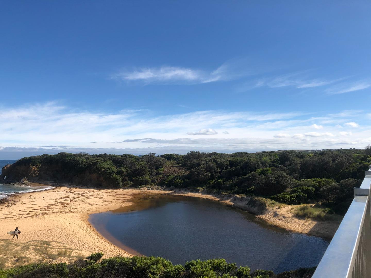
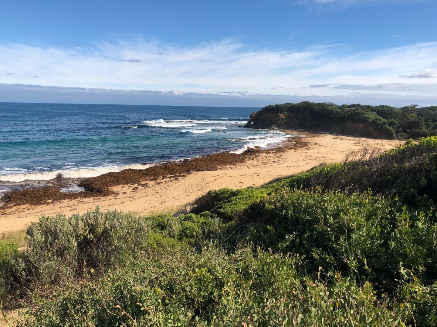
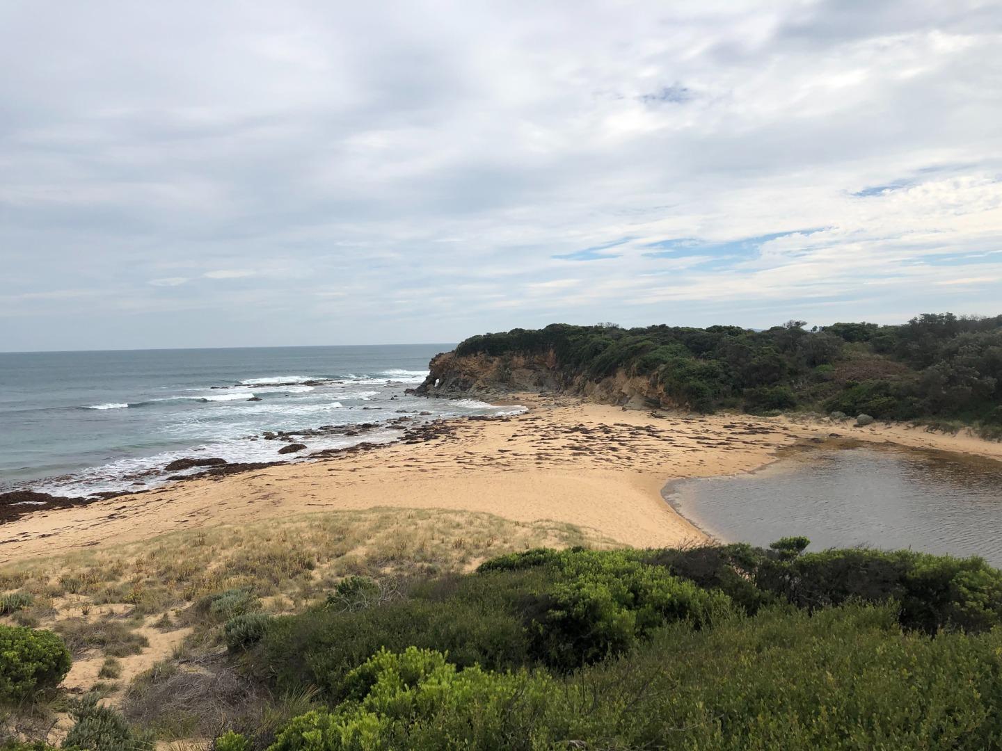
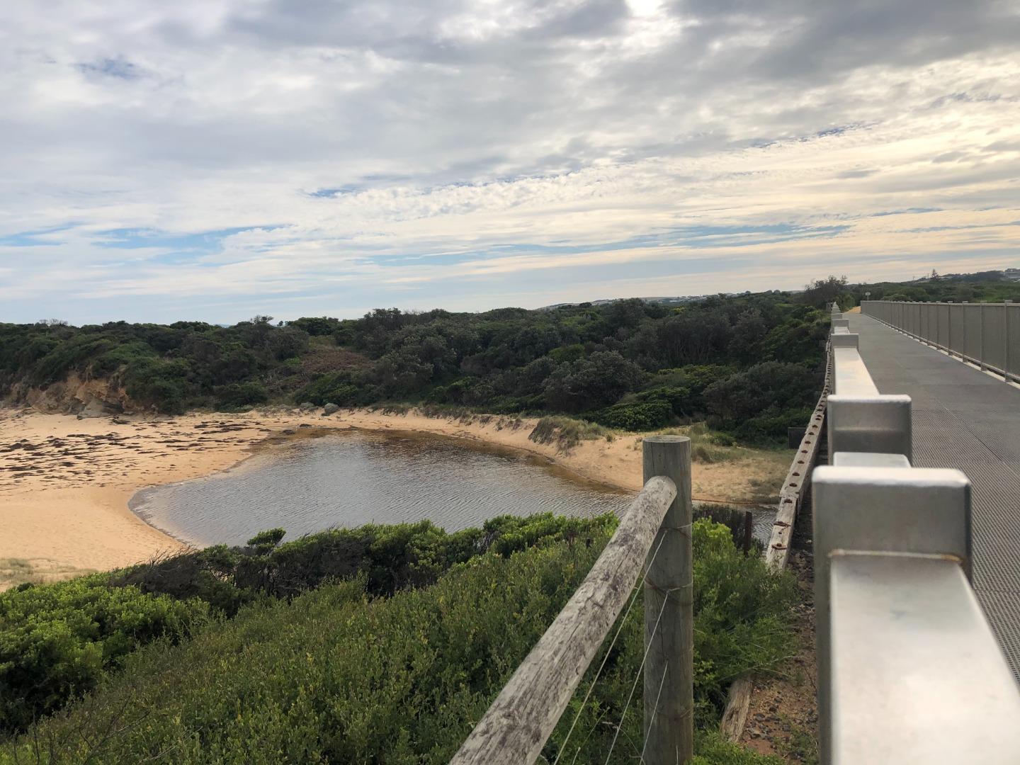
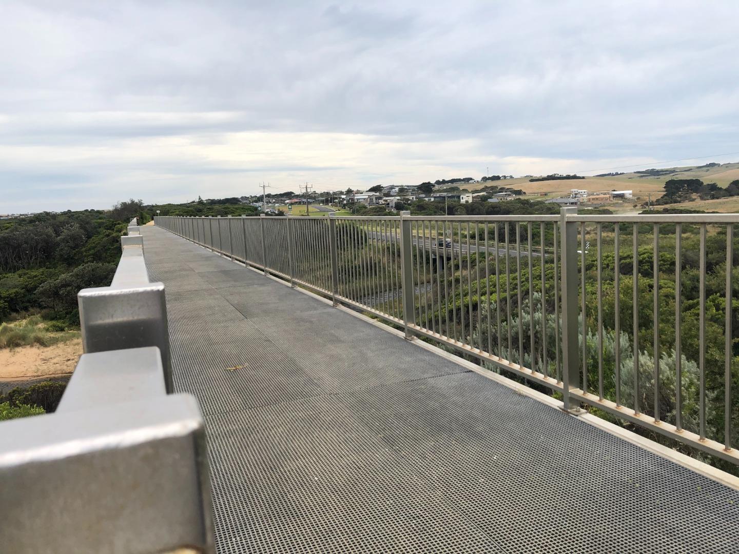
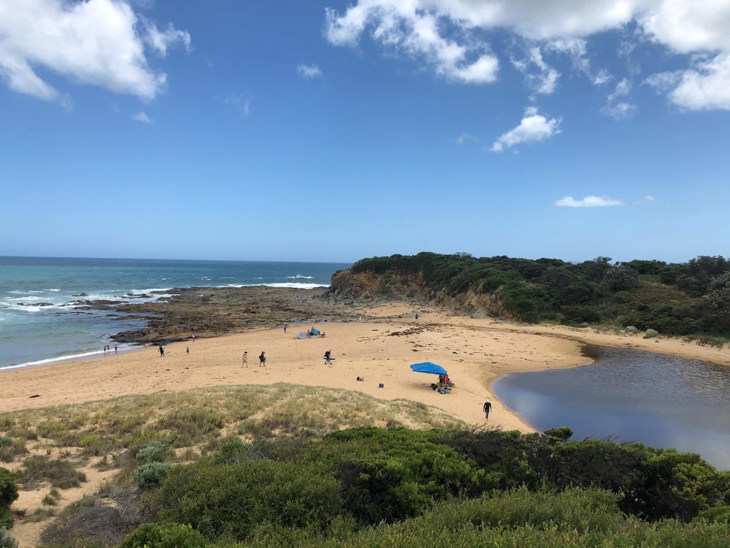
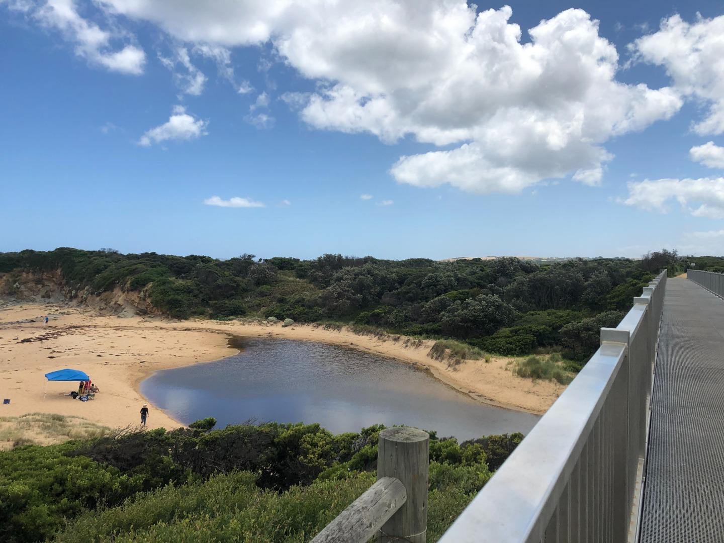
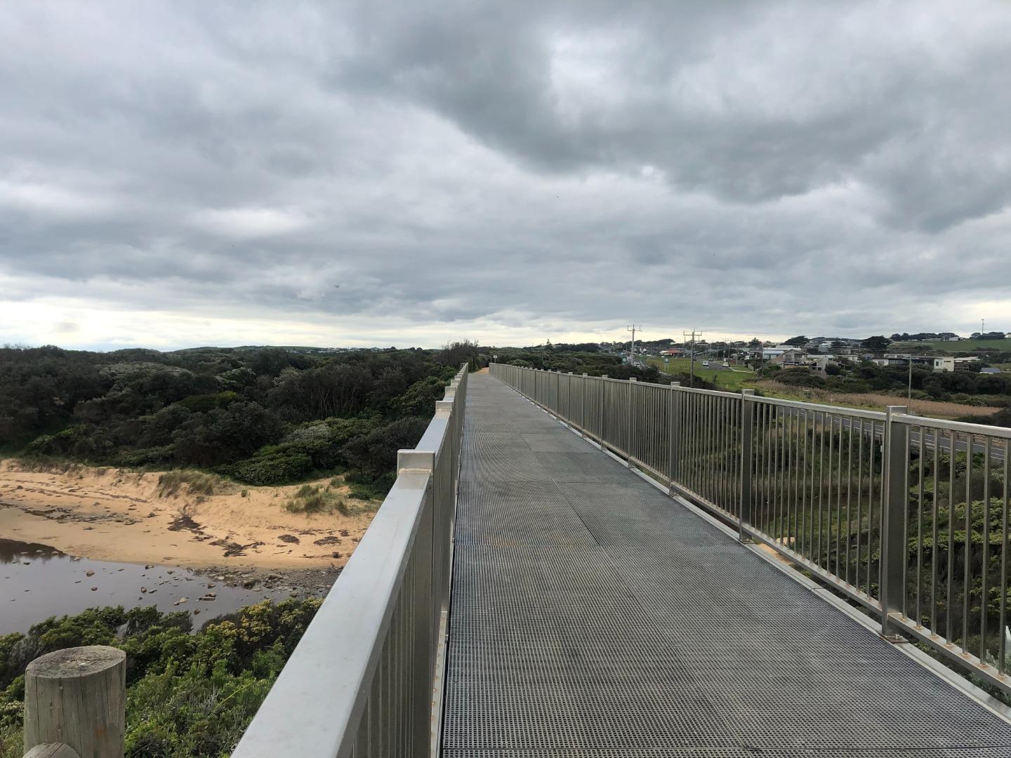
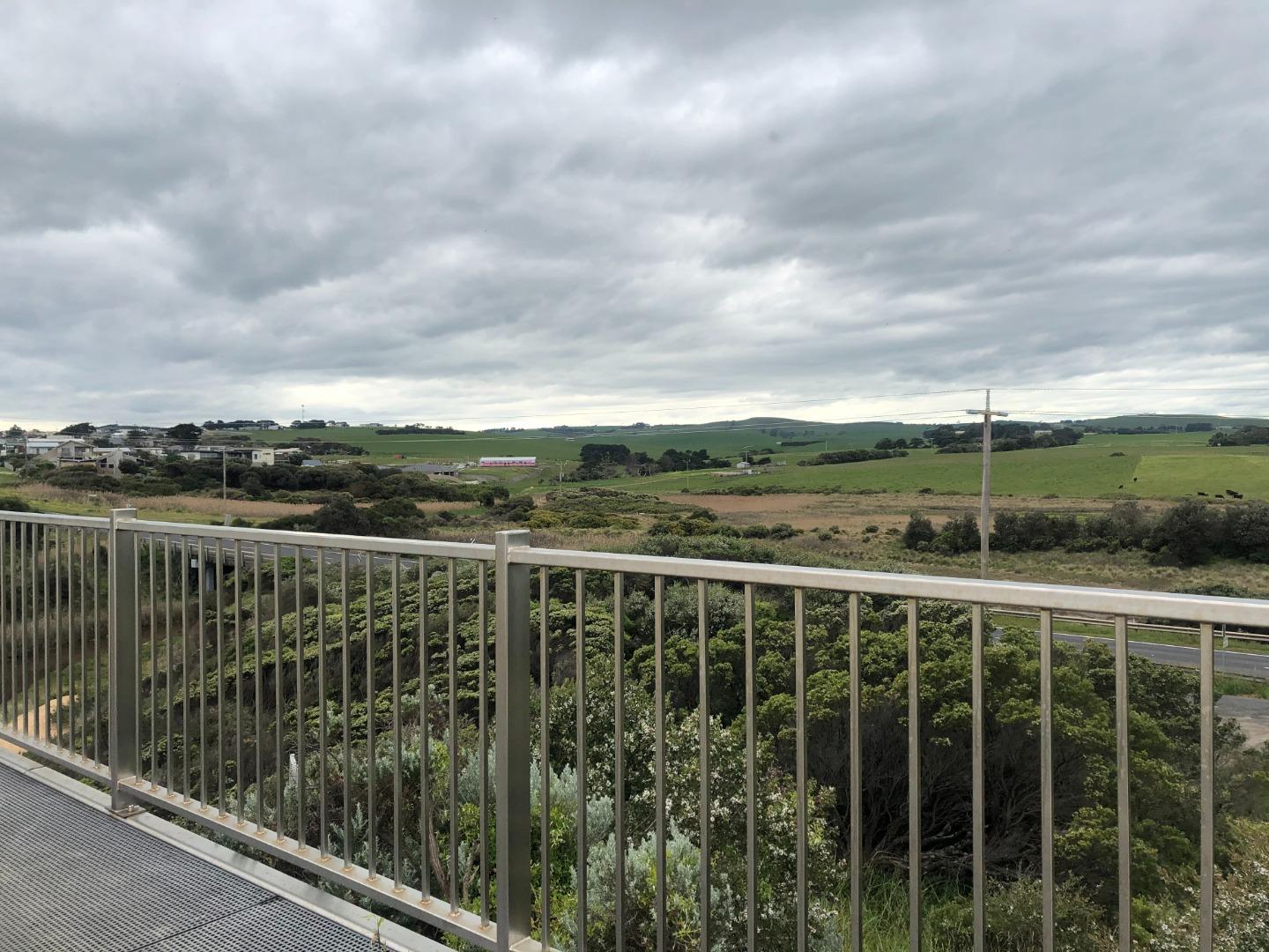
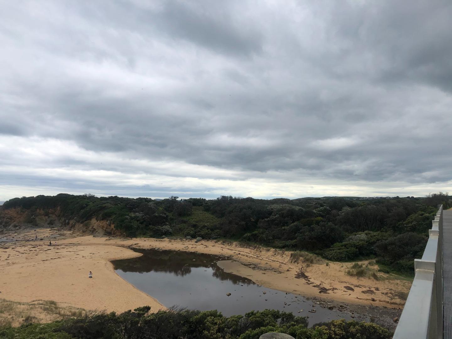
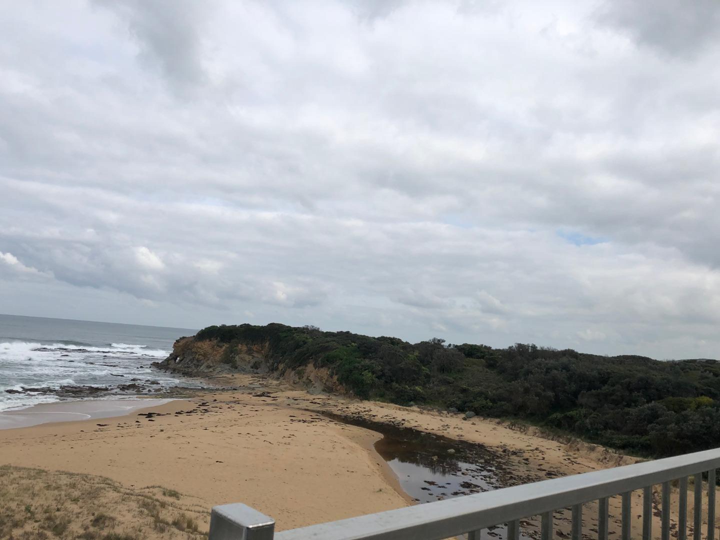
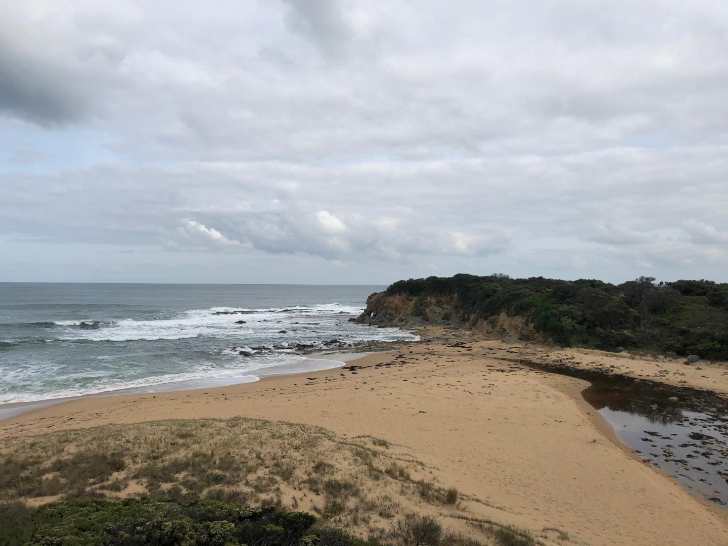
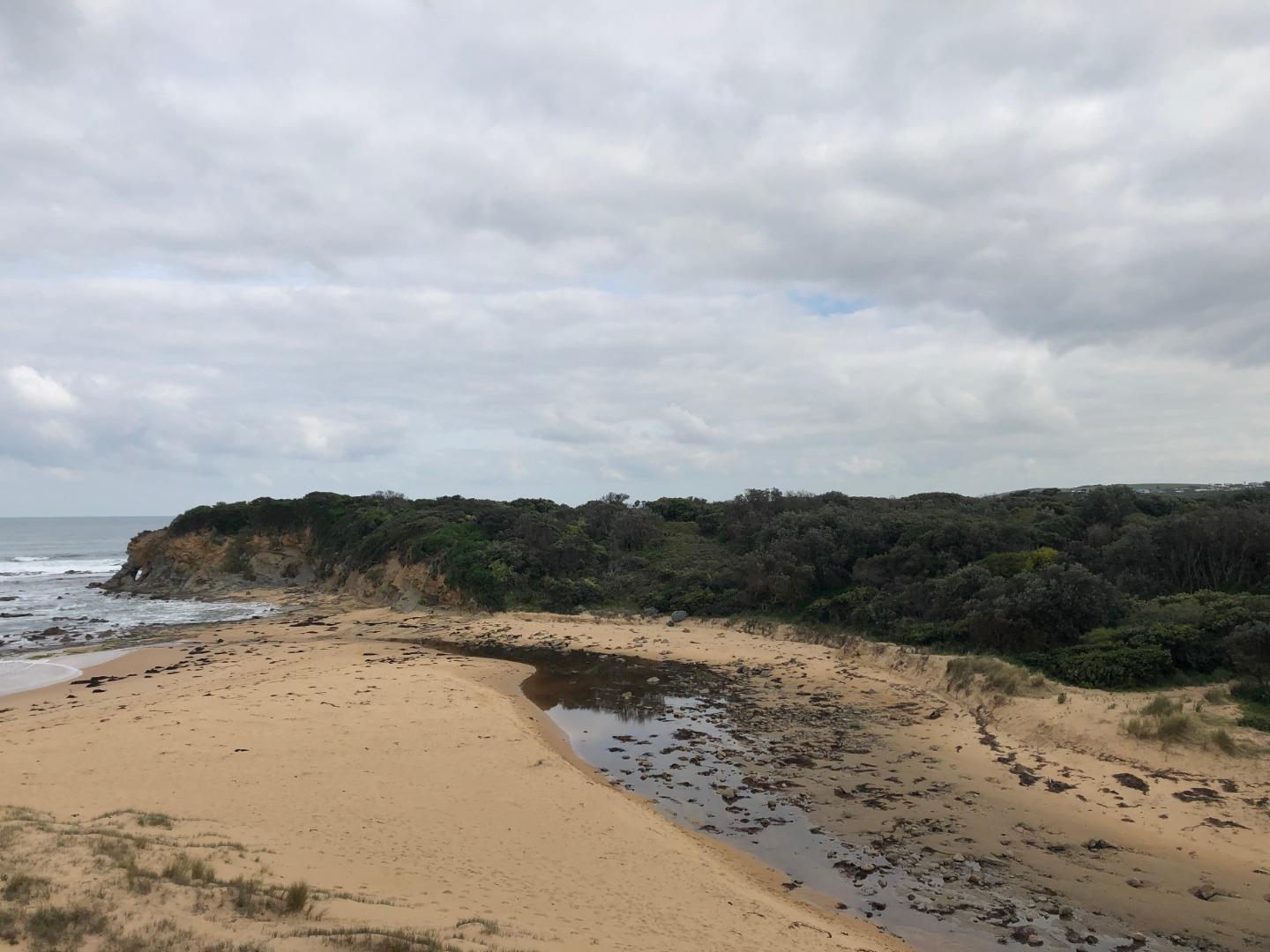
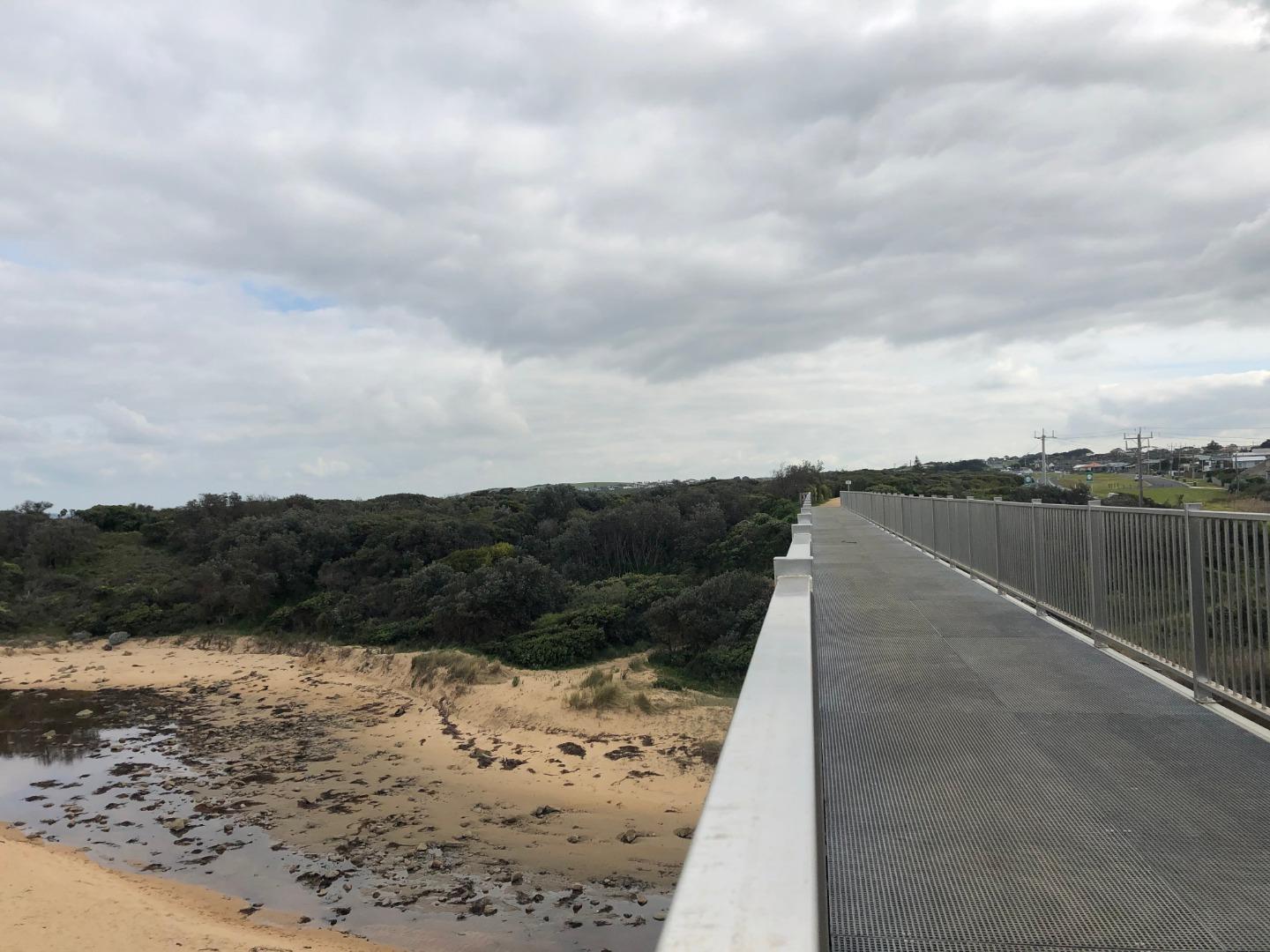
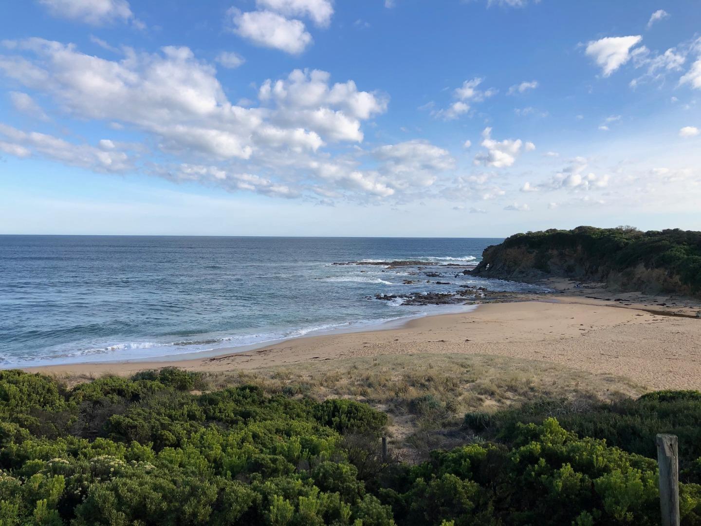
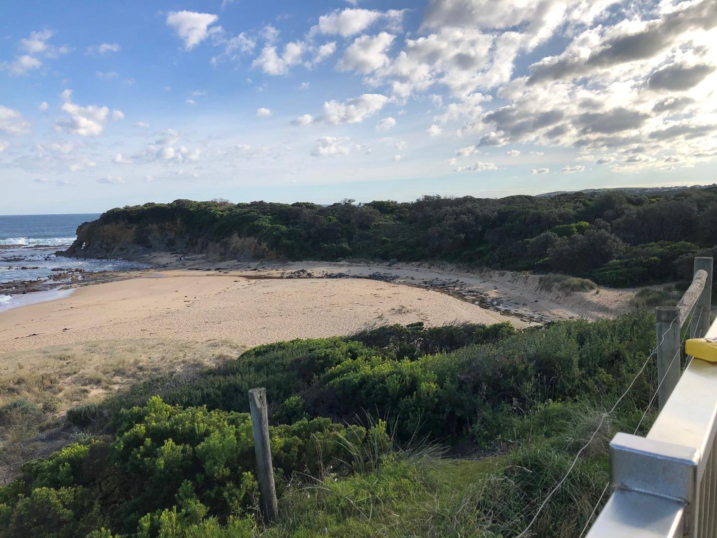
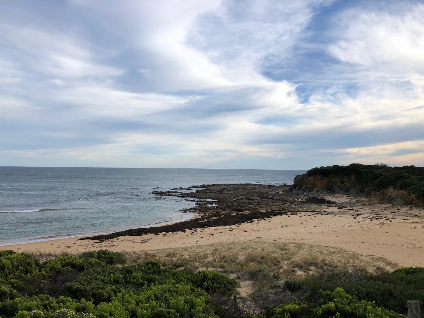
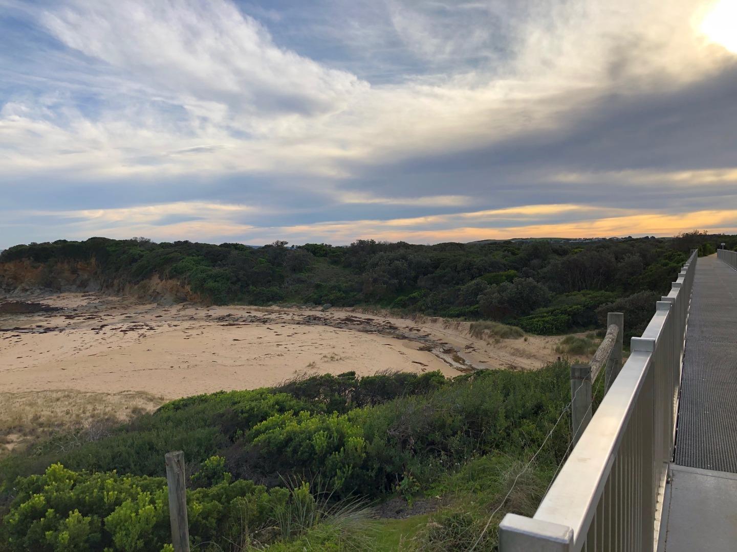
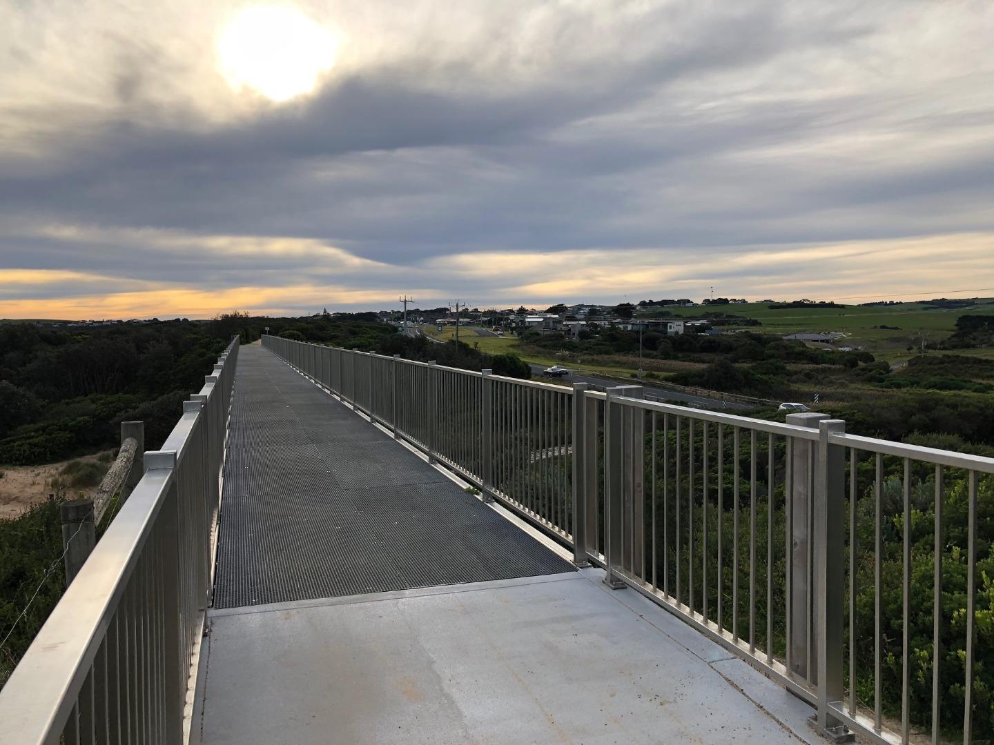
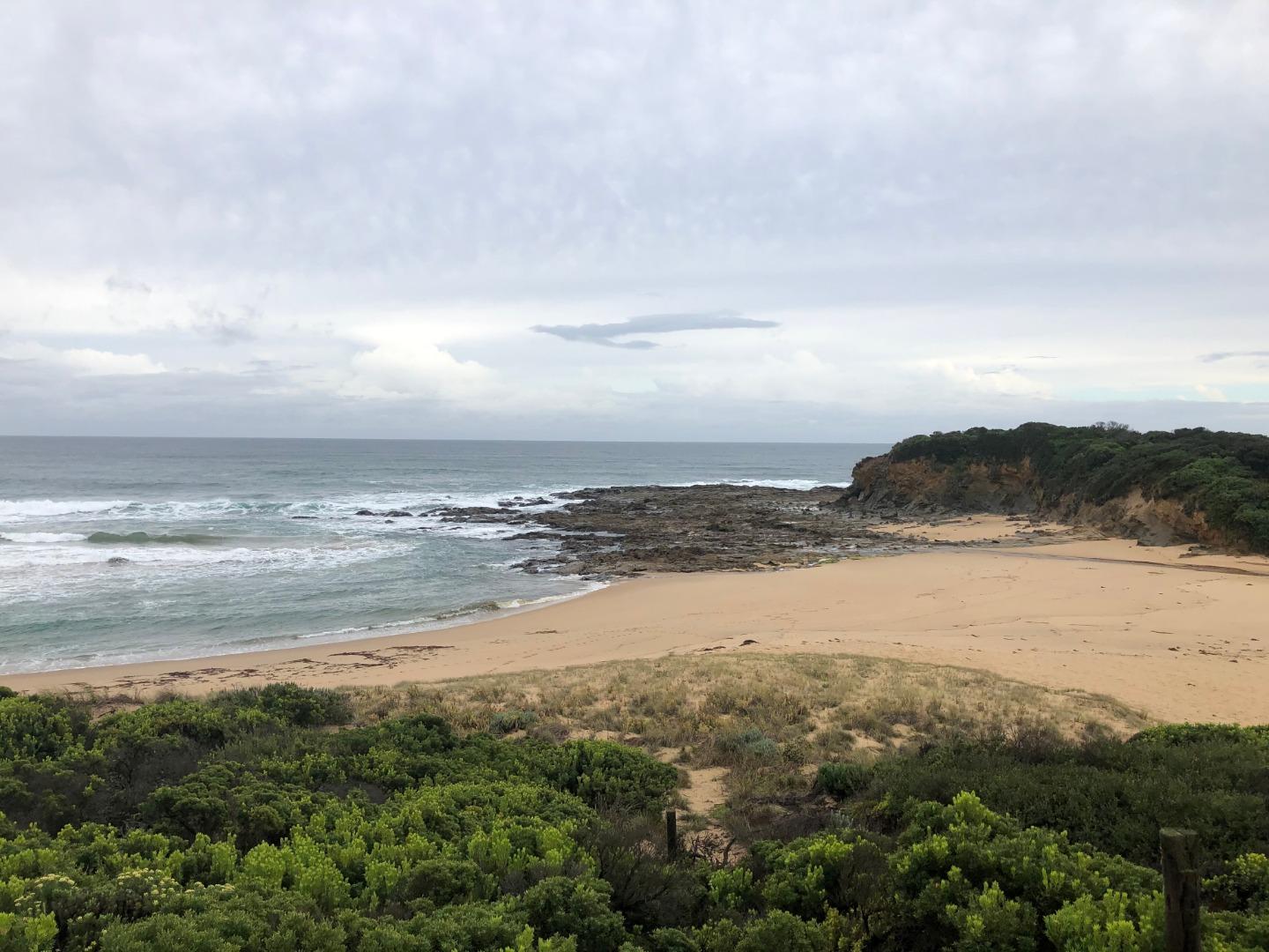
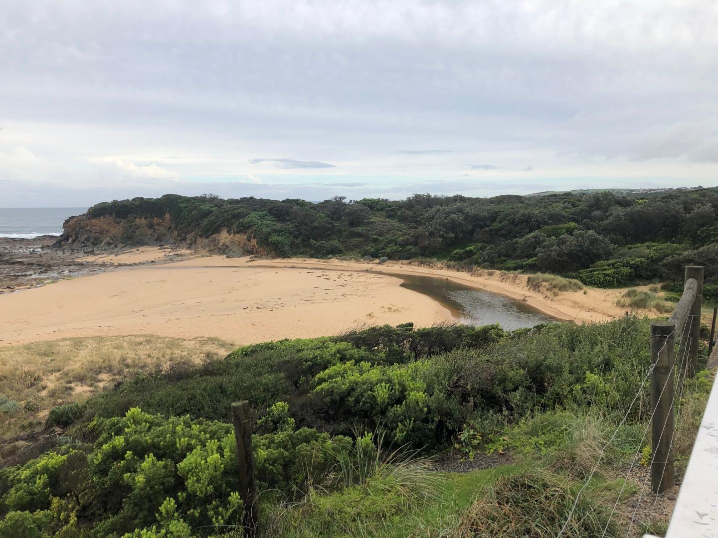
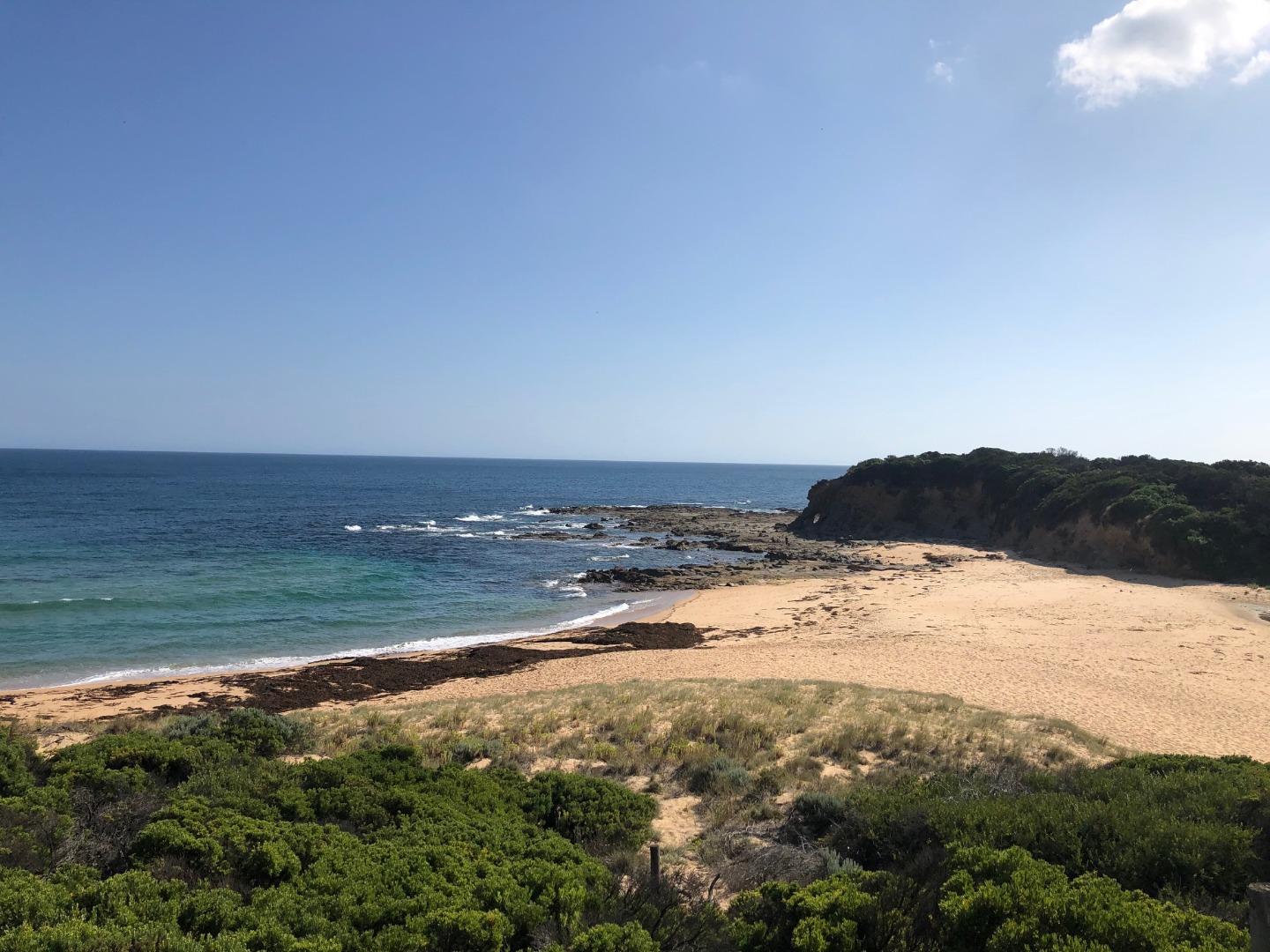
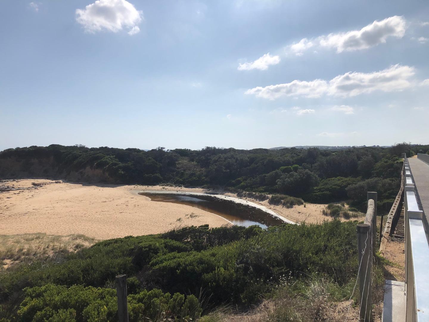
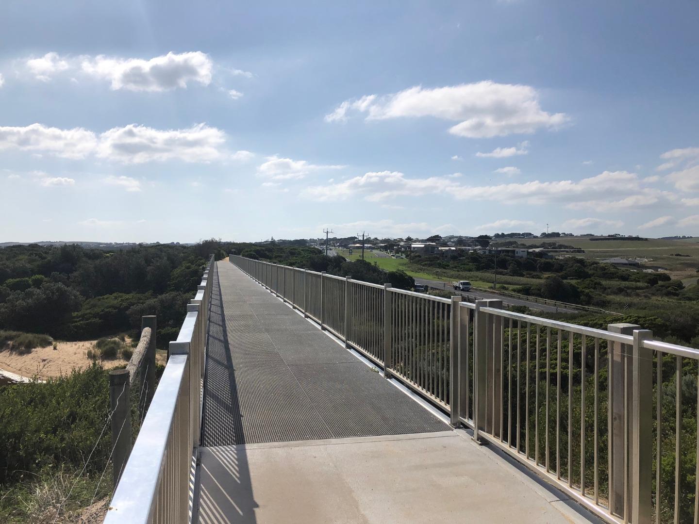
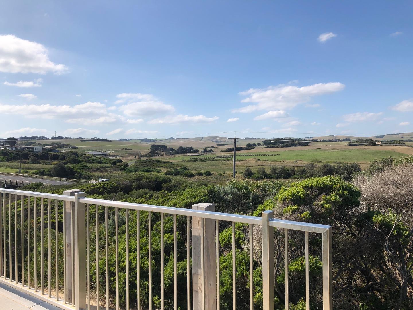
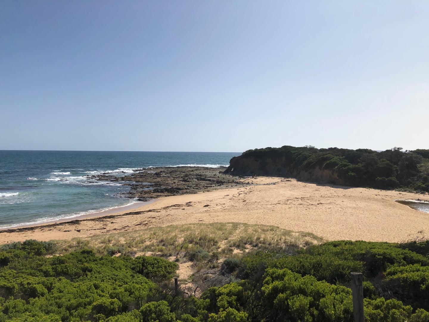
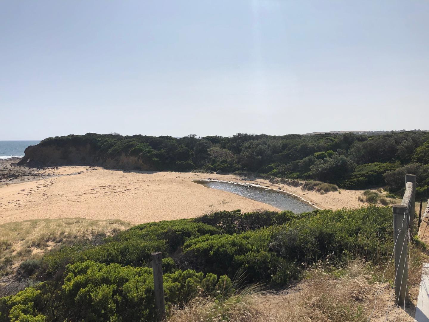
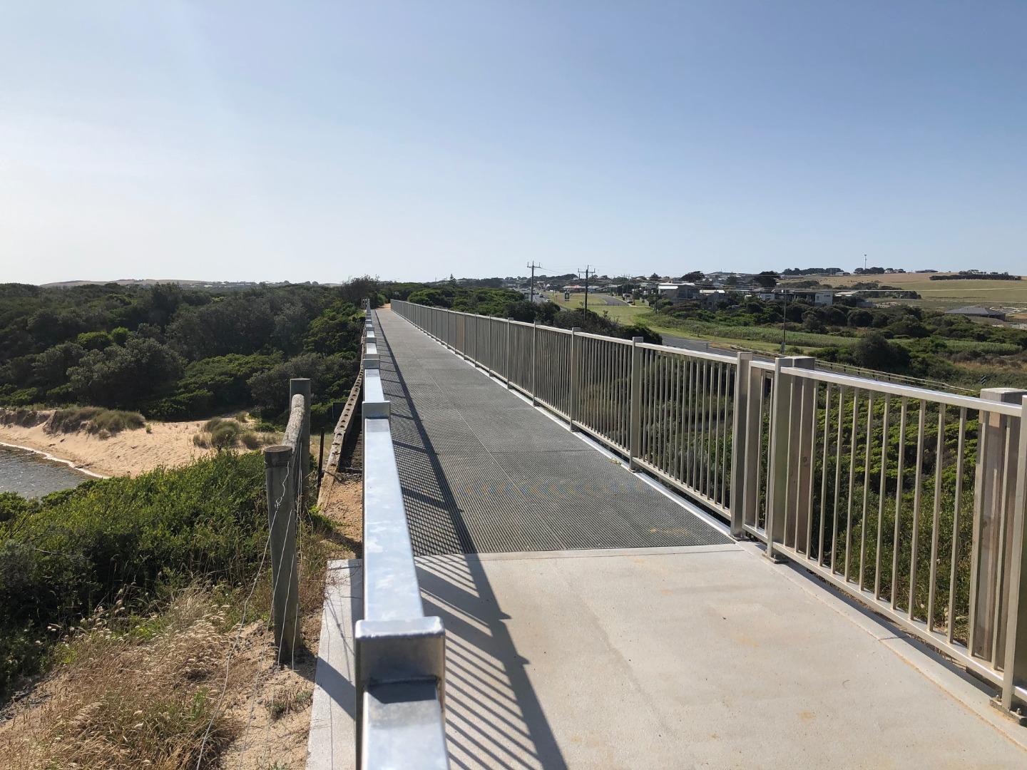
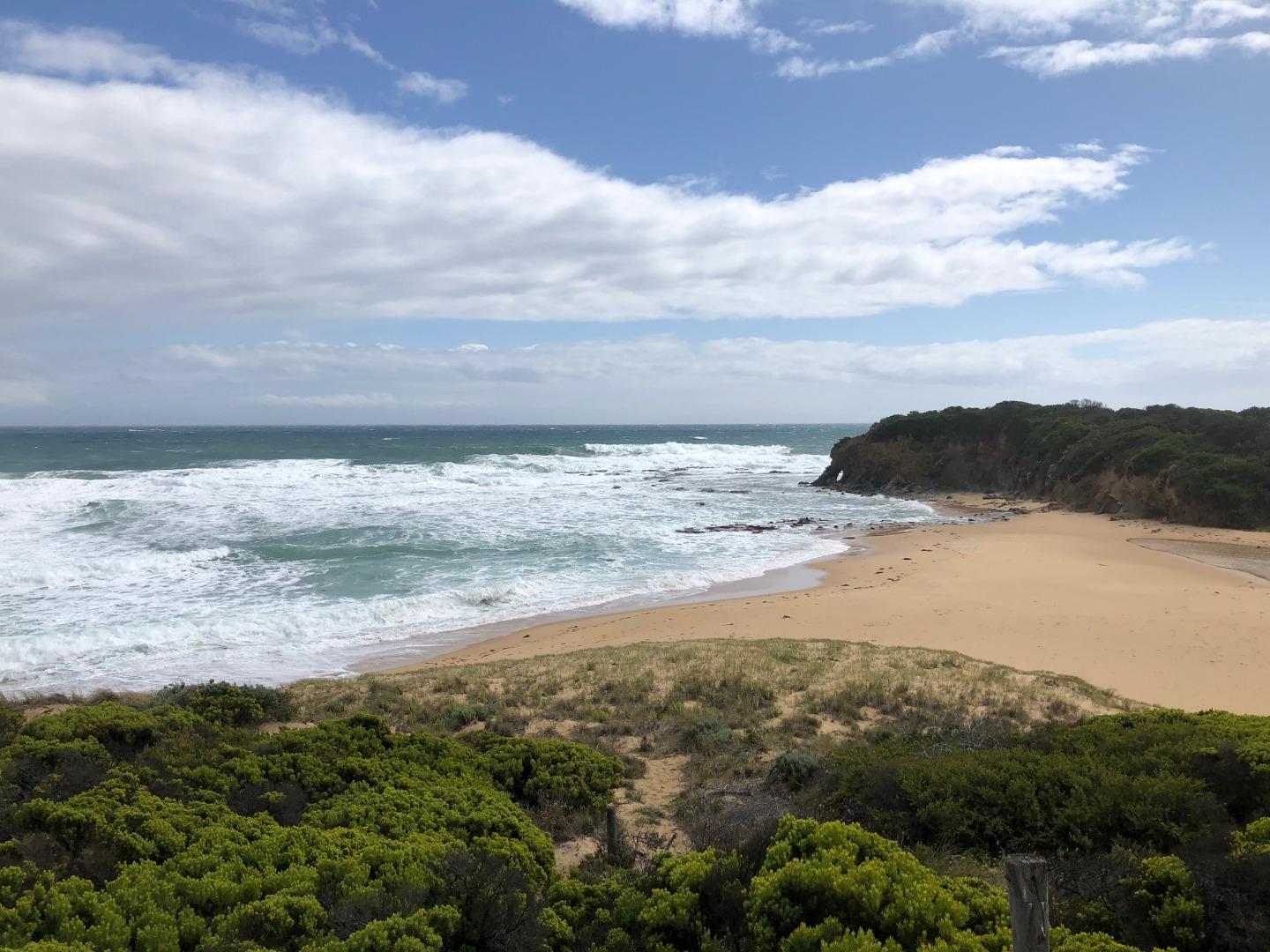
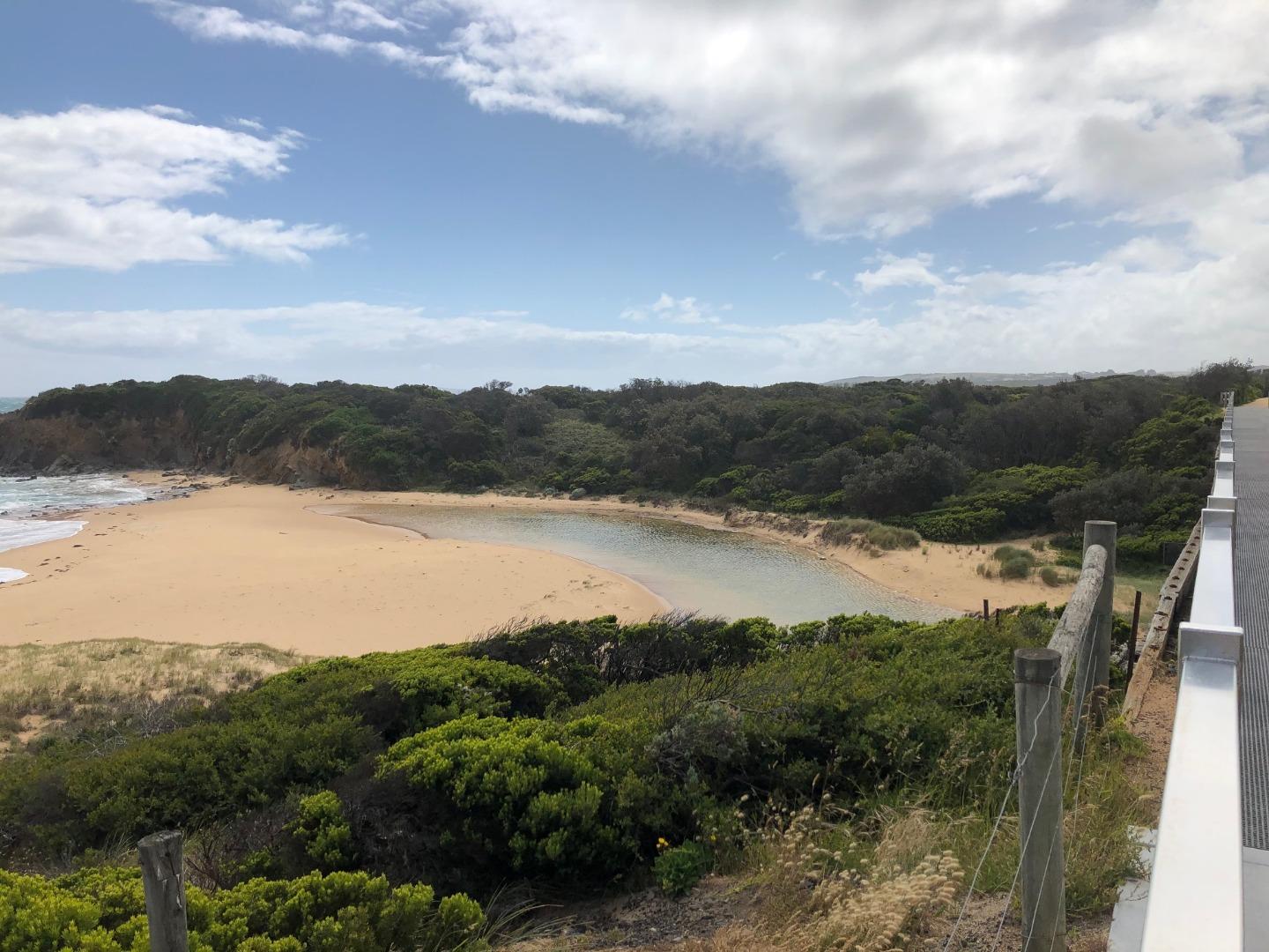
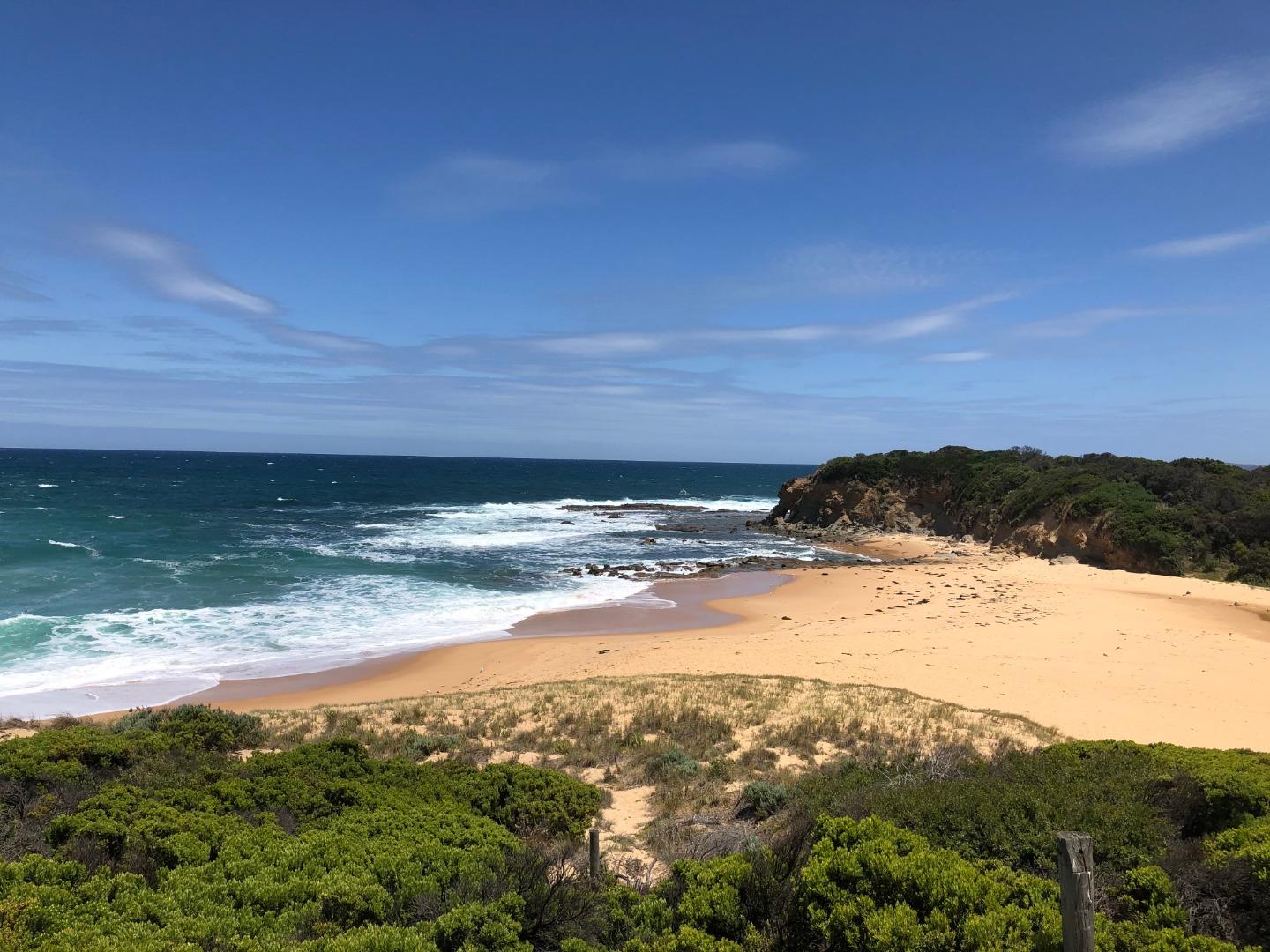
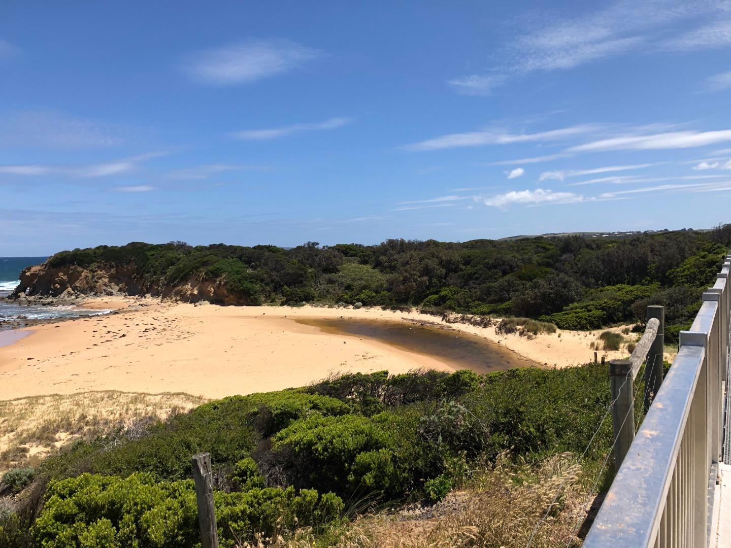
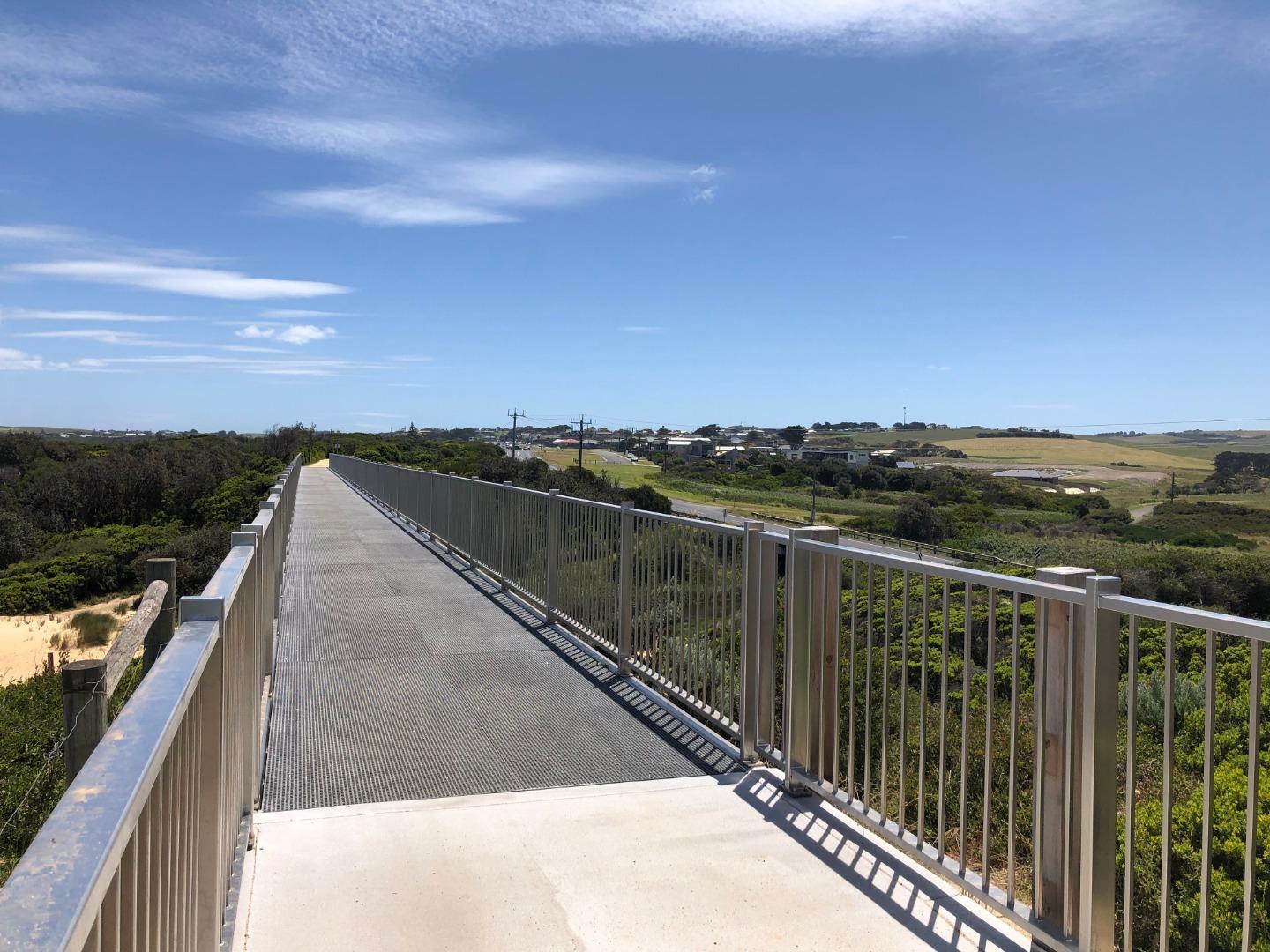
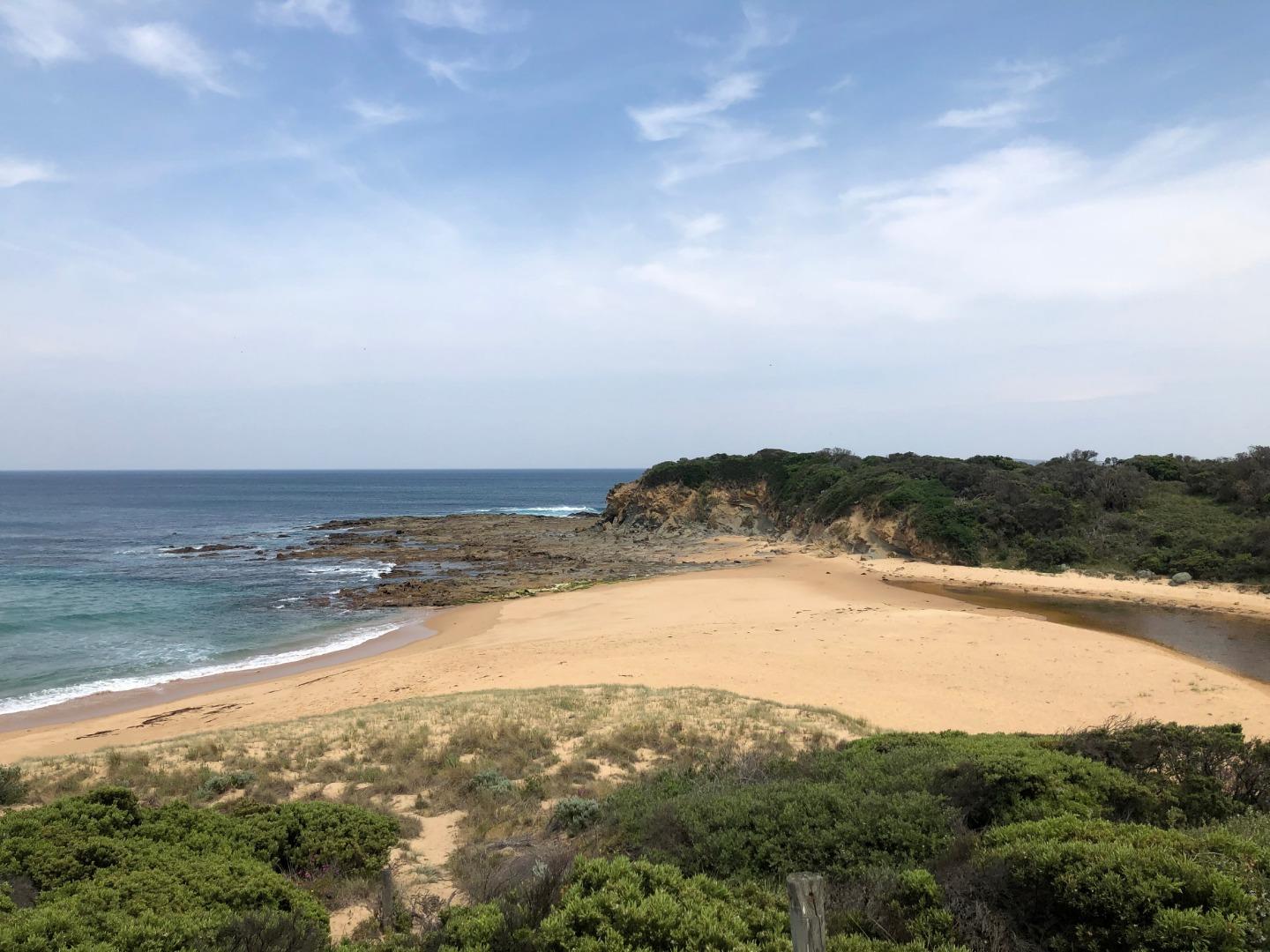
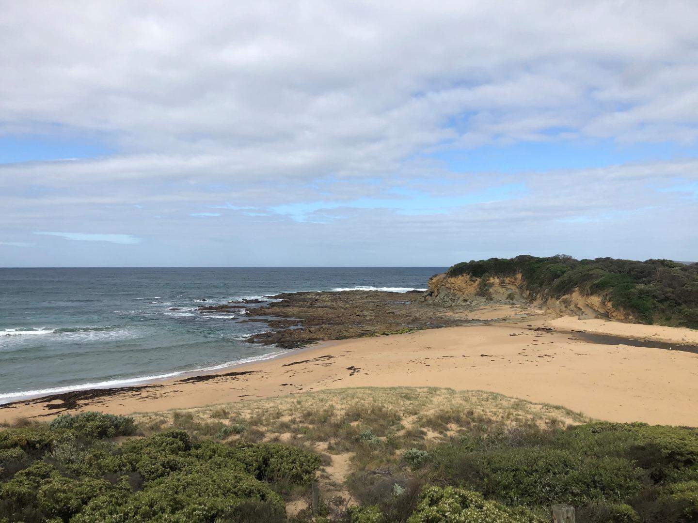
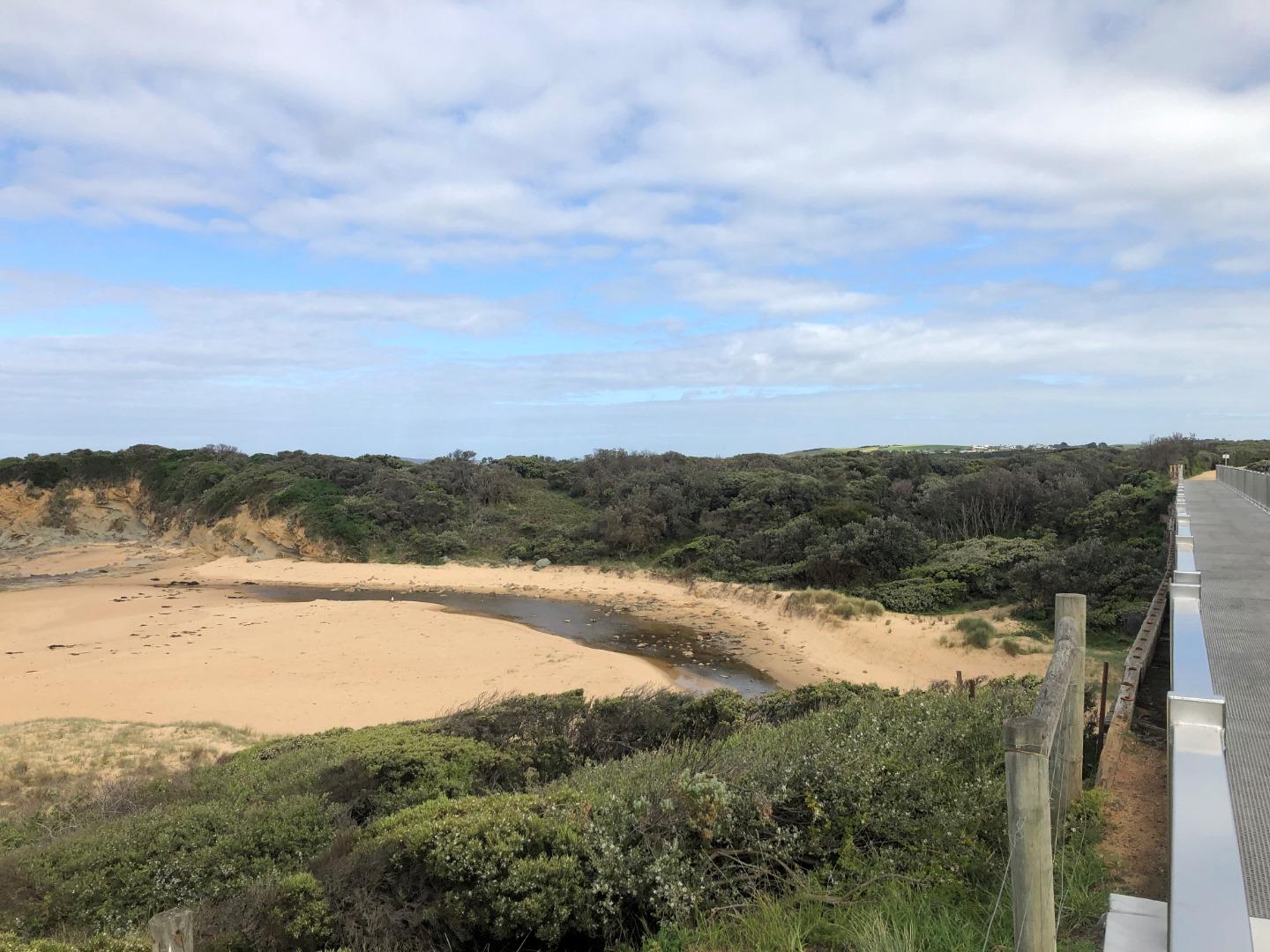
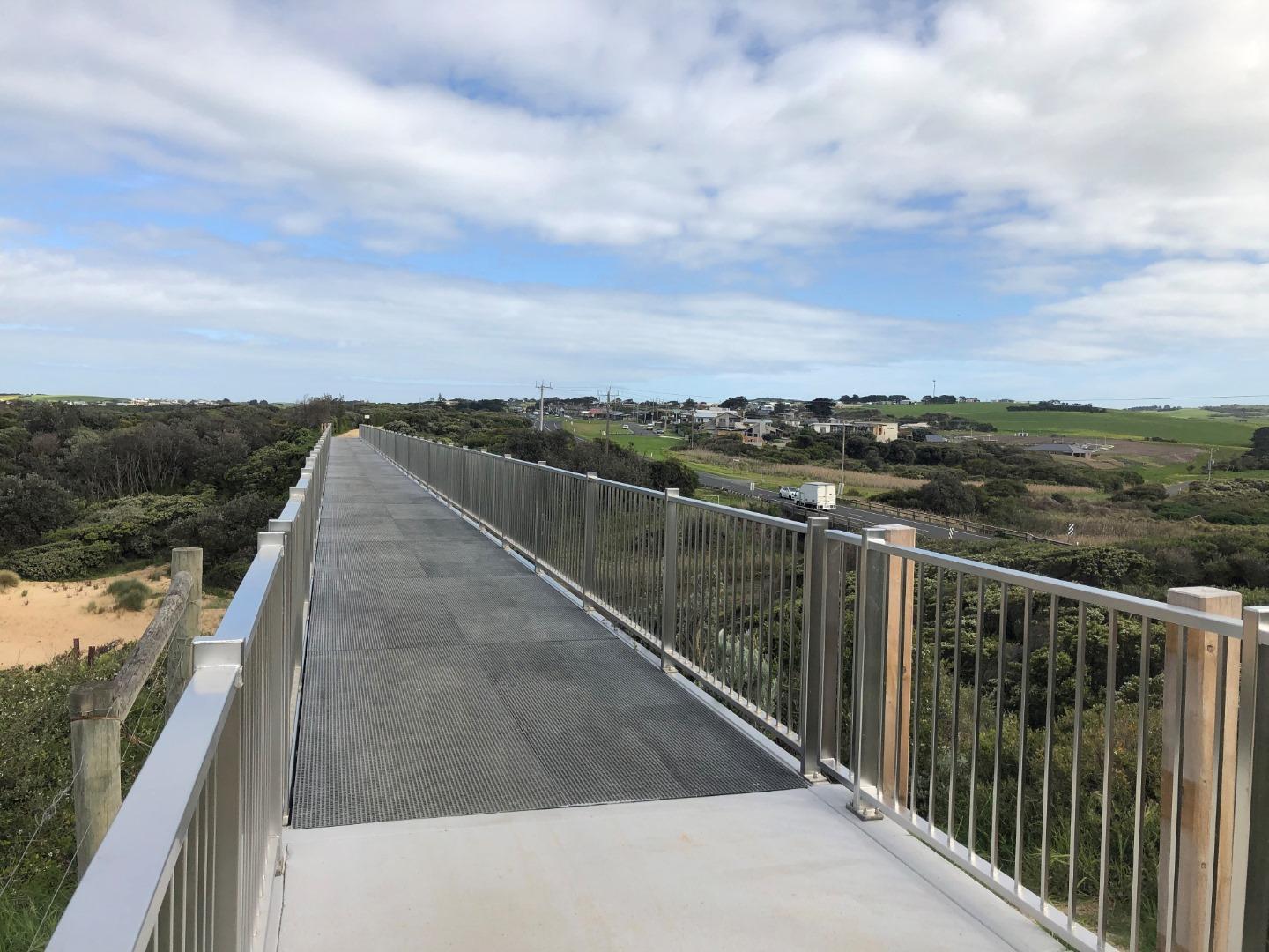
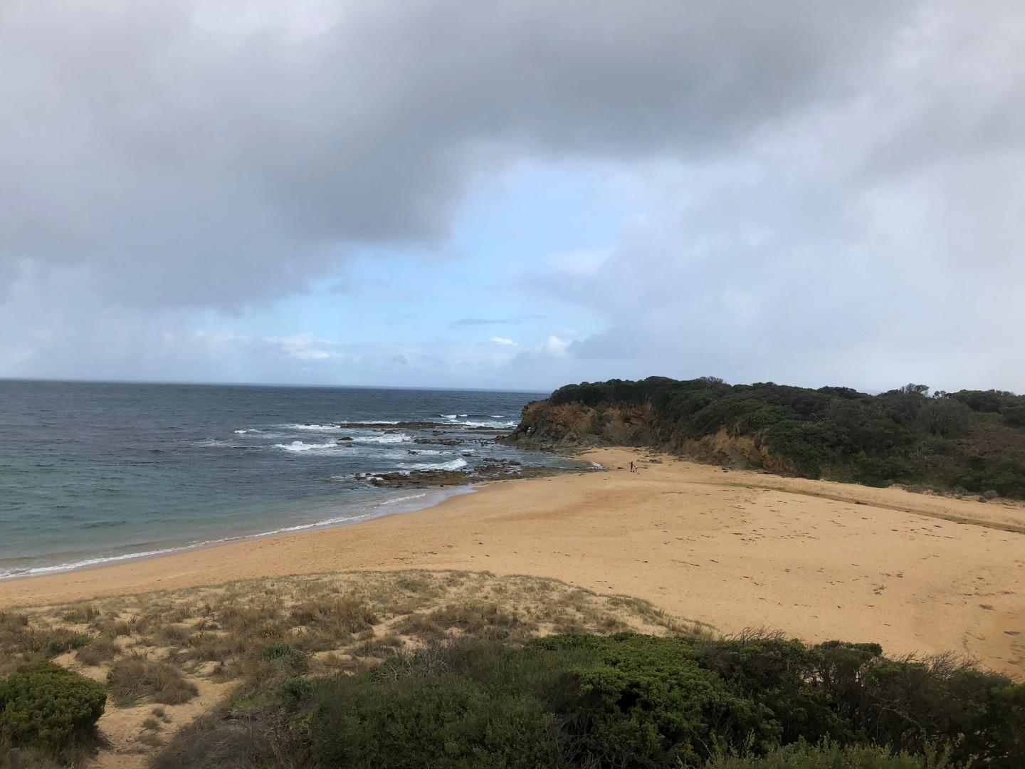
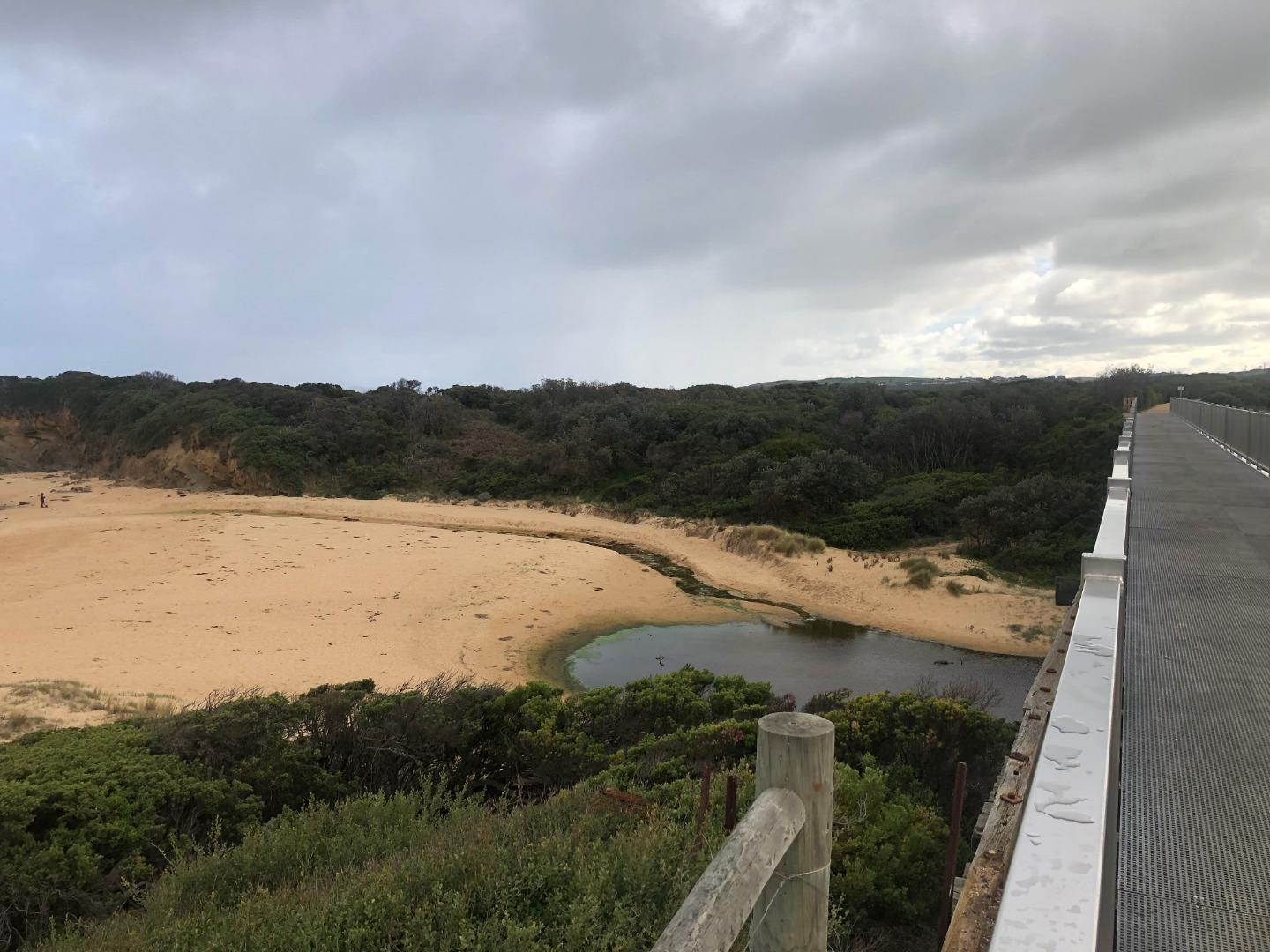
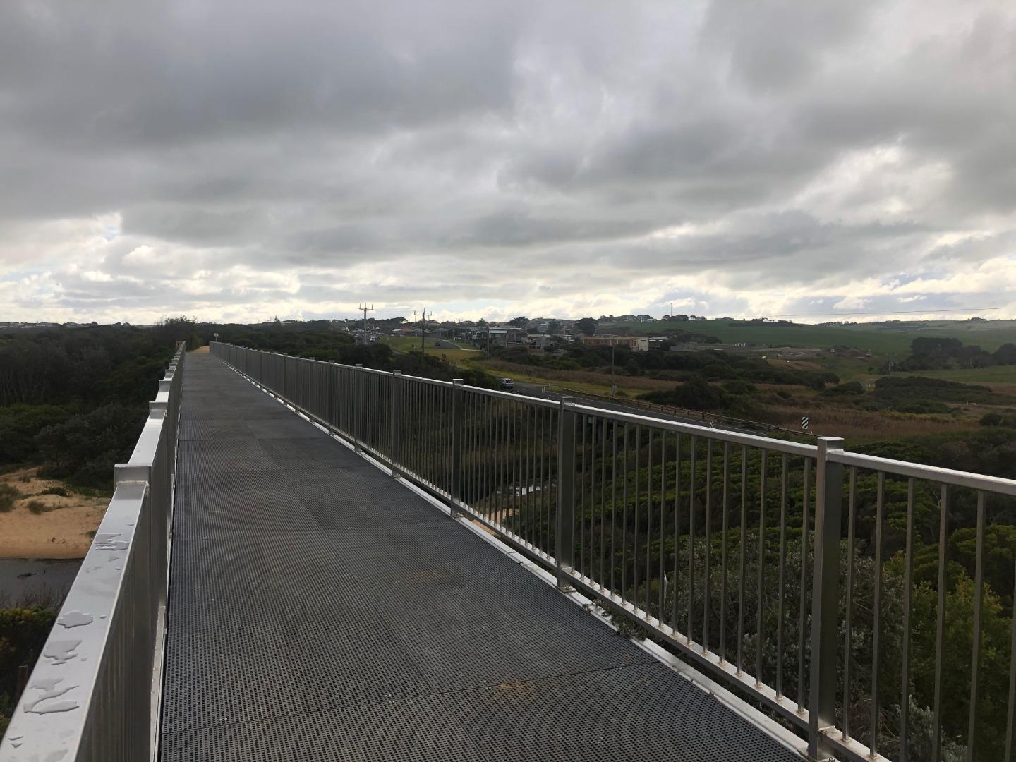
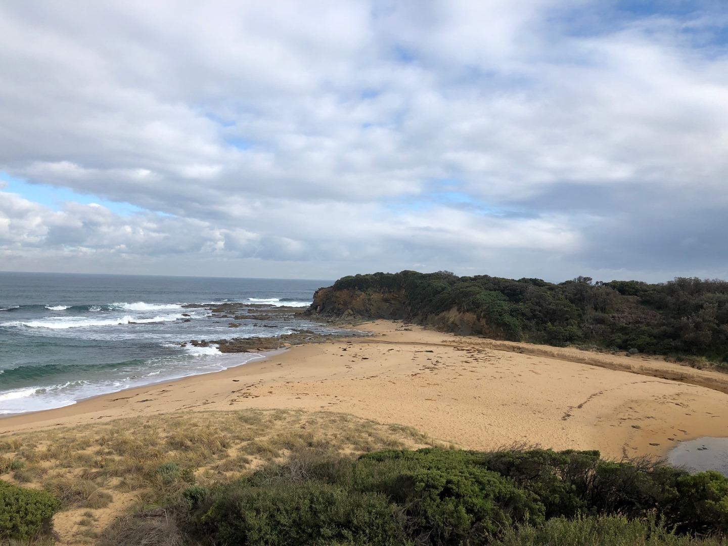
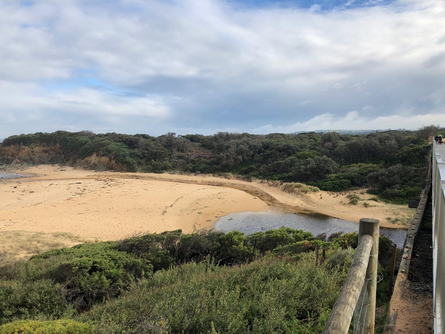
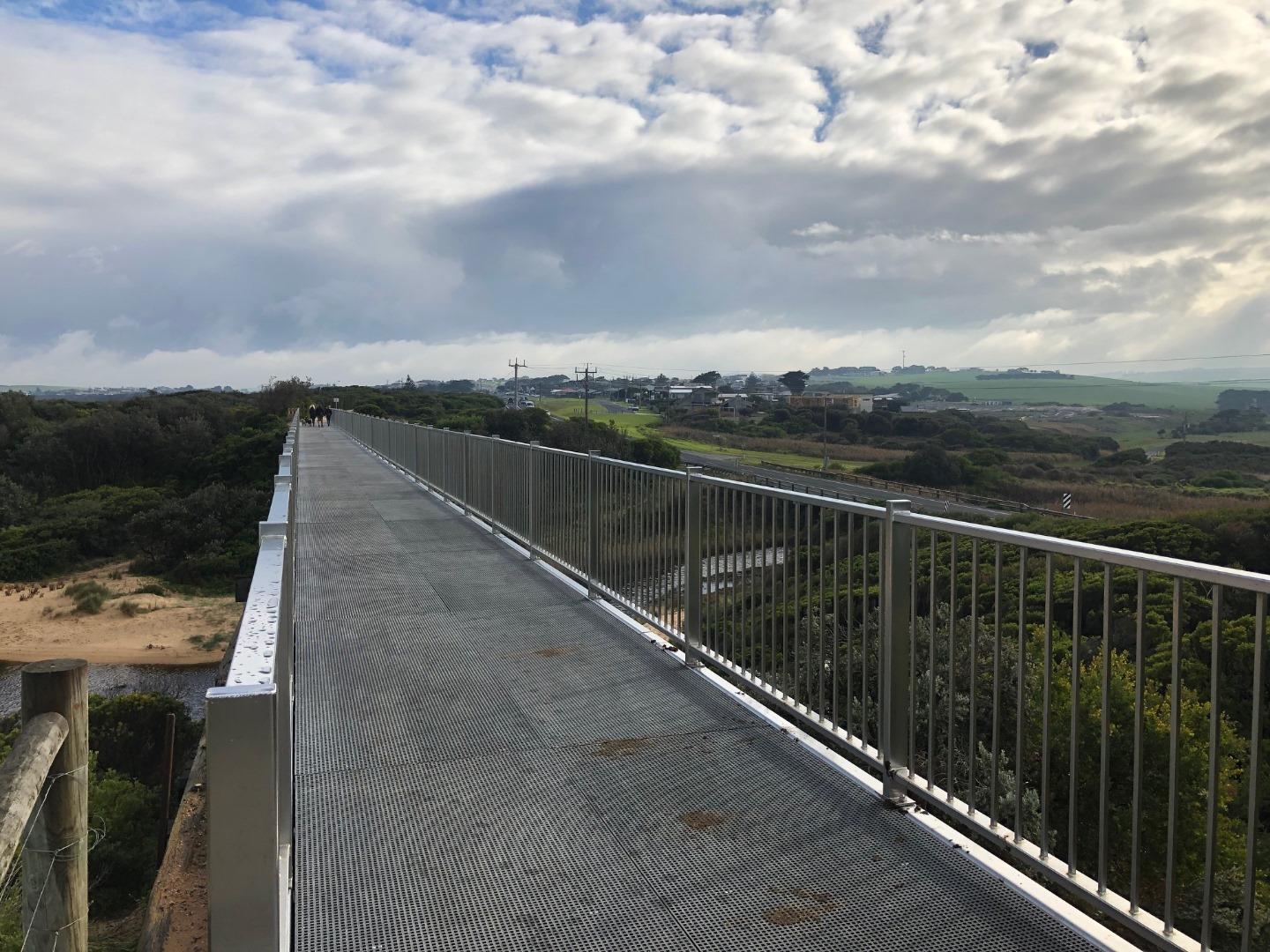
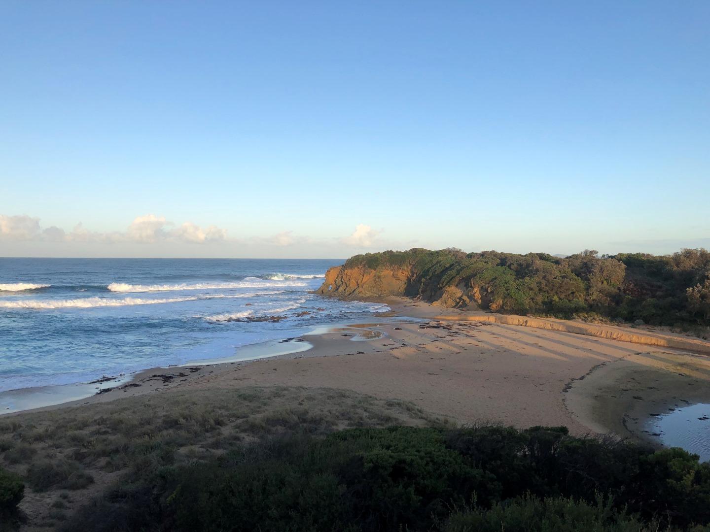
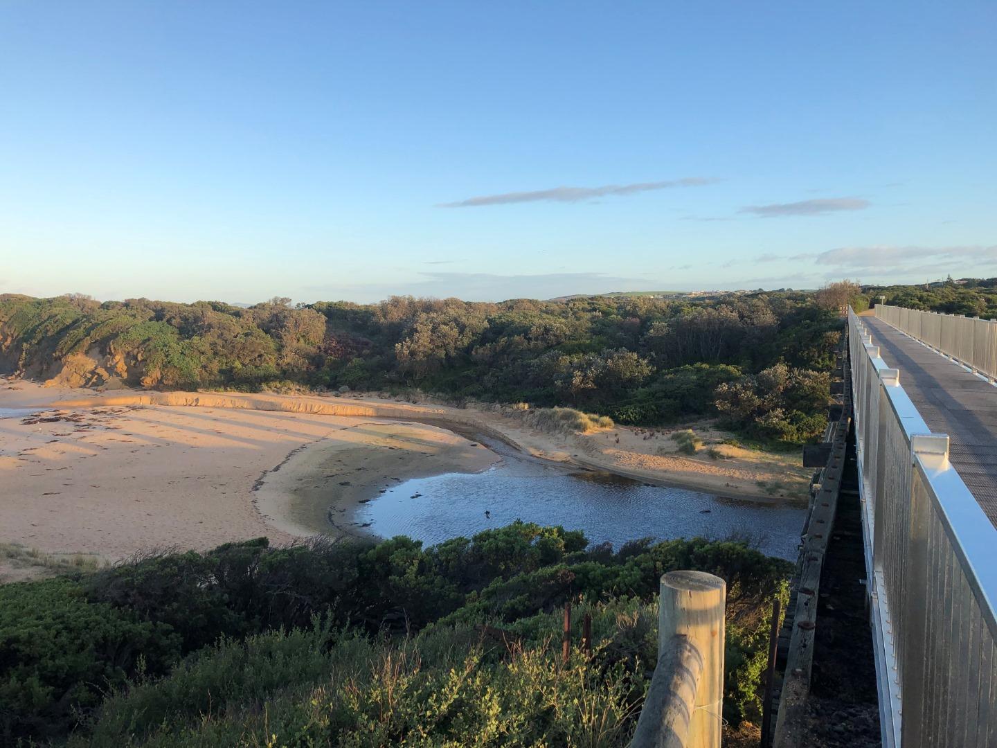
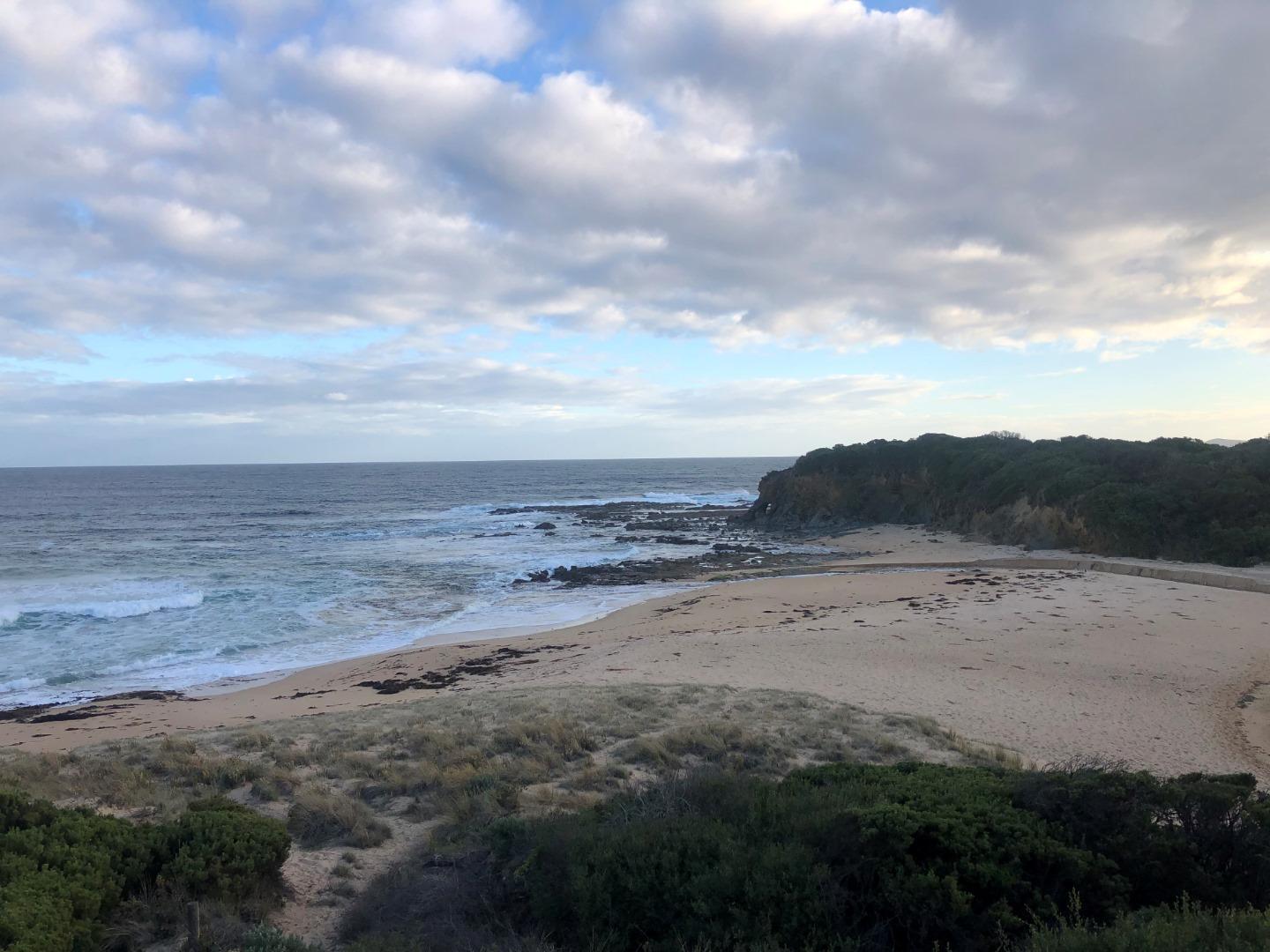
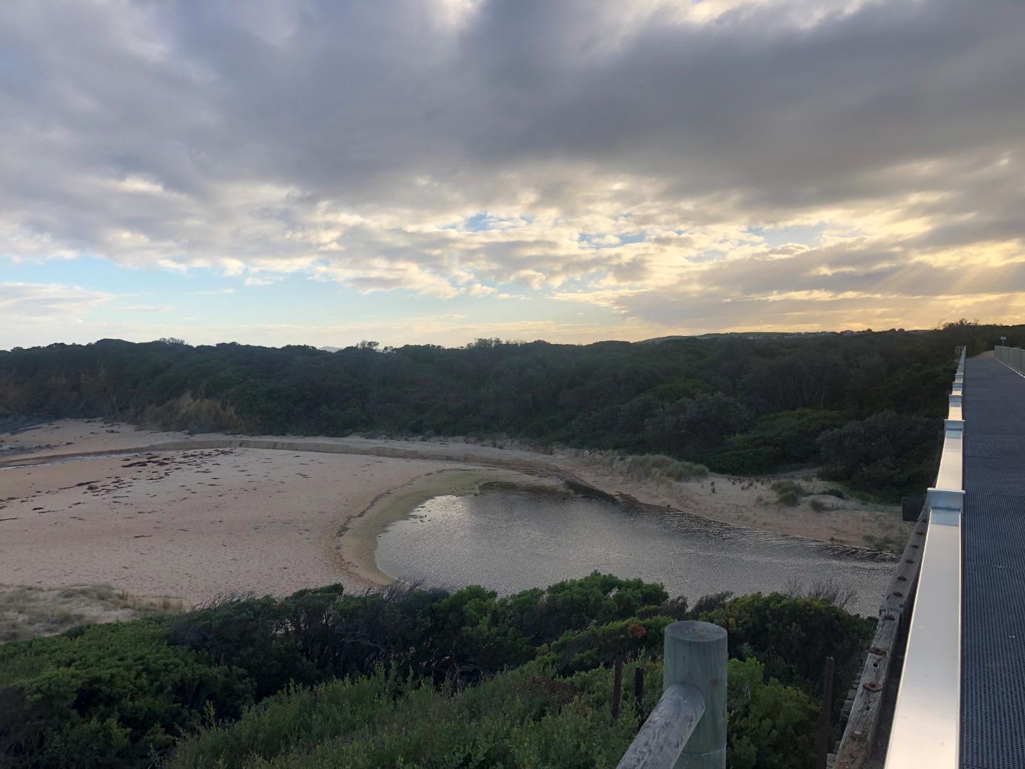
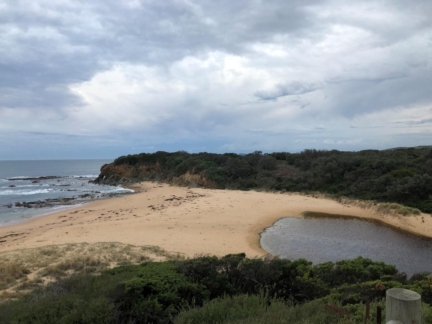
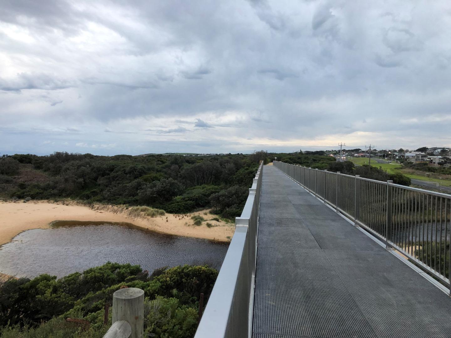
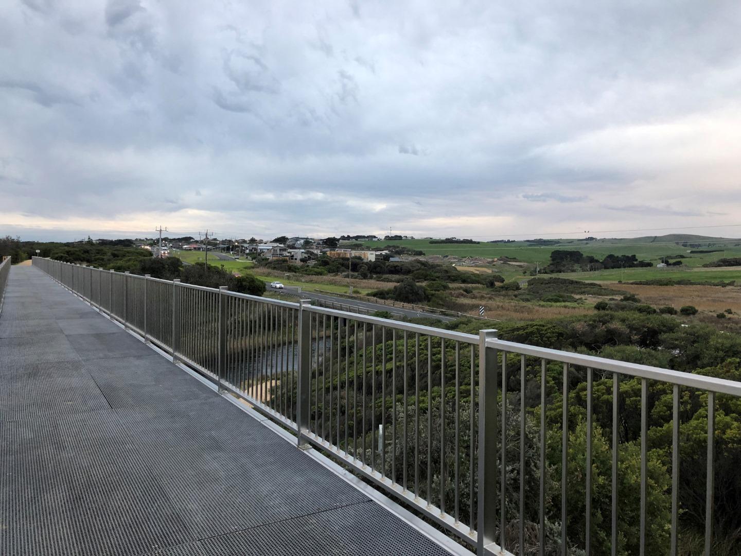
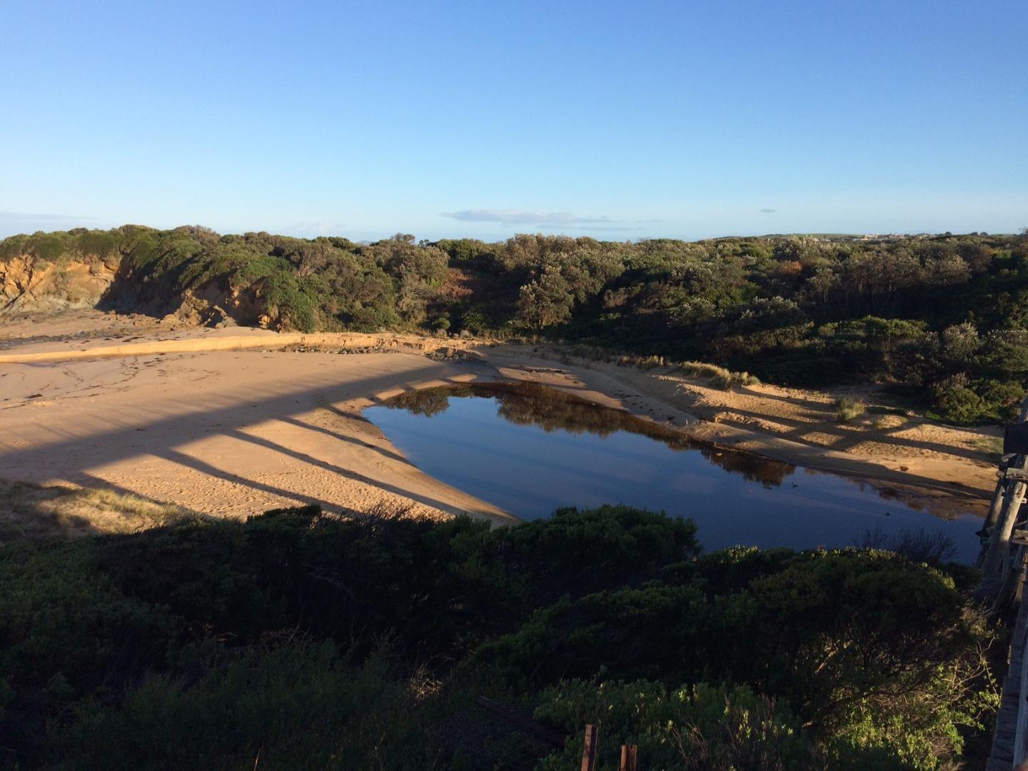
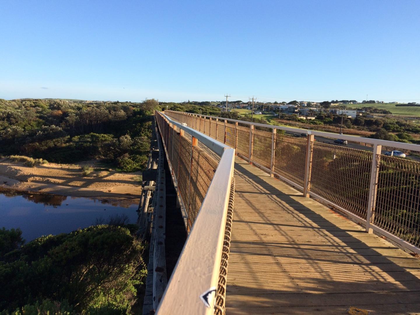
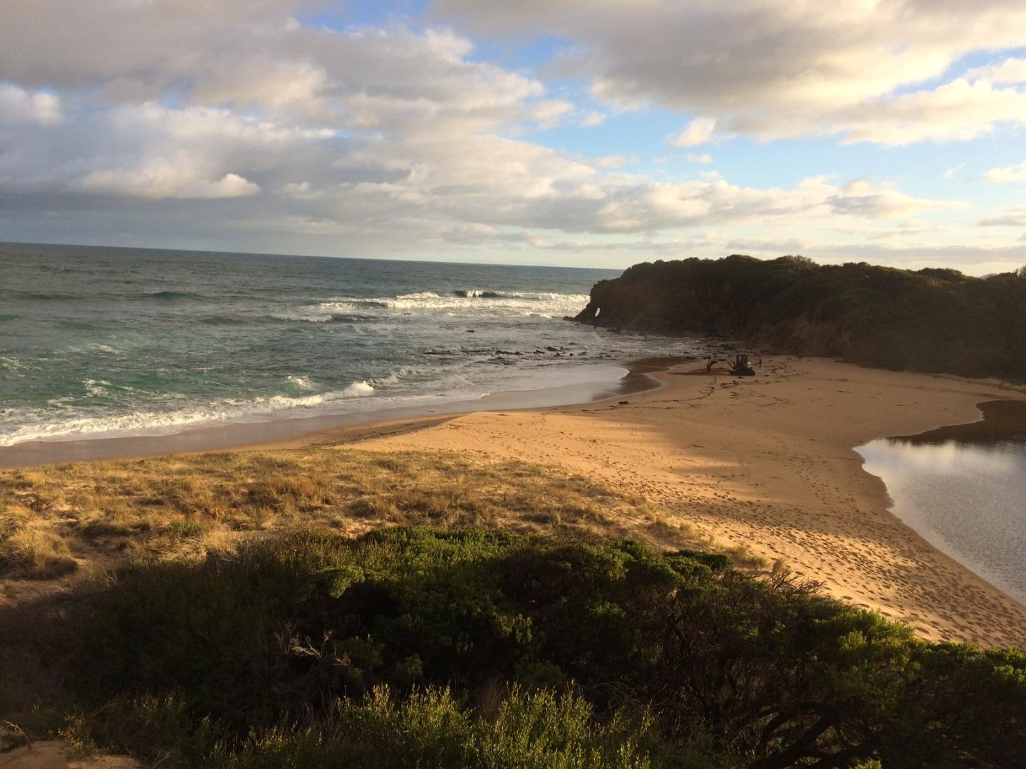
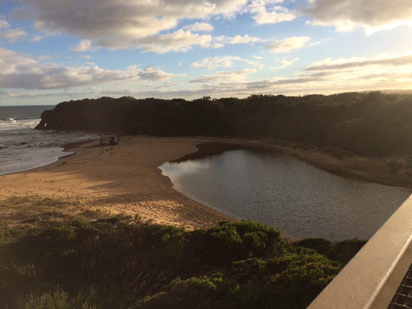
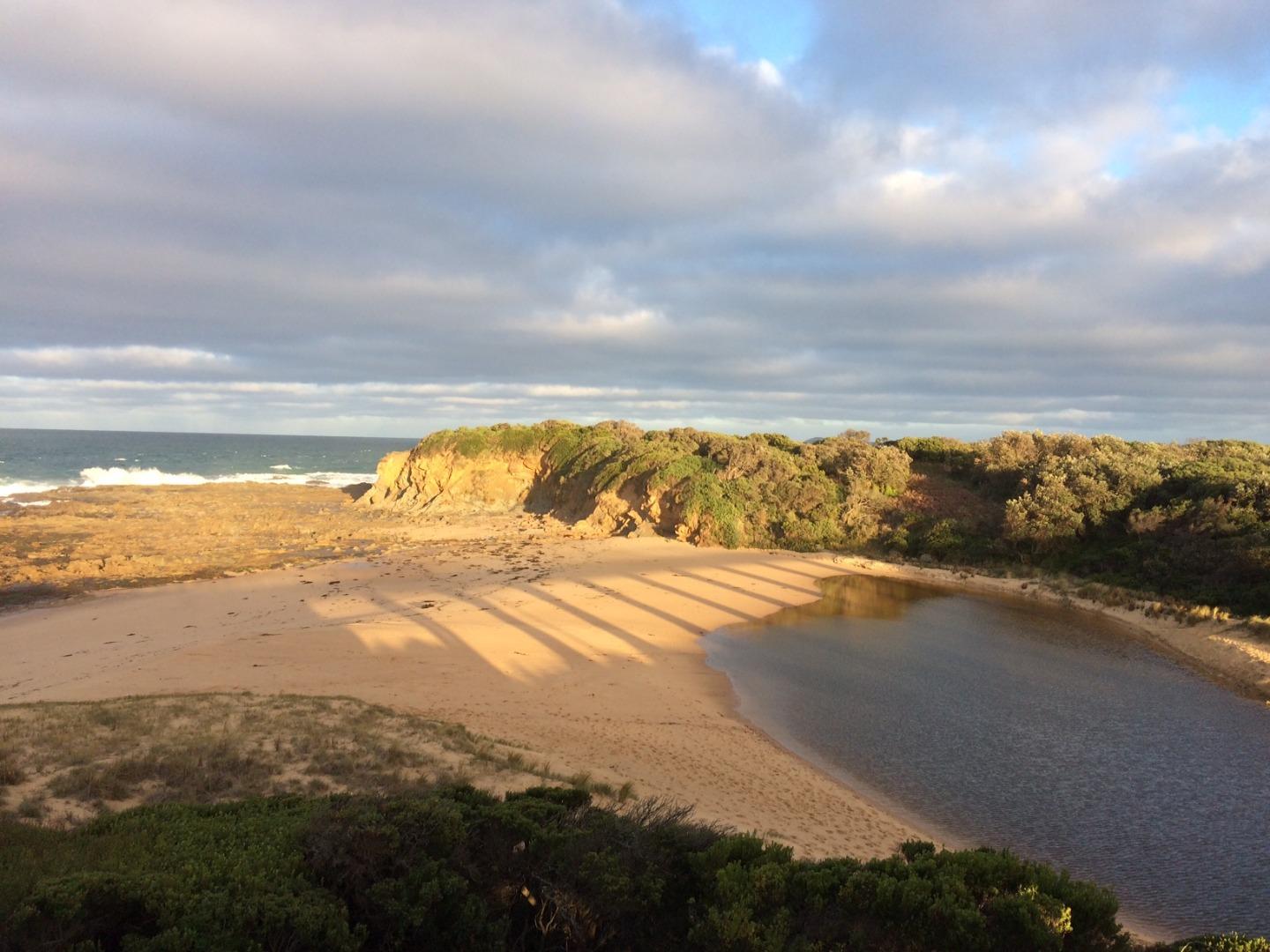
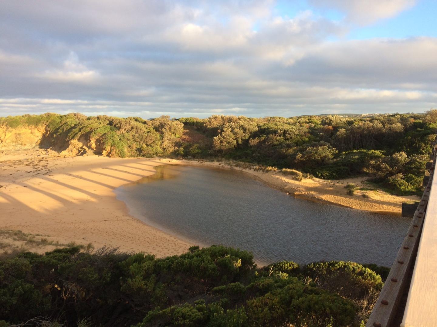
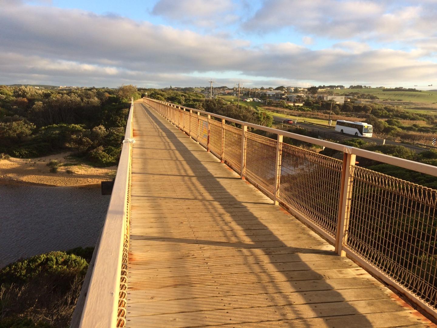
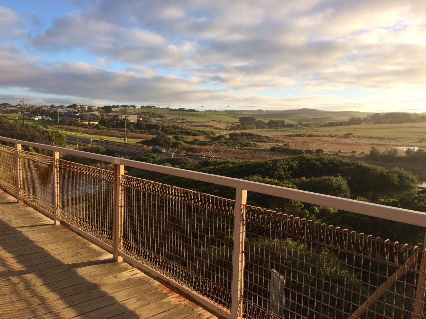
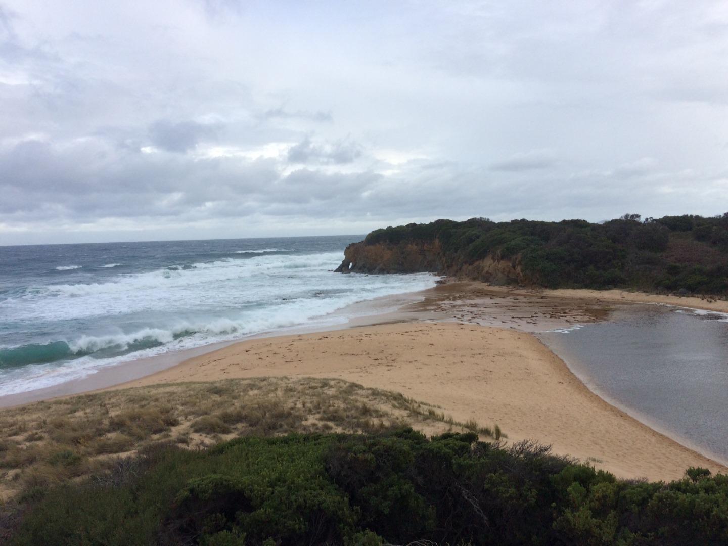
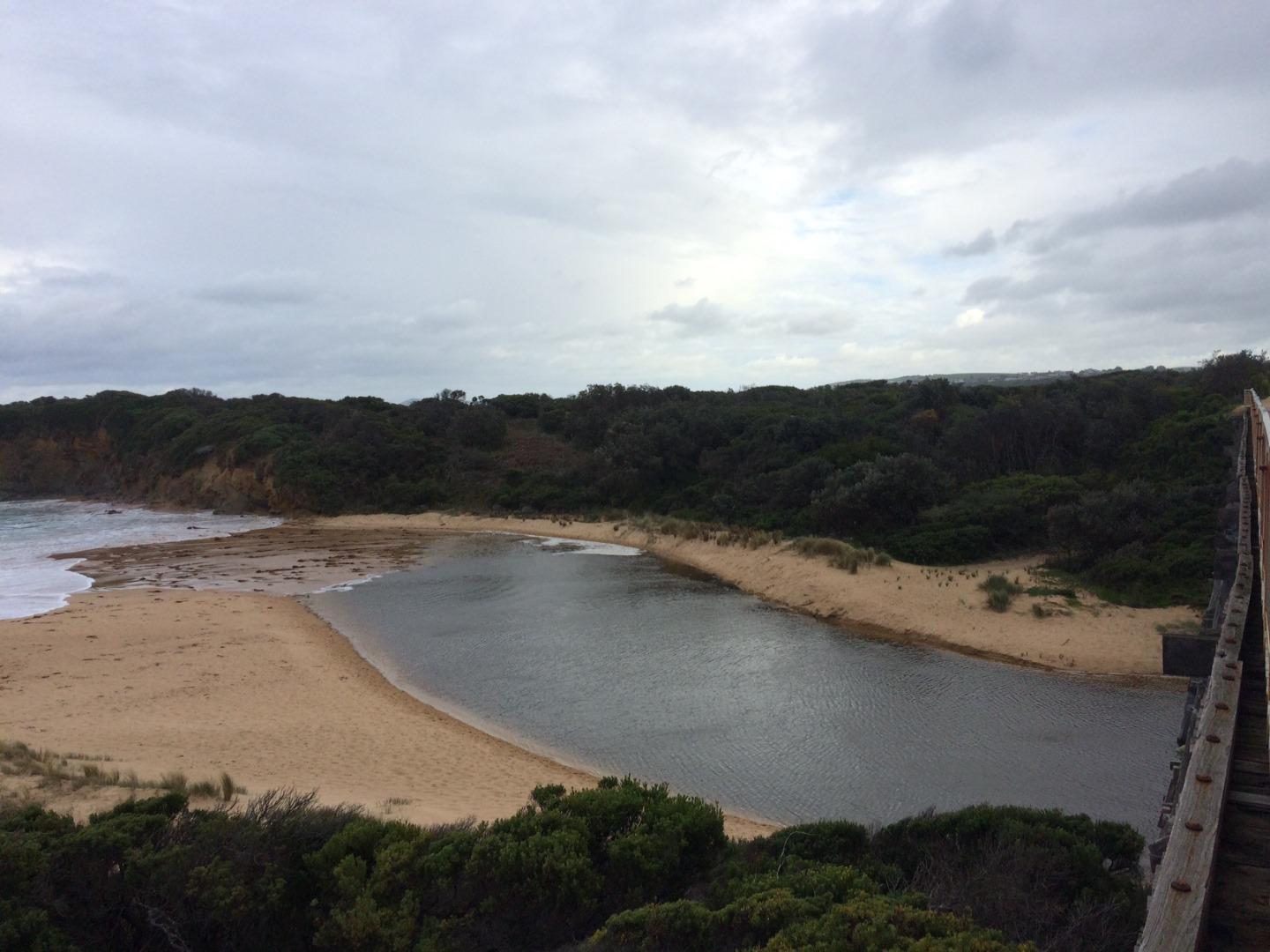
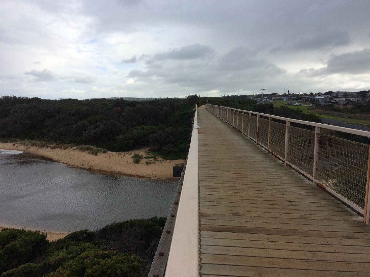
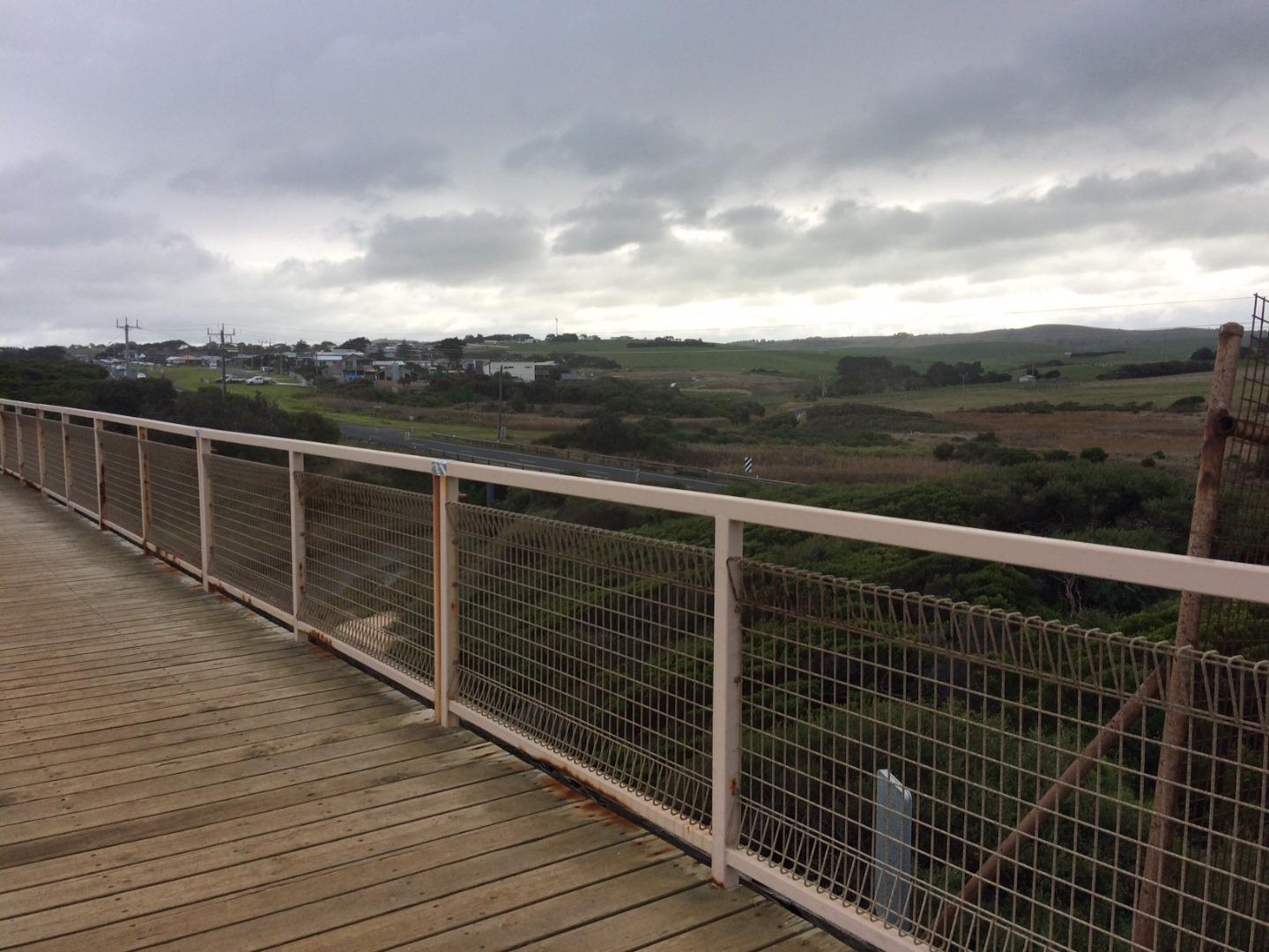
BoMC Bourne Creek Mouth Condition Monitoring Site
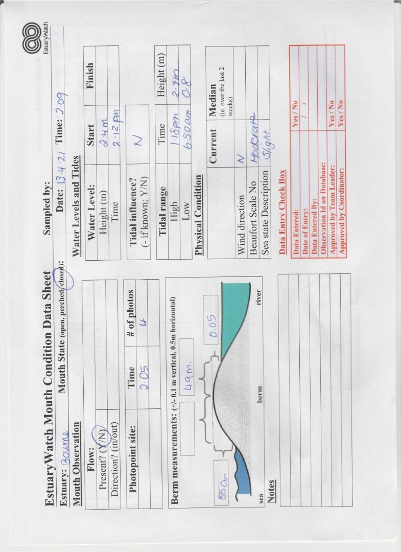
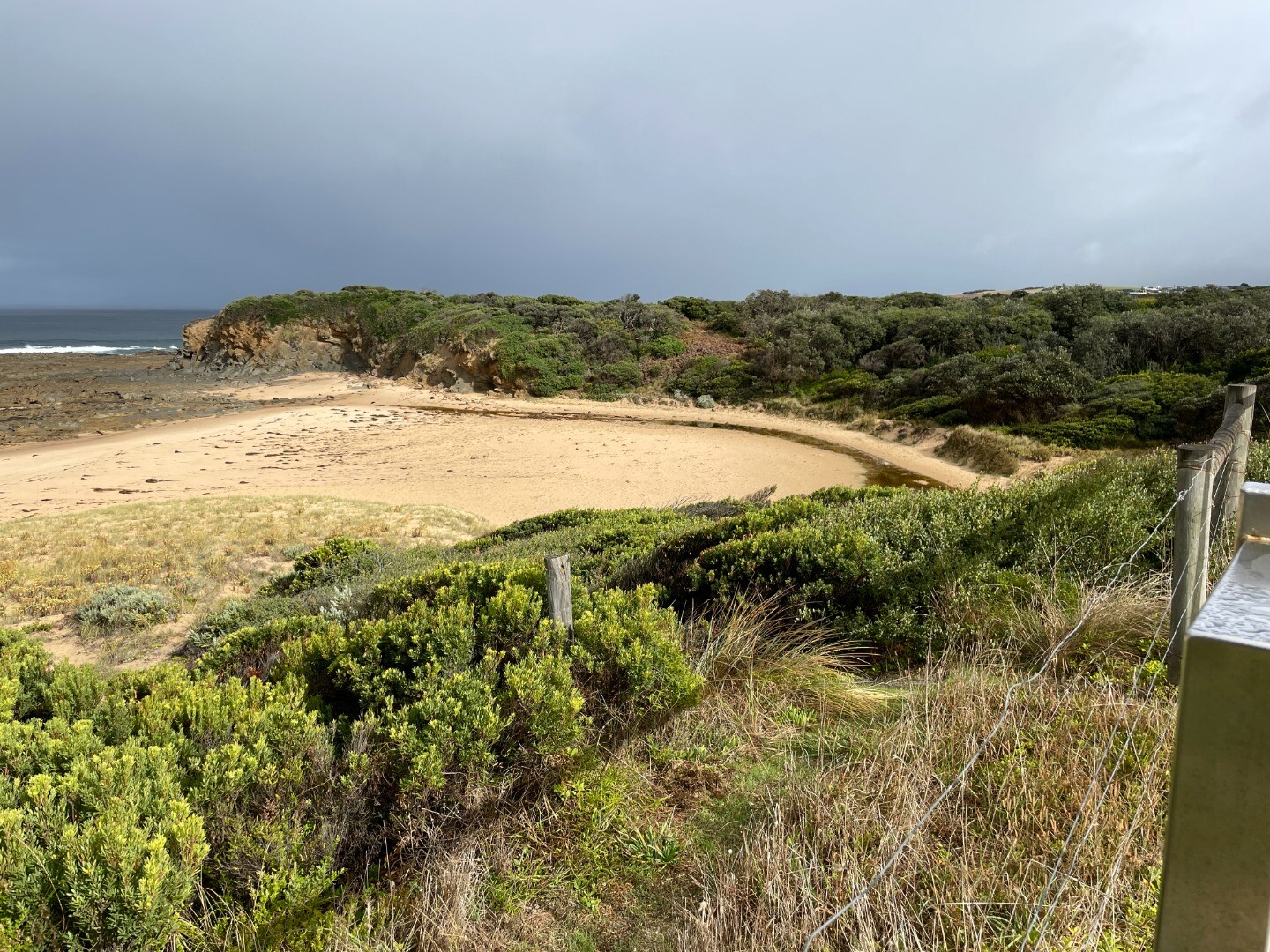
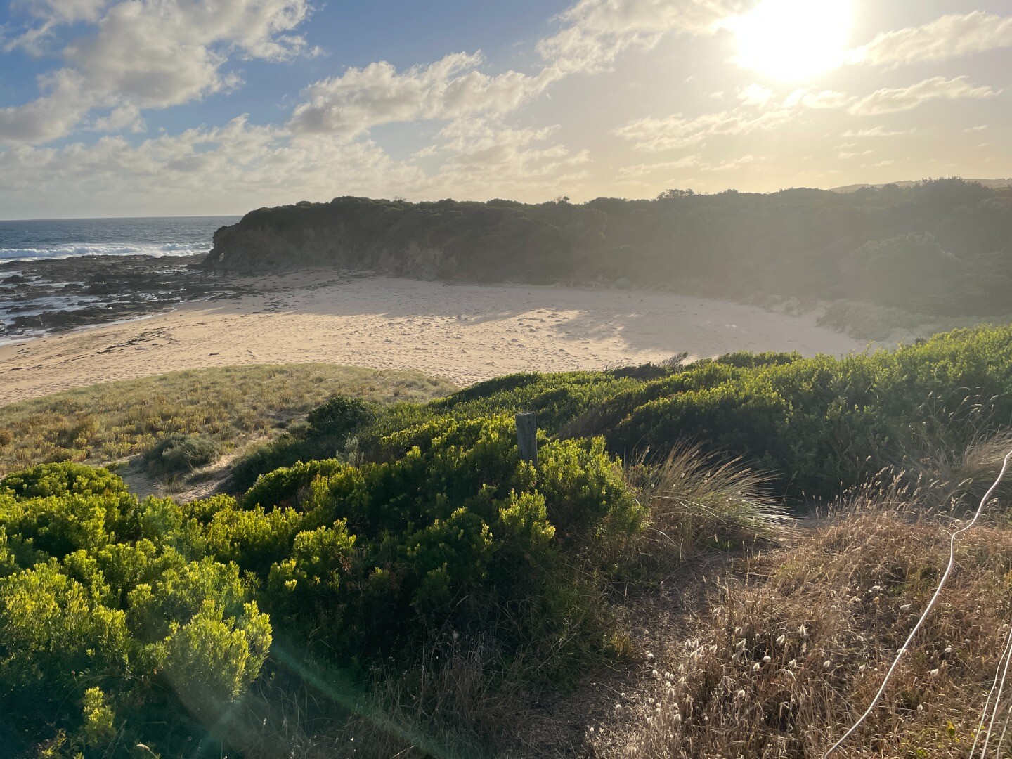
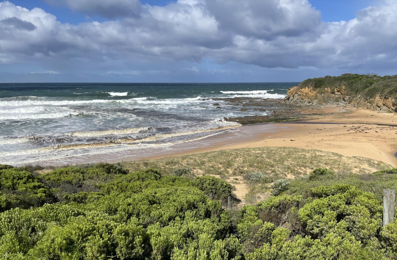
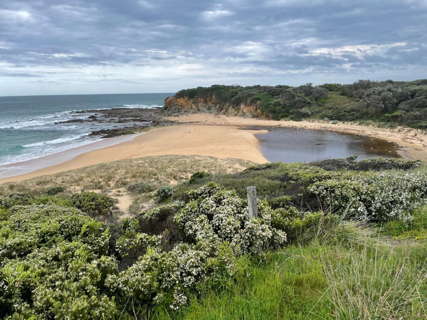
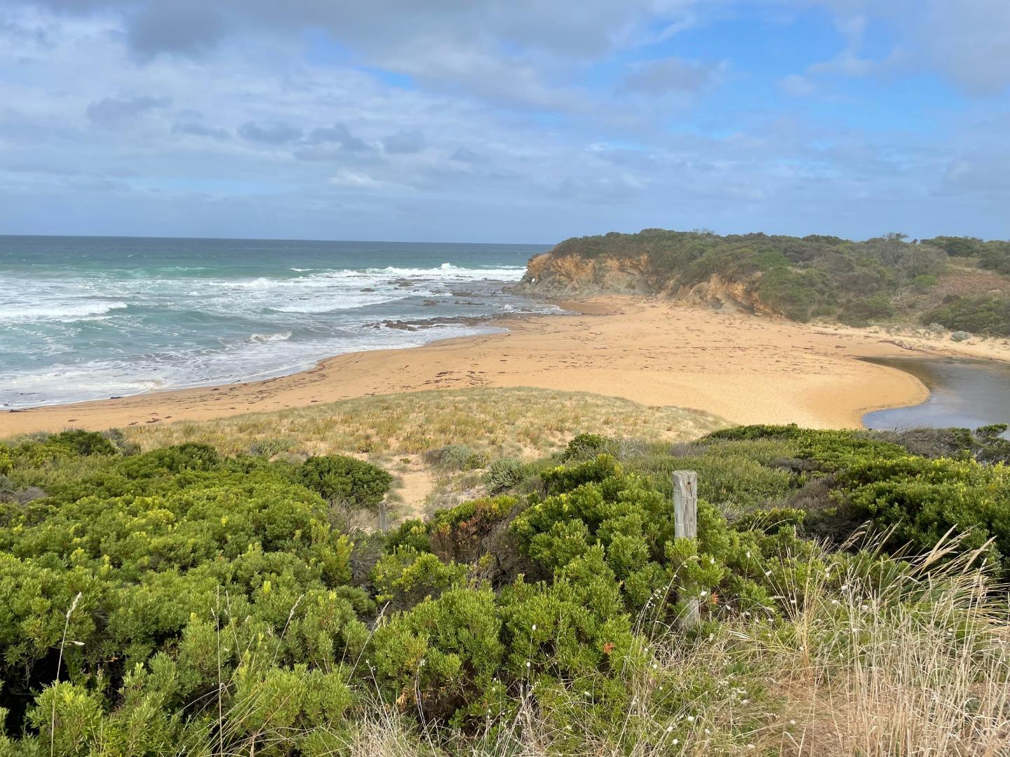
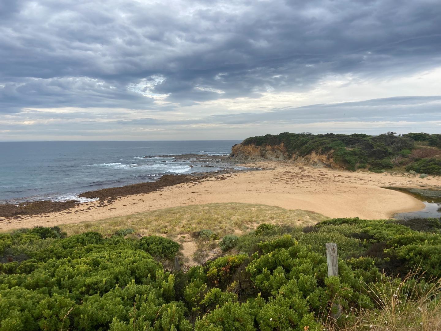
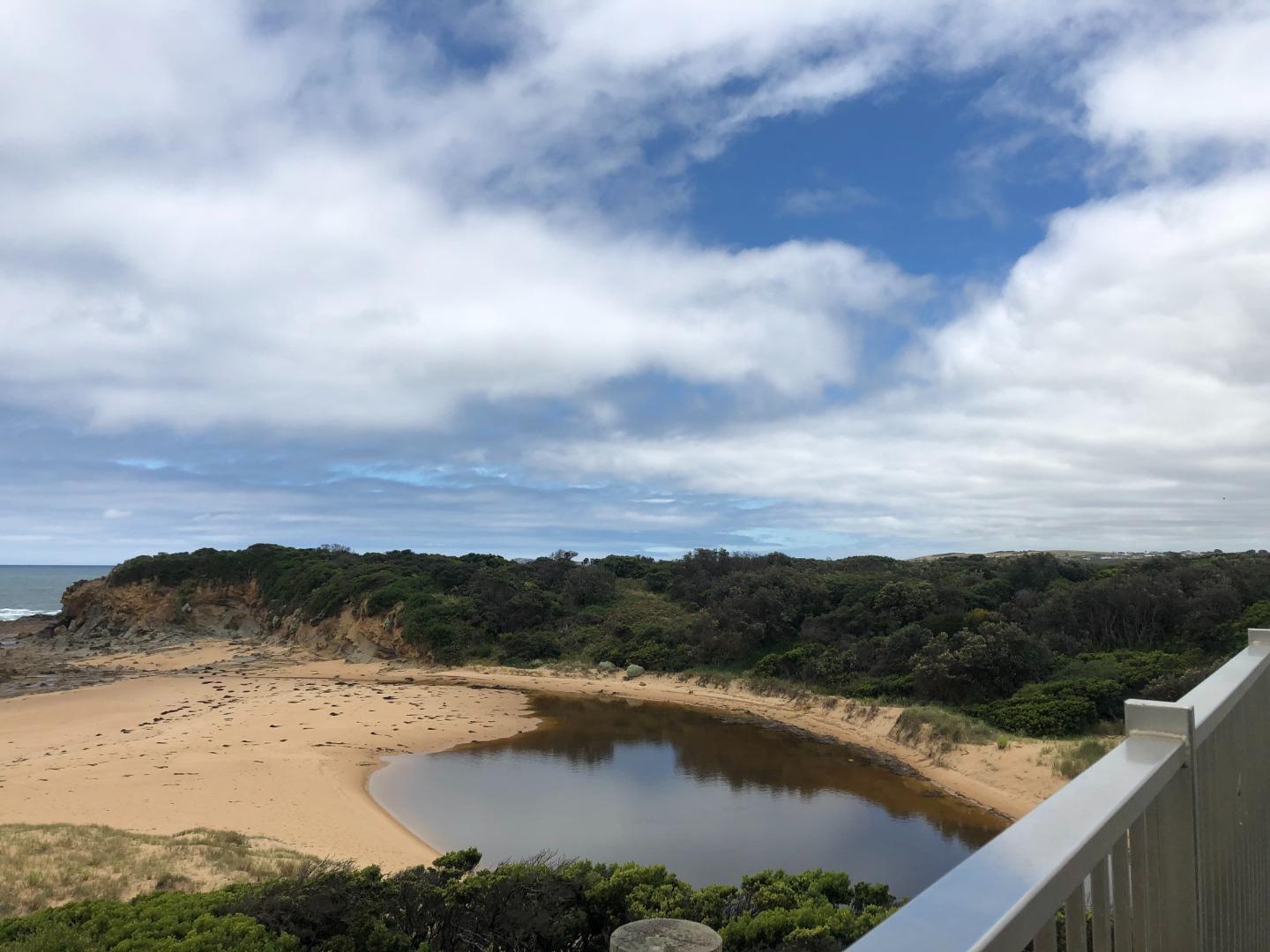
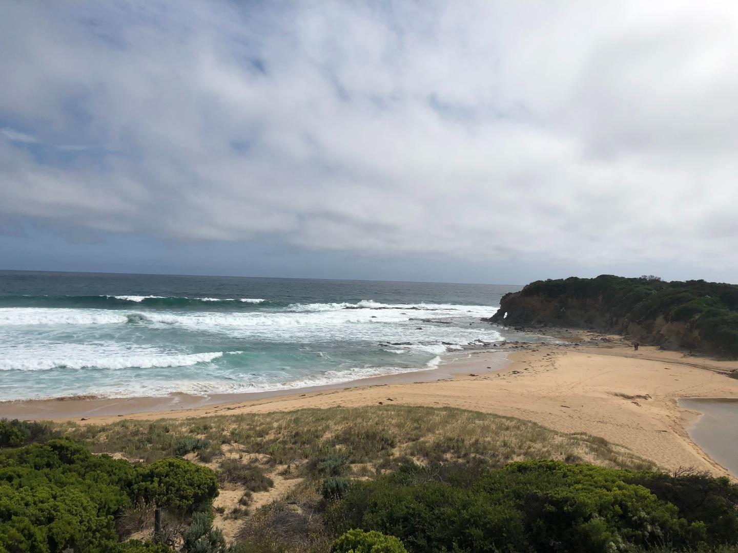
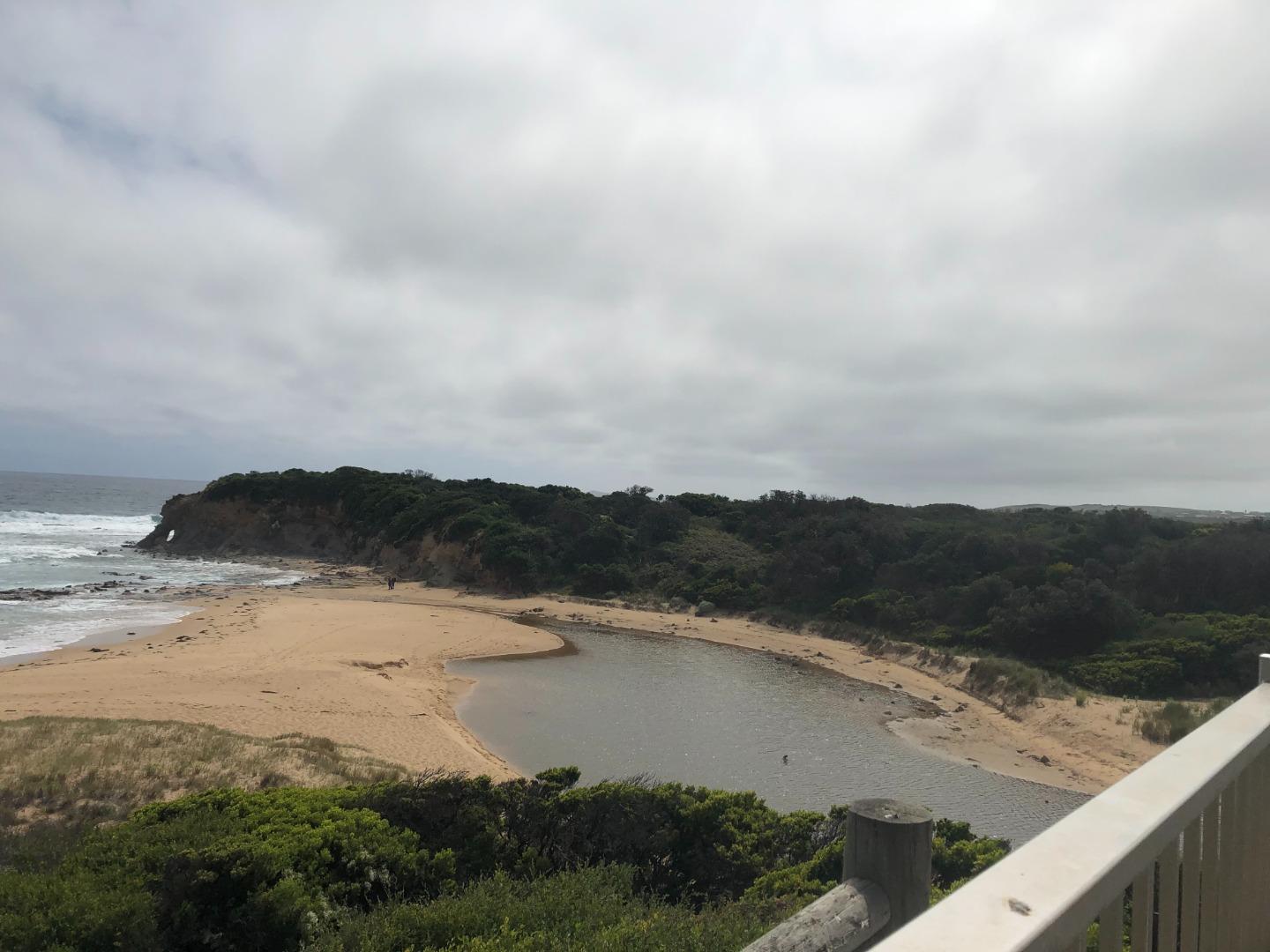
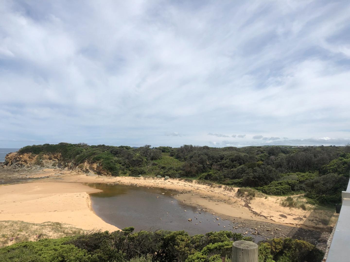
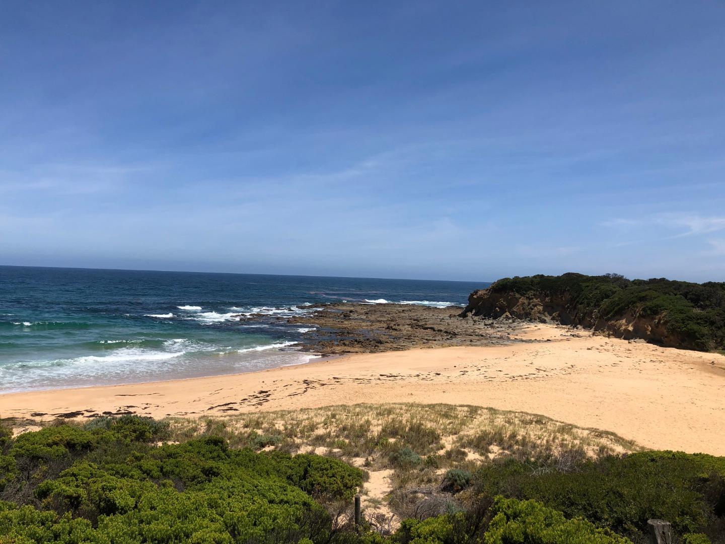
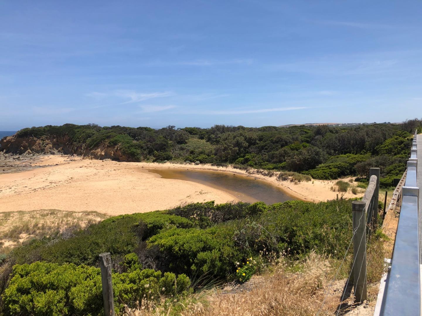
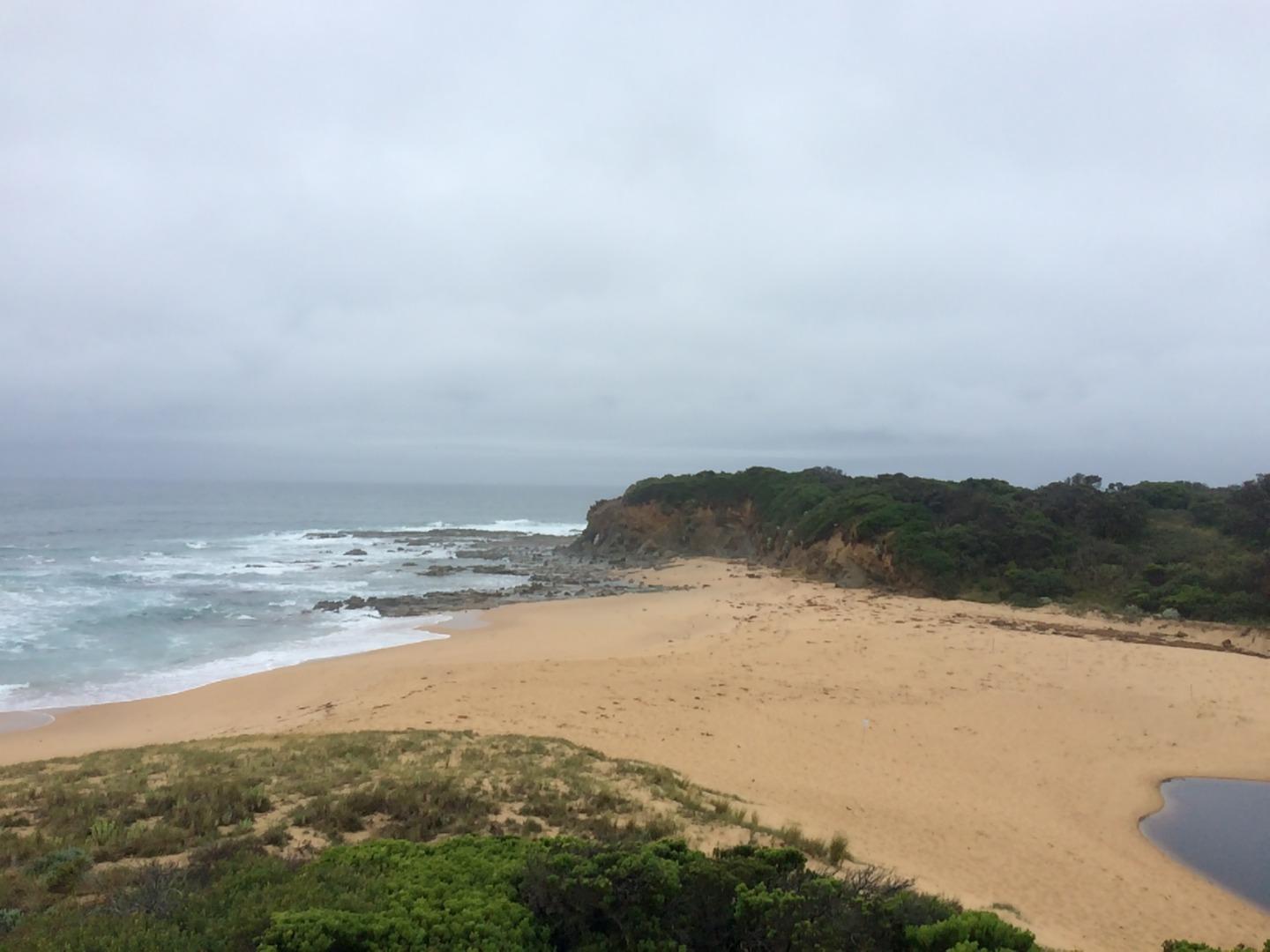
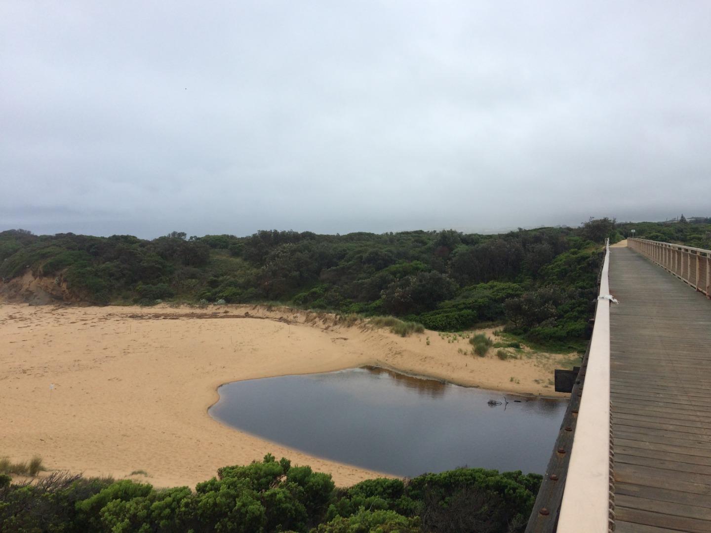
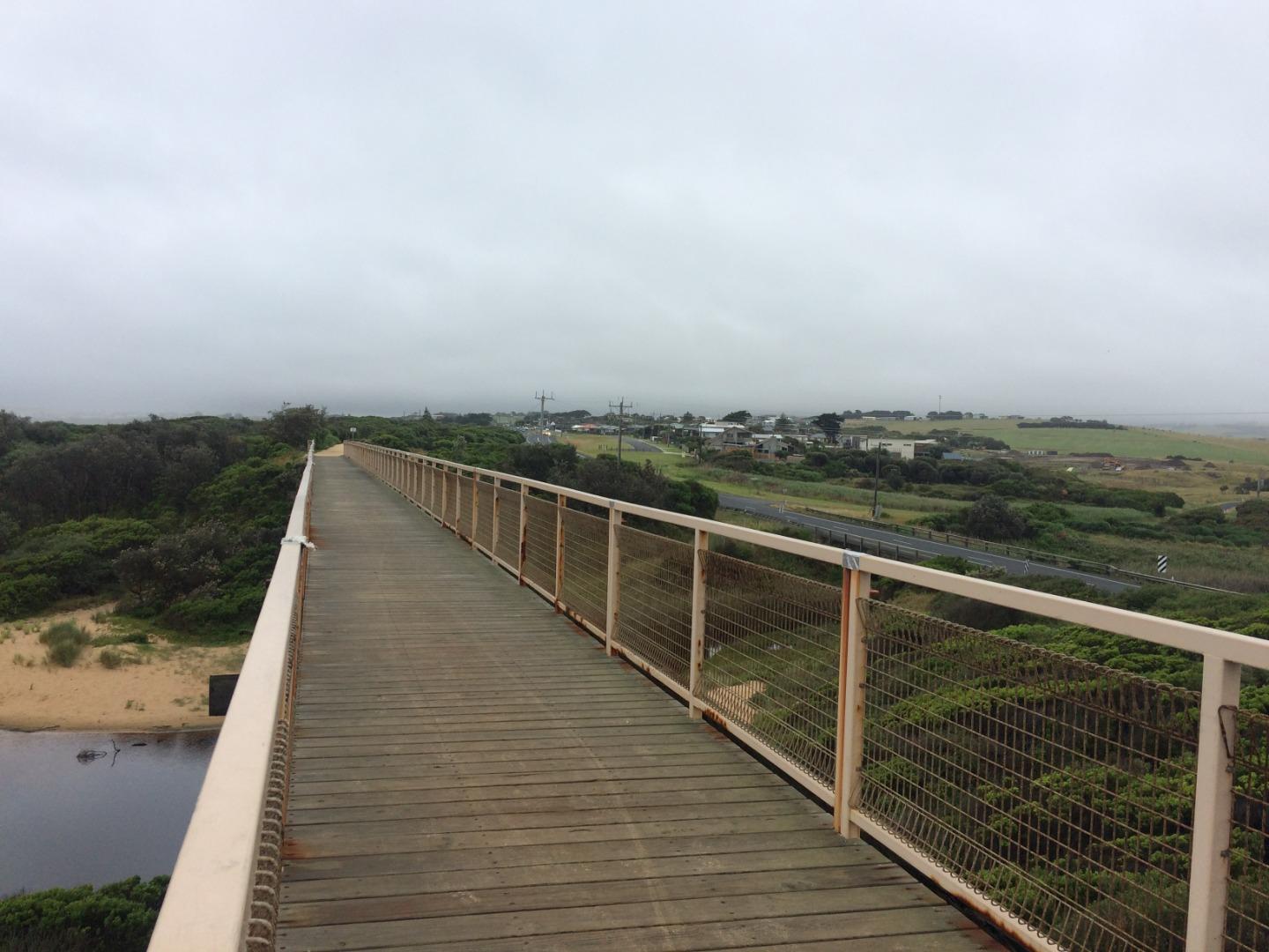
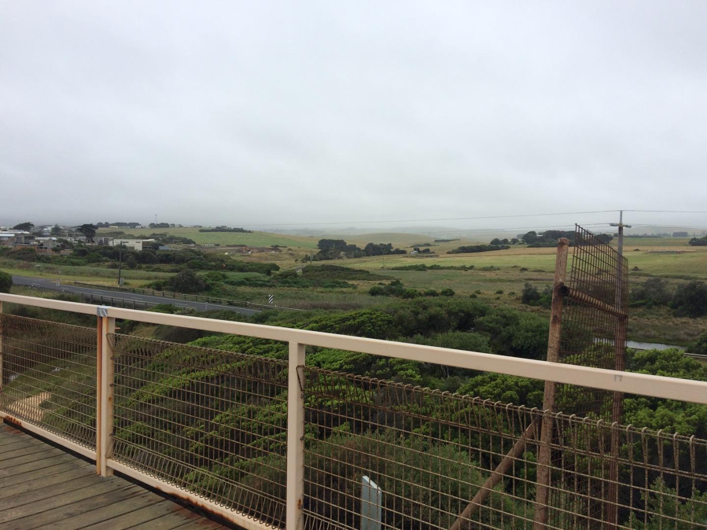
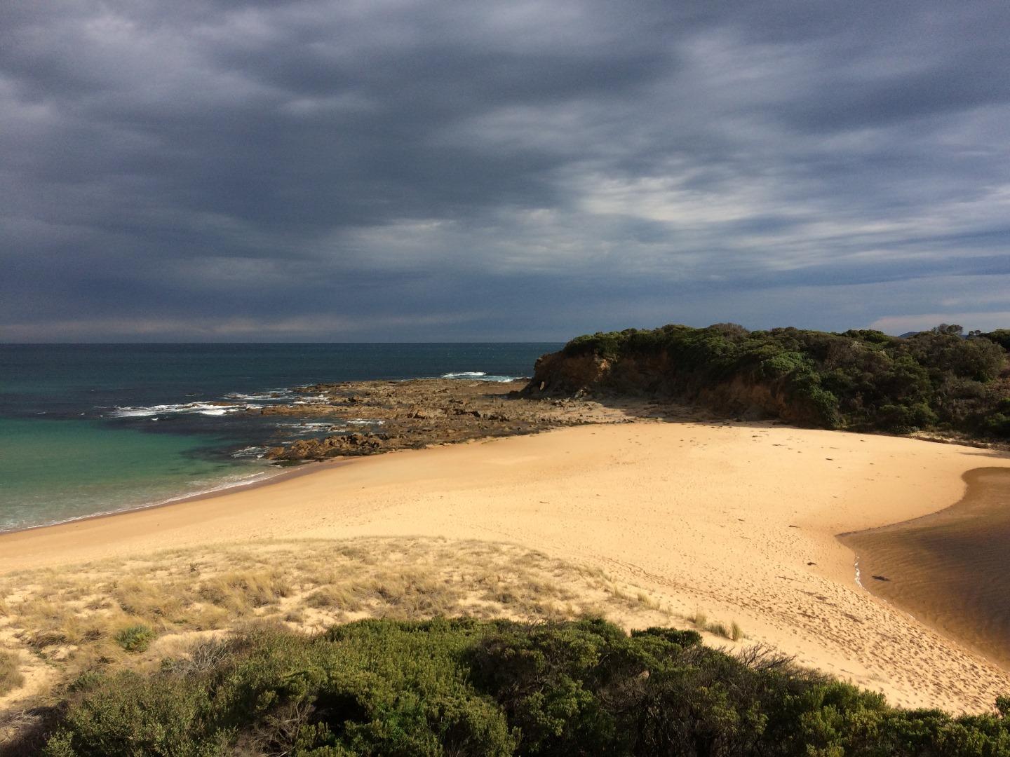
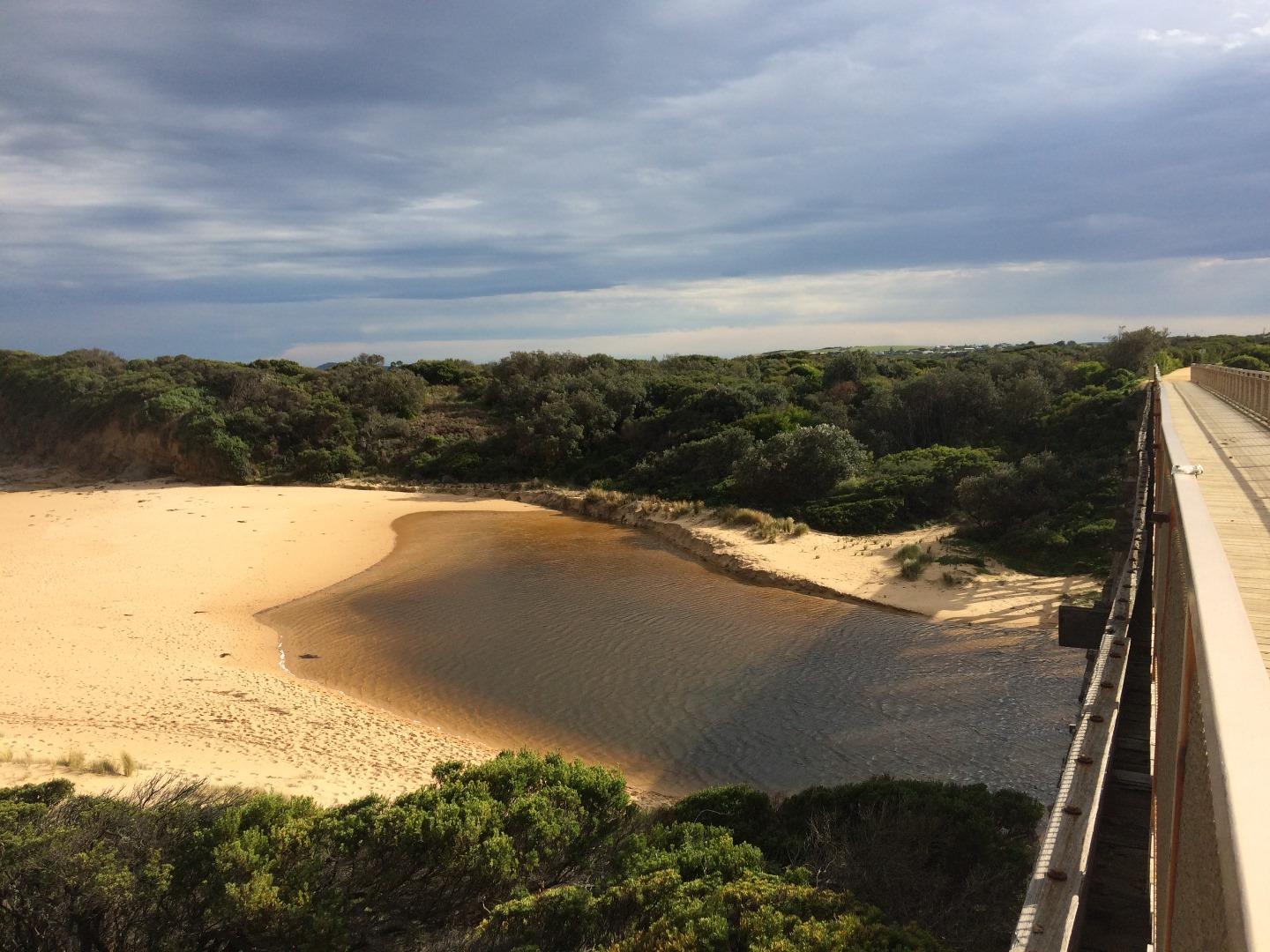
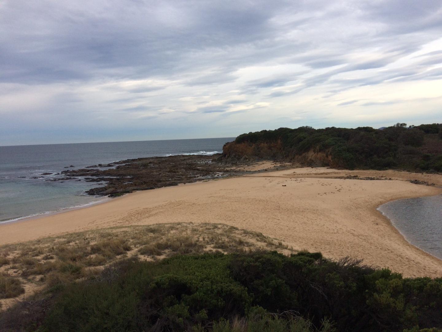
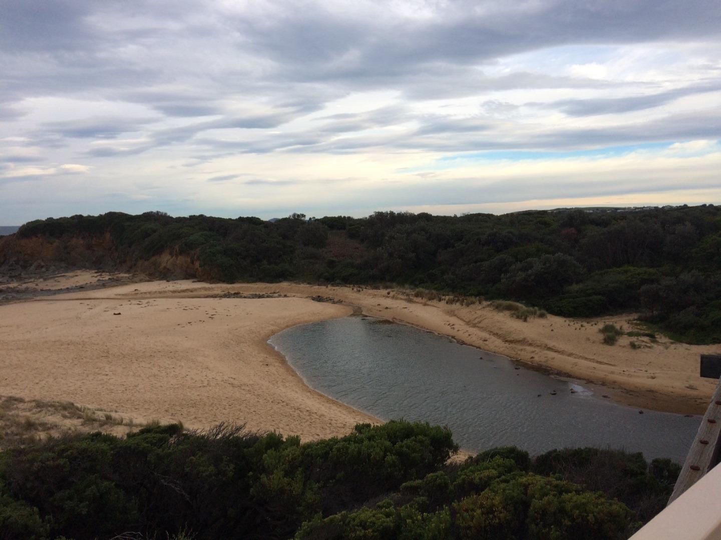
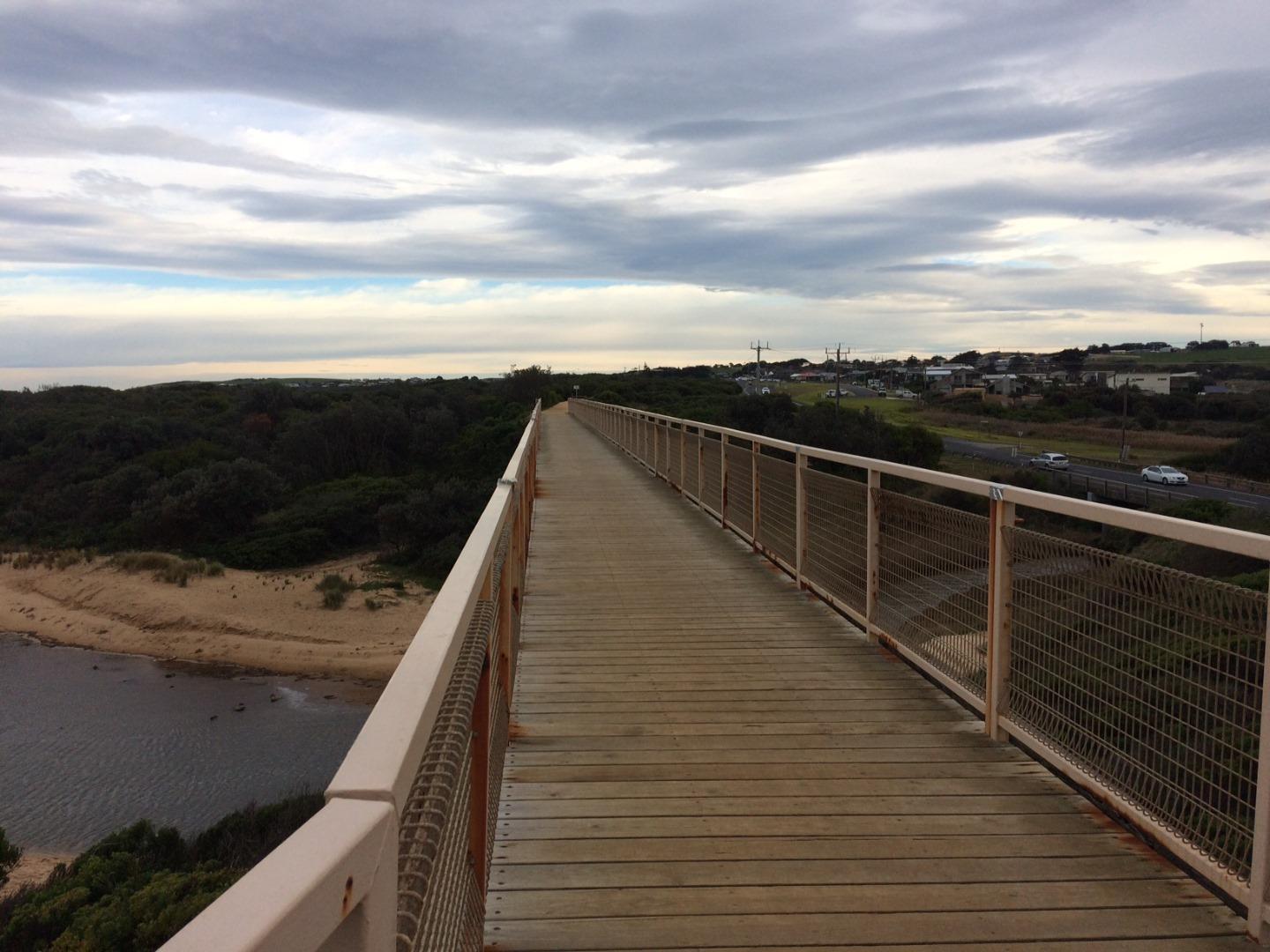
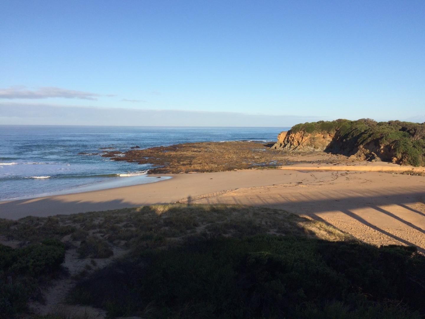
Active Mouth Condition 27-04-2017 - 30-04-2024Bourne Creek
| ID | Date | Status | Details | |
|---|---|---|---|---|
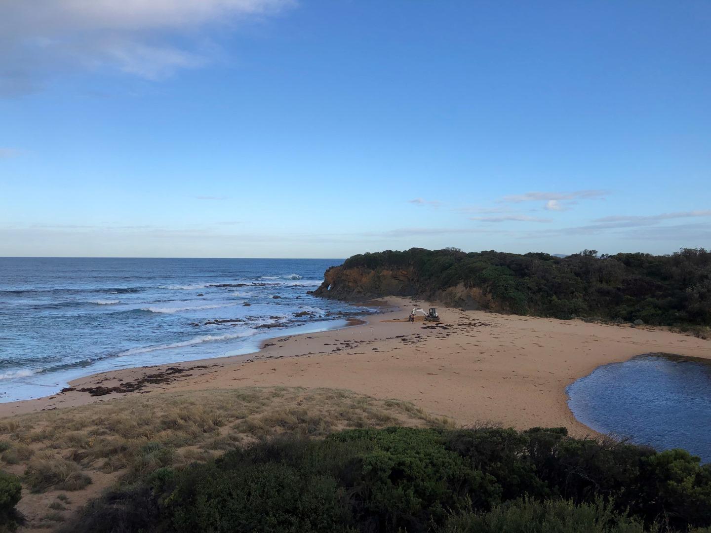
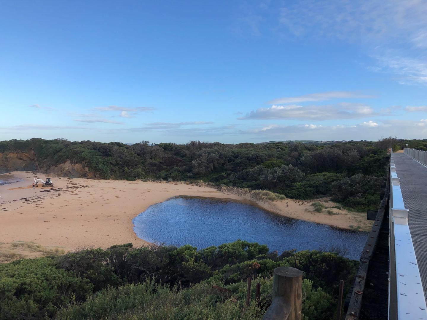
| #16151 | 30 Apr 2024 | Approved |
Notes:
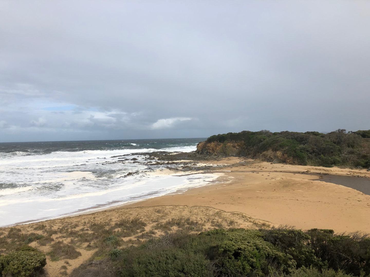
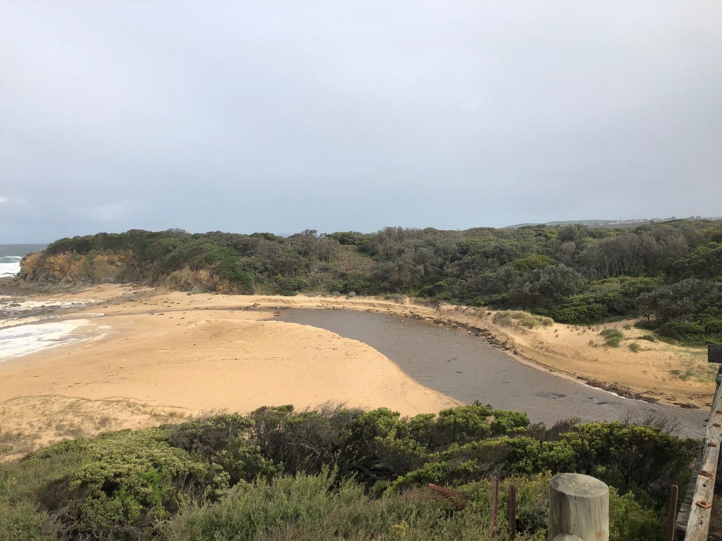
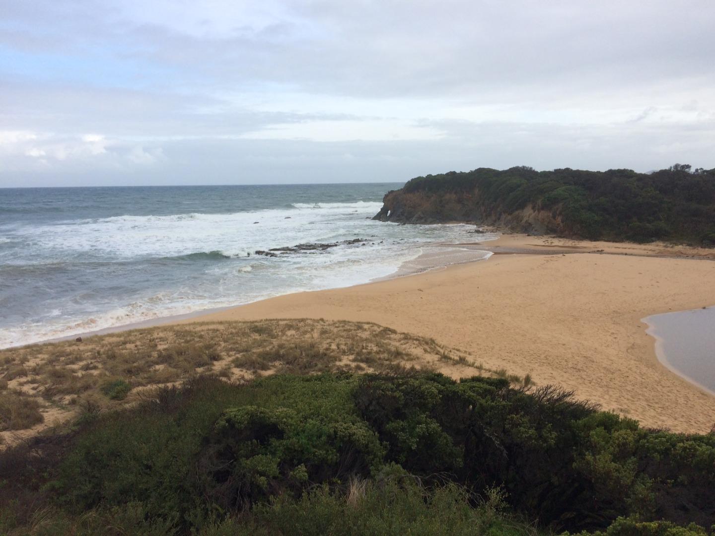
Only just closed but entrance looks to be engaged at high tide. |
|
| #16113 | 12 Apr 2024 | Approved |
Notes:
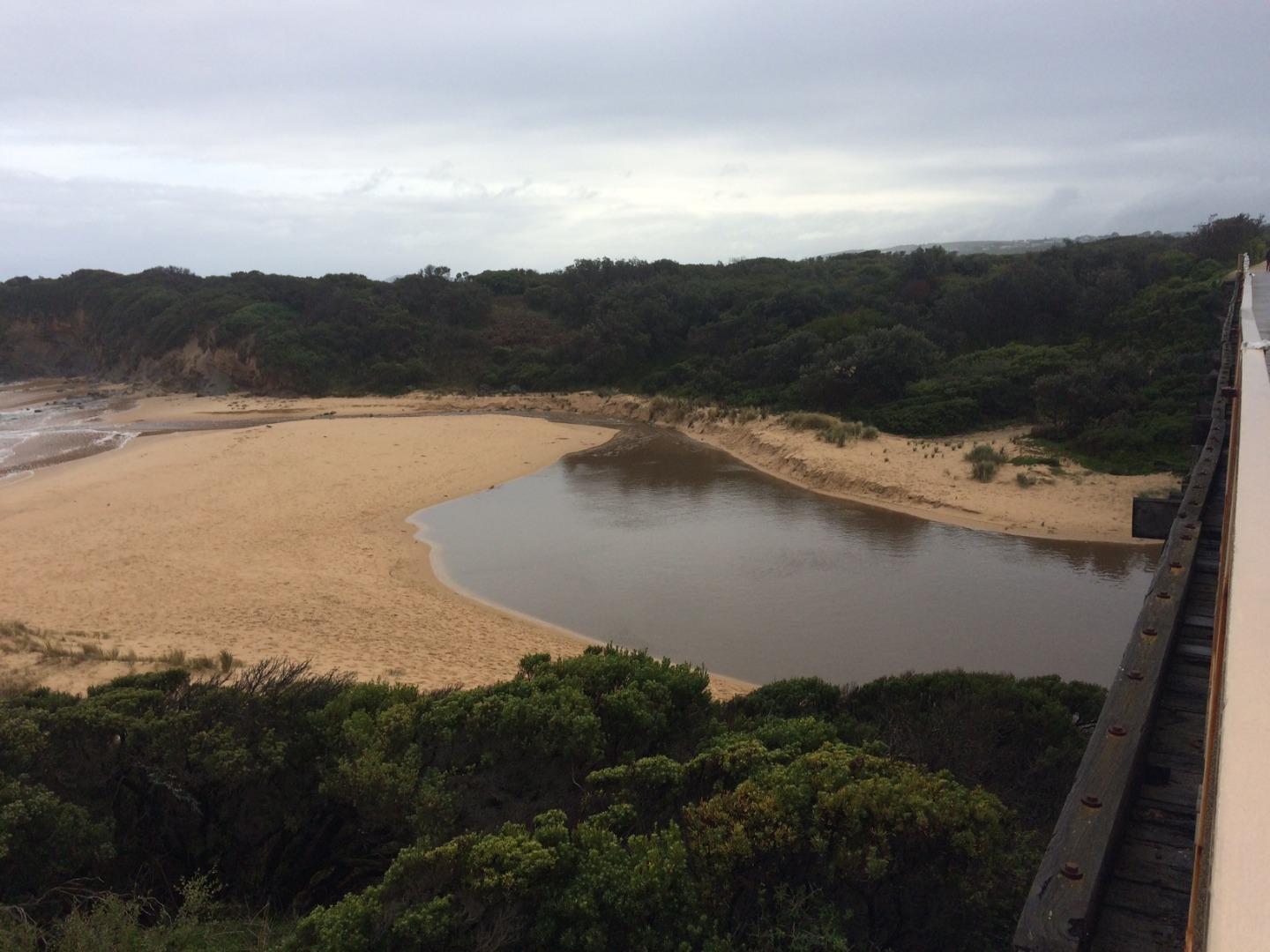
After 64mm of rain on April 2, Bourne Creek naturally opened to the ocean. However, it looks like the estuary will soon close over again. |
|
| #16097 | 27 Mar 2024 | Approved |
Notes:
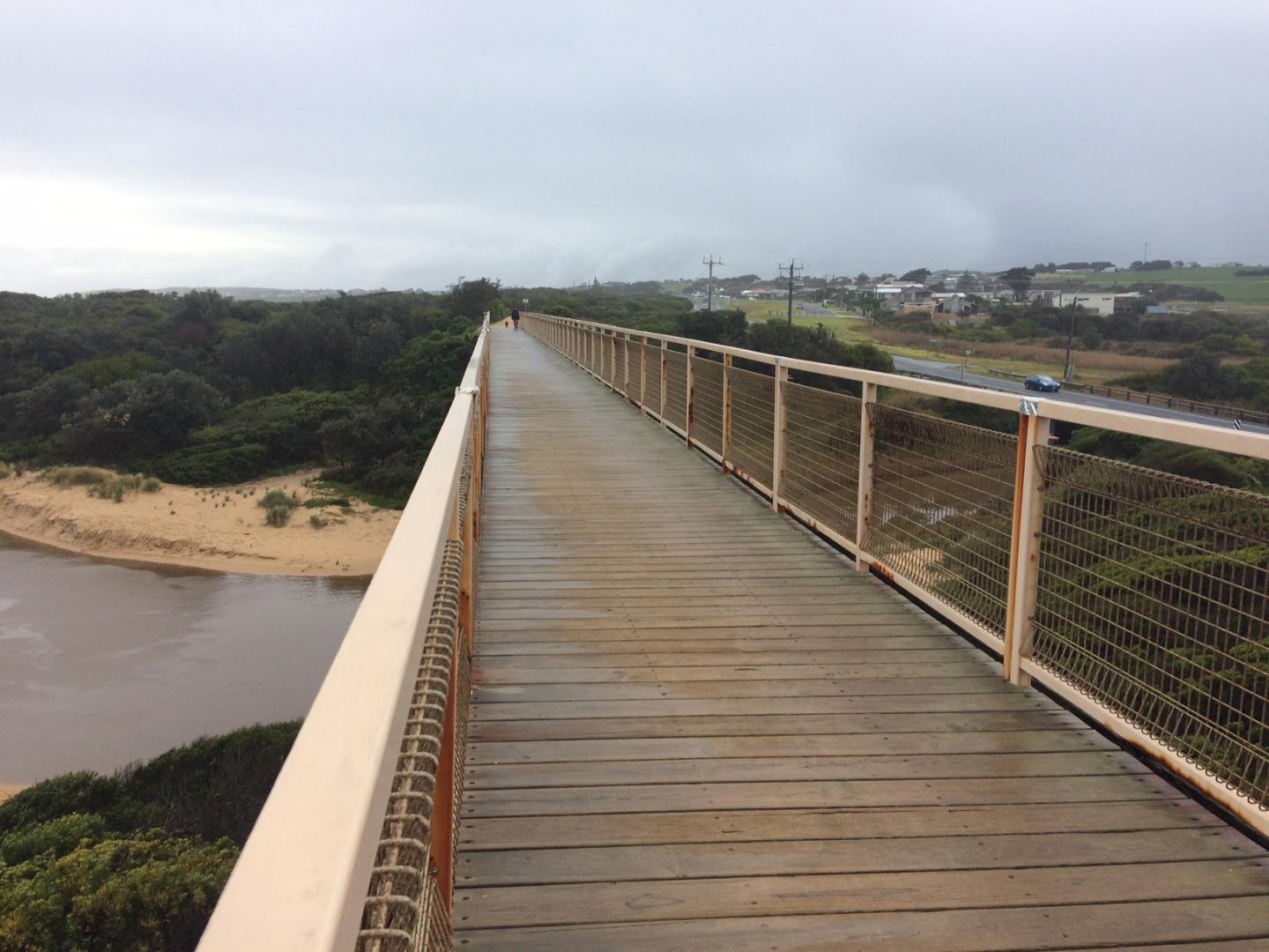
Water barely reaches past the bridge at the moment. |
|
| #16001 | 8 Feb 2024 | Approved |
Notes:
Had to estimate berm height as it wasn't a straight line between waters edge and lowest part of the berm. Water levels quite low. |
|
| #15965 | 16 Jan 2024 | Approved |
Notes:
Looks like the estuary opened sometime between the last observation and now. |
|
| #15947 | 18 Dec 2023 | Approved | ||
| #15897 | 28 Nov 2023 | Approved | ||
| #15841 | 16 Nov 2023 | Approved |
Notes:
Looks like estuary is still engaged at high tide but no flow entering the ocean currently. |
|
| #15805 | 16 Oct 2023 | Approved | ||
| #15786 | 15 Sep 2023 | Approved | ||
| #15729 | 31 Aug 2023 | Approved |
Notes:
Forgot to take a photo of the mouth. Narrow opening and estuary is quite shallow. |
|
| #15655 | 11 Jul 2023 | Approved | ||
| #15569 | 14 Jun 2023 | Approved | ||
| #15556 | 30 May 2023 | Approved | ||
| #15514 | 9 May 2023 | Approved |
Notes:
With more than 20mm of rain over the weekend Bourne Creek naturally opened |
|
| #15506 | 1 May 2023 | Approved |
Notes:
Looks like waves have overtopped the berm at high tide |
|
| #15480 | 19 Apr 2023 | Approved |
Notes:
Entrance close to opening, just need another rainfall event and it will naturally open |
|
| #15387 | 4 Apr 2023 | Approved | ||
| #15378 | 20 Mar 2023 | Approved | ||
| #15339 | 8 Mar 2023 | Approved | ||
| #15307 | 21 Feb 2023 | Approved | ||
| #15272 | 8 Feb 2023 | Approved |
Notes:
Looks like it got close to opening during recent rainfall event last week. |
|
| #15238 | 17 Jan 2023 | Approved | ||
| #15210 | 4 Jan 2023 | Approved | ||
| #15204 | 19 Dec 2022 | Approved |
Notes:
Estuary looks close to closing over and will most likely over Christmas-New Year with not much rain forecasted. |
|
| #15169 | 12 Dec 2022 | Approved | ||
| #15122 | 14 Nov 2022 | Approved |
Notes:
A big dump of rain earlier today caused water levels to rise rapidly and flood Bass Highway but water levels have since dropped. |
|
| #15121 | 10 Nov 2022 | Approved | ||
| #15103 | 2 Nov 2022 | Approved |
Notes:
No WQ measurement today but water looking very turbid and most likely on the fresher side. |
|
| #15061 | 5 Oct 2022 | Approved |
Notes:
Just a small trickle flowing out. Water a lot clearer now after not much rain since last observation. |
|
| #15032 | 19 Sep 2022 | Approved | ||
| #14993 | 7 Sep 2022 | Approved |
Notes:
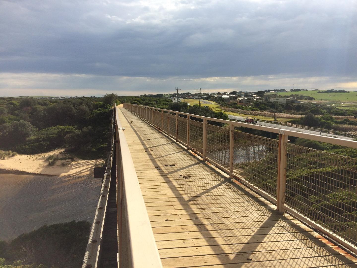
Estuary has started to erode away the eastern bank adjacent to the Trestle Bridge |
|
| #14973 | 24 Aug 2022 | Approved |
Notes:
Water levels very low |
|
| #14944 | 16 Aug 2022 | Approved |
Notes:
Reports that water flooded highway over weekend so water levels reached at least 2.52mAHD (Height of lowest point in road.) |
|
| #14933 | 11 Aug 2022 | Approved | ||
| #14922 | 4 Aug 2022 | Approved | ||
| #14913 | 27 Jul 2022 | Approved | ||
| #14895 | 19 Jul 2022 | Approved | ||
| #14884 | 13 Jul 2022 | Approved | ||
| #14863 | 6 Jul 2022 | Approved |
Notes:
New gaugeboard installed at Bourne Creek. Note that AHD height = gauge height + 1.5. Road level is 2.5mAHD. |
|
| #14852 | 29 Jun 2022 | Approved | ||
| #14818 | 23 Jun 2022 | Approved | ||
| #14748 | 14 Jun 2022 | Approved | ||
| #14735 | 8 Jun 2022 | Approved | ||
| #14713 | 6 Jun 2022 | Approved |
Notes:
40 minutes later and today's rainfall was enough to naturally open the mouth |
|
| #14712 | 6 Jun 2022 | Approved |
Notes:
Mouth has closed after artificial opening on Friday. |
|
| #14706 | 2 Jun 2022 | Approved |
Notes:
Water levels approximately 0.05m below road level. |
|
| #14697 | 25 May 2022 | Approved |
Notes:
Water levels approximately 0.25m below road level. |
|
| #14636 | 2 May 2022 | Approved | ||
| #14619 | 20 Apr 2022 | Approved |
Notes:
1 eel hanging around the mouth |
|
| #14595 | 14 Apr 2022 | Approved | ||
| #14572 | 31 Mar 2022 | Approved | ||
| #14517 | 1 Mar 2022 | Approved |
Notes:
Lots of algae in the estuary and low water levels. Juvenile fish hanging around in the mouth |
|
| #14488 | 9 Feb 2022 | Approved | ||
| #14476 | 3 Feb 2022 | Approved | ||
| #14453 | 19 Jan 2022 | Approved |
Notes:
Algae Present |
|
| #14416 | 16 Dec 2021 | Approved | ||
| #14380 | 2 Dec 2021 | Approved | ||
| #14340 | 9 Nov 2021 | Approved | ||
| #14098 | 4 May 2021 | Approved |
|
|
| #14115 | 28 Apr 2021 | Approved | ||
| #14071 | 15 Apr 2021 | Approved | ||
| #14055 | 13 Apr 2021 | Approved |
 |
|
| #14038 | 30 Mar 2021 | Approved | ||
| #14000 | 2 Mar 2021 | Approved | ||
| #13983 | 11 Feb 2021 | Approved | ||
| #13926 | 7 Jan 2021 | Approved | ||
| #13904 | 9 Dec 2020 | Approved | ||
| #13848 | 20 Nov 2020 | Approved | ||
| #13829 | 22 Oct 2020 | Approved | ||
| #13801 | 30 Sep 2020 | Approved | ||
| #13786 | 1 Sep 2020 | Approved | ||
| #13760 | 14 Jul 2020 | Approved |
Notes:
Tide heights from thirteenth beach (maths required at a later) |
|
| #13715 | 29 May 2020 | Approved | ||
| #13705 | 6 May 2020 | Approved | ||
| #13691 | 30 Apr 2020 | Approved | ||
| #13667 | 15 Apr 2020 | Approved | ||
| #13668 | 24 Mar 2020 | Approved | ||
| #13580 | 17 Feb 2020 | Approved |
Notes:
Bridge mark dissappeared |
|
| #13527 | 21 Jan 2020 | Approved |
Notes:
75 cm below road level (water level) |
|
| #13492 | 19 Dec 2019 | Approved |
Notes:
- Water level 0.56m below road height - Big plumes of red algae out at sea |
|
| #13444 | 3 Dec 2019 | Approved | ||
| #13437 | 27 Nov 2019 | Approved |
Notes:
Water level 645 mm below road marker on bridge |
|
| #13402 | 1 Nov 2019 | Approved |
Notes:
Water Level 0.40 meters below road level. |
|
| #13414 | 18 Oct 2019 | Approved | ||
| #13302 | 22 Aug 2019 | Approved | ||
| #13185 | 8 Jul 2019 | Approved |
Notes:
Water level height ( 0.30m below road level inundation marker on bridge ). Looks like a blue green algae outbreak is present. |
|
| #13154 | 20 Jun 2019 | Approved | ||
| #13155 | 14 Jun 2019 | Approved |
Notes:
Water level dropped by 290mm since artificial opening on the 13th of June 2019 |
|
| #13156 | 13 Jun 2019 | Approved | ||
| #13137 | 13 Jun 2019 | Approved | ||
| #13136 | 12 Jun 2019 | Approved | ||
| #12597 | 14 Dec 2018 | Approved |
Notes:
Hard to measure sand berm height and length due to sand formation and hooded plover nest location. |
|
| #12325 | 13 Aug 2018 | Approved | ||
| #12288 | 23 Jul 2018 | Approved | ||
| #12231 | 3 Jul 2018 | Approved | ||
| #12212 | 19 Jun 2018 | Approved | ||
| #12213 | 18 Jun 2018 | Approved | ||
| #12214 | 18 Jun 2018 | Approved | ||
| #12202 | 15 Jun 2018 | Approved | ||


All content, files, data and images provided by the EstuaryWatch Data Portal and Gallery are subject to a Creative Commons Attribution License
Content is made available to be used in any way, and should always attribute EstuaryWatch and www.estuarywatch.org.au