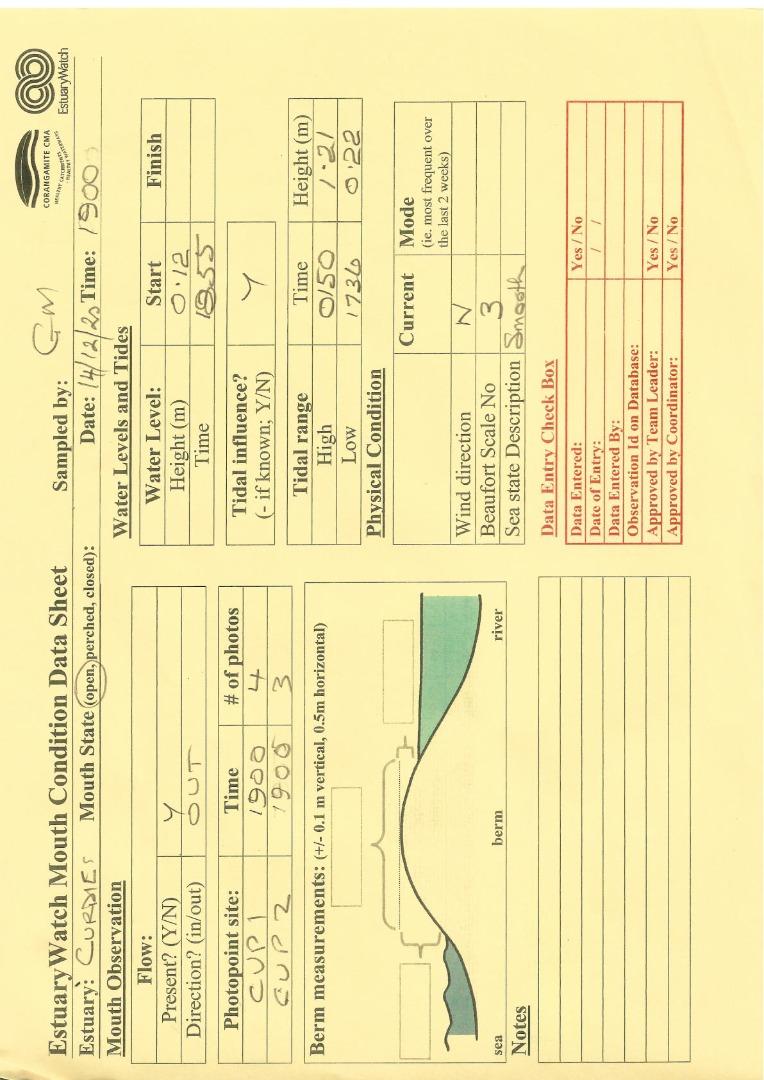
EstuaryWatch Data Portal
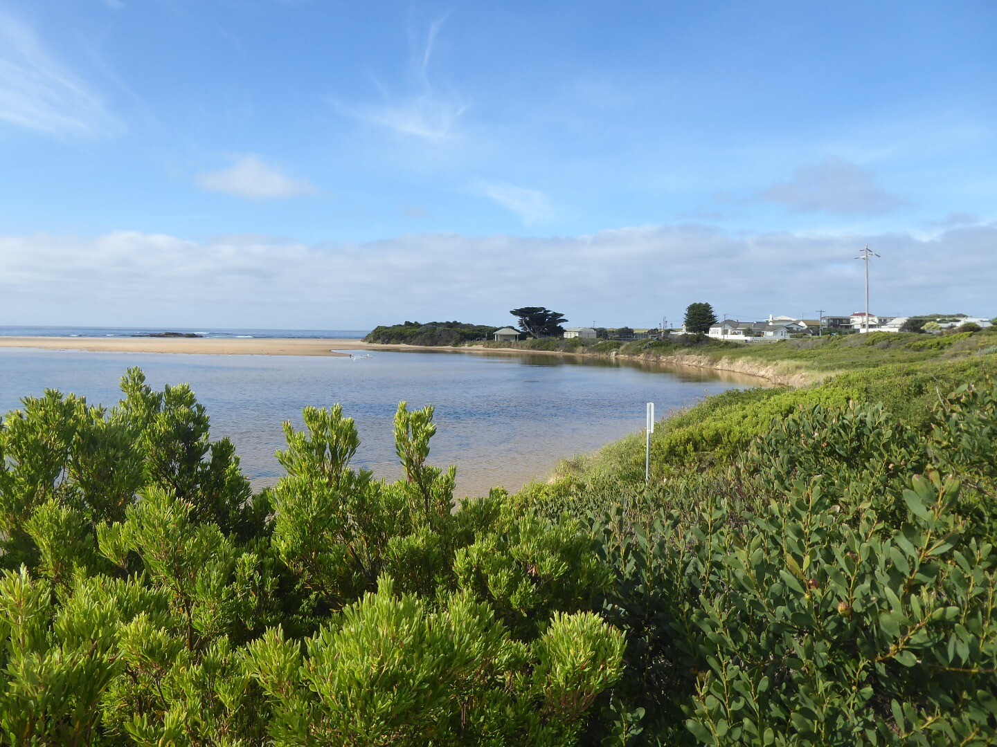
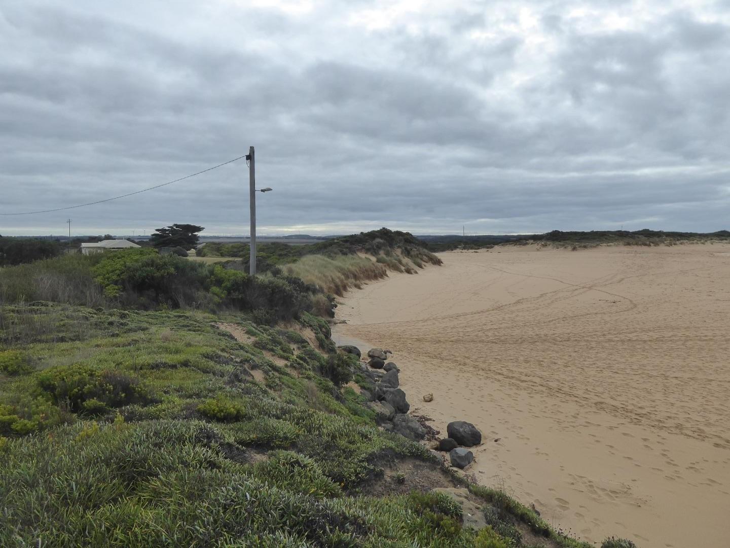
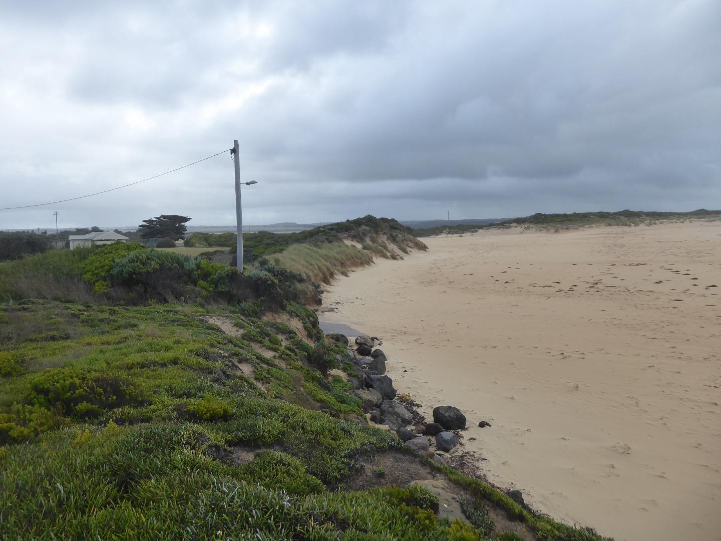
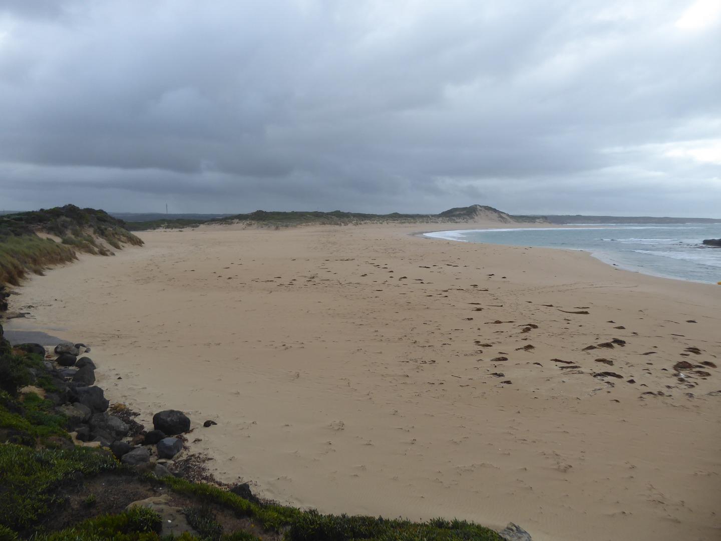
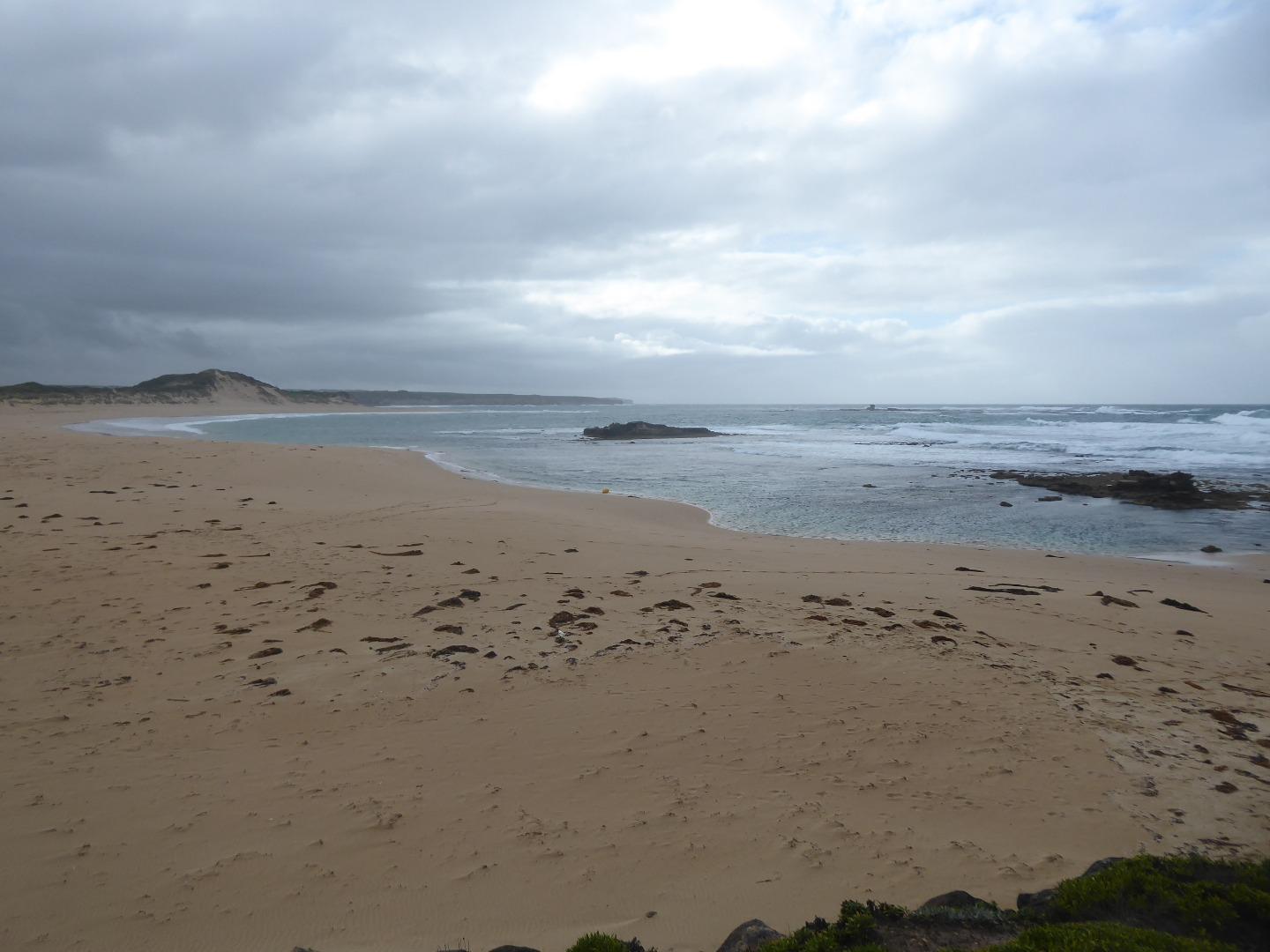
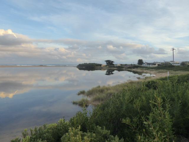
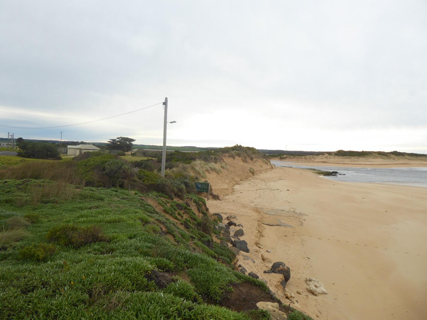
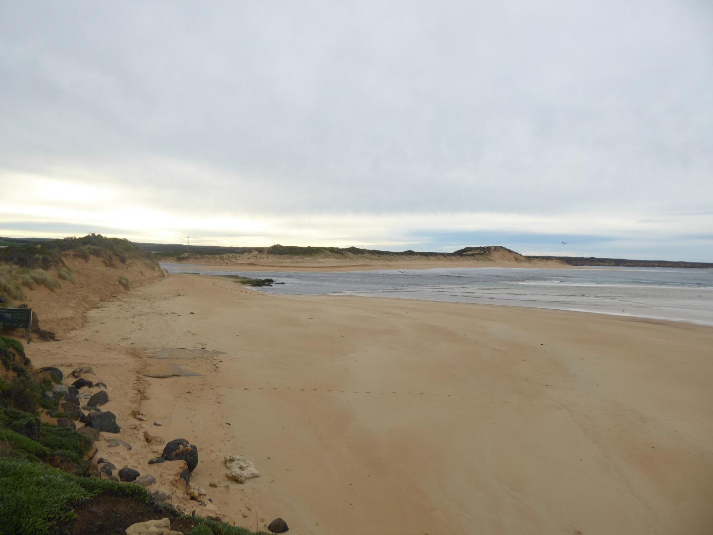
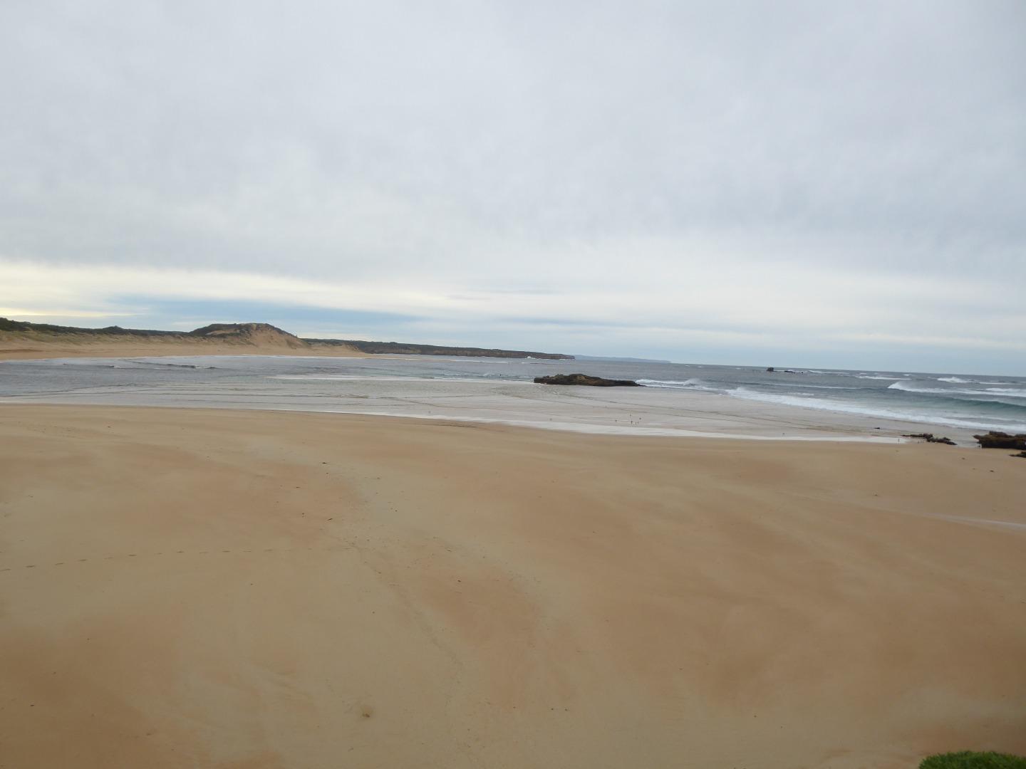
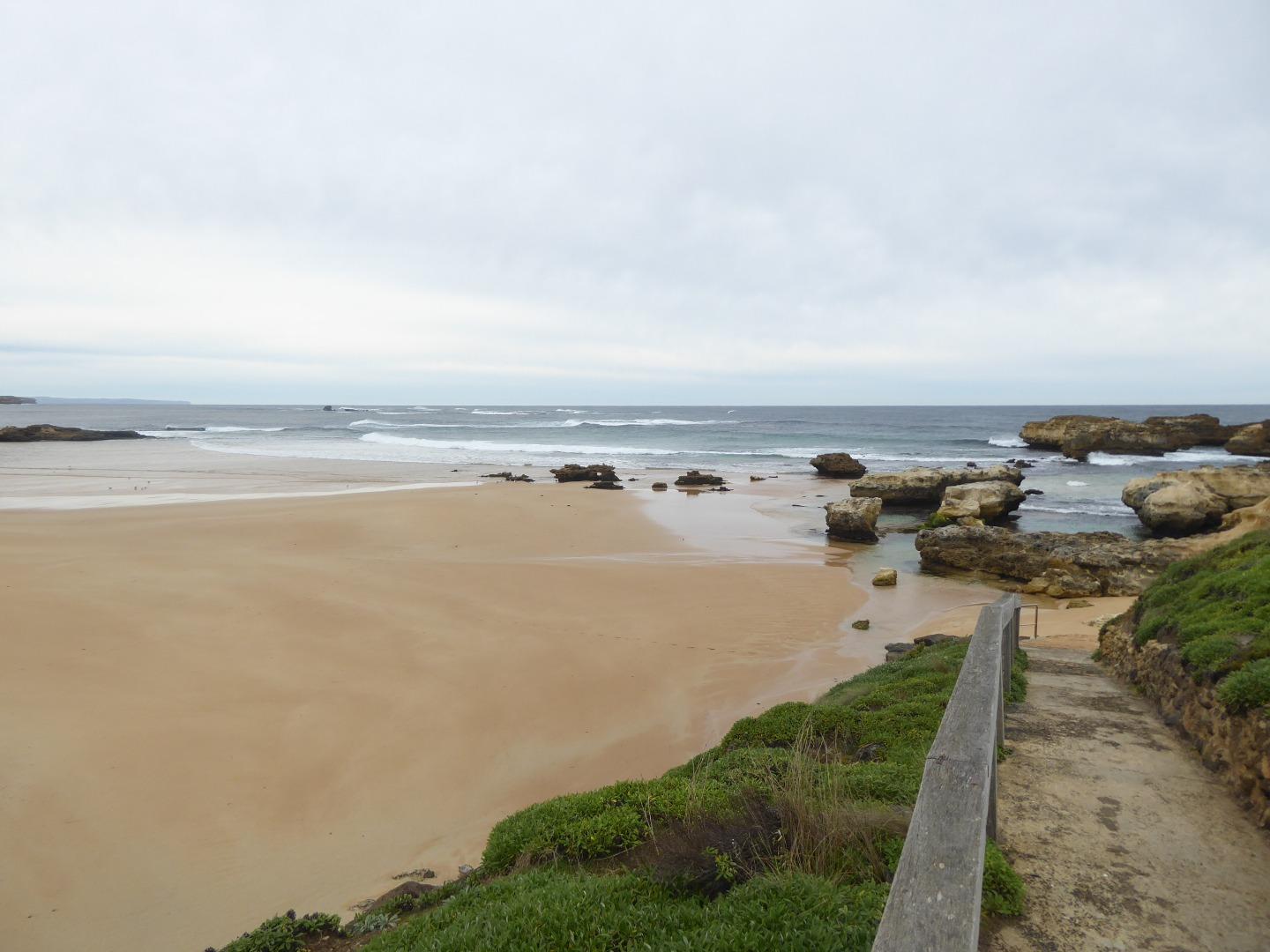
CuMC Curdies Mouth Condition
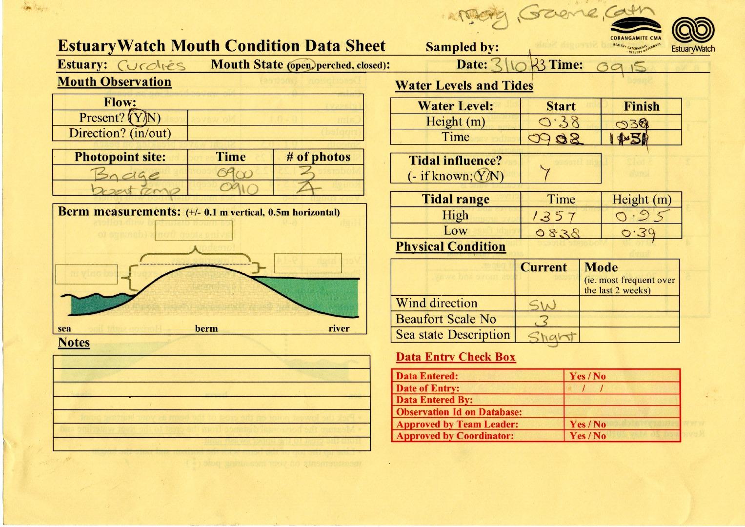
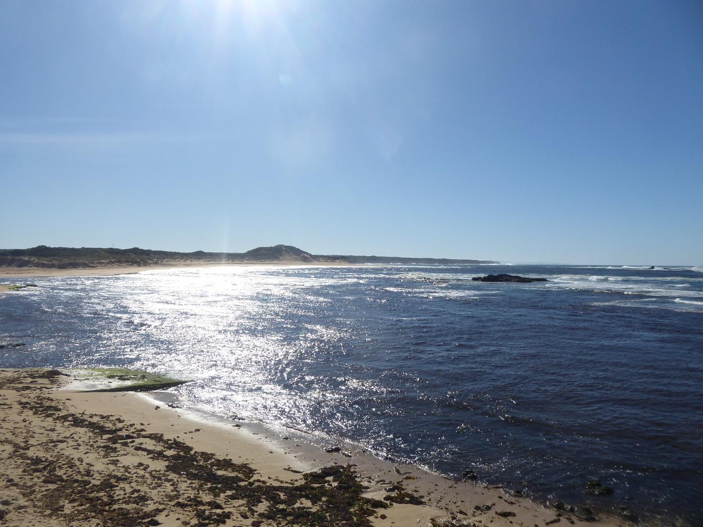
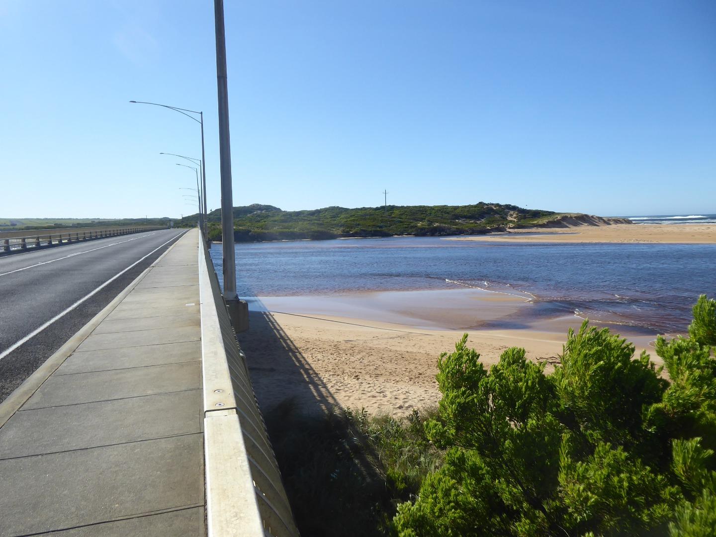
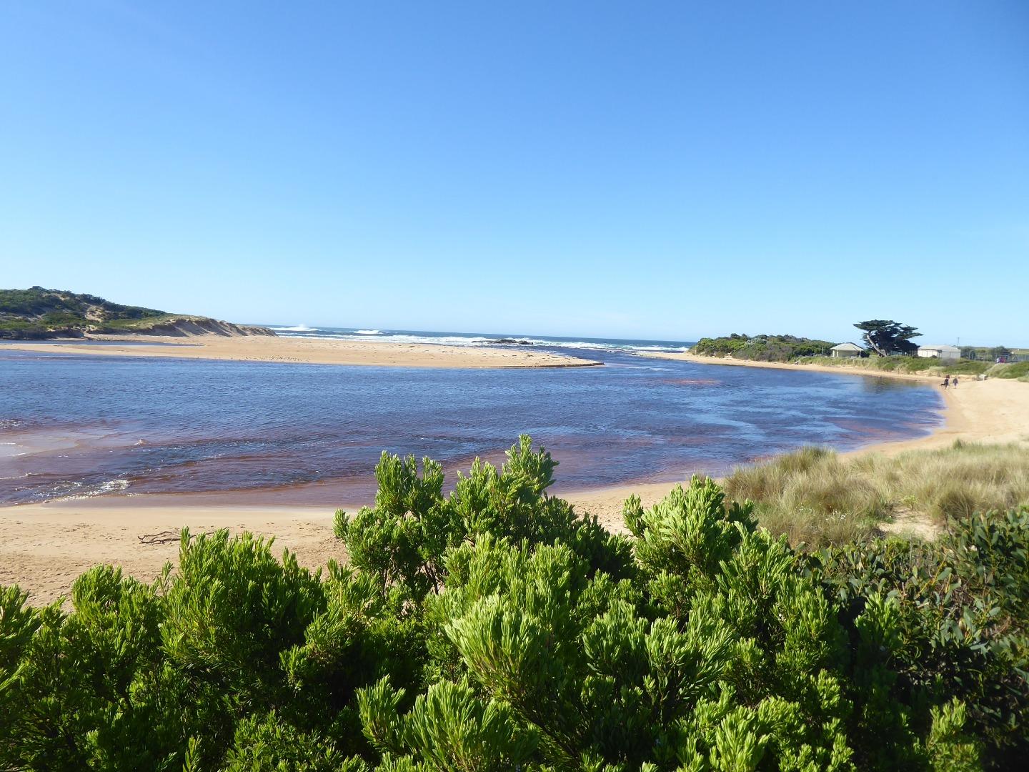
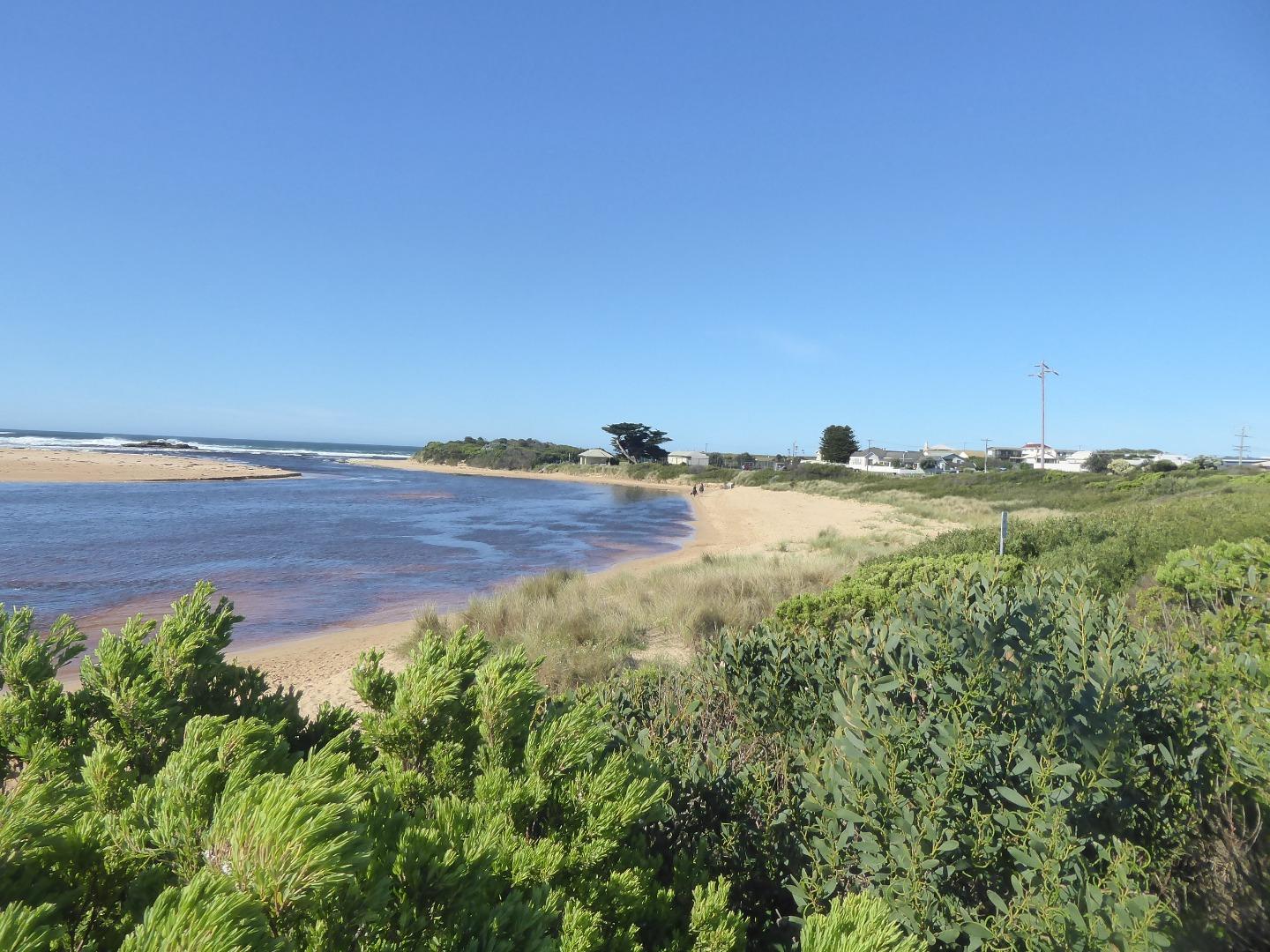
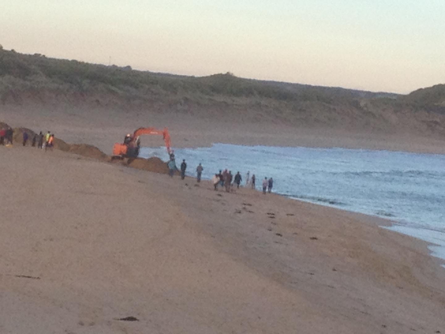
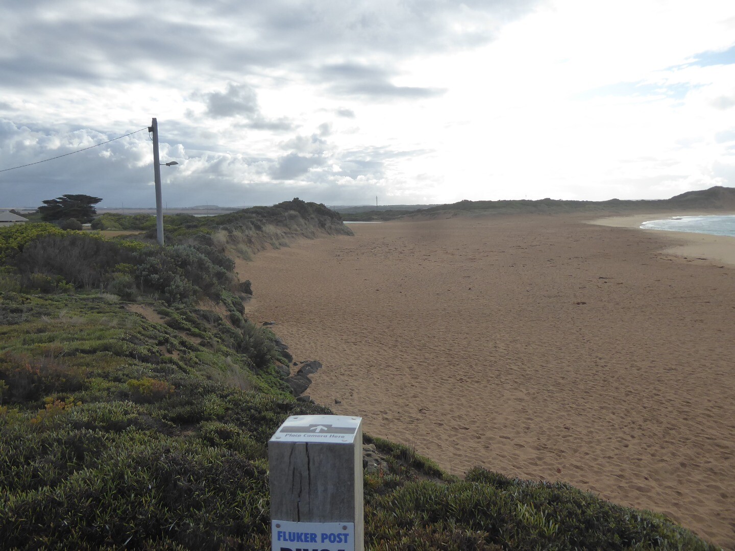
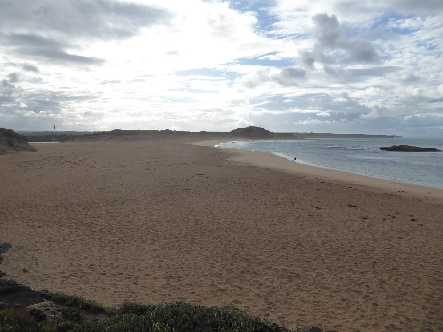
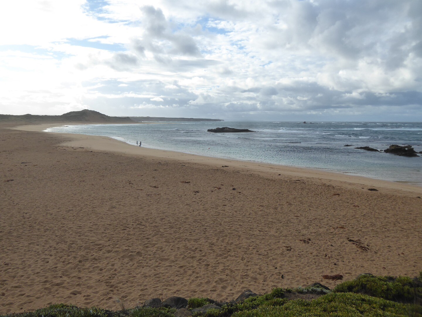
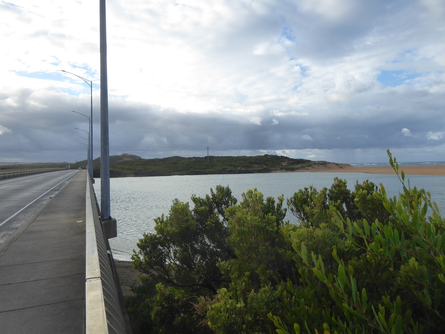
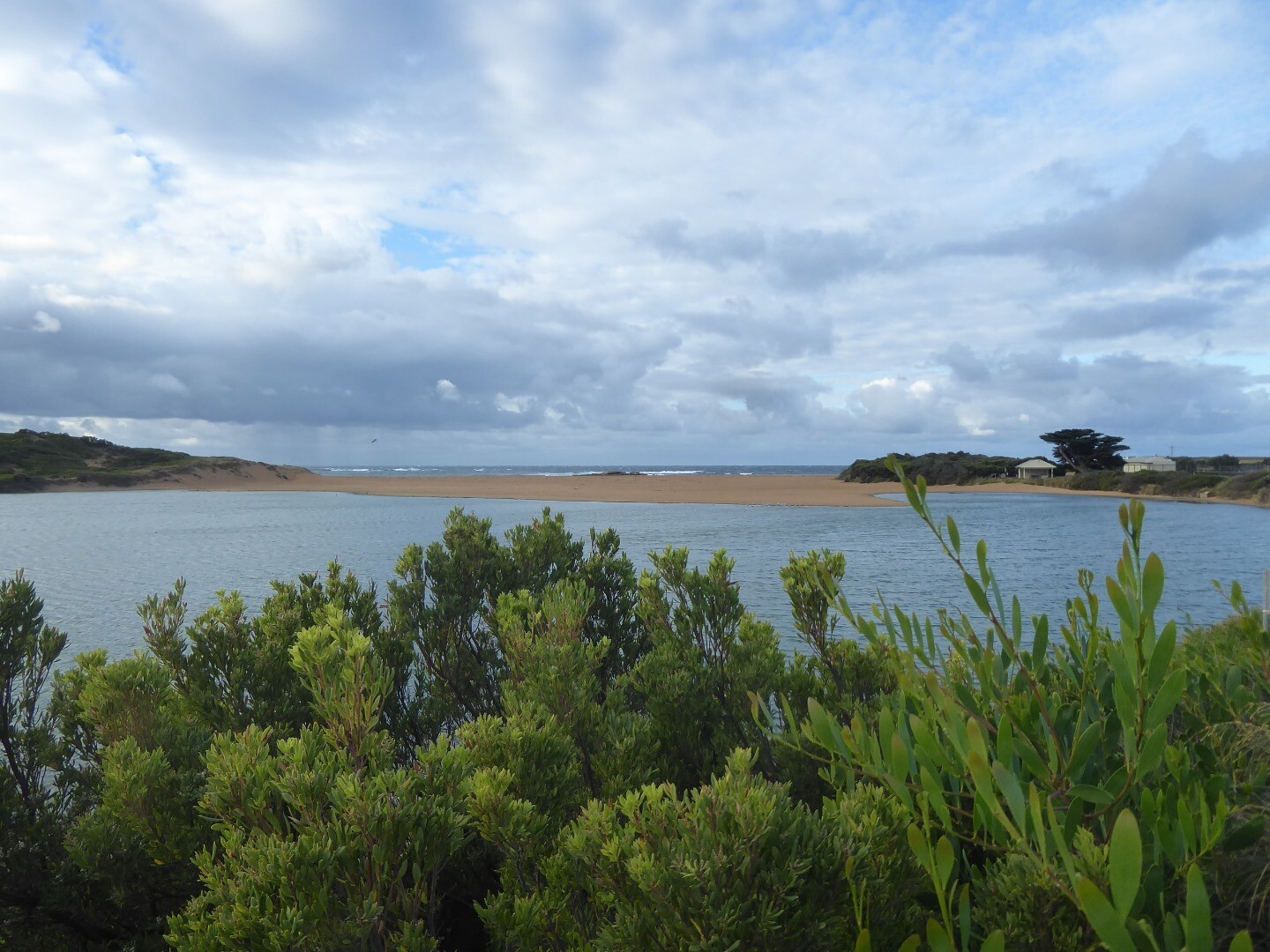
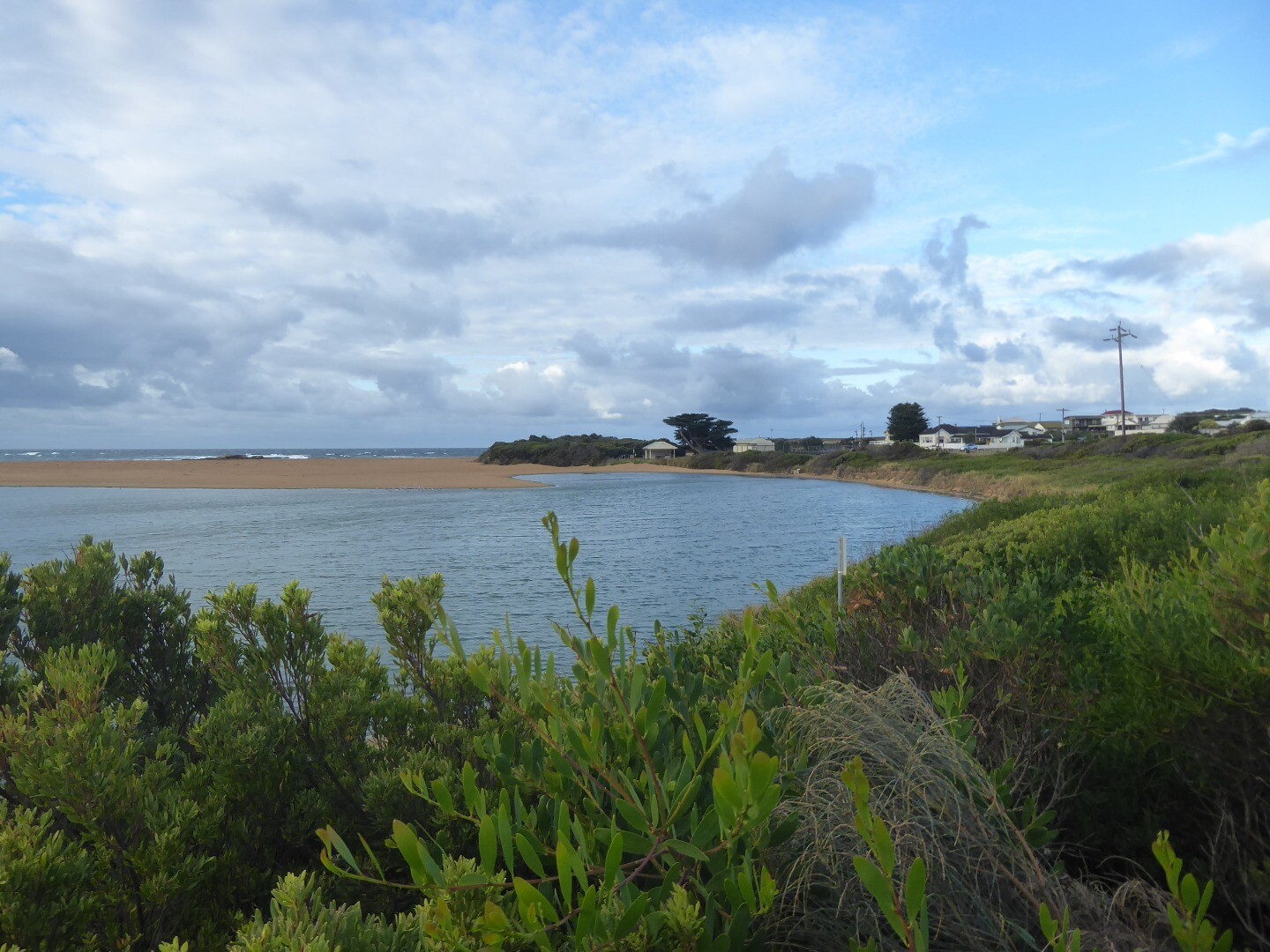
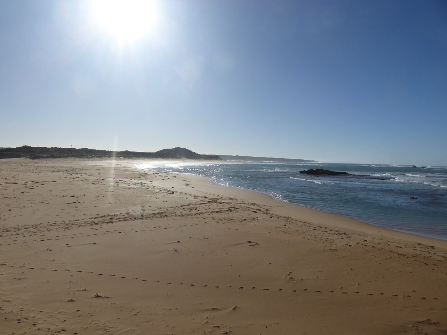
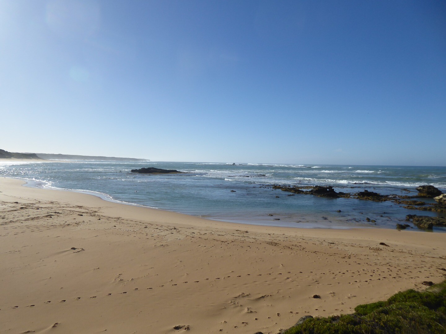
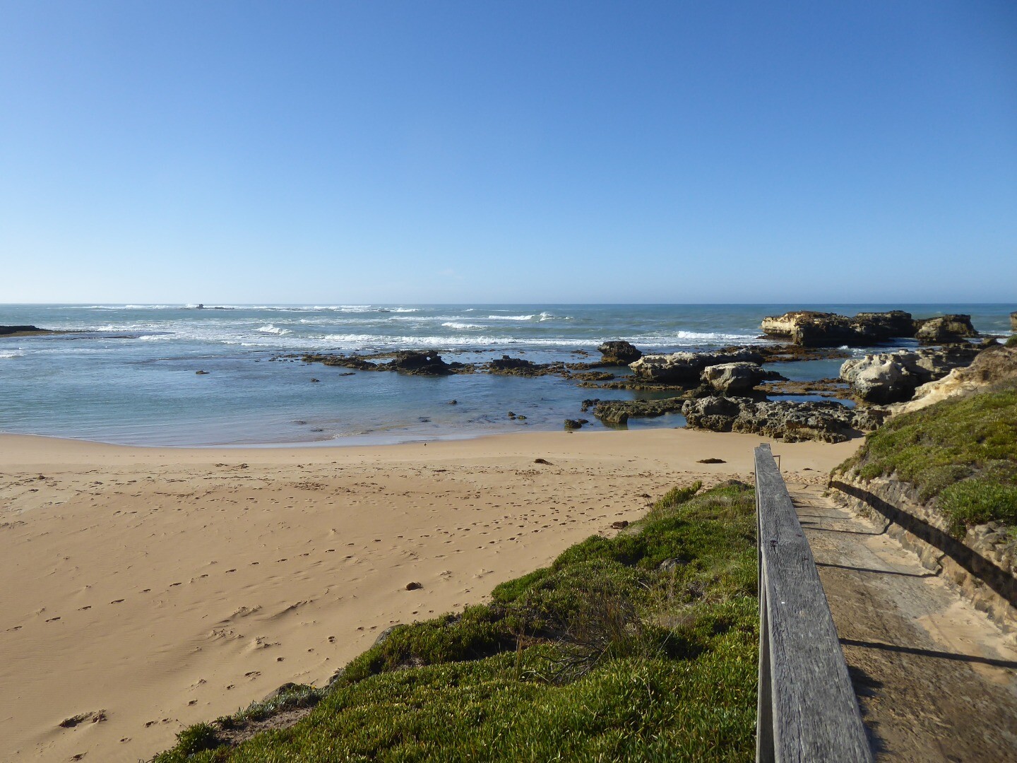
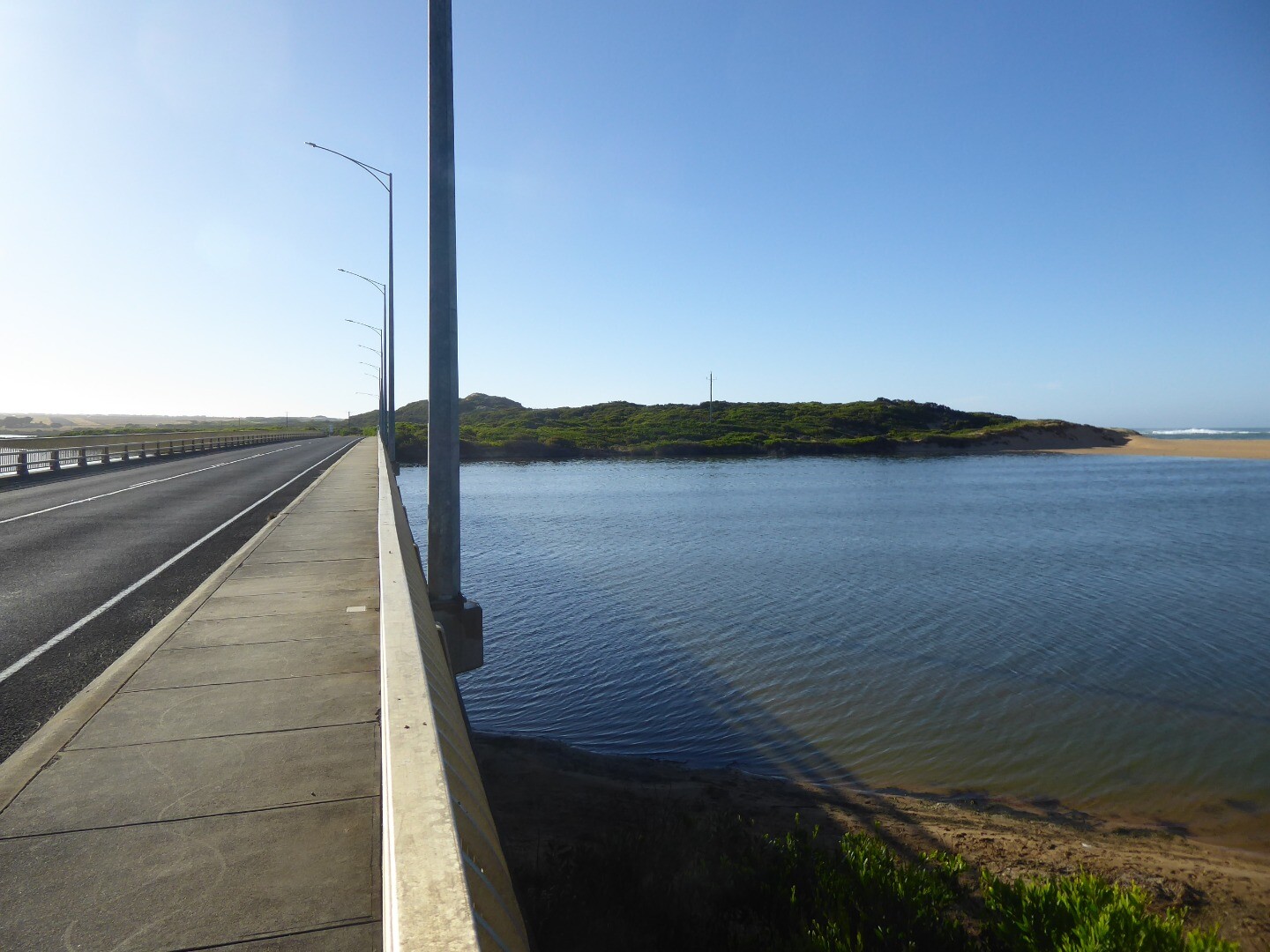
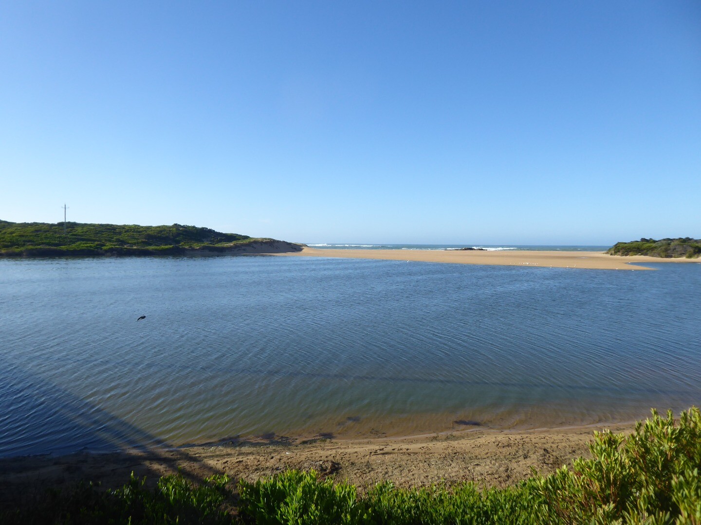
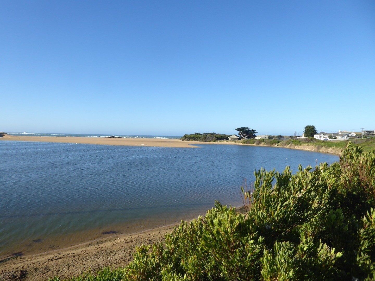
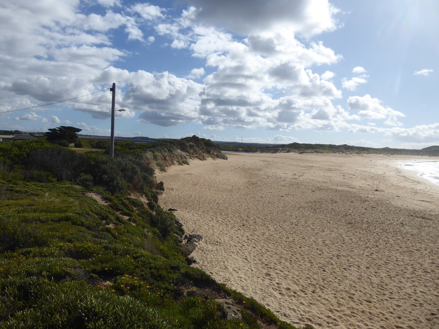
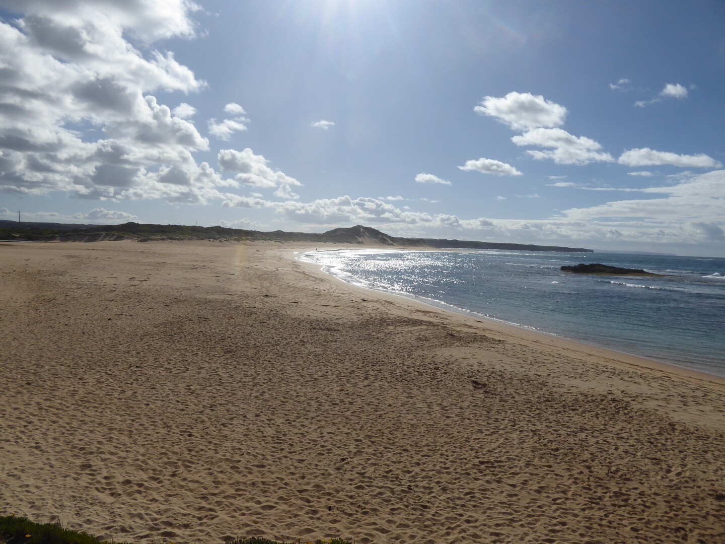
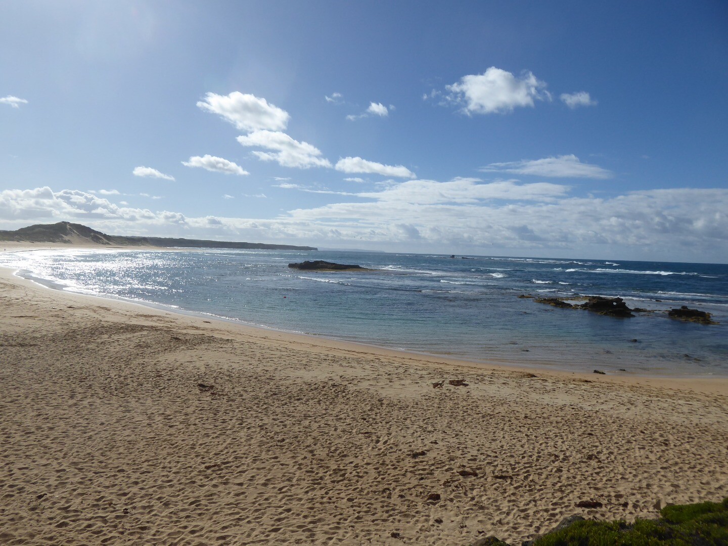
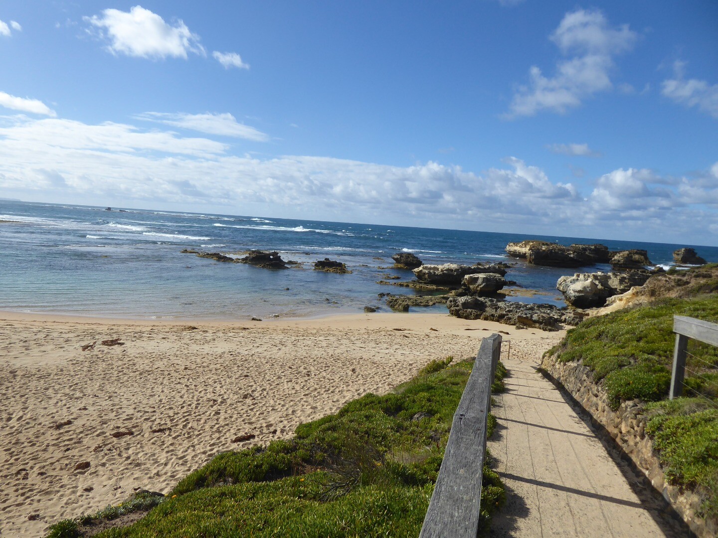
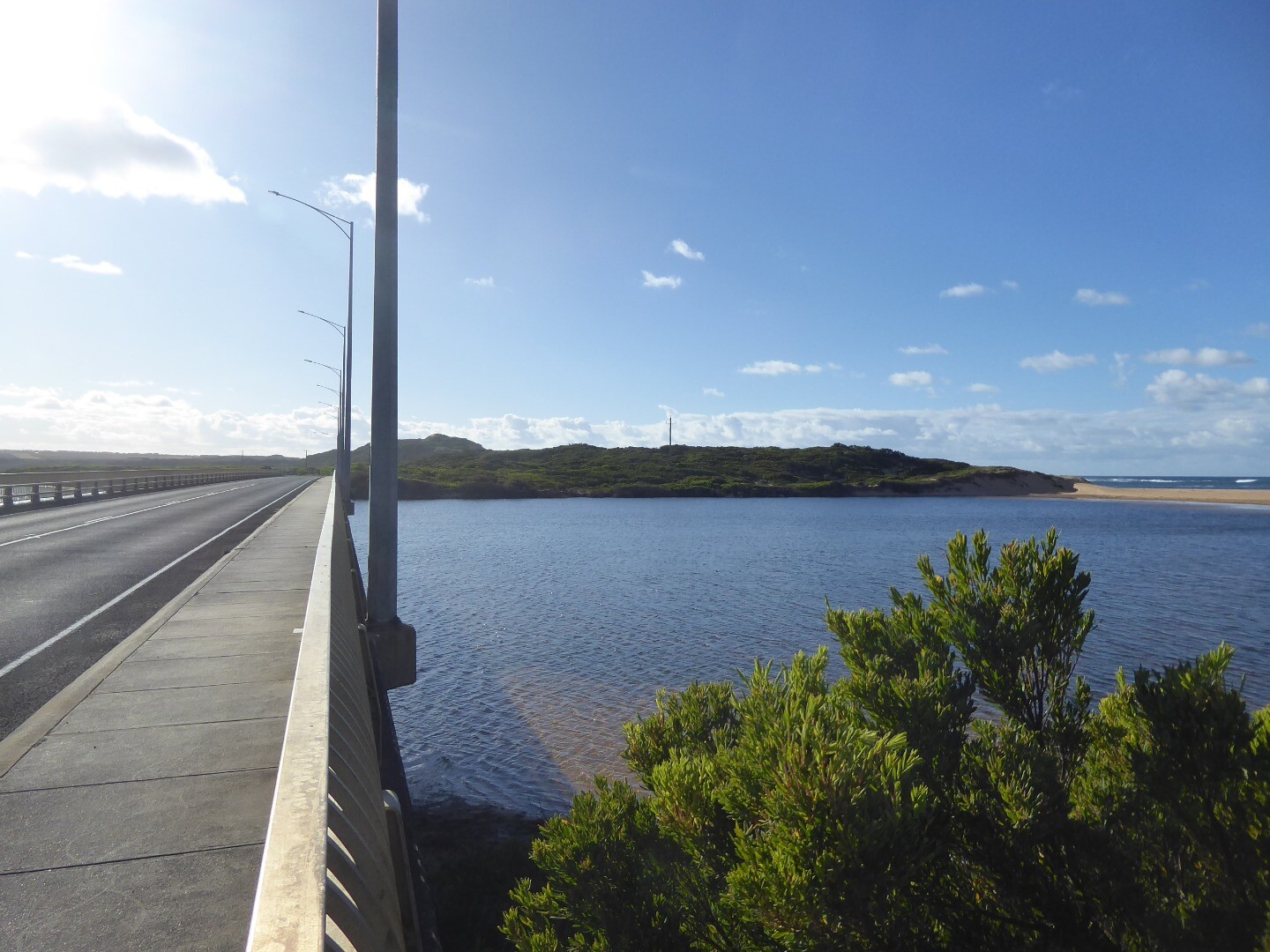
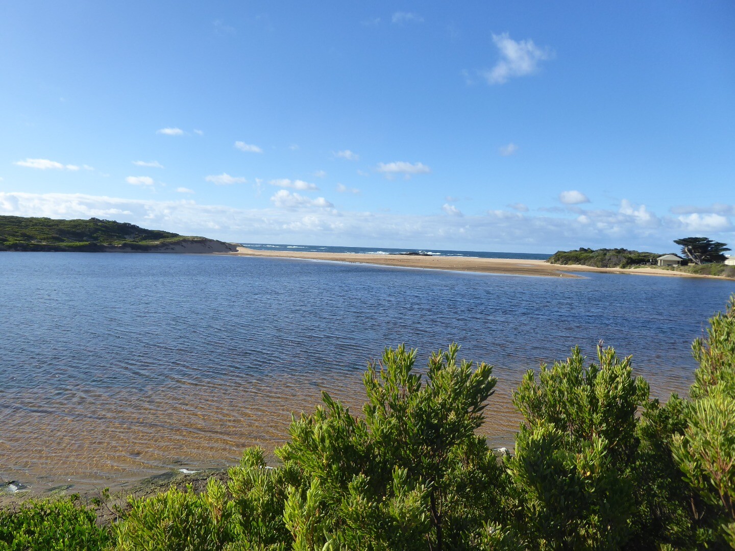
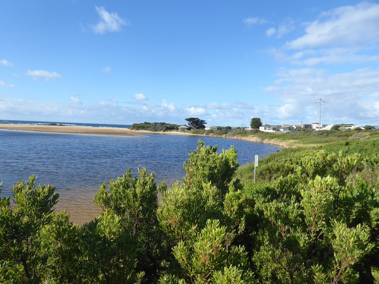
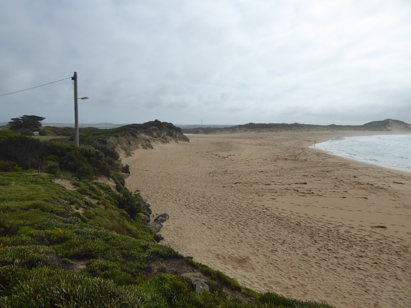
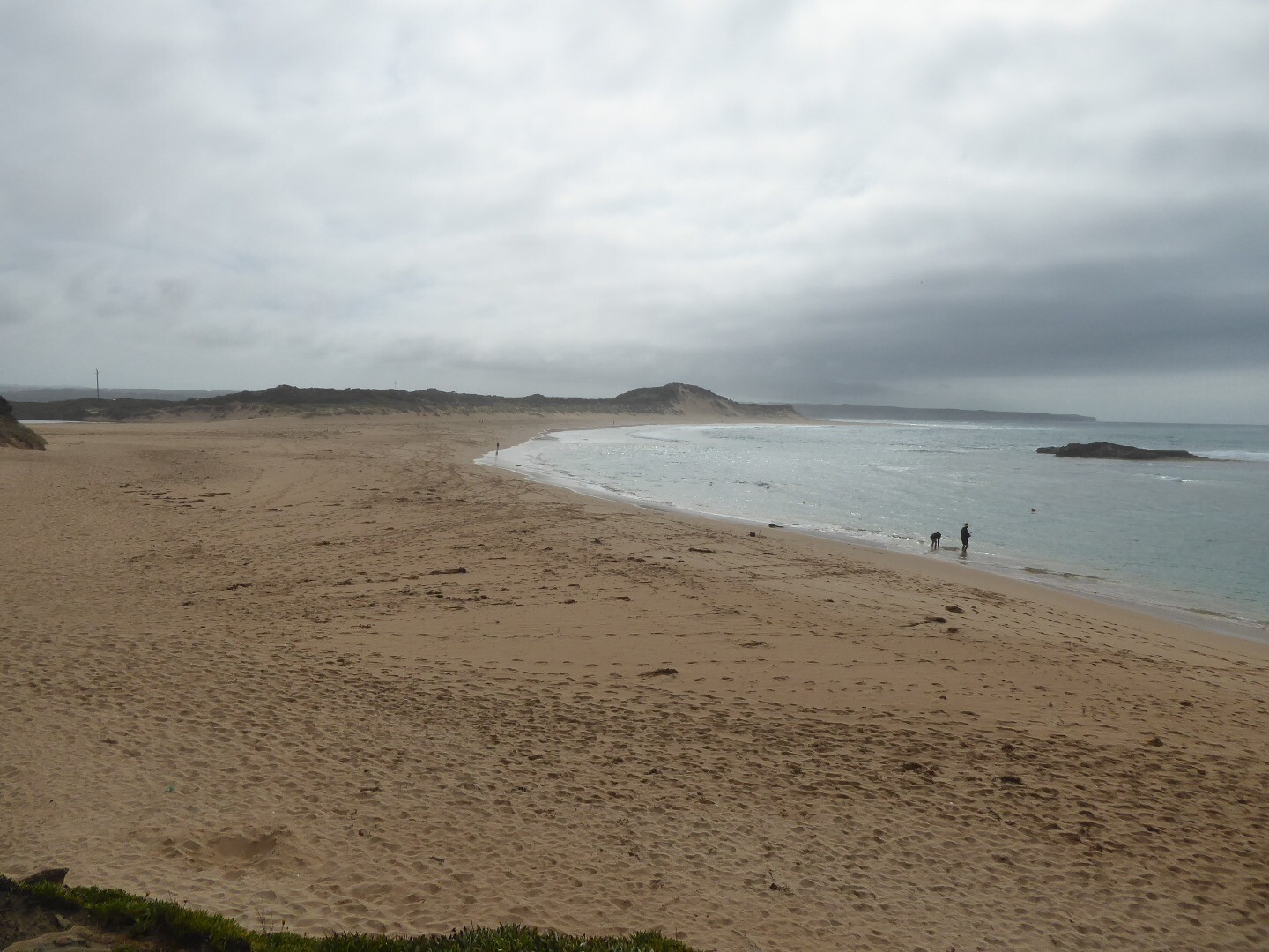
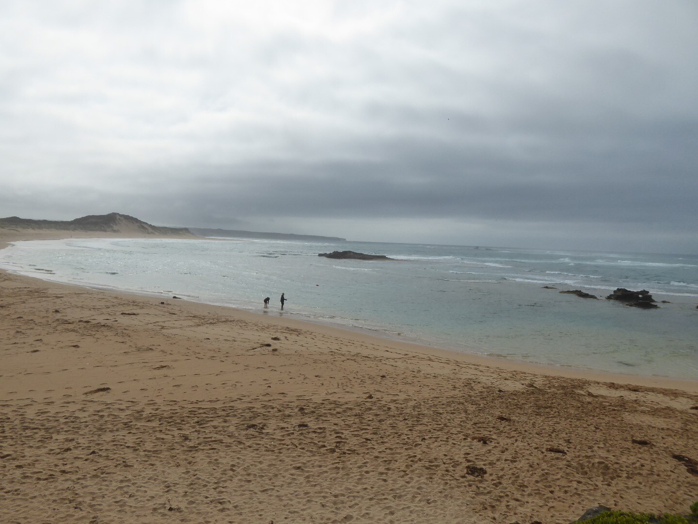
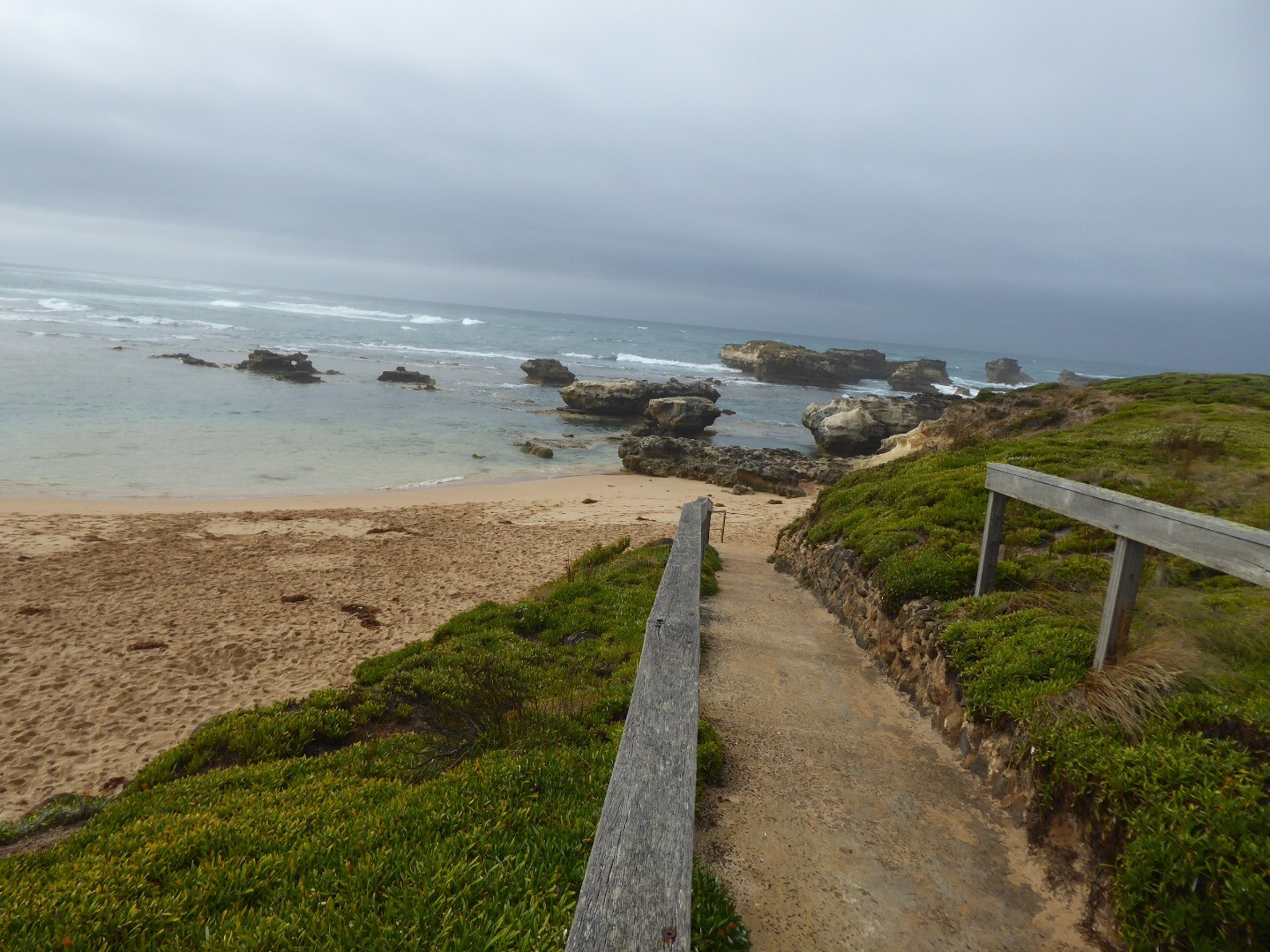
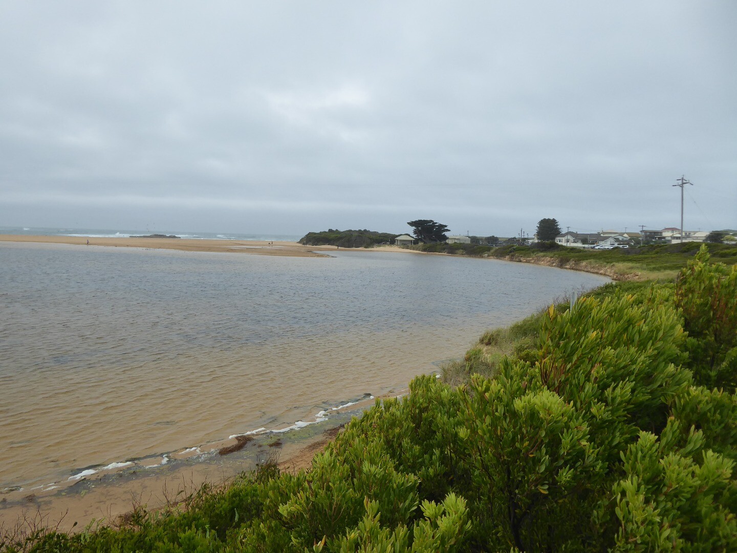
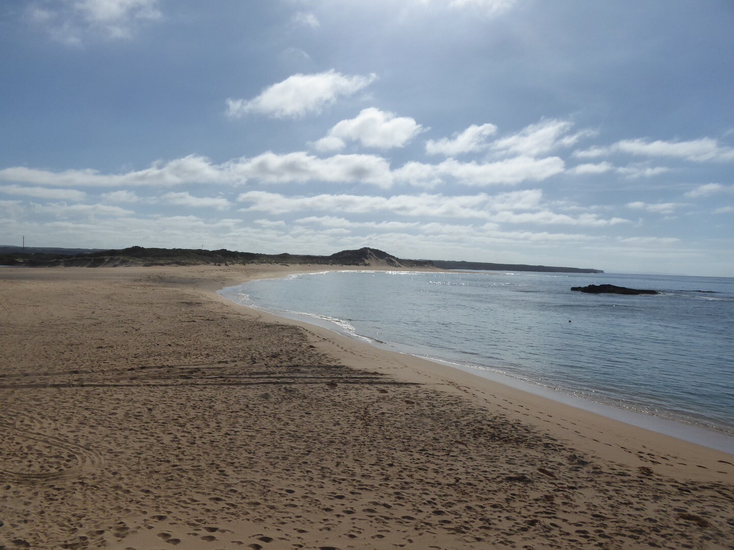
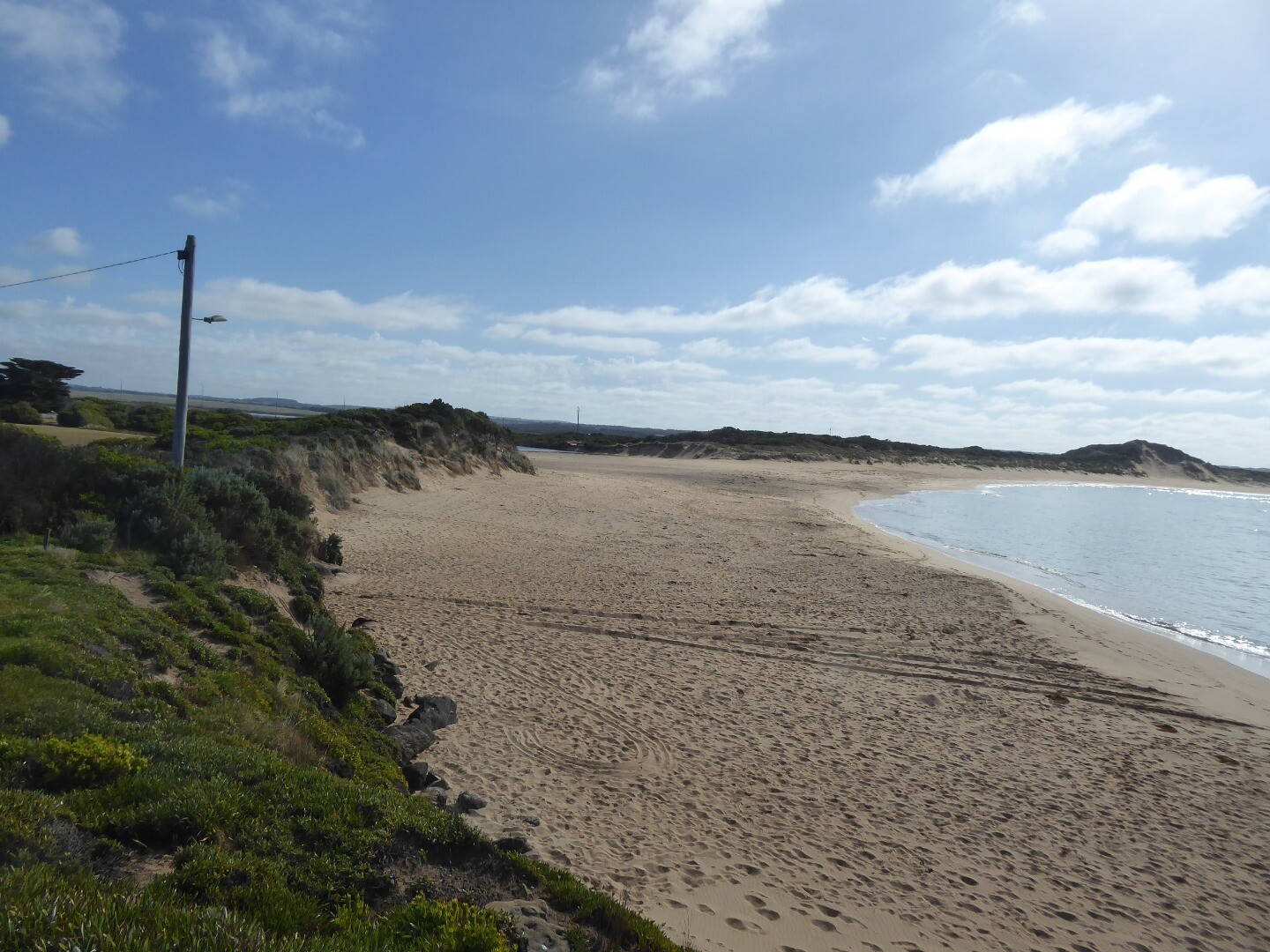
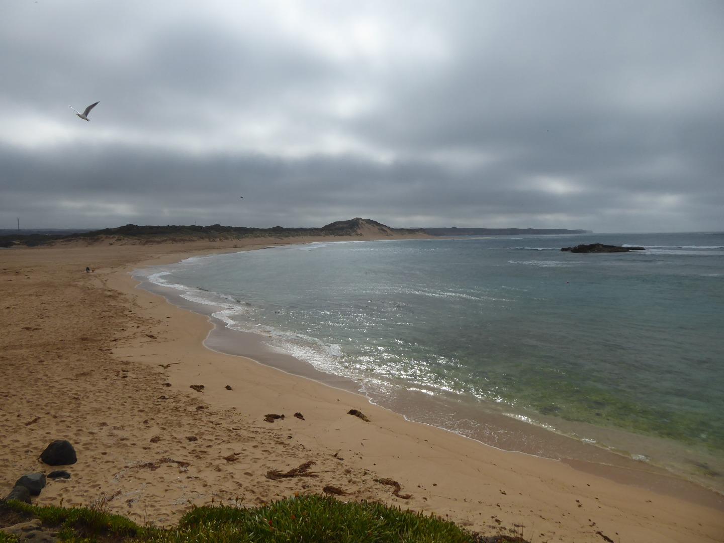
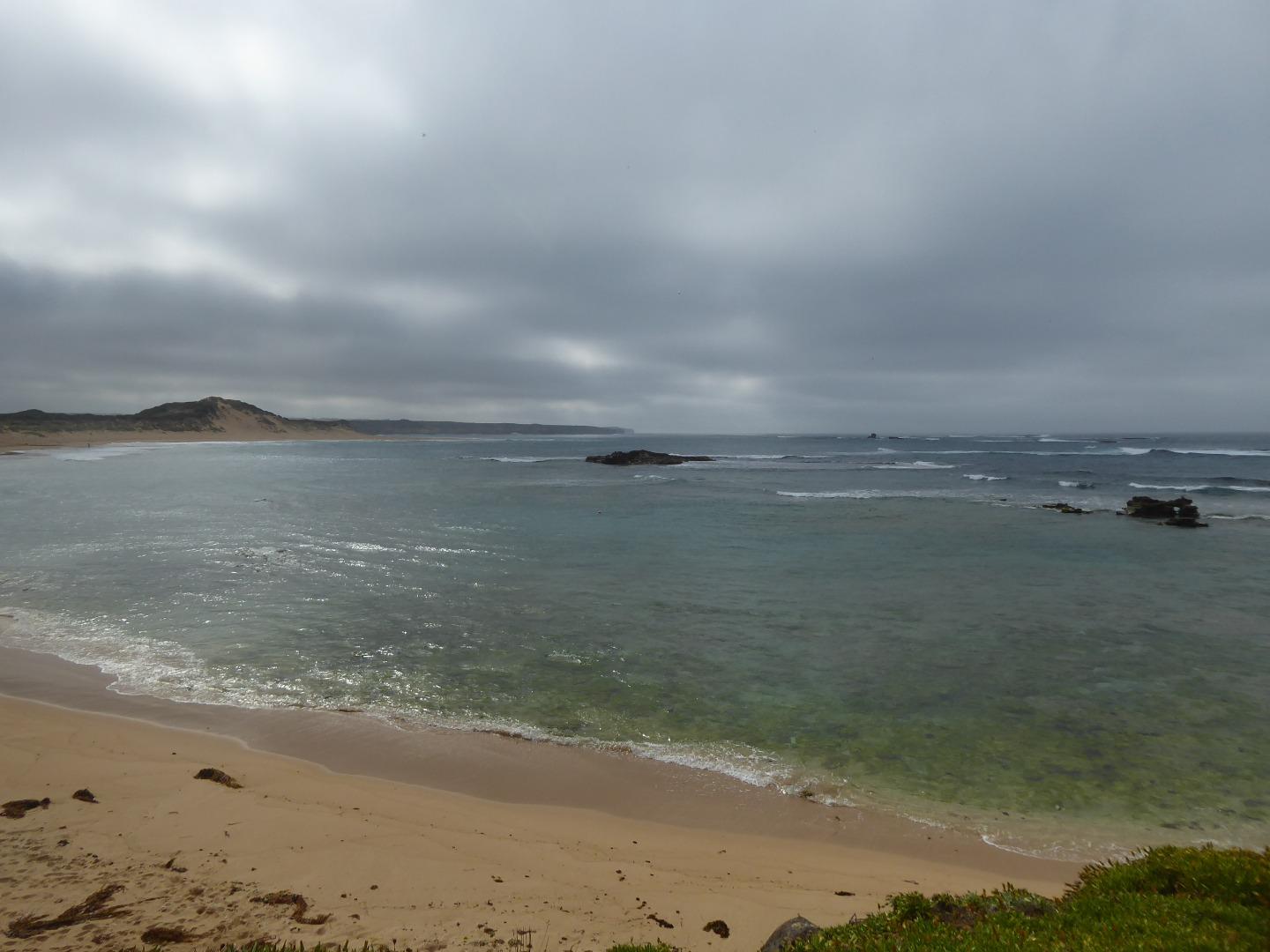
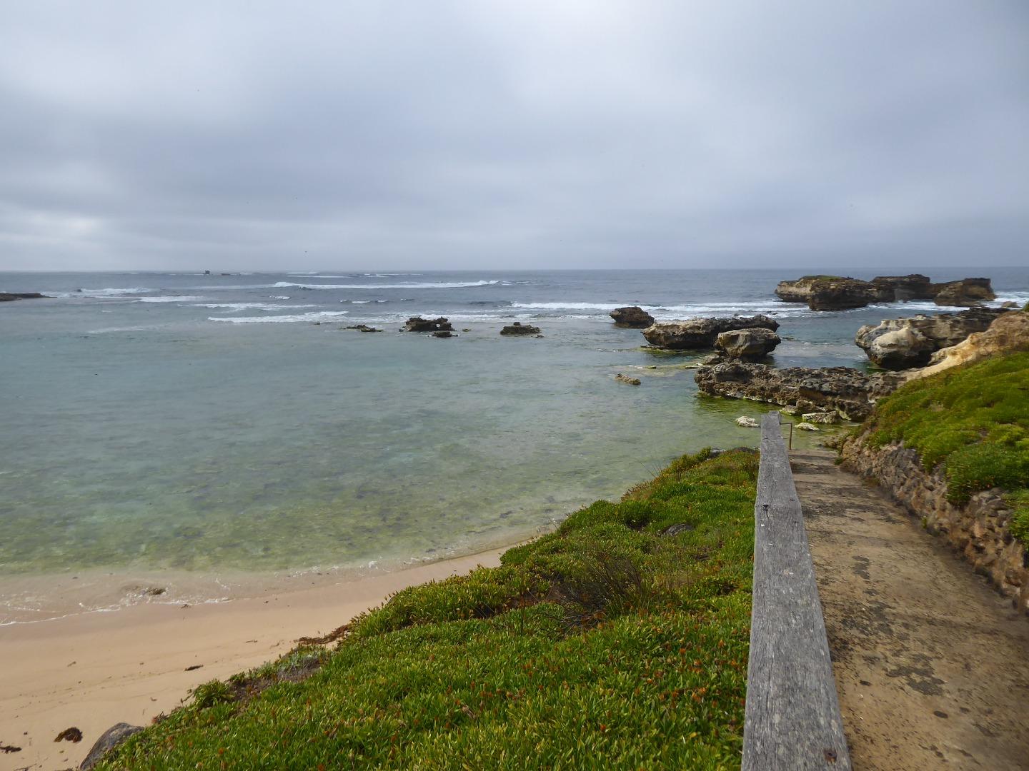
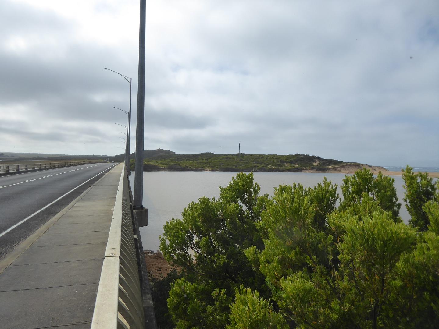
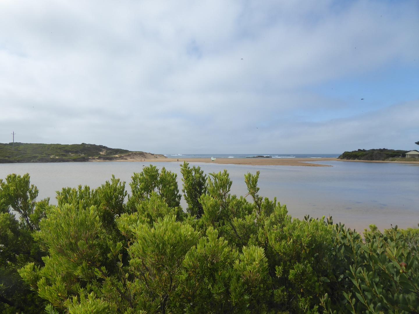
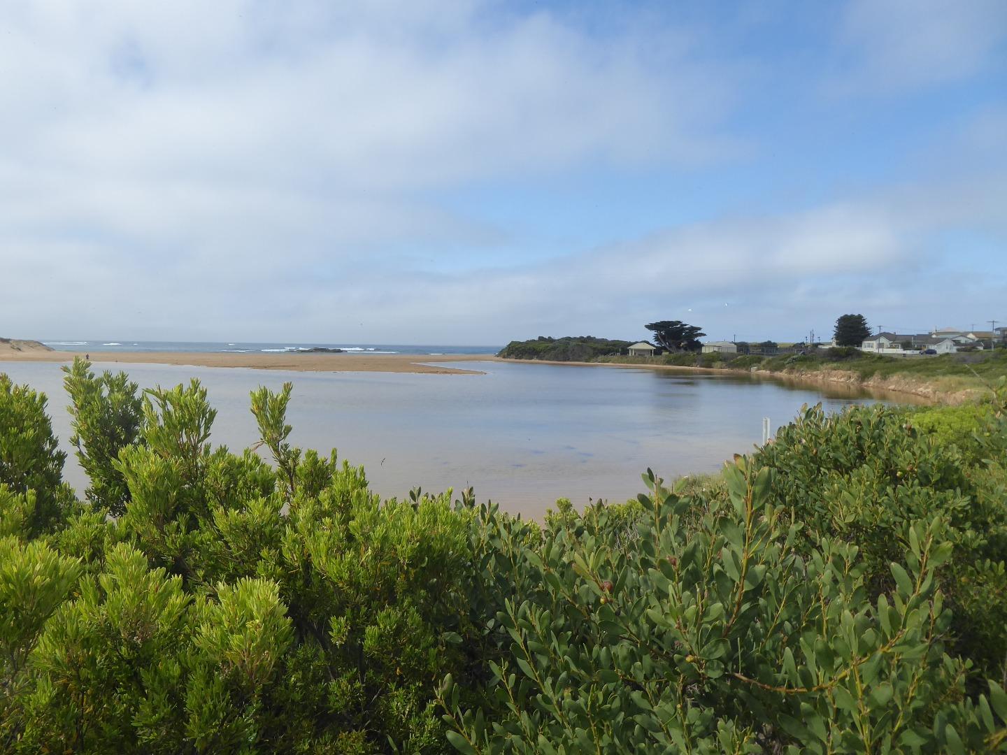
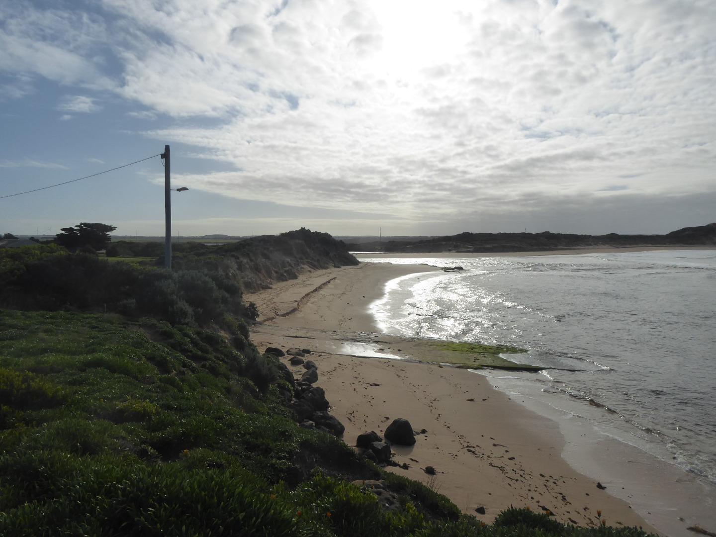
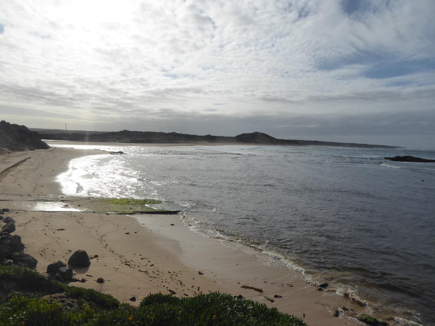
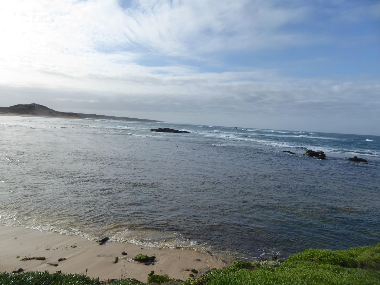
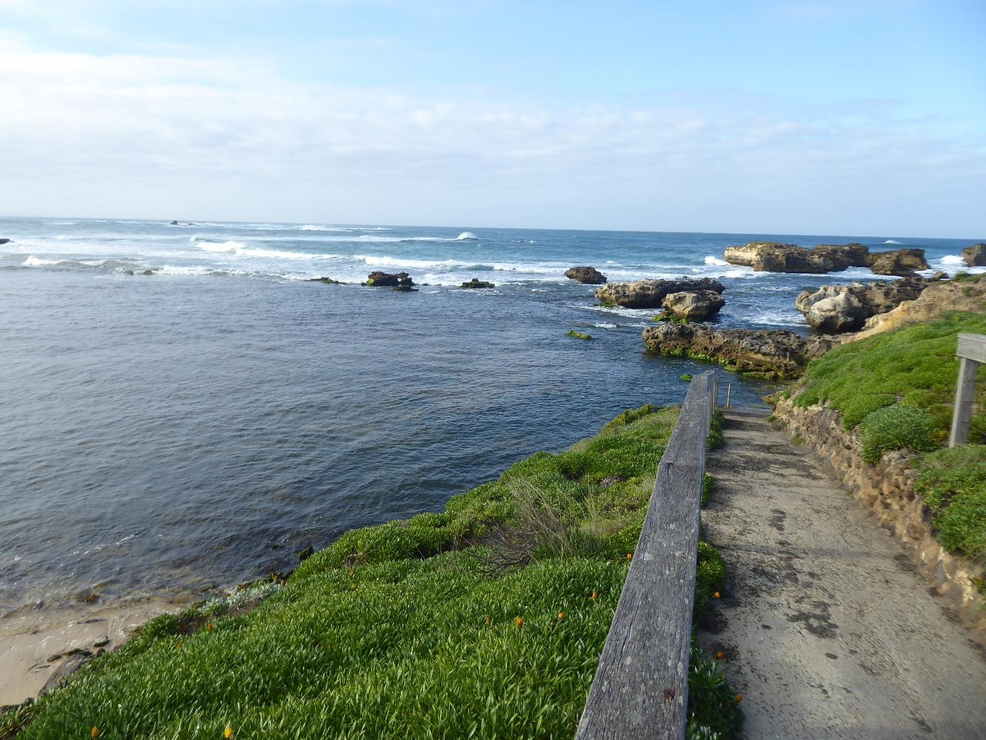
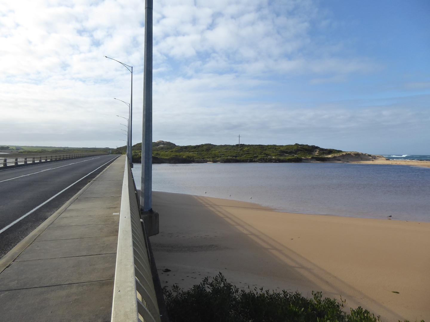
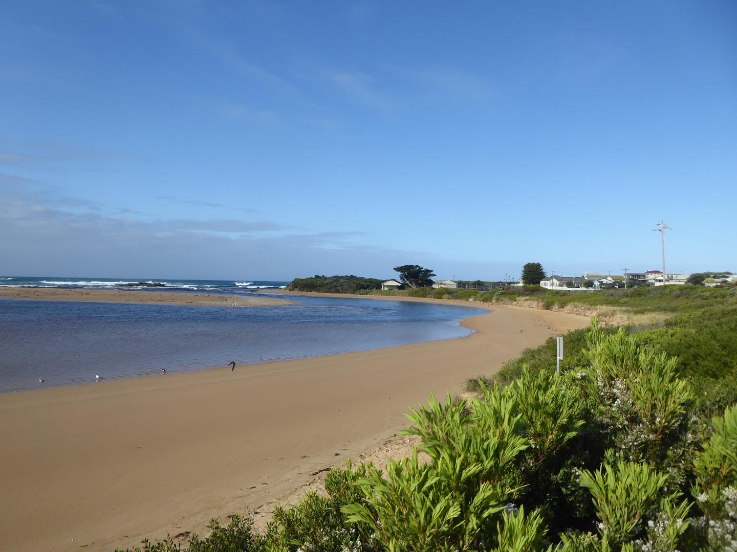
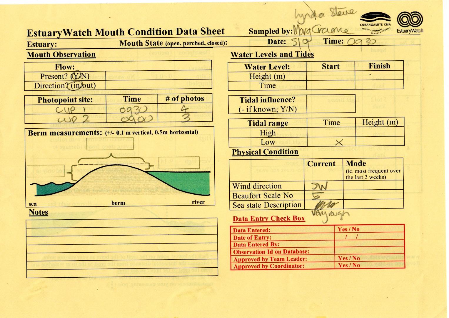
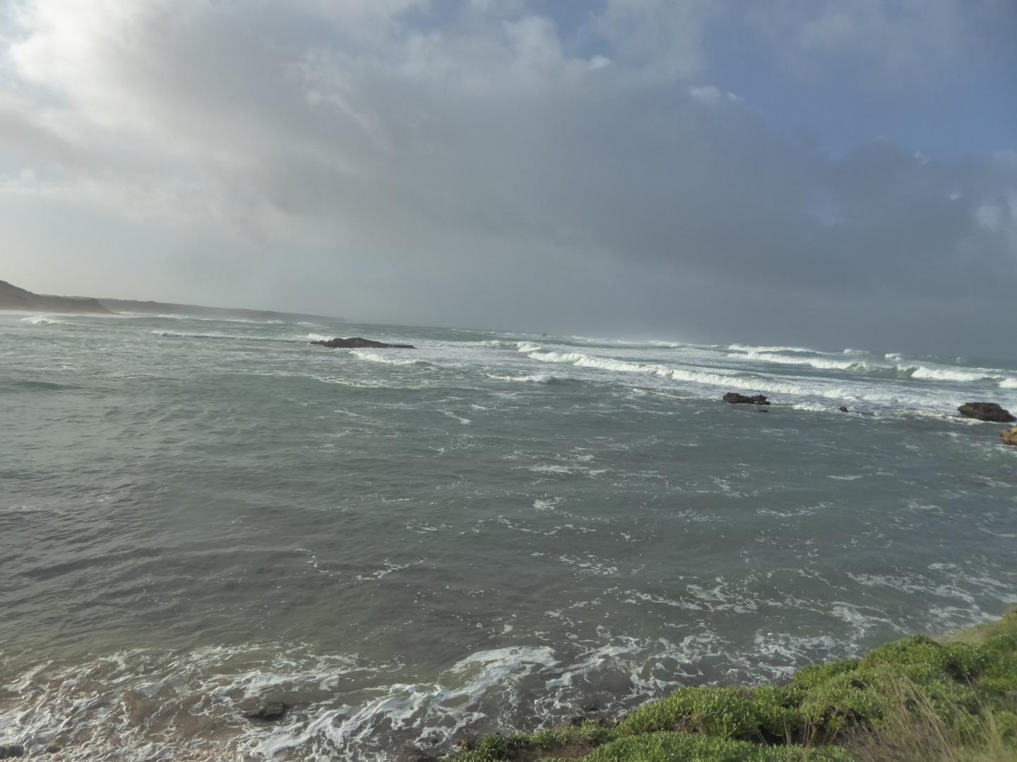
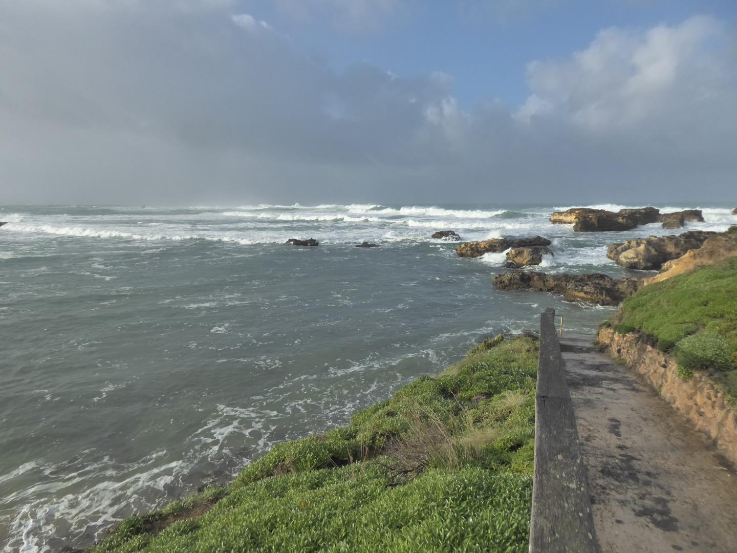
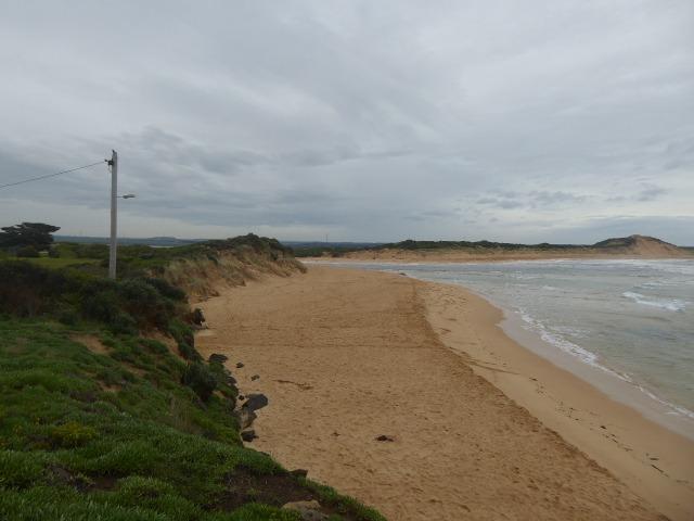
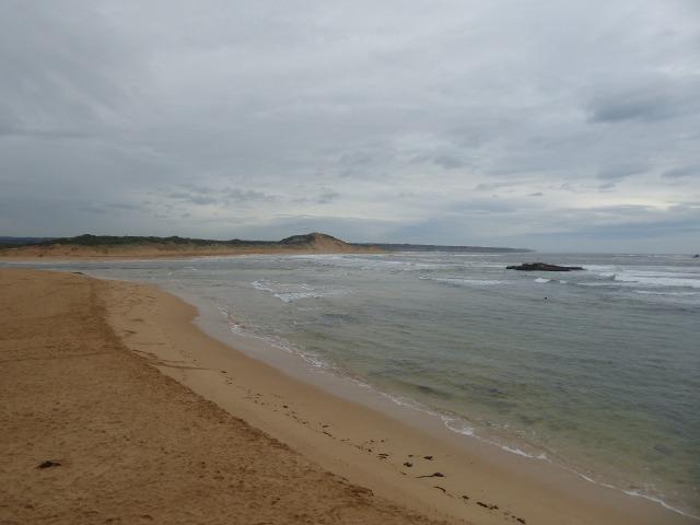
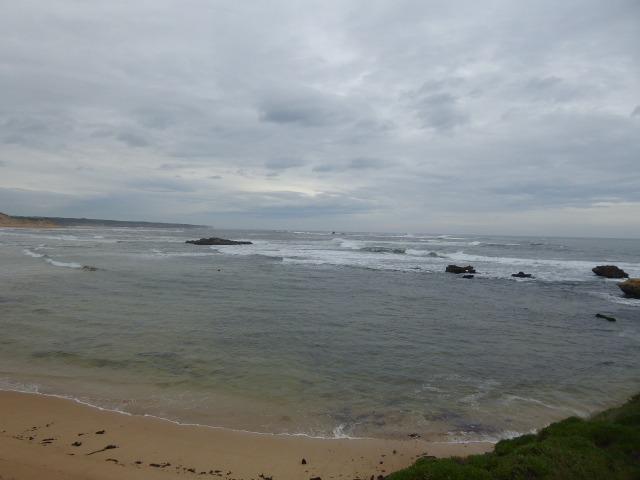
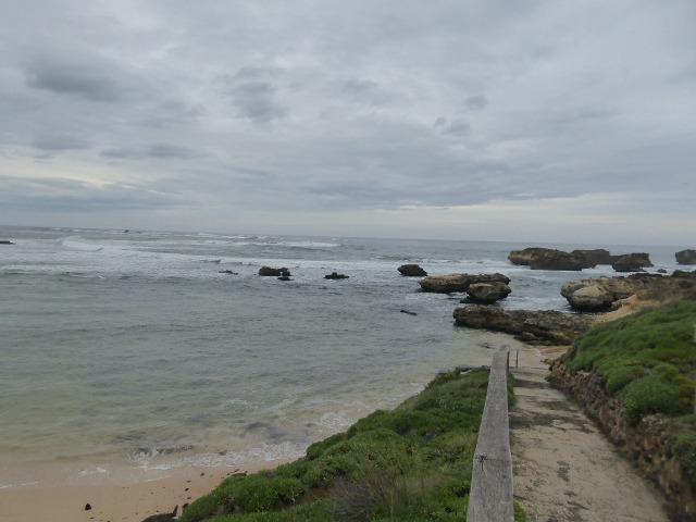
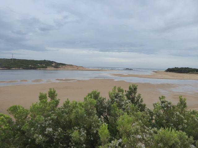
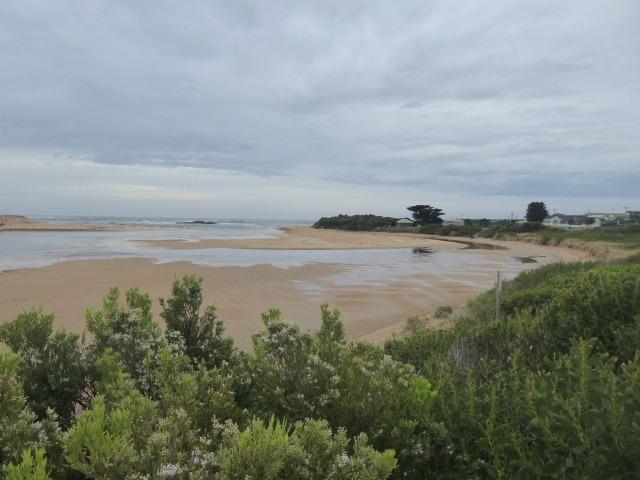
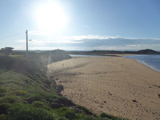
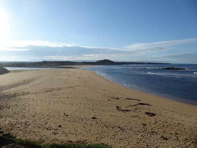
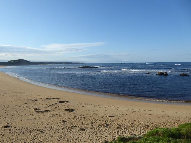
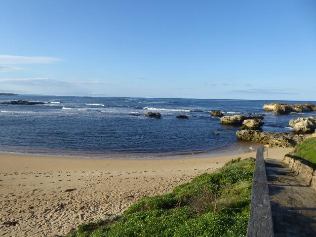
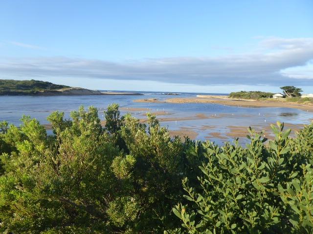
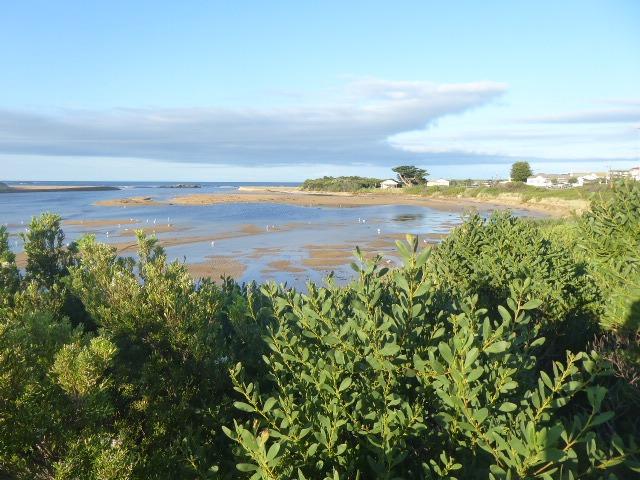
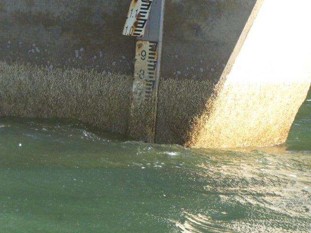
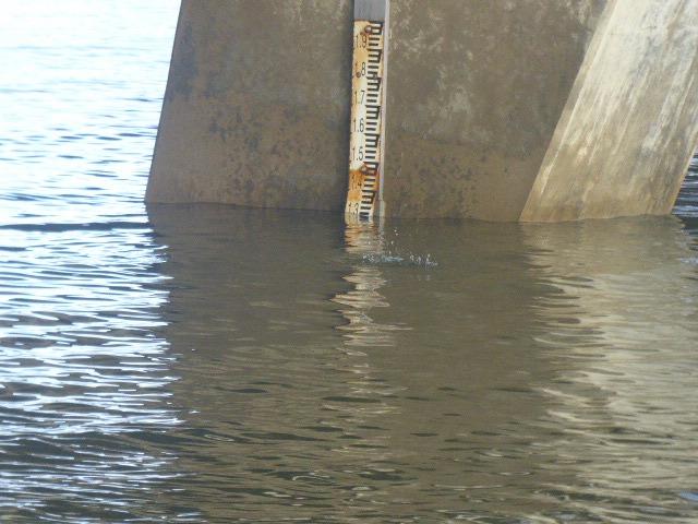
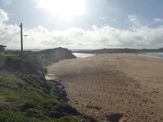
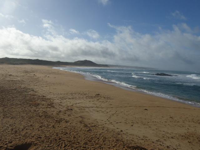
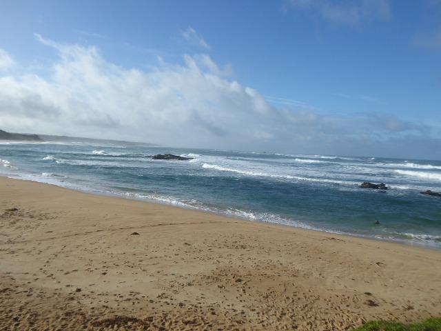
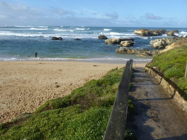
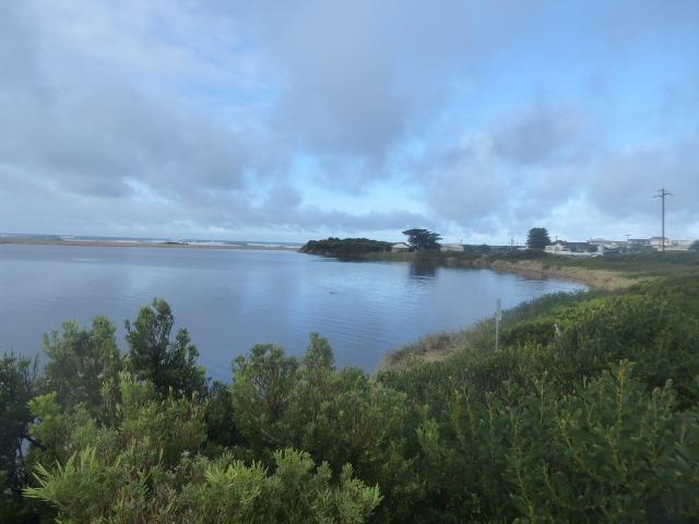
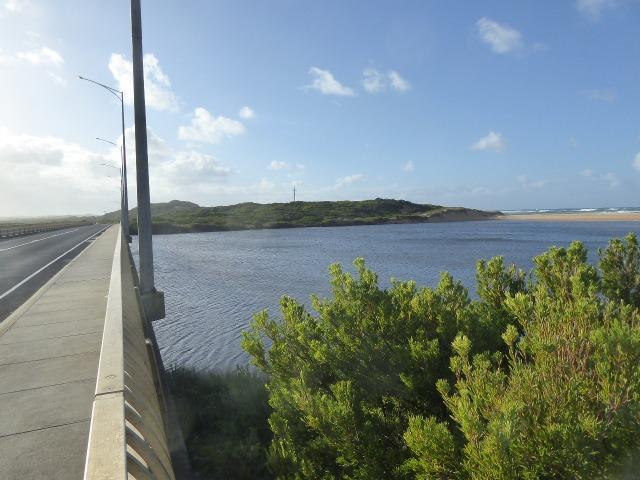
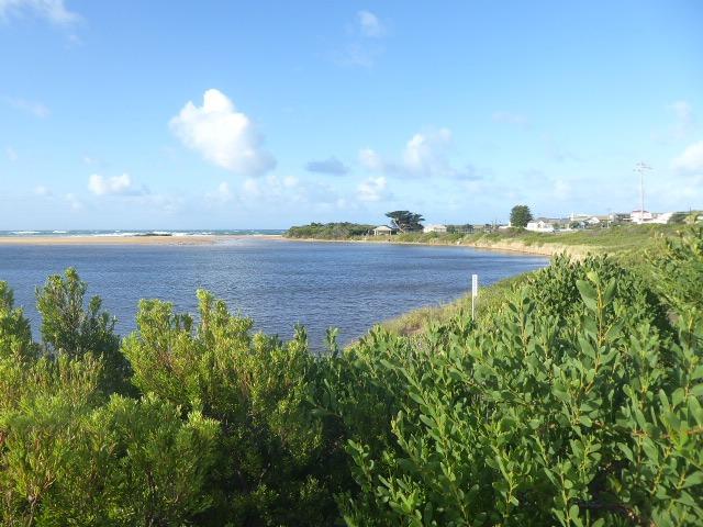
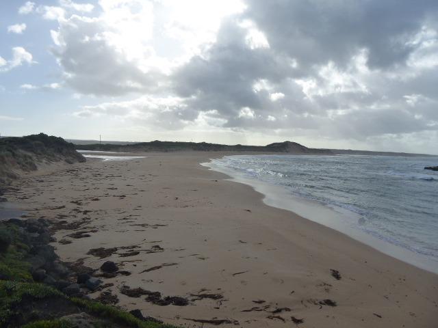
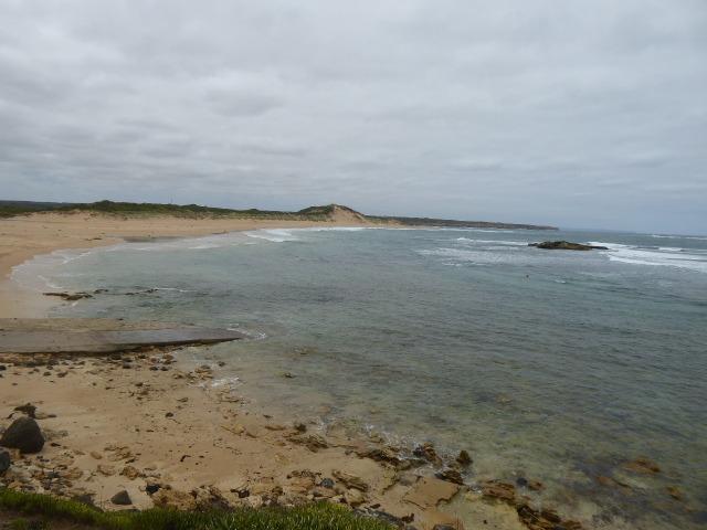
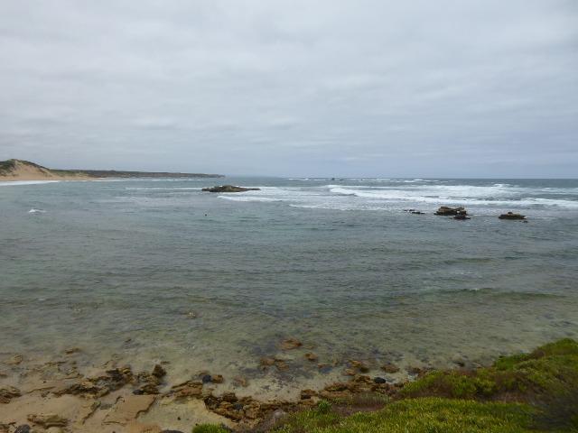
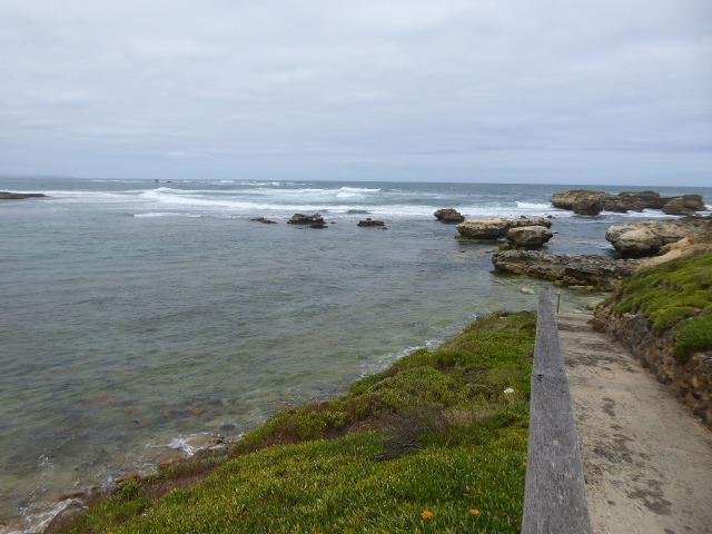
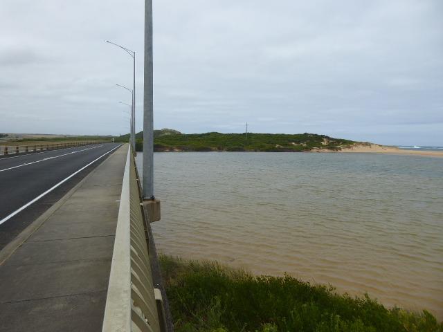
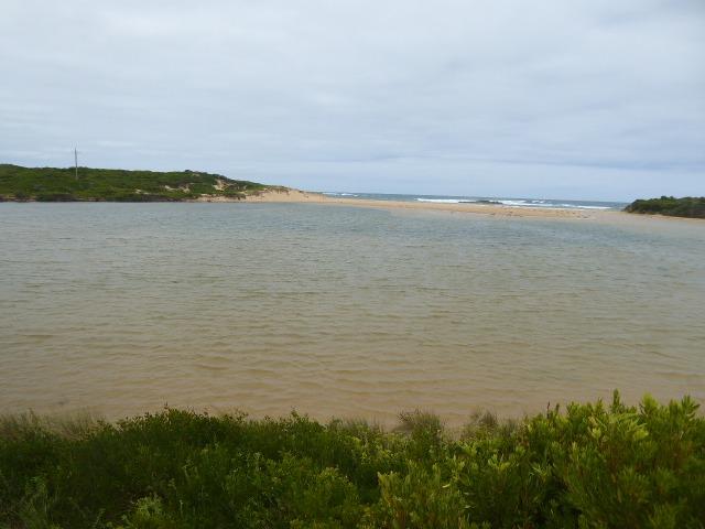
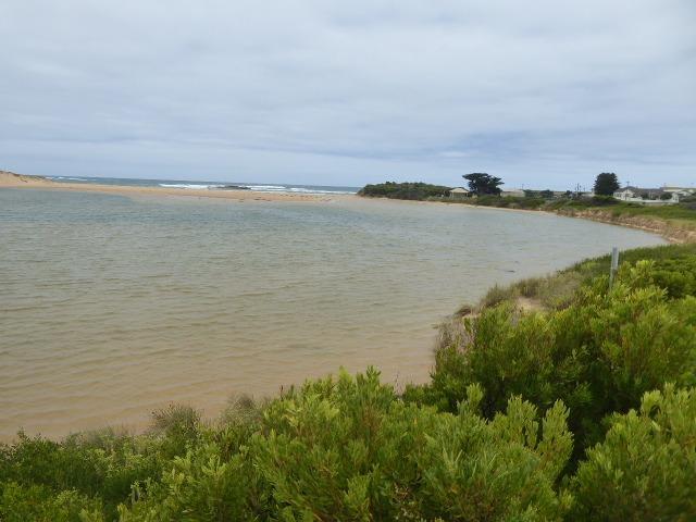
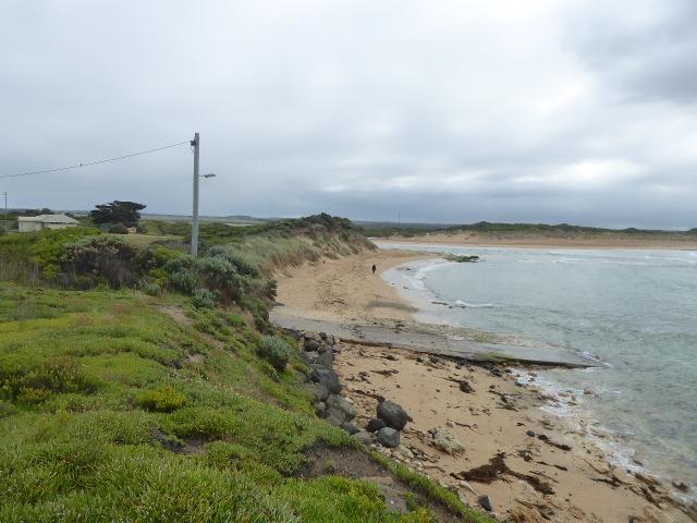
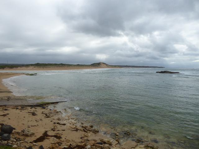
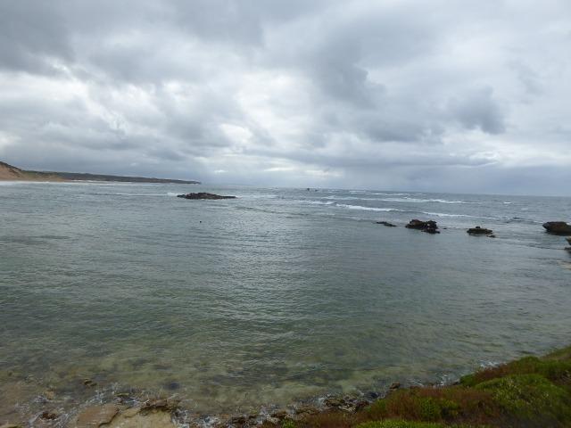
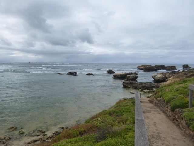
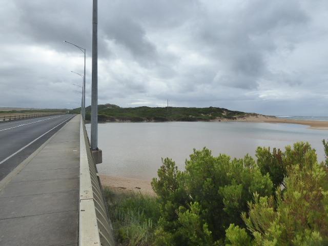
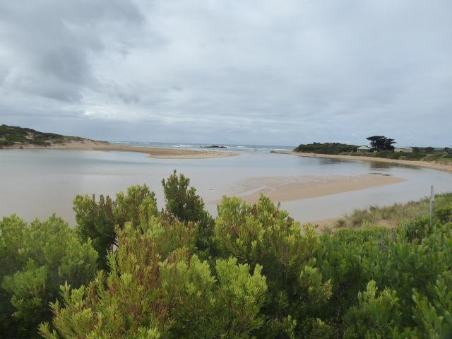
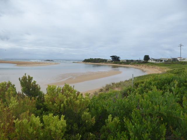
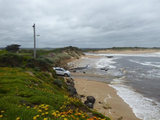
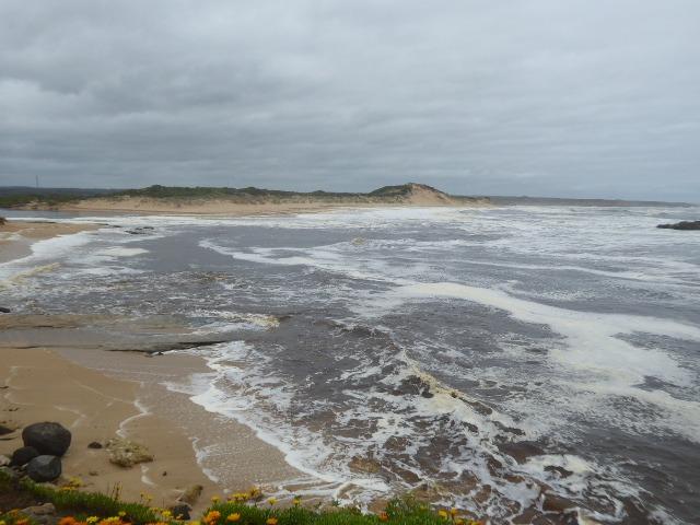
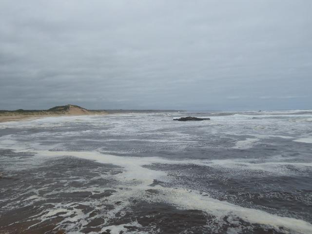
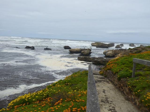
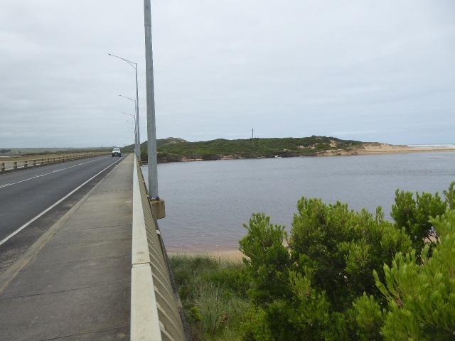
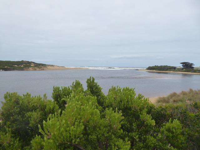
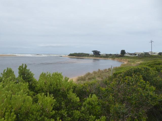
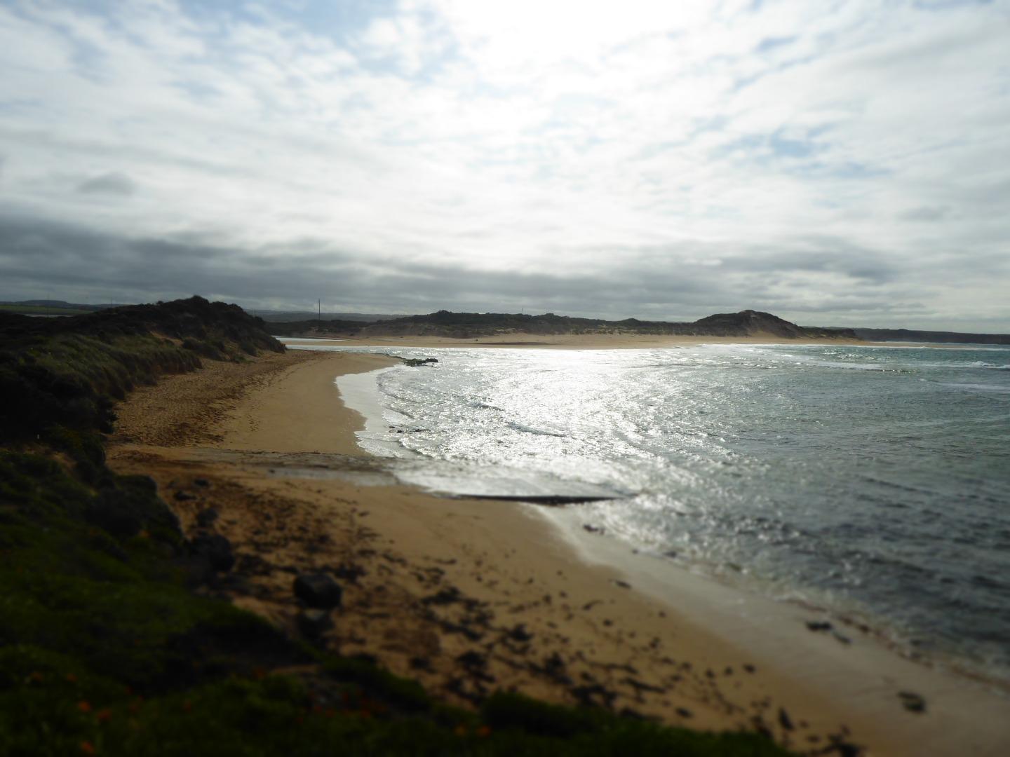
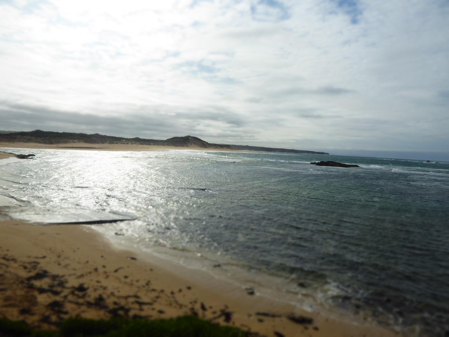
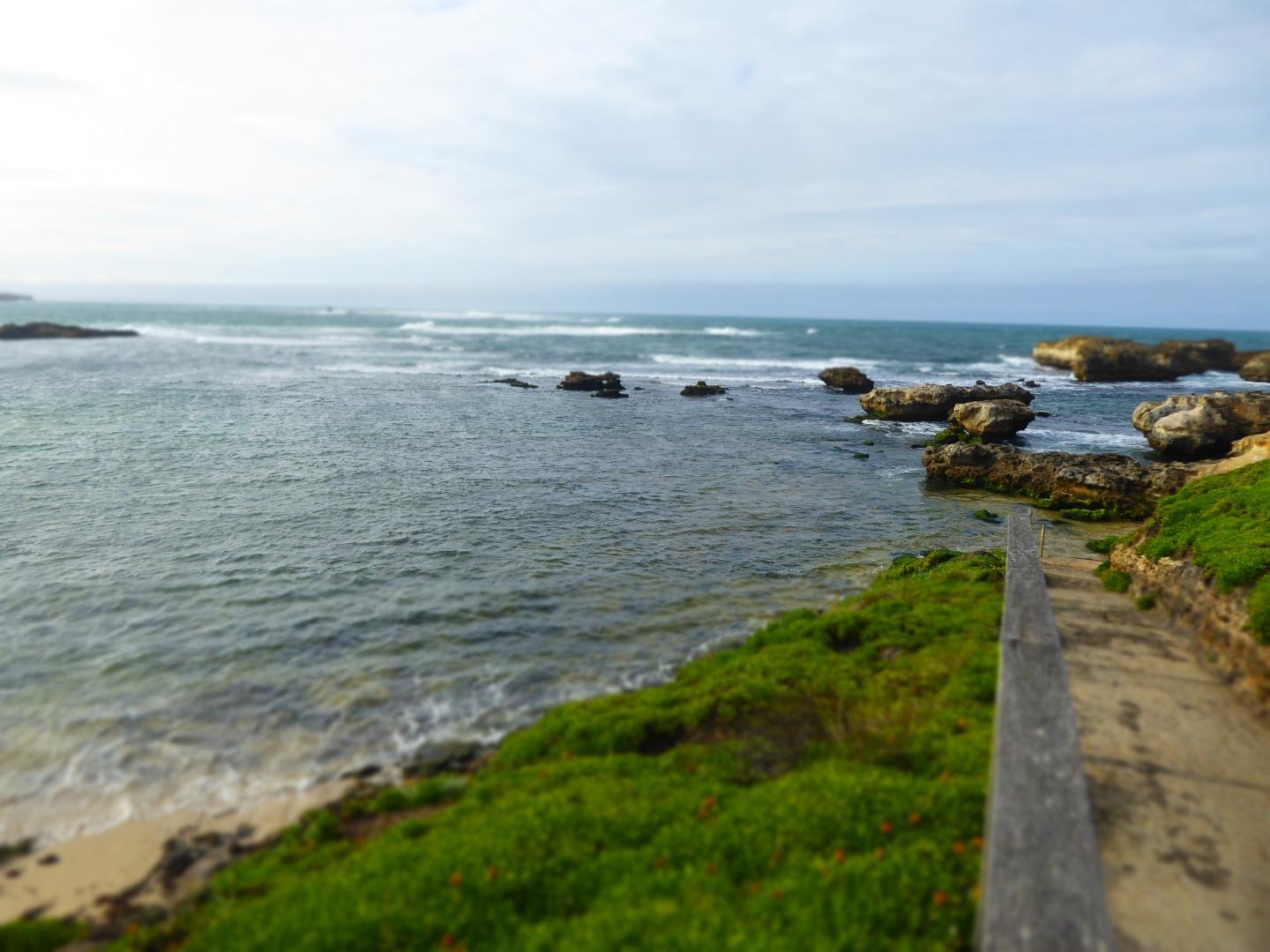
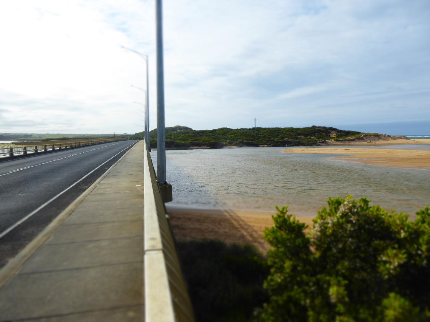
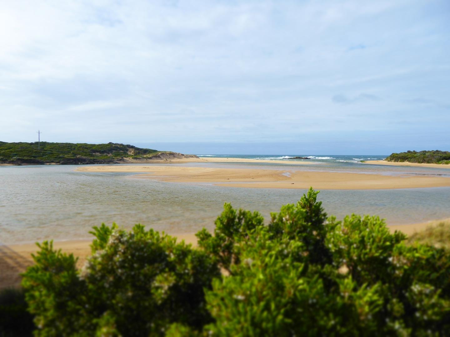
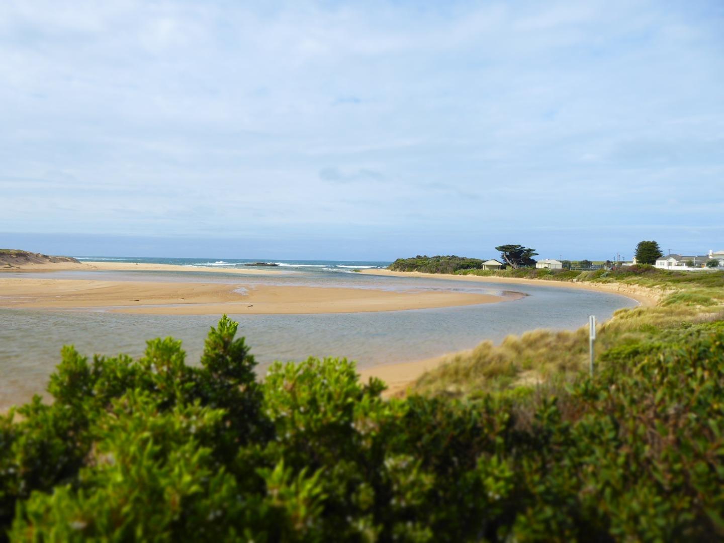
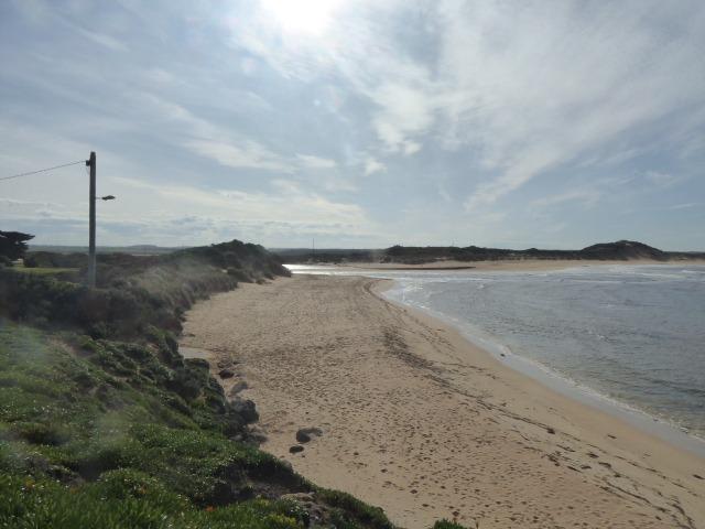
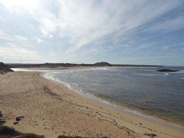
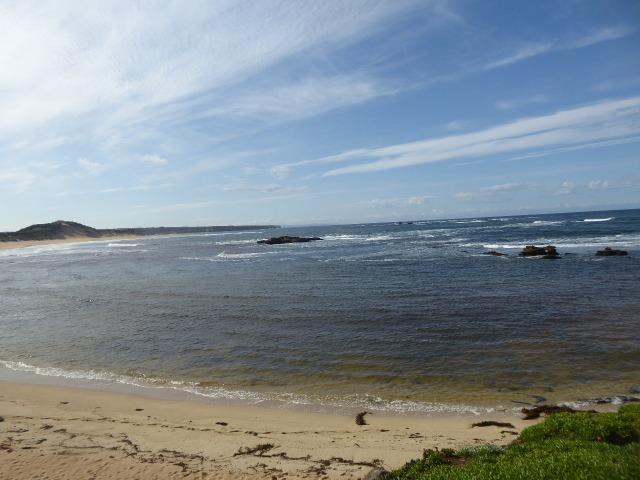
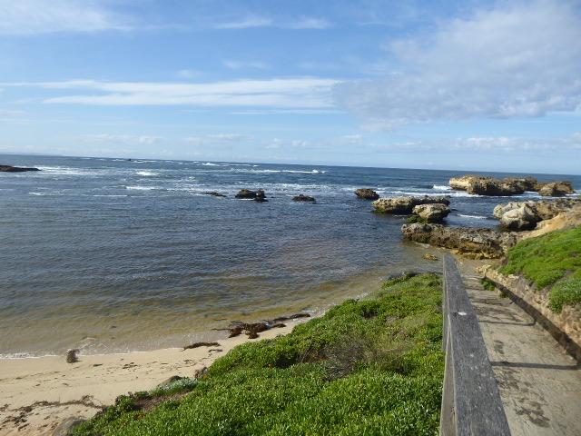
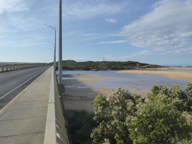
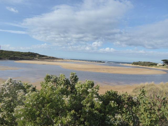
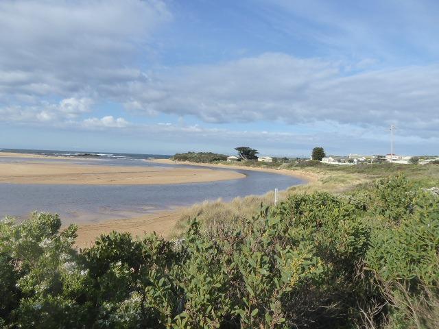
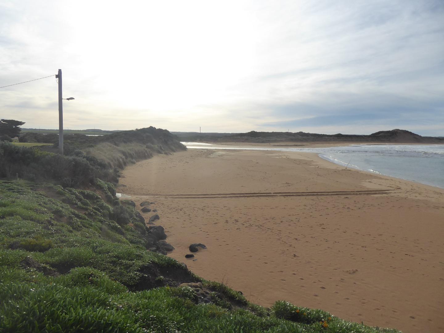
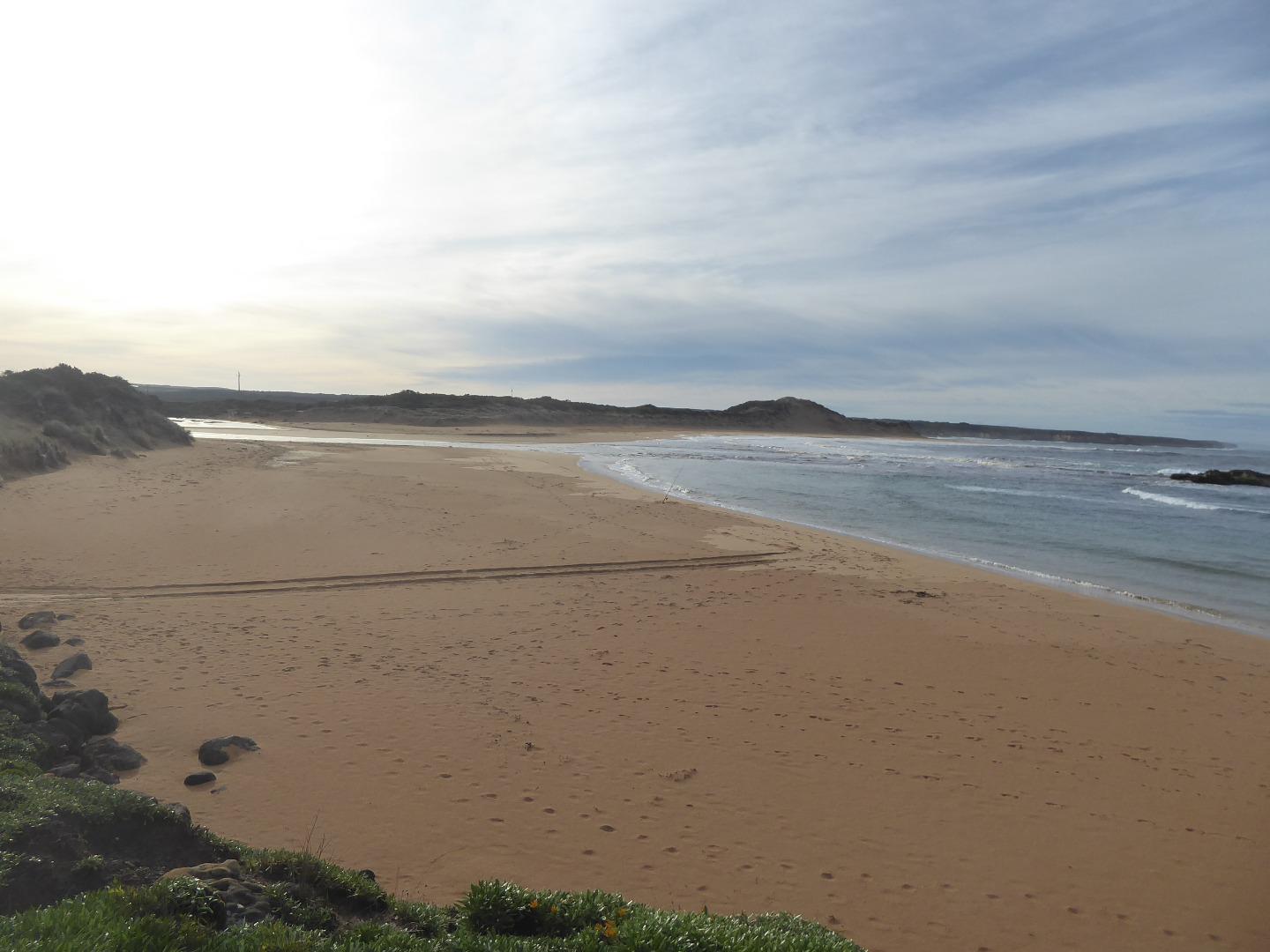
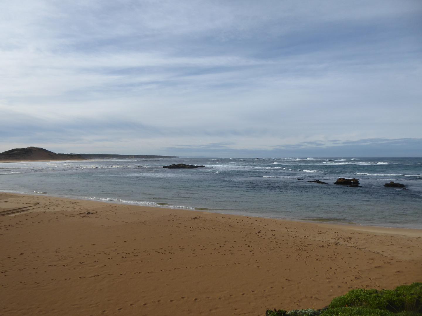
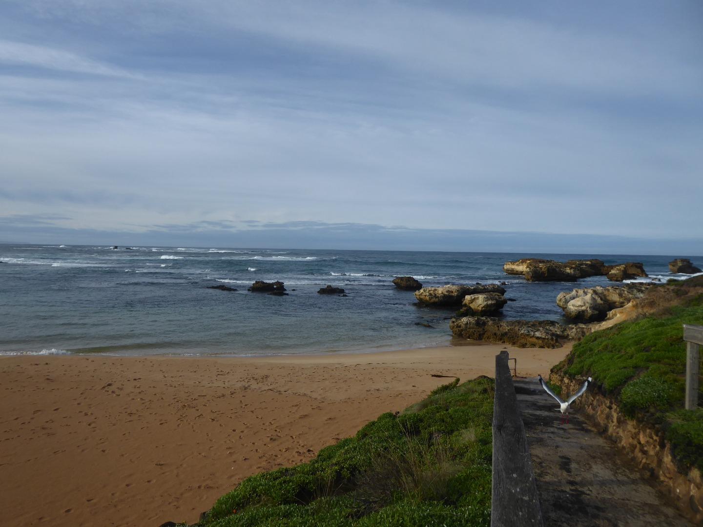
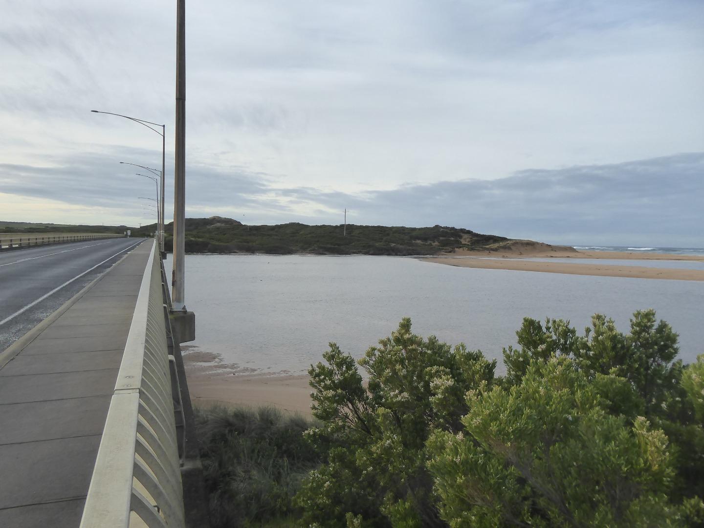
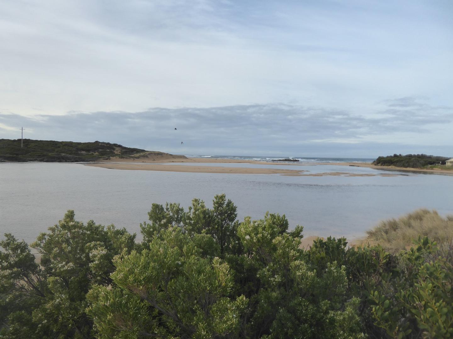
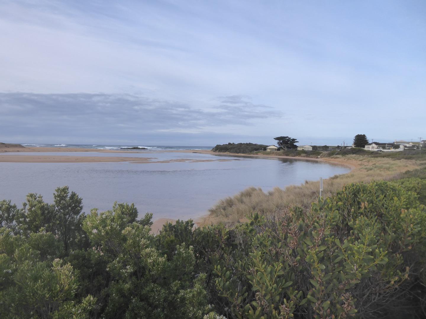
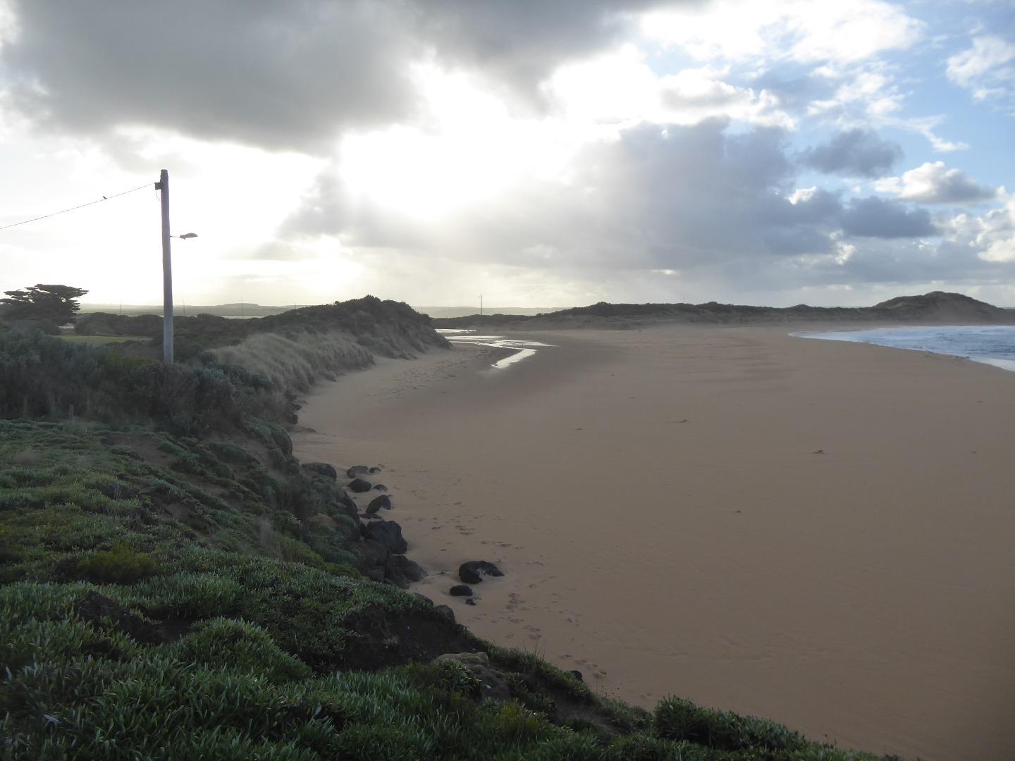
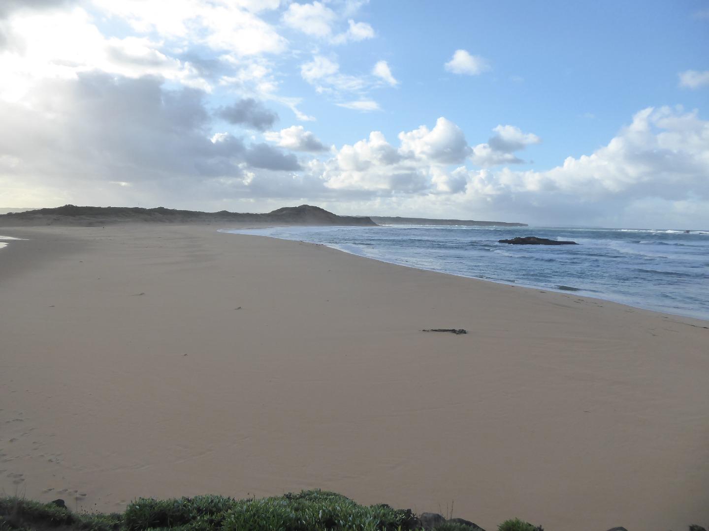
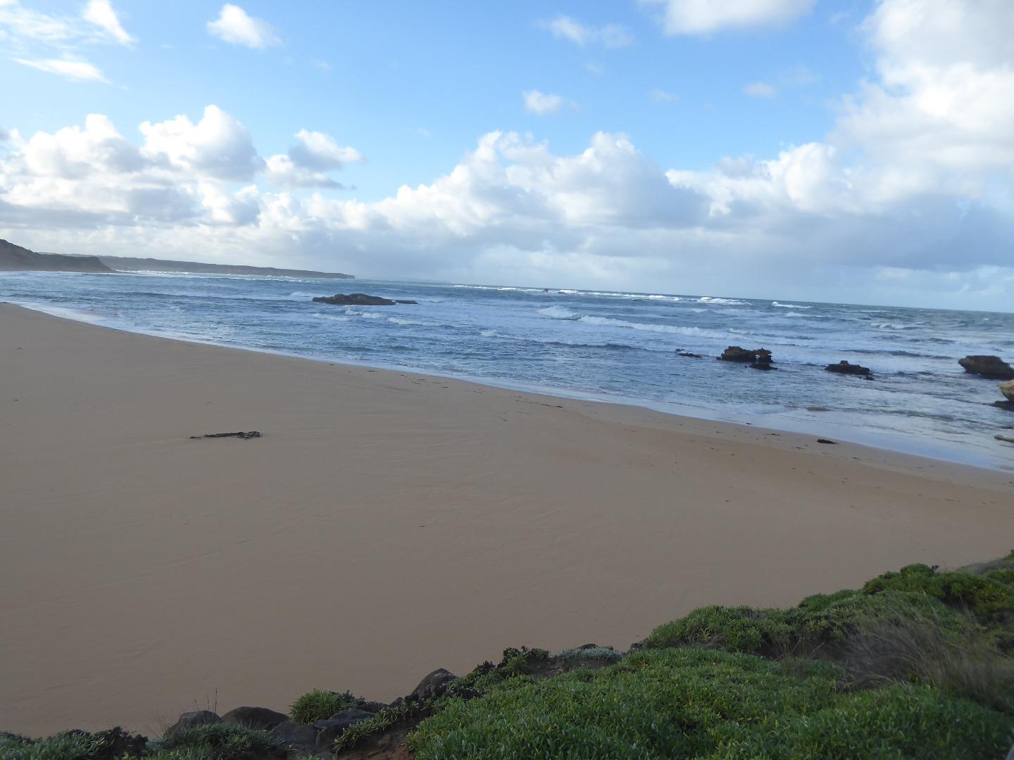
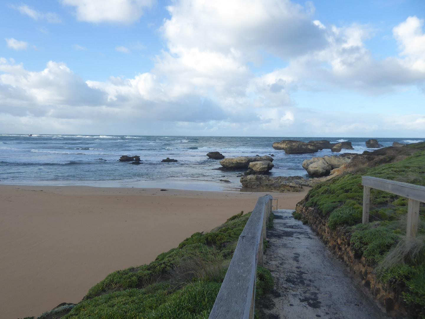
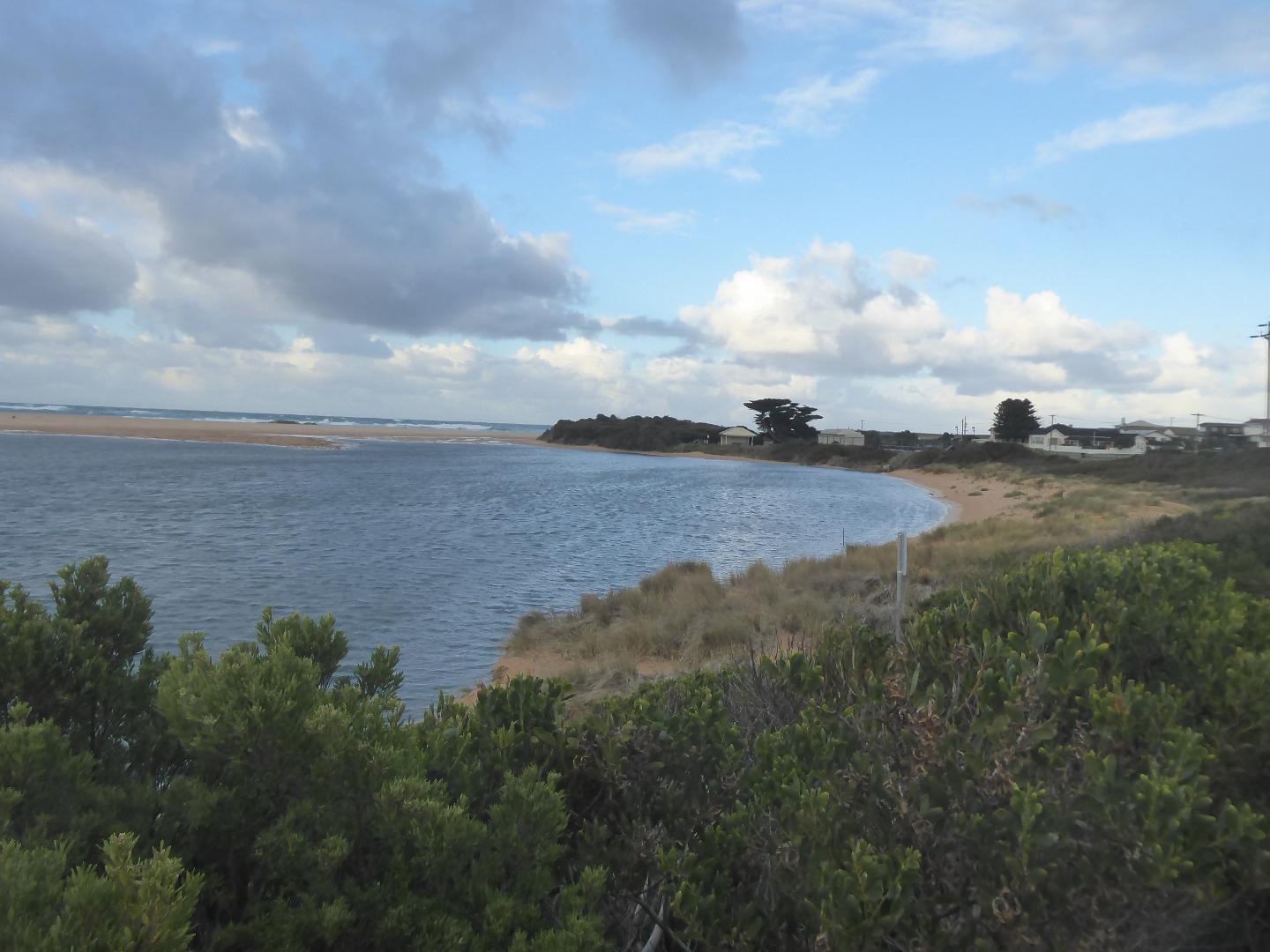
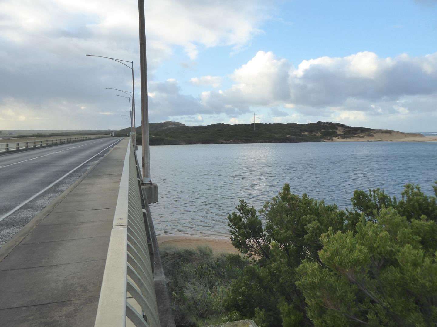
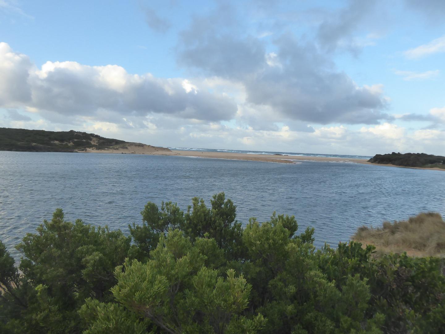
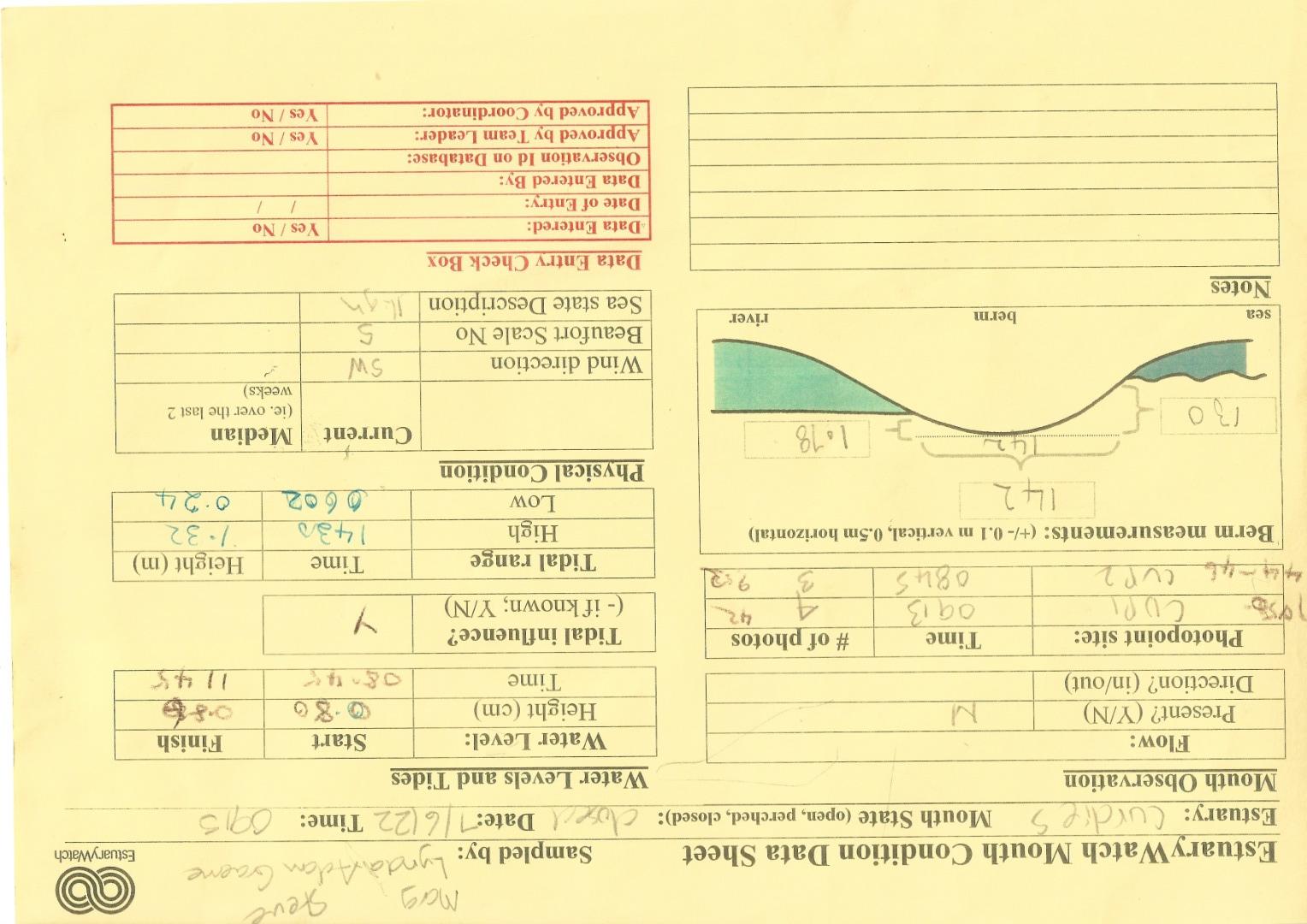
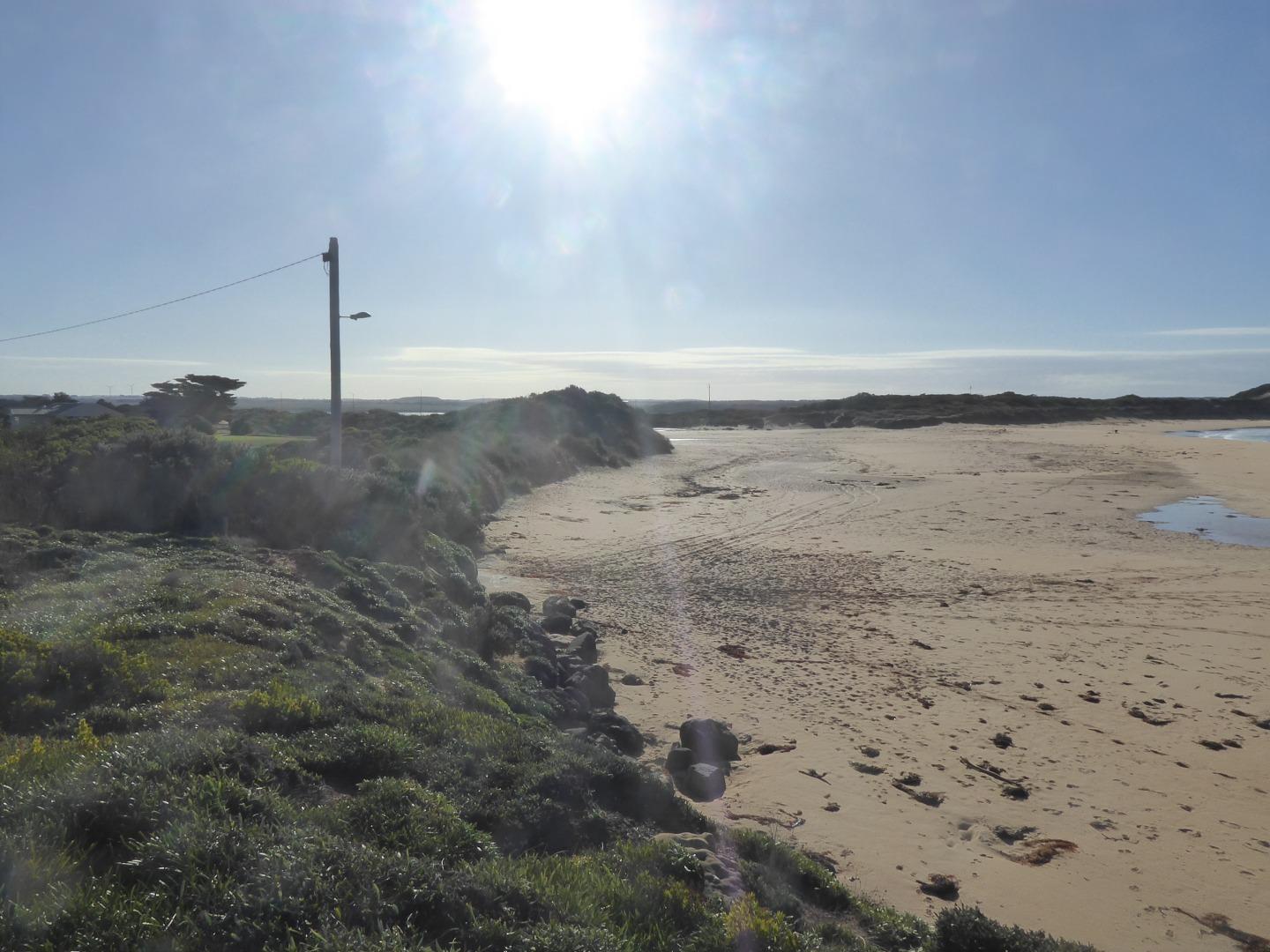
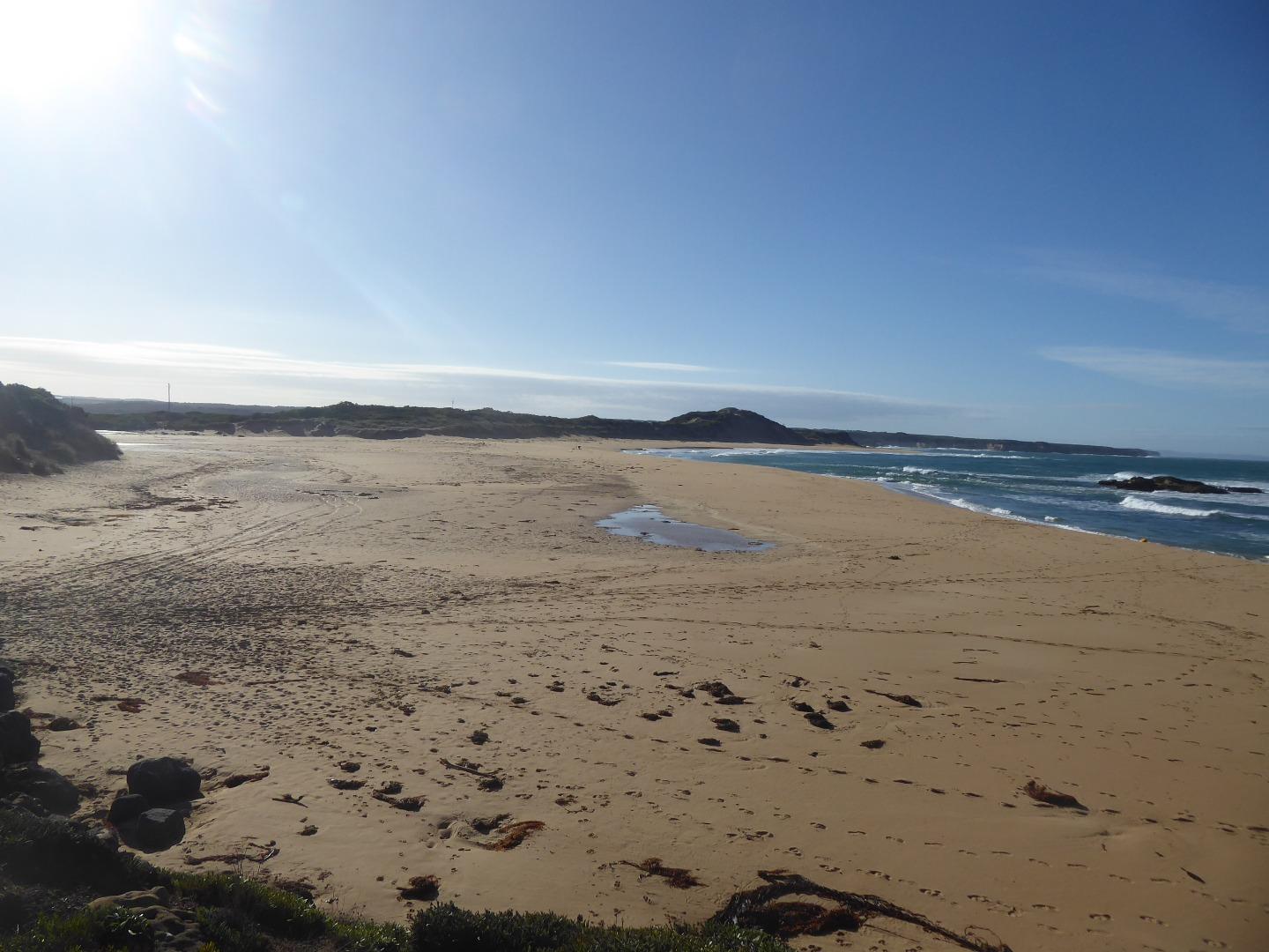
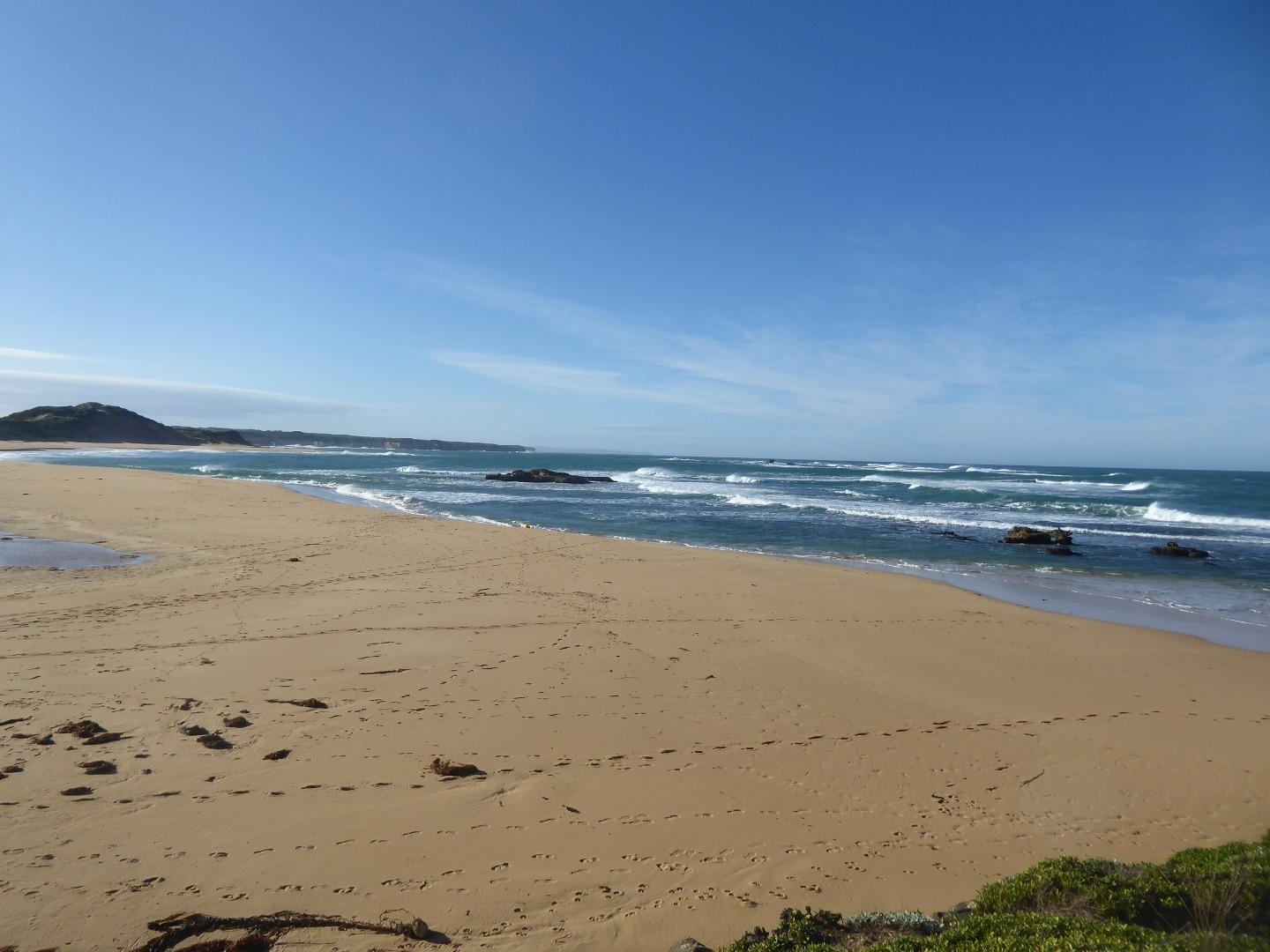
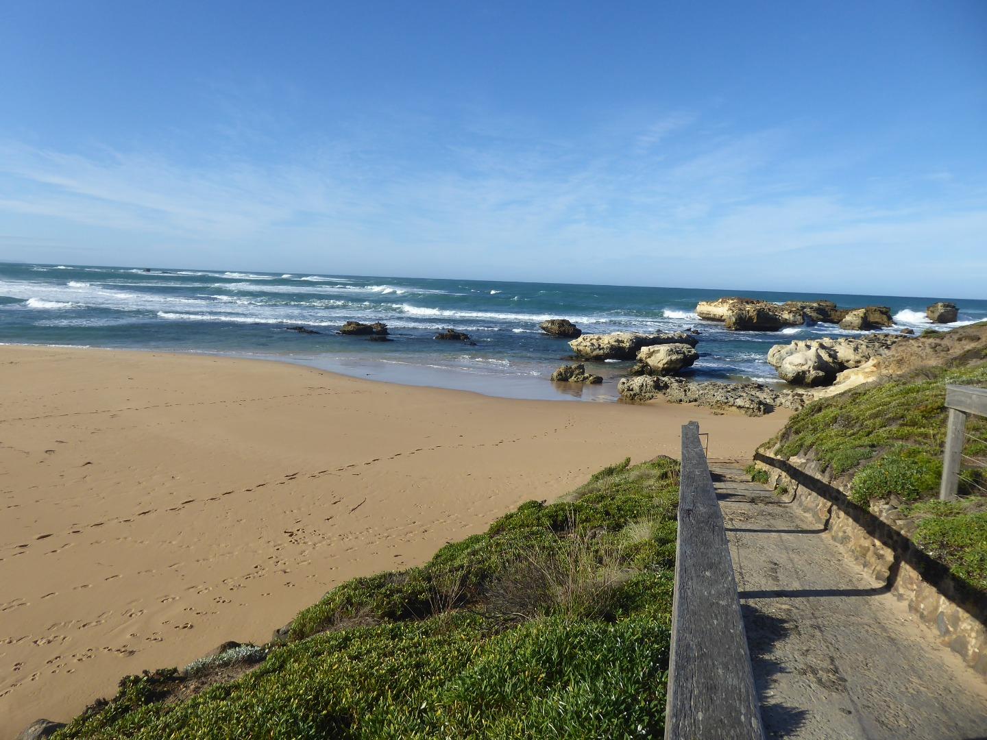
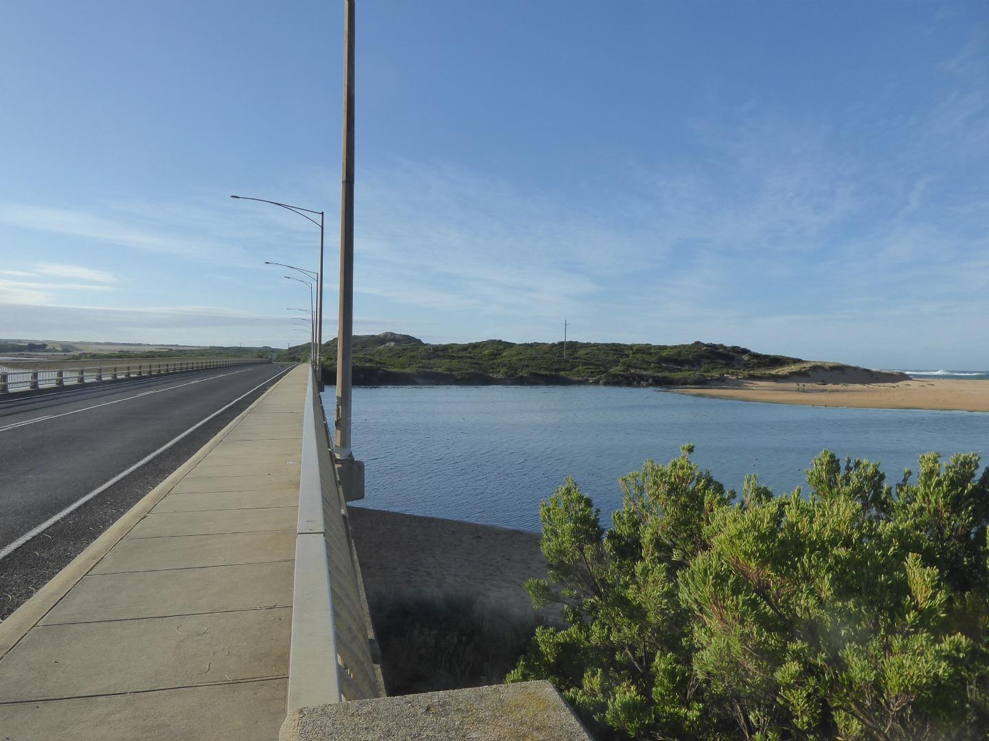
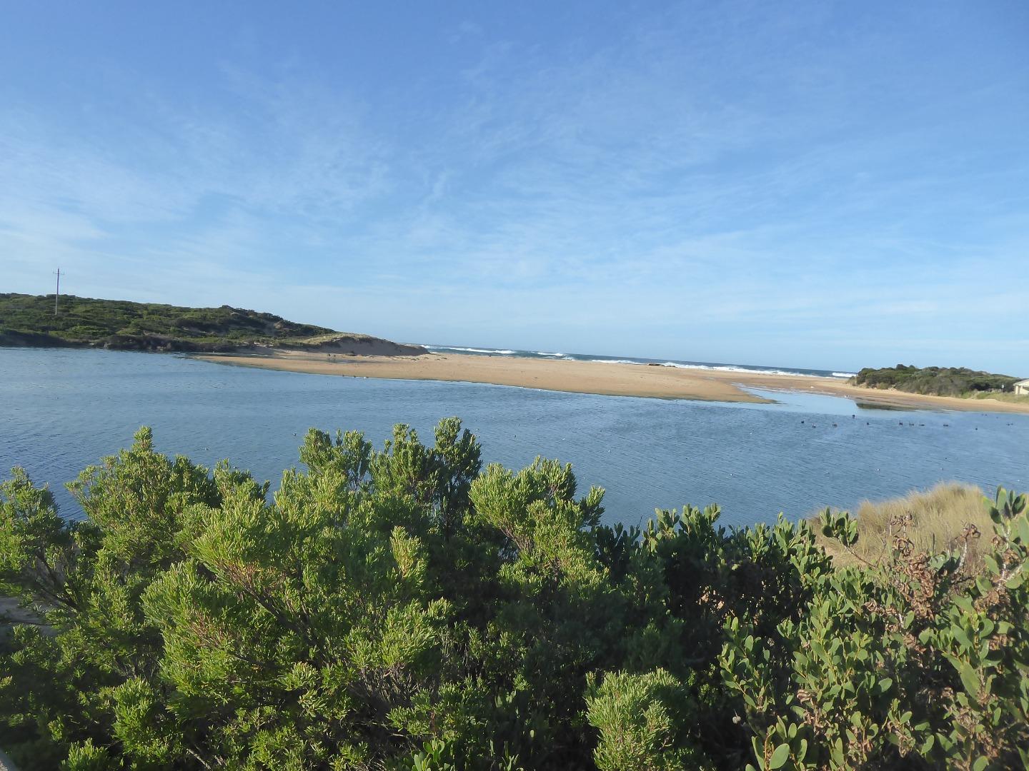
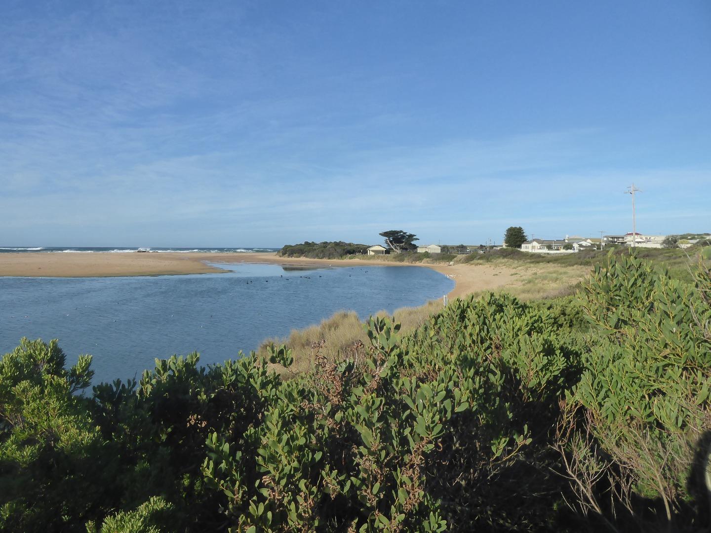
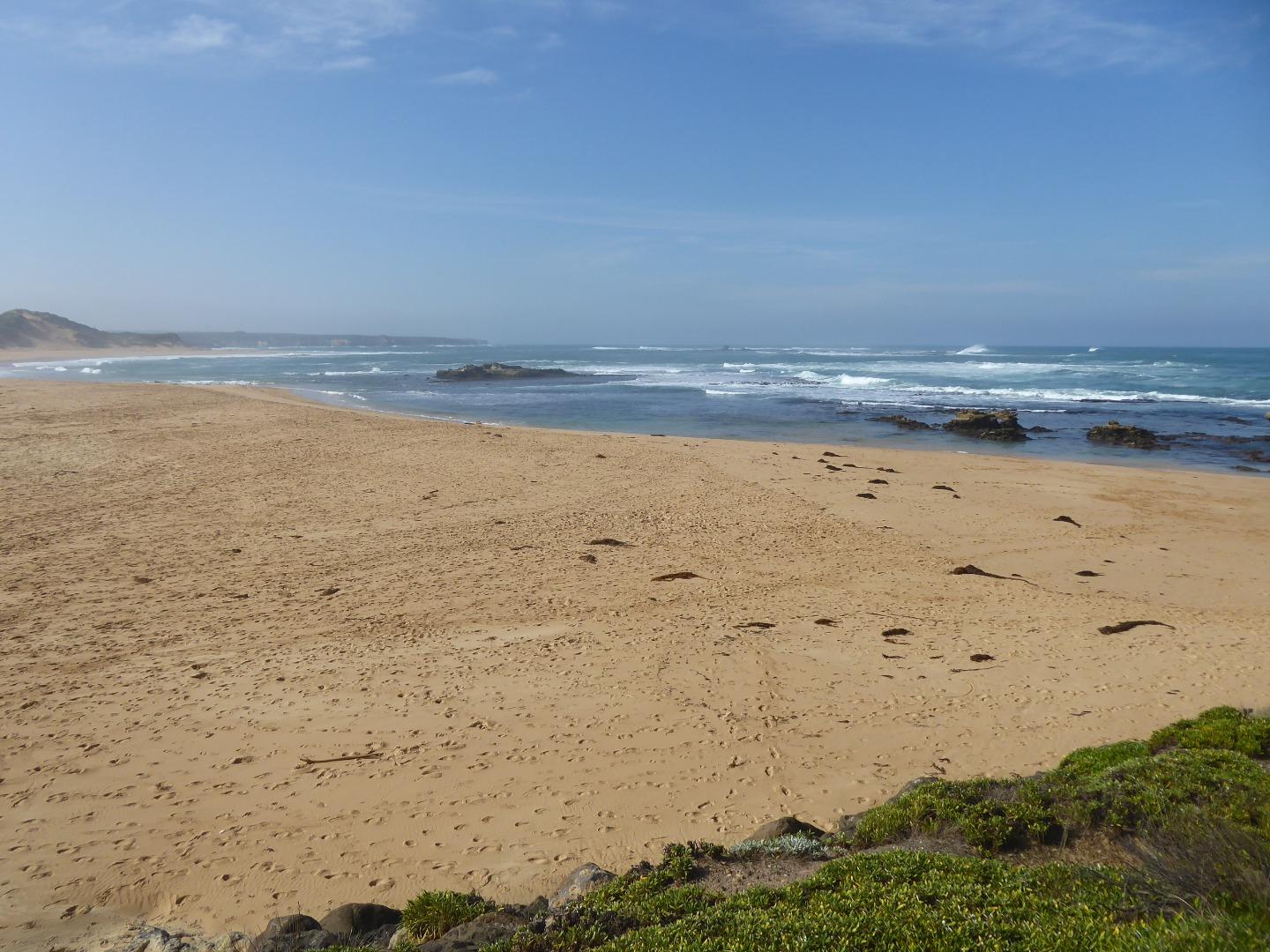
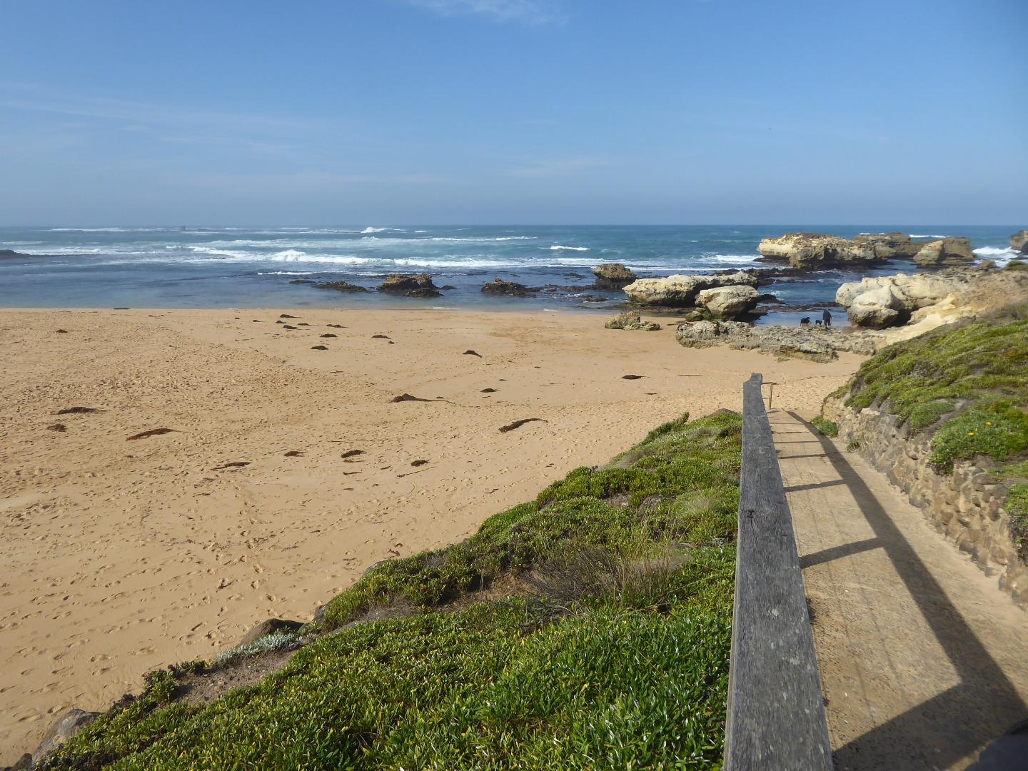
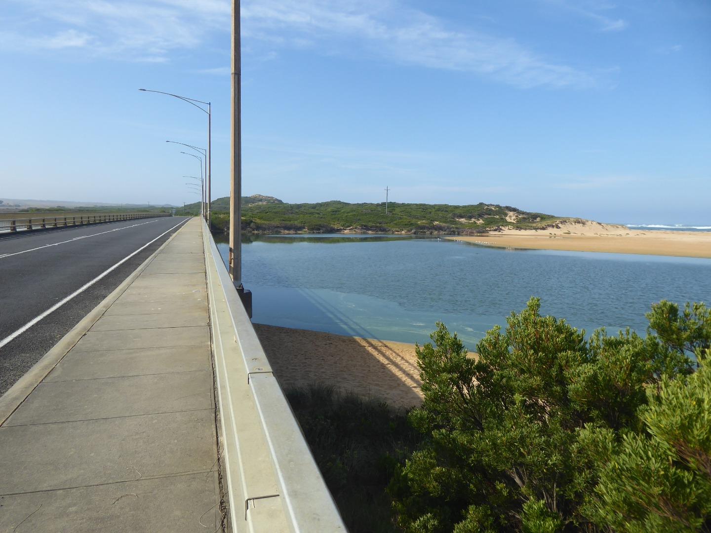
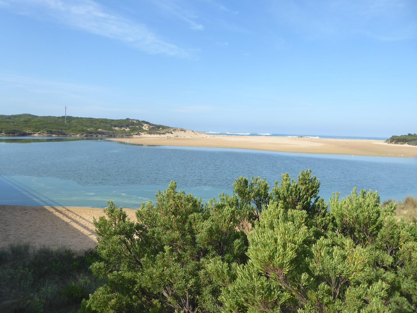
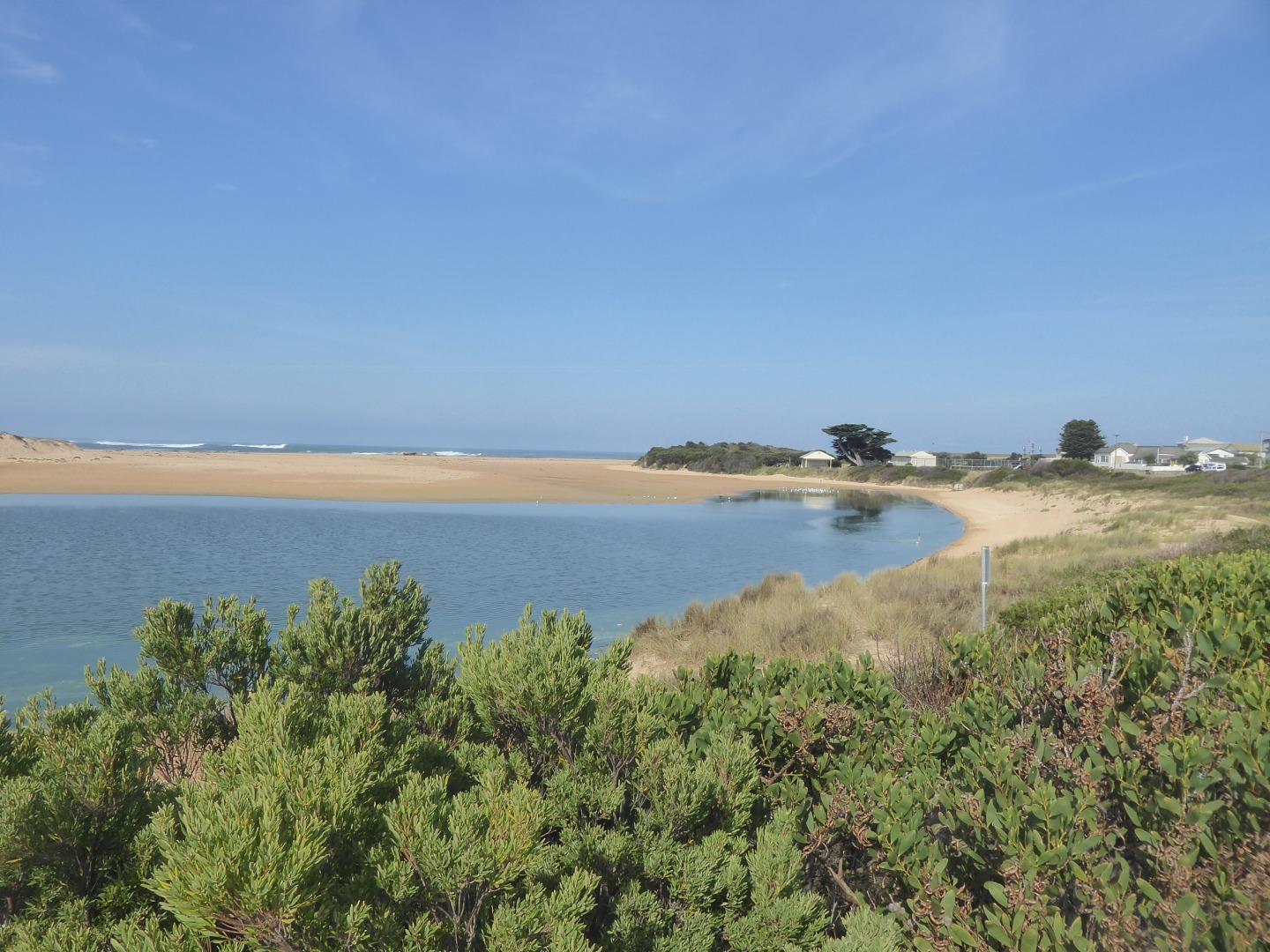
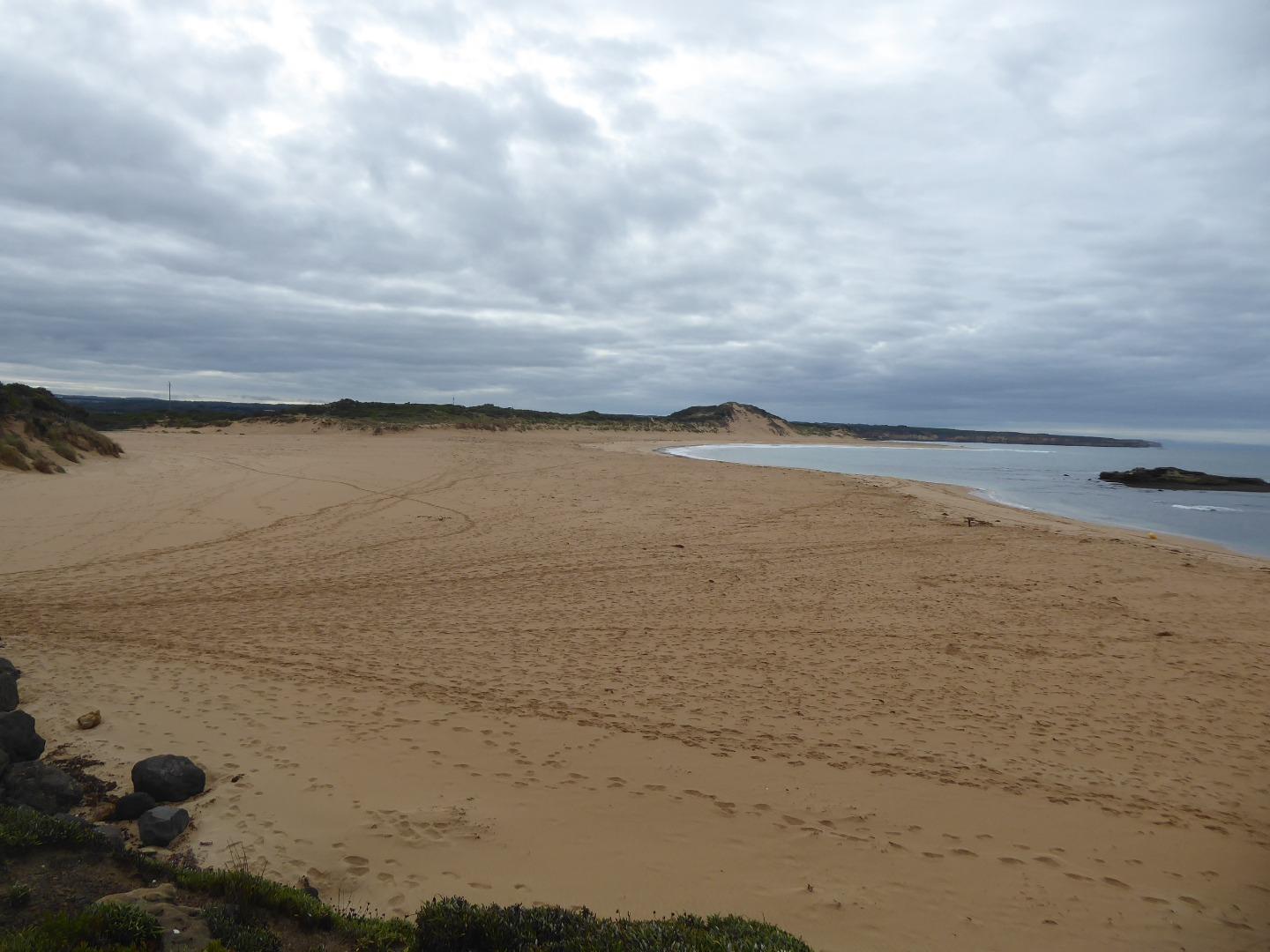
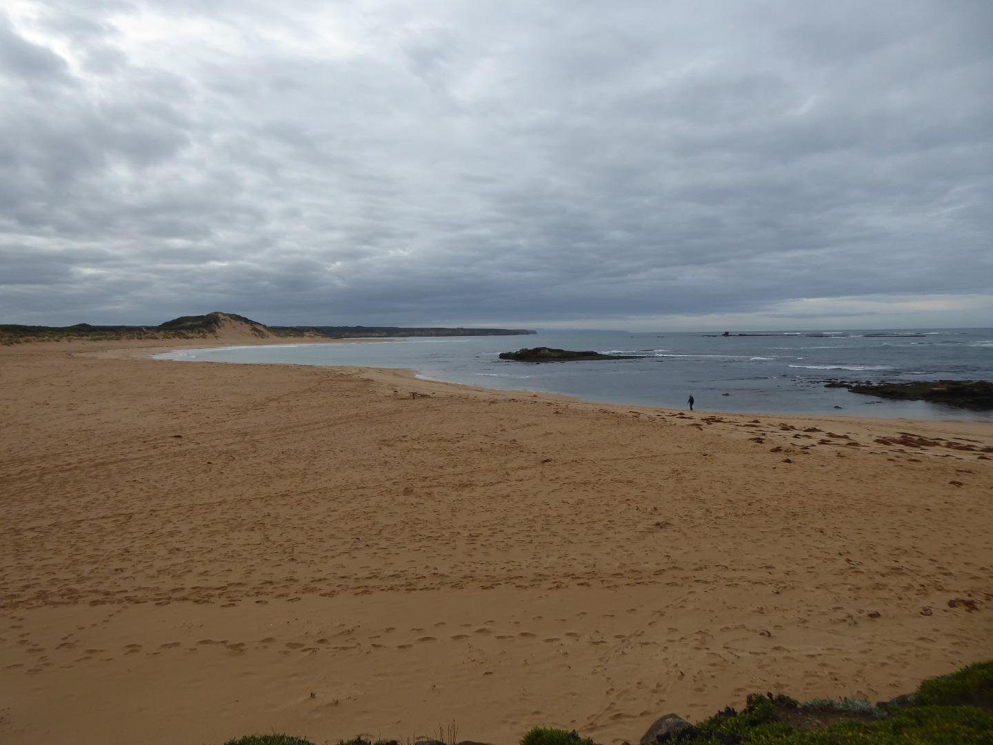
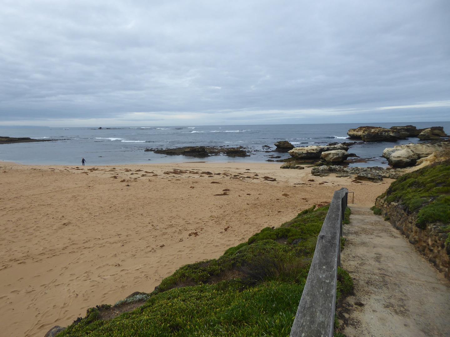
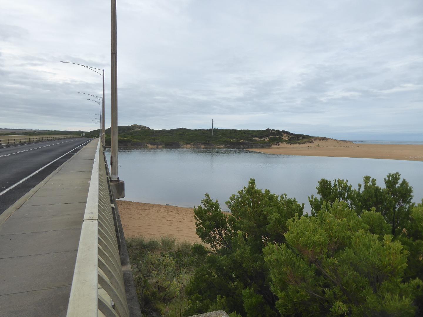
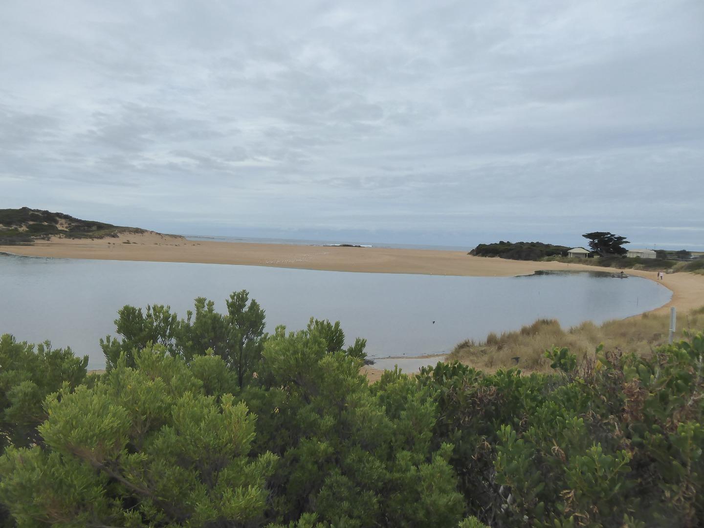
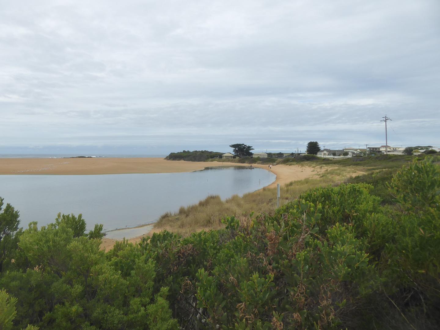
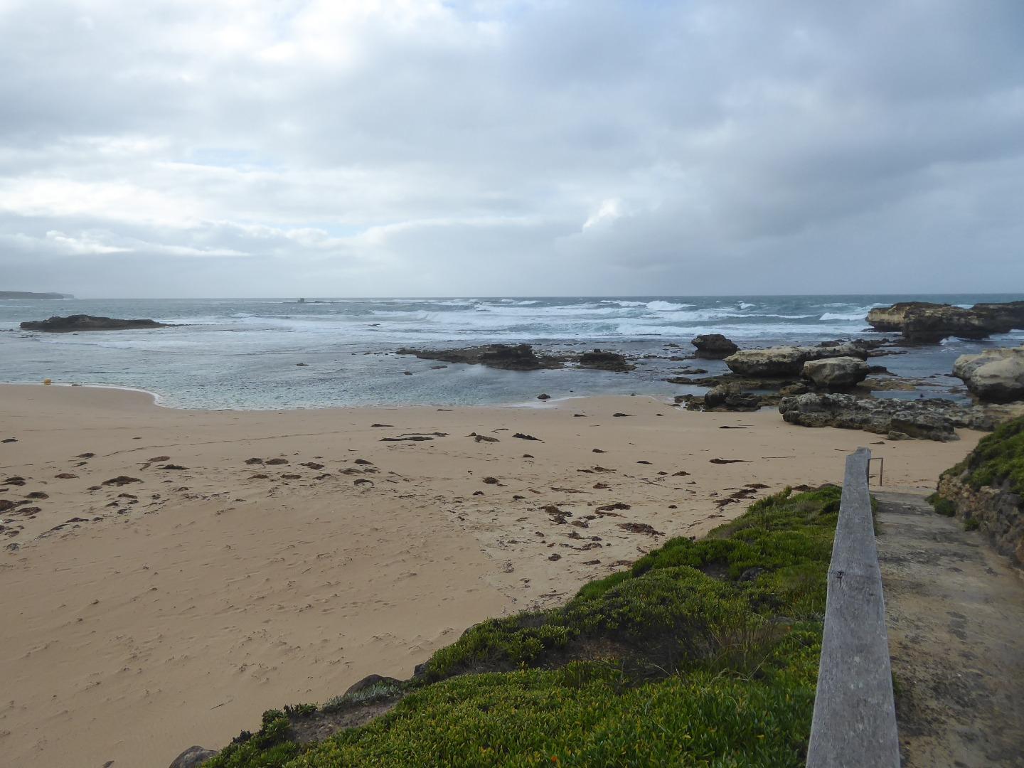
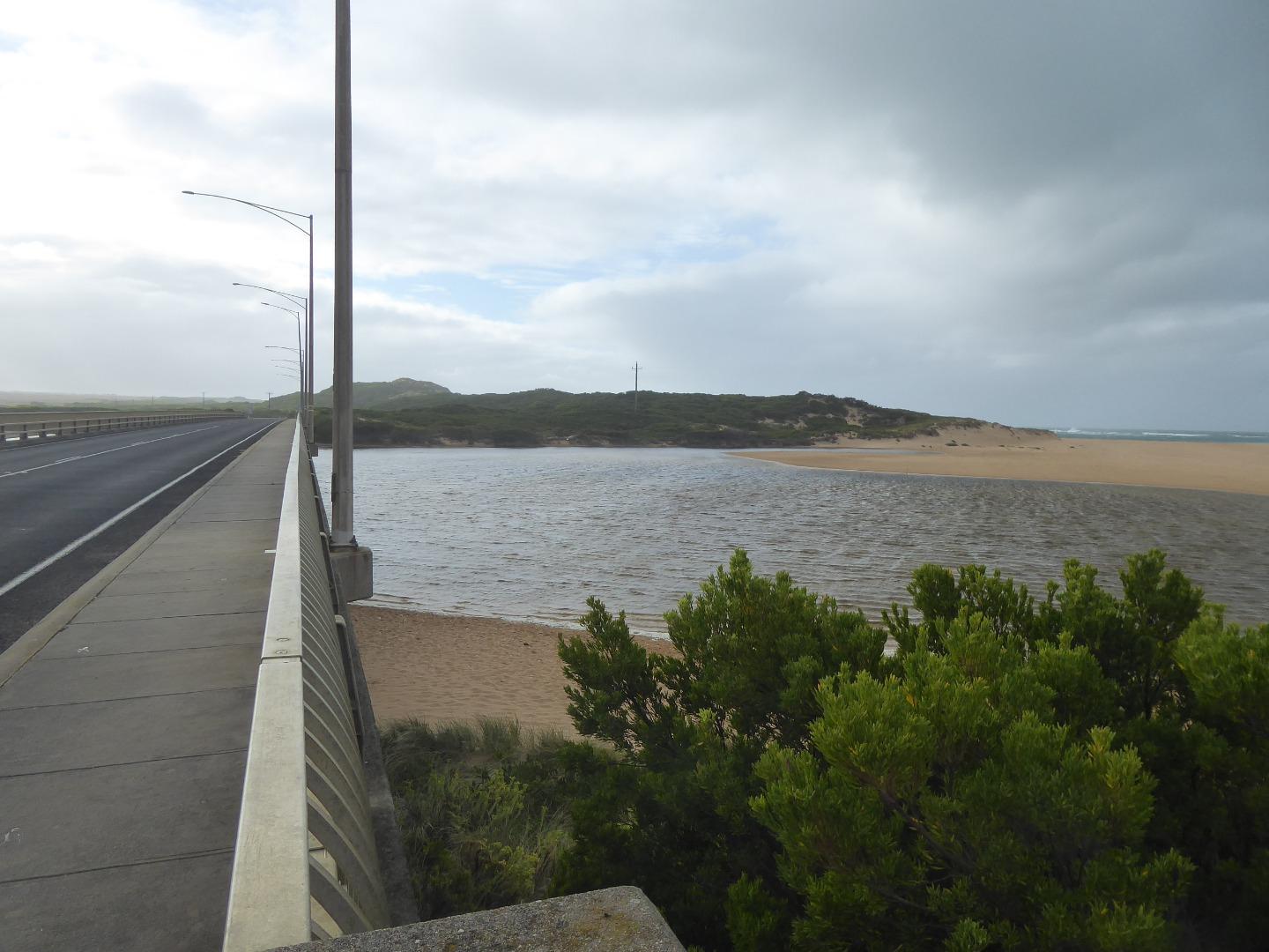
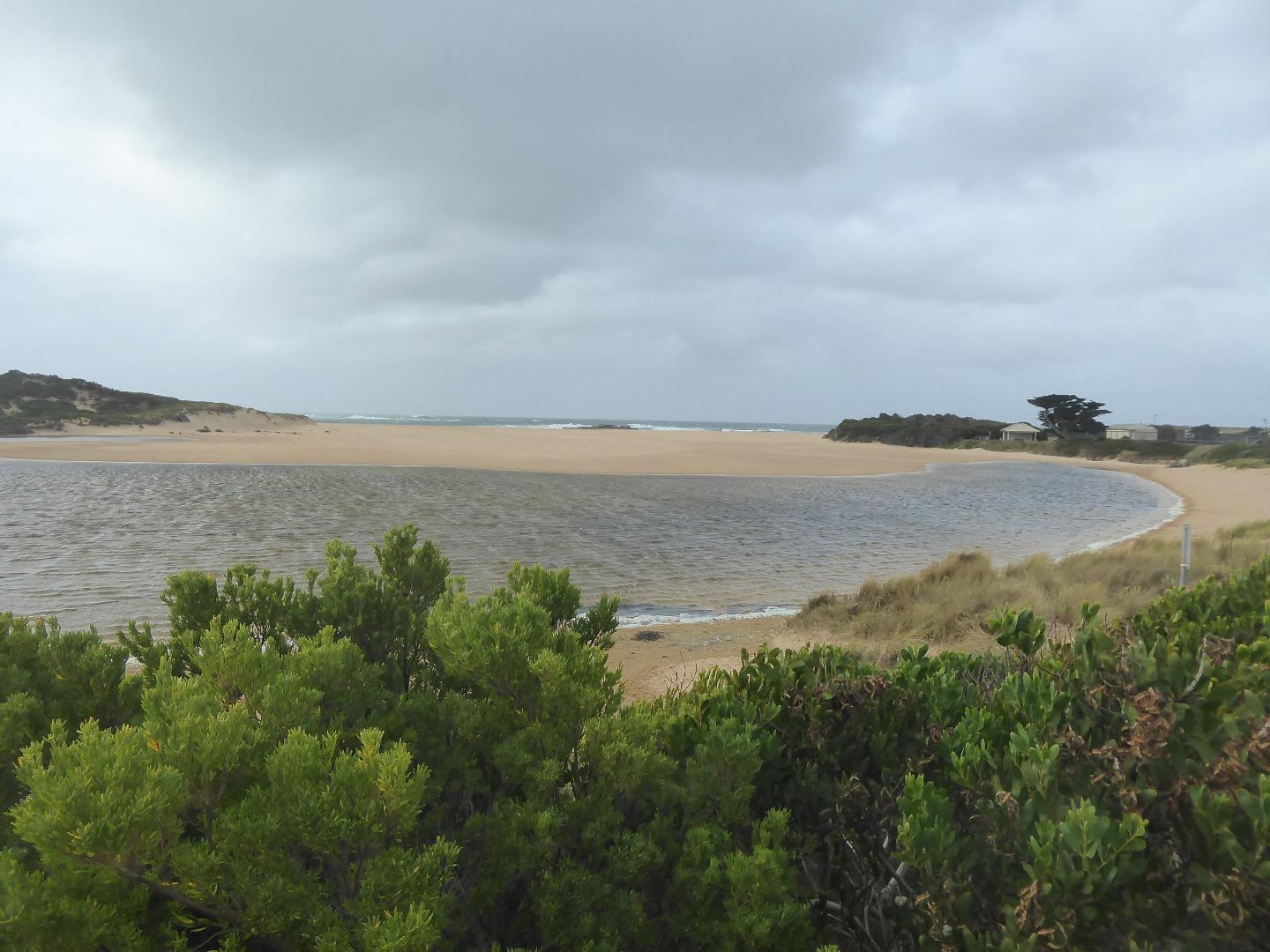
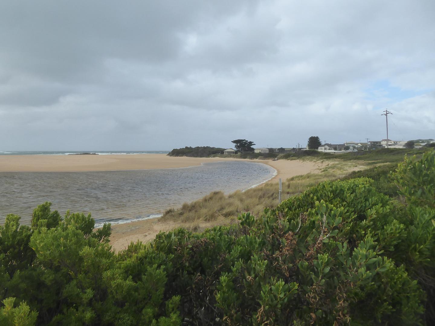
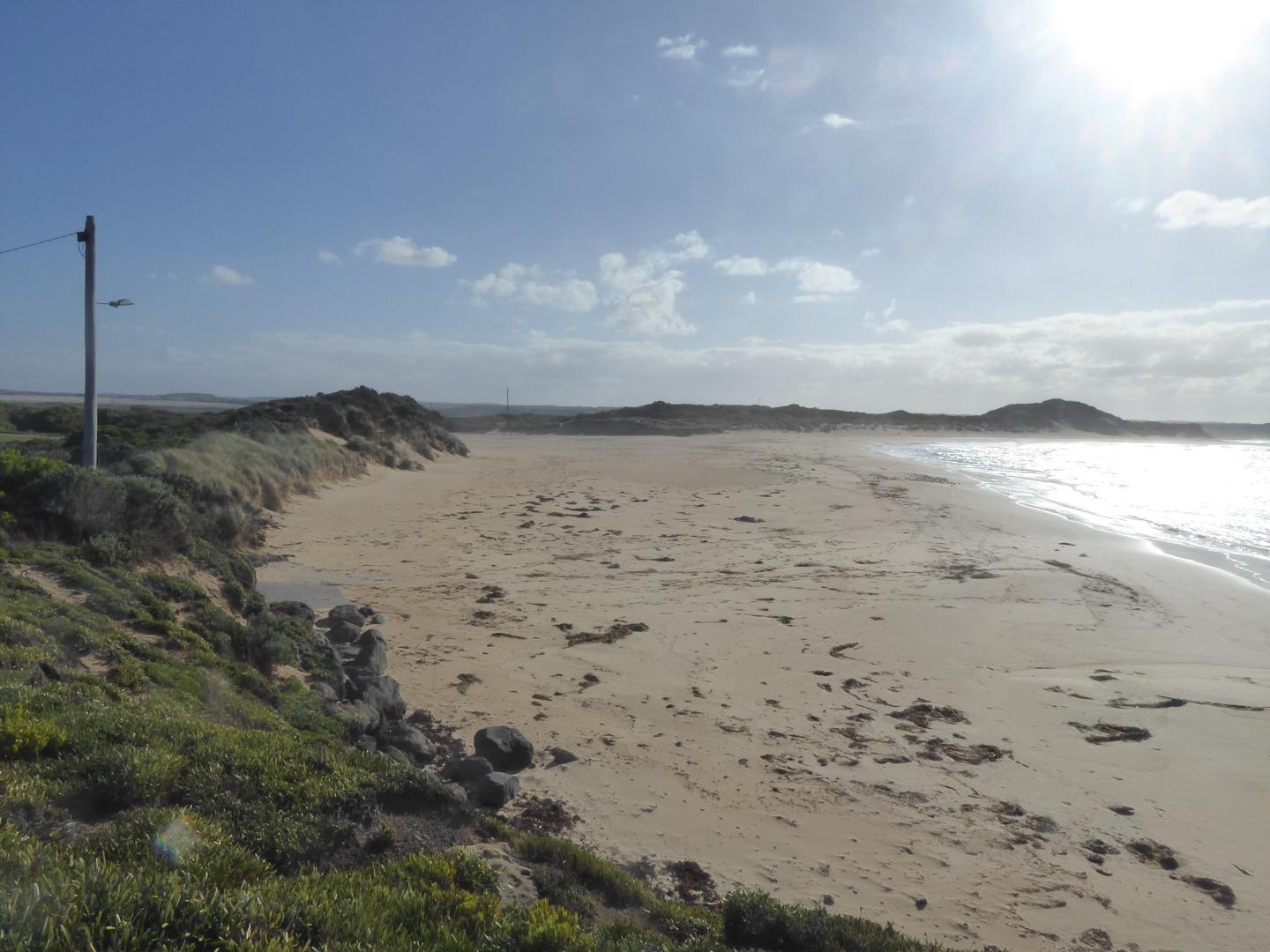
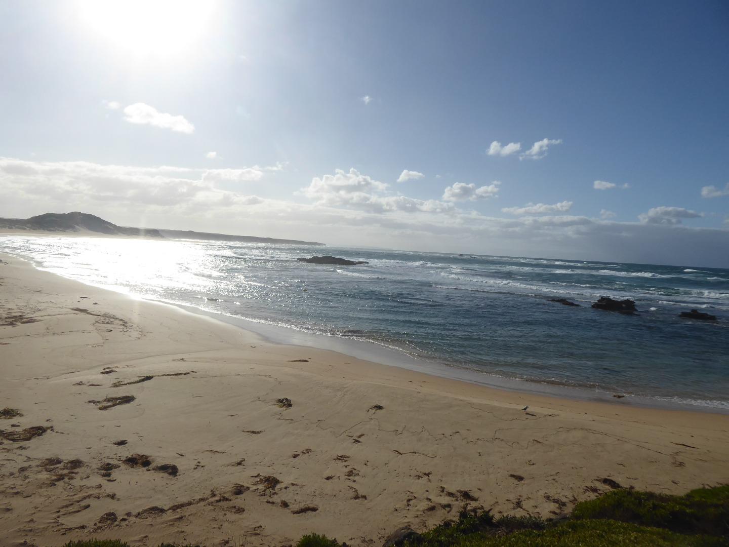
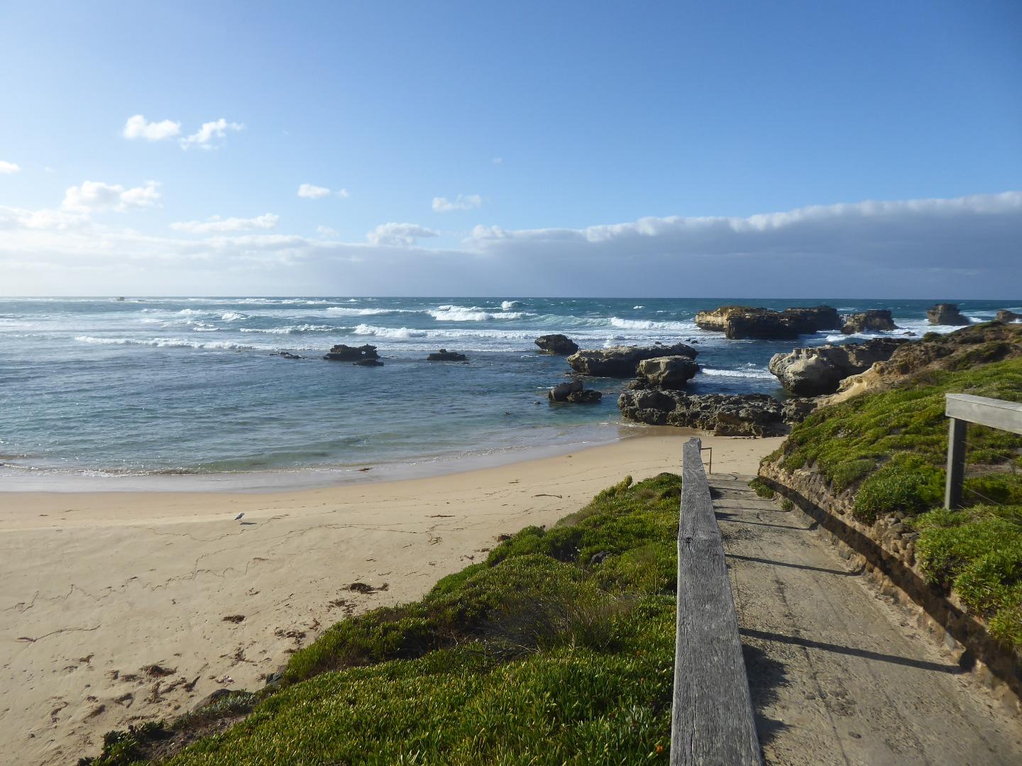
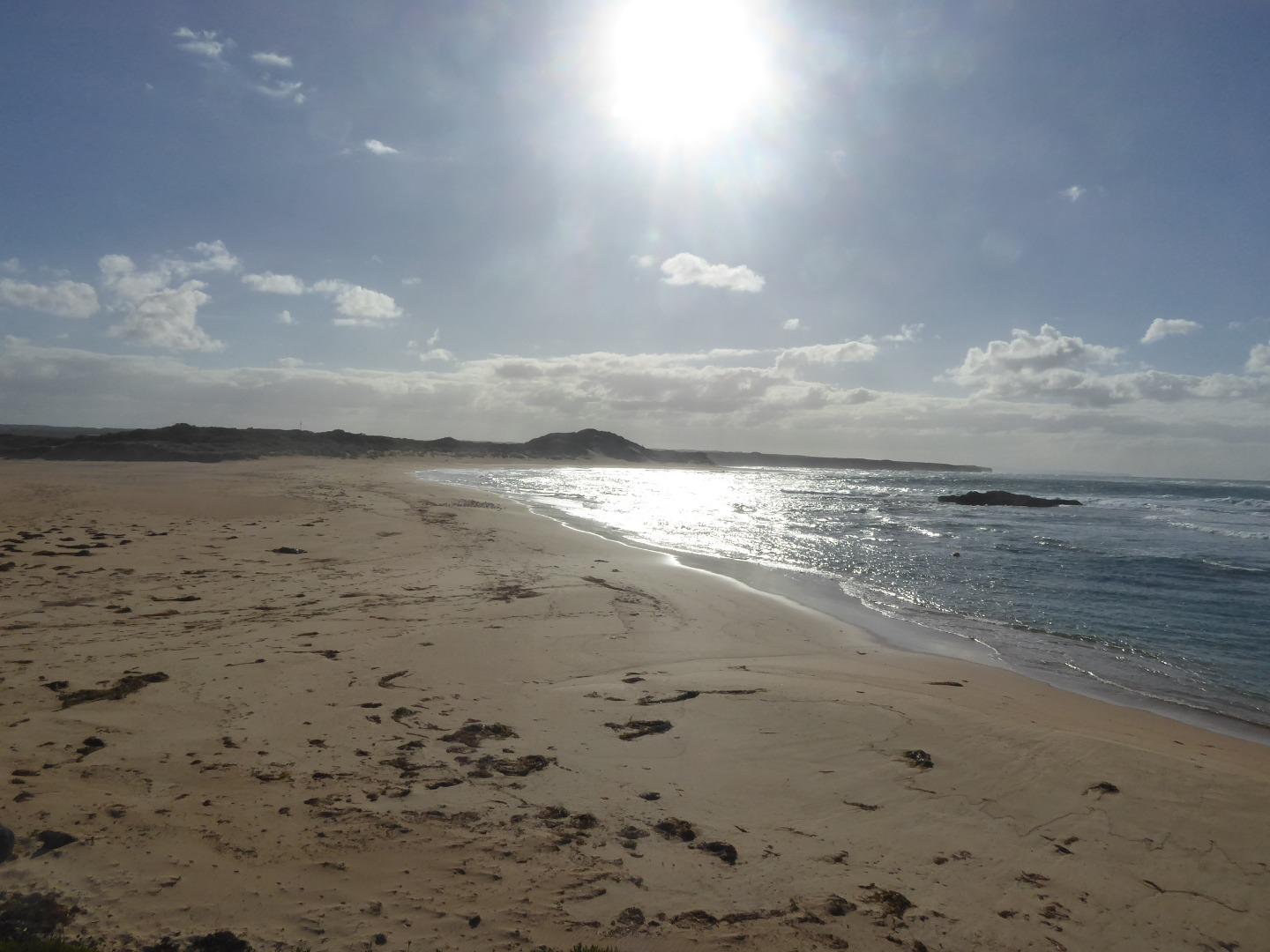
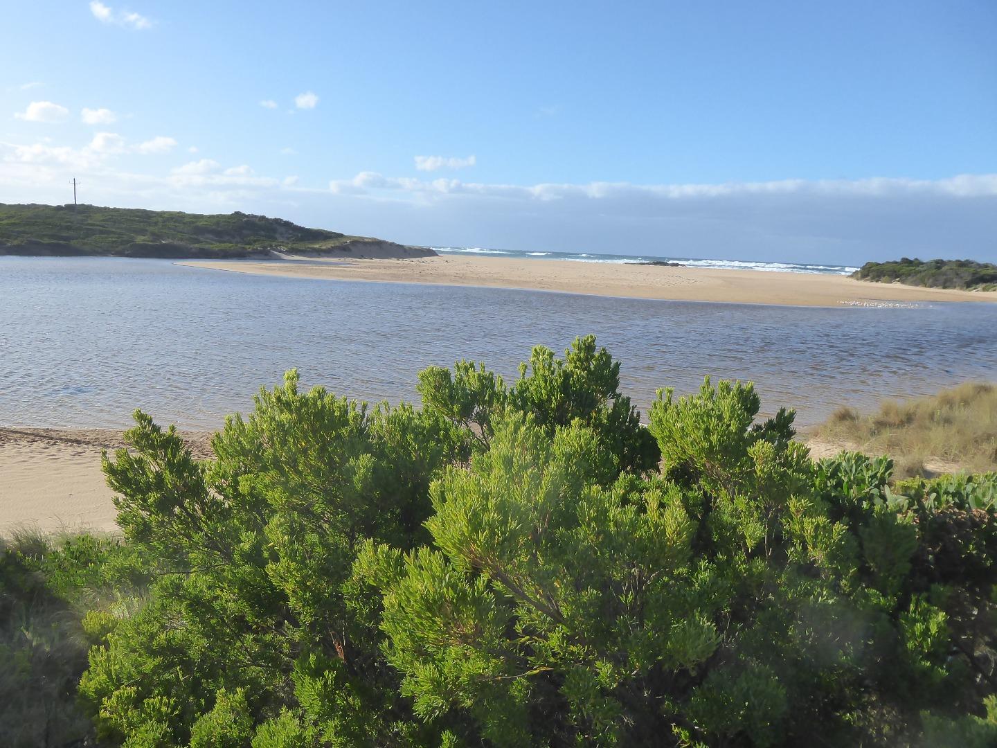
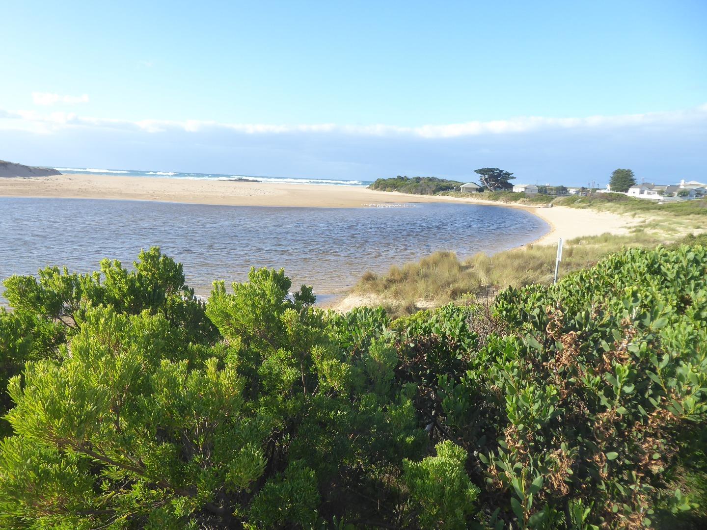
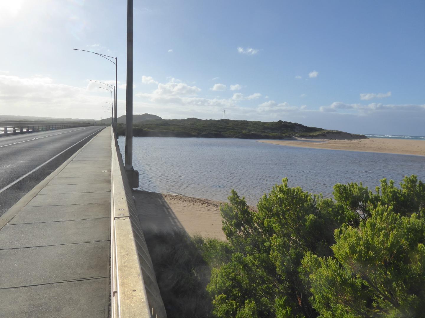
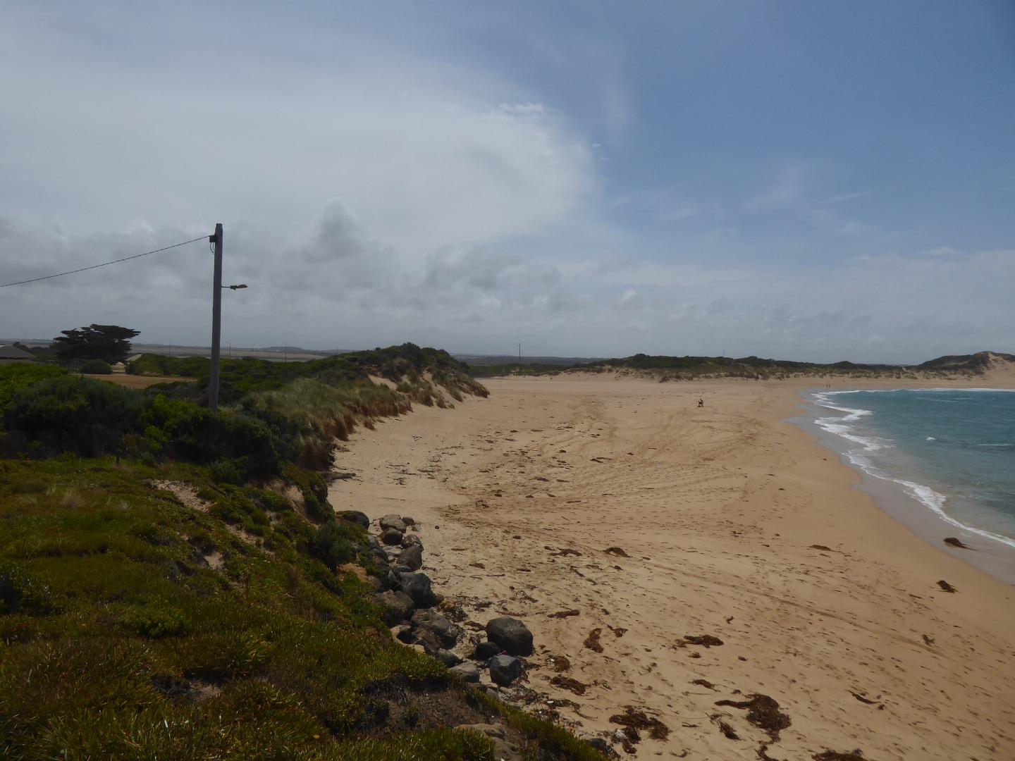
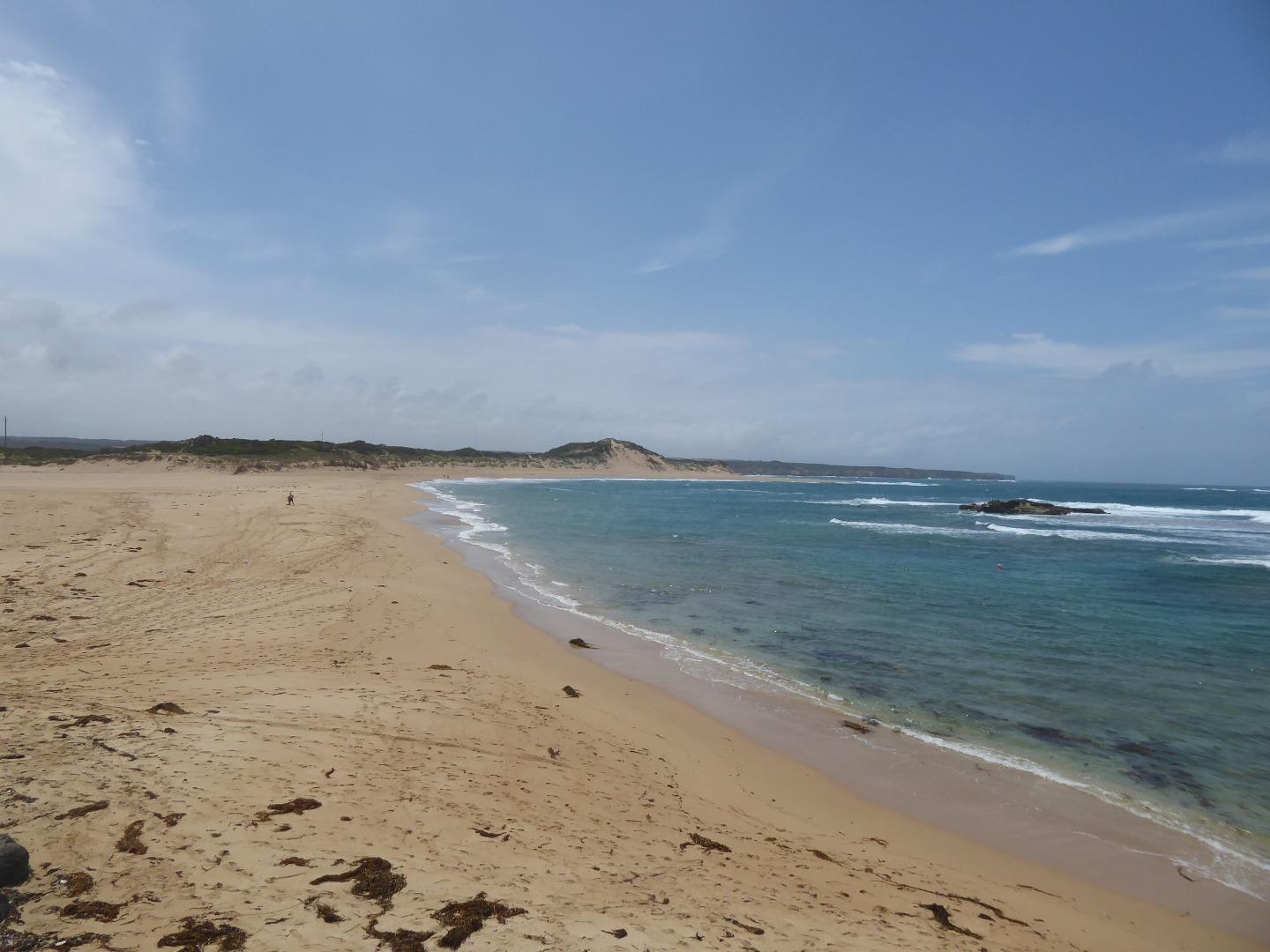
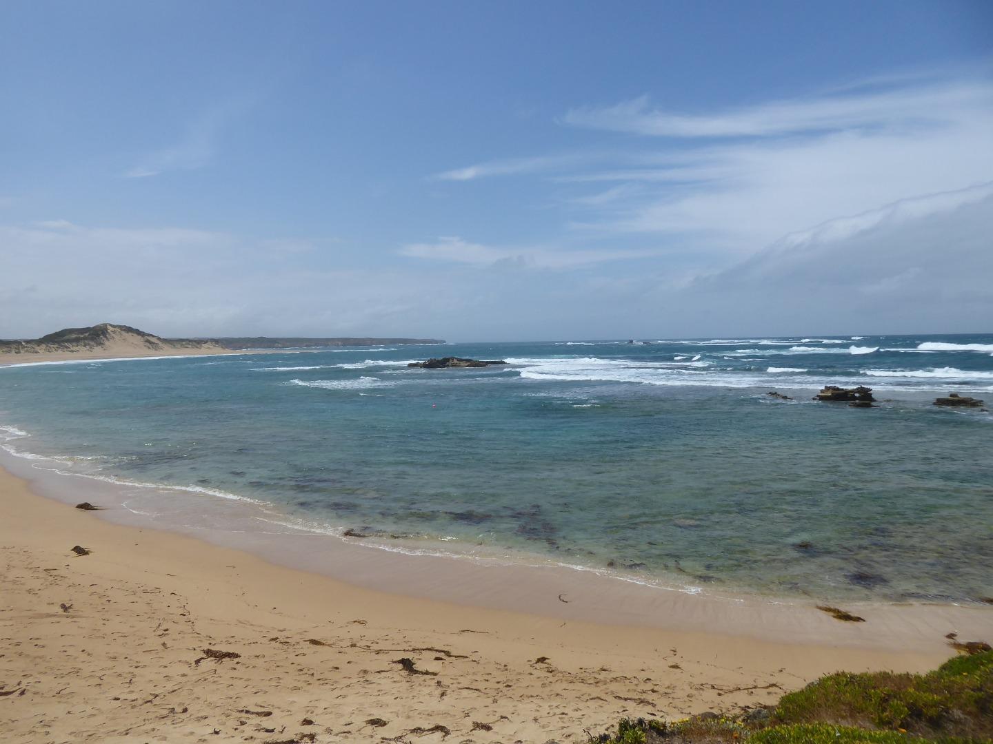
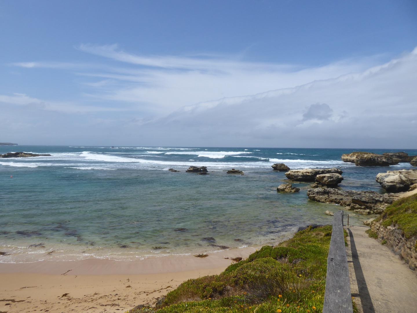
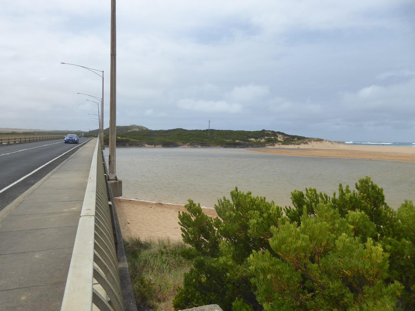
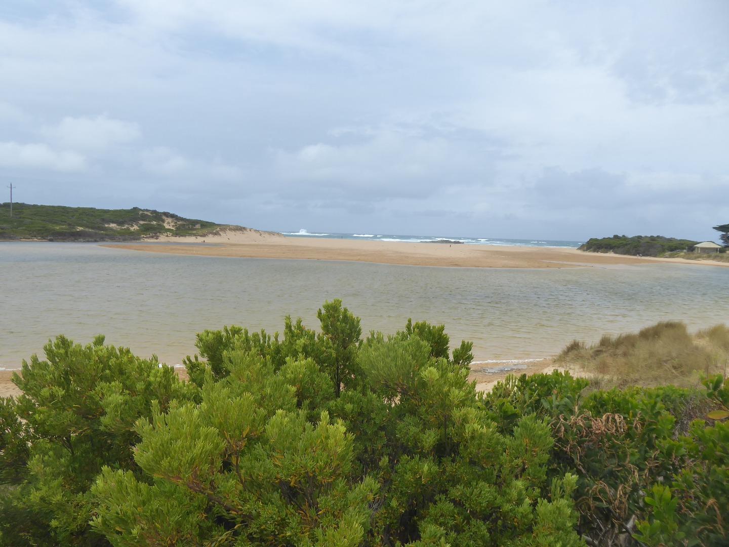
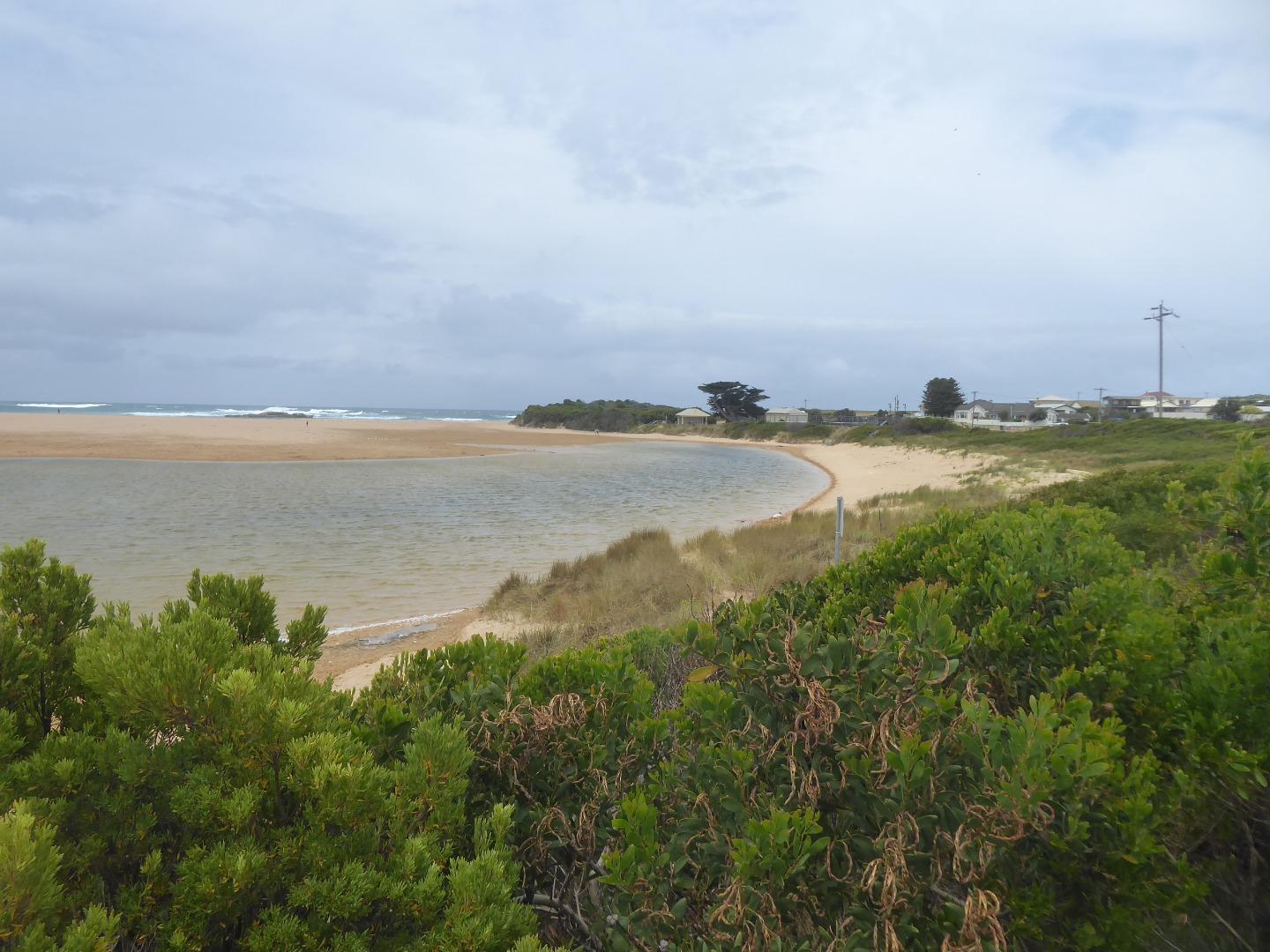
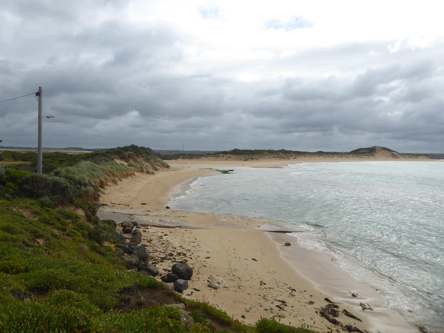
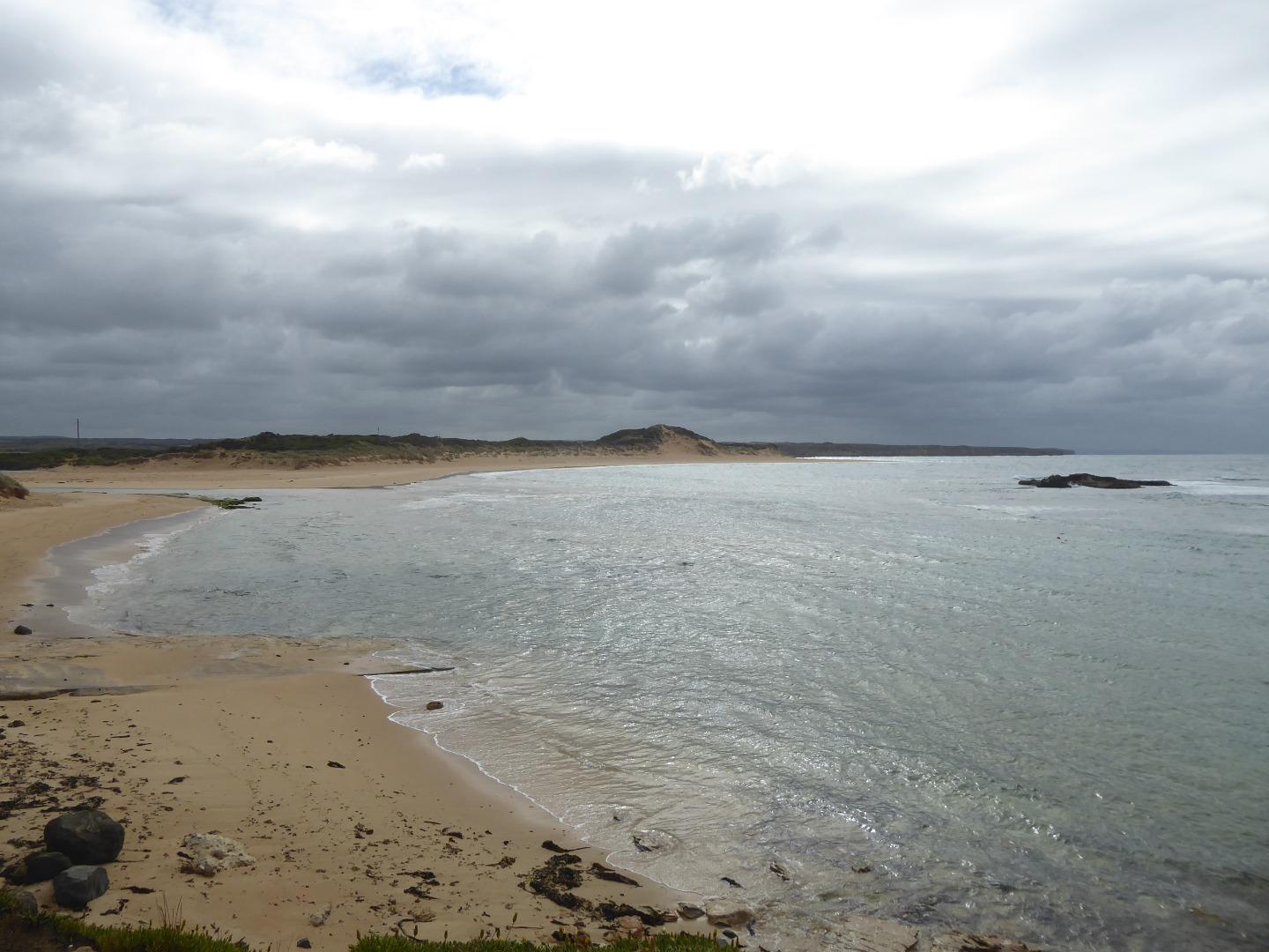
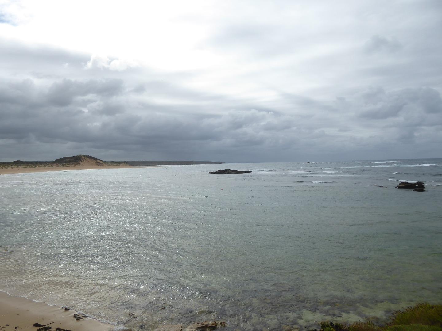
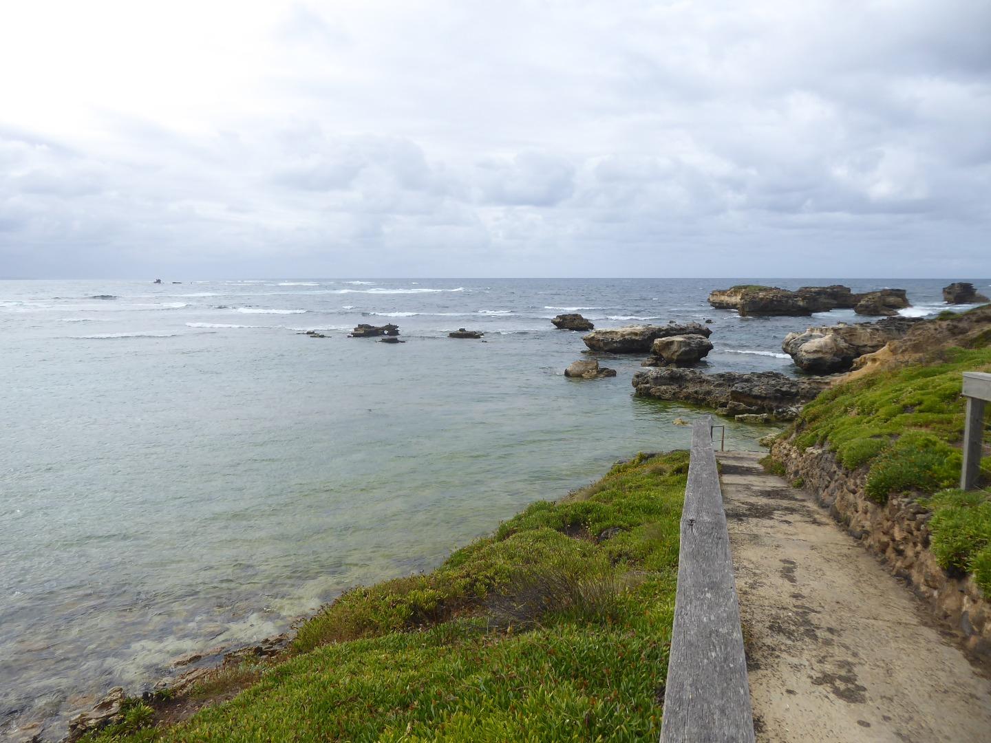
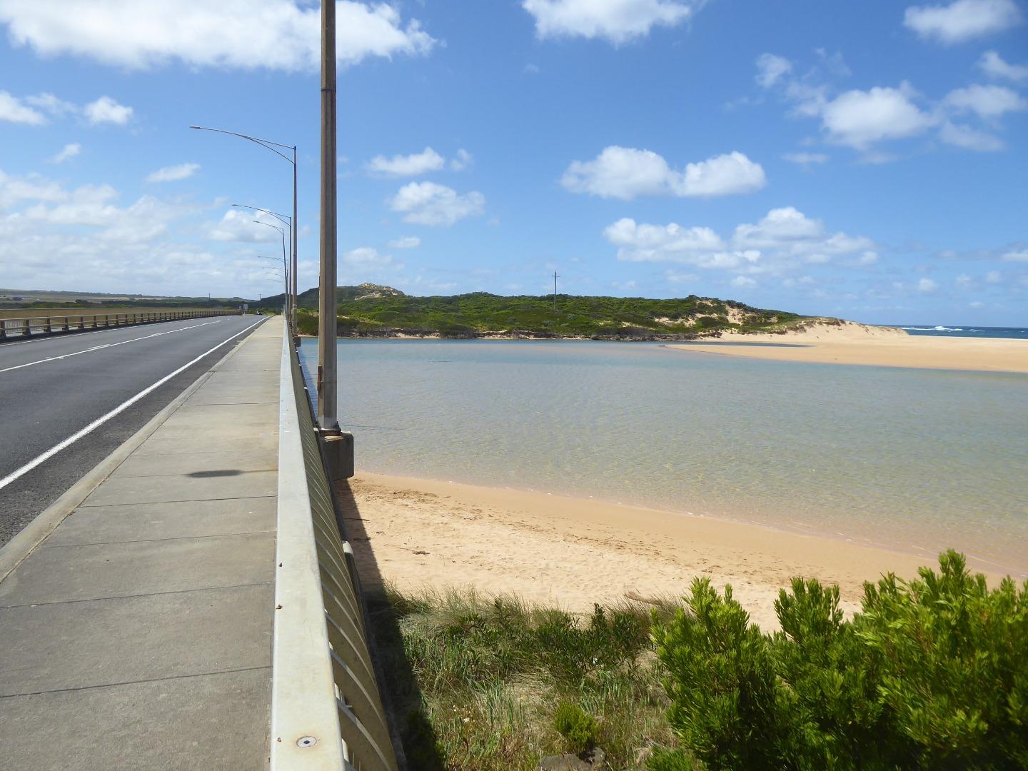
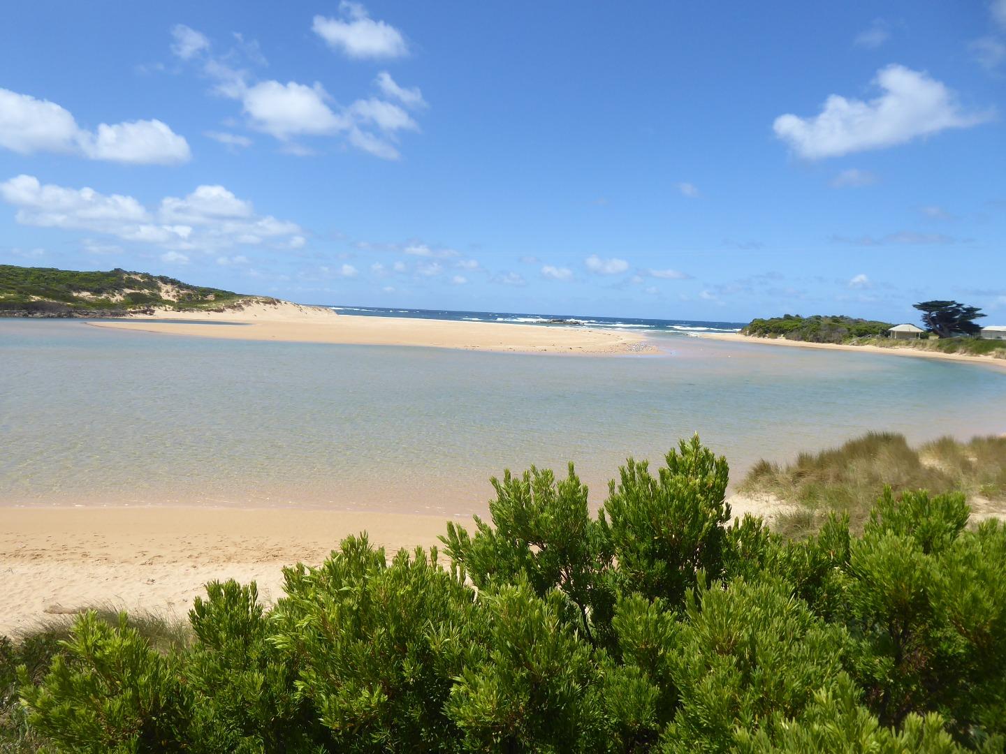
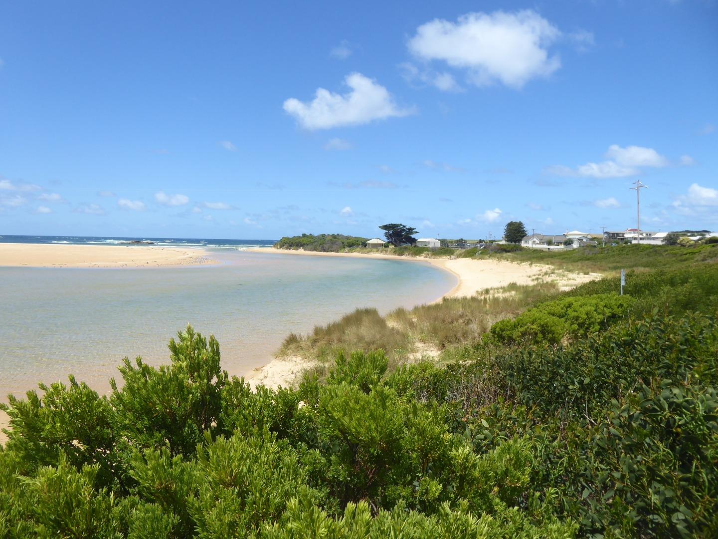
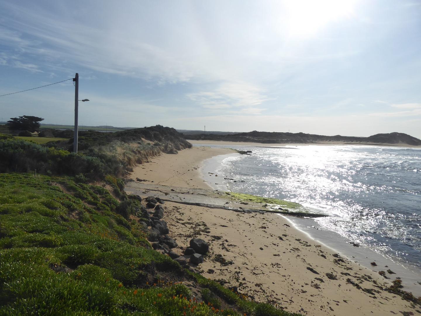
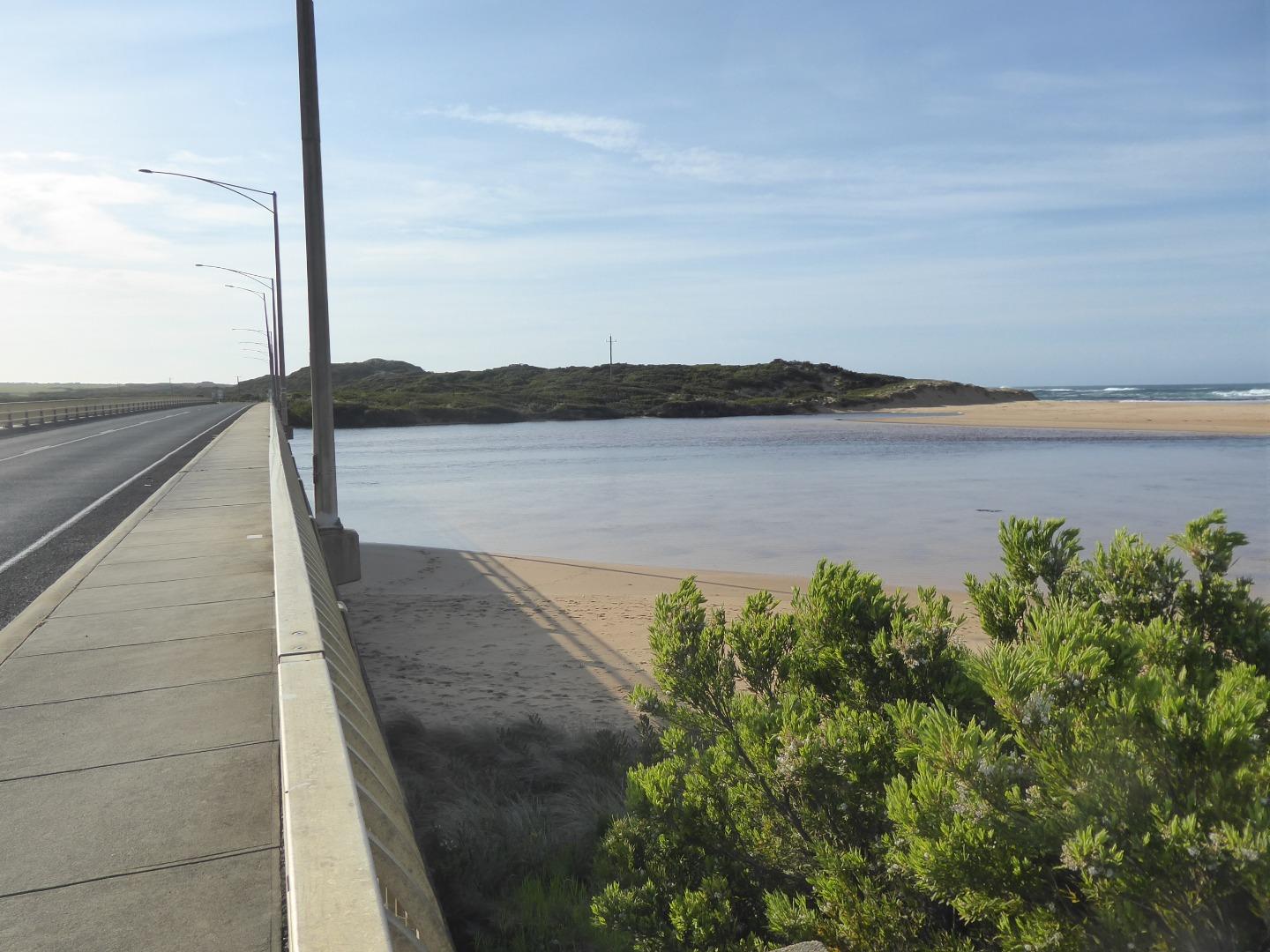
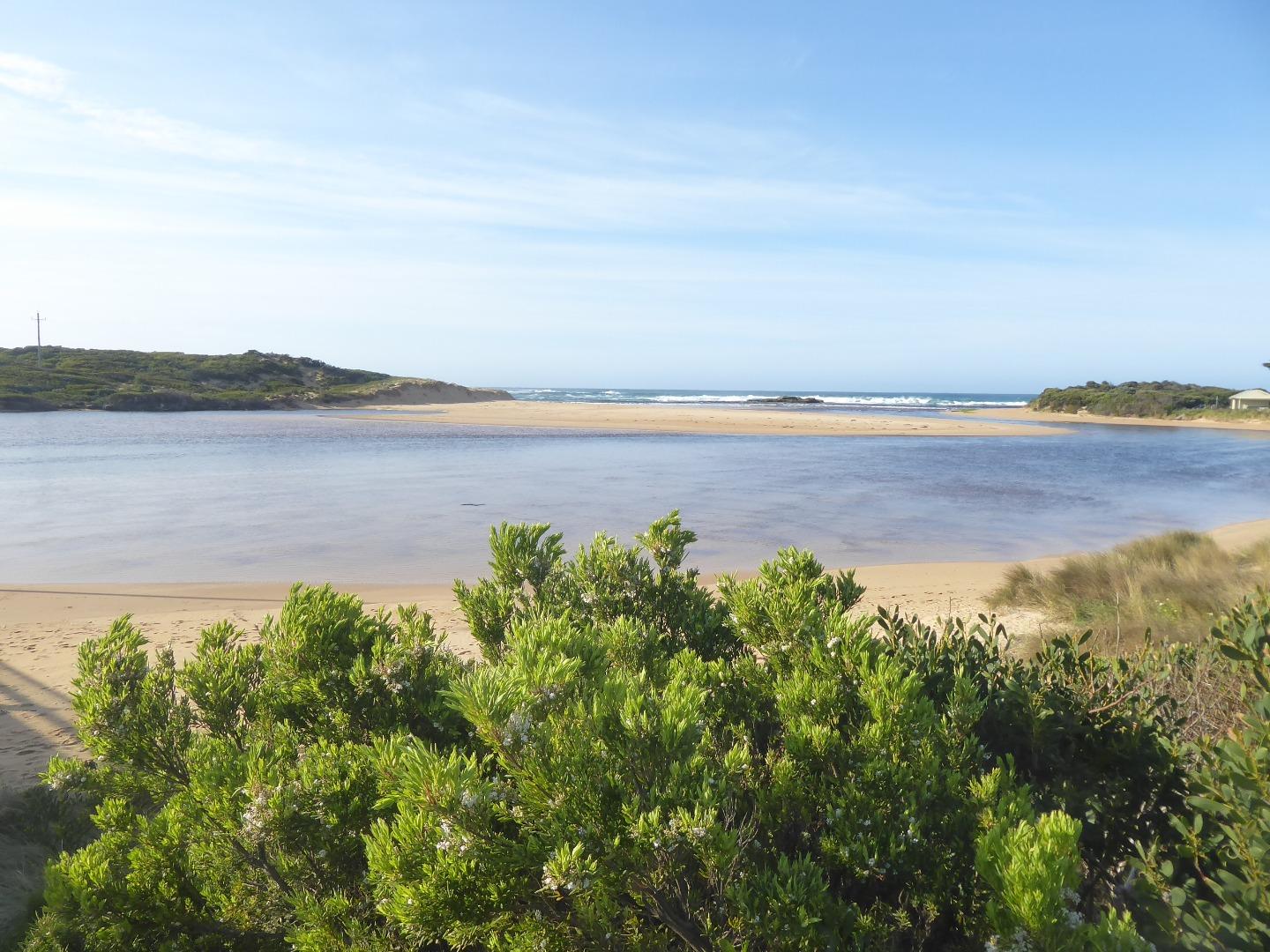
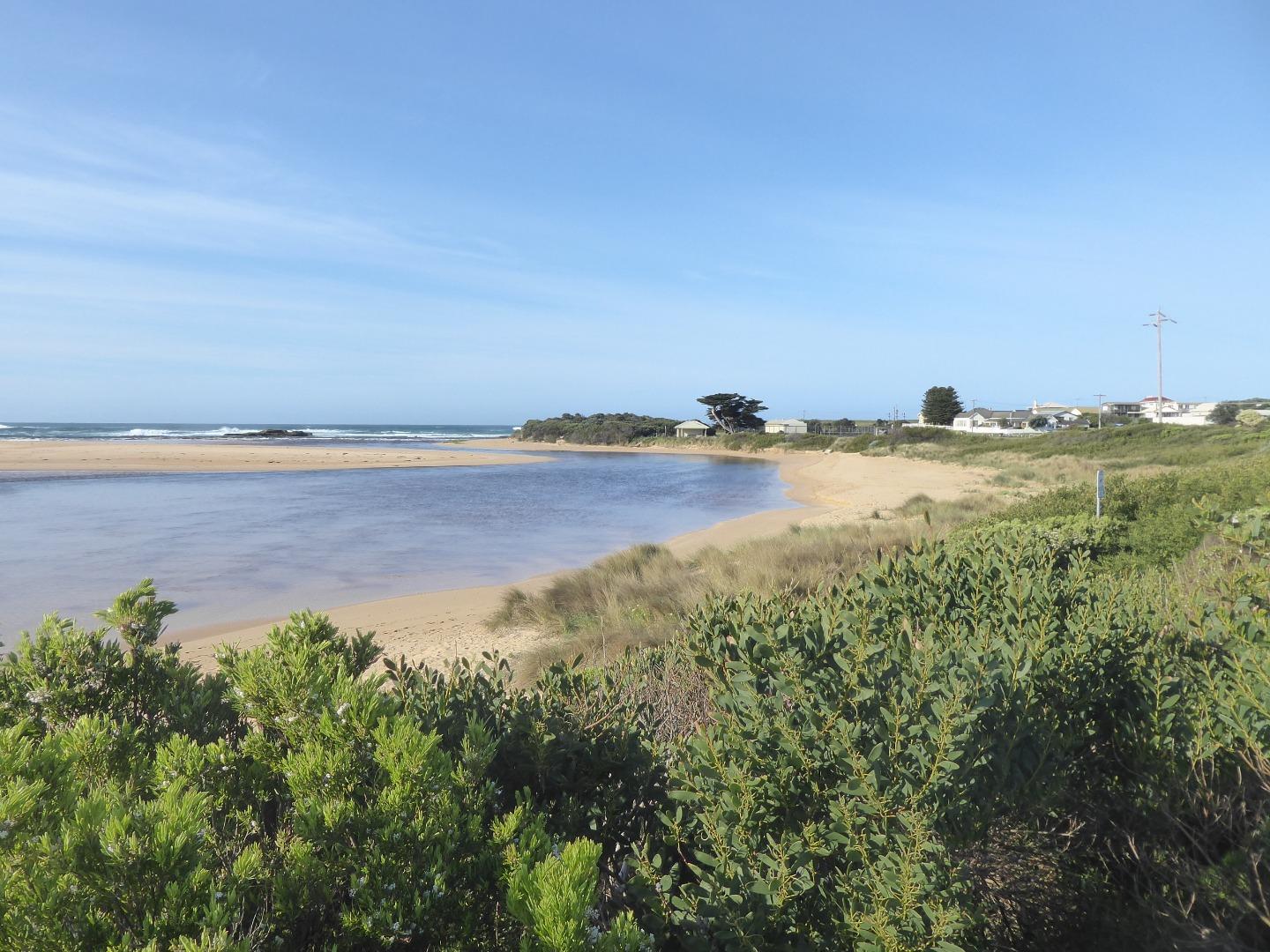
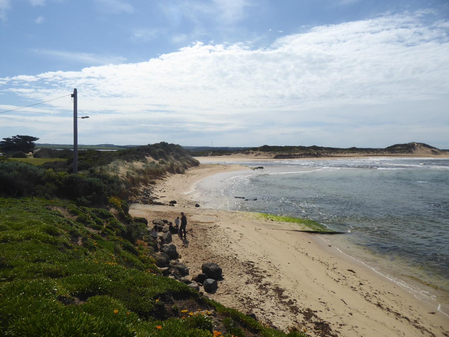
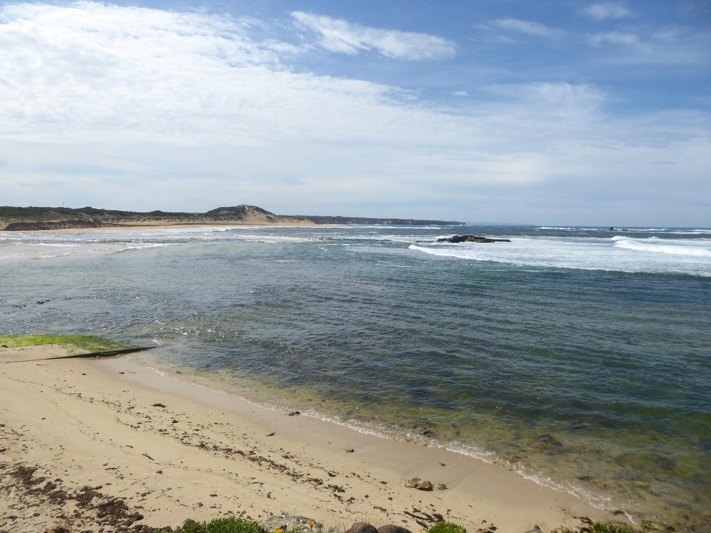
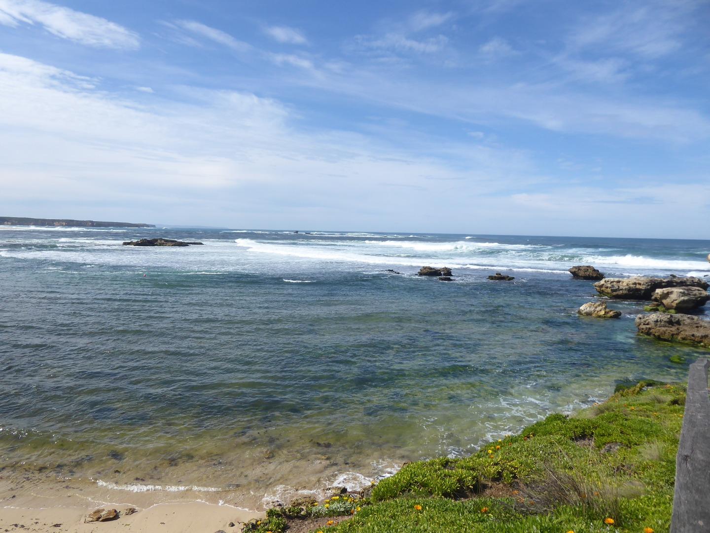
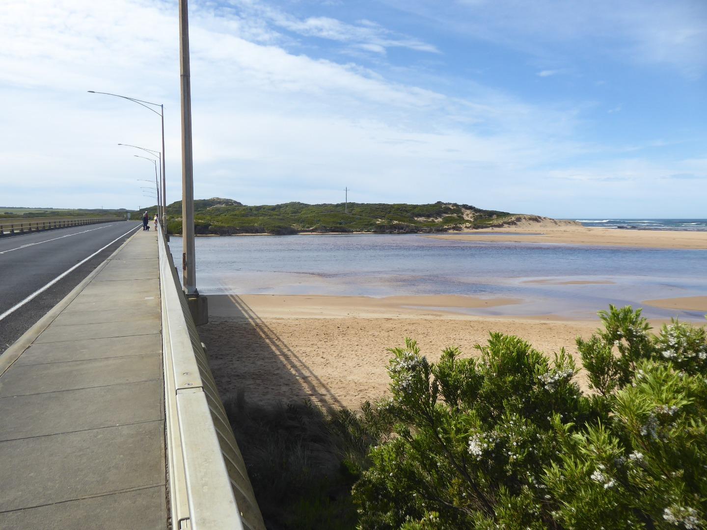
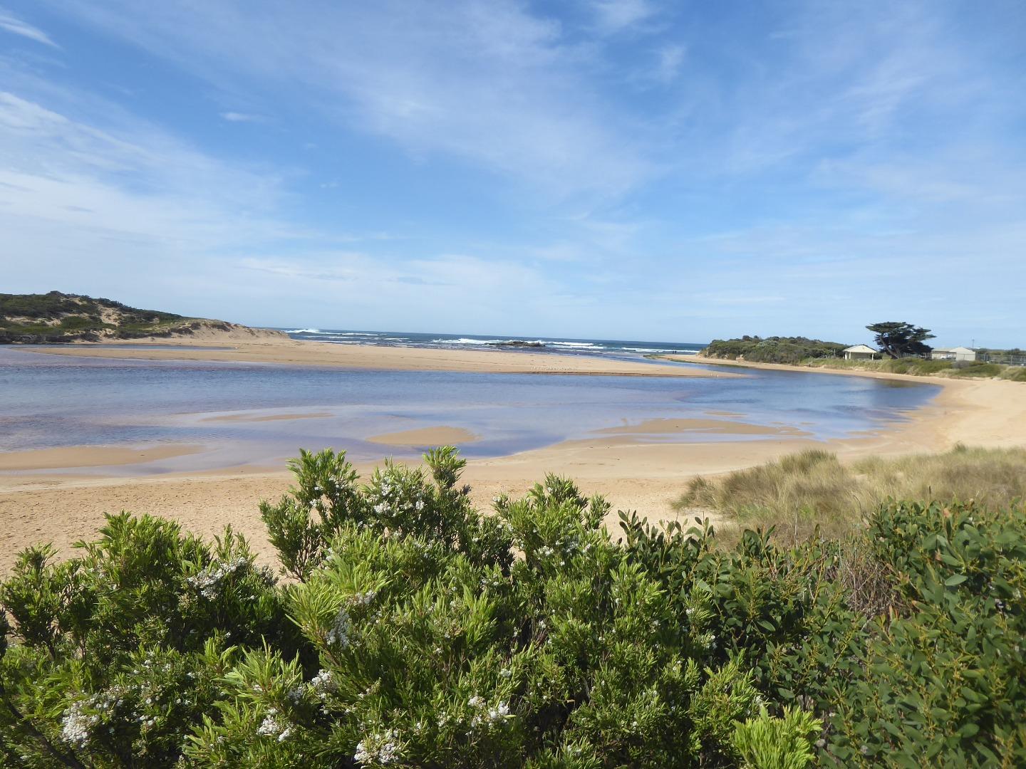
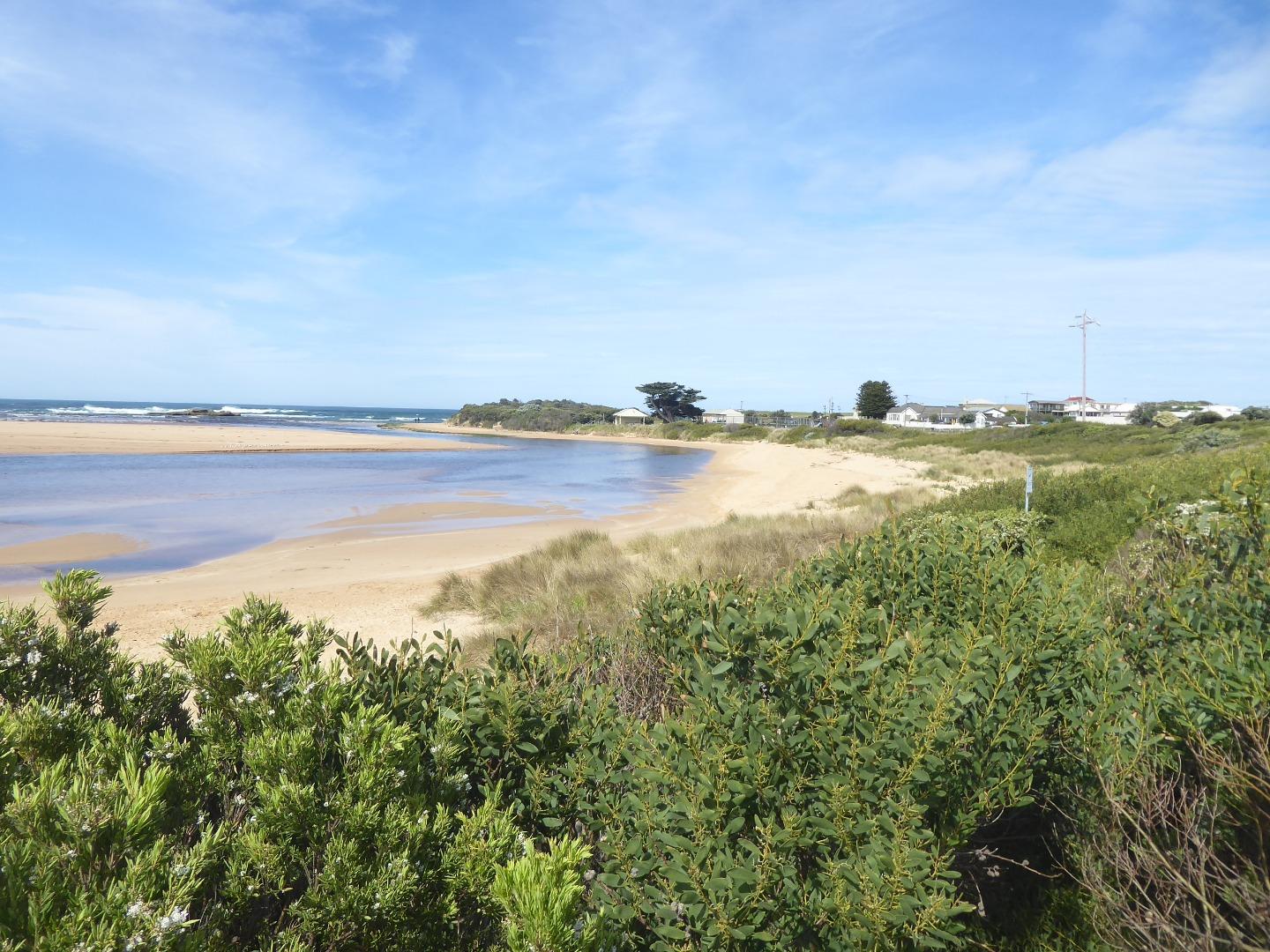
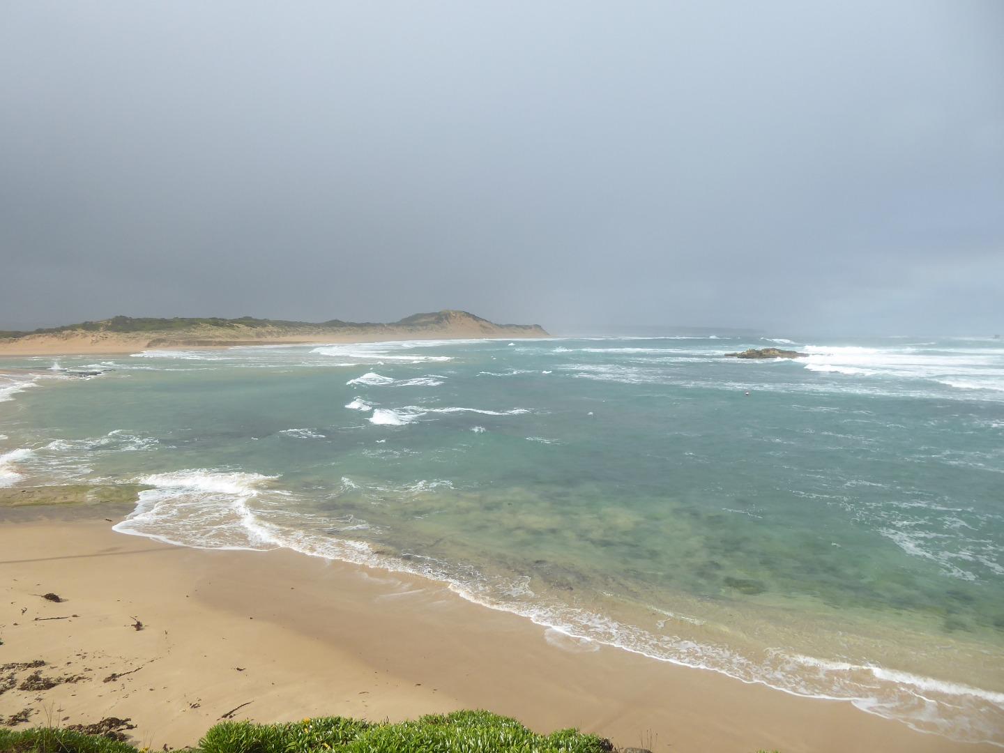
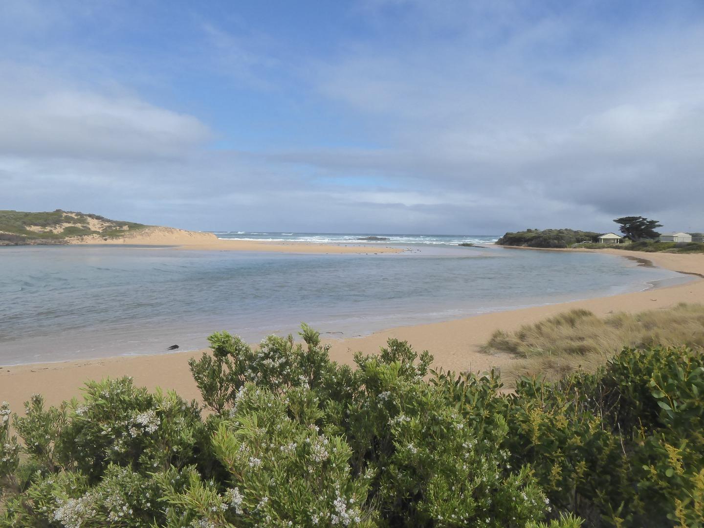
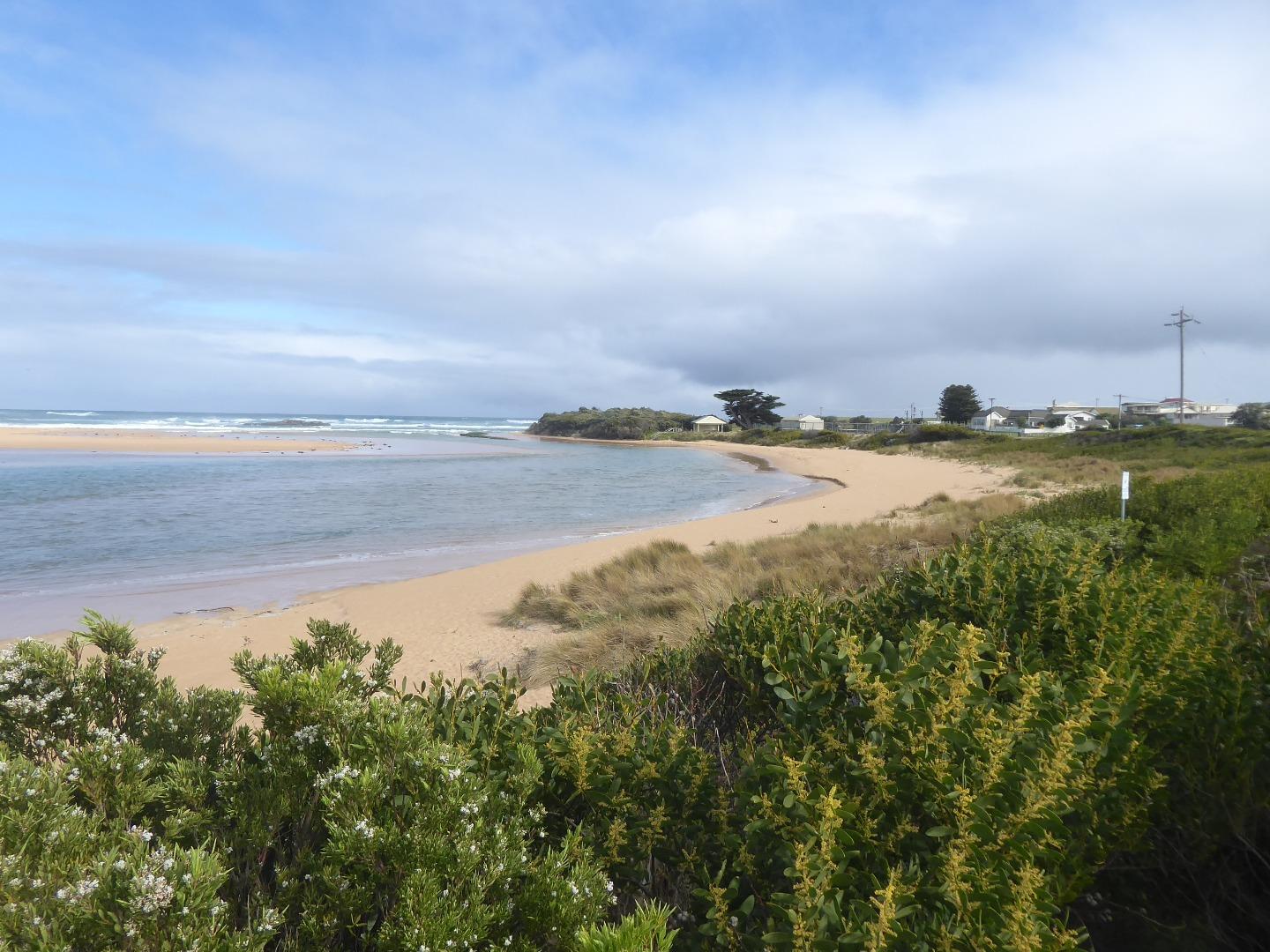
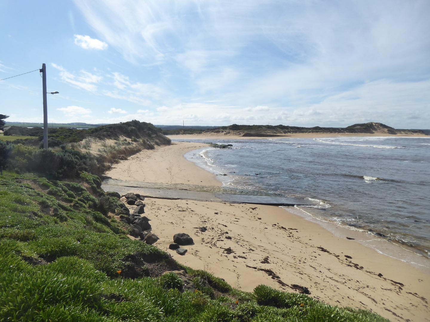
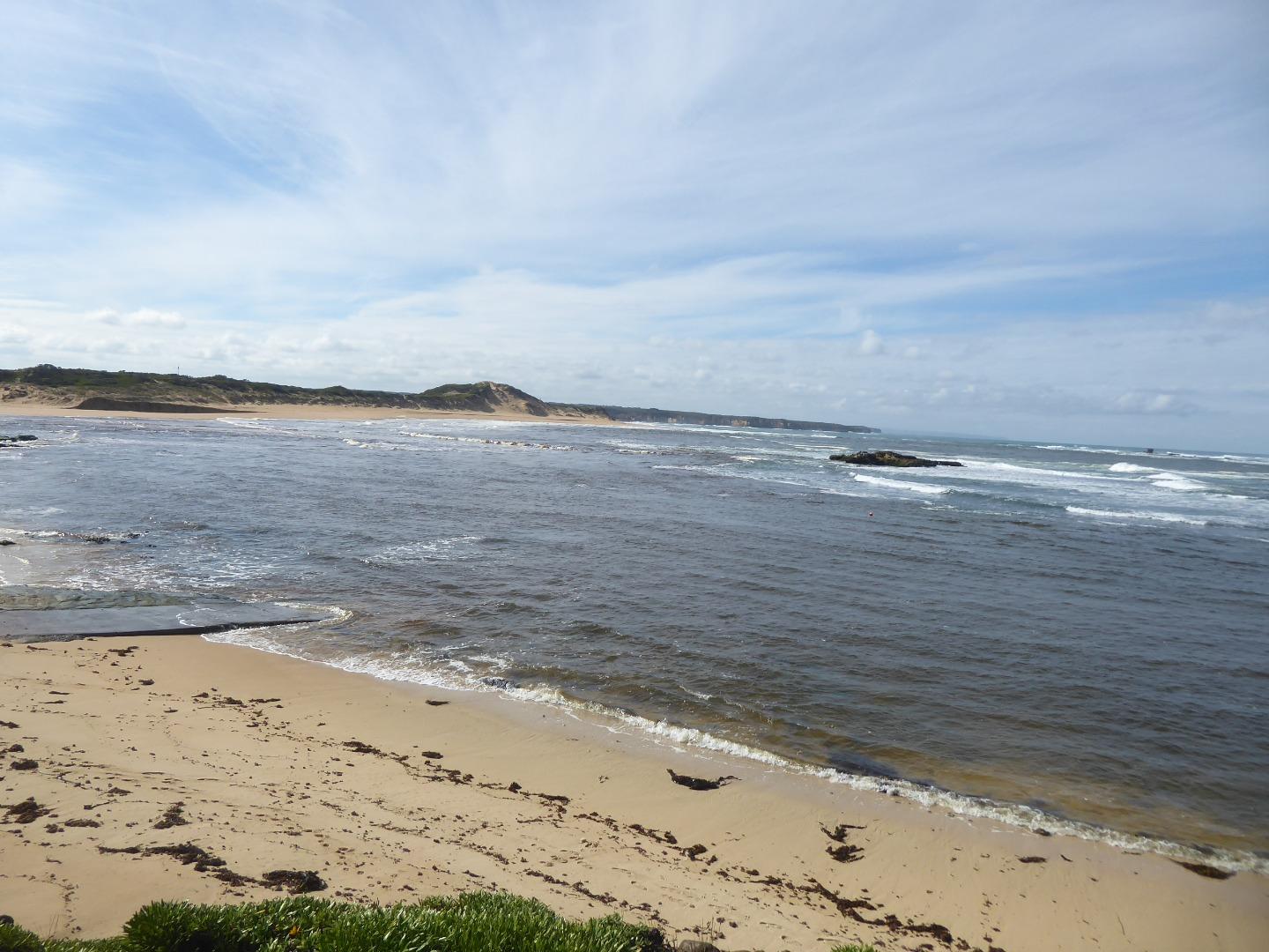
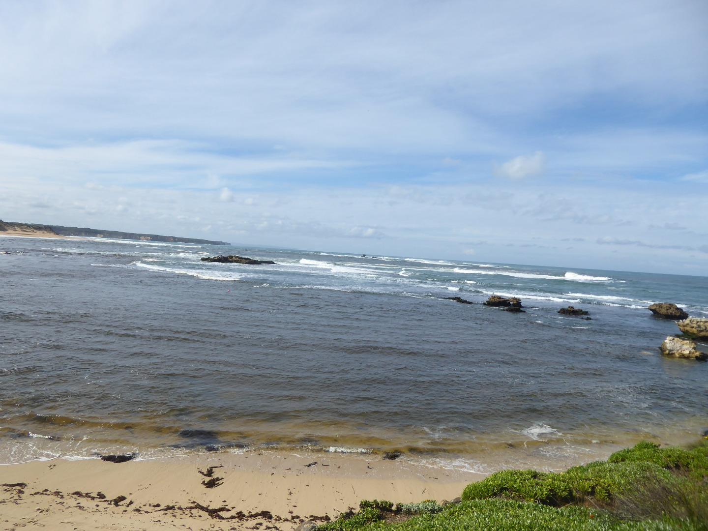
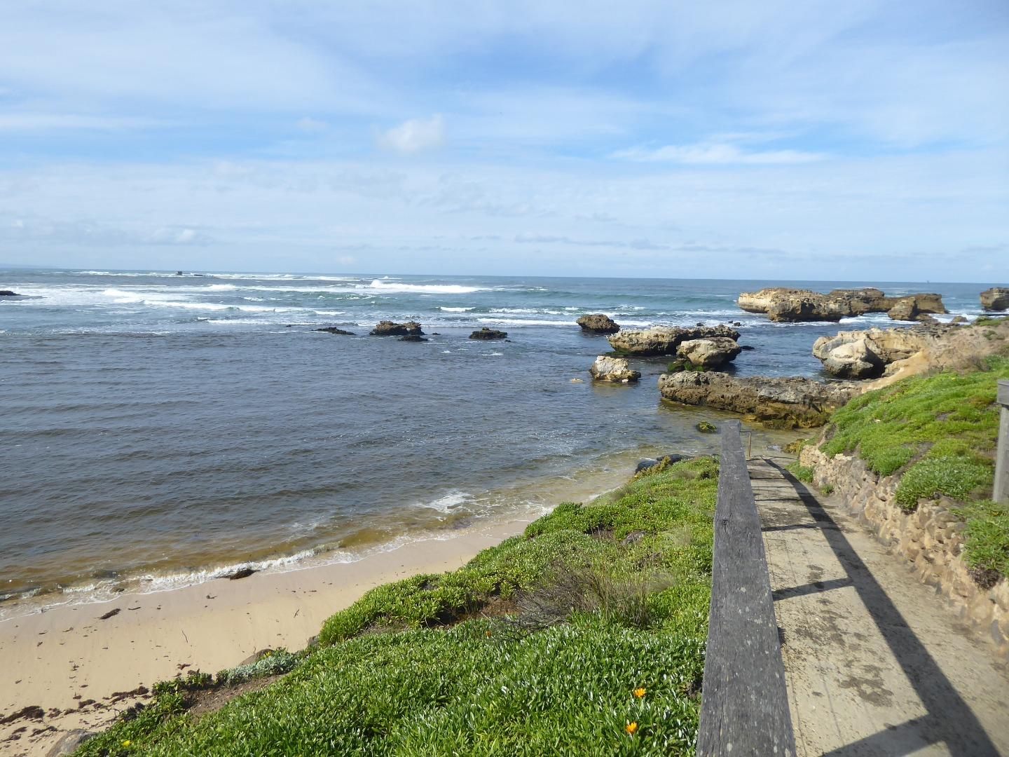
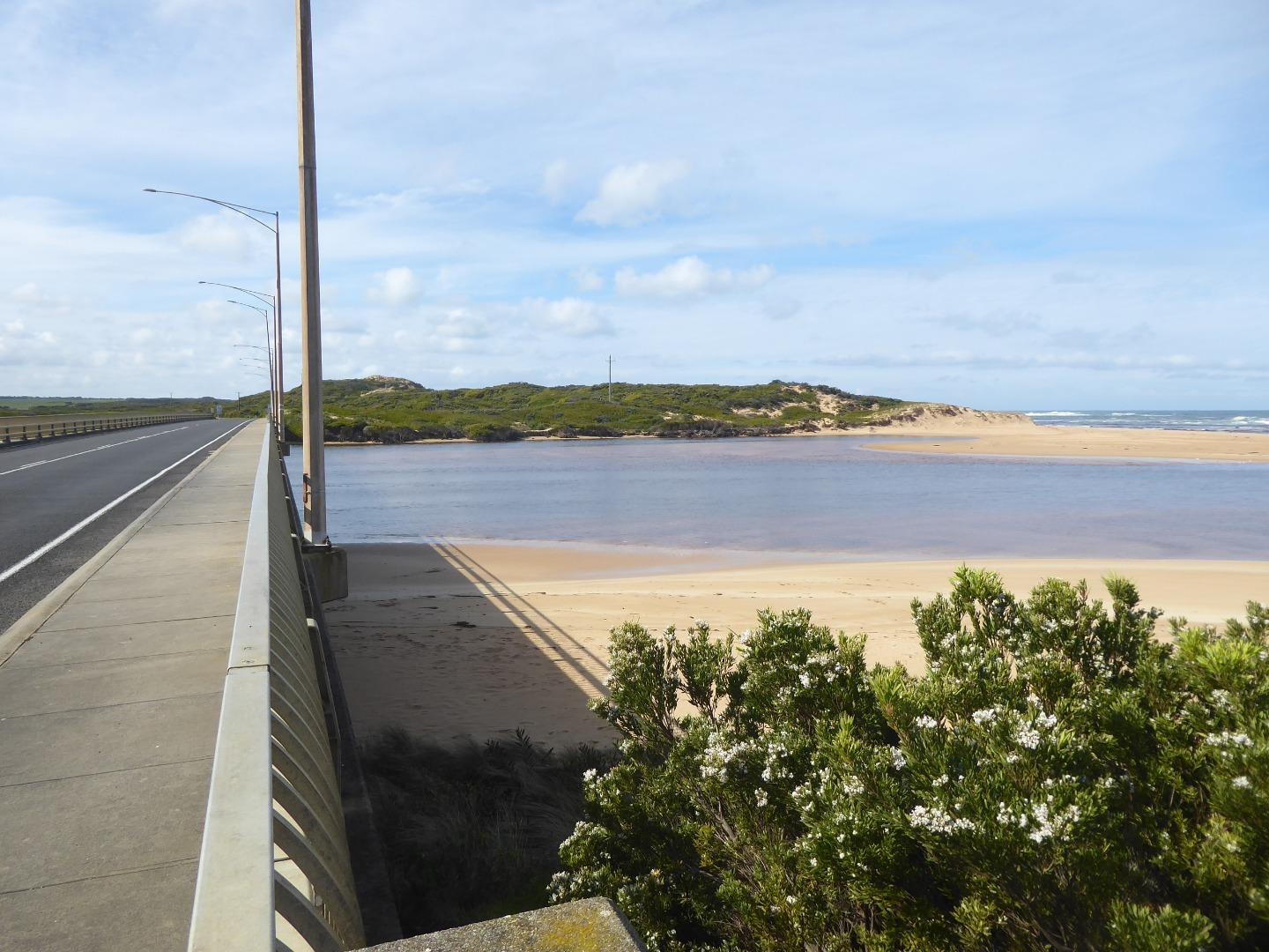
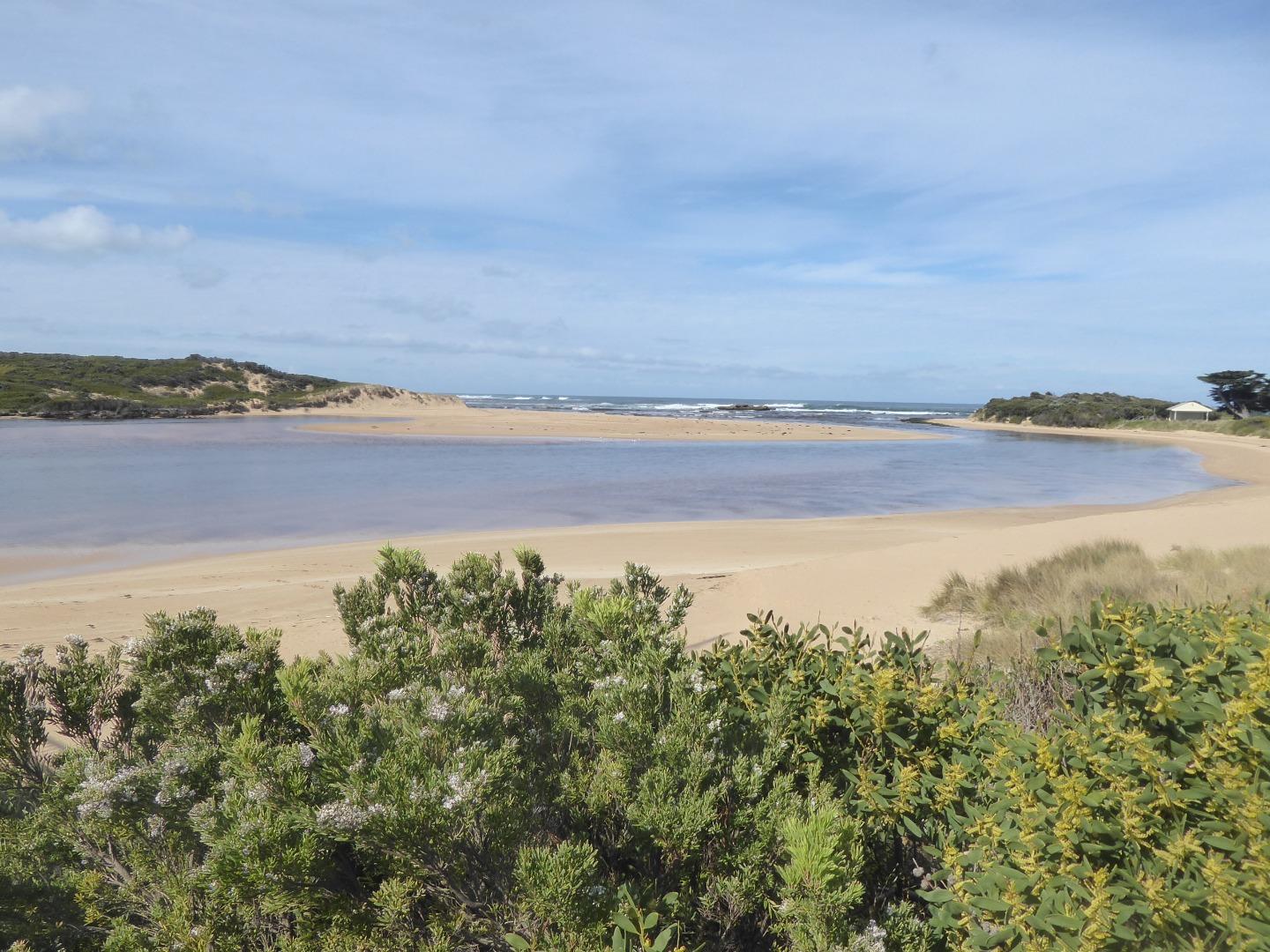
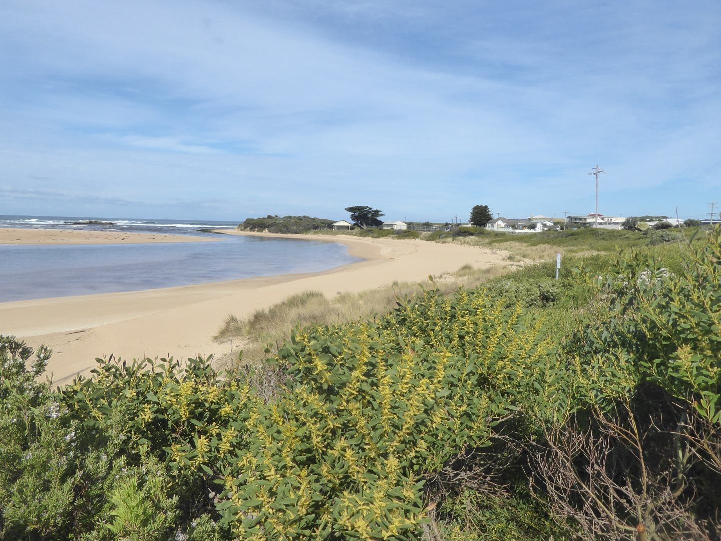
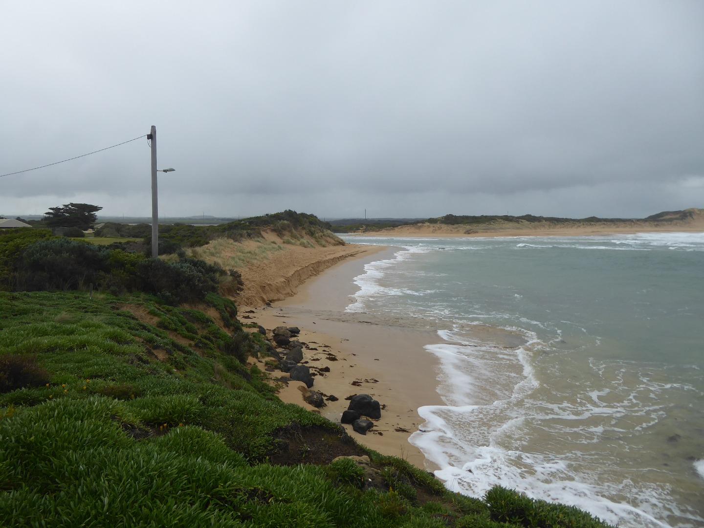
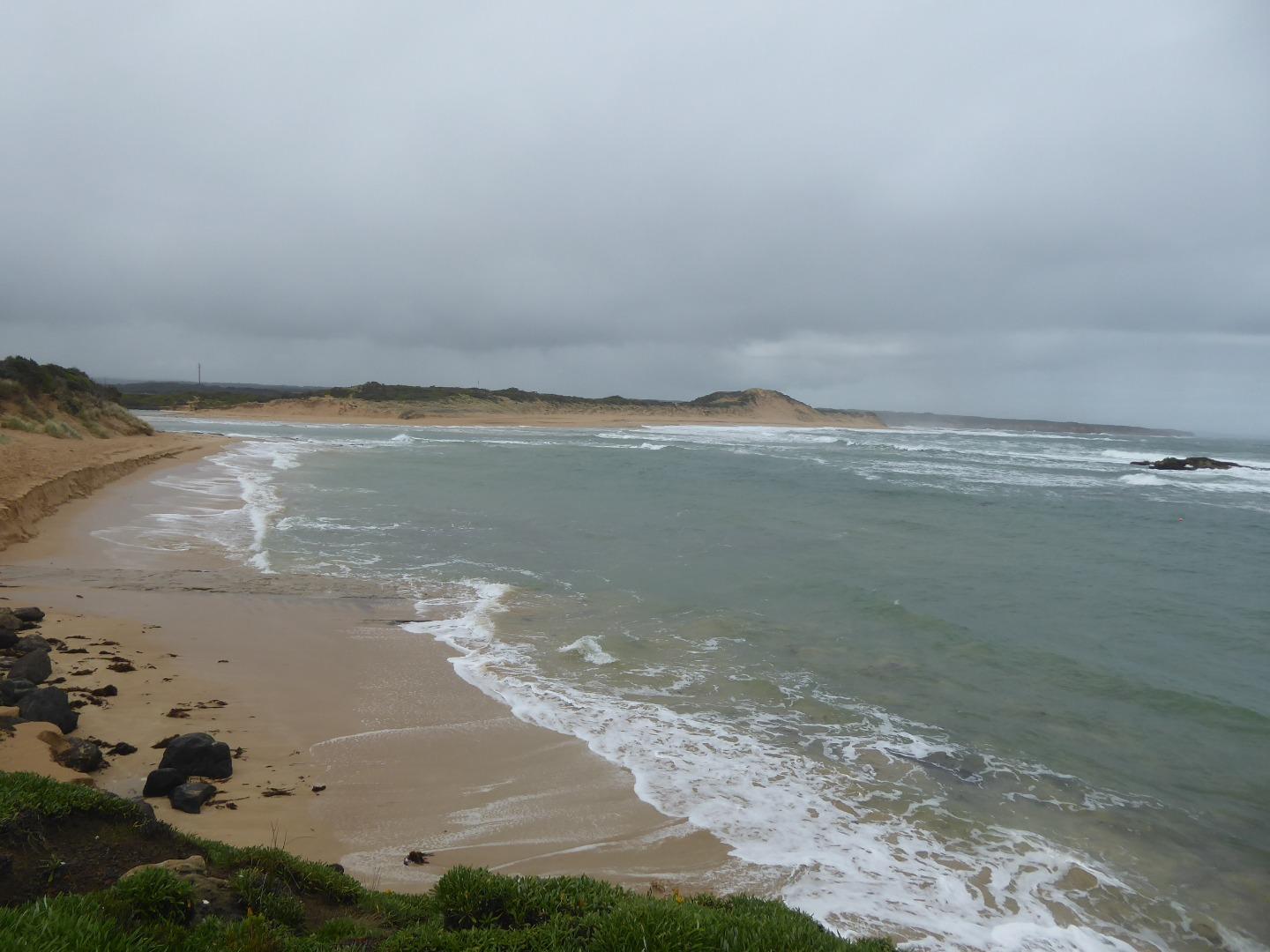
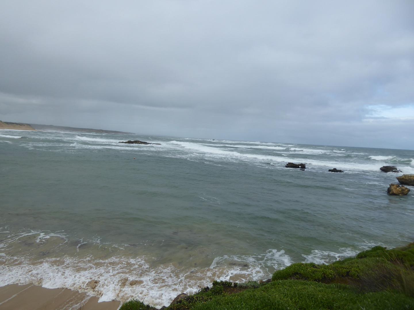
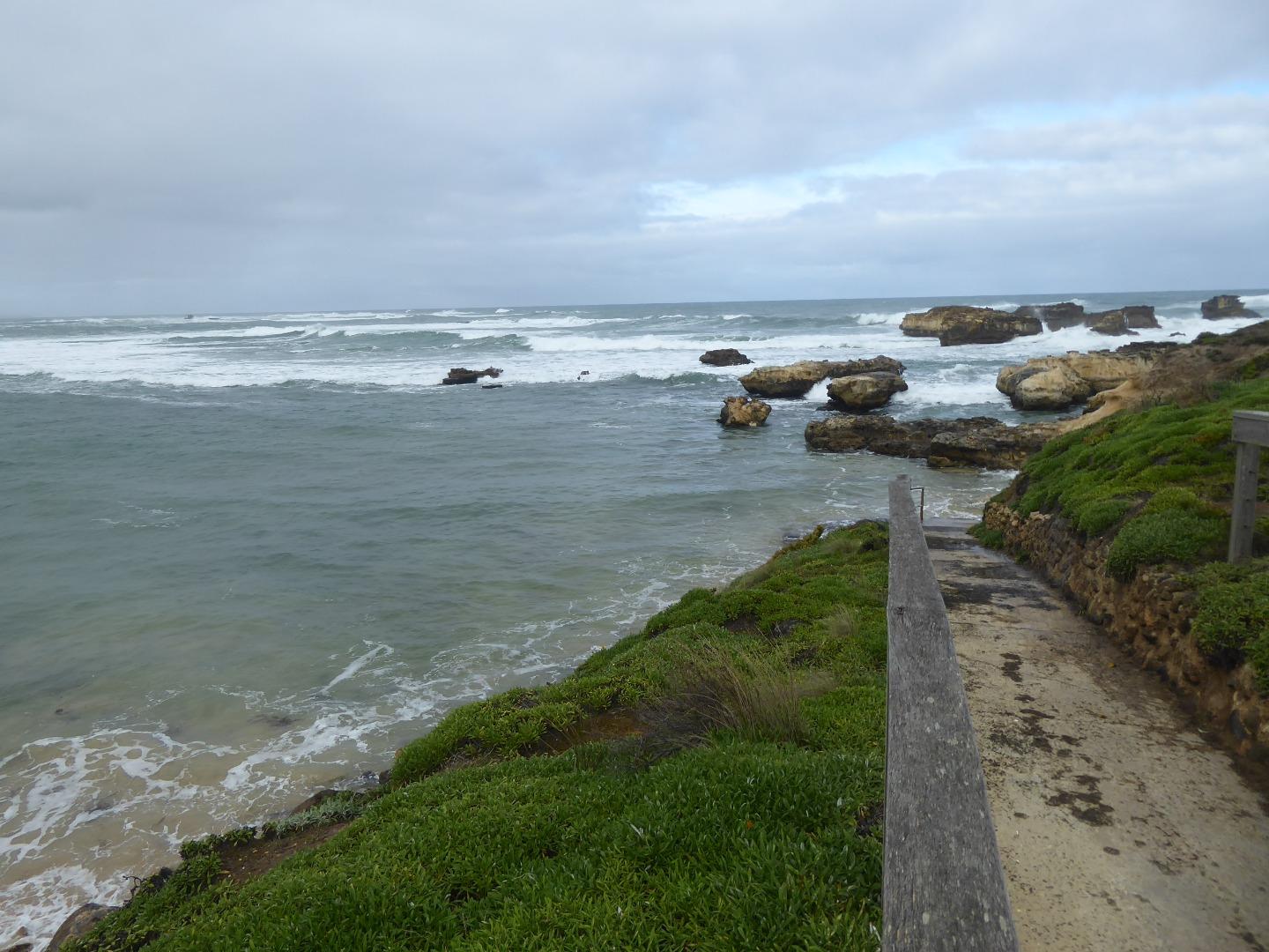
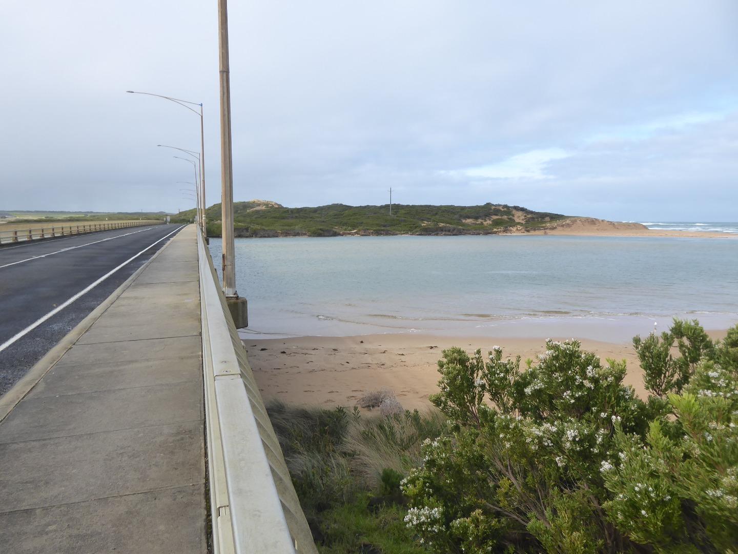
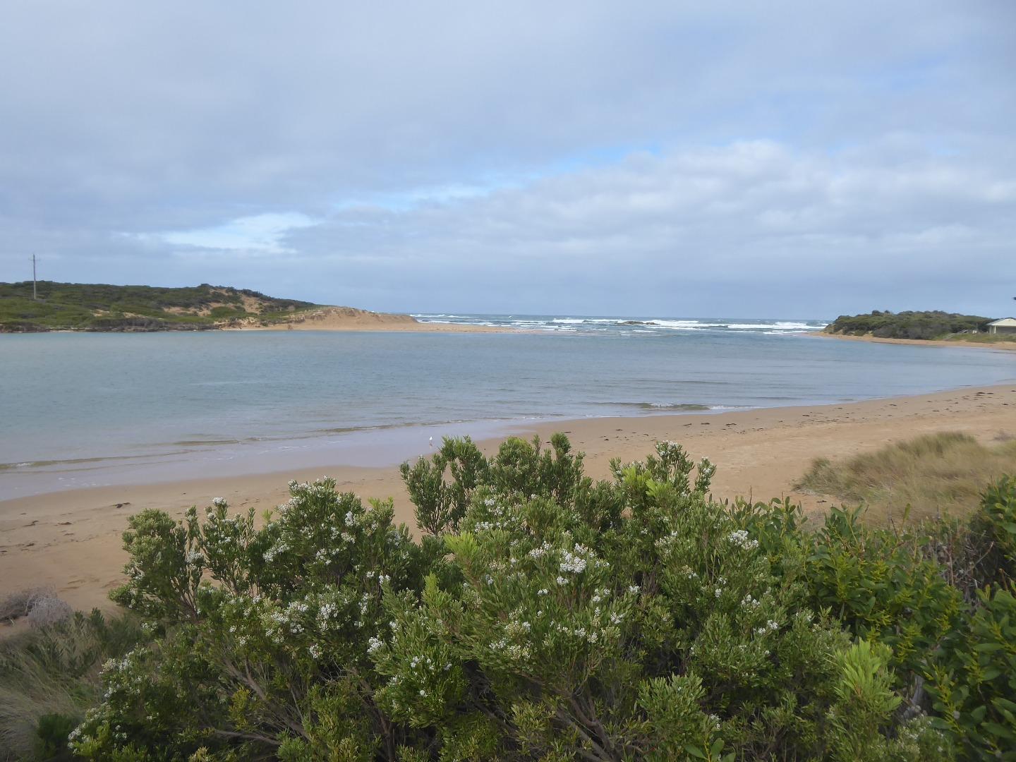
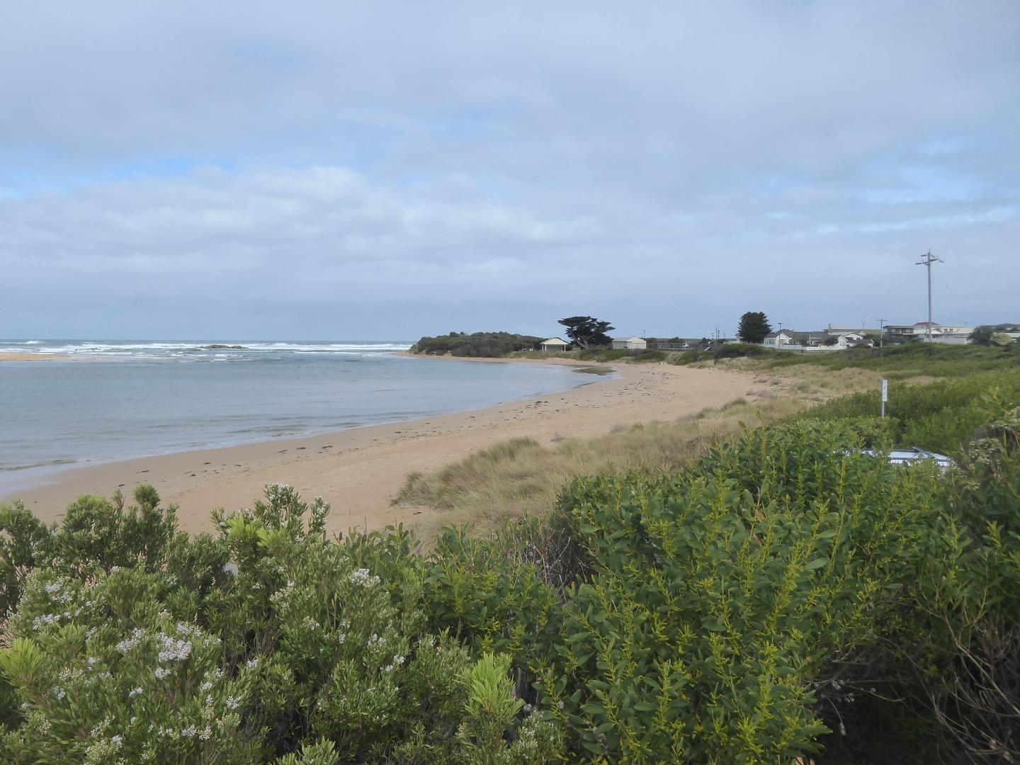
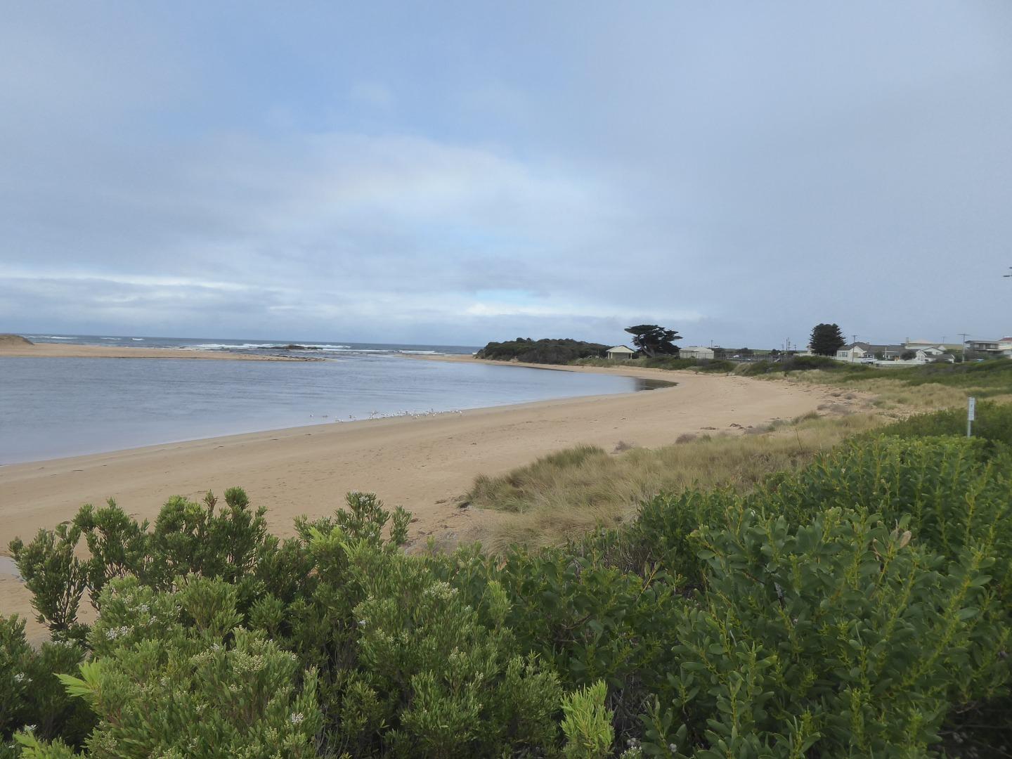
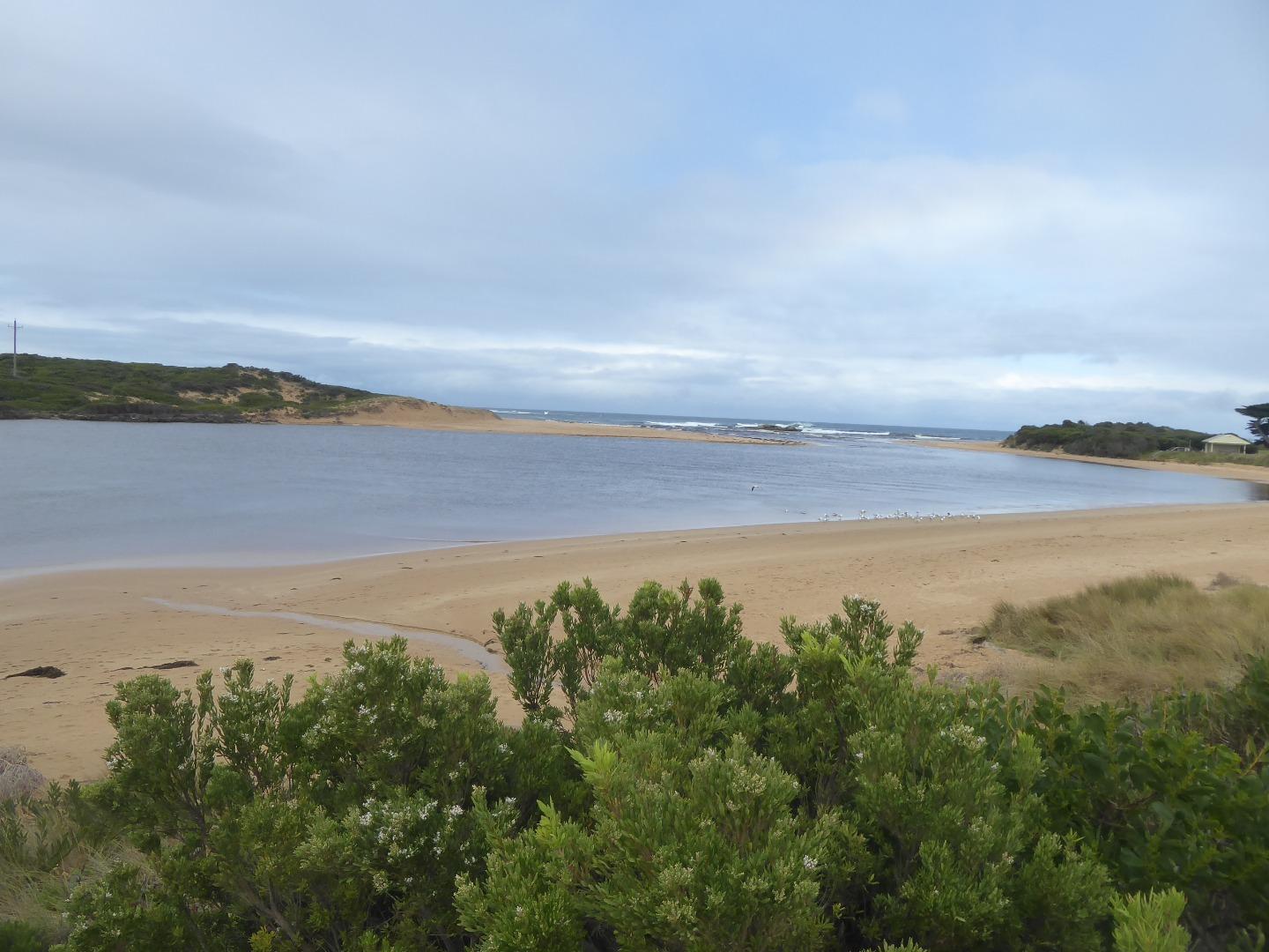
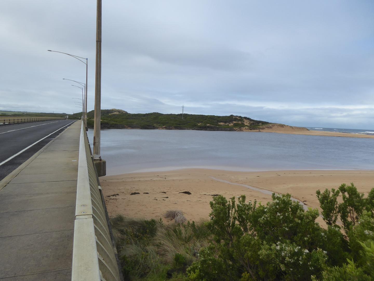
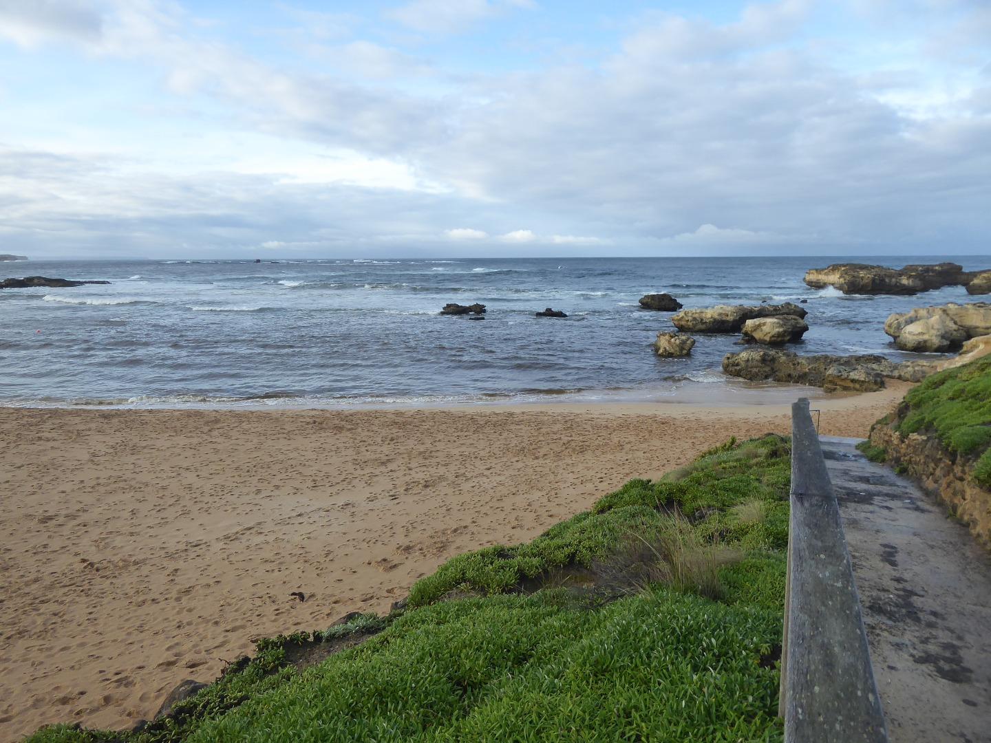
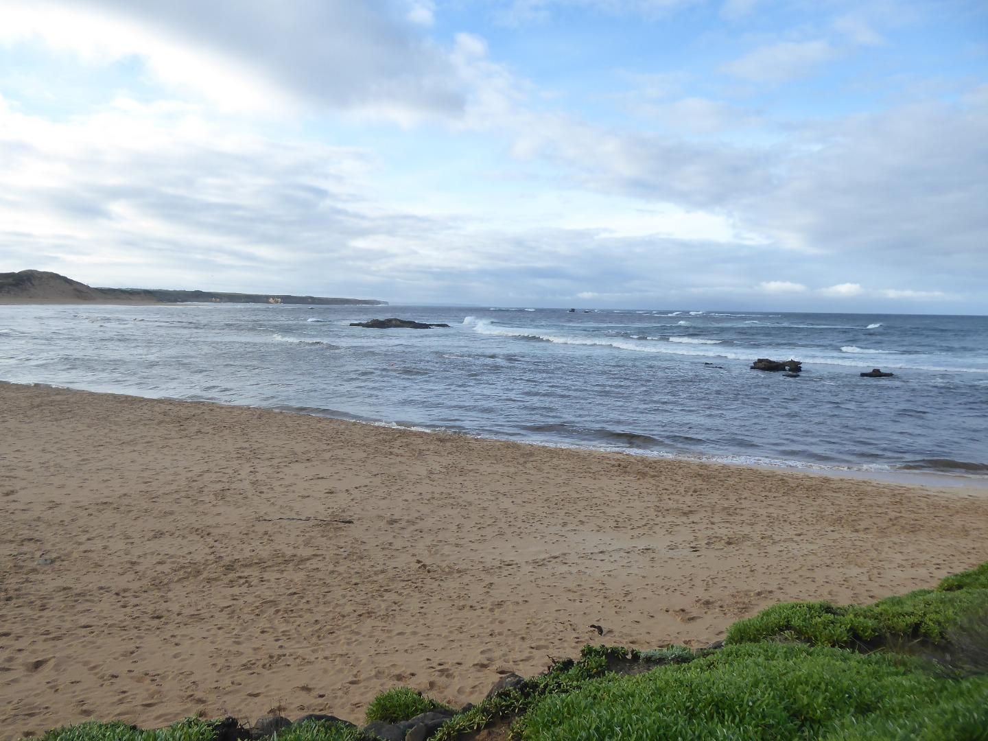
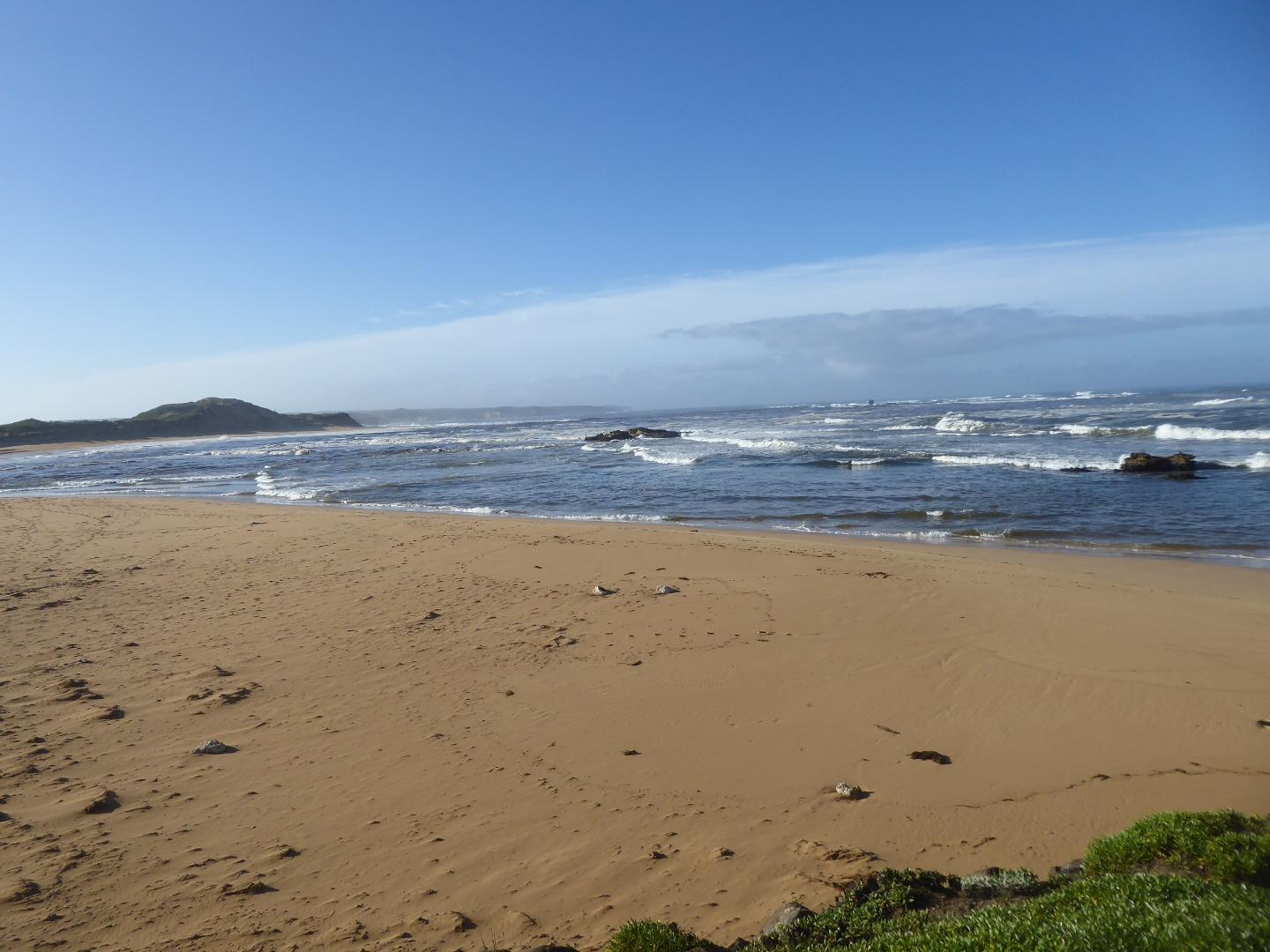
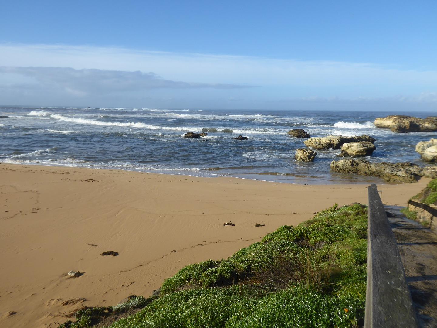
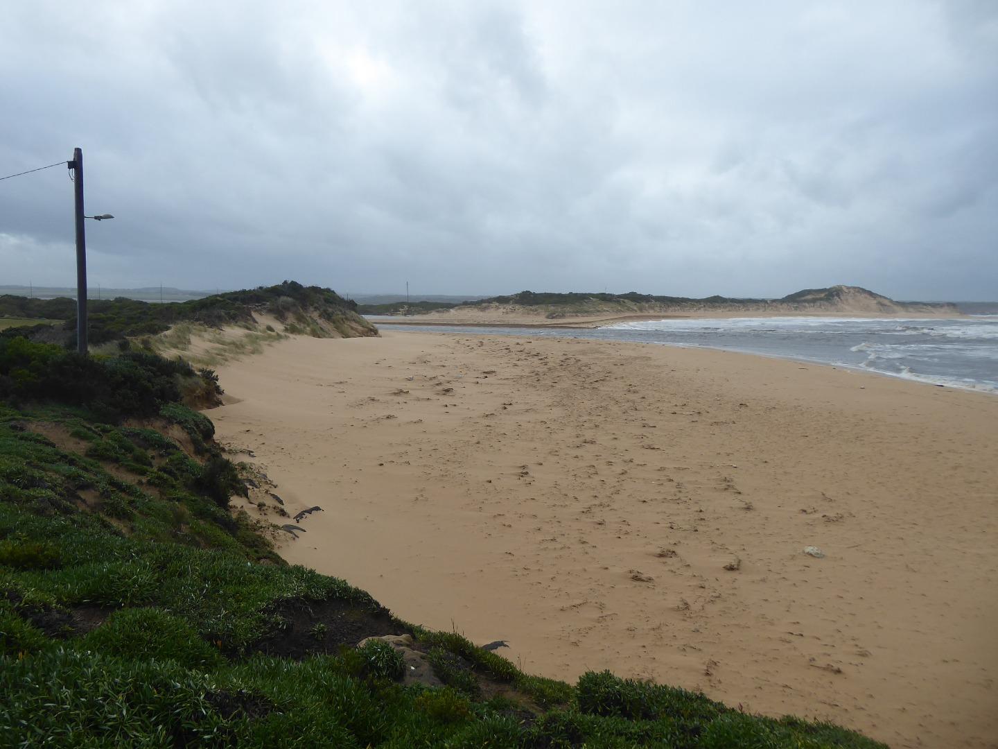
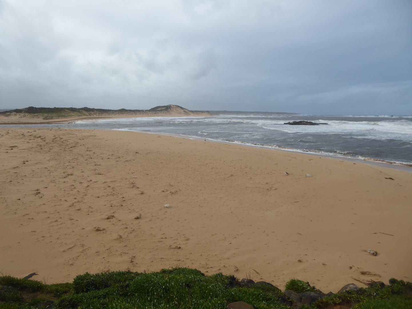
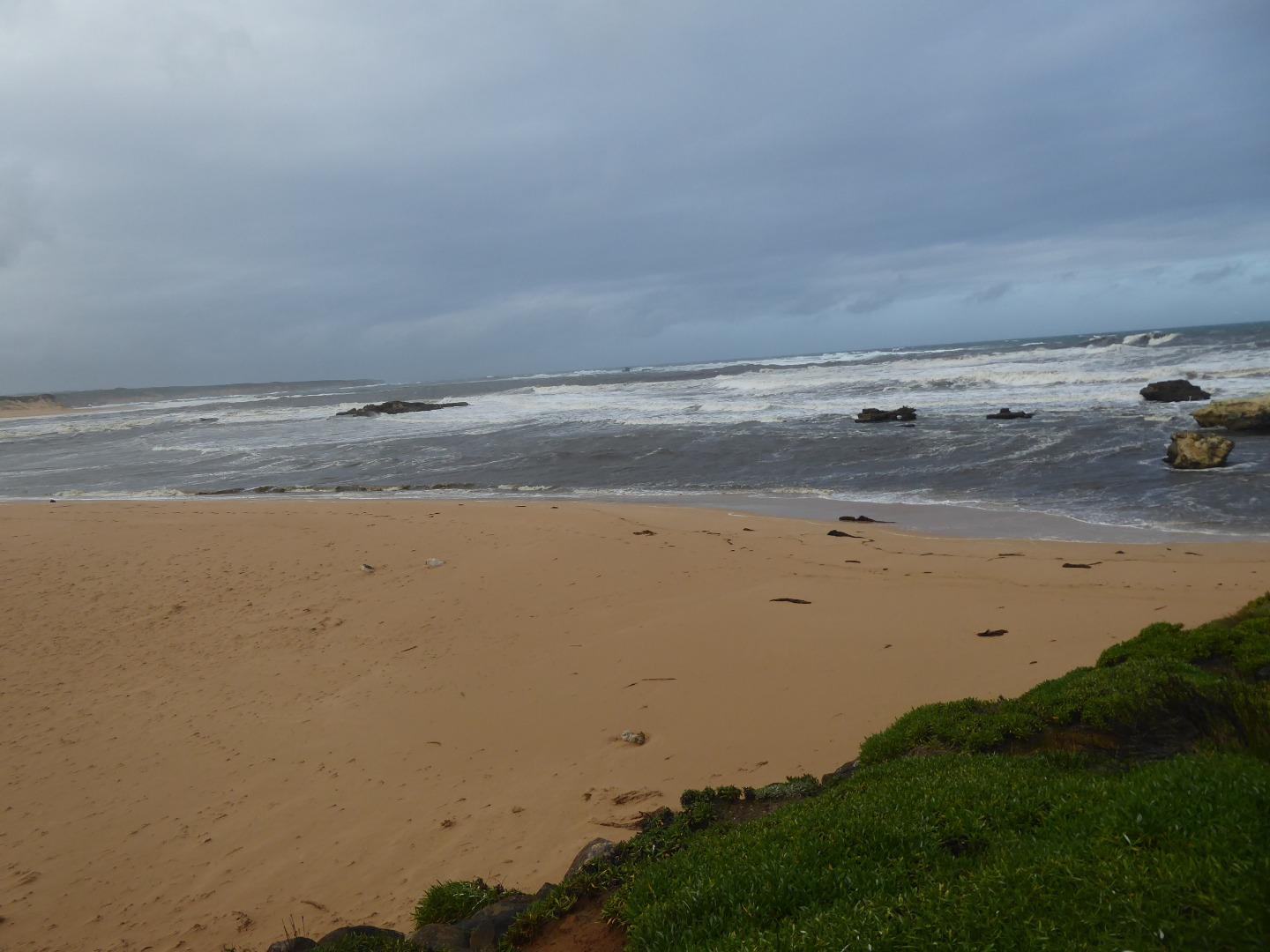
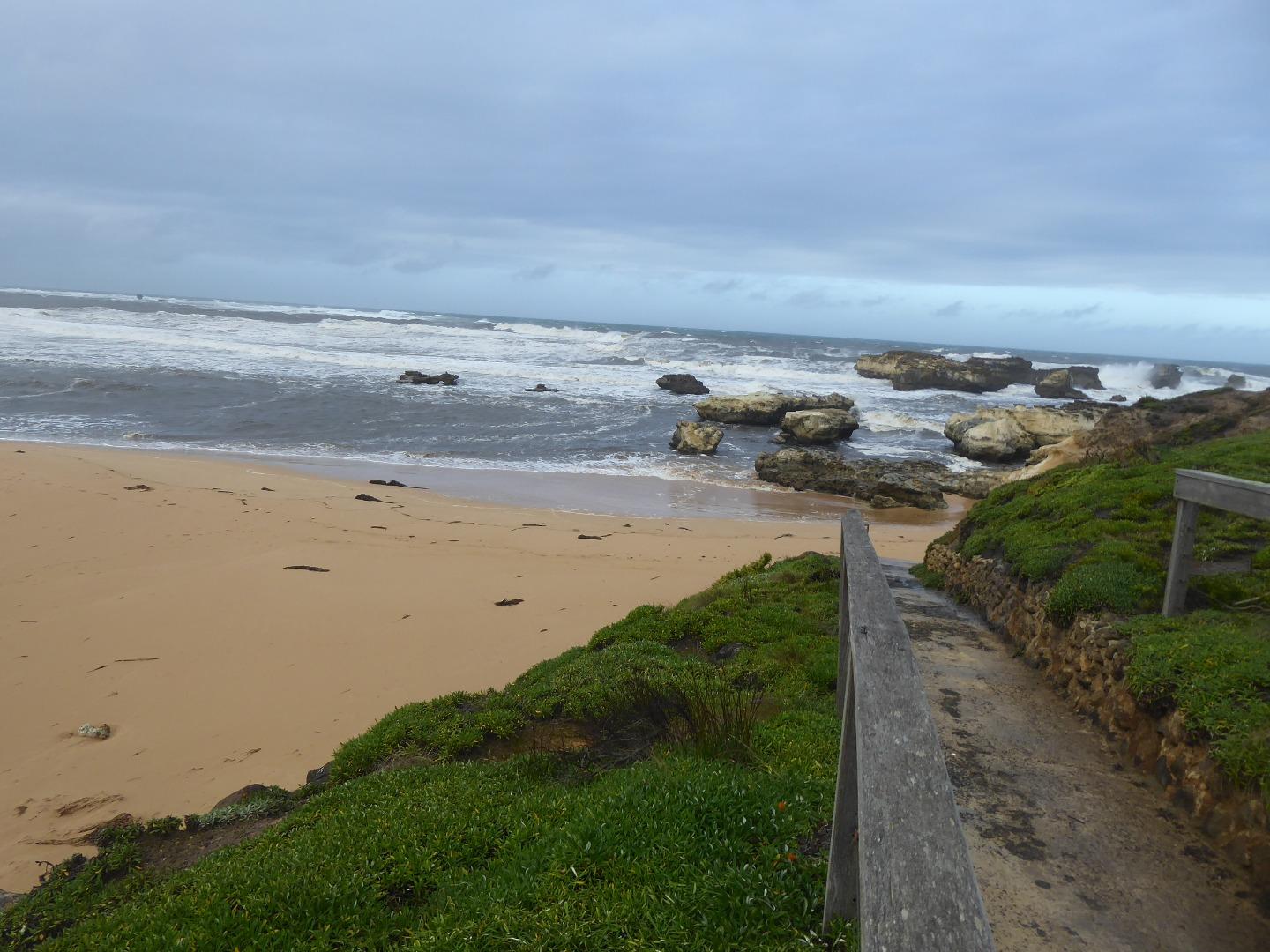
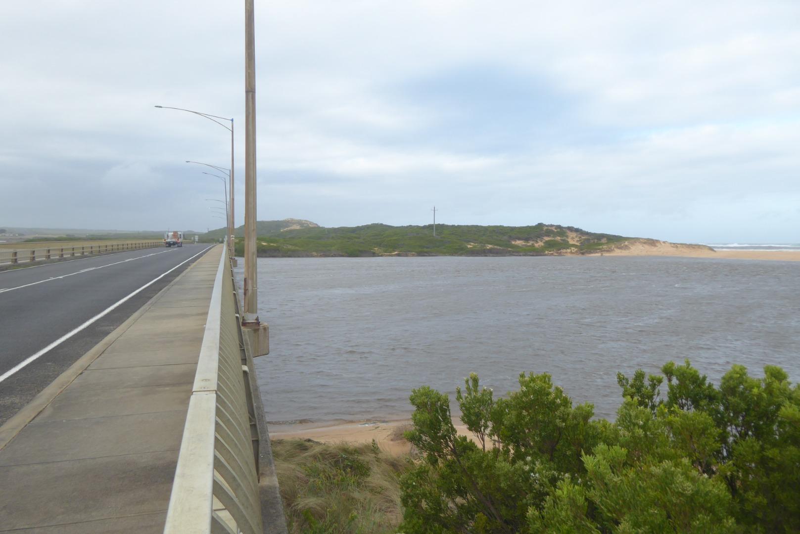
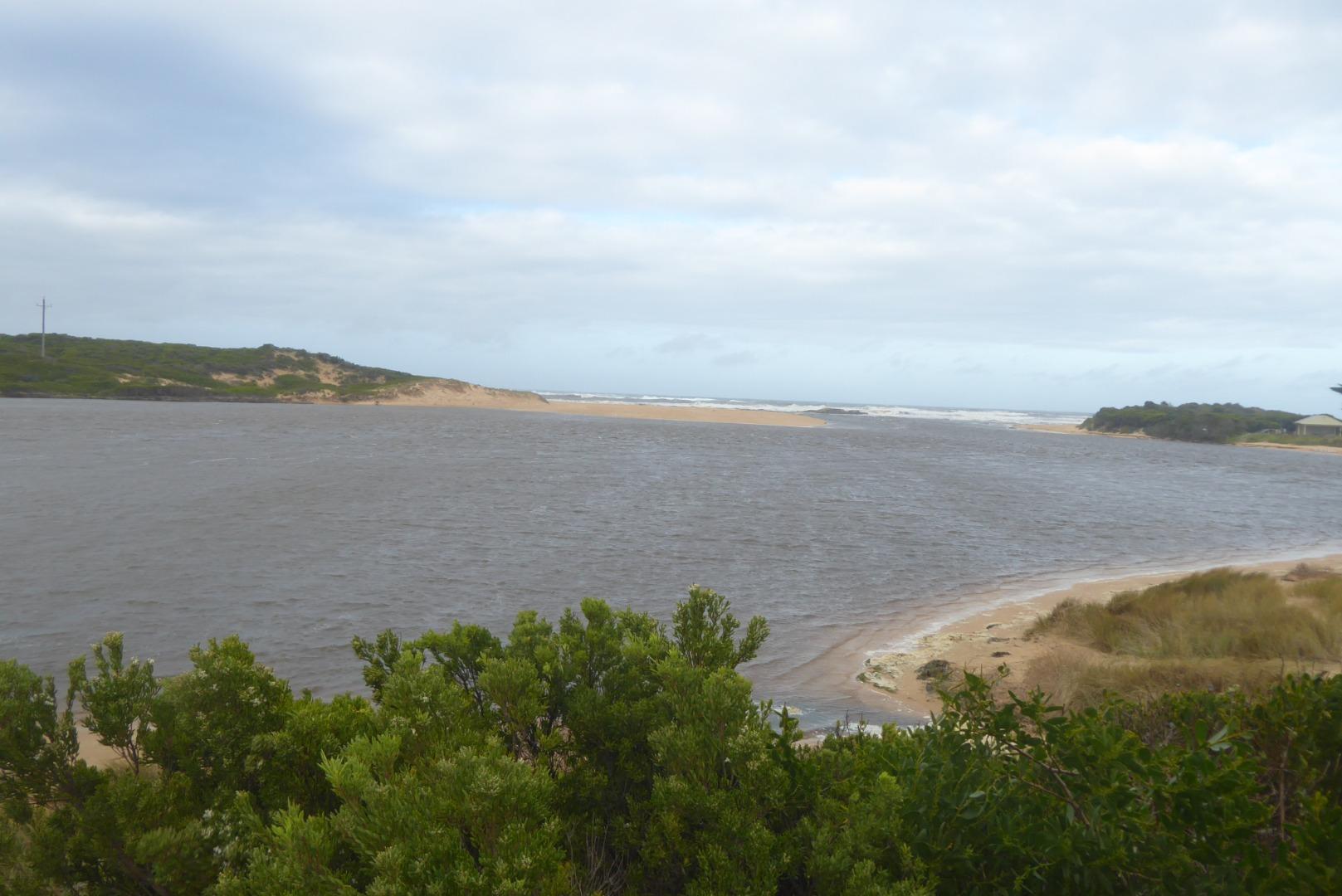
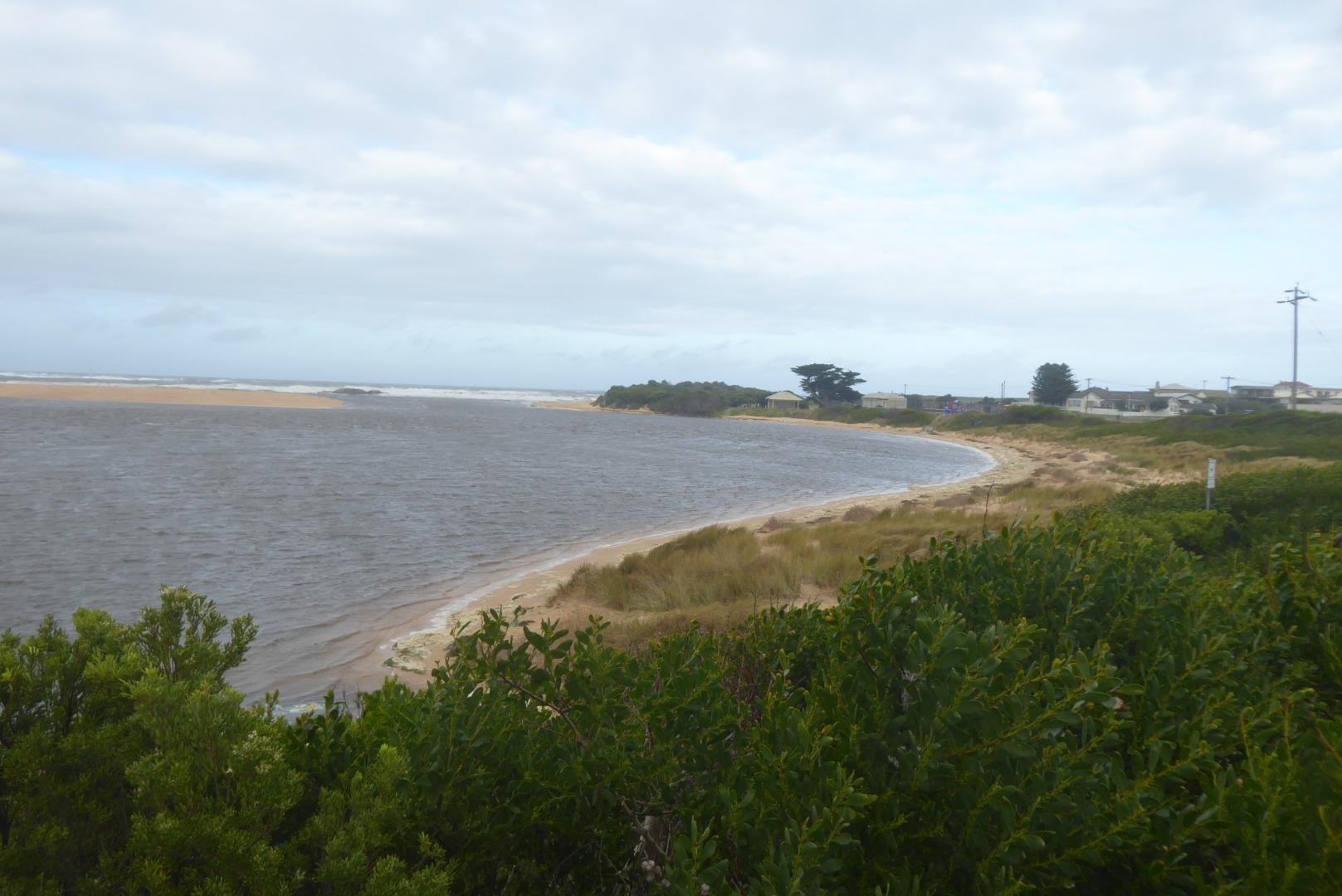
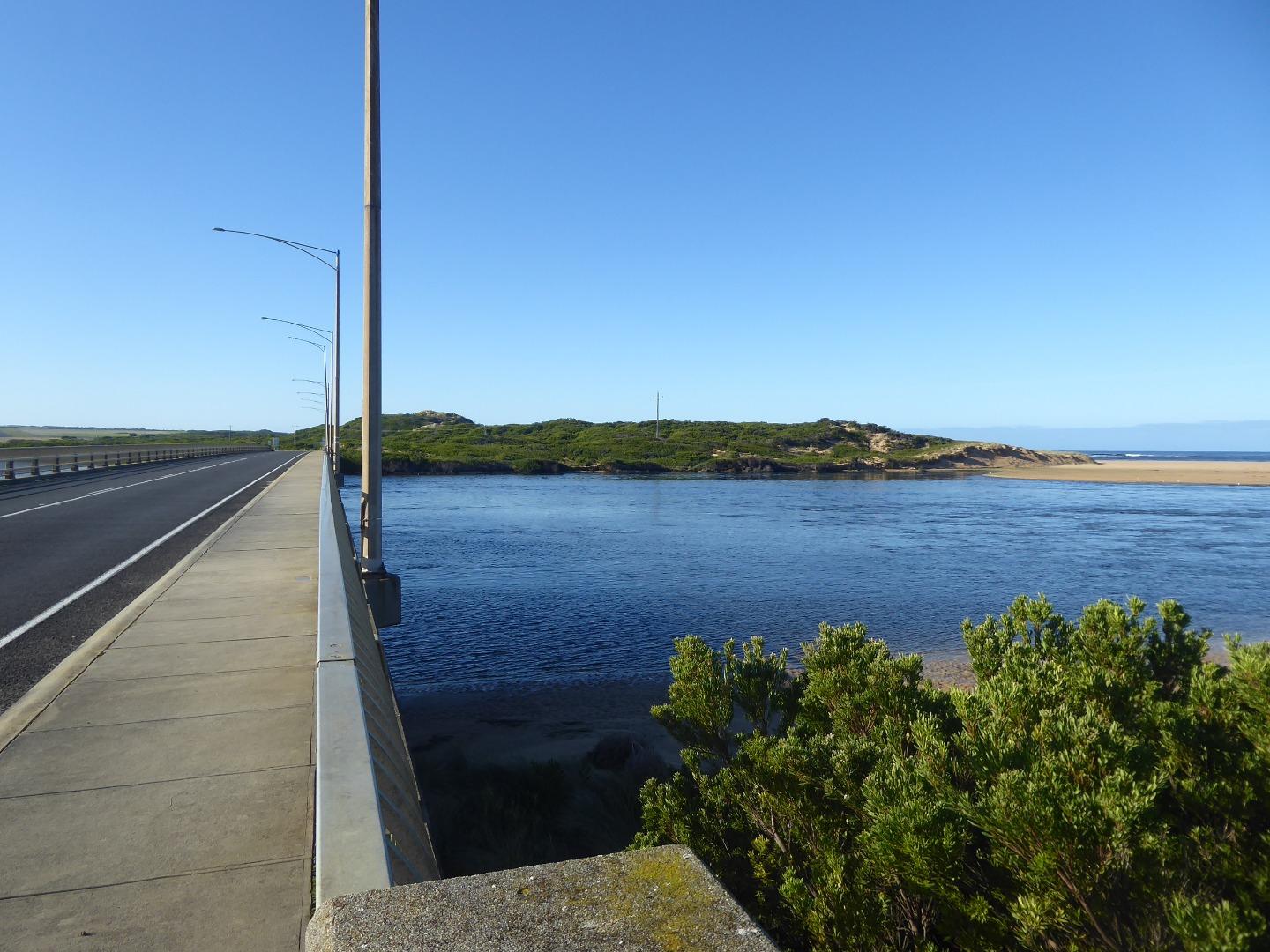
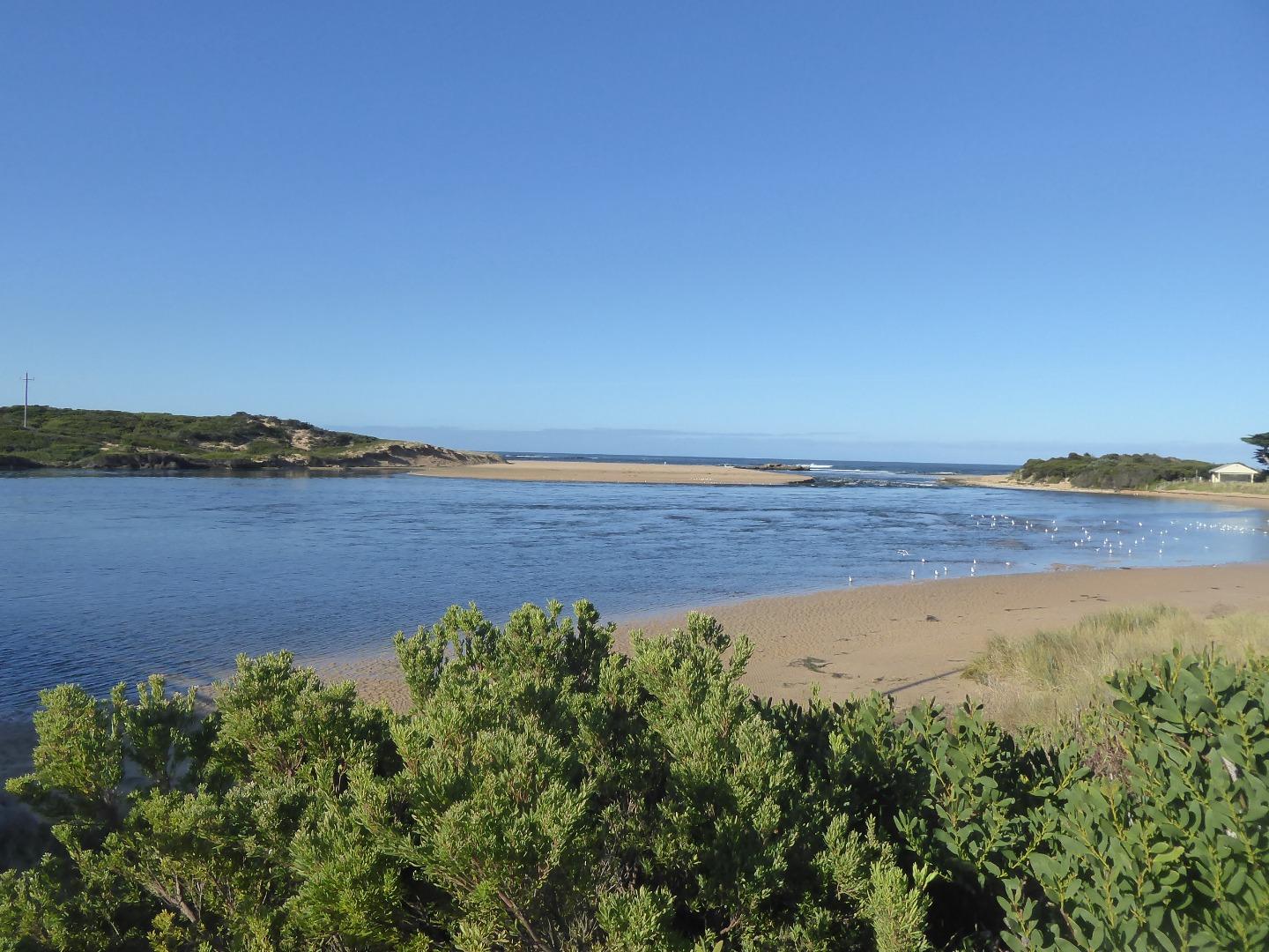
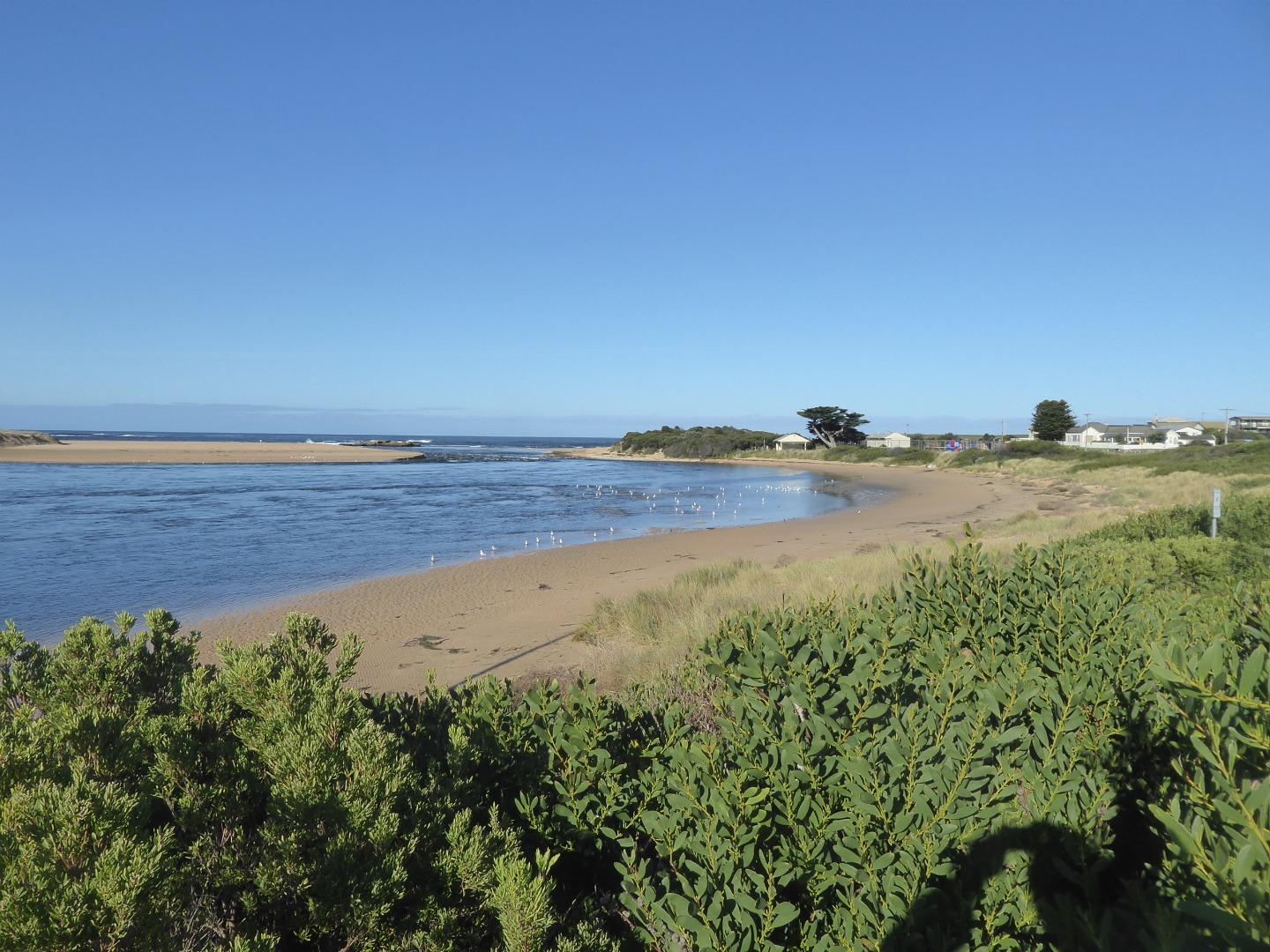
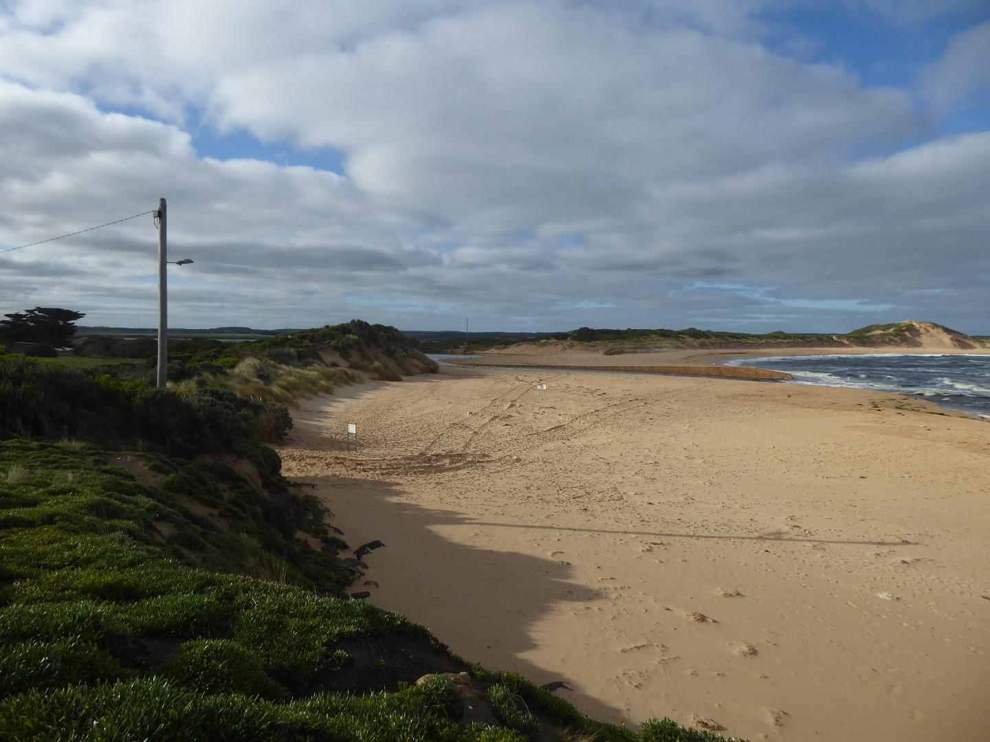
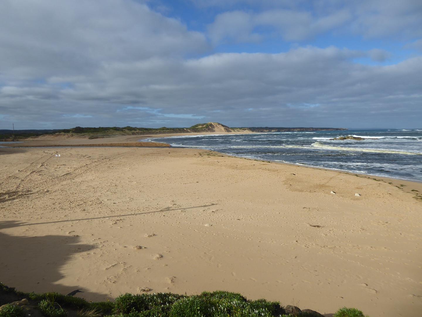
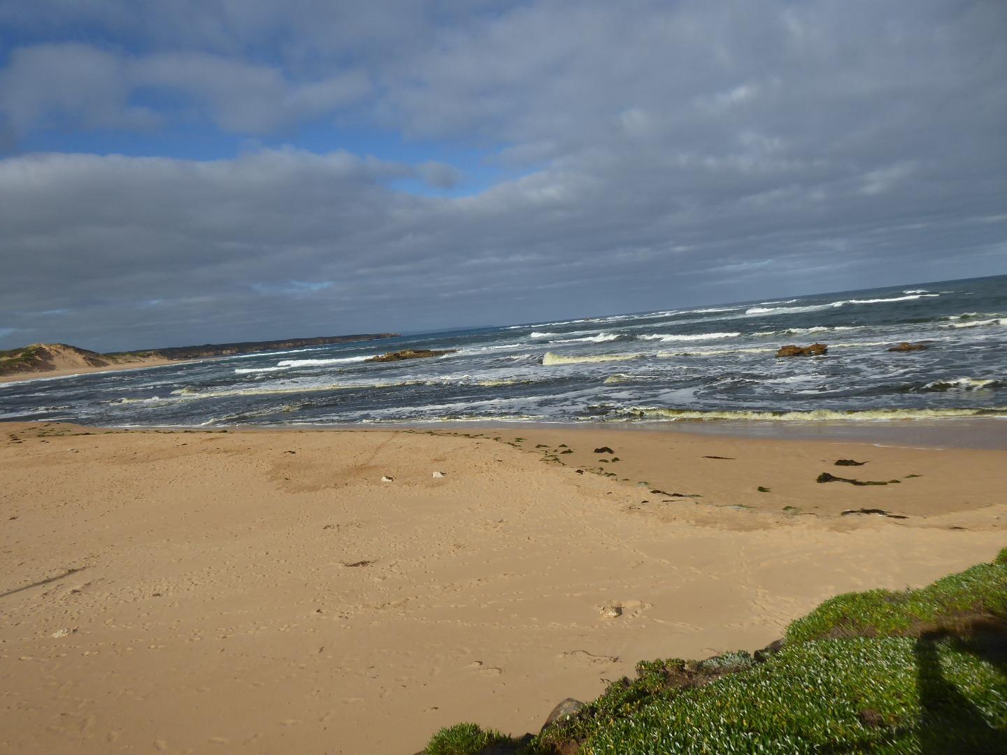
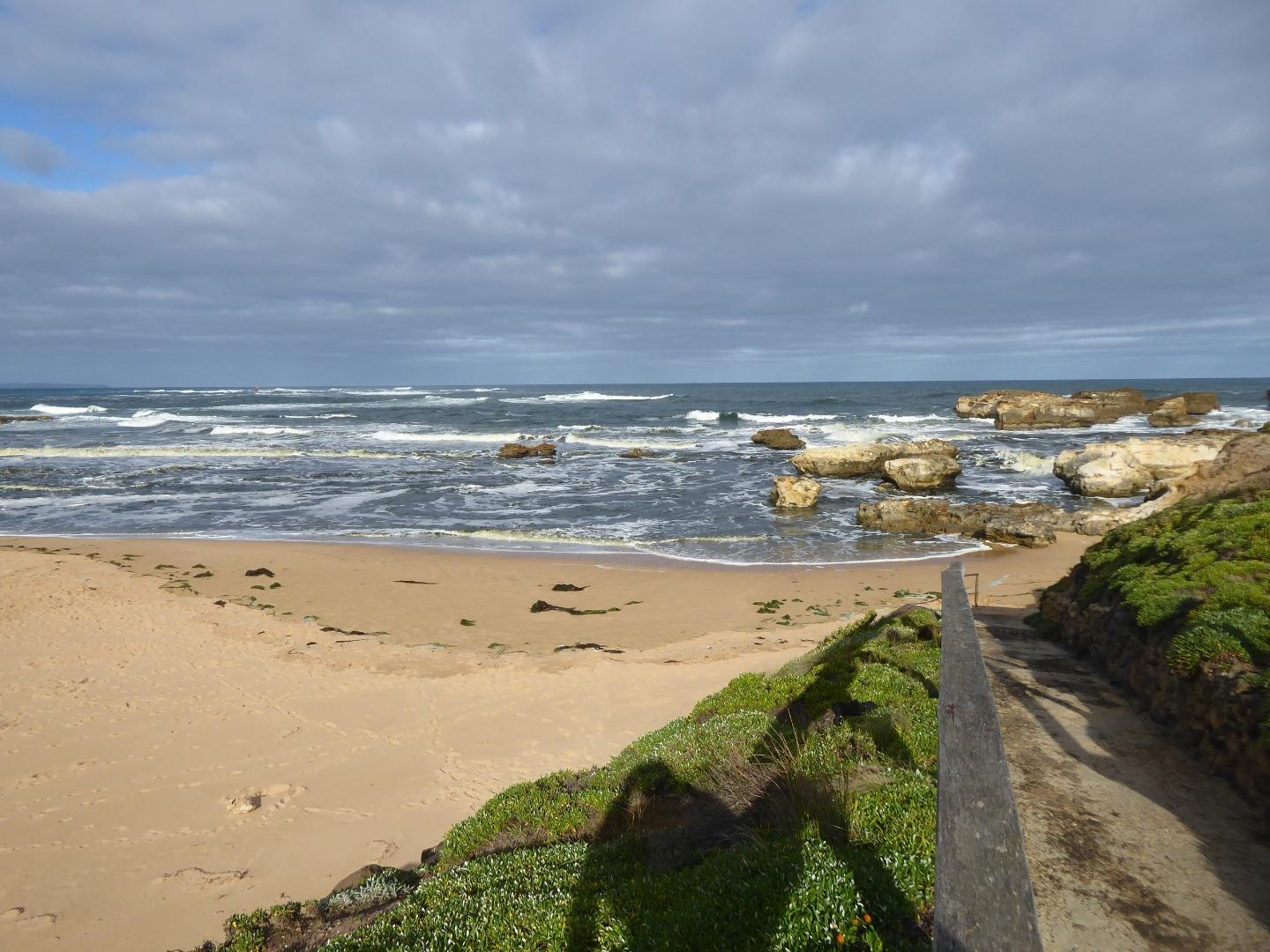
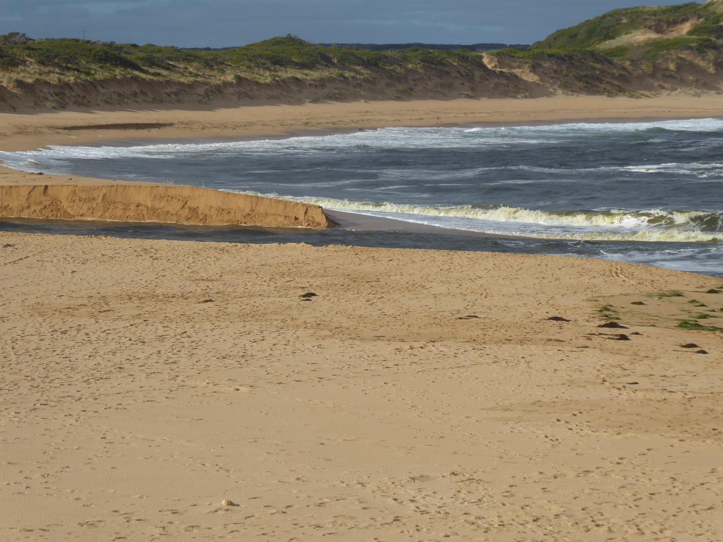
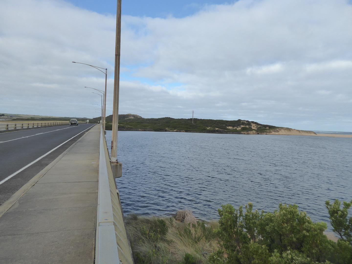
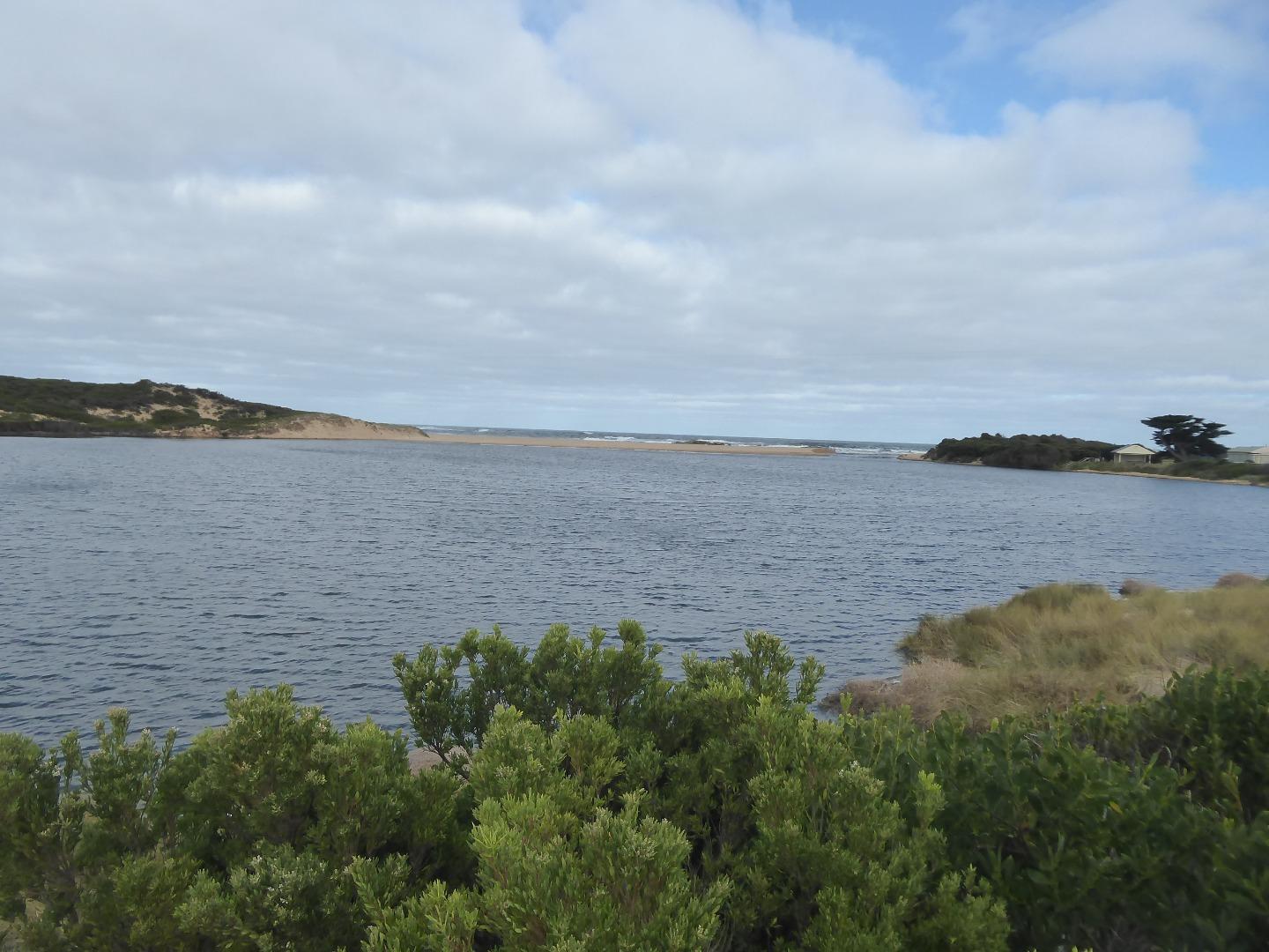
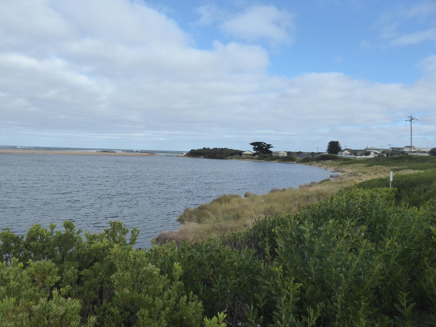
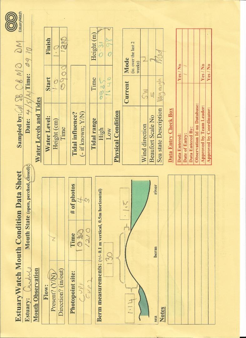
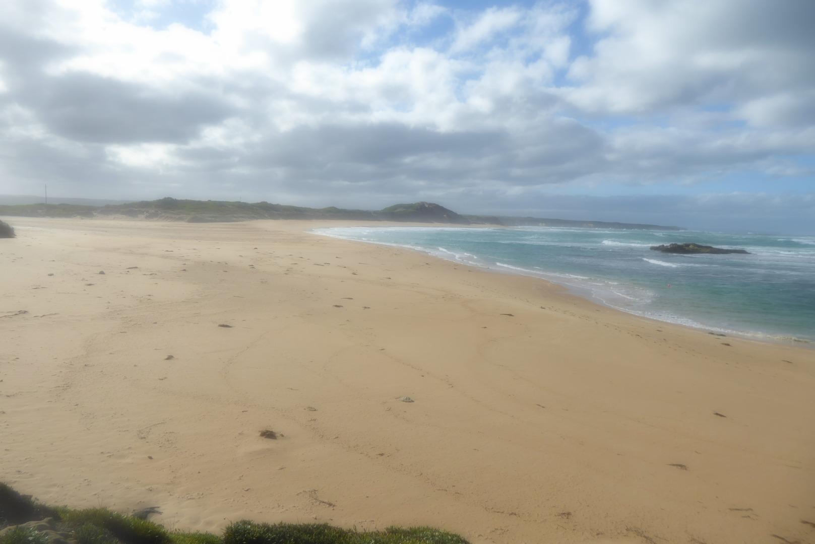
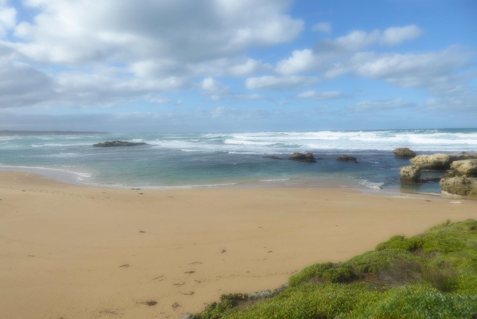
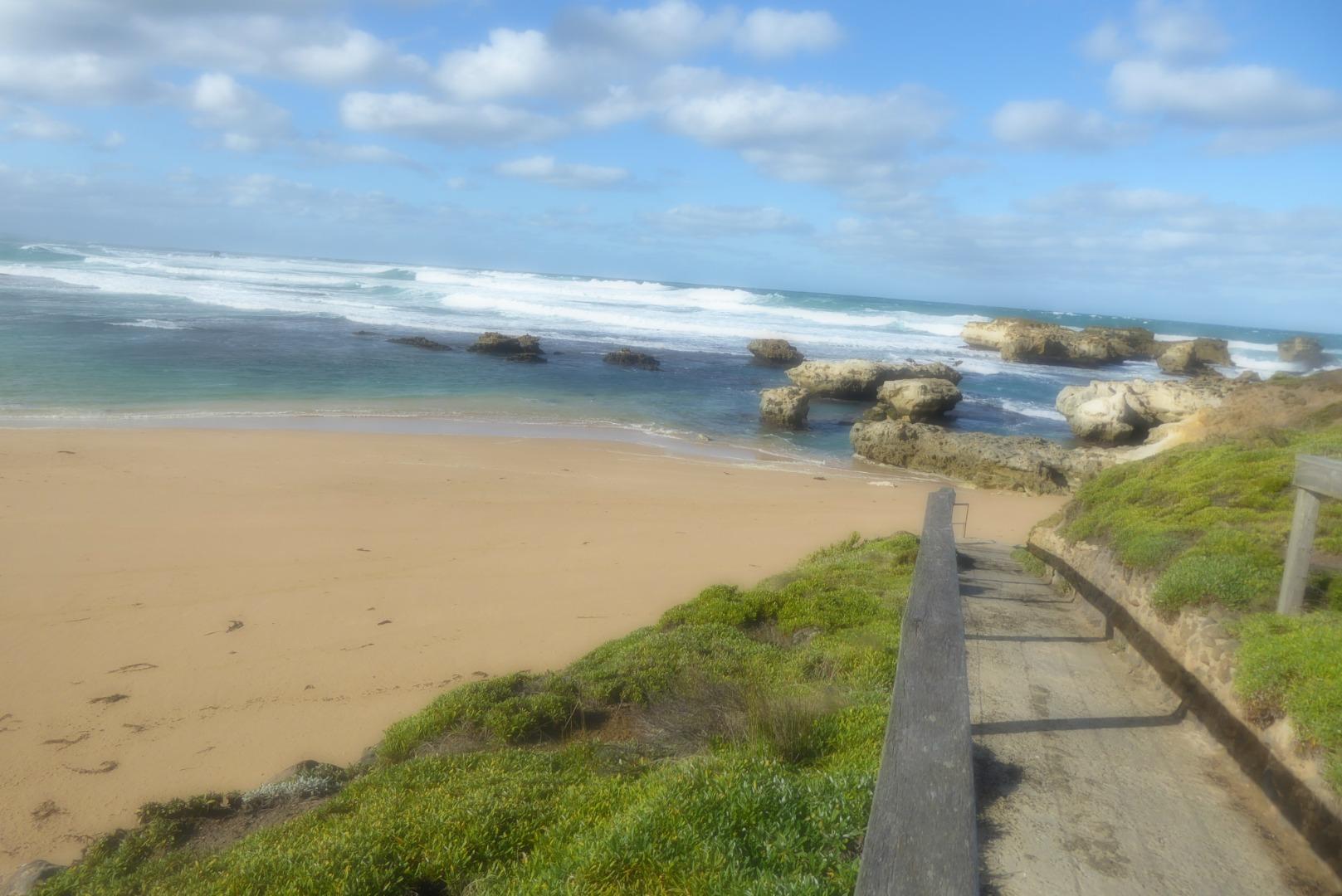
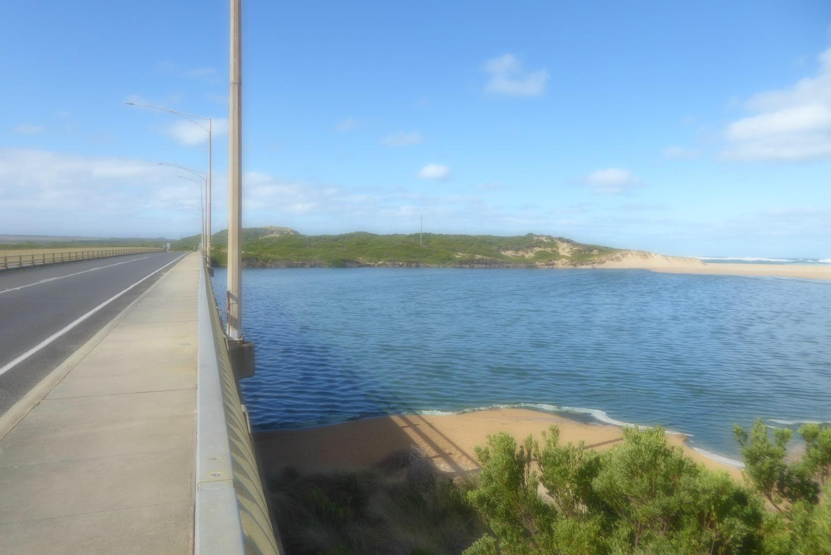
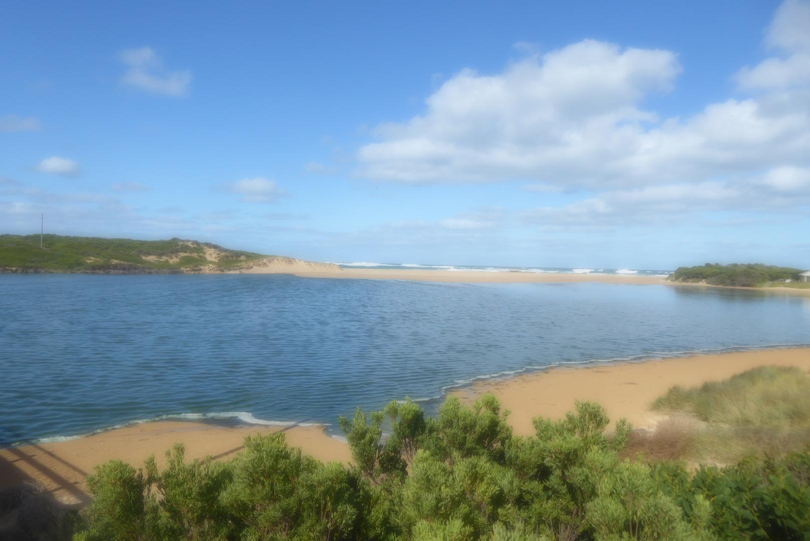
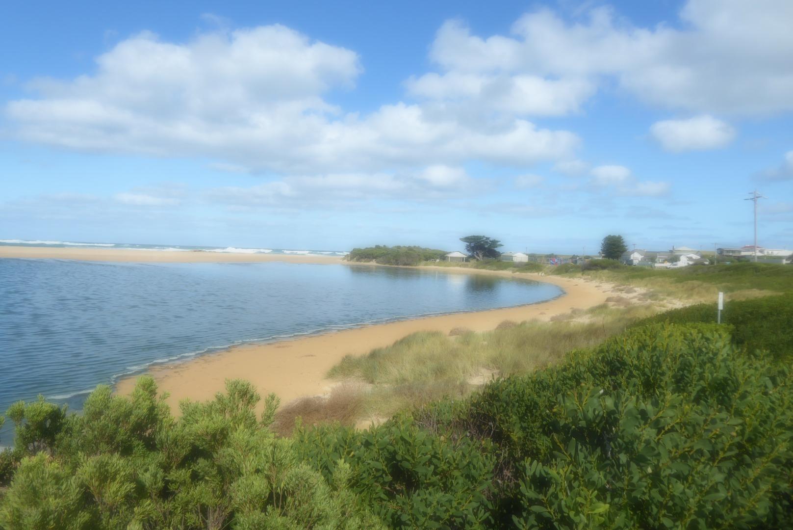
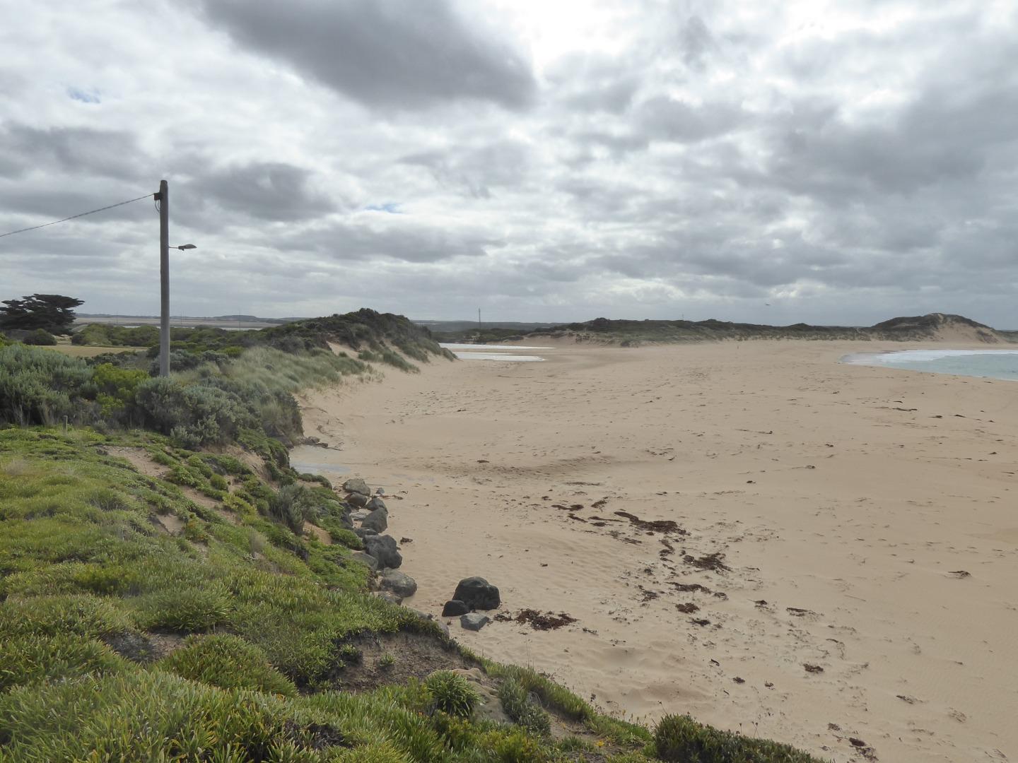
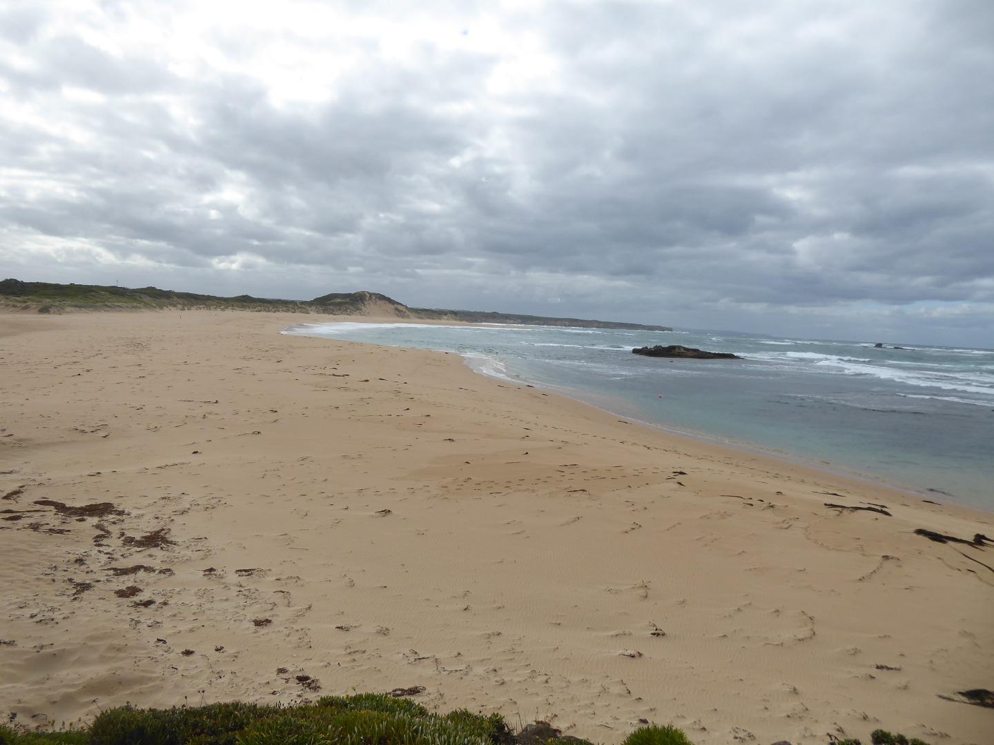
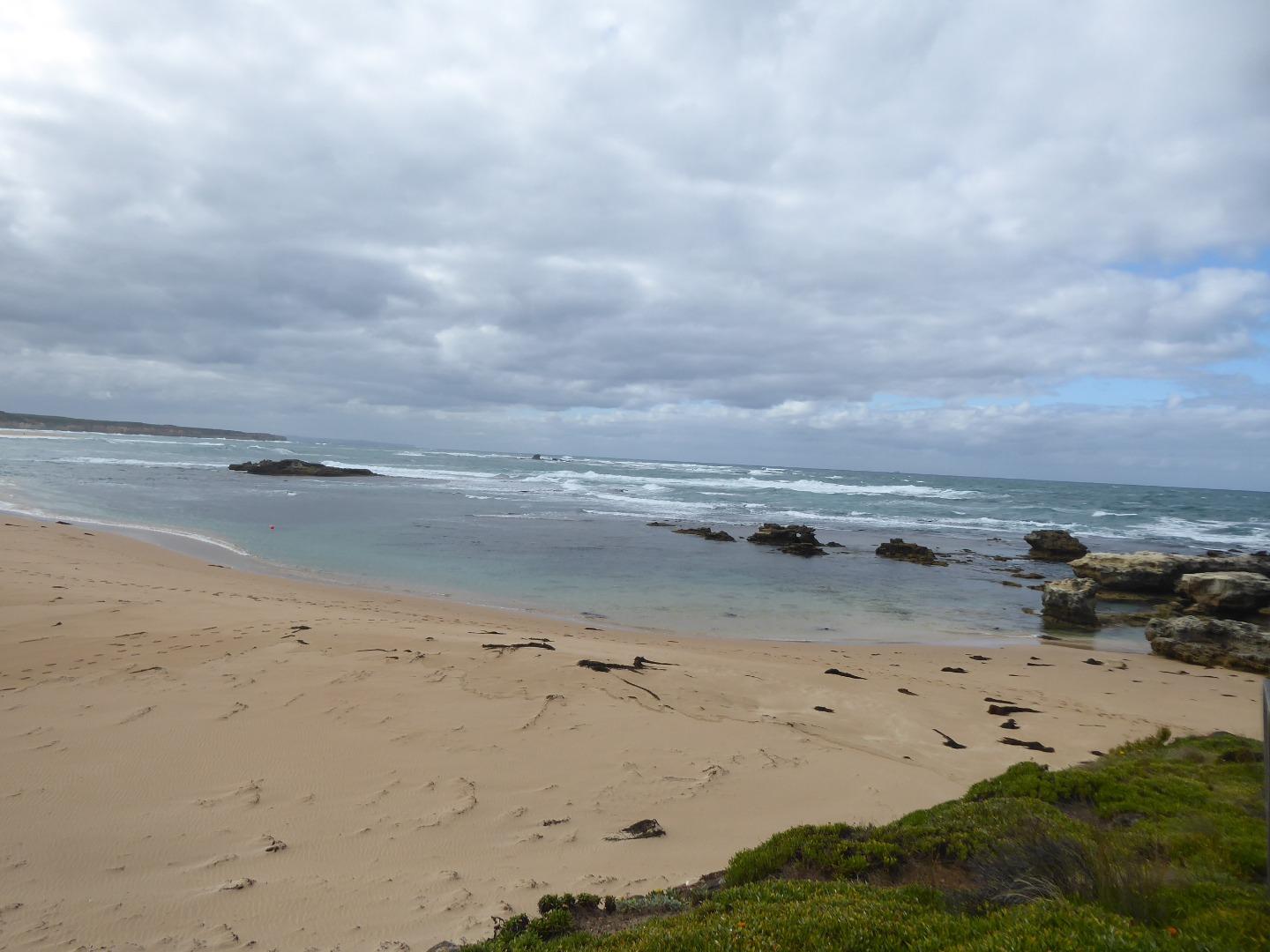
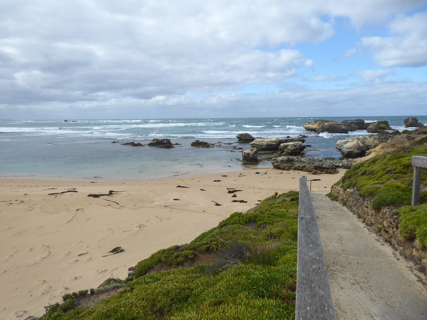
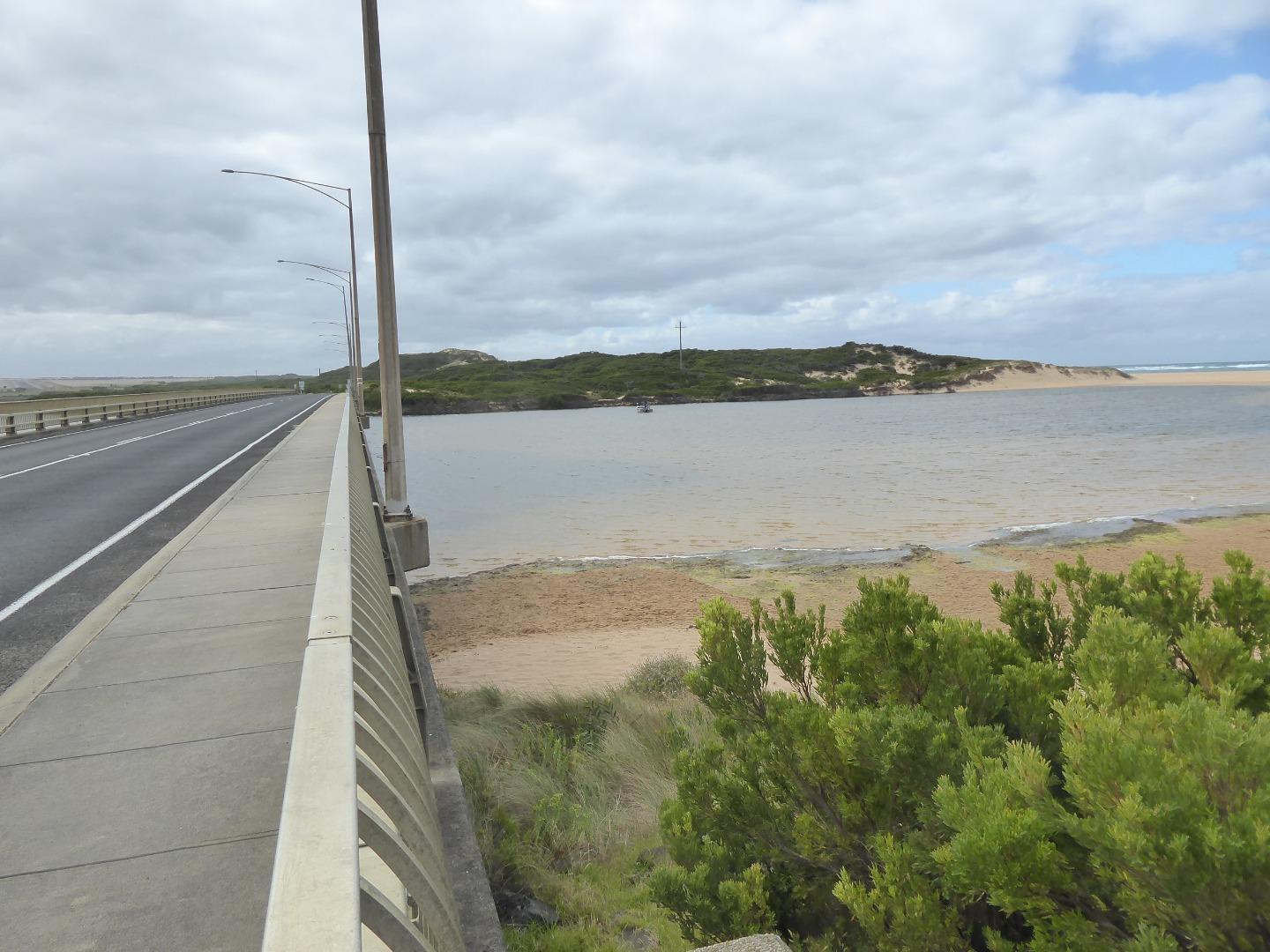
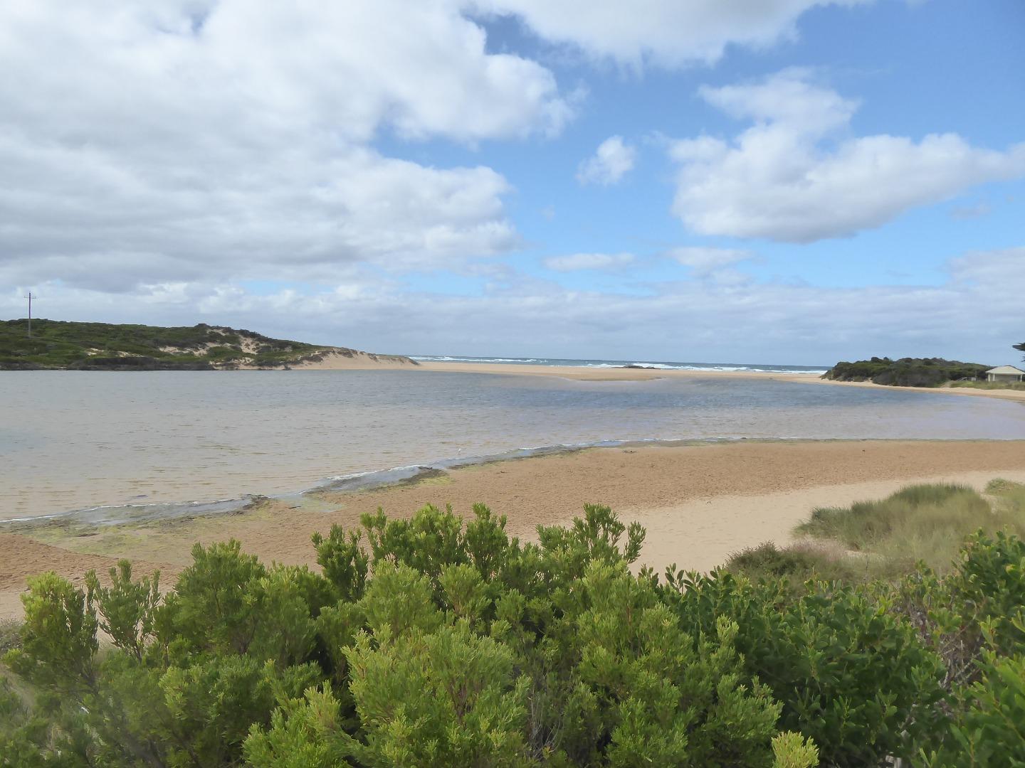
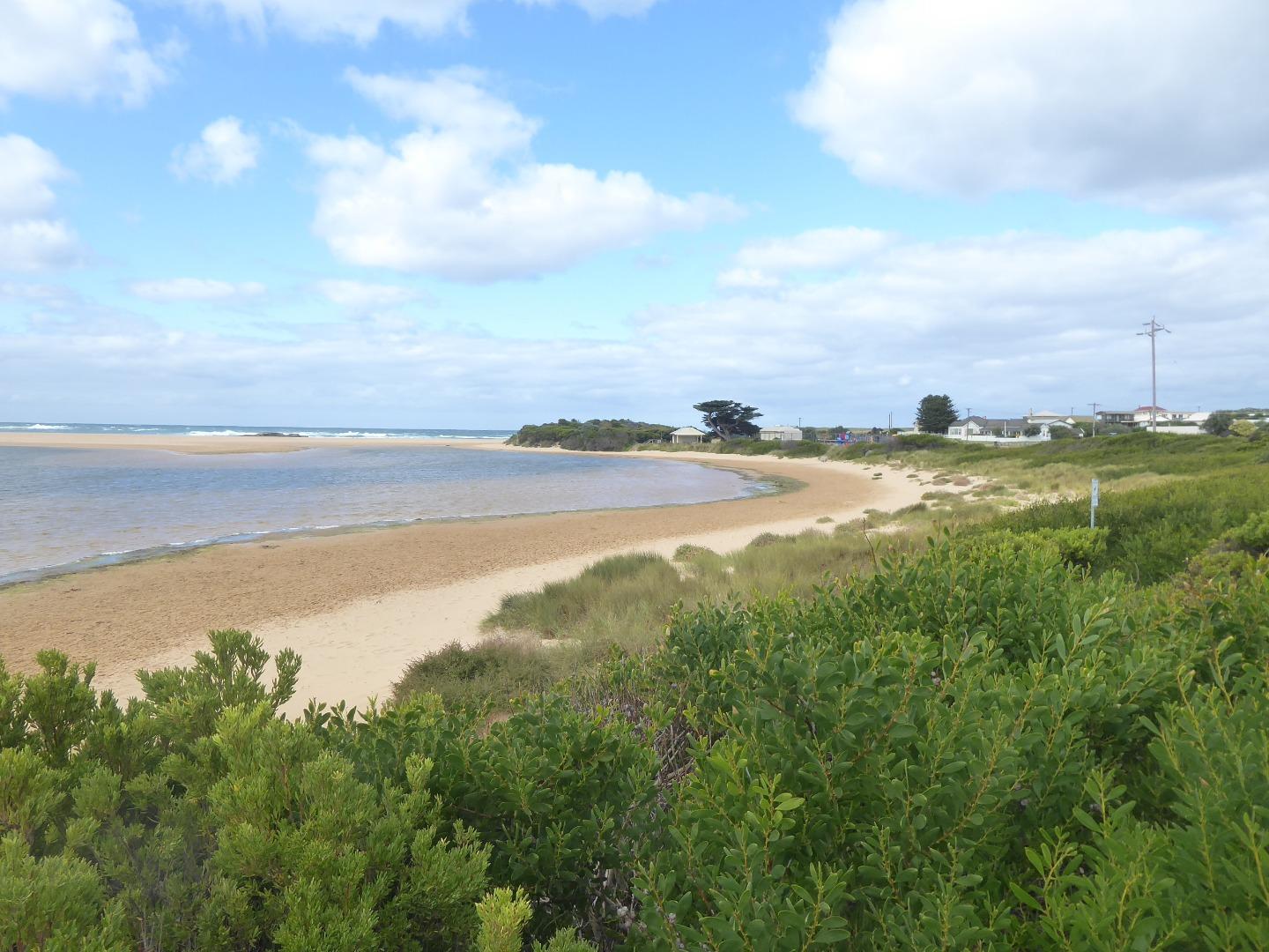
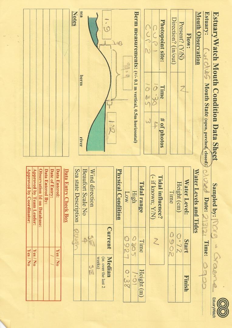
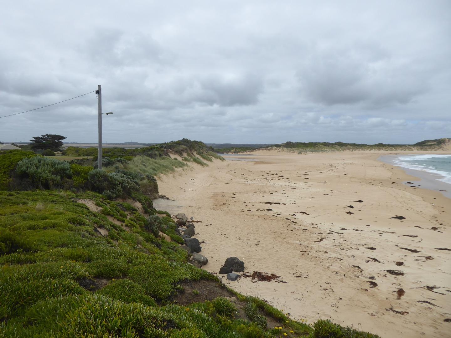
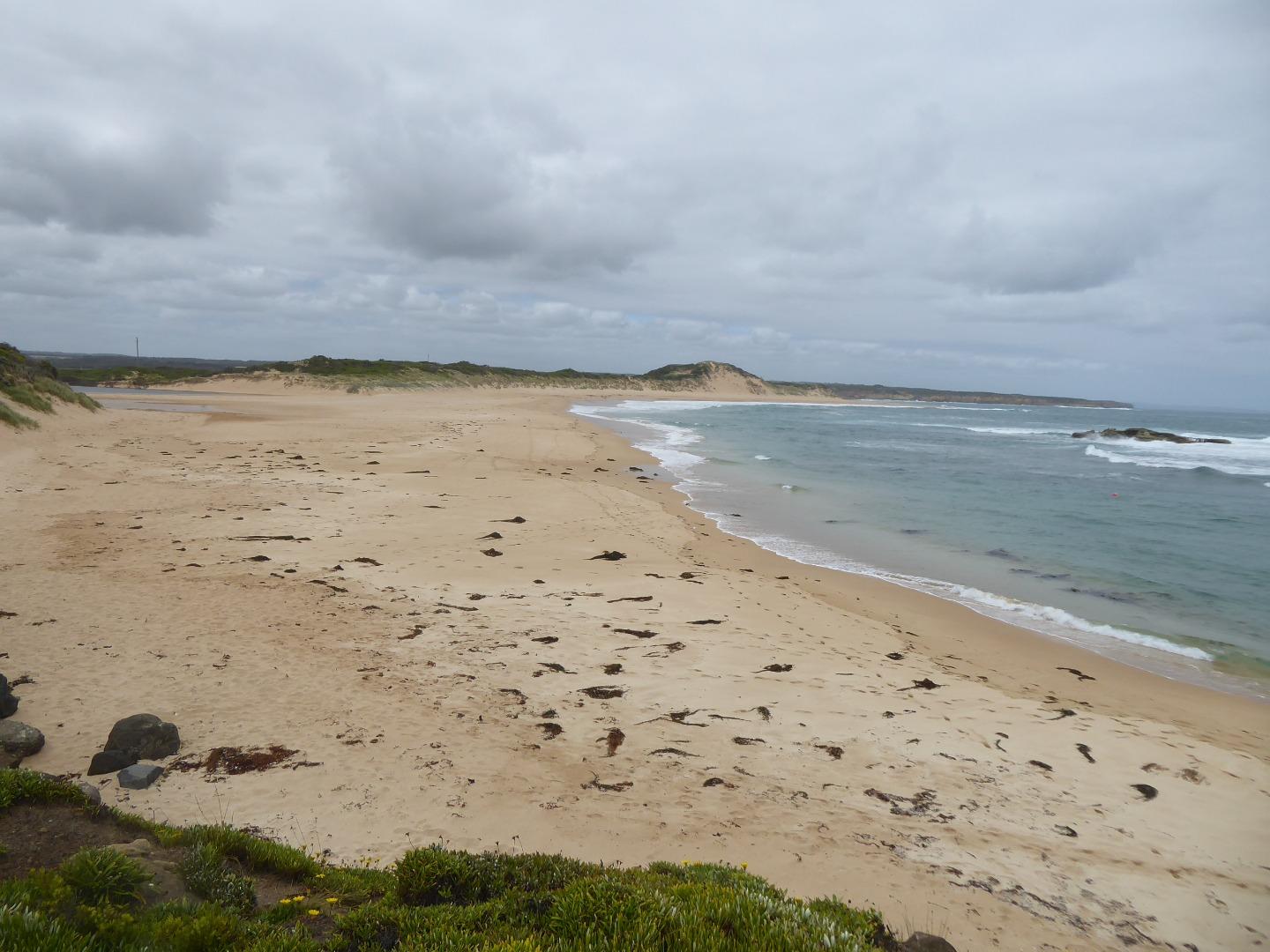
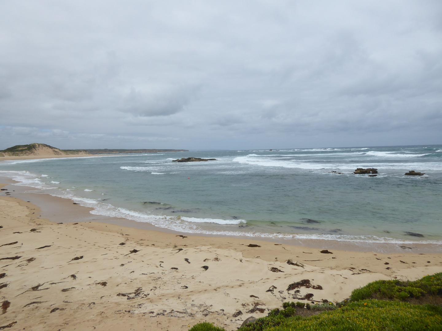
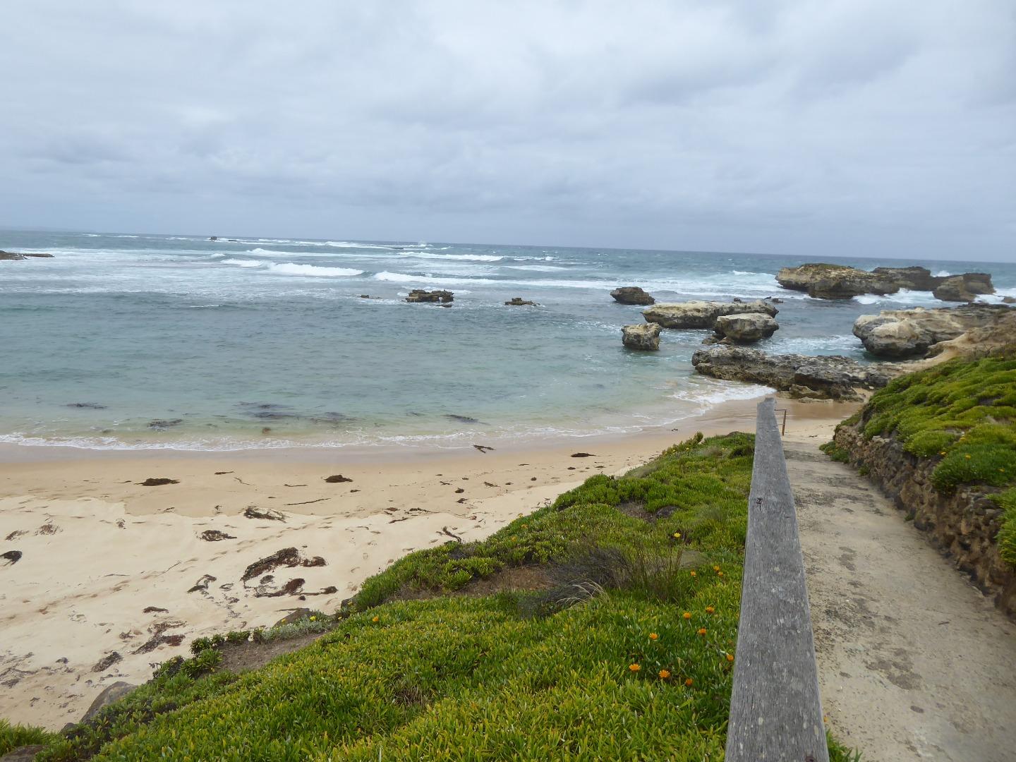
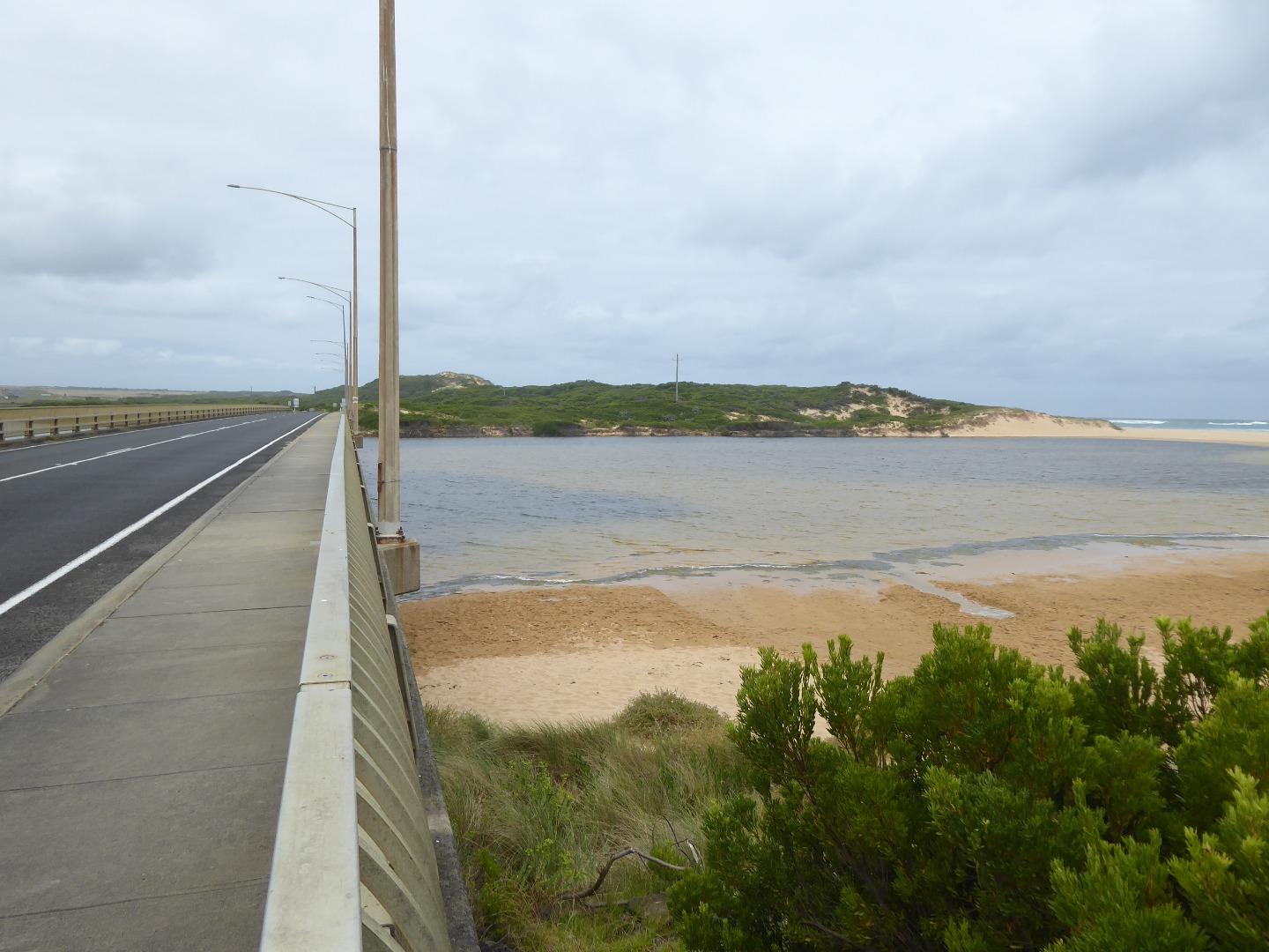
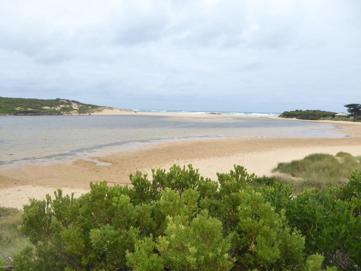
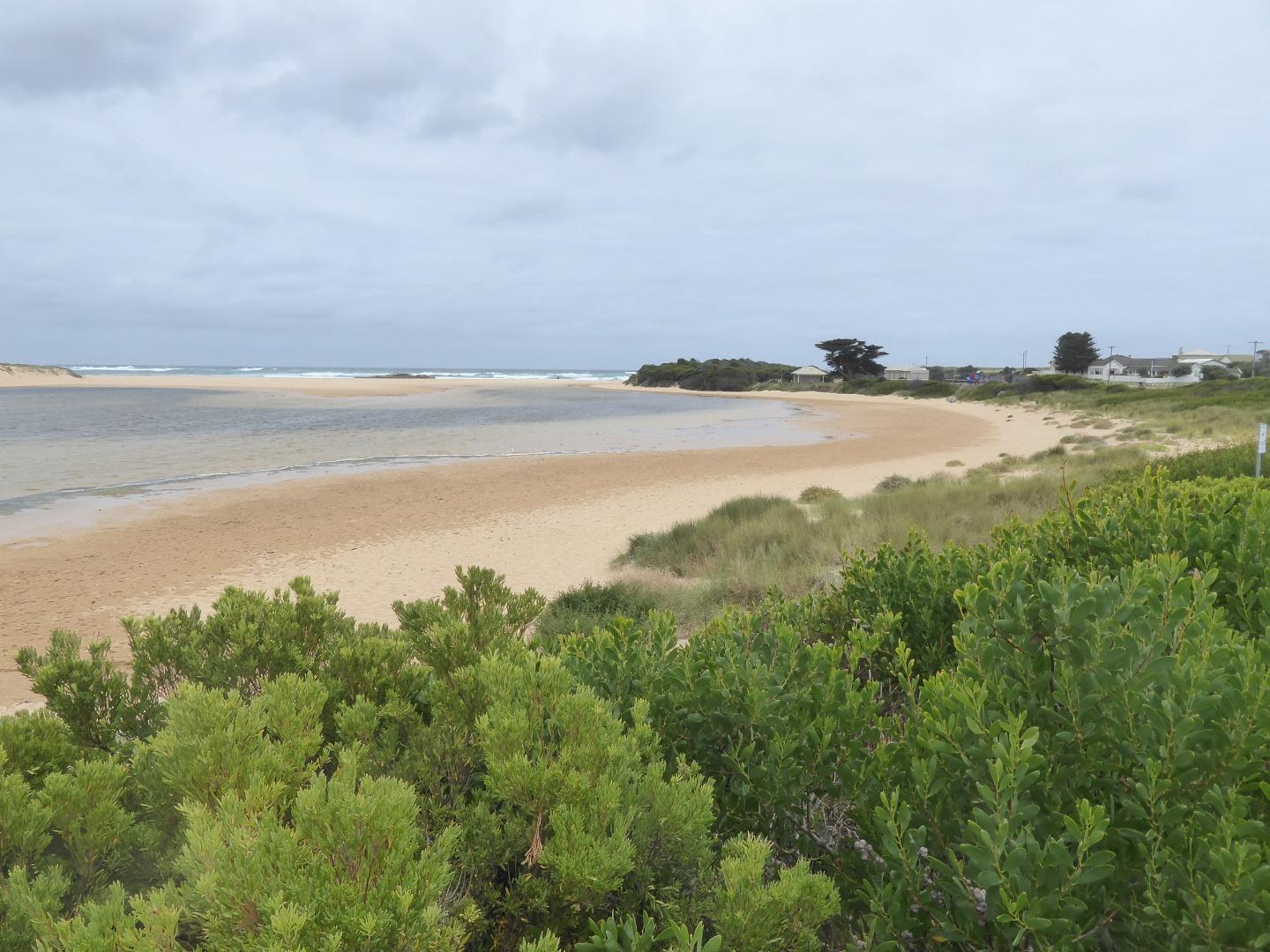
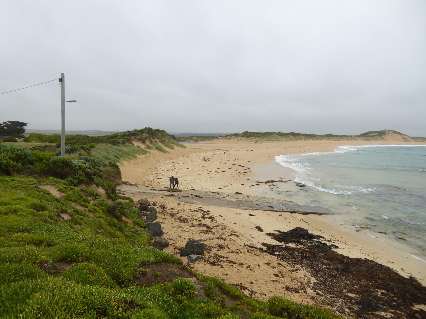
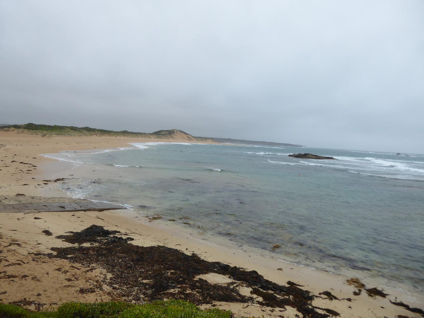
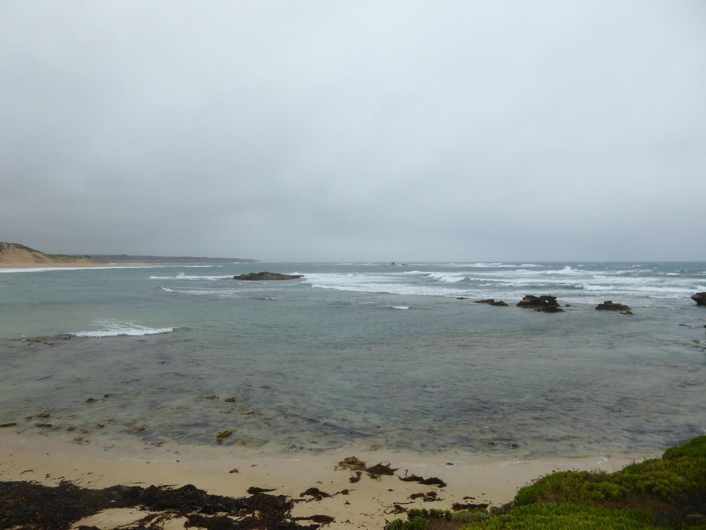
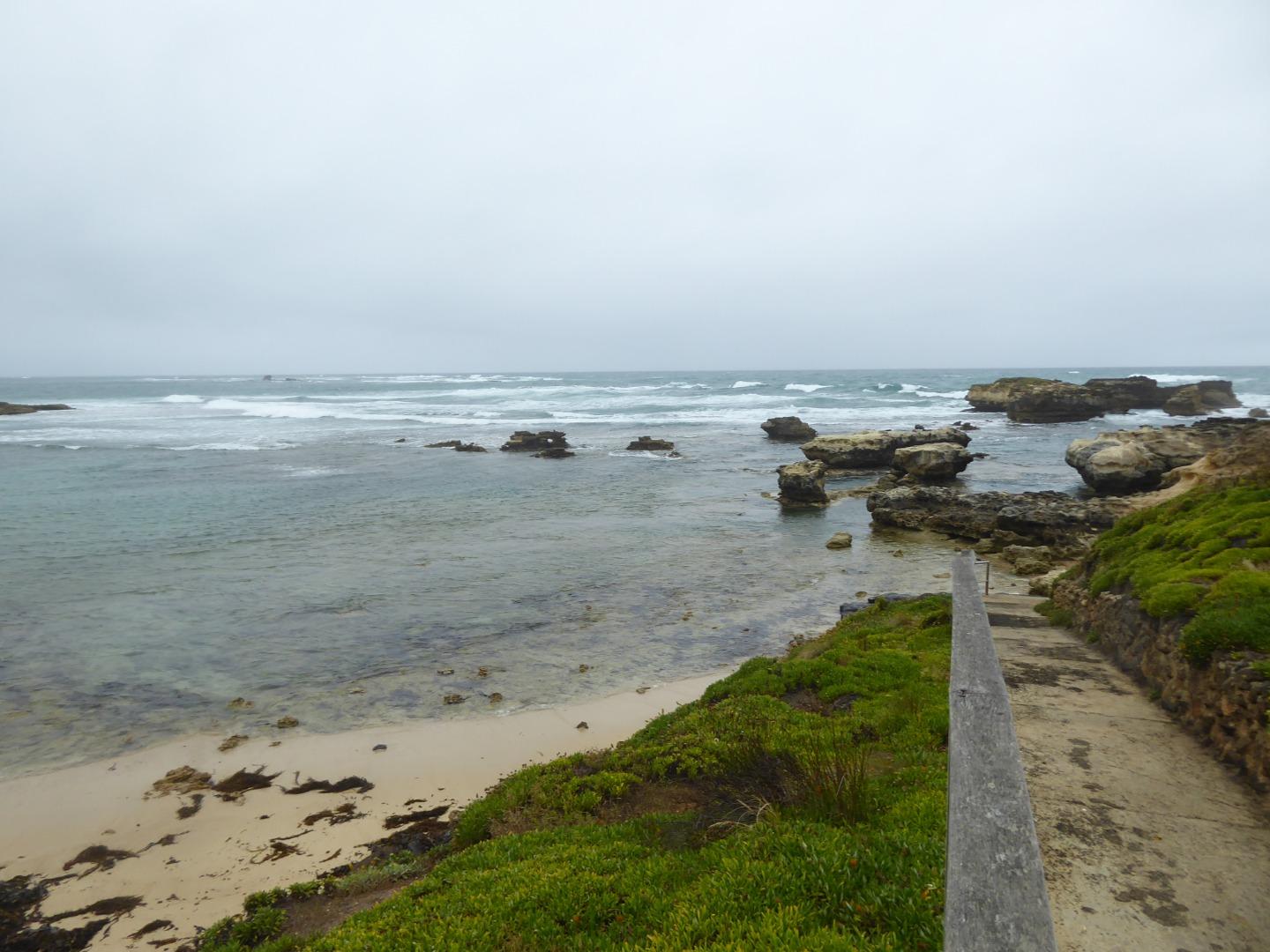
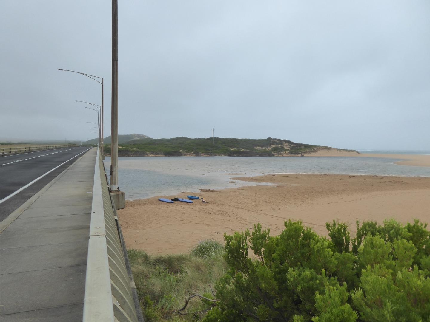
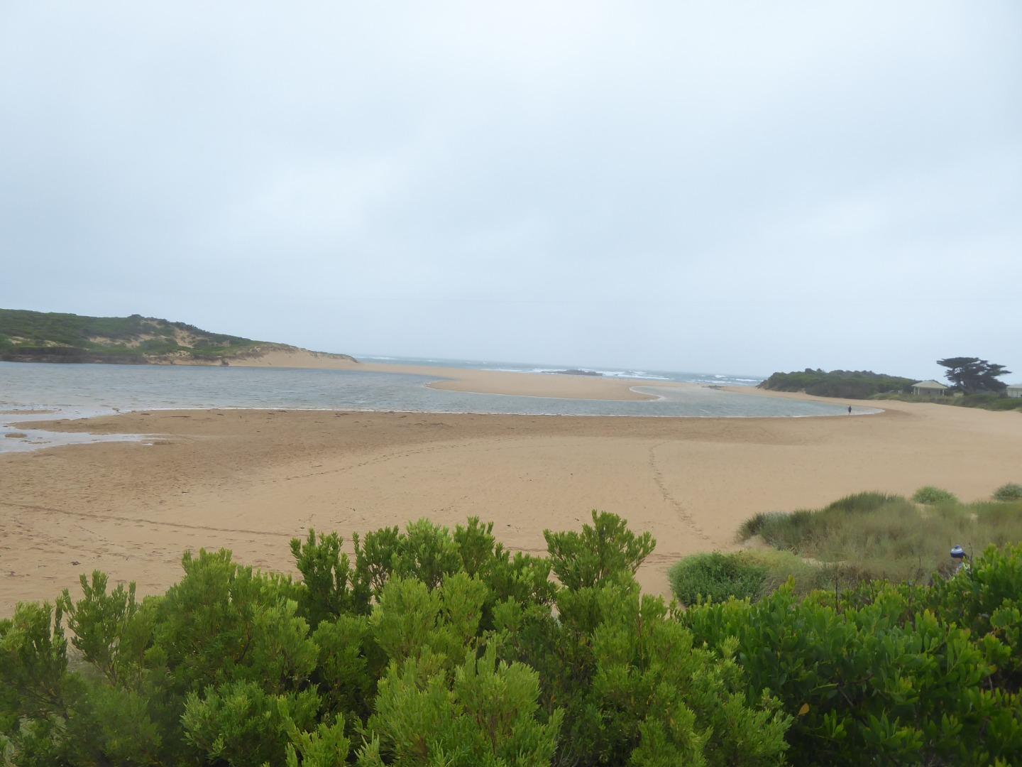
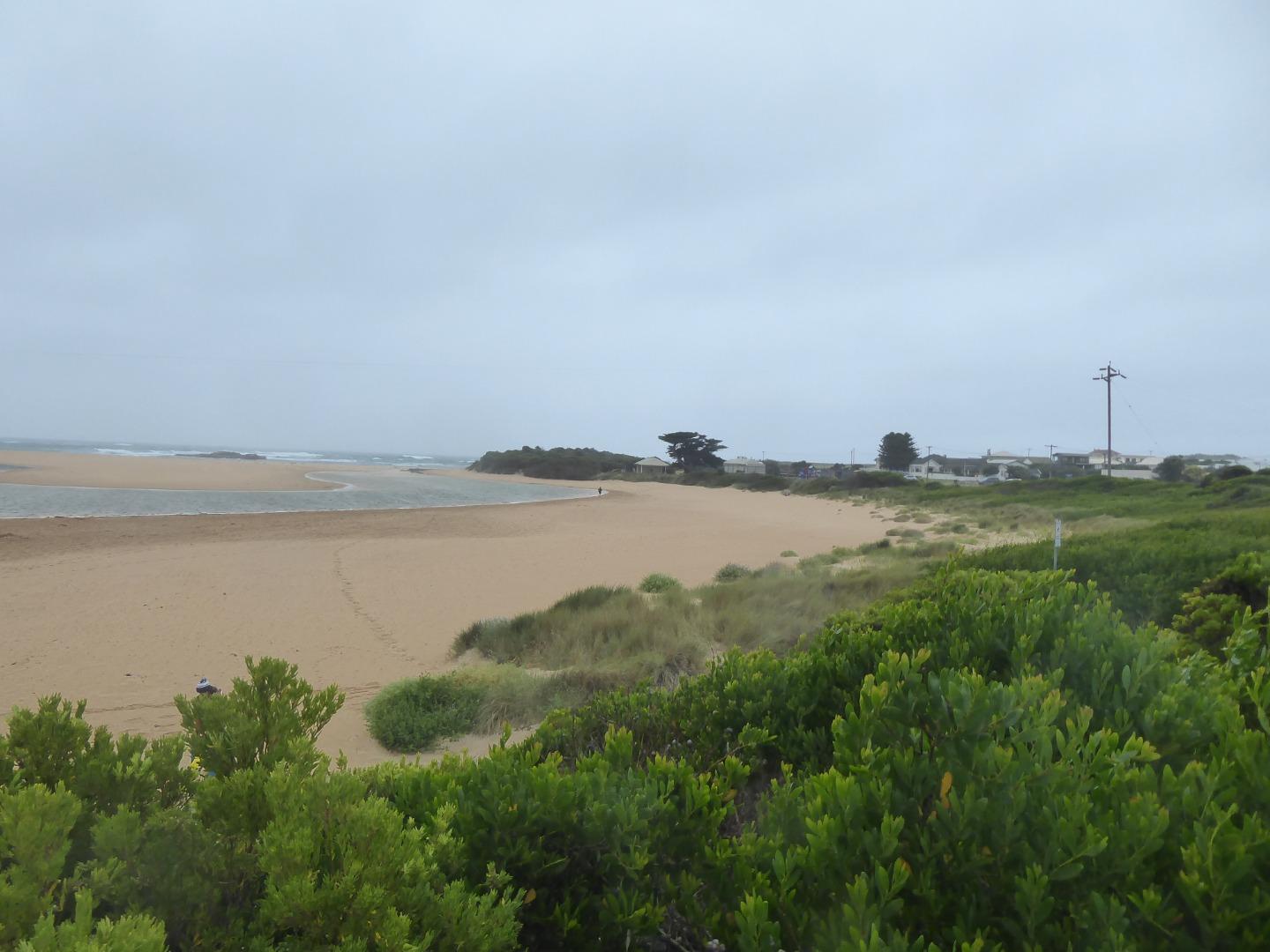
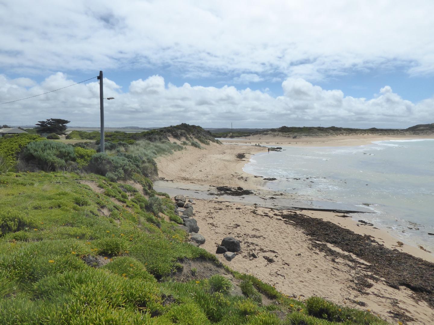
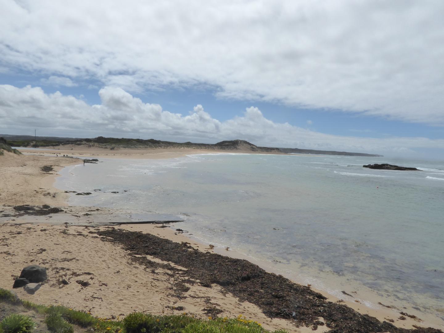
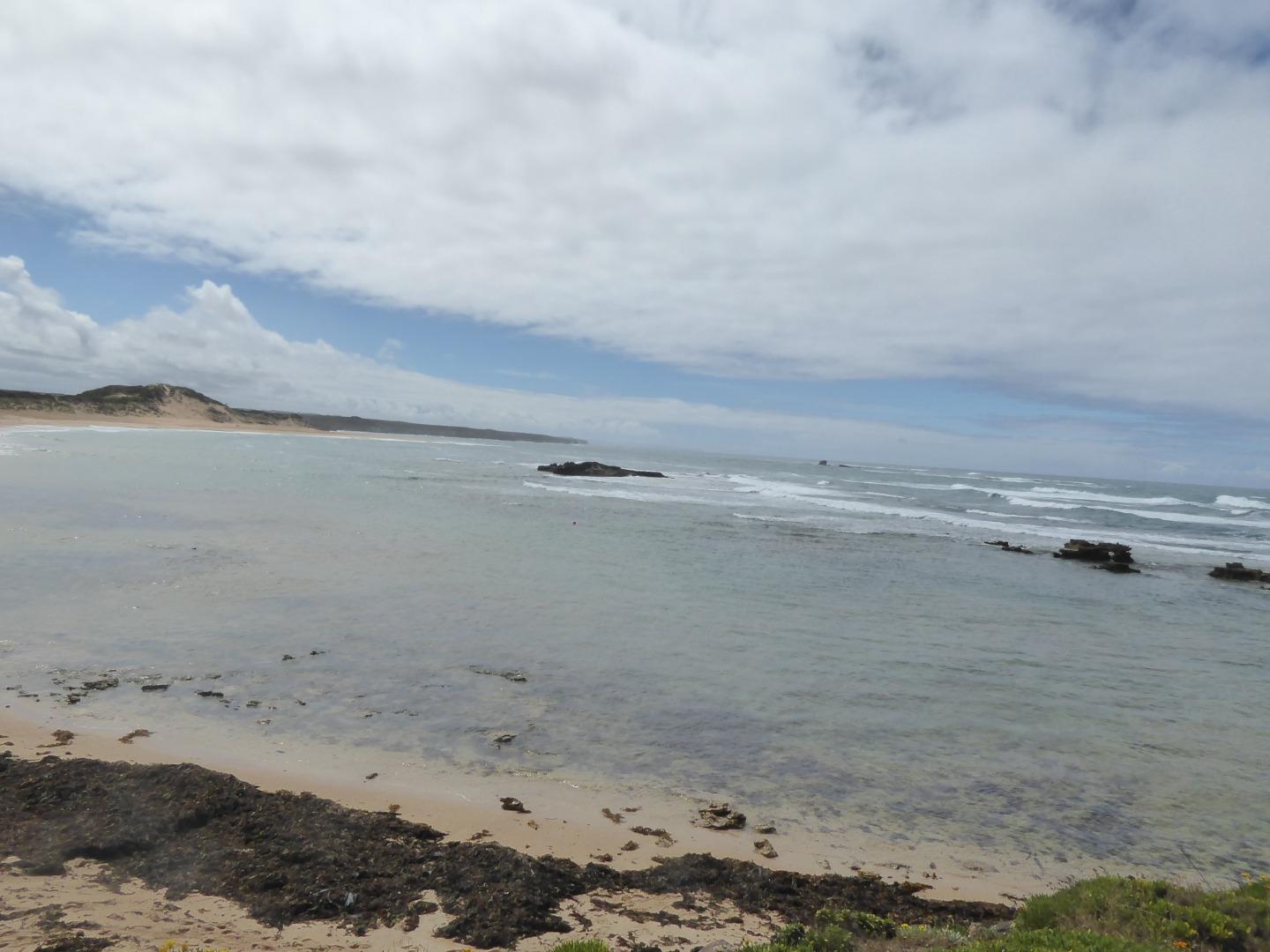
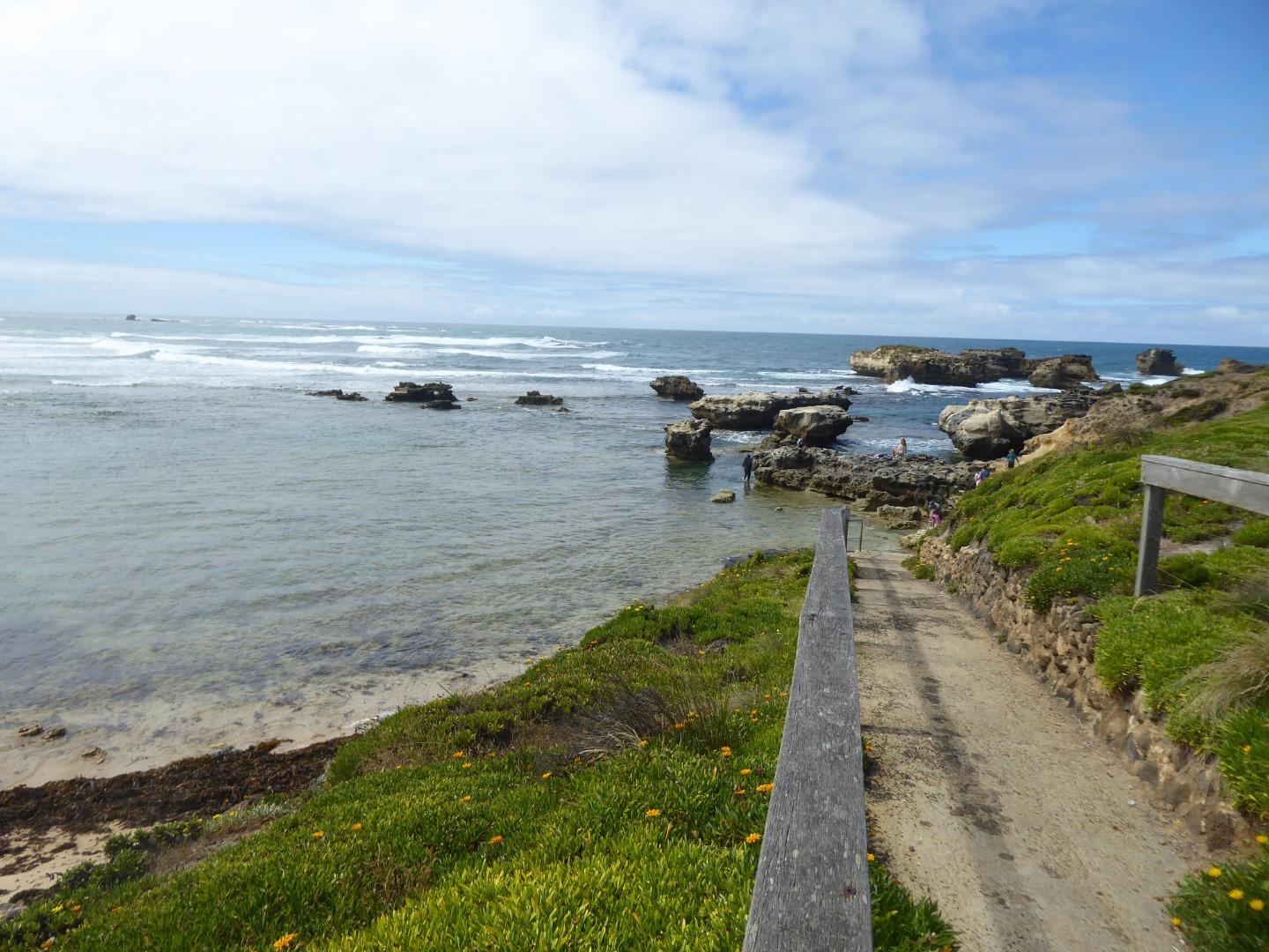
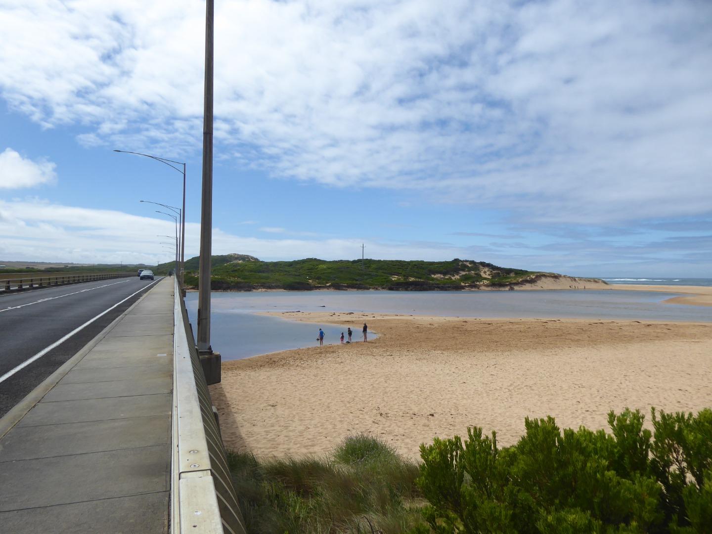
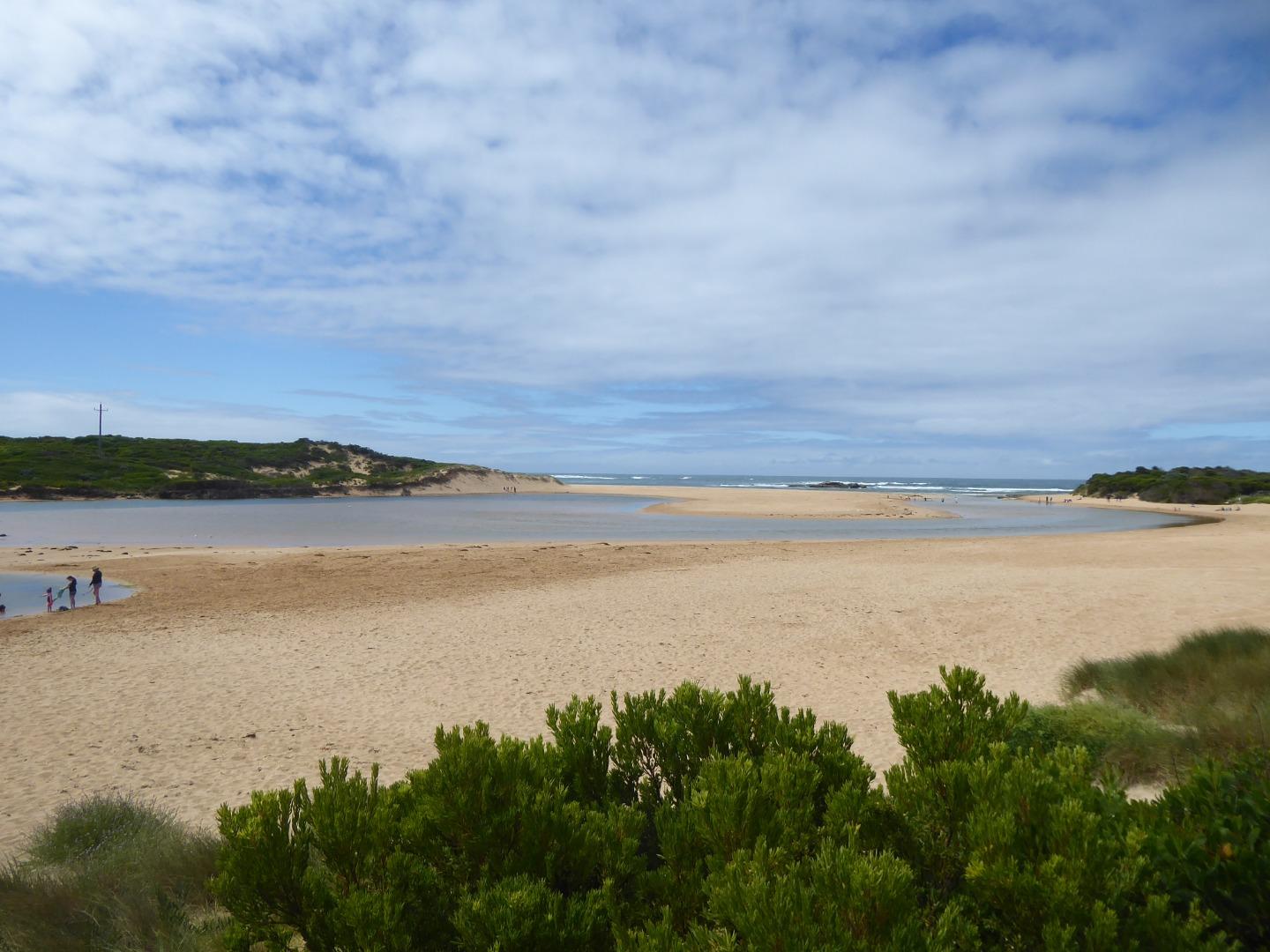
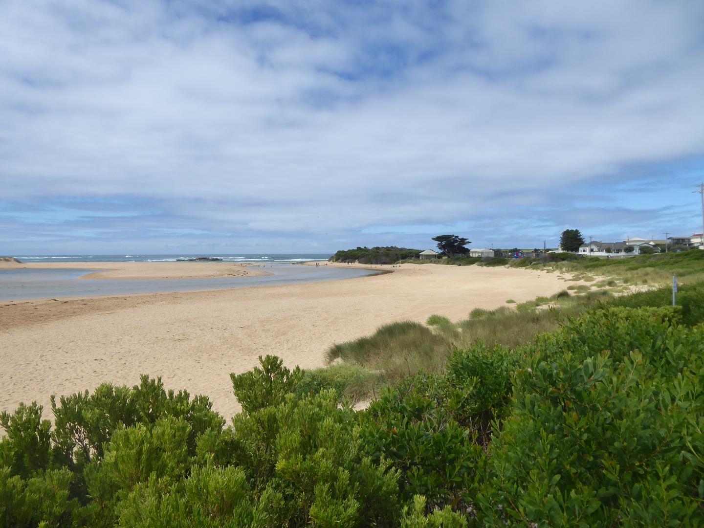
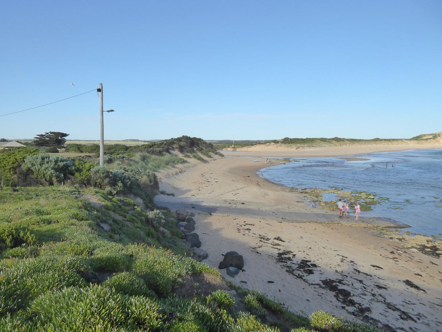
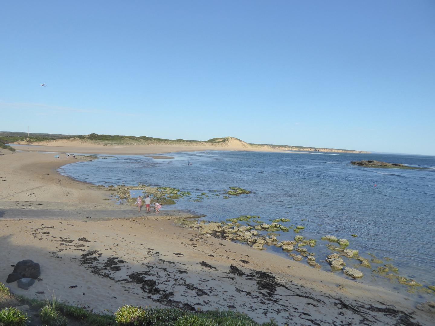
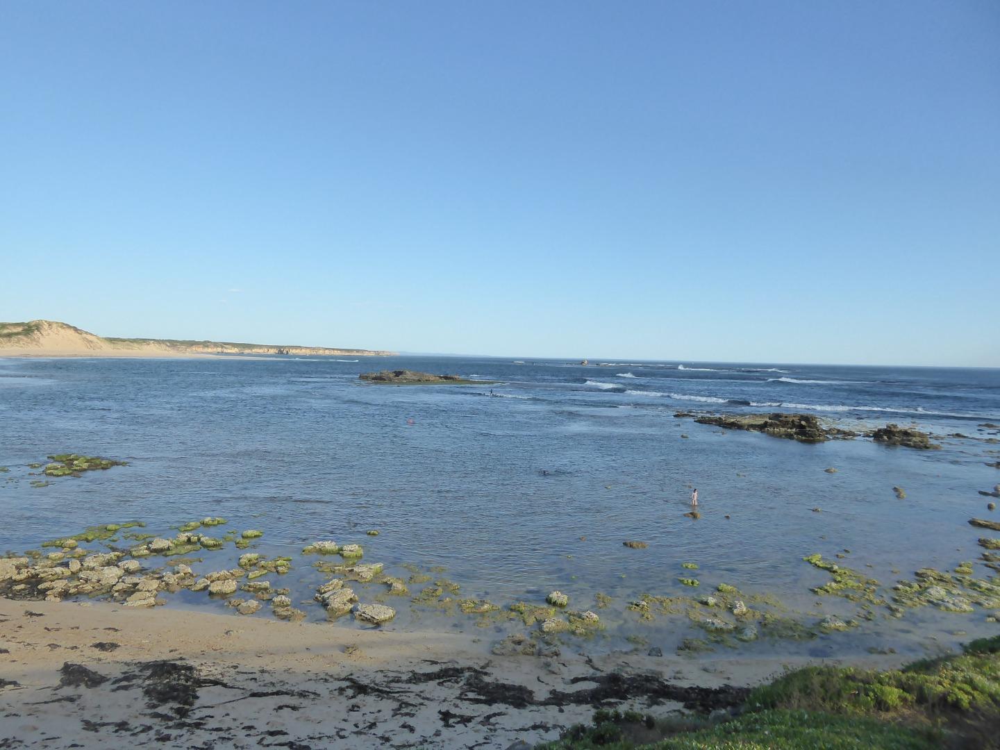
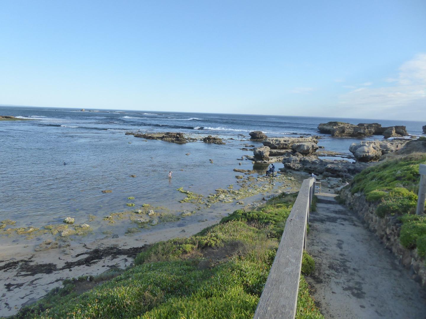
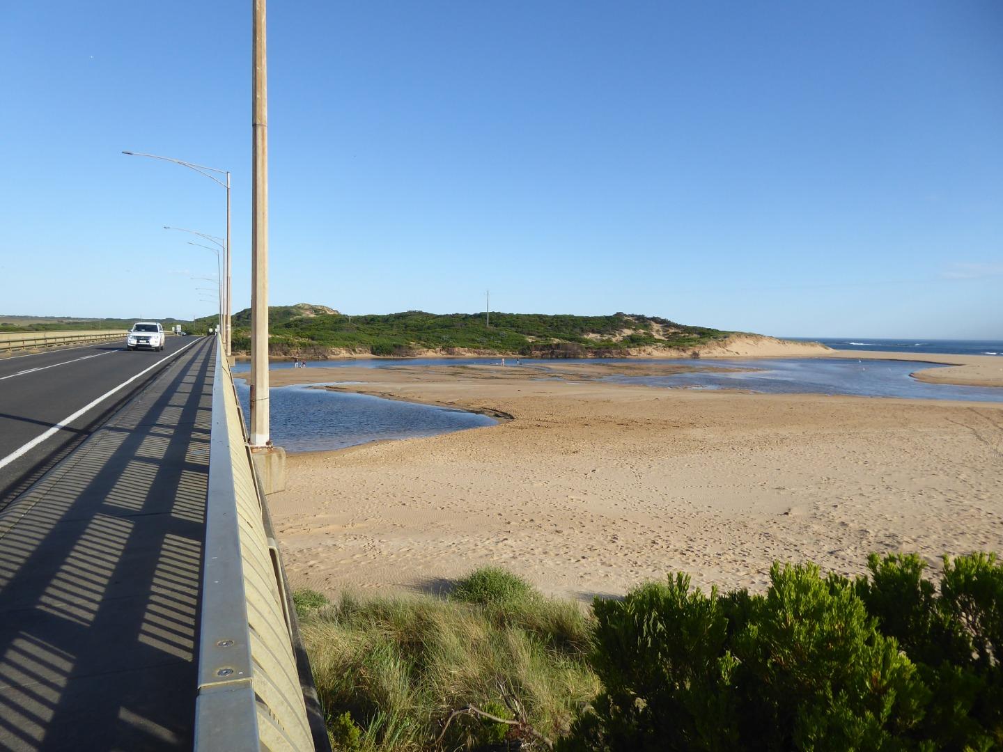
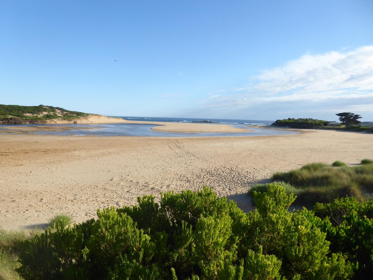
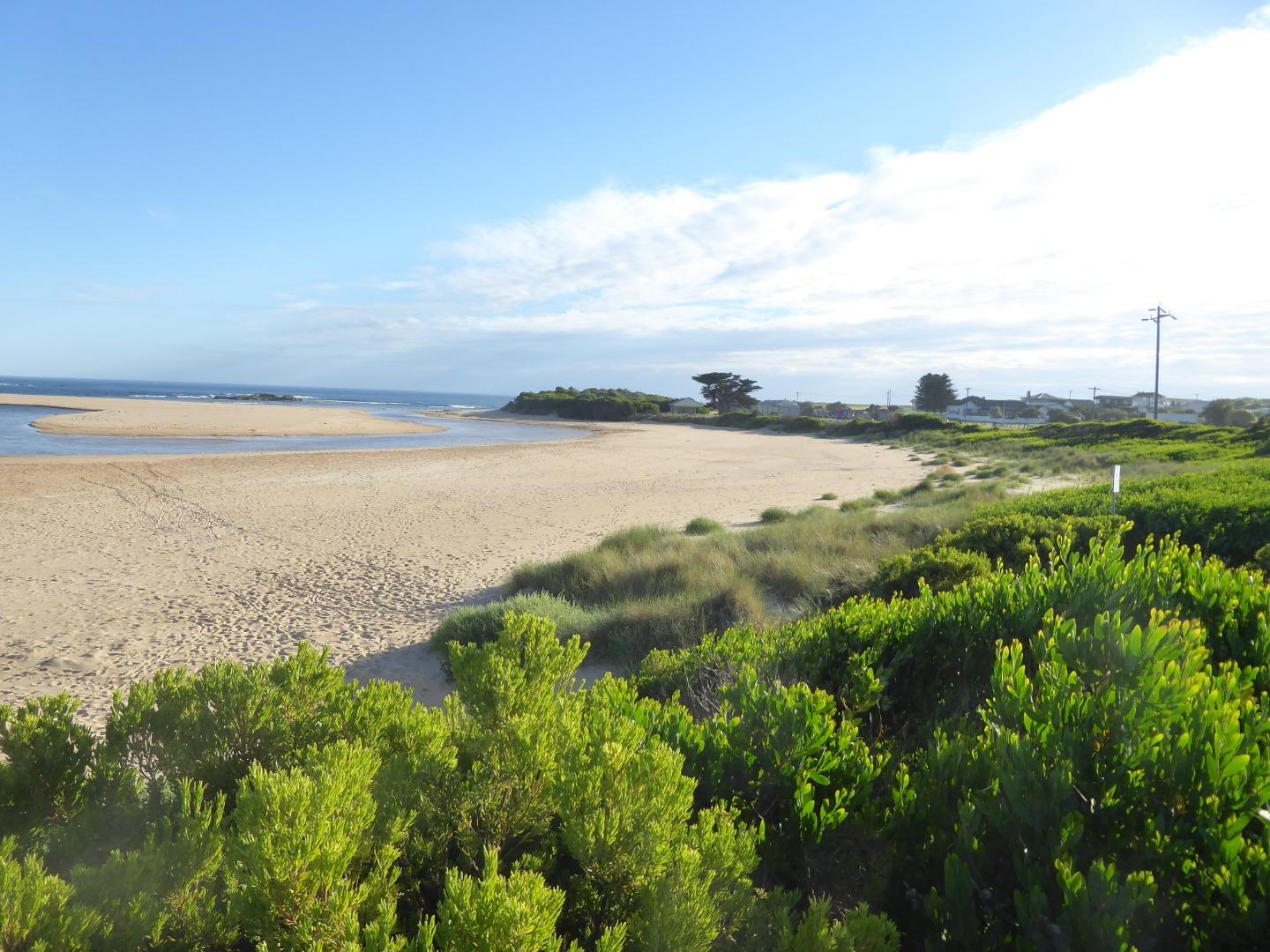
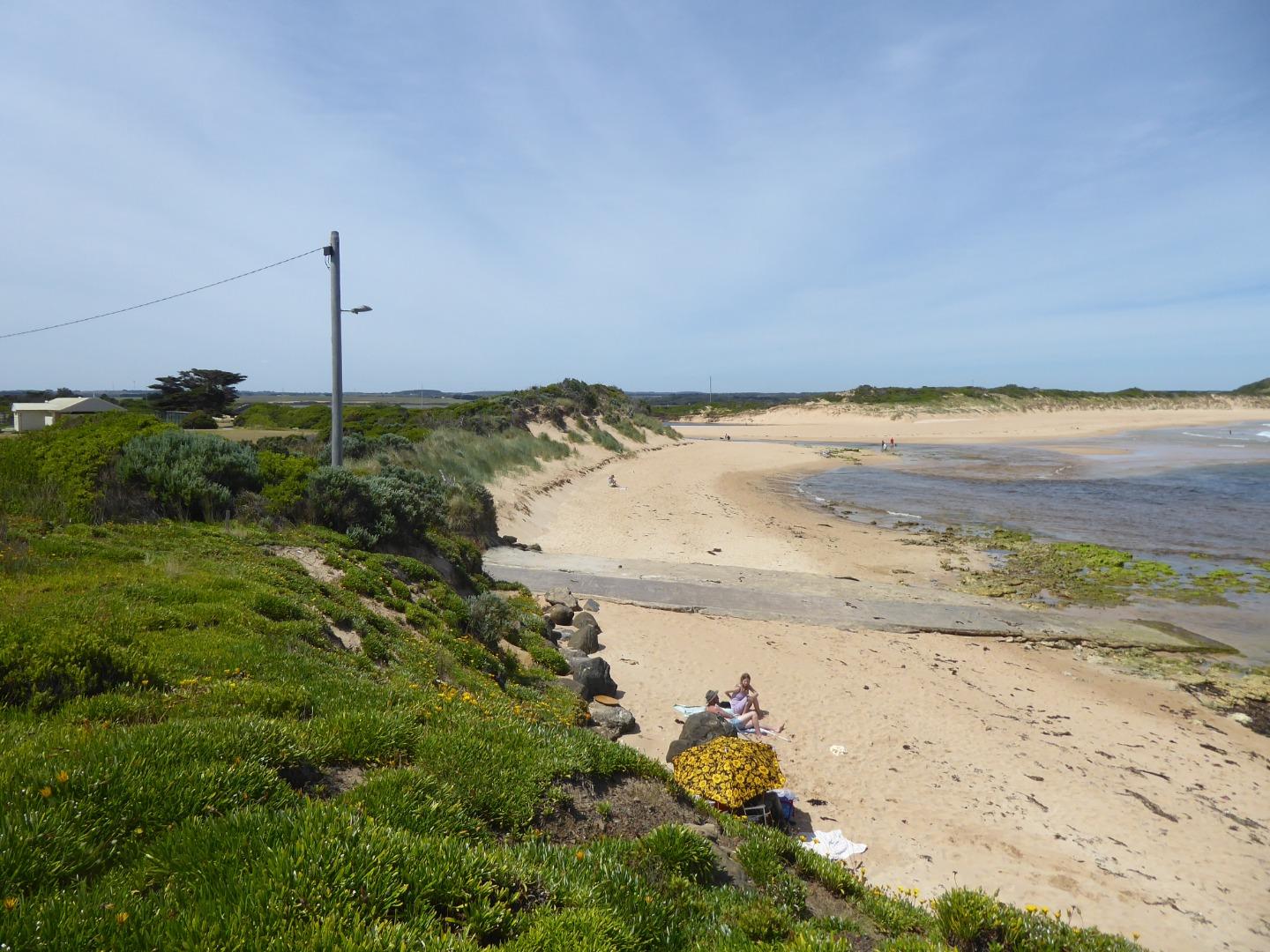
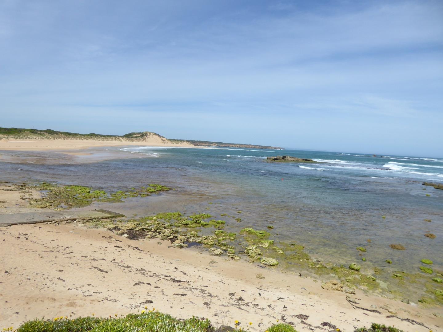
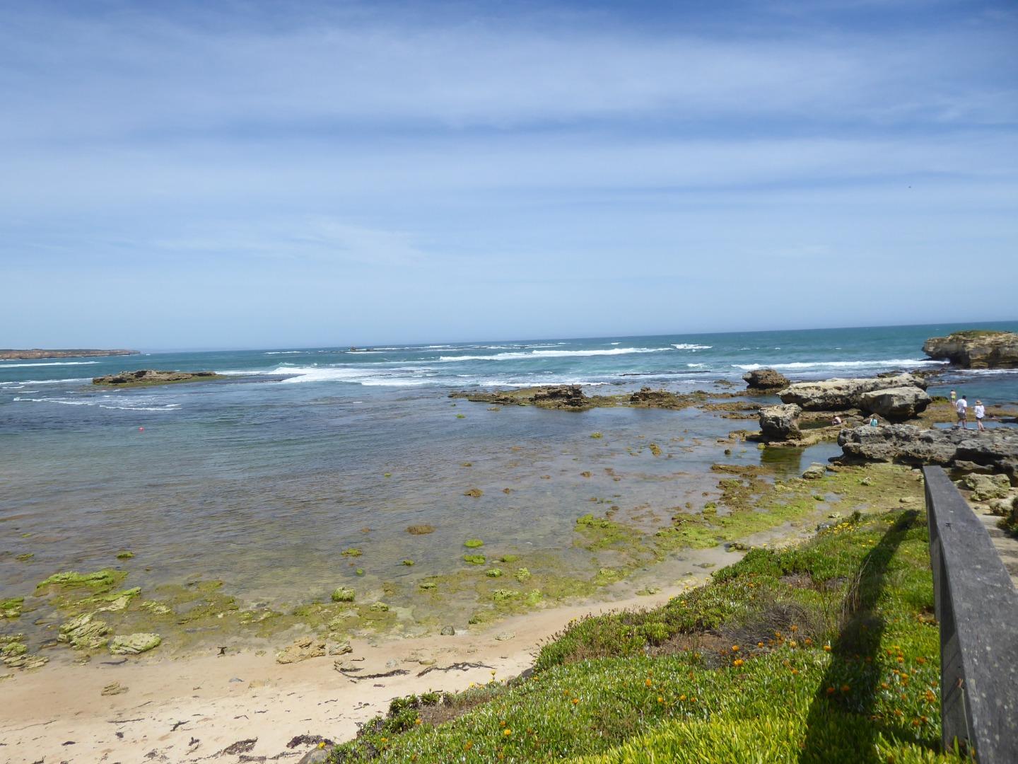
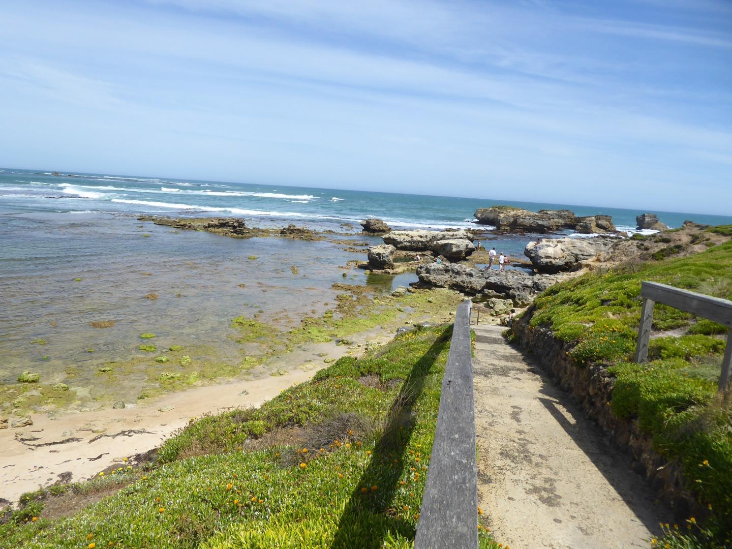
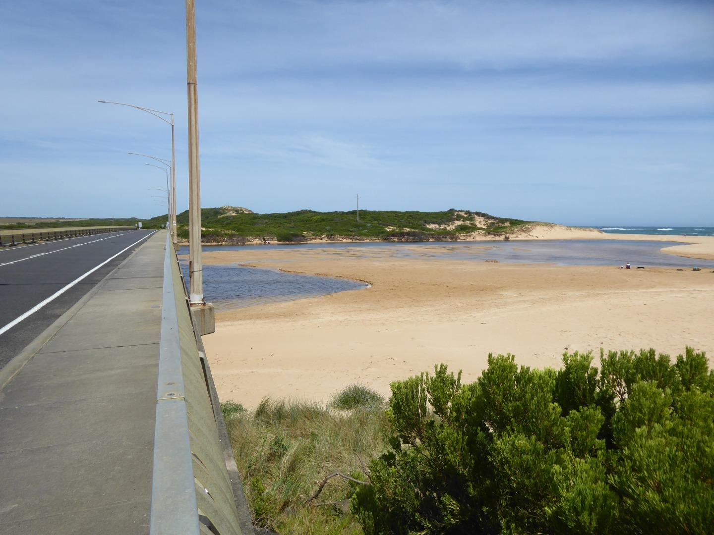
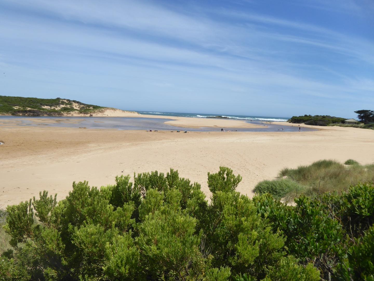
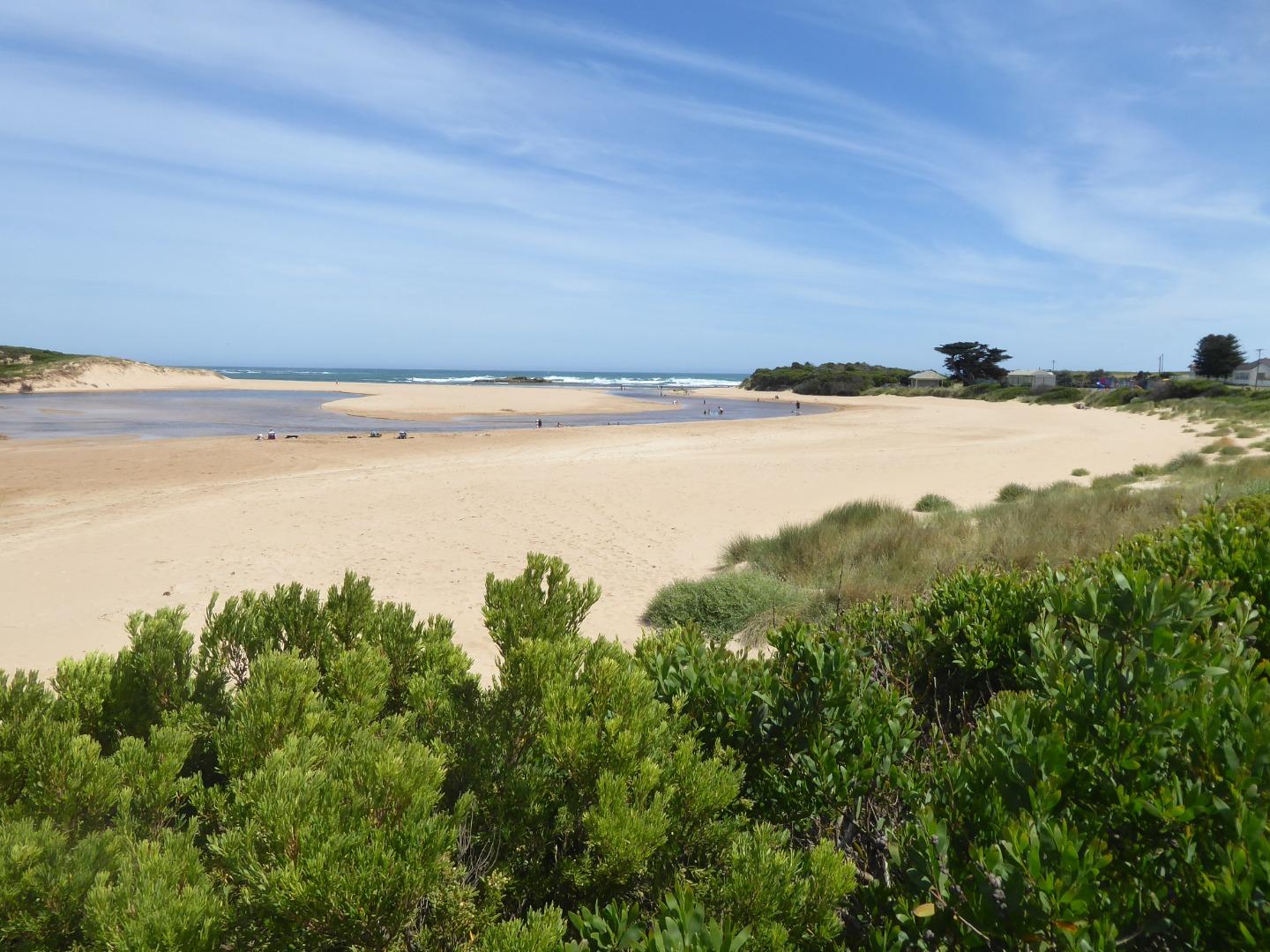
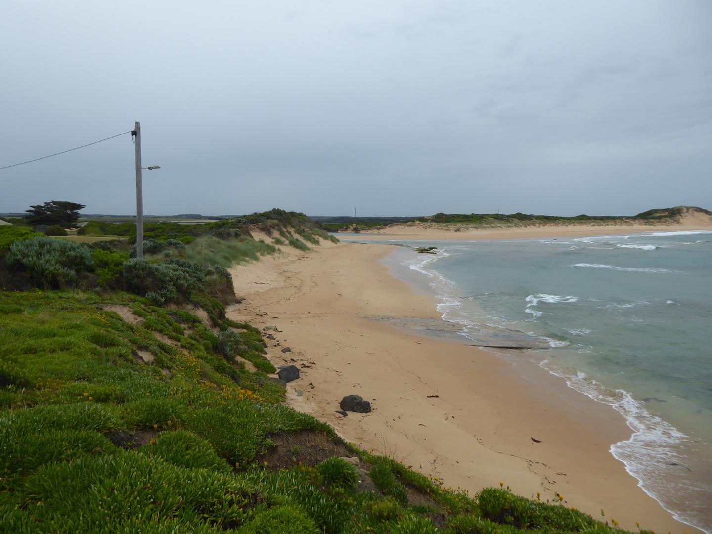
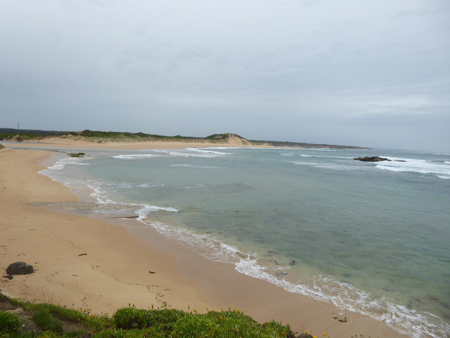
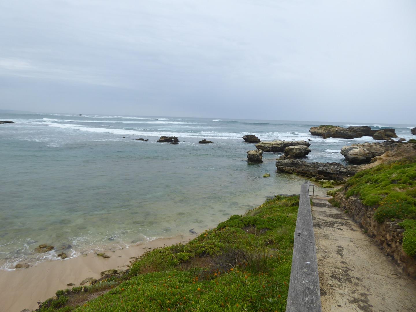
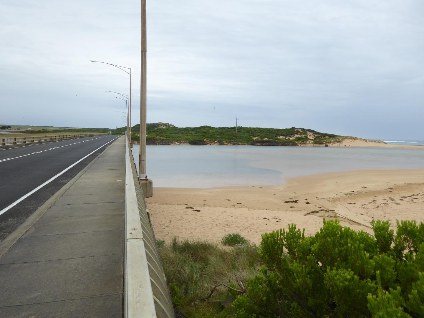
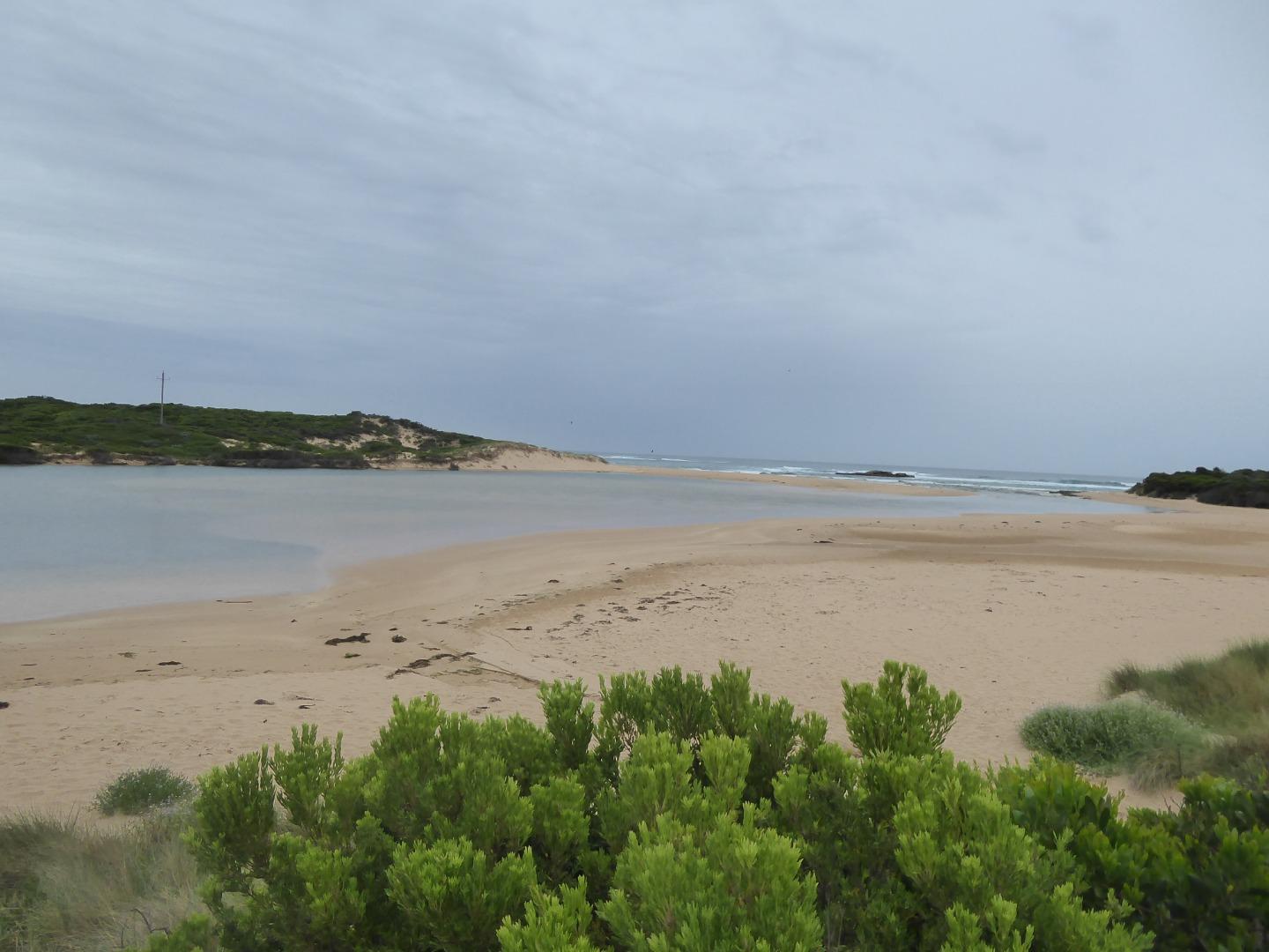
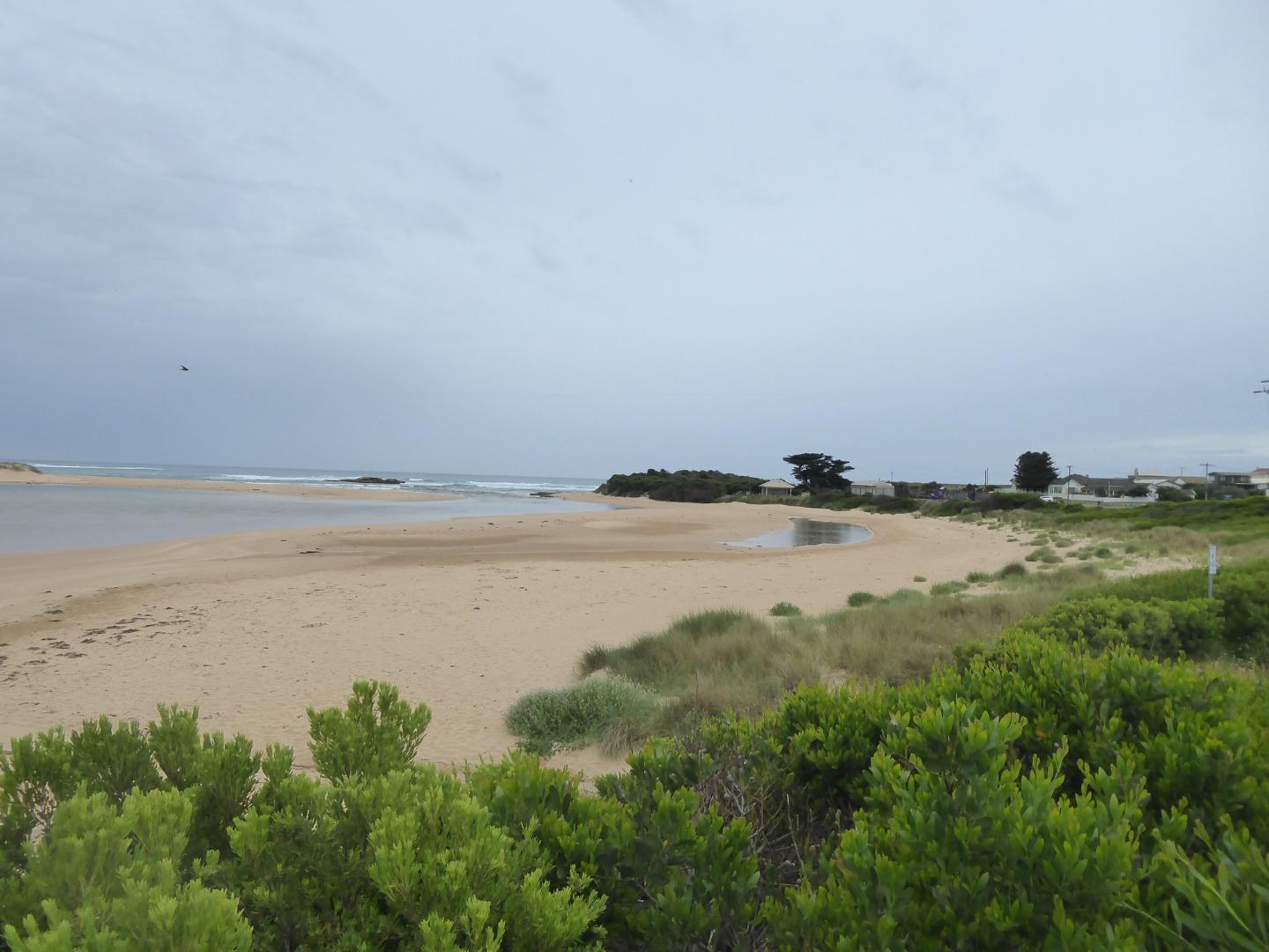
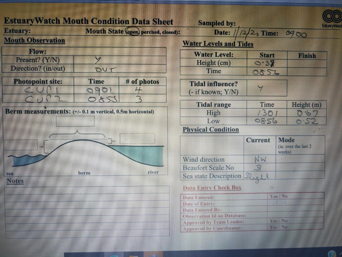
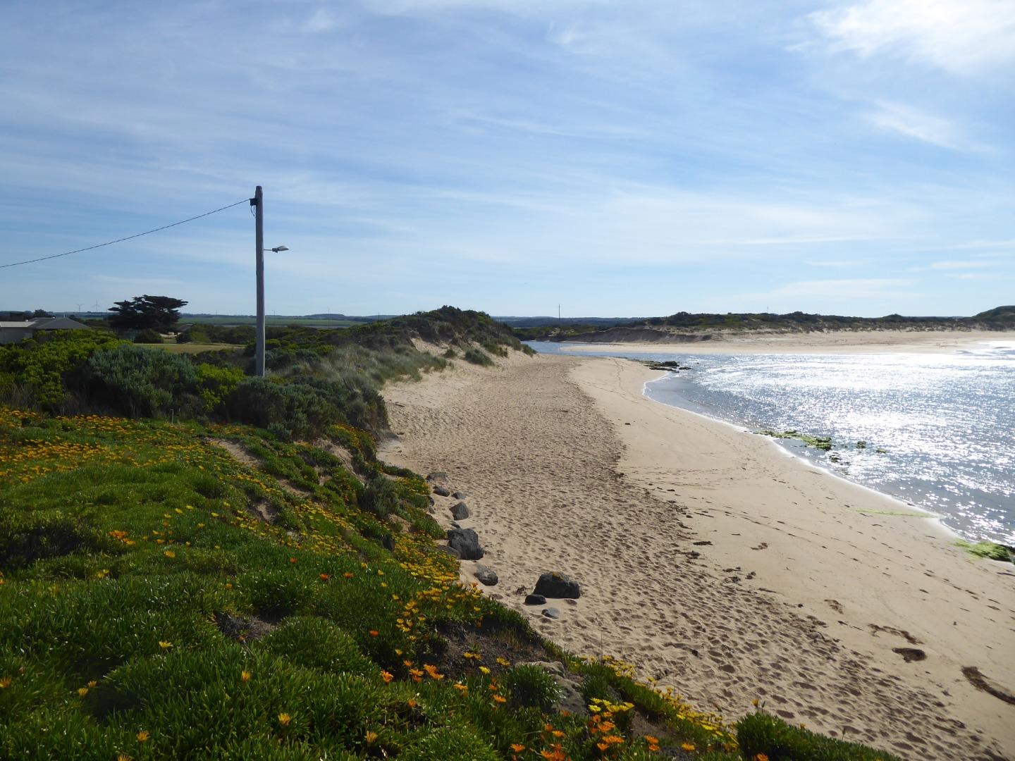
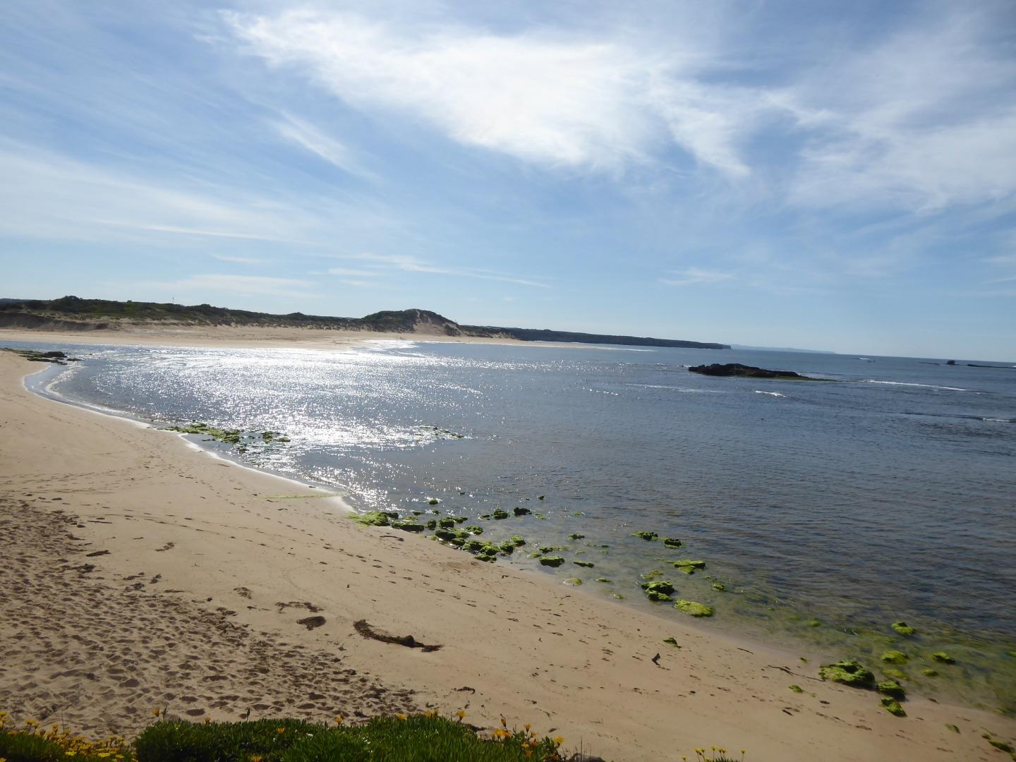
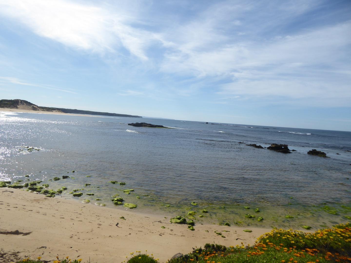
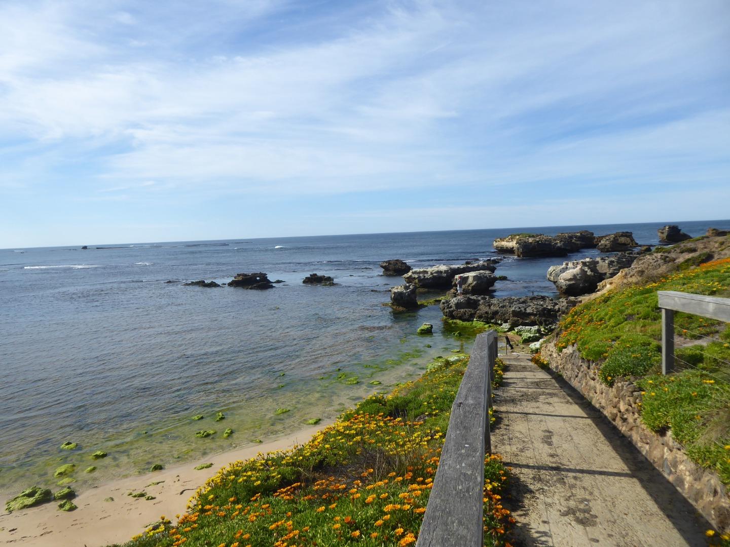
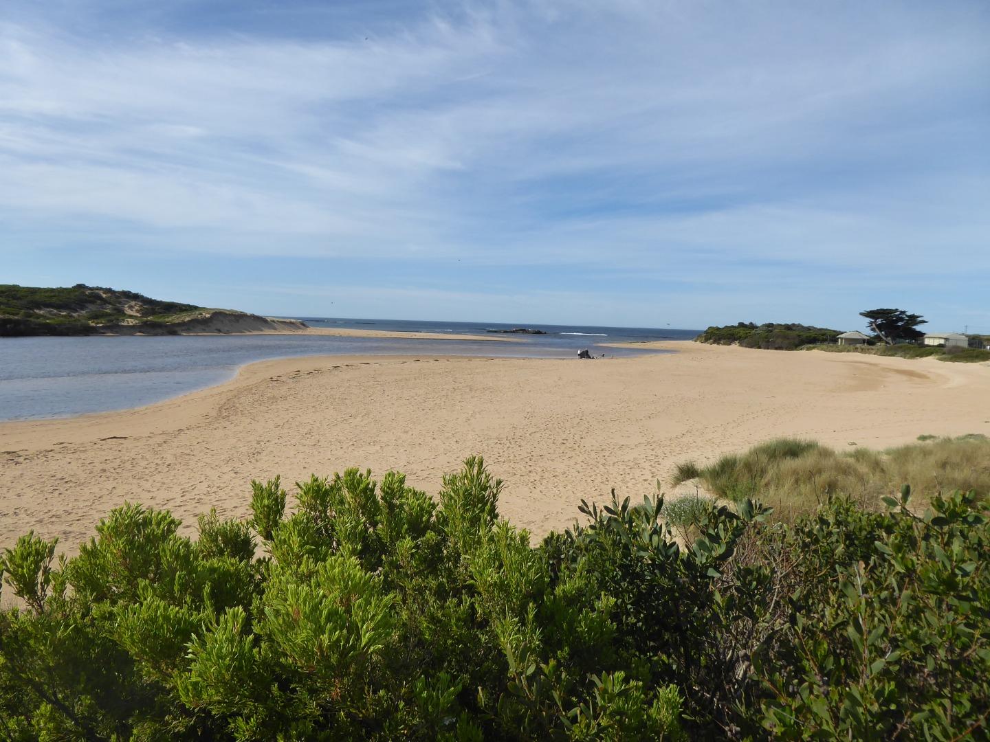
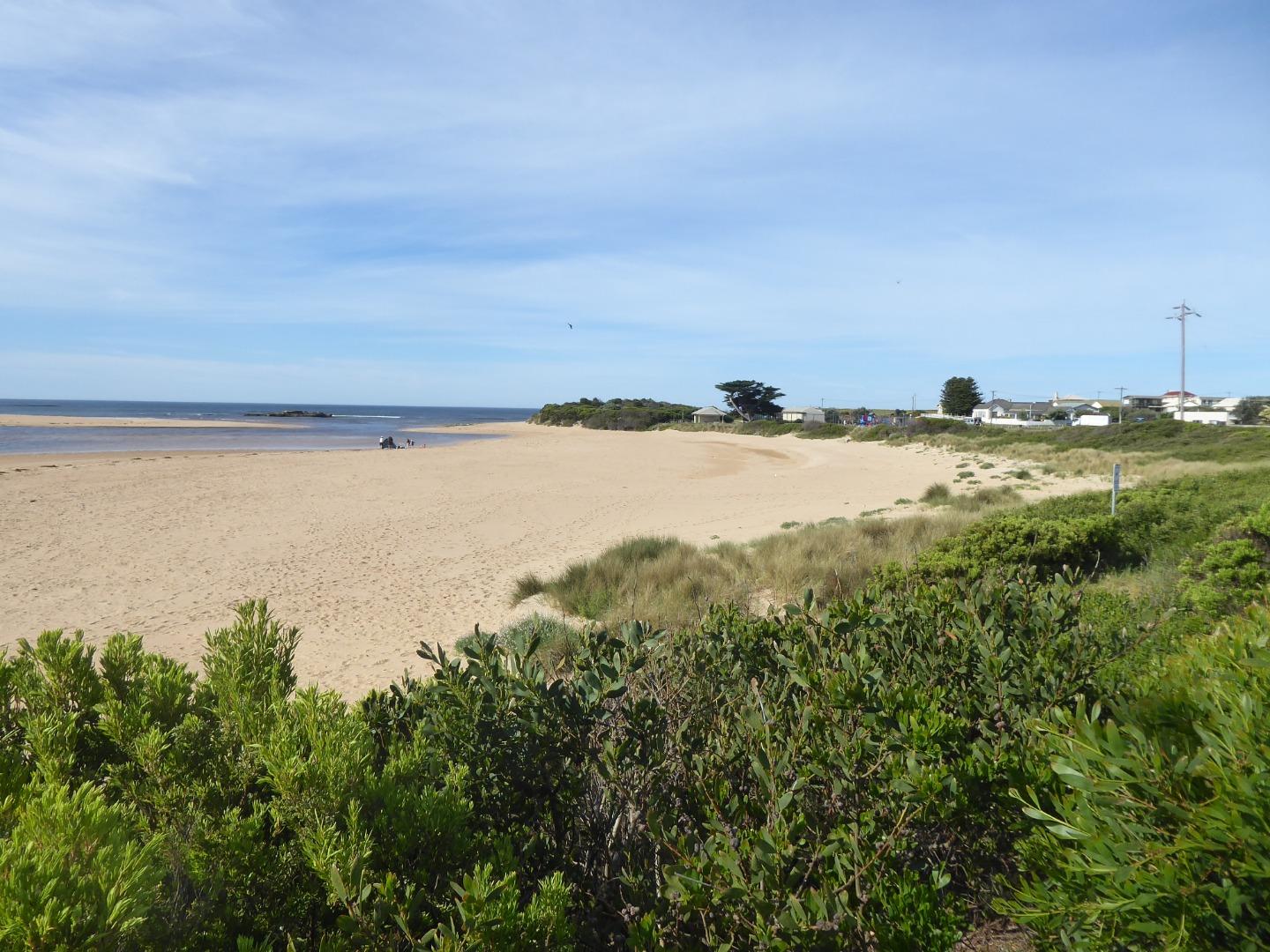
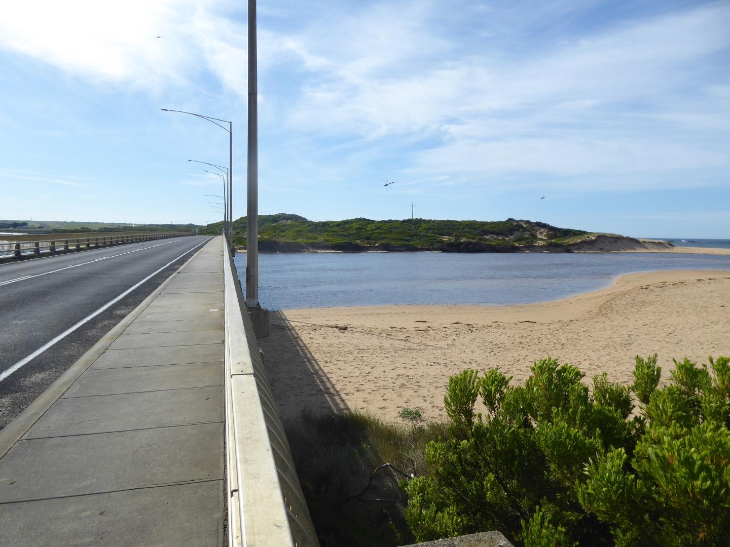
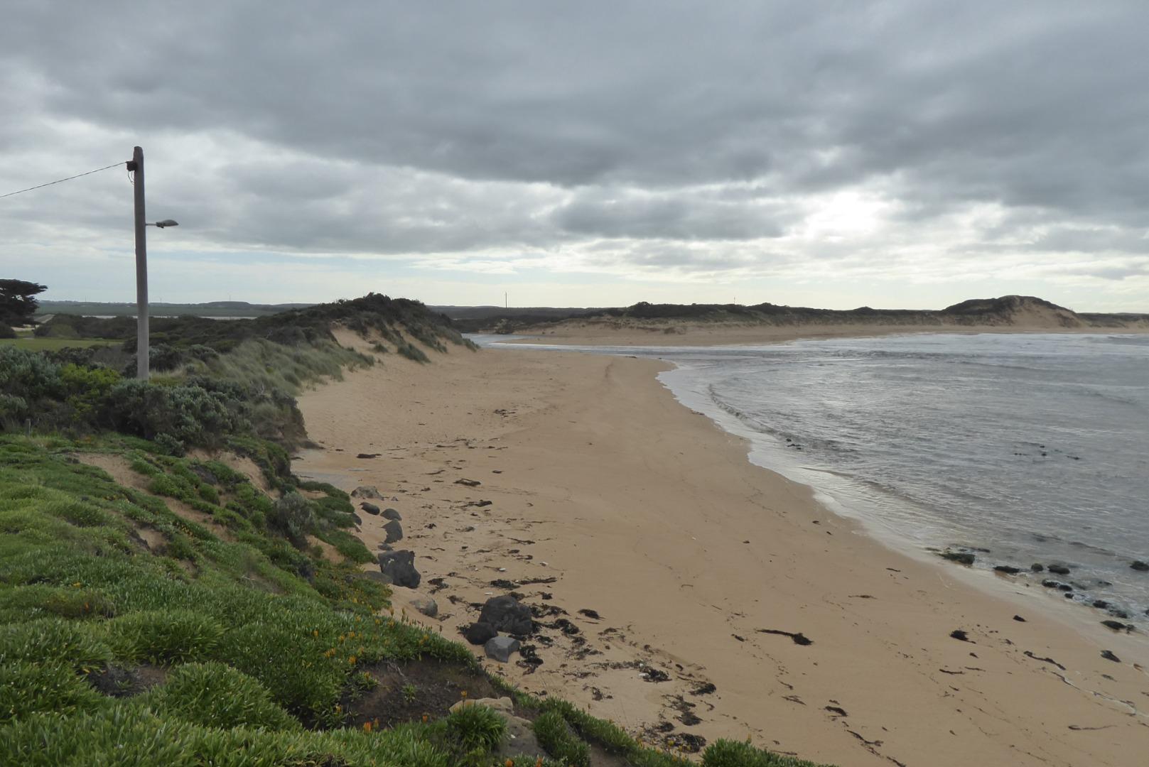
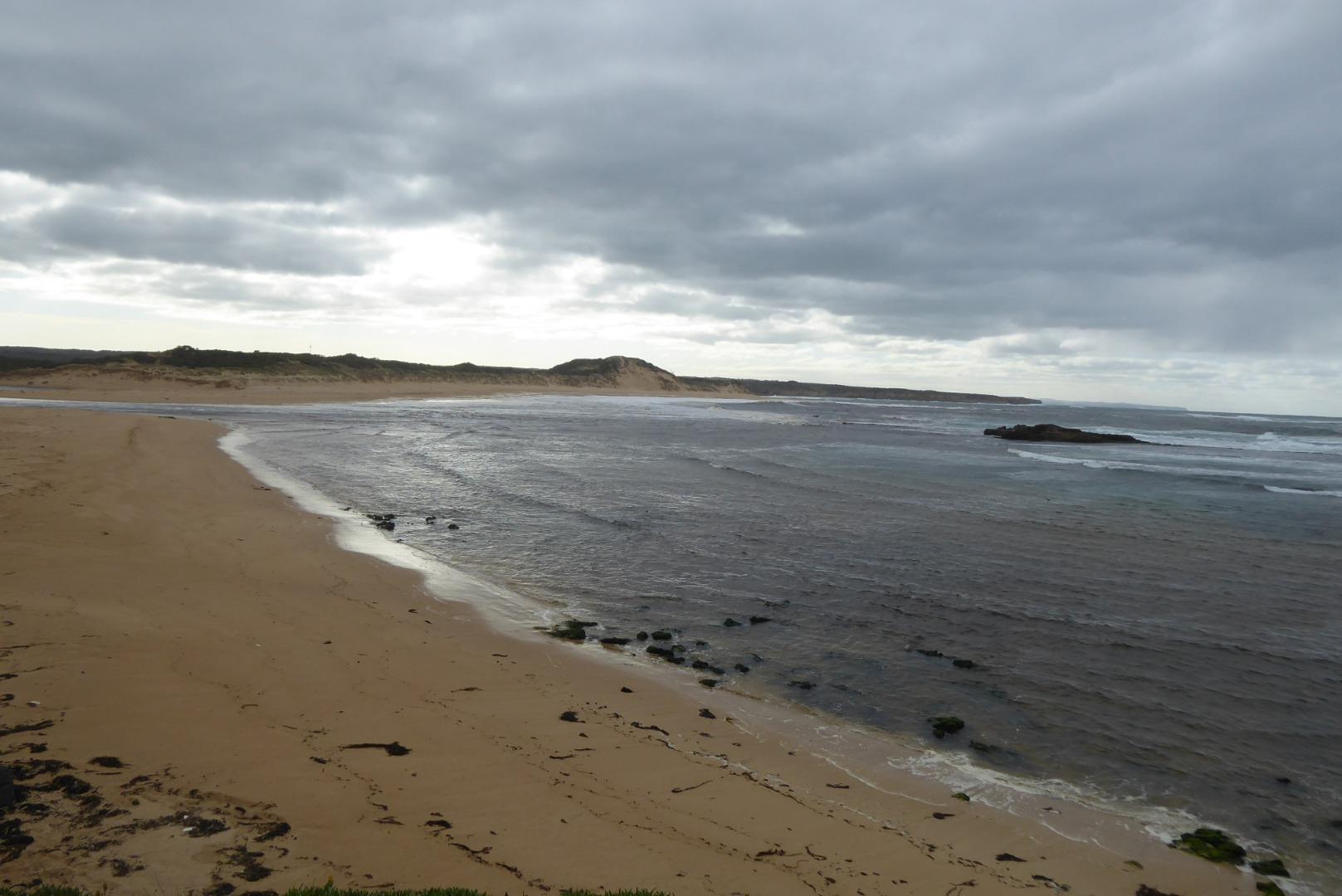
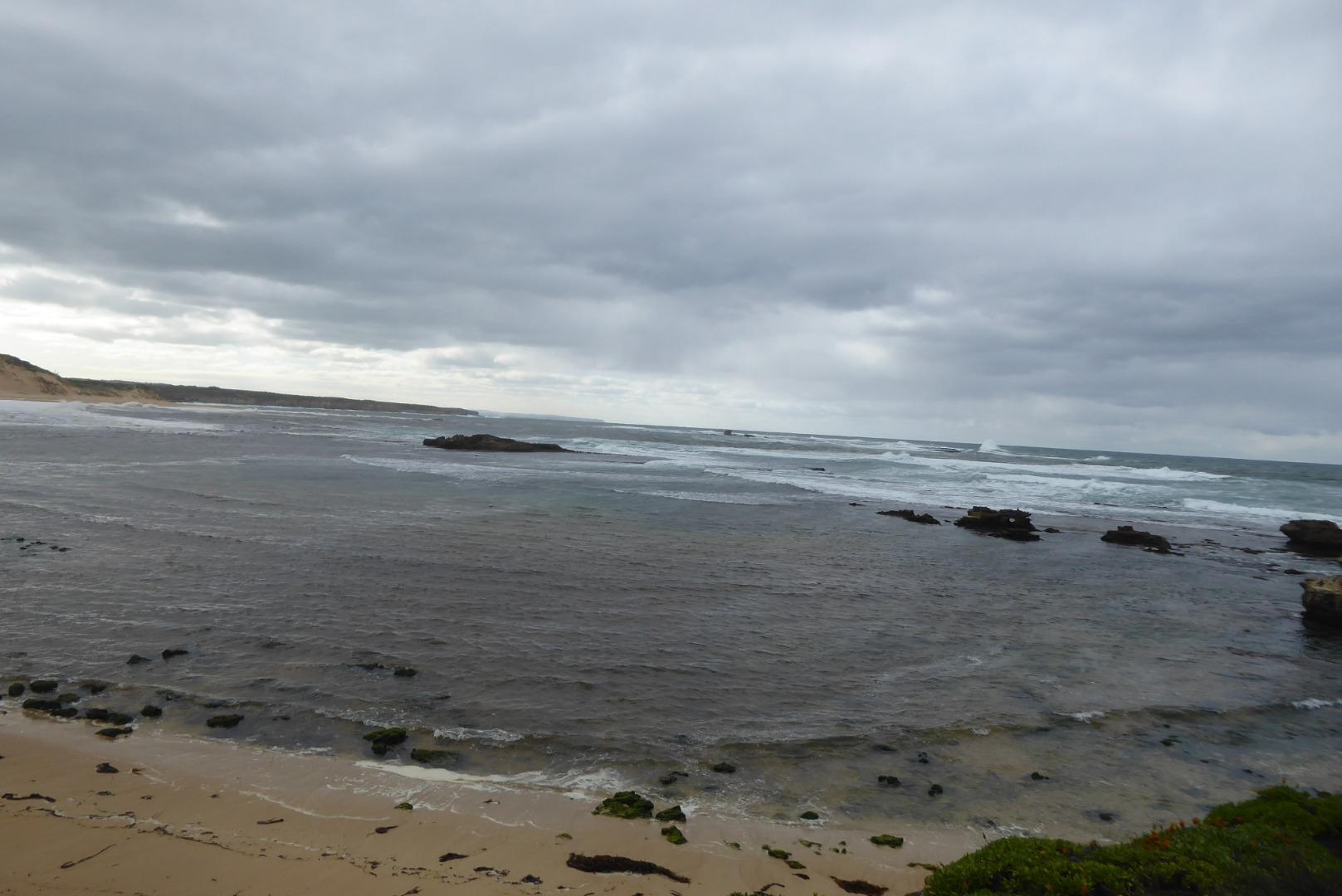
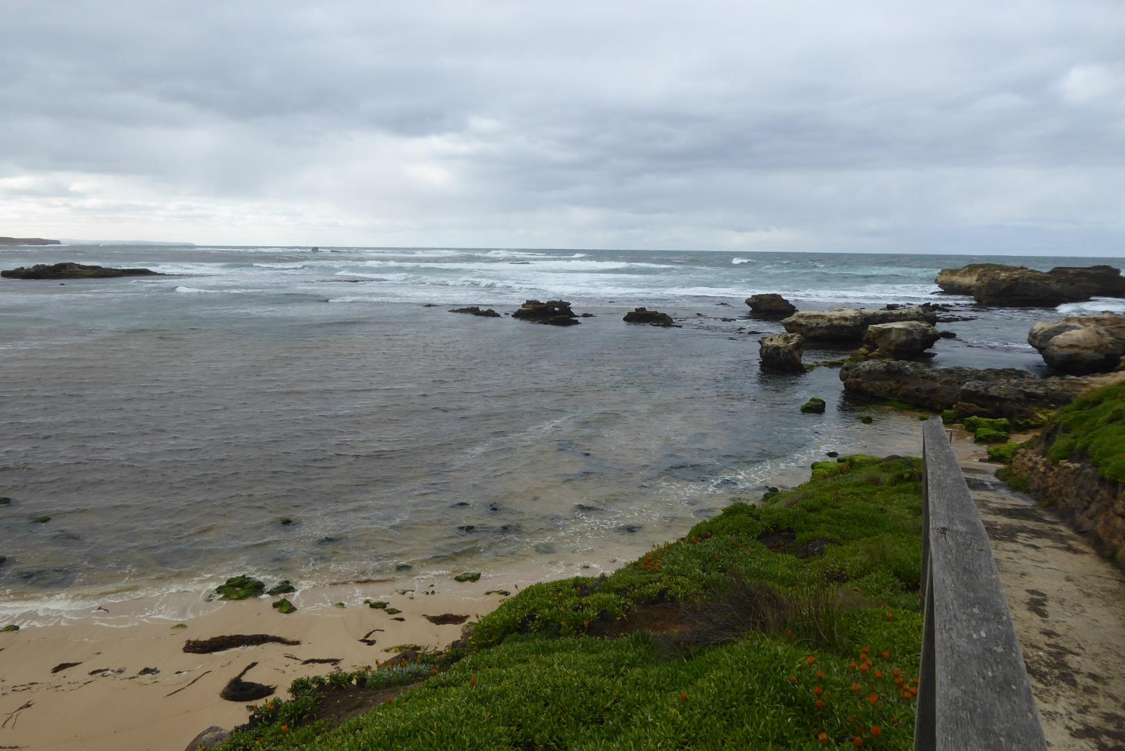
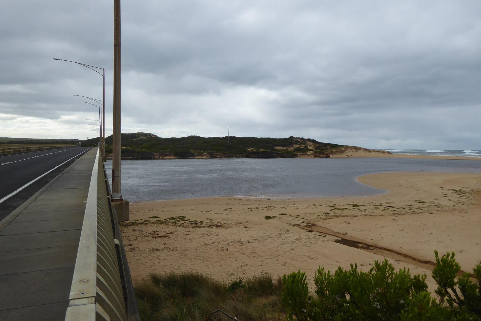
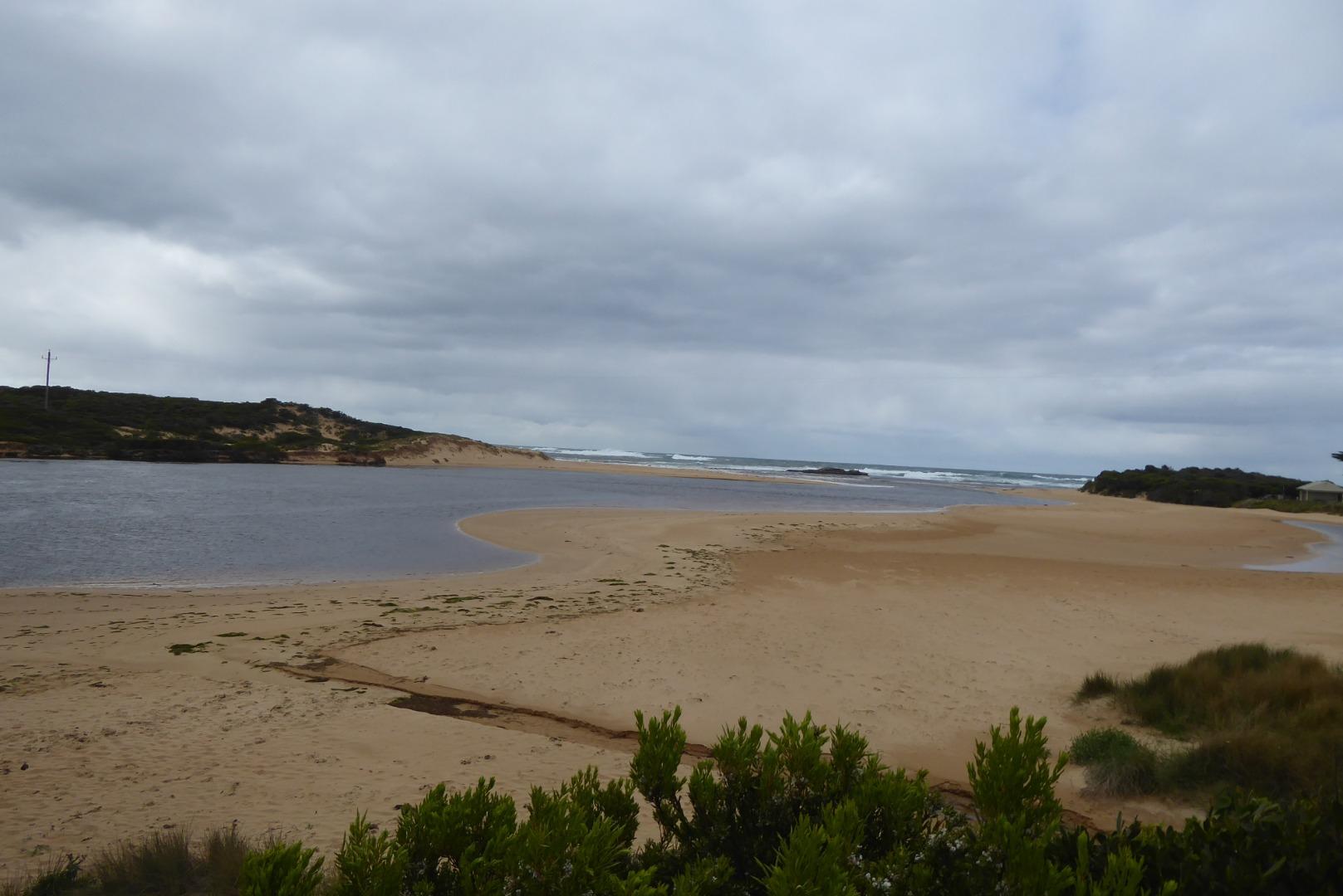
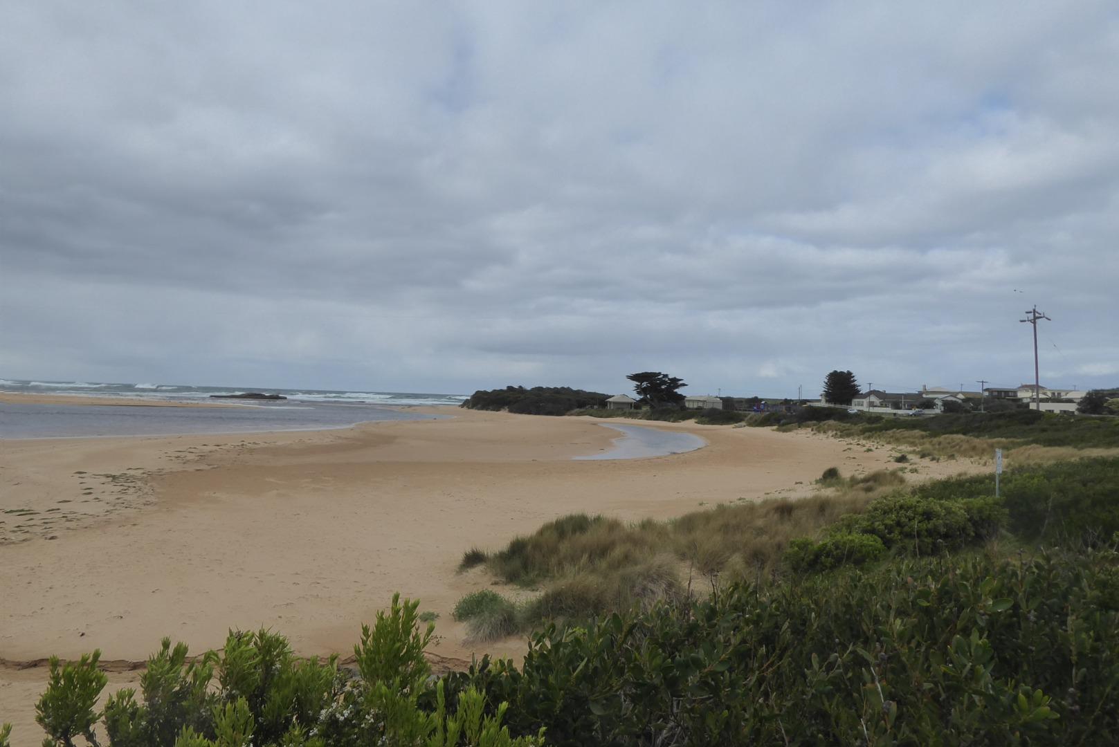
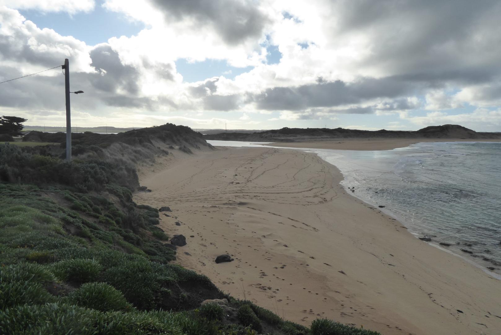
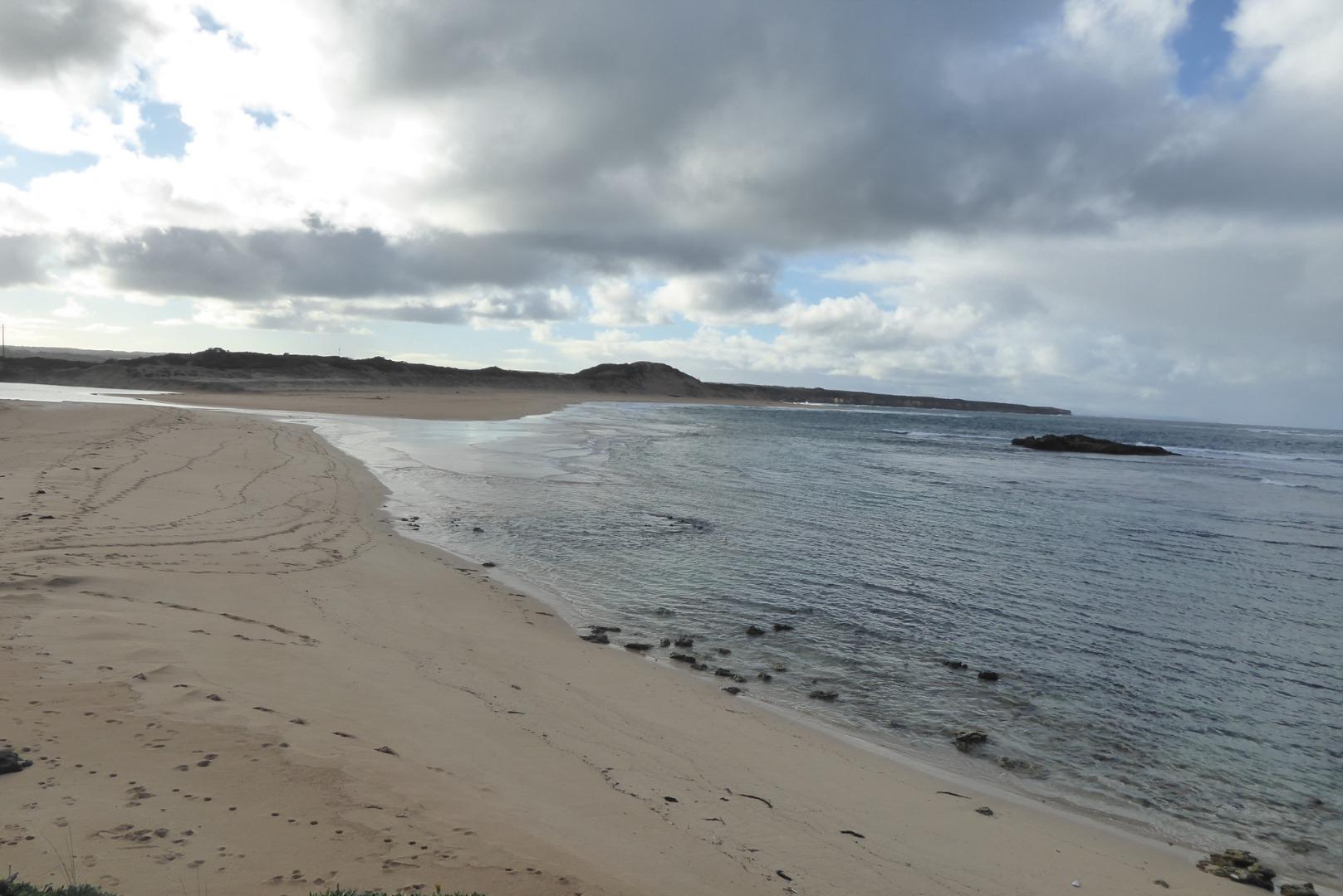
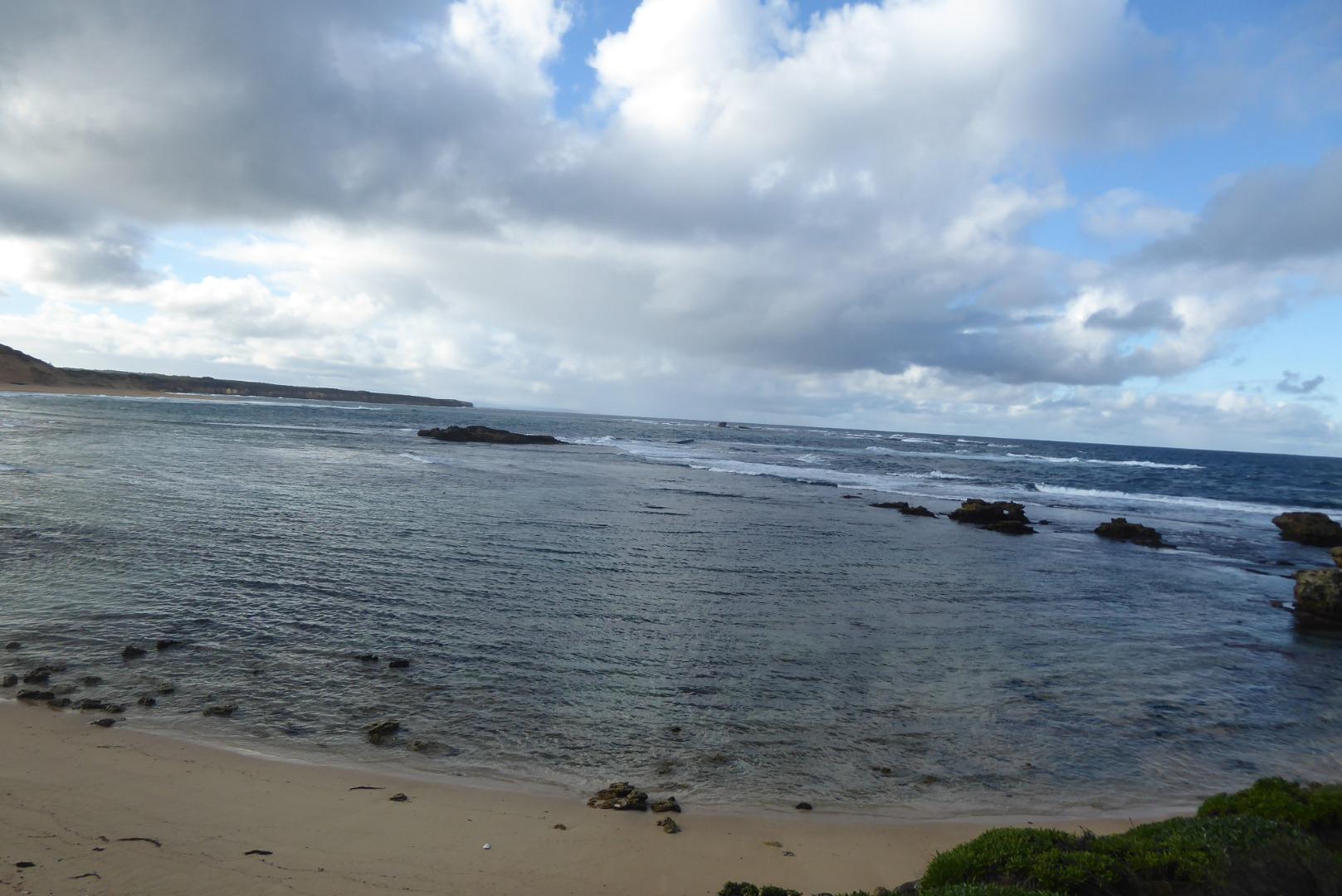
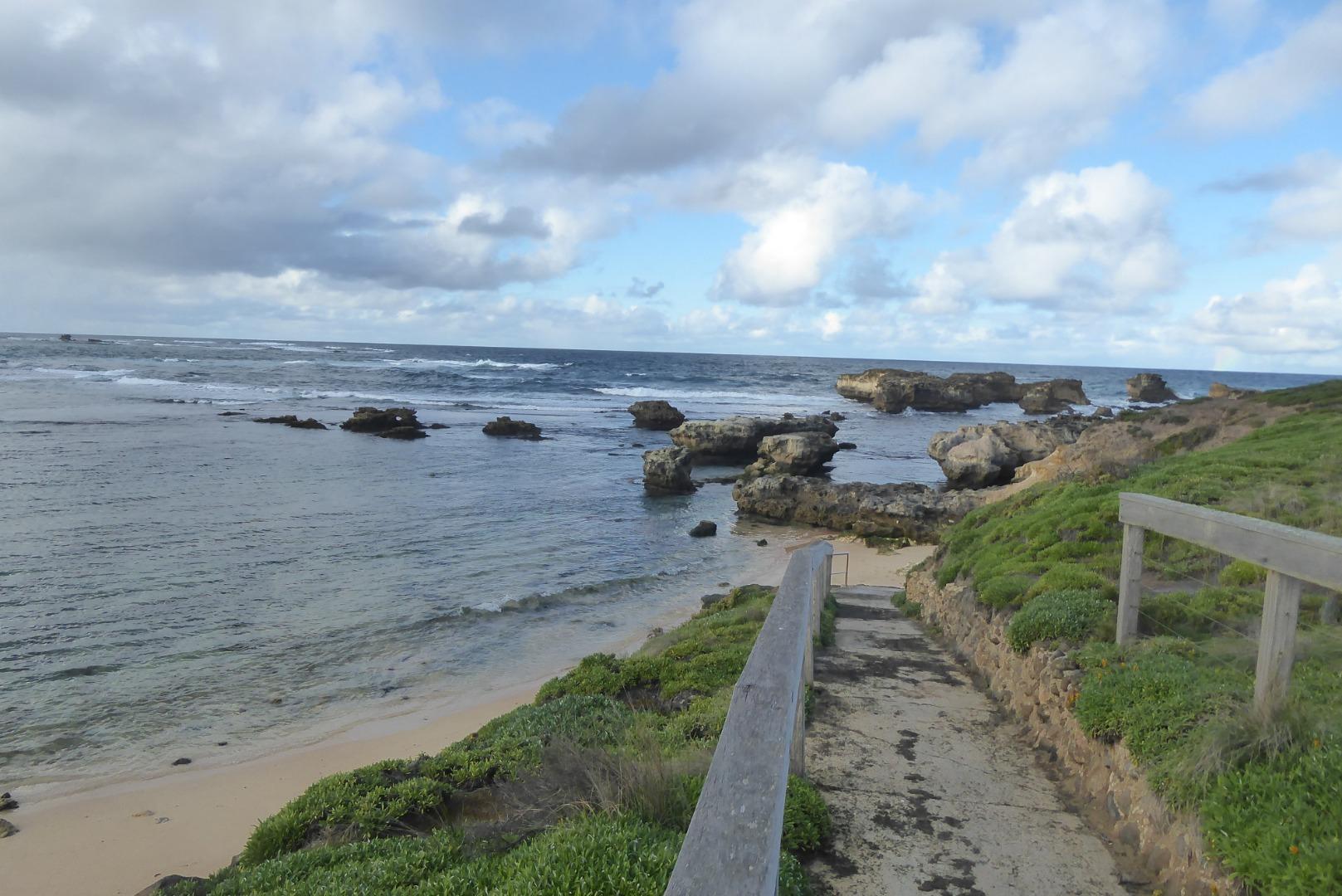
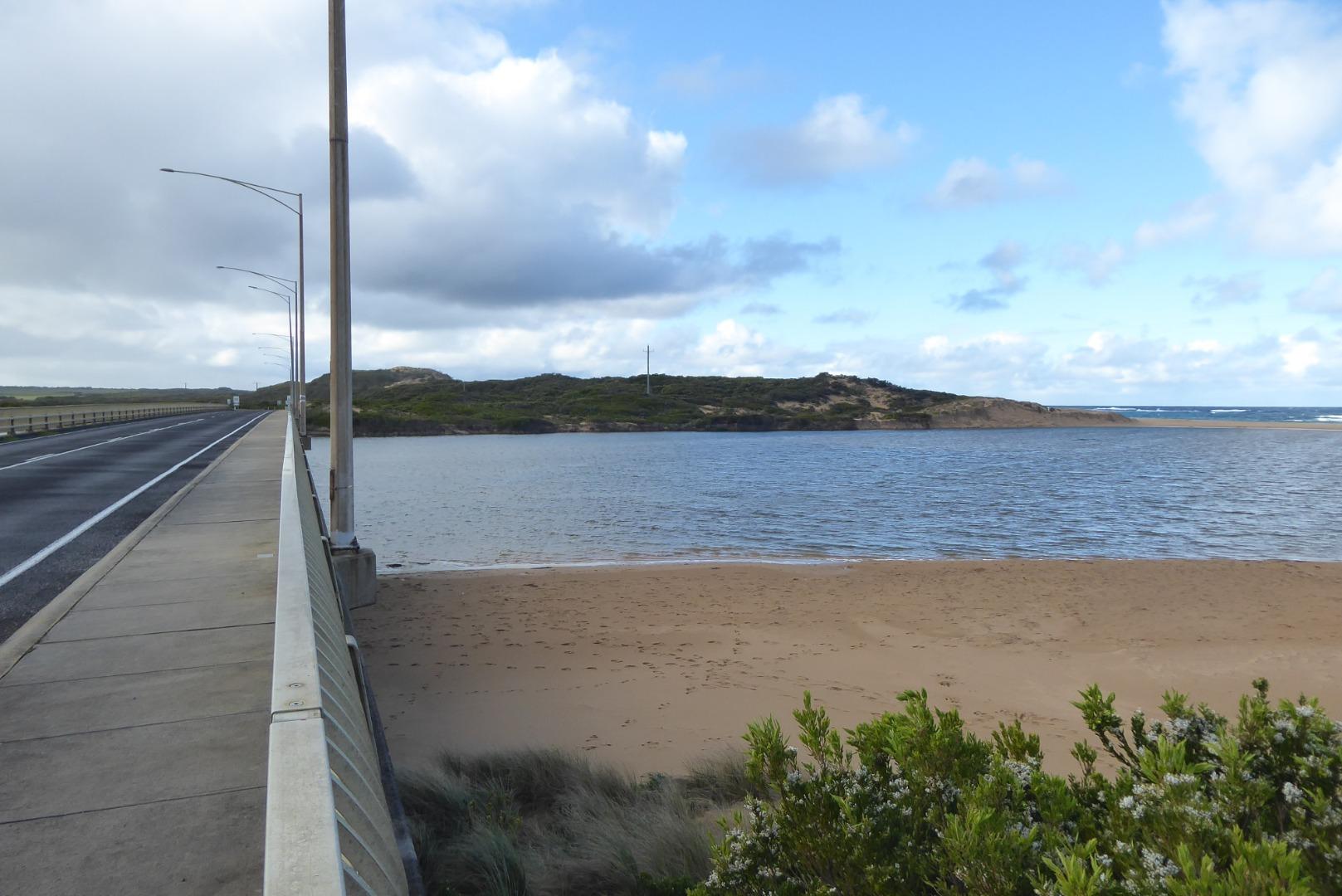
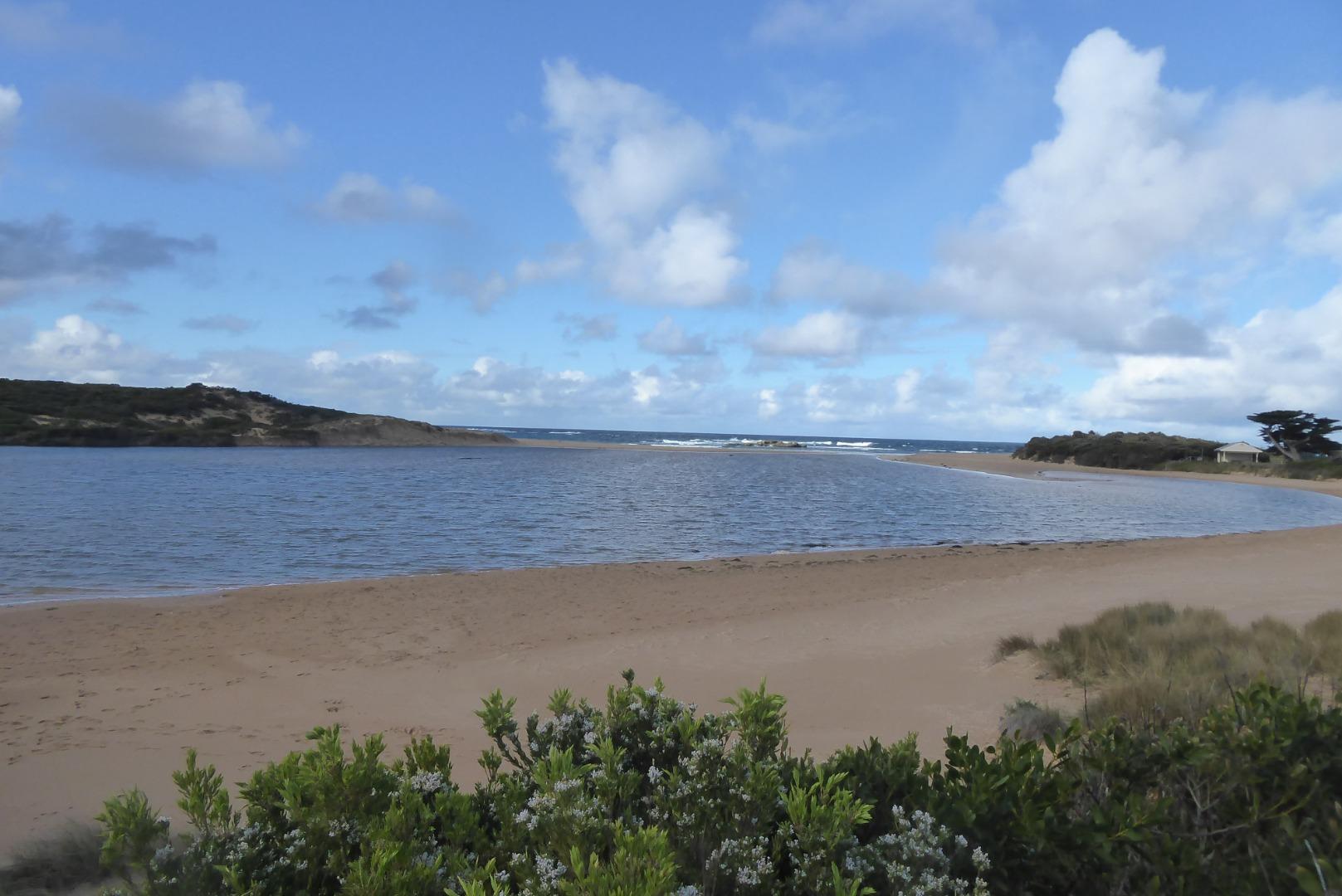
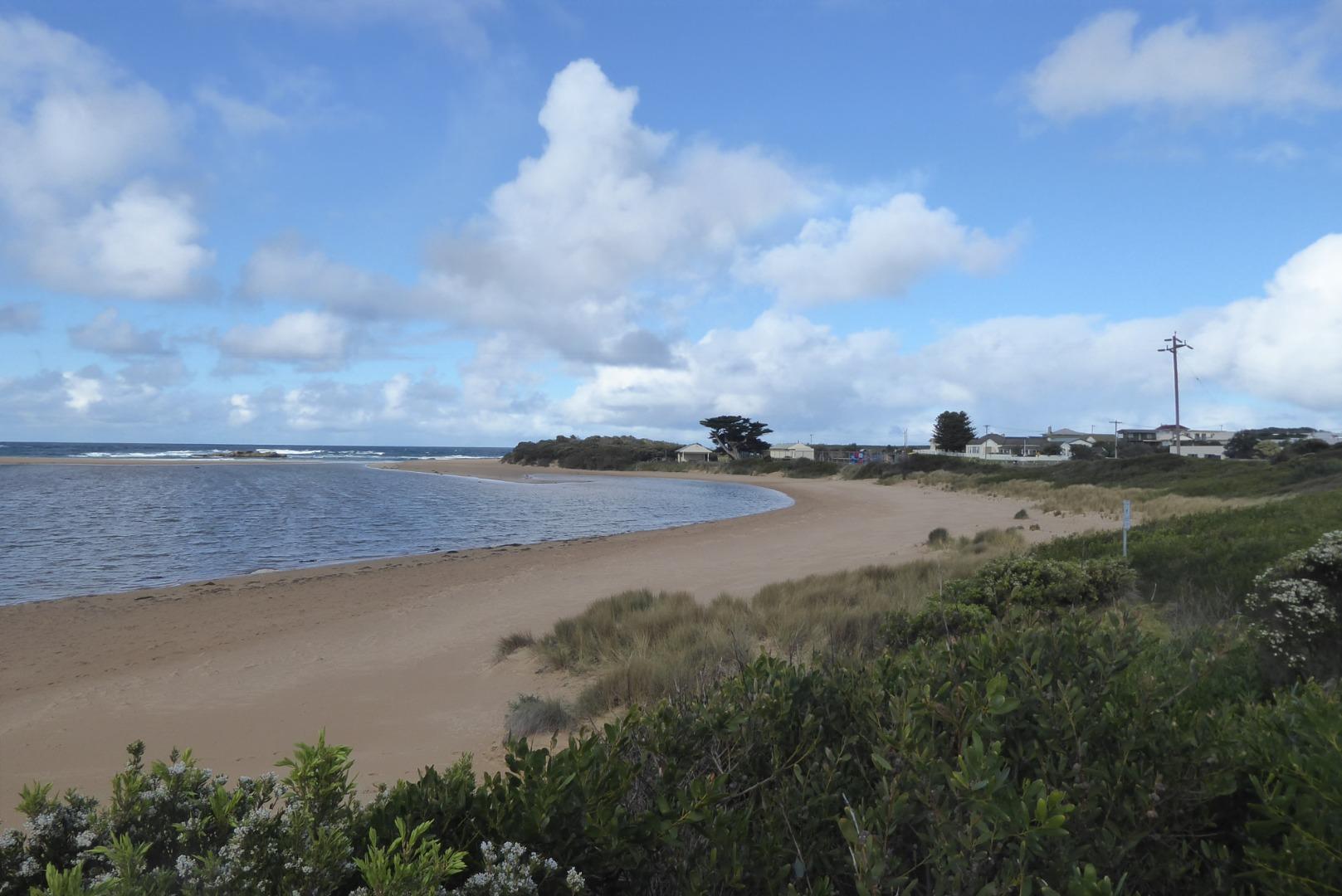
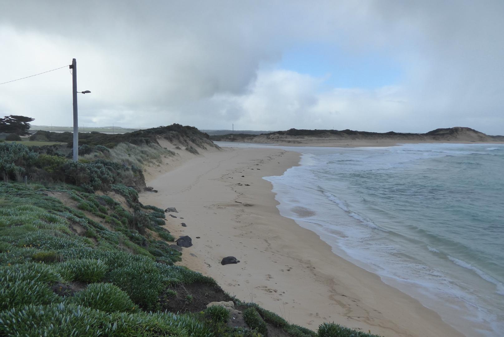
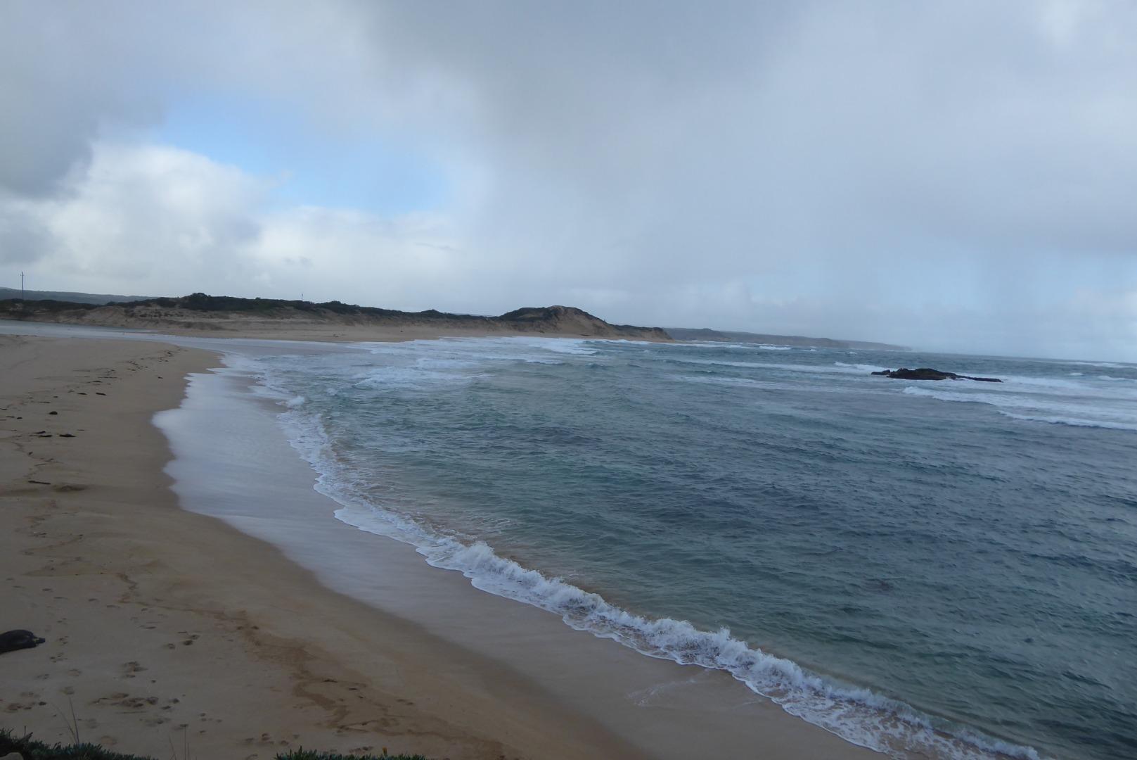
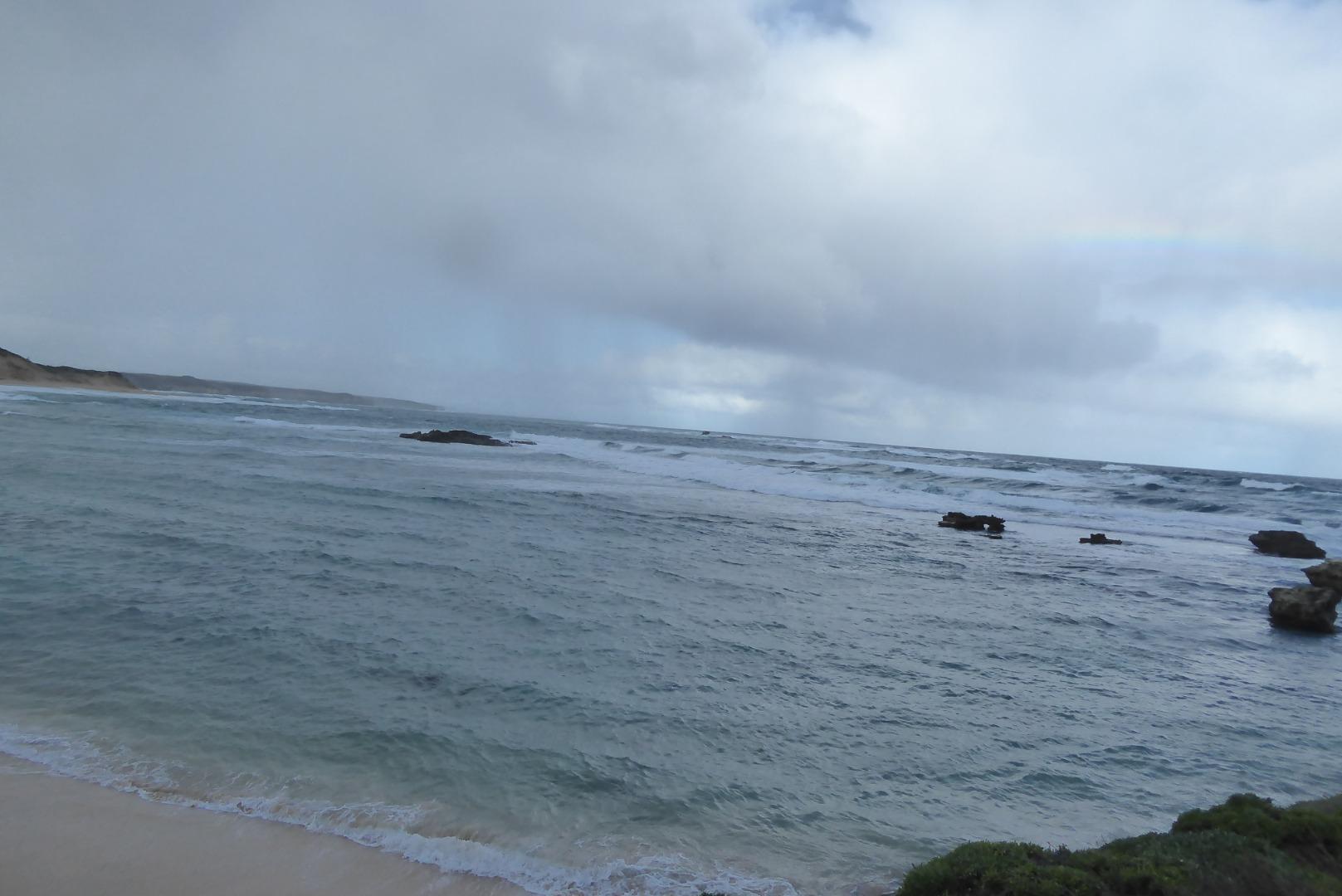
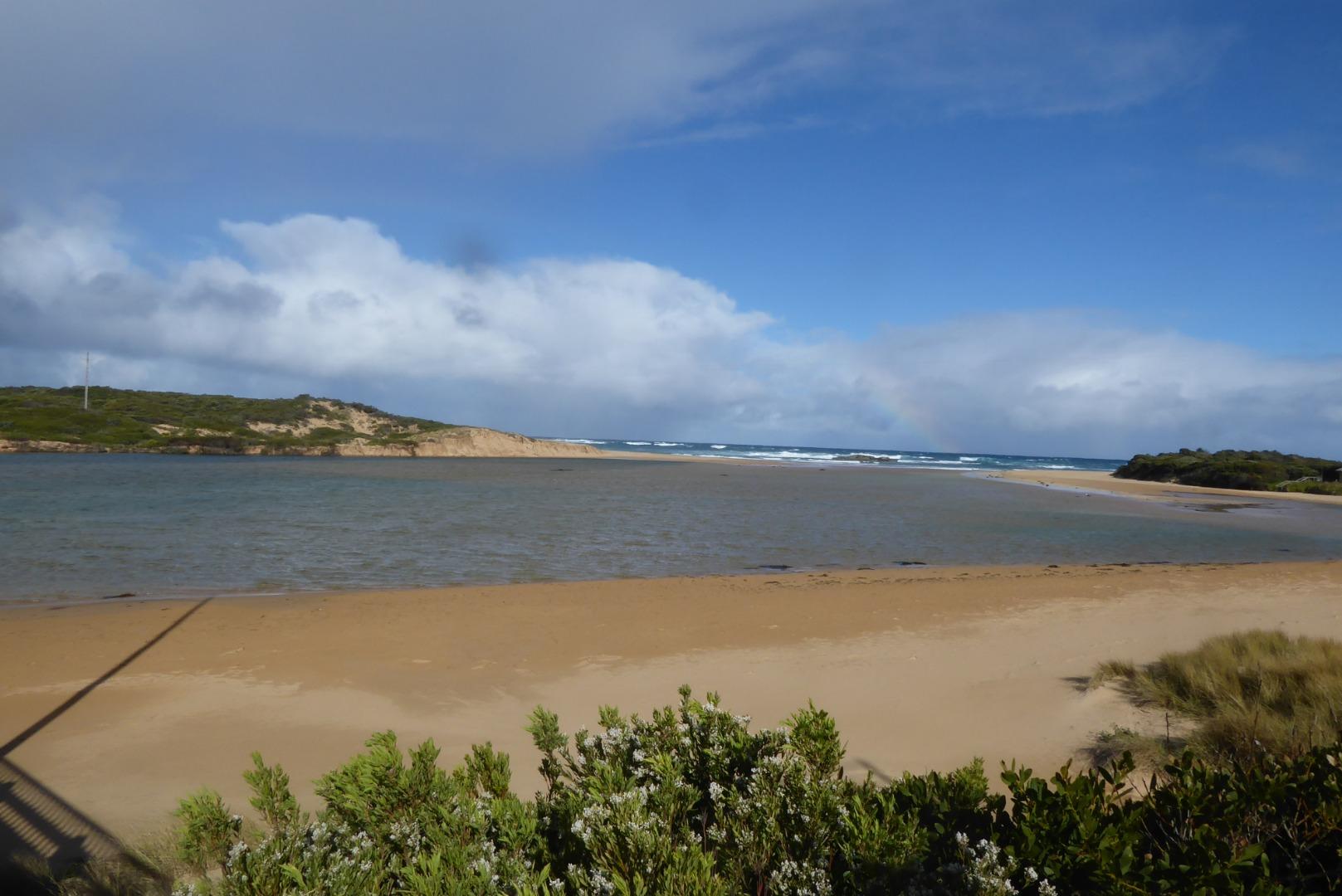
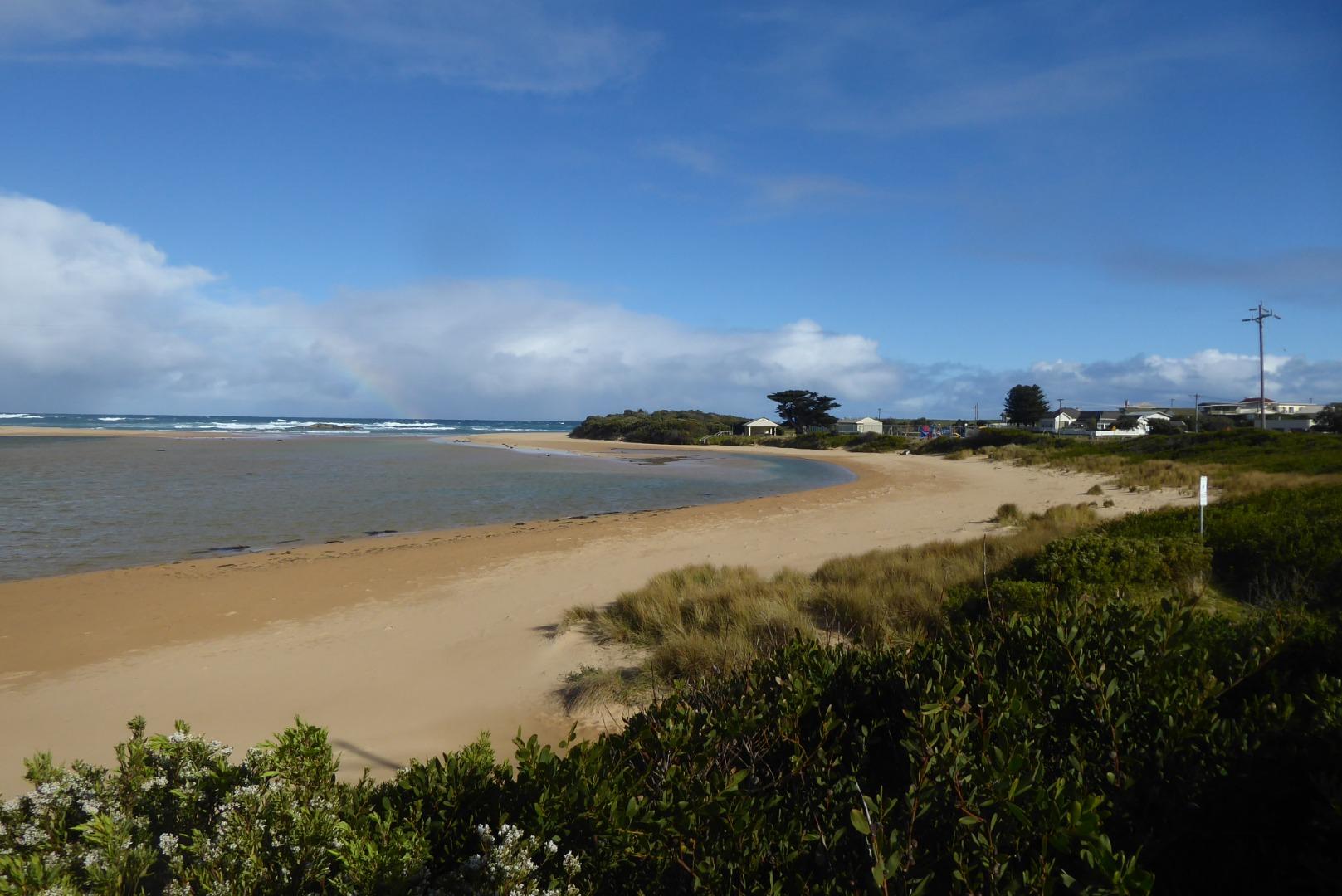
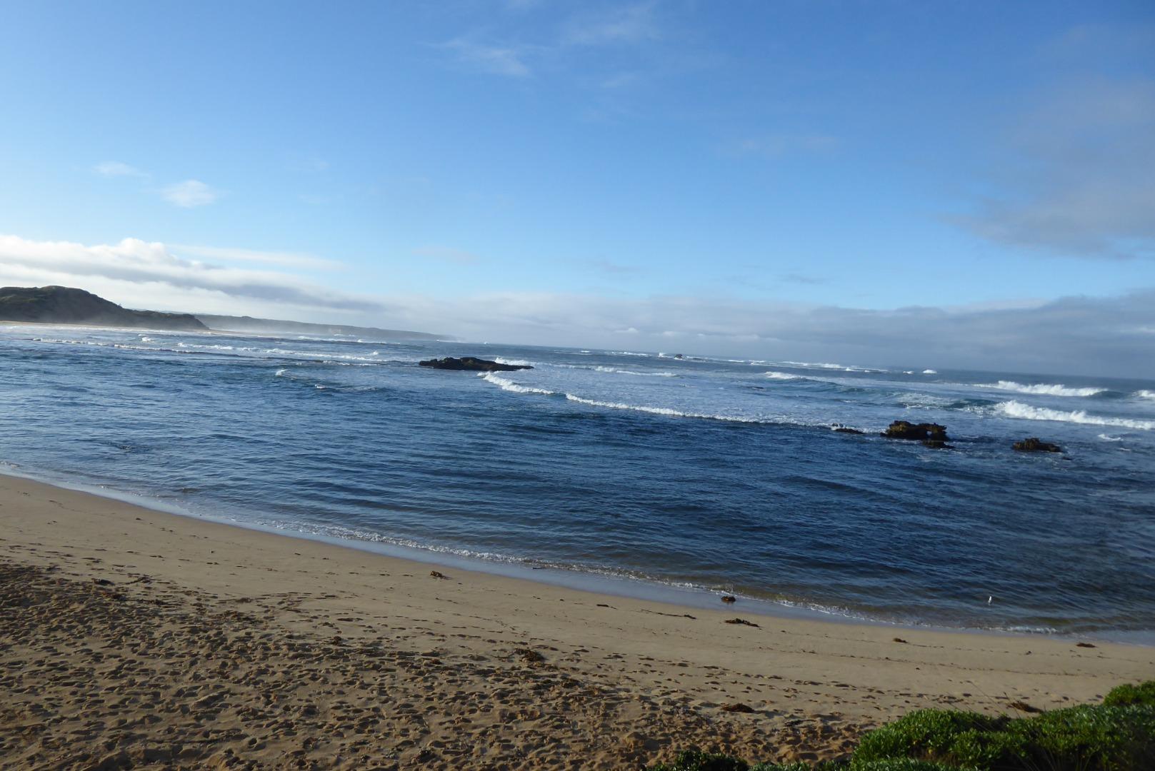
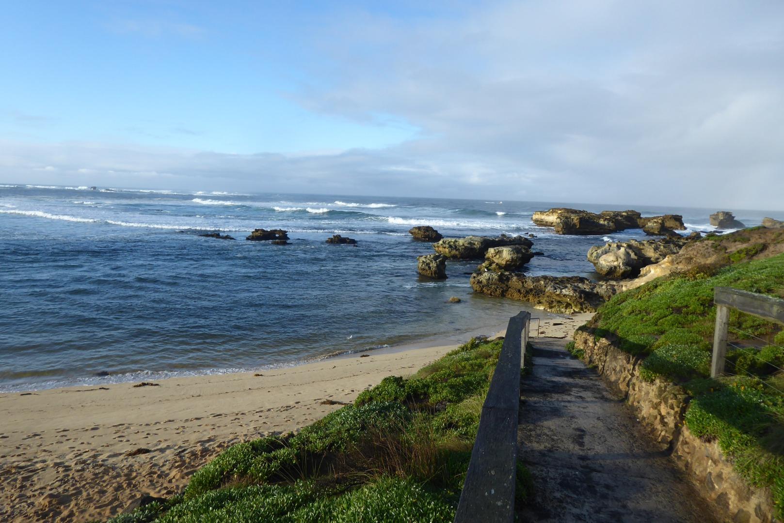
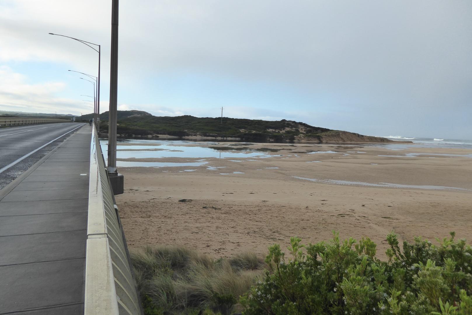
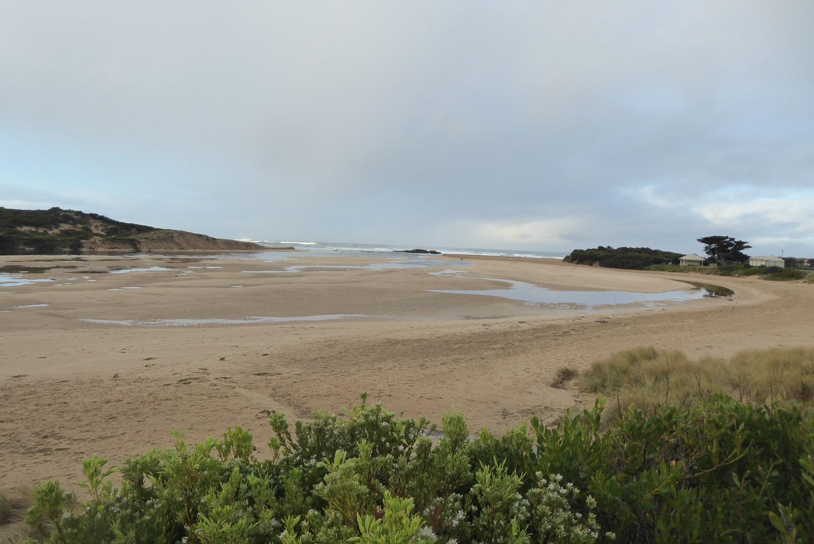
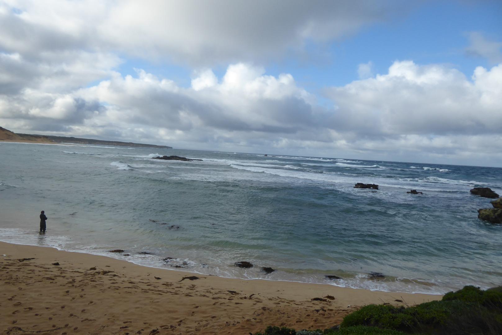
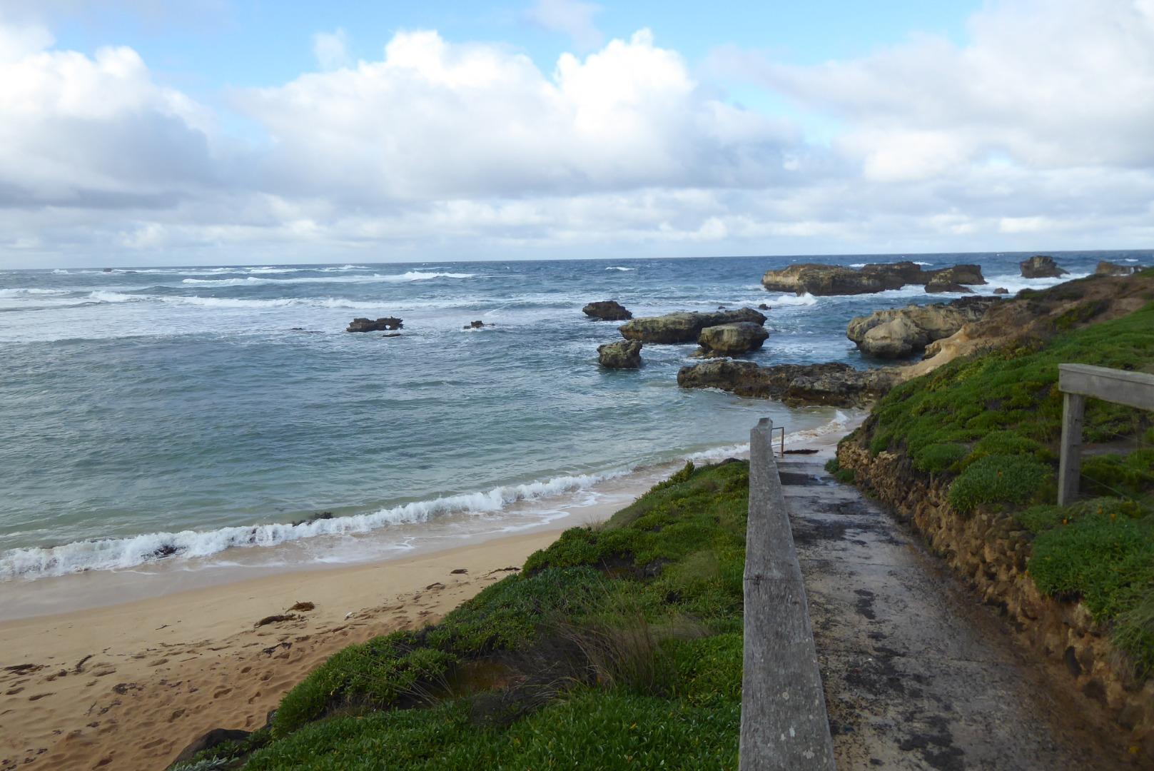
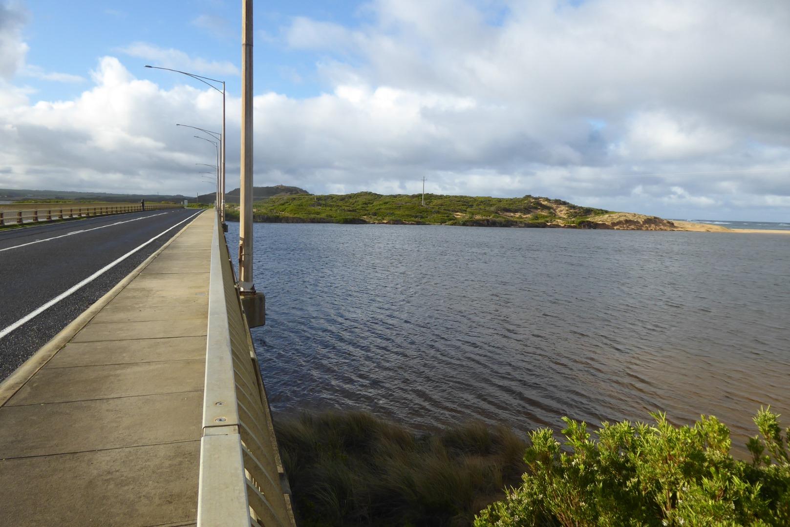
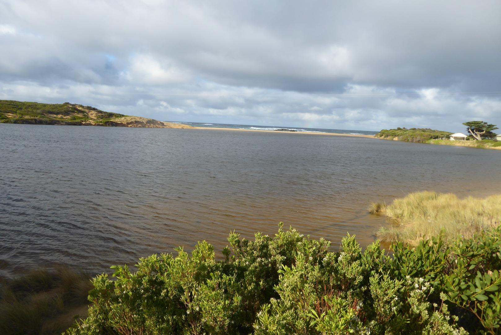
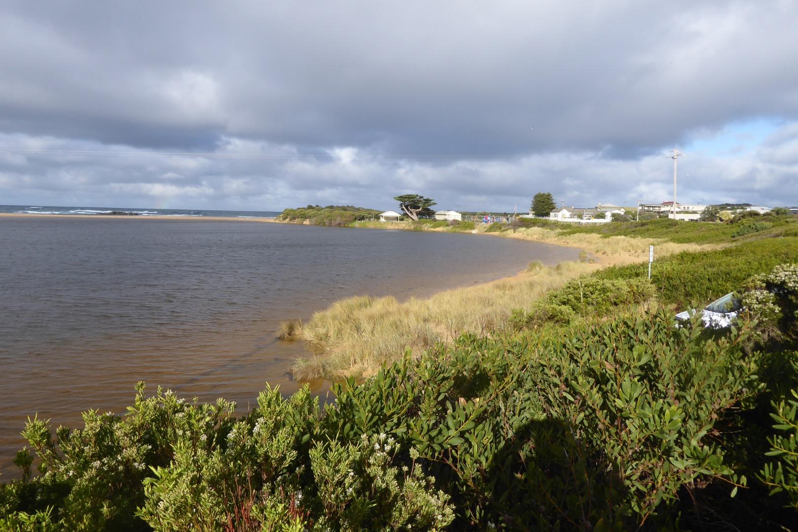
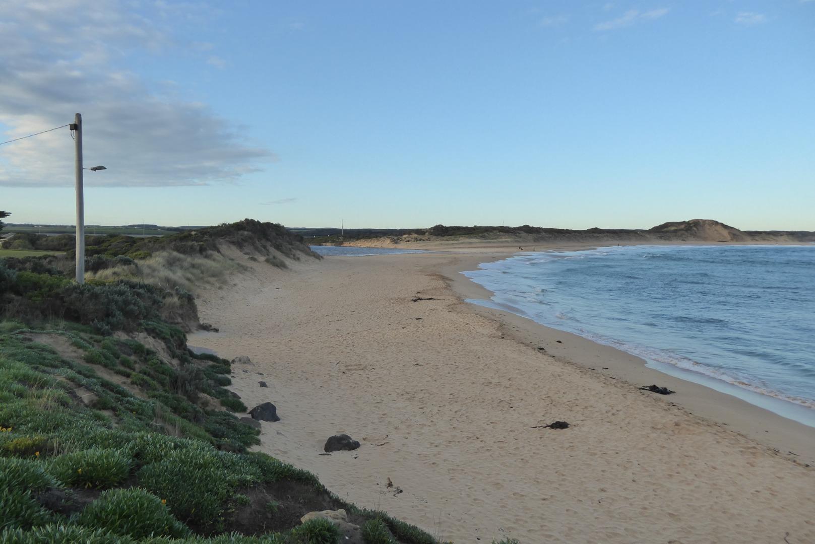
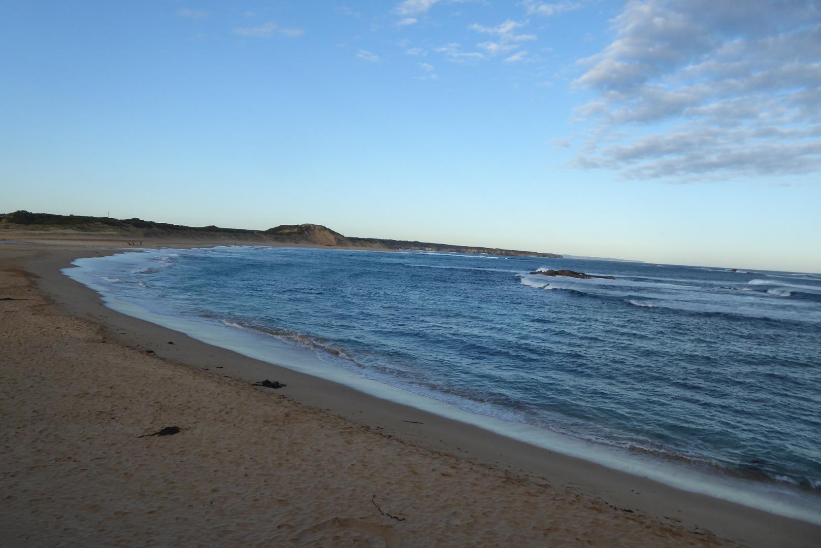
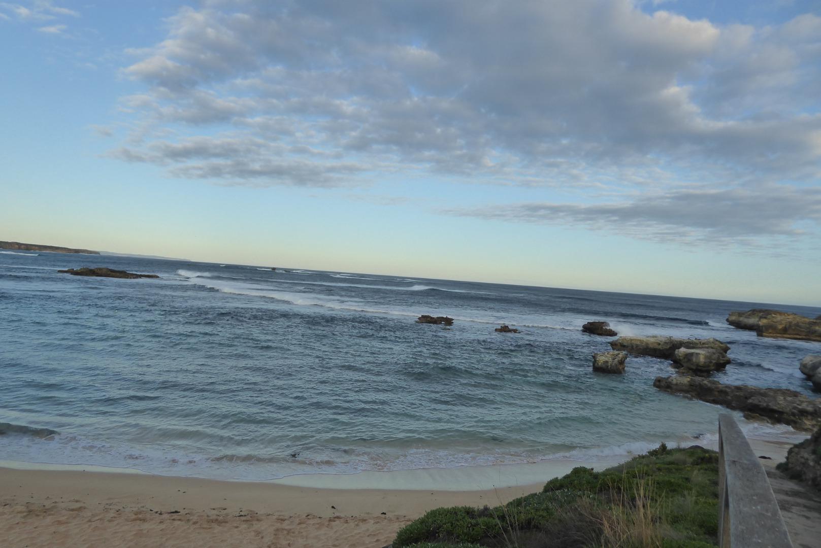
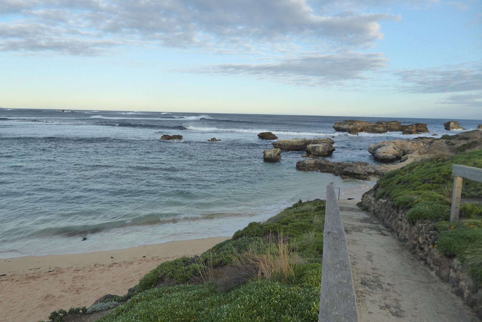
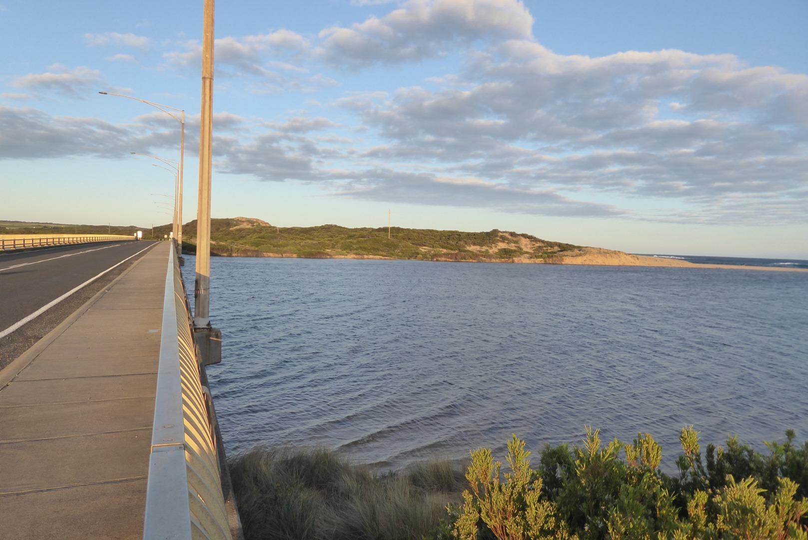
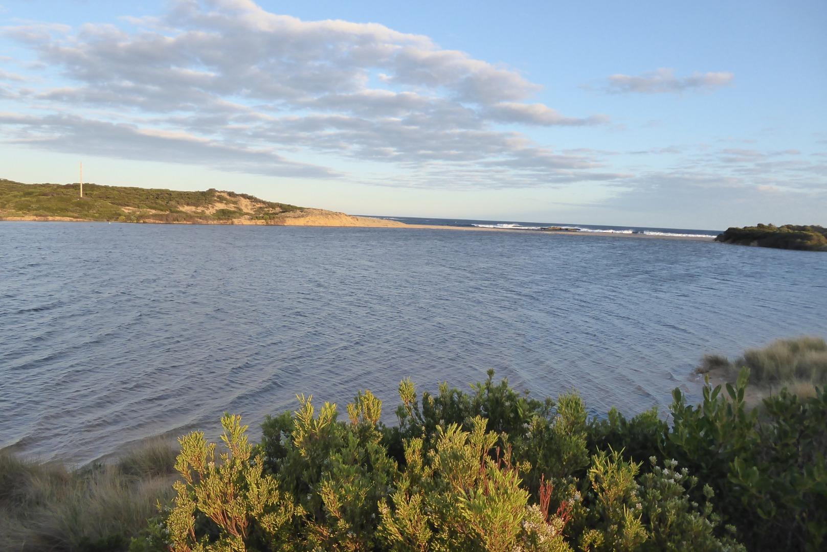
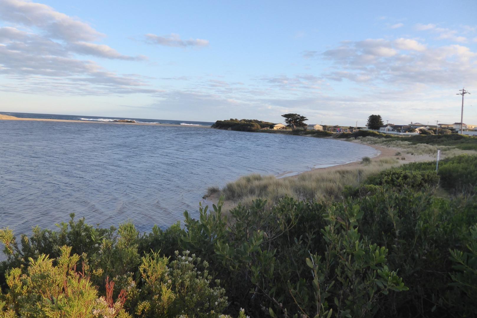
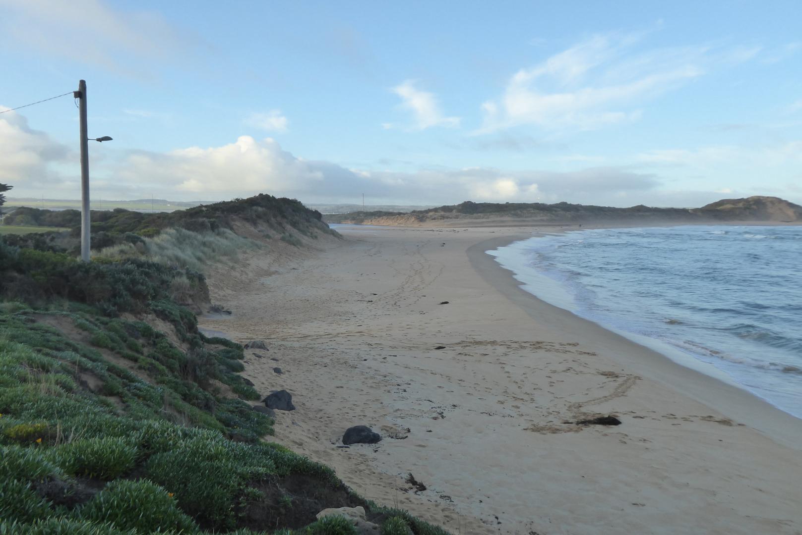
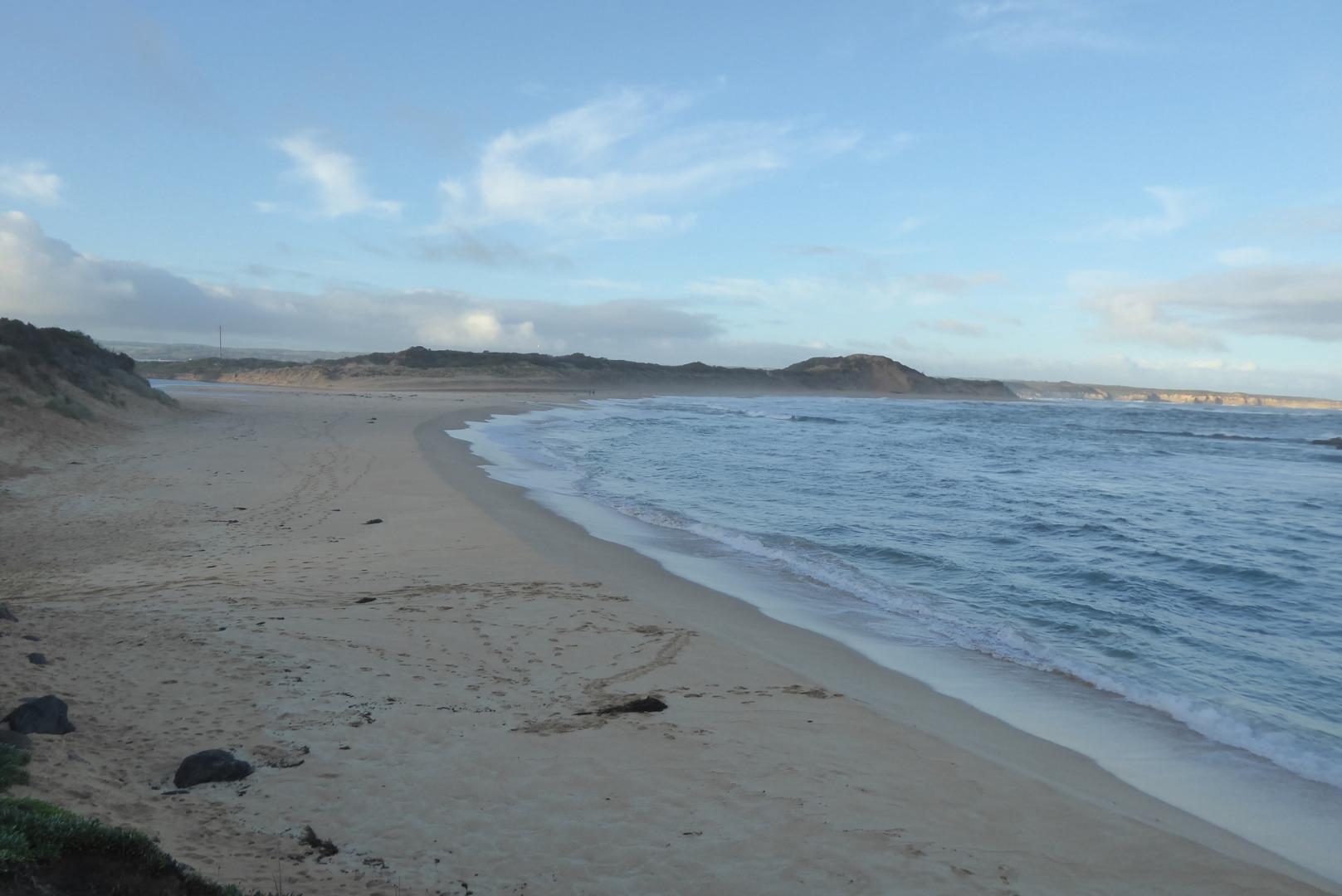
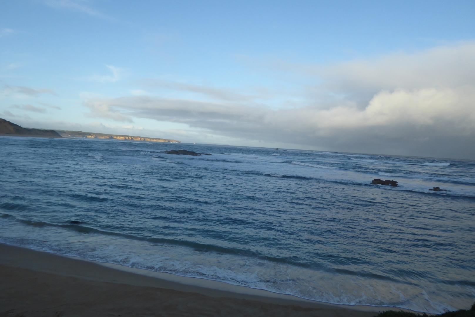
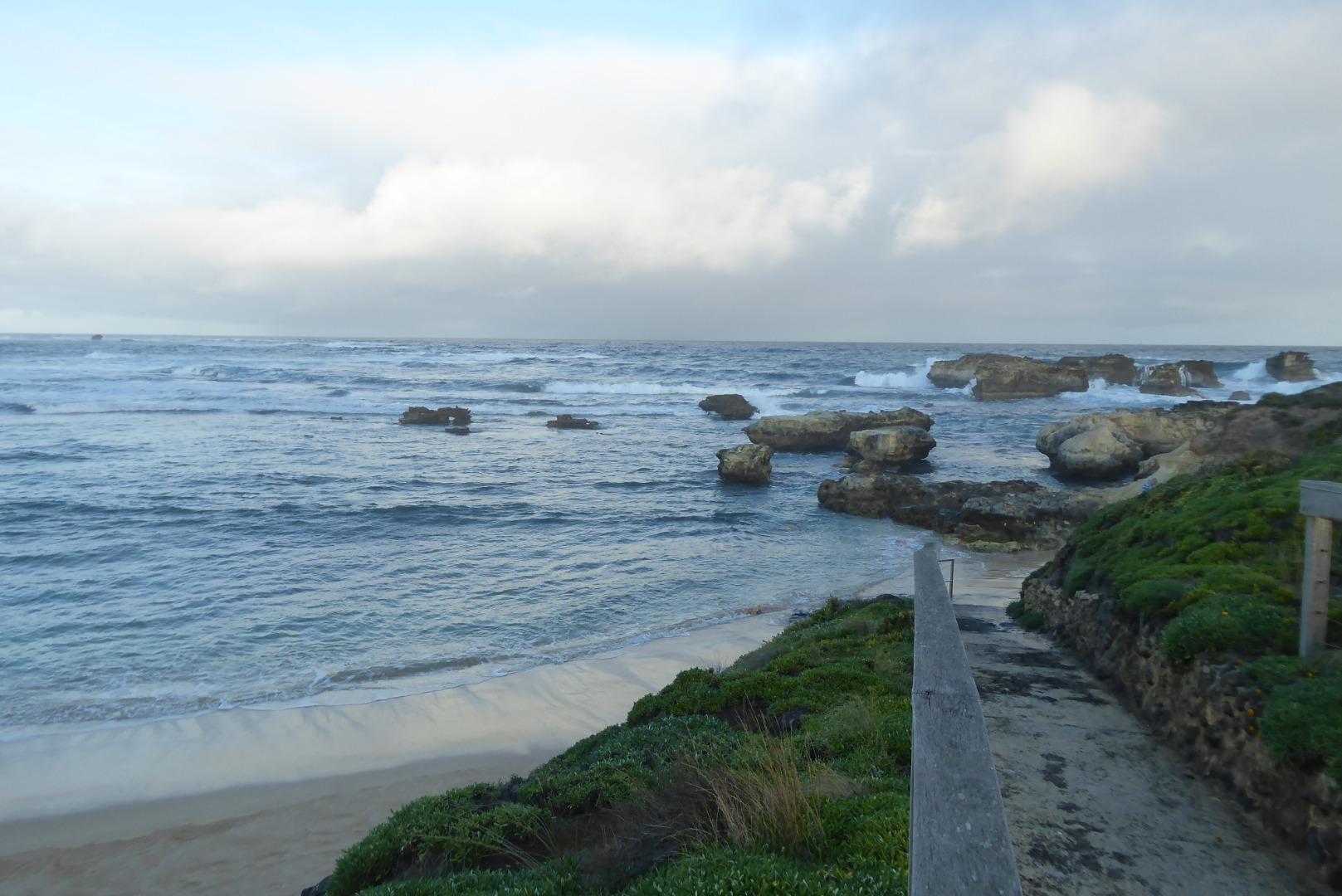
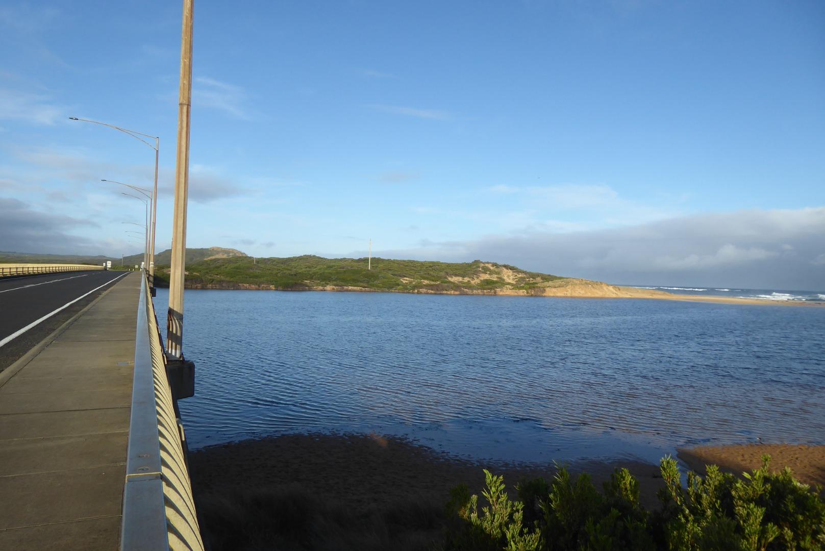
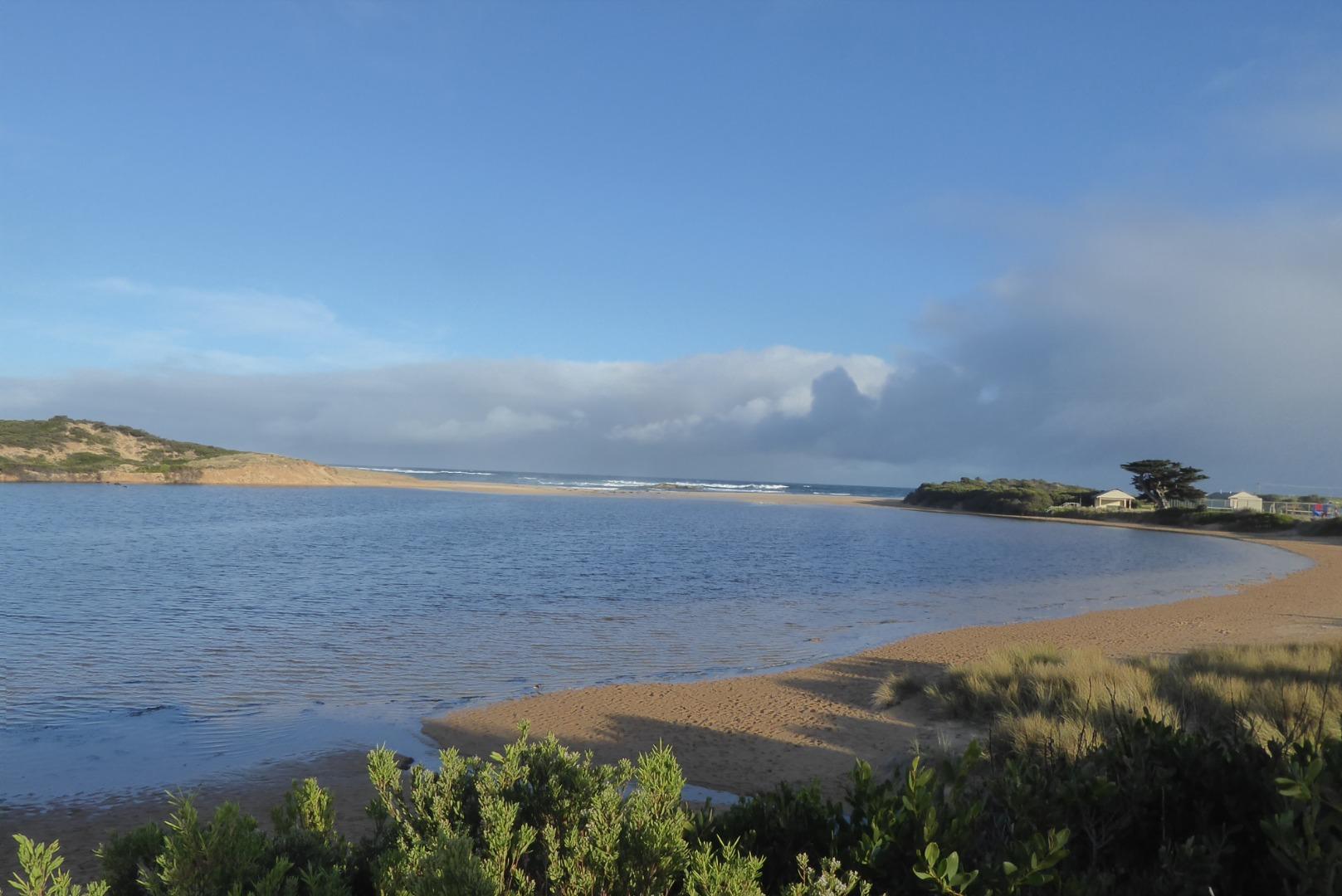
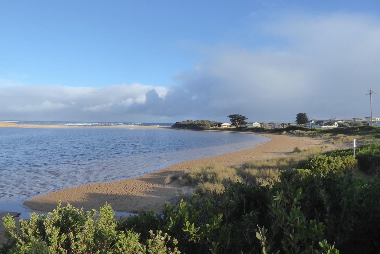
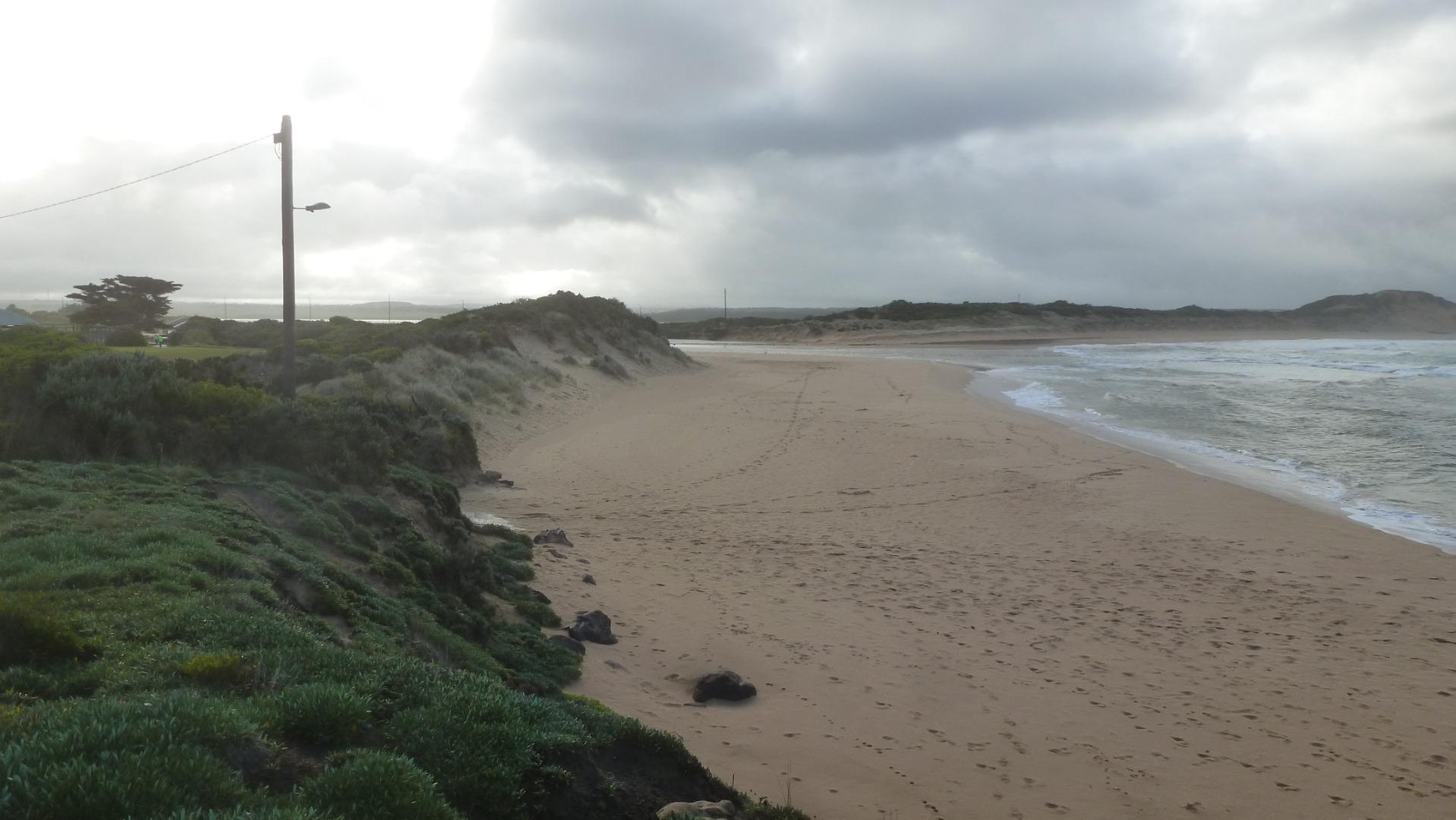
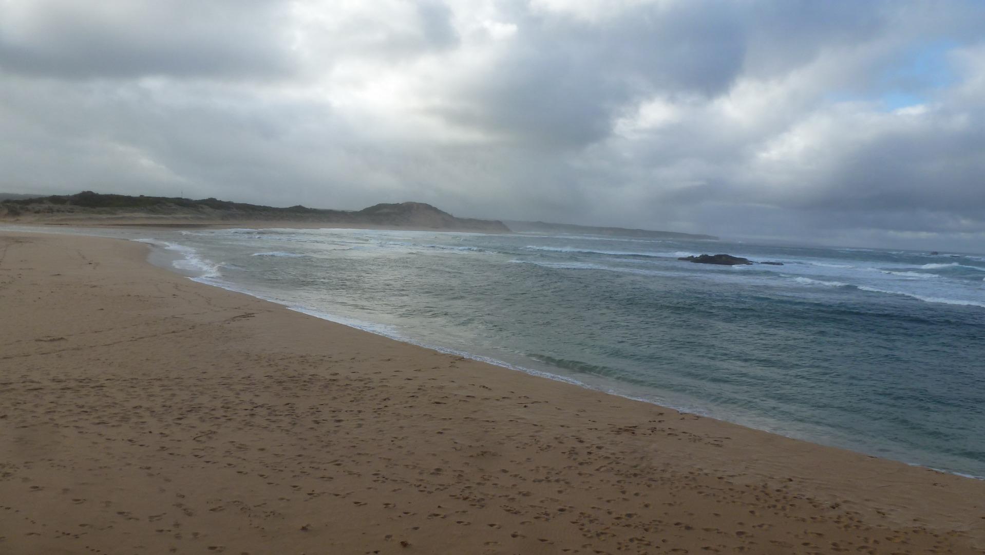
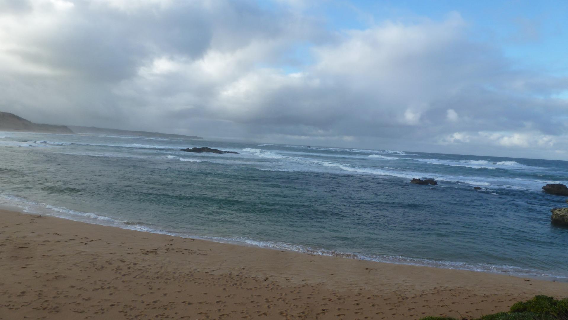
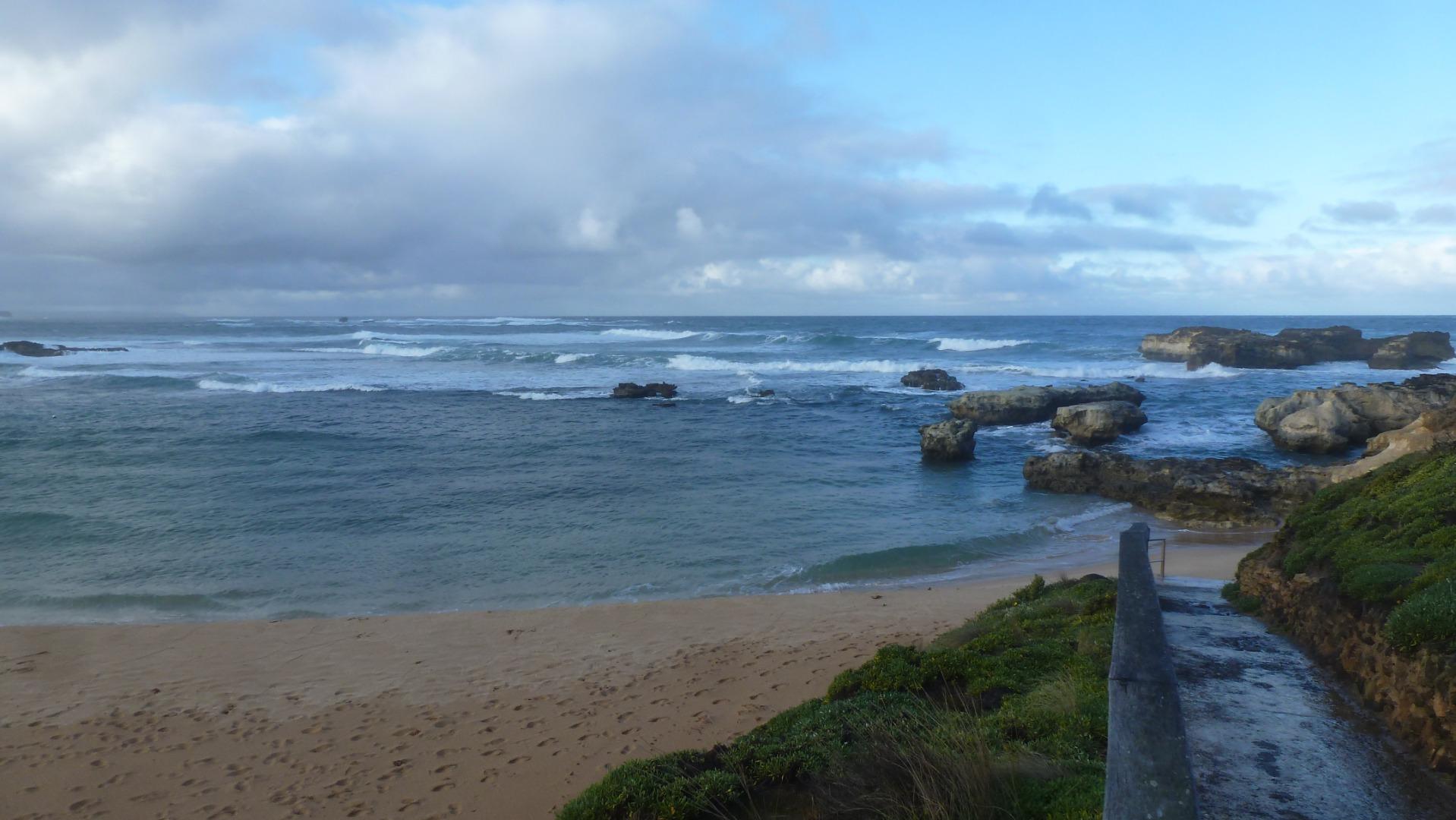
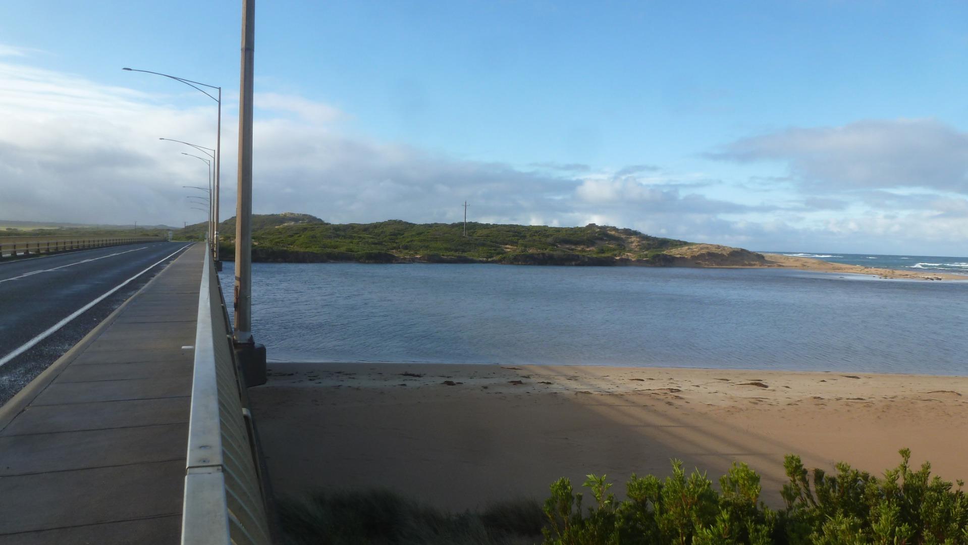
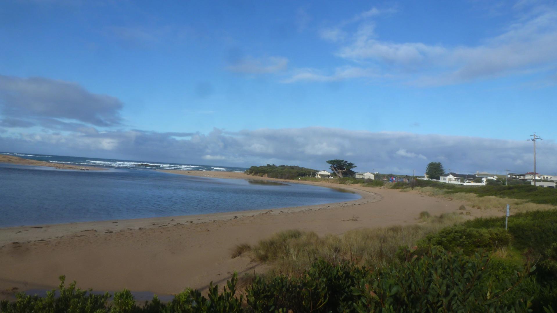
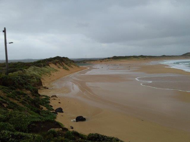
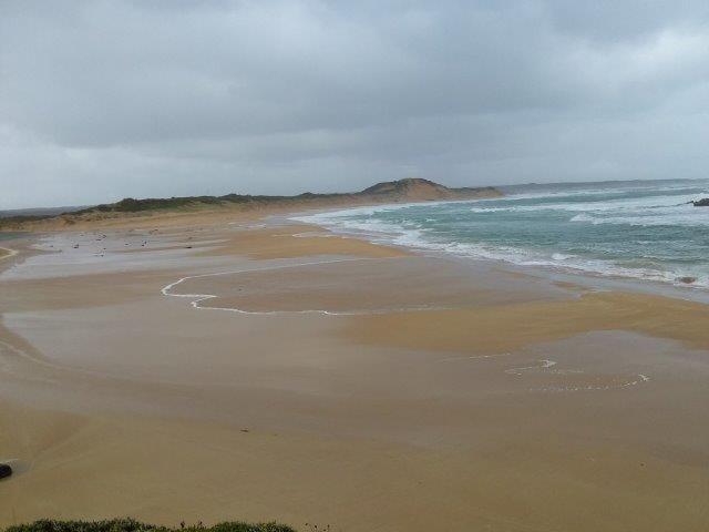
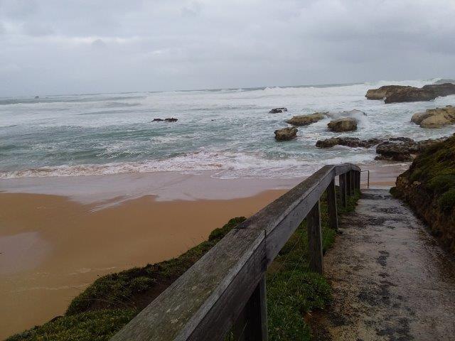
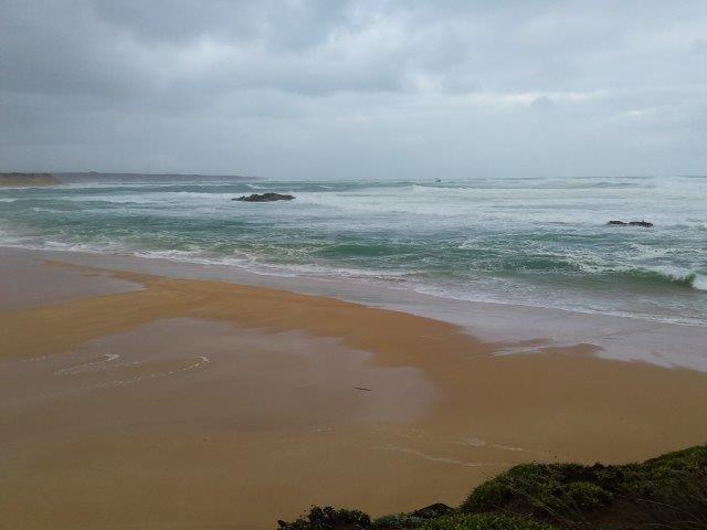
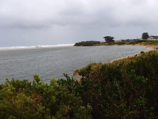
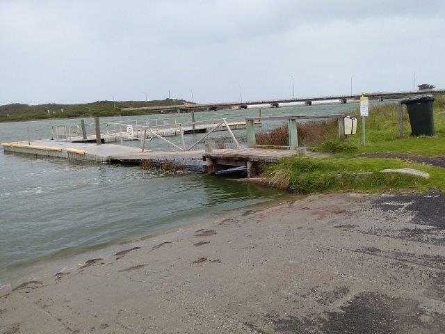
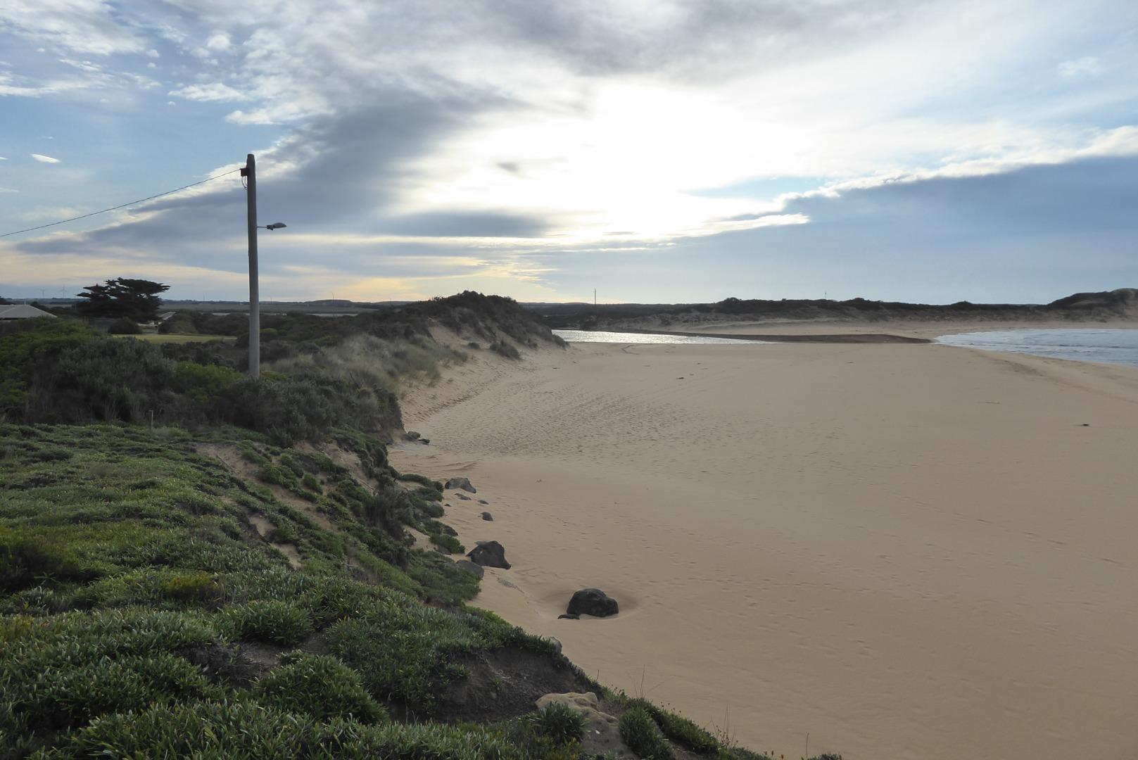
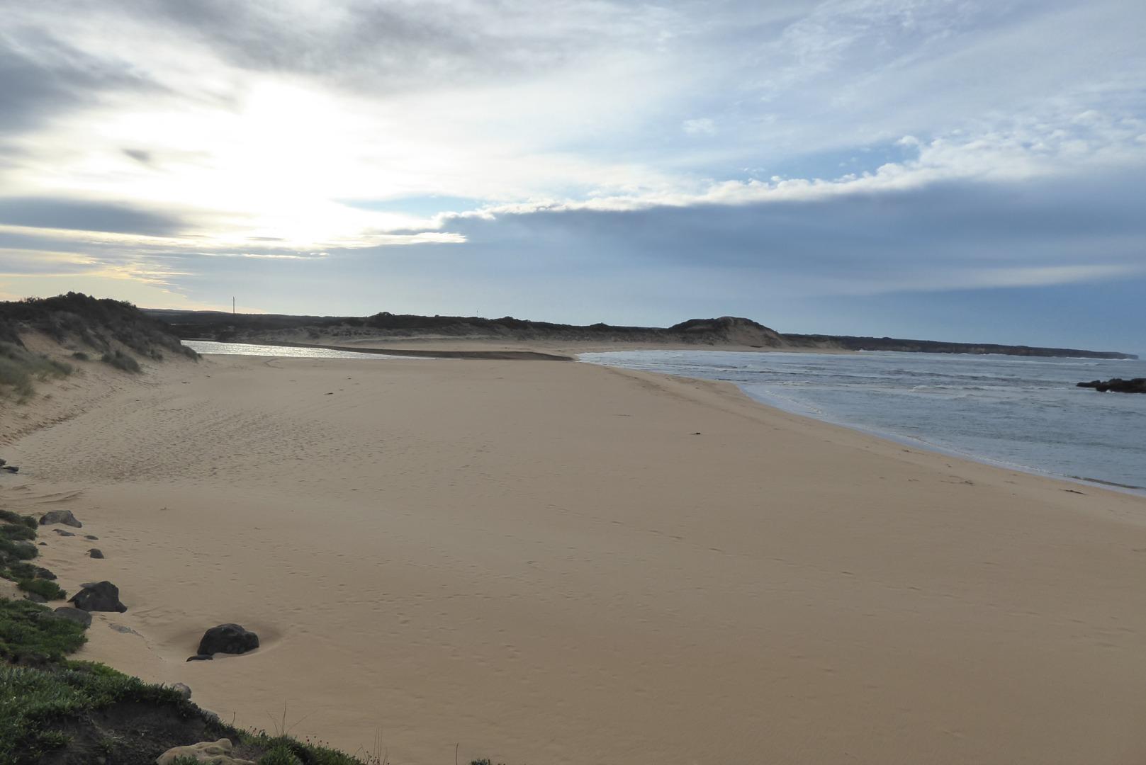
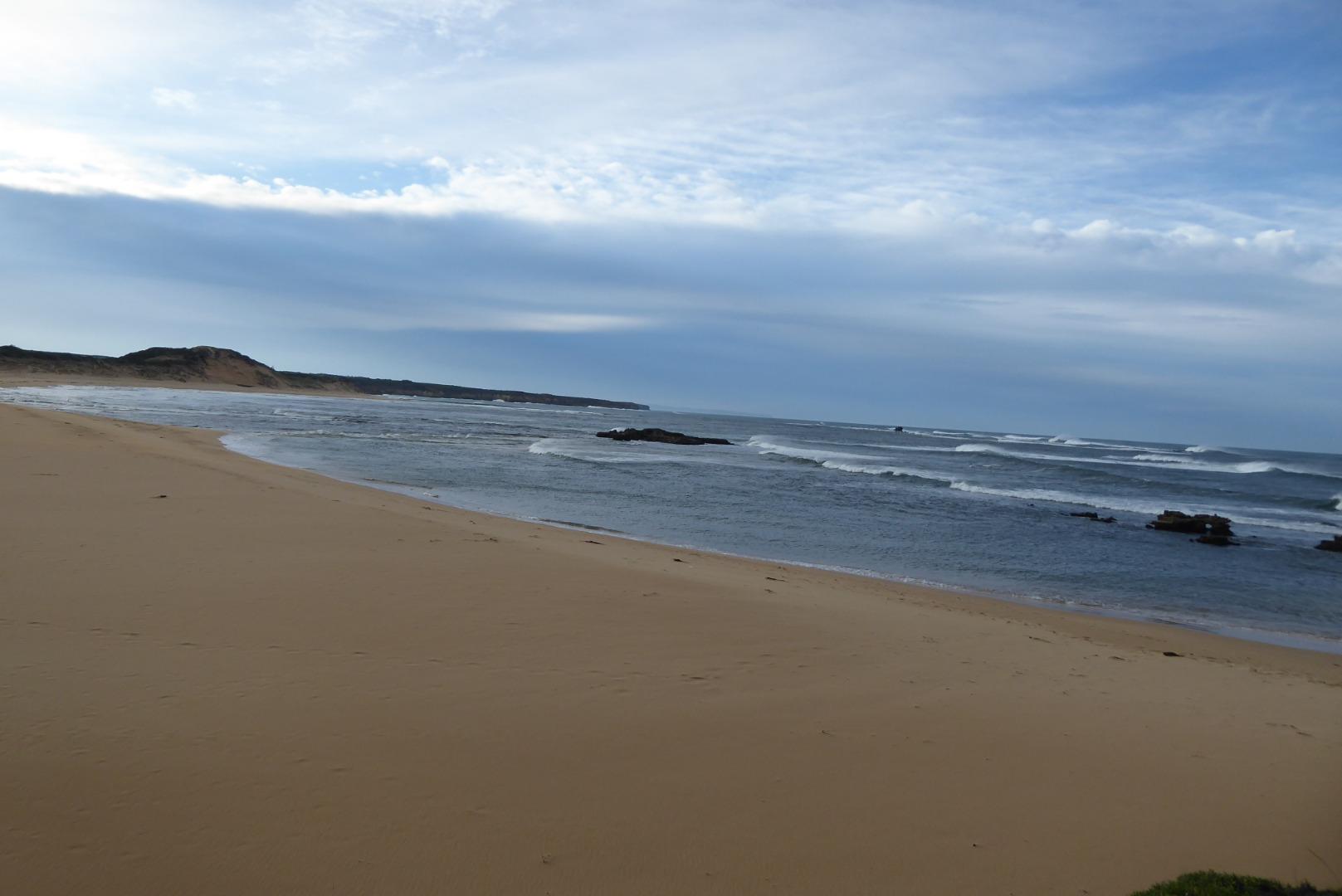
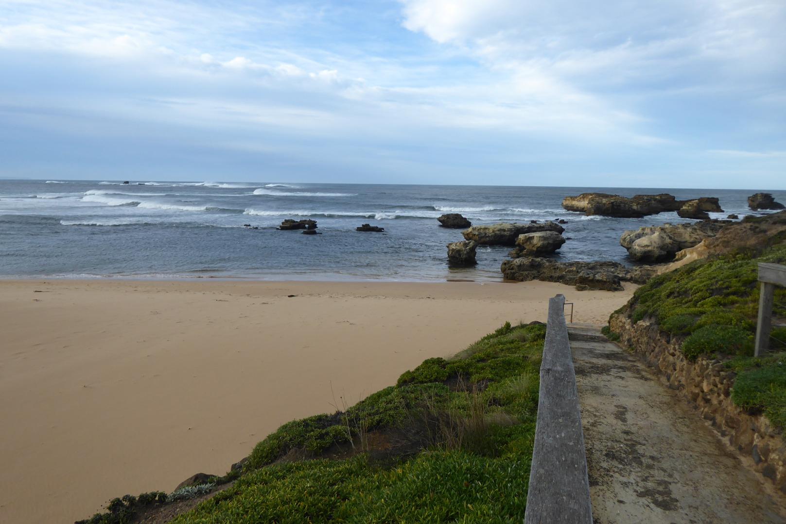
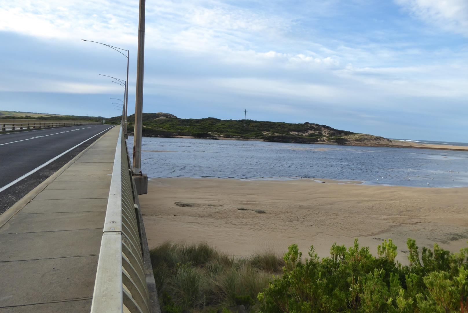
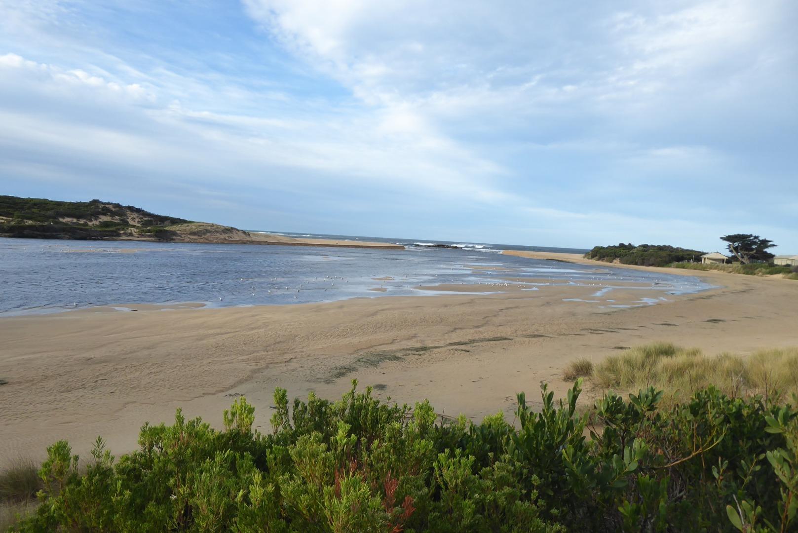
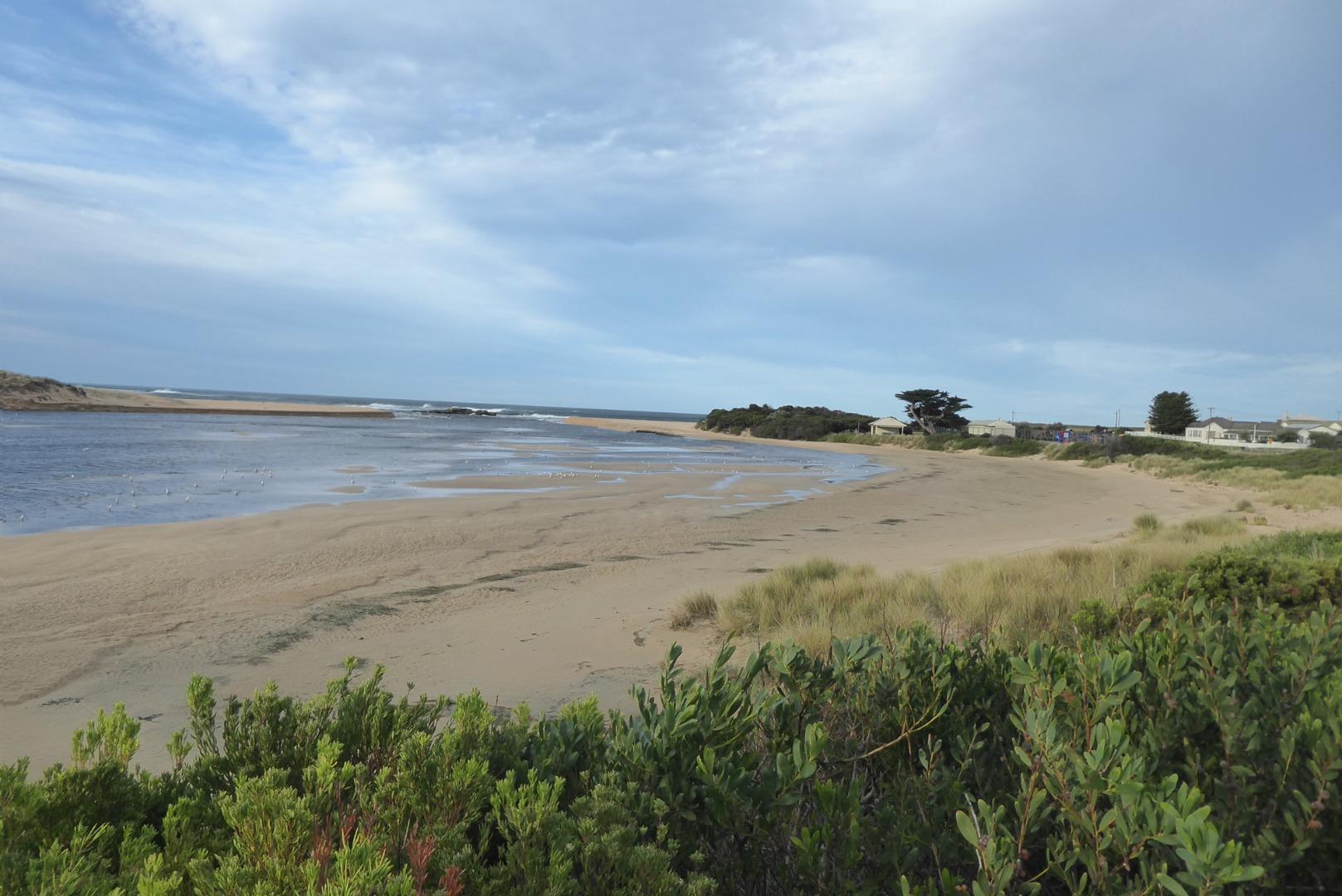
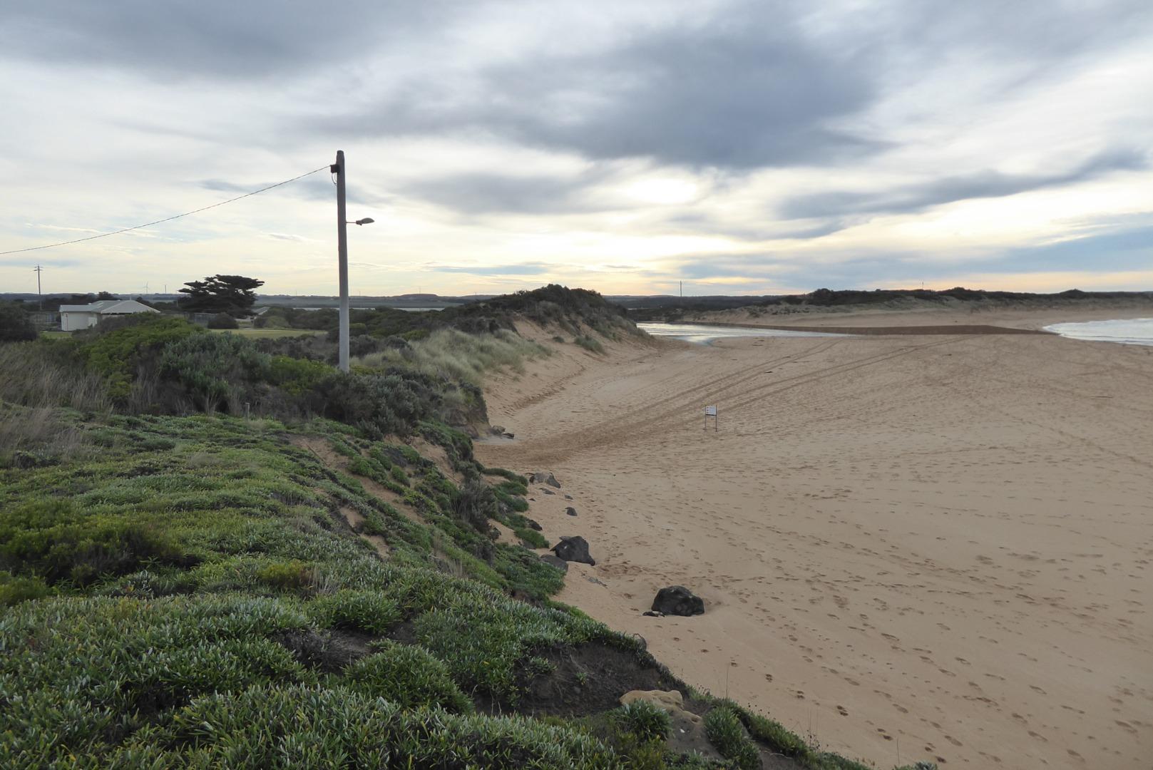
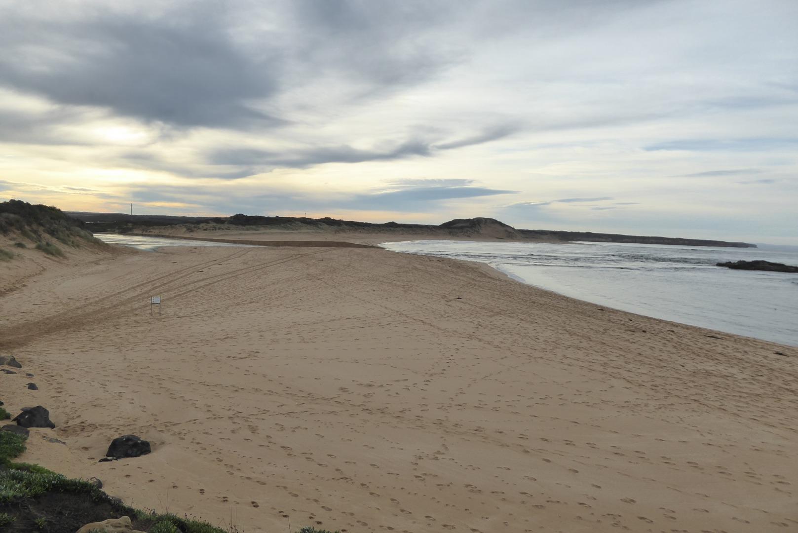
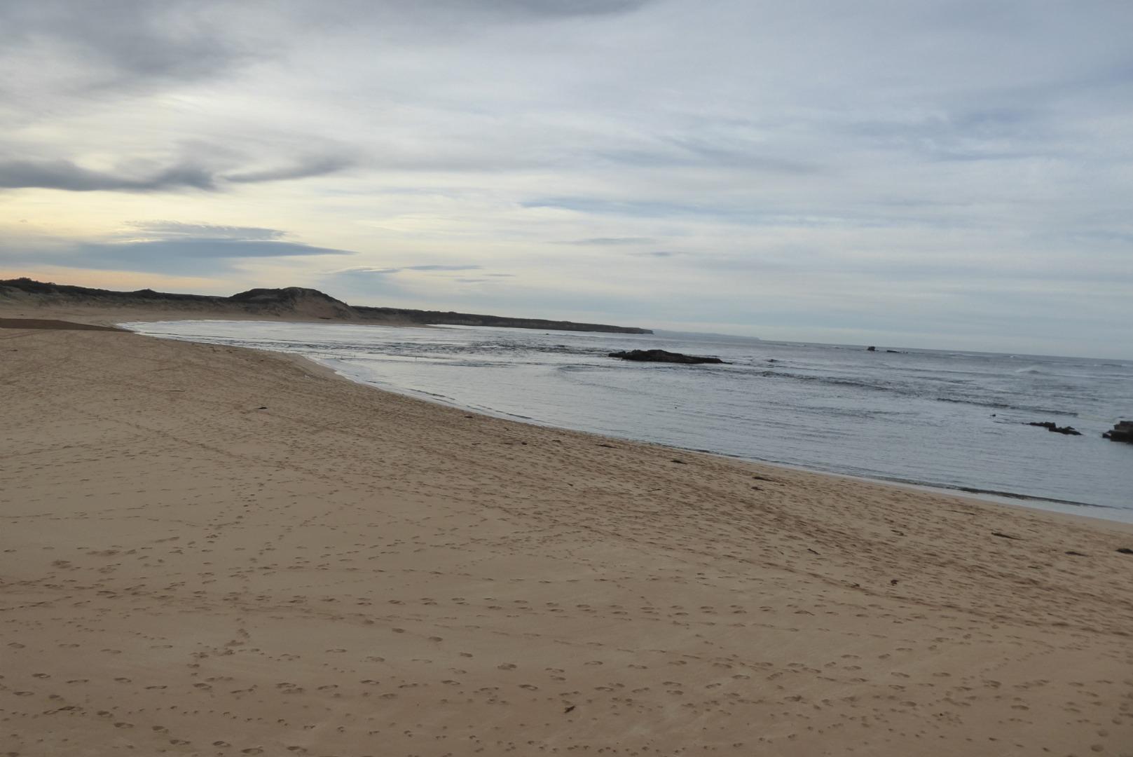
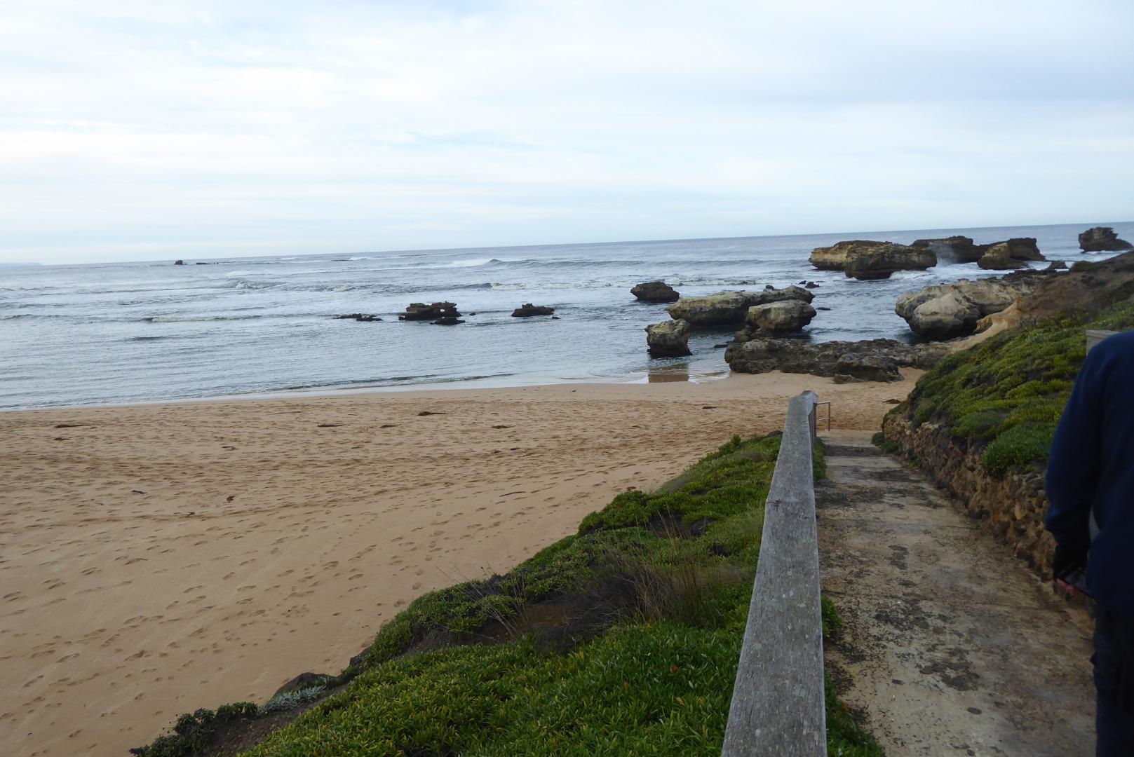
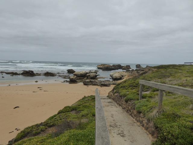
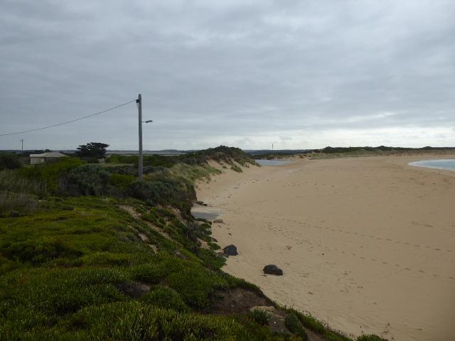
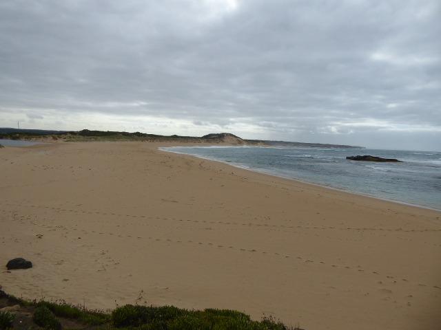
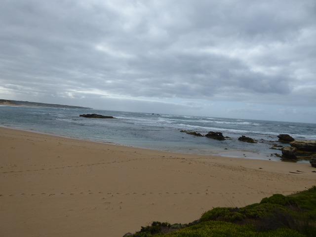
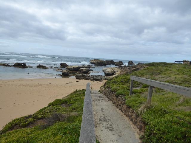
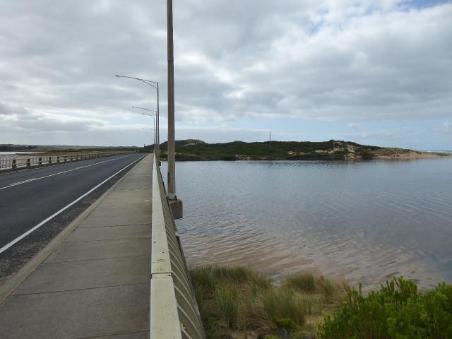
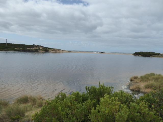
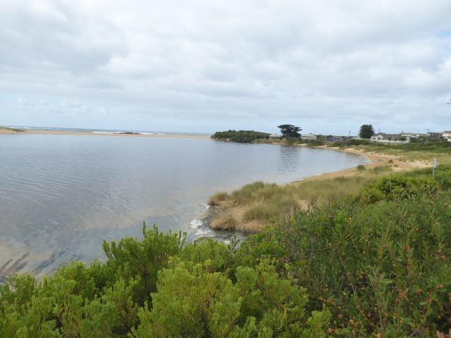
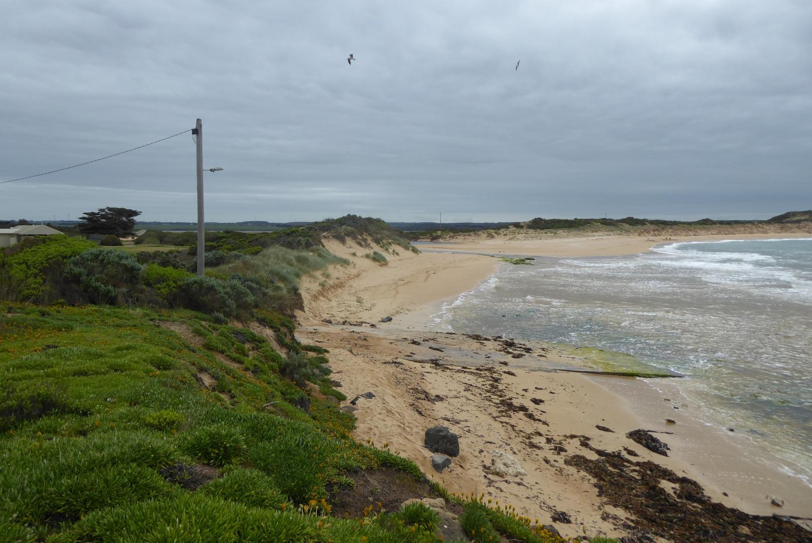
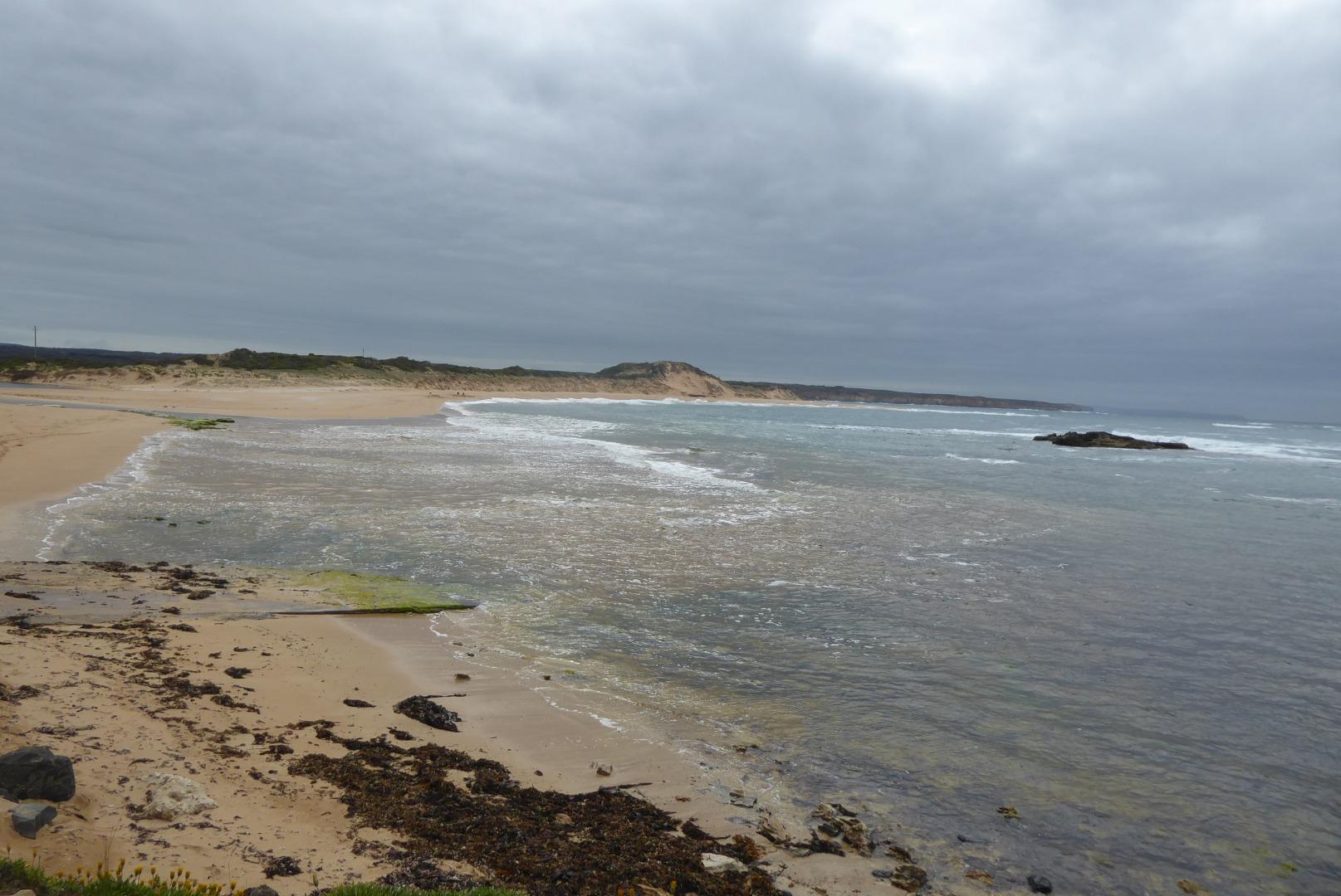
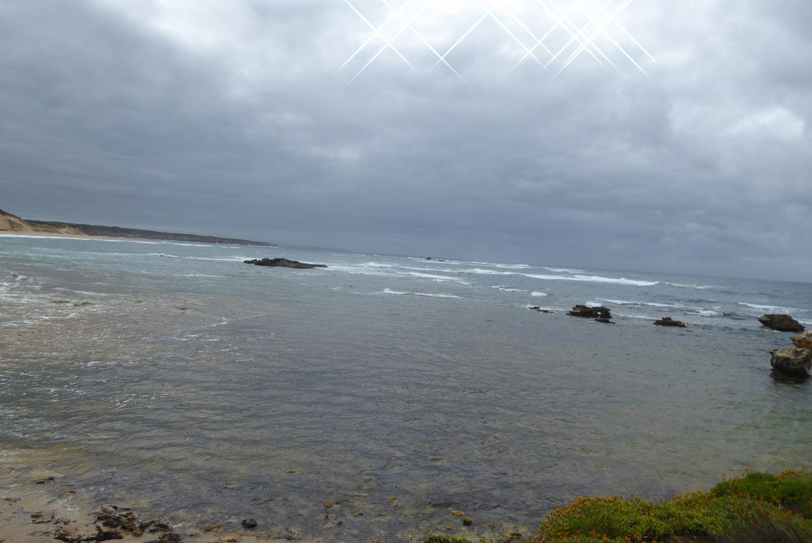
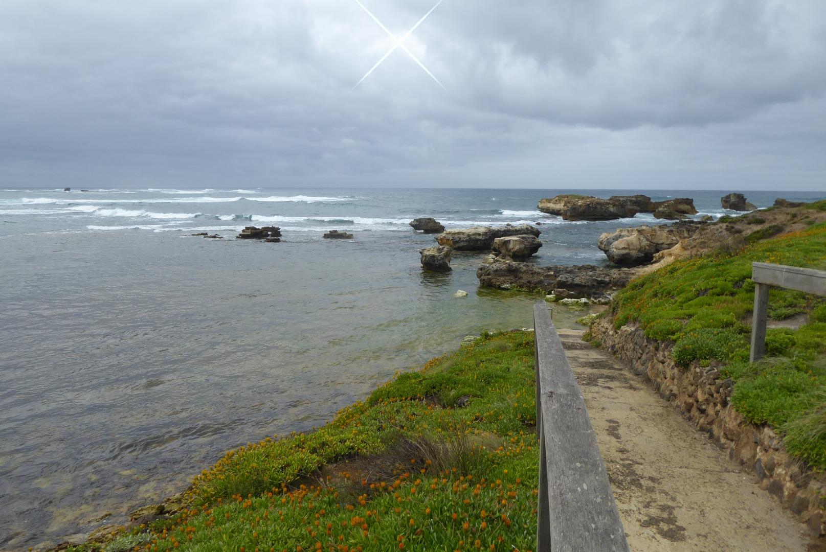
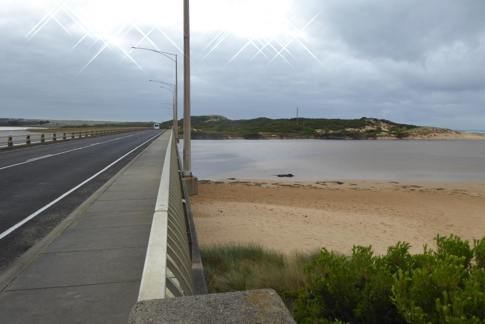
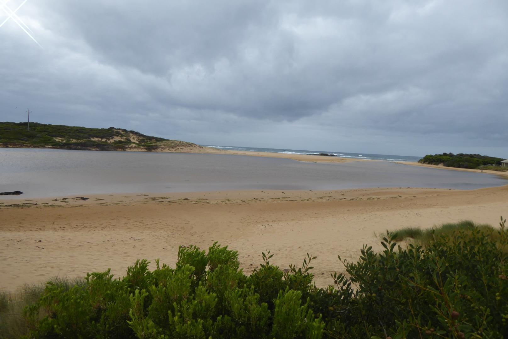
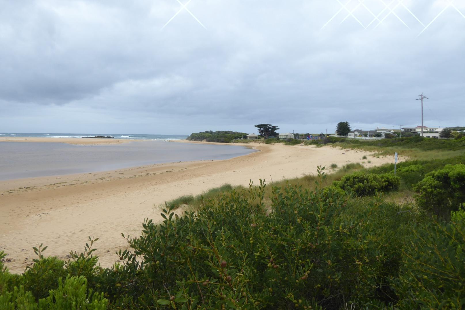
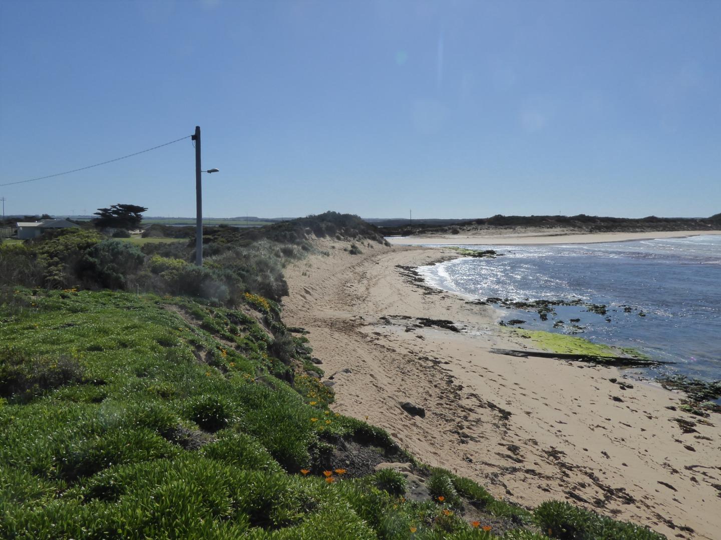
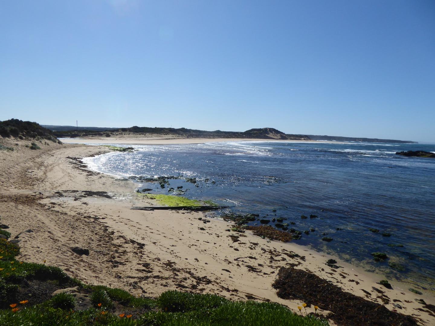
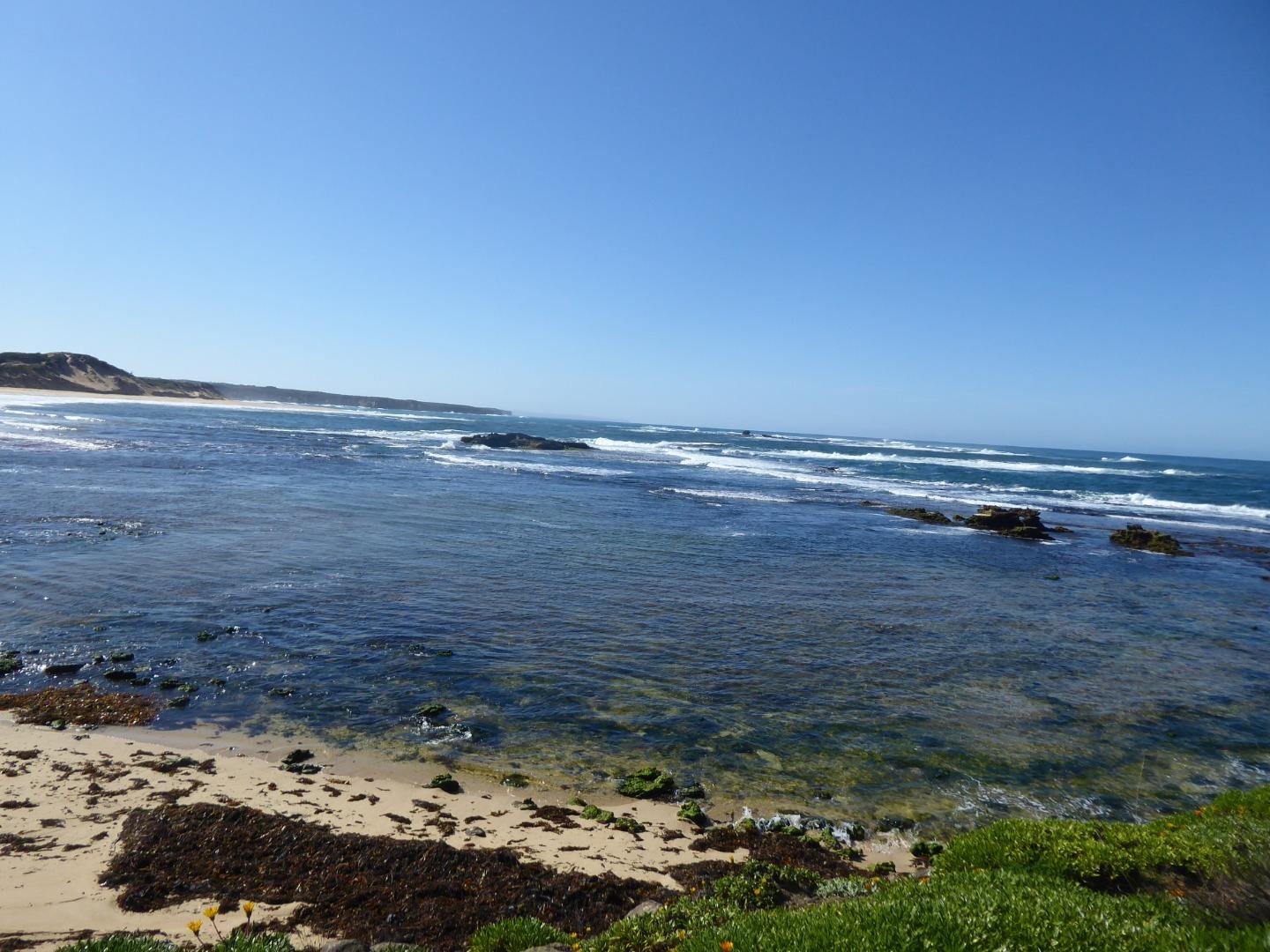
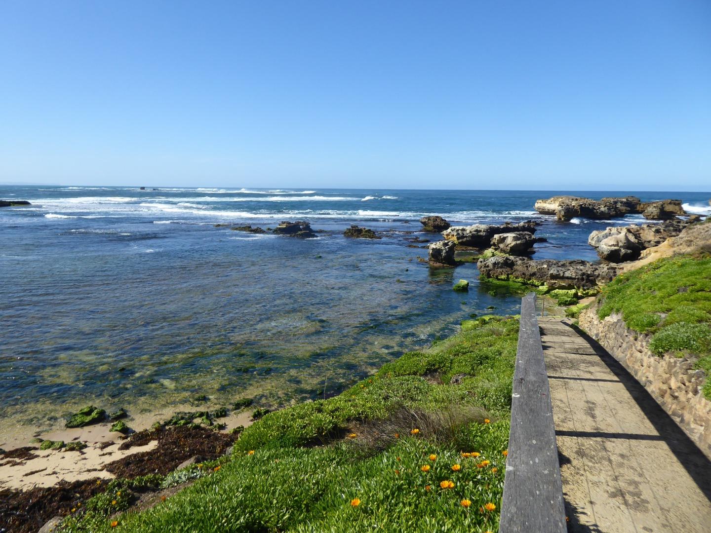
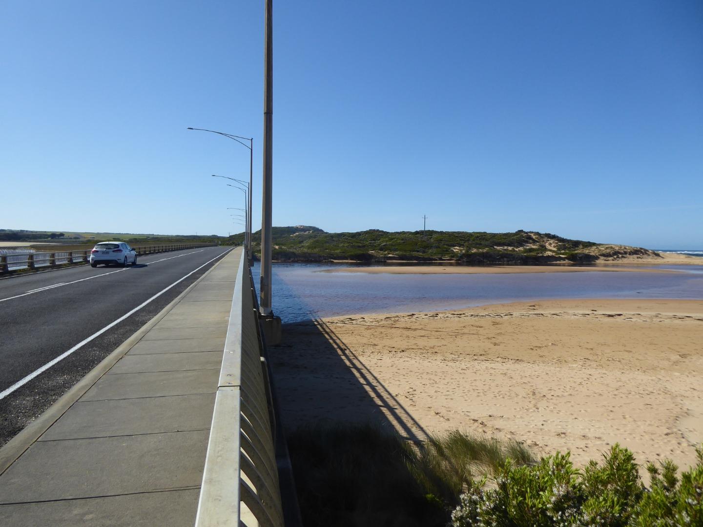
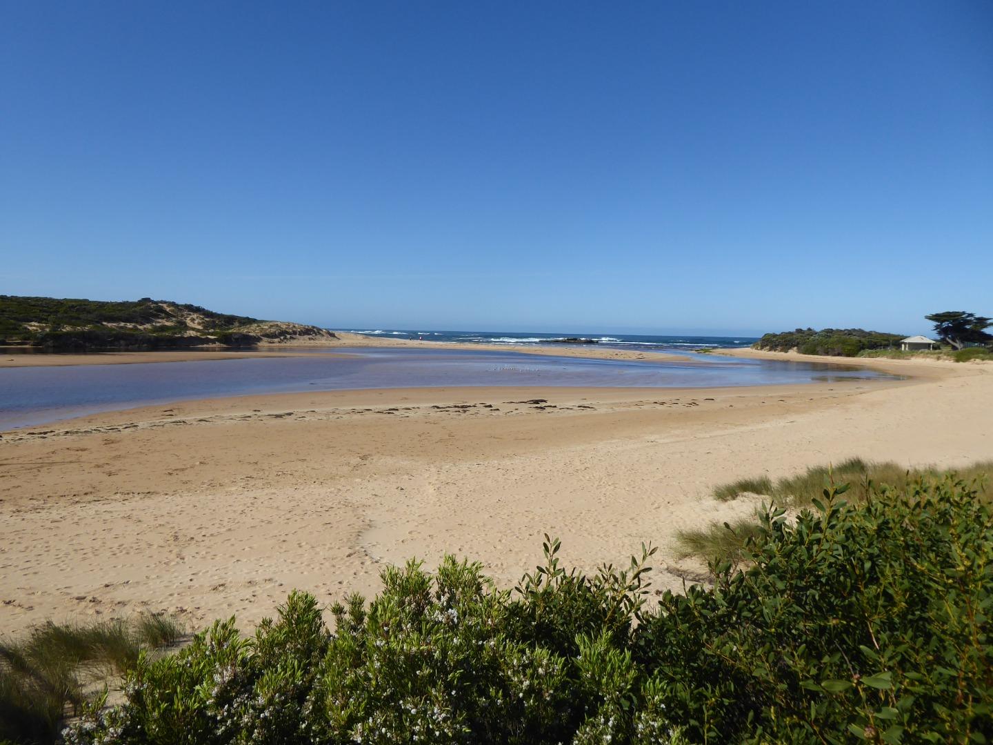
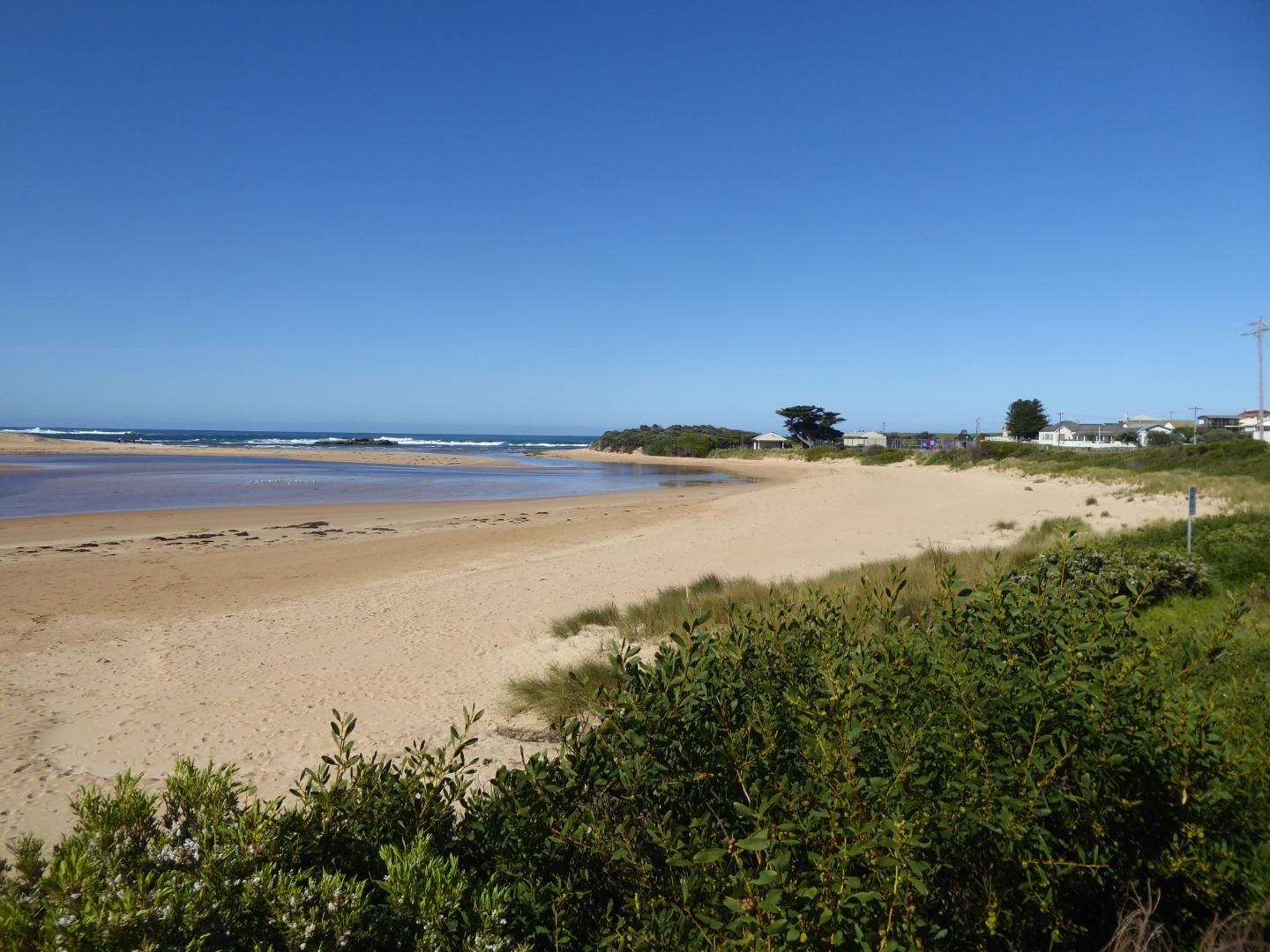
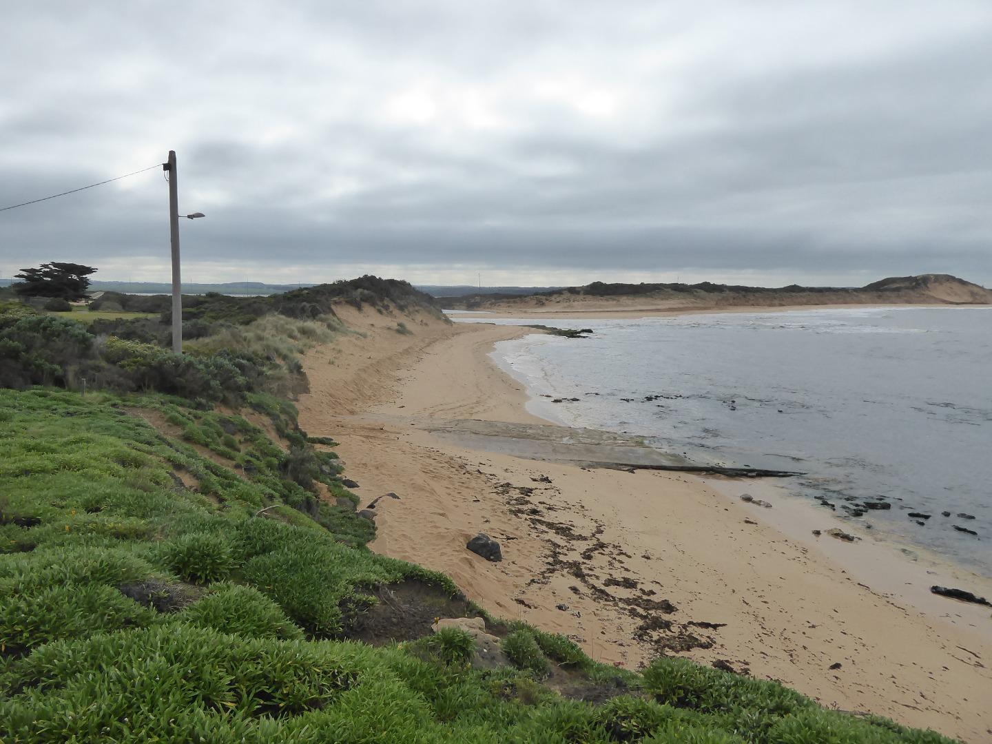
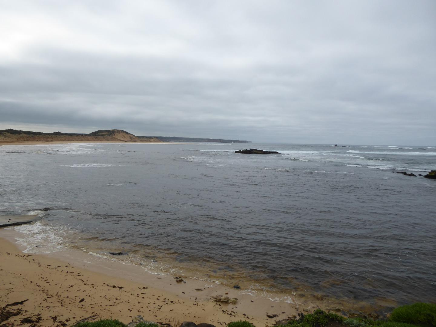
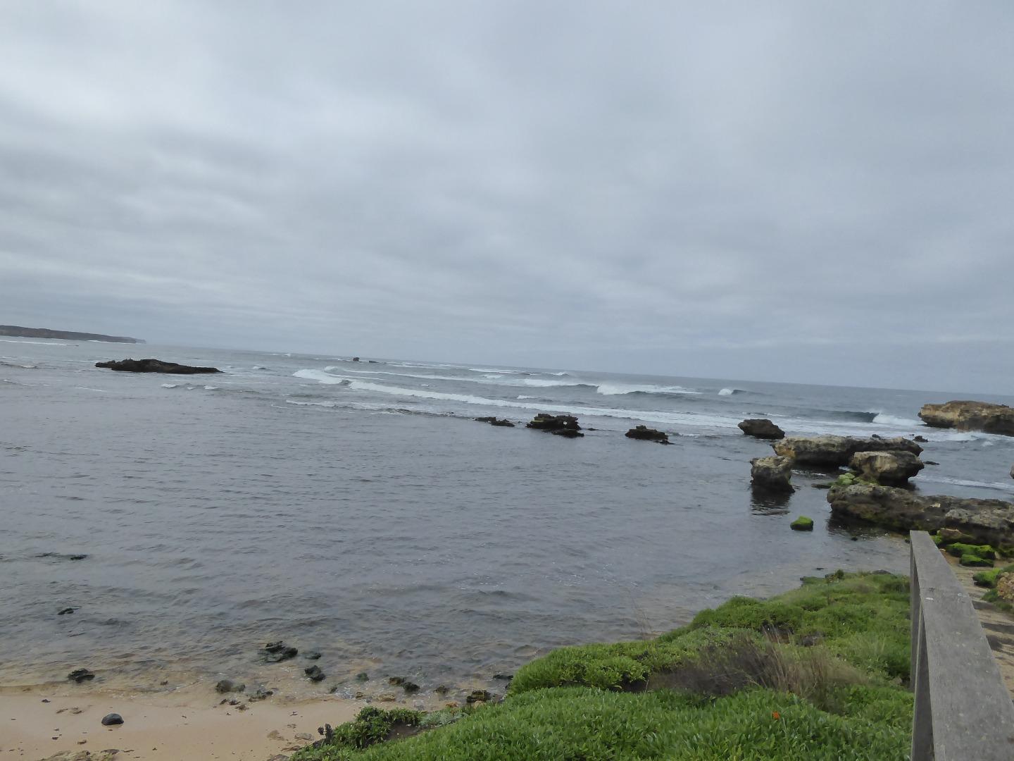
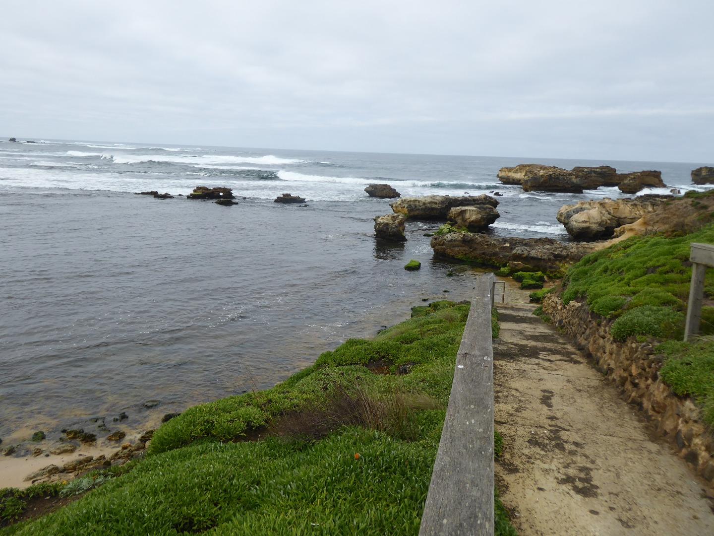
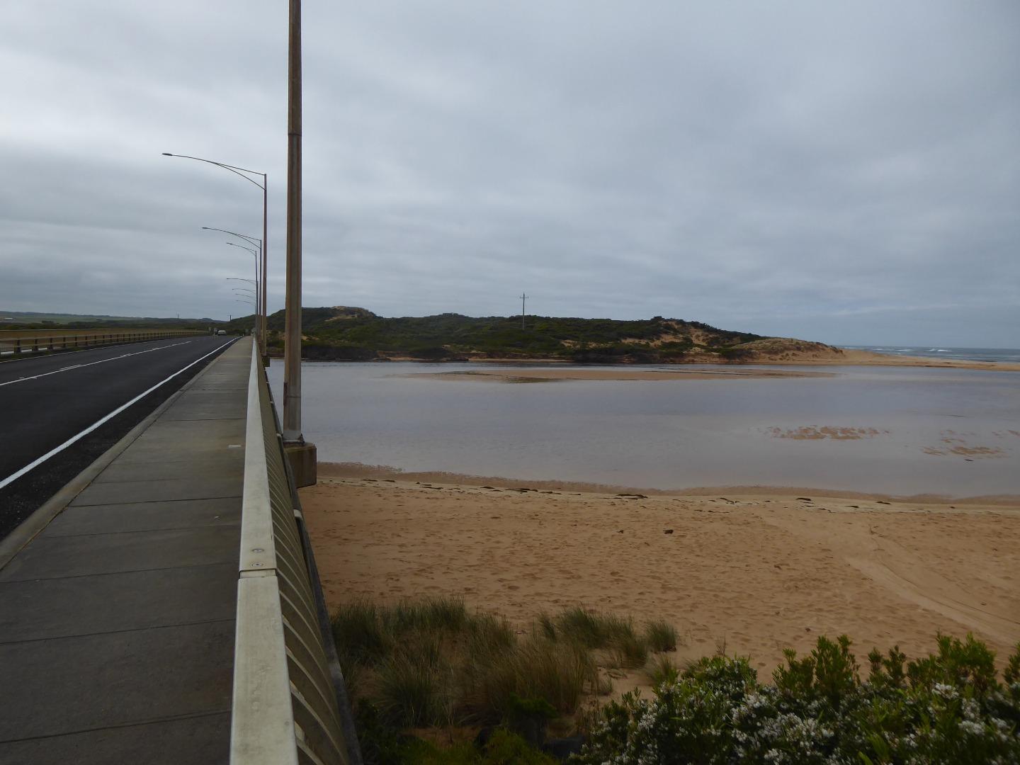
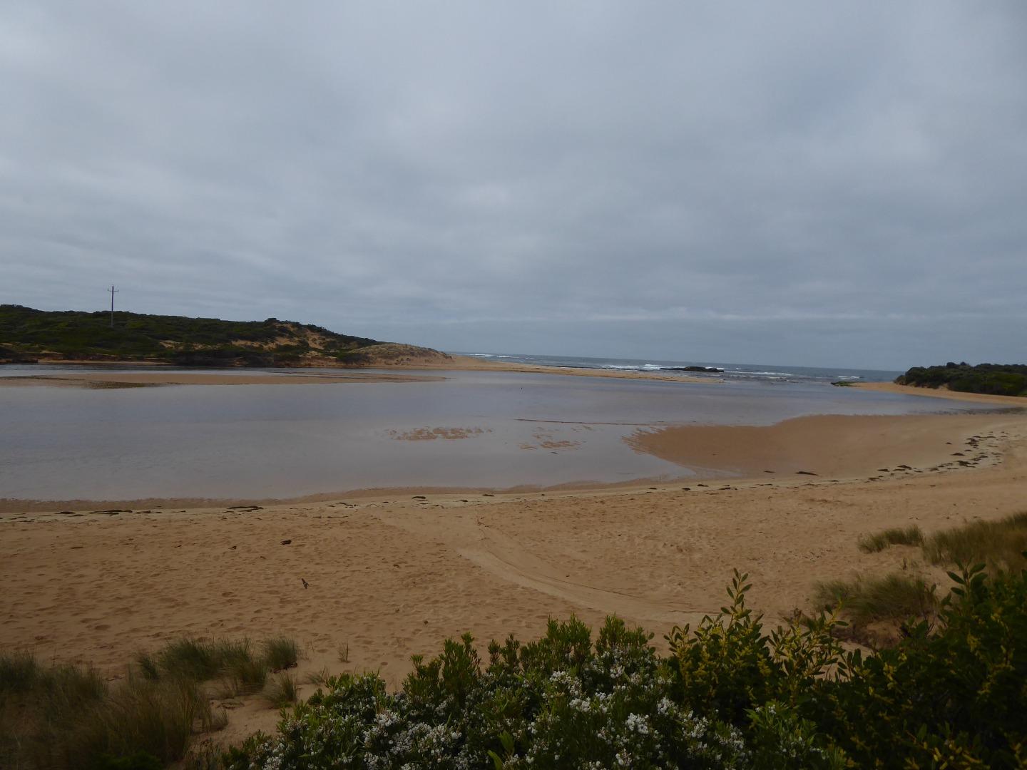
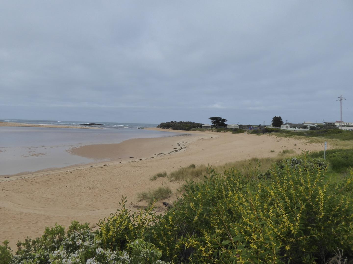
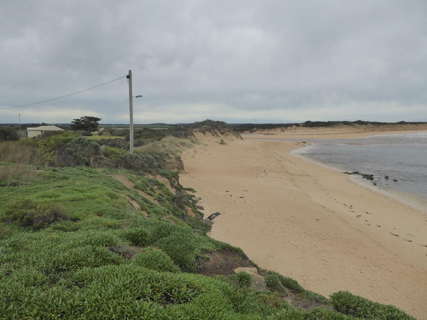
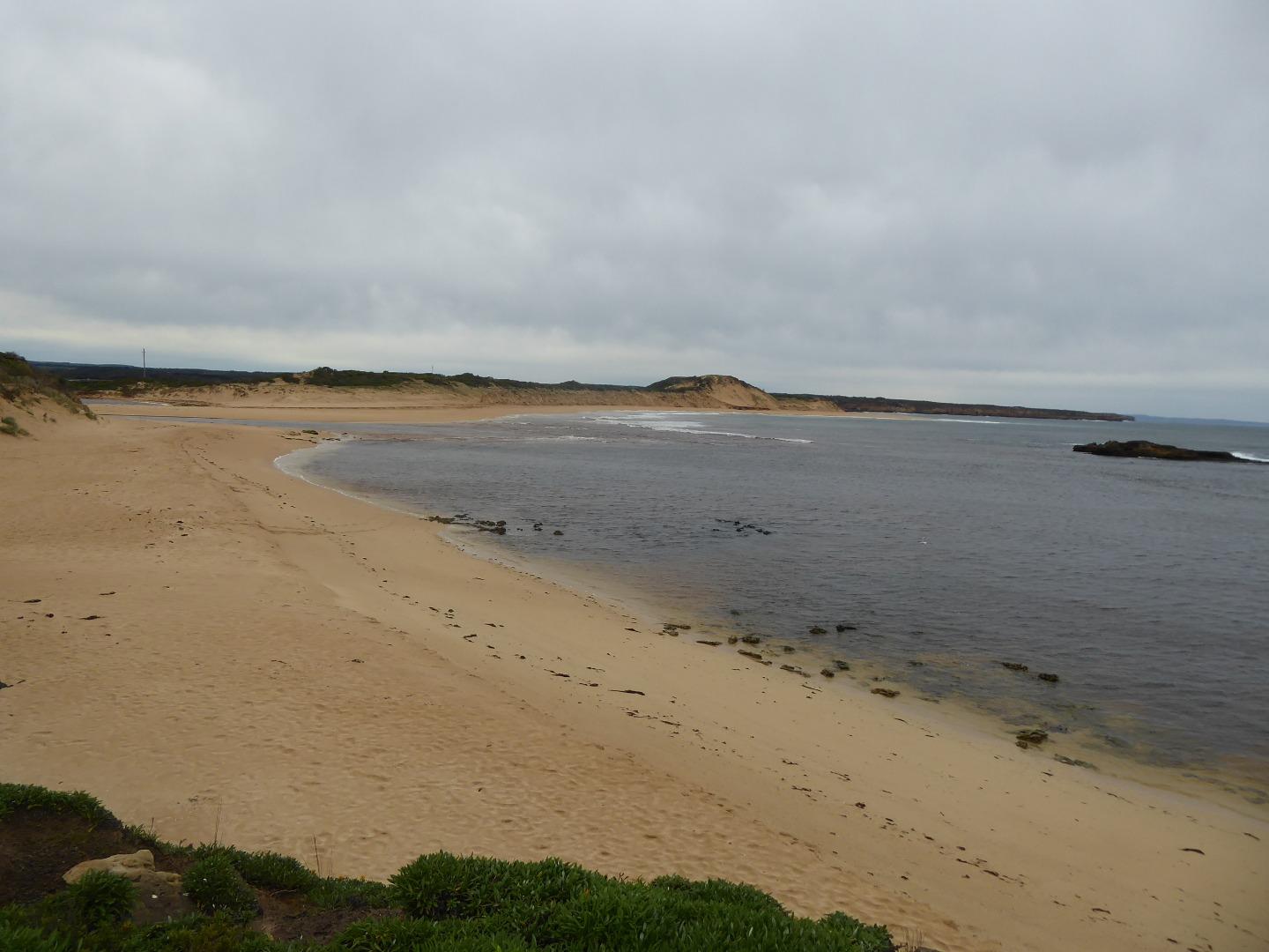
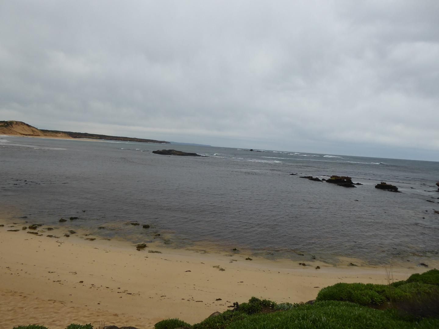
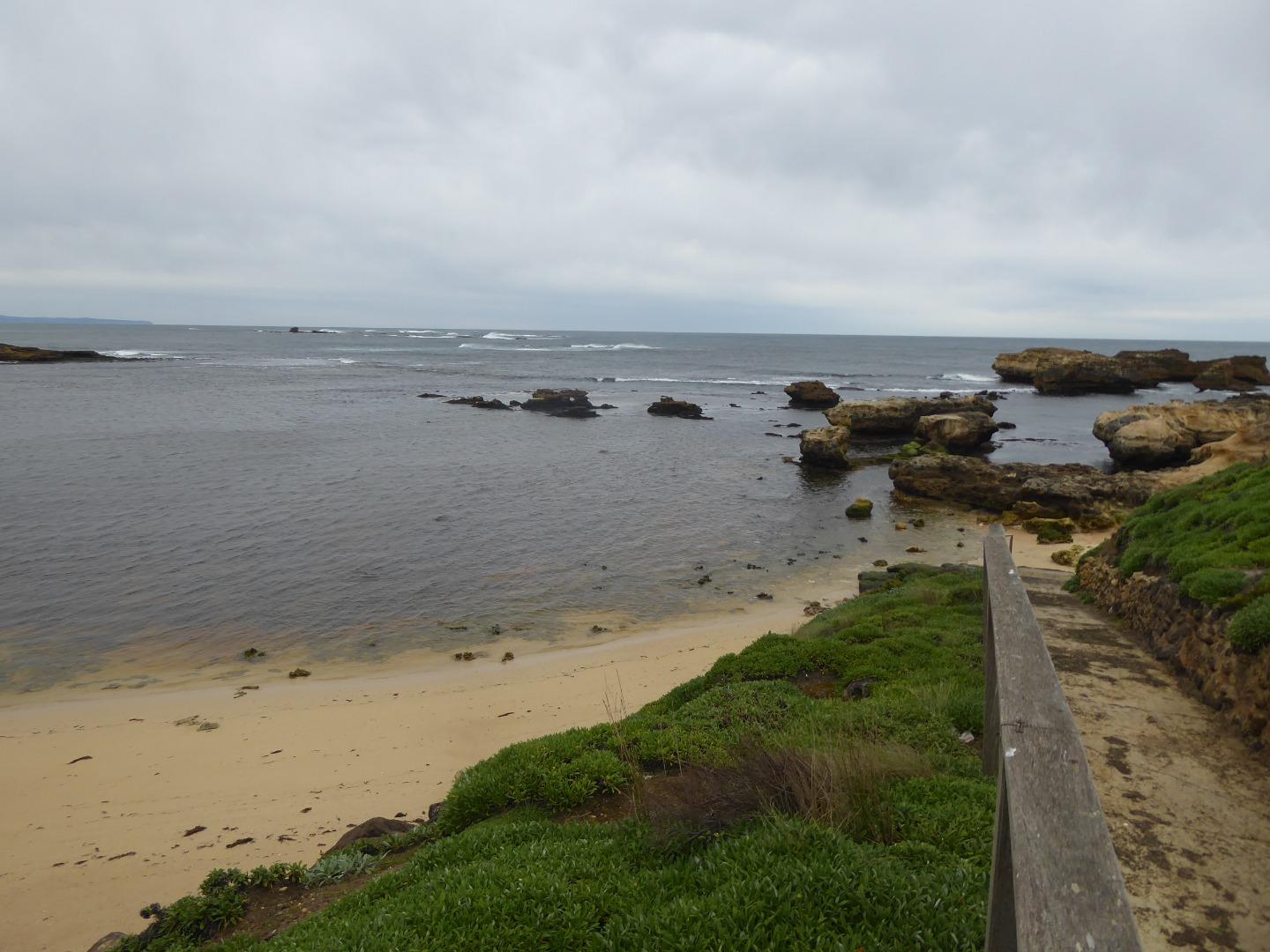
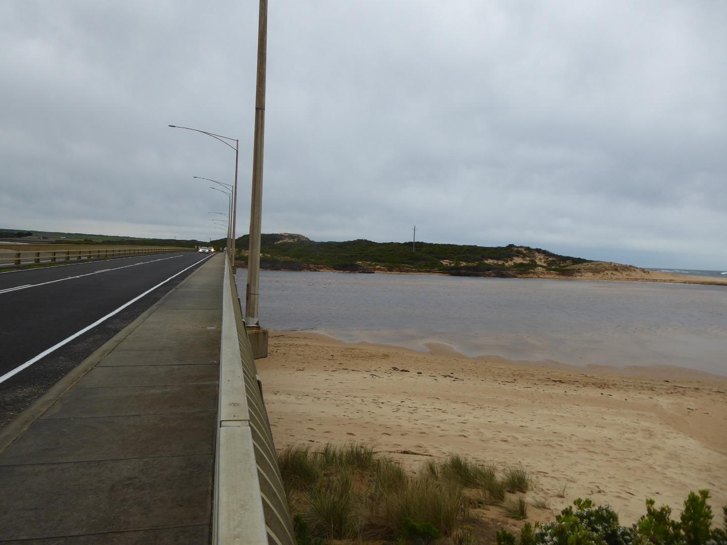
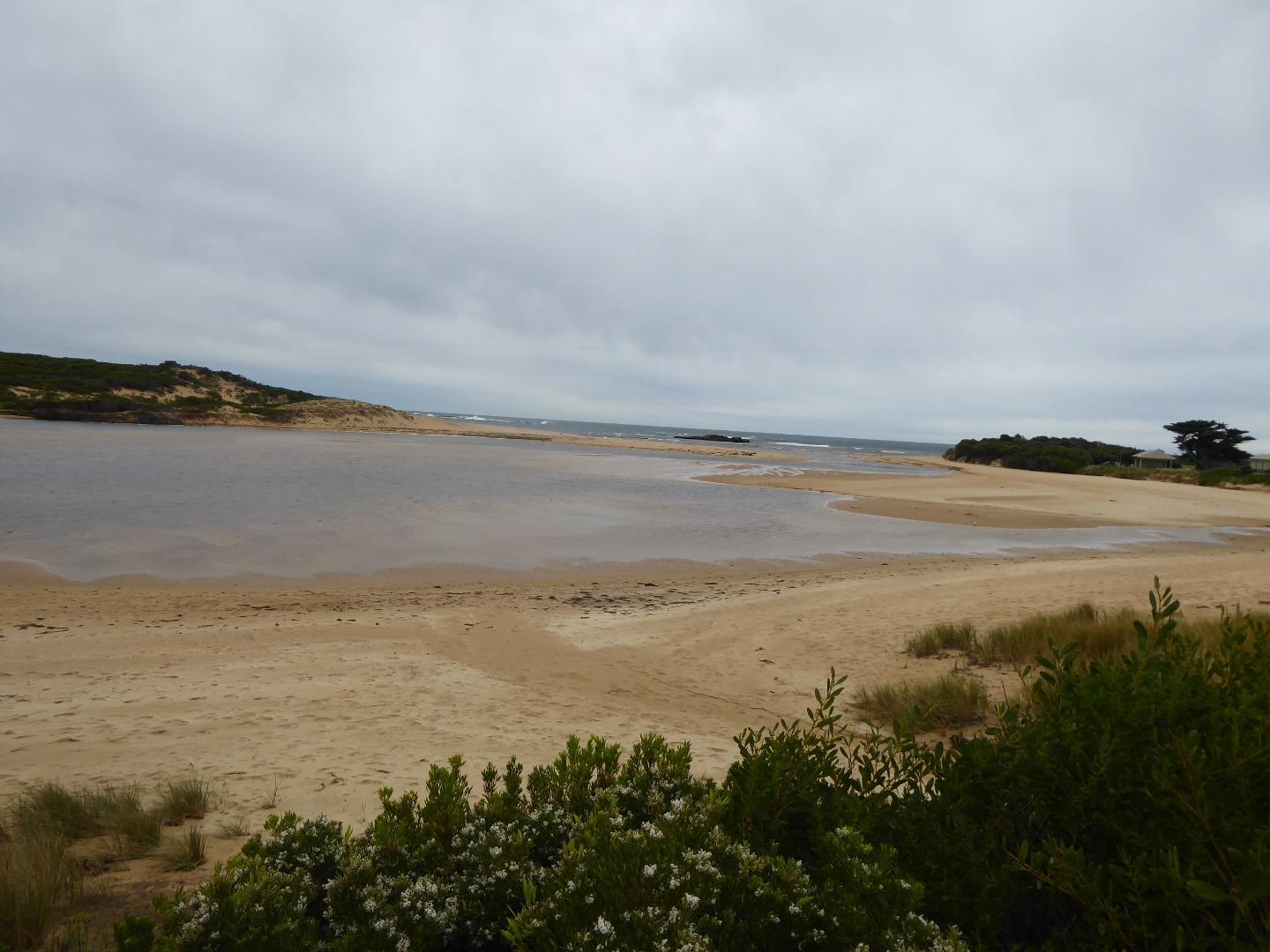
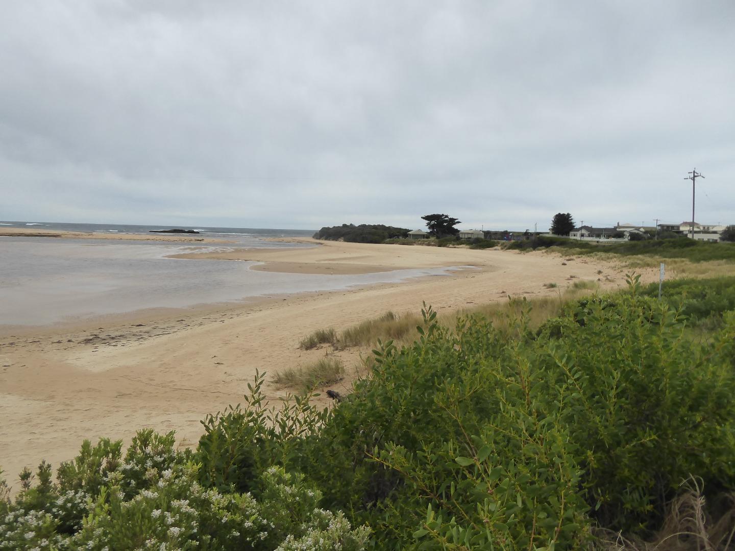
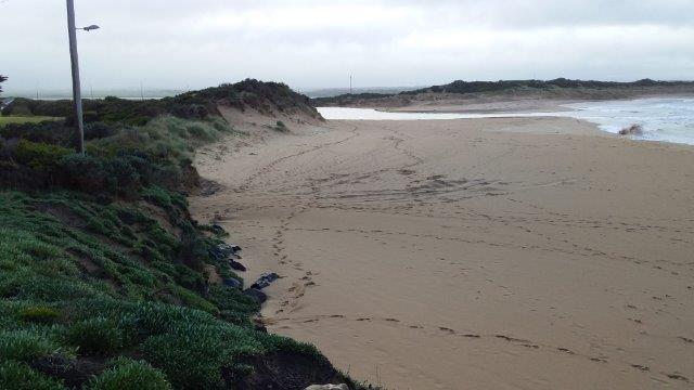
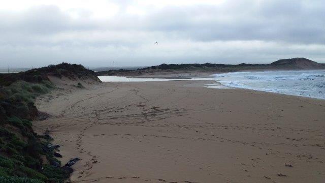
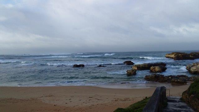
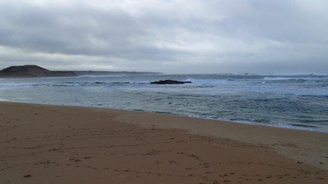
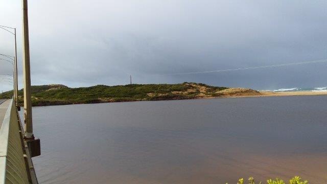
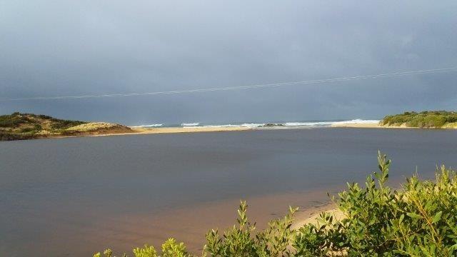
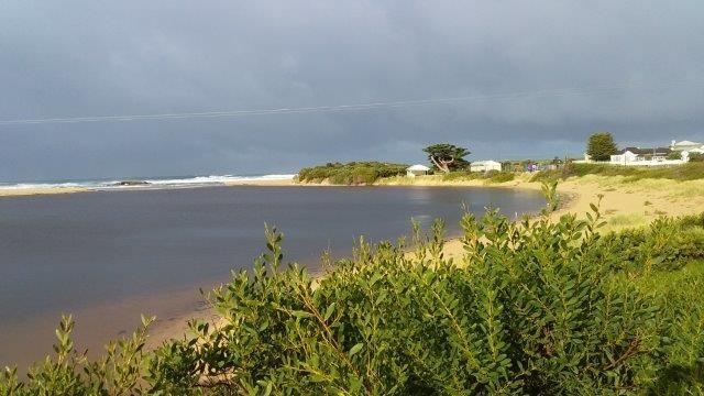
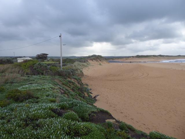
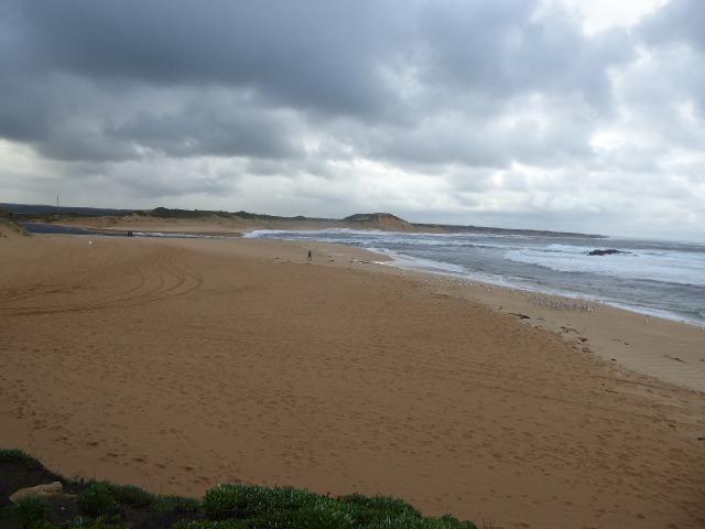
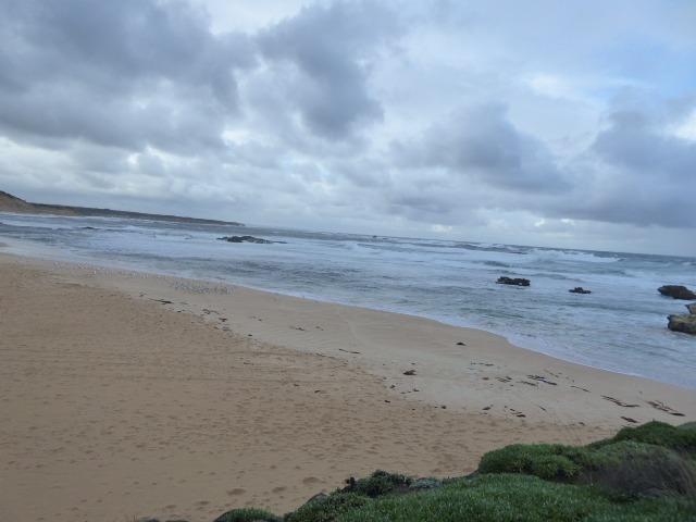
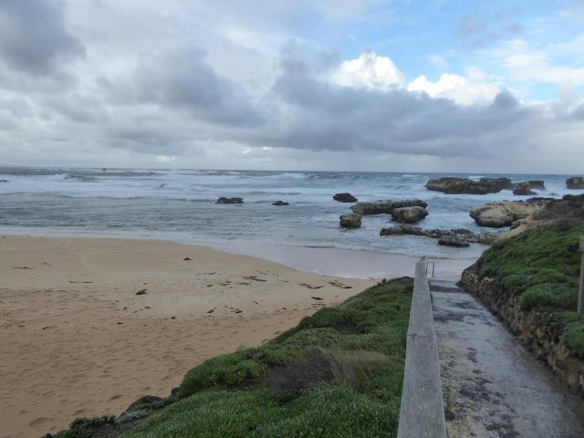
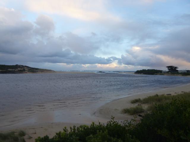
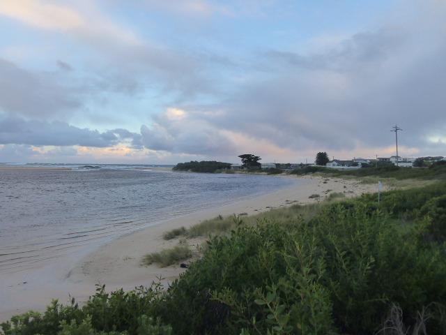
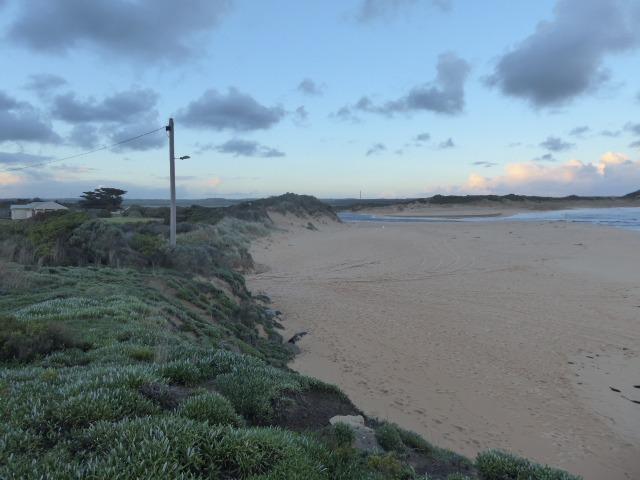
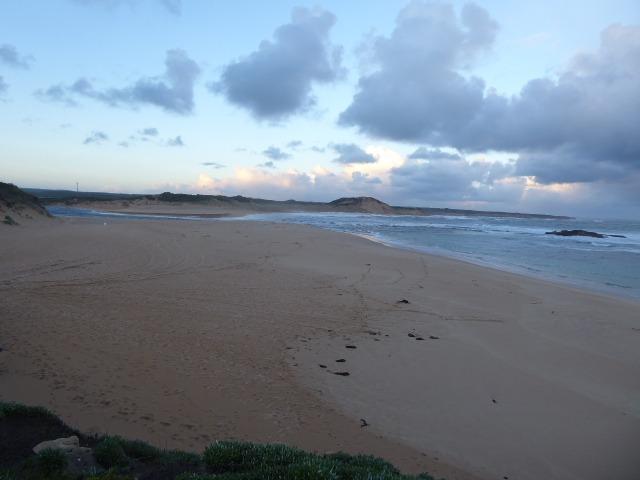
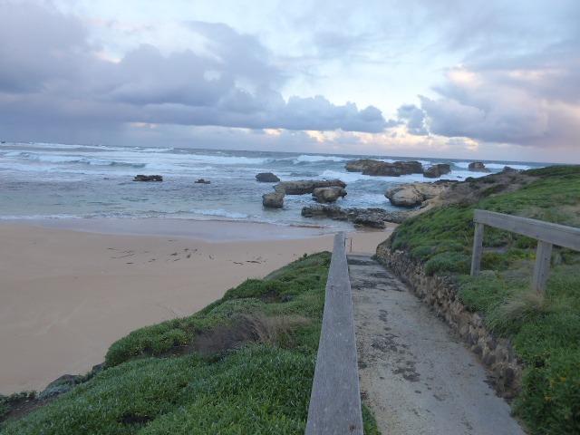
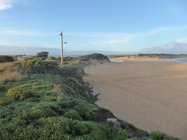
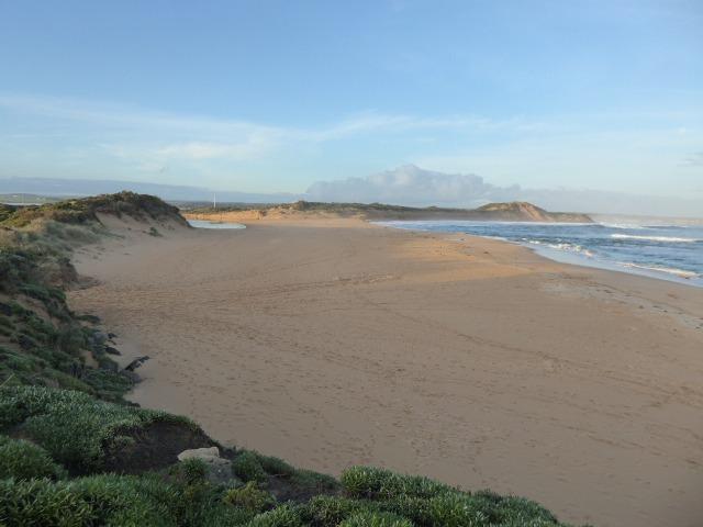
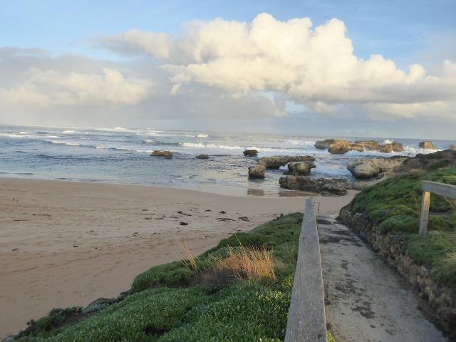
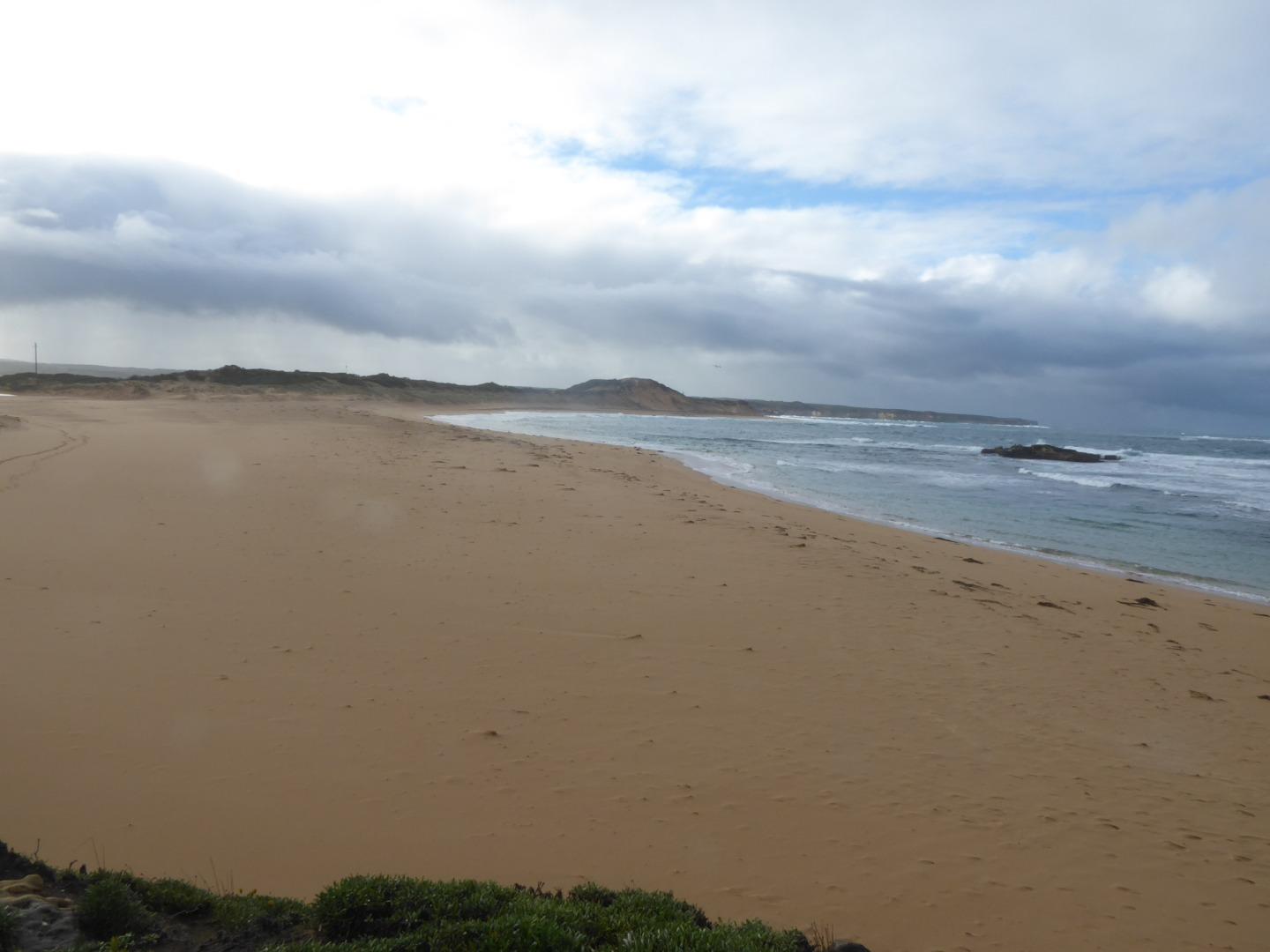
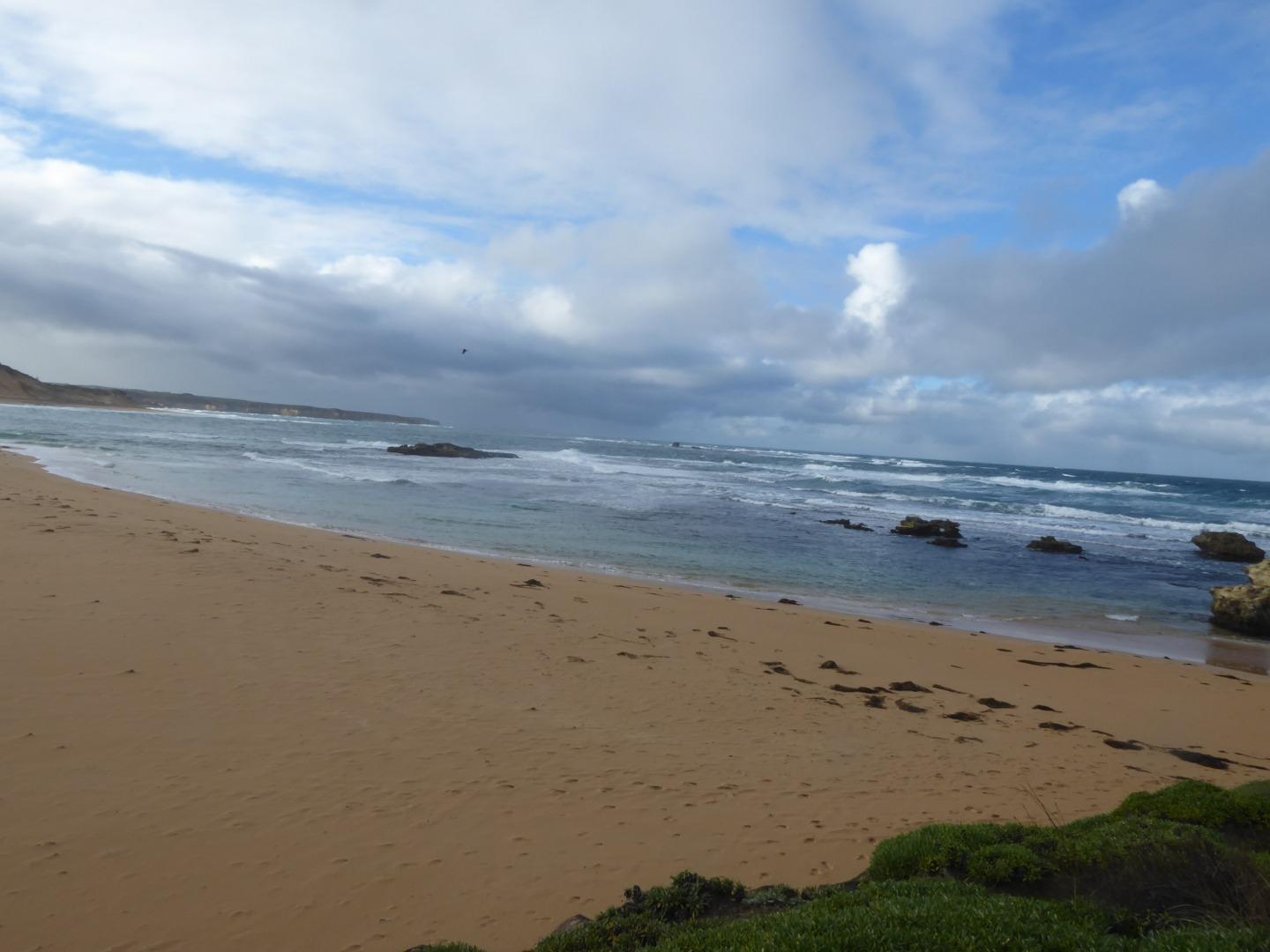
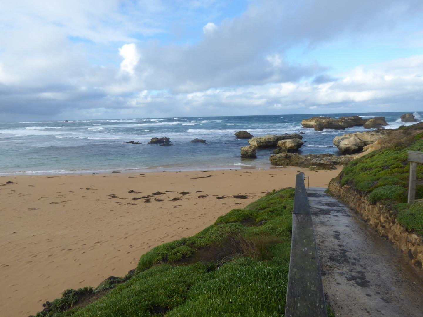
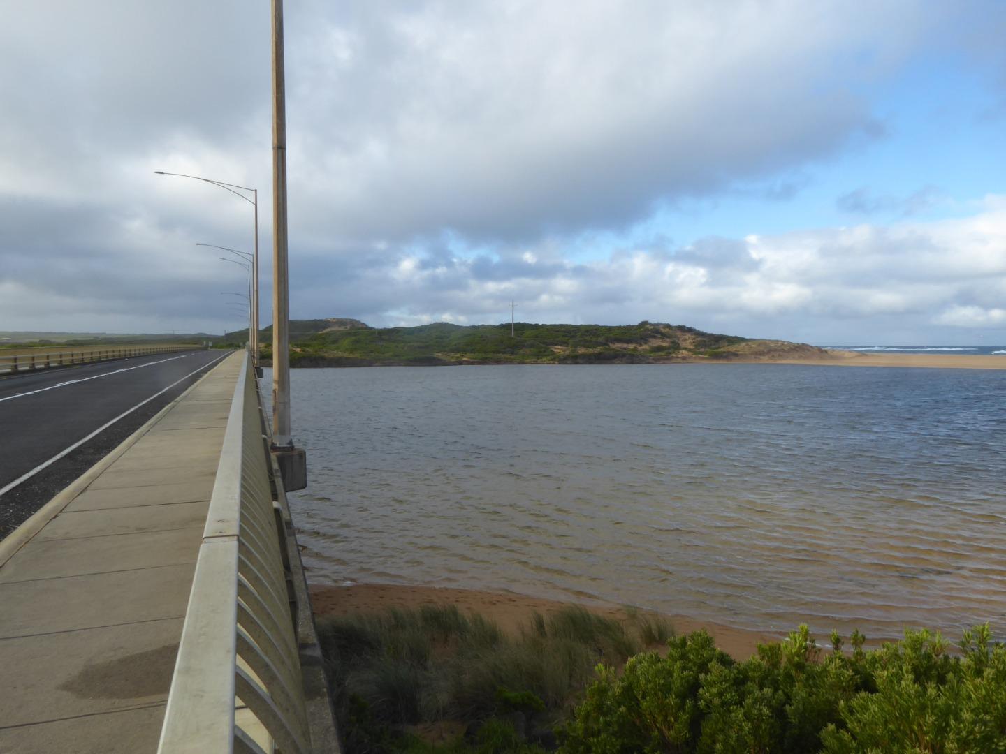
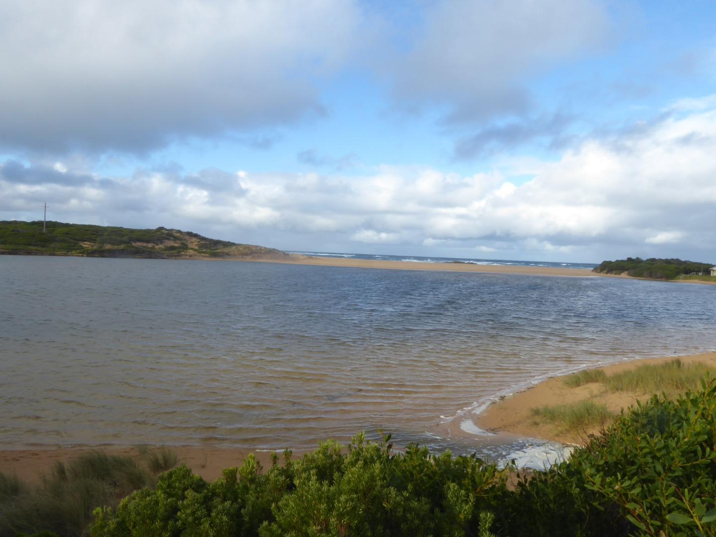
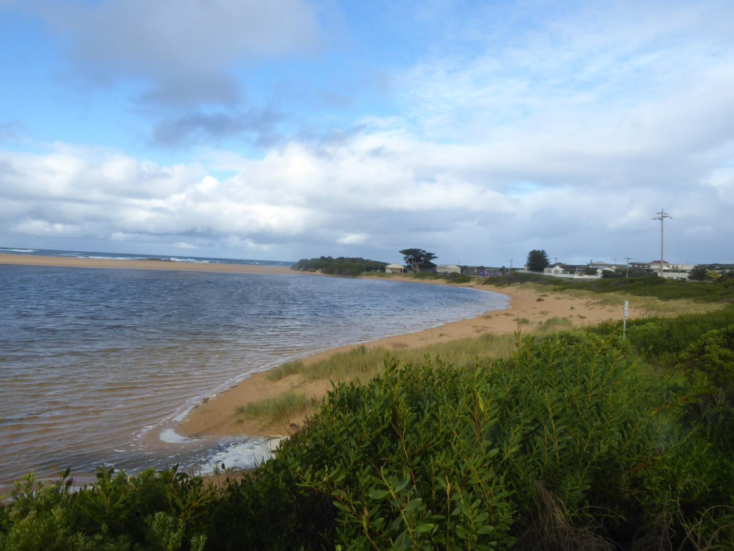
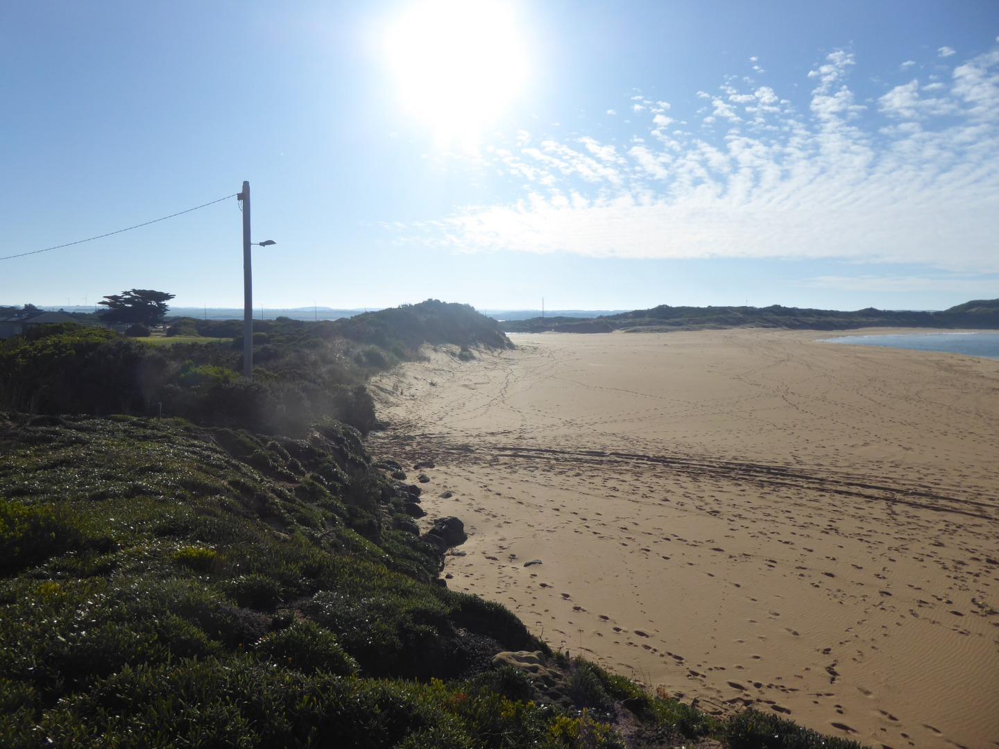
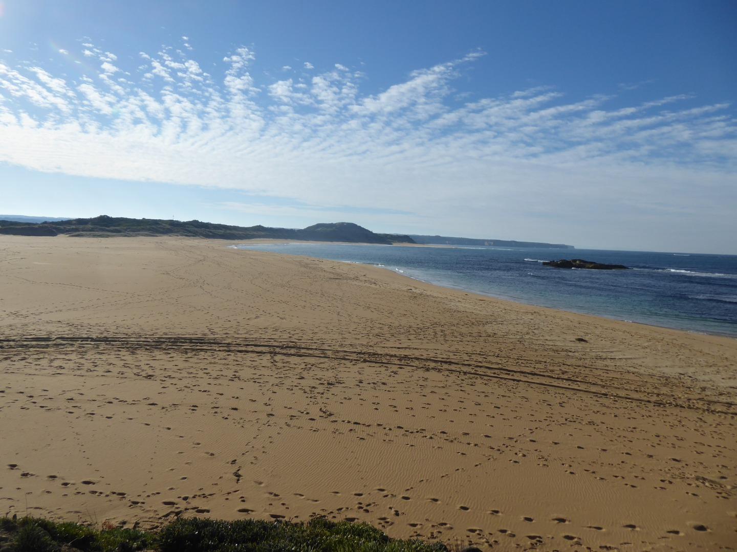
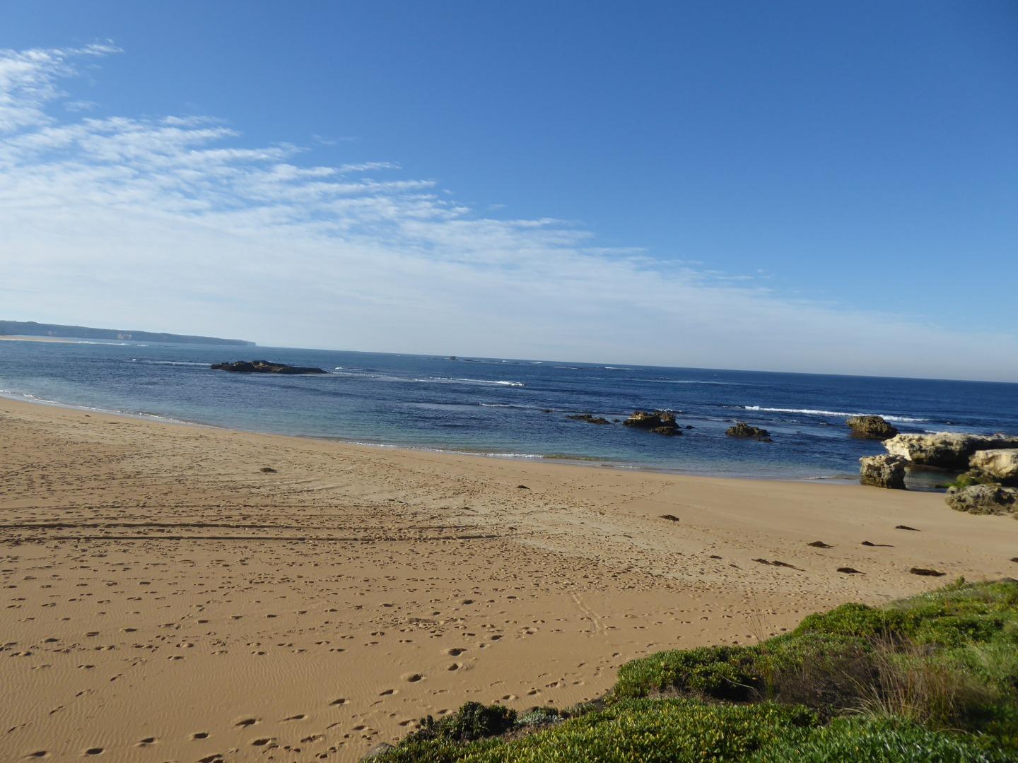
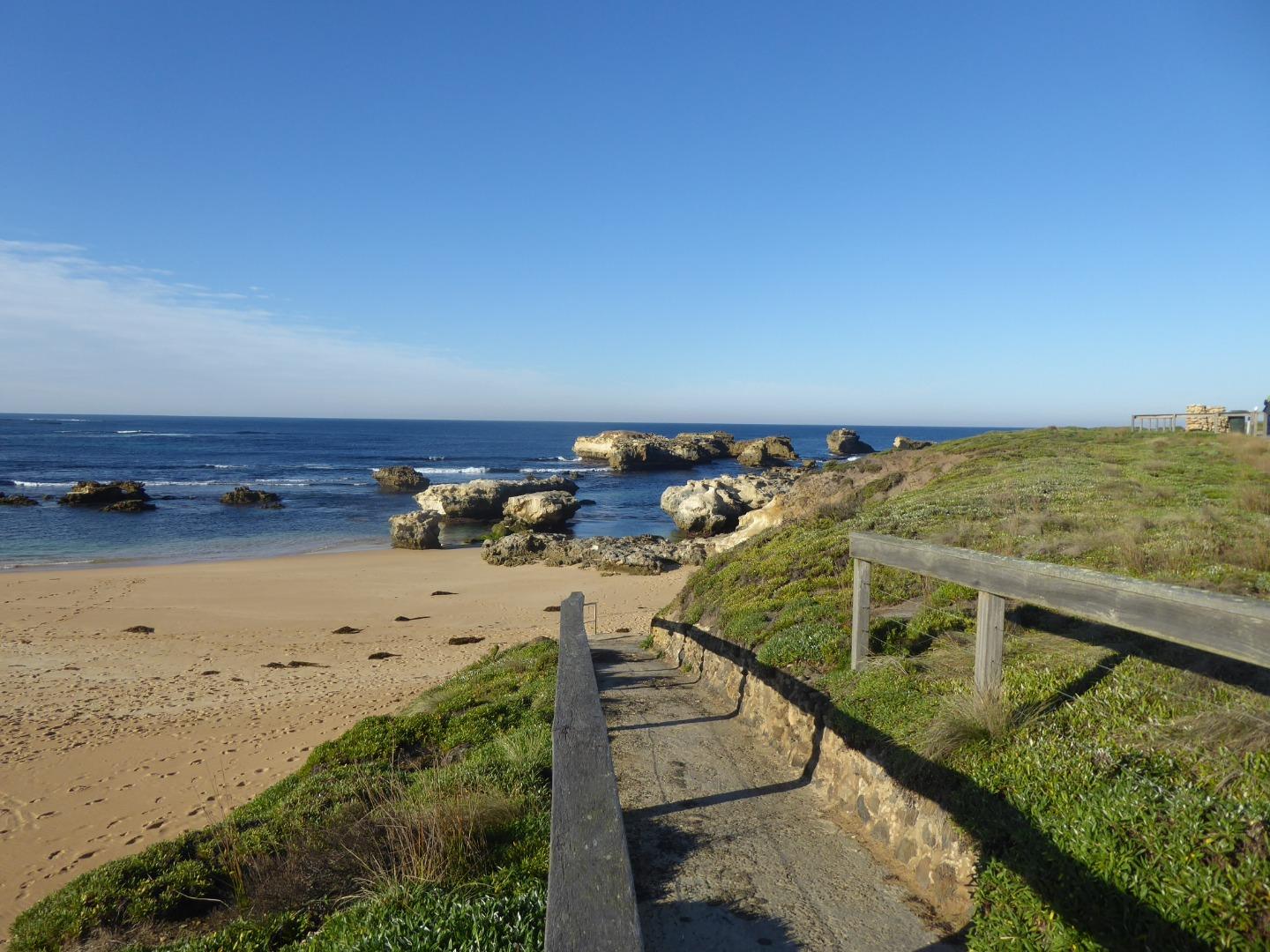
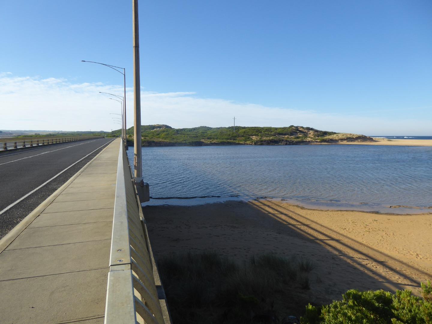
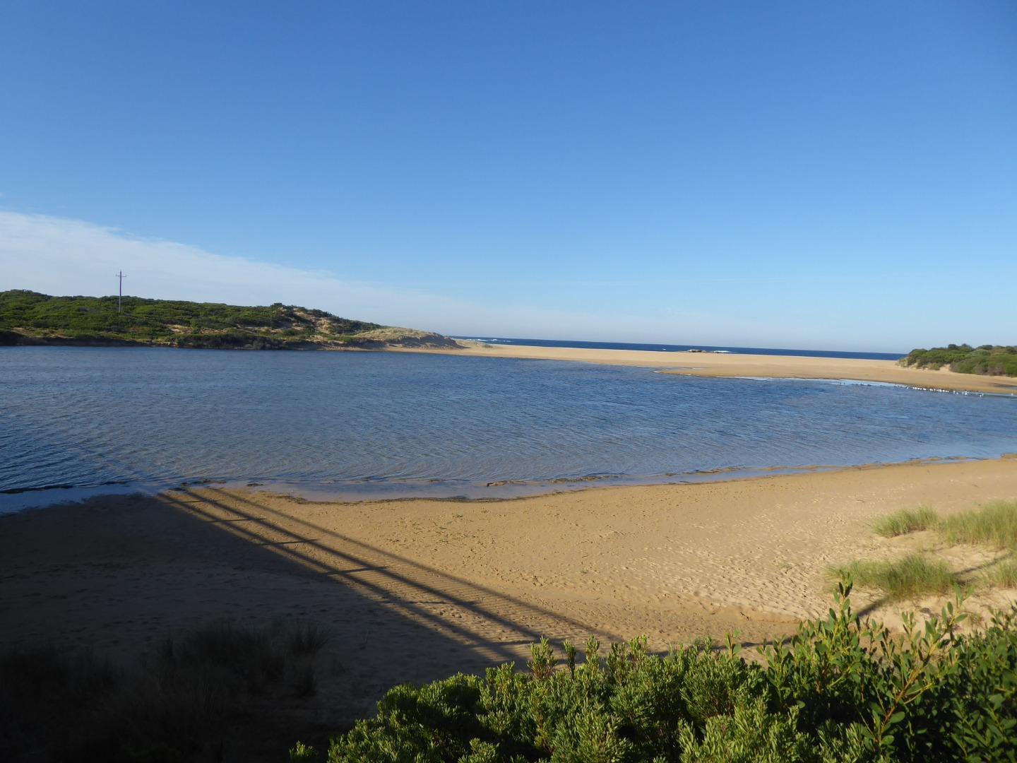
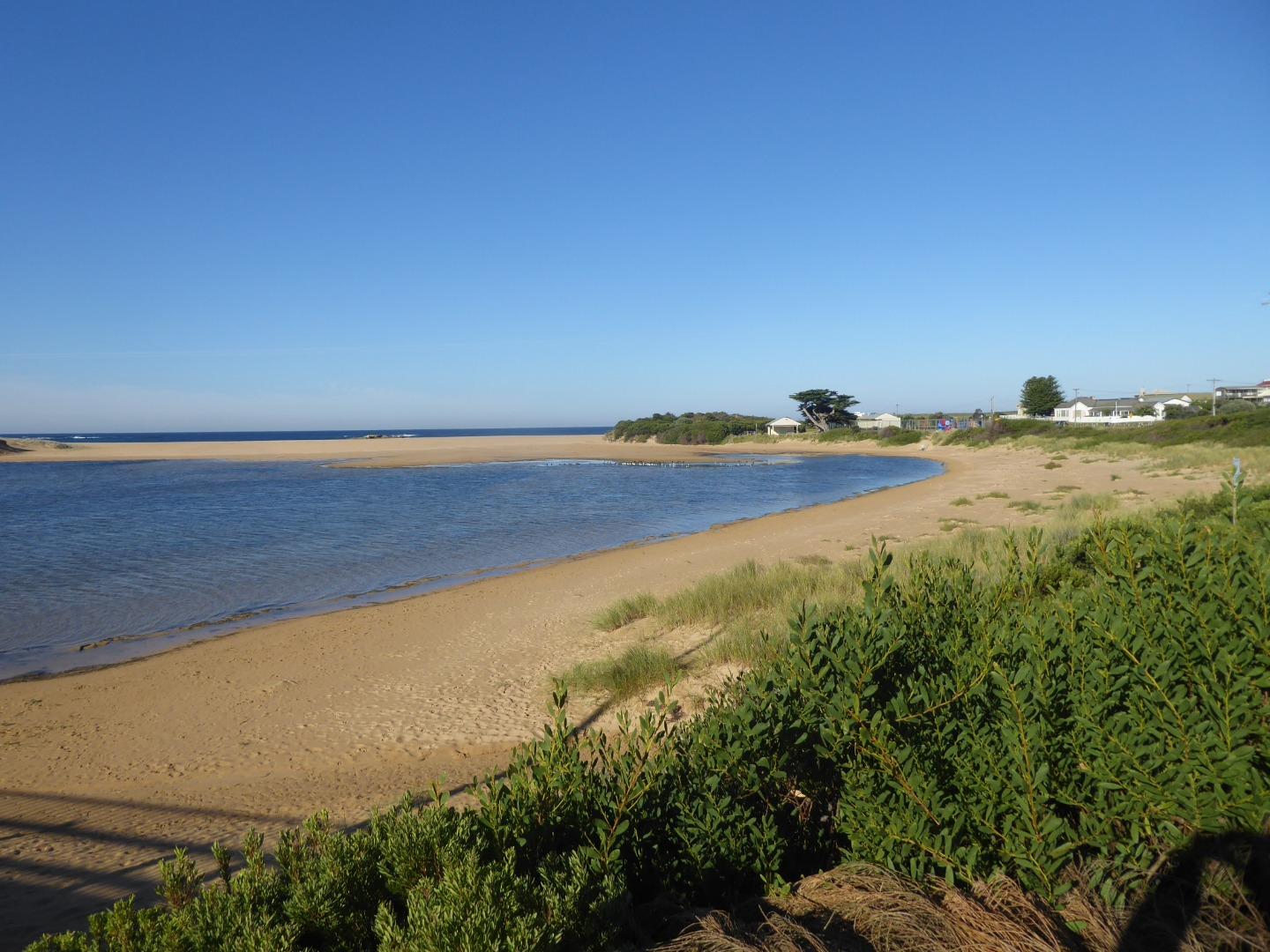
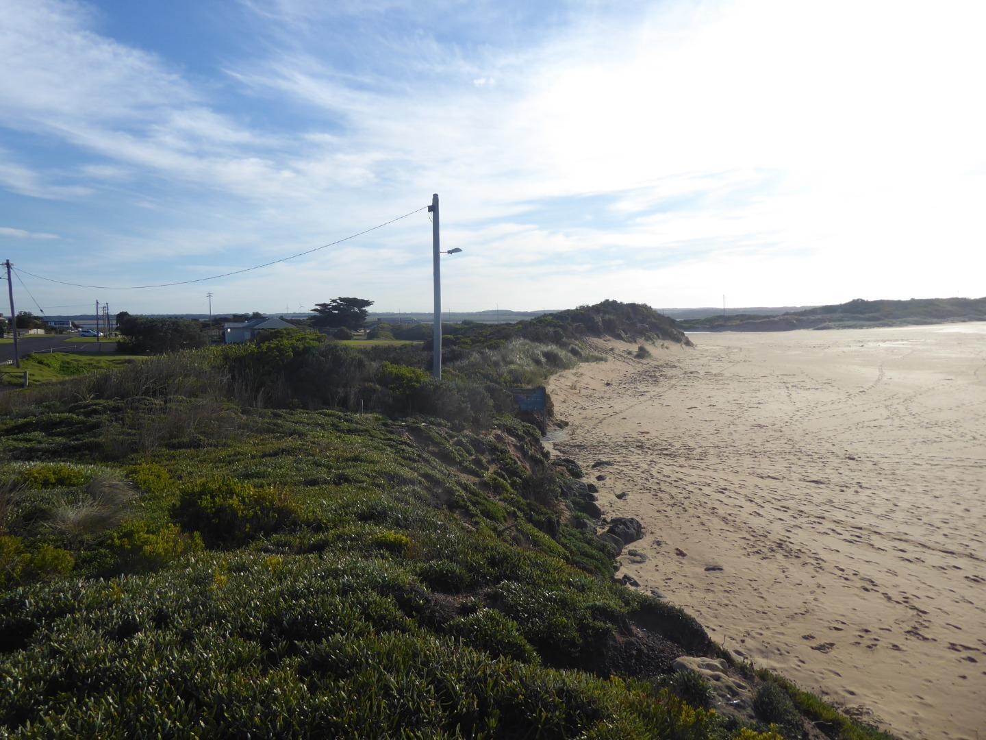
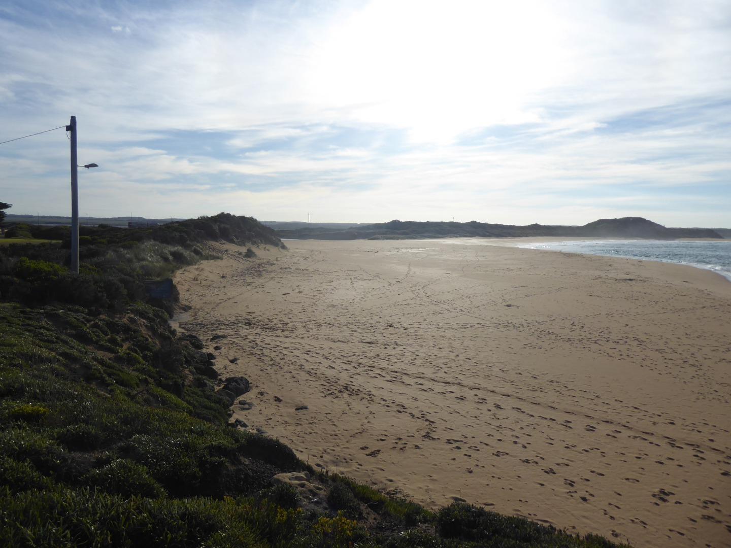
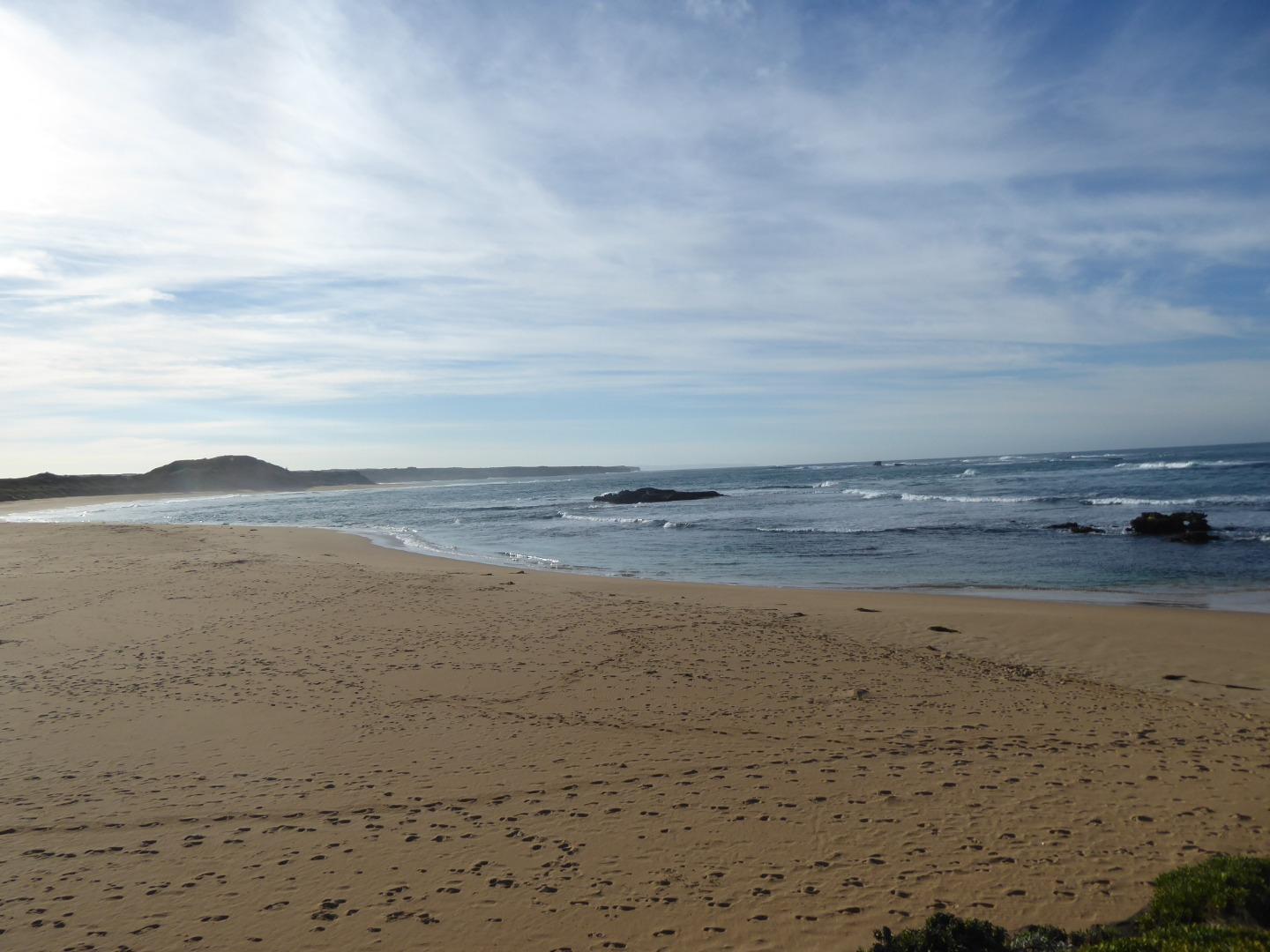
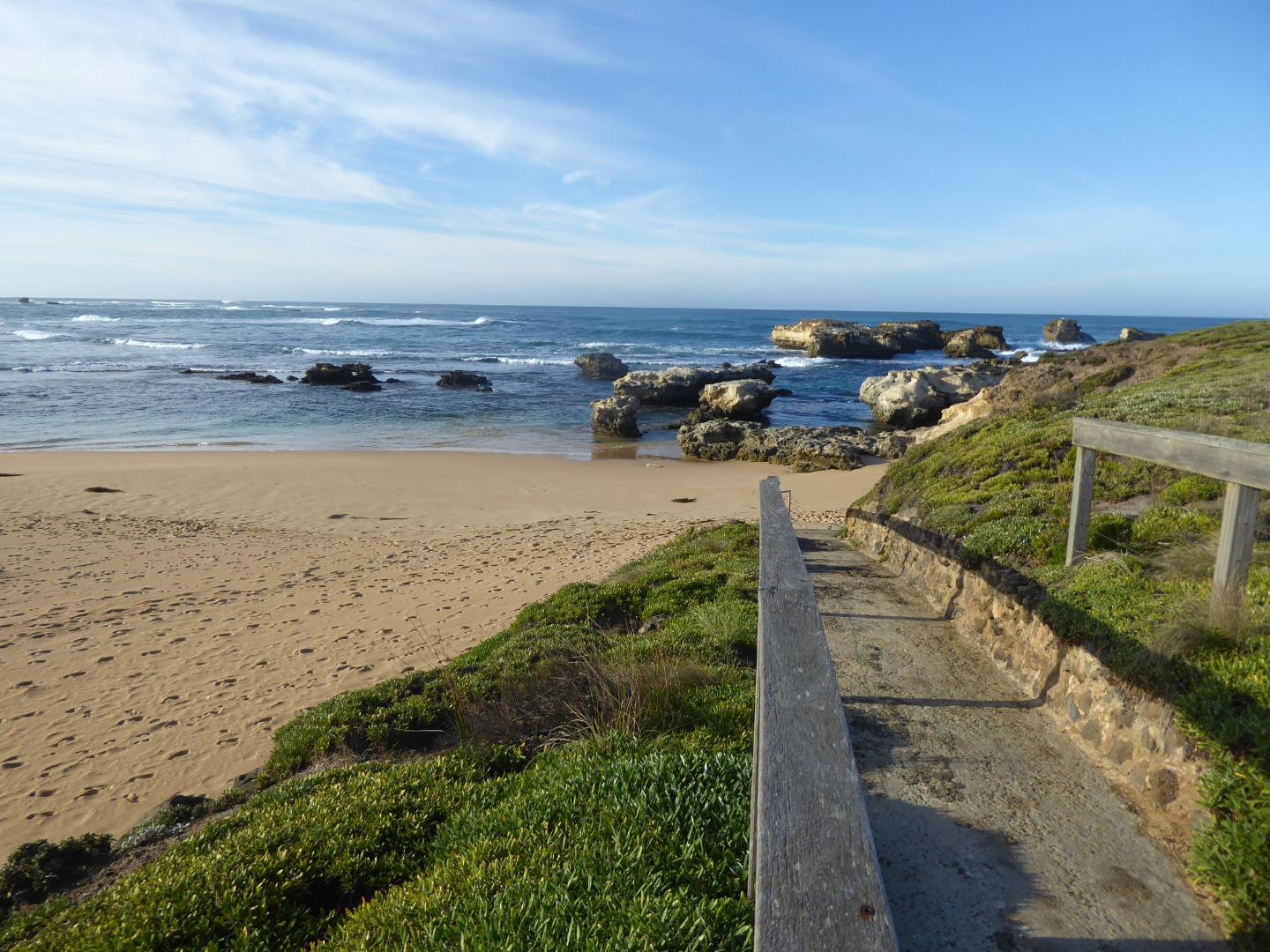
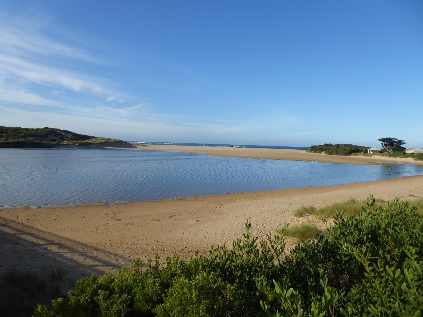
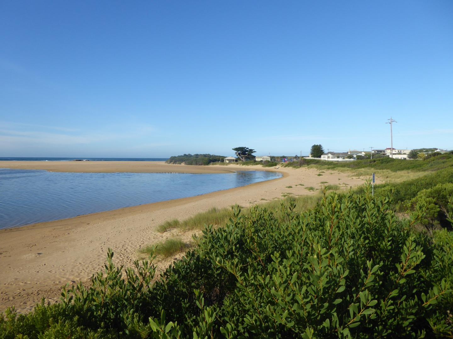
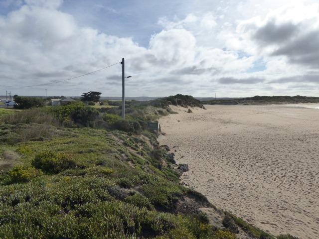
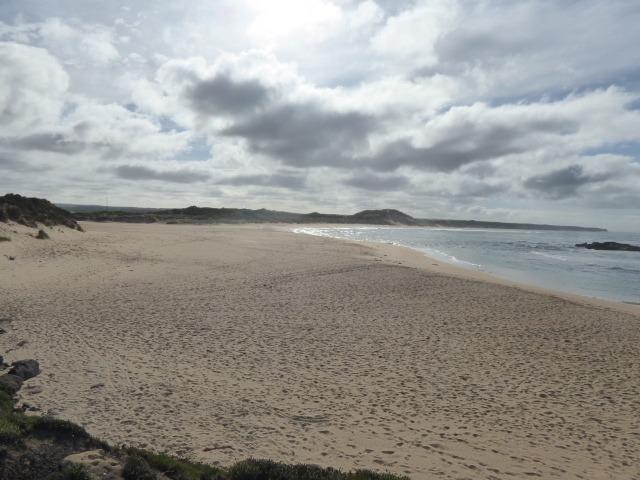
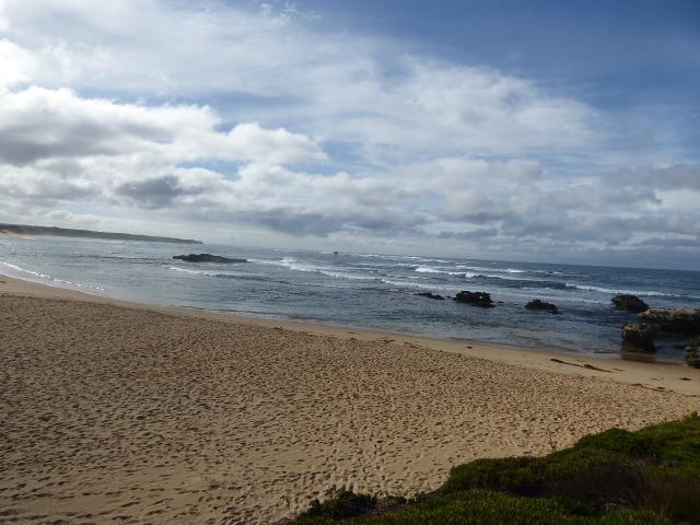
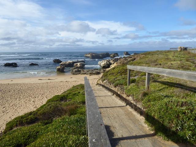
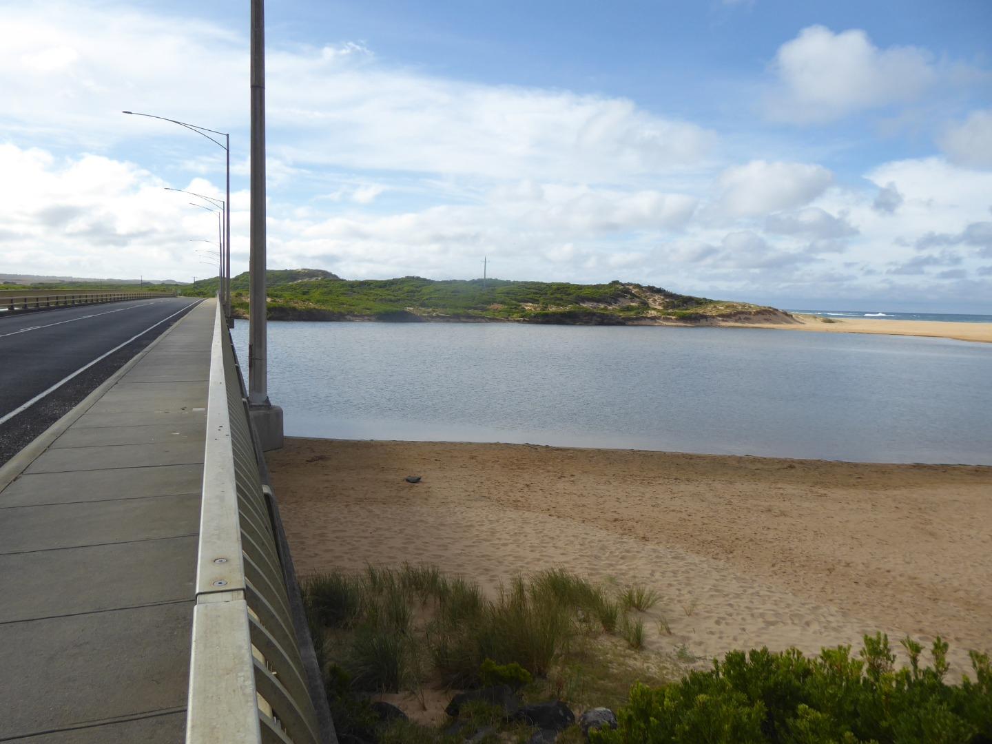
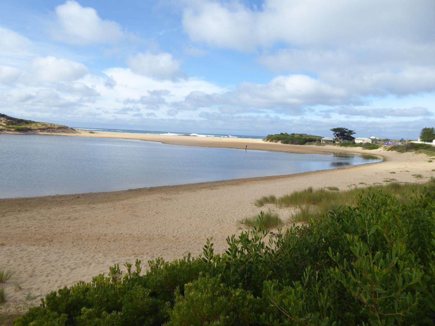
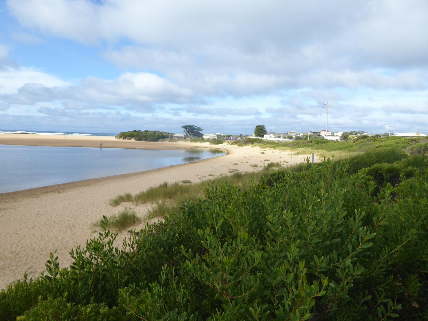
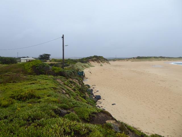
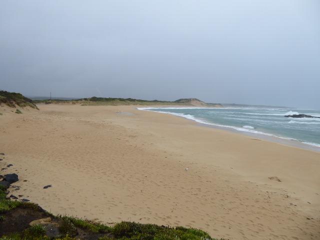
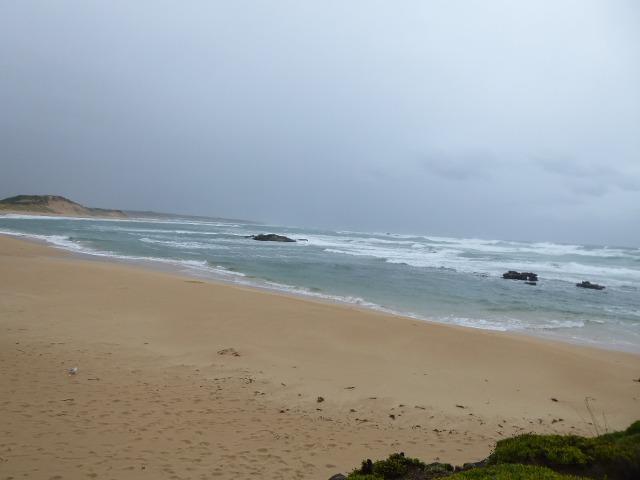
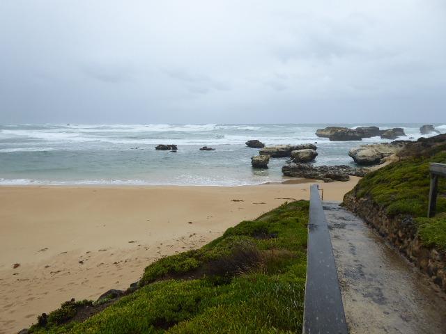
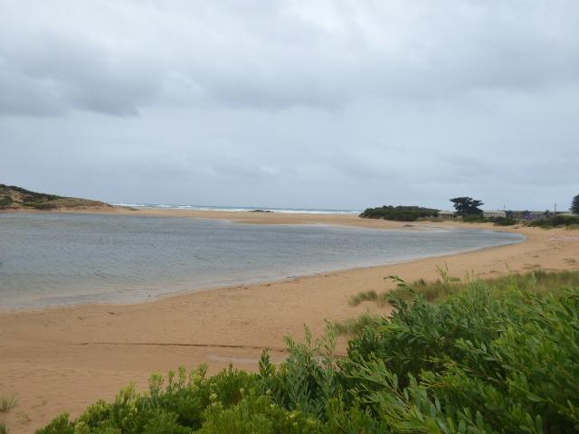
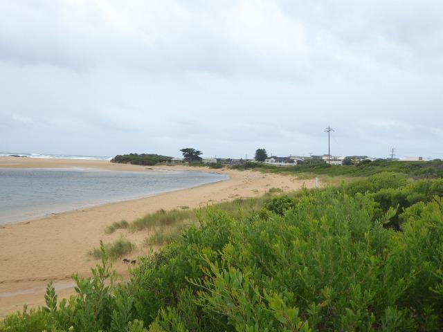
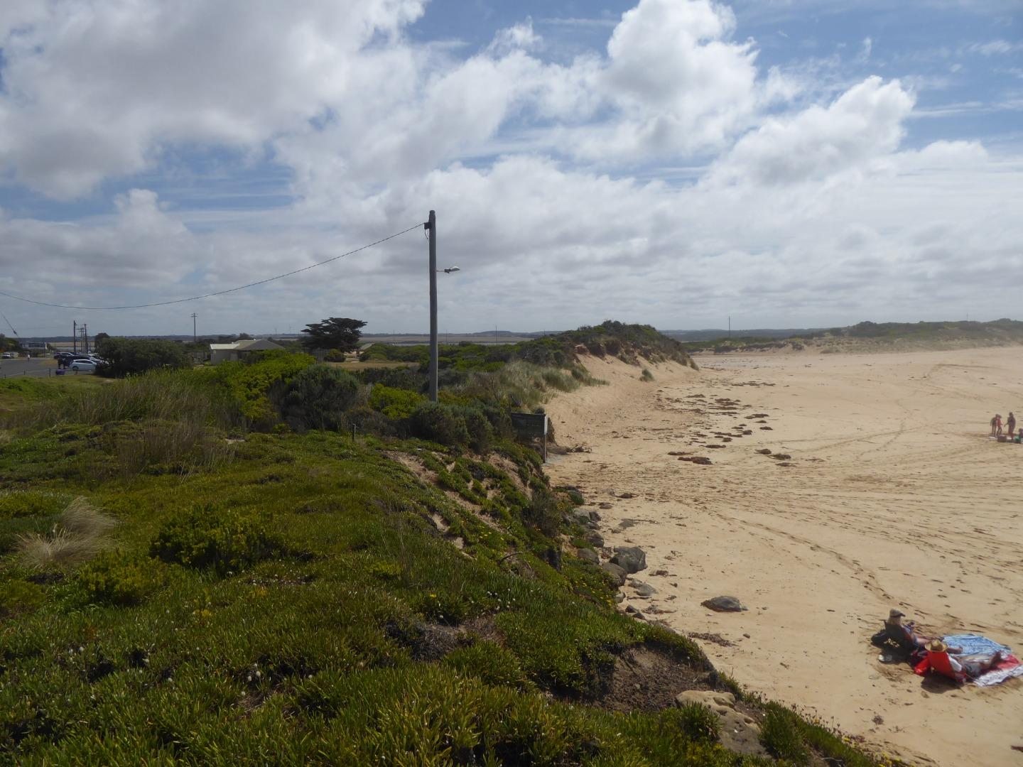
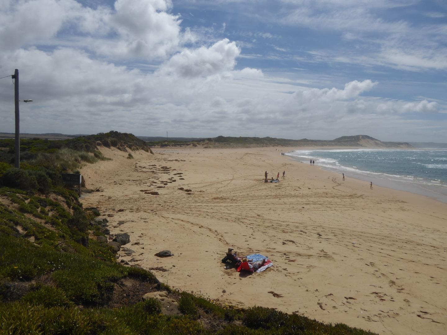
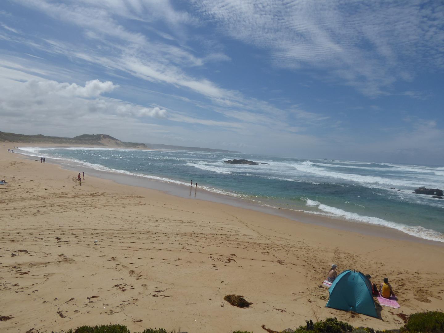
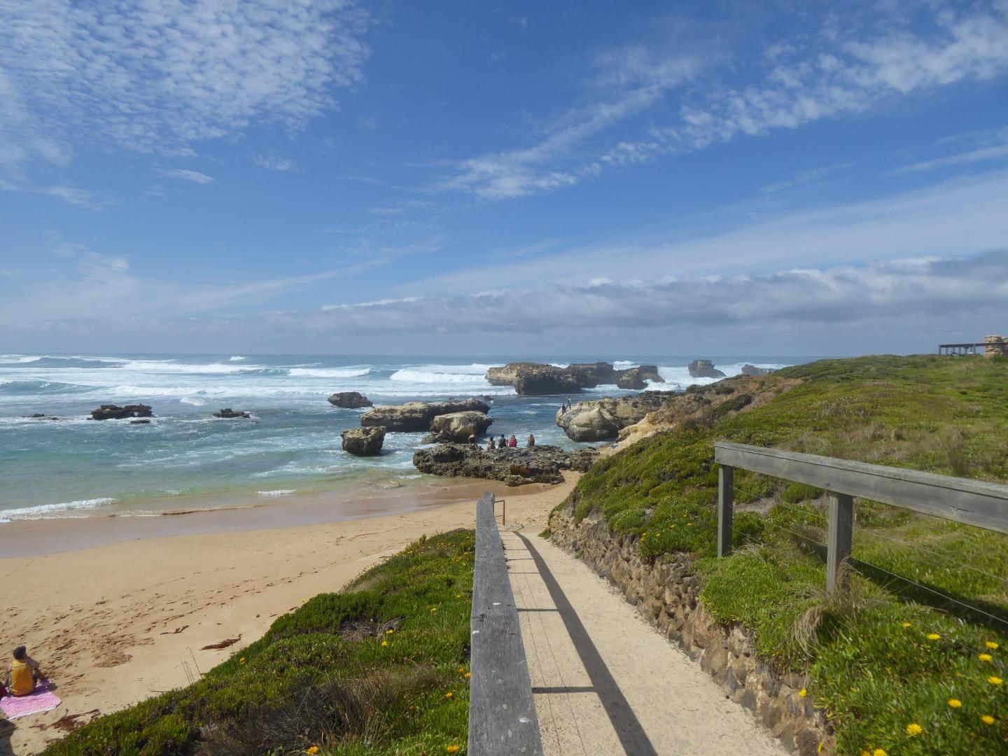
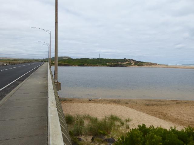
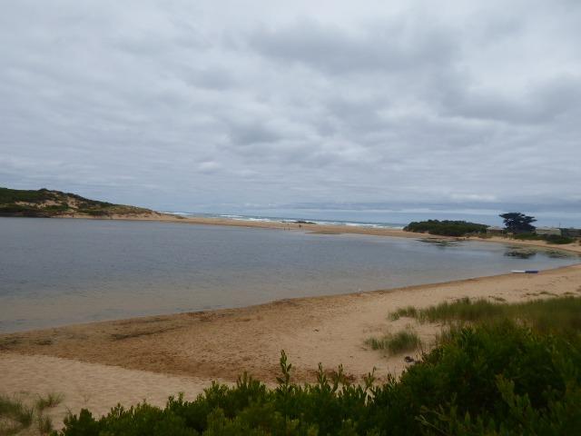
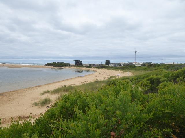
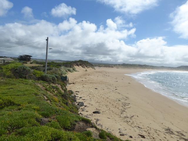
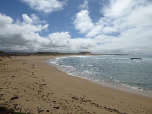
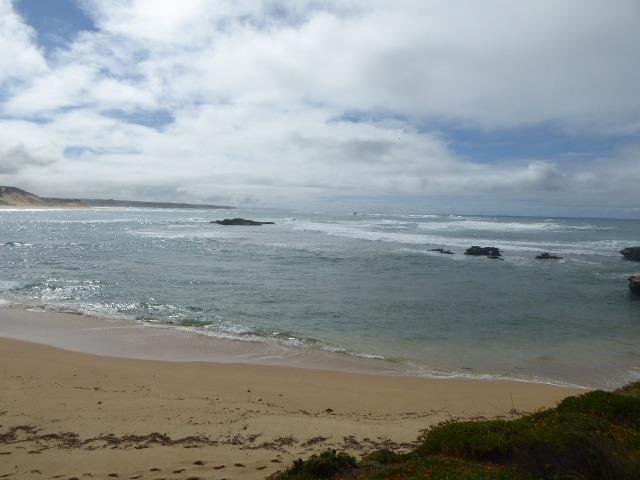
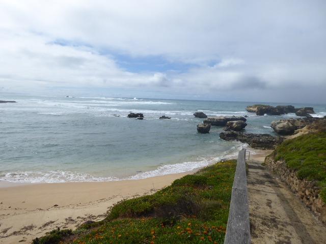
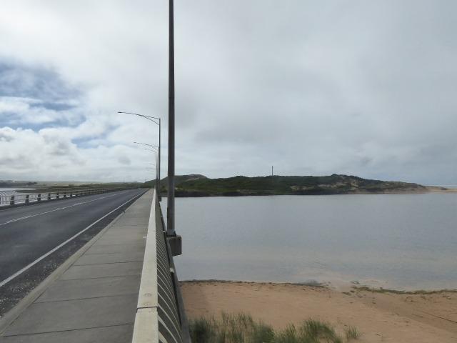
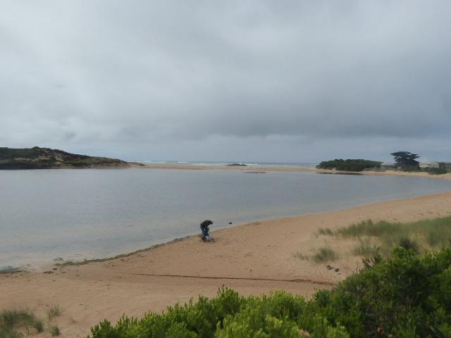
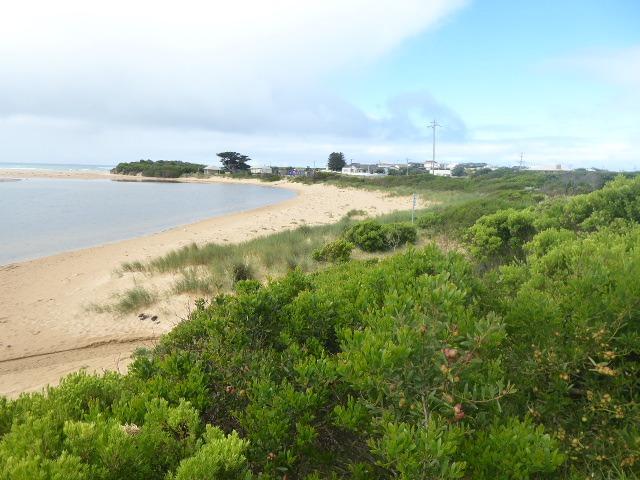
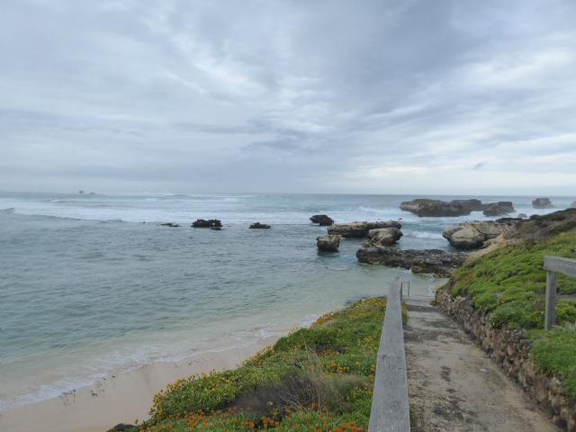
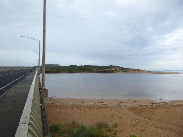
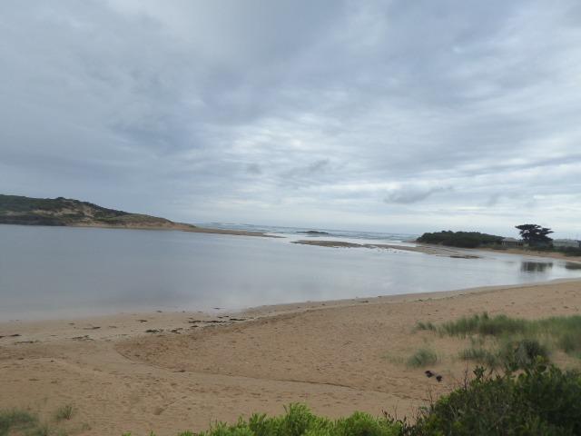
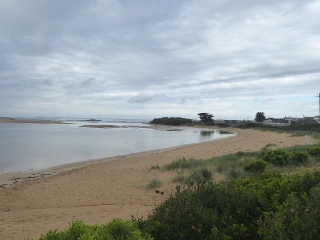
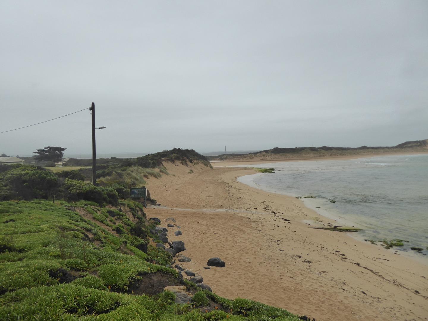
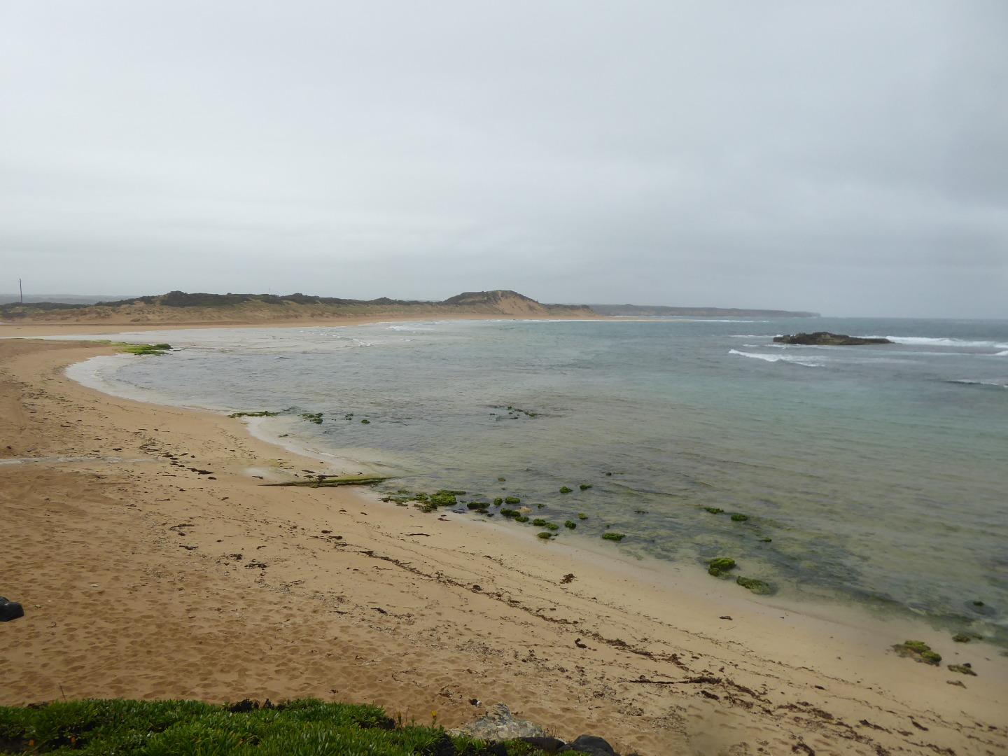
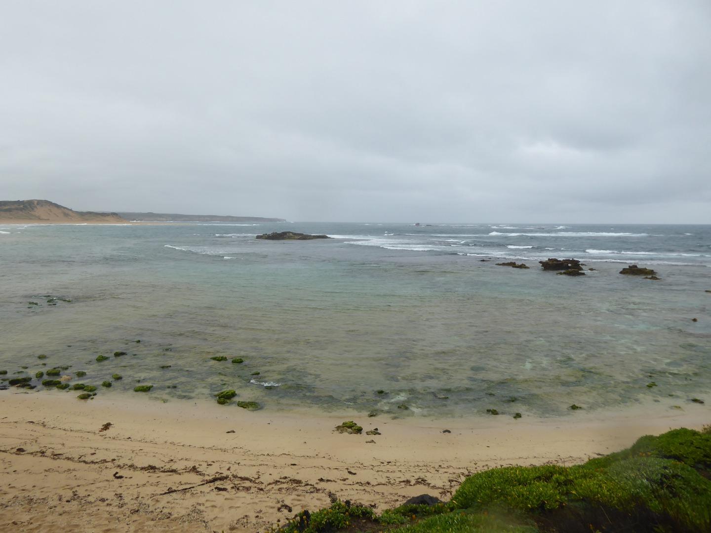
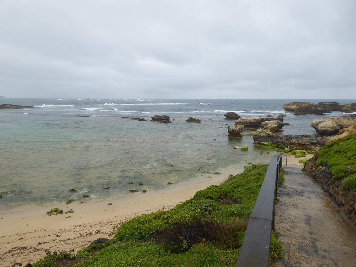
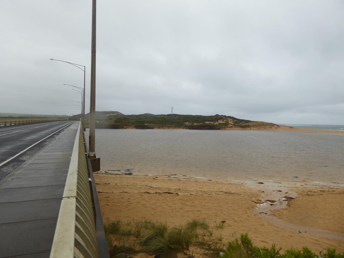
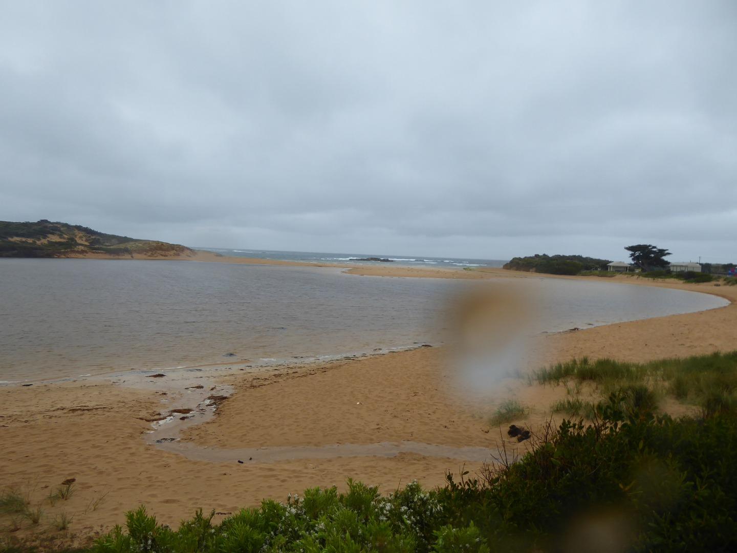
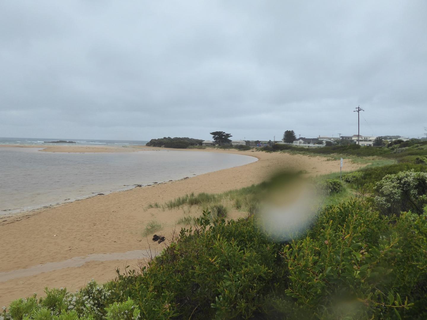
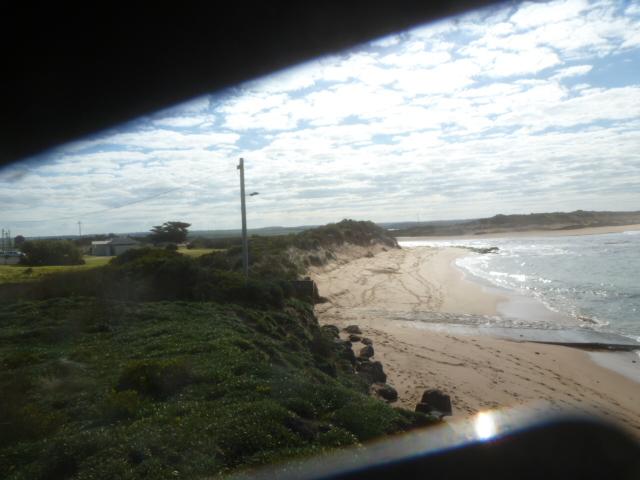
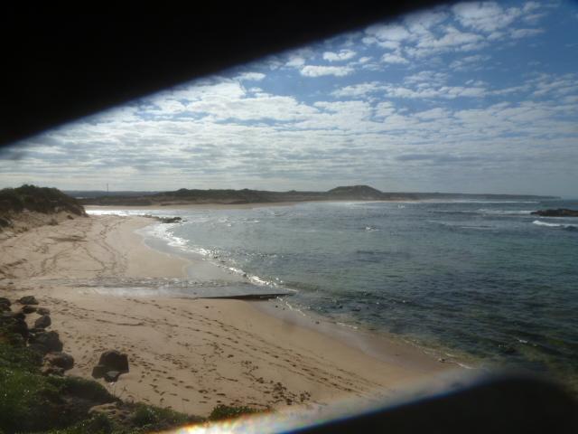
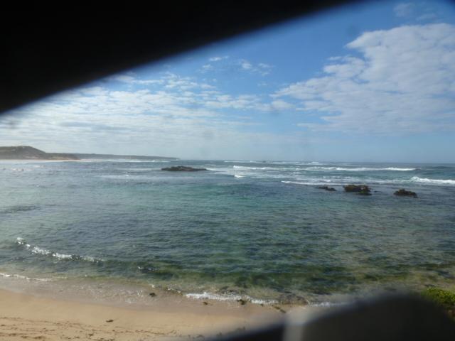
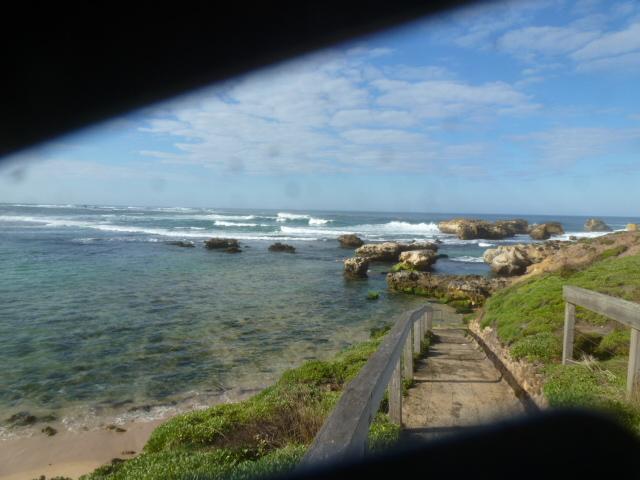
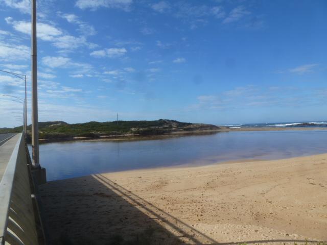
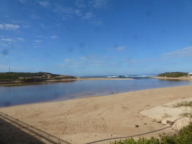
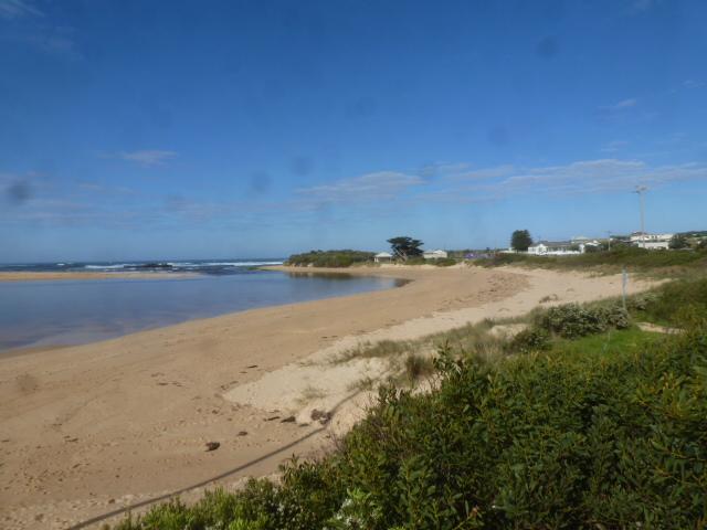
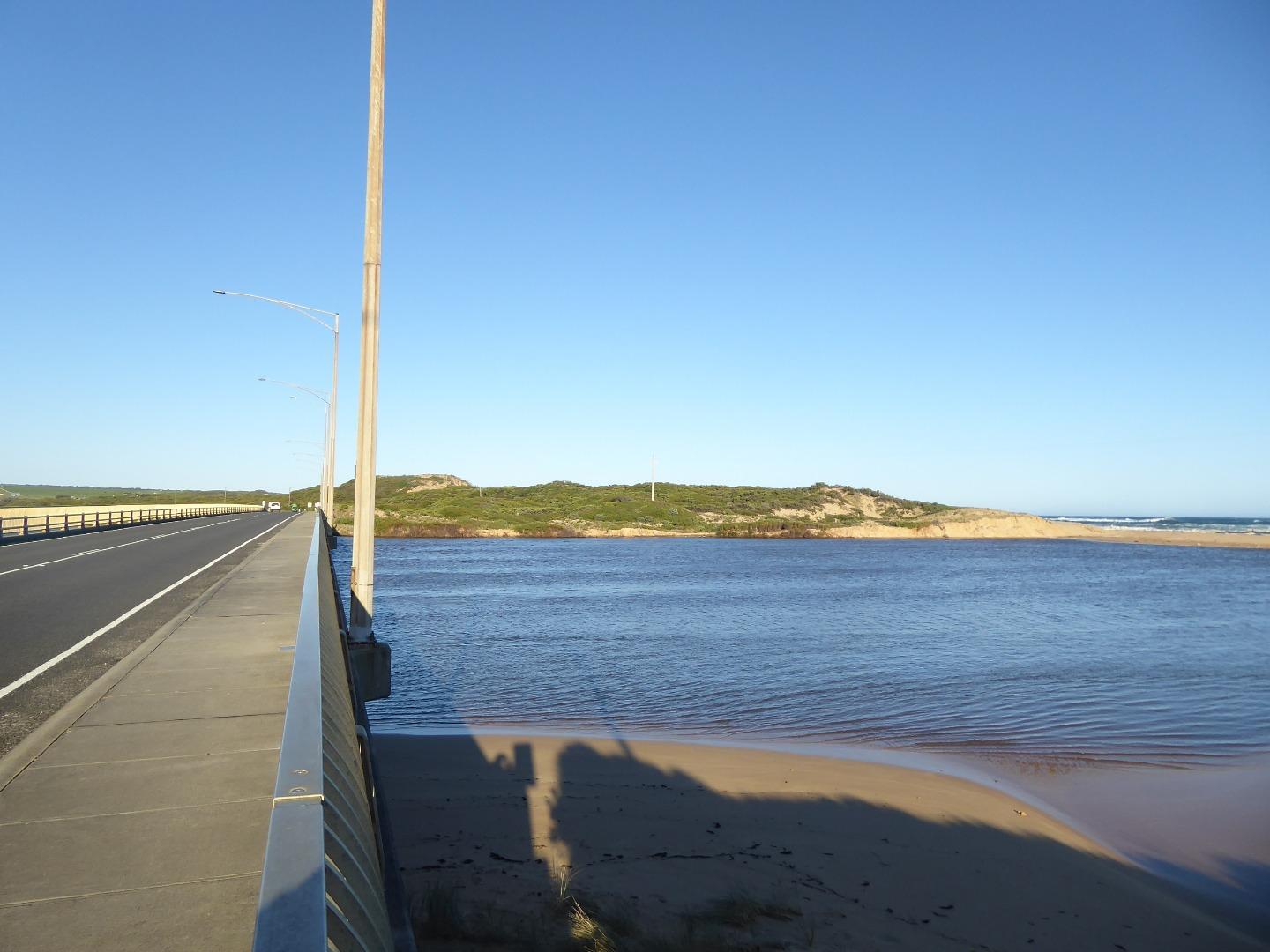
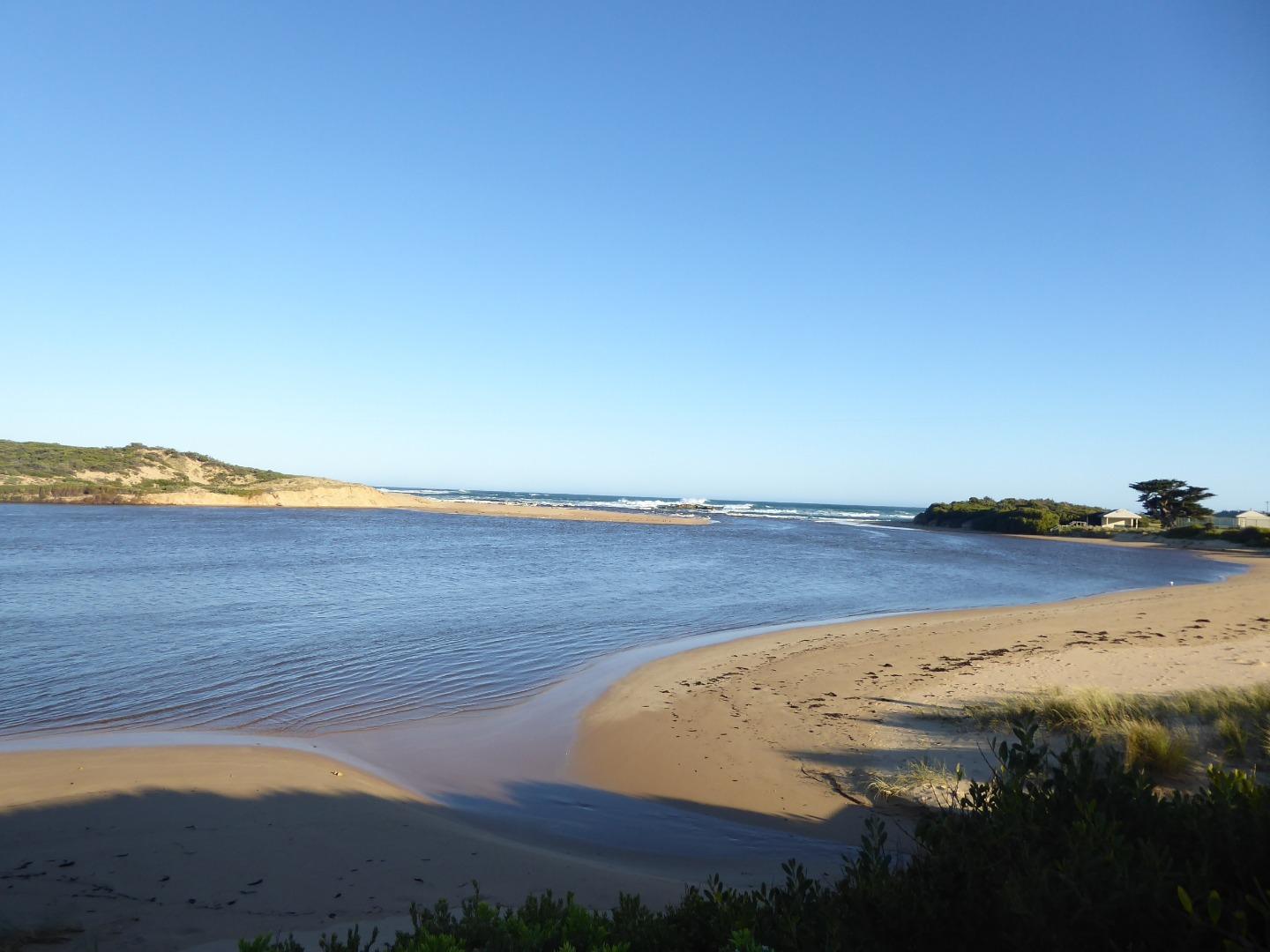
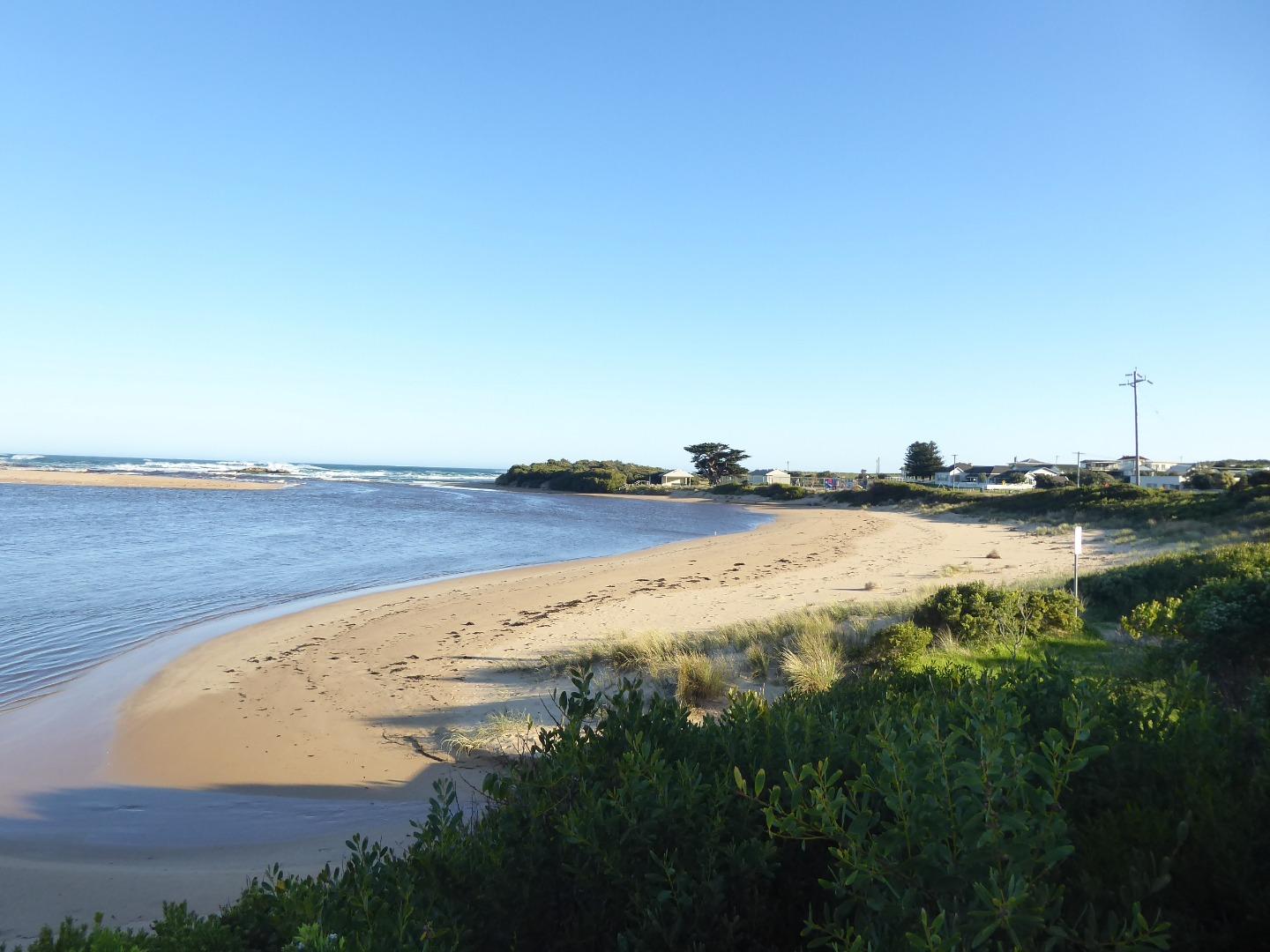
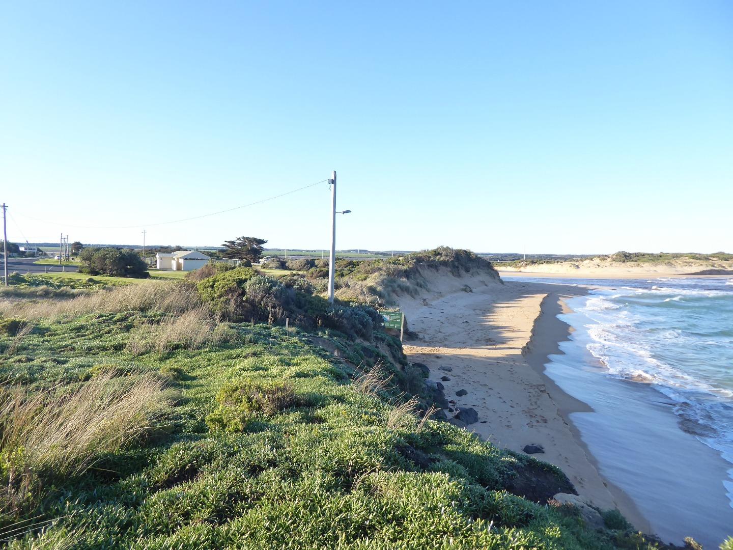
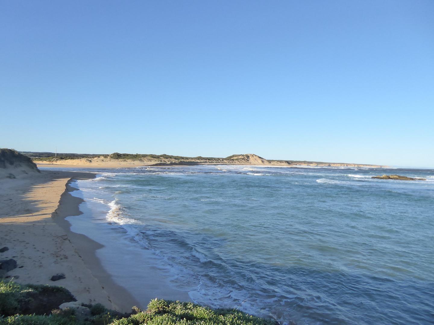
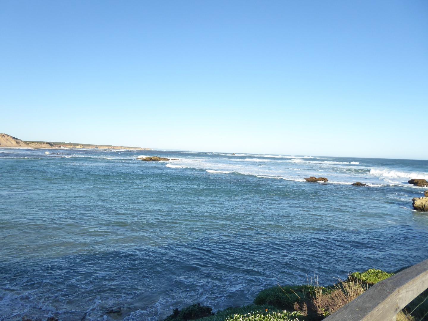
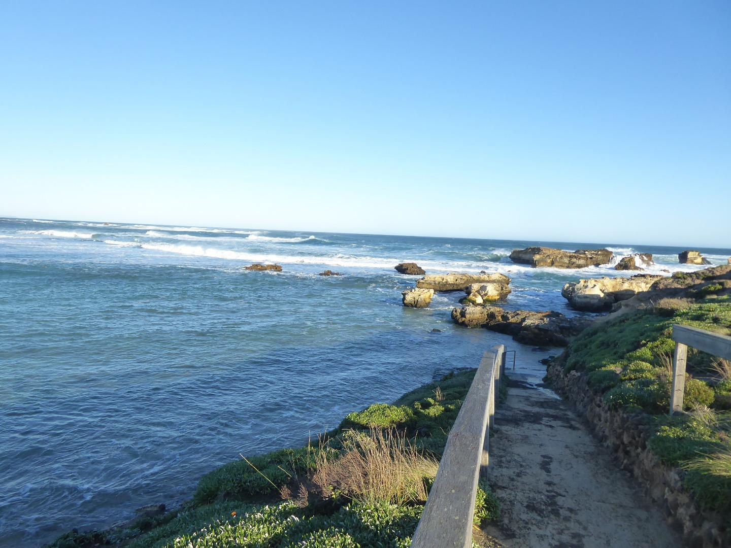
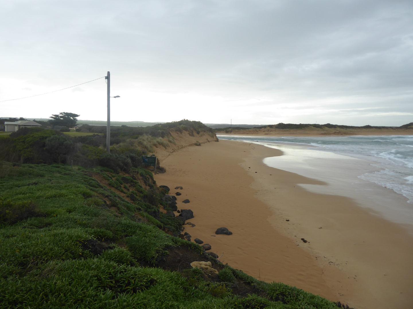
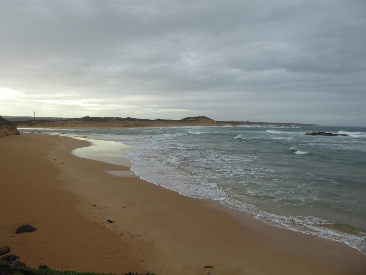
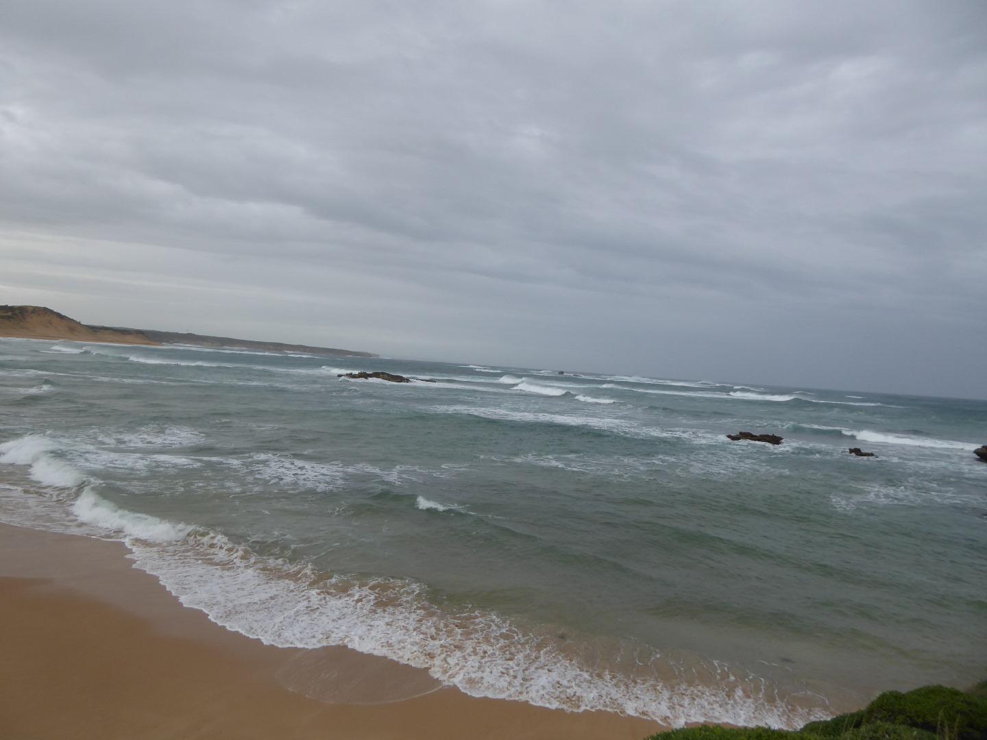
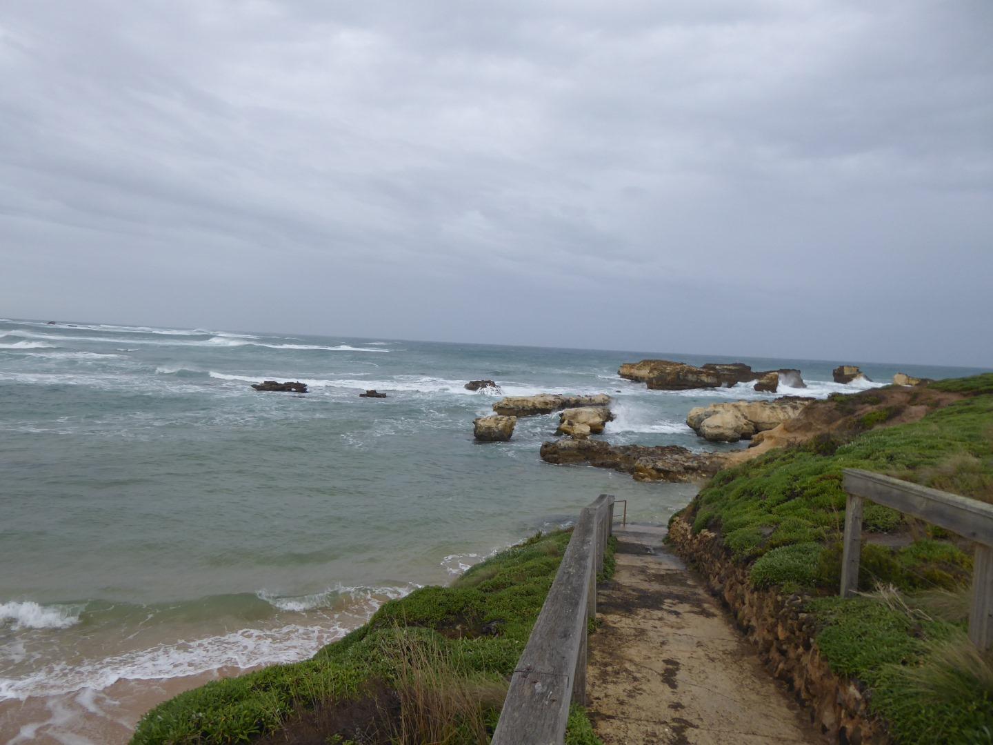
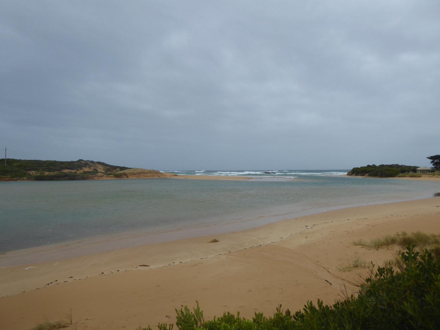
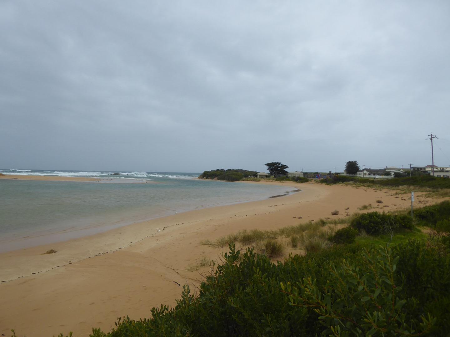
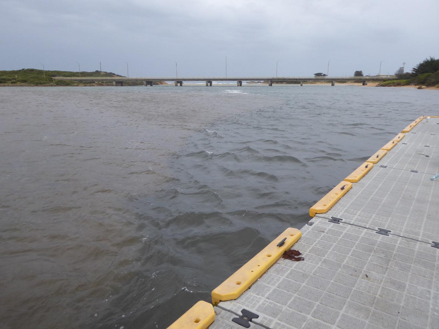
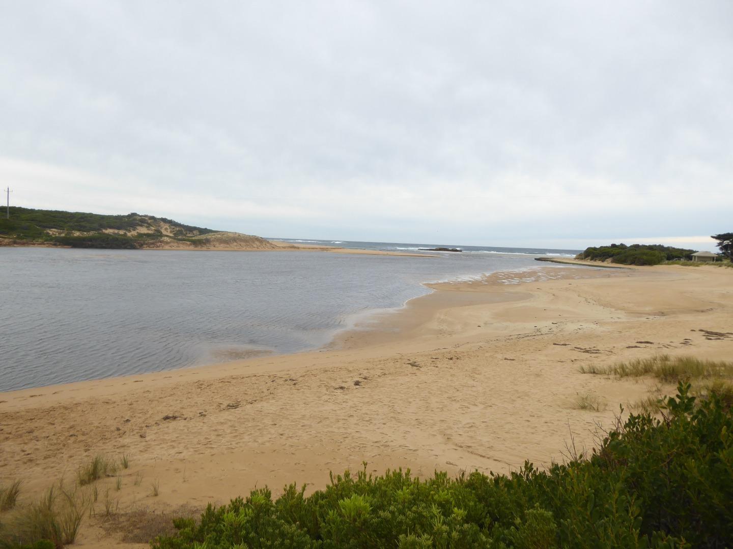
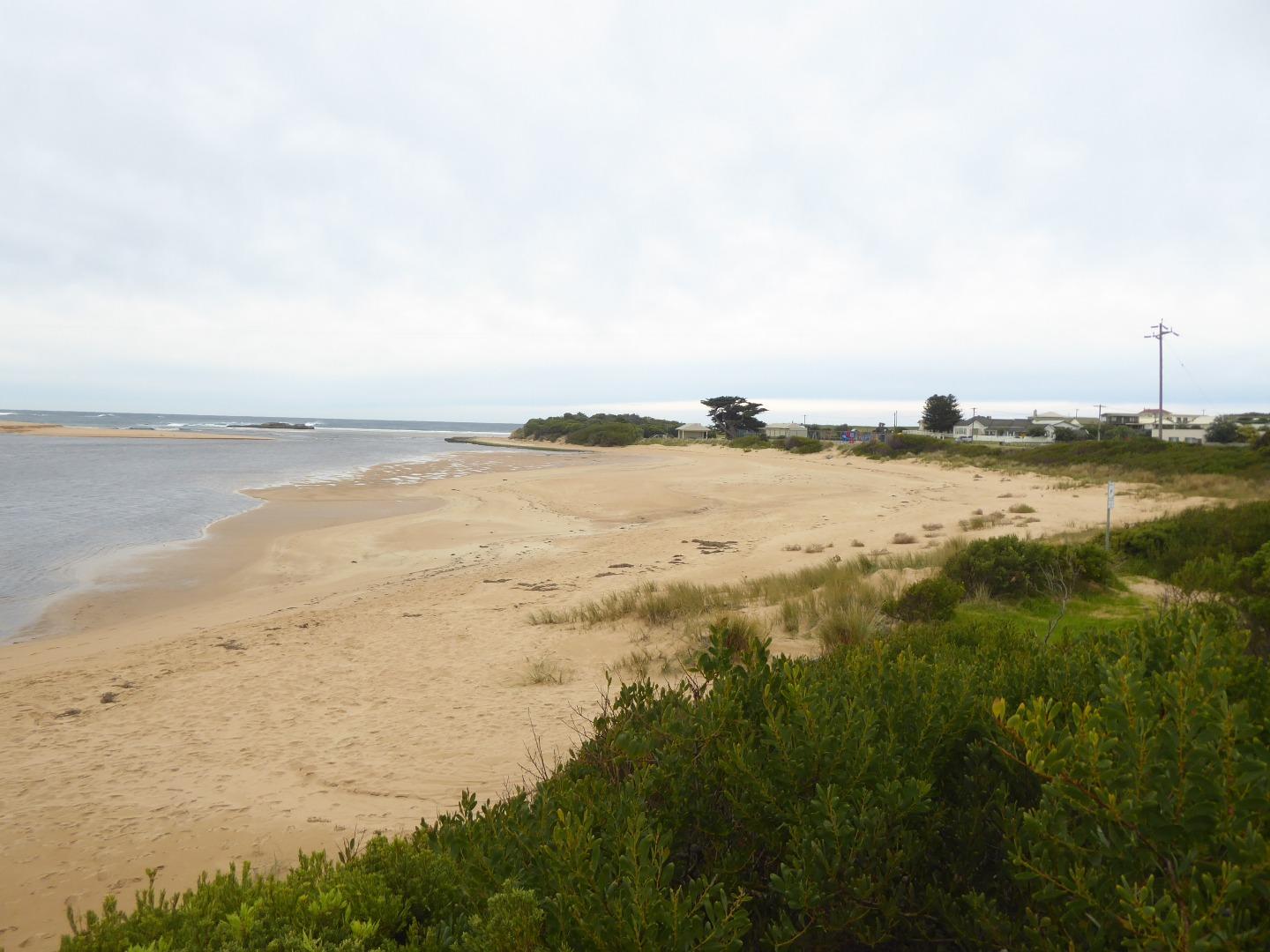
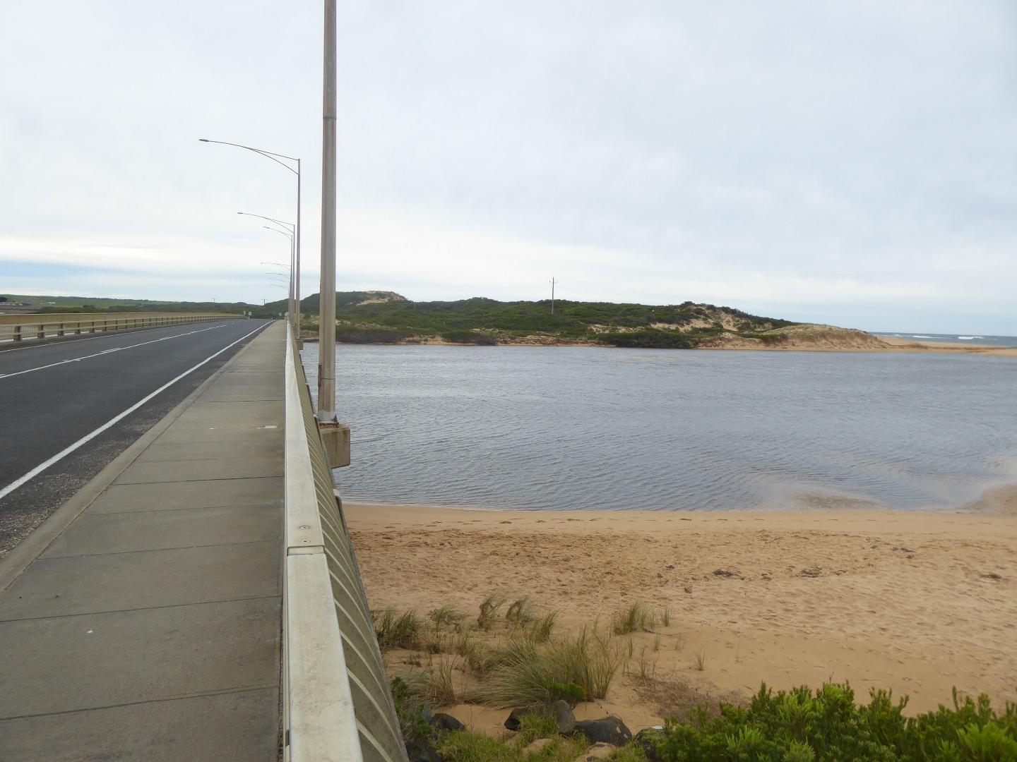
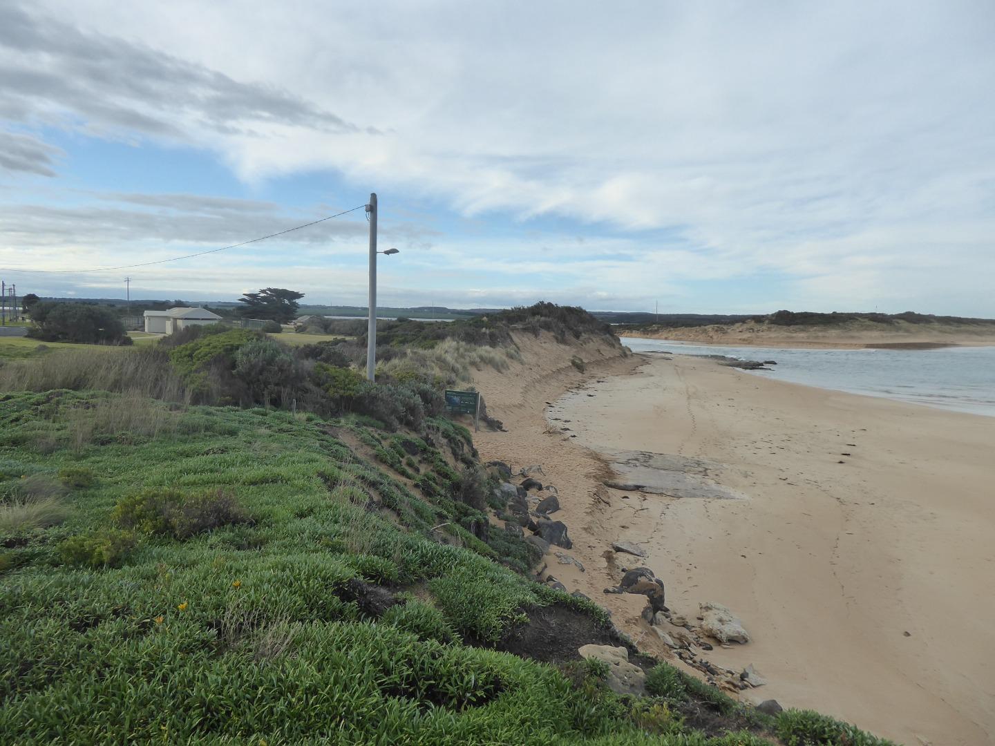
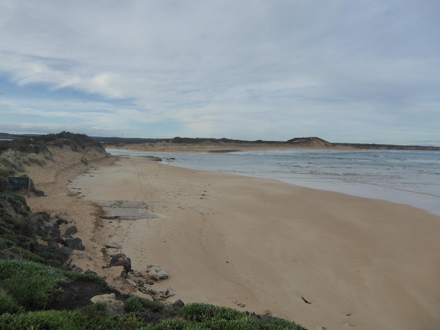
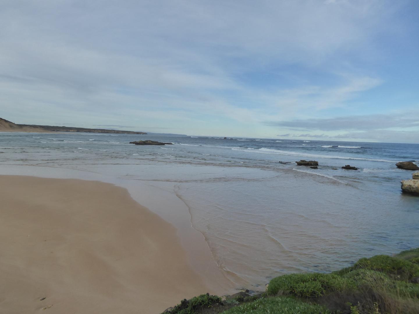
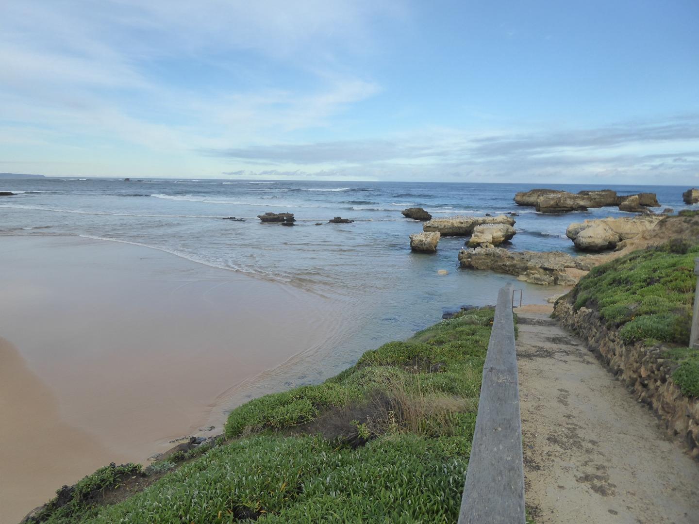
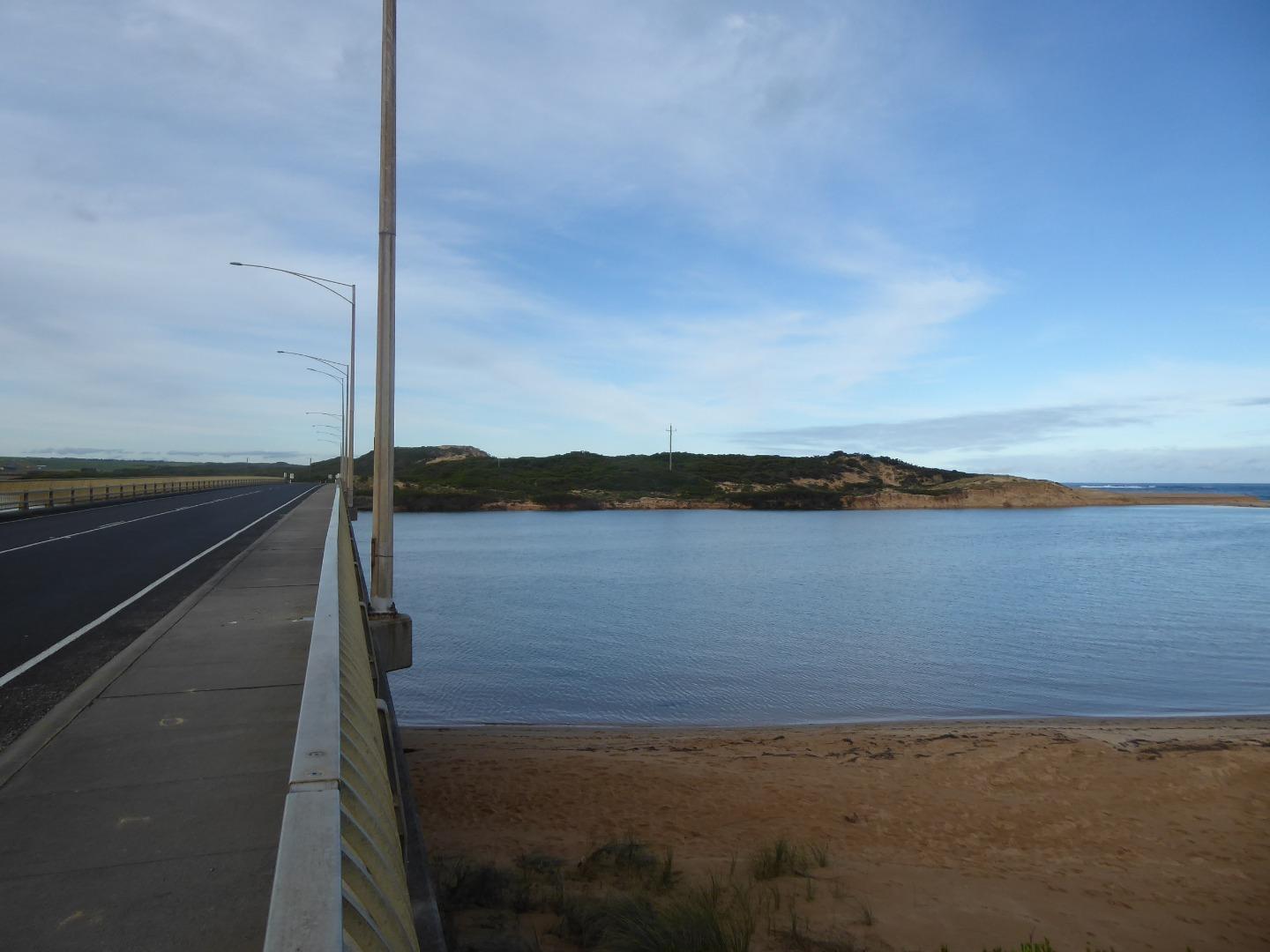
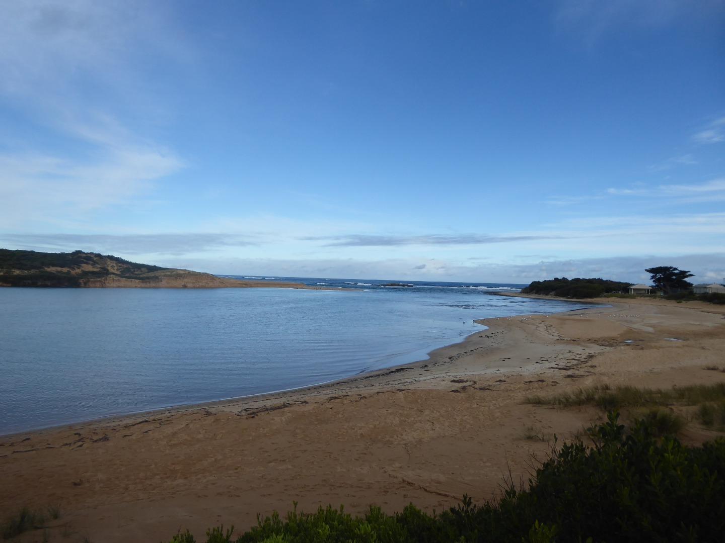
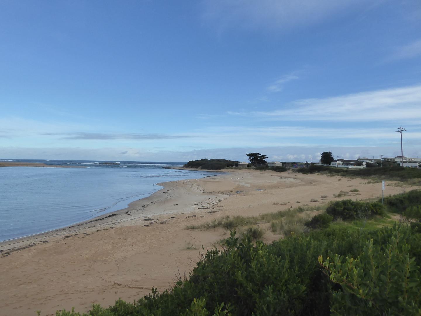
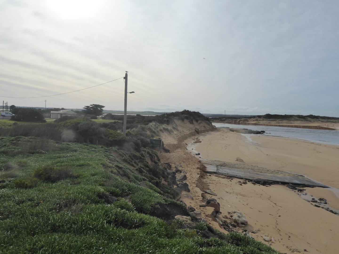
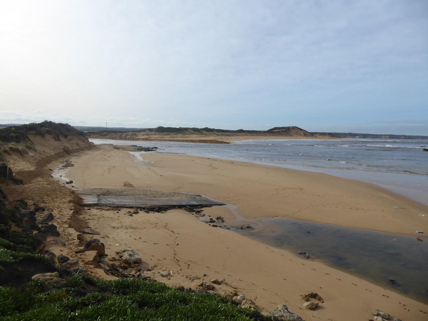
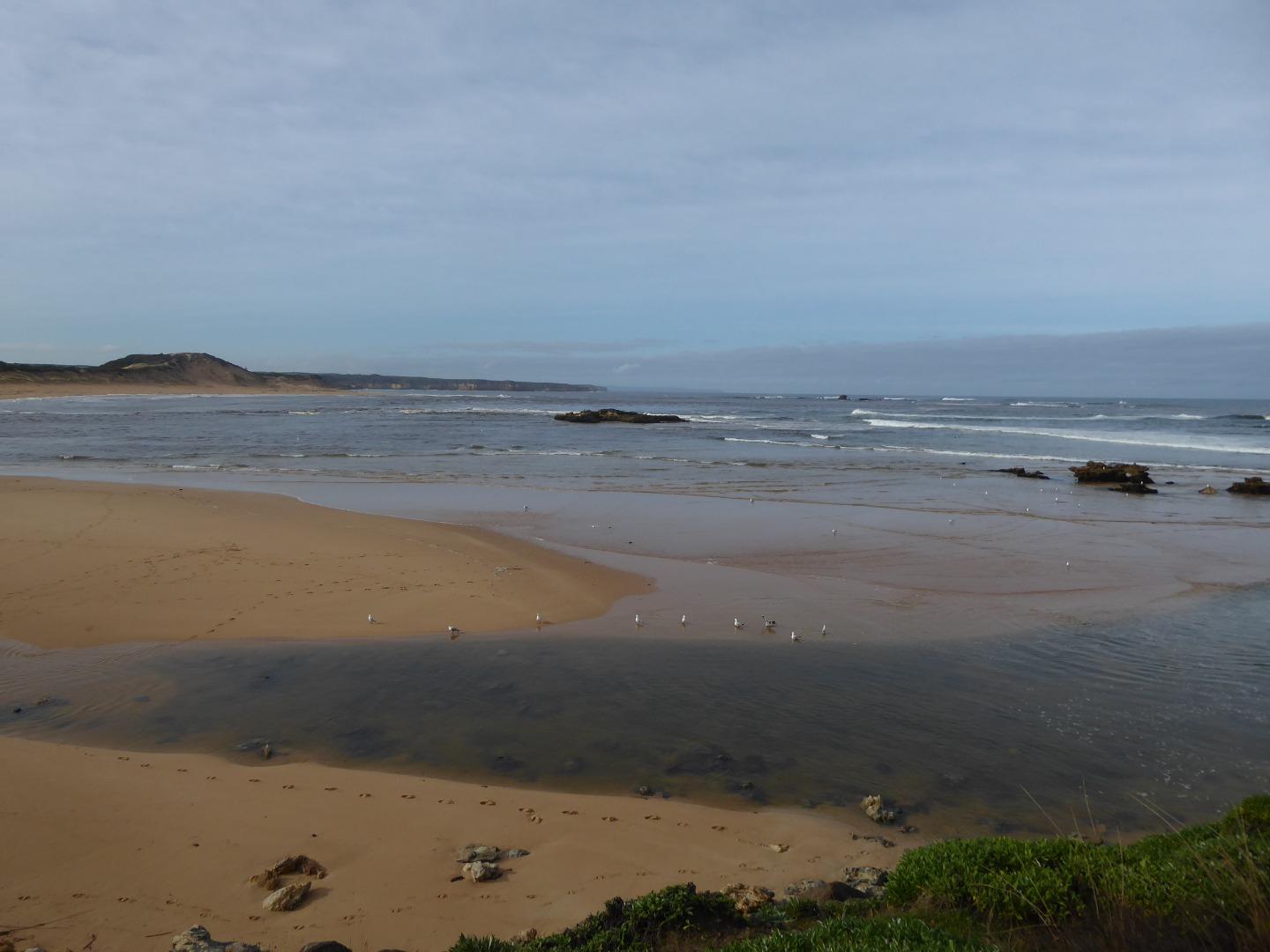
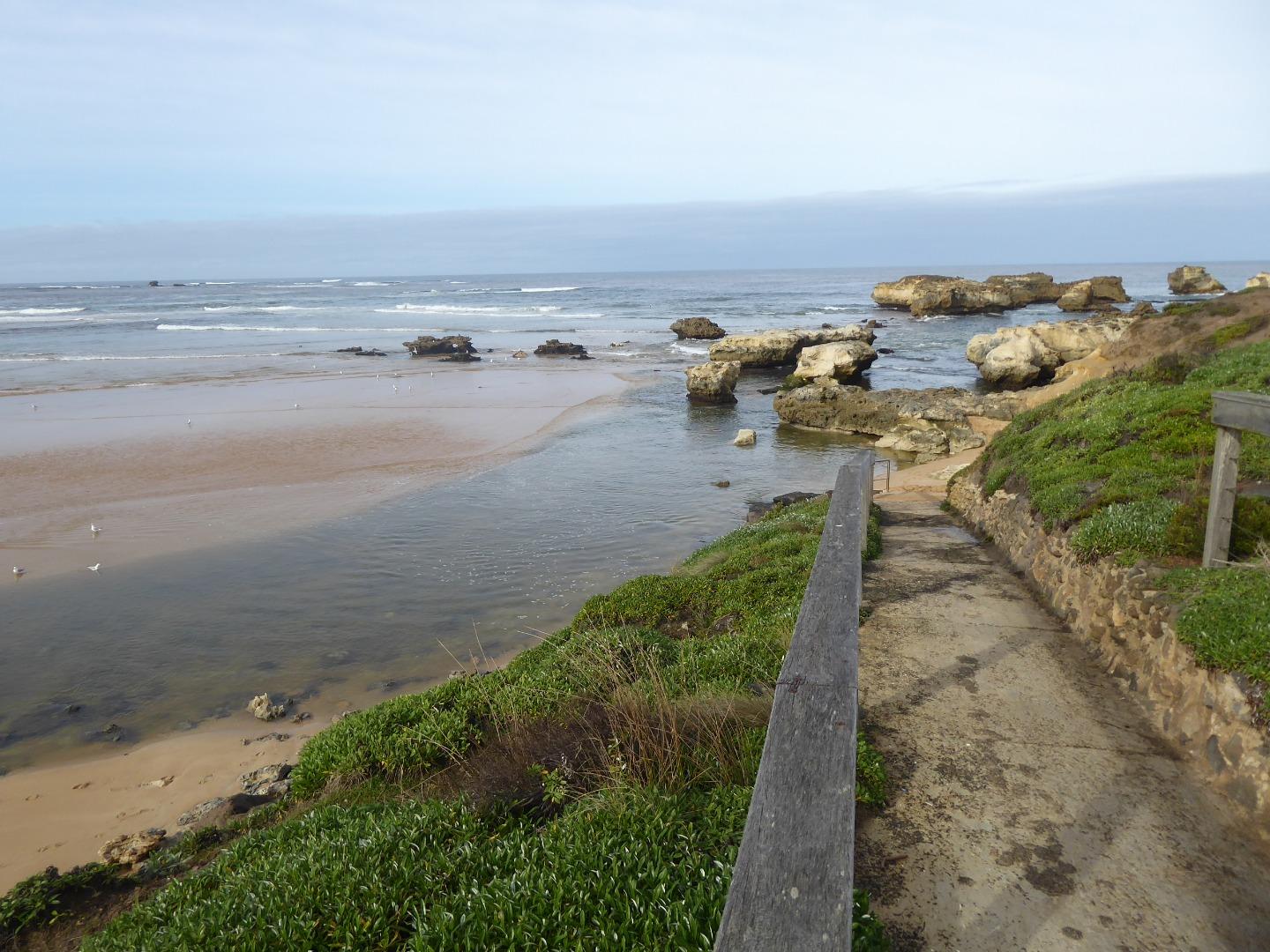
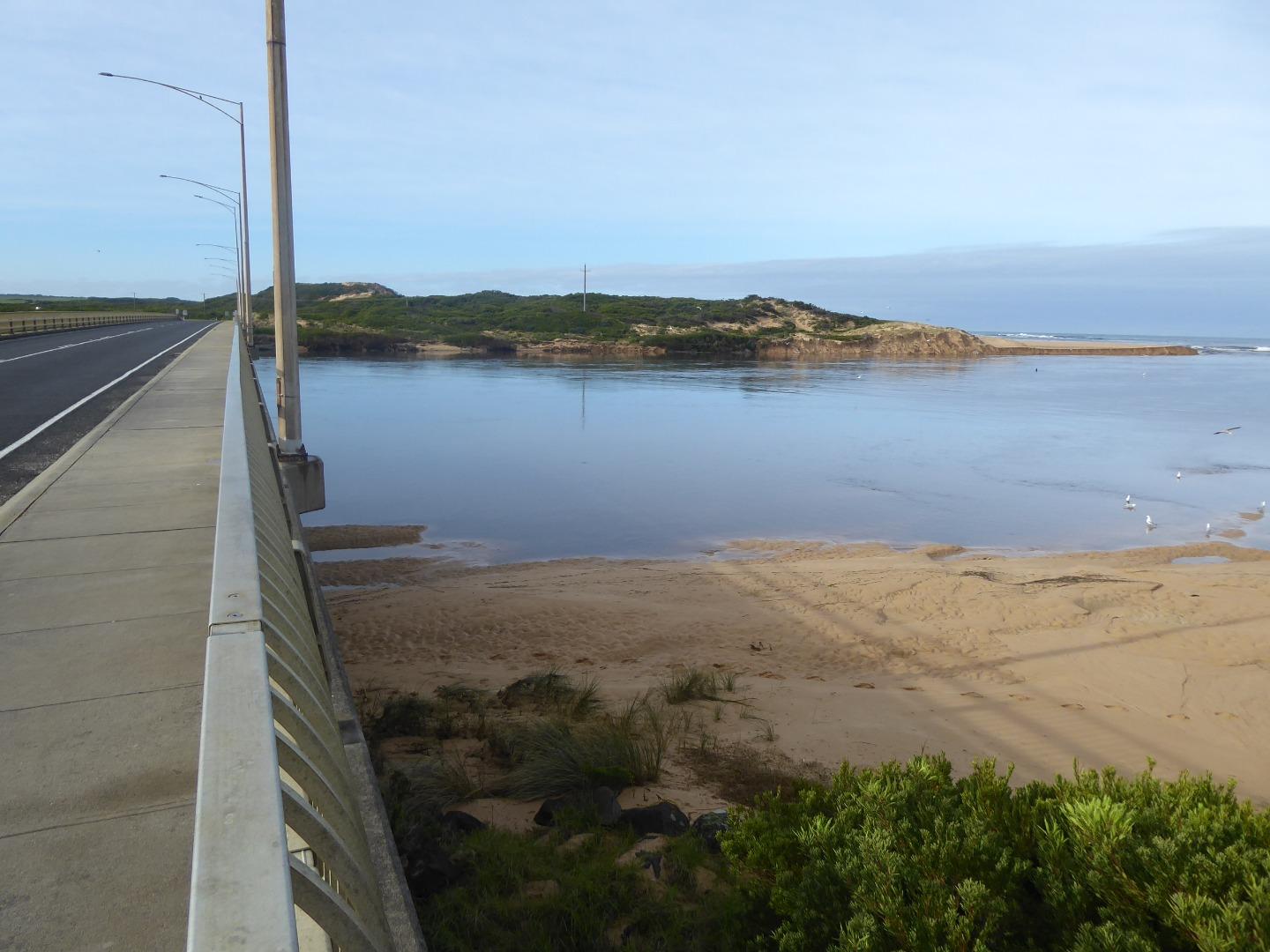
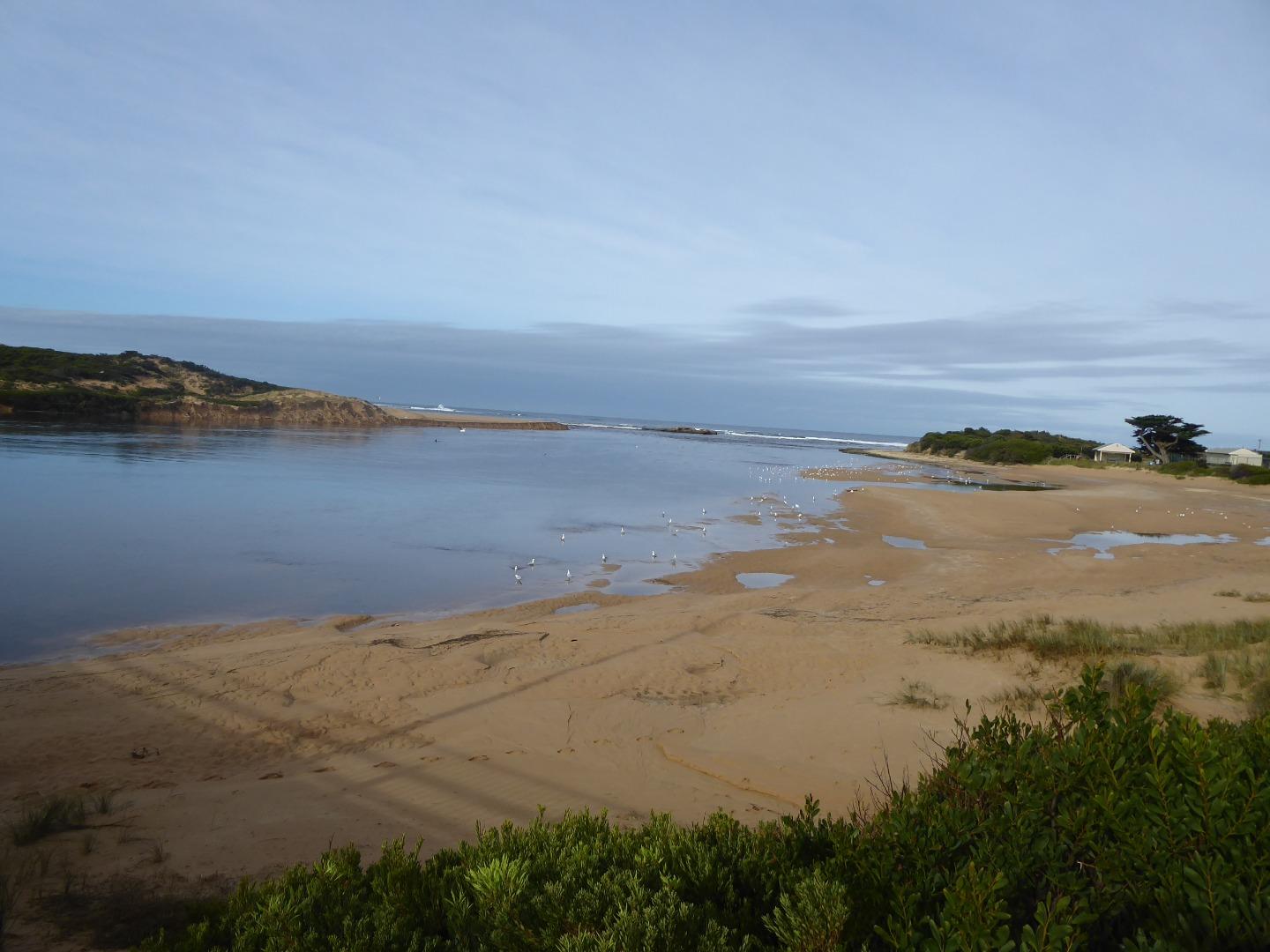
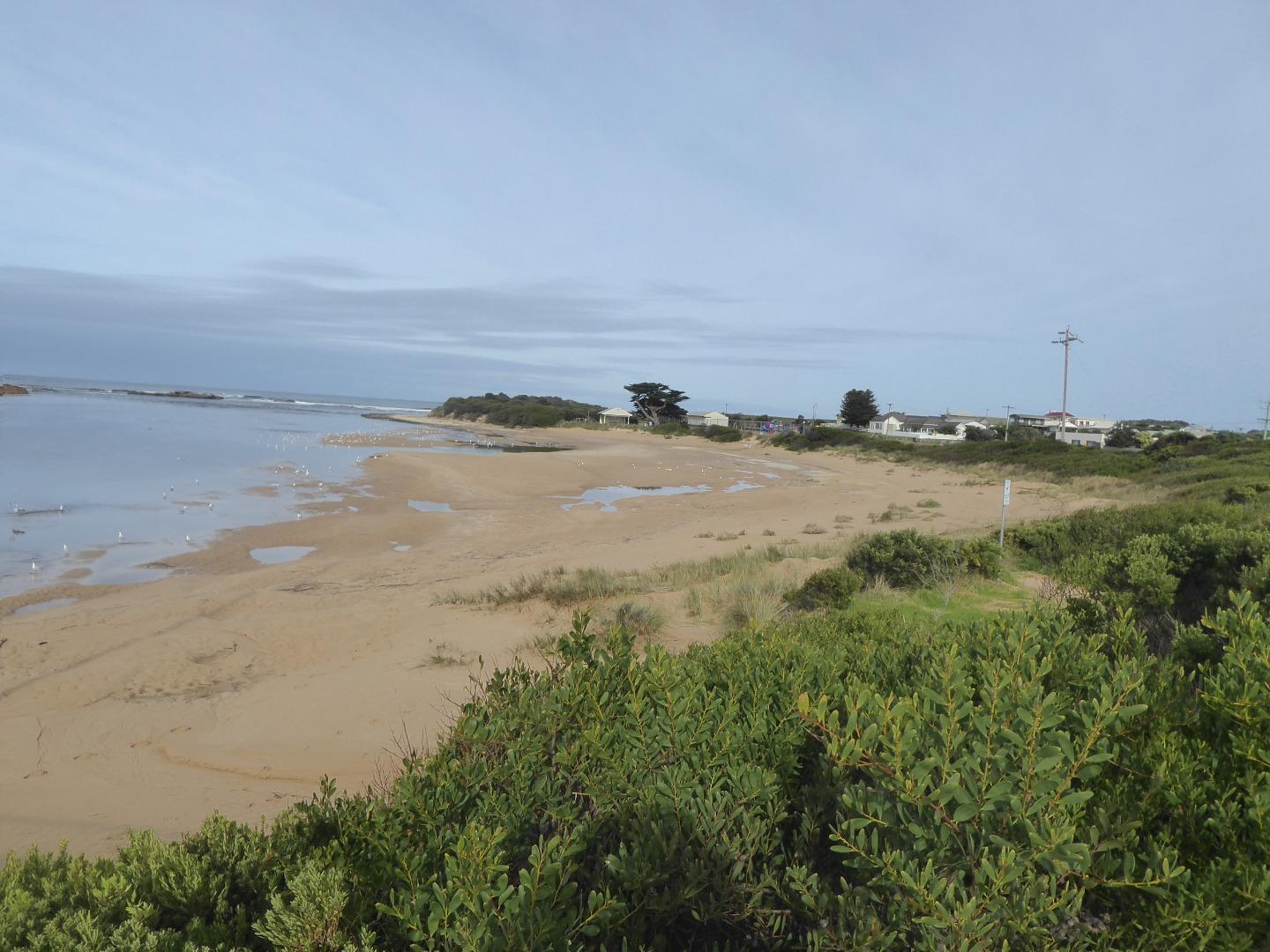
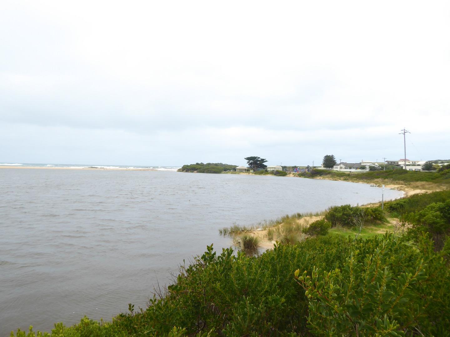
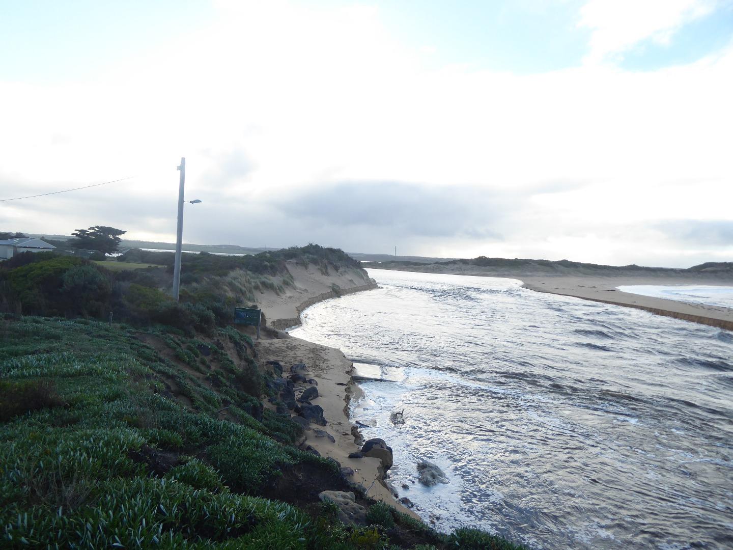
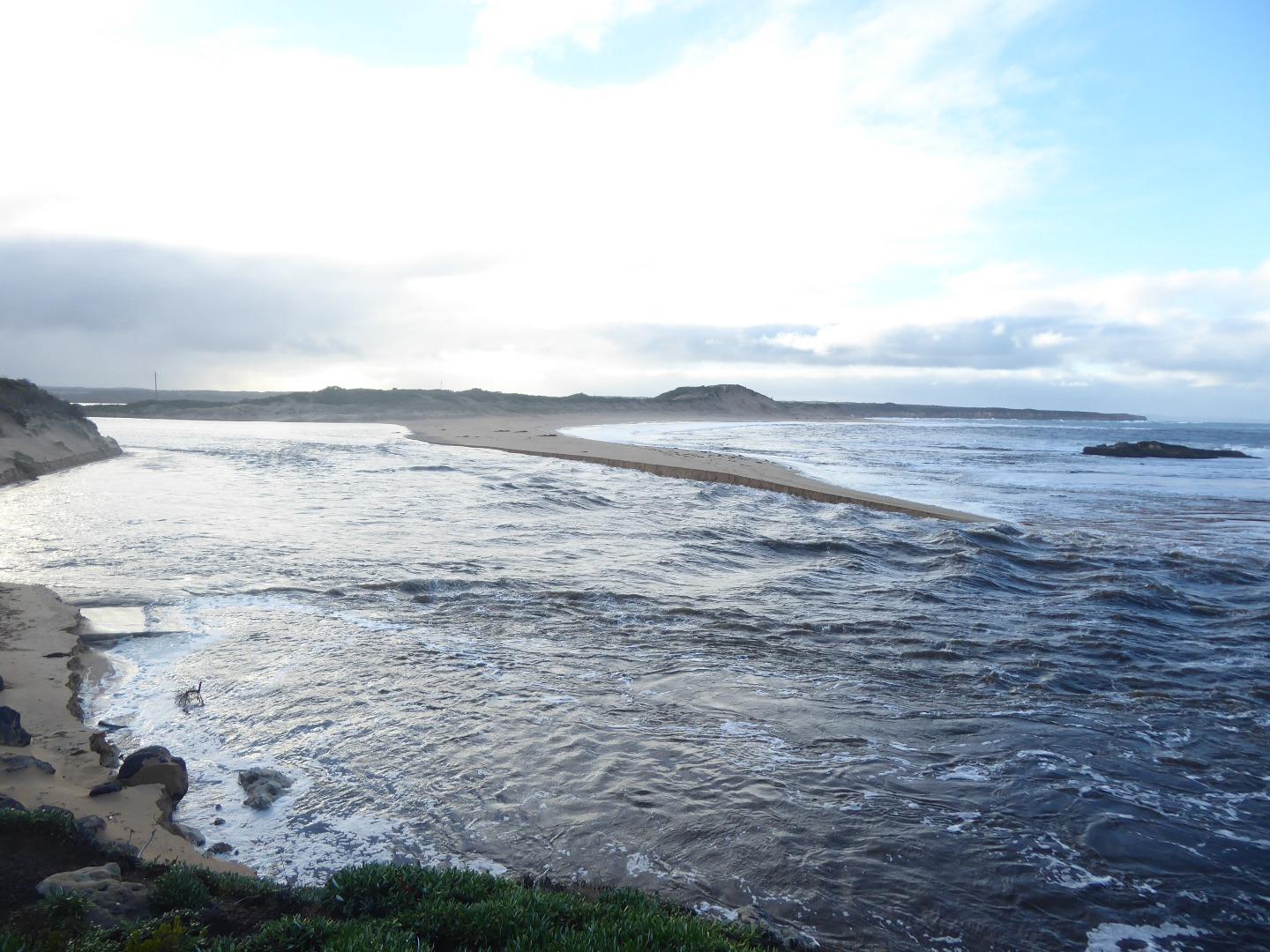
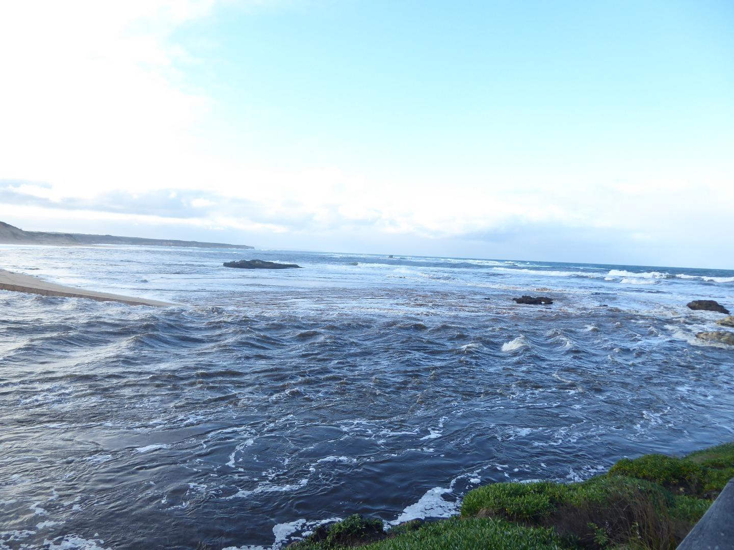
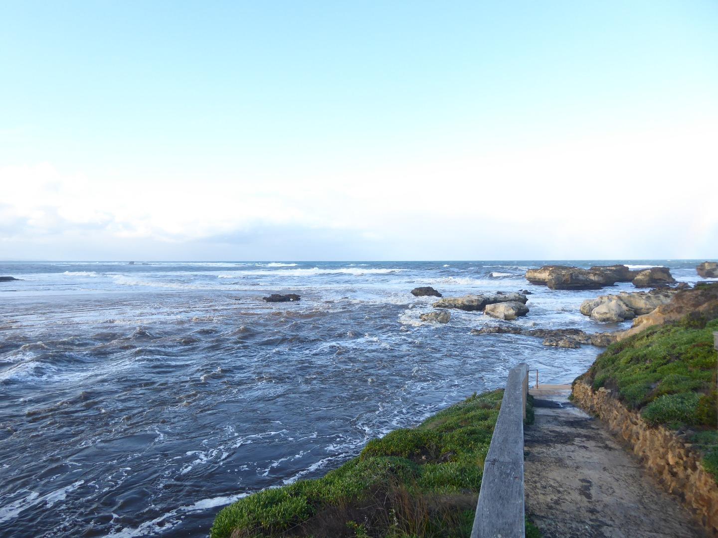
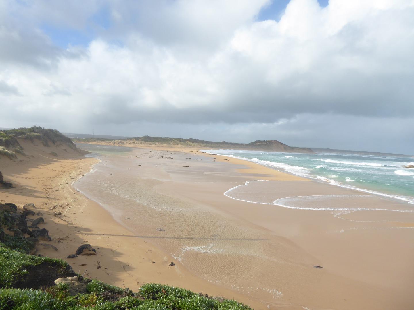
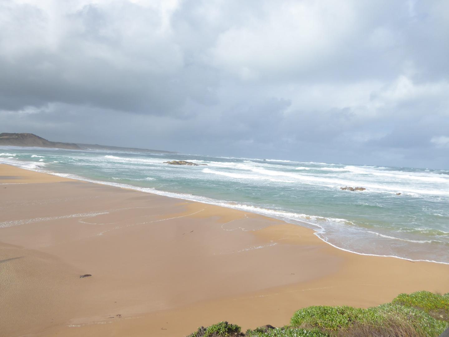
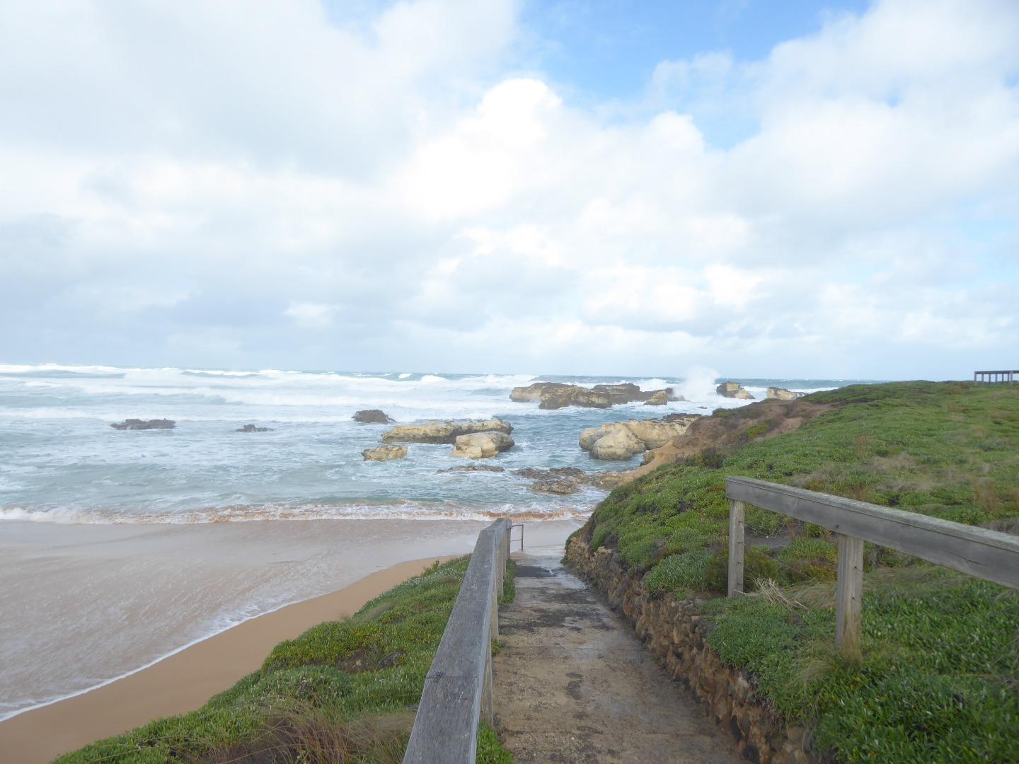
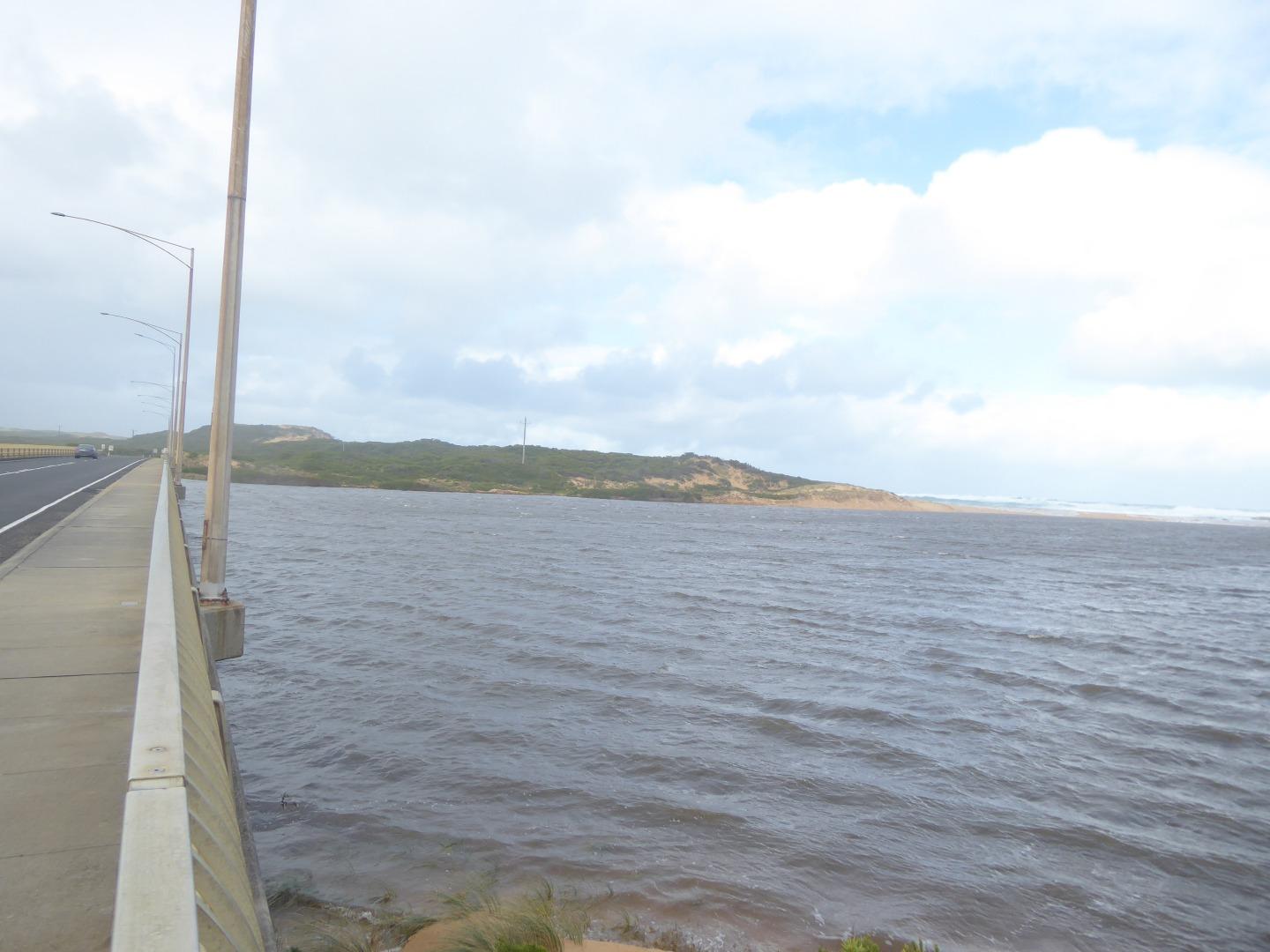
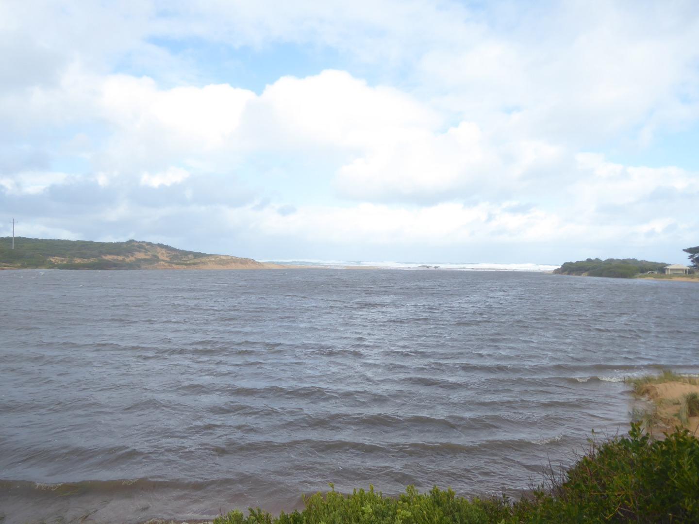
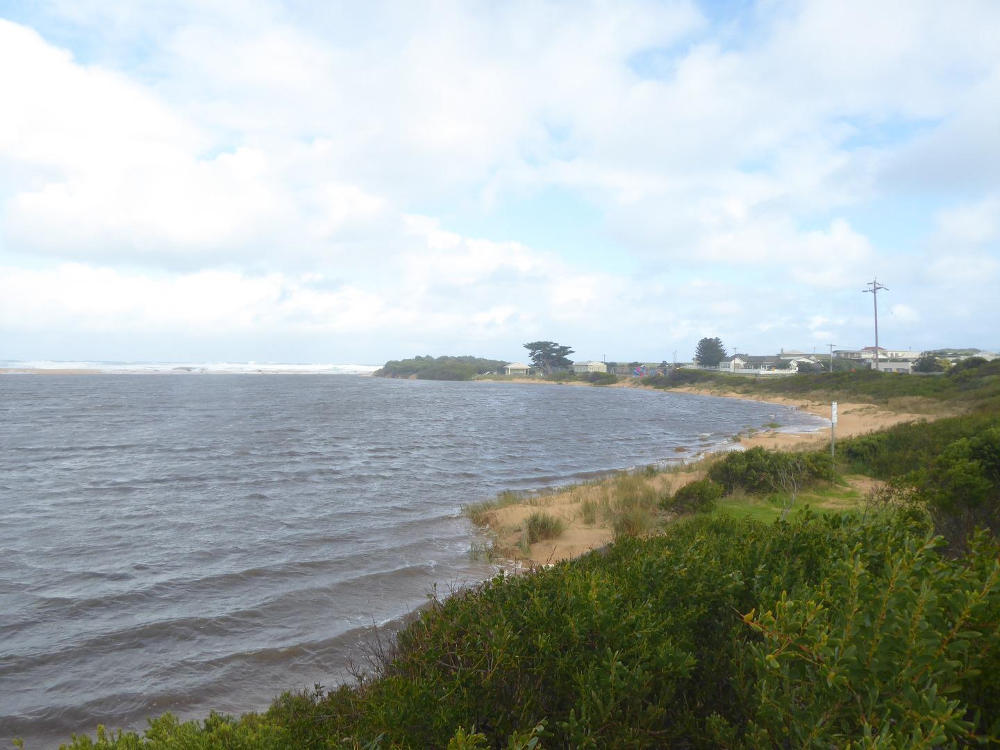
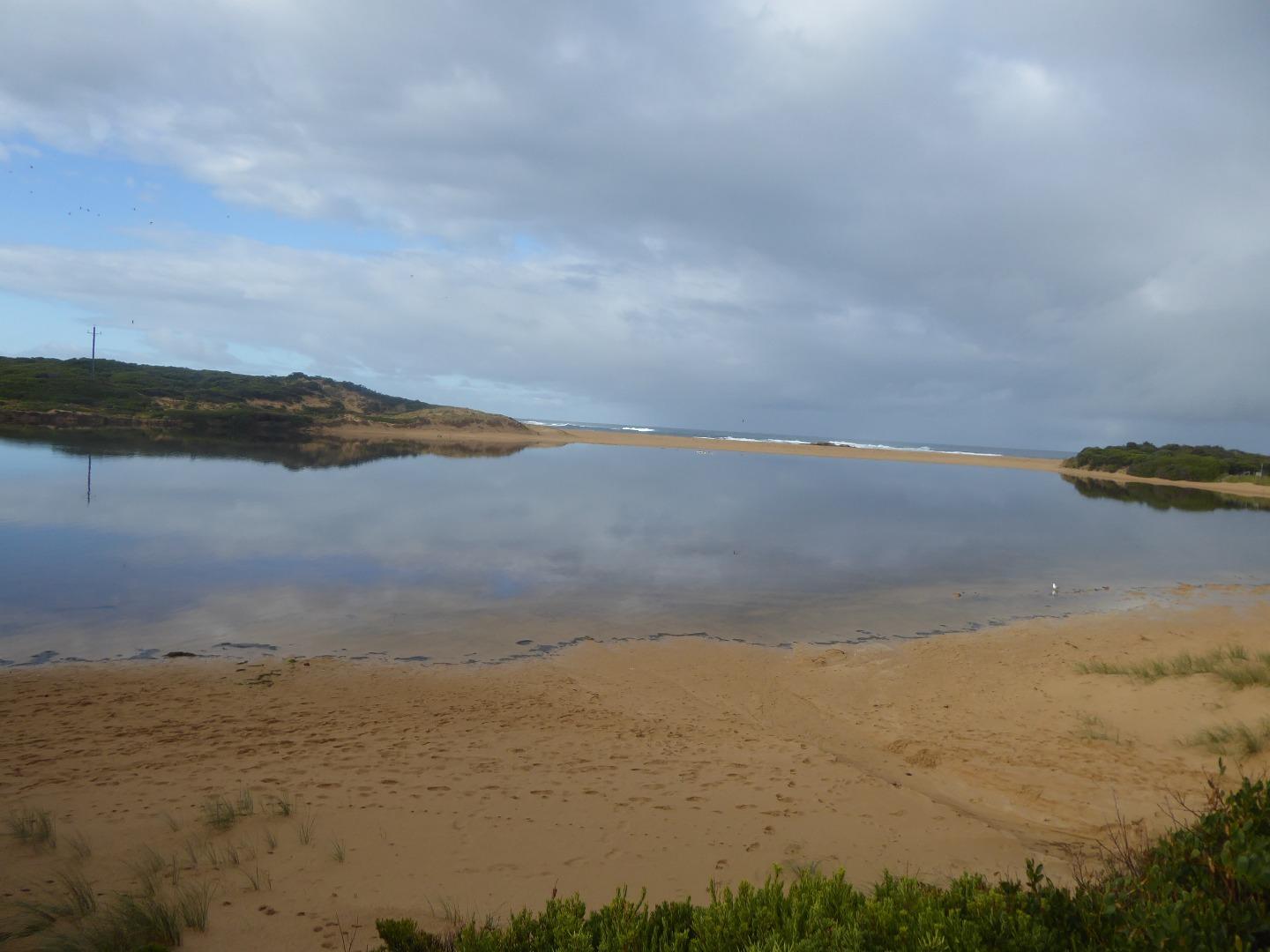
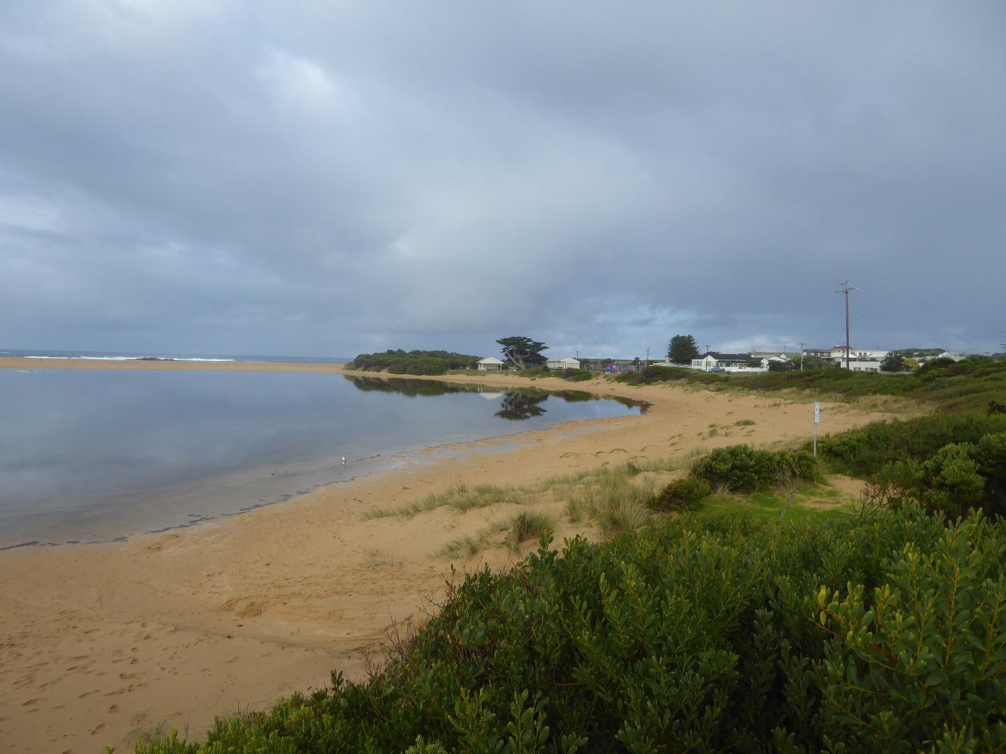
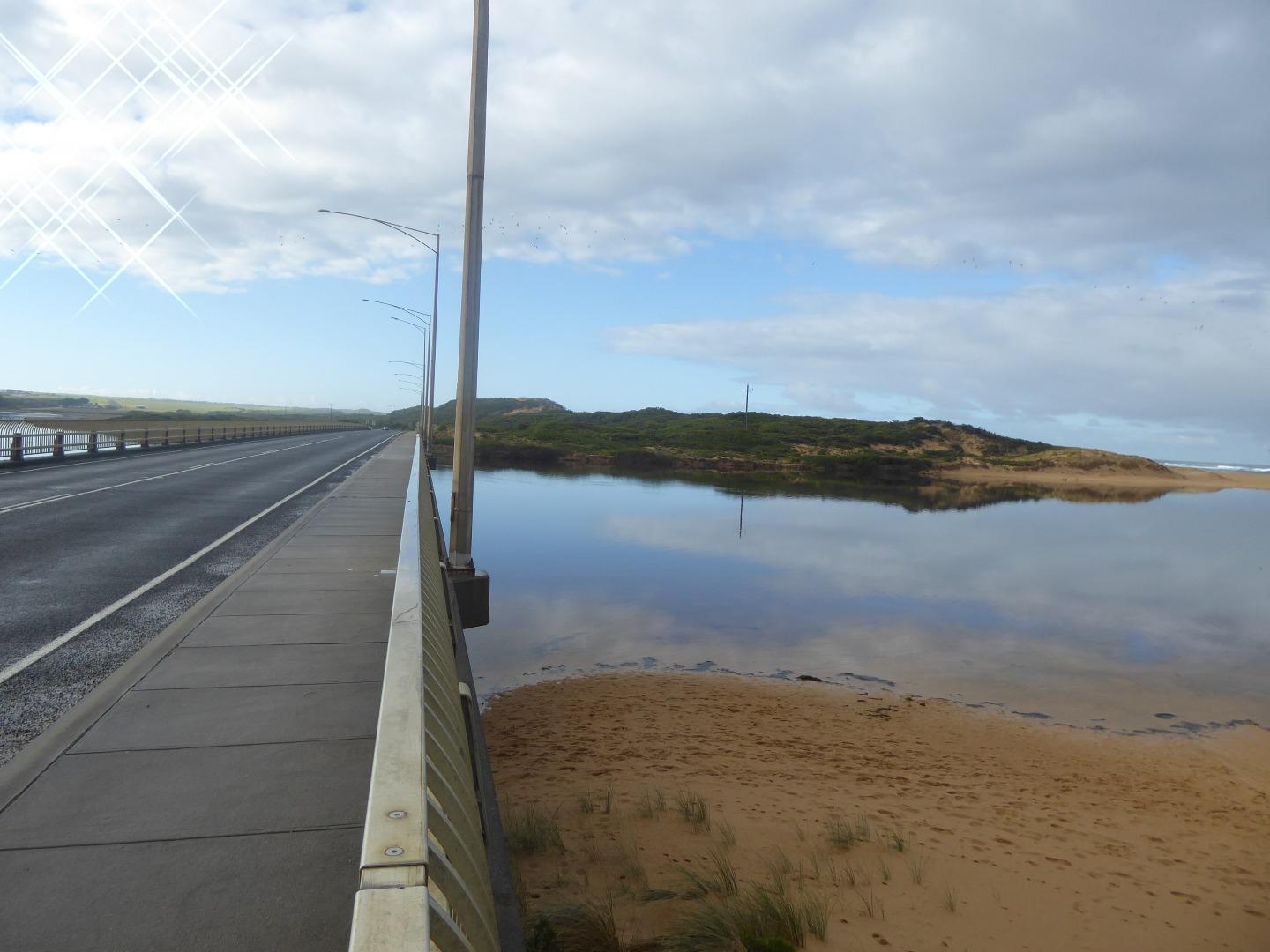
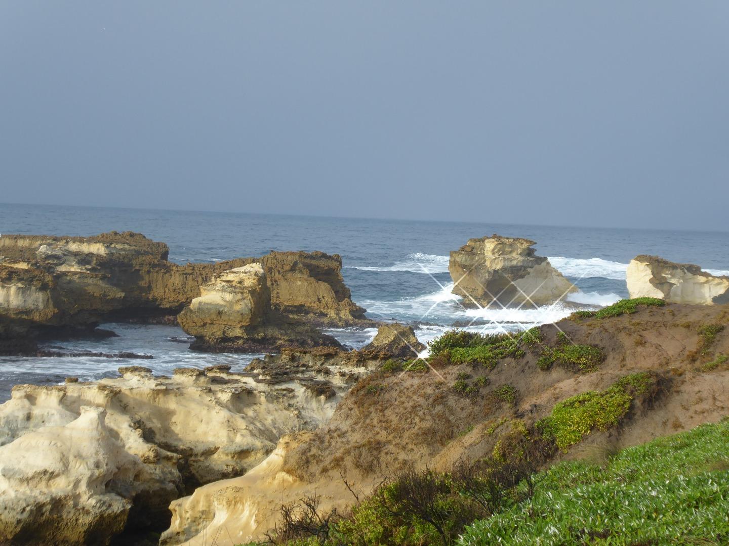
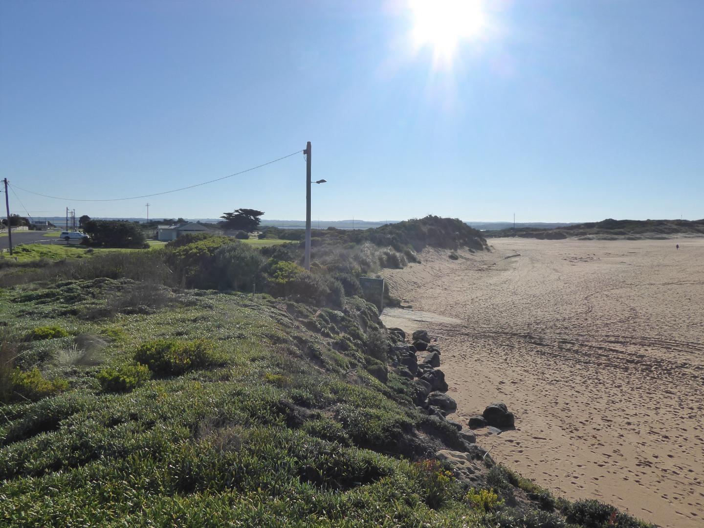
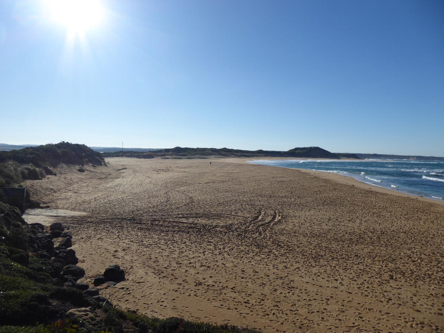
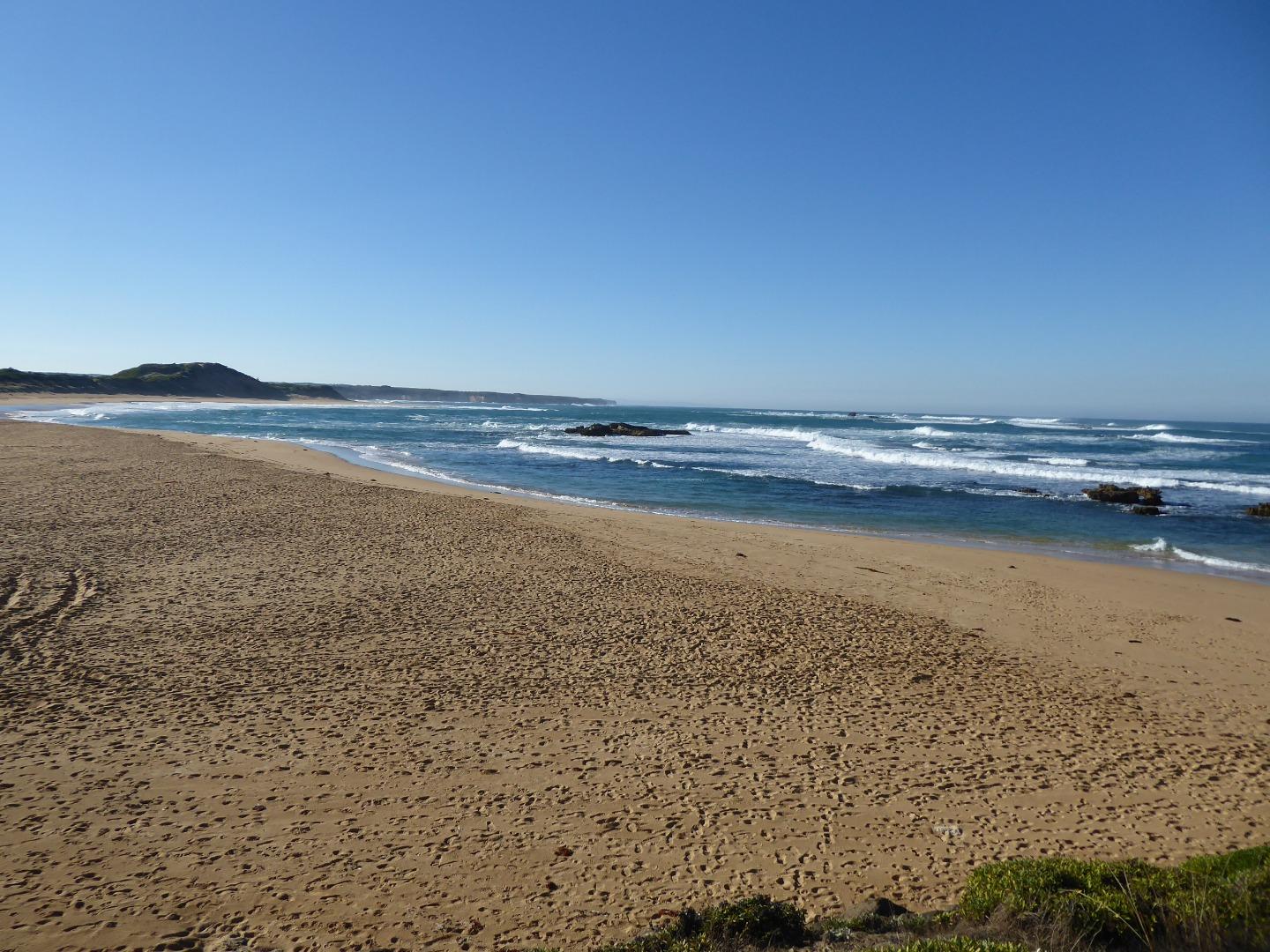
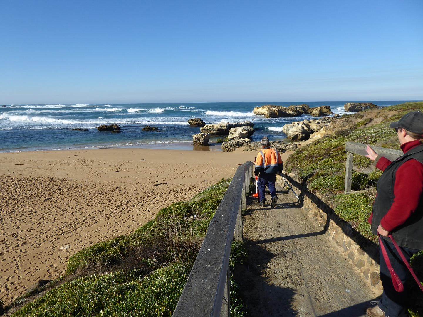
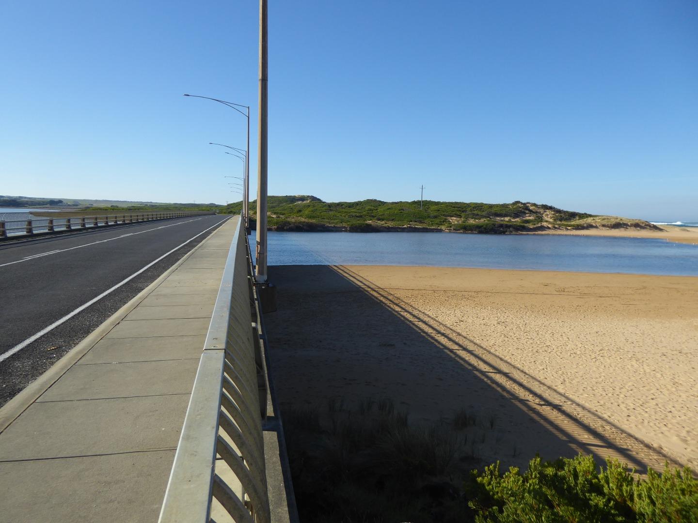
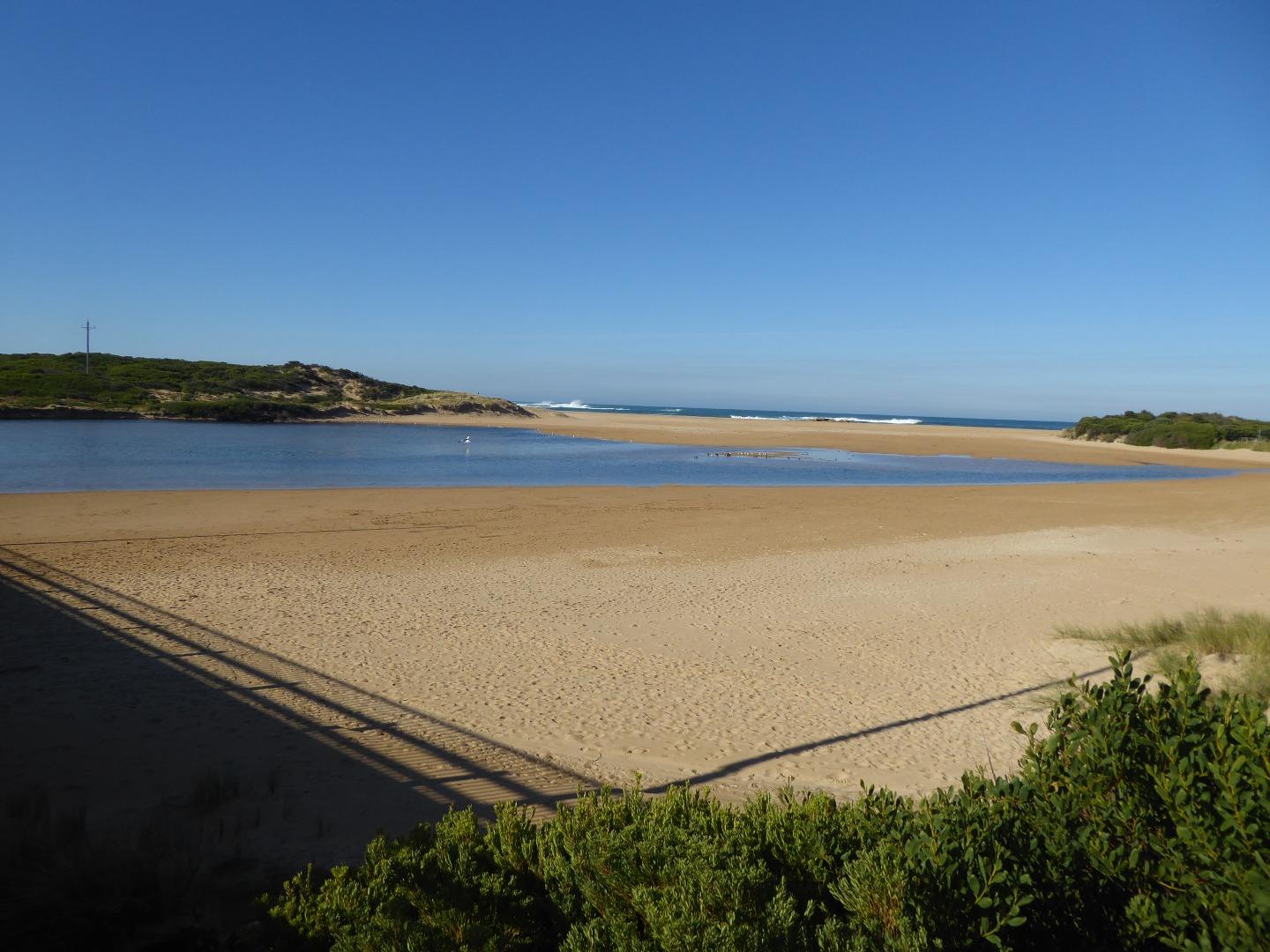
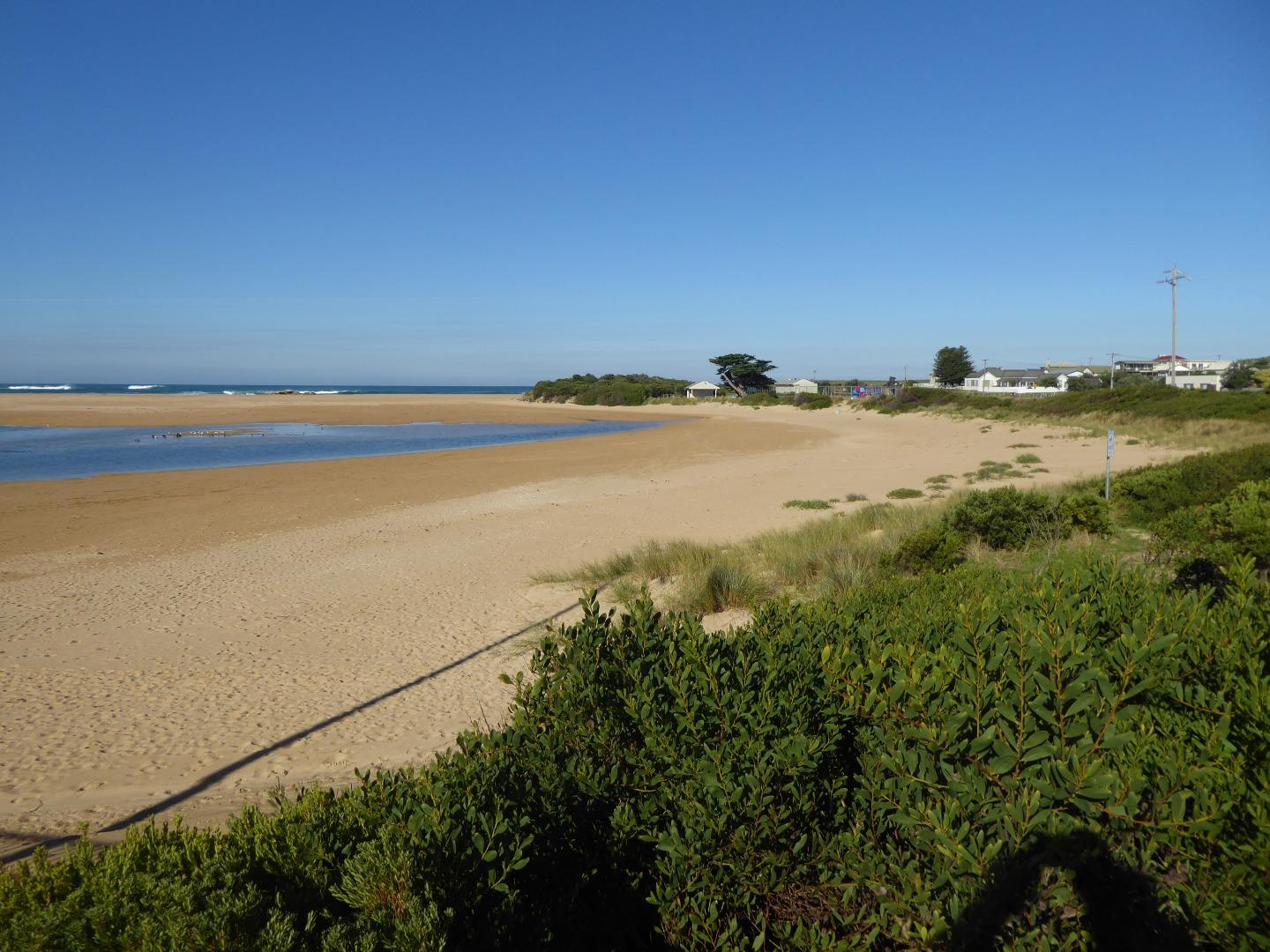
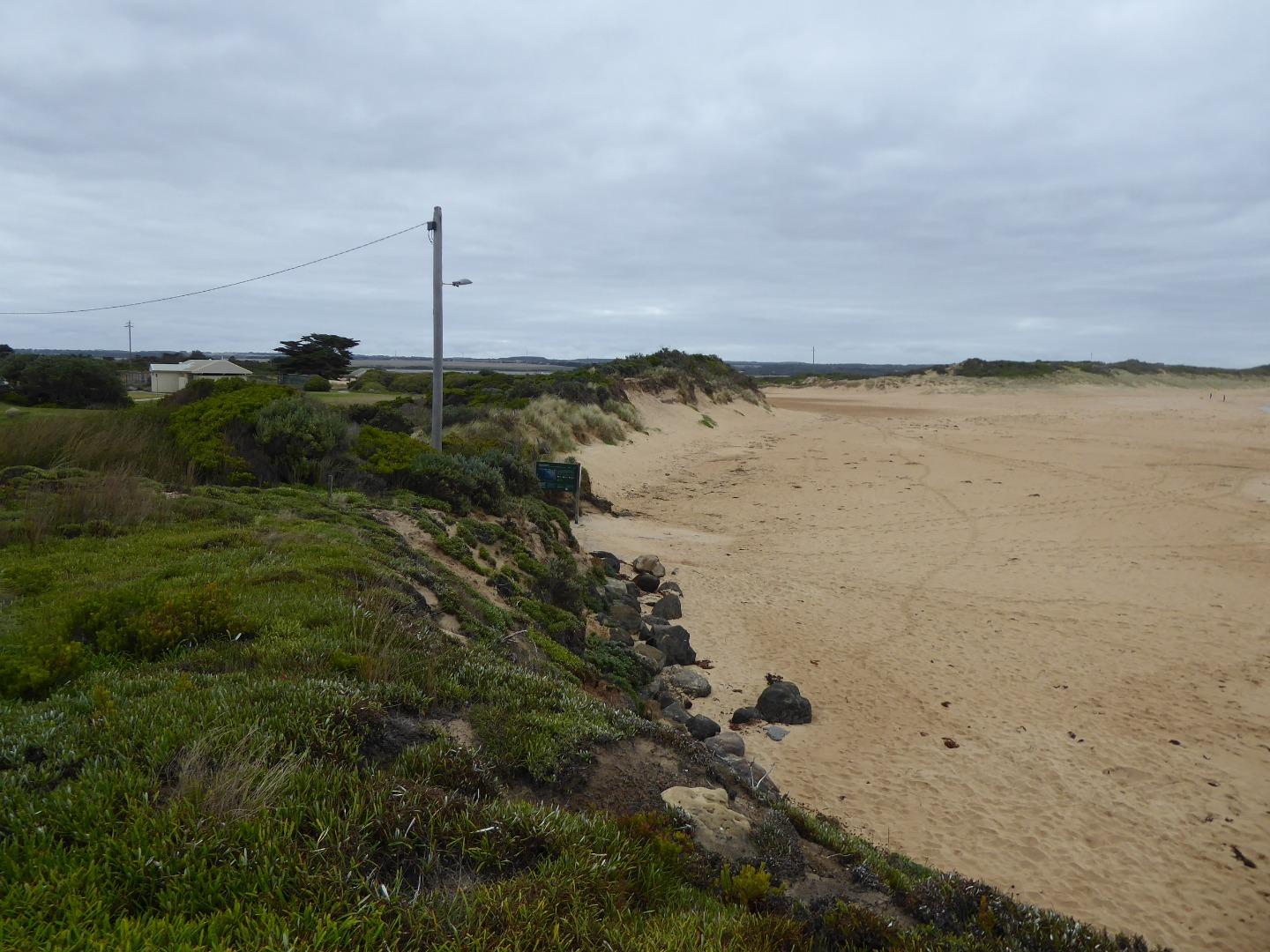
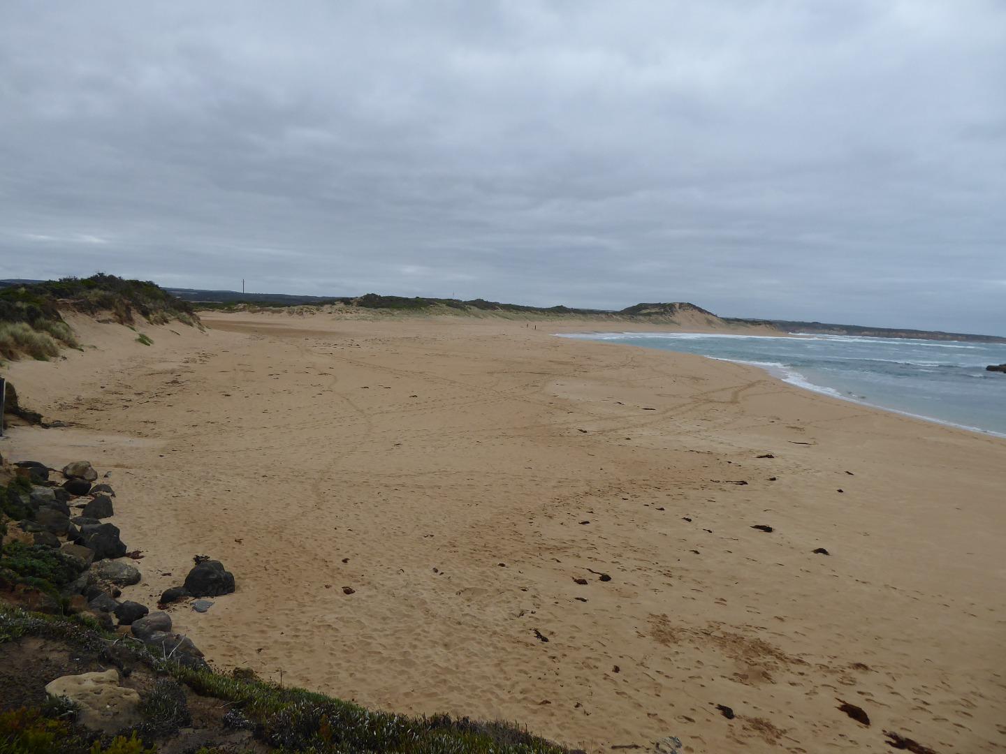
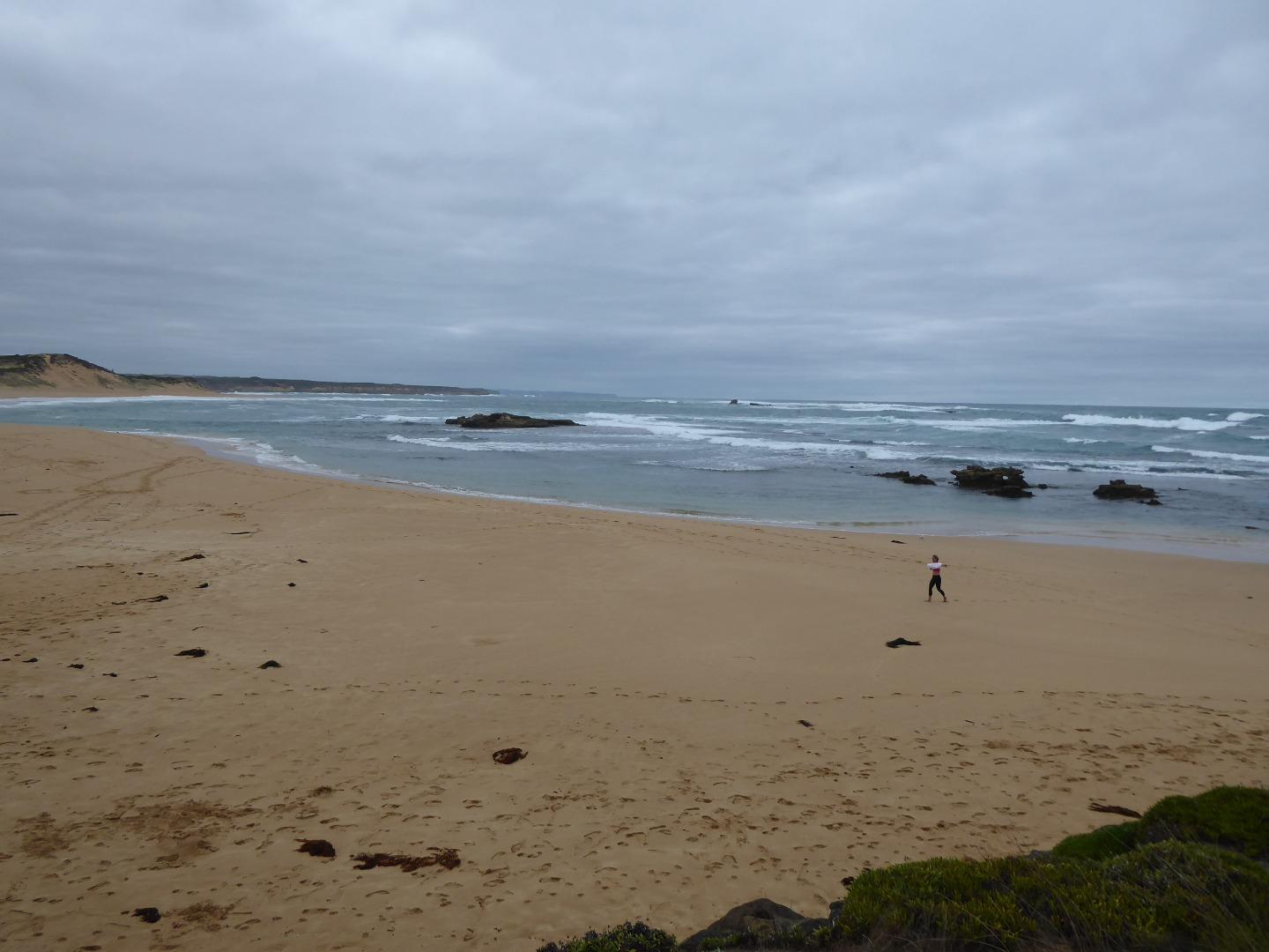
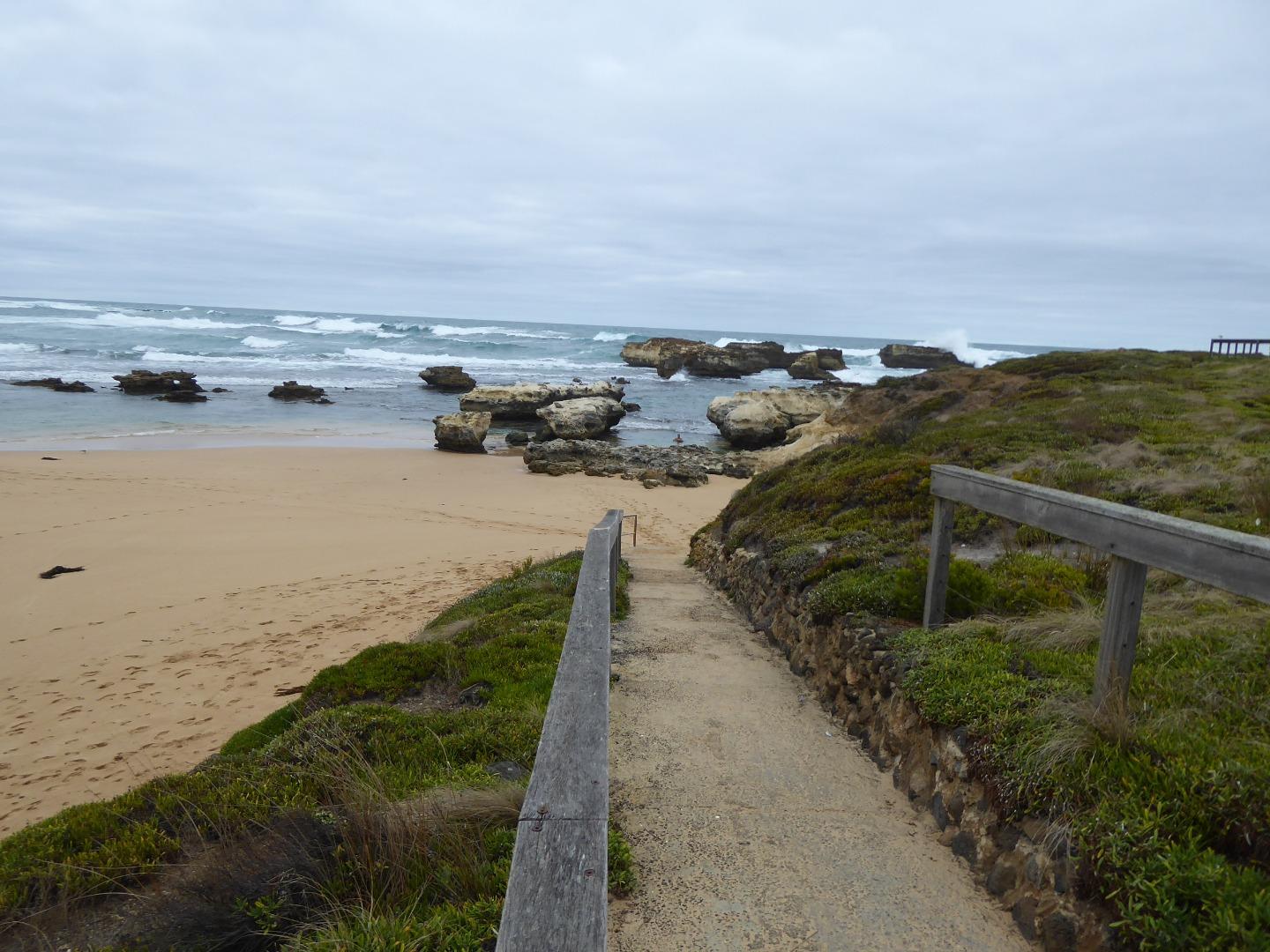
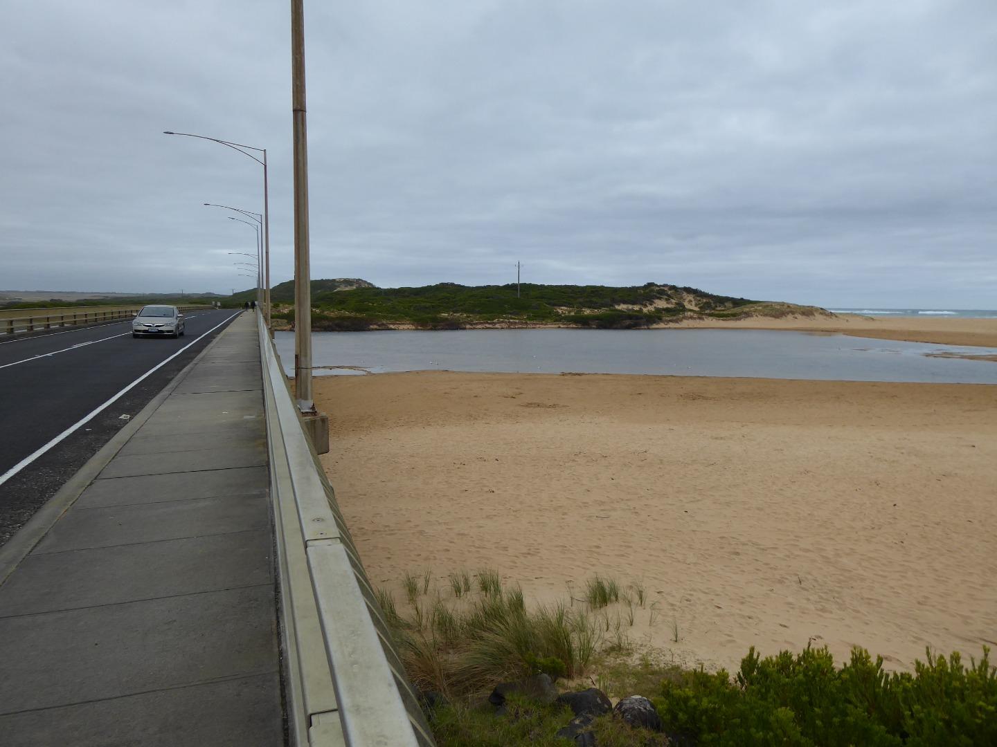
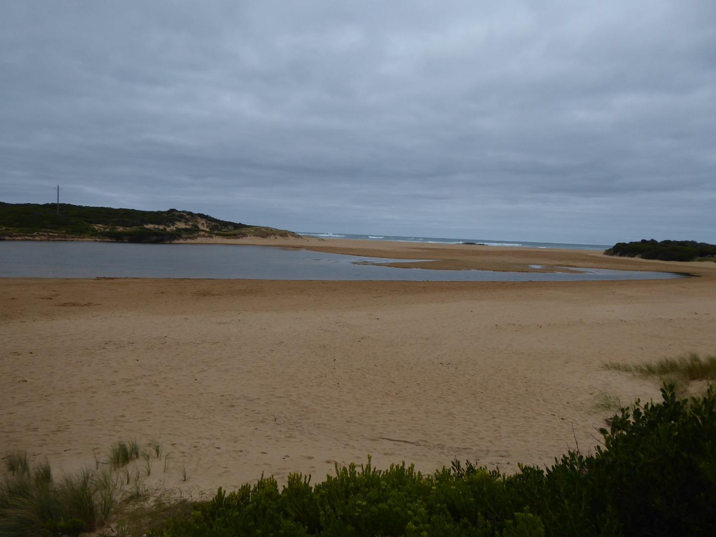
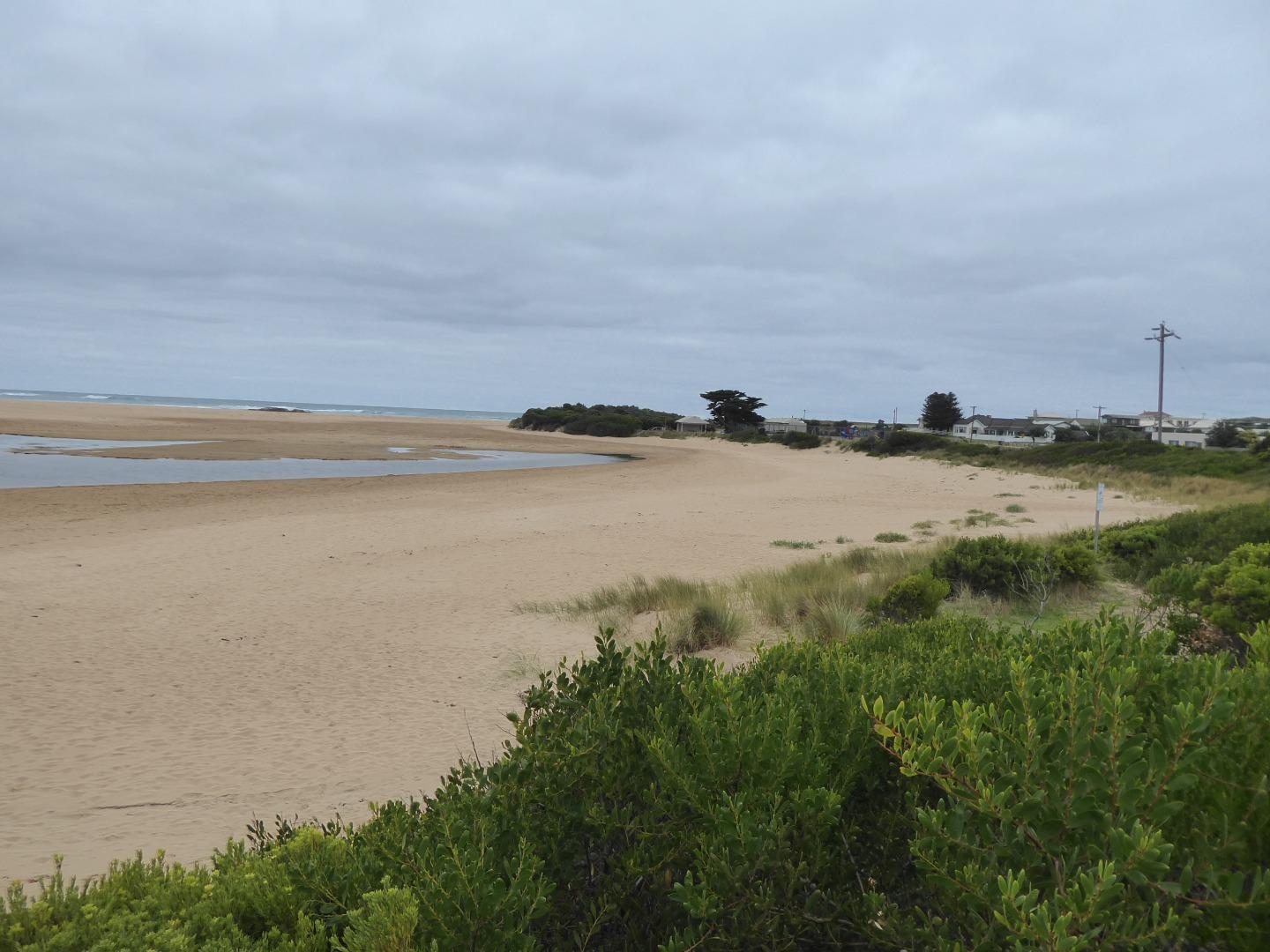
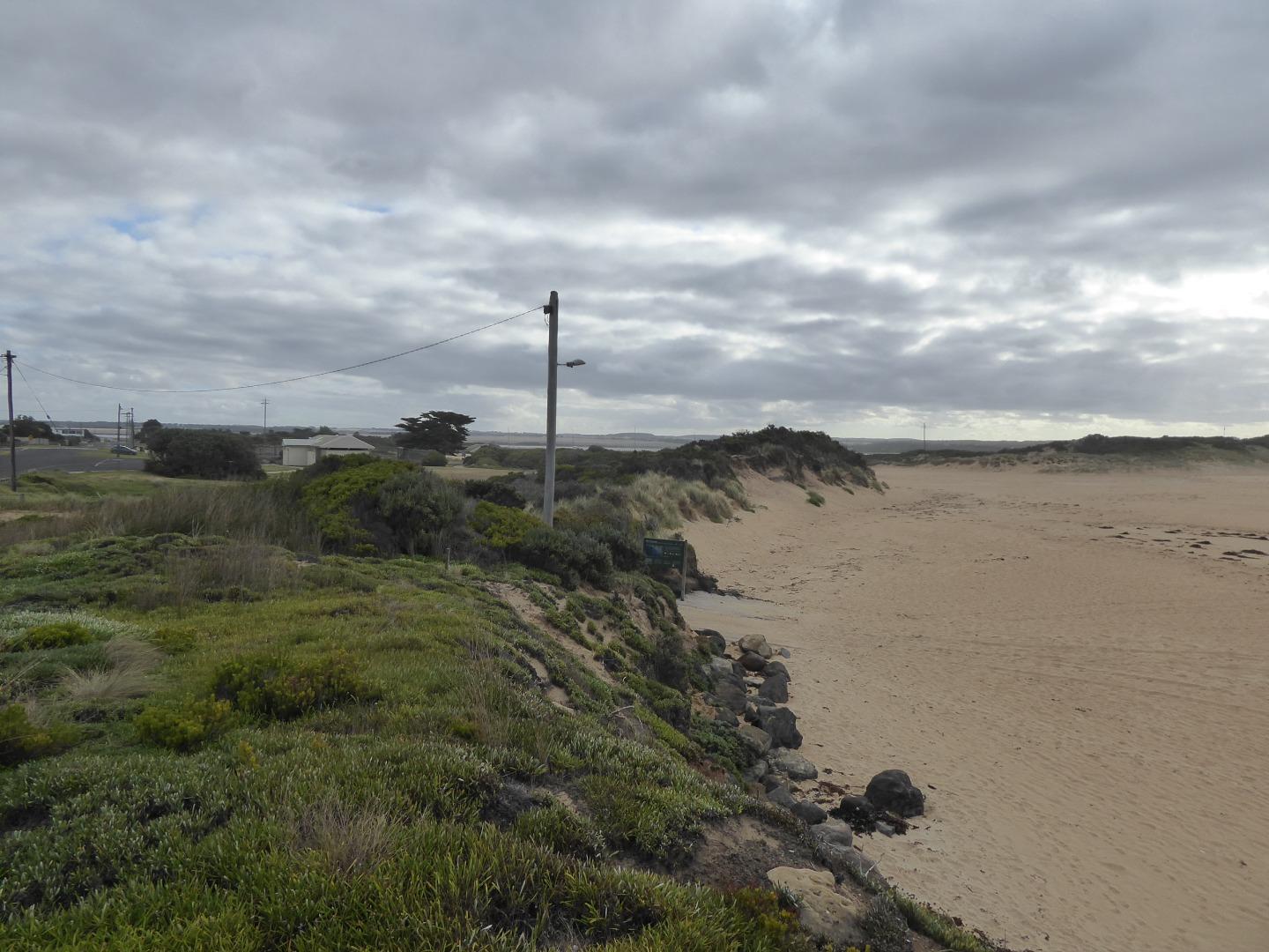
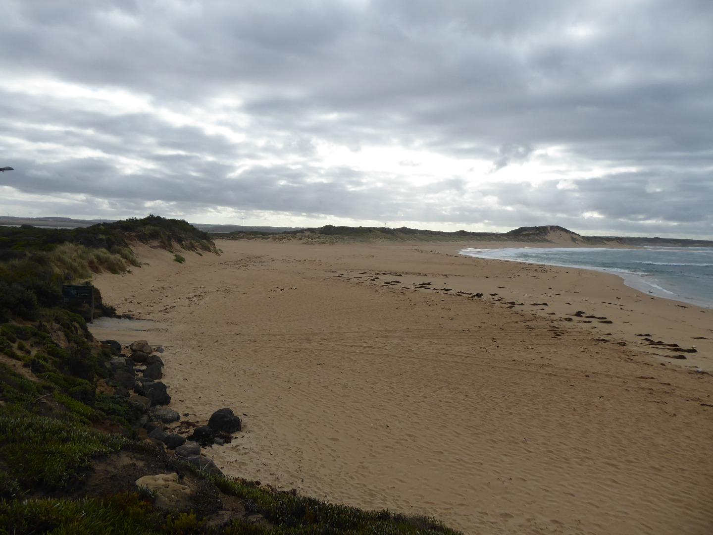
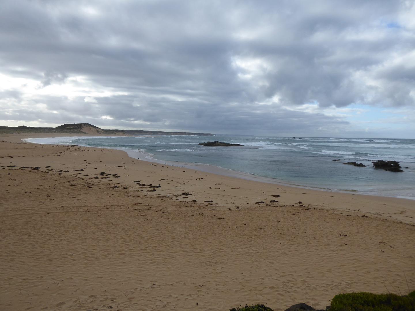
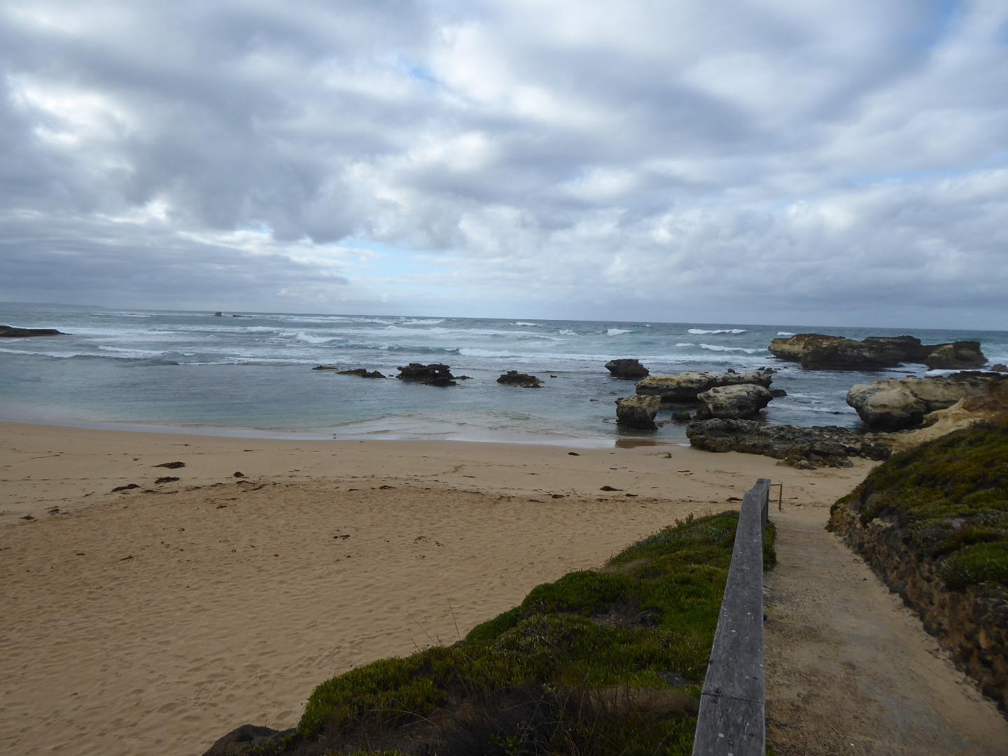
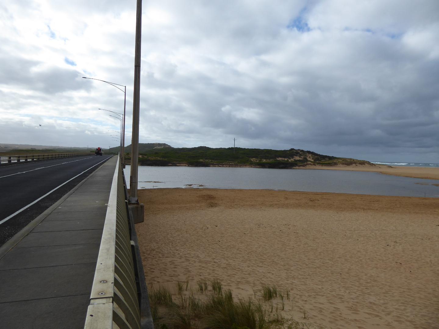
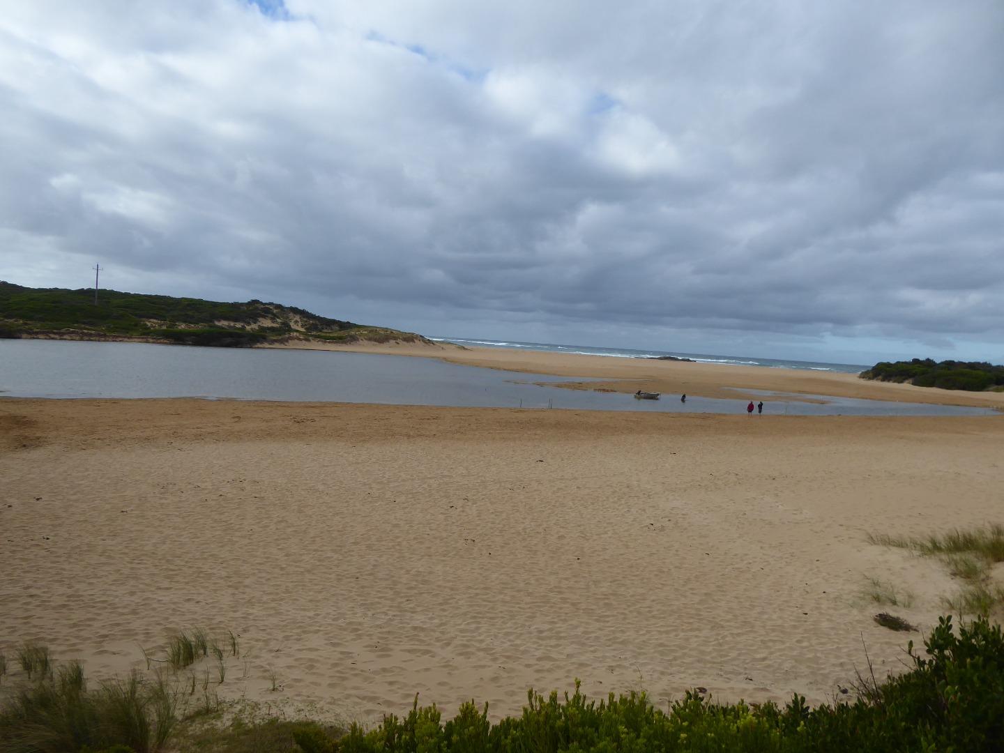
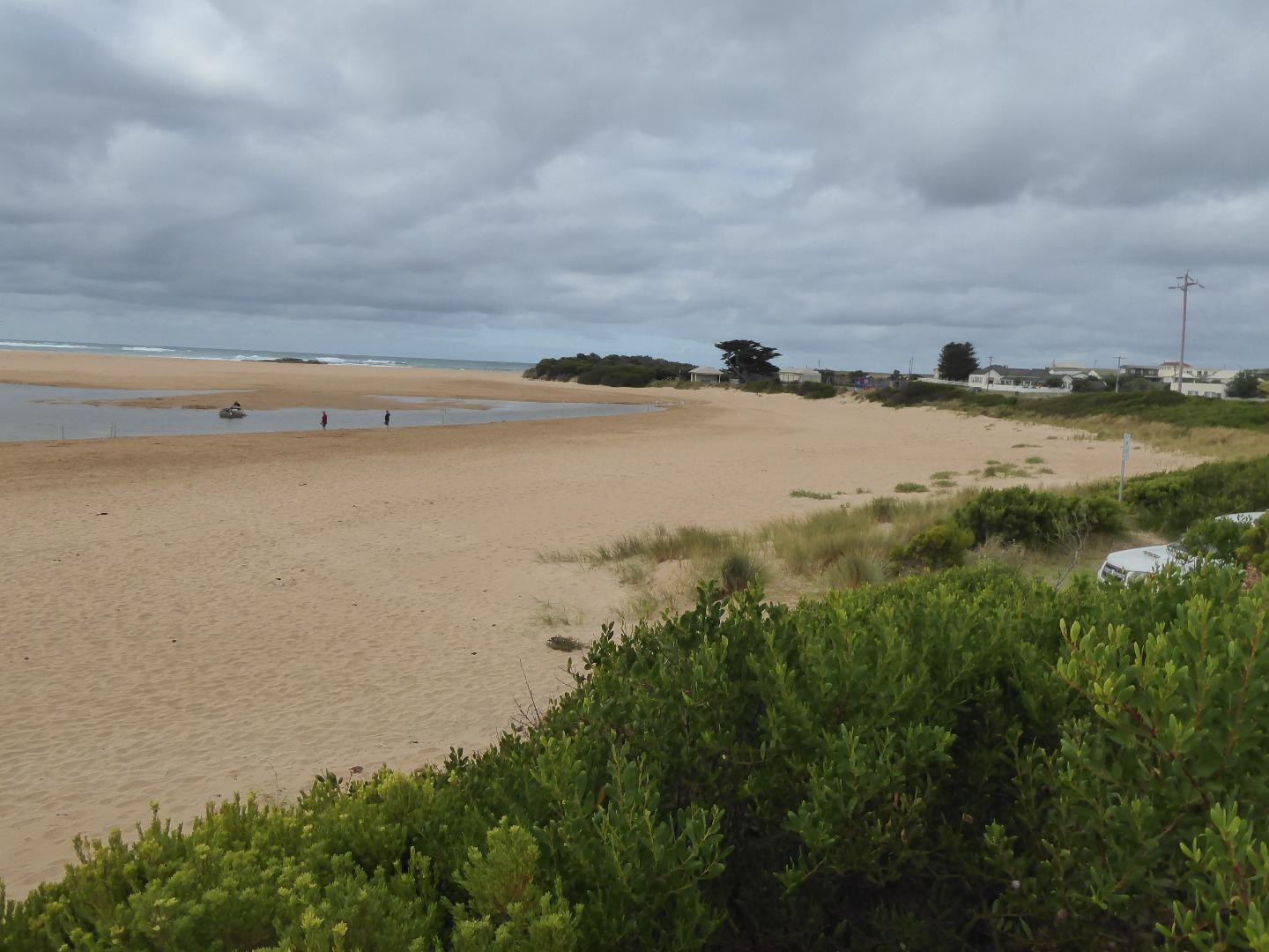
Active Mouth Condition 21-02-2014 - 02-04-2024Curdies River Estuary
| ID | Date | Status | Details | |
|---|---|---|---|---|
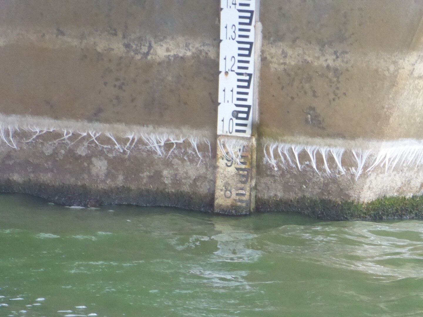
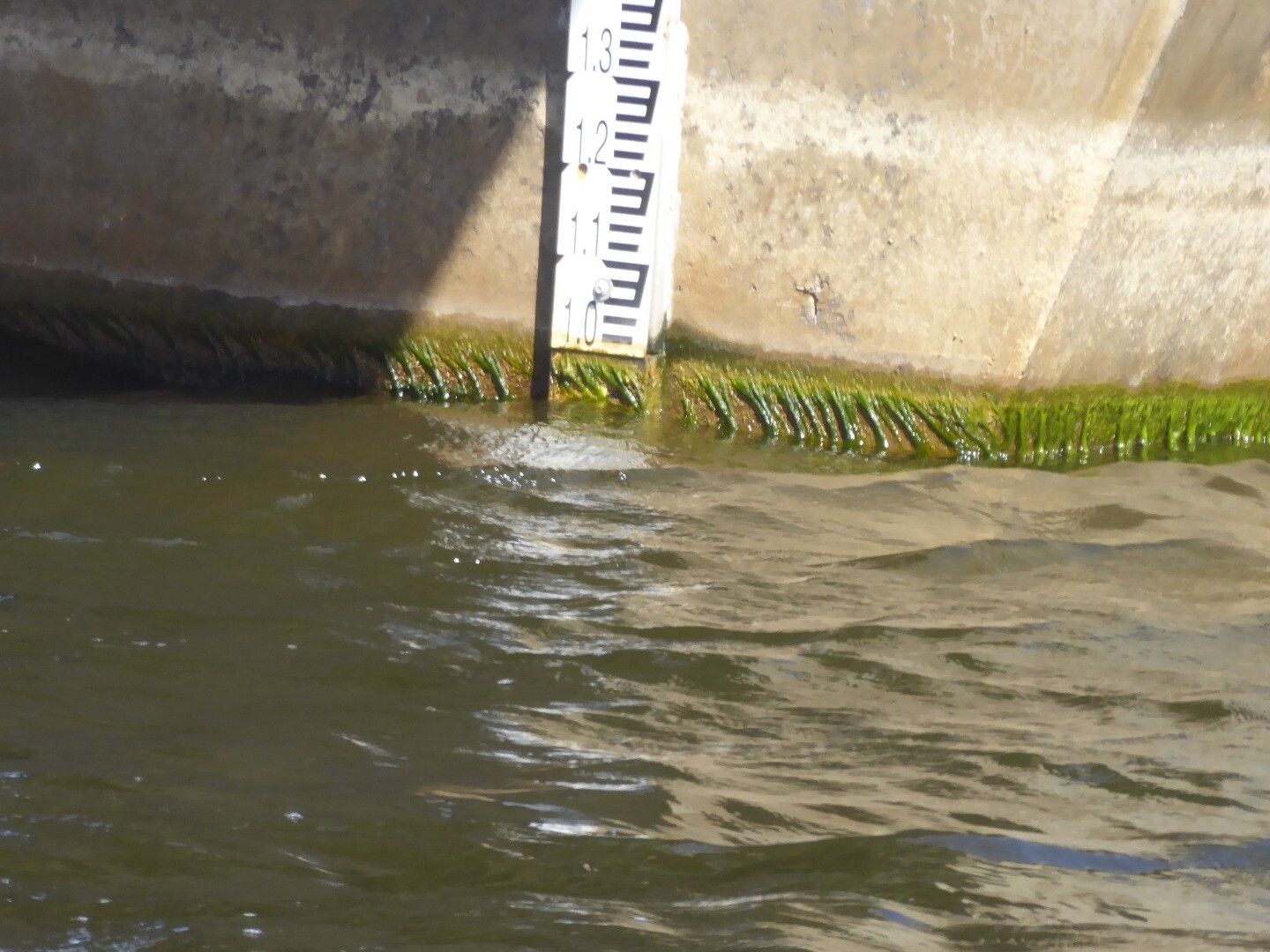
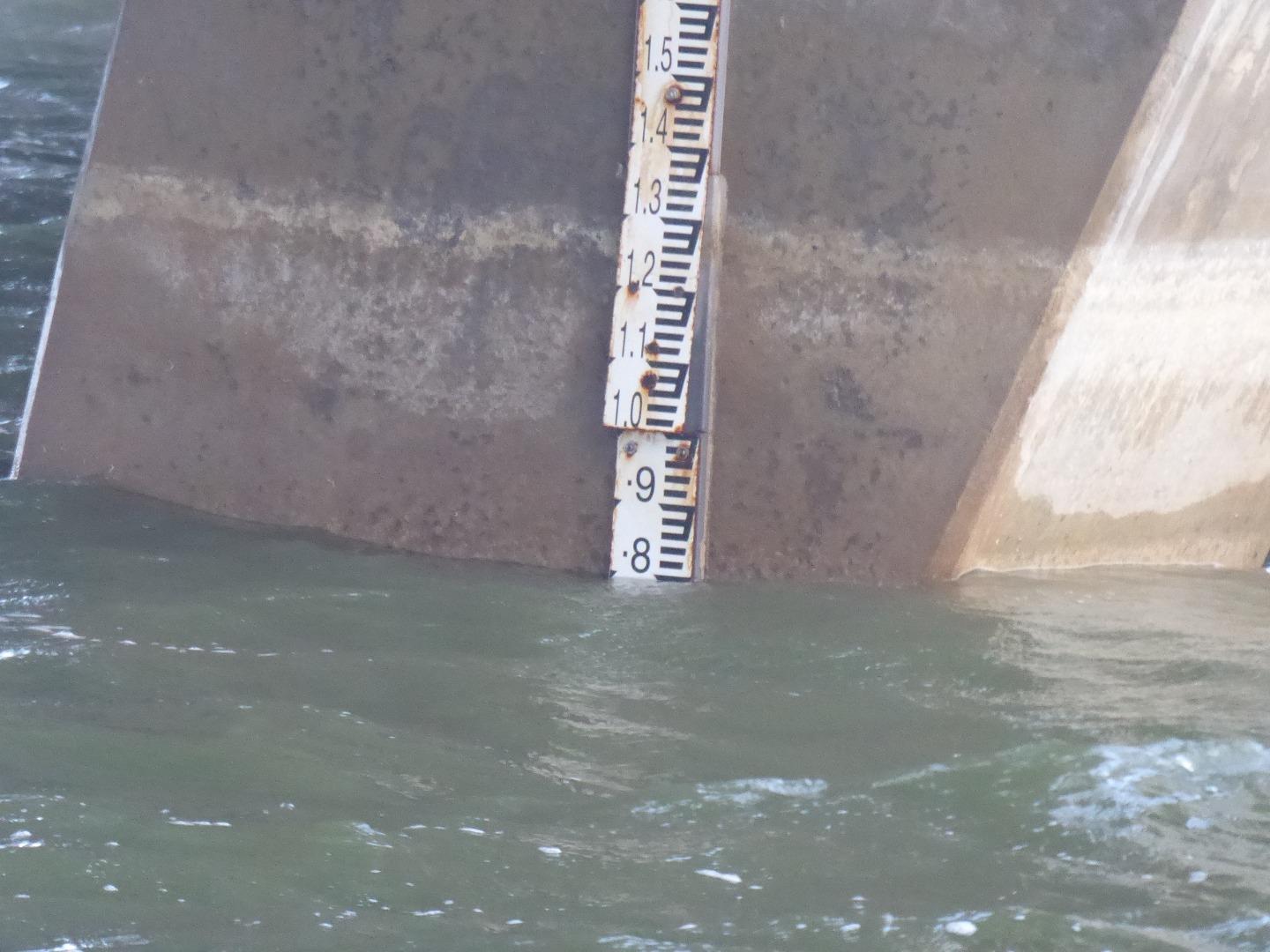
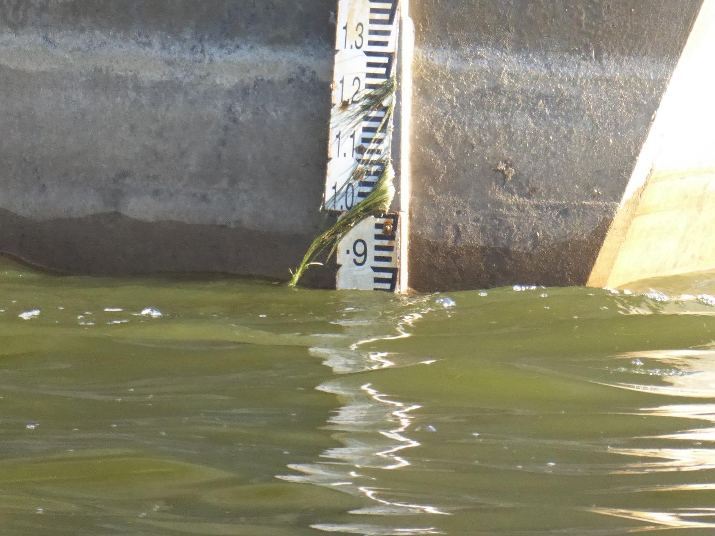
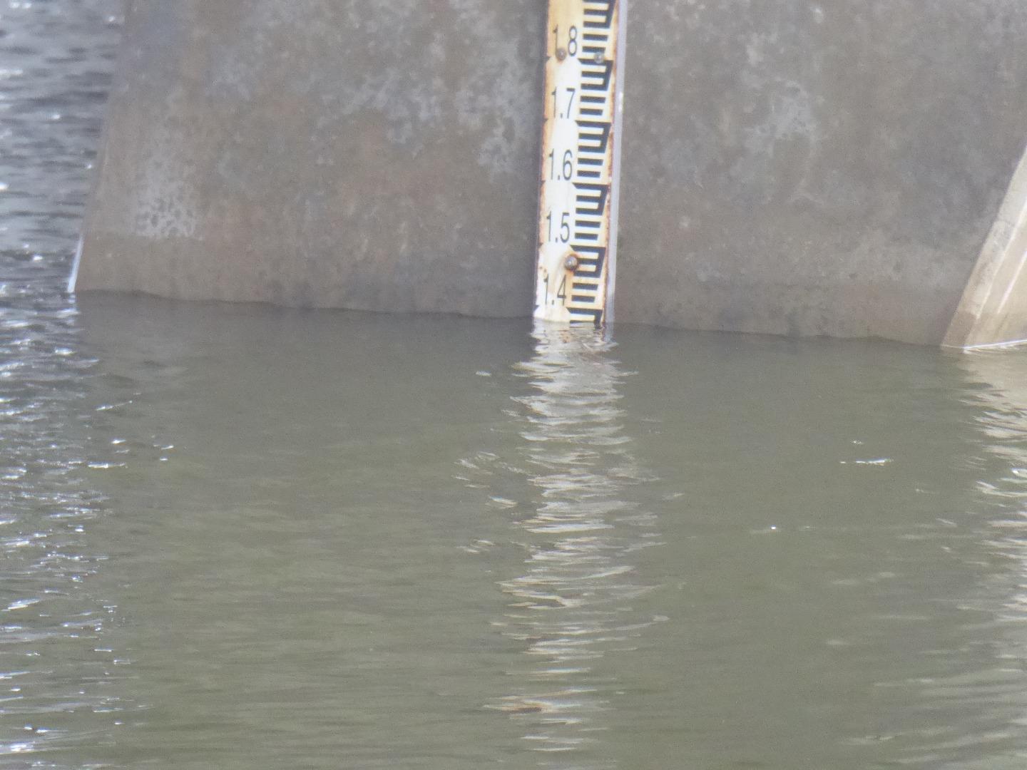
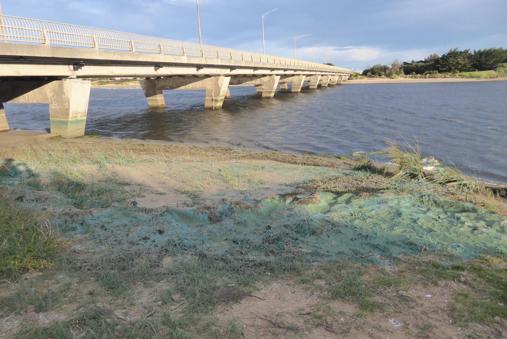
| #16084 | 2 Apr 2024 | Pending |
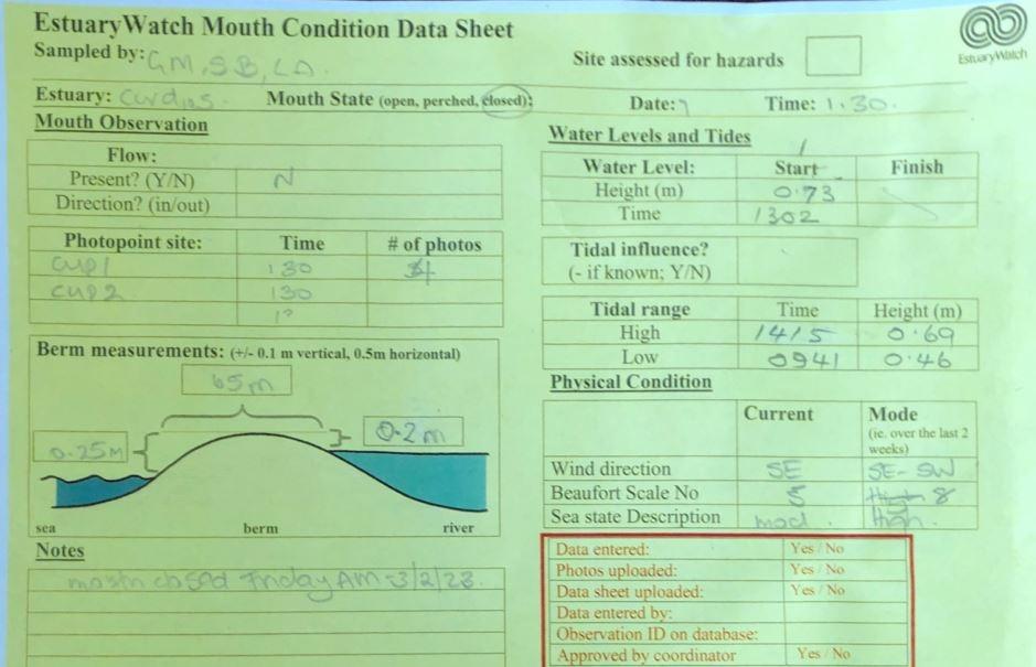
Notes:
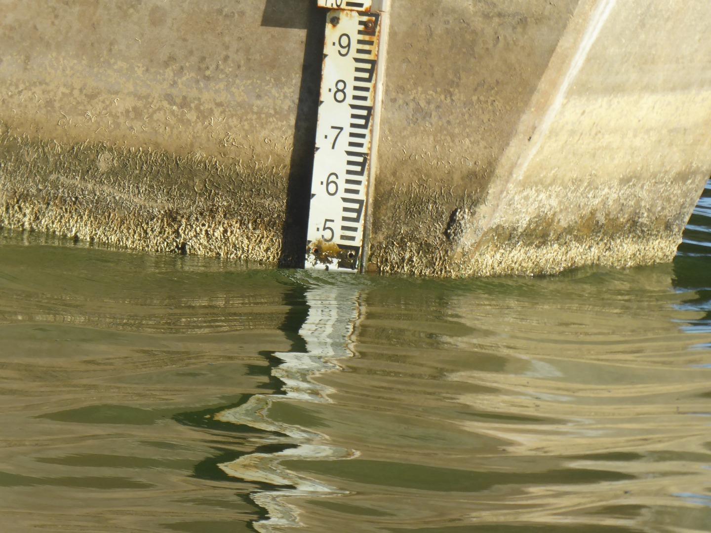
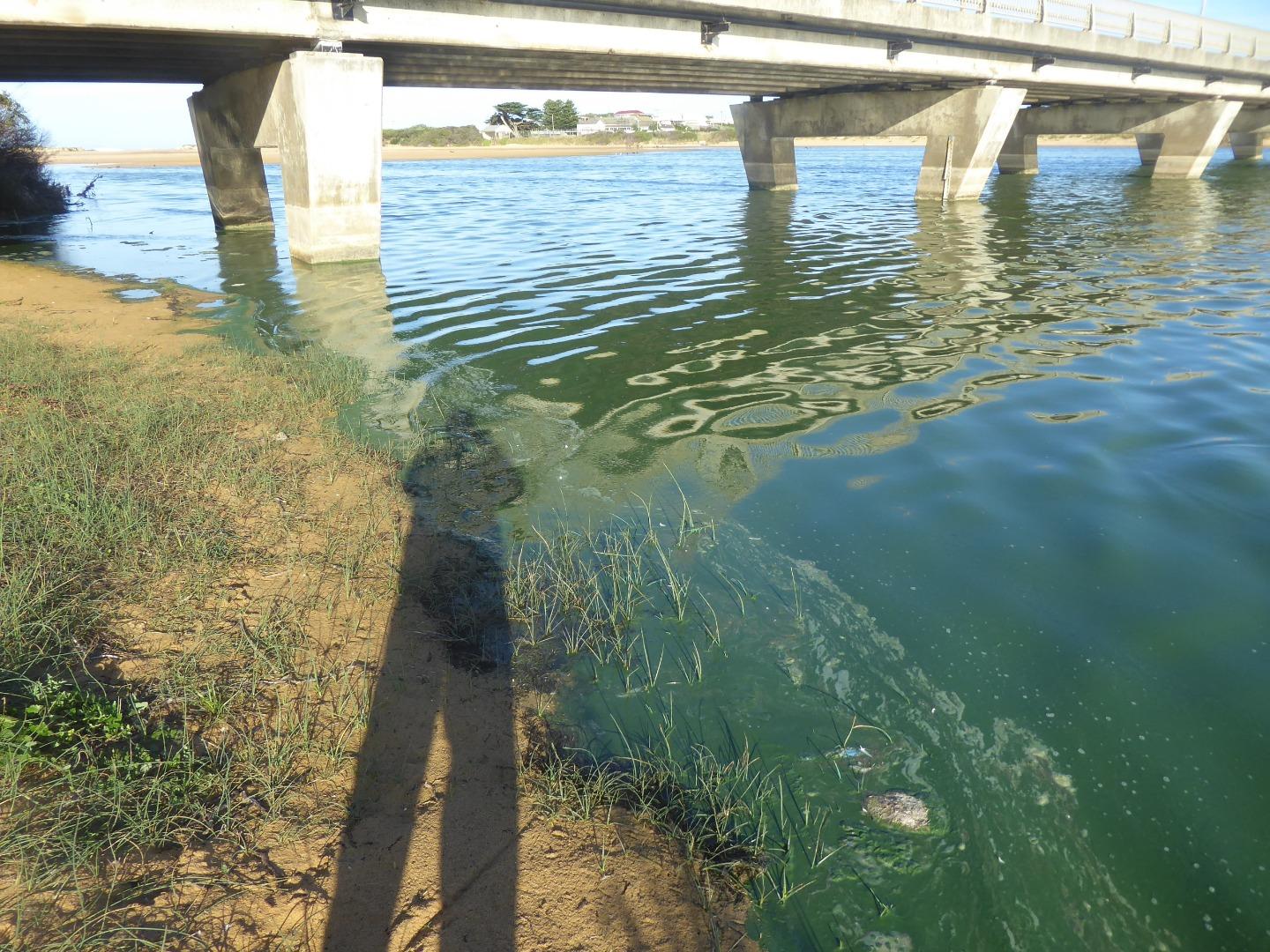
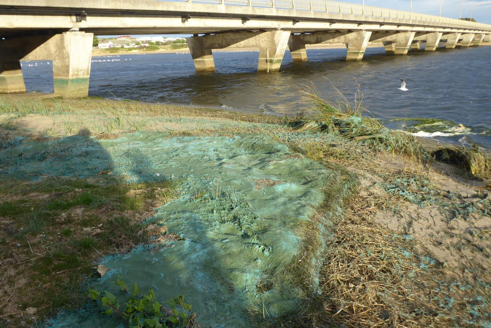
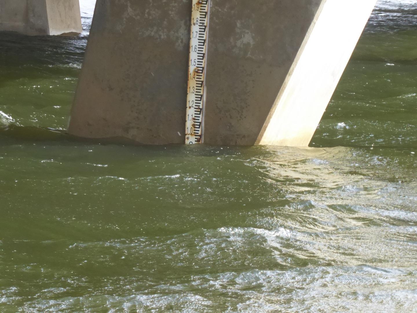
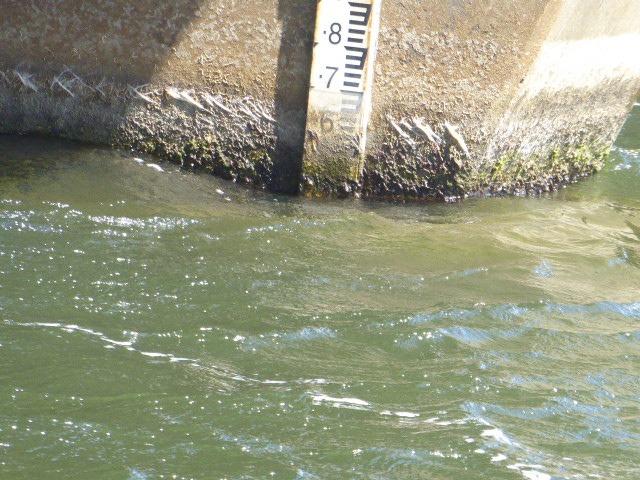
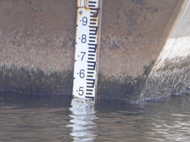
Blue-green algae is present along the edge of the estuary. |
|
| #16043 | 5 Mar 2024 | Pending | ||
| #15997 | 6 Feb 2024 | Pending | ||
| #15942 | 2 Jan 2024 | Approved | ||
| #15893 | 5 Dec 2023 | Approved | ||
| #15830 | 7 Nov 2023 | Approved | ||
| #15783 | 3 Oct 2023 | Approved |
 |
|
| #15735 | 5 Sep 2023 | Approved |
Notes:
Hach Multifunction meter did not register one of the probes when tested. We tested with one probe in the functioning side of the meter, then connected the other probe into the functioning port. |
|
| #15678 | 31 Jul 2023 | Approved | ||
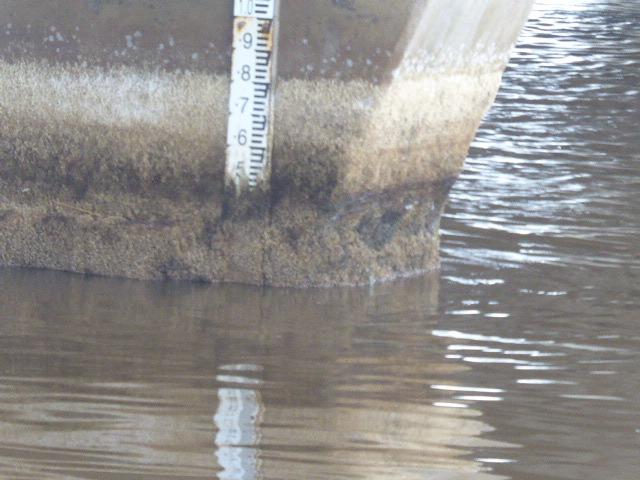
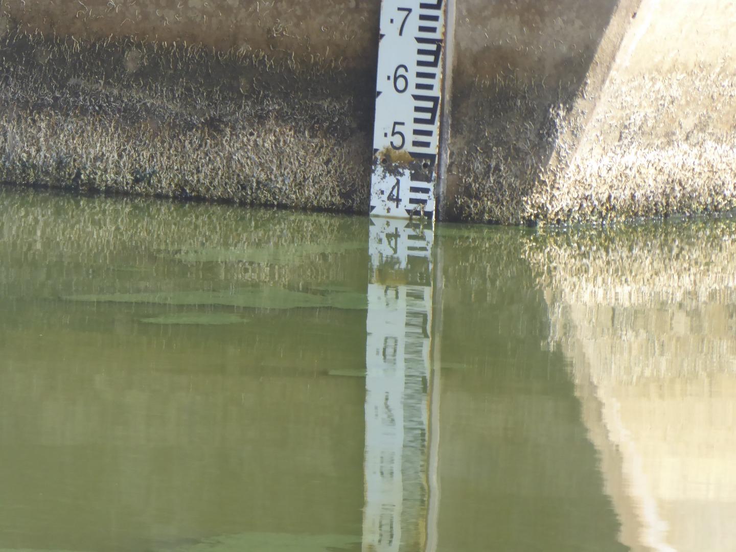
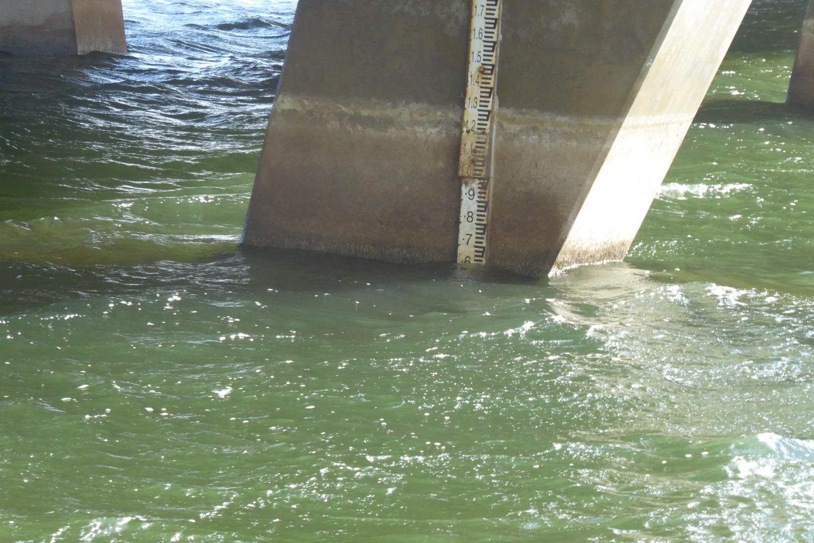
| #15615 | 4 Jul 2023 | Approved |
Notes:
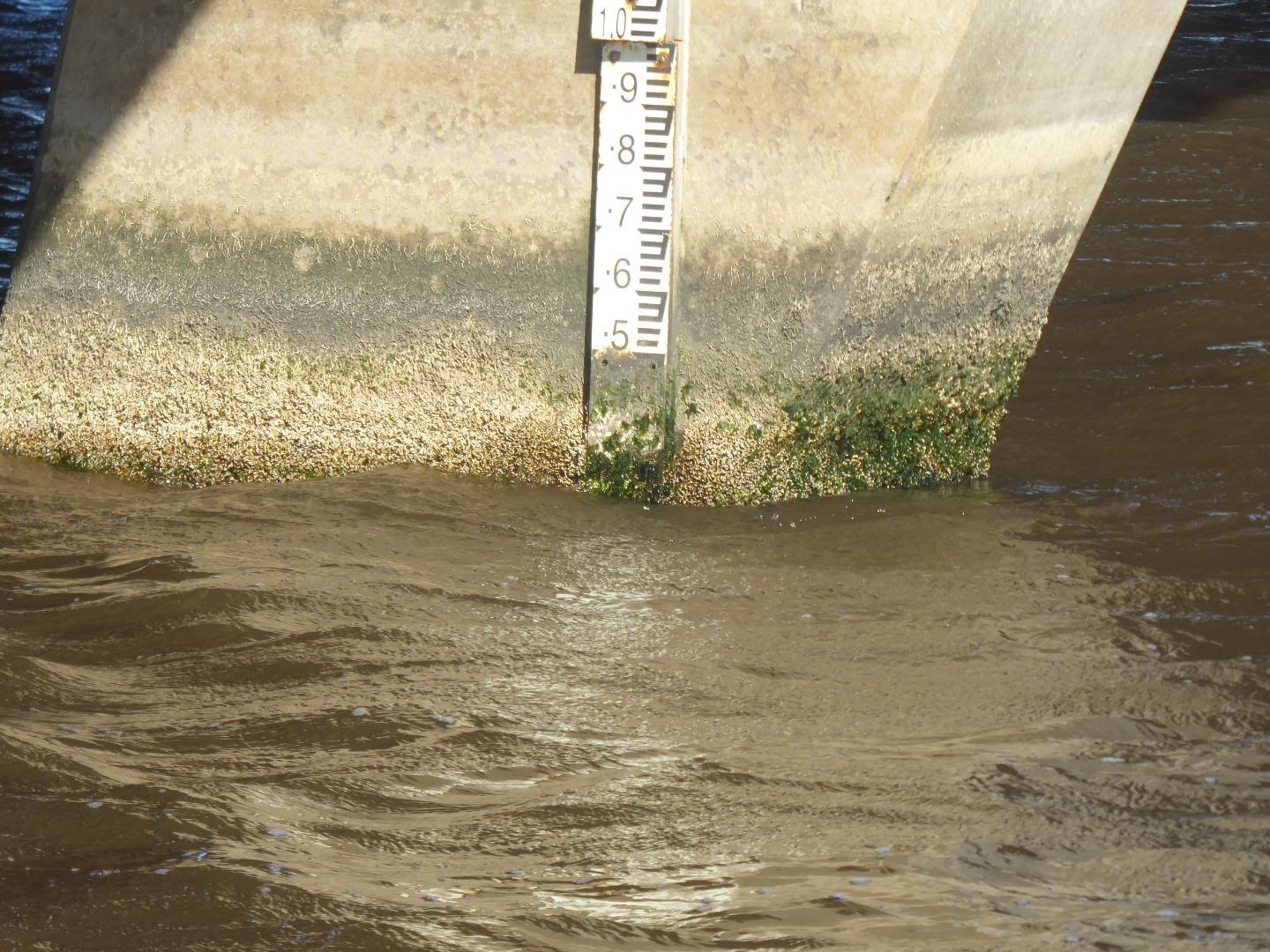
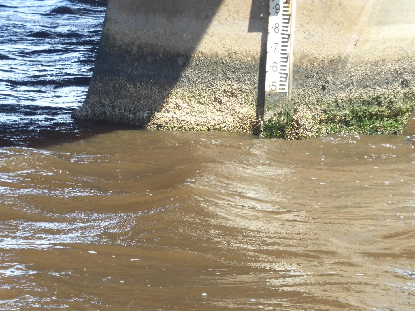
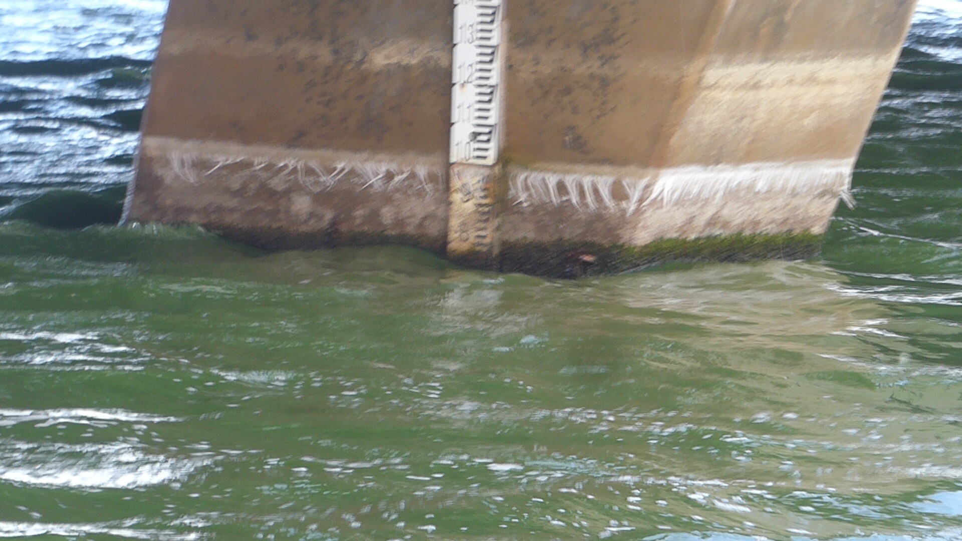
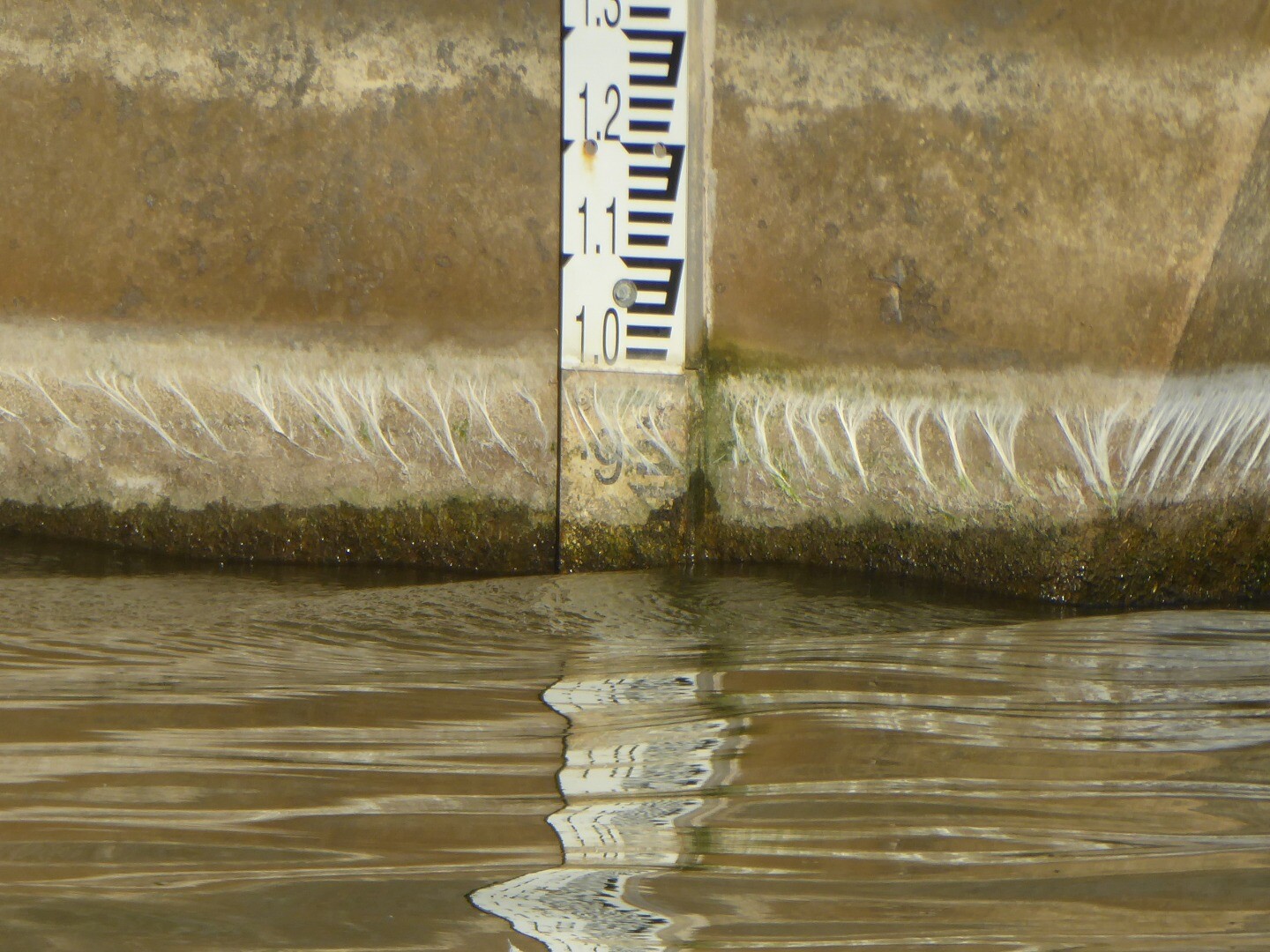
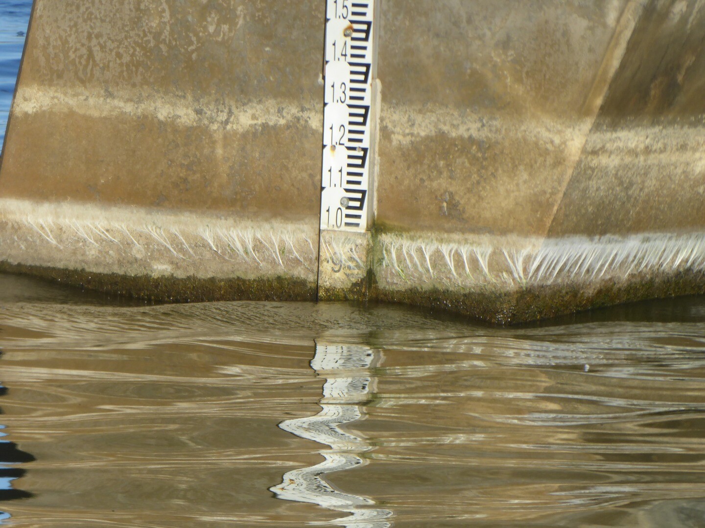
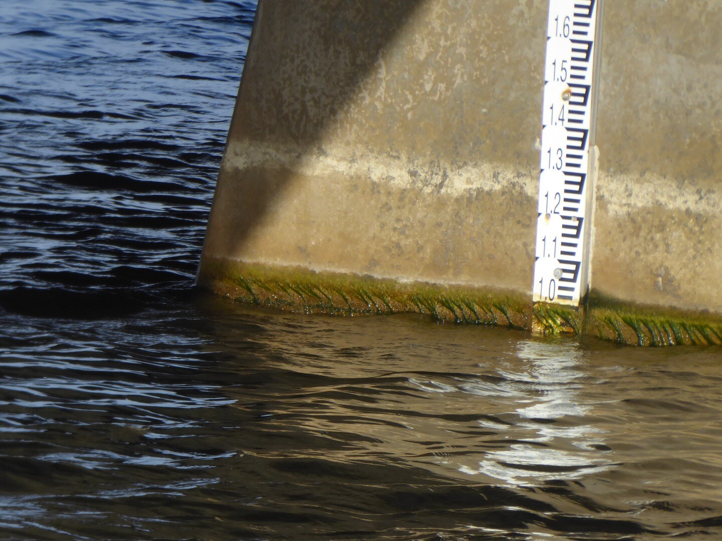
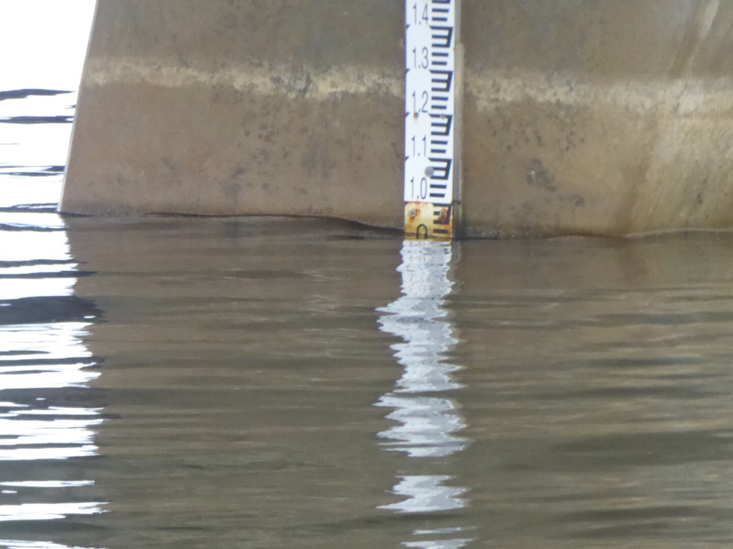
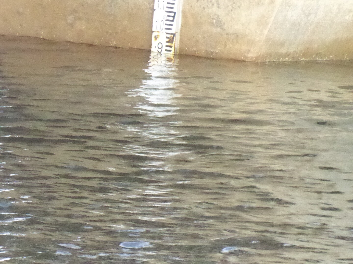
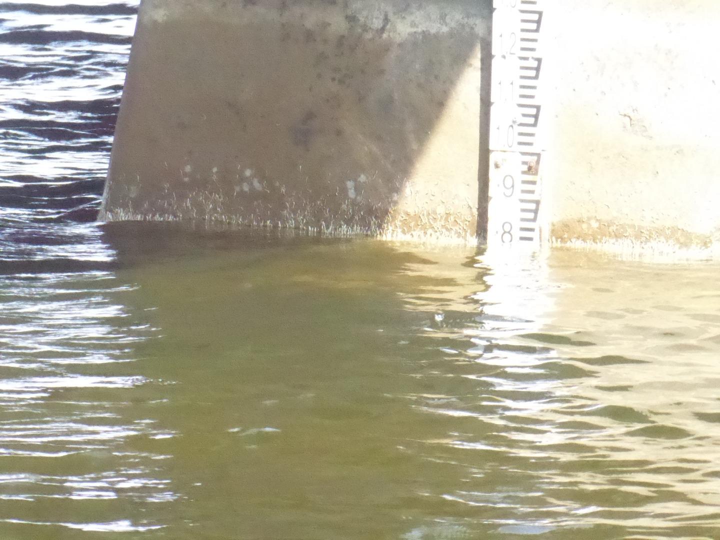
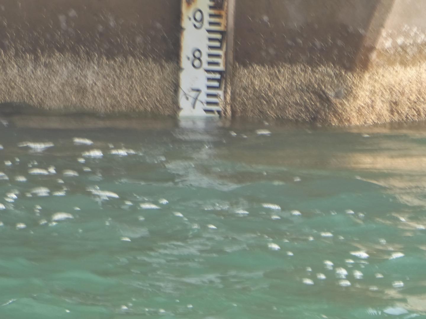
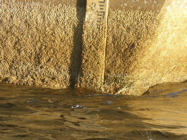
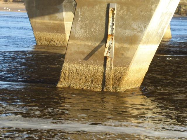
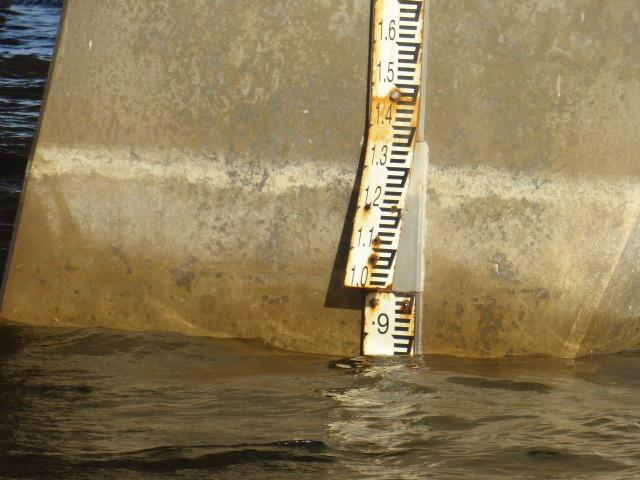
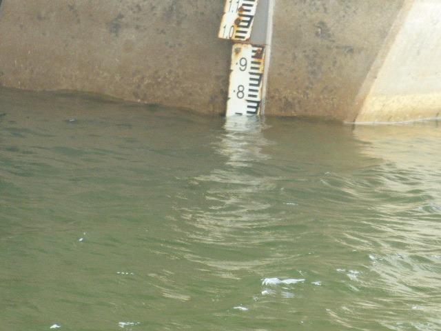
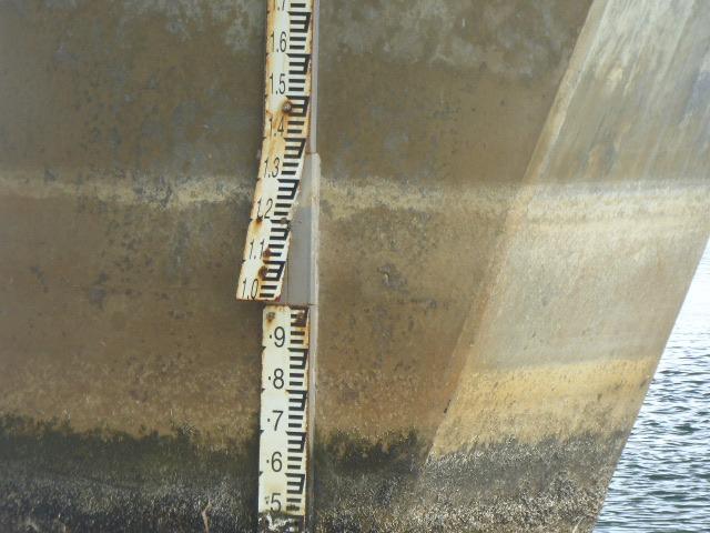
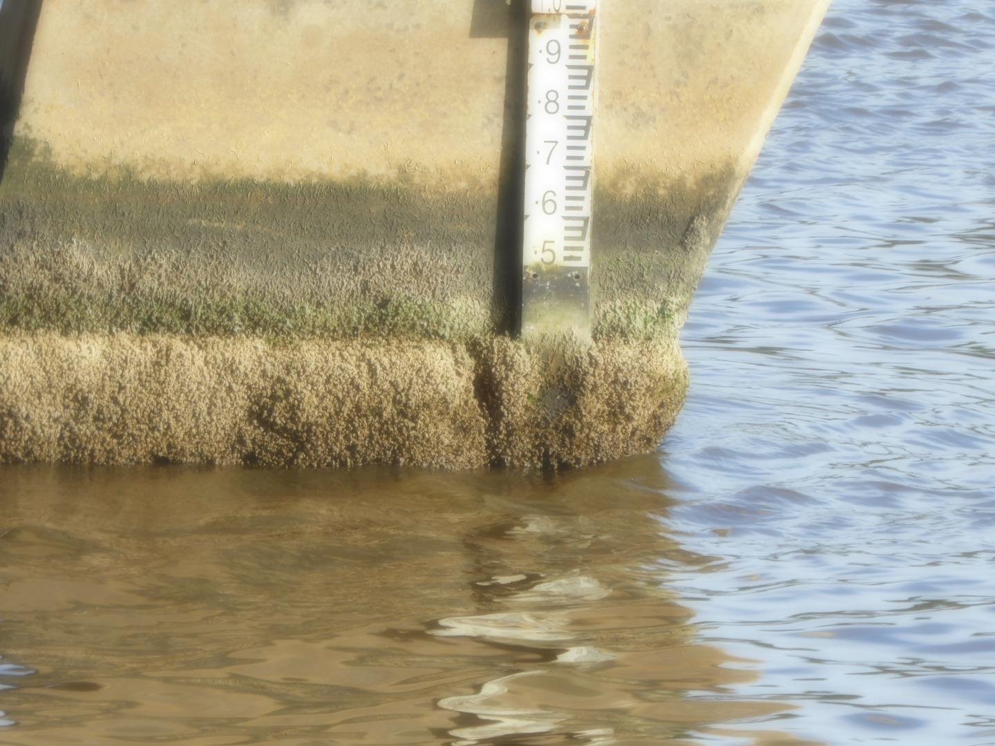
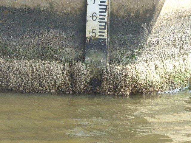
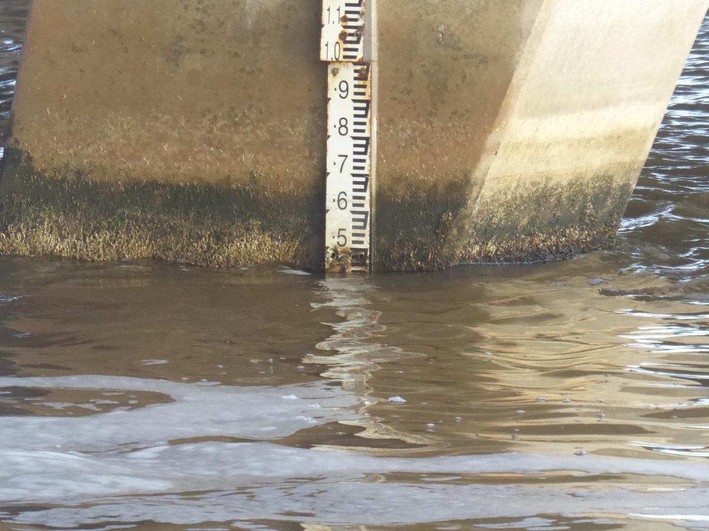
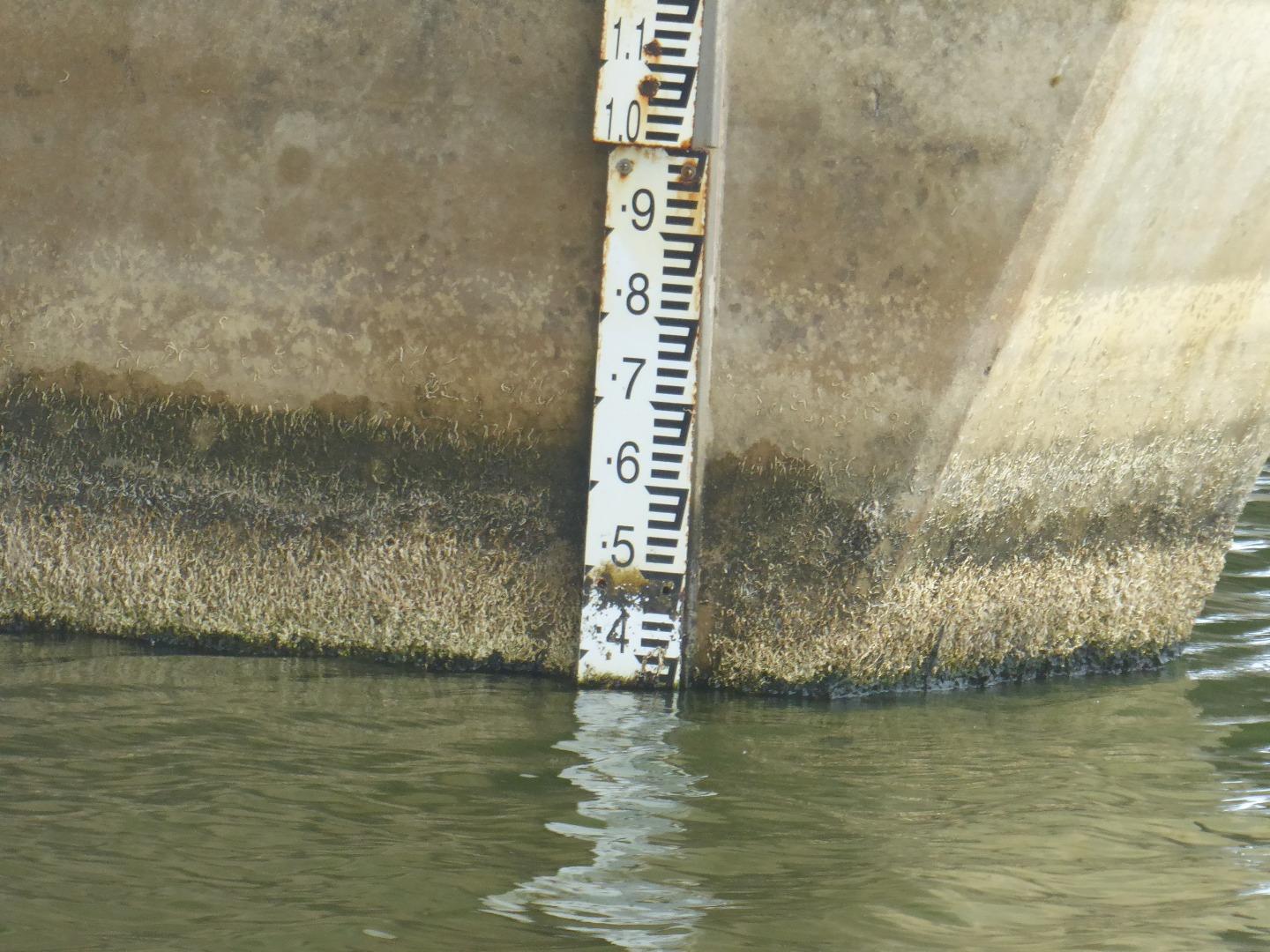
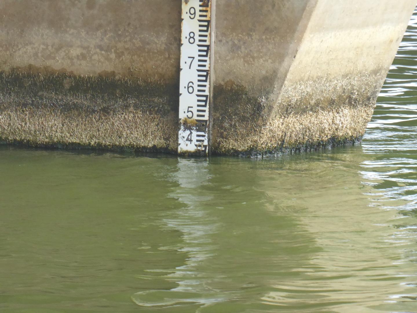
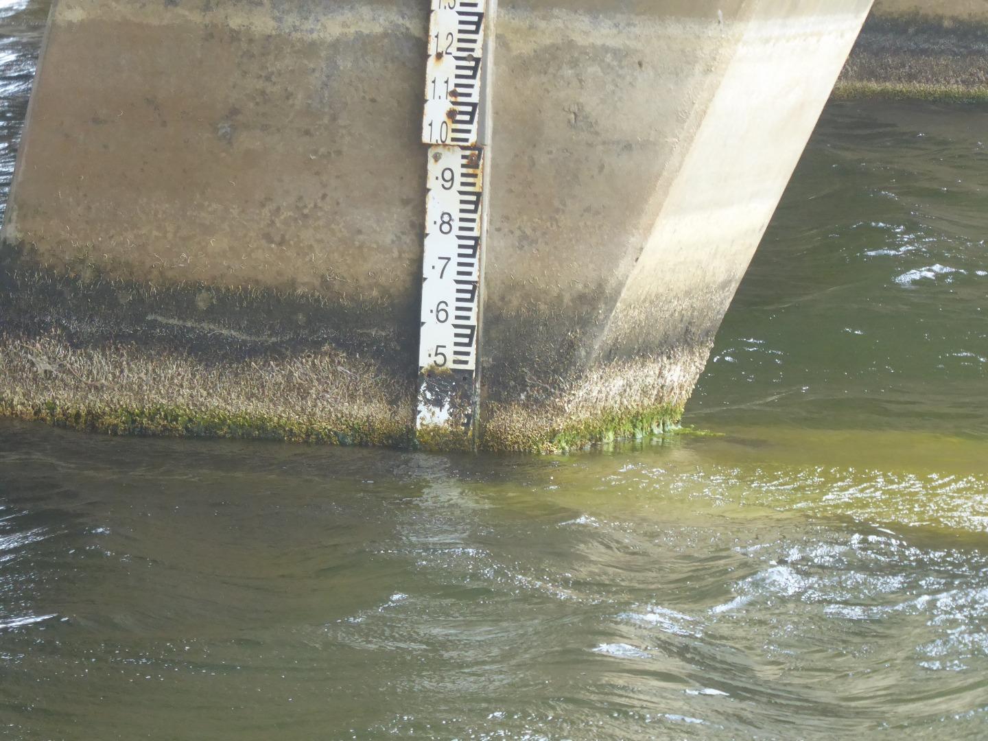
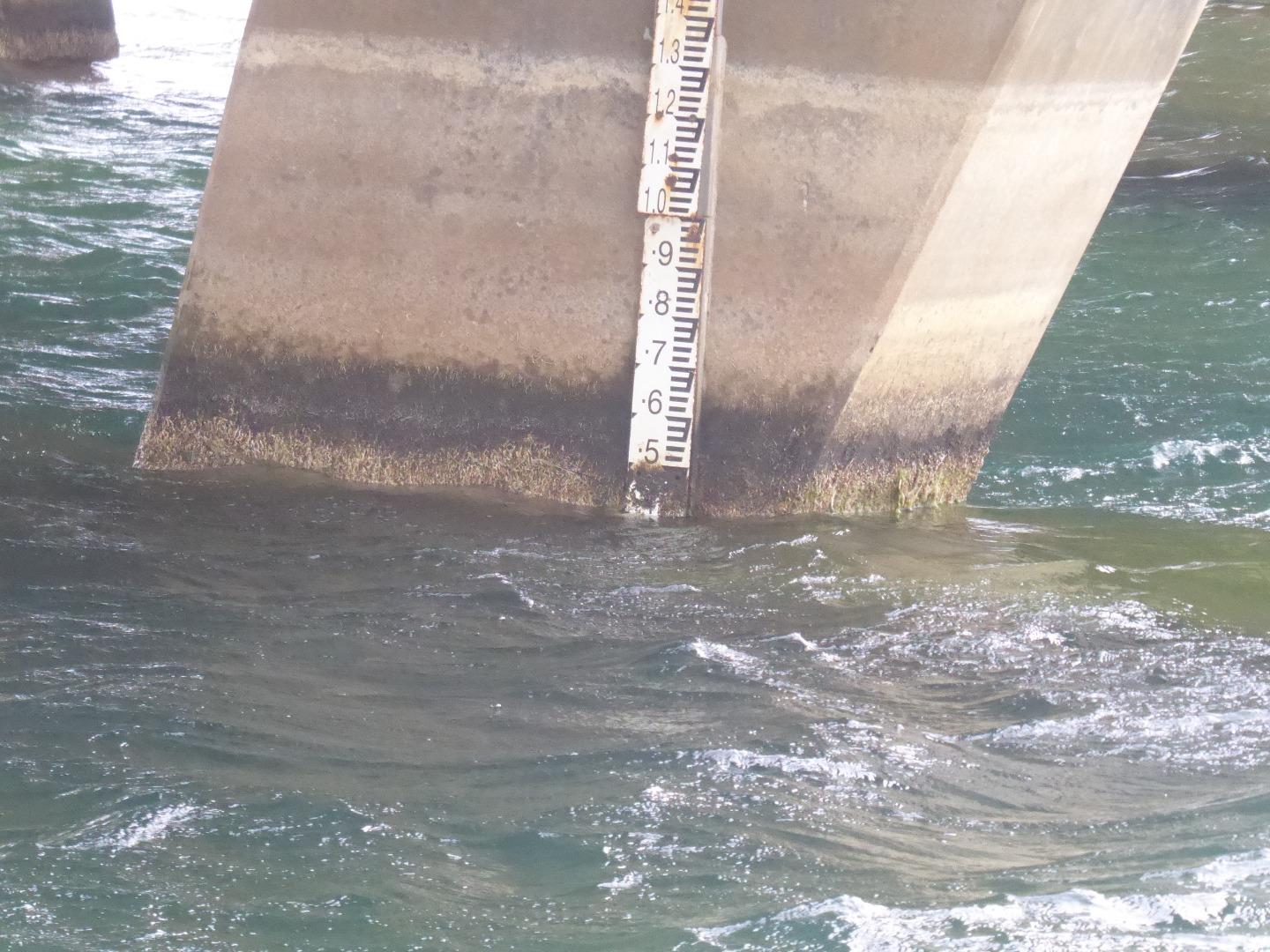
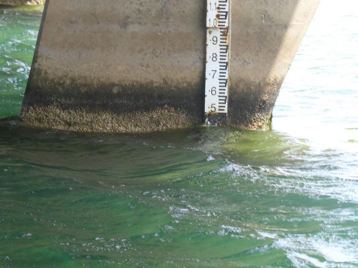
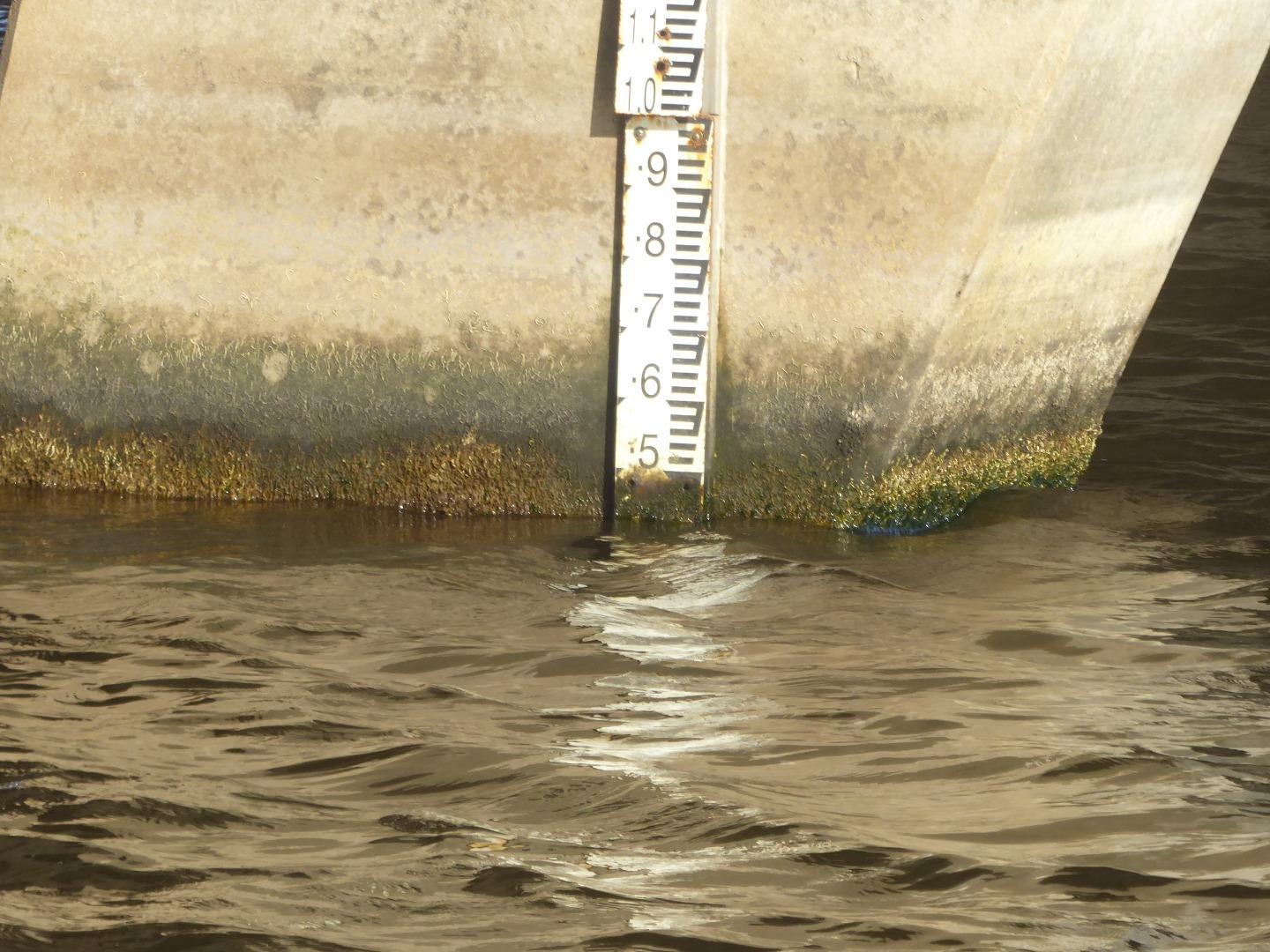
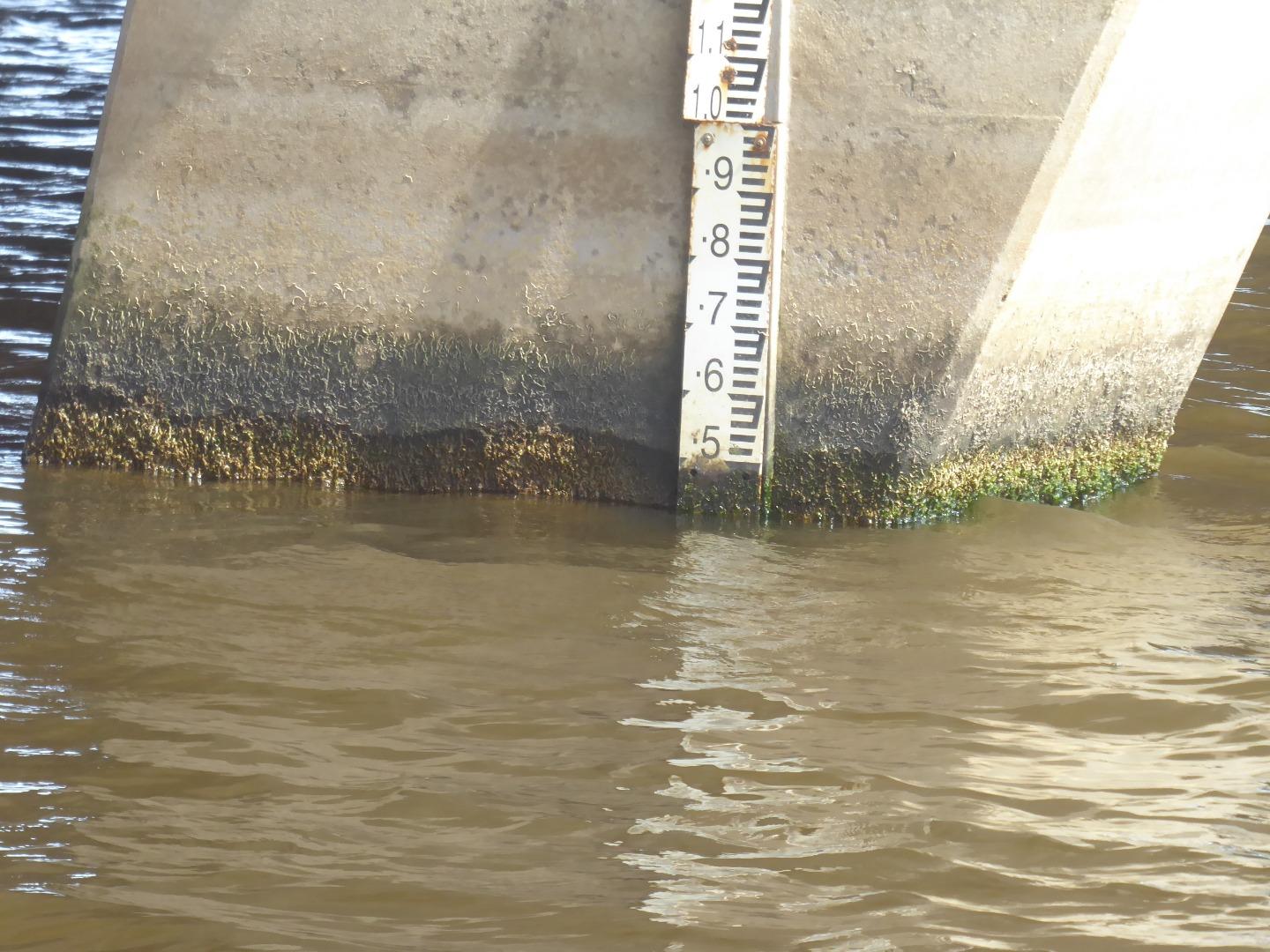
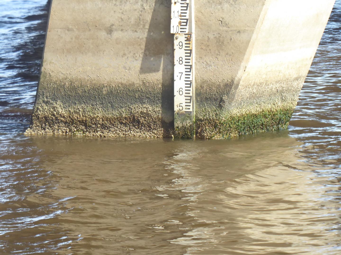
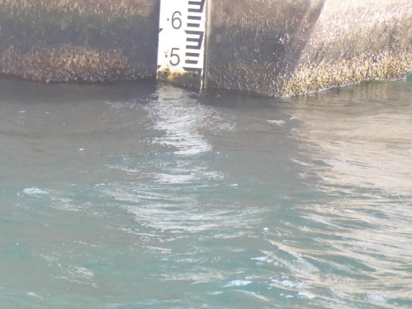
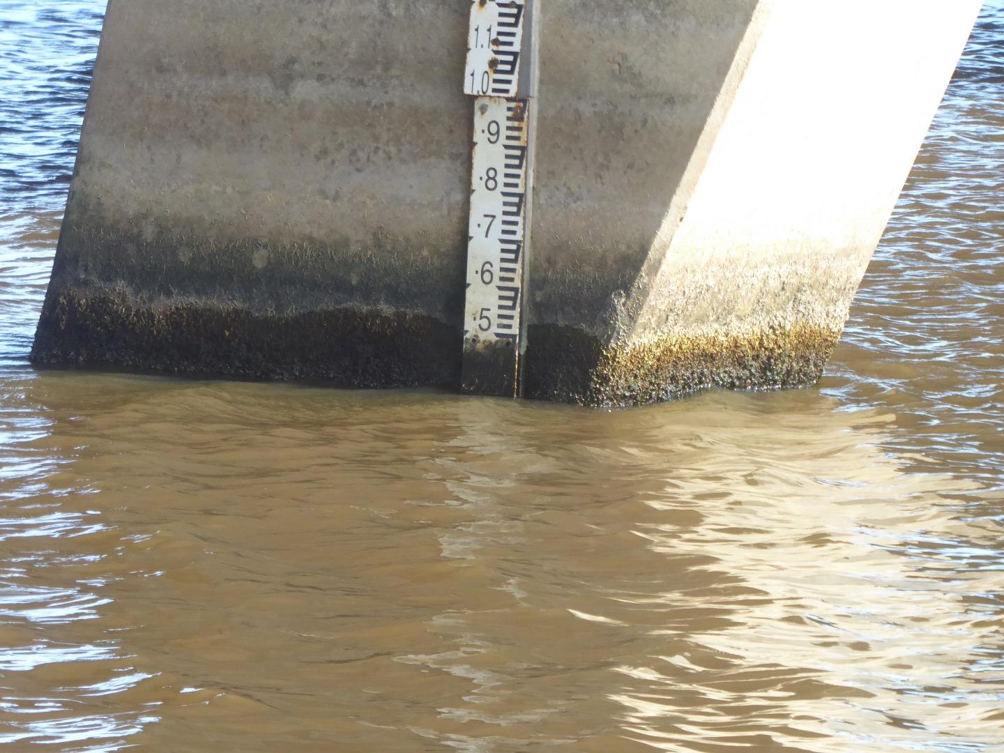
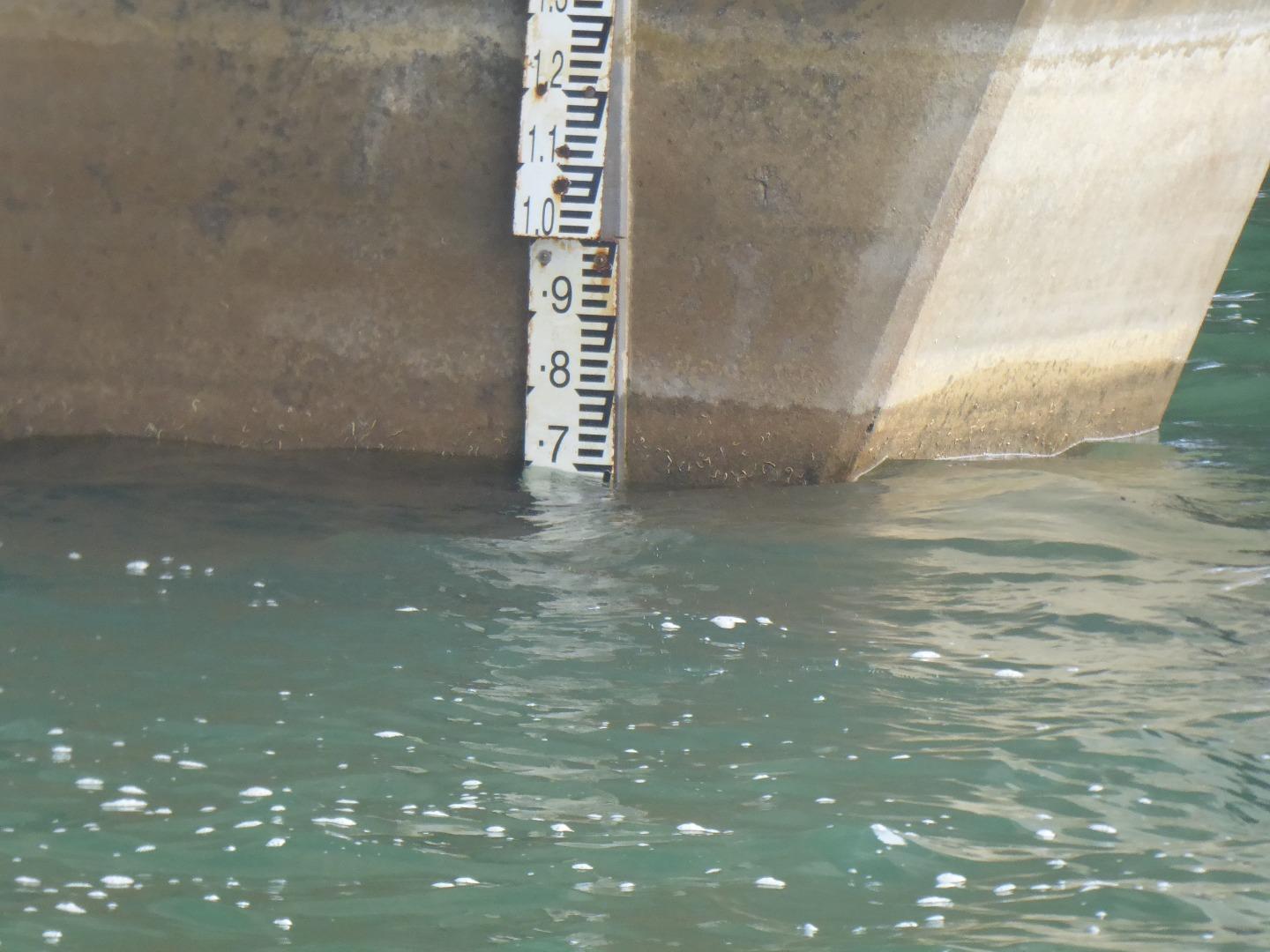
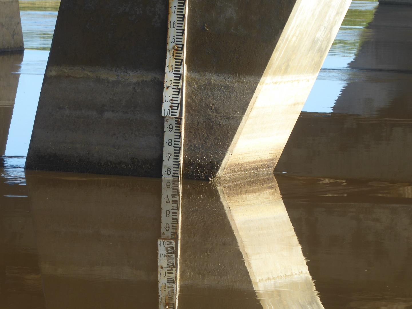
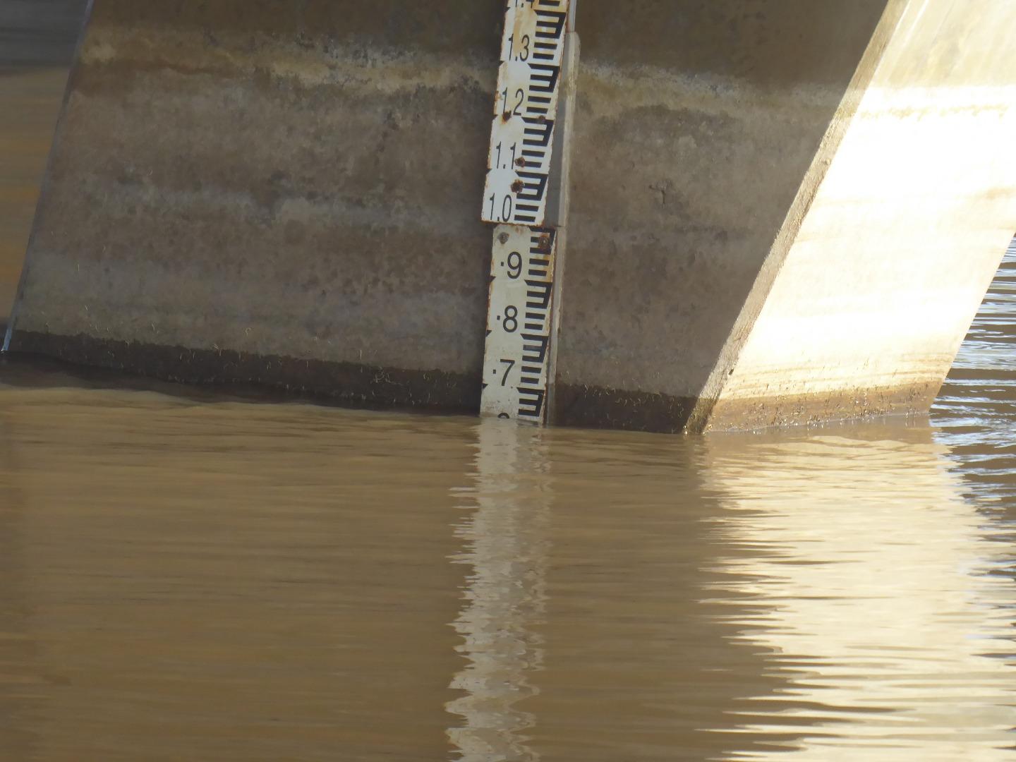
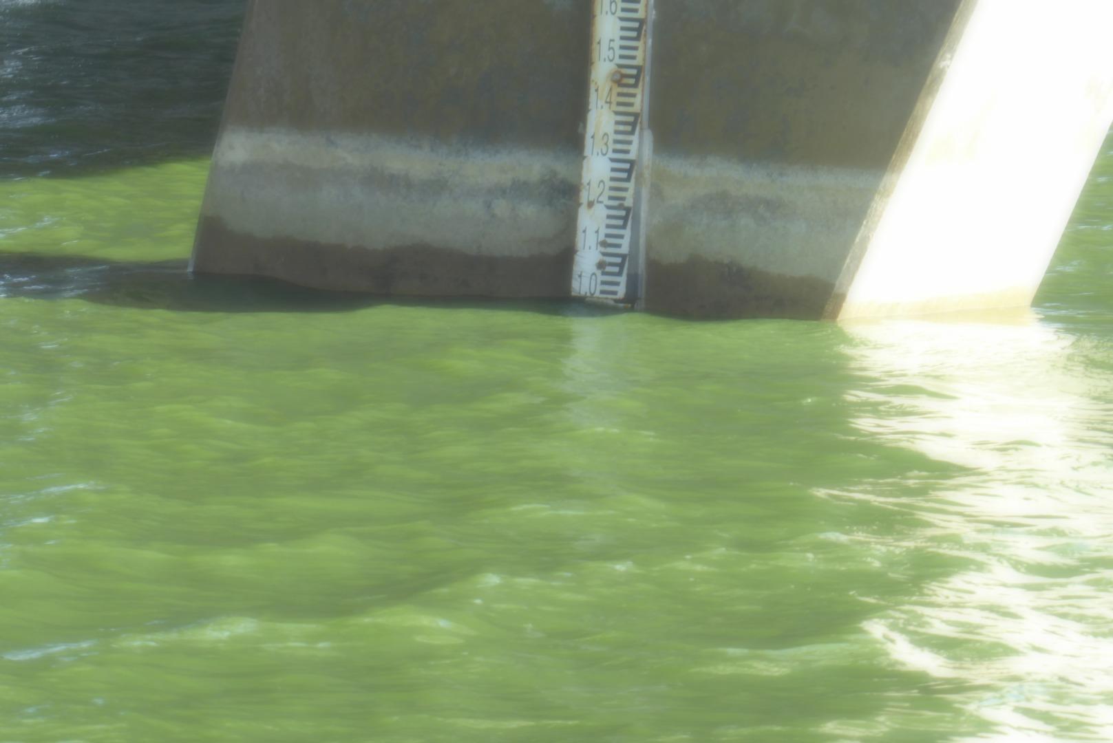
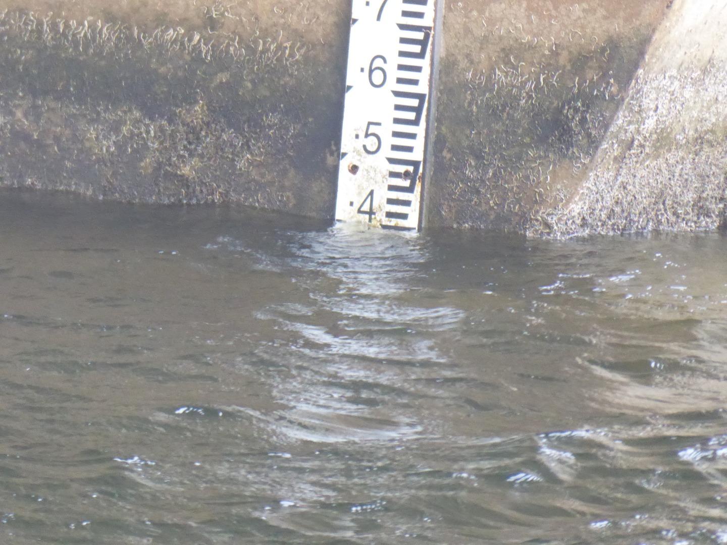
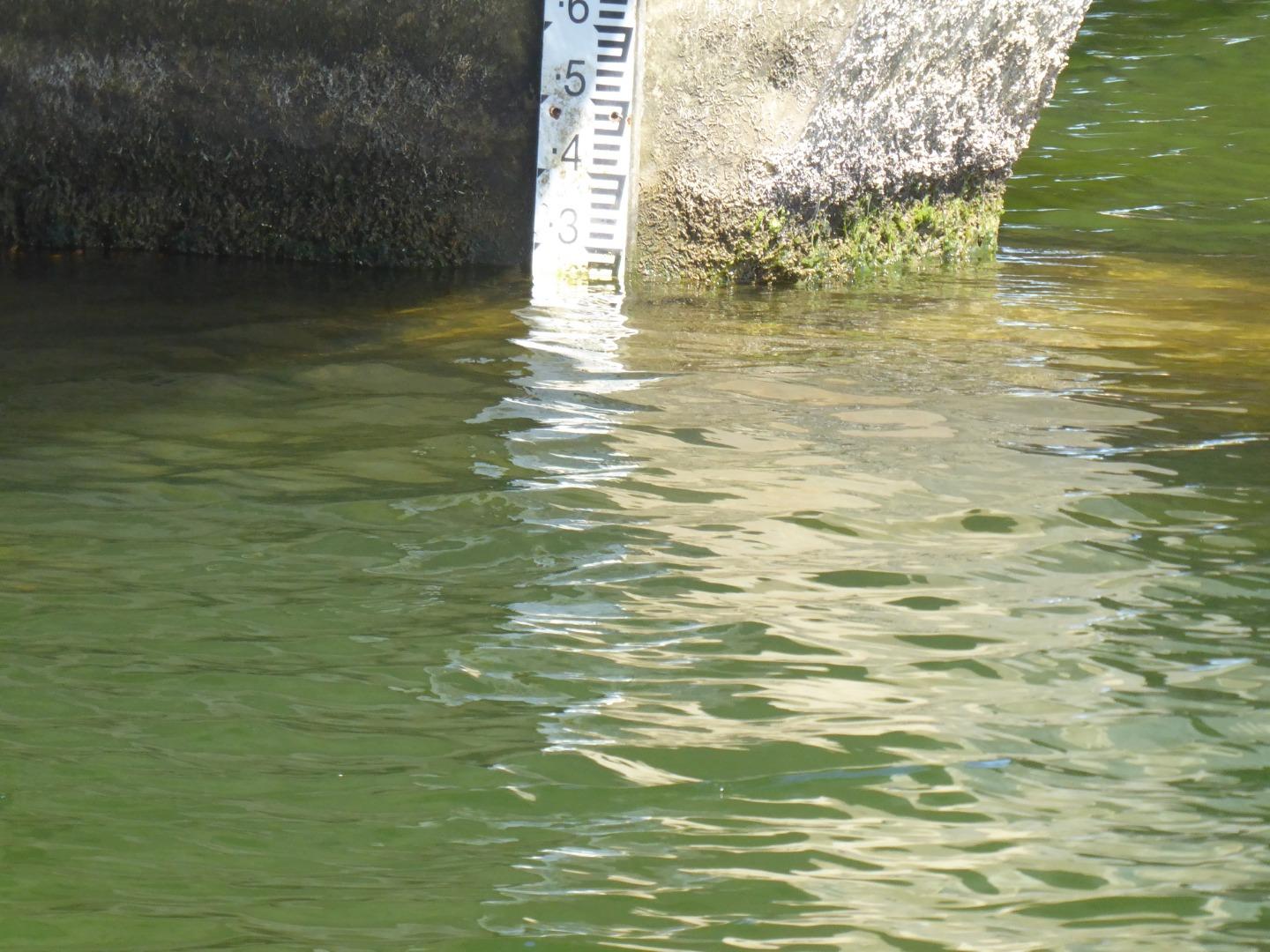
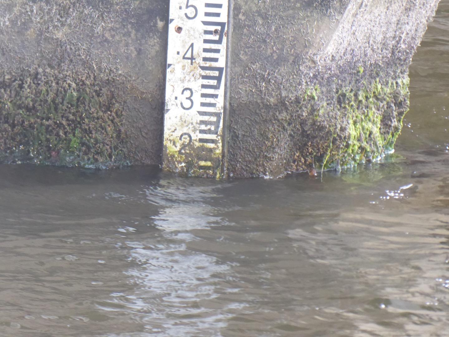
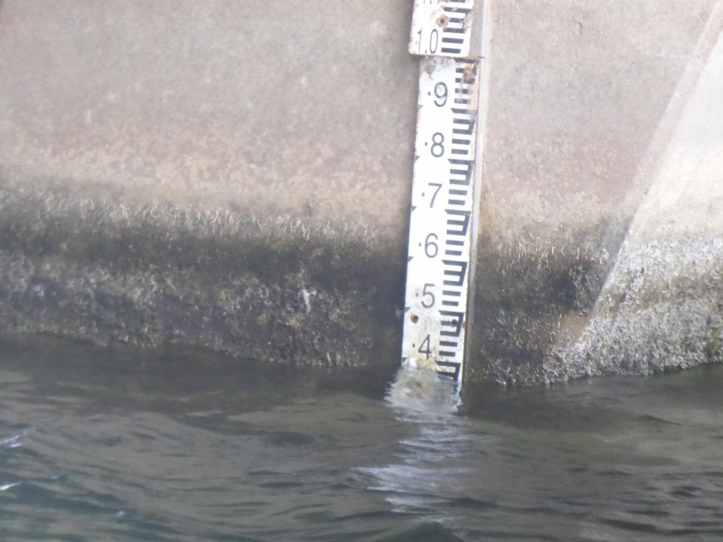
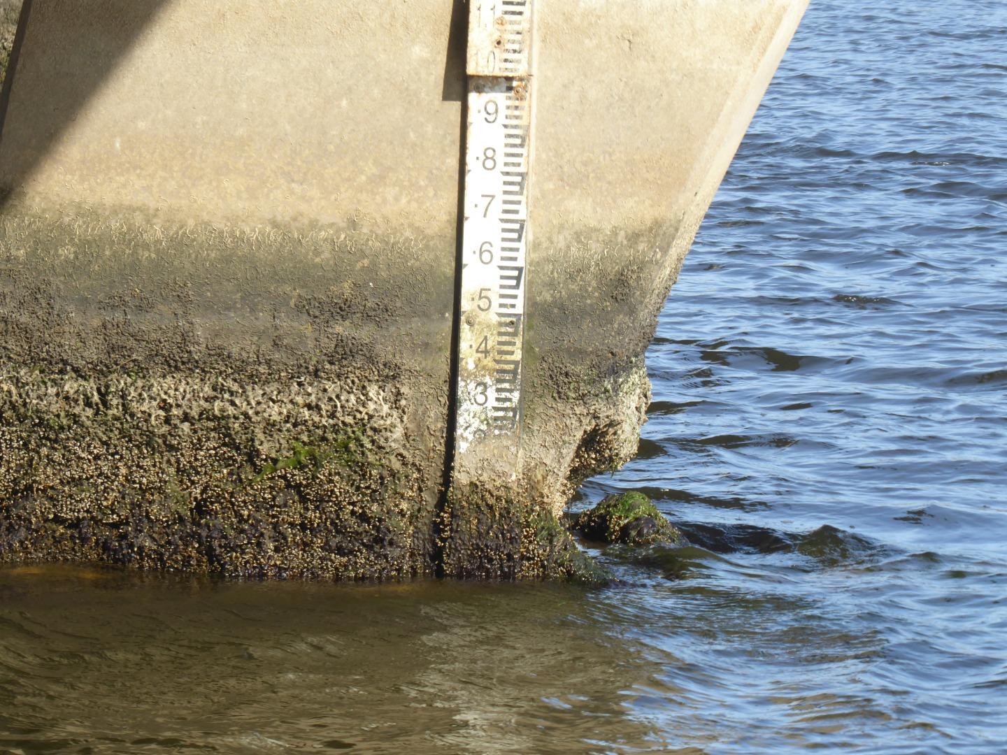
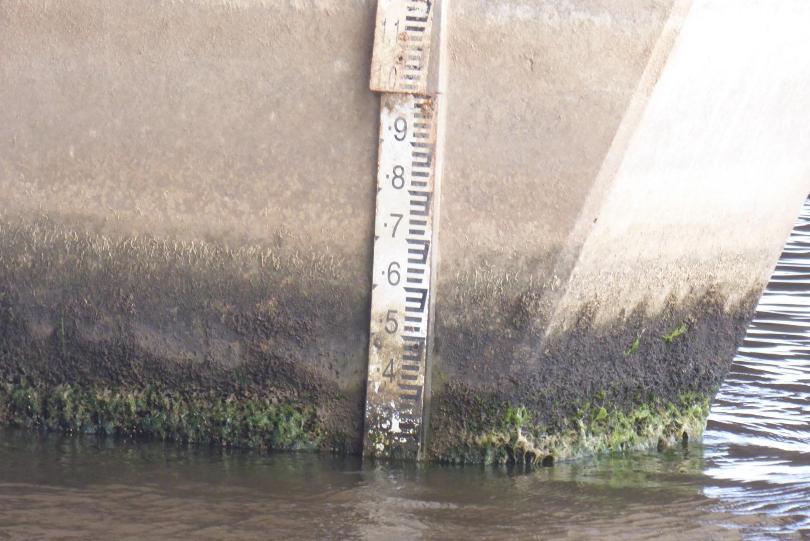
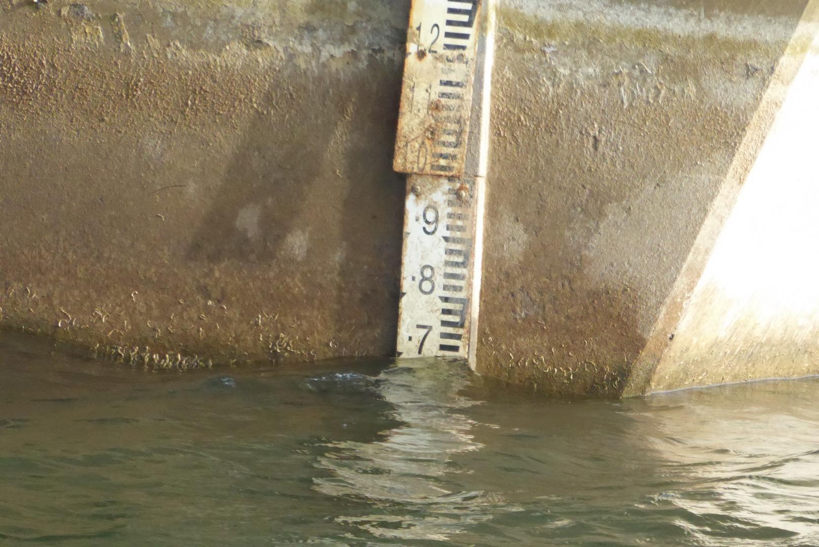
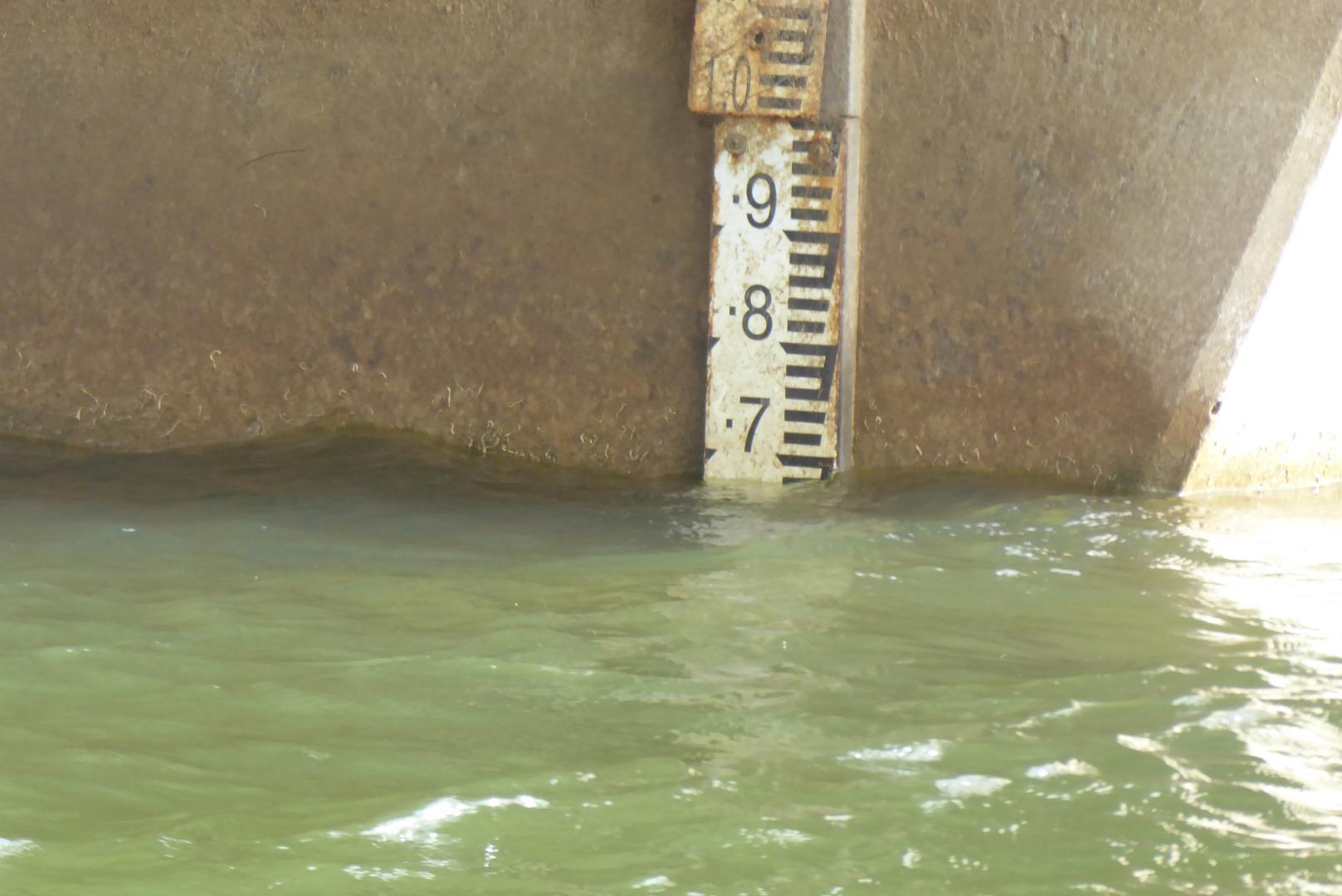
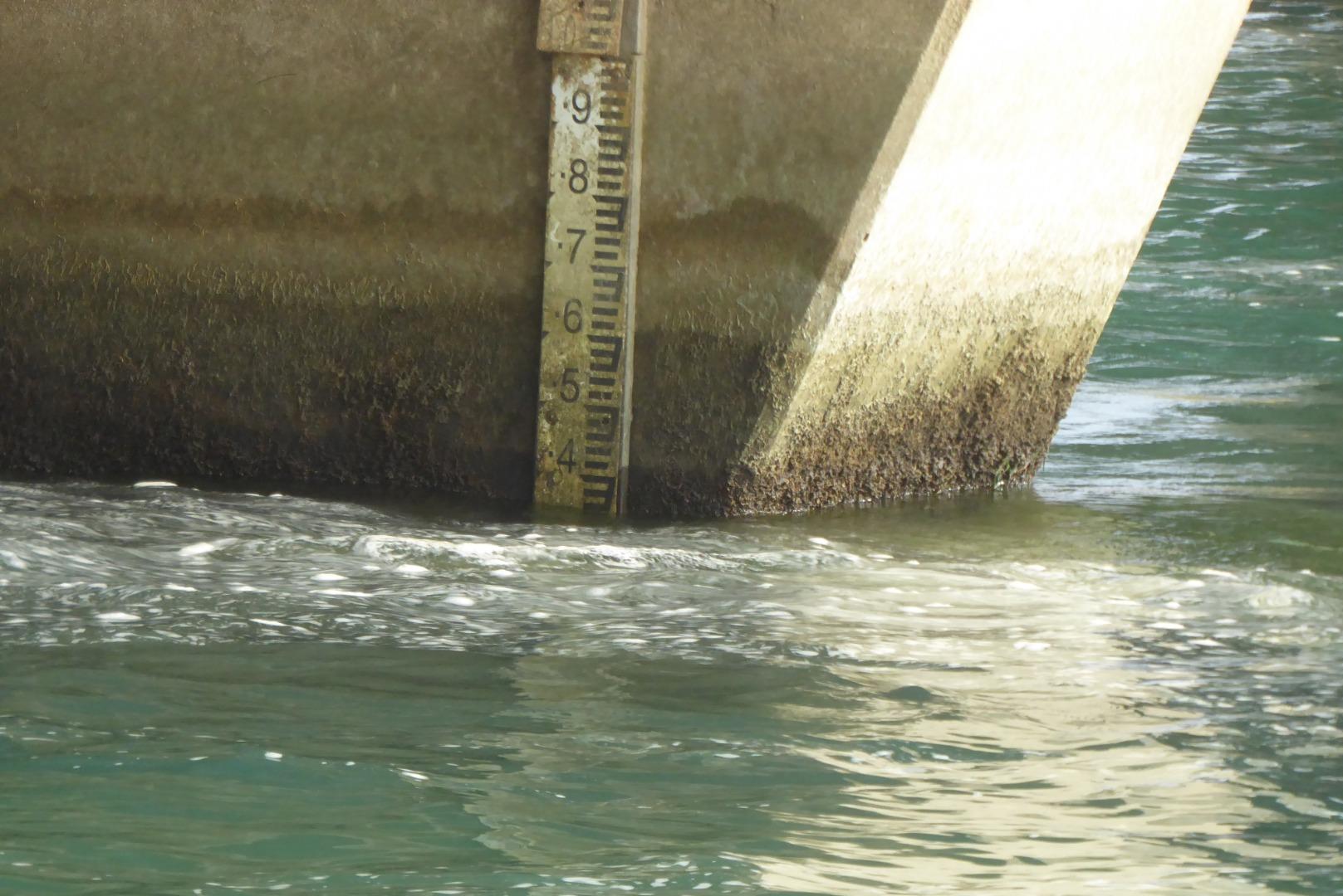
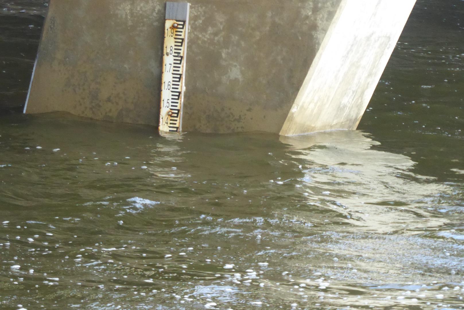
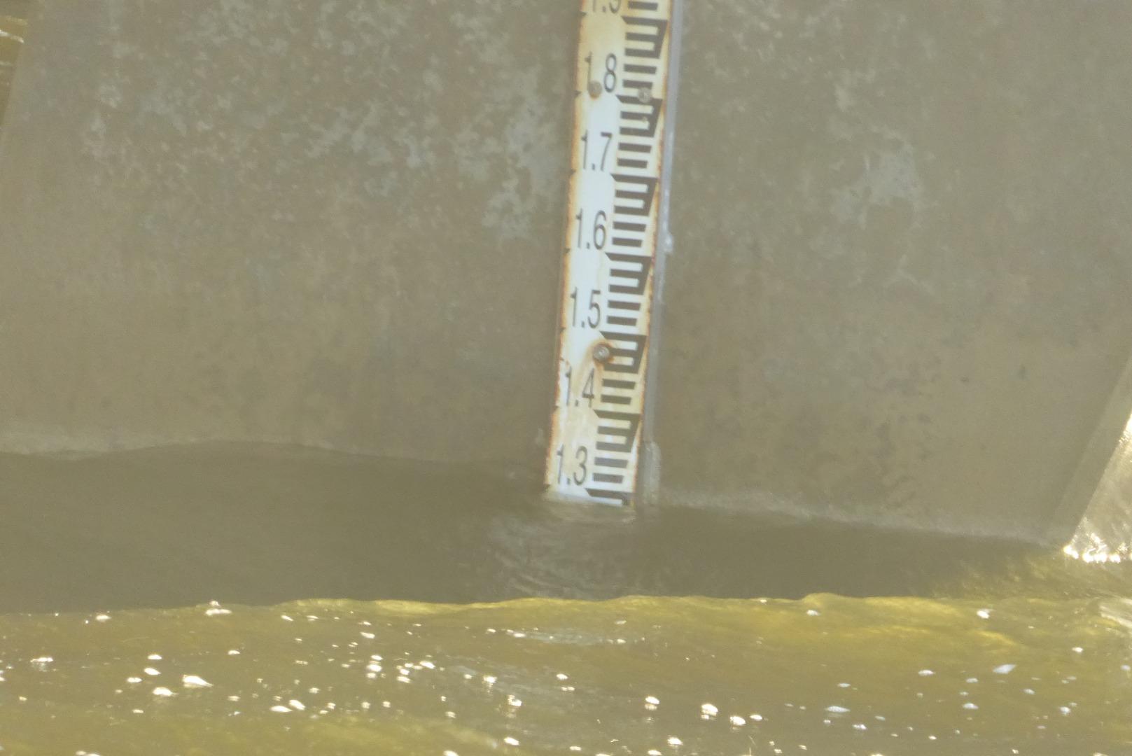
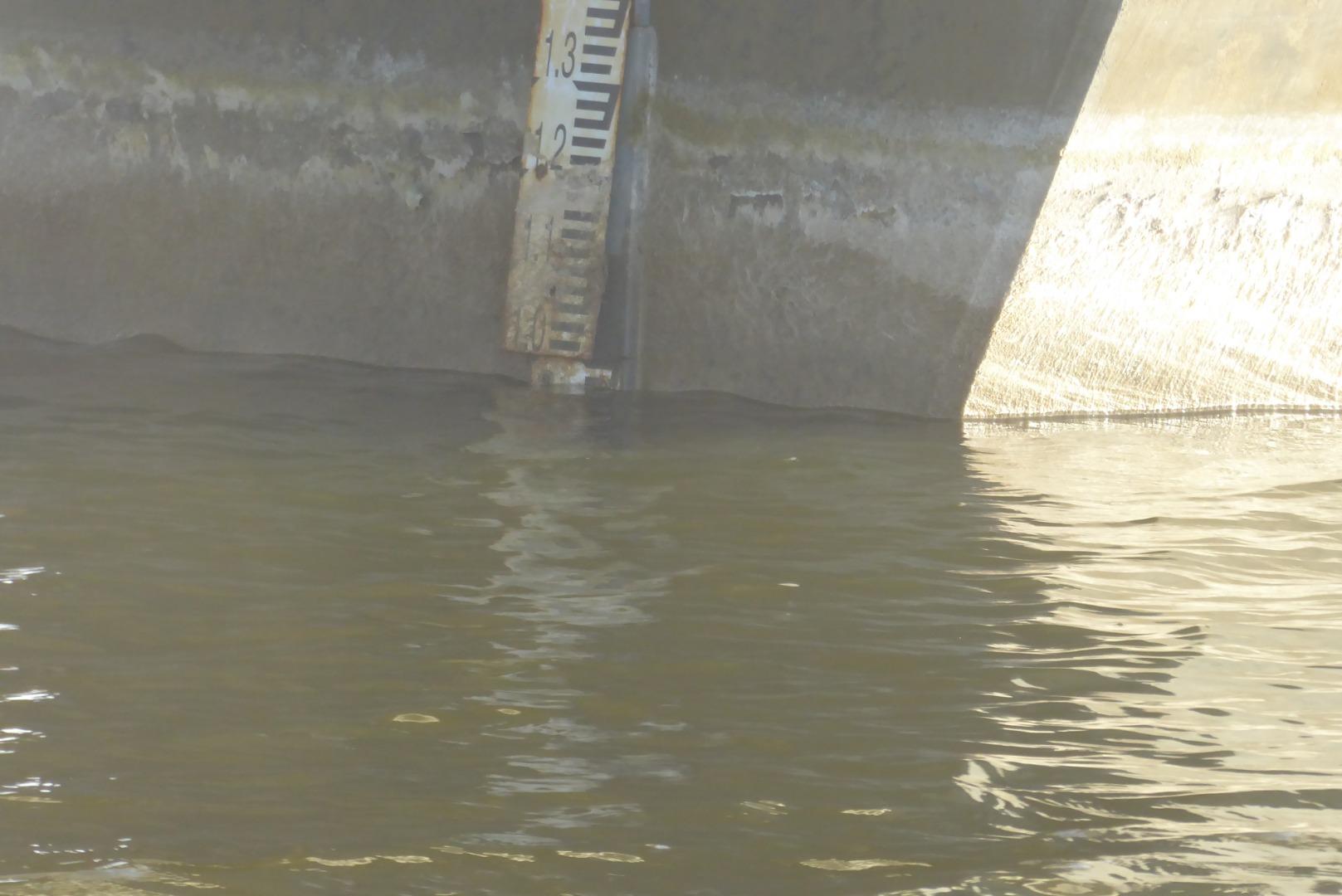
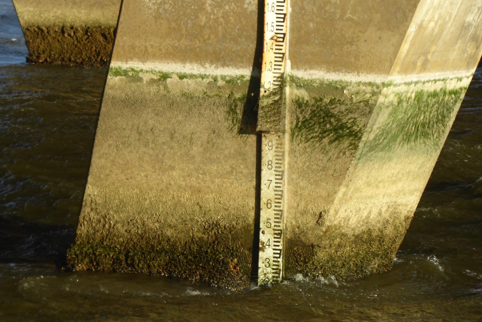
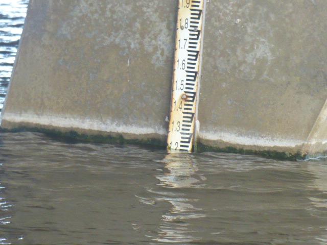
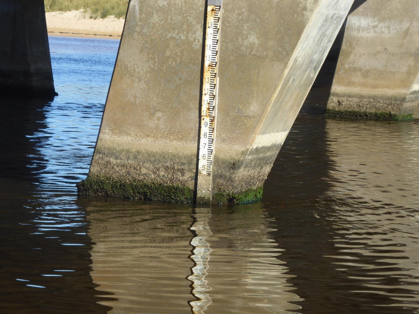
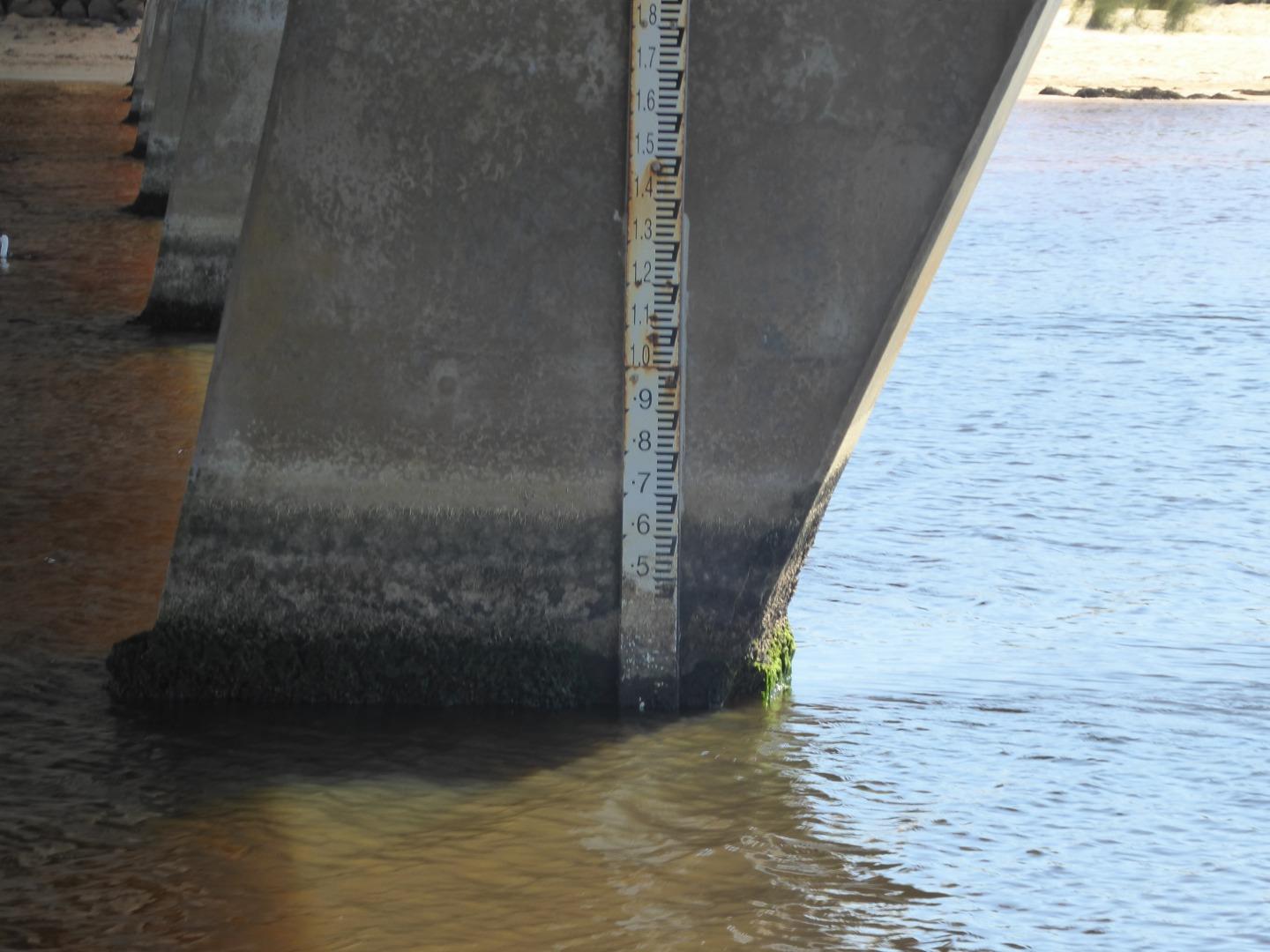
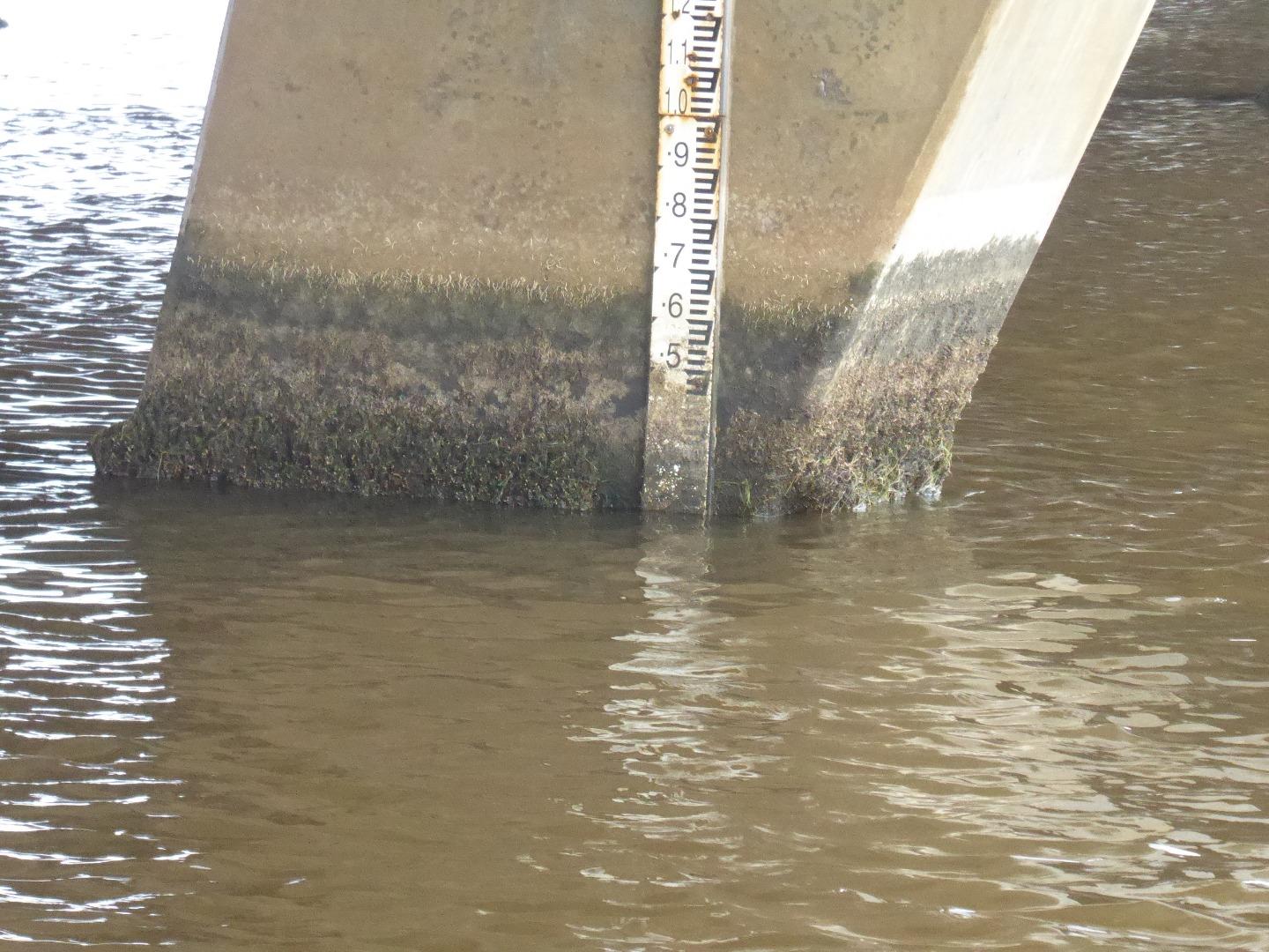
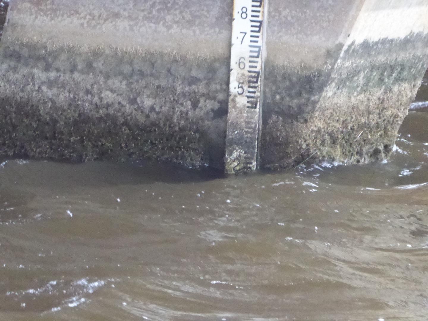
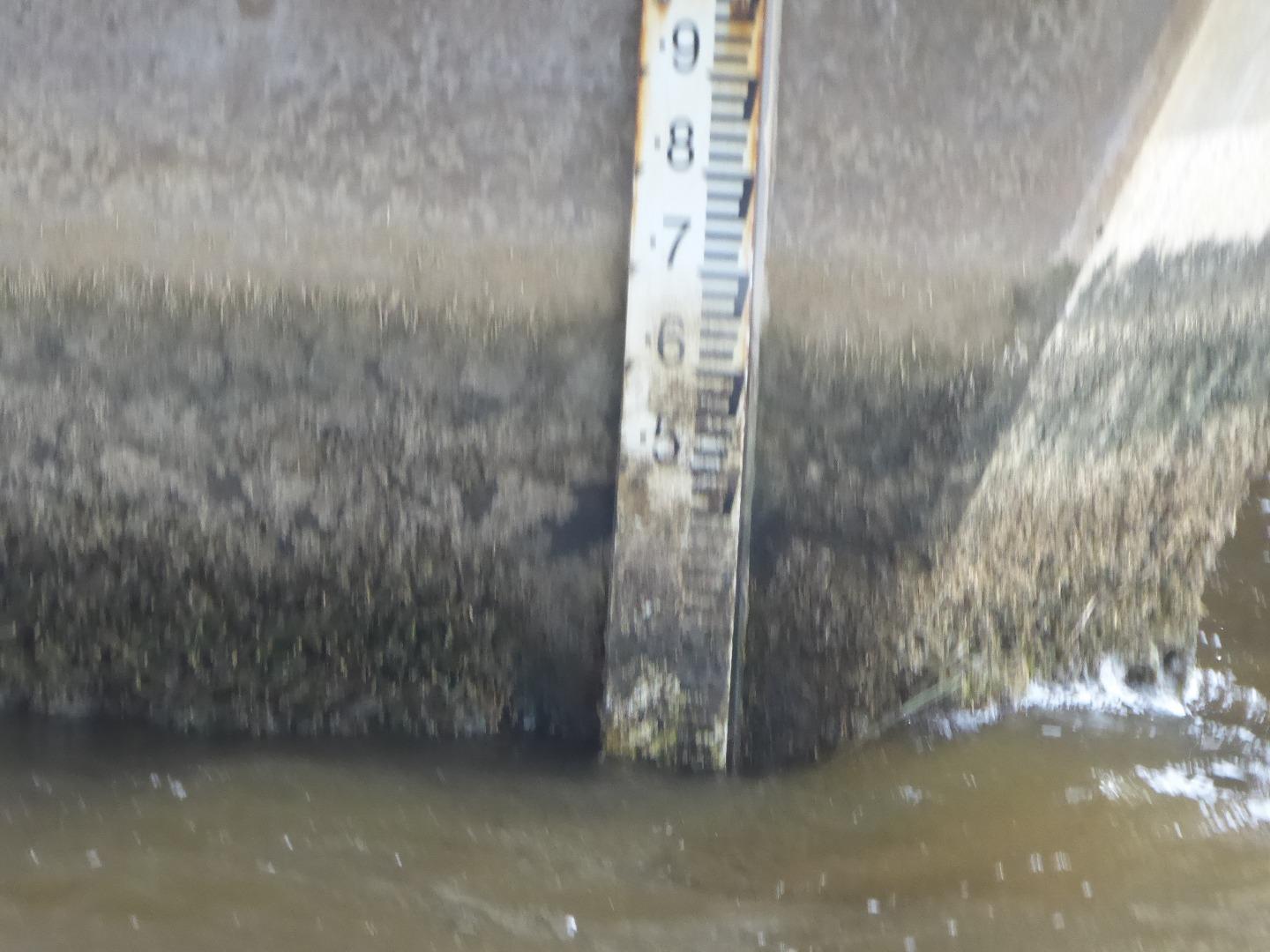
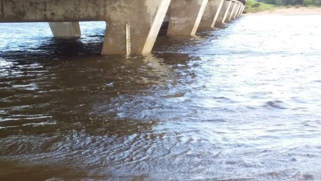
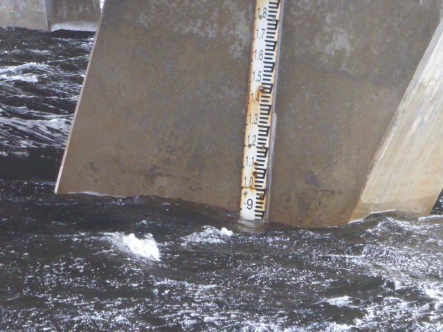
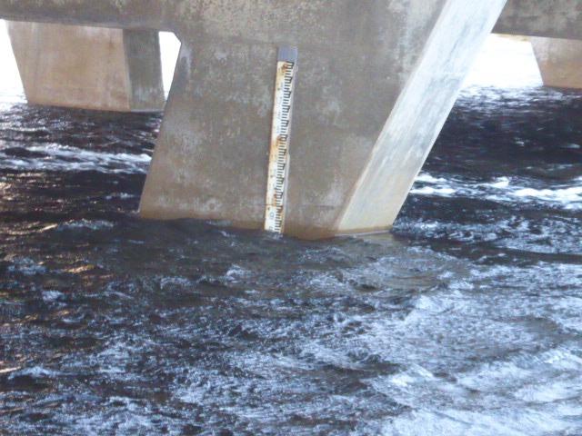
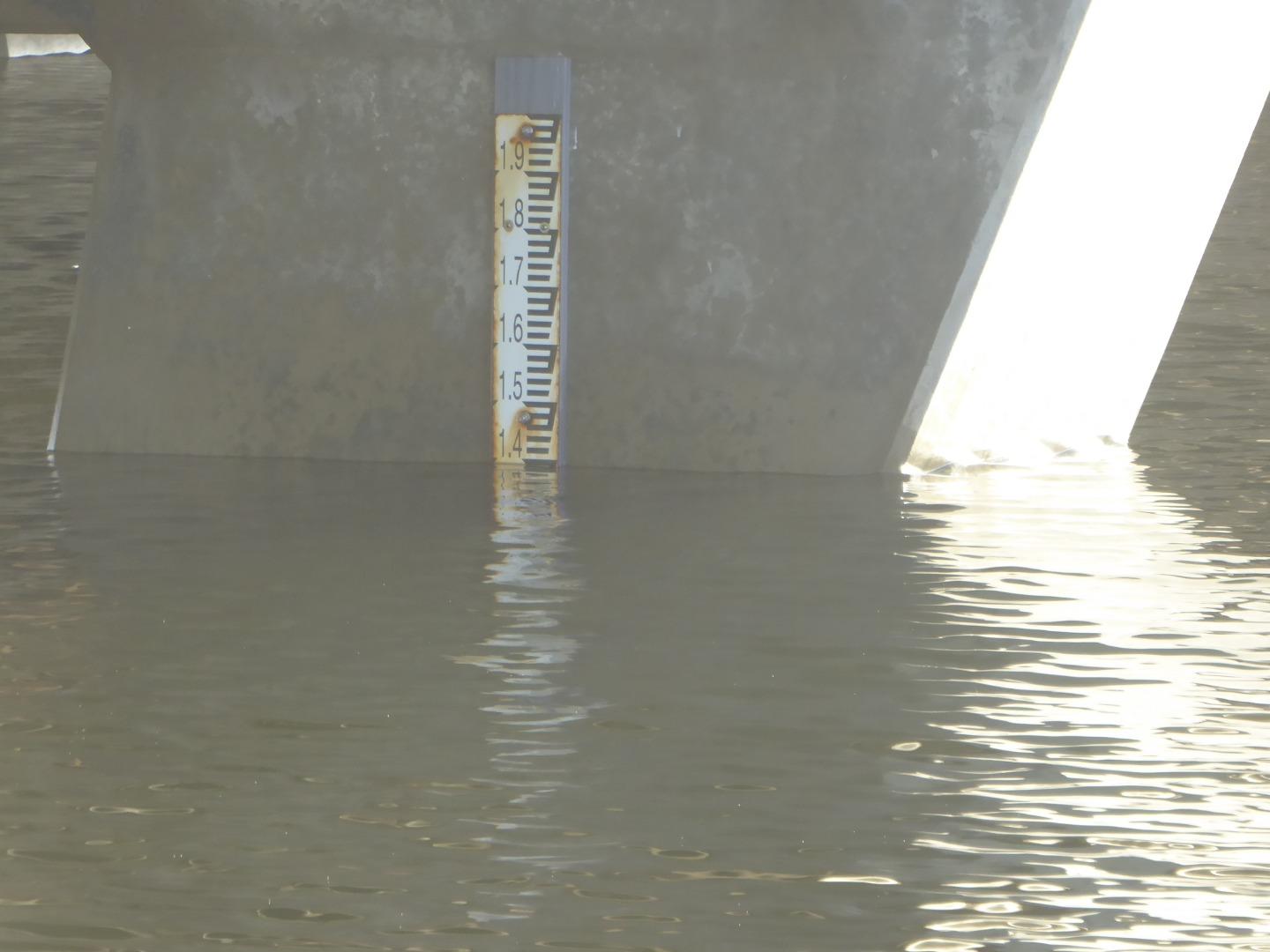
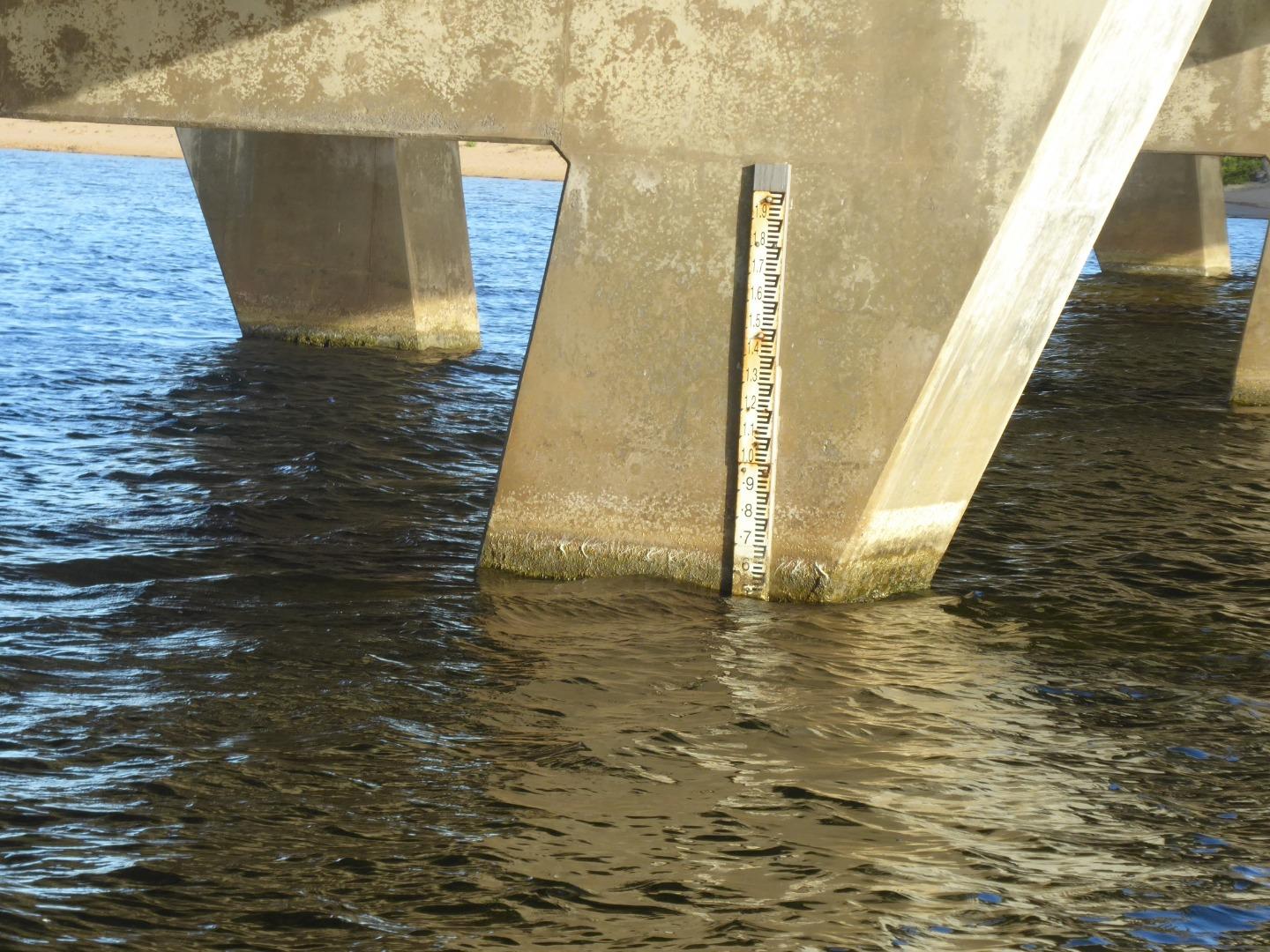
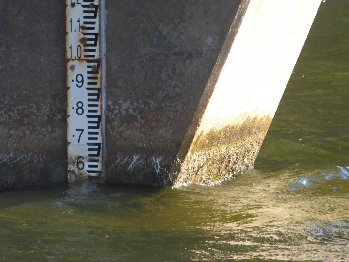
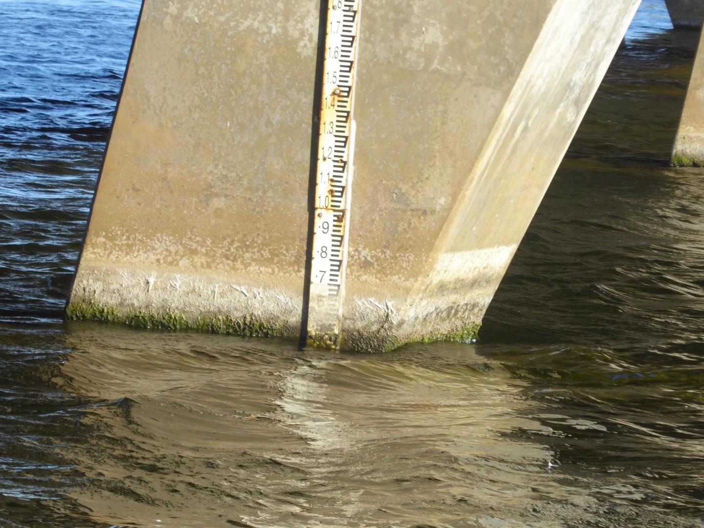
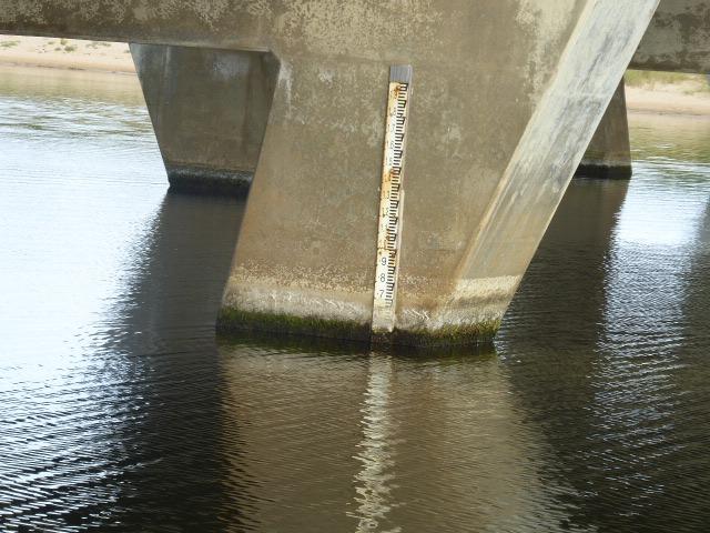
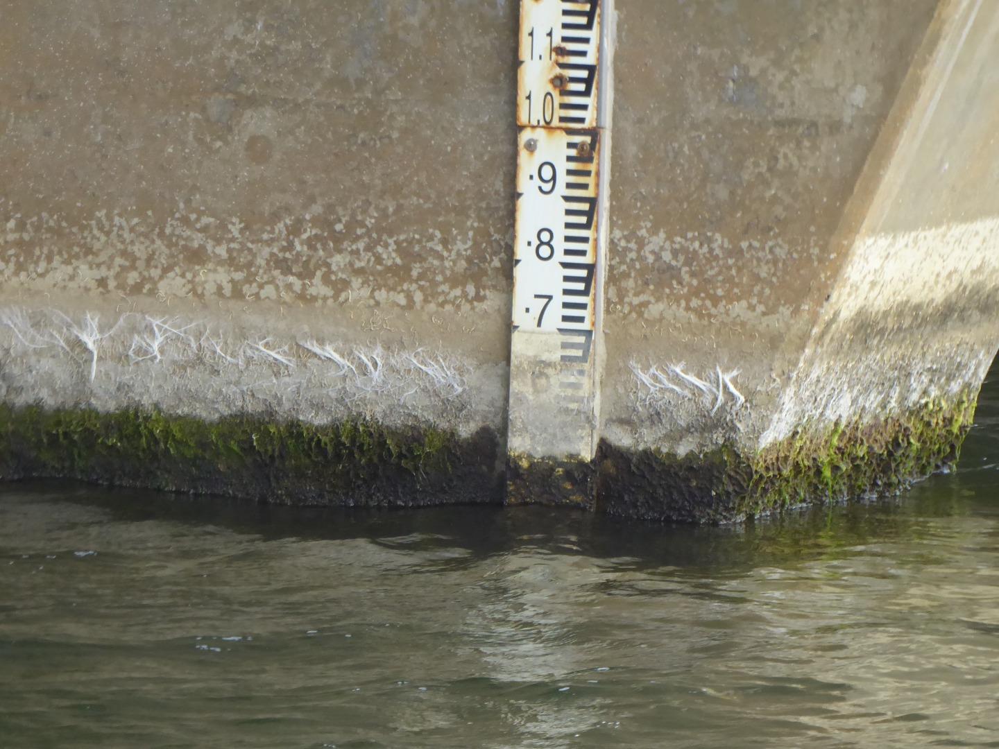
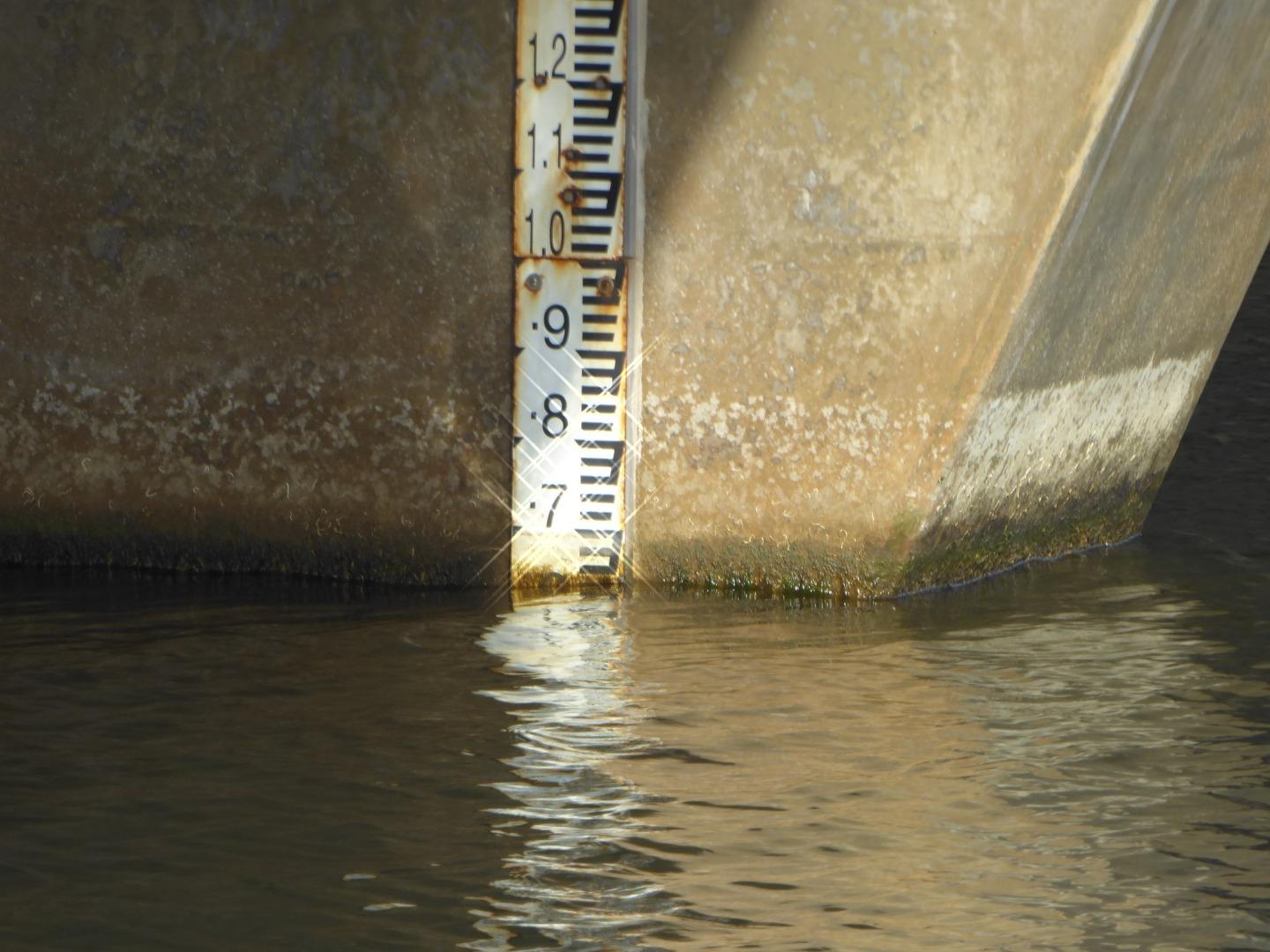
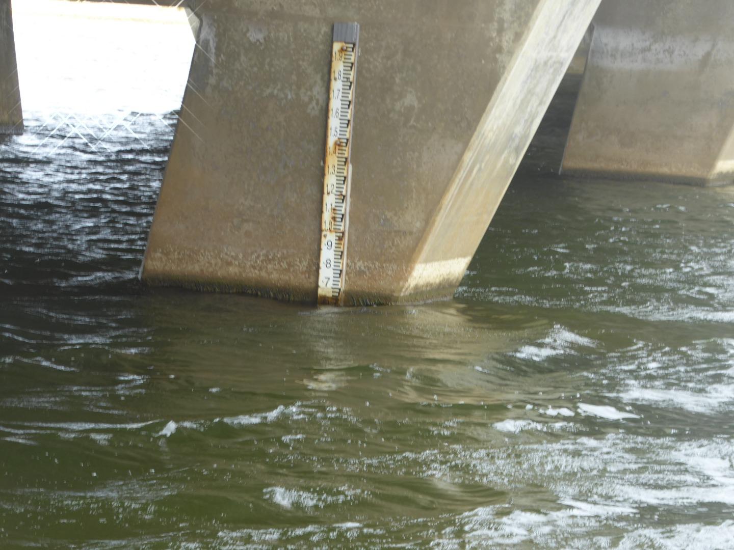
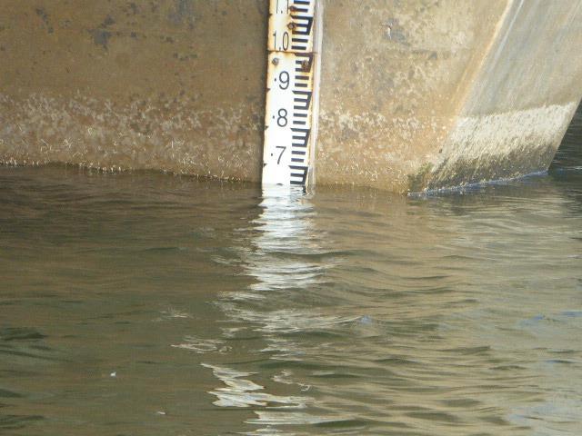
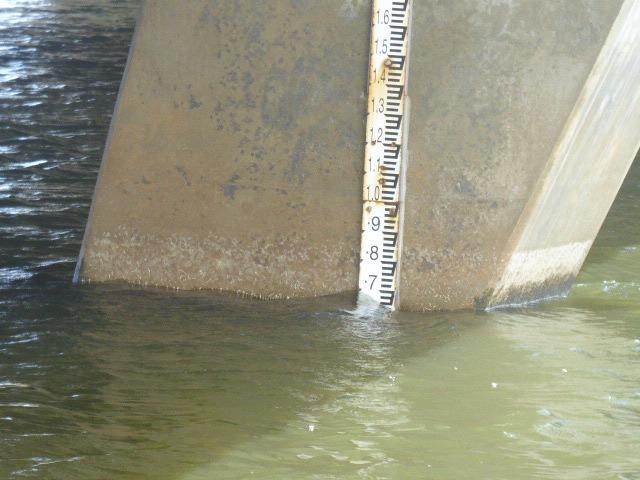
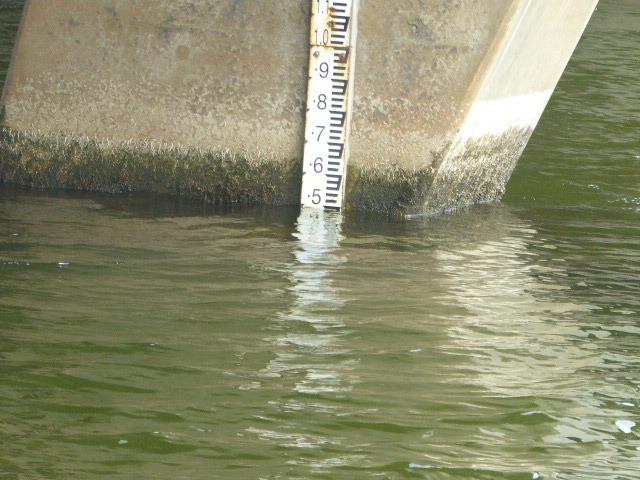
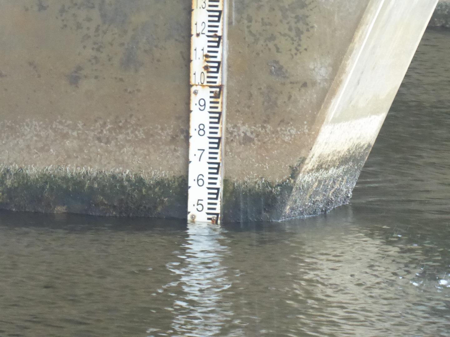
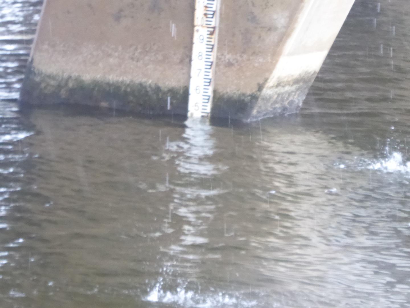
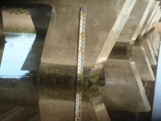
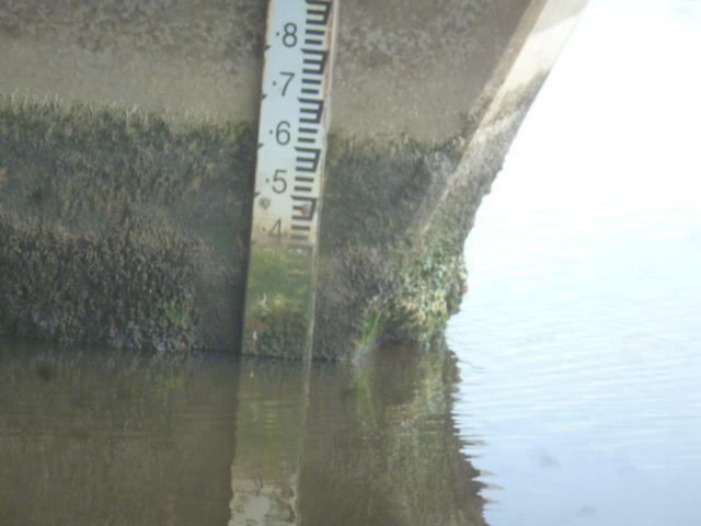
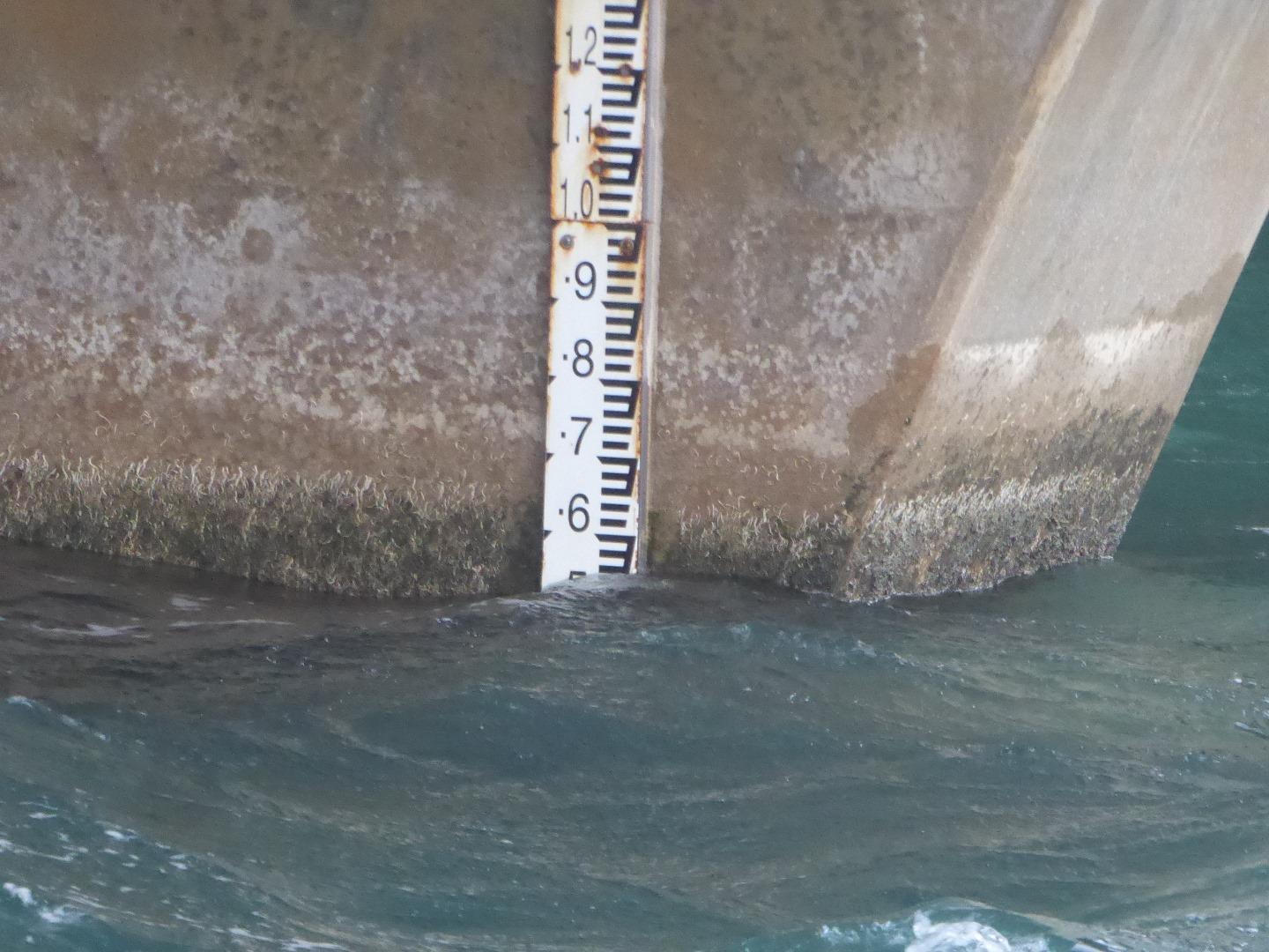
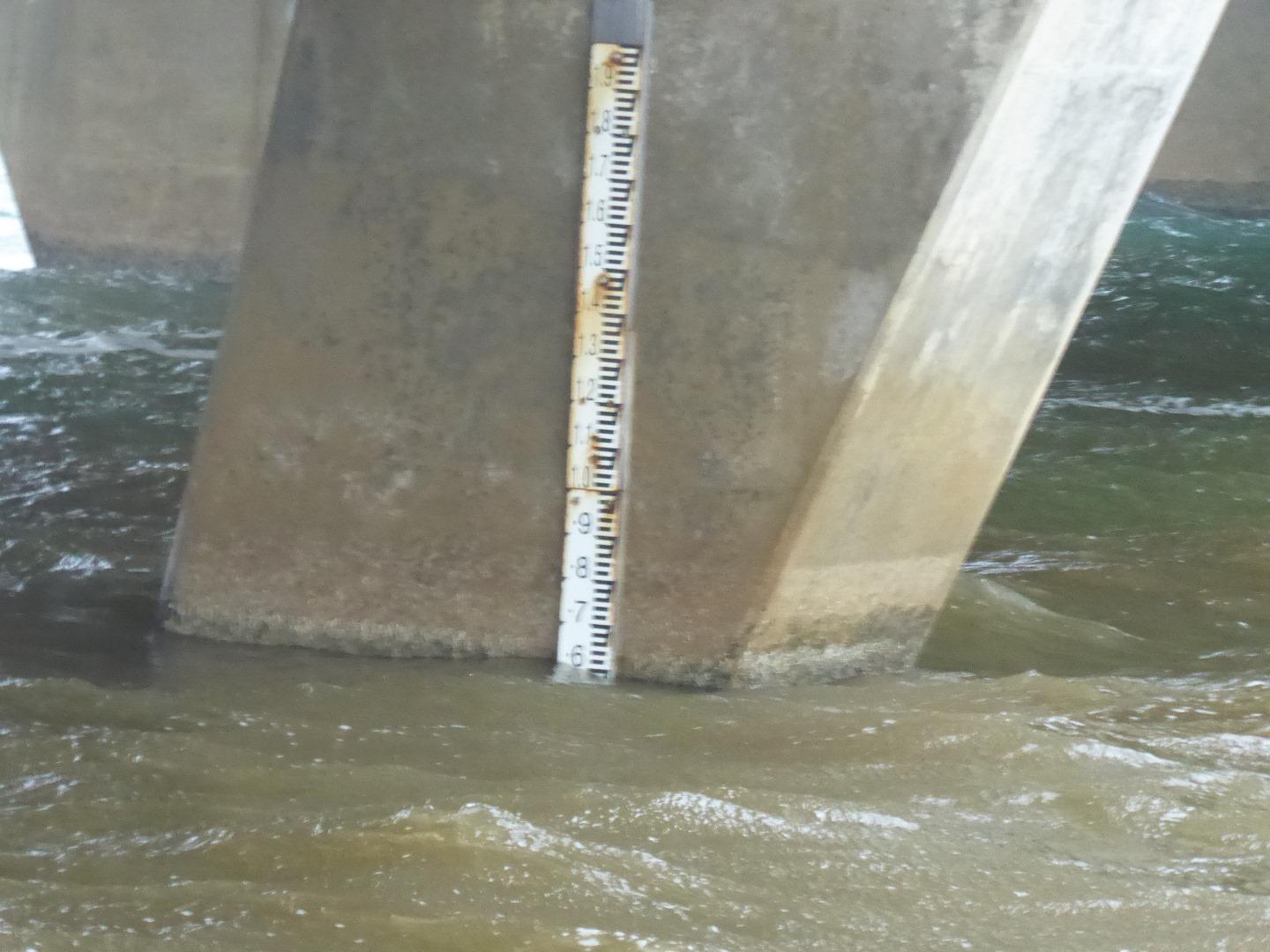
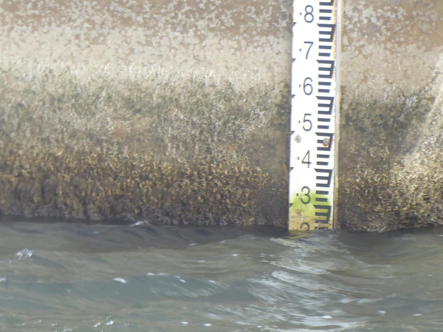
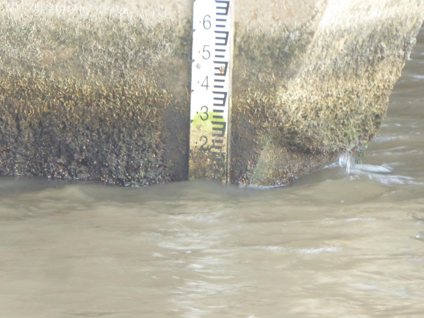
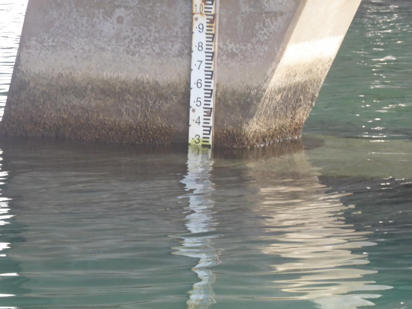
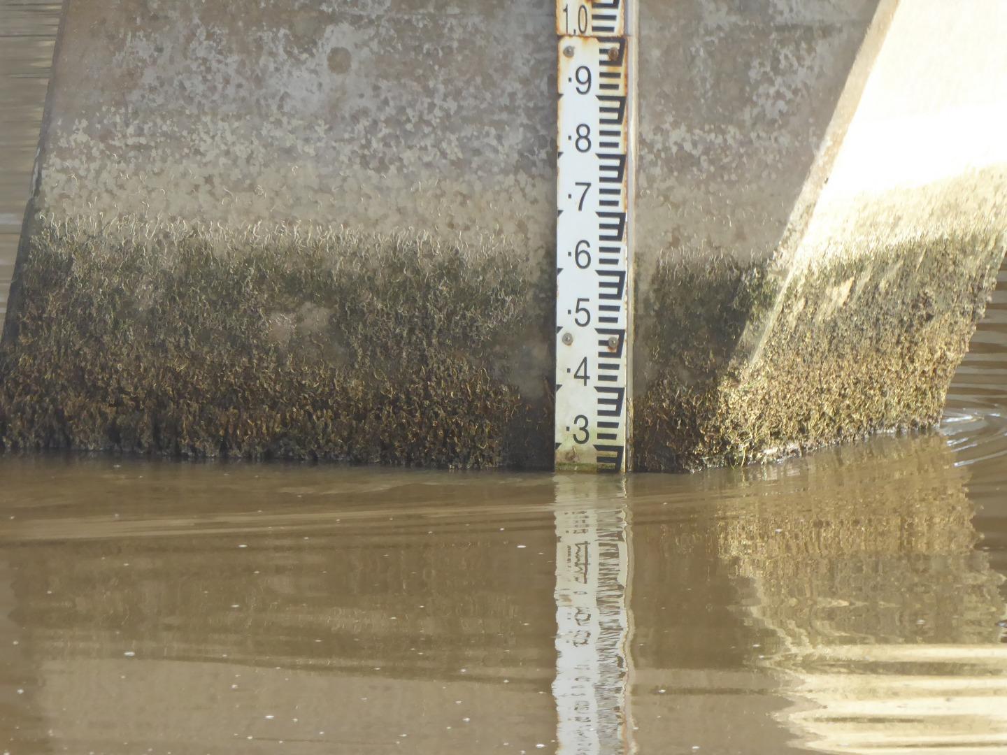
Thanks for re-securing the upper section of the Height Gauge However, the lower section of the Height Gauge is covered by coral, and could not be read. I have scaled the height on my computer |
|
| #15566 | 6 Jun 2023 | Approved | ||
| #15501 | 2 May 2023 | Approved | ||
| #15384 | 4 Apr 2023 | Approved |
Notes:
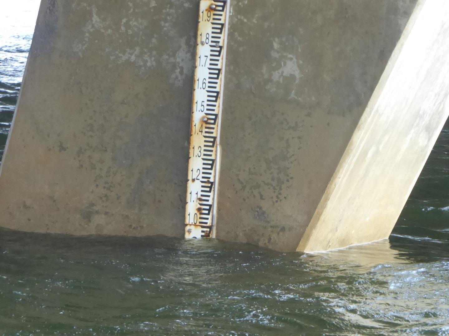
the great variety of weathers occurring over the past weeks has made it impossible to give a Mode weather report. The photos of the height gauge show that the height gauge is coming adrift from the bridge pylon, and needs to be re-secured. 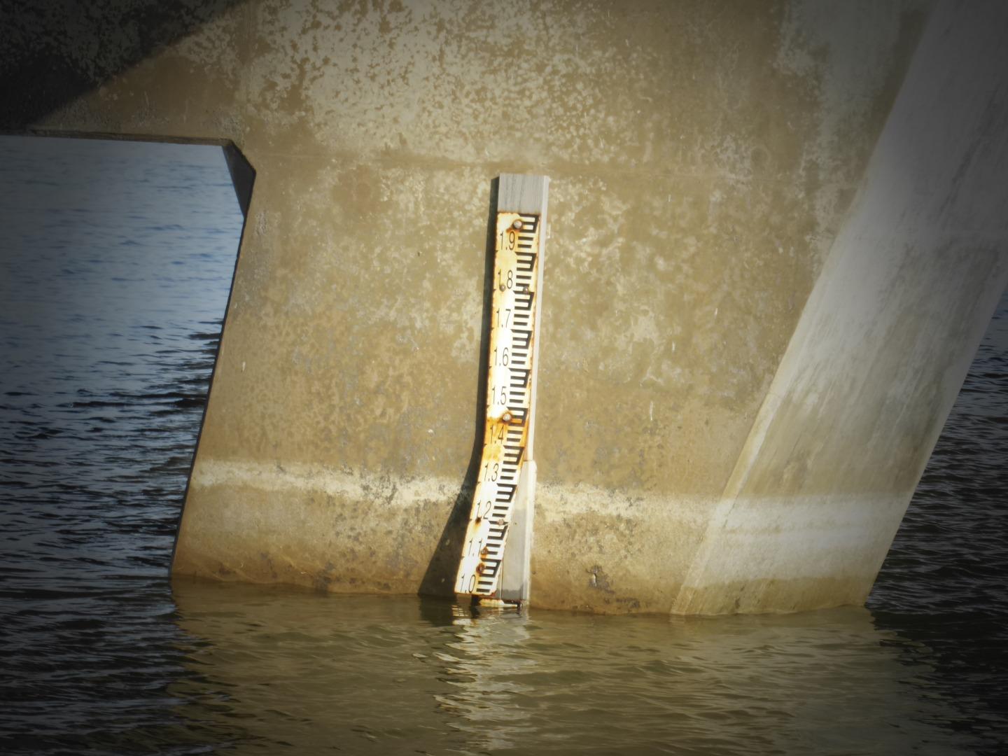 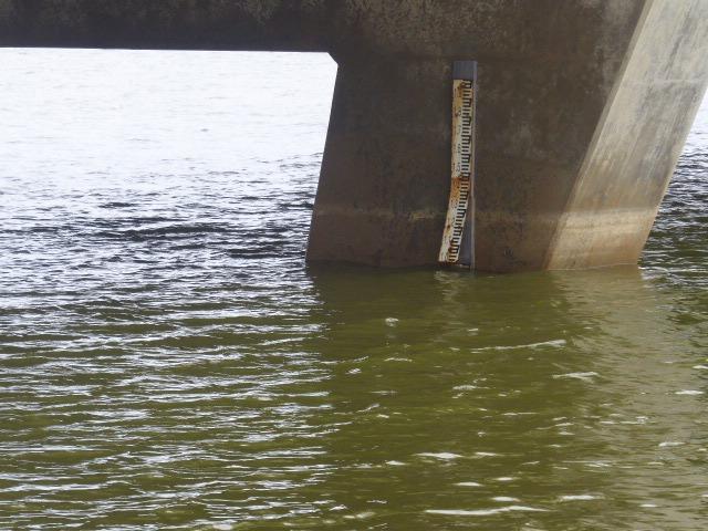 |
|
| #15327 | 7 Mar 2023 | Approved |
Notes:
Height gauge top section is coming away from bridge. |
|
| #15268 | 7 Feb 2023 | Approved |
Notes:
Curdies River estuary closed on Friday 3 Feb 2023 |
|
| #15205 | 3 Jan 2023 | Approved |
Notes:
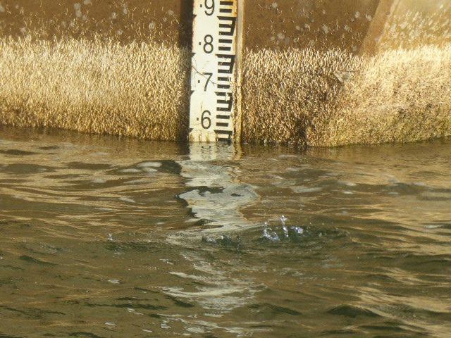
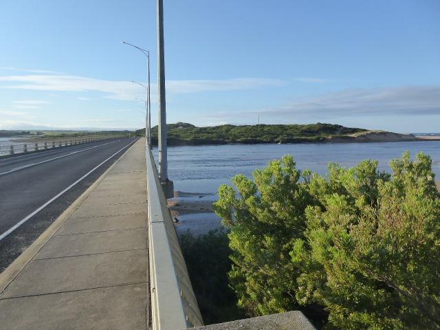
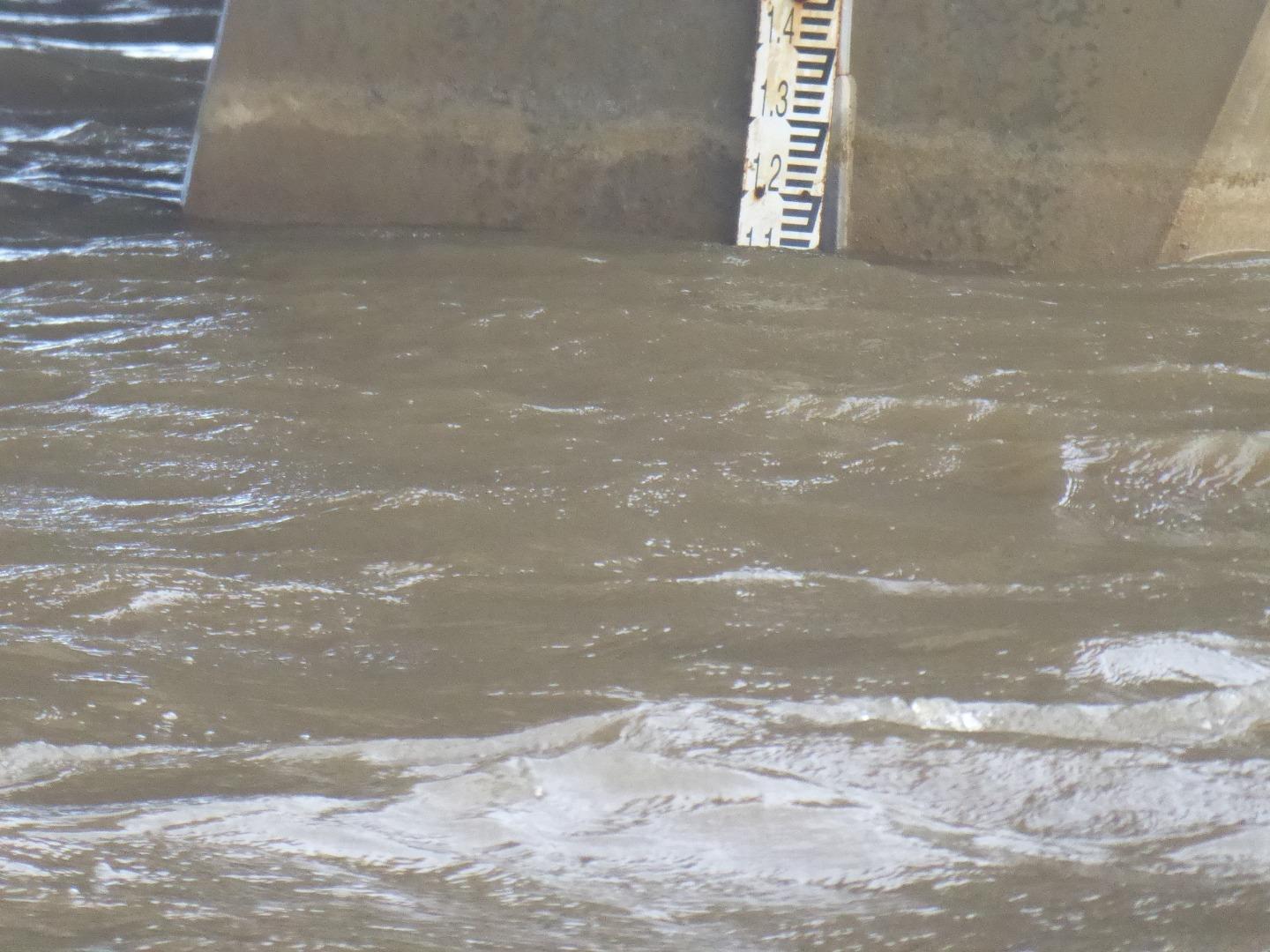
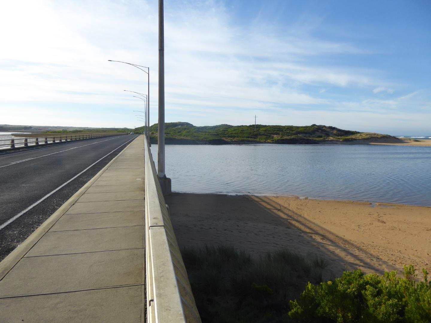
The Height Gauge on the Bridge at Peterborough needs repair. The top half of the gauge is coming adrift. See attached photo. We are using our last container of calibration Solution for the Hach Meter. Additional supplies will be required soon. Adam Nash participated in our monitoring session, but I was not able to list him on the website as a participant. Could you please modify the list of "Samplers" to include our new members, and to delete those names of people that we have not heard from for several years. |
|
| #15154 | 6 Dec 2022 | Approved |
|
|
| #15106 | 4 Nov 2022 | Approved | ||
| #15052 | 4 Oct 2022 | Approved | ||
| #14990 | 6 Sep 2022 | Approved |
Notes:
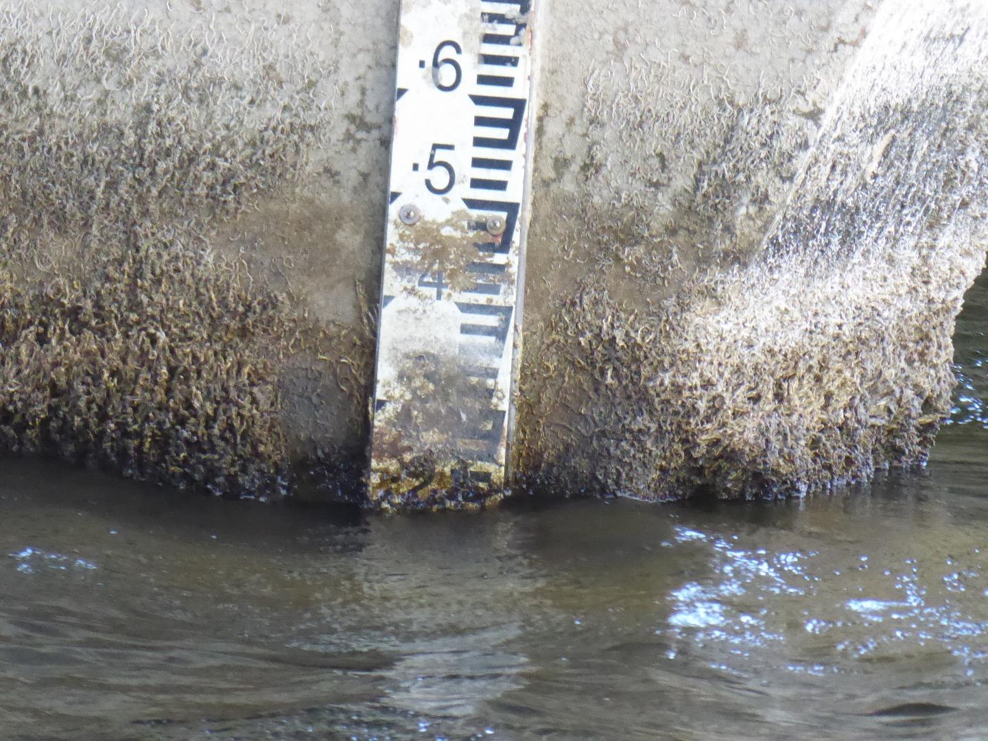
Height Gauge readings could not be read from the Gauge because of 'gunk' and coral on the normally underwater areas. Readings will be scaled from photographs taken.
|
|
| #14919 | 2 Aug 2022 | Approved | ||
| #14719 | 7 Jun 2022 | Approved | ||
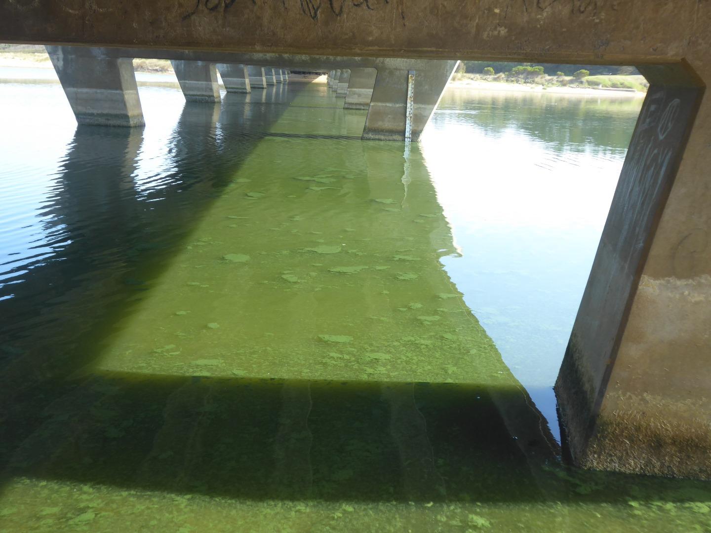
| #14643 | 3 May 2022 | Approved |
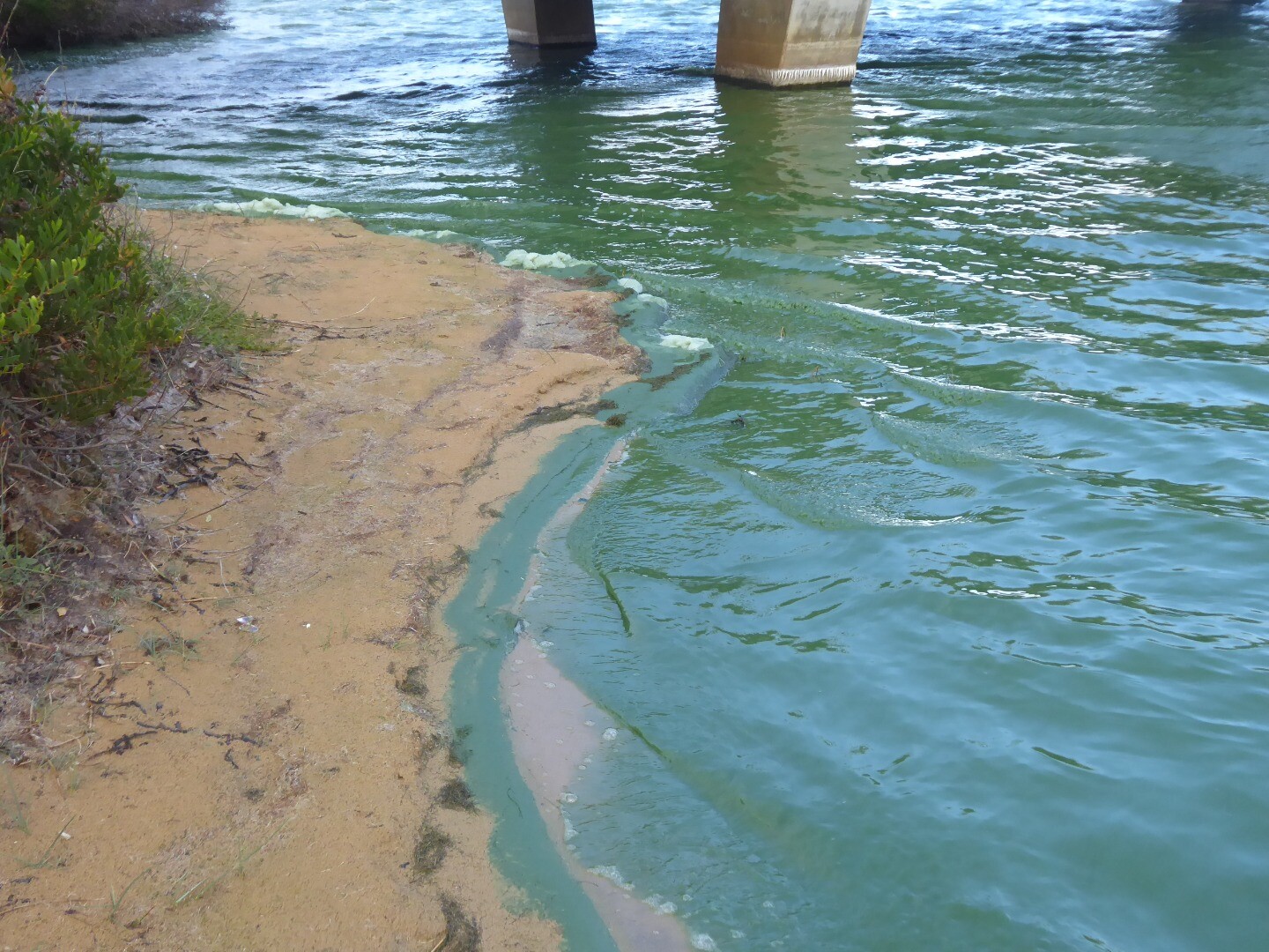
Notes:
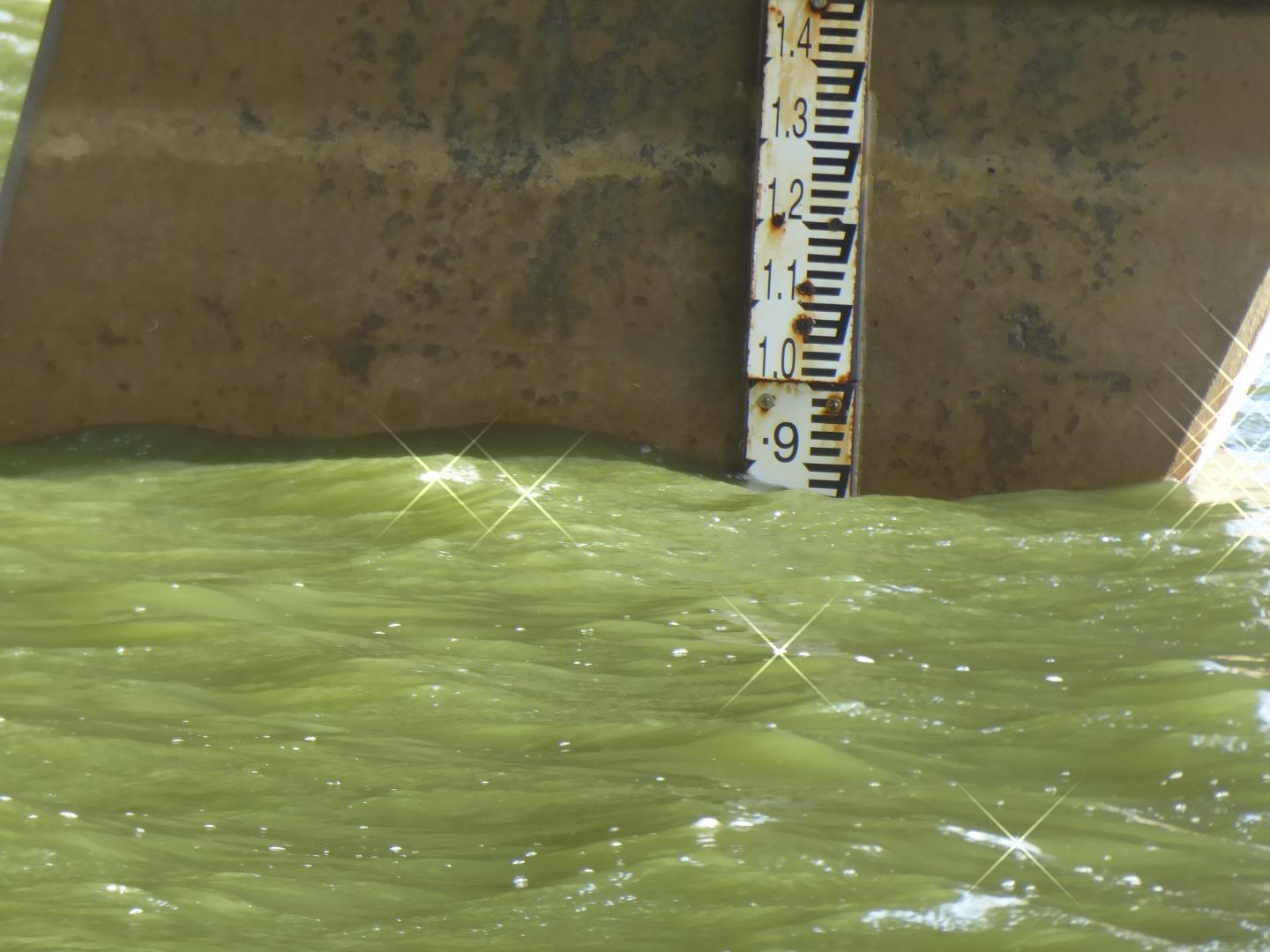
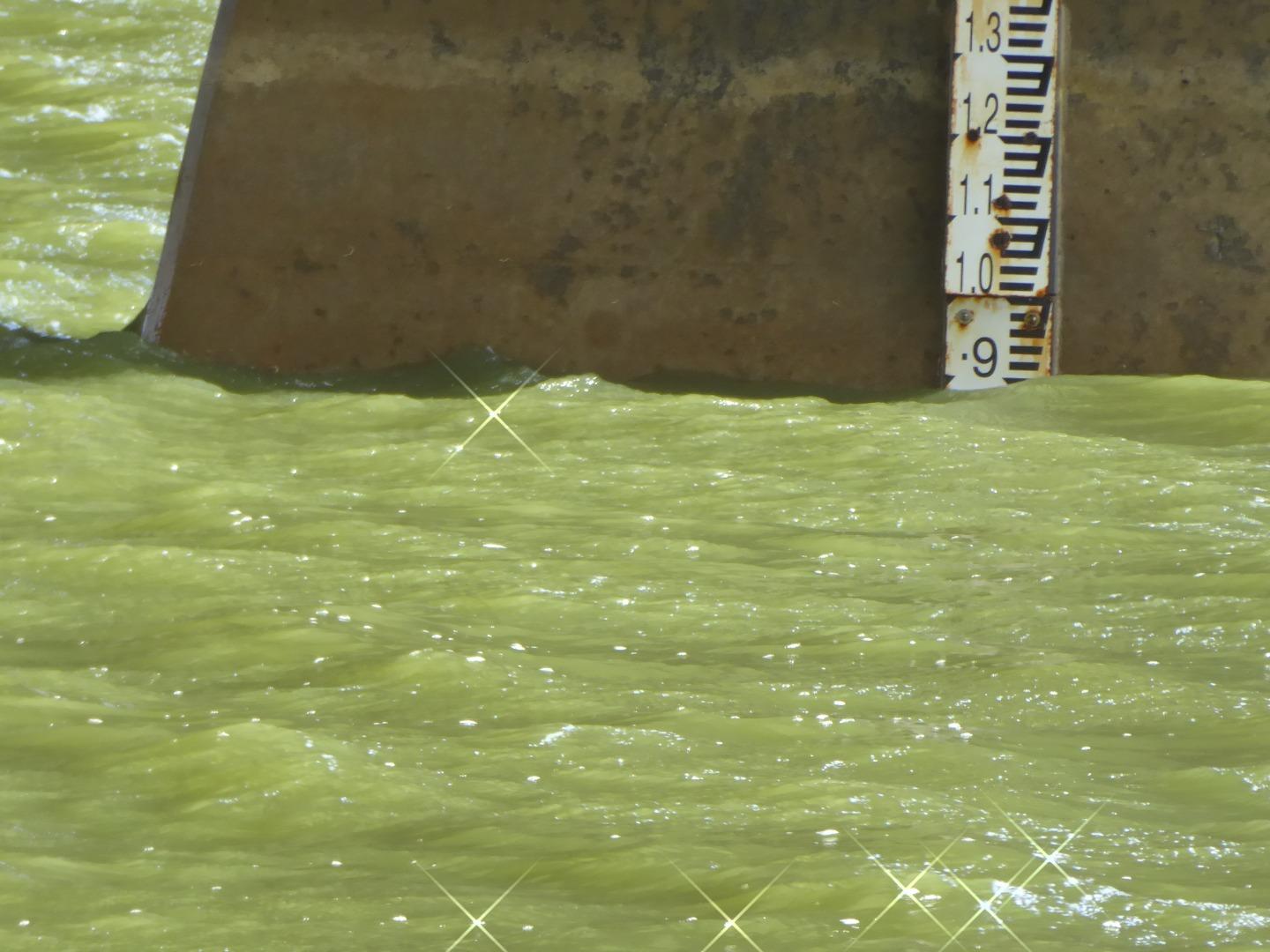
Sea has been coming over the Berm in recent days, including last night. Thick sludge thick with blue-green algea is on parts of the river surface. Algae is throughout all levels of the water at the test site, and elsewhere.
|
|
| #14627 | 25 Apr 2022 | Approved |
Notes:
Done as a training session to introduce Adam Nash and Priscilla Hough-davies to the procedures of monitoring. |
|
| #14581 | 5 Apr 2022 | Approved |
Notes:
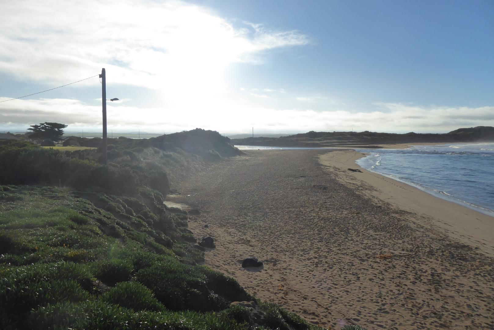
Bad blue-green algae present in the river. Very unpleasant odour. Caravan Park has few customers, Dean says they arrive, smell the odour, have a look at the river and cancel their booking. Local residents have organised a meeting at the Dory Street Boat Ramp at 10.00am on Sunday next to highlight the problem. The local eel catcher has put a video on facebook of his trip down the river, showing large numbers of dead fish near the banks. He plans to do another video next Saturday. It has been publicised on the Port Campbell Beacon website, and on the "Peterborough Press" facebook page. Sorry about the photo upside down. I tried to rotate it, but could not. You may have better luck. If not, I can send you the photo.
|
|
| #14528 | 8 Mar 2022 | Approved |
Notes:
We could not measure the berm height because we could not see the horizon or the pole |
|
| #14470 | 2 Feb 2022 | Approved | ||
| #14432 | 4 Jan 2022 | Approved | ||
| #14388 | 7 Dec 2021 | Approved | ||
| #14333 | 2 Nov 2021 | Approved |
         |
|
| #14304 | 8 Oct 2021 | Approved | ||
| #14299 | 28 Sep 2021 | Approved | ||
| #14271 | 7 Sep 2021 | Approved |
Notes:
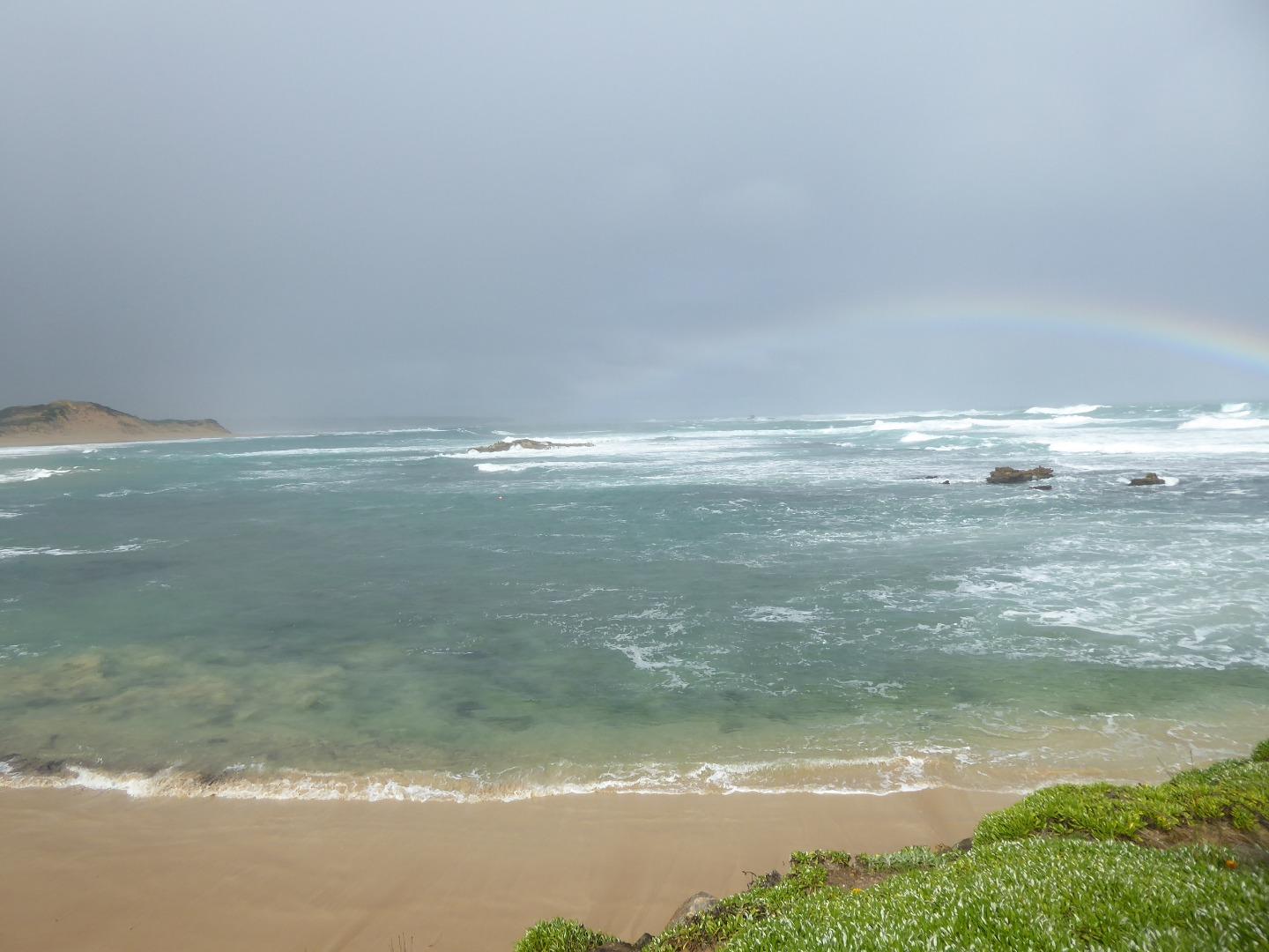
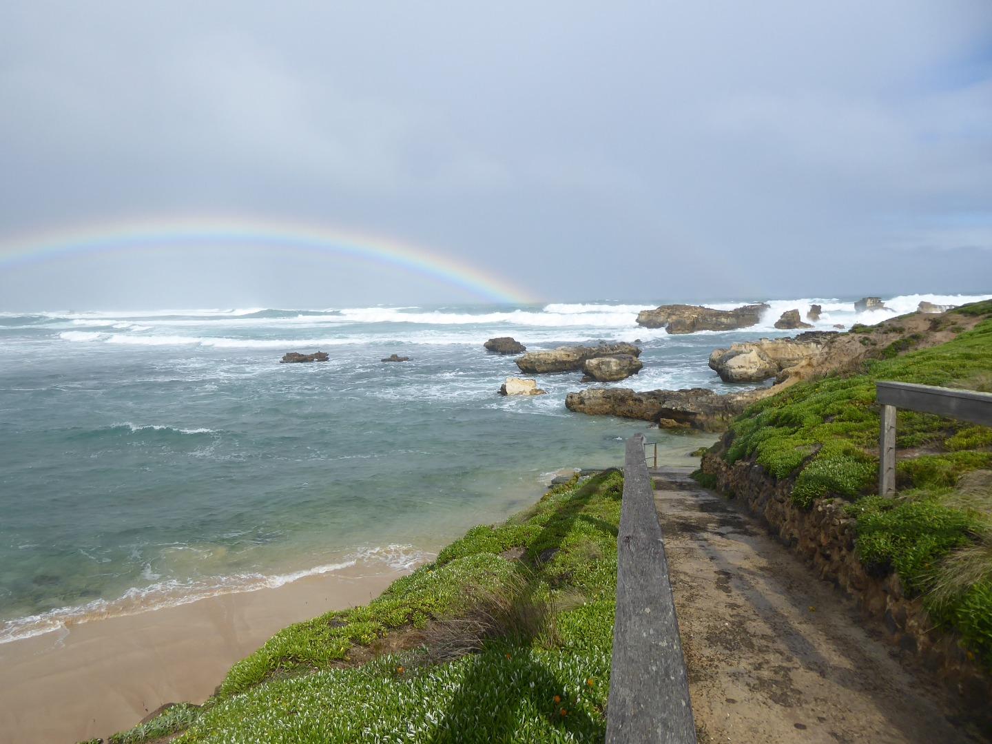
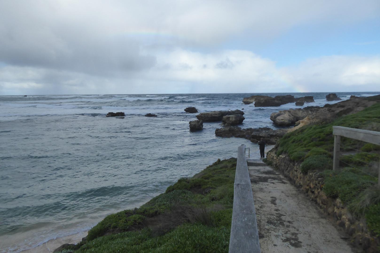
The Photos were taken because a ful;l monitoring session was not possible a/c COVID restrictions. The rainbow in photos CUP1-3 and 4 was a bonus |
|
| #14267 | 27 Aug 2021 | Approved |
Notes:
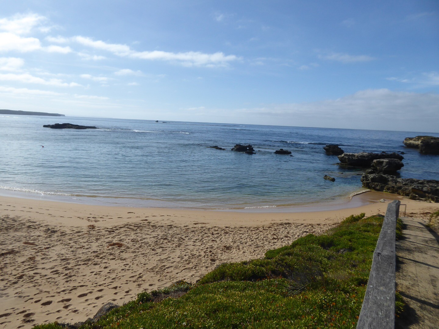
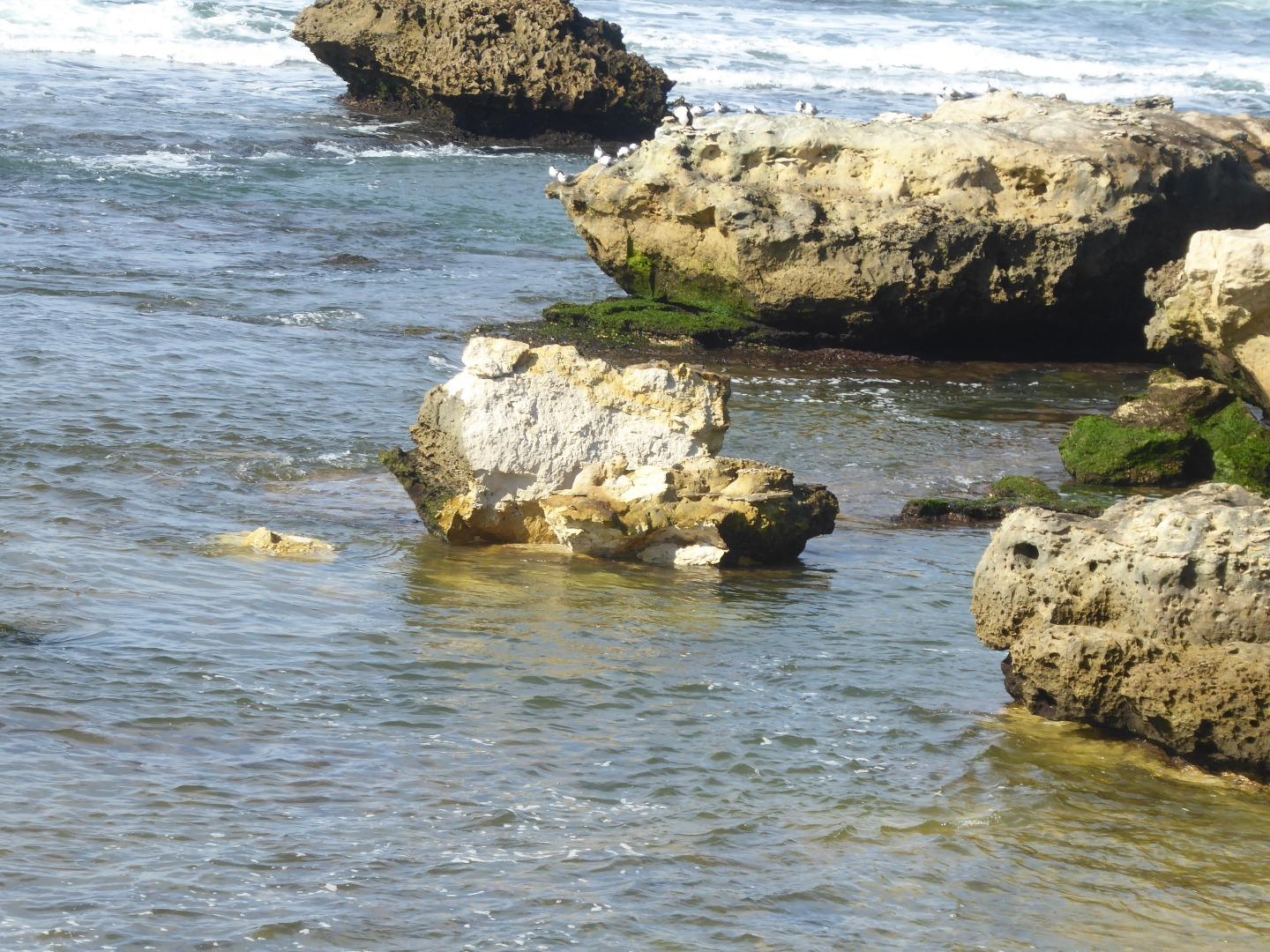
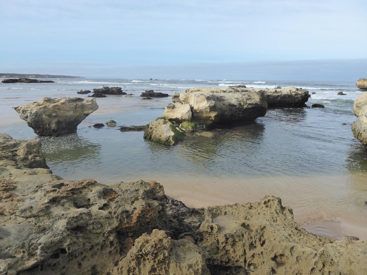
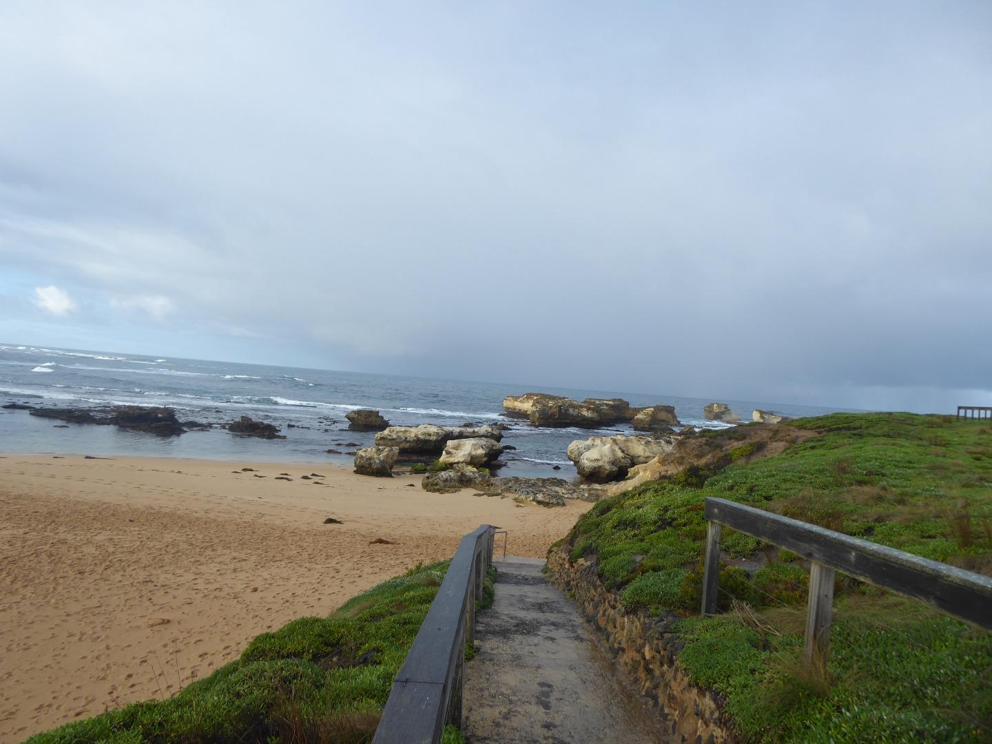
I undertook this Mouth Condition Monitoring mainly because at the popular swimming hole :"The Men's Pool", shown in photo CUP1-4, one of the rocks surrounding the pool broke in half some years ago and slowly moved away from the other half. This rock has further broken up a few days ago |
|
| #14233 | 6 Aug 2021 | Approved |
Notes:
These photos were taken because no photos were taken during the monitoring session on 3/8/21 |
|
| #14232 | 3 Aug 2021 | Approved |
Notes:
Photo point site photos were not taken during this monitoring session, neither was the height gauge read, I plan to take photos and read the height gauge later in the week |
|
| #14190 | 6 Jul 2021 | Approved | ||
| #14154 | 11 Jun 2021 | Approved | ||
| #14153 | 10 Jun 2021 | Approved |
Notes:
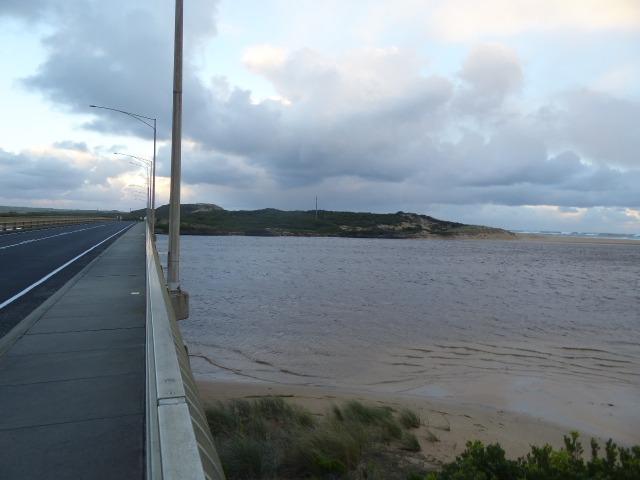
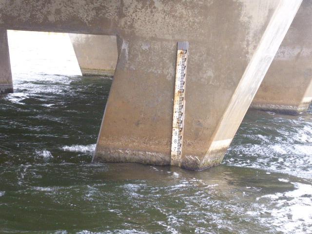
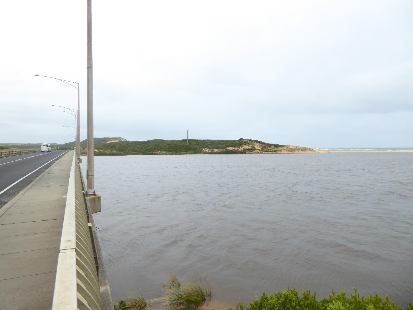
Photos taken after major rain when the river was on the verge of closing. It is now running out strongly despite strong Southerly winds. River height has climbed from 0.10 metres to 1.35 meters (on the on-line height record) in four days. |
|
| #14144 | 30 May 2021 | Approved |
Notes:
Opening of the river is continuing |
|
| #14143 | 29 May 2021 | Approved |
Notes:
The Estuary was artificially opened on the afternoon of 28/5/21 |
|
| #14096 | 4 May 2021 | Approved | ||
| #14050 | 9 Apr 2021 | Approved |
|
|
| #13997 | 2 Mar 2021 | Approved | ||
| #13968 | 2 Feb 2021 | Approved |
Notes:
Photos taken during the monitoring session were blurred because thr camera was on the wrong setting. The photos were re-taken later in the day.
|
|
| #13918 | 5 Jan 2021 | Approved |
Notes:
As I was doing the observation alone. I was unable to measure the Berm height above the river or the sea. |
|
| #13915 | 29 Dec 2020 | Approved | ||
| #13905 | 14 Dec 2020 | Approved | ||
| #13897 | 12 Dec 2020 | Approved | ||
| #13884 | 1 Dec 2020 | Approved | ||
| #13824 | 3 Nov 2020 | Approved |
Notes:
Chemical testing of the estuary was not carried out because of COVID restrictions |
|
| #13809 | 6 Oct 2020 | Approved |
Notes:
Sally Loveridge also attended.
|
|
| #13781 | 1 Sep 2020 | Approved |
|
|
| #13768 | 6 Aug 2020 | Approved | ||
| #13767 | 5 Aug 2020 | Approved | ||
| #13738 | 7 Jul 2020 | Approved |
Notes:
Height Gauge reading at start of monitoring was scaled, as the gauge was unreadable. The LaquaTwin pH meter did not appear to be operating properly, as I have reported previously. When calibrated, both pH 4 and ph 7 tests gave a reading of 7.1 Is it possible that the test chemicals were incorrectly labled?
|
|
| #13735 | 4 Jul 2020 | Approved |
Notes:
Observation taken because of advice that the Curdies is to be artificially opened today |
|
| #13734 | 1 Jul 2020 | Approved | ||
| #13733 | 23 Jun 2020 | Approved | ||
| #13718 | 2 Jun 2020 | Approved | ||
| #13703 | 7 May 2020 | Approved | ||
| #13701 | 7 May 2020 | Approved | ||
| #13700 | 6 May 2020 | Approved | ||
| #13699 | 5 May 2020 | Approved |
 |
|
| #13698 | 3 May 2020 | Approved |
  |
|
| #13697 | 29 Mar 2020 | Approved |
 |
|
| #13603 | 3 Mar 2020 | Approved | ||
| #13555 | 4 Feb 2020 | Approved | ||
| #13487 | 7 Jan 2020 | Approved |
Notes:
Boggy Creek monitoring site was not undertaken this month because the monitoring site was under water.
Boggy Creek monitoring was not visited today, because the high river level prevented access to the monitoring site.
|
|
| #13441 | 3 Dec 2019 | Approved |
Notes:
Monitoring of the Boggy Creek site was not undertaken because the monitoring site was under water 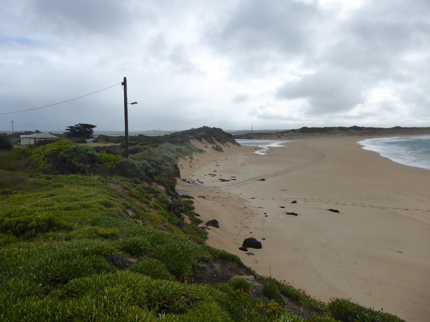 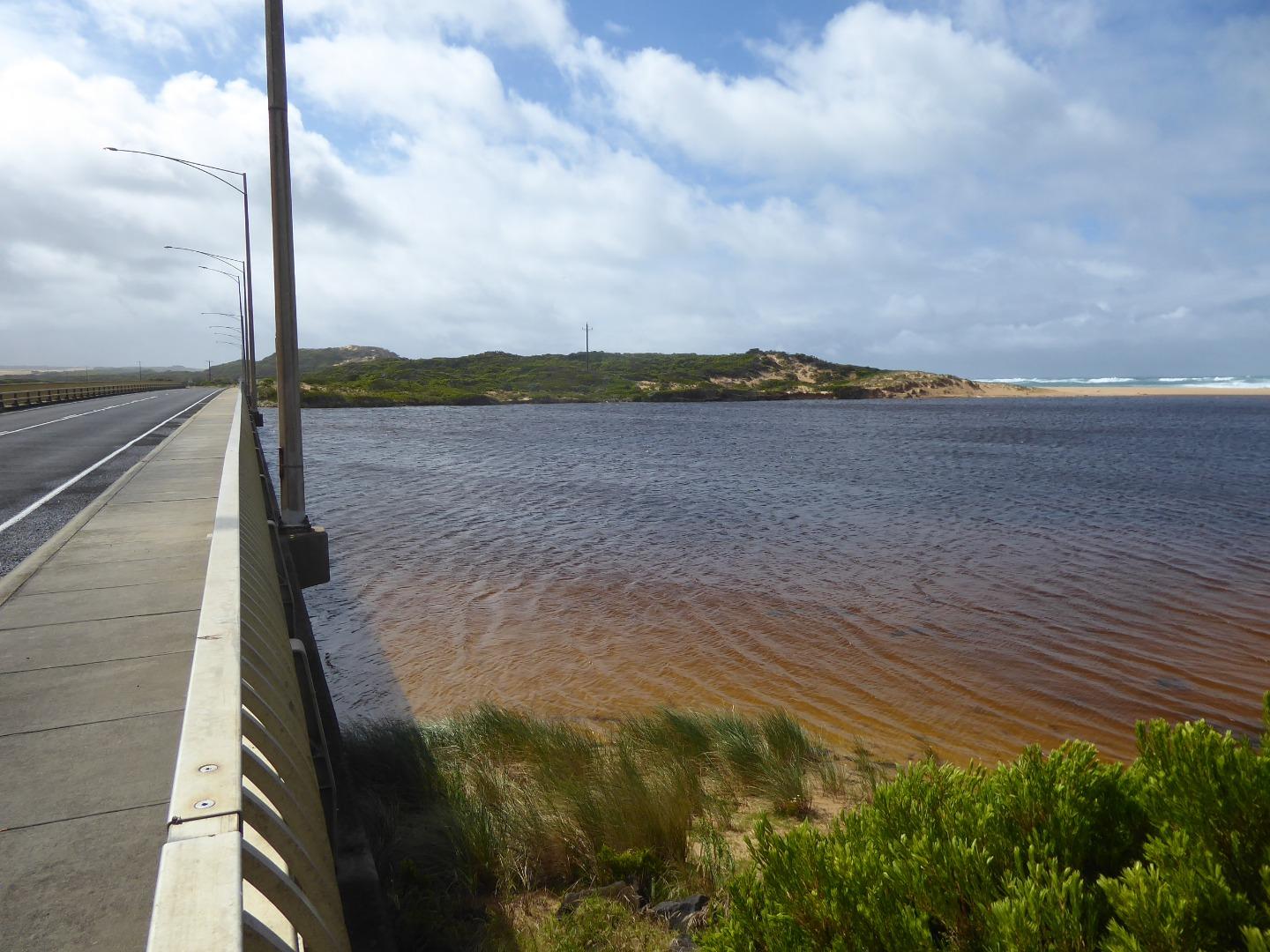 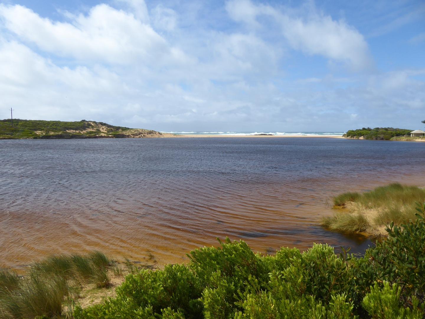 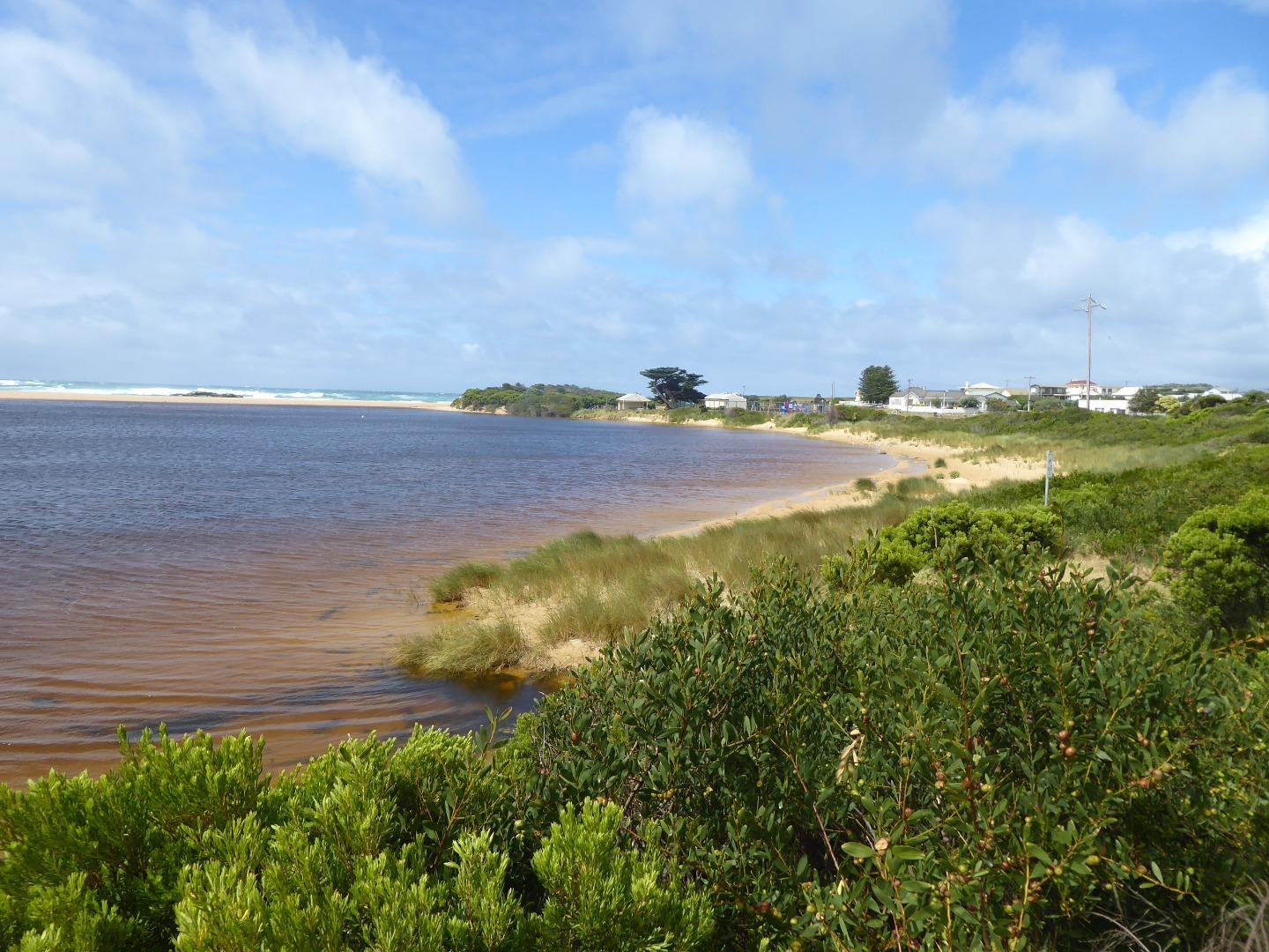 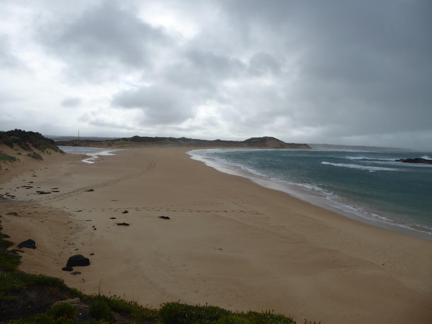  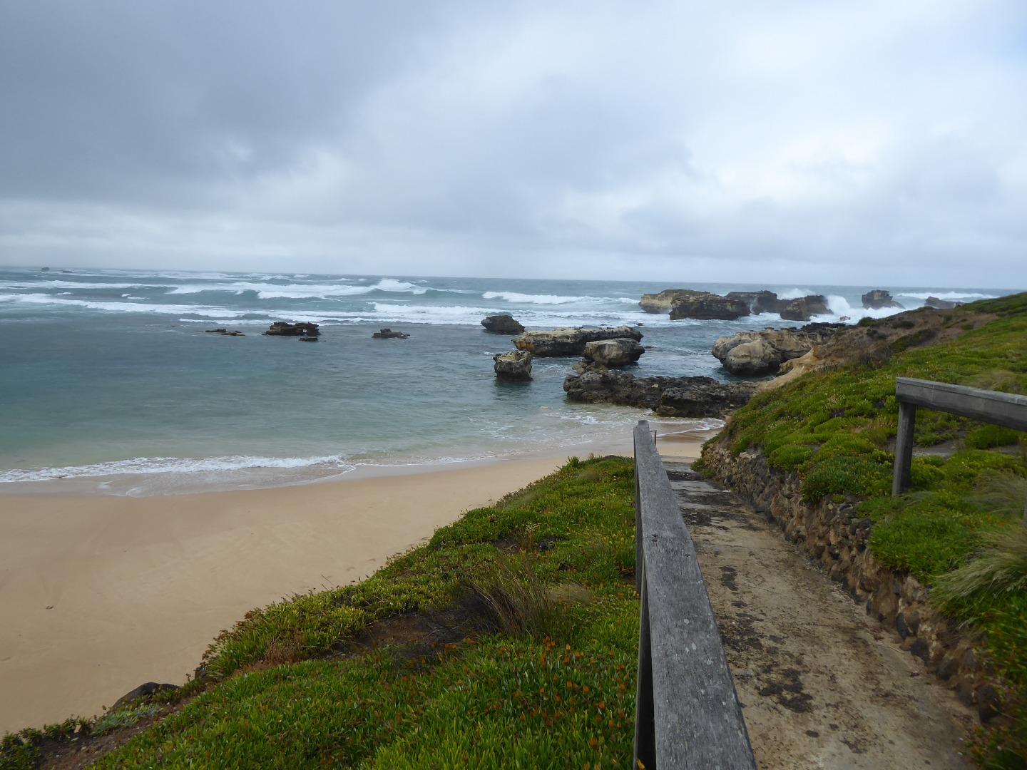 |
|
| #13387 | 5 Nov 2019 | Approved |
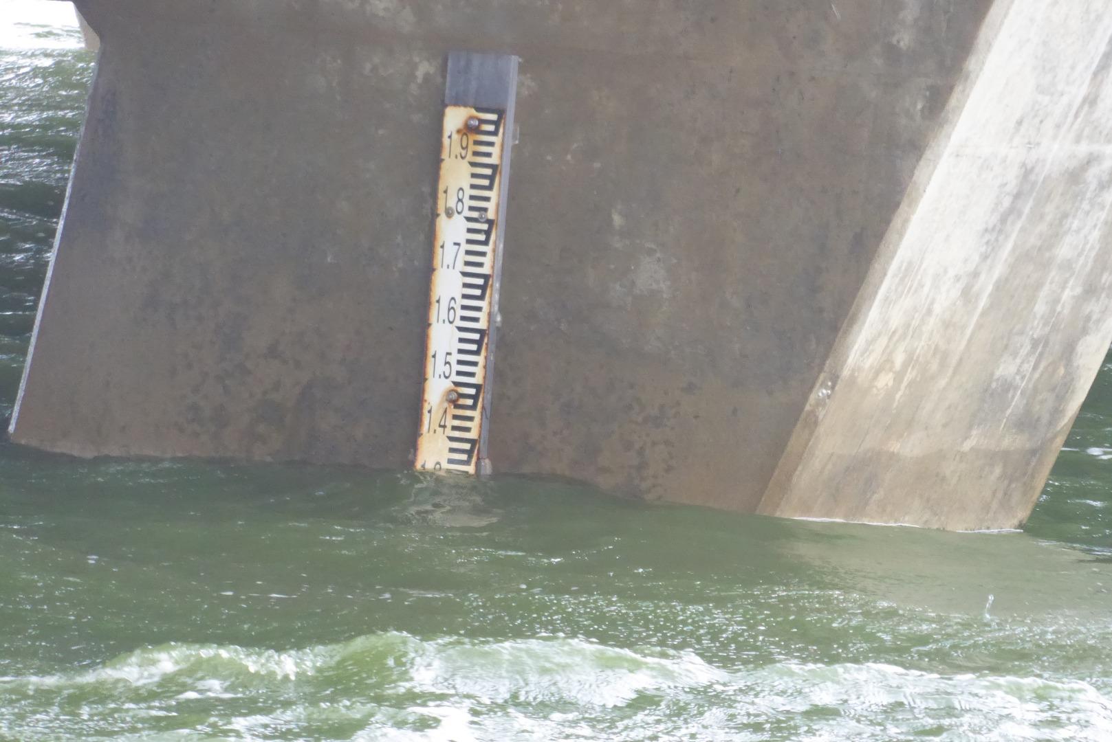
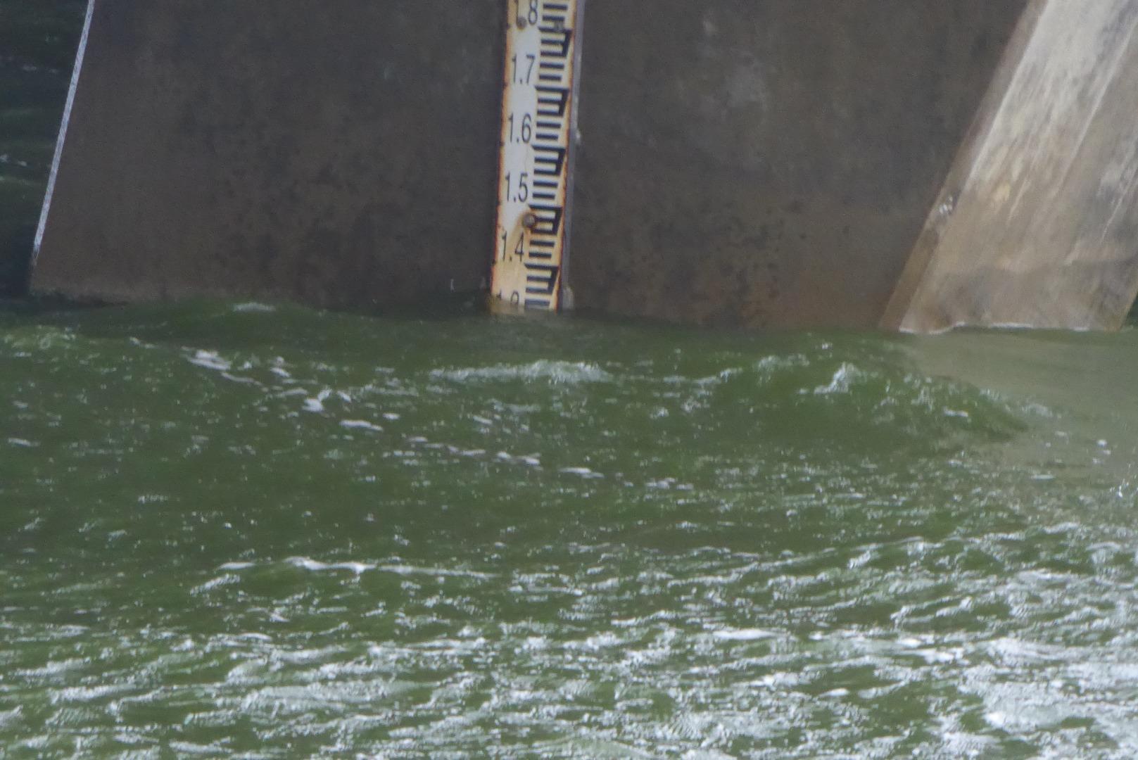
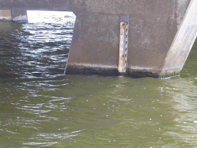
Notes:
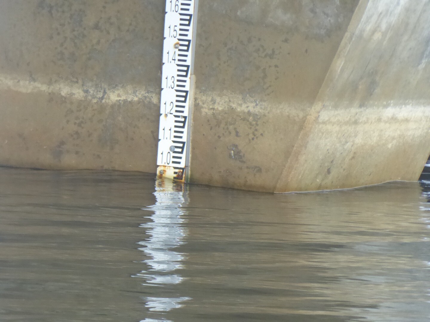
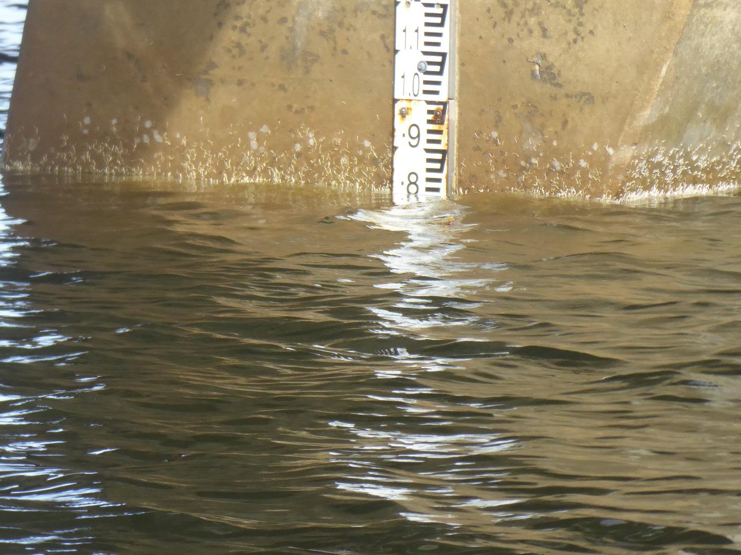
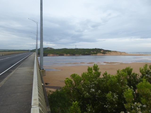
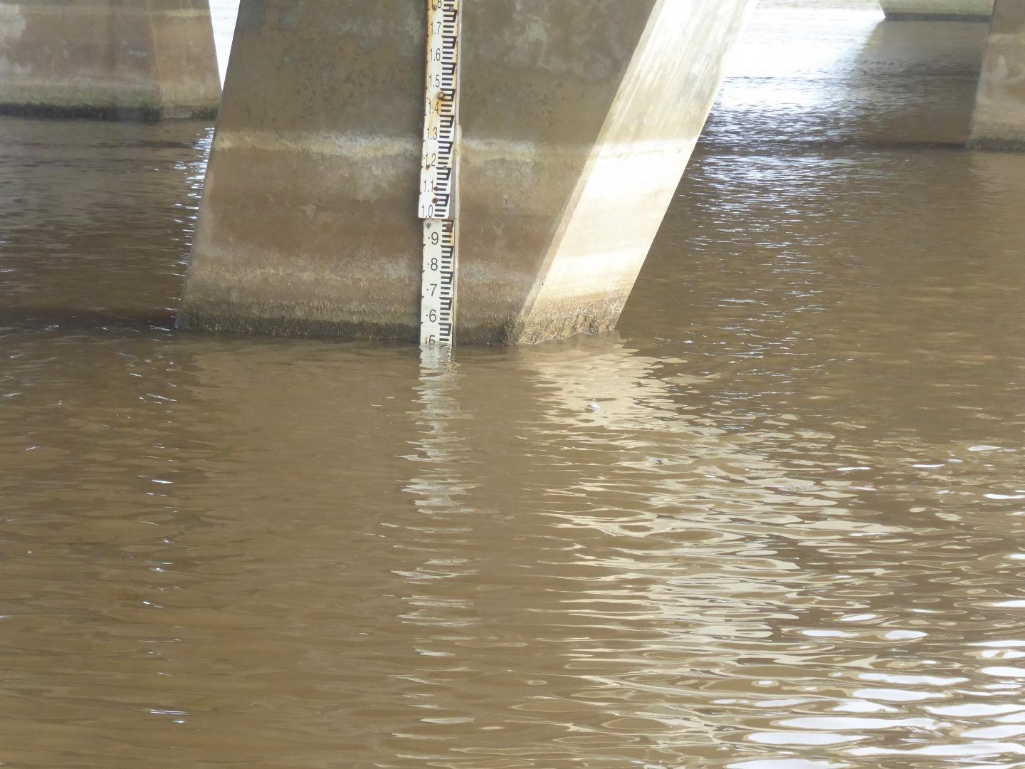
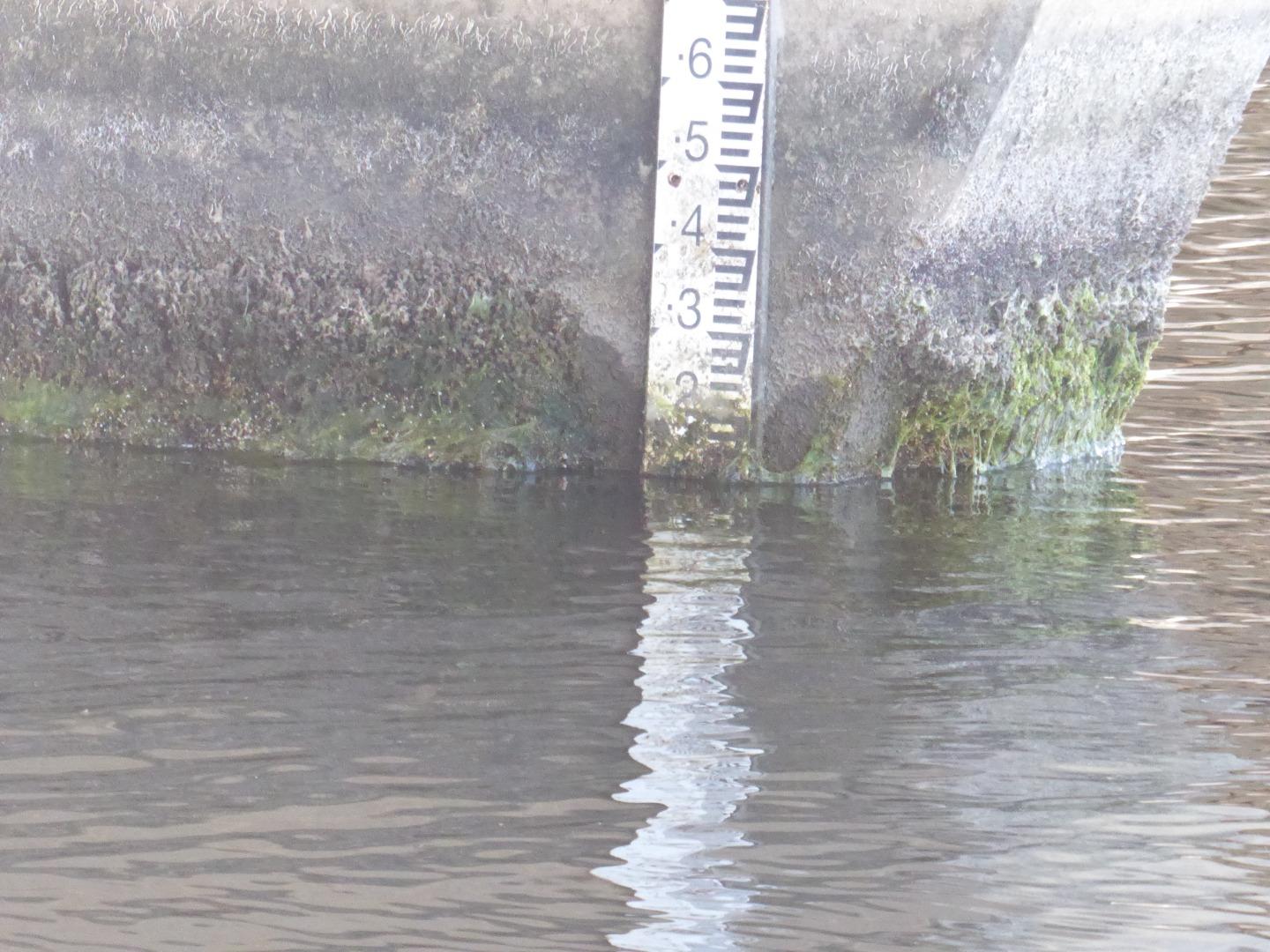
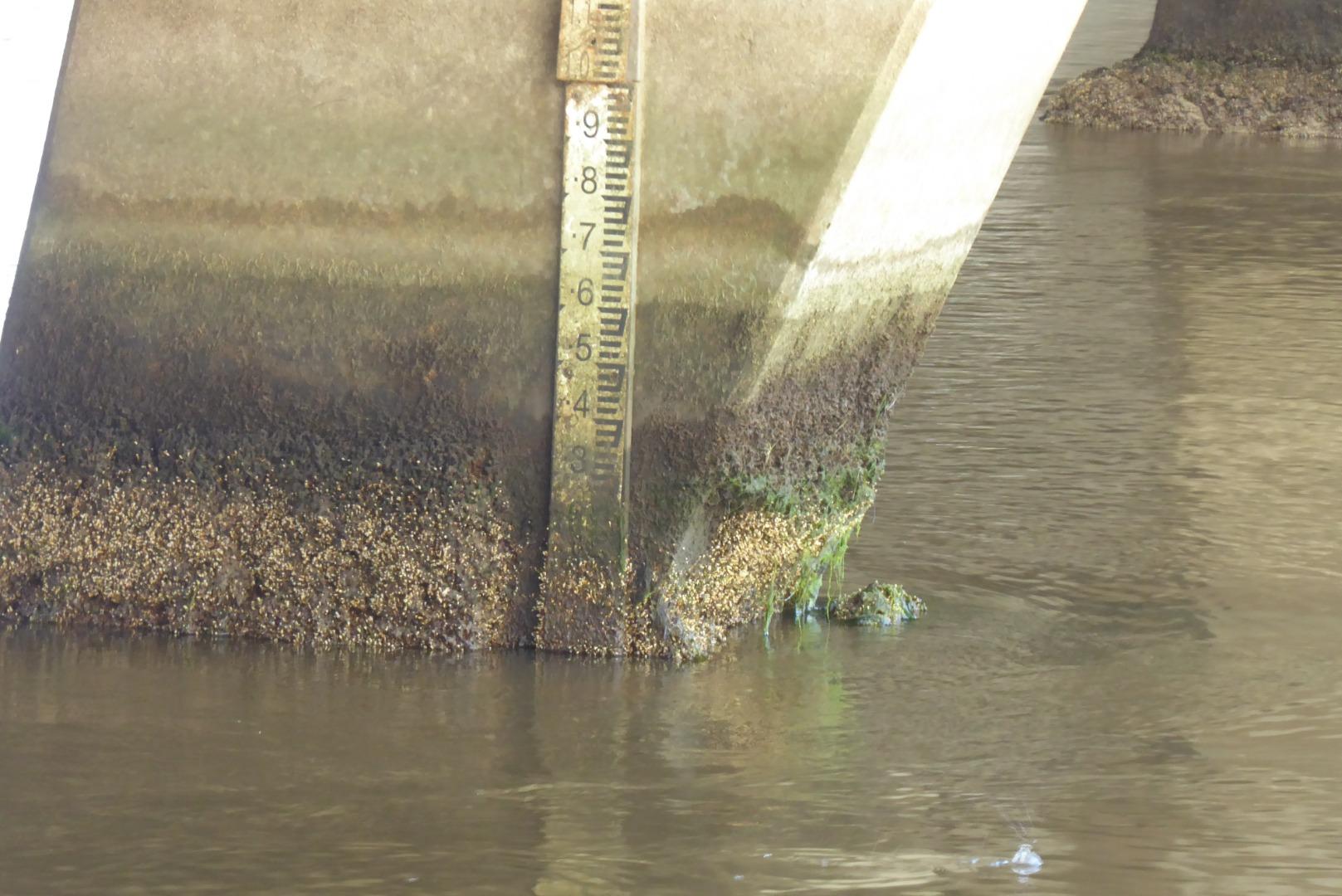
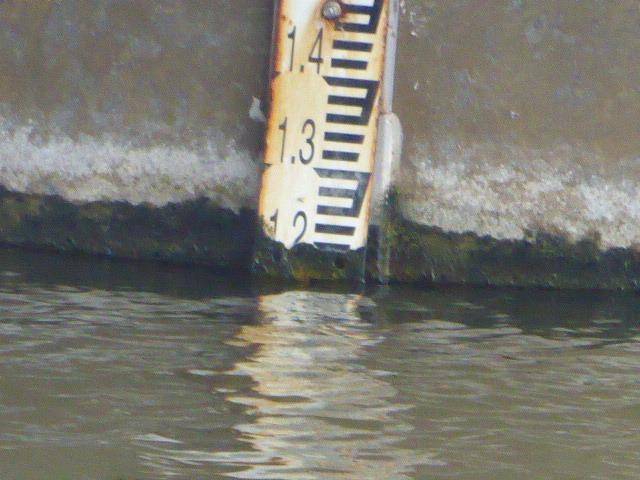
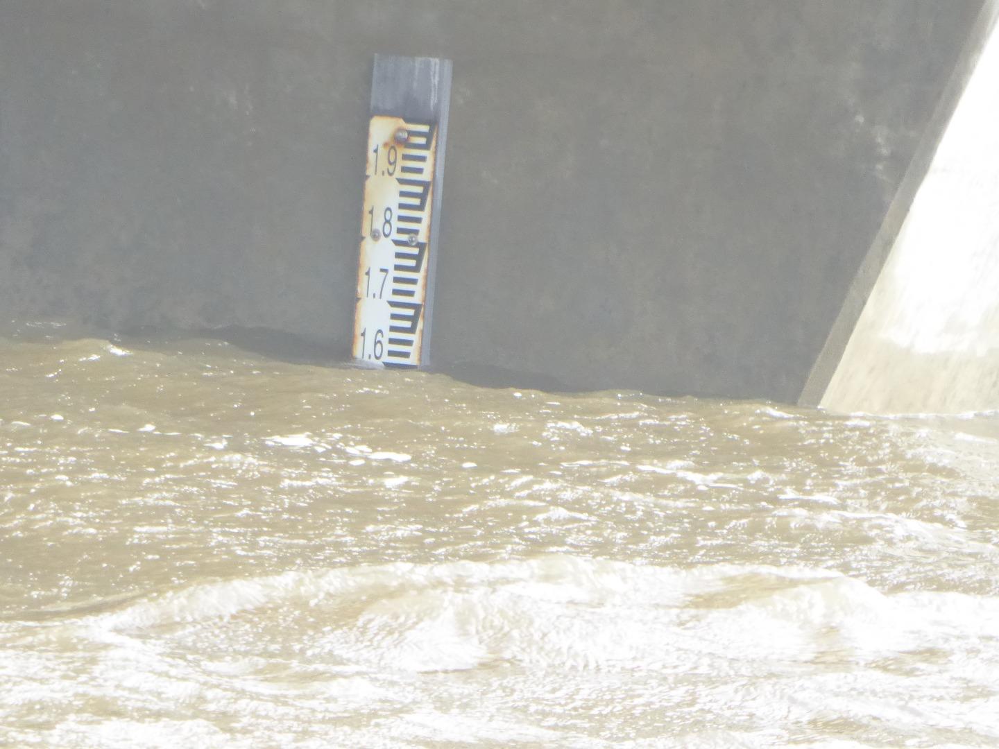
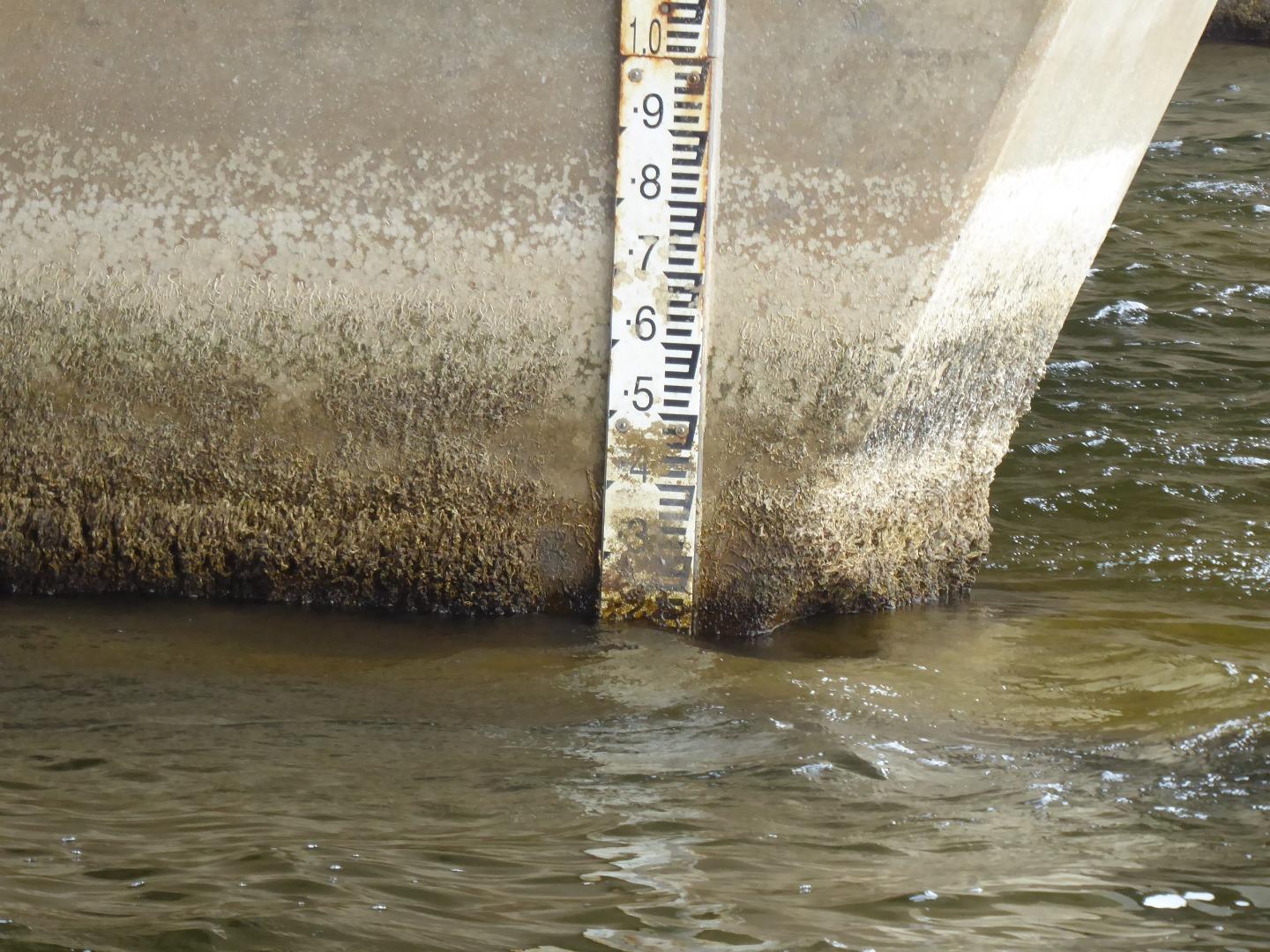
Height Gauge on bridge pylon is dirty and thus difficult to read. It needs to be scrubbed or replaced if accurate readings are to be obtained.
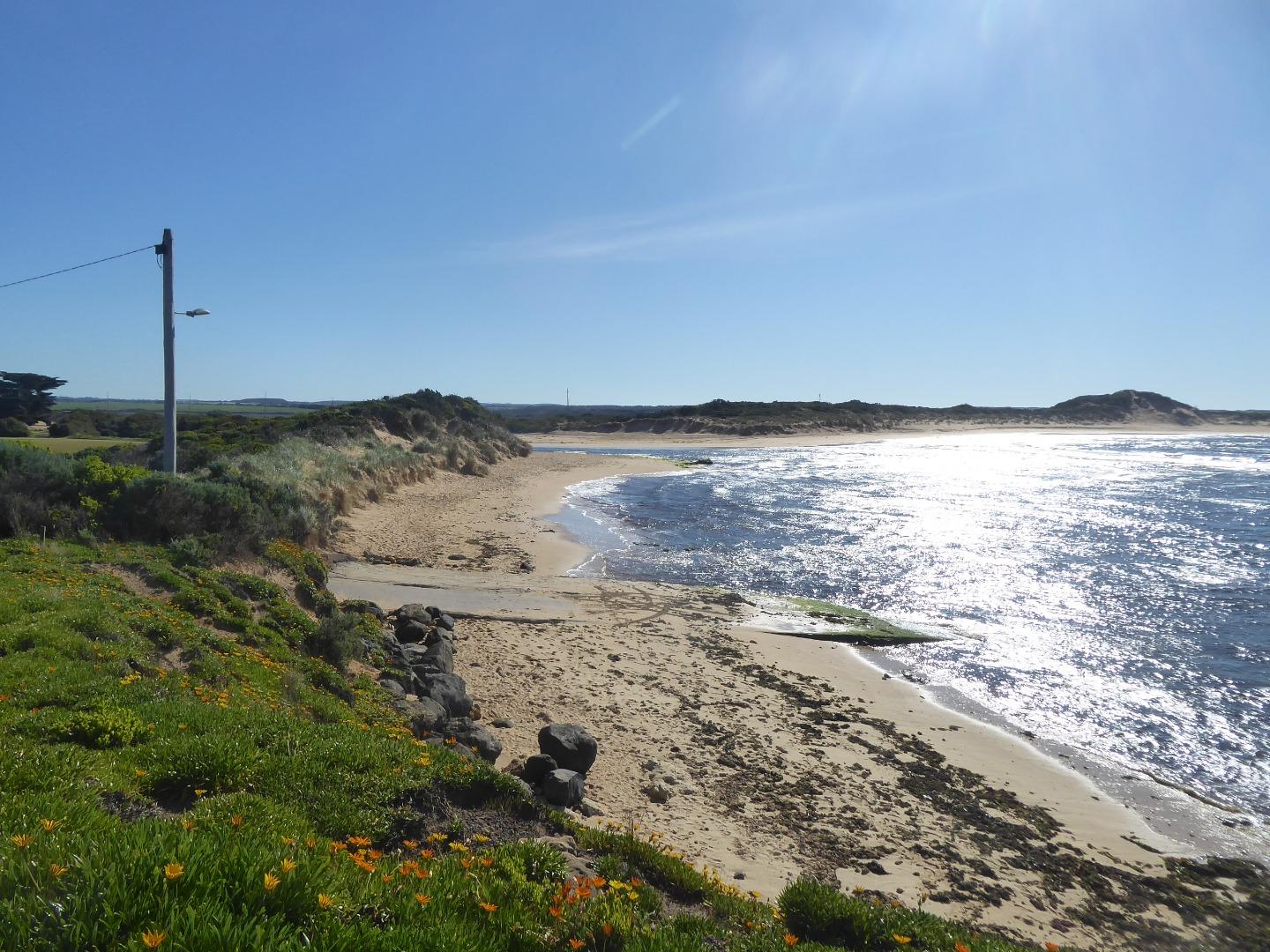
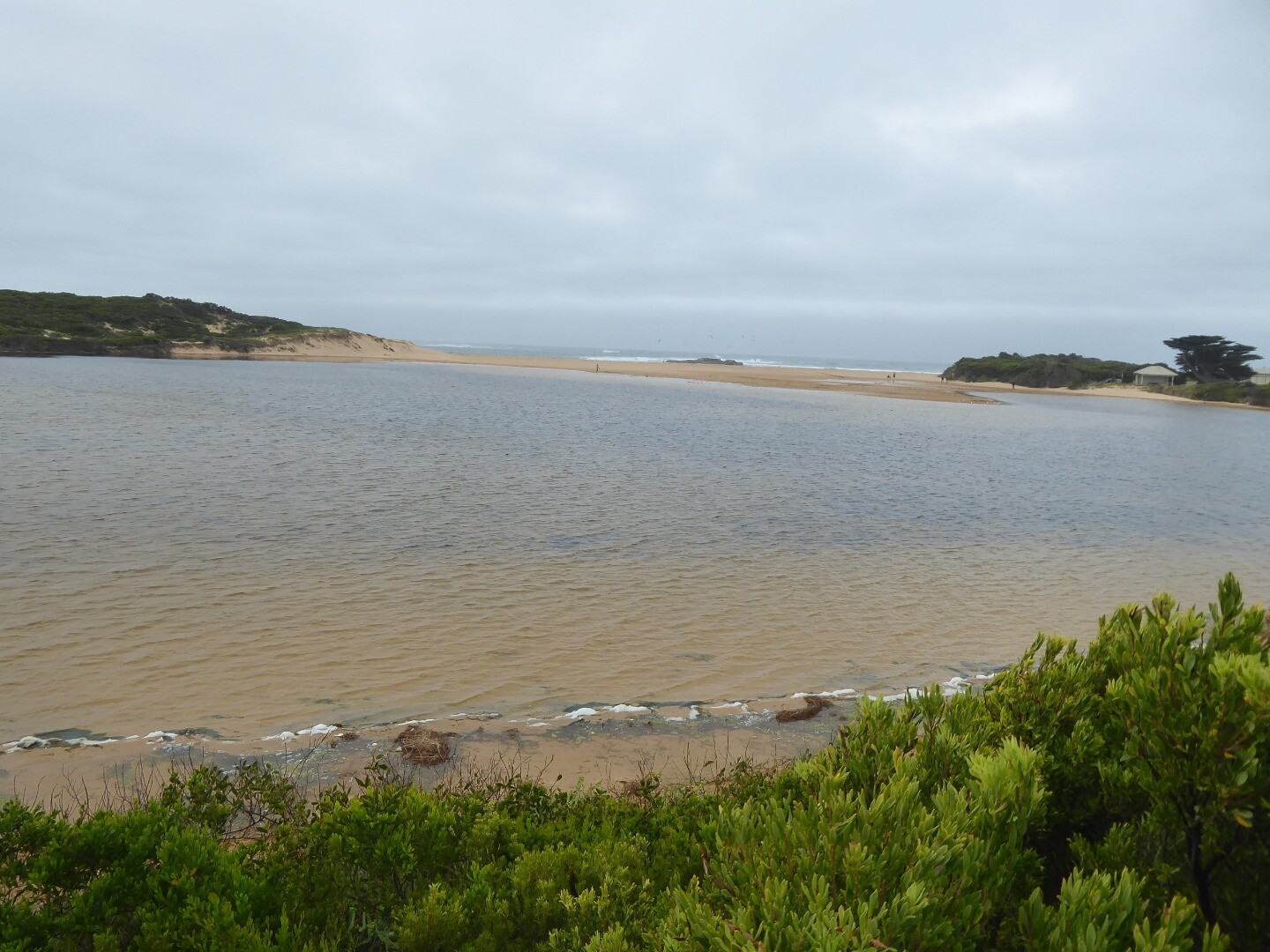
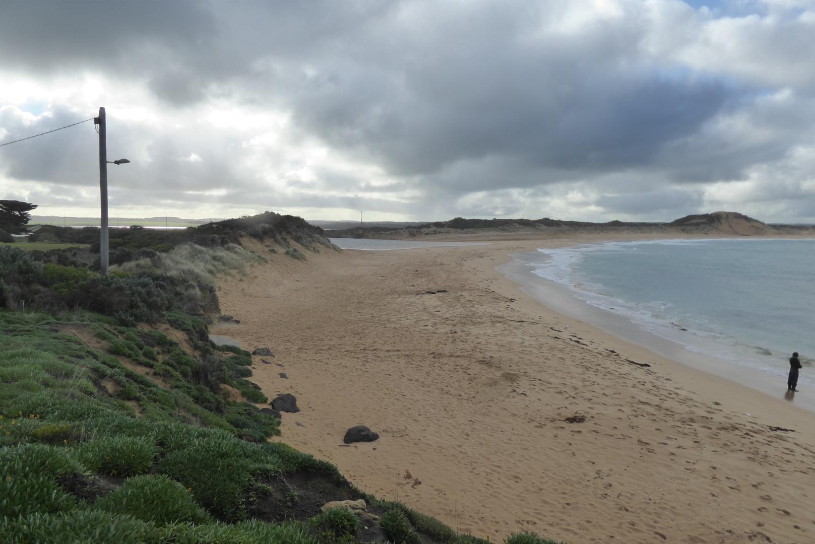
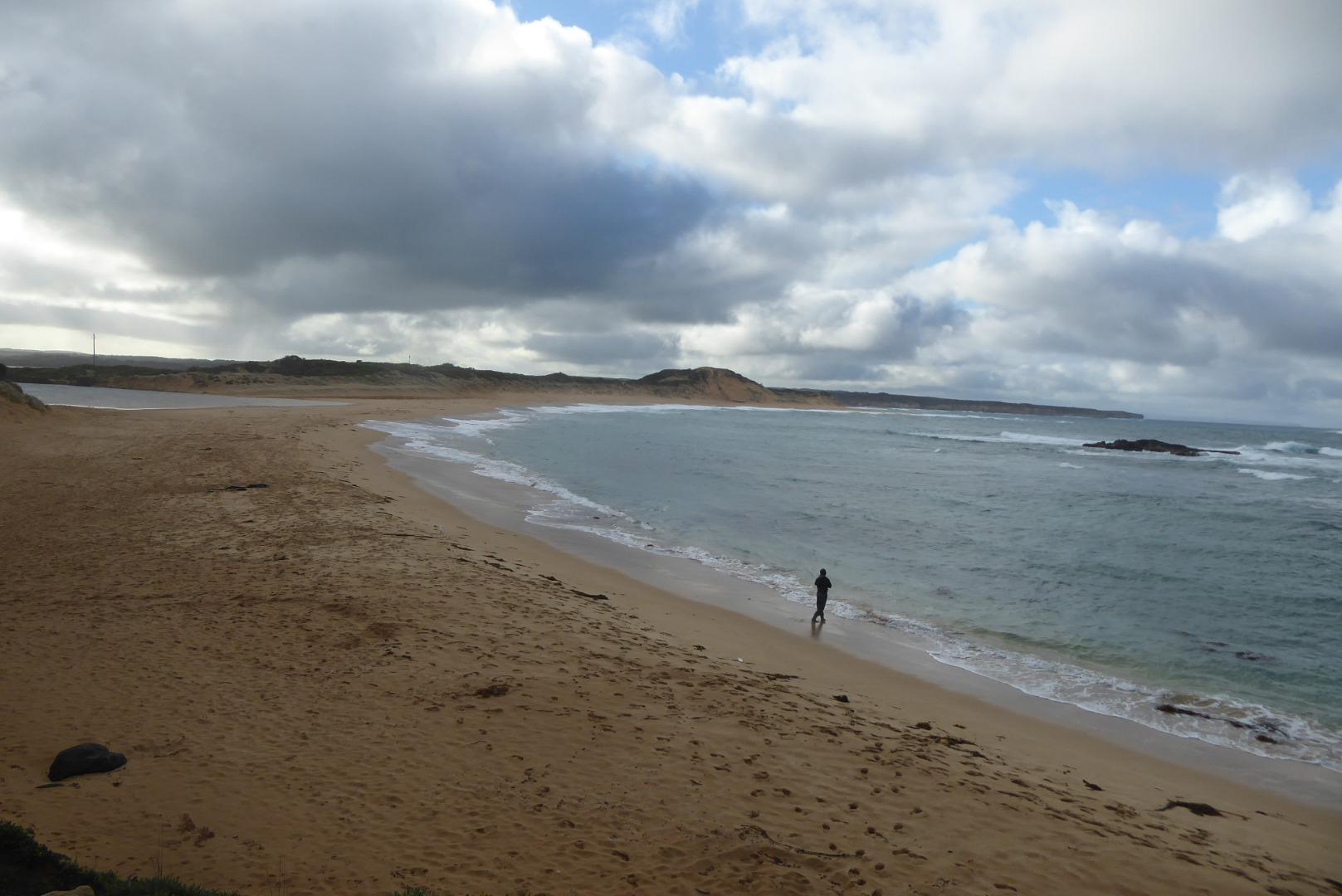
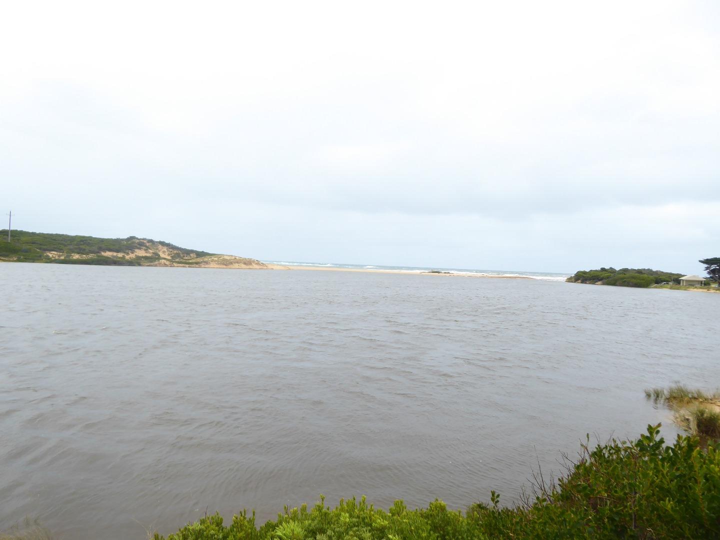
The river is close to closing. A strong southerly wind will close it. The river closed on 6th November 2019
|
|
| #13346 | 1 Oct 2019 | Approved |
Notes:
We used the last of our chemicals to calibrate the multi-function meter, and will be unable to re-calibrate this meter until more chemicals are provided. When we attended at Simpson recently, we were promised that our chemicals would be replenished, and we gave all our spare bottles to staff at the function for refilling |
|
| #13304 | 3 Sep 2019 | Approved | ||
| #13231 | 6 Aug 2019 | Approved | ||
| #13204 | 2 Jul 2019 | Approved |
Notes:
The Curdies River closed on 6th July 2019, and re-opened naturally on 10th July 2019 |
|
| #13152 | 18 Jun 2019 | Approved |
Notes:
Sorry again for the photo quality. |
|
| #13148 | 17 Jun 2019 | Approved |
Notes:
My apology for the quality of some of the photosa, it apparently slipped back from 5 Meg to 0.3 meg. 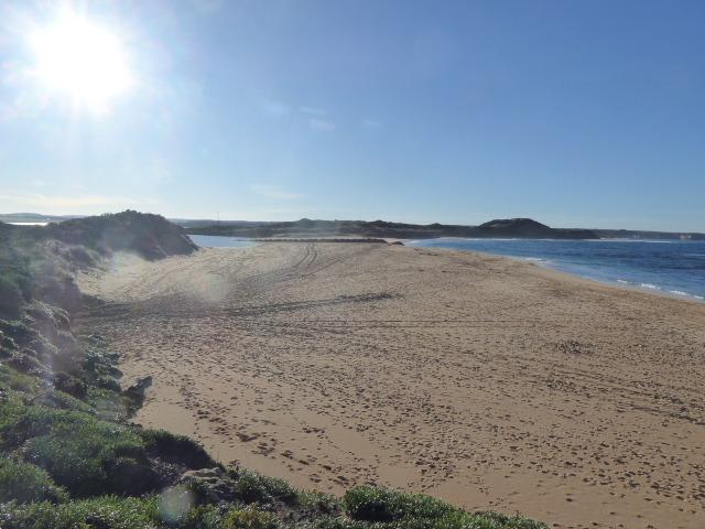 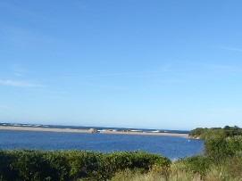 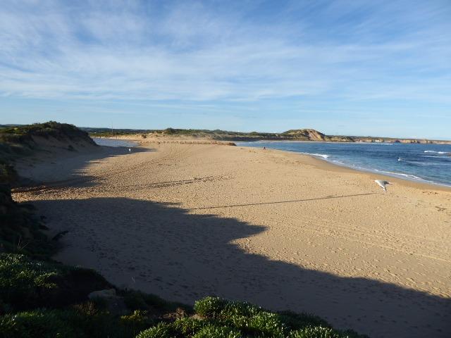 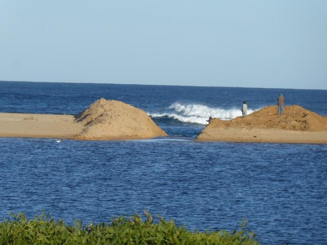 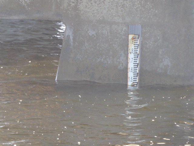 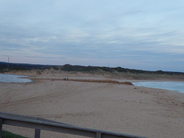 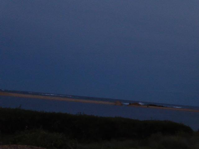 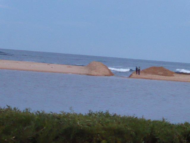 |
|
| #13128 | 16 Jun 2019 | Approved |
Notes:
River opening commenced at approx 8.00am, and the digger left at approx 10.00am, with low flows of water from the river. 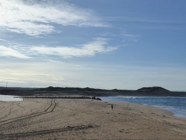 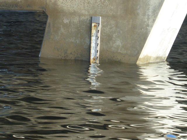 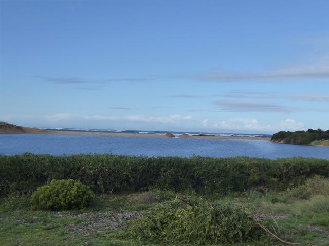 |
|
| #13122 | 15 Jun 2019 | Approved |
Notes:
These readings and photos were taken because of information that the river is to be opened tat 5.00 am Sunday 16th June 2019 |
|
| #13108 | 4 Jun 2019 | Approved | ||
| #12906 | 7 May 2019 | Approved |
Notes:
It was not possible to measure the Berm height from either the sea or the river.
the physical conditions for the last two weeks, weres so varied with very strong winds from the North, South and West, as well as calm conditions, with sea states from smooth seas to high seas. |
|
| #12811 | 2 Apr 2019 | Approved | ||
| #12741 | 5 Mar 2019 | Approved |
Notes:
The height gauge is very dirty. It was impossible to read the gauge with accuracy, readings were scaled from the photos I took, which I have uploaded. |
|
| #12696 | 12 Feb 2019 | Approved |
Notes:
Height board was very dirty, making accurate heights difficult, particularly when combined with the swell. (See photos.) |
|
| #12630 | 8 Jan 2019 | Approved | ||
| #12567 | 4 Dec 2018 | Approved | ||
| #12488 | 6 Nov 2018 | Approved |
Notes:
Estuary close to closing, unless more heavy rain son. |
|
| #12438 | 9 Oct 2018 | Approved | ||
| #12371 | 4 Sep 2018 | Approved |
Notes:
Wind and sea conditions were very variable over the past two weeks at this site |
|
| #12327 | 14 Aug 2018 | Approved | ||
| #12291 | 24 Jul 2018 | Approved |
Notes:
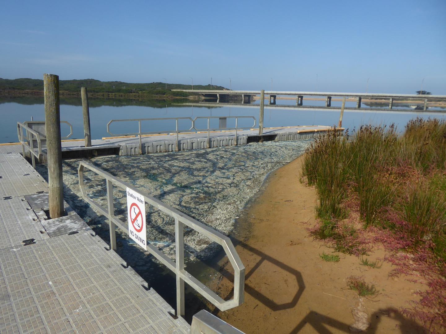
Bitterly cold and windy conditions. We almost lost out equipment box at the pontoon, the wind blew it to the edge of the pontoon, and we just managed to catch it in time. Cath Bell was not able to go to Boggy Creek, so we completed only the Dory Street monitoring. Ther was a distinct change in the colour of the water at the pontoon, in a line at about 30 degrees to the pontoon, with darker brown water near the pontoon, lighter brown further out. See the photo. |
|
| #12232 | 3 Jul 2018 | Approved |
Notes:
Marg O'Toole brought another volunteer with her, I had not met her before, but she apparently came to the recent QA session in Port Campbell. She was interested and enthusiatic. I will add her to my mailout about future monitoring sessions, if you agree.
|
|
| #12208 | 26 Jun 2018 | Approved |
Notes:
Estuary seems to have settled down after opening on 17th June 18 |
|
| #12182 | 19 Jun 2018 | Approved |
Notes:
Photos of the Curdies Estuary approx 30 hours after the natural opening. Also a photo of the height gauge, and a photo of the further breakup of the rock at the Men's Pool near the estuary |
|
| #12167 | 18 Jun 2018 | Approved |
Notes:
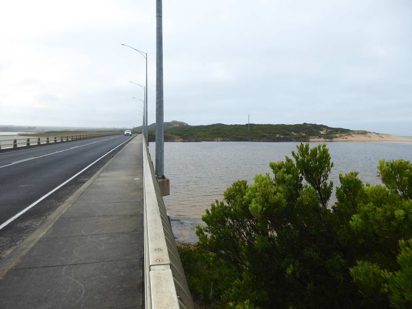
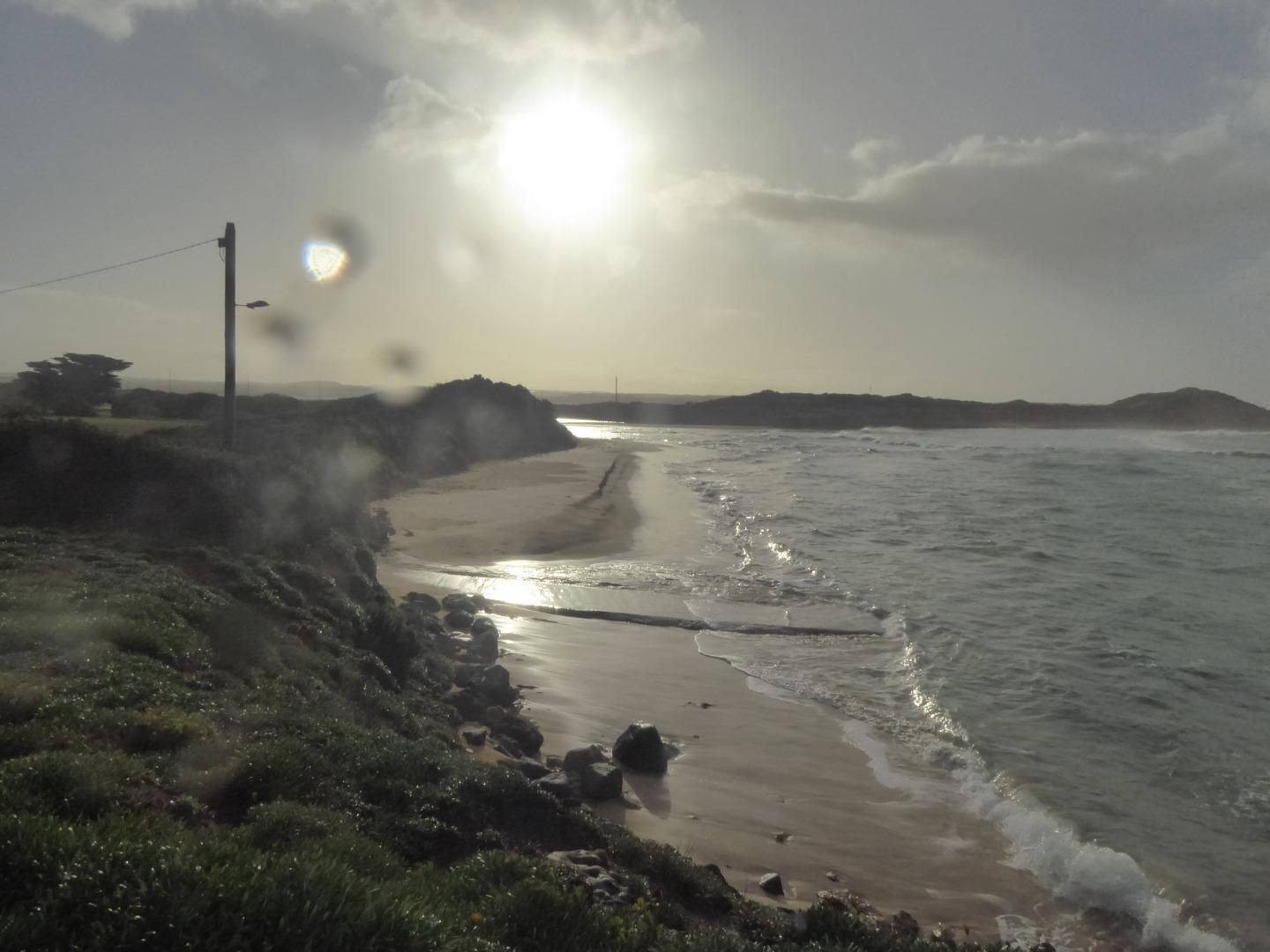
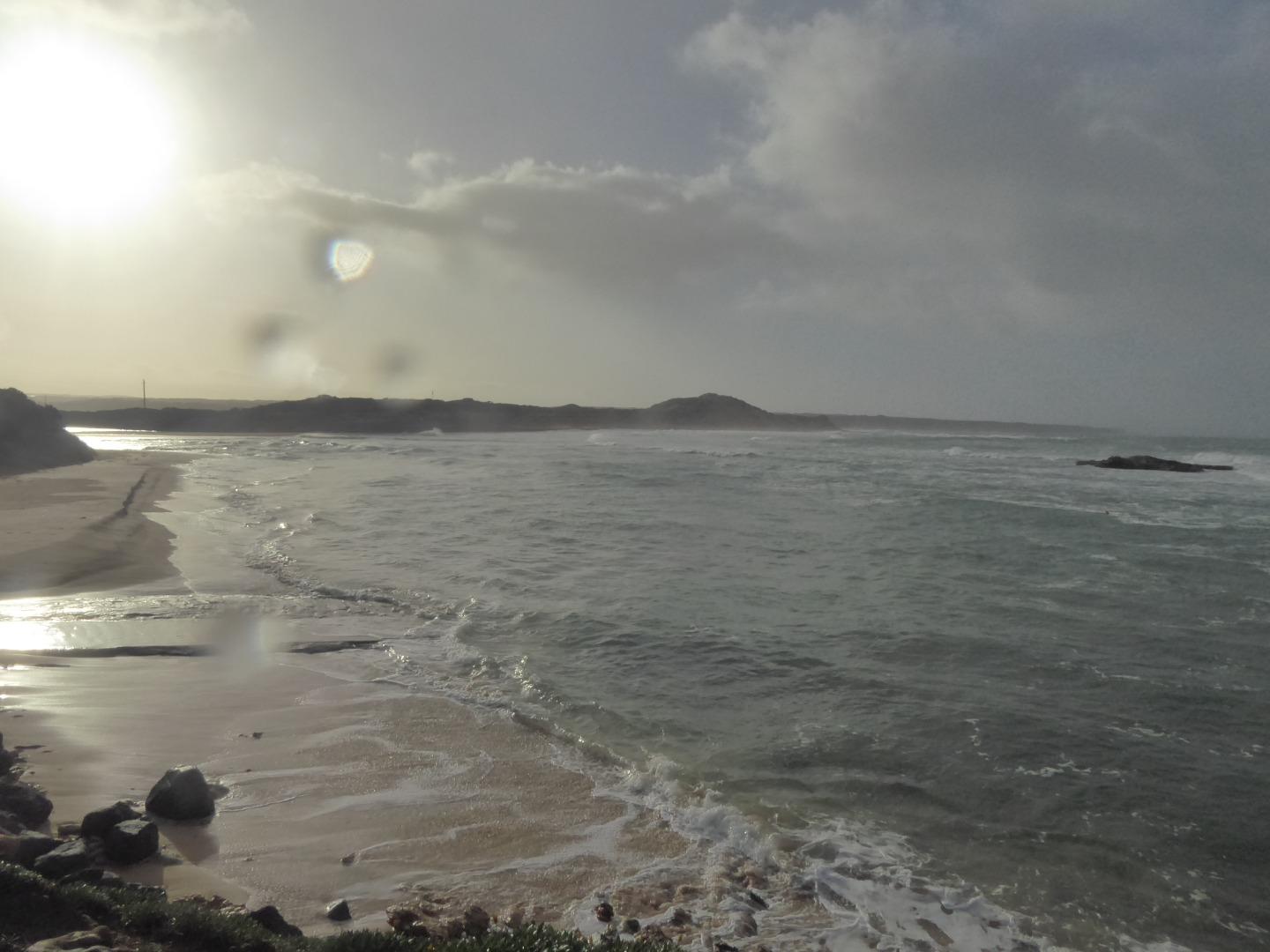
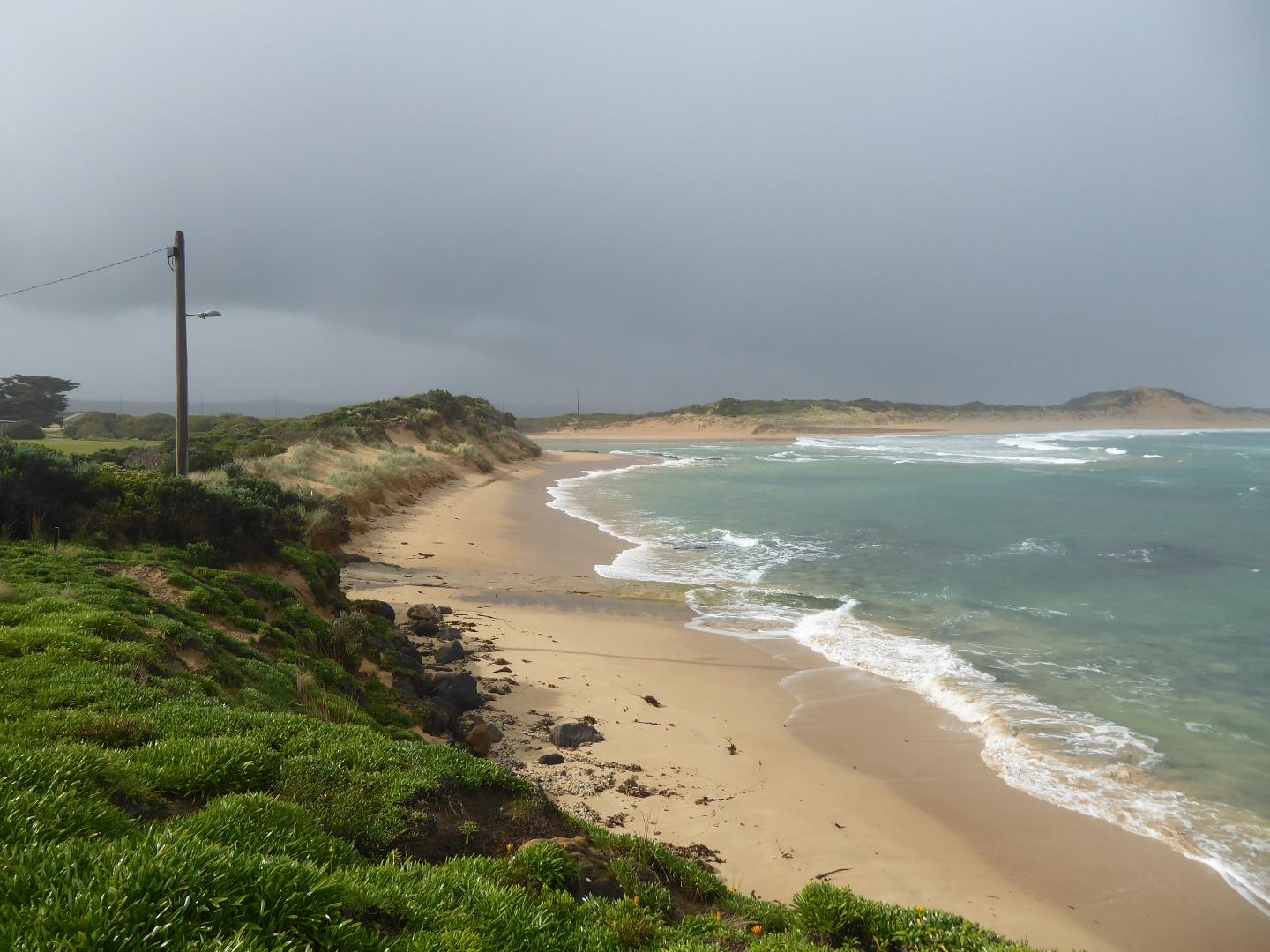
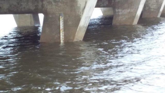
Natural river opening occurred overnight, after large amount of water came down the river. Height gauge was almost completely covered when inspected, (see photo), but there was evidence of higher water levels earlier. The Great Ocean Road had approx 150 cm water over the road just east of Peterborough, and the caravan park was flooded. |
|
| #12162 | 17 Jun 2018 | Approved |
Notes:
These photos were taken because of the high seas and strong winds, resulting in waves flowing over the berm, and because the river level is very high, (well over the level at which artificial opening is recommended |
|
| #12115 | 5 Jun 2018 | Approved |
Notes:
Another rock at the Point near the Curdies mouth has broken in half in the last week or so. I have included a photo of it. |
|
| #12009 | 1 May 2018 | Approved | ||
| #11933 | 3 Apr 2018 | Approved | ||
| #11878 | 13 Mar 2018 | Approved | ||


All content, files, data and images provided by the EstuaryWatch Data Portal and Gallery are subject to a Creative Commons Attribution License
Content is made available to be used in any way, and should always attribute EstuaryWatch and www.estuarywatch.org.au