EstuaryWatch Data Portal
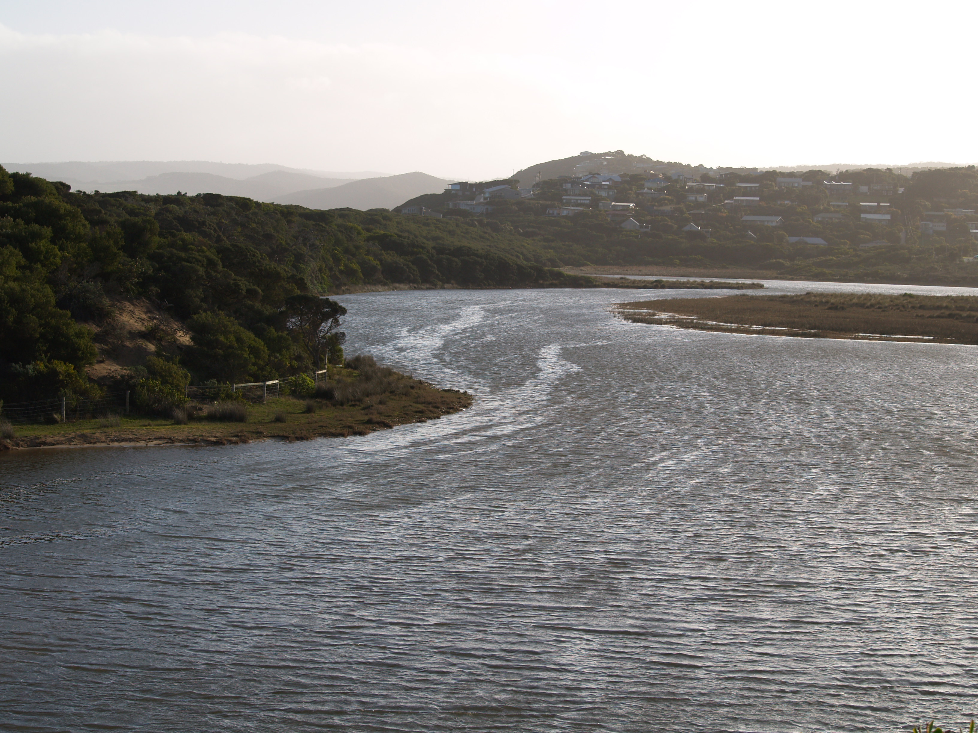
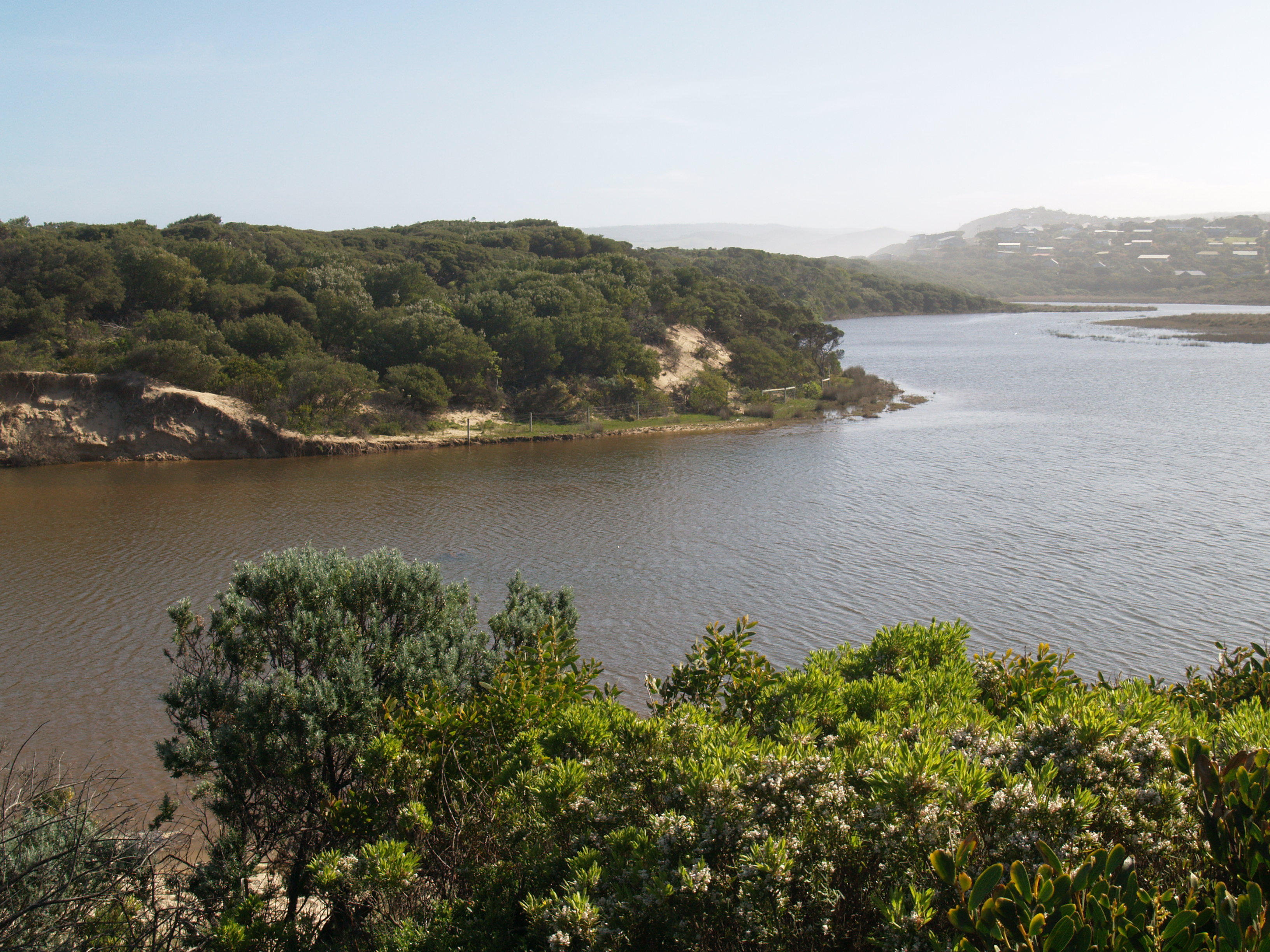
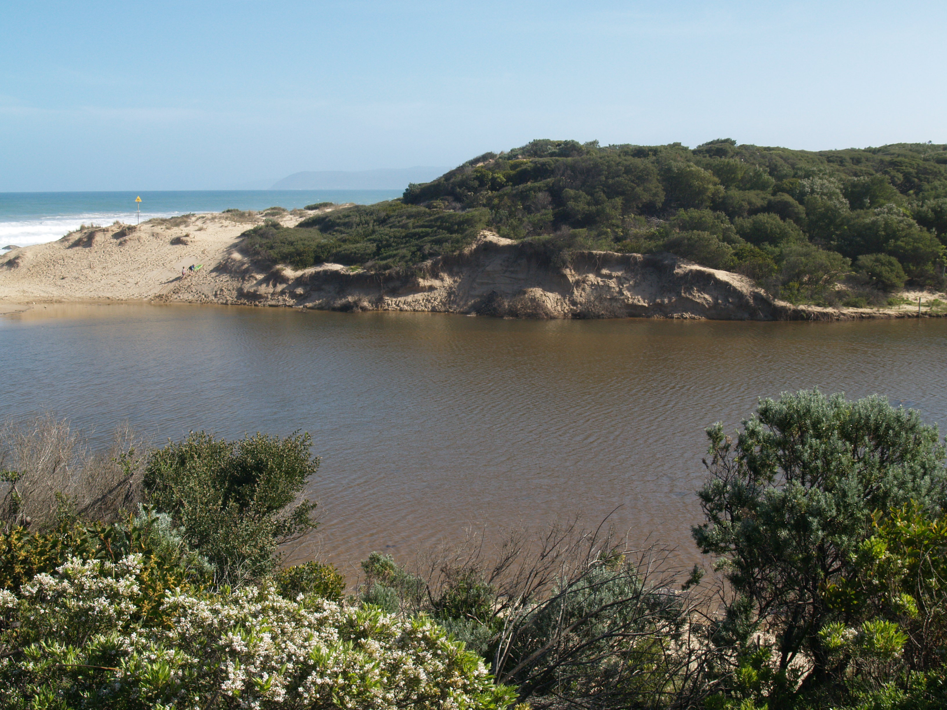
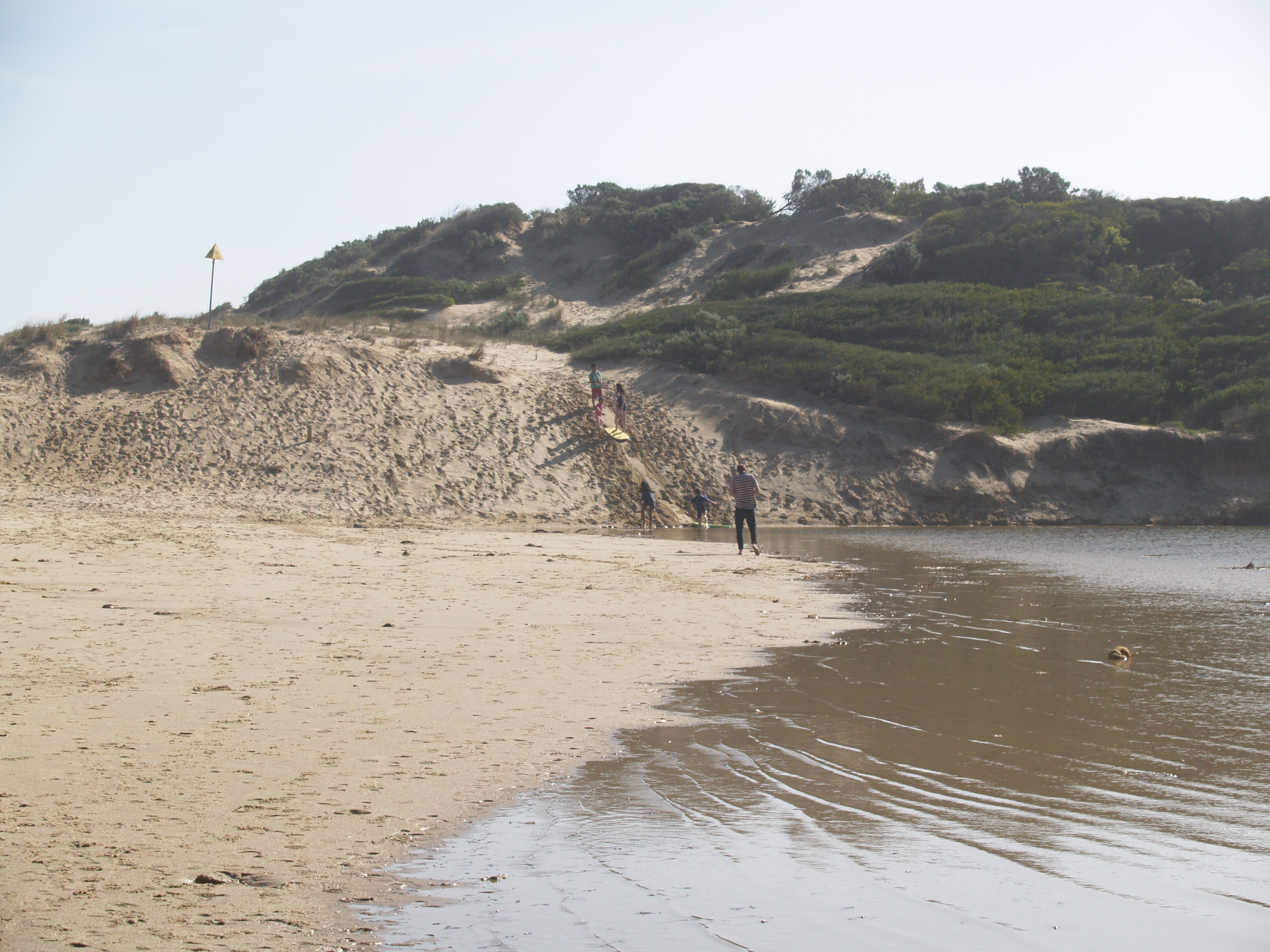
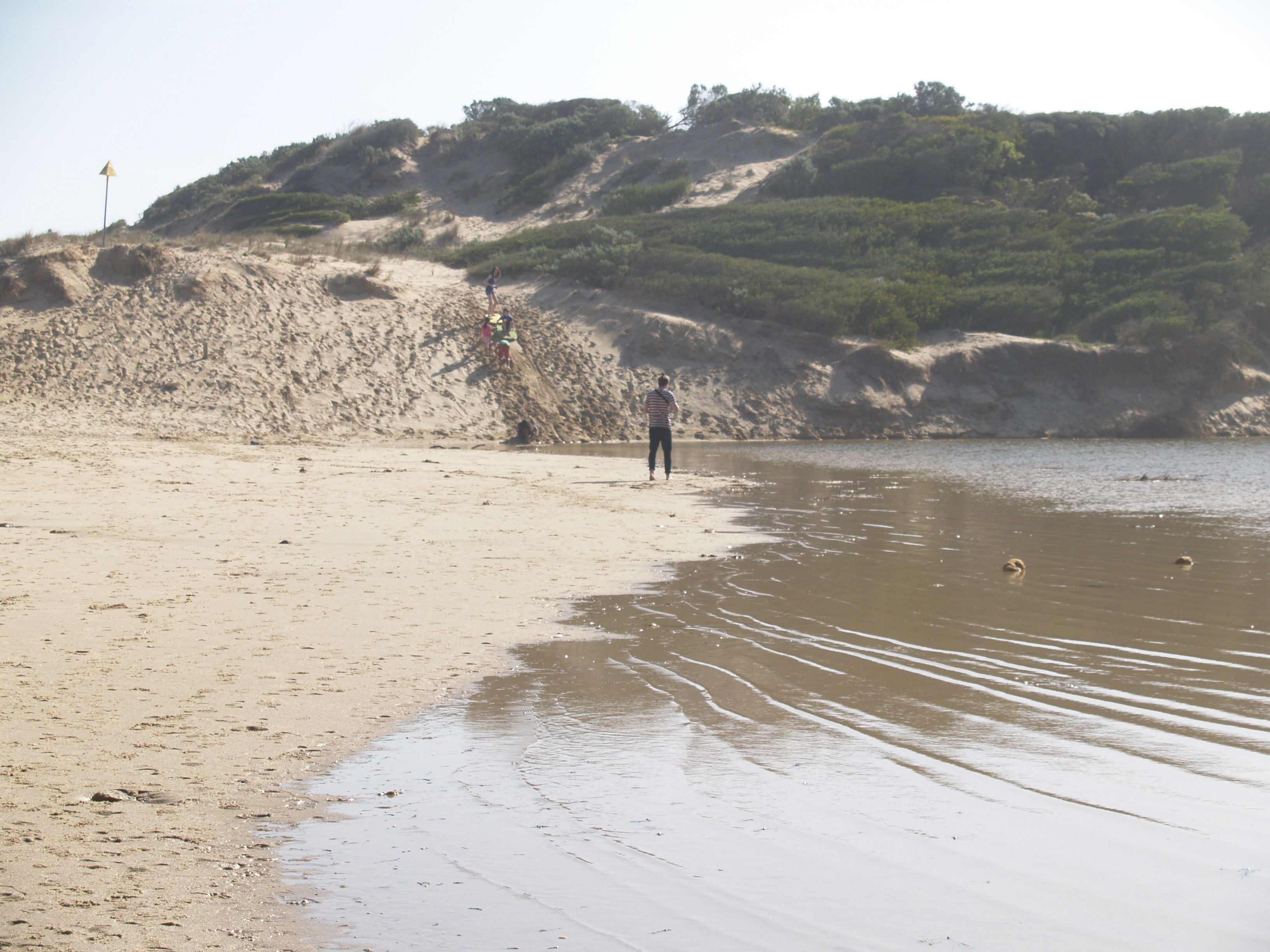
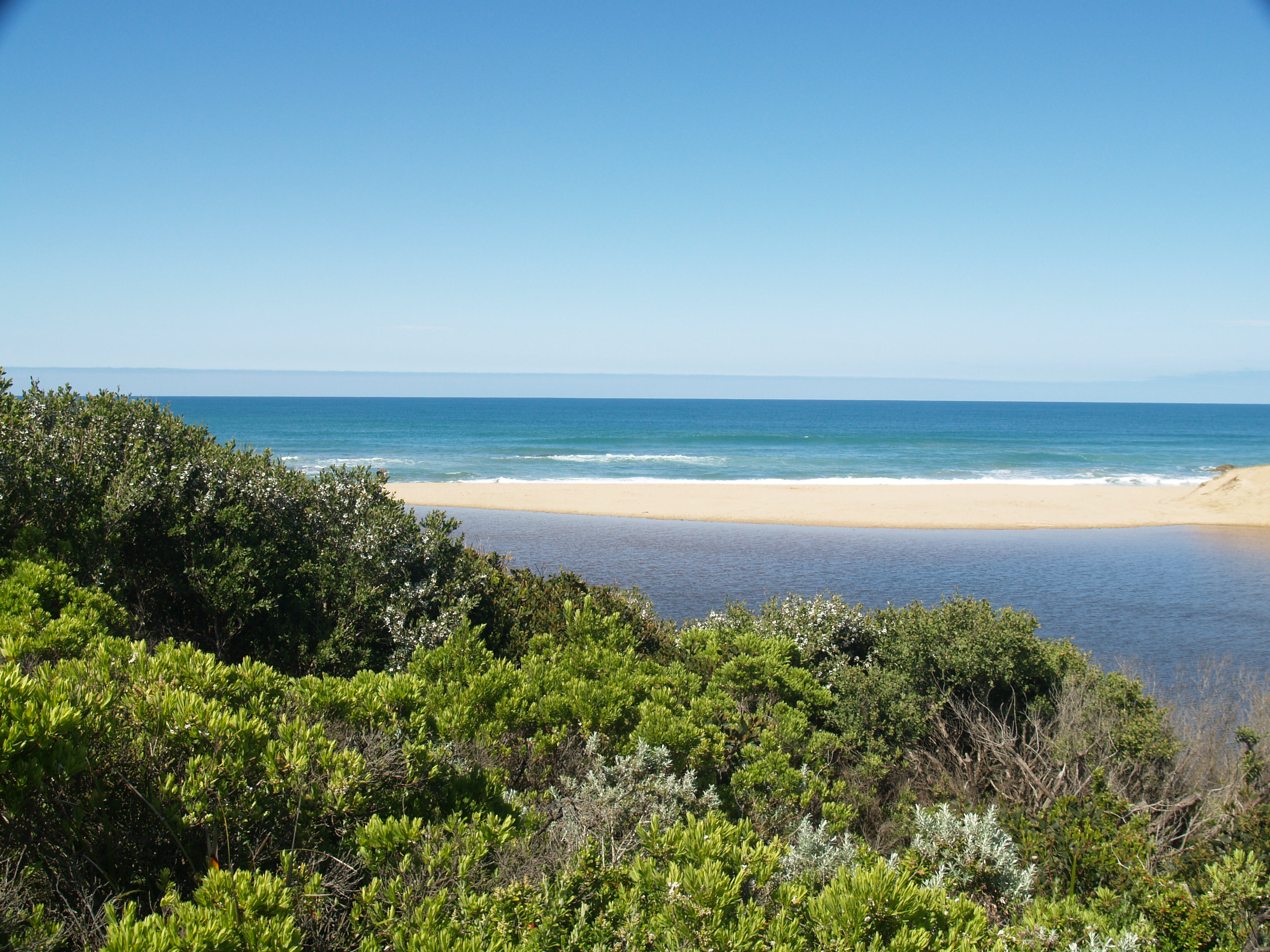
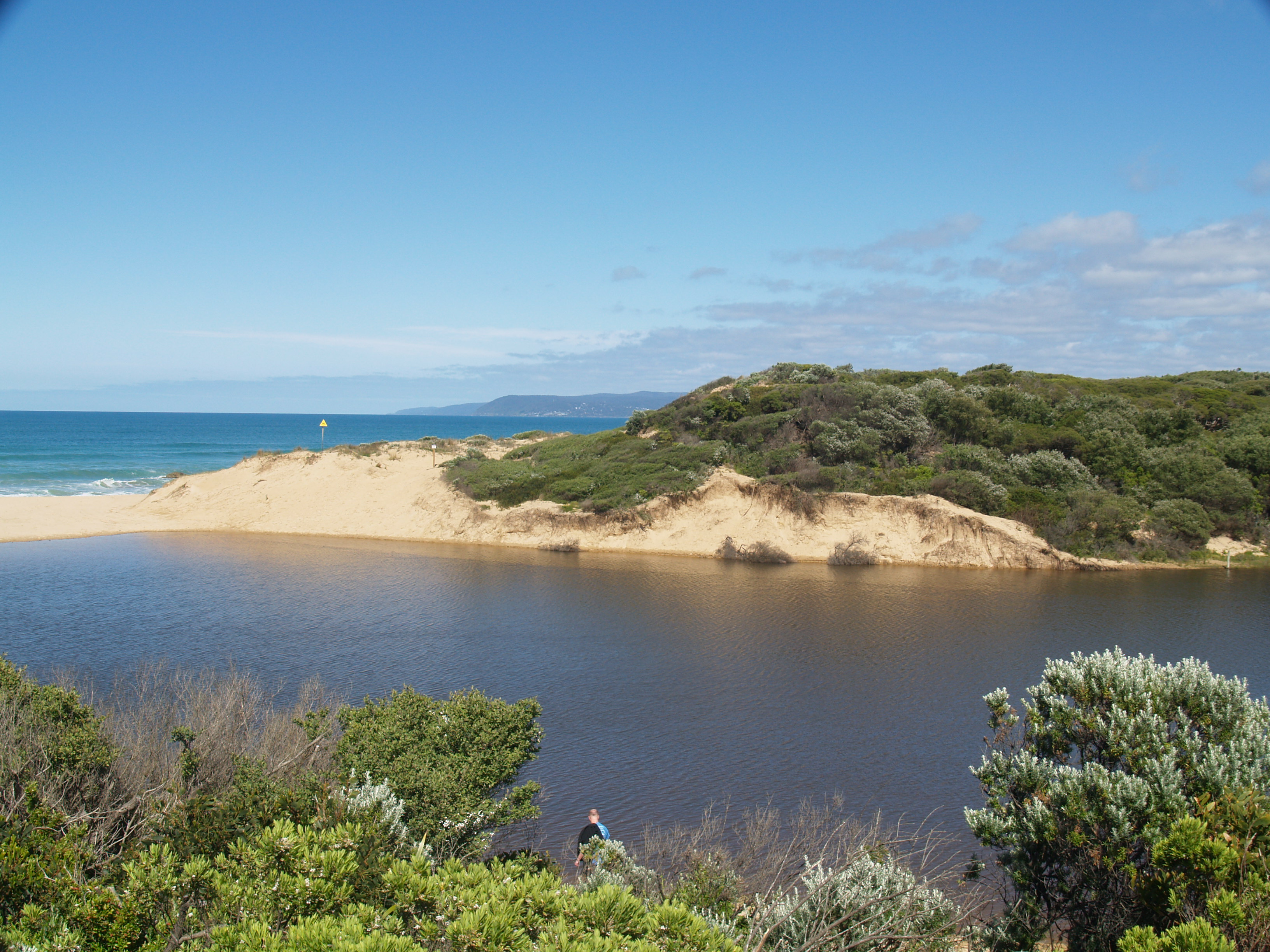
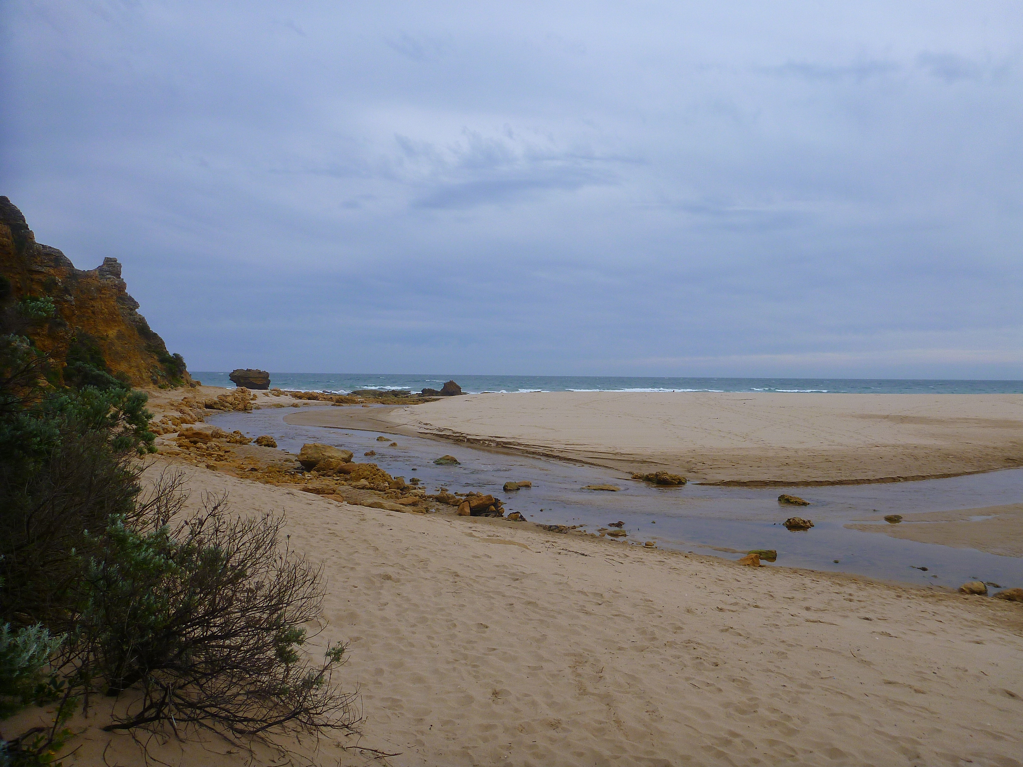
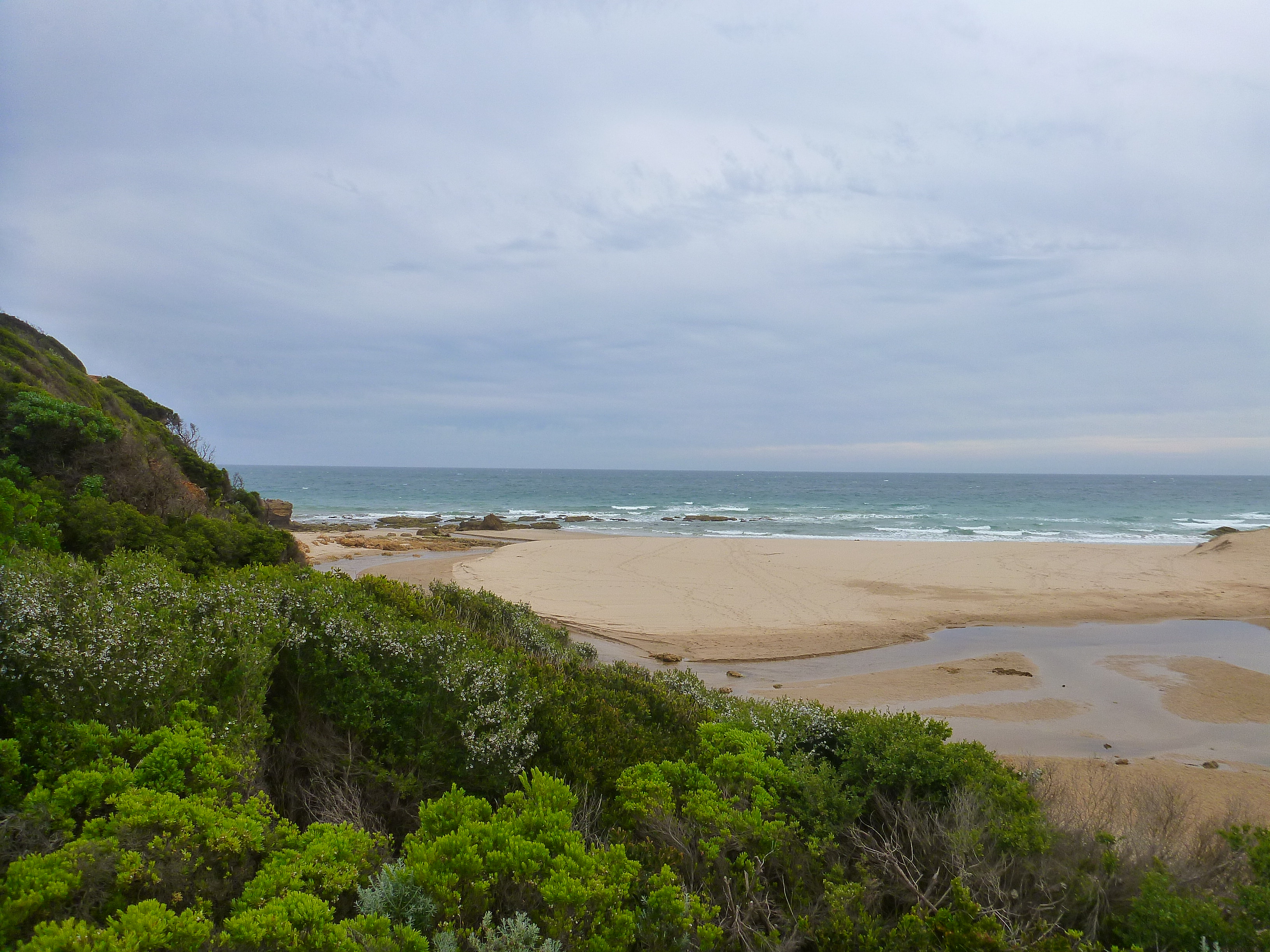
PMC Painkalac Creek Observation Site
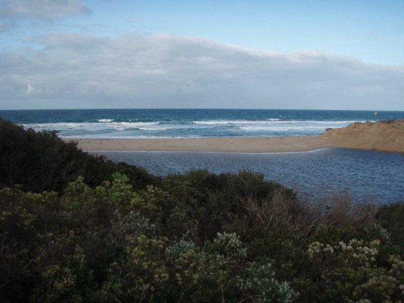
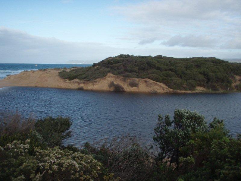
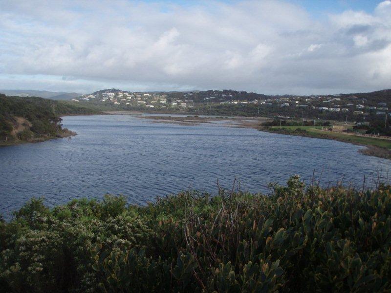
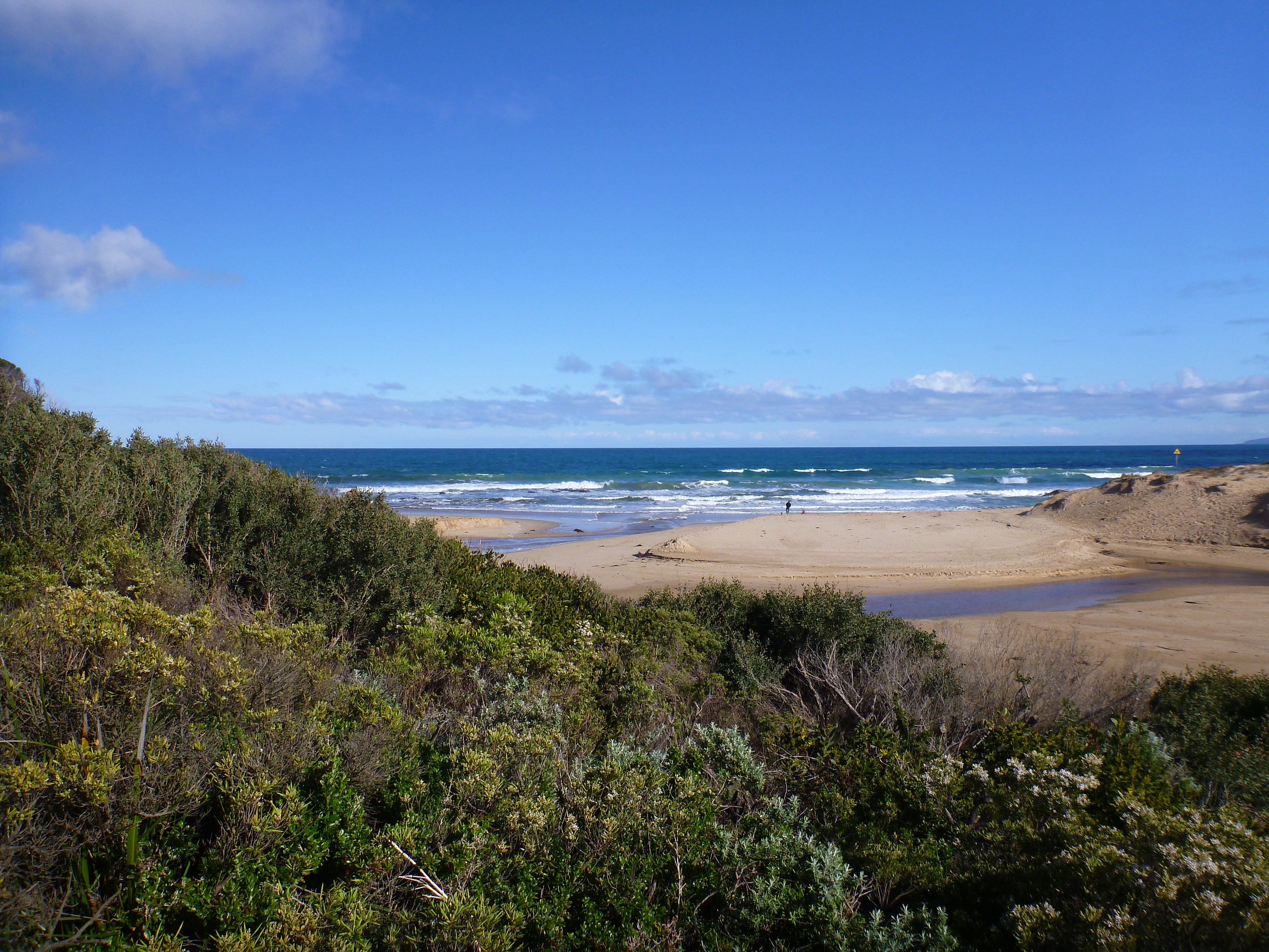
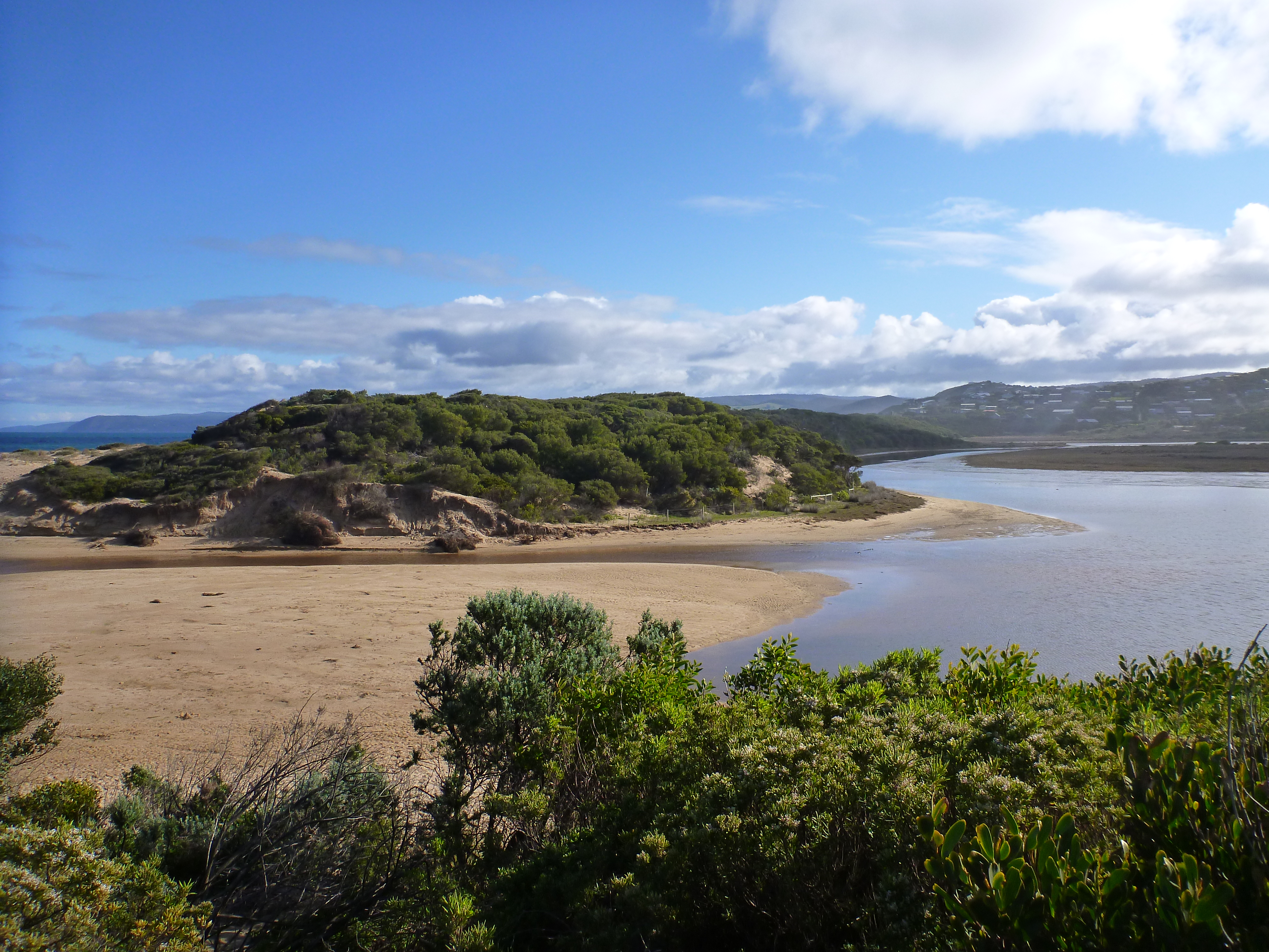
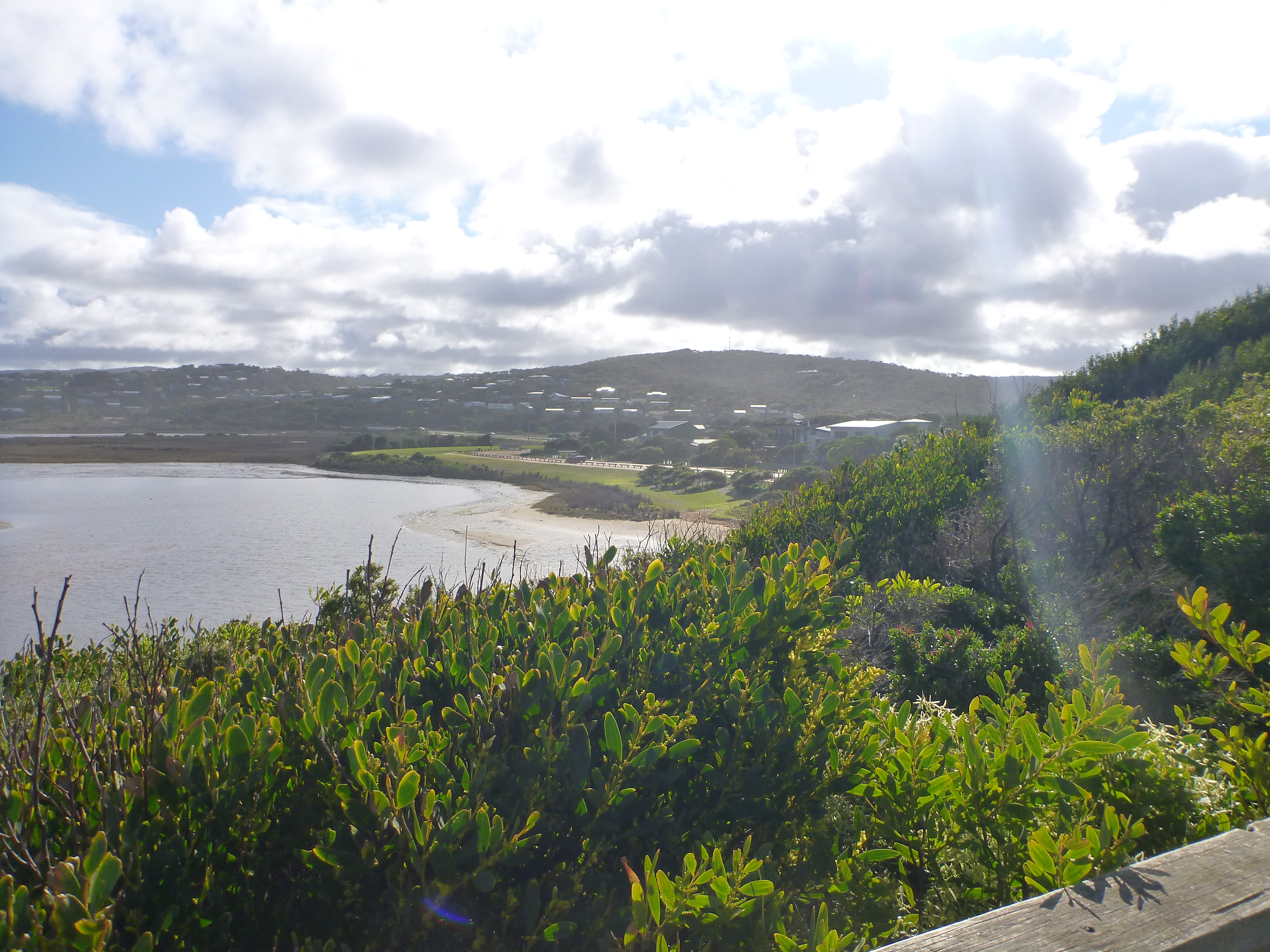
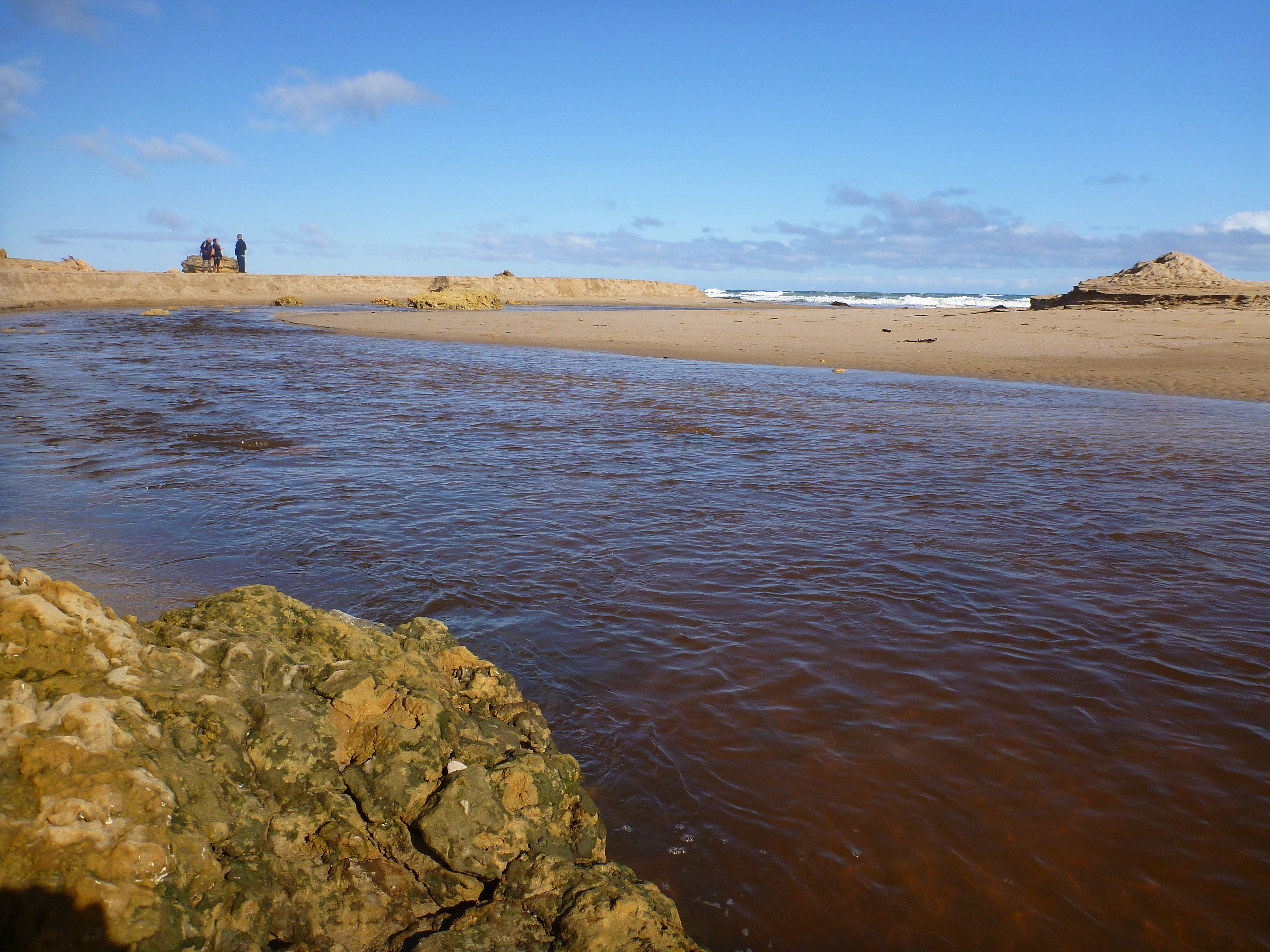
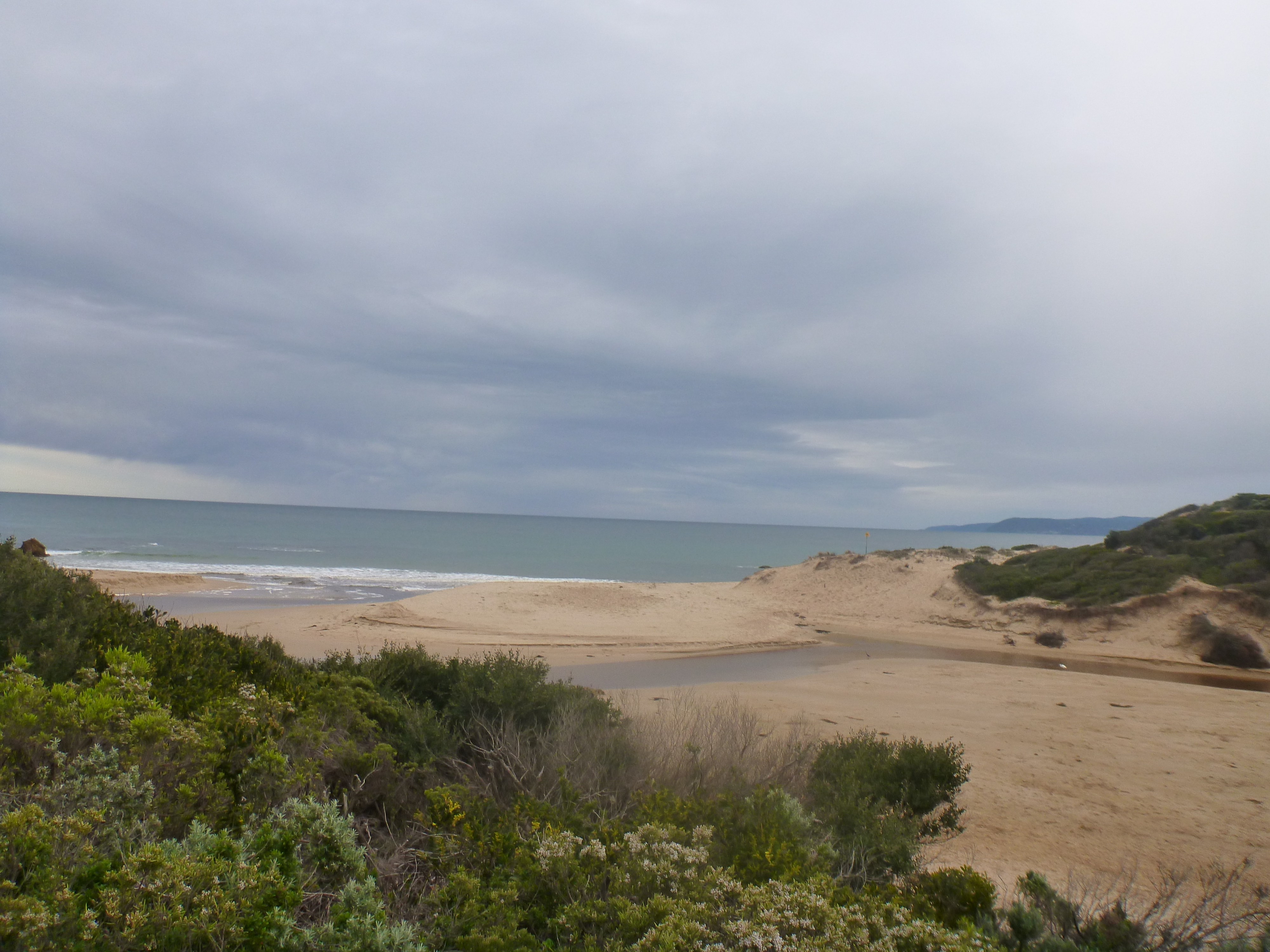
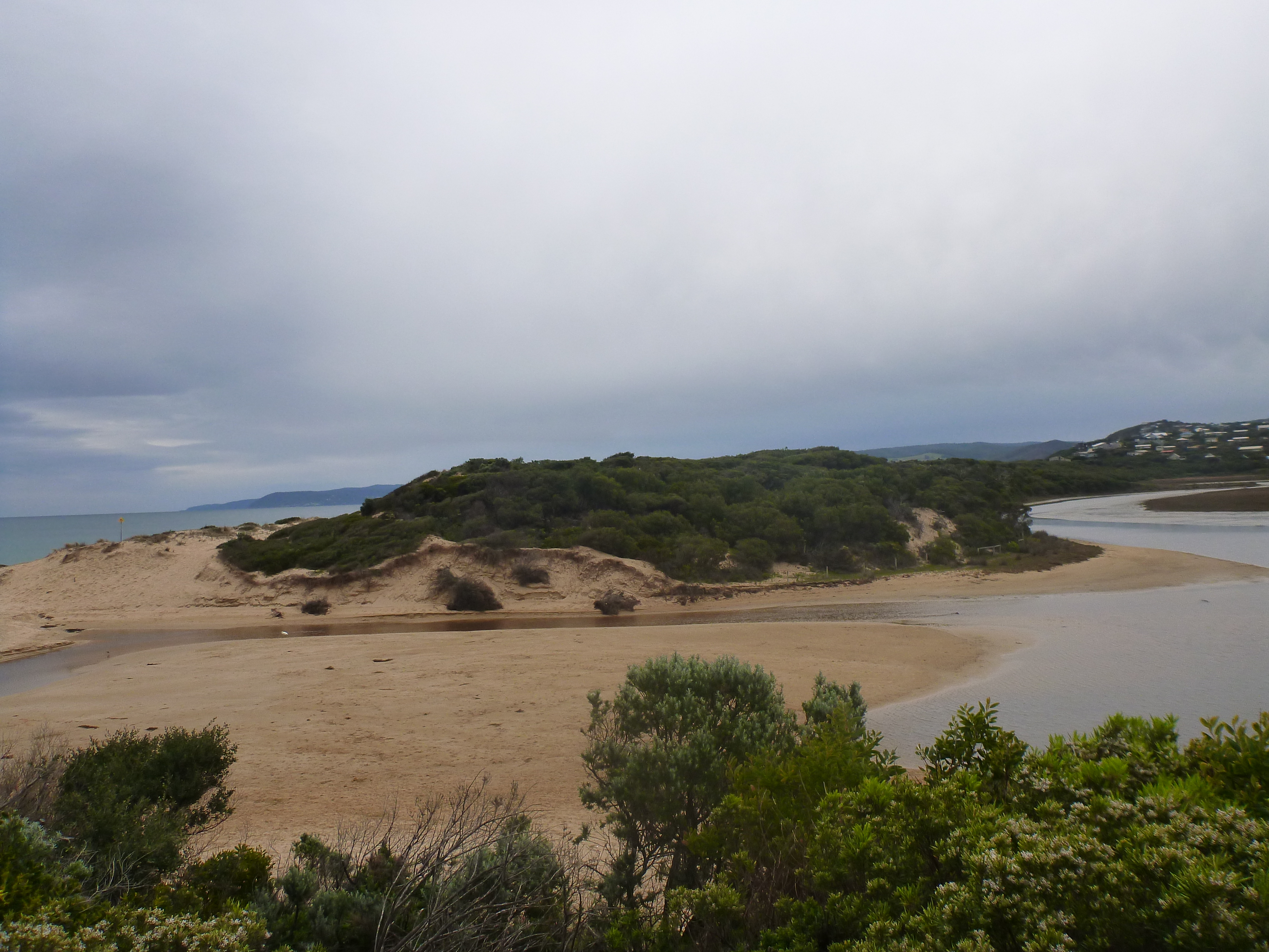
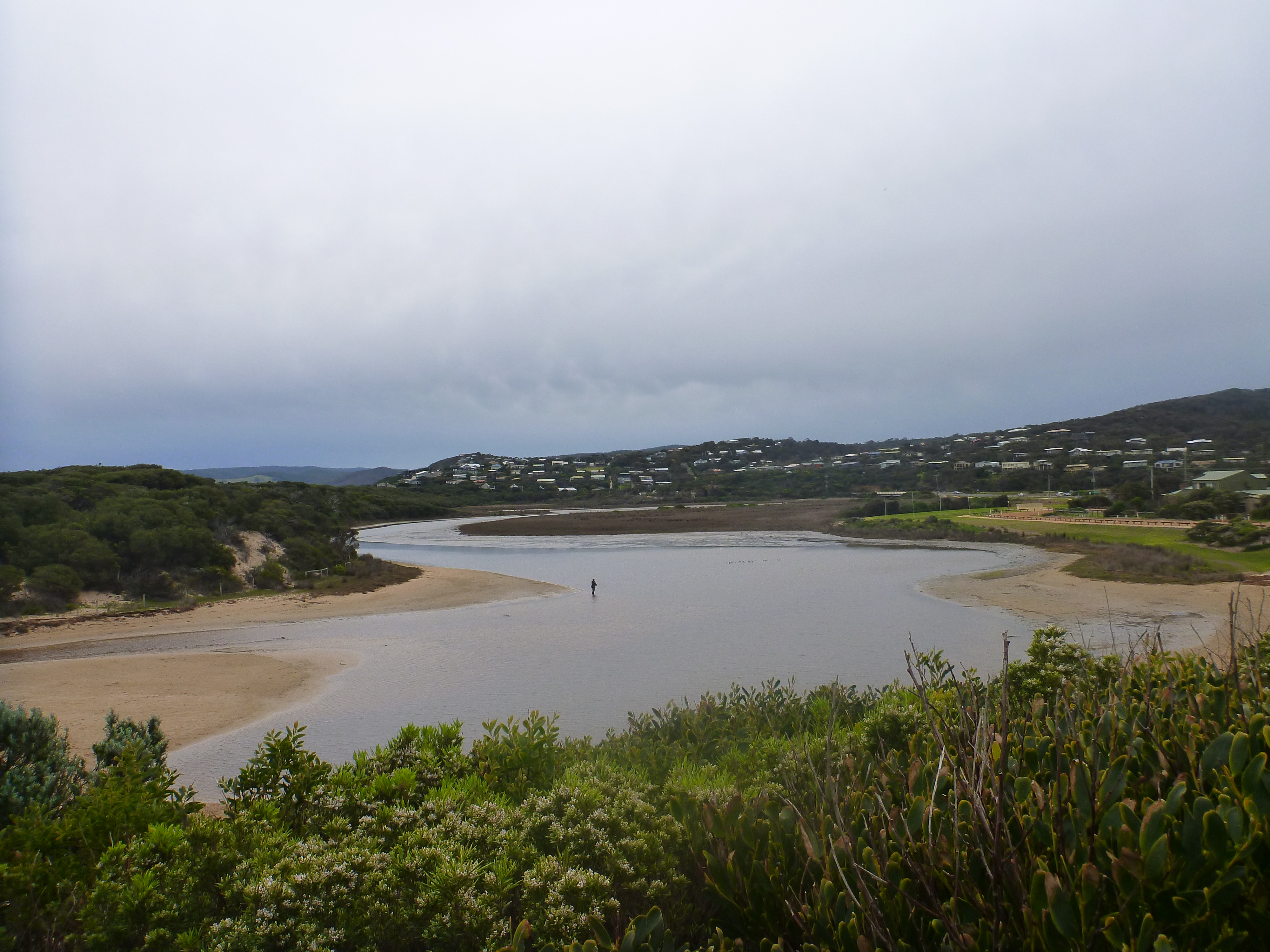
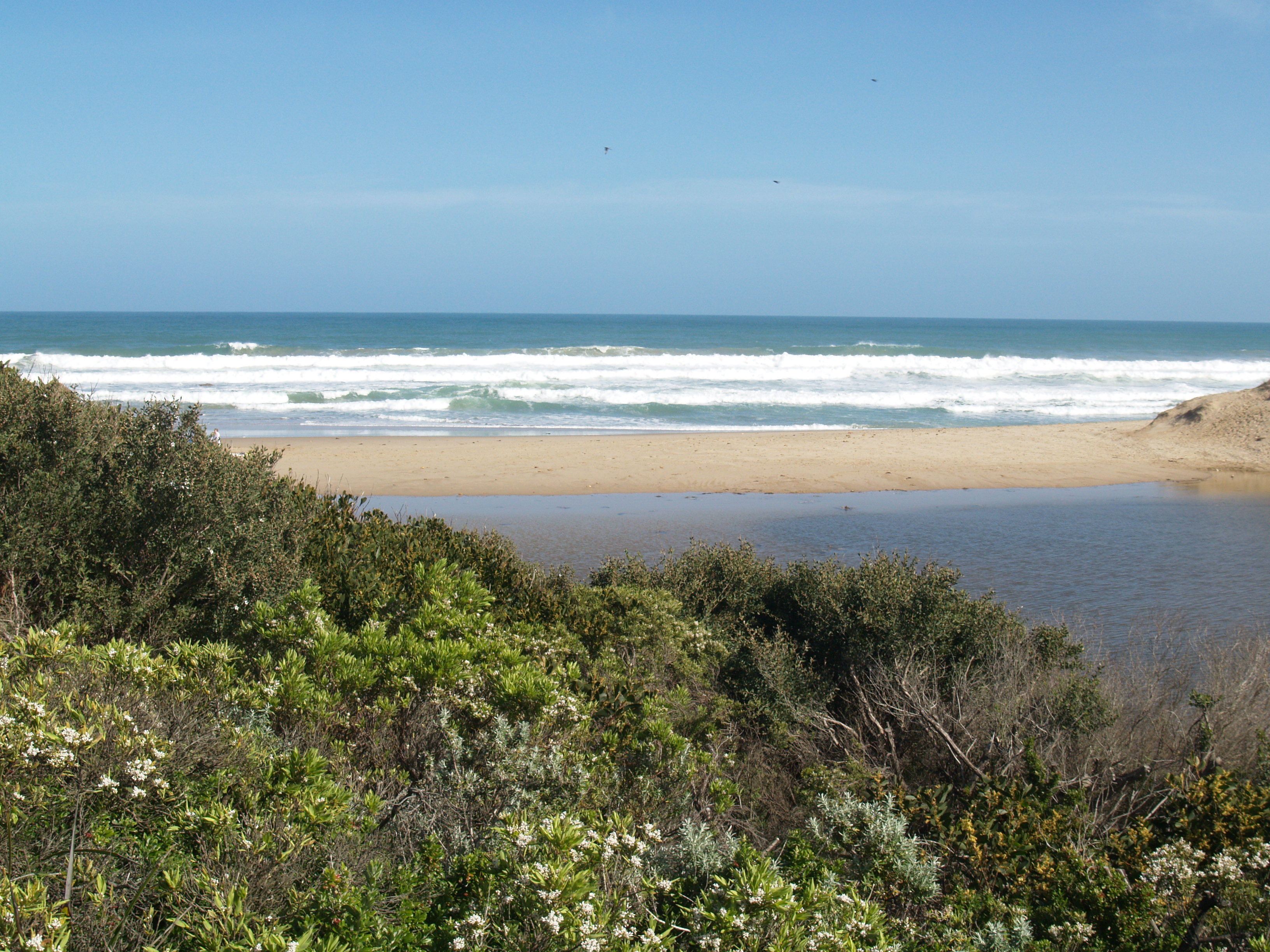
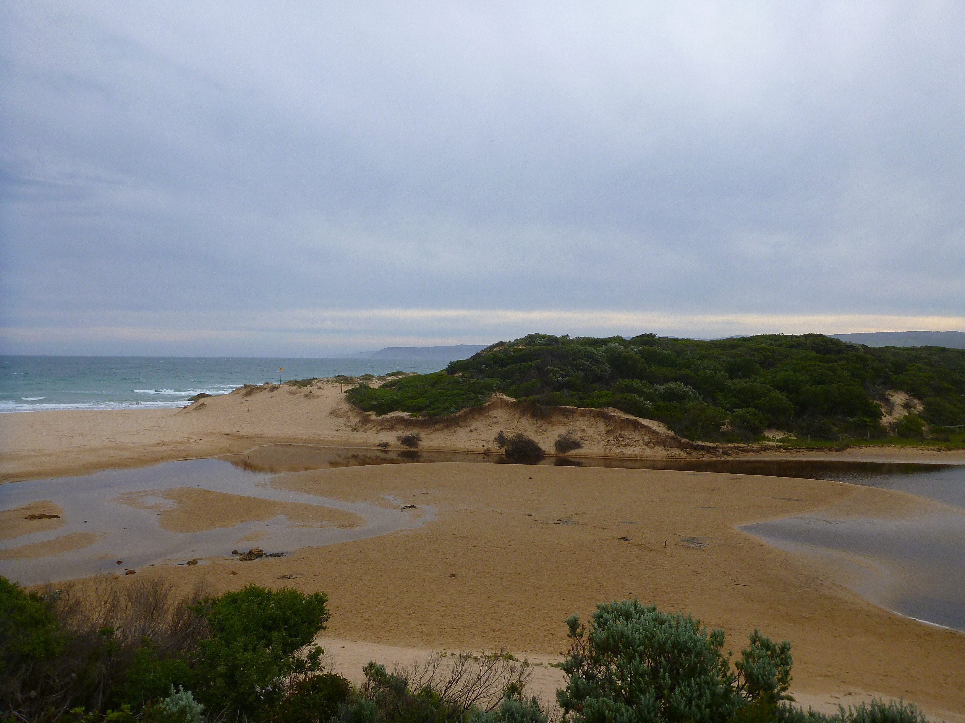
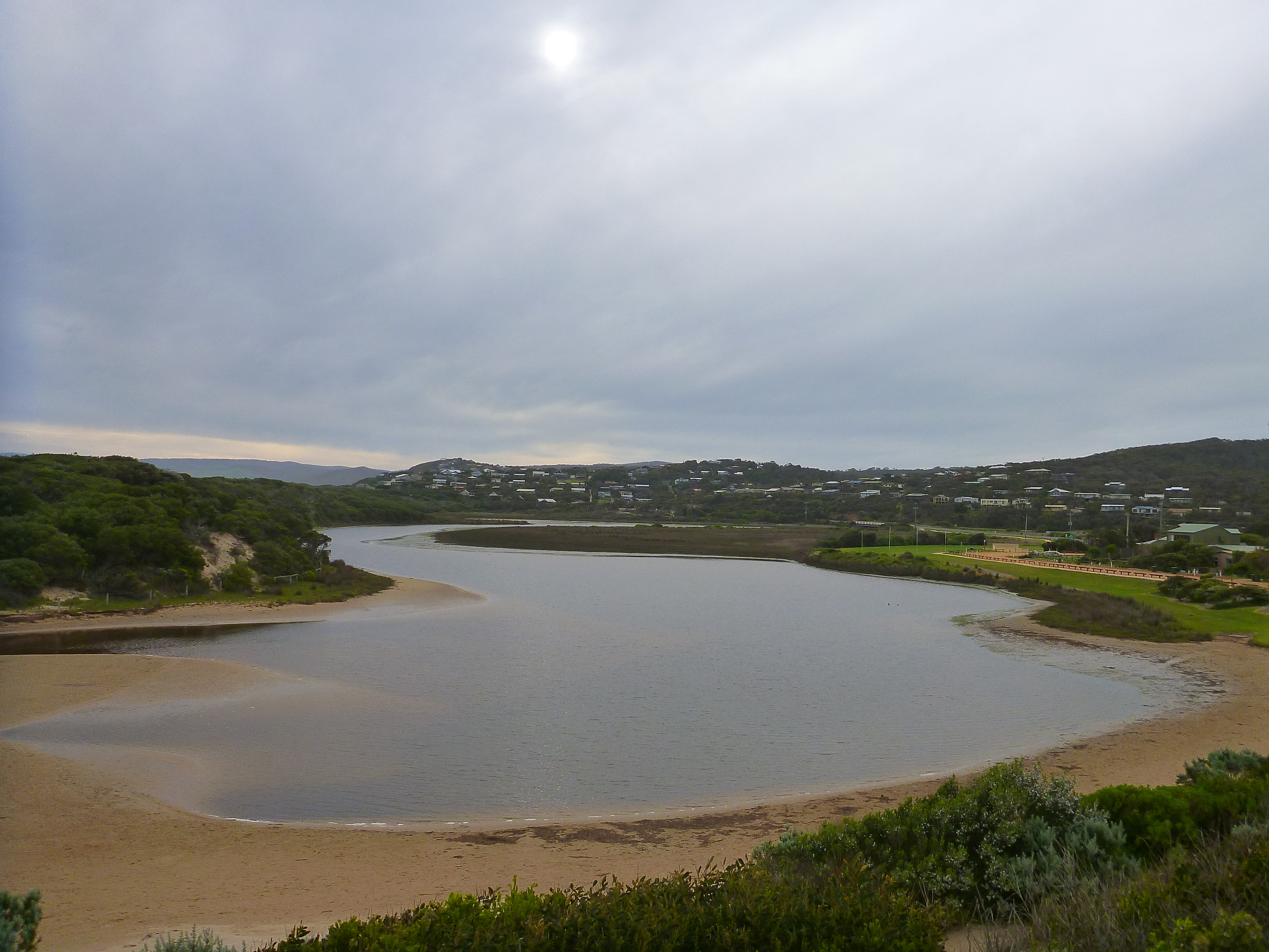
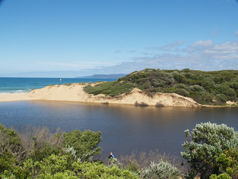
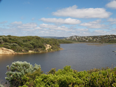
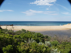
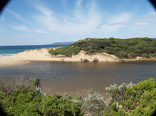
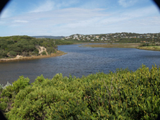
Active Mouth Condition 23-05-2007 - 11-03-2024Painkalac Creek Estuary
272 results found (Displaying 111 - 120)
| ID | Date | Status | Details | |
|---|---|---|---|---|
| #7584 | 11 Aug 2012 | Approved |
Notes:
Tidal Range taken from BOM site-Lorne measurements. Not sure about Water Level and Finish? Water level at 3pm, after Estuary Opening at 0930, was below 1.1 at bridge marker. |
|
| #7583 | 12 Aug 2012 | Approved | Notes: Painkalac Creek was artificially opened 11.08.12. The AHD reading before opening was 1.9m. | |
| #7590 | 14 Aug 2012 | Approved |
Notes:
|
|
| #7665 | 17 Aug 2012 | Pending |
 |
|
| #7726 | 9 Sep 2012 | Approved |
Notes:
At 14.30 waves were washing almost up to the top of the berm. At 16.50 (high tide) there was similar situation but in between those times water had been flowing over the berm (a visitor's observations) and we noted a rise in the estuary AHD at the bridge - ?inflow of seawater or a fast inflow of freshwater from the catchment. PS AHD at bridge was 1.82 at 12.45 next day - the berm was still closed. |
|
| #7727 | 10 Sep 2012 | Pending | ||
| #7864 | 14 Oct 2012 | Approved | ||
| #7865 | 15 Oct 2012 | Approved | Notes: Estuary mouth opened on Sunday October14. Estuary now opens out over the rock platform to the east. | |
| #7920 | 14 Nov 2012 | Approved | ||
| #7958 | 8 Dec 2012 | Approved | ||


All content, files, data and images provided by the EstuaryWatch Data Portal and Gallery are subject to a Creative Commons Attribution License
Content is made available to be used in any way, and should always attribute EstuaryWatch and www.estuarywatch.org.au