EstuaryWatch Data Portal
CuMC Curdies Mouth Condition
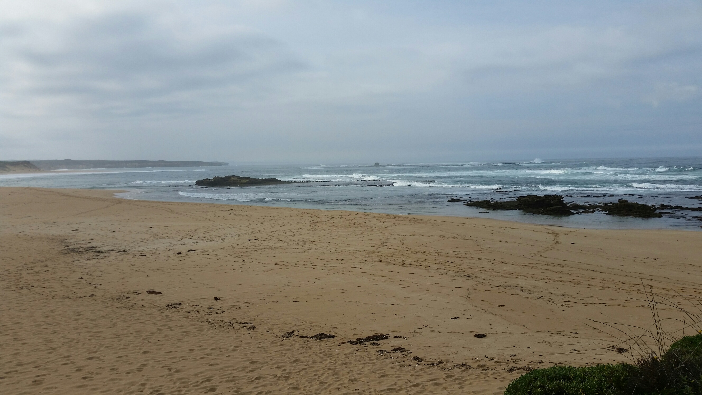
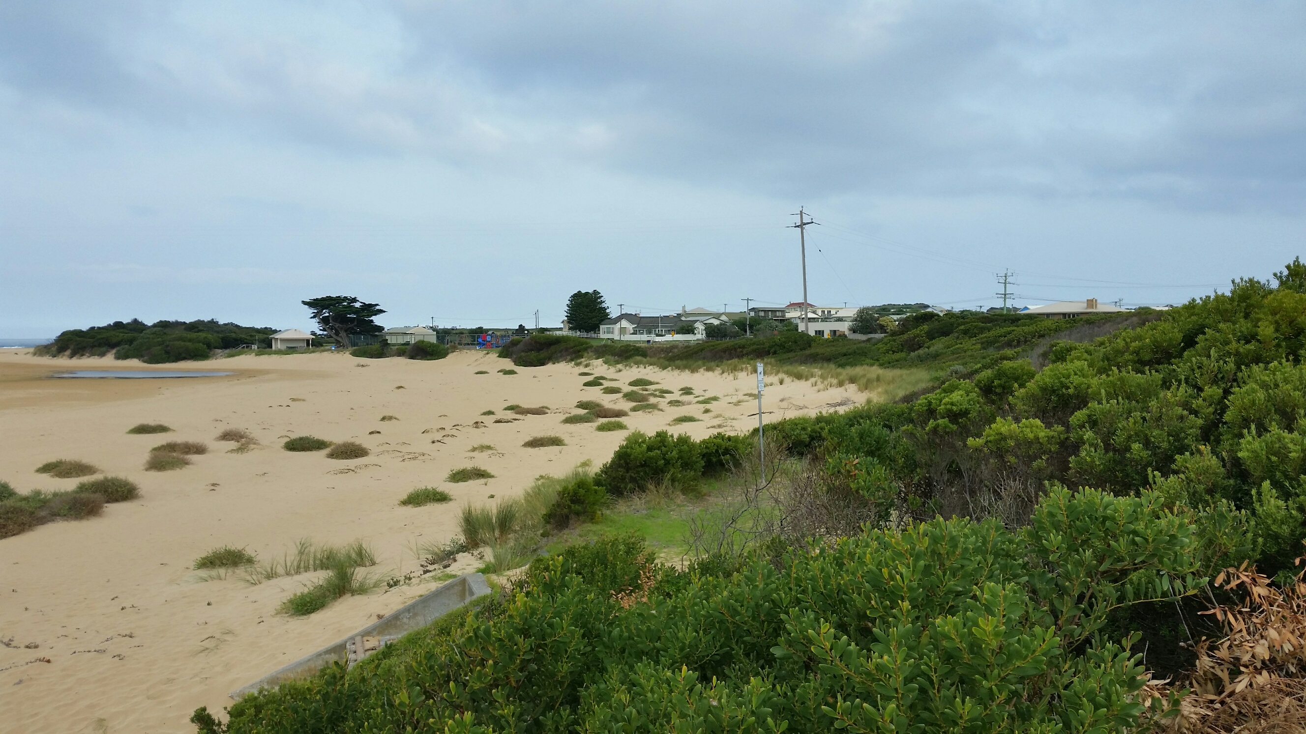
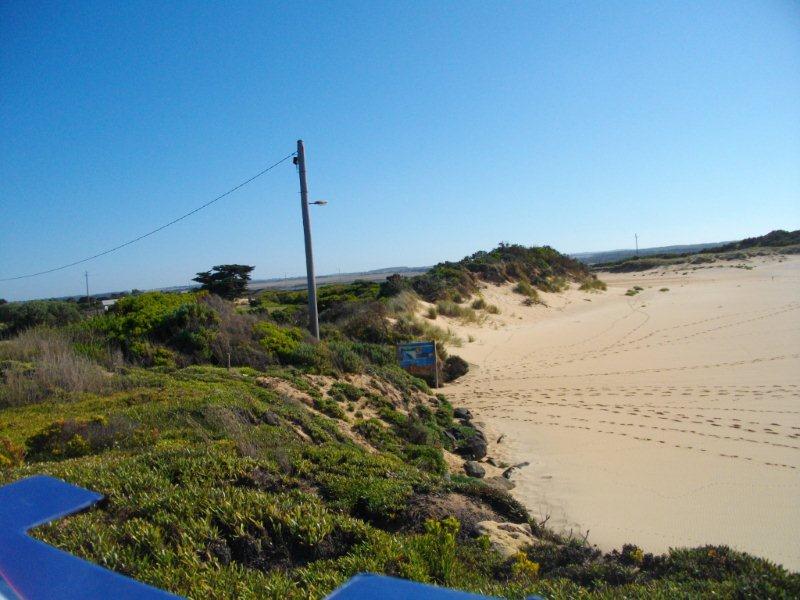
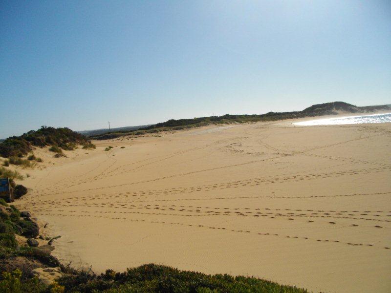
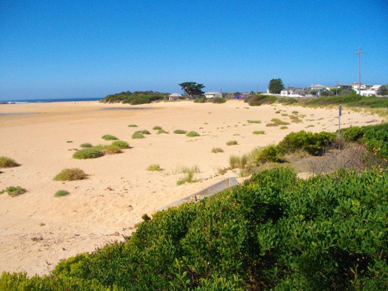
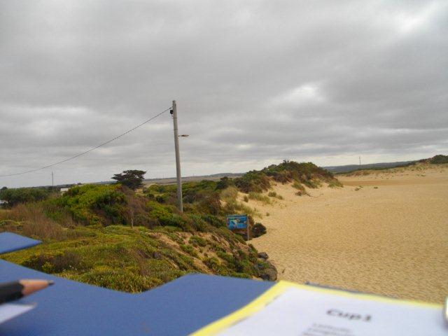
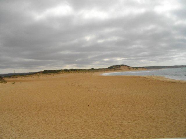
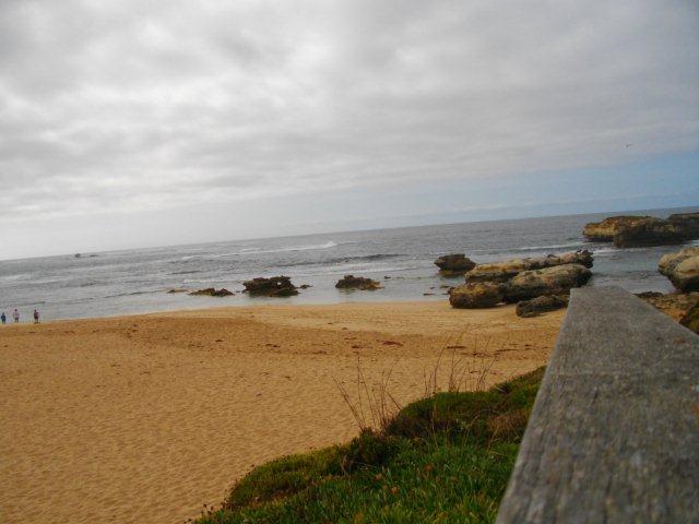
Active Mouth Condition 21-02-2014 - 02-04-2024Curdies River Estuary
156 results found (Displaying 121 - 130)
| ID | Date | Status | Details | |
|---|---|---|---|---|
| #10721 | 13 Oct 2016 | Approved | ||
| #10494 | 14 Sep 2016 | Approved |
Notes:
Mode physical condition for wind direction W, N, E |
|
| #10720 | 4 Aug 2016 | Approved | ||
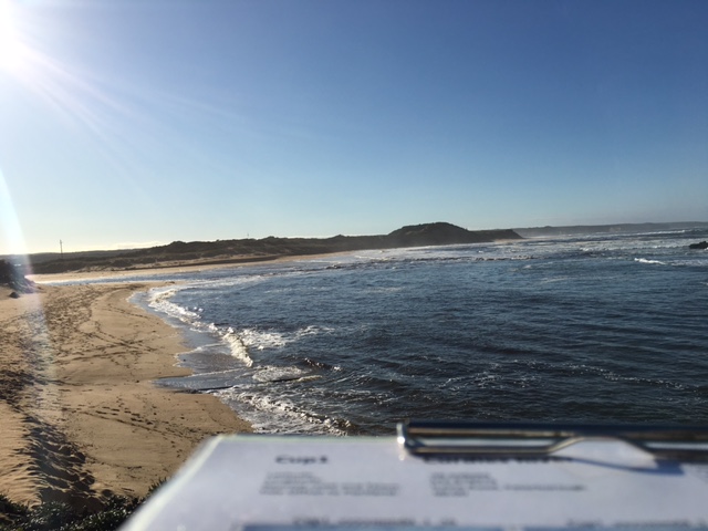
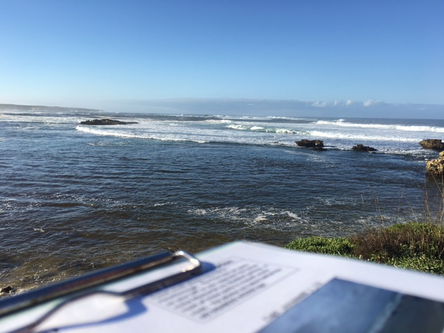
| #10398 | 14 Jun 2016 | Approved | Notes: Berm length 69.9m. | |
| #10391 | 12 May 2016 | Approved | Notes: Berm length 158m. | |
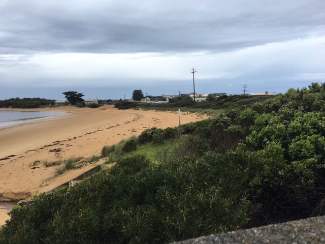
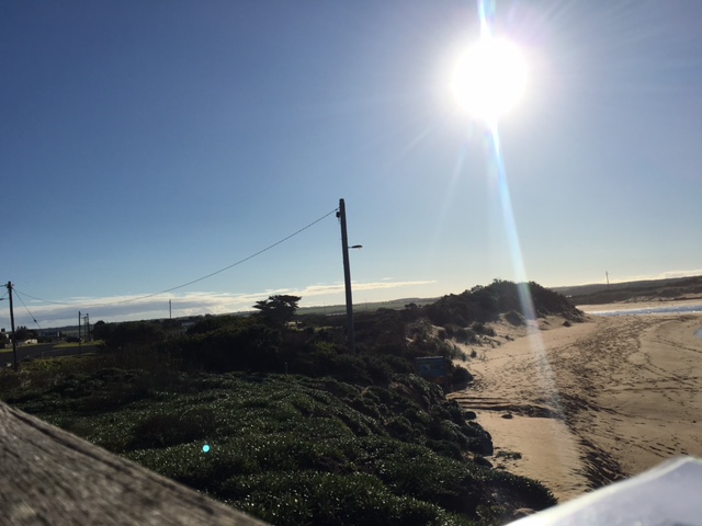
| #10285 | 14 Apr 2016 | Approved | Notes: Berm length 209.6m. Berm height too high to measure. Signs of seawater overtopping the berm at high tide and during rough seas. | |
| #10293 | 8 Mar 2016 | Approved | Notes: Unable to see the horizon from the river size. Photo taken and sent. Berm 199.4m in length | |
| #10308 | 6 Feb 2016 | Approved | Notes: Ocean not visible over berm. Measured to the top of "Day Dream island" . Using this method, the height of the berm above the estuary water level was 1.10m. The berm length was 152m. | |
| #10318 | 12 Jan 2016 | Approved | Notes: Sand berm was too high to take an accurate measurement of height about estuary and height above the sea. Berm length was 130m. | |
| #10024 | 4 Dec 2015 | Approved | Notes: Berm length was 163m. Highest point in the sand berm was close to the ocean. | |


All content, files, data and images provided by the EstuaryWatch Data Portal and Gallery are subject to a Creative Commons Attribution License
Content is made available to be used in any way, and should always attribute EstuaryWatch and www.estuarywatch.org.au