EstuaryWatch Data Portal
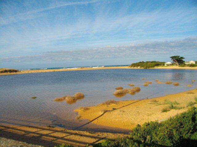
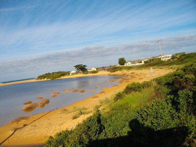
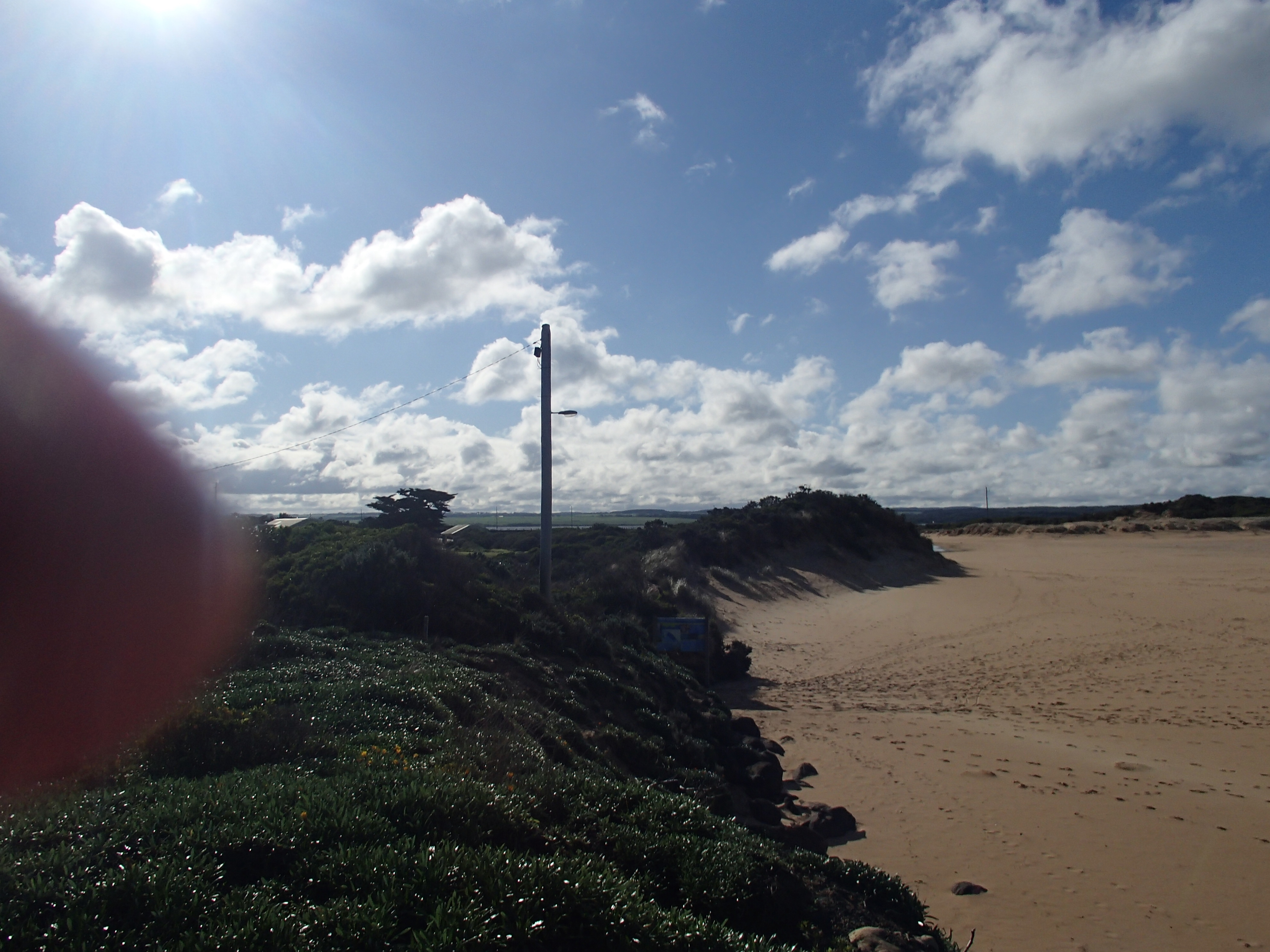
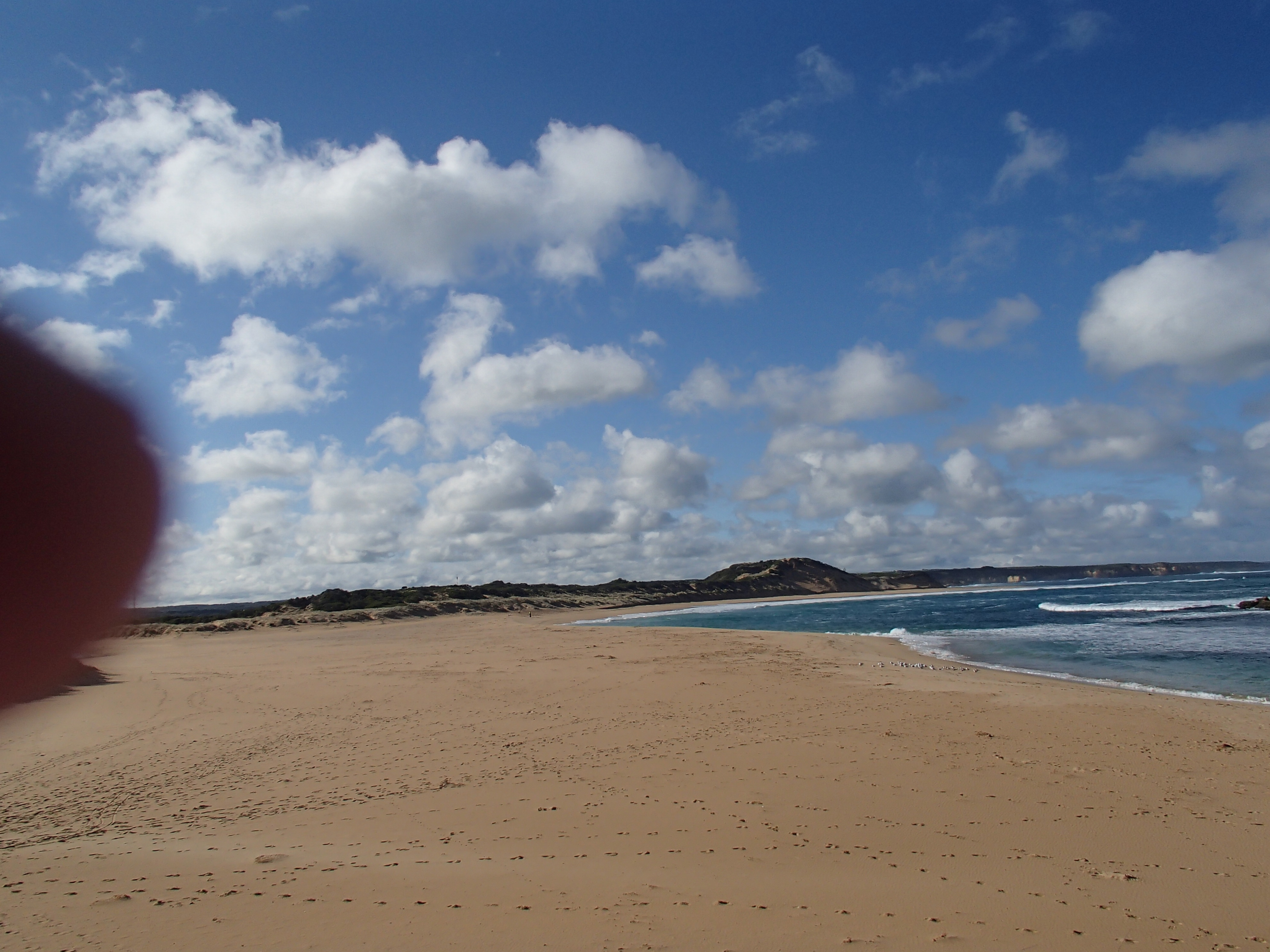
CuMC Curdies Mouth Condition
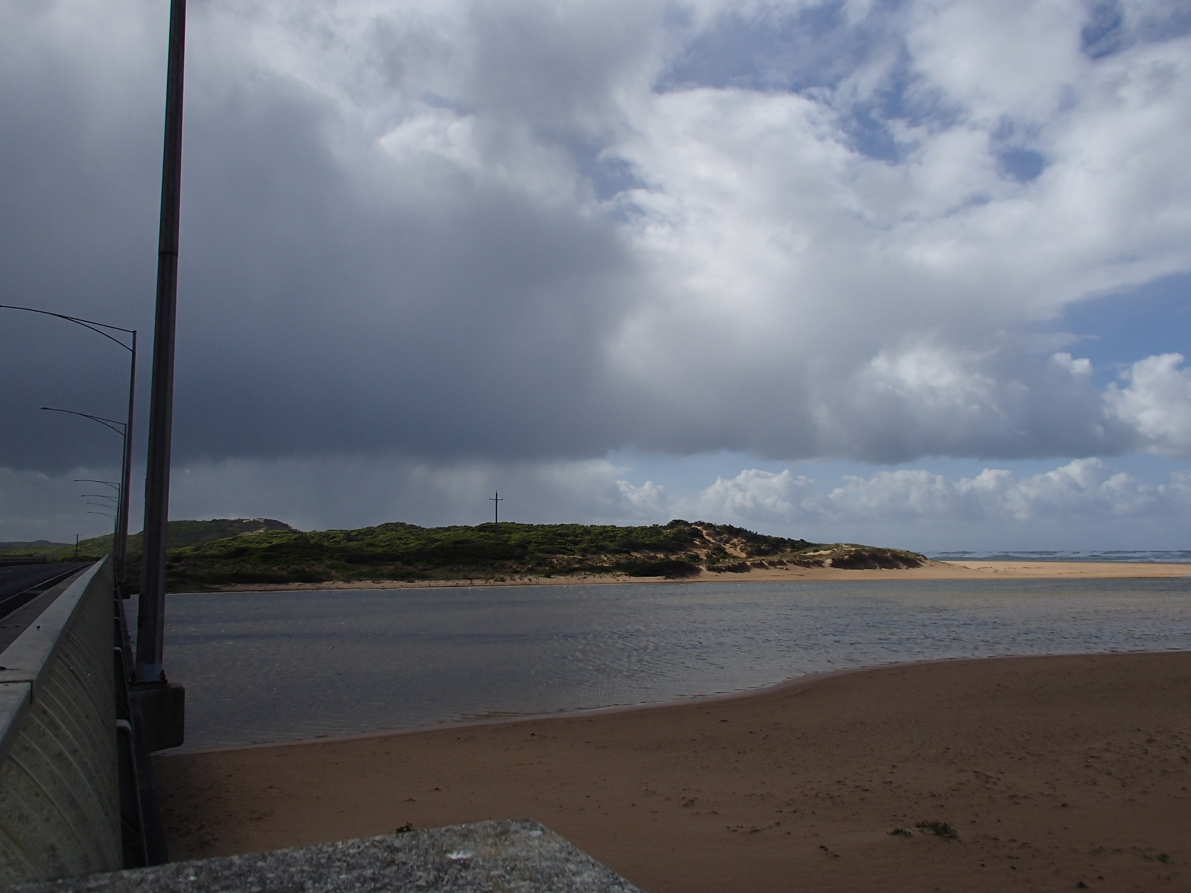
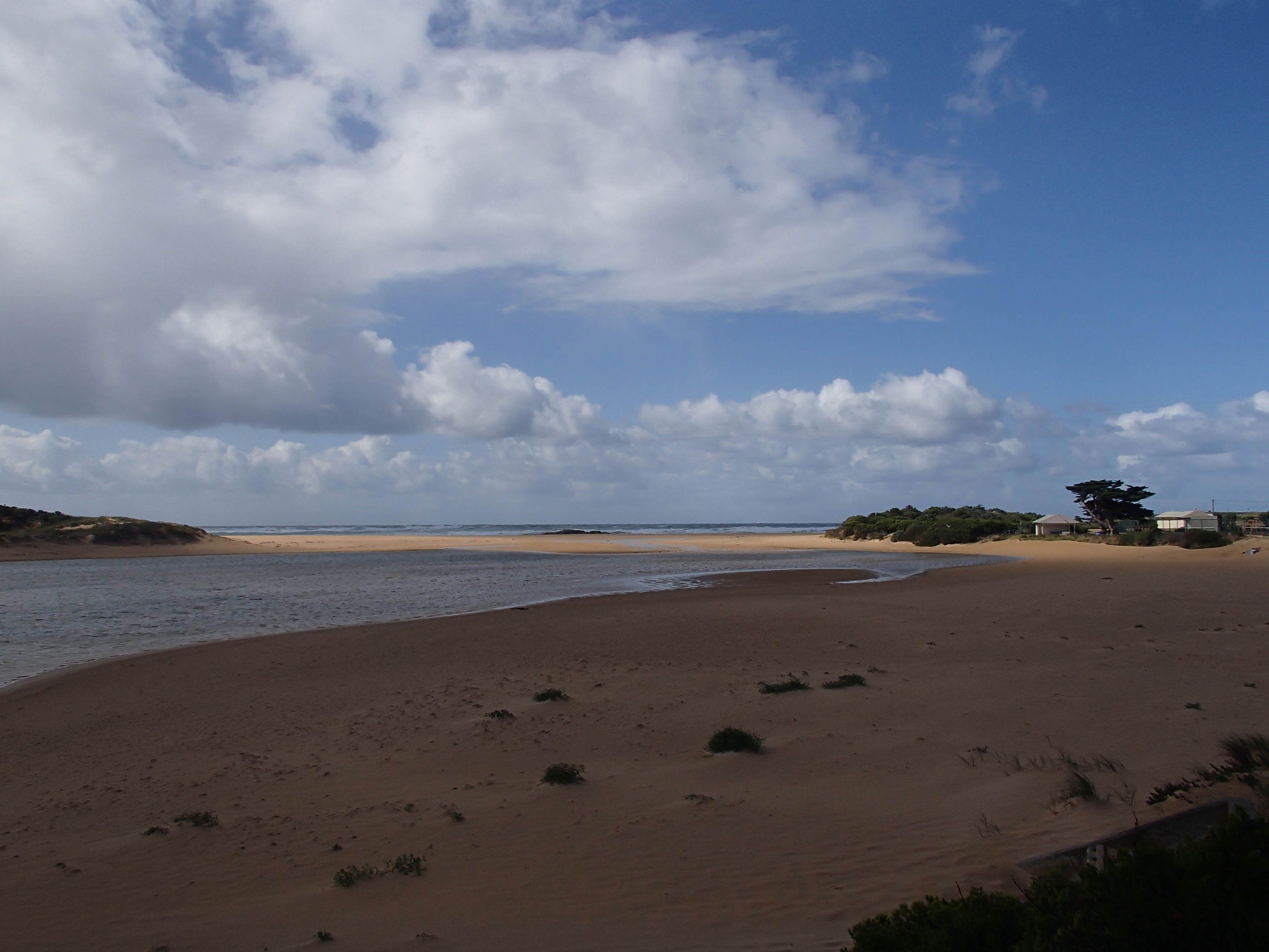
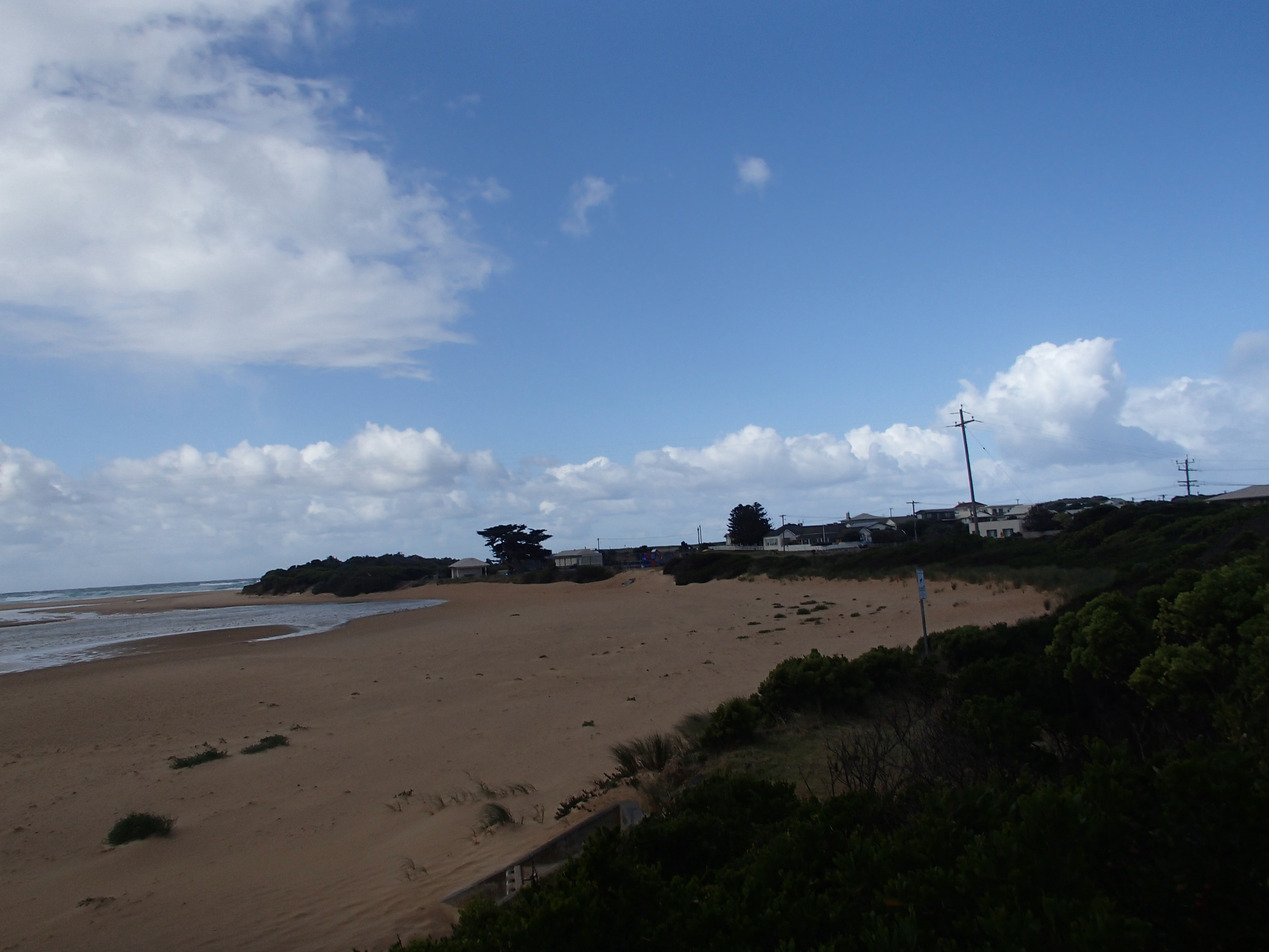
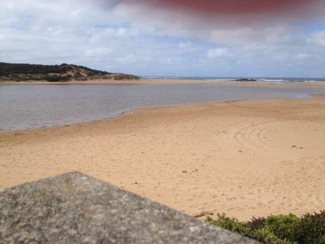
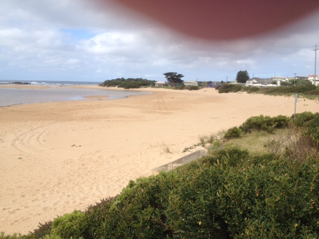
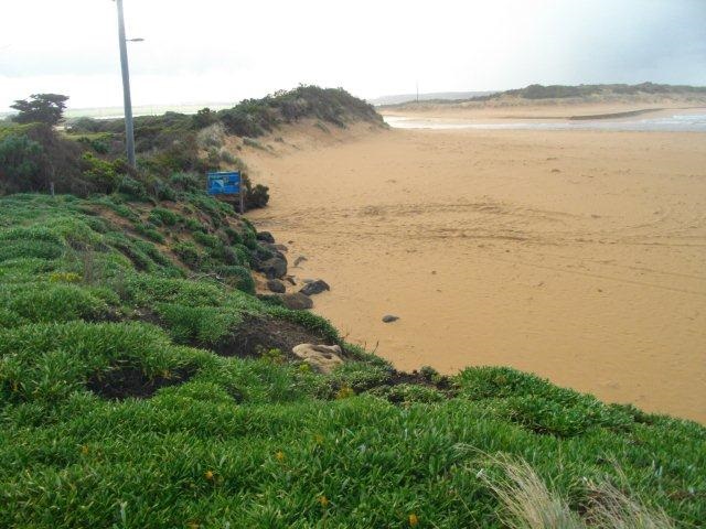
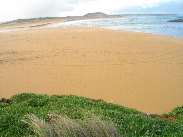
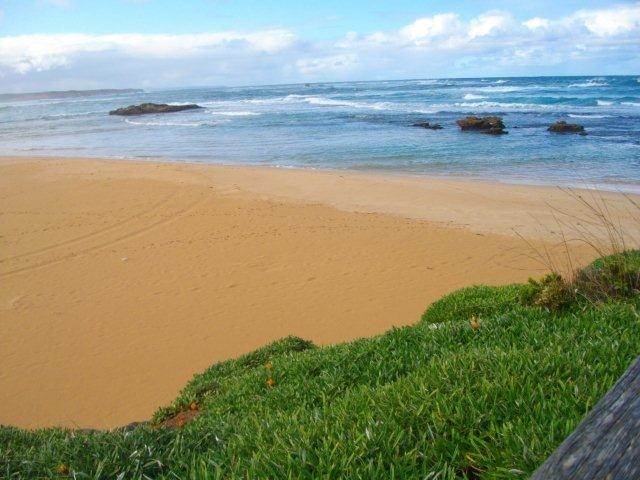
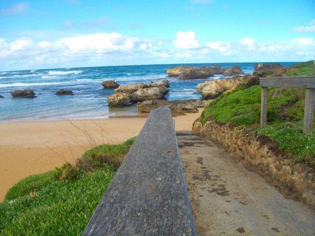
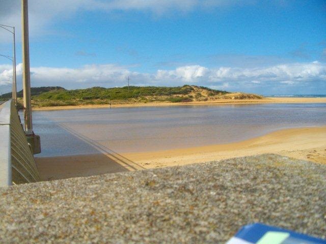
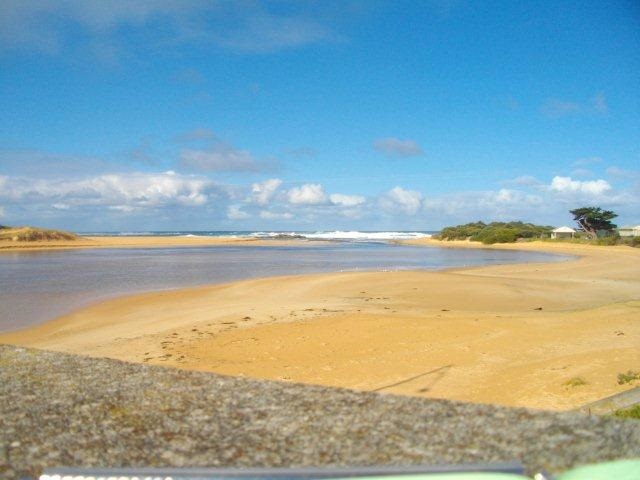
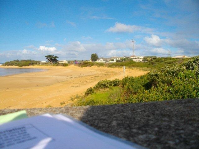
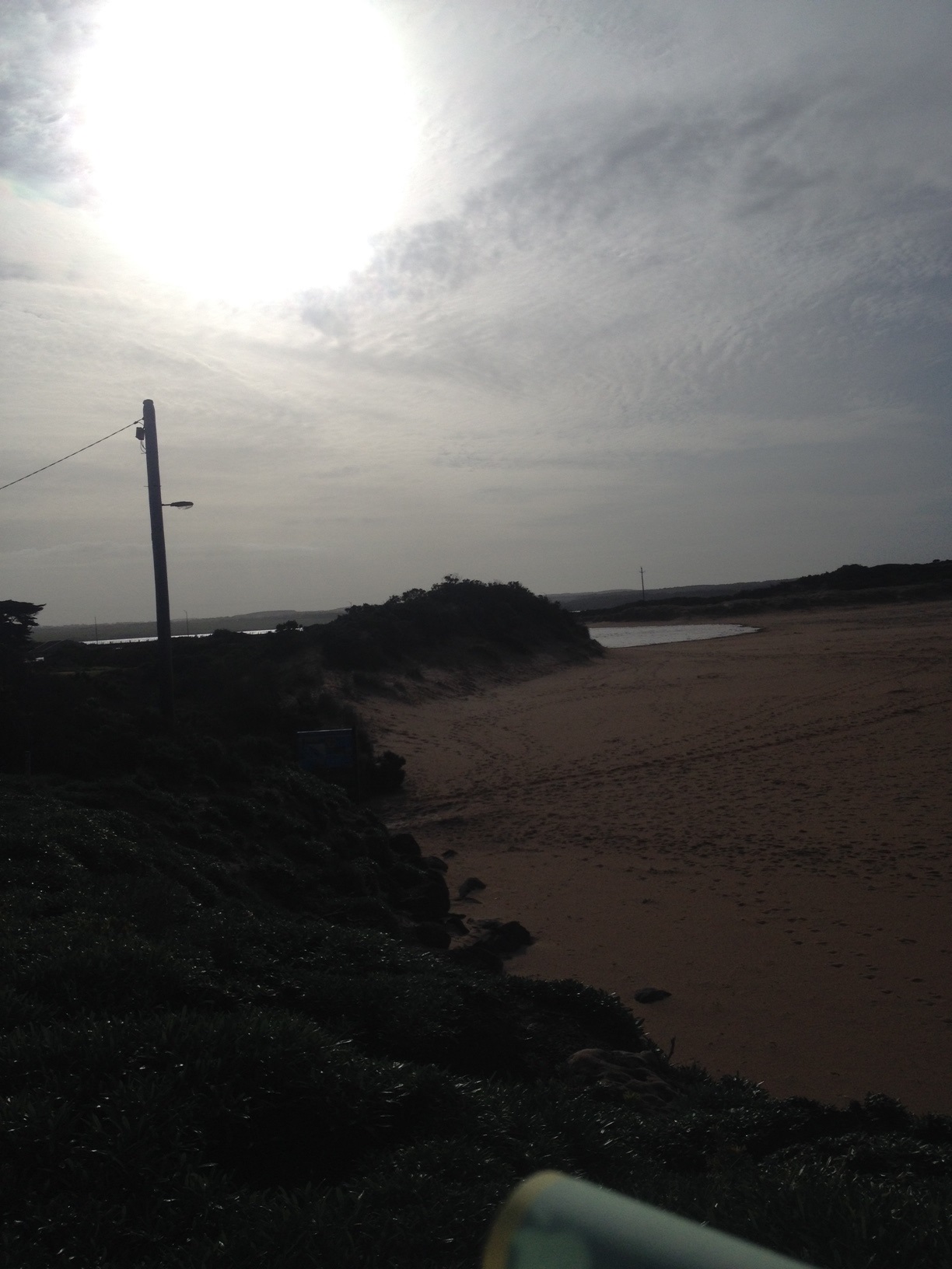
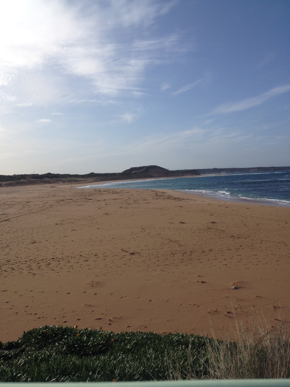
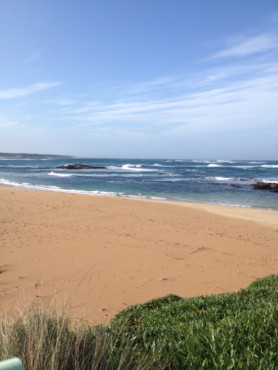
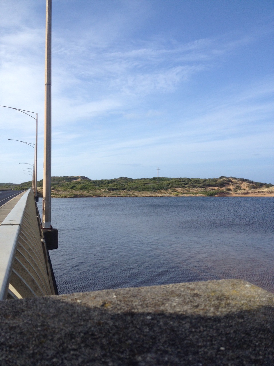
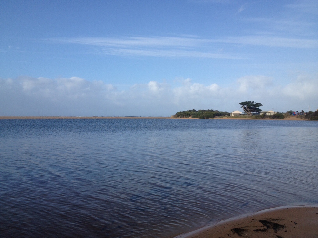
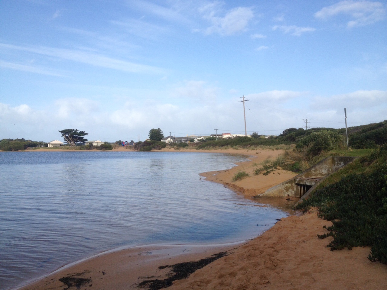
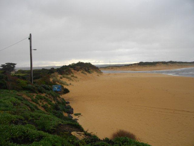
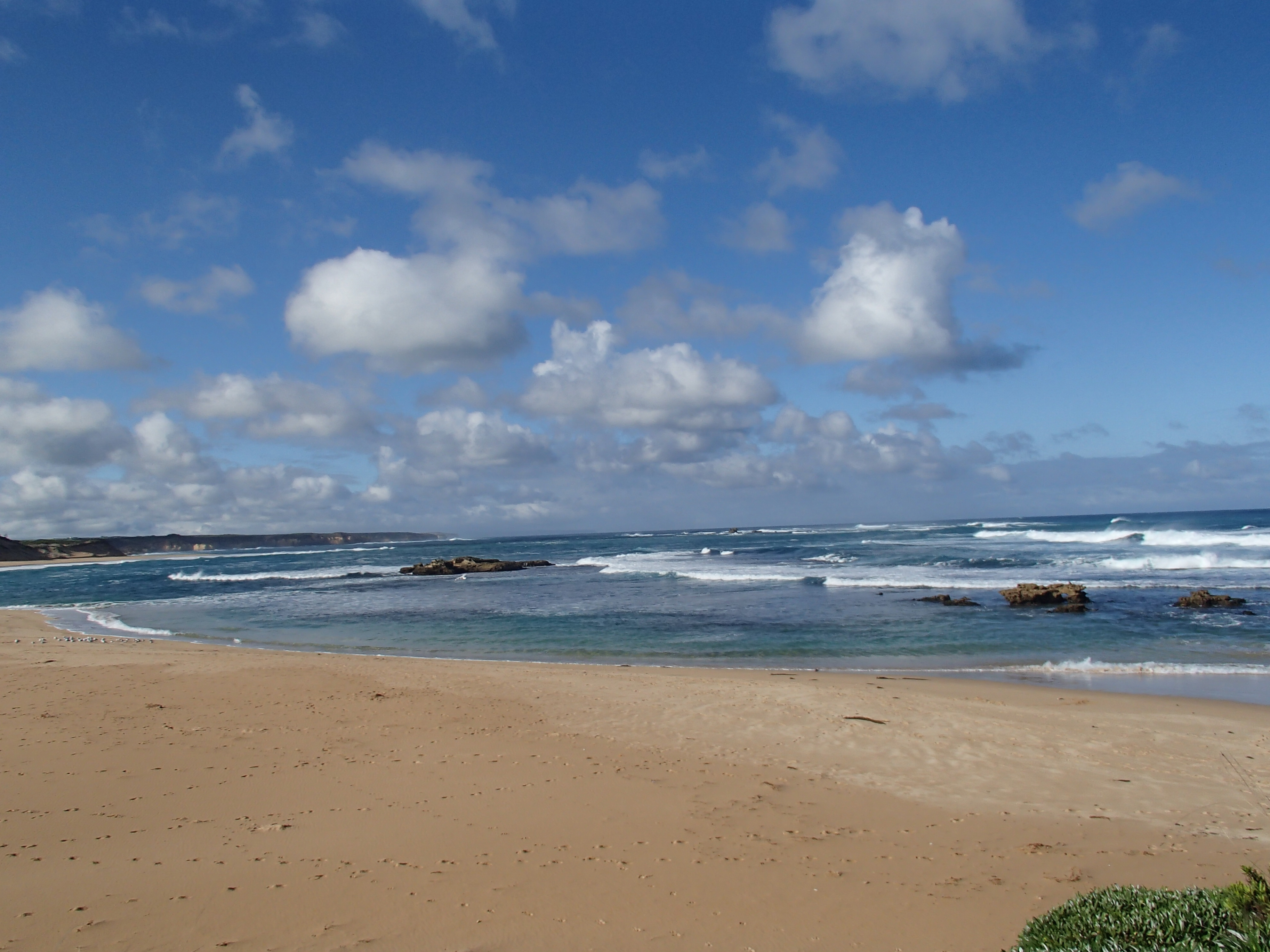
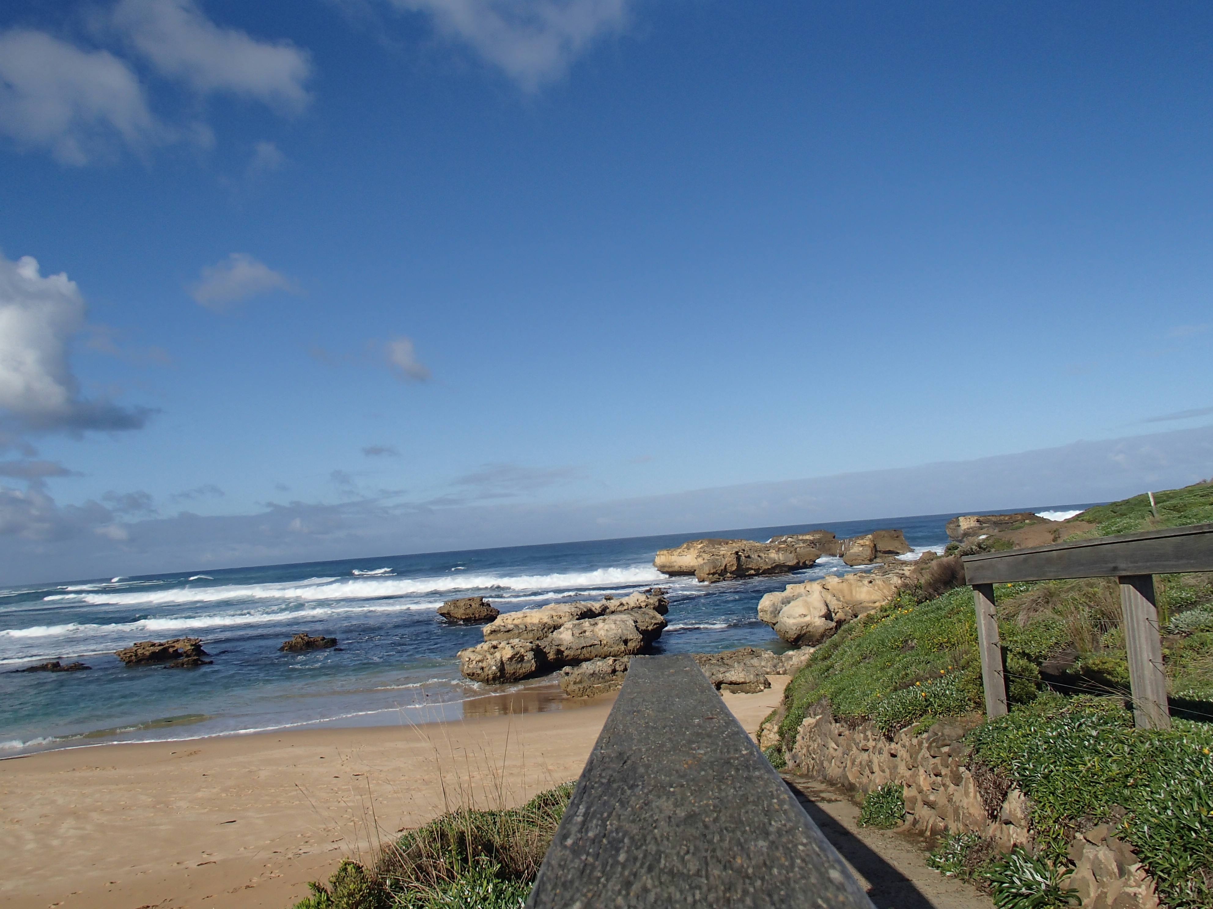
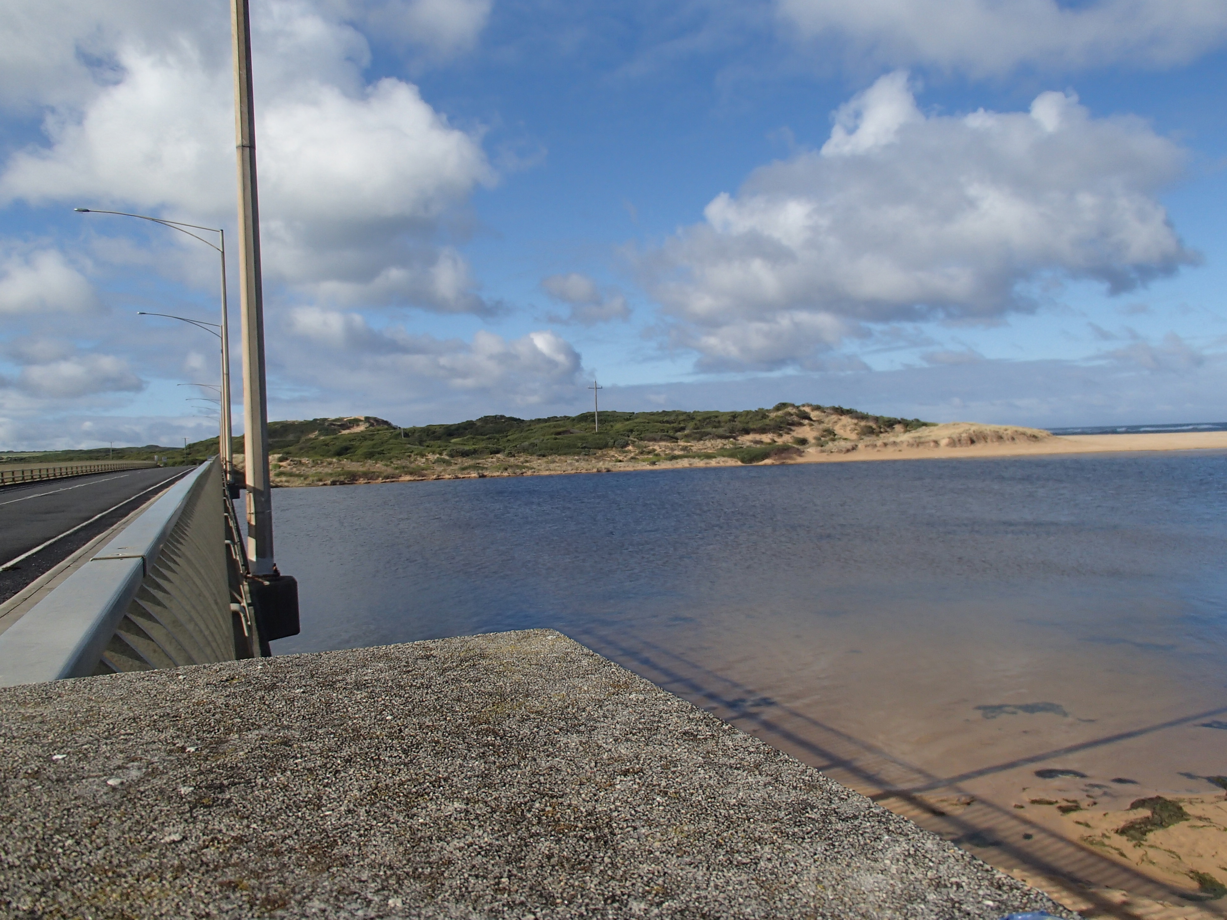
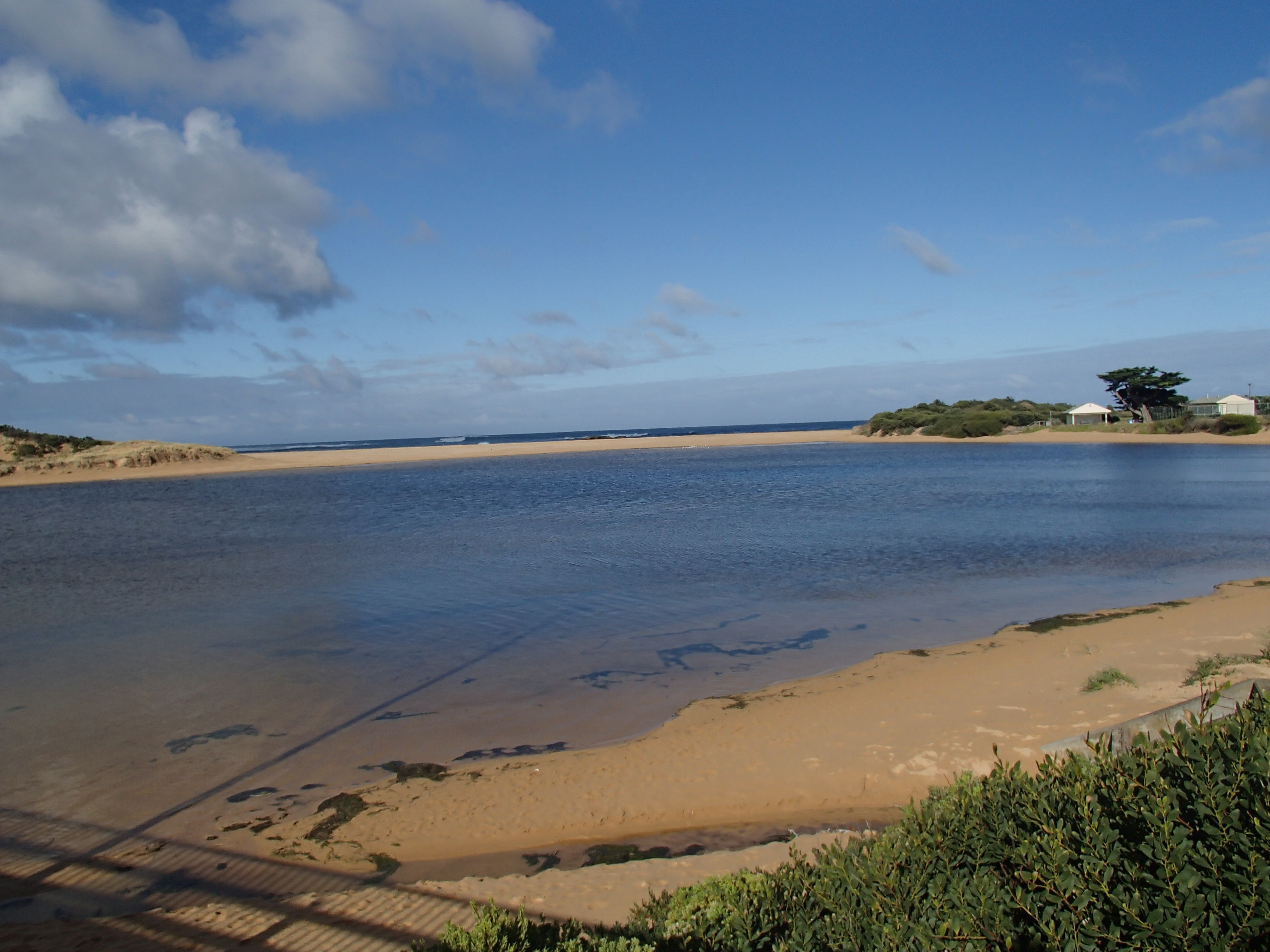
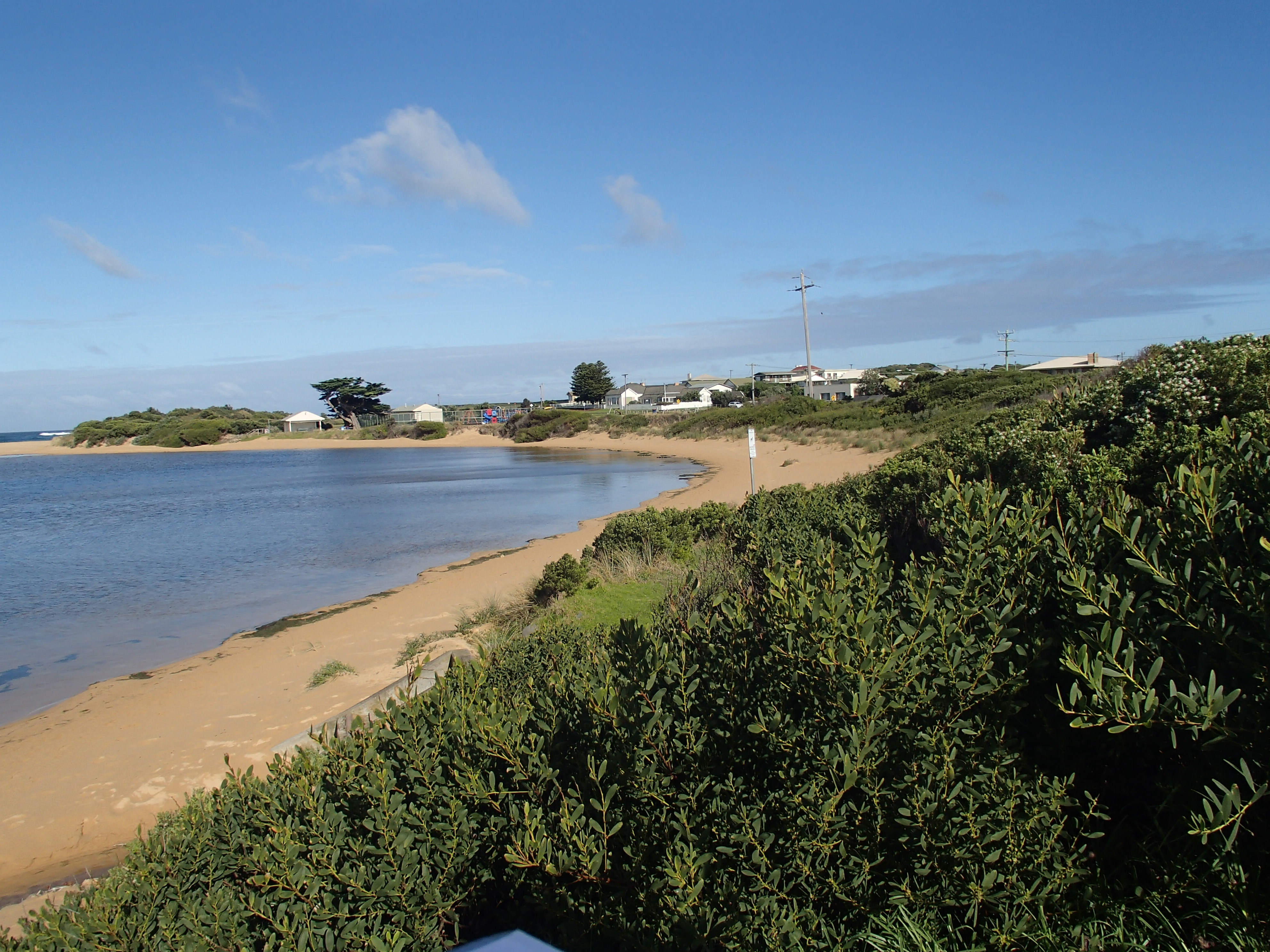
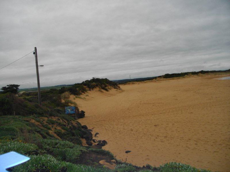
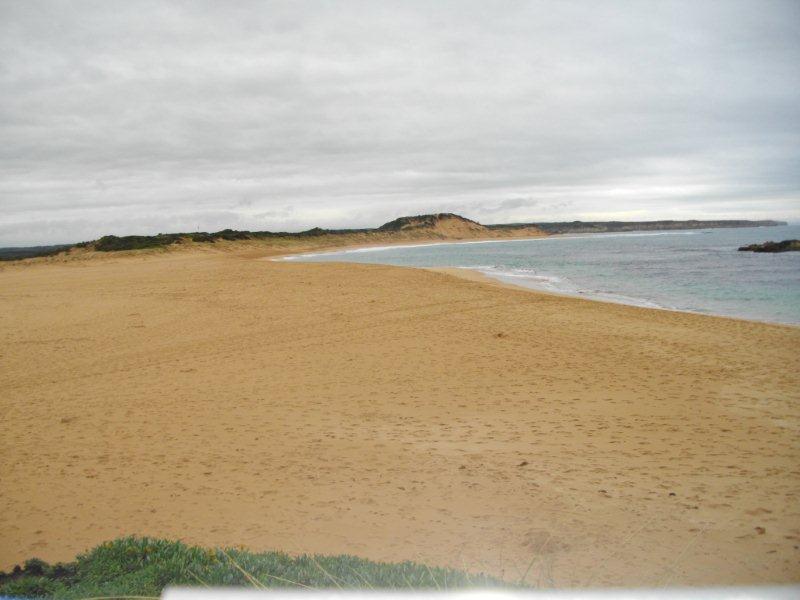
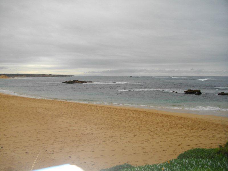
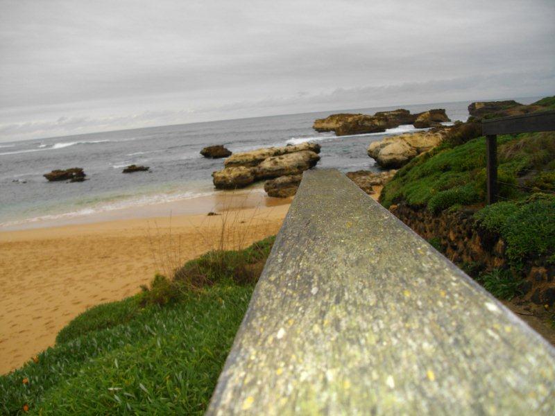
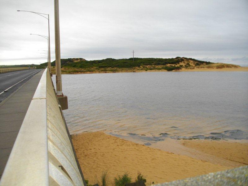
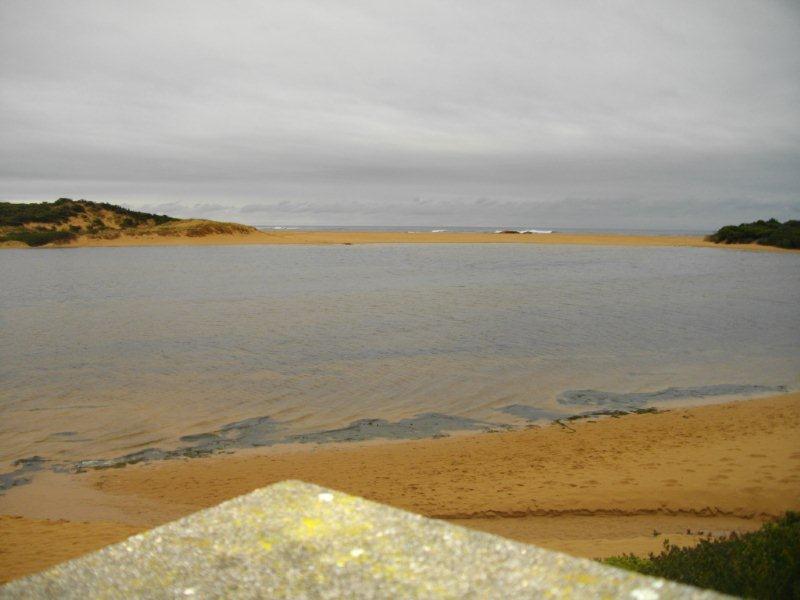
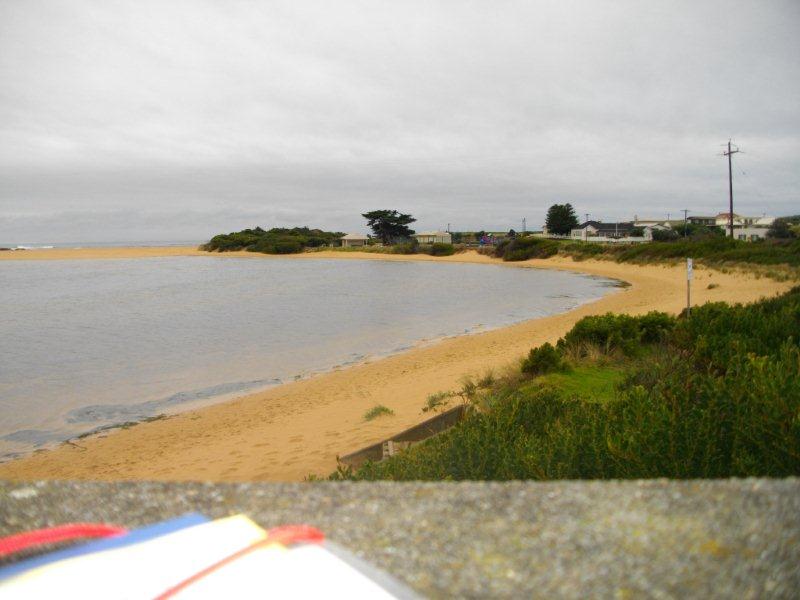
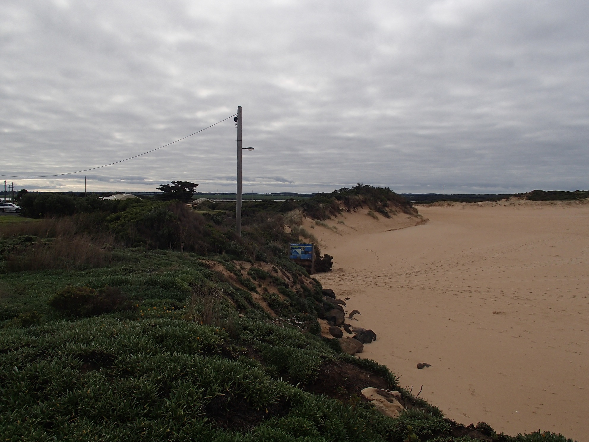
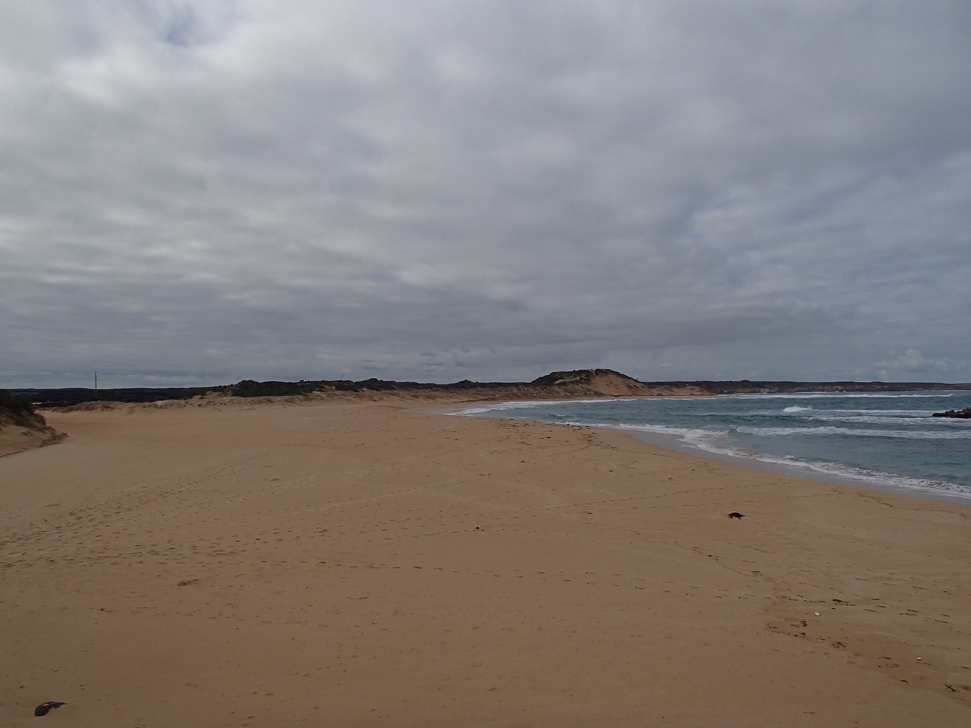
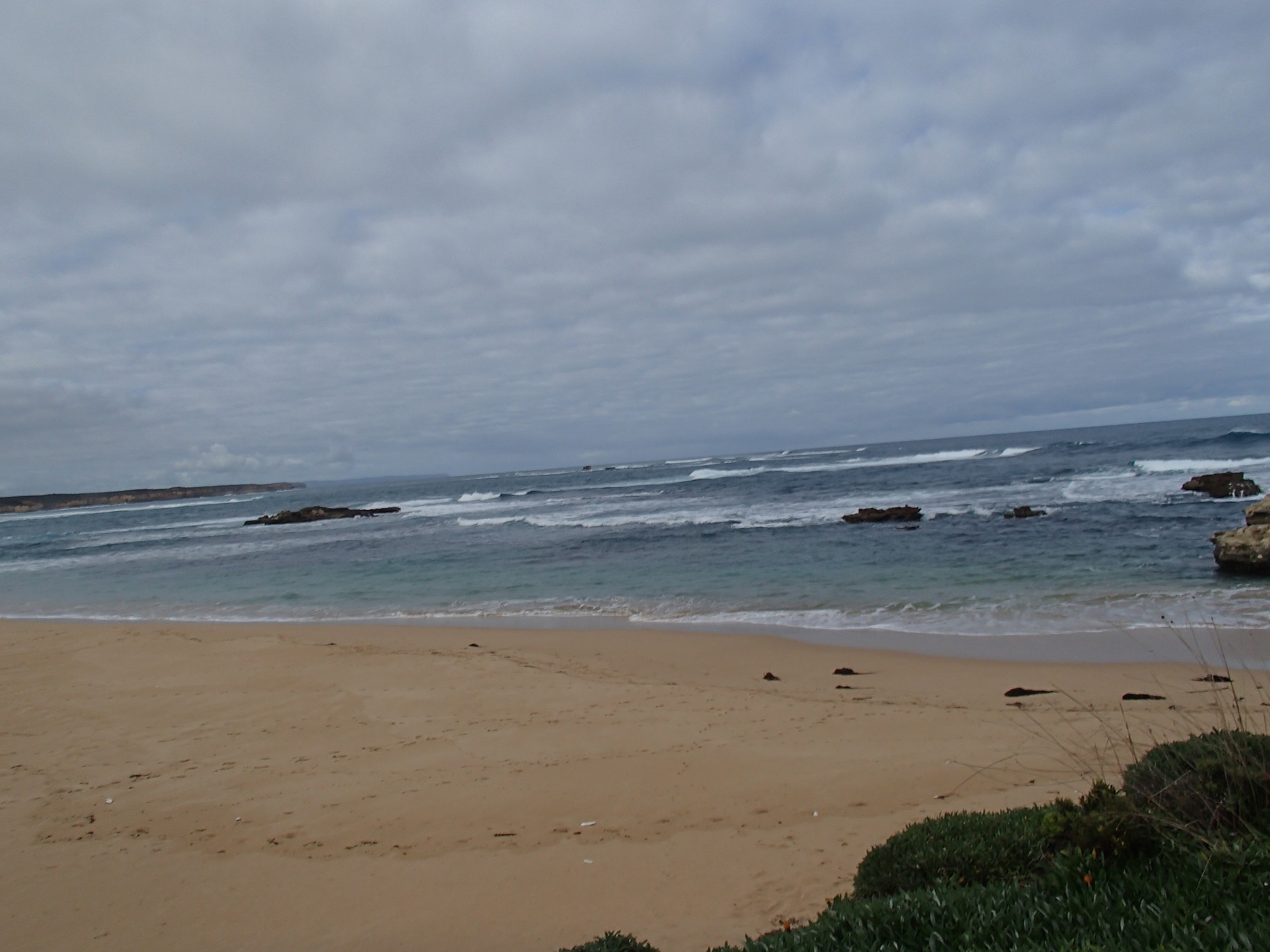
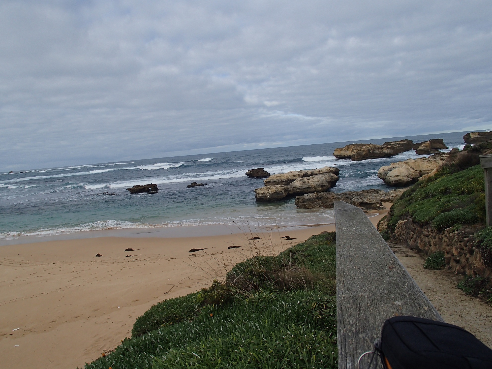
Active Mouth Condition 21-02-2014 - 02-04-2024Curdies River Estuary
156 results found (Displaying 131 - 140)
| ID | Date | Status | Details | |
|---|---|---|---|---|
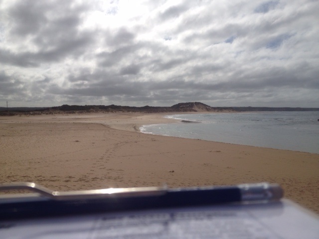
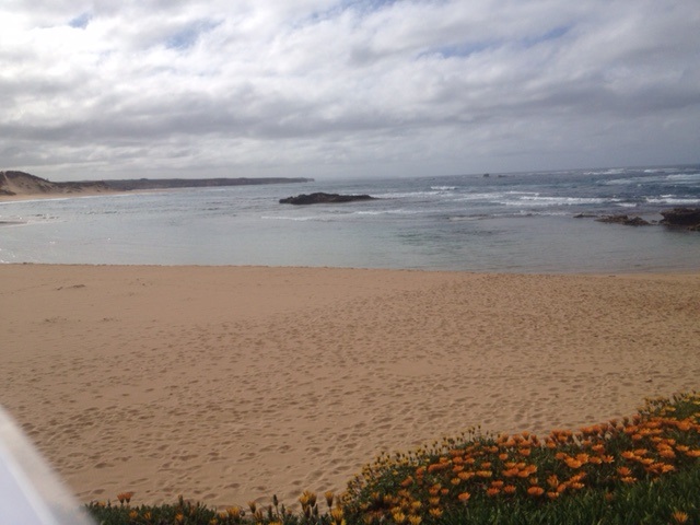
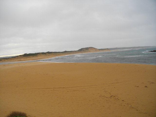
| #9964 | 26 Nov 2015 | Approved | Notes: Berm length was 162m long. There was evidence of seawater over topping the berm. | |
| #9967 | 13 Oct 2015 | Approved | Notes: There is seawater overtopping the berm at high tide. The berm length is 92m. | |
| #9859 | 19 Sep 2015 | Approved |
Notes:
Gauge board needs scrubbing.
|
|
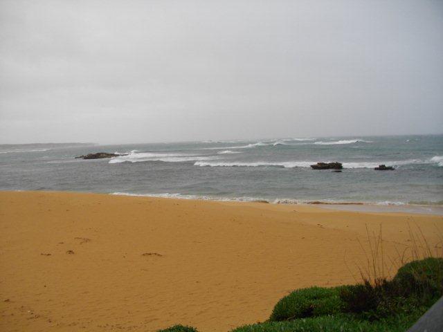
| #9861 | 18 Aug 2015 | Approved | Notes: Sea state has varied from calm to very rough over the last two weeks. | |
| #9760 | 25 Jul 2015 | Approved | Notes: Berm 84m horizontal length. Water level too high to monitor from Boggy Creek. | |
| #10518 | 12 Jul 2015 | Approved | ||
| #9766 | 26 Jun 2015 | Approved | ||
| #9761 | 16 Jun 2015 | Approved | Notes: Unable to record berm measurements with one person. | |
| #9641 | 3 Jun 2015 | Approved | ||
| #9762 | 2 Jun 2015 | Approved |
|
|

All content, files, data and images provided by the EstuaryWatch Data Portal and Gallery are subject to a Creative Commons Attribution License
Content is made available to be used in any way, and should always attribute EstuaryWatch and www.estuarywatch.org.au