EstuaryWatch Data Portal
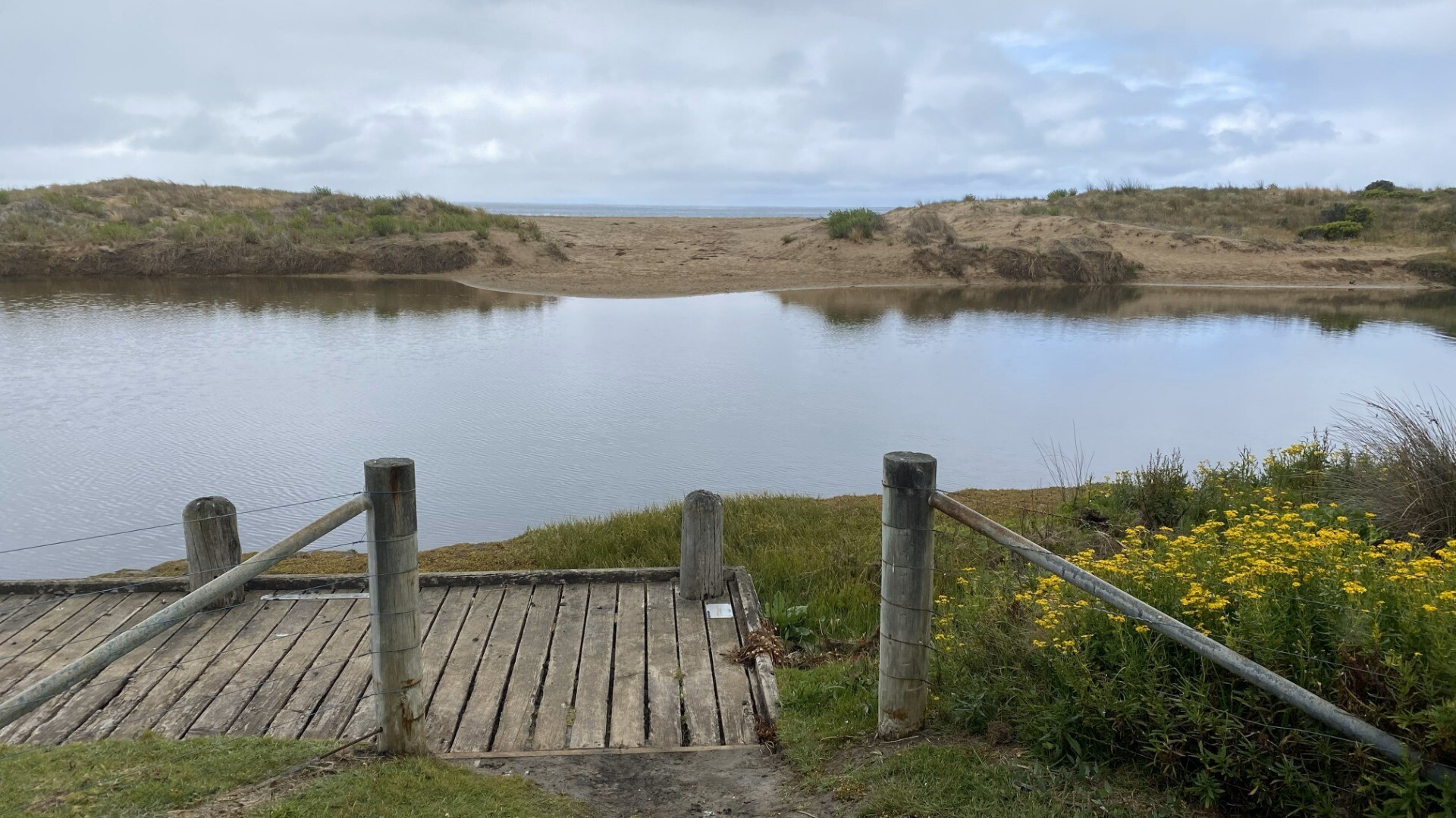
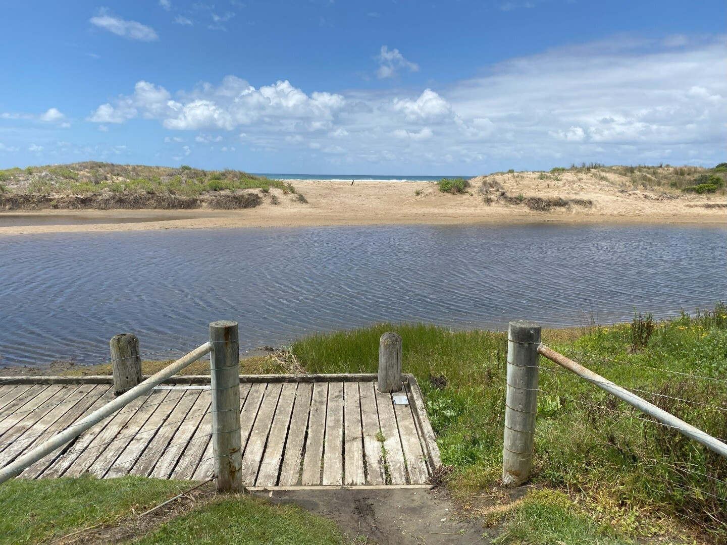
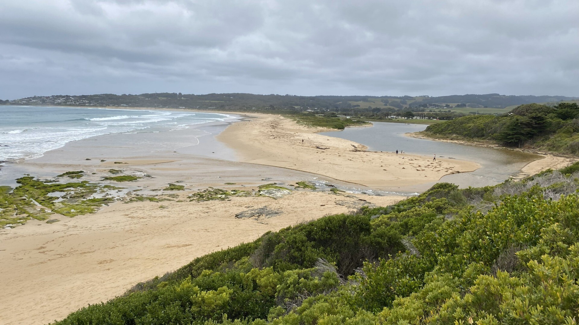
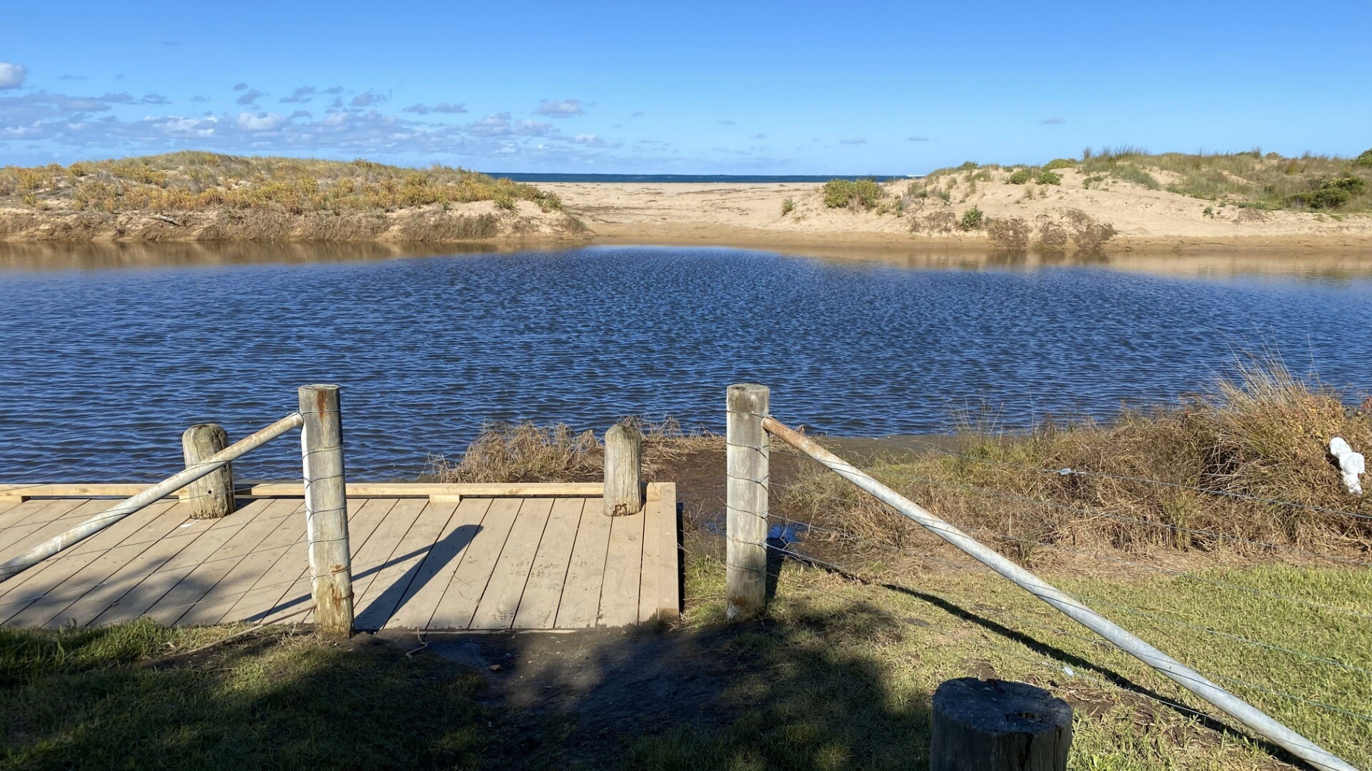
BmMC Barham River Observation Site
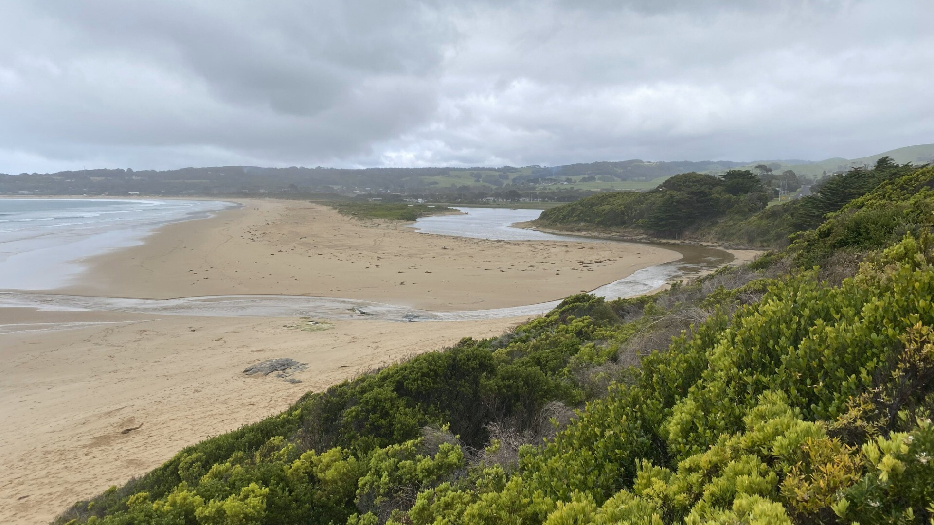
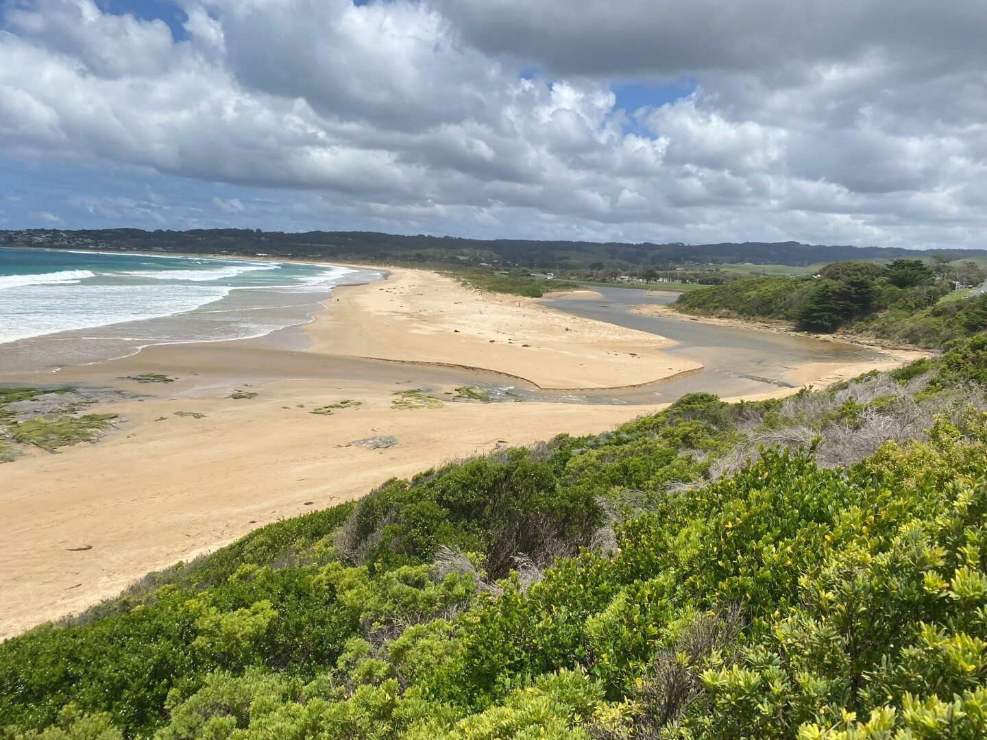
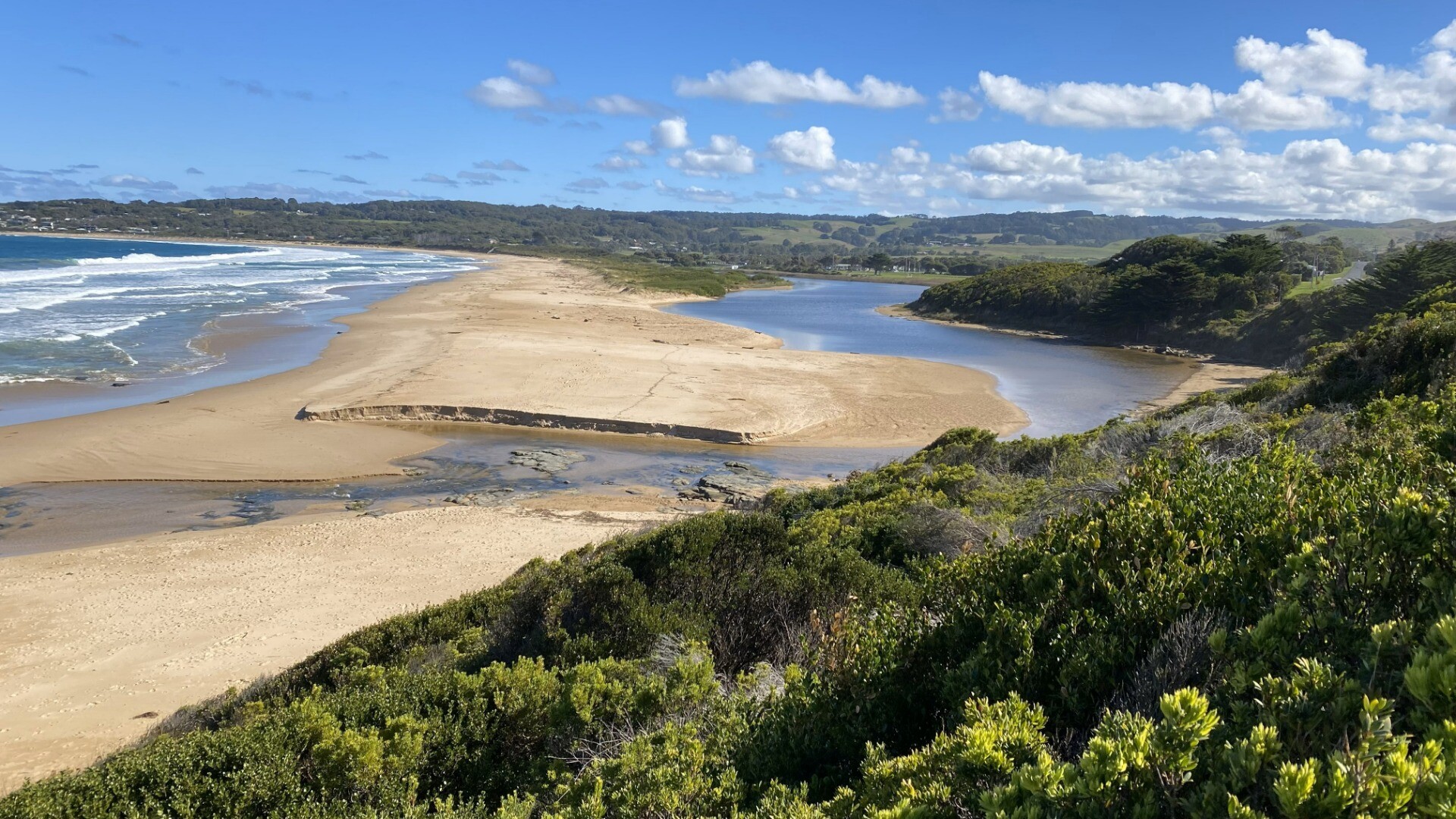
Active Mouth Condition 23-05-2008 - 19-04-2024Barham River Estuary
| ID | Date | Status | Details | |
|---|---|---|---|---|
| #15869 | 18 Nov 2023 | Pending |
Notes:
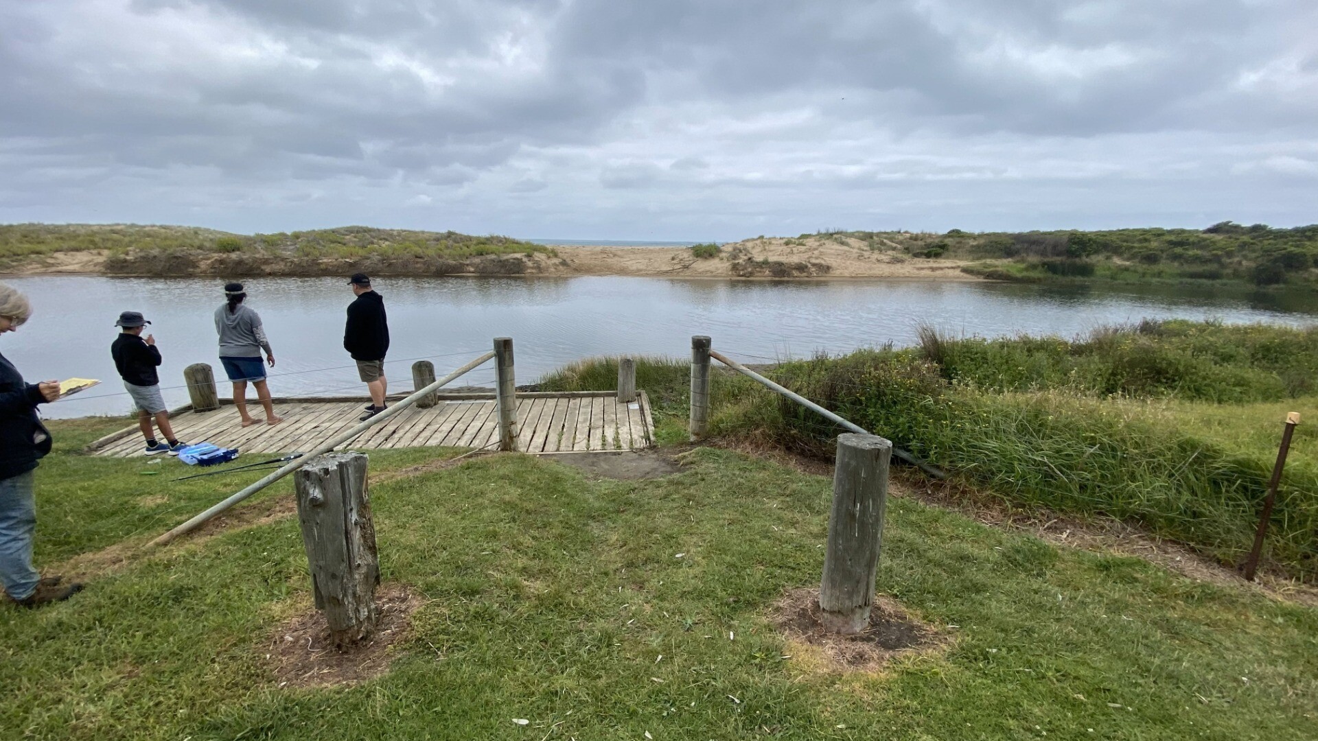
Good to see that access to water level marker has been cleared - thank you Water level was well below the bottom of the marker today Sea state has been very variable over last 2 weeks |
|
| #15941 | 19 Dec 2023 | Pending |
Notes:
Water level below height markers |
|
| #15987 | 19 Jan 2024 | Pending |
Notes:
Wind mode last 2 weeks - very variable in both direction and strength from strong eaterly to calm sw
Water level below all measurement markers
Apologies about no tidal data - forgot to complete on day and can't locate retrospectively from weather/tide apps |
|
| #16064 | 21 Mar 2024 | Pending |
Notes:
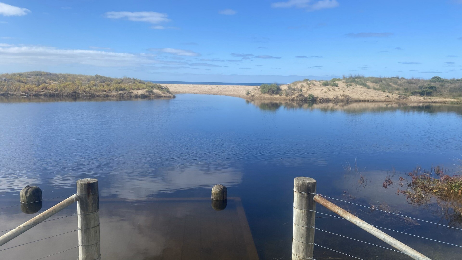
Lower water level marker is still completely obscured by overgrown bushes. Level we;ll below the bottom of higher marker (< 2m) though quite high and over banks in campground. Wind and sea state very variable over last 2 weeks - easterlies predominant varying from still to quite strong winds. Sea state from flat calm to very rough. Observed someone digging small channel to open berm (but they gave up before completing this). Following day, 22nd March, the river mouth had burst through the berm and was fully open agin. |
|
| #16130 | 19 Apr 2024 | Pending |
Notes:
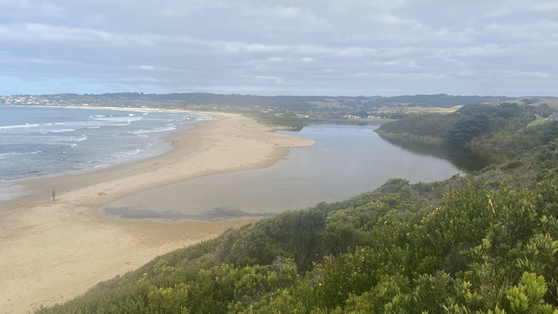
Sea state very variable over previous 2 weeks from flat calm to Rough Cannot measure water level due to lower gauge beng obscured by bushes River mouth was closed until previous day. River level quite high and overflowng banks prior to this.
|
|

All content, files, data and images provided by the EstuaryWatch Data Portal and Gallery are subject to a Creative Commons Attribution License
Content is made available to be used in any way, and should always attribute EstuaryWatch and www.estuarywatch.org.au